
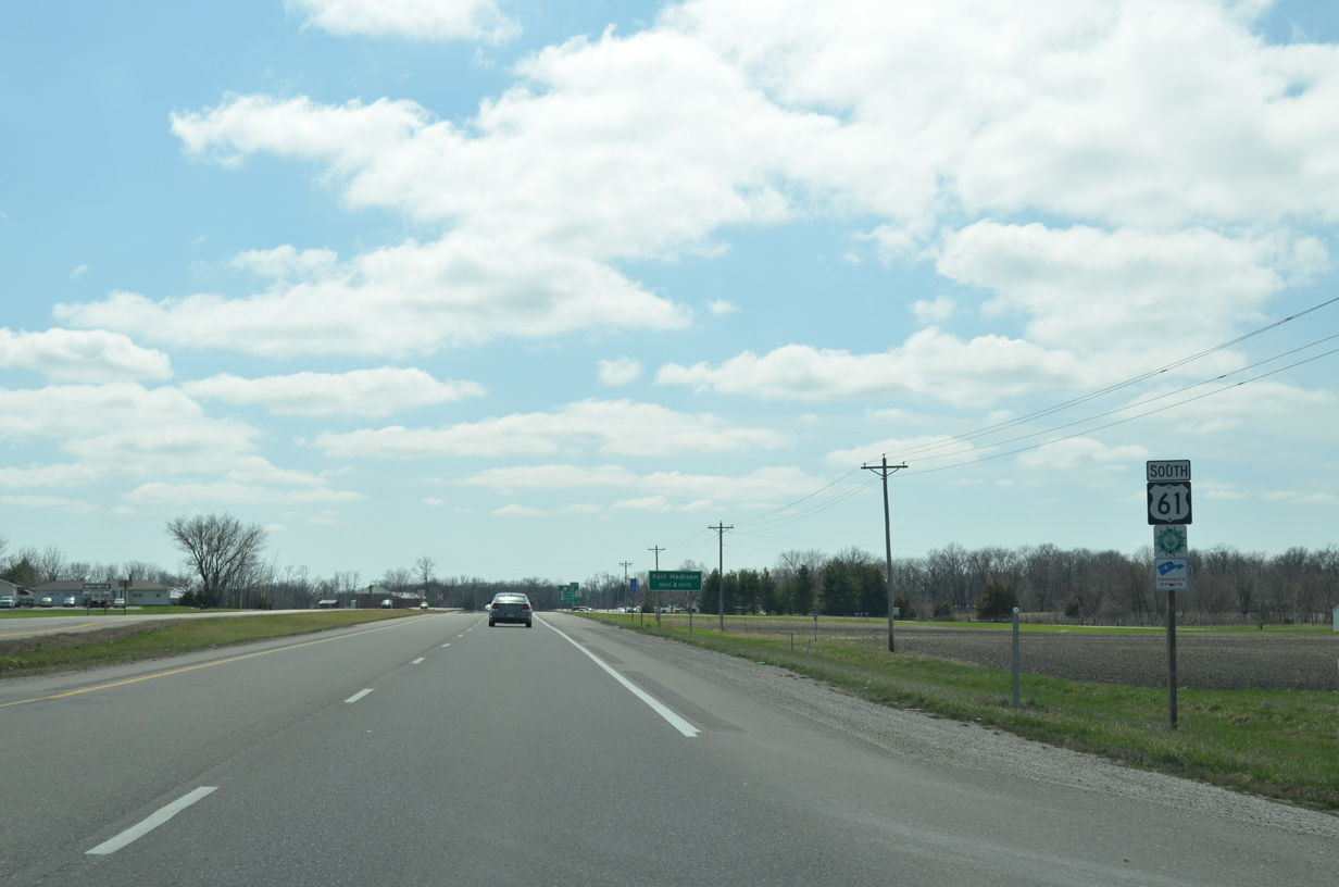
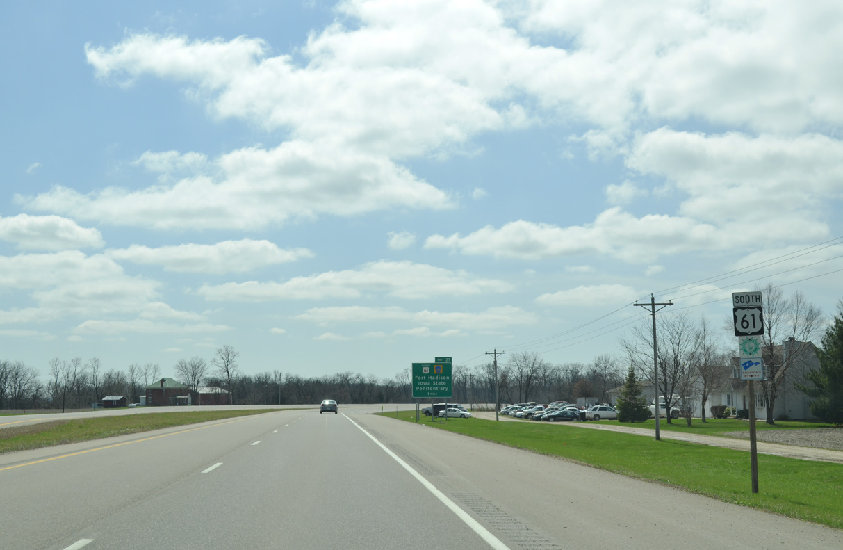
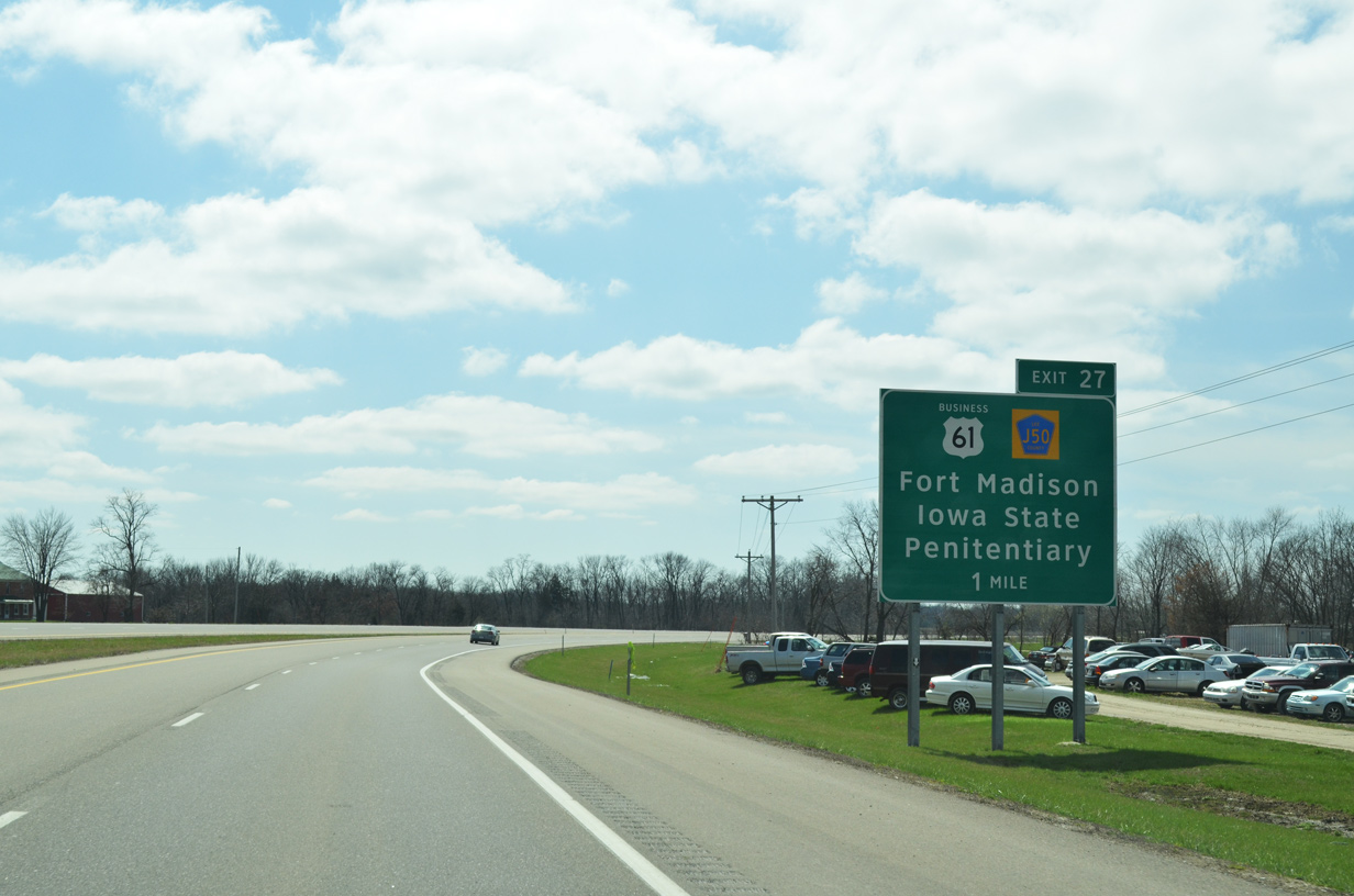
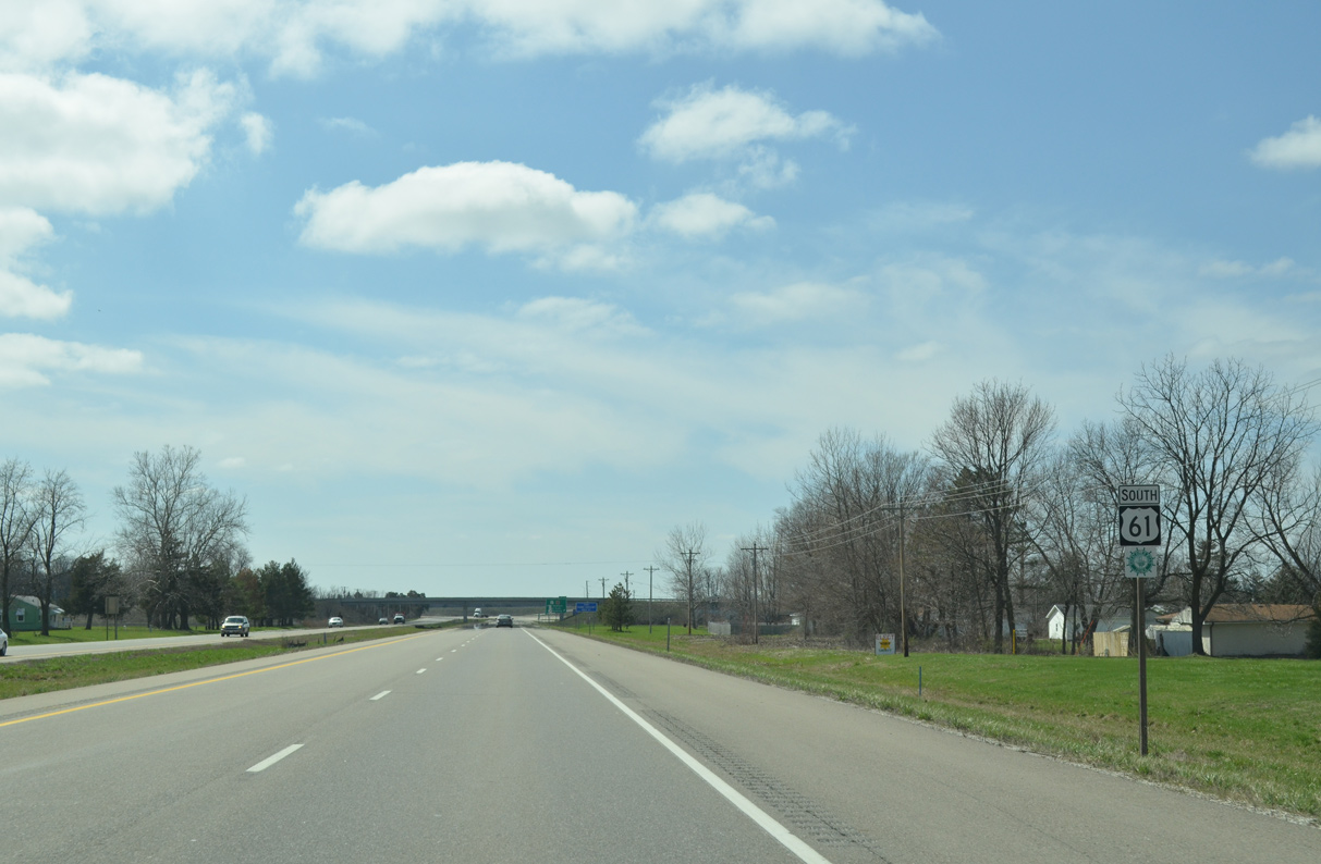
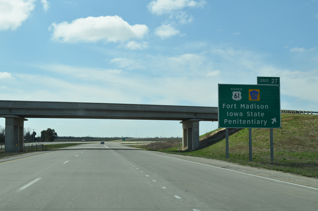
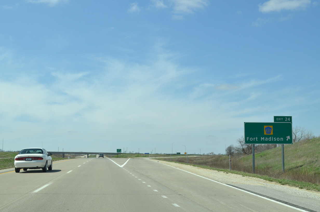
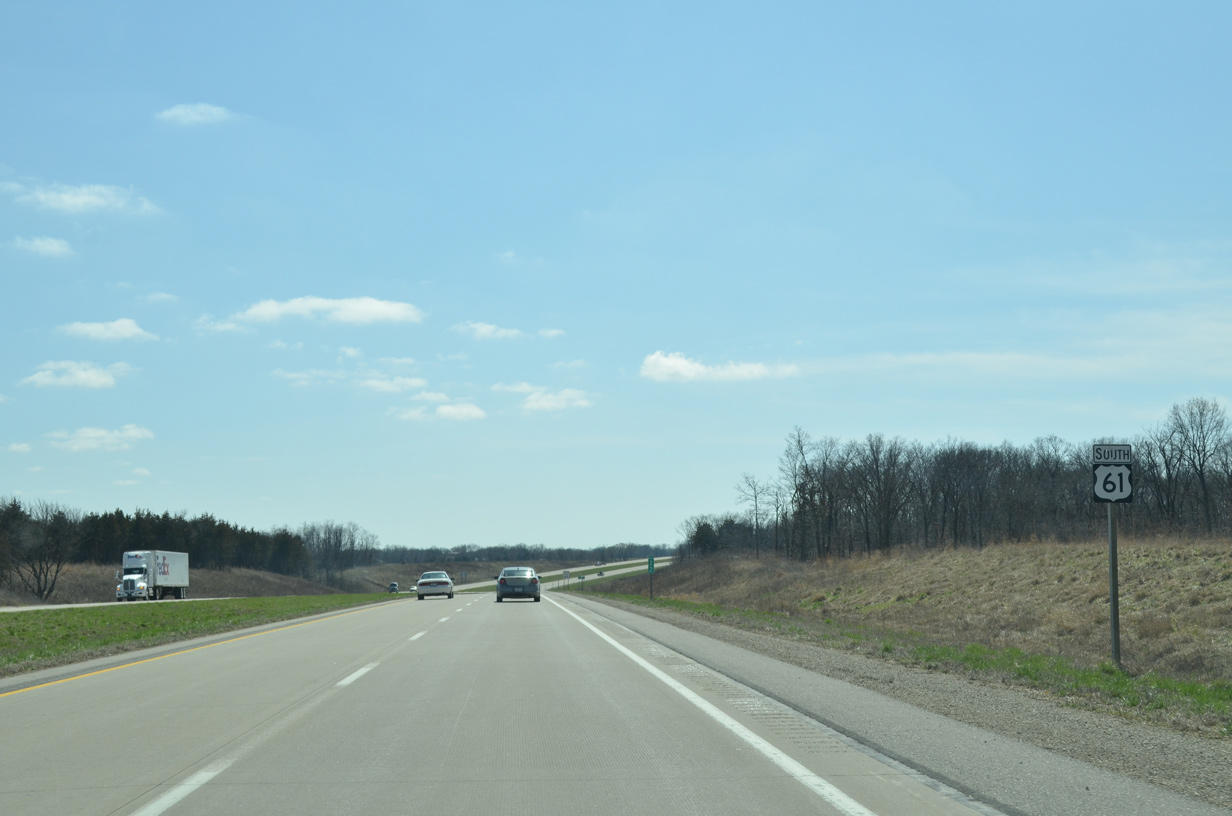
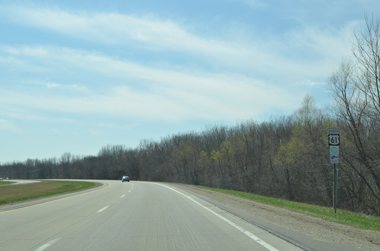
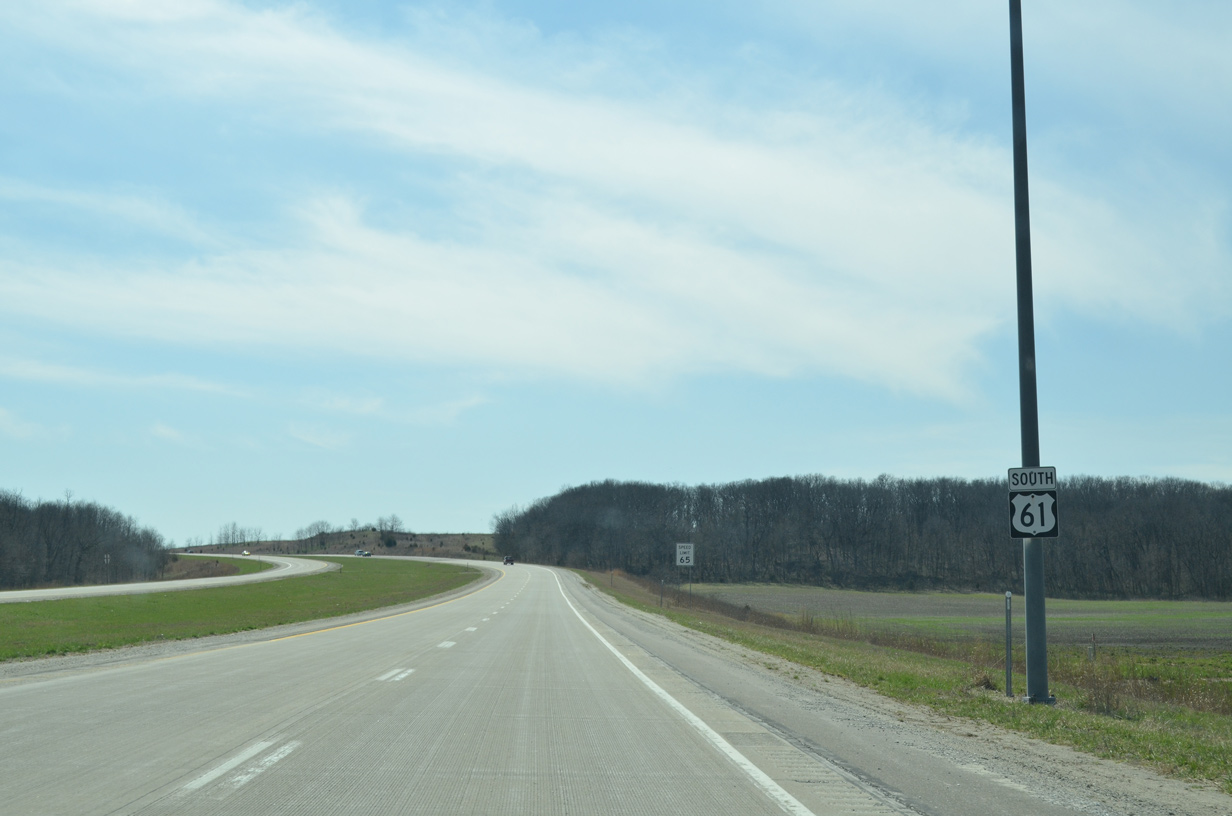
U.S. 61 South - Fort Madison

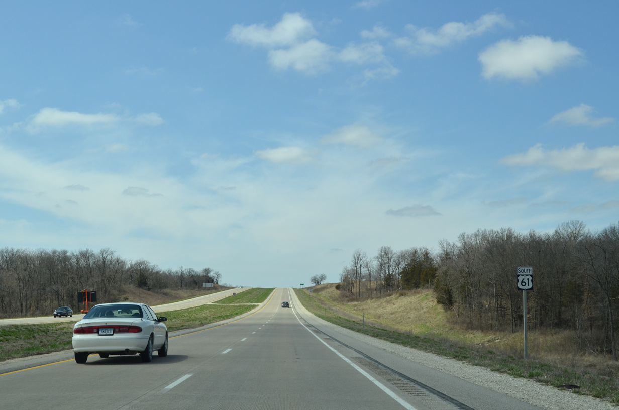
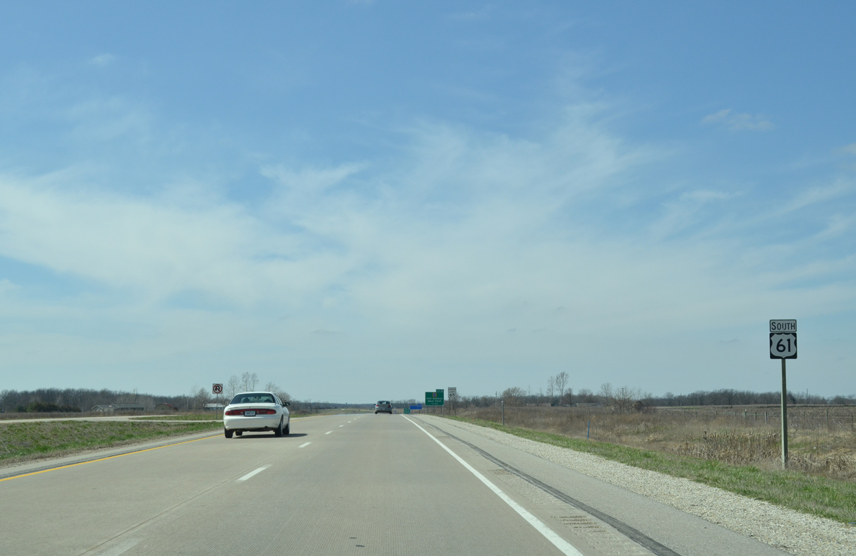
 South
South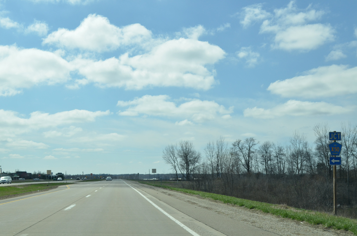
03/25/16
03/25/16
03/25/16
03/25/16
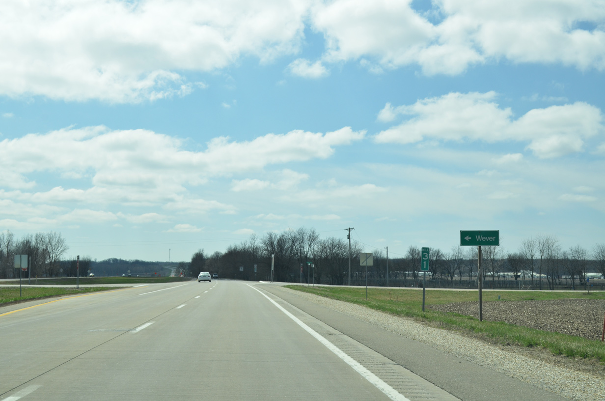
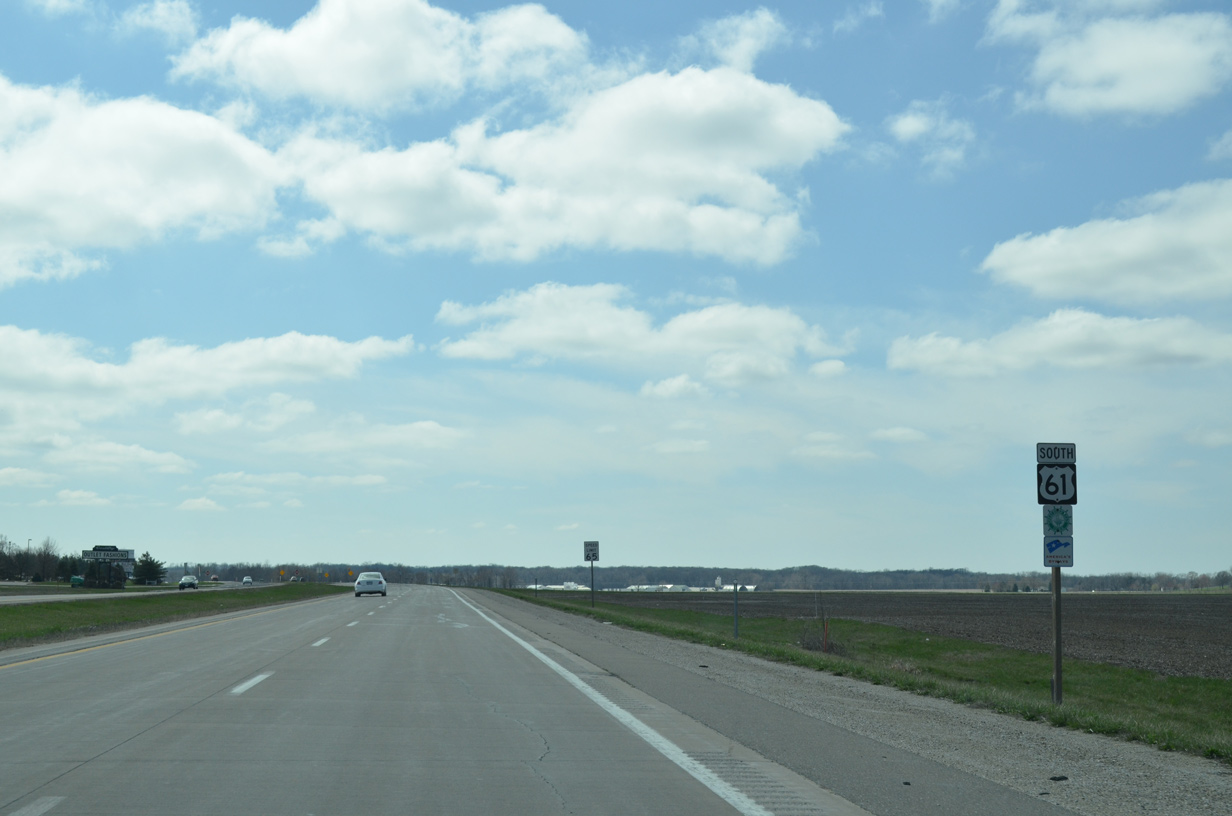
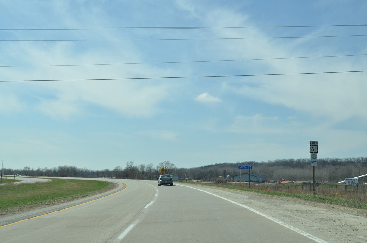
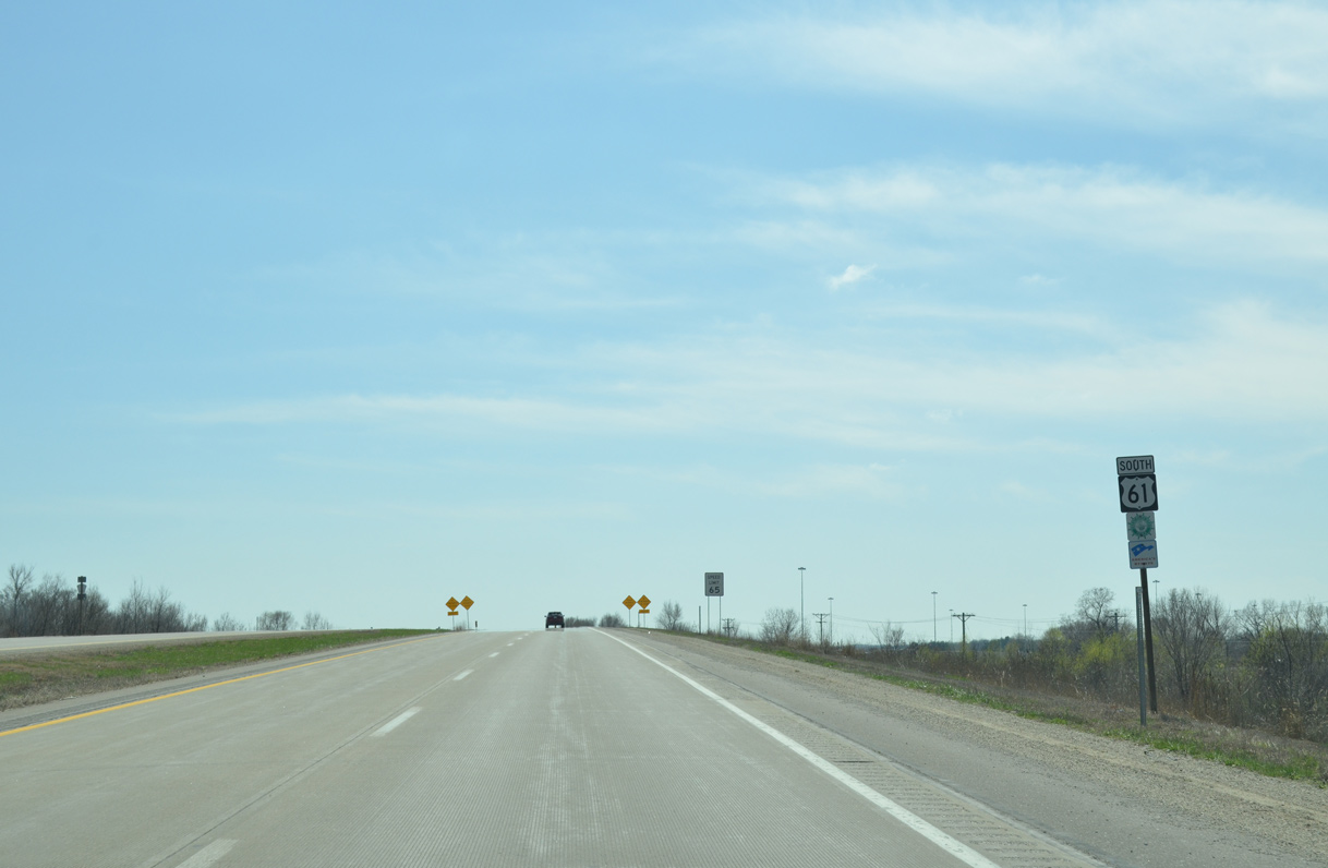
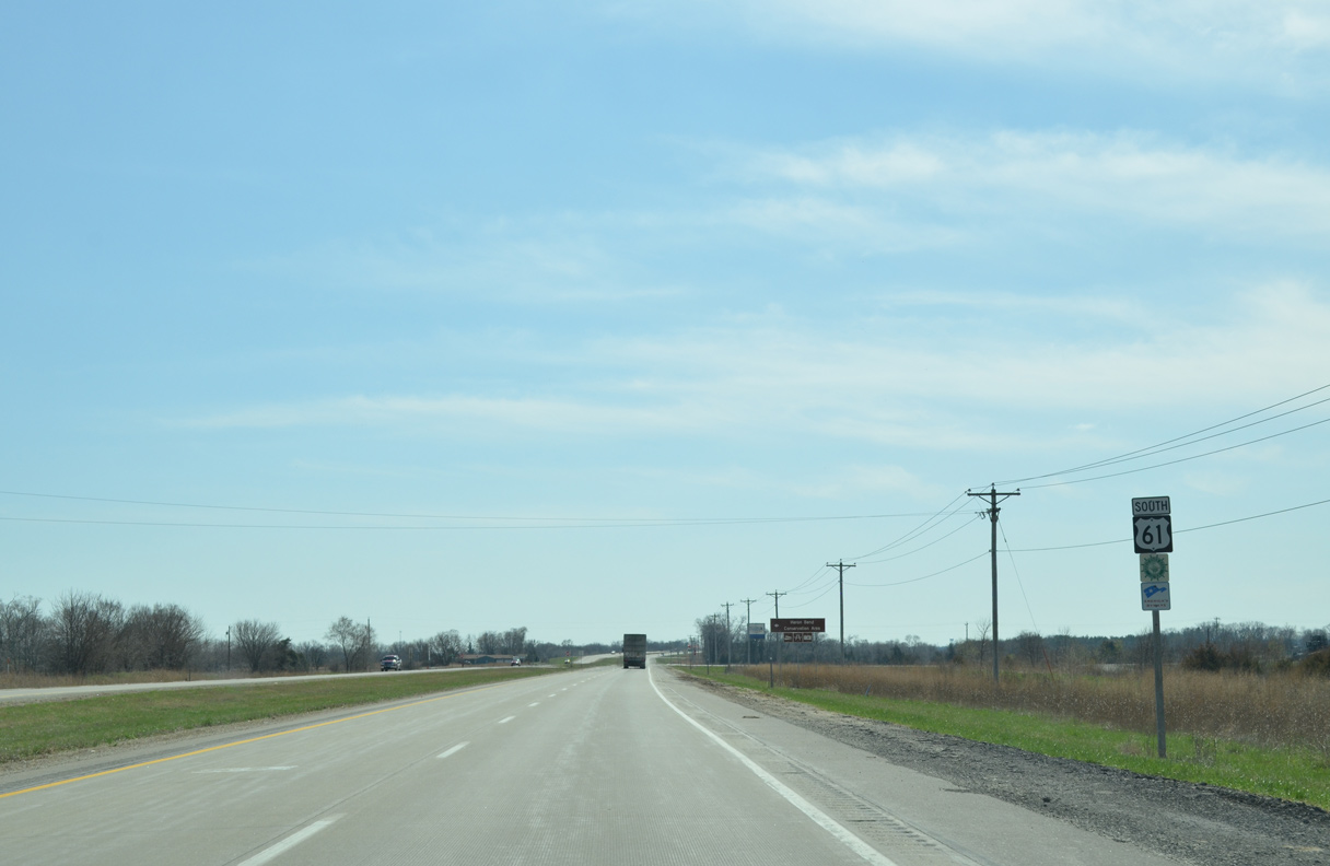
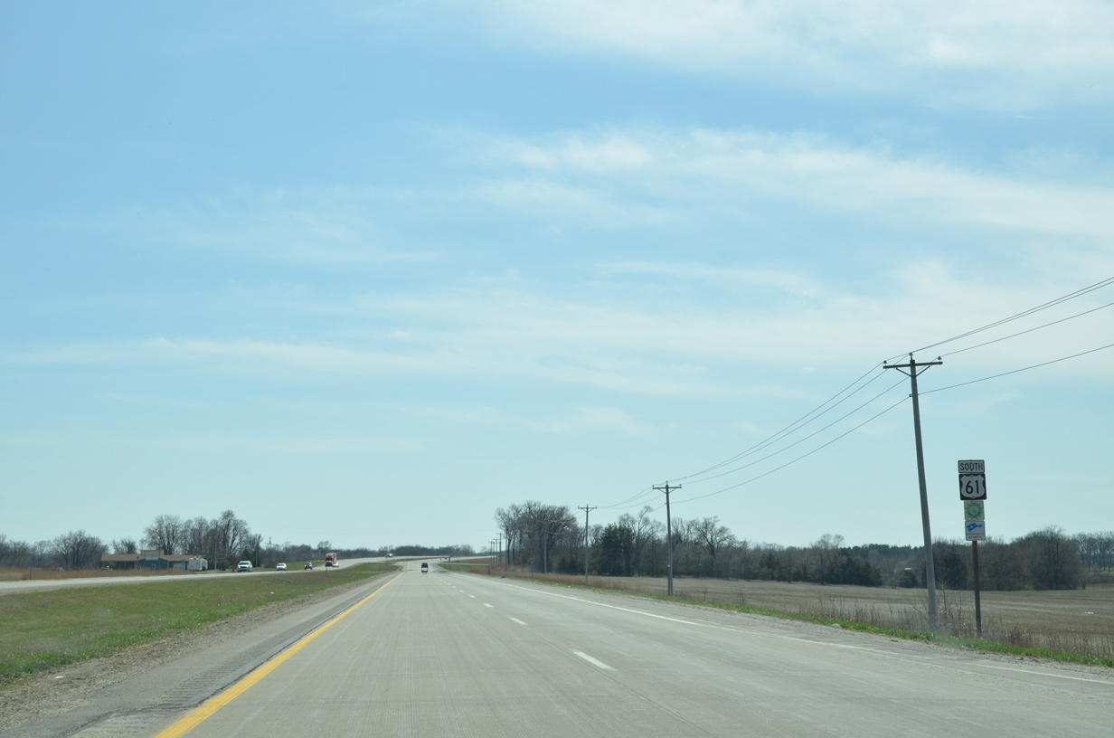
U.S. 61 bypasses Wever to the west.
03/25/16
03/25/16
03/25/16
03/25/16
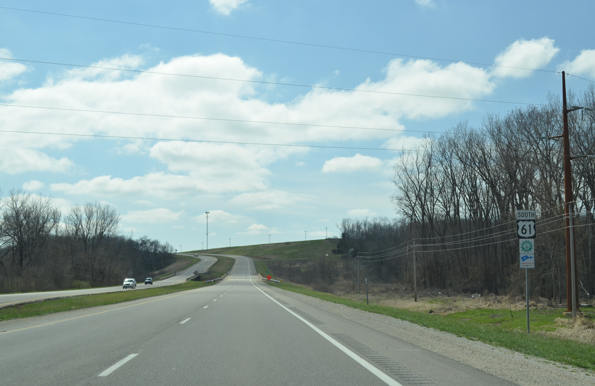
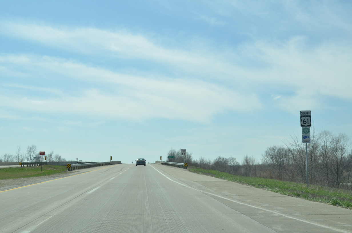
U.S. 61 crosses Lost Creek south of 180th Street and than onto a bluff rising 660 feet above sea level.
03/25/16
03/25/16
03/25/16
03/25/16
03/25/16
03/25/16
03/25/16
03/25/16
03/25/16
03/25/16
03/25/16
03/25/16
03/25/16
03/25/16
03/25/16
03/25/16
03/25/16
03/25/16
03/25/16
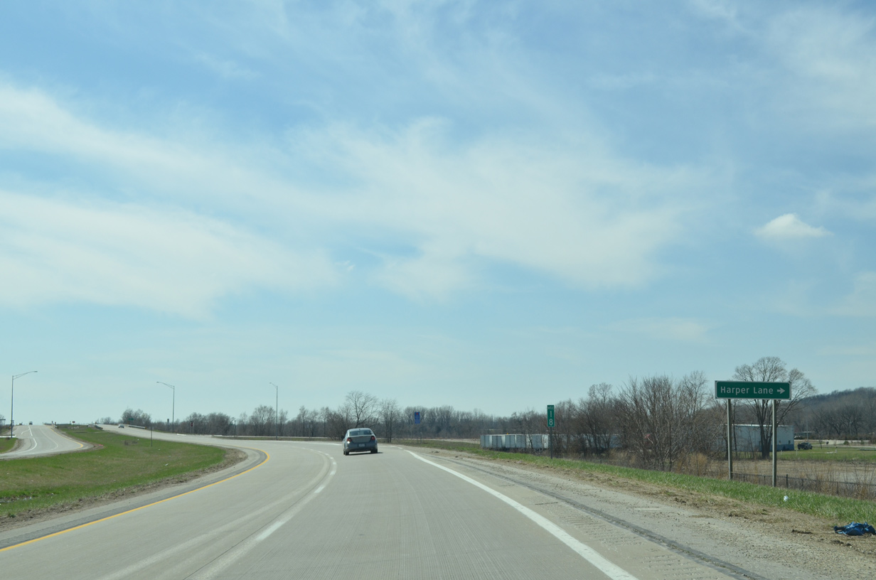
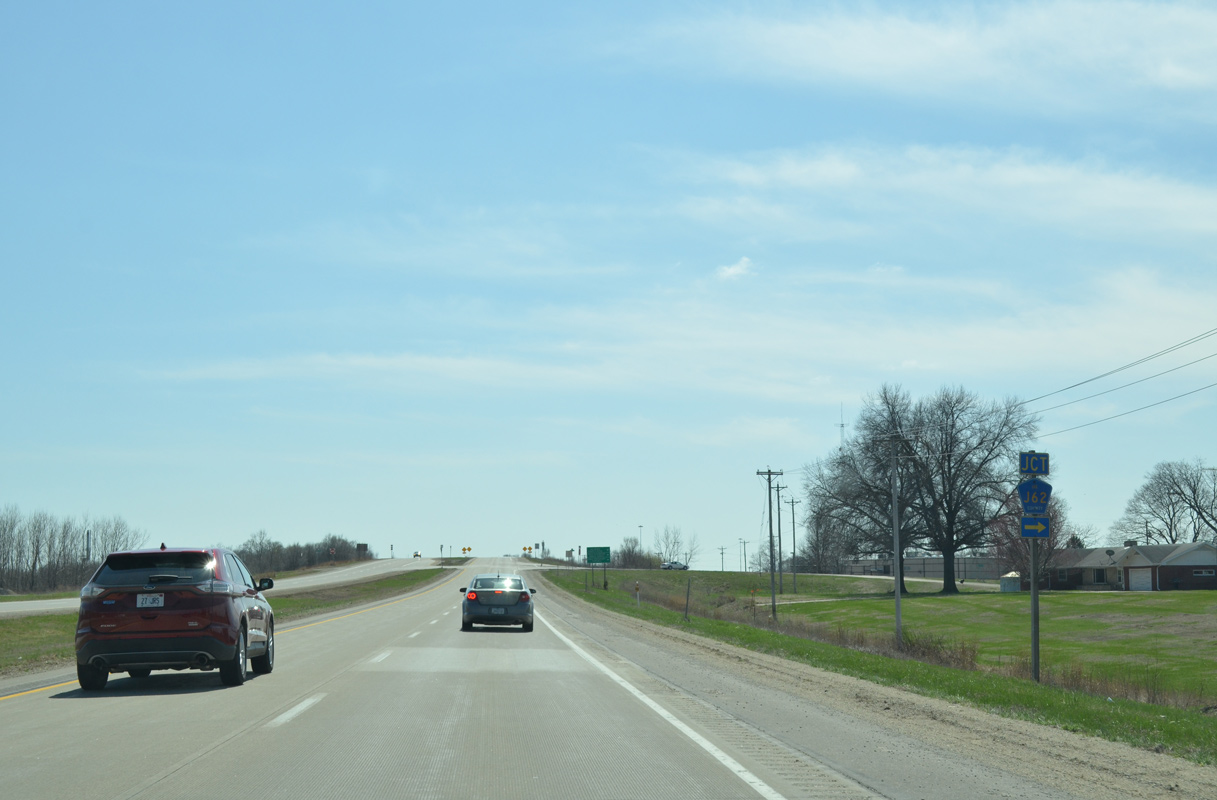
RIRO (right in right out) ramps connect both sides of U.S. 61 with 233rd Street within the vicinity of Harper Lane and 255th Avenue (old U.S. 61).
03/25/16
03/25/16
159th Avenue links the discontinuous sections of 233rd Street below U.S. 61.
03/25/16
03/25/16
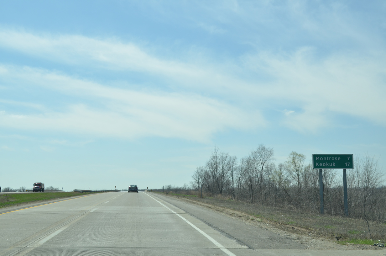
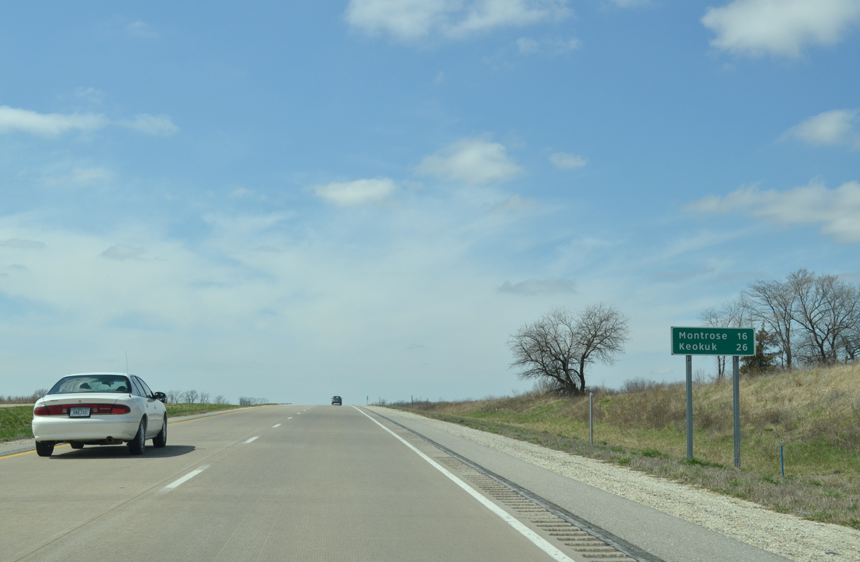
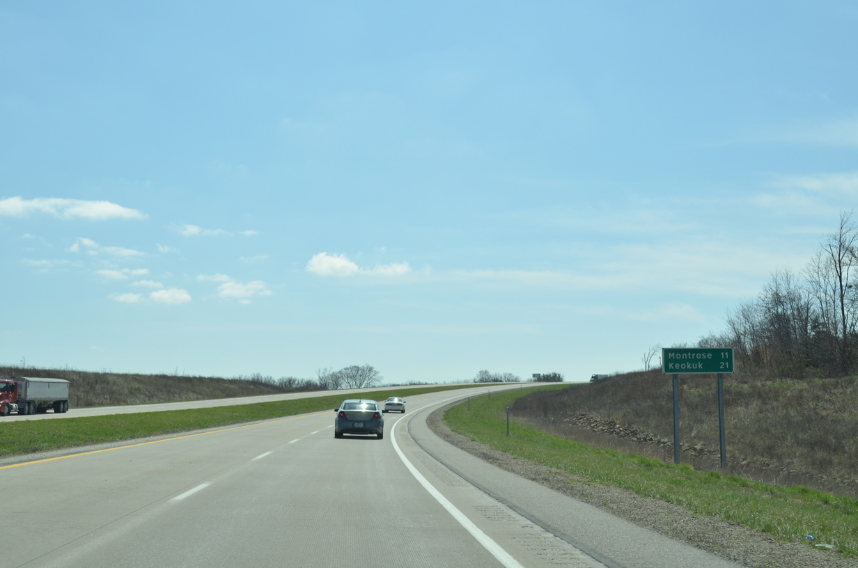
U.S. 61 spans a BNSF Railroad line beyond 159th Avenue. Montrose and Keokuk are within 17 miles.
03/25/16
03/25/16
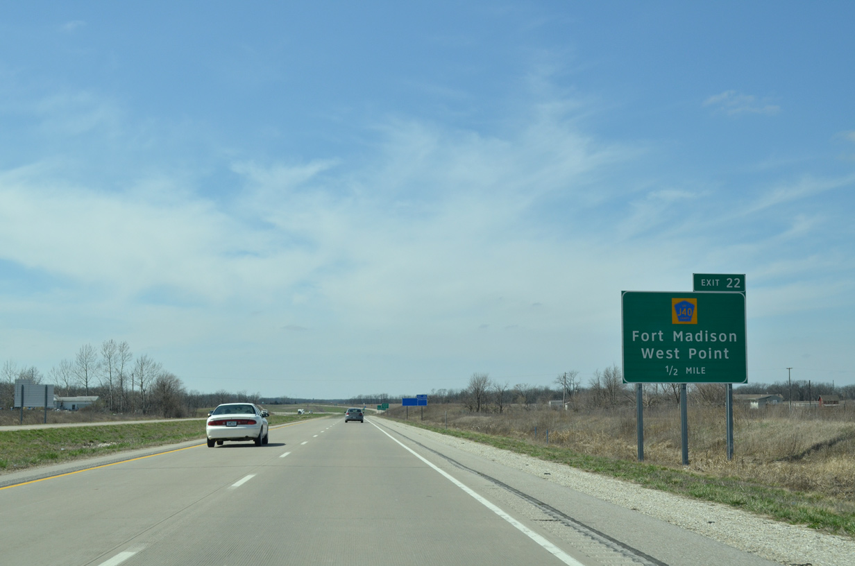
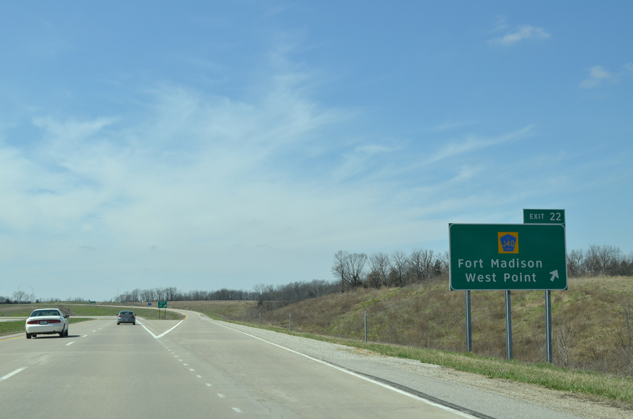
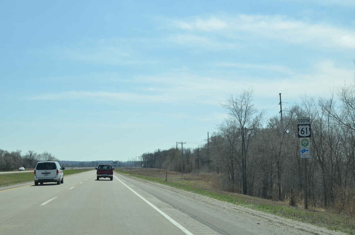
The U.S. 61 expressway overtakes the former two lane alignment south from 255th Avenue.
03/25/16
03/25/16
03/25/16
03/25/16
03/25/16
03/25/16

U.S. 61 elevates across another BNSF Railroad line beyond 270th Street.
03/25/16
03/25/16
A section of Old Highway 61 loops east from U.S. 61 to residences and a mobile home park along the Mississippi River at 274th Street.
03/25/16
03/25/16
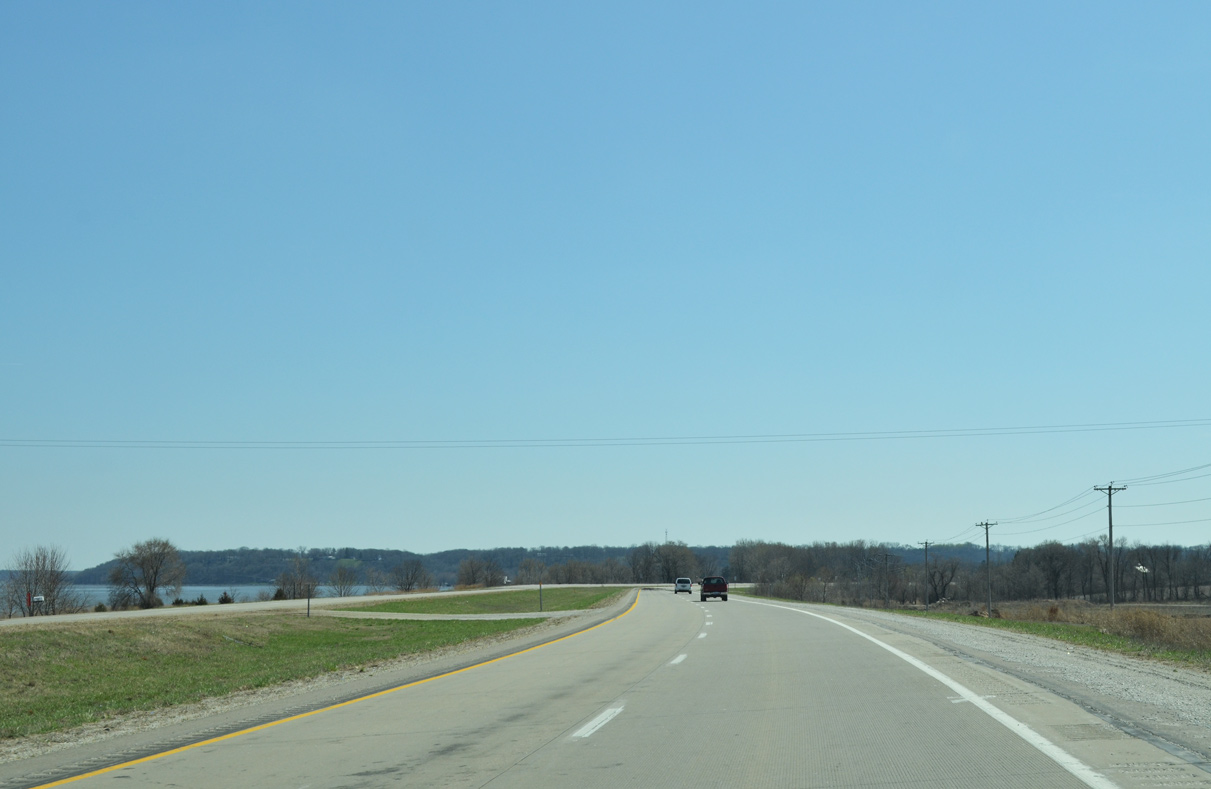
The Mississippi River comes into view as U.S. 61 shifts eastward from 280th Street through an S-curve.
03/25/16
03/25/16
U.S. 61 curves southwest from Mississippi River Road to bypass the city of Montrose.
03/25/16
03/25/16
03/25/16
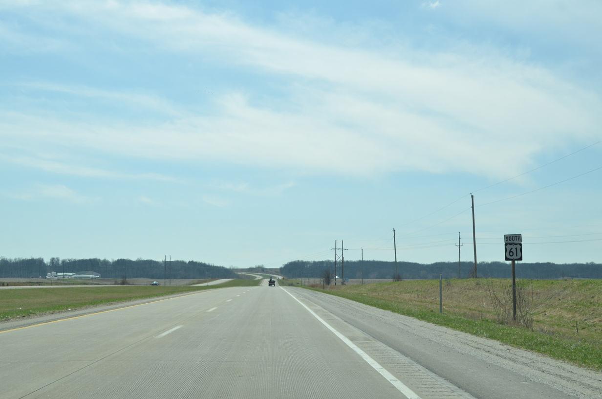
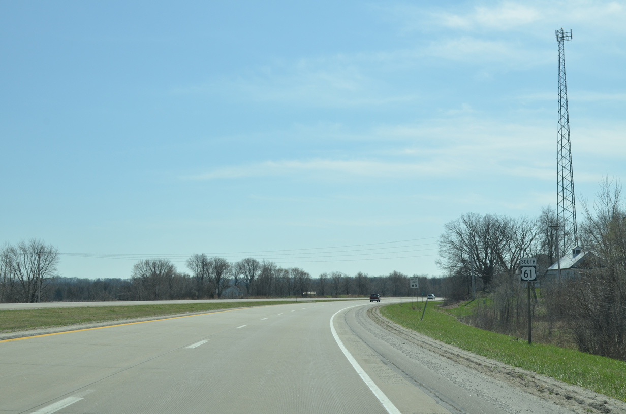
Reassurance marker posted south of Jack Creek and Peach Orchard Road outside Montrose.
03/25/16
03/25/16
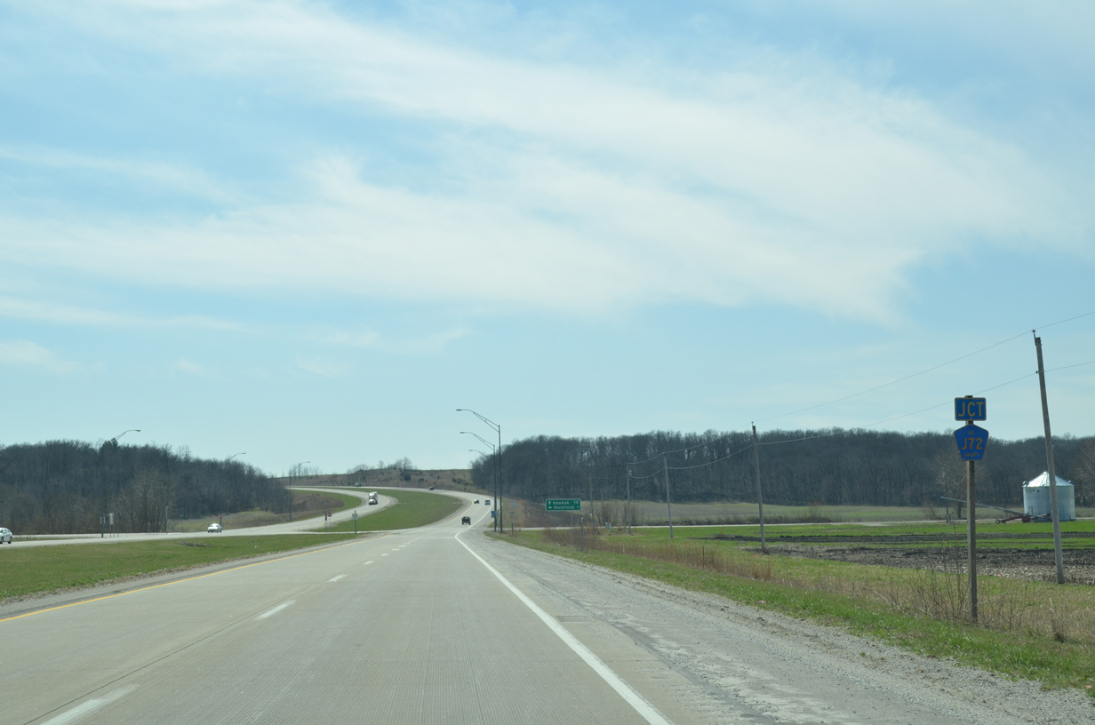
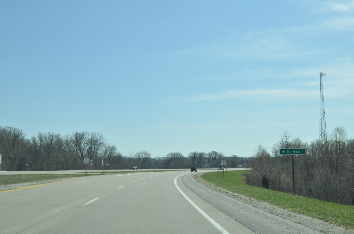
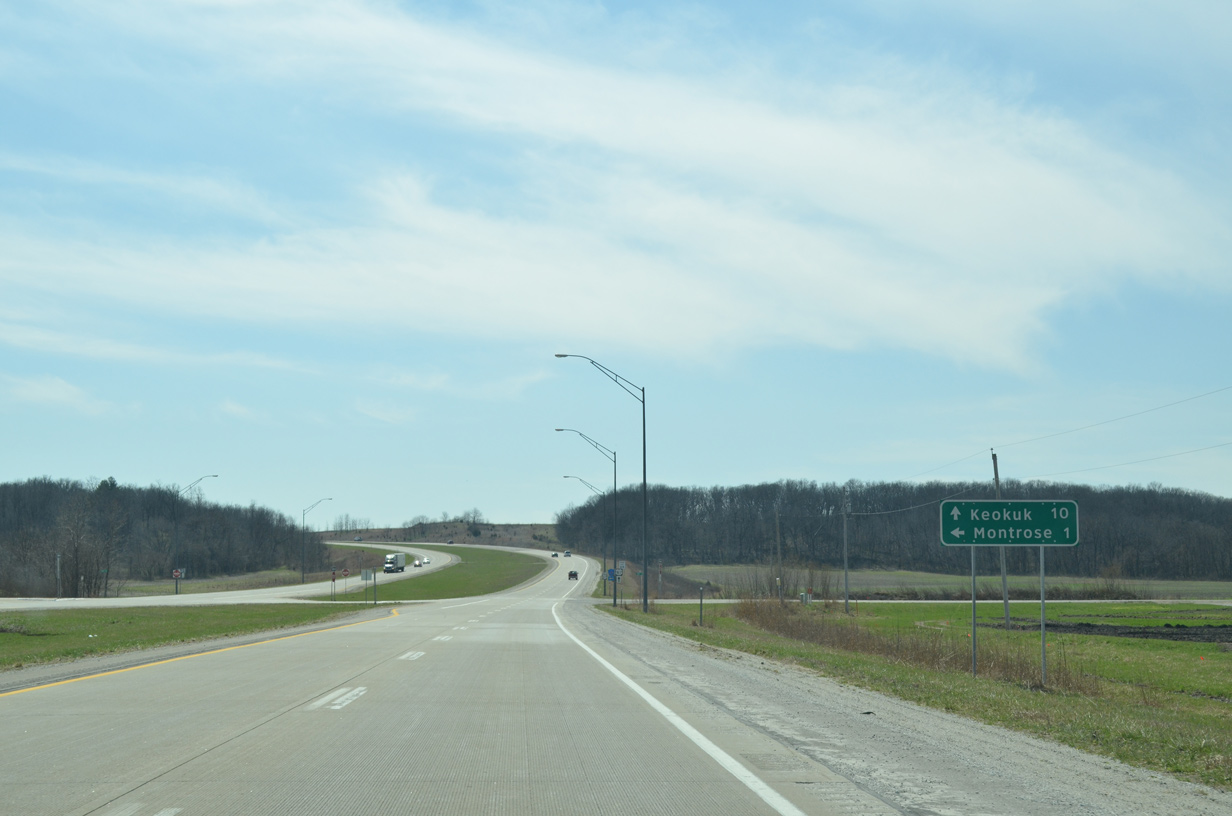
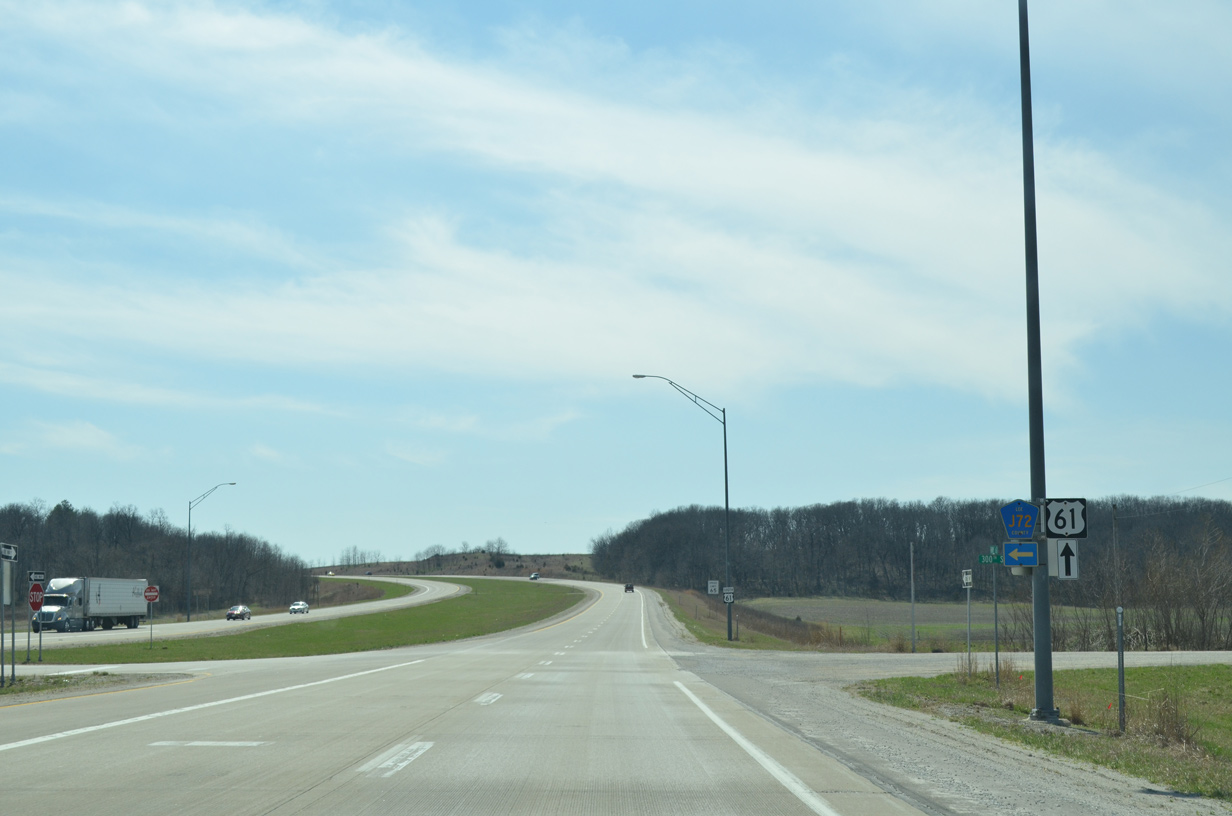
CR J72 follows former Iowa 404 east to Main Street in Montrose.
03/25/16
03/25/16
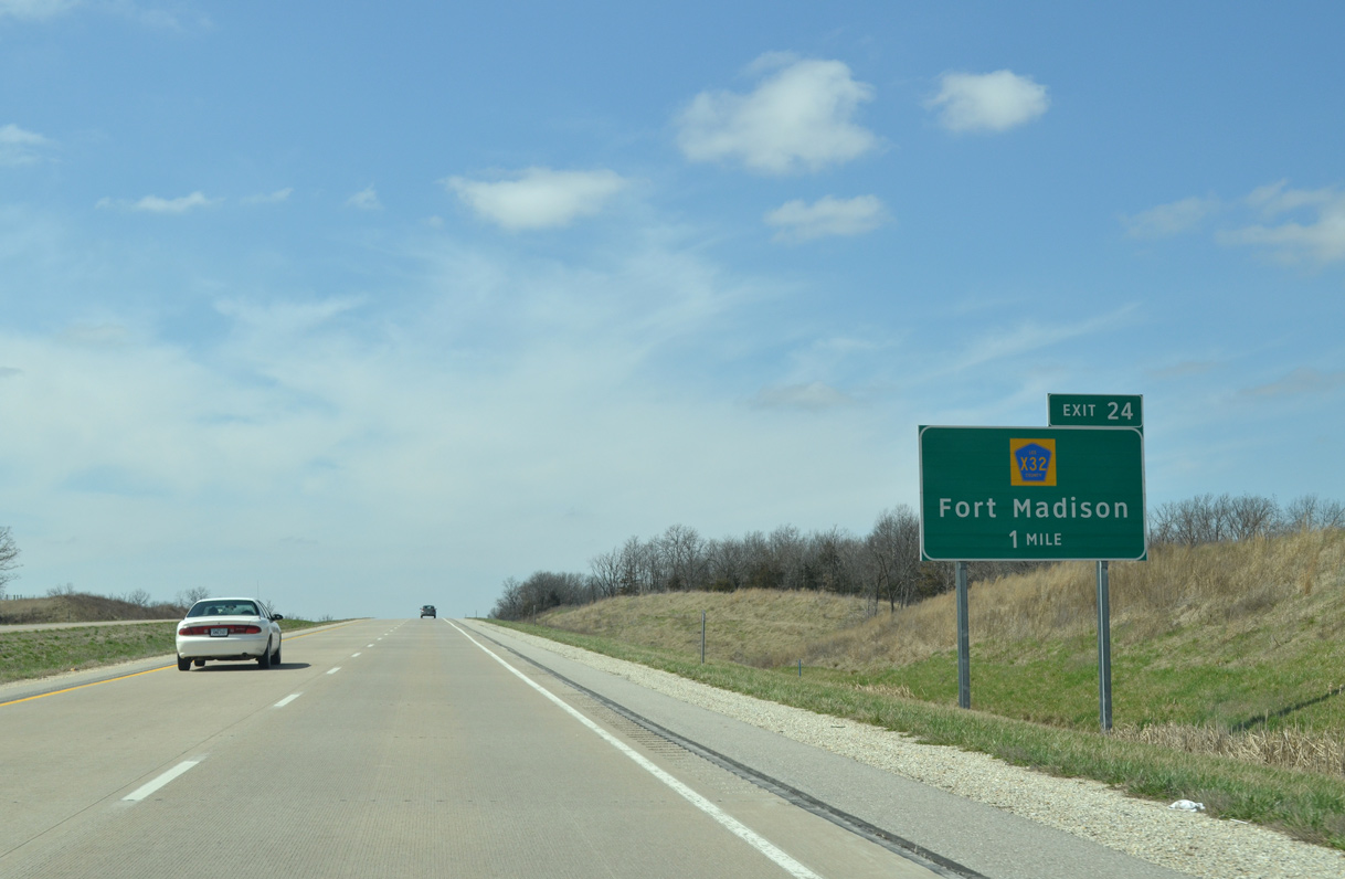
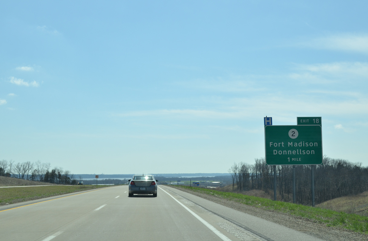
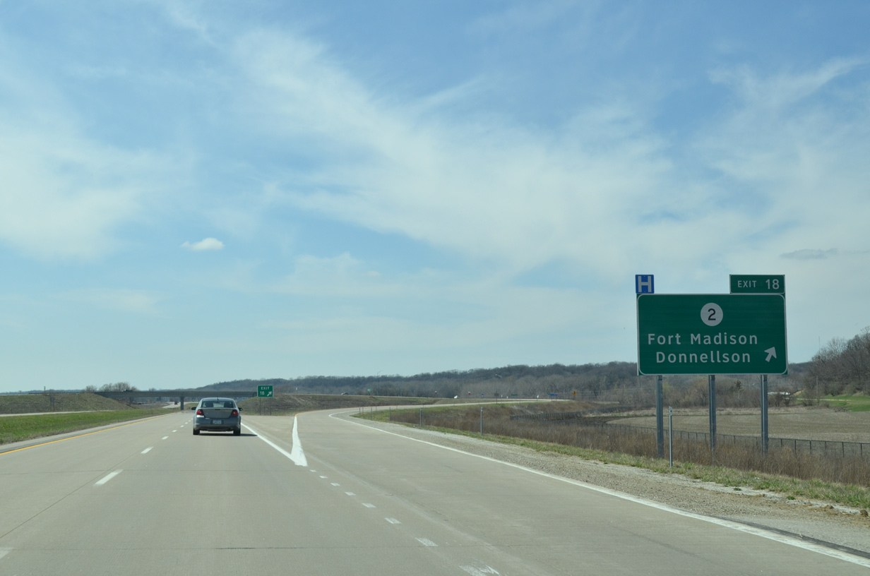
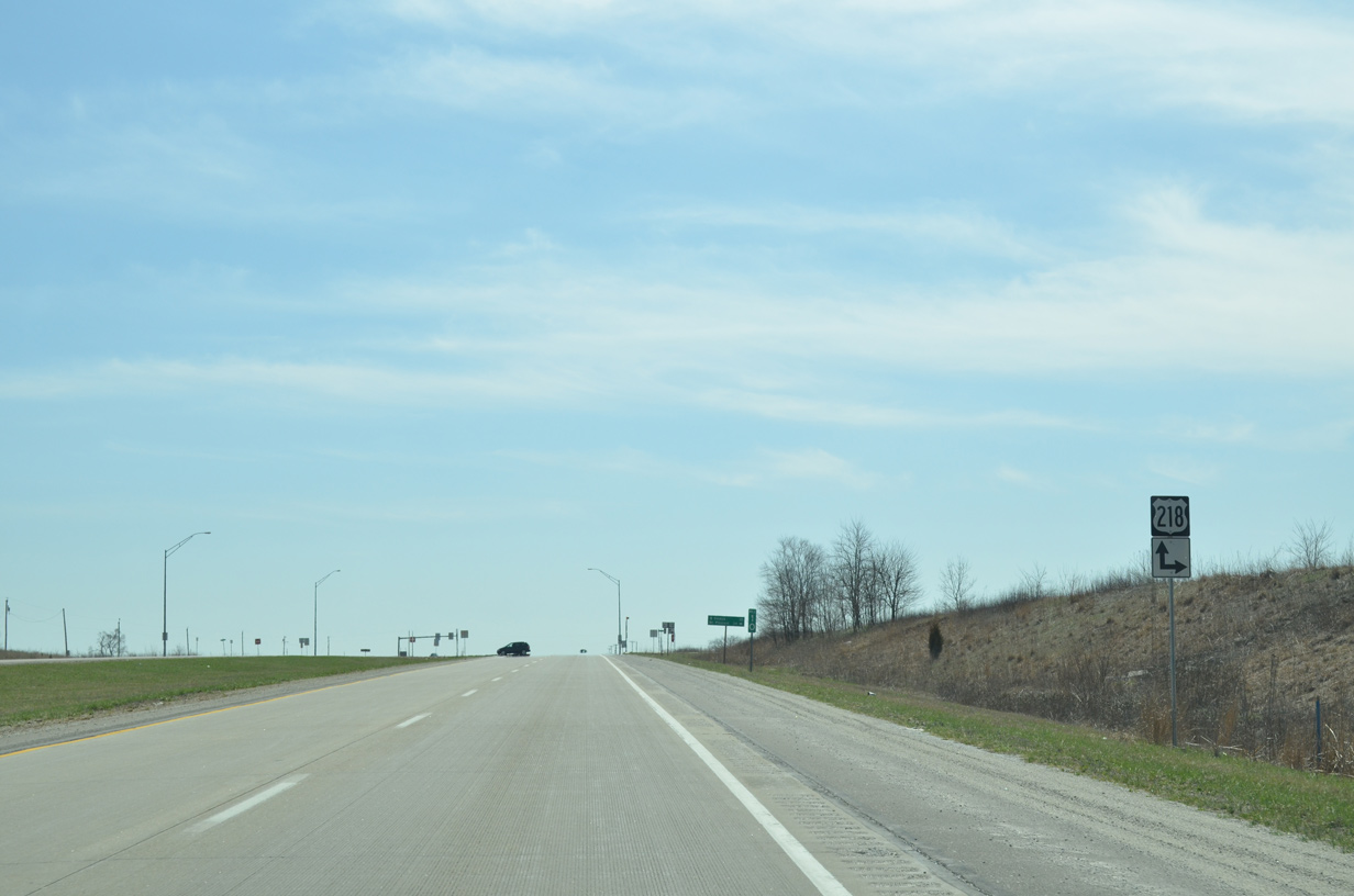
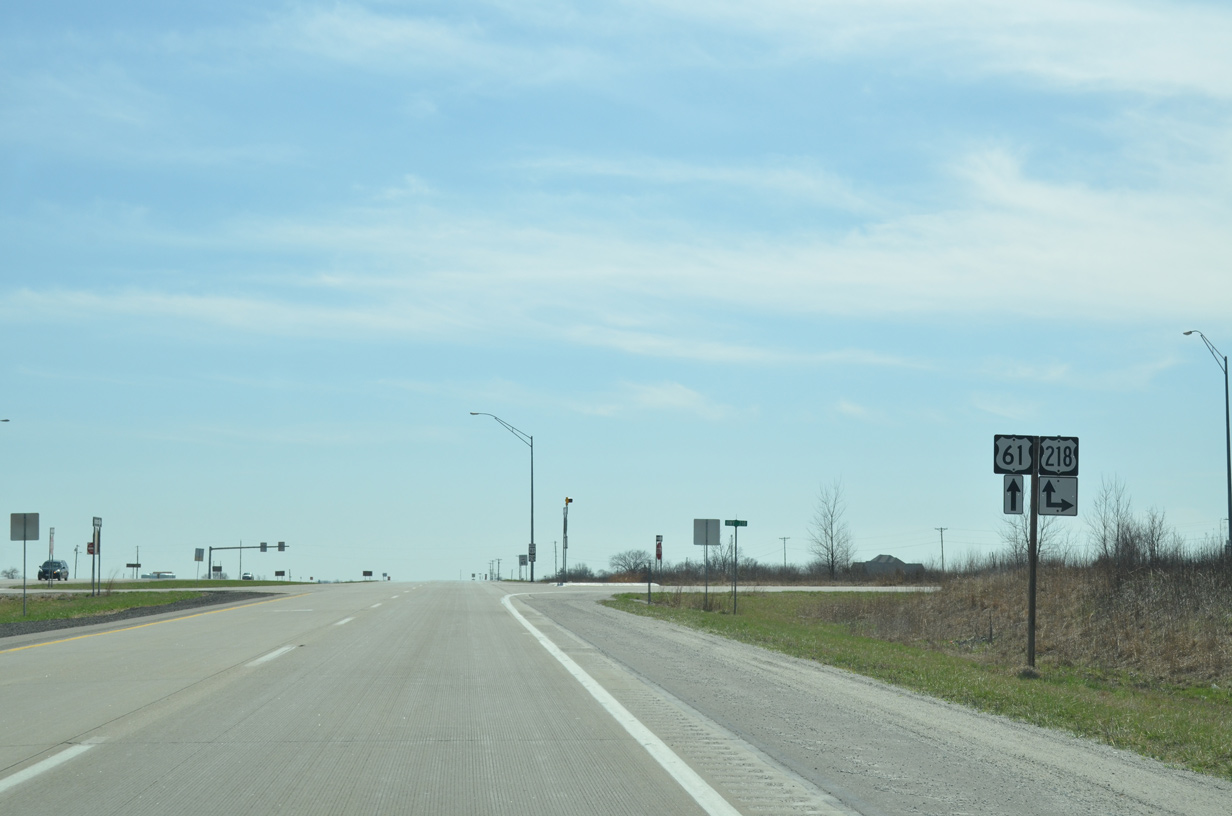
300th Street provides a cut off to U.S. 218 north from U.S. 61 south. U.S. 61/218 combine southward ahead to Keokuk.
03/25/16
03/25/16
03/25/16
03/25/16

U.S. 218 angles 9.6 miles southeast from the Avenue of the Saints corridor (Iowa 27) to merge with U.S. 61.
03/25/16
03/25/16
U.S. 218 constitutes a two lane highway north to New Boston and Charleston.
03/25/16
03/25/16
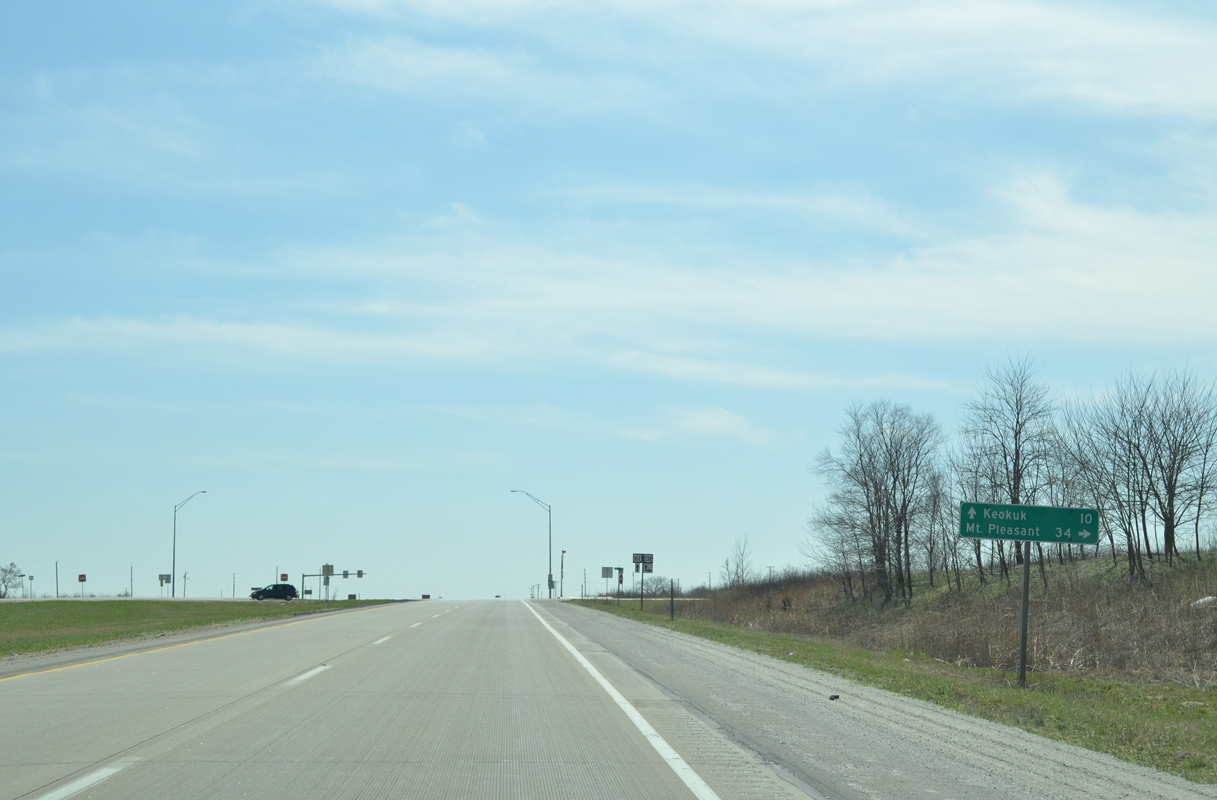
Once it joins the Avenue of the Saints (Iowa 27), U.S. 218 upgrades to an expressway leading north 34 miles to Mount Pleasant.
03/25/16
03/25/16
U.S. 61/218 overlap southward along a four lane expressway to Summitville and the city of Keokuk.
03/25/16
03/25/16
Photo Credits:
- Alex Nitzman, Bill Gatchel: 03/25/16
Connect with:
Page Updated Thursday December 05, 2019.