
U.S. 67 North - Clinton to Sabula
 North
North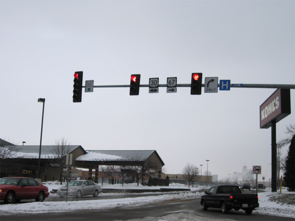
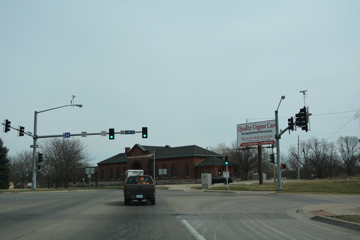
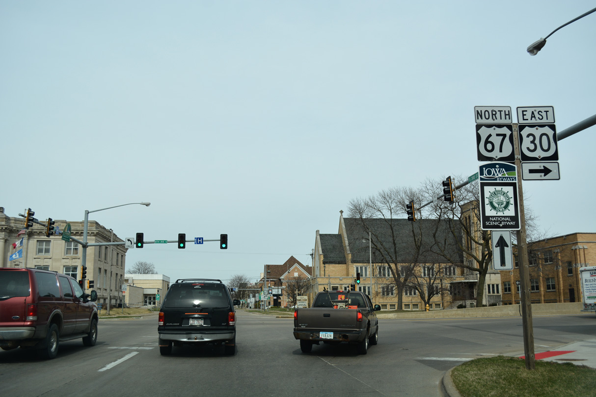
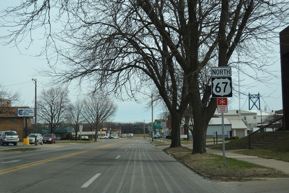
U.S. 67 turns from Washington Boulevard onto Lincoln Way to overlap with U.S. 30 east for 3.3 miles to Downtown Clinton.
12/21/09
 East North
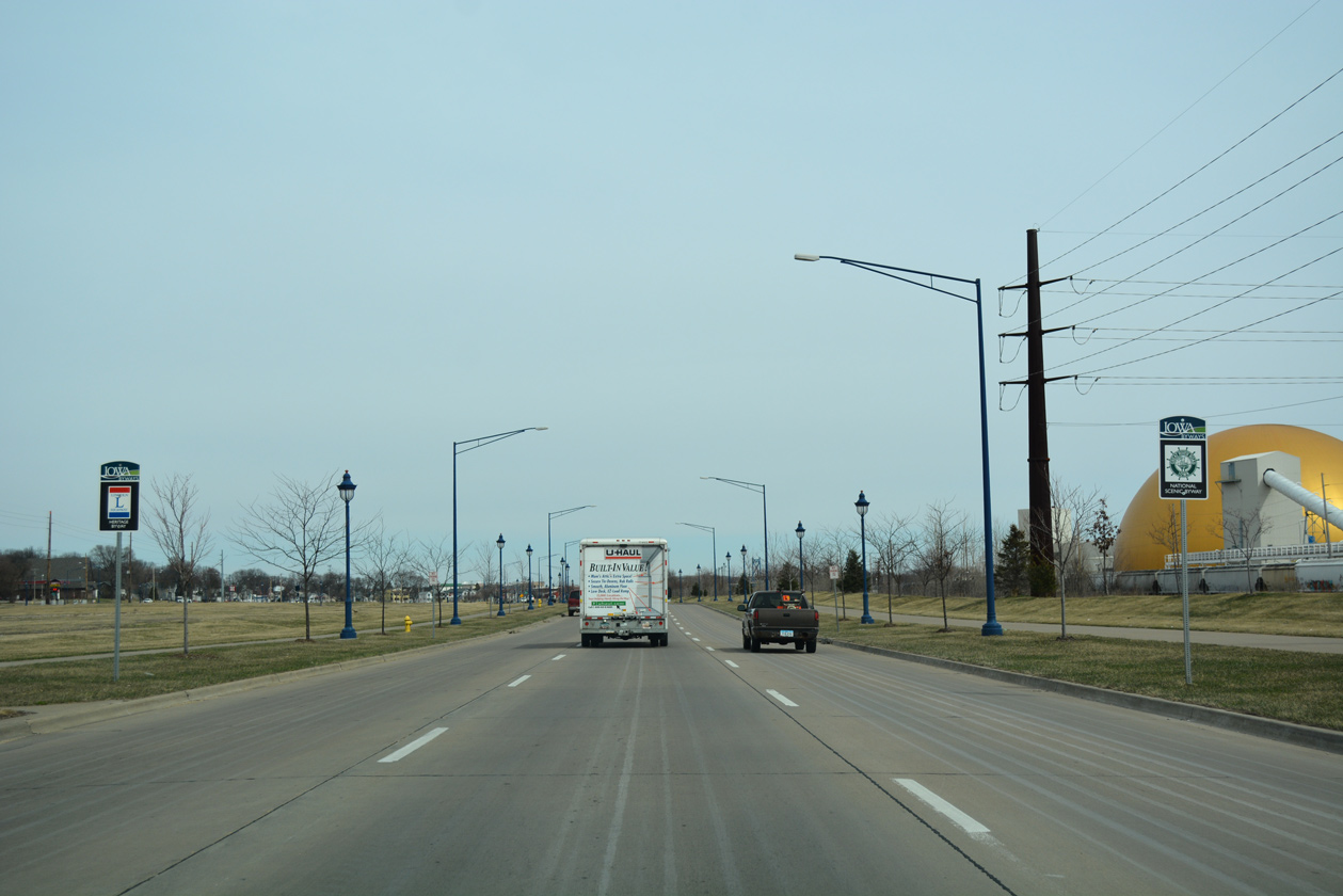
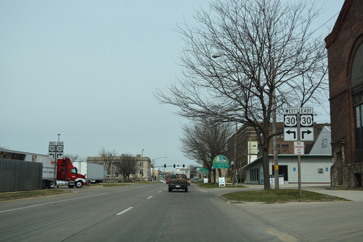
Traveling northeast along the couplet of Liberty Avenue and Lincoln Way, U.S. 30/67 through Clinton is part the Great River Road National Scenic Byway. The Mississippi River Trail runs along the east side of Liberty Avenue on this stretch.
03/12/17
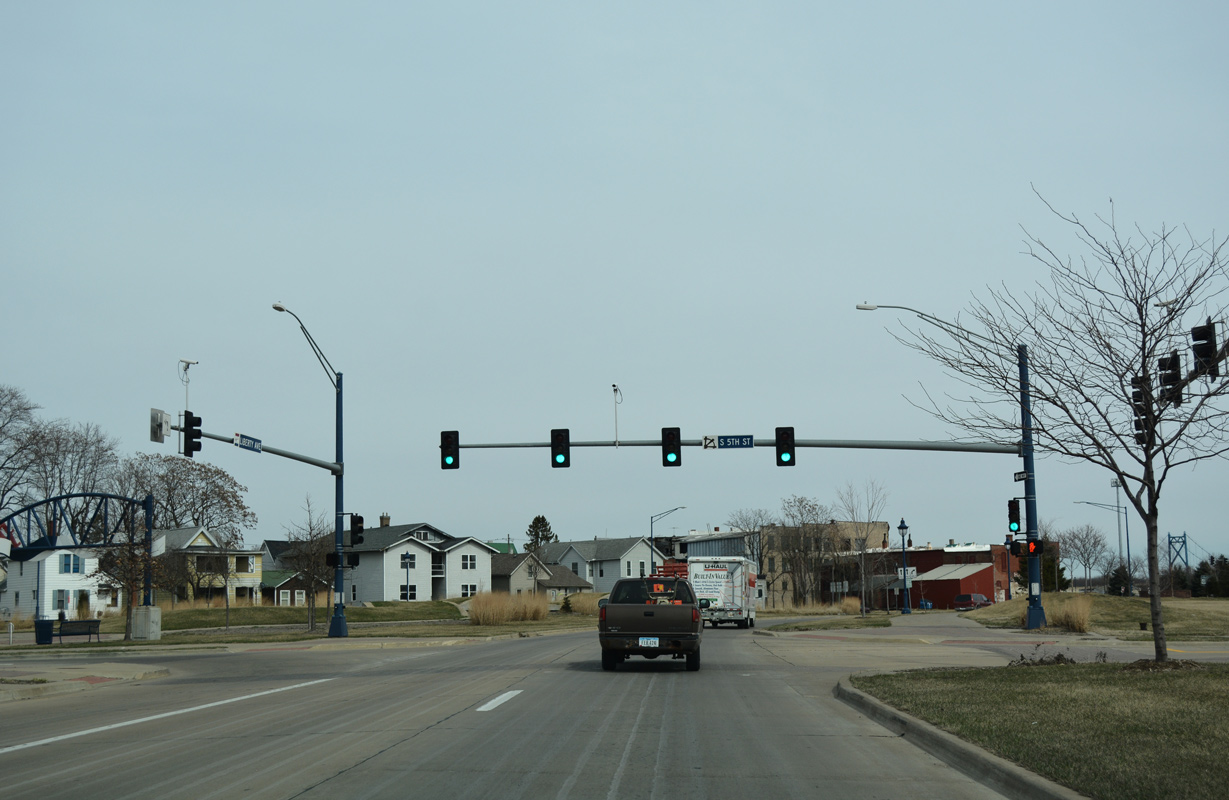
The separate directions of U.S. 30/67 on Liberty Avenue north and Lincoln Way south converge just beyond South 5th Street.
03/12/17
U.S. 30/67 partition again into a one way couplet, with northbound following 11th Avenue South and southbound taking South 4th Street from 8th Avenue South.
03/12/17
The last set of confirming markers for U.S. 30/67 north stand along the curve from 11th Avenue South onto South 3rd Street ahead of Downtown Clinton.
03/12/17
Approaching the north split of U.S. 30/67 on South 3rd Street. U.S. 30 westbound uses 8th Avenue South one block to connect with U.S. 67 southbound on South 4th Street.
03/12/17
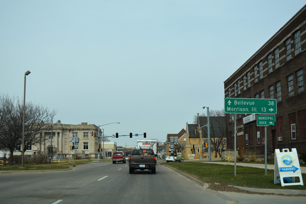
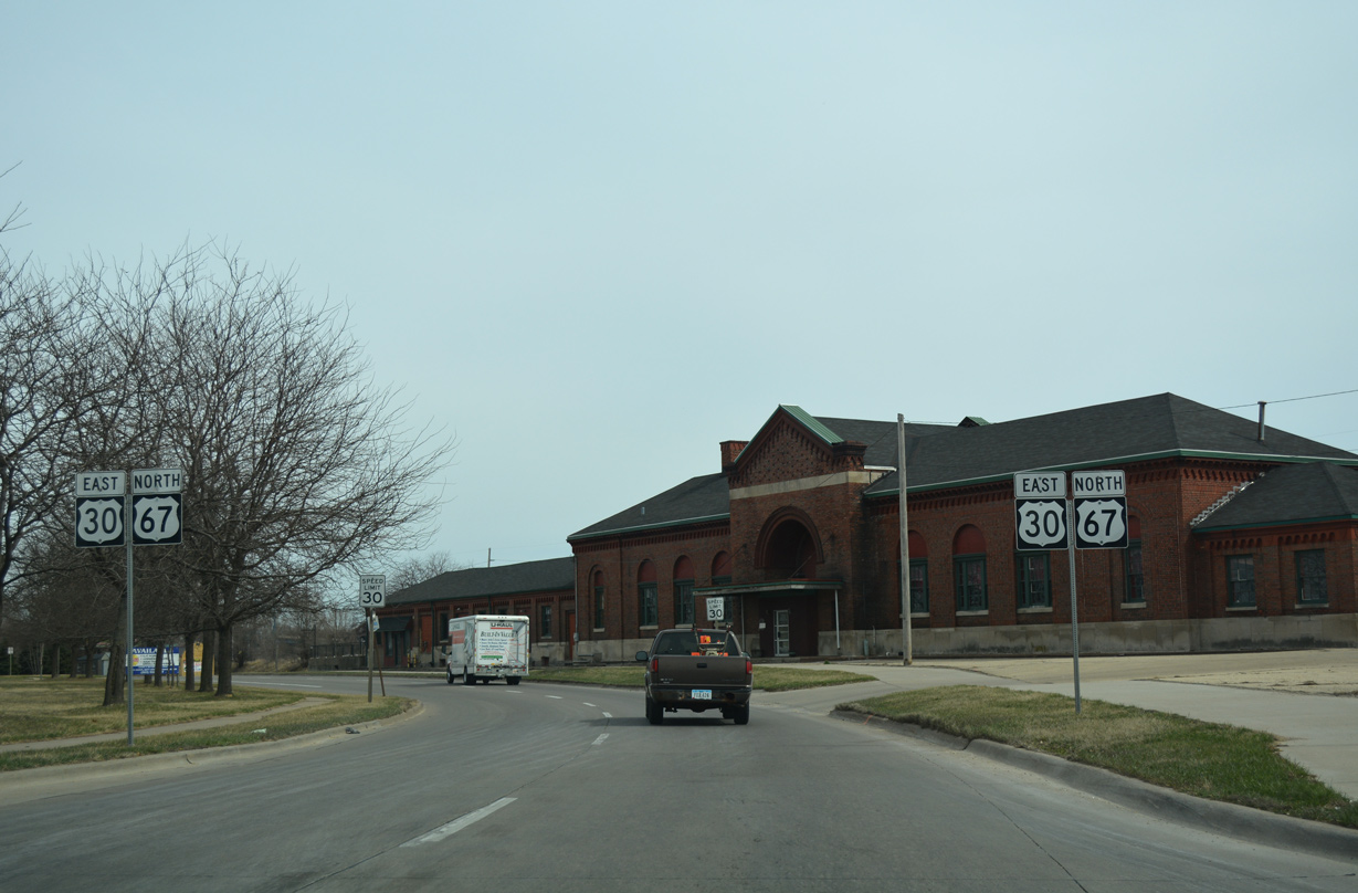
Spanning the Gateway Bridge across the Mississippi River, U.S. 30 ventures 13 miles east to Morrison, Illinois. Bellevue lies 38 miles to the north along U.S. 52. Historically U.S. 67 combines with U.S. 52 north to the Jackson County city.
03/12/17
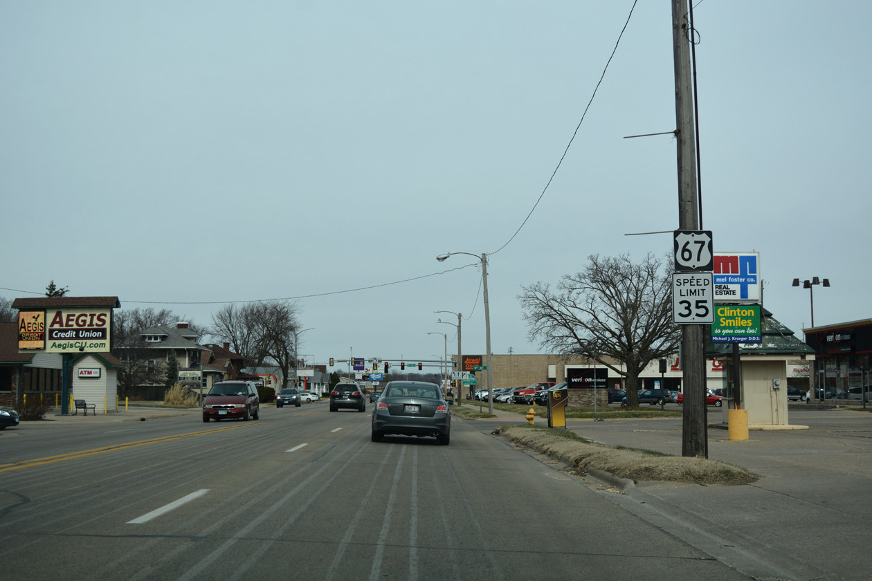
The Gateway Bridge provides one of two links to Fulton, Illinois from Clinton Iowa. U.S. 67 enters Downtown just north of U.S. 30 and continues 1.9 miles to Iowa 136 at the Mark Morris Memorial Bridge, the other Mississippi River crossing.
03/12/17
North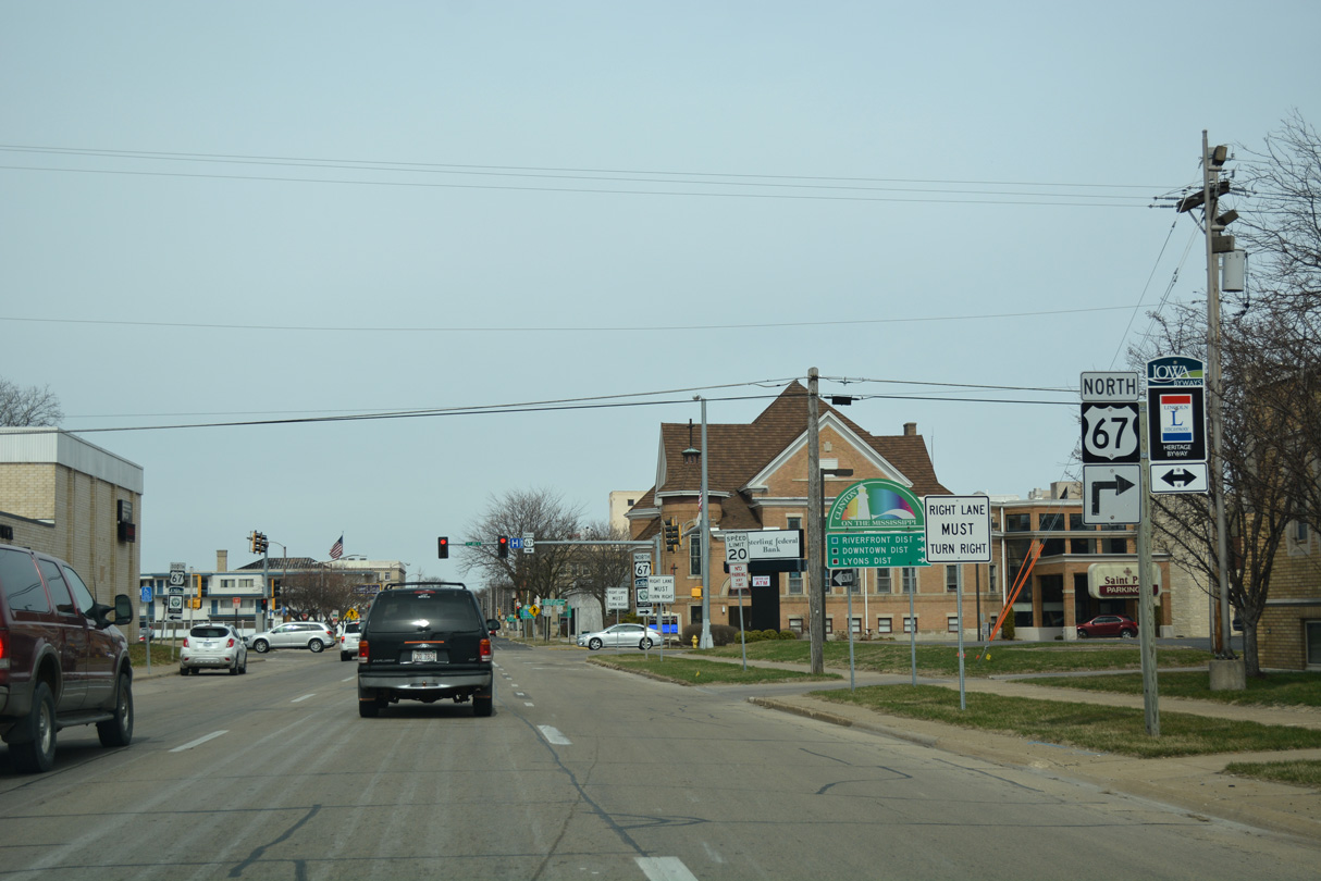
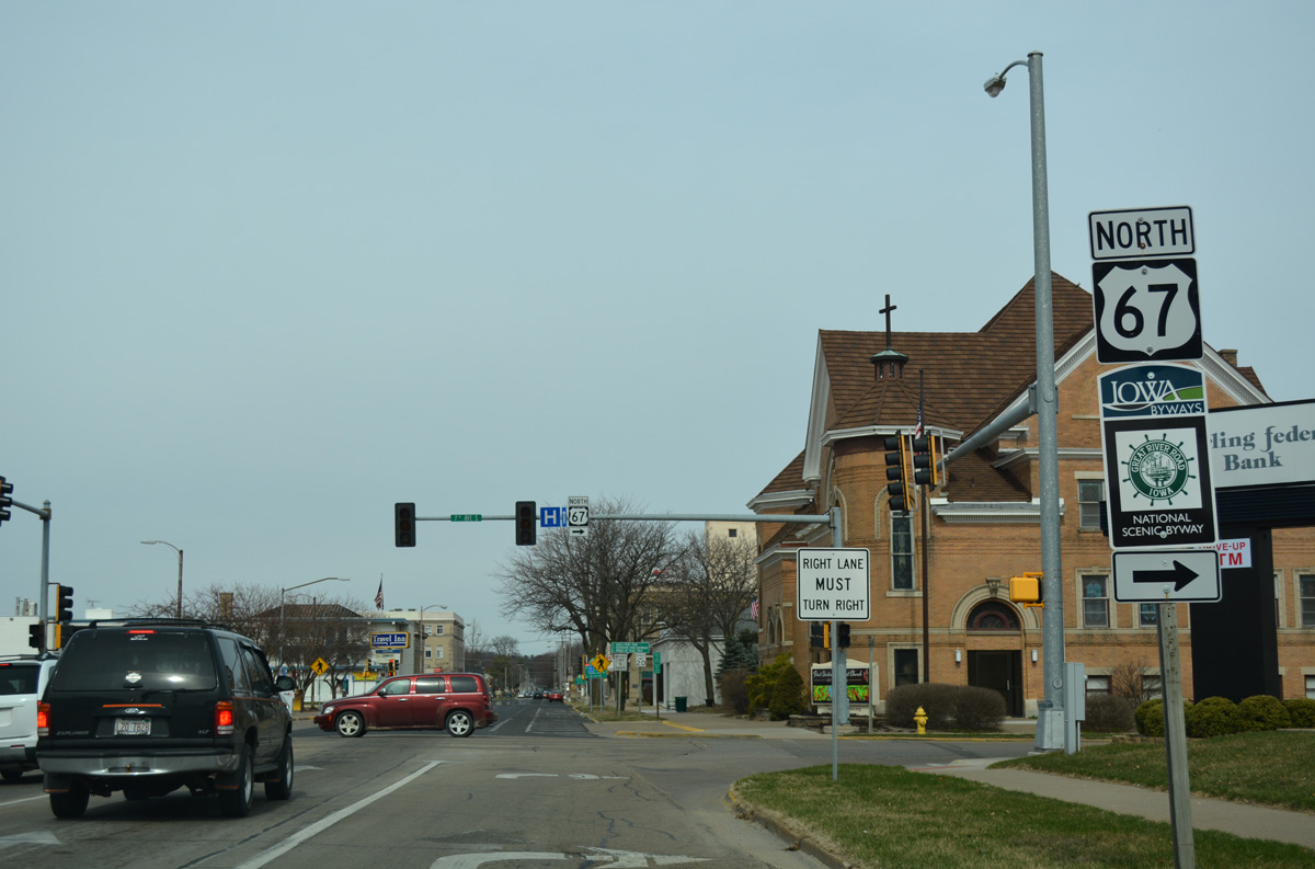
South 3rd Street leads U.S. 67 one block north from the separation with U.S. 30 to 7th Avenue South.
03/12/17
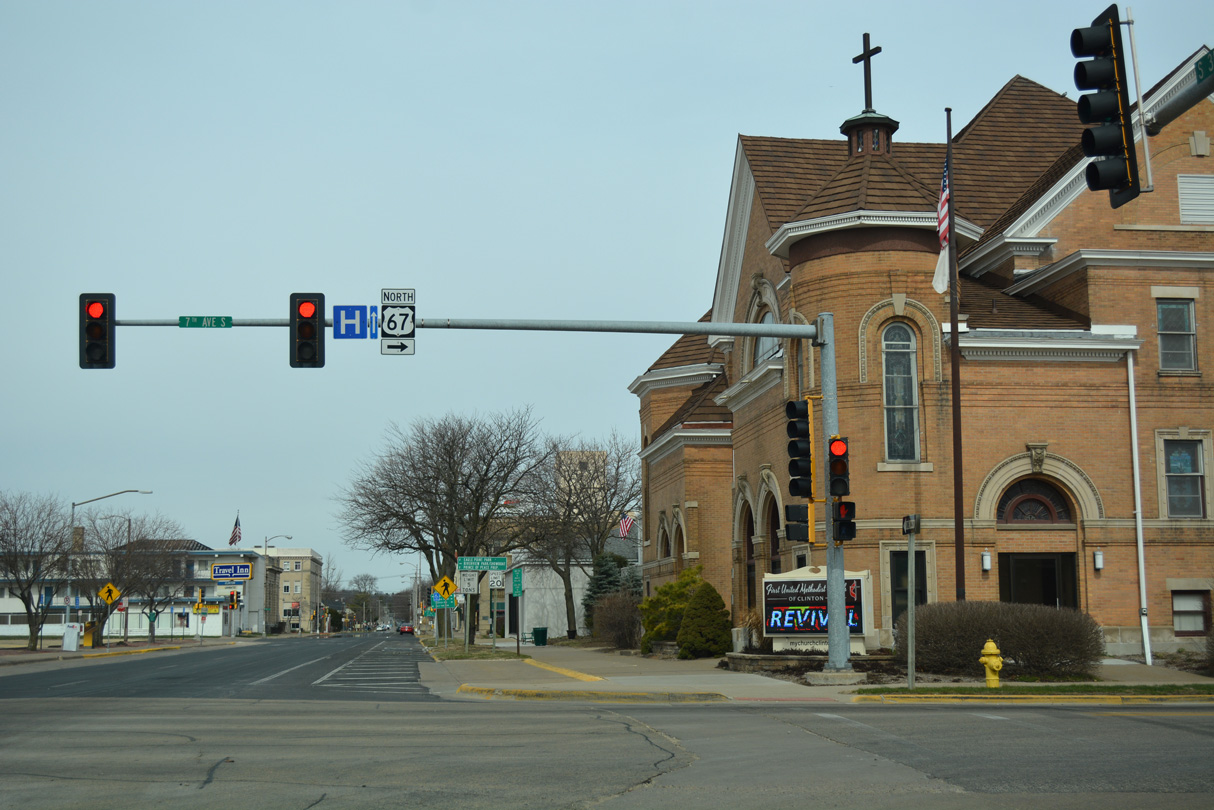
U.S. 67 dog legs east one block on 7th Avenue South to South 2nd Street north for the Riverfront, Downtown and Lyons Districts of the city.
03/12/17
3rd Street forms a one way couplet with 4th Street north from U.S. 67 (7th Avenue South) to 17th Avenue North. Two-way traffic ensues from there to the north split of U.S. 67 and Iowa 136 on Main Avenue.
03/12/17
Confirming marker posted for U.S. 67 north after the turn from South 3rd Street by Clinton City Hall.
03/12/17
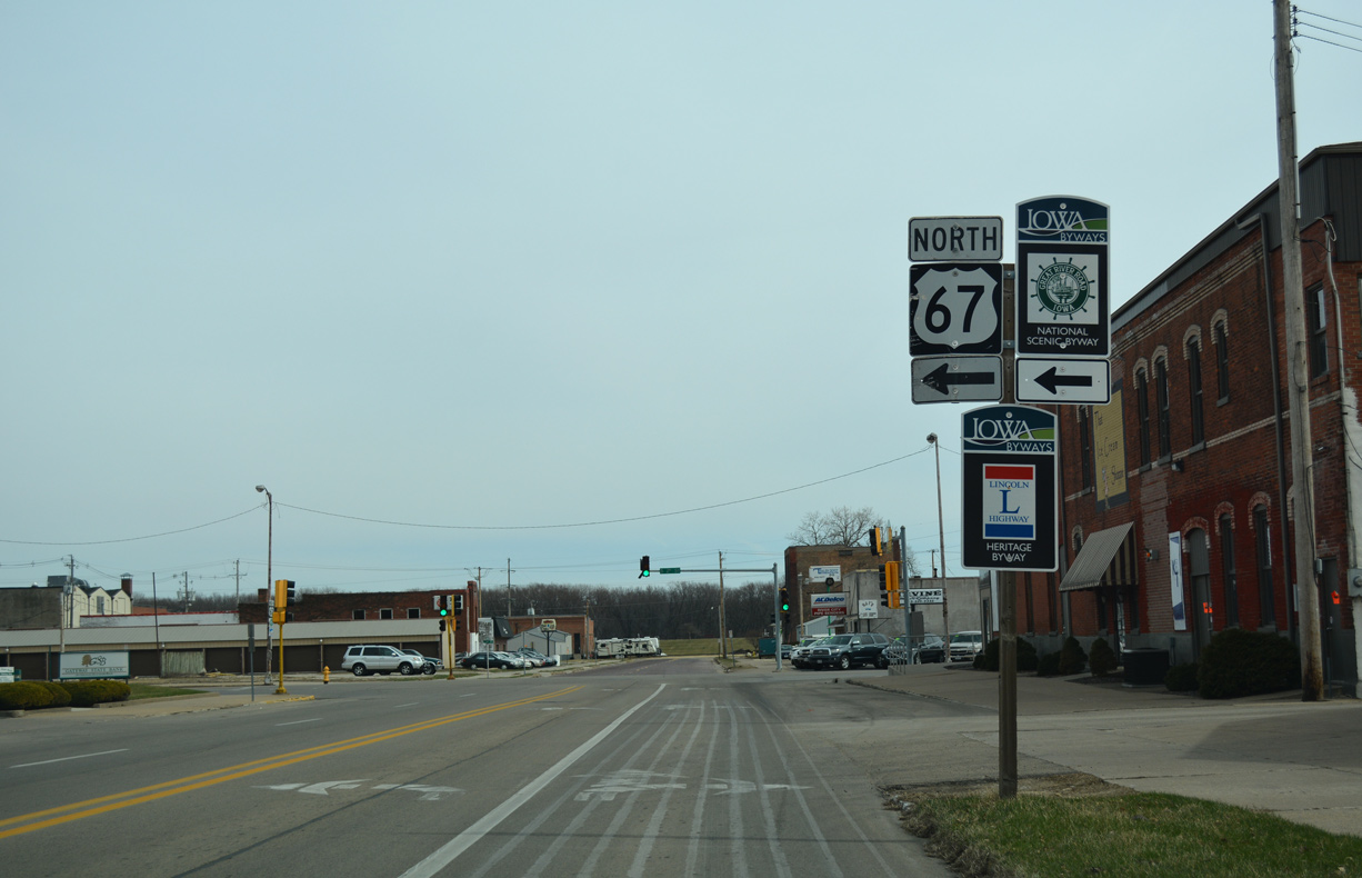
Approaching South 2nd Street on U.S. 67 (7th Avenue South) north. This stretch of U.S. 67 also doubles as the Lincoln Highway Heritage Byway.
03/12/17
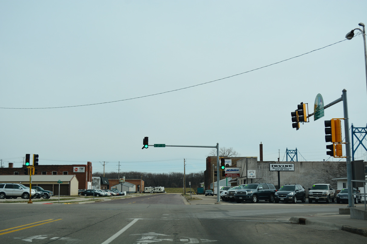
2nd Street constitutes a four lane boulevard taking U.S. 67 north through the heart of Downtown Clinton.
03/12/17
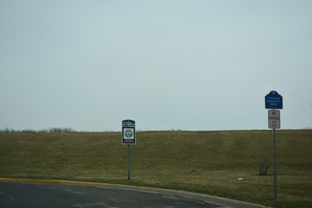
7th Avenue South extends east to Veterans Memorial Drive (1st Street) north and the Clinton riverfront.
03/12/17
Heading away from Downtown Clinton along U.S. 67 (North 2nd Street) north at 12th Avenue North.
03/12/17
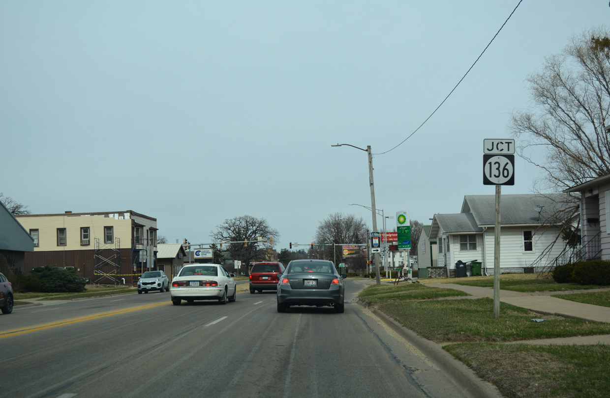
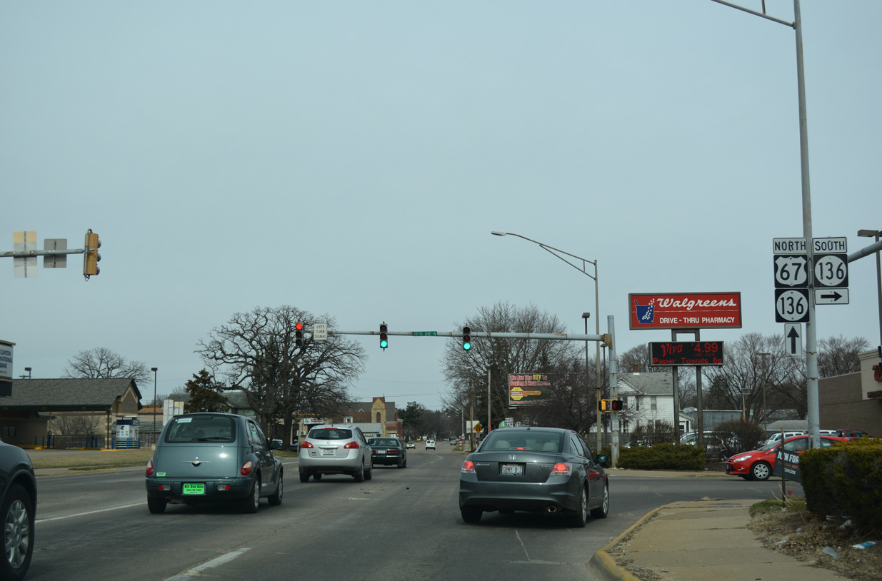
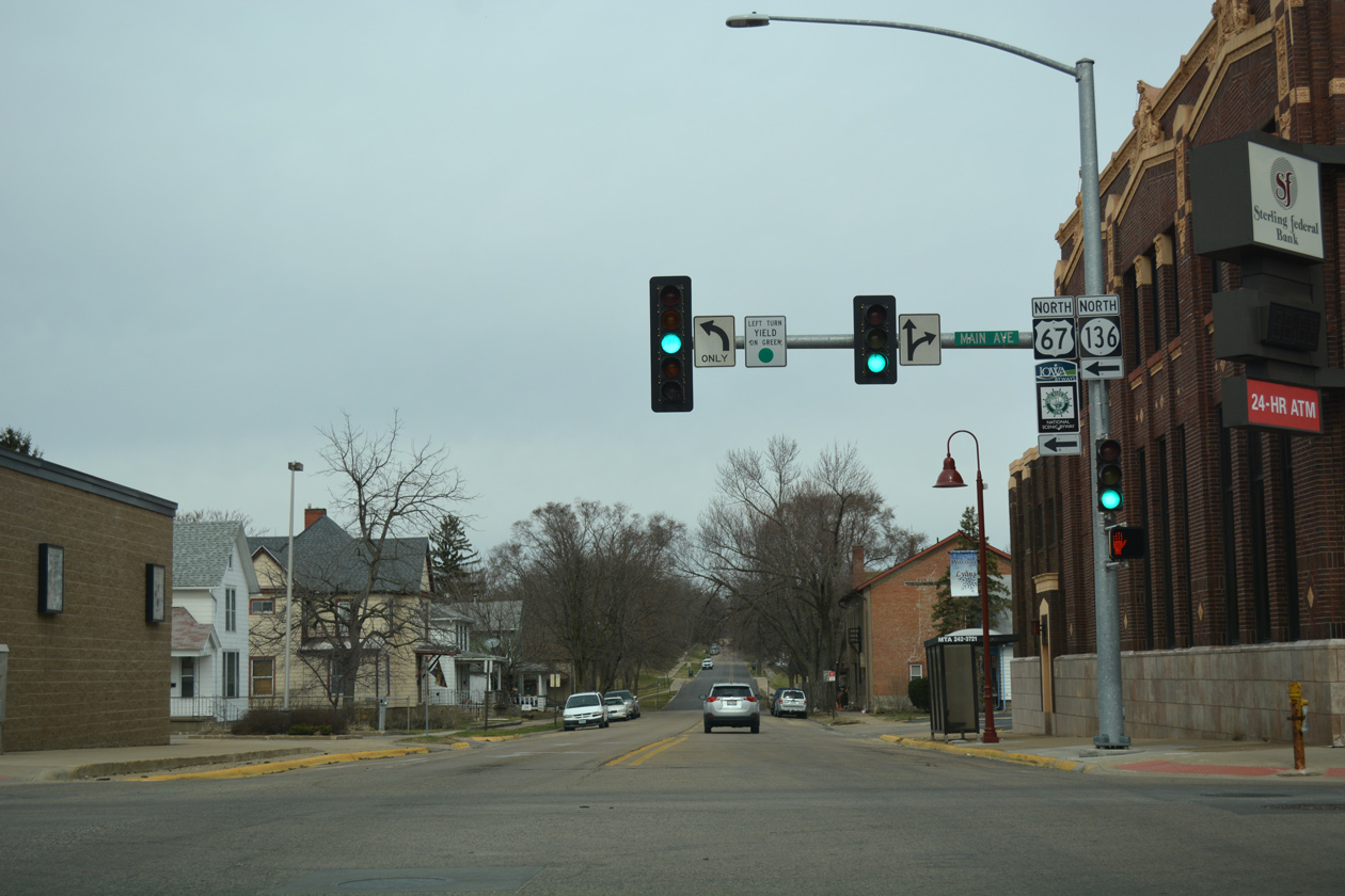
Iowa 136, a multi state route east to Fulton, Illinois and west to Delmar, combines with U.S. 67 at the succeeding traffic light from the Mark Morris Memorial Bridge.
03/12/17
19th Avenue North leads Iowa 136 east to the Mark Morris Memorial Bridge and 14th Avenue south of Downtown Fulton. Illinois 136 extends 3.2 miles from the state line to U.S. 30.
03/12/17
 North
North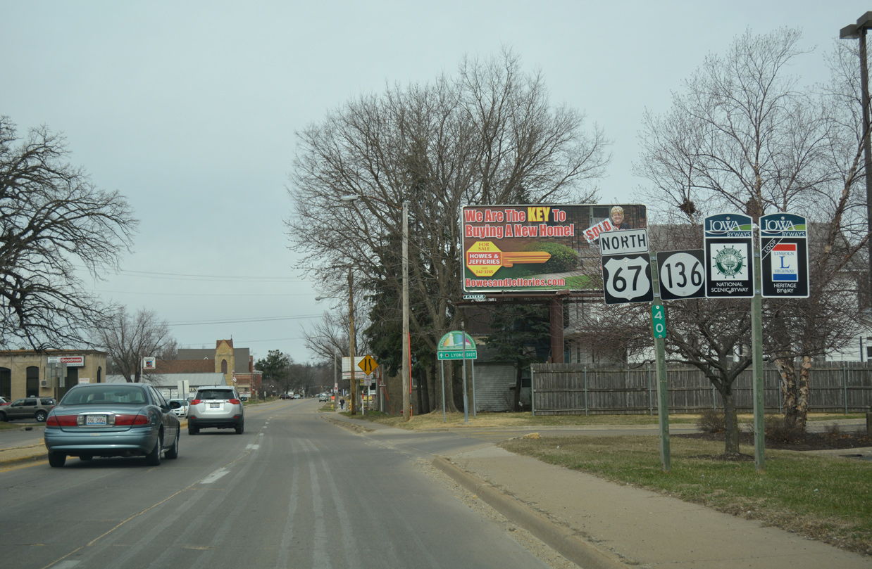
U.S. 67/Iowa 136 combine ahead of a lane drop along N 2nd Street at 20th Avenue N in the Lyons District of Clinton.
03/12/17
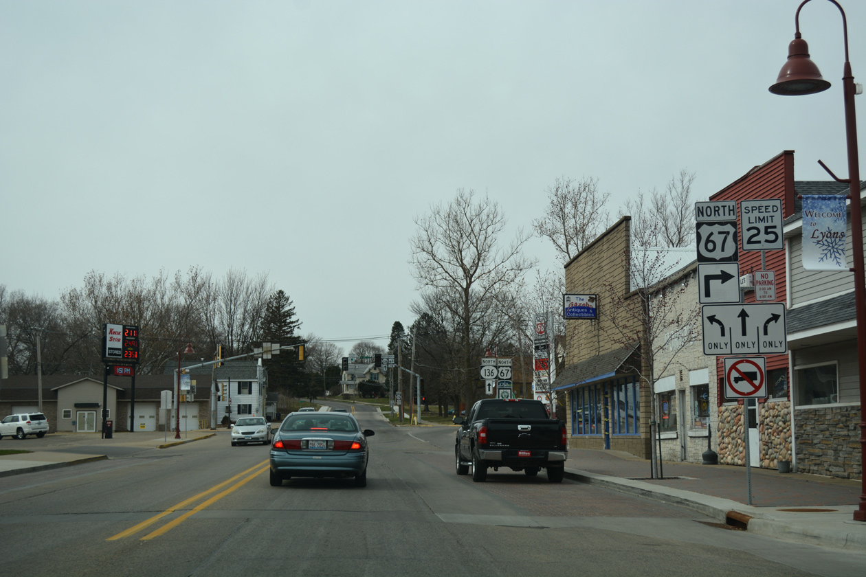
2nd Street extends north into the Lyons District residential street grid as U.S. 67 / Iowa 136 shift west three blocks to North 3rd Street.
03/12/17
U.S. 67/Iowa 136 north reassurance markers posted between N 2nd Street and Pershing Boulevard.
03/12/17
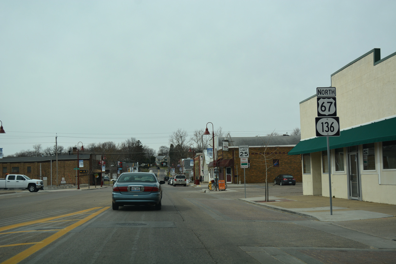
Iowa 136 remains along Main Avenue west beyond the forthcoming split with U.S. 67 north at 3rd Street.
03/12/17
An array of Eagle Flatback signals operate at Main Avenue and North 2nd Street in Clinton. Iowa 136 ventures northwest from the city 13 miles to Goose Lake and 18 miles to Charlotte.
03/12/17
North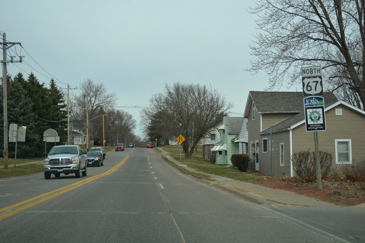
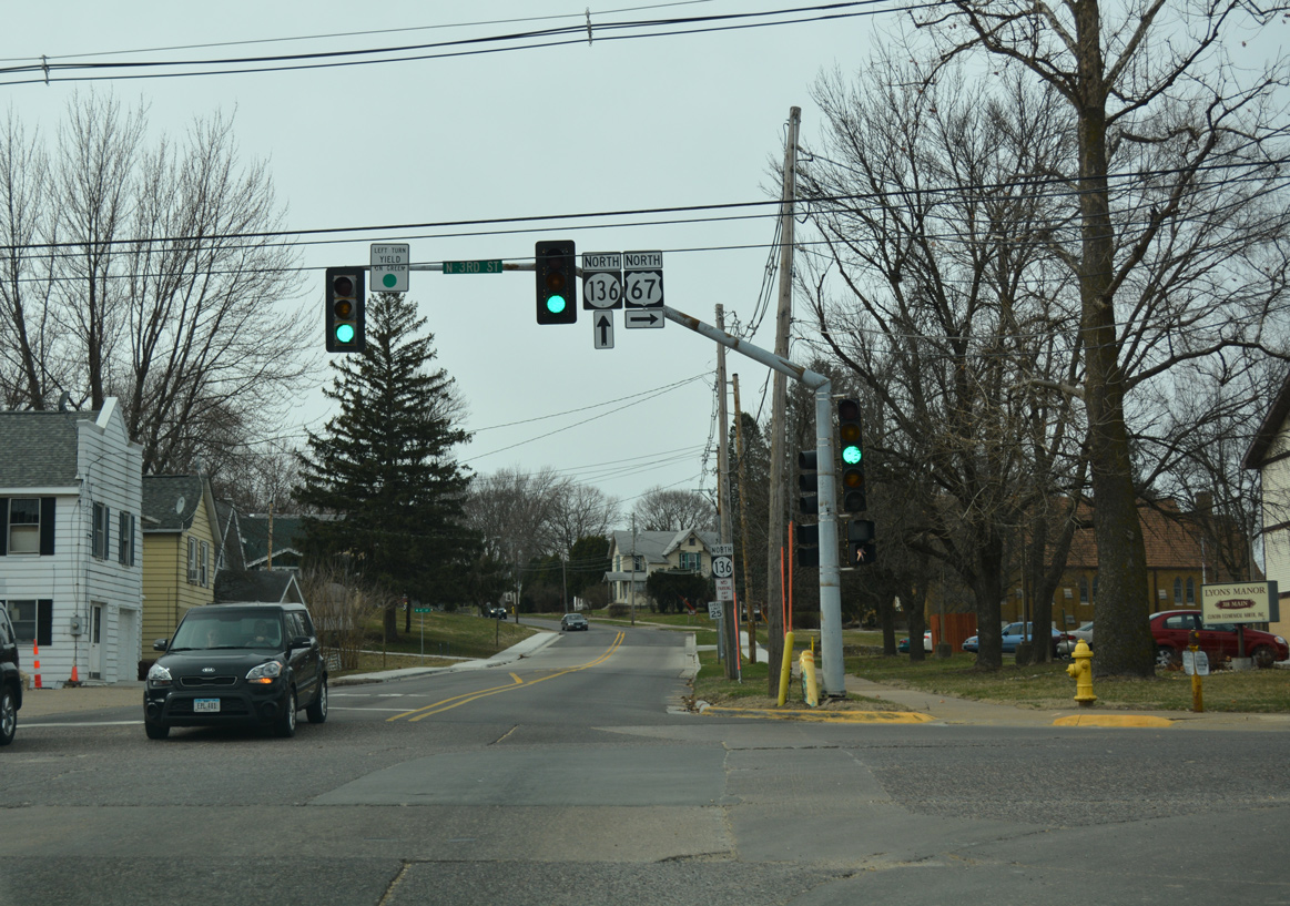
The four lane section of North 3rd Street ends as U.S. 67 accompanies the route north from Main Avenue and Iowa 136.
03/12/17
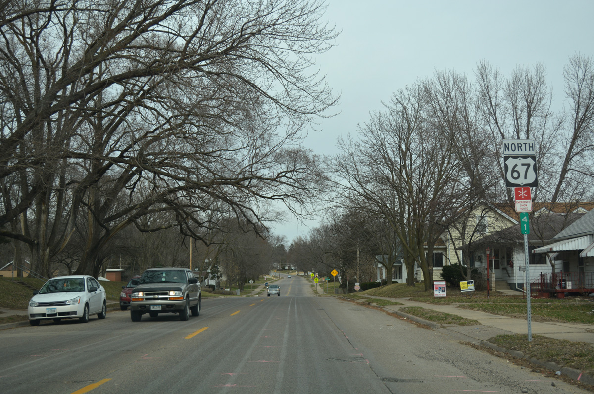
Milepost 41 for U.S. 67 north stands at 3rd Street and 28th Avenue North in the Lyons District.
03/12/17
U.S. 67 (North 3rd Street) at 31st Avenue North in Clinton.
03/12/17
Another shield assembly for U.S. 67 appears along North 3rd Street in Clinton at 35th Avenue North.
03/12/17

U.S. 67 curves westward by Eagle Point Park as the original alignment of 3rd Street branches north.
03/12/17

Stockwell Lane heads north from Iowa 136 (Main Avenue) east to U.S. 67 and Eagle Point Park ahead of this reassurance marker.
03/12/17
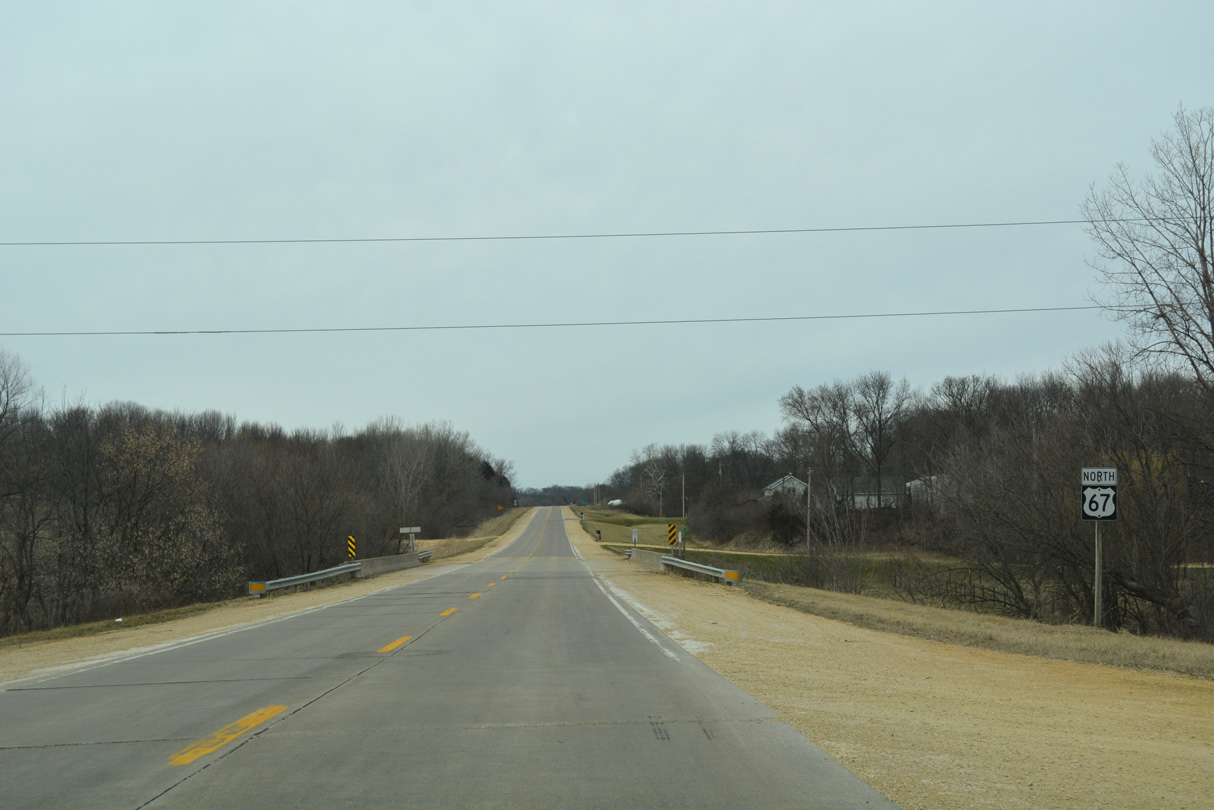
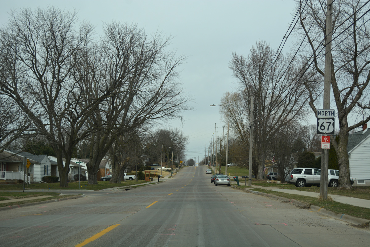
Still within the Clinton city limits, U.S. 67 north crosses Deer Creek.
03/12/17
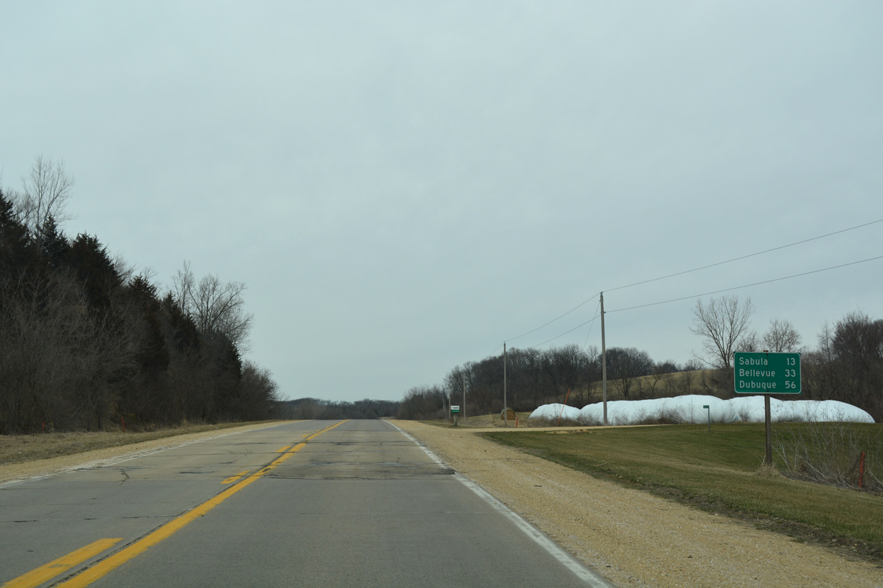
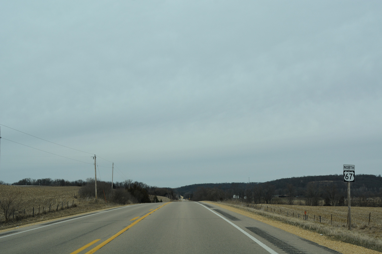
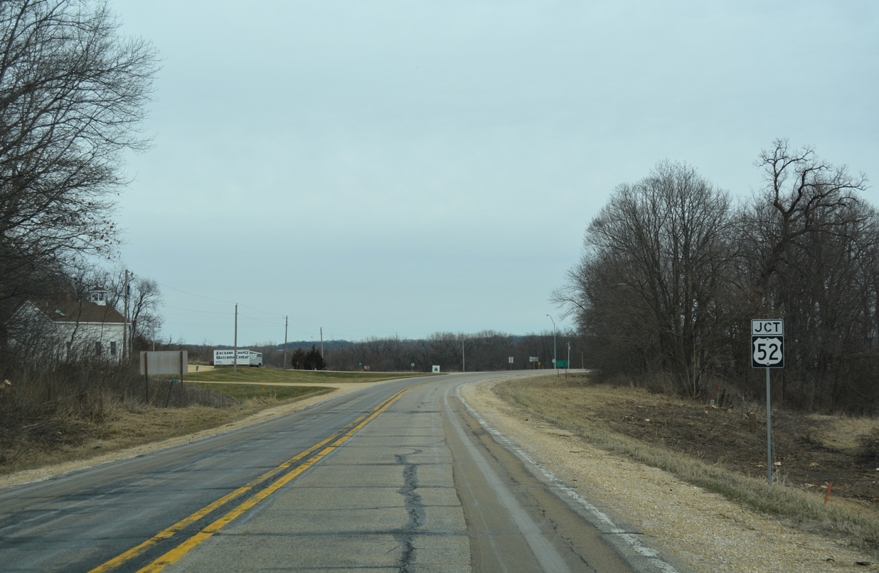
Posted just beyond the Clinton city limits, a distance sign references Sabula (13 miles) just beyond the north end of U.S. 67, and Bellevue and Dubuque, destinations formerly along U.S. 67 when it overlapped with U.S. 52 north.
03/12/17

Great River Road National Scenic Byway trailblazer north of Deer Creek Road on U.S. 67.
03/12/17
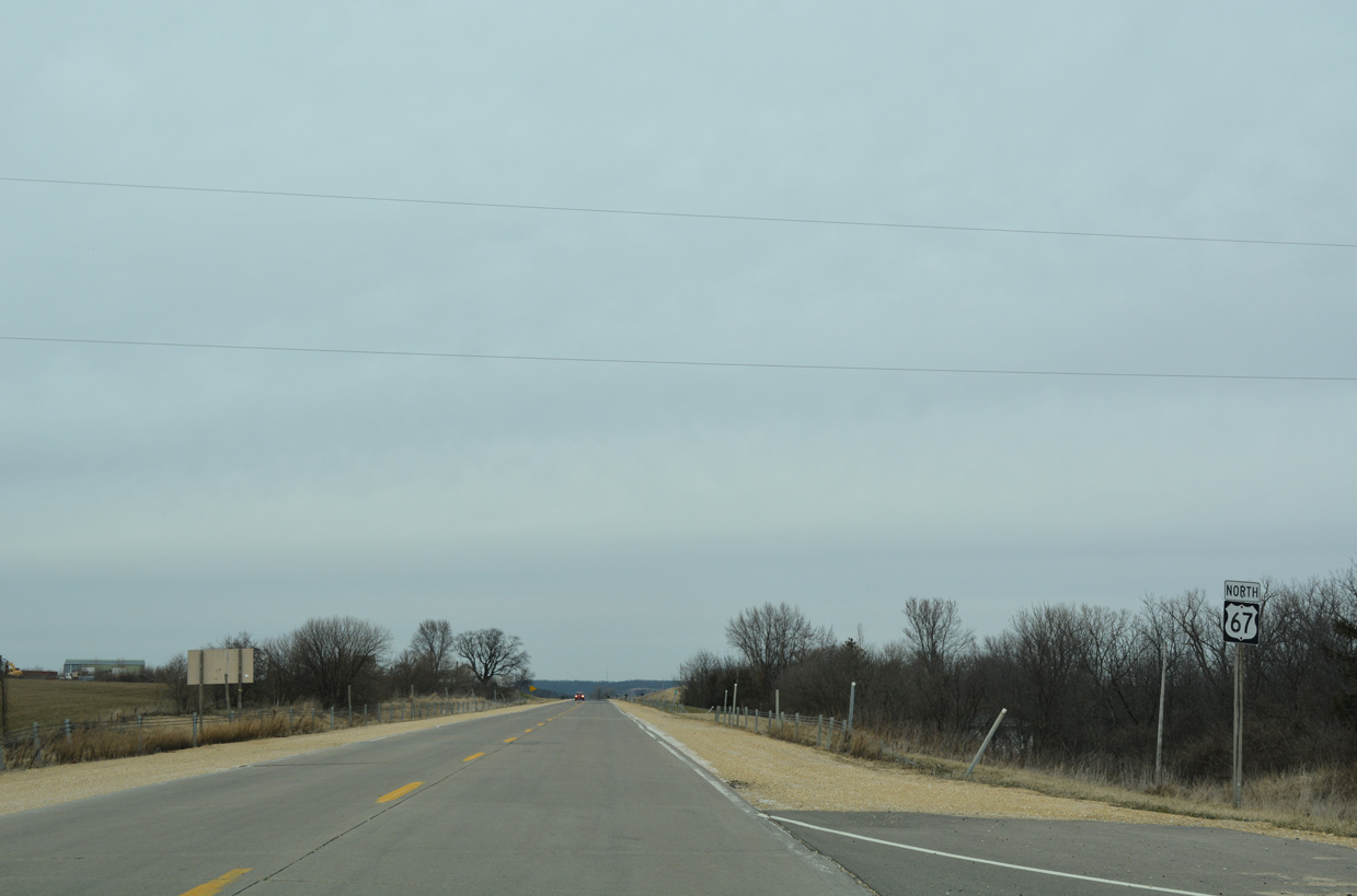
180th Street east ends at U.S. 67 ahead of this northbound shield.
03/12/17
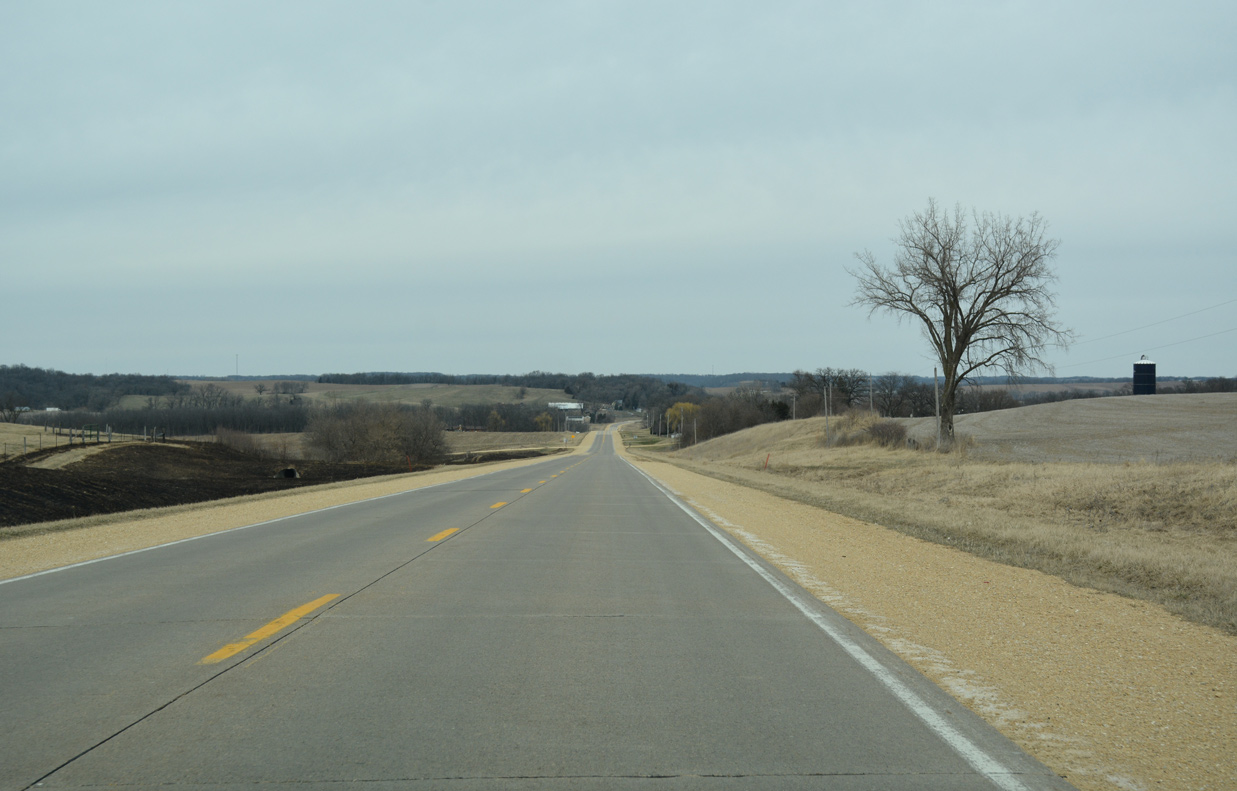
The two lane concrete roadway lowers into a broad agricultural valley to 170th Street.
03/12/17
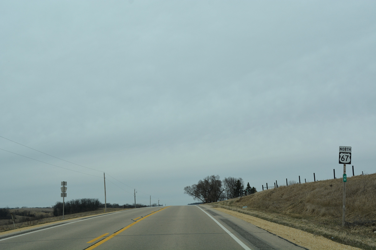
Northbound U.S. 67 at milepost 47, past both Silver Creek and 149th Street.
03/12/17
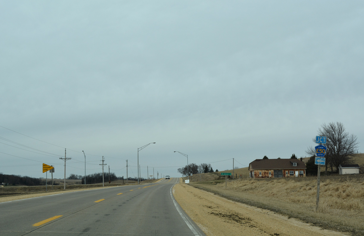
U.S. 67 intersects the east end of County Road E50 (140th Street) at the settlement of Almont.
03/12/17
The rural city of Andover lies three miles west of U.S. 67 along CR Z50 (432nd Avenue) north of CR E50 (140th Street).
03/12/17
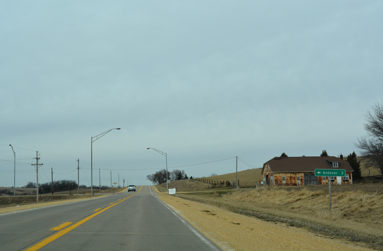
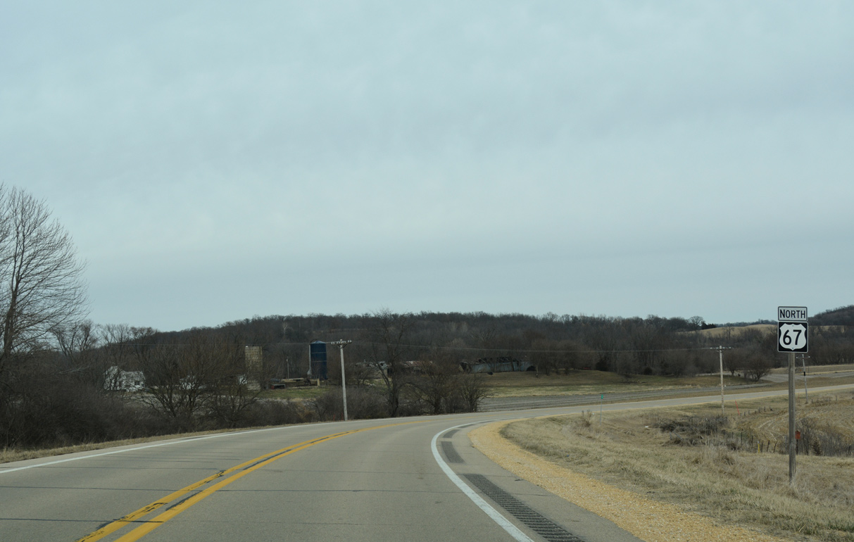
Continuing north from Almont on U.S. 67.
03/12/17
135th Street stems east from U.S. 67 to the DME Railroad siding of Elk River Junction ahead of this shield marker.
03/12/17
Shifting east from 460th Avenue, U.S. 67 navigates along a broad S-curve to cross the Elk River.
03/12/17
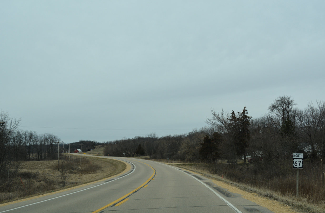
Advancing north from 110th Street on U.S. 67 in Elk River township.
03/12/17
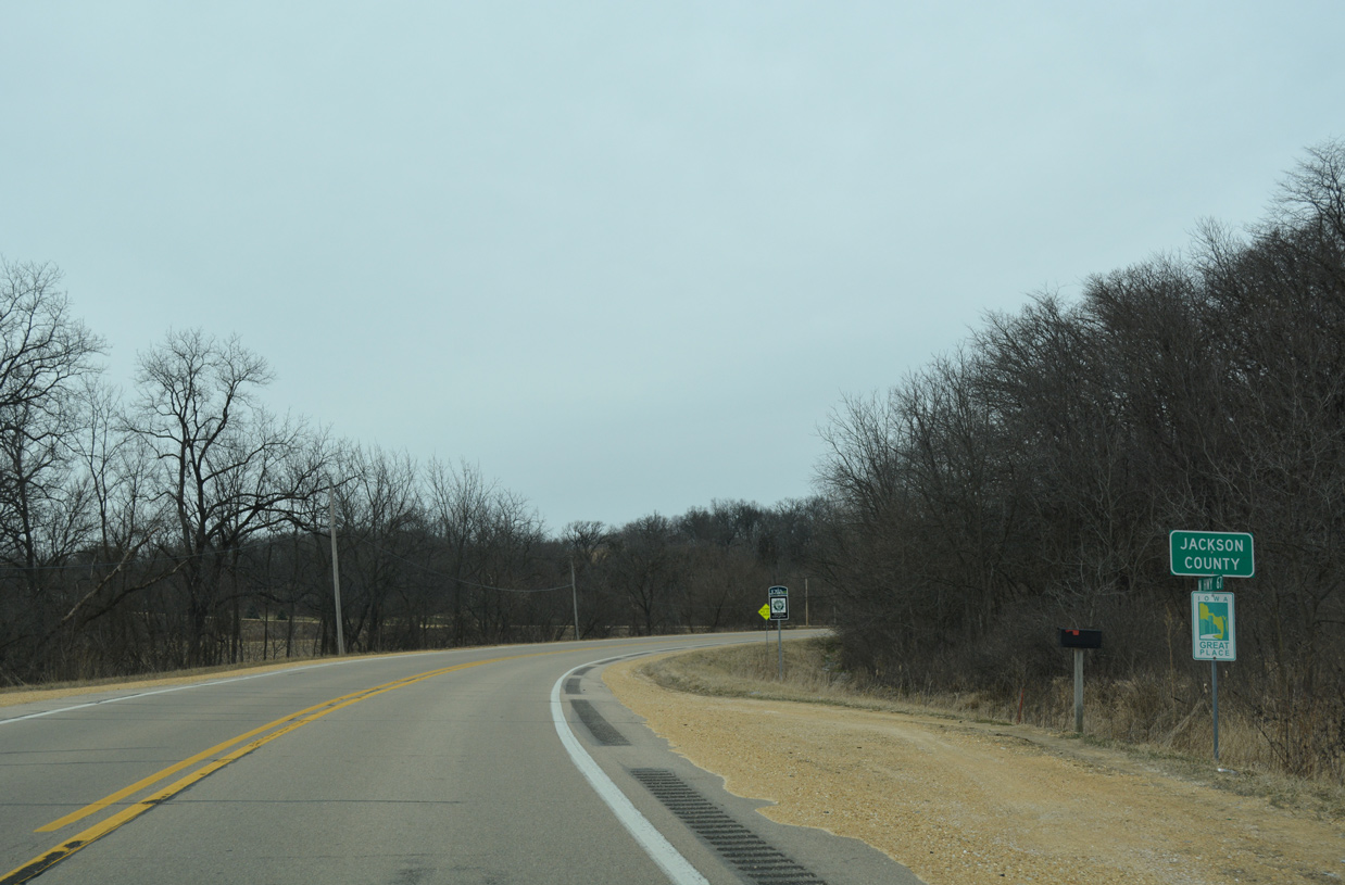
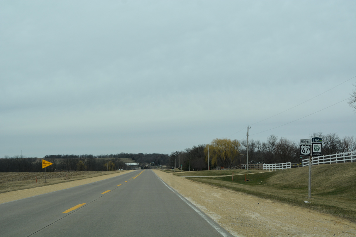
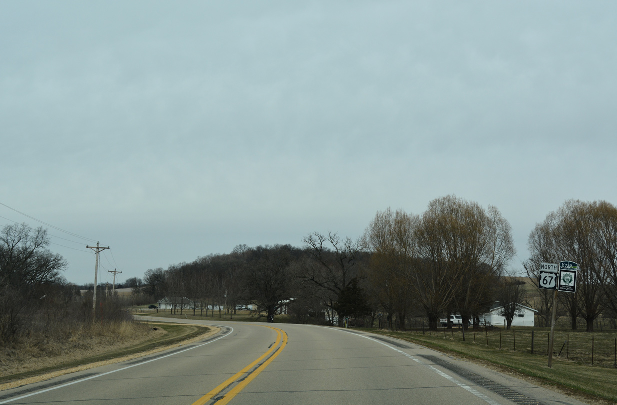
Angling northwest, U.S. 67 crosses the Jackson County line west of Big Cook Island on the Mississippi River.
03/12/17

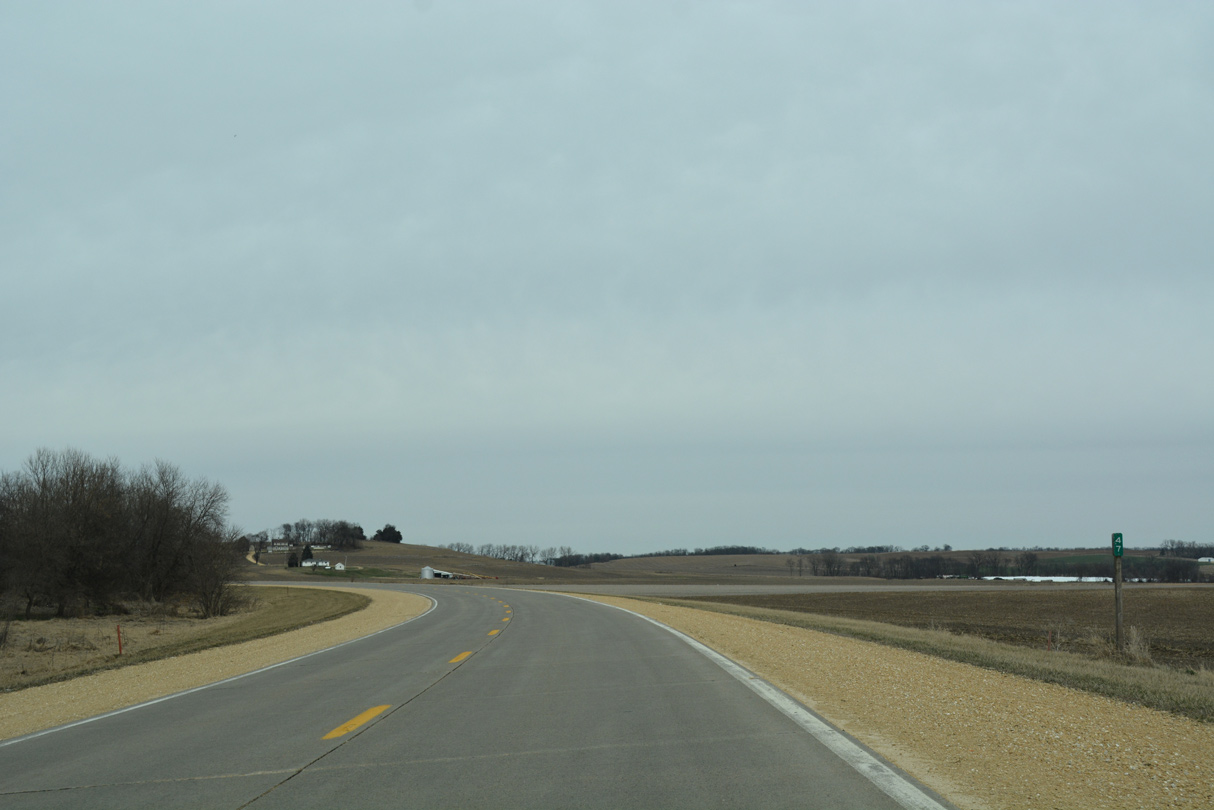
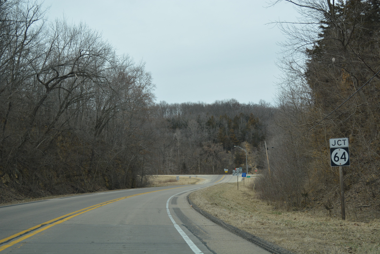
U.S. 67 winds through a mix of farm and timber land on the 2.5 mile drive from the Clinton County line to Iowa 64 in Union township.
03/12/17
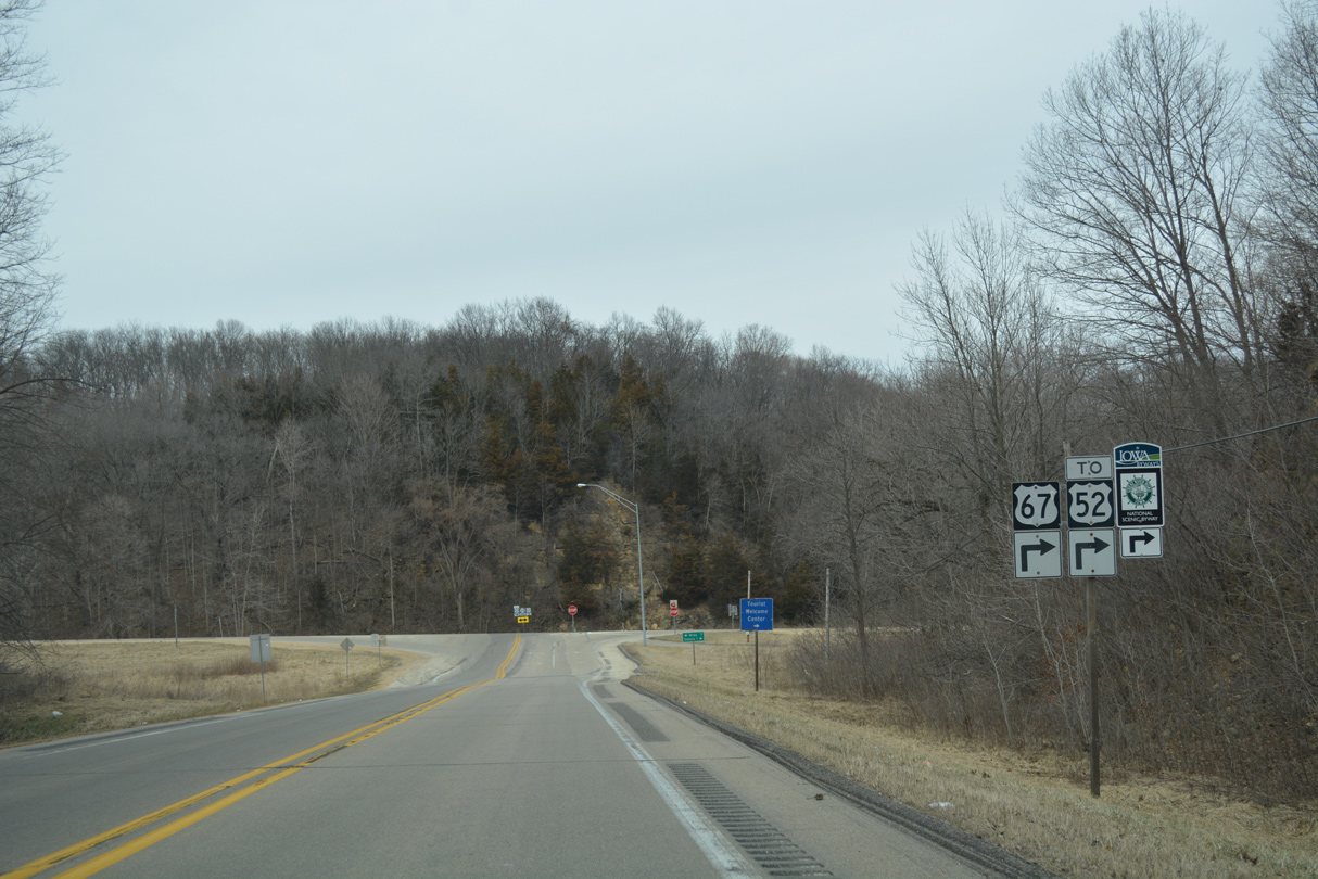
Approaching Iowa 64 on U.S. 67 north. The two meet at a rural T intersection a half mile west of U.S. 52.
03/12/17
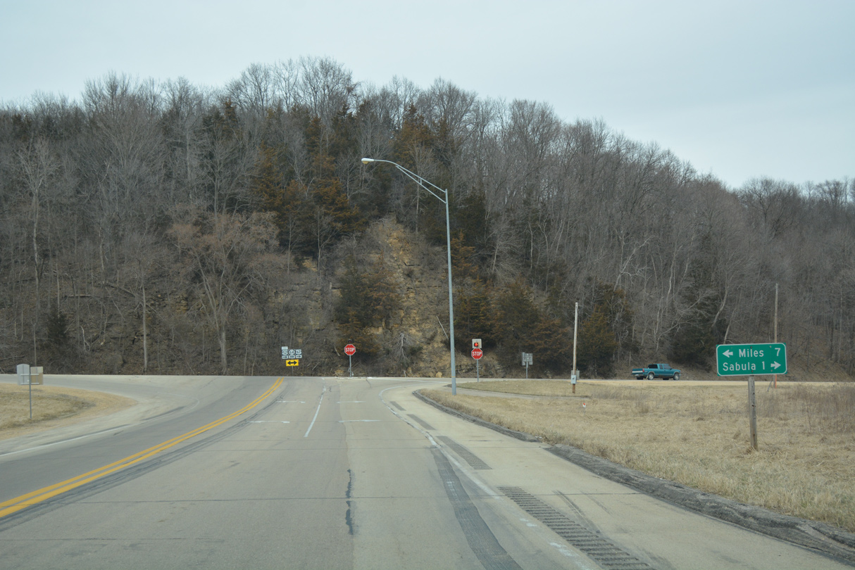
Iowa 64 is a multi-state route traveling 200 miles overall from Anamosa, Iowa to Chicago, Illinois. Within Jackson County, the state highway joins Sabula with the cities of Miles and Preston.
03/12/17
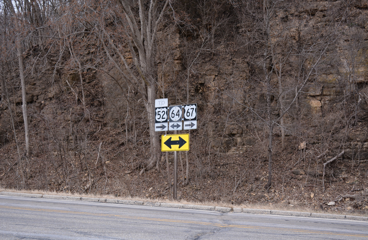
U.S. 67 north & Iowa 64 combine and lower 70 feet in elevation to U.S. 52 outside Sabula.
03/12/17
North  East
East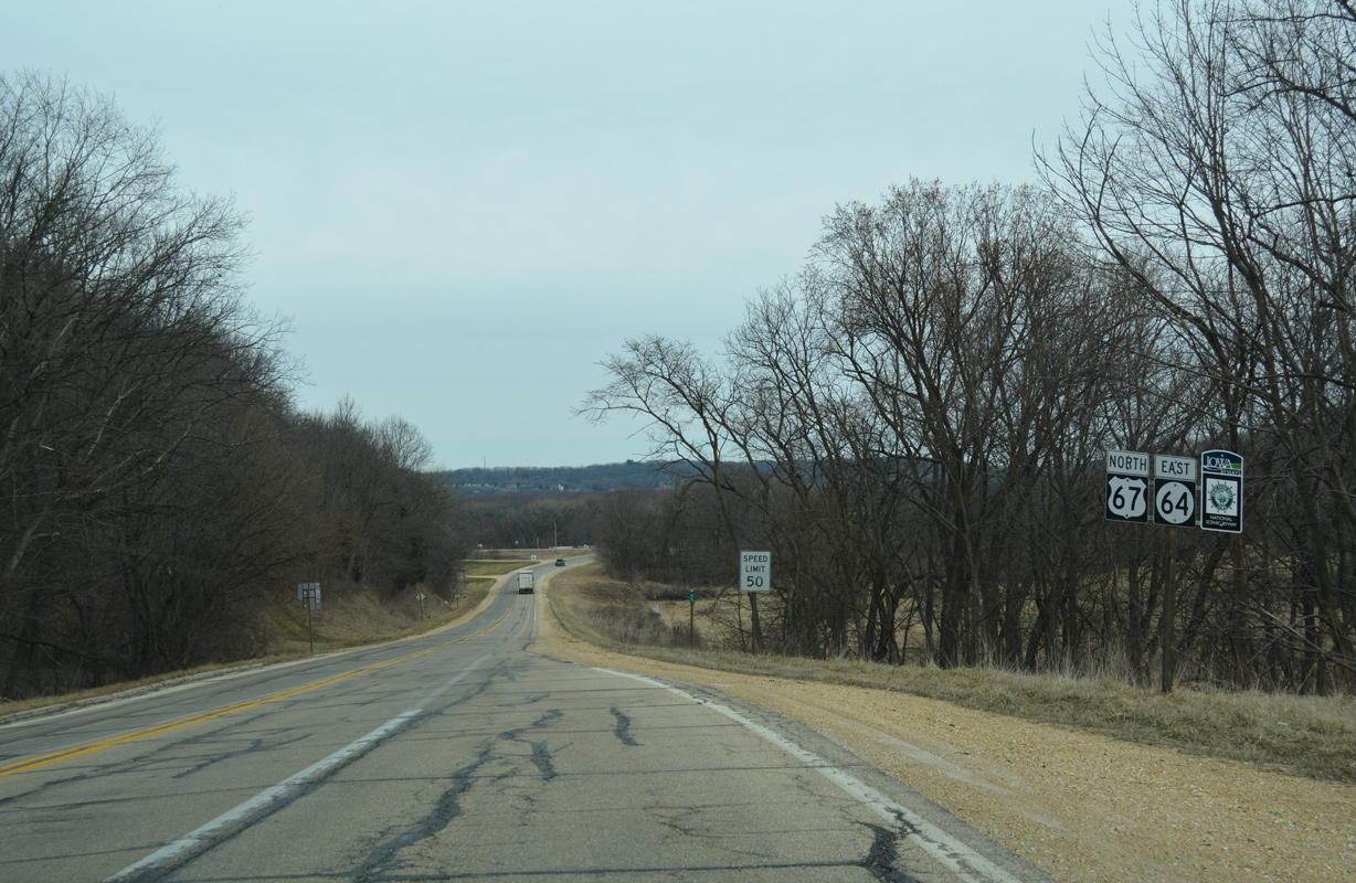
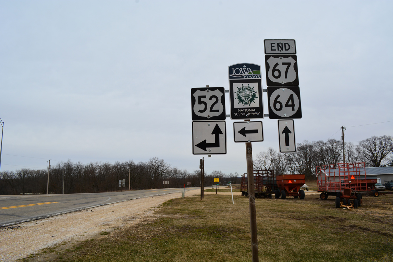
The last confirming marker for U.S. 67 appears alongside Iowa 64 as the two routes advance east toward the Mississippi River.
03/12/17
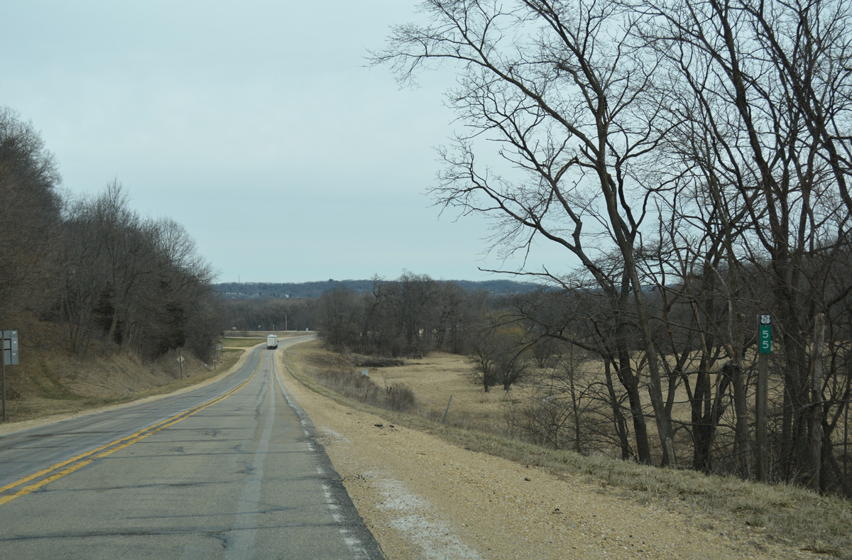
Milepost 55 follows as the last along the 1,560 mile highway.
03/12/17
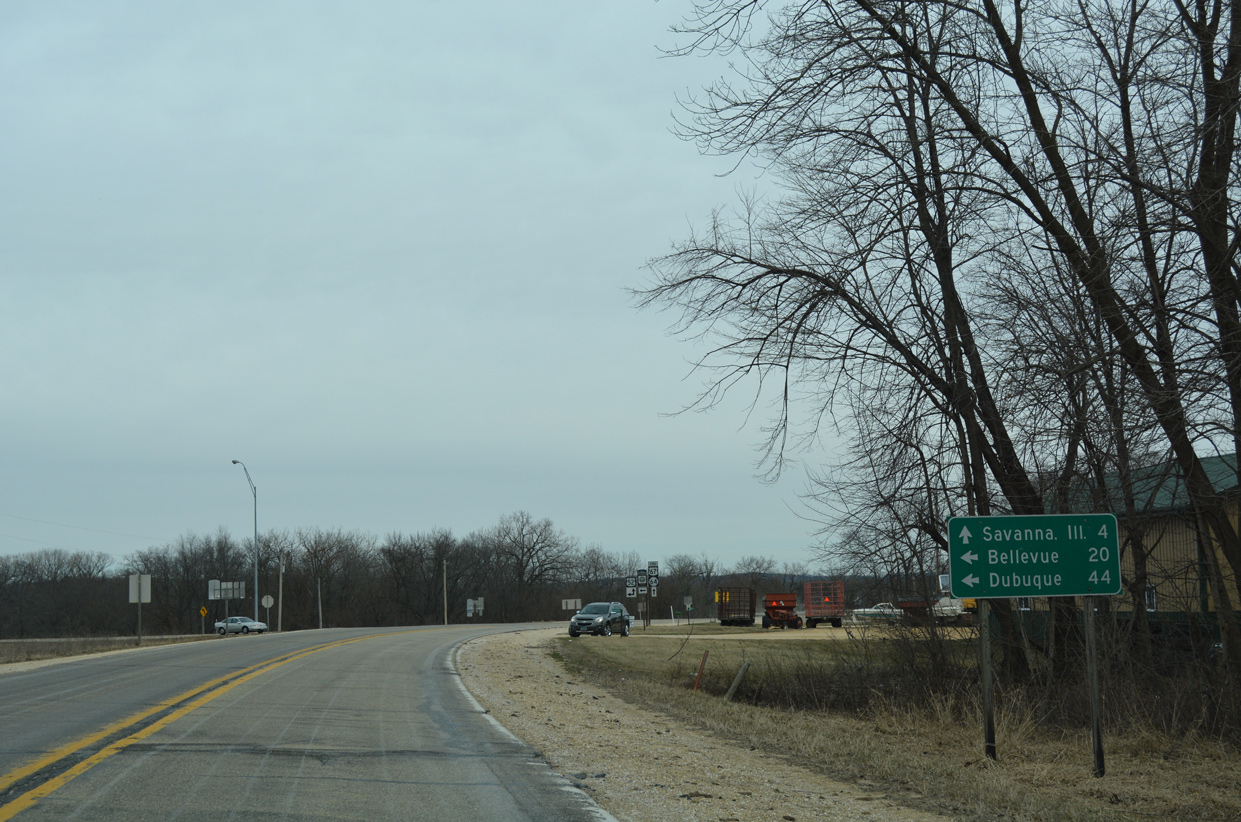
U.S. 67 concludes just west of Sabula Lakes and the city of Sabula at U.S. 52.
03/12/17
U.S. 67 continued with U.S. 52 north from Iowa 64 to Bellevue and Dubuque between 1934 and 1967.1
03/12/17
Iowa 64 combines with U.S. 52 east from the northern terminus of U.S. 67 through Sabula and across the Dale Gardner Veterans Memorial Bridge over the Mississippi River to Savanna, Illinois.
03/12/17
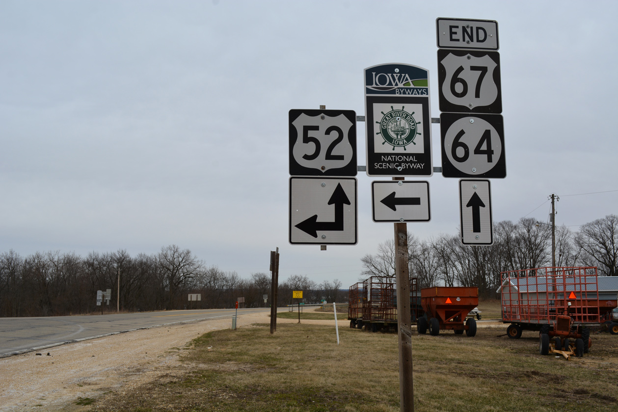
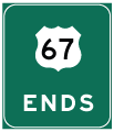
This end shield assembly for U.S. 67 was installed in October 2016.
03/12/17

References:
- End of US highway 67. USEnds.com.
Photo Credits:
- Alex Nitzman: 12/21/09
- Alex Nitzman, Bill Gatchel: 03/12/17
Connect with:
Page Updated Wednesday May 16, 2018.