
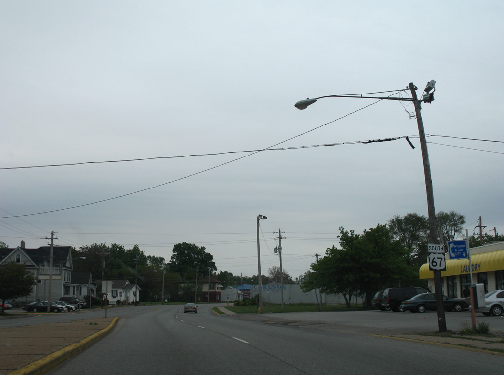
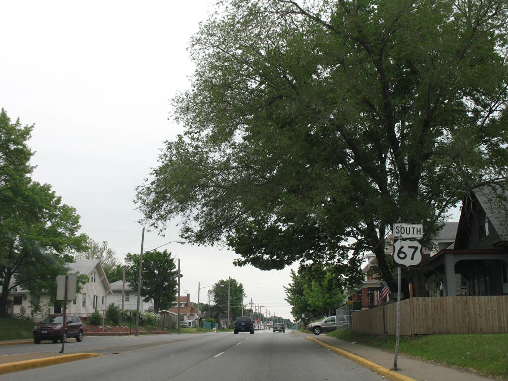
U.S. 67 South - Quad Cities
 South
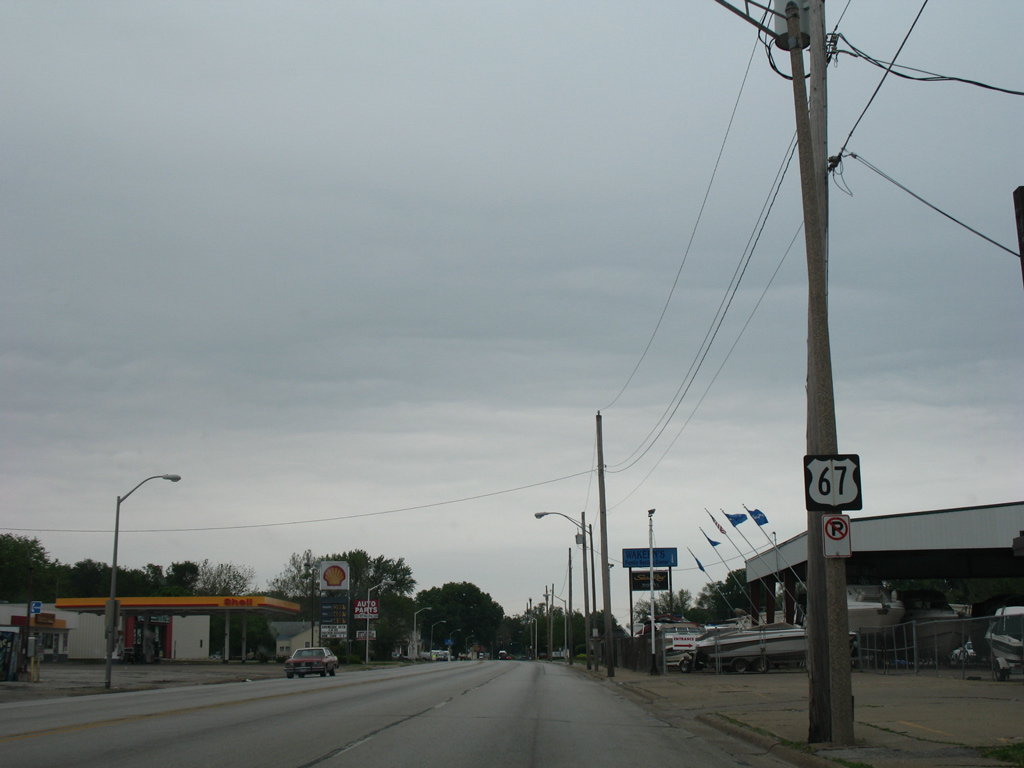
South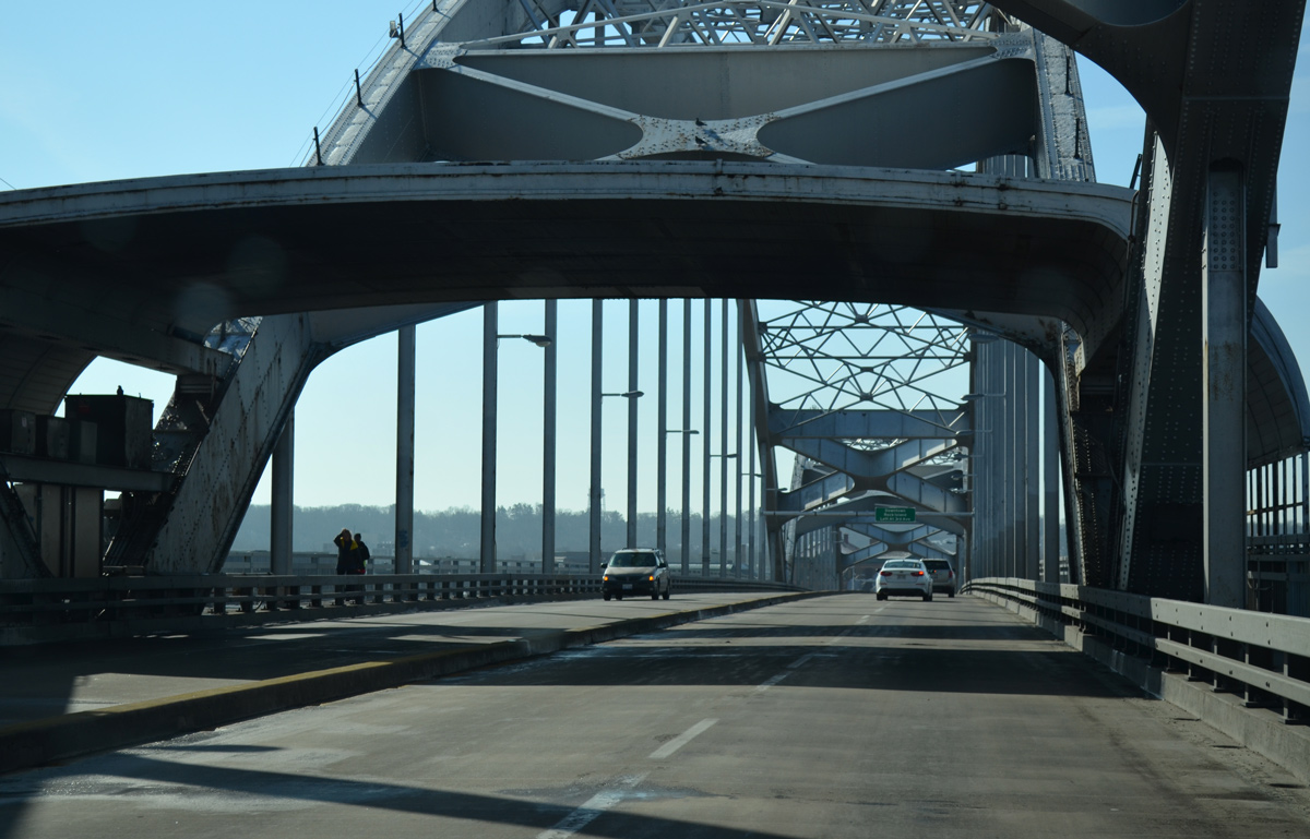
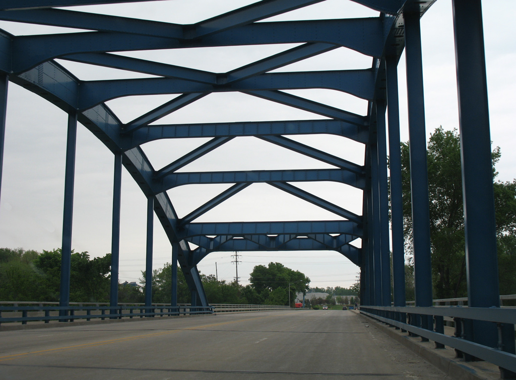
A canopy remains between the third and fourth arches of the Centennial Bridge southbound from the former toll collection point.
03/25/16
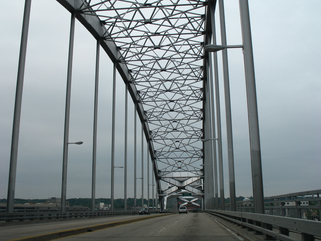
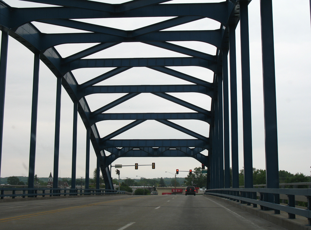
Five arches in total rise from the Centennial Bridge along U.S. 67 between Davenport and Rock Island. The steel arches support a 45.9 foot deck at a total span of 3,854 feet.1
05/25/08
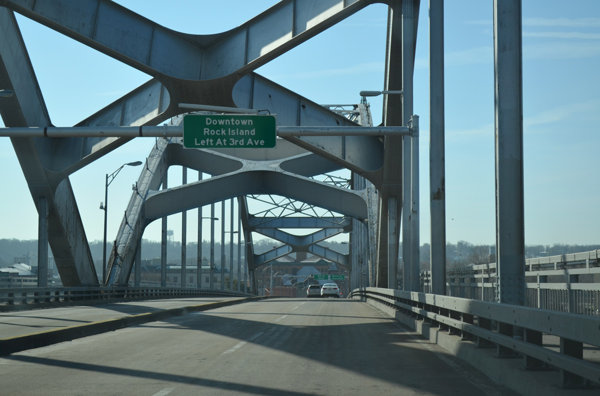
U.S. 67 descends from a maximum height of 66 feet above the Mississippi River toward 15th Street. Interests to Downtown are directed onto 3rd Avenue east, one block south of the Centennial Bridge end.
03/25/16

A structure repair and deck replacement project rehabilitated the Centennial Bridge in 1995-96. Additional work was required in 2014, leading to a full closure of the span between August 3, 2014 and October 20, 2014 to replace supporting beams and expansion joints.
05/08/10
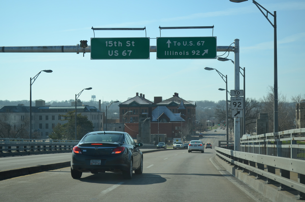
A folded diamond interchange connects the south end of the Centennial Bridge with IL 92 (Centennial Expressway west / 1st Avenue east).
03/25/16
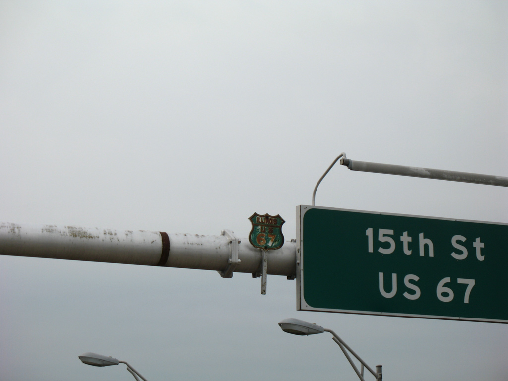
A repainted cutout shield posted on the overhead assembly directing U.S. 67 south onto 15th Street.
05/25/08
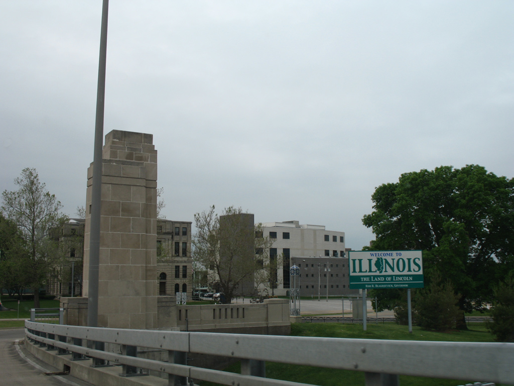
Welcome to Illinois sign posted within the loop ramp to IL 92 (1st Avenue) east from the ending Centennial Bridge south.
05/25/08
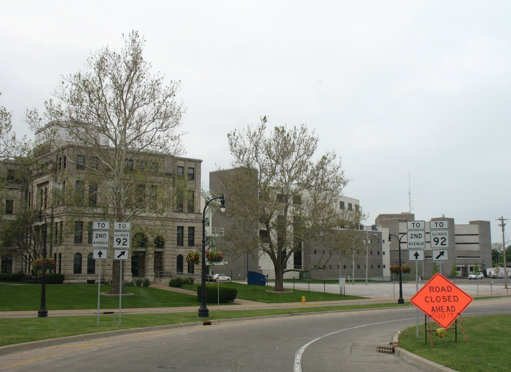
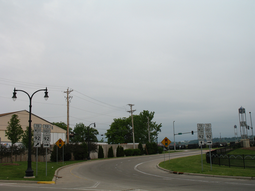
Looping away from U.S. 67 south, the ramp partitions into prongs for 2nd Avenue west to the adjacent Rock Island Justice Center and IL 92.
05/25/08
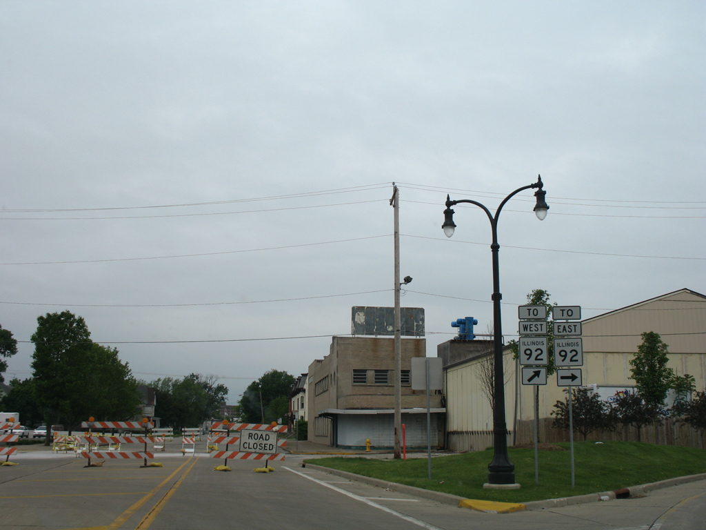
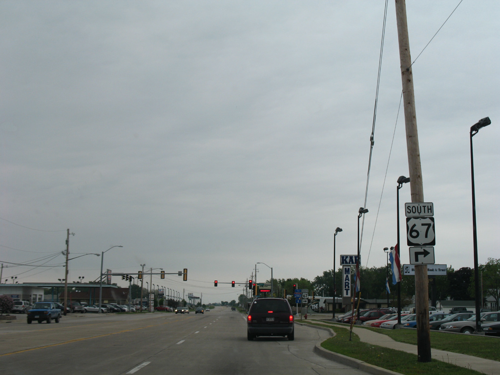
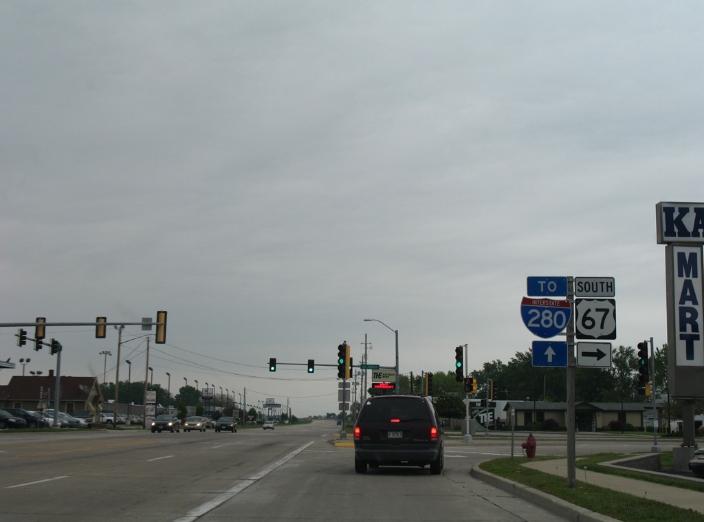
The loop ramp meets the east end of the Centennial Expressway at a signalized intersection. IL 92 follows the freeway southwest 4.3 miles, connecting Downtown with Interstate 280.
05/25/08
East from the Centennial Bridge, IL 92 travels along 1st Avenue to encircle Downtown alongside the Iowa Interstate Railroad to 24th Street at 5th Avenue. The state route parallels Sylvan Slough east to Downtown Moline.
05/25/08
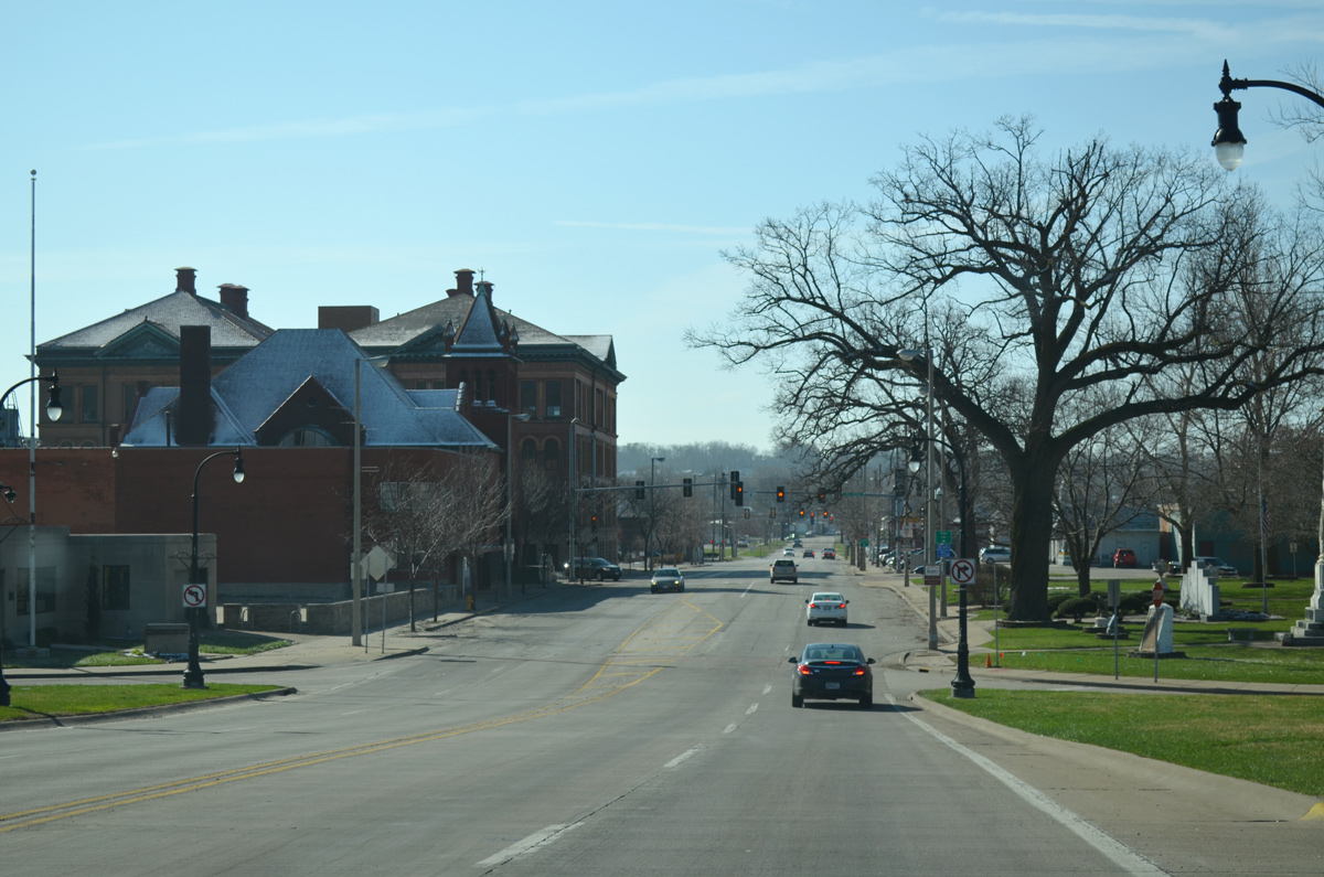
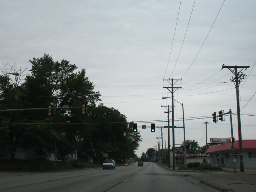
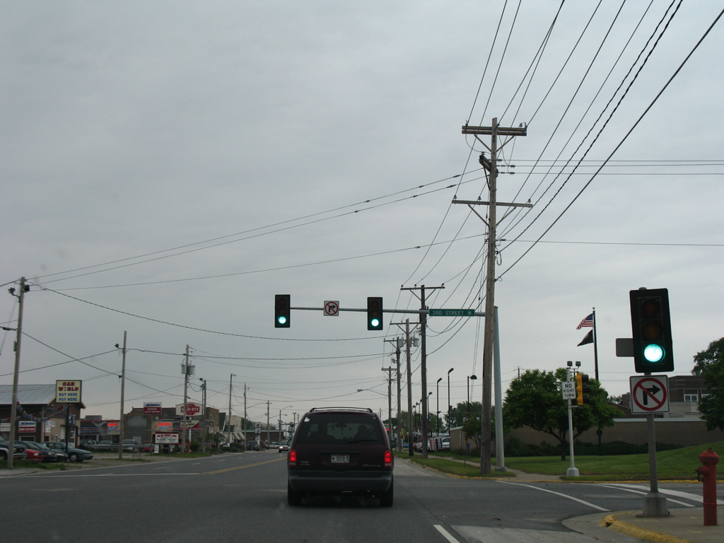
U.S. 67 lowers onto 15th Street ahead of 3rd Avenue to the west of Downtown Rock Island.
03/25/16
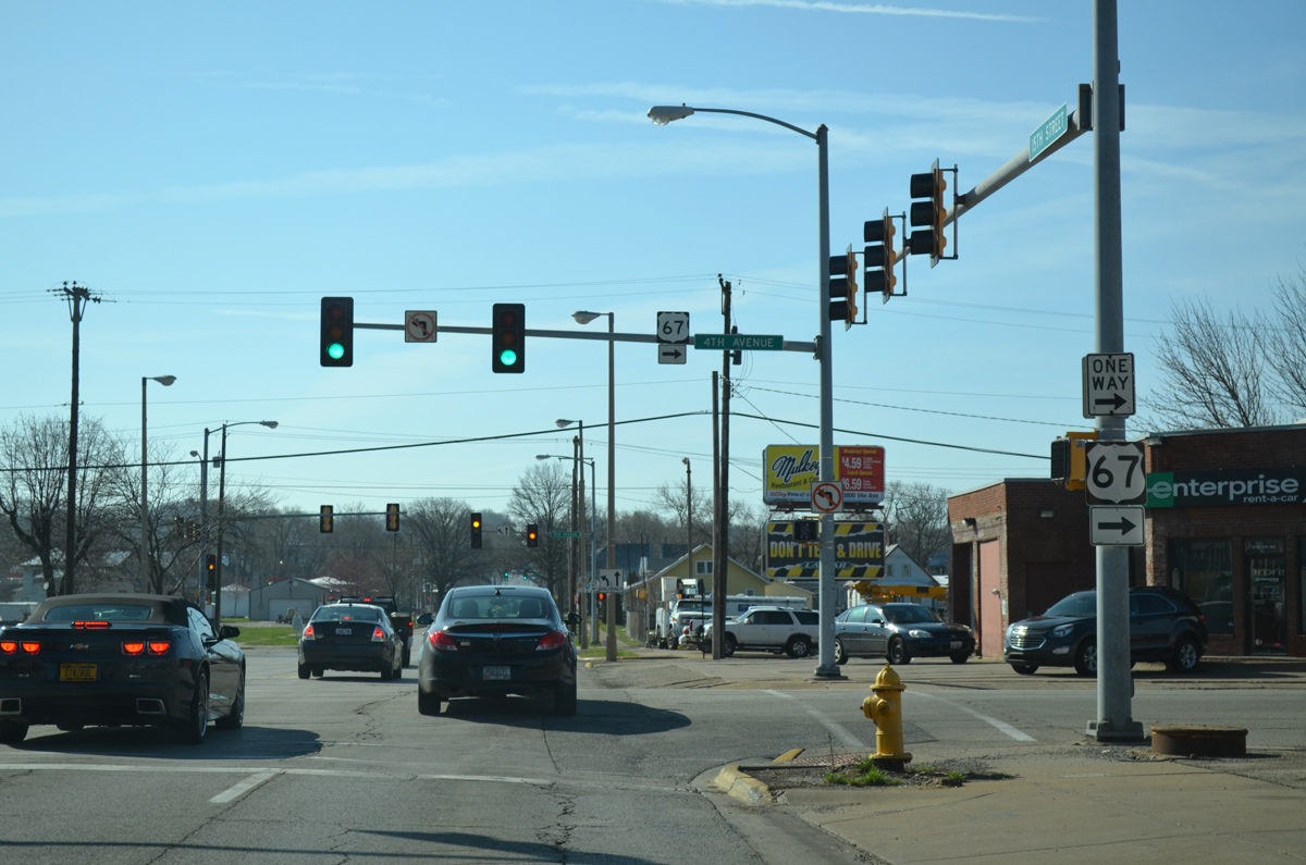
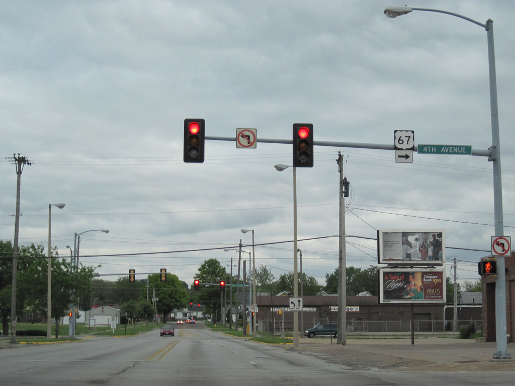
Two blocks south of the Centennial Bridge, U.S. 67 turns west from 15th Street onto 4th Avenue west.
03/25/16
A one way couplet with adjacent 5th Avenue east separates the directions of U.S. 67 between 11th and 15th Streets.
05/08/10
11th Street flows westbound with three overall lanes as U.S. 67 between 15th and 11th Streets.
03/25/16
U.S. 67 turns south at 11th Street for the remaining drive through Rock Island.
03/25/16
4th Avenue reverts to a local two-way street serving an industrial area along the Mississippi River beyond the turn of U.S. 67 south onto 11th Street.
05/25/08
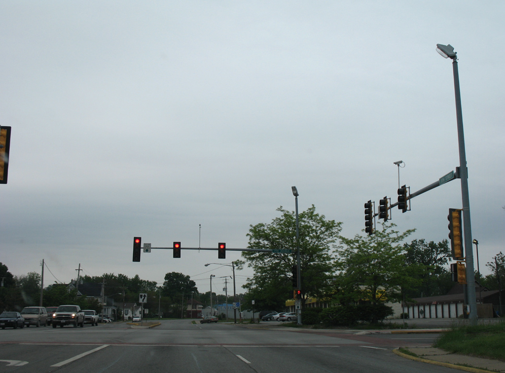
11th Street stems south from a wye interchange with IL 92 (Centennial Expressway) with four overall lanes.
05/25/08
7th Avenue comprises an east-west through street between IL 92 (Centennial Expressway) and Augustana College across Rock Island.
05/25/08
The Rock Island street grid shifts in orientation at 9th Avenue with streets no longer perpendicular to the Mississippi River.
05/25/08
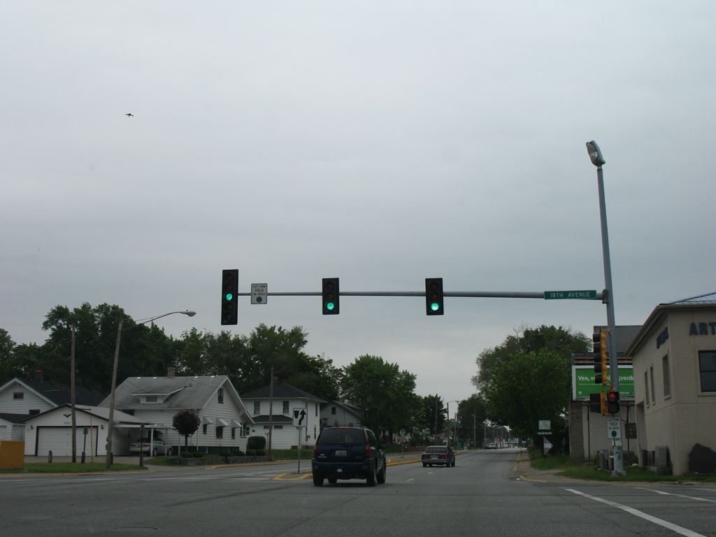
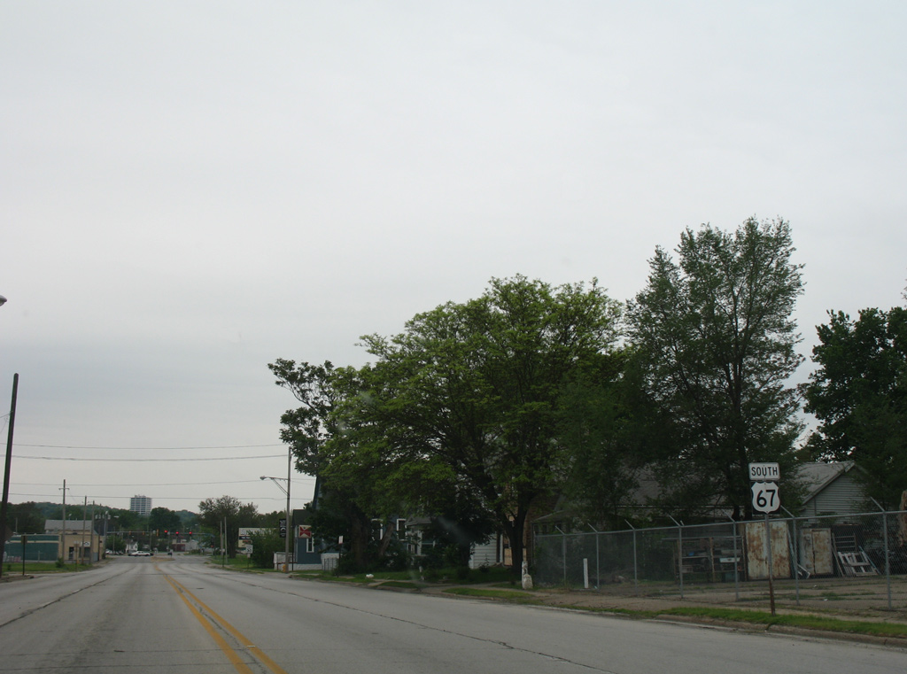
18th Avenue crosses U.S. 67 (11th Street) at the next signalized intersection southbound. 18th Avenue serves a number of parks in Rock Island from a boat ramp area on Lake Potter to the west and Longview Park to the east.
05/25/08
Removed by 2011, this U.S. 67 reassurance marker stood alongside 11th Avenue south of 18th Avenue.
05/25/08
25th Avenue connects U.S. 67 (11th Street) with industrial areas west of parallel Dr. Martin Luther King, Jr. Drive and Rock Island High School and Trinity Medical Center to the east.
05/25/08
U.S. 67 (11th Street) south after 27th Avenue. This shield assembly was replaced by 2011.
05/25/08
31st Avenue leads west from U.S. 67 to Lake Potter off the Mississippi River and east to 38th Street at Saukie Golf Course.
05/25/08
Southbound U.S. 67 (11th Street) at 42nd Avenue.
05/25/08
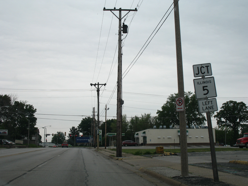
U.S. 67 turns southeast at the western terminus of IL 5 (Blackhawk Road). Blackhawk Road parallels the Rock River east to Black Hawk State Historic Site and southwest Moline.
05/25/08
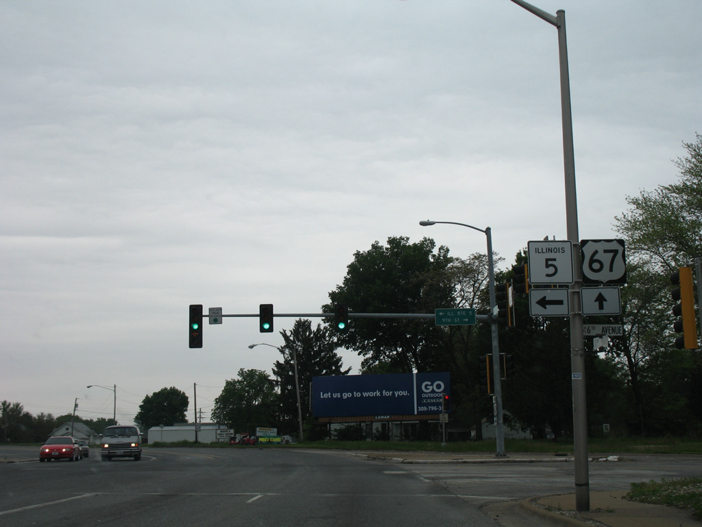
IL 5 runs just 15 miles east from U.S. 67 to Interstates 80 and 88 at East Moline. The route originally followed all of the East-West Tollway from the Quad Cities to Chicago. It was truncated west to I-80 in 1987 when I-88 was designated over the toll road.
05/25/08
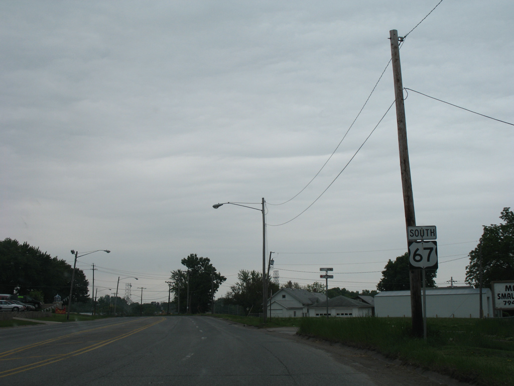
U.S. 67 south exits the Rock Island street grid and approaches the Rock River.
05/25/08
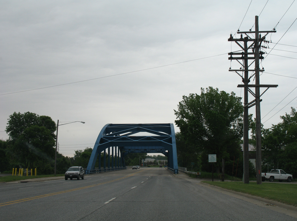
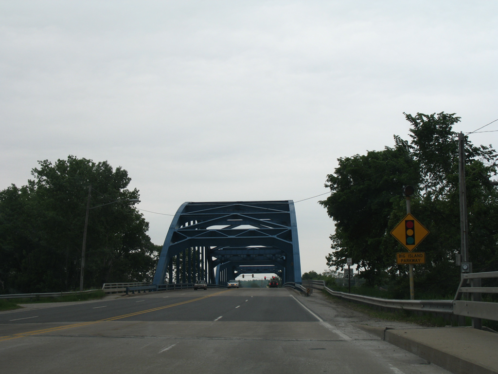
A steel through arch bridge carries four lanes of U.S. 67 across the north channel of the Rock River. Constructed in 1948, the 705.7 foot bridge2 connects Rock Island with Vandruff Island.
05/25/08
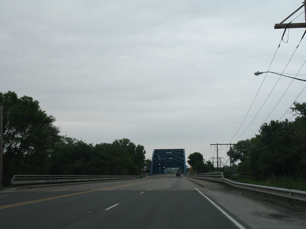
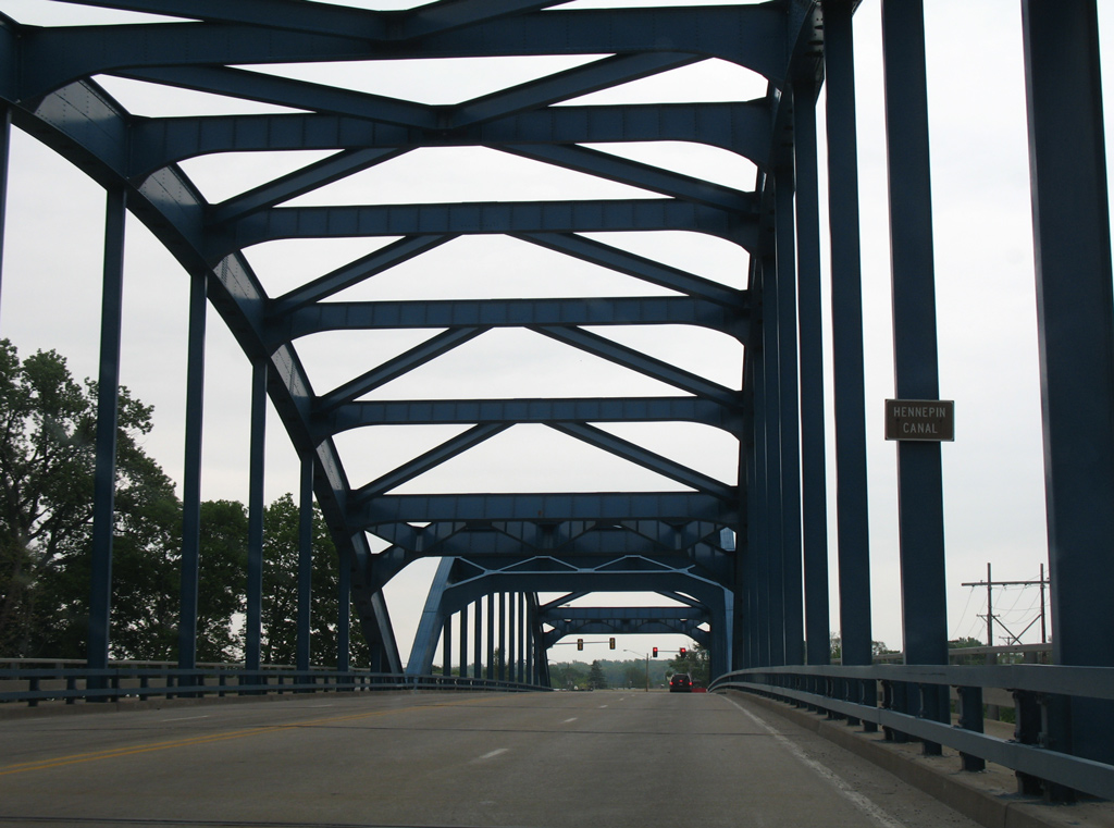
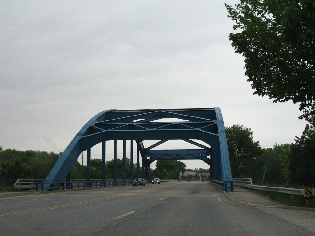
A second steel through arch bridge spans both the Rock River south channel and adjacent Hennepin Canal. Also constructed in 1948, this bridge totals 703.1 feet in length.3
05/25/08
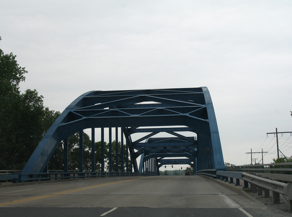
The steel arch portion of the U.S. 67 bridge across Rock River south channel rises south of a small island within the river. Parallel Hennipen Canal follows before U.S. 67 enters the Milan street grid beyond Big Island Parkway west.
05/25/08
U.S. 67 briefly travels east along 1st Avenue West along a commercial strip into Milan. 3rd Street West flows north from 4th Avenue West to end at this traffic light with the US highway.
05/25/08
U.S. 67 turns again onto 1st Street W to bisect Milan southward to the village of Oak Grove.
05/25/08
1st Avenue E continues beyond U.S. 67 to become Airport Road ahead of a diamond interchange with Interstate 280.
05/25/08
Reassurance marker posted for U.S. 67 south along 1st Street W after 1st Avenue.
05/29/18

4th Avenue intersects U.S. 67 (1st Street W) east from 4th Street W and west from a residential area by Mill Creek.
05/29/18
U.S. 67 passes below Interstate 280 with no access between the two routes.
05/29/18
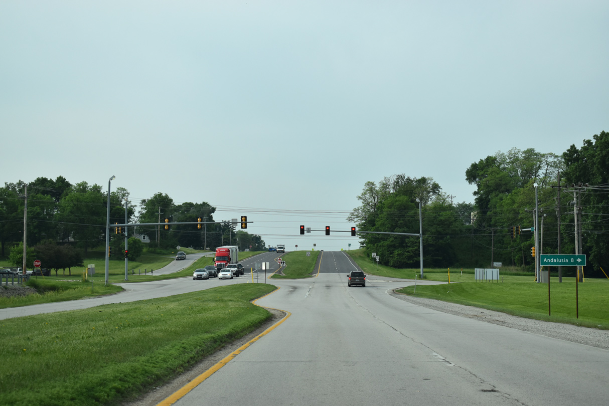
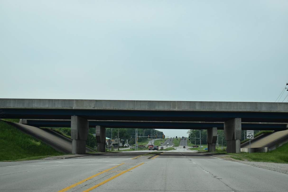
U.S. 67 intersects 10th Avenue just beyond the I-280 overpasses. 10th Avenue W becomes 78th Avenue W into Rock Island. IL 92 joins 78th Avenue W from the Centennial Expressway to Andalusia.
05/29/18
U.S. 67 (1st Street) expands to a four lane, divided highway southward from 10th Avenue in Milan.
05/29/18
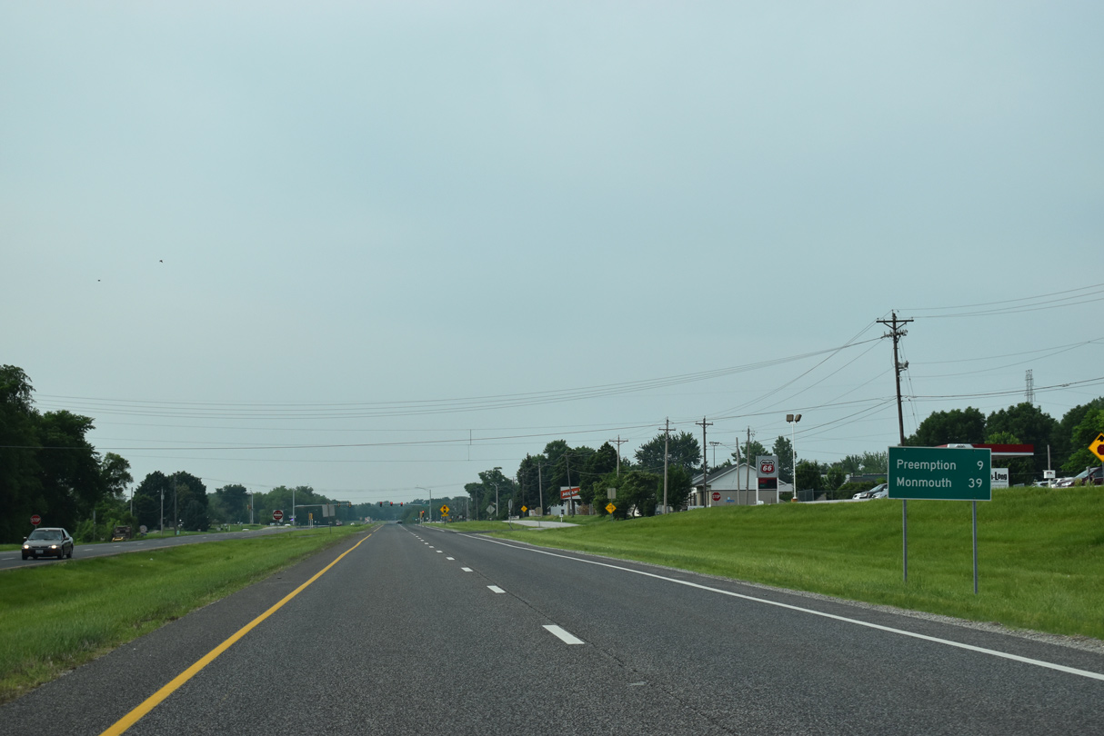
Continuing south from Milan and Pleasant Grove, U.S. 67 reaches Preemption in nine miles and Monmouth in 39 miles.
05/29/18
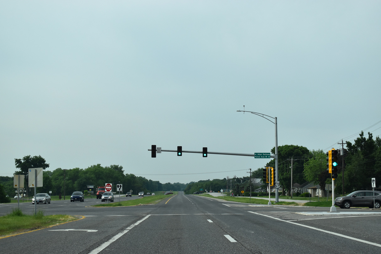
92nd Avenue west and Rock Island-Milan Parkway form part of the Milan Beltway system encircling southern reaches of Rock Island west to IL 92 and Milan northeast to IL 5 at Moline.
05/29/18
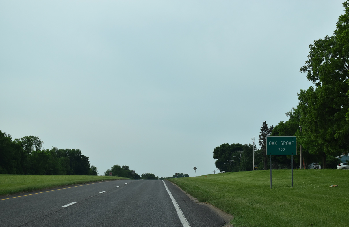
Entering the village of Oak Grove on U.S. 67 southbound.
05/29/18
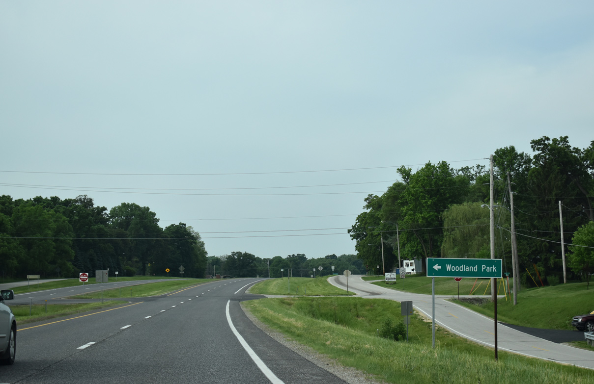
Woodland Road leads east from U.S. 67 to the Woodland Park mobile home community. 106th Avenue W ties into U.S. 67 east from CR 62 (28th Street W).
05/29/18
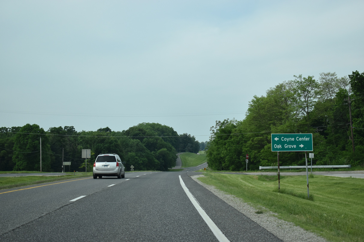
Hillcrest Road (old U.S. 67) leads back north into Oak Grove while Coyne Center Road weaves through residential areas of Coyne Center to the southeast.
05/29/18
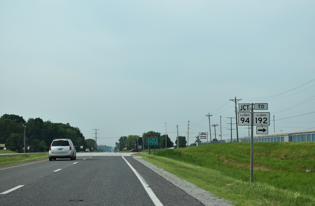
Leaving Oak Grove, U.S. 67 approaches the north end of IL 94 at 127th Avenue W and 9th Street.
05/29/18
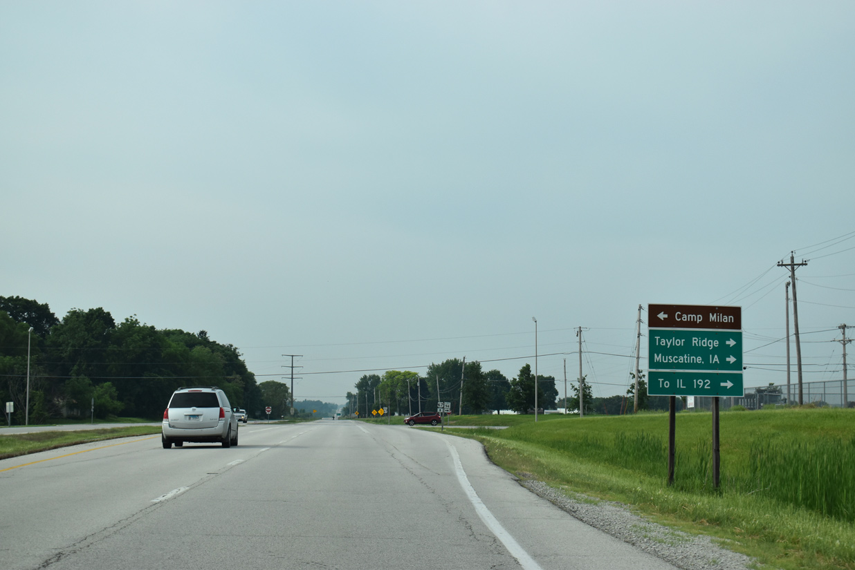
IL 94 runs 4.9 miles west to IL 192 at Taylor Ridge. IL 192 constitutes an 8.3 mile route from there to IL 92 ahead of Illinois City and Muscatine, Iowa.
05/29/18
Traveling 129 miles, IL 94 follows a stair stepped route southwest to Aledo, Biggsville, La Harpe and Carthage. The state route ends at U.S. 24 east of Camp Point.
05/29/18
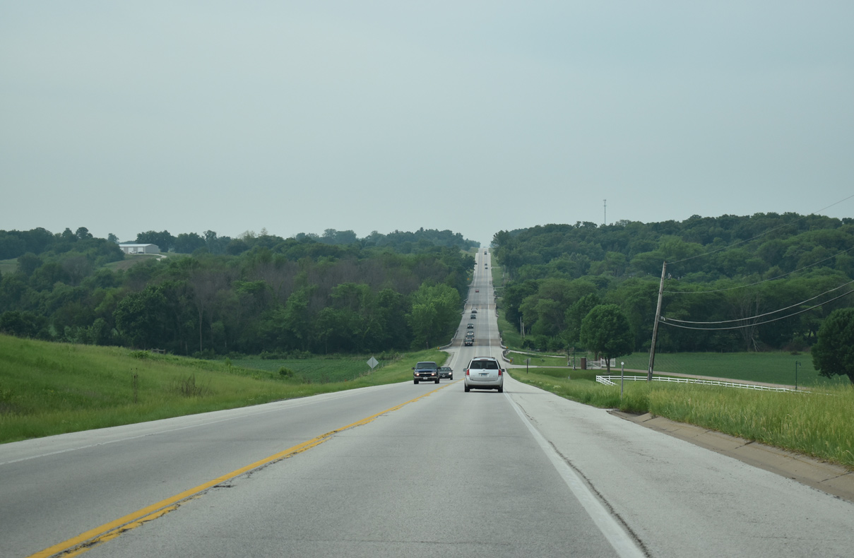
U.S. 67 reduces to two lanes south of IL 94.
05/29/18
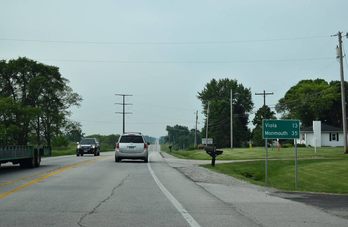
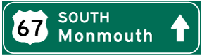
The village of Viola lies at the crossroads with IL 17, 13 miles from IL 94. U.S. 67 reaches the Monmouth vicinity in a half hour.
05/29/18
U.S. 67 crossing Mill Creek.
05/29/18

Reassurance marker posted south of Rock Island County Road NN (176th Avenue).
05/29/18
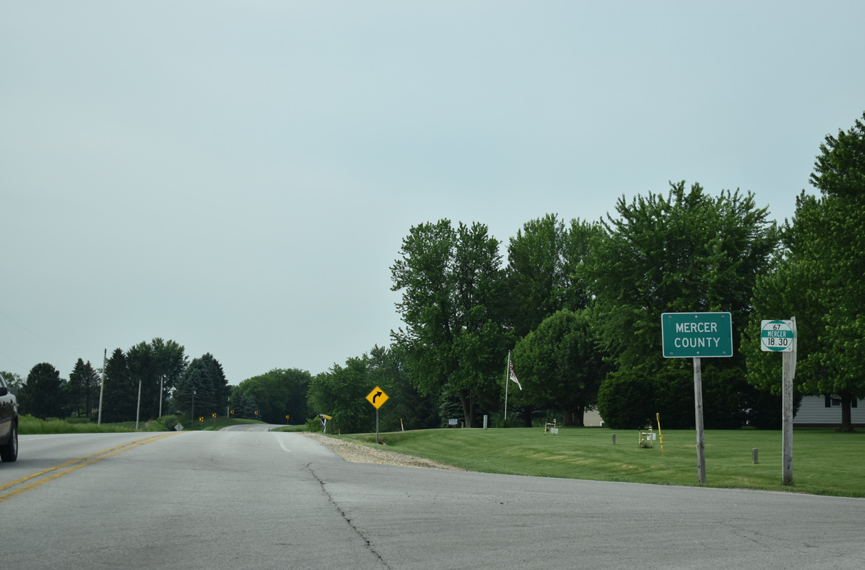
U.S. 67 travels 18.30 miles south through Mercer County.
05/29/18

References:
- Centennial Bridge. http://bridgehunter.com/ia/scott/centennial/ Bridgehunter.com.
- US 67 Rock River Bridge (North Channel). http://bridgehunter.com/il/rock-island/bh55868/ Bridgehunter.com.
- US 67 Rock River Bridge (South Channel). http://bridgehunter.com/il/rock-island/bh55869/ Bridgehunter.com.
Photo Credits:
- Alex Nitzman, Bill Gatchel: 03/25/16
- AARoads: 05/25/08
- ABRoads: 05/08/10
- Alex Nitzman: 05/29/18
Connect with:
Page Updated Friday December 20, 2019.