
U.S. 70 West - New Mexico to Safford

 West
West
U.S. 70 enters Greenlee County, Arizona west of Pearson Mesa.
04/25/17
04/25/17
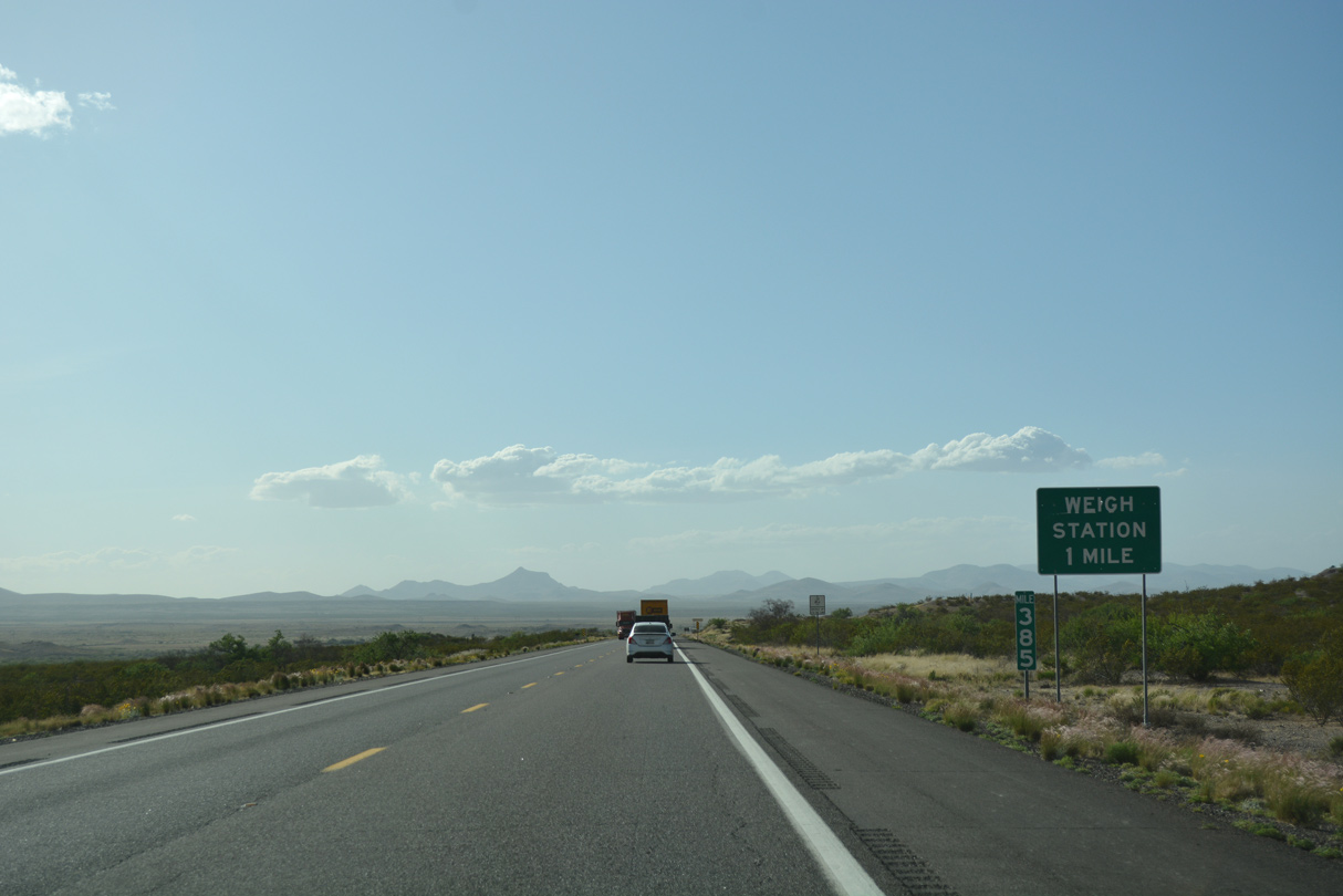
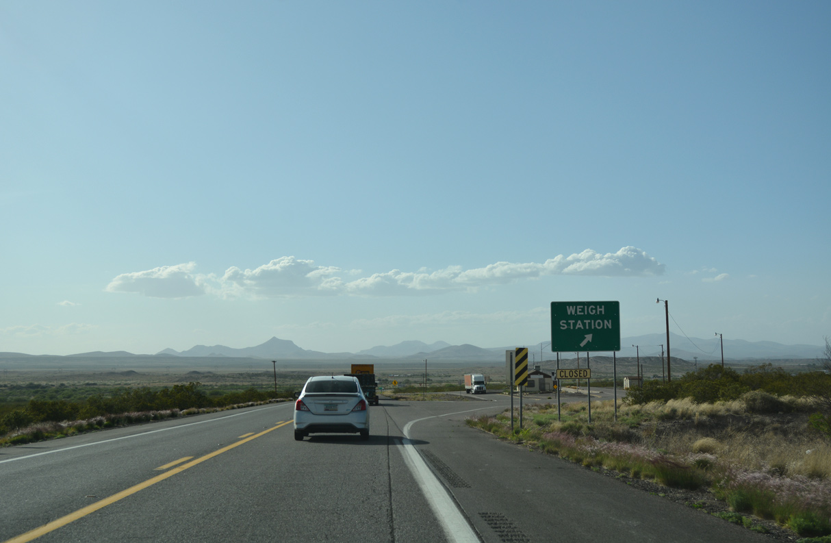
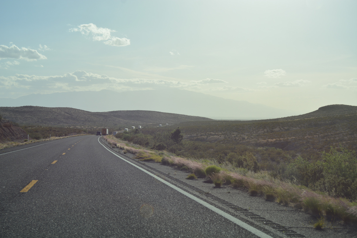
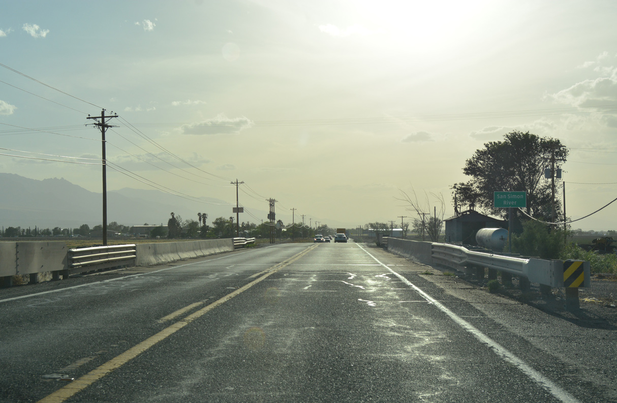
A weigh station lines the north side of U.S. 70 ahead of mile marker 384.
04/25/17
04/25/17
04/25/17
04/25/17
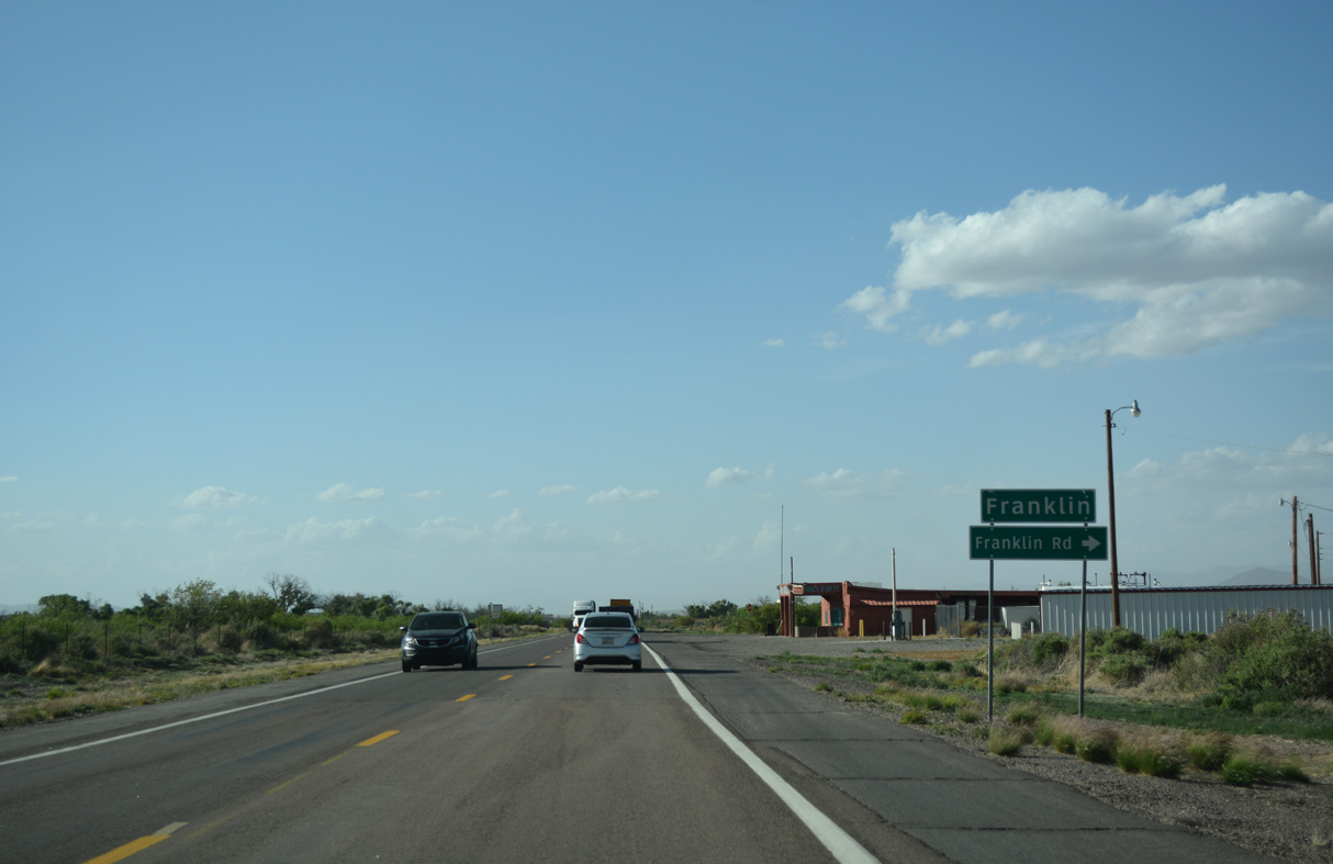
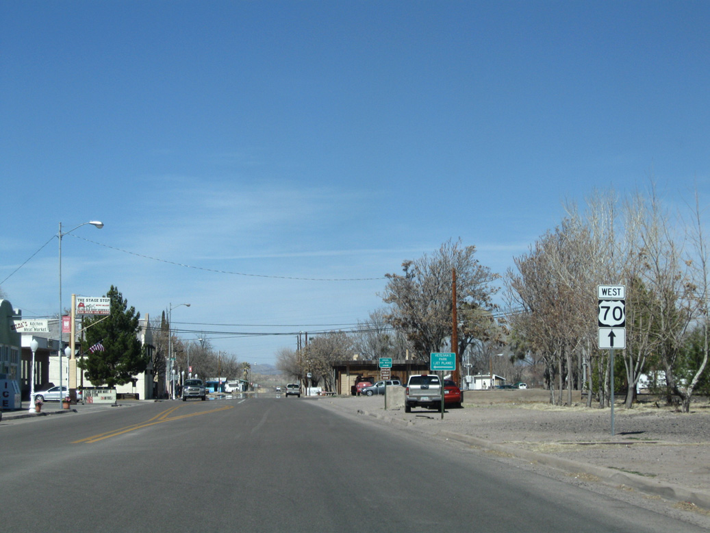
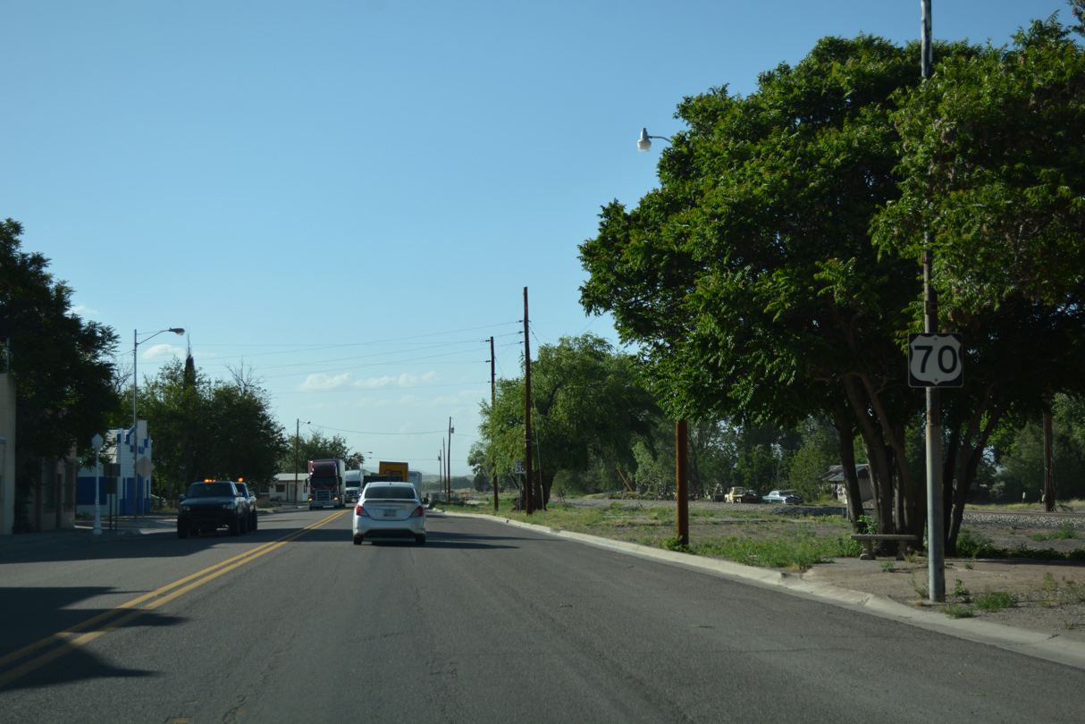
U.S. 70 heads north from the New Mexico state line to the unincorporated community of Franklin.
04/25/17
04/25/17
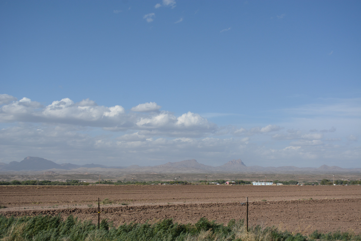
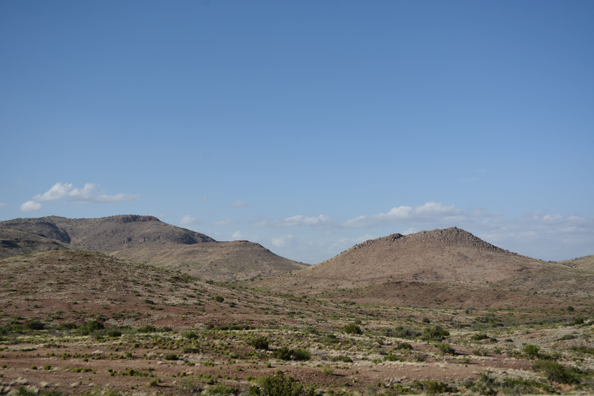
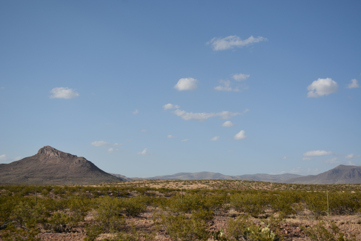
The Summit Mountains rise along the northern horizon.
04/25/17
04/25/17

U.S. 70 crosses Railroad Wash north at Railroad Wash Road in Franklin.
04/25/17
04/25/17
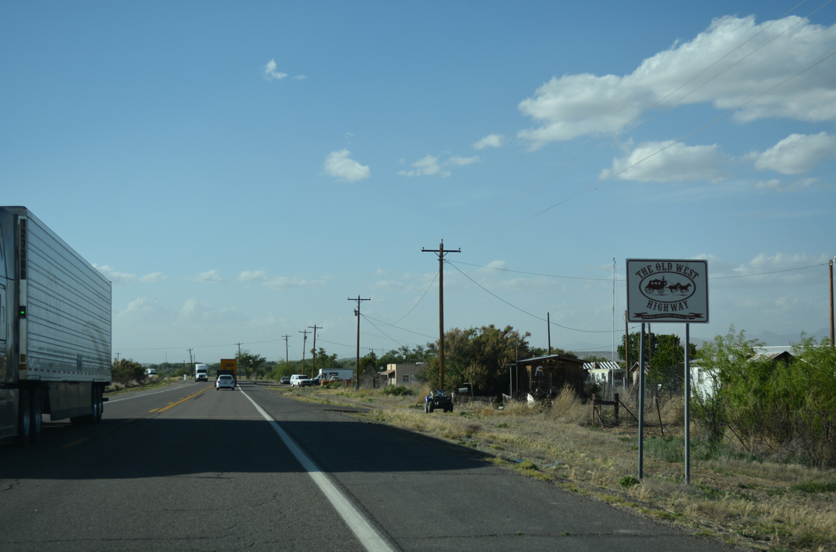
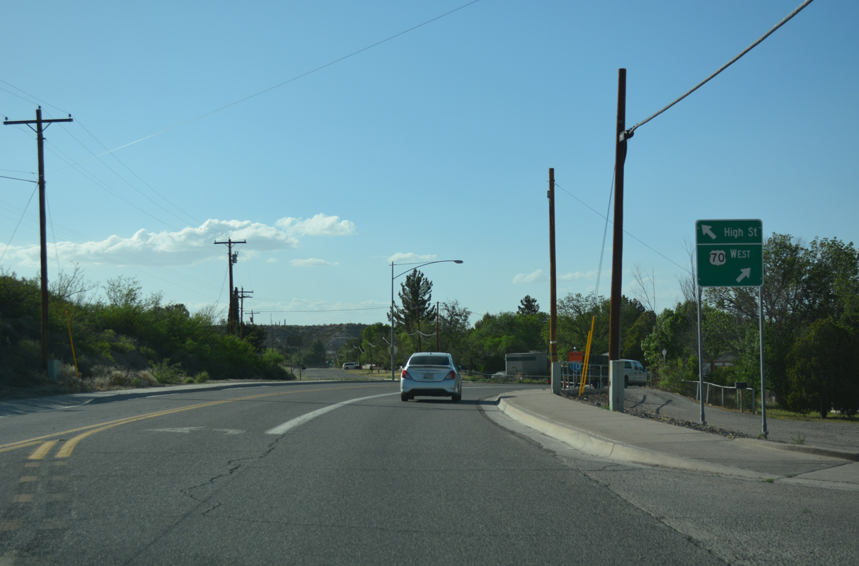
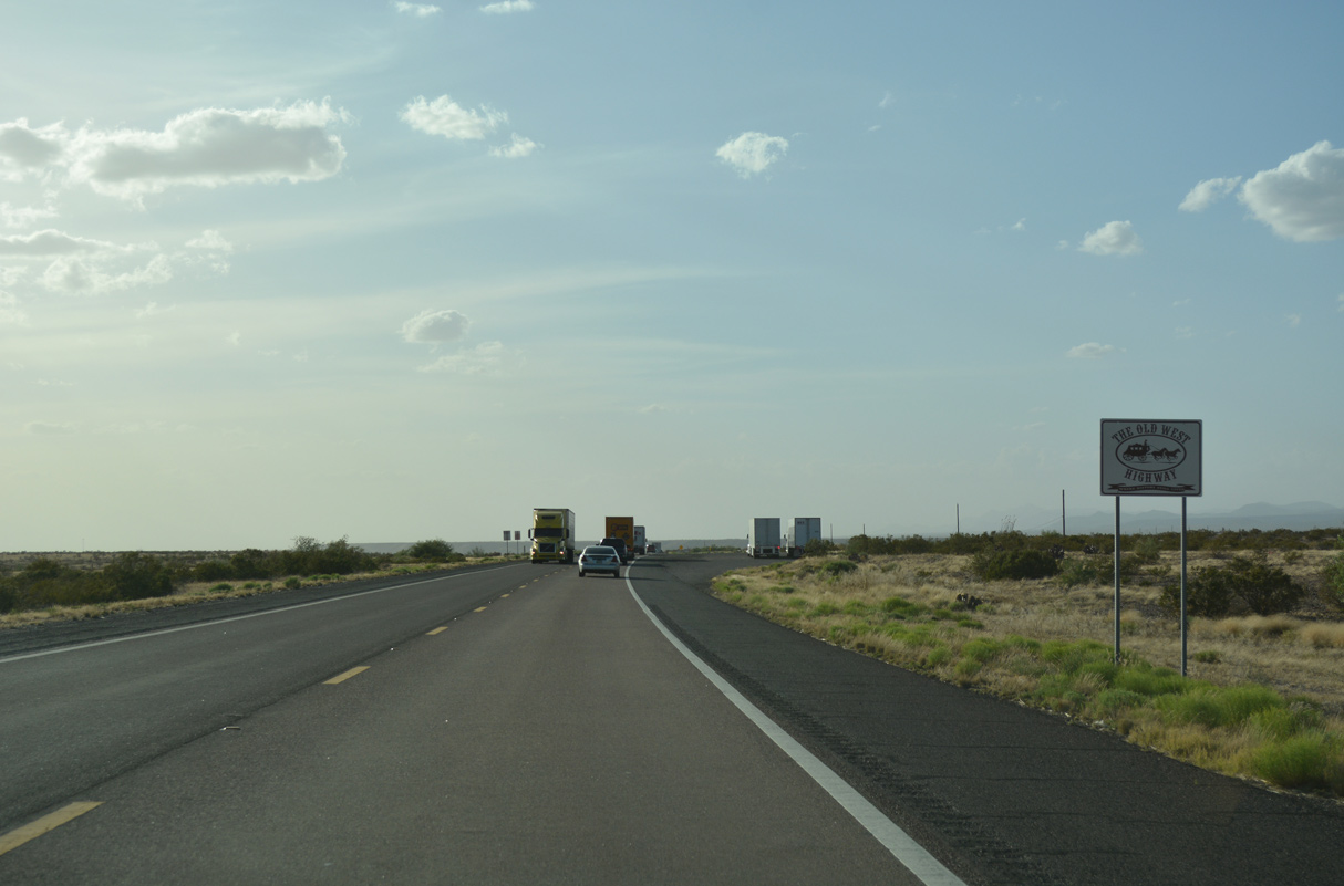
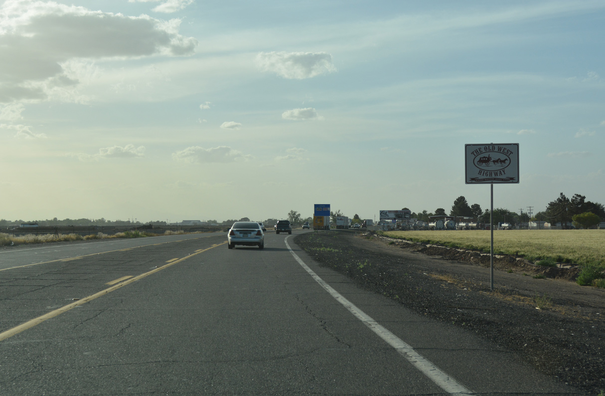
U.S. 70 is The Old West Highway.
04/25/17
04/25/17
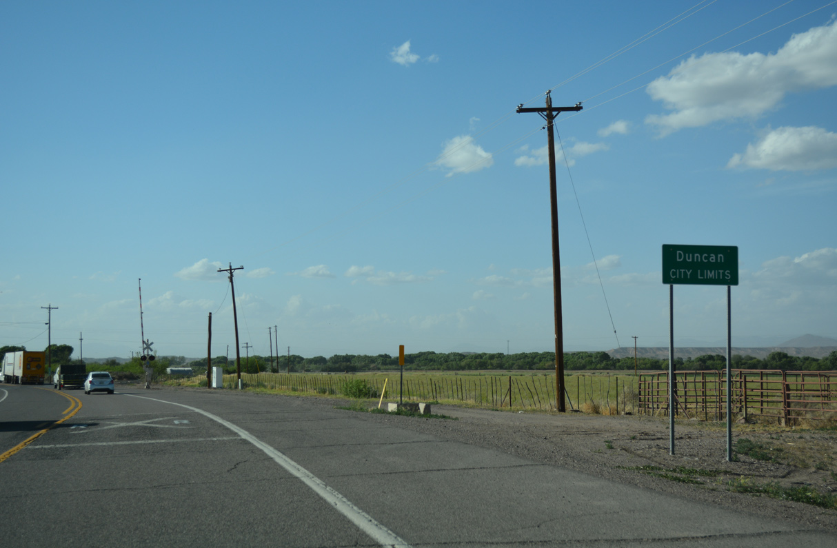
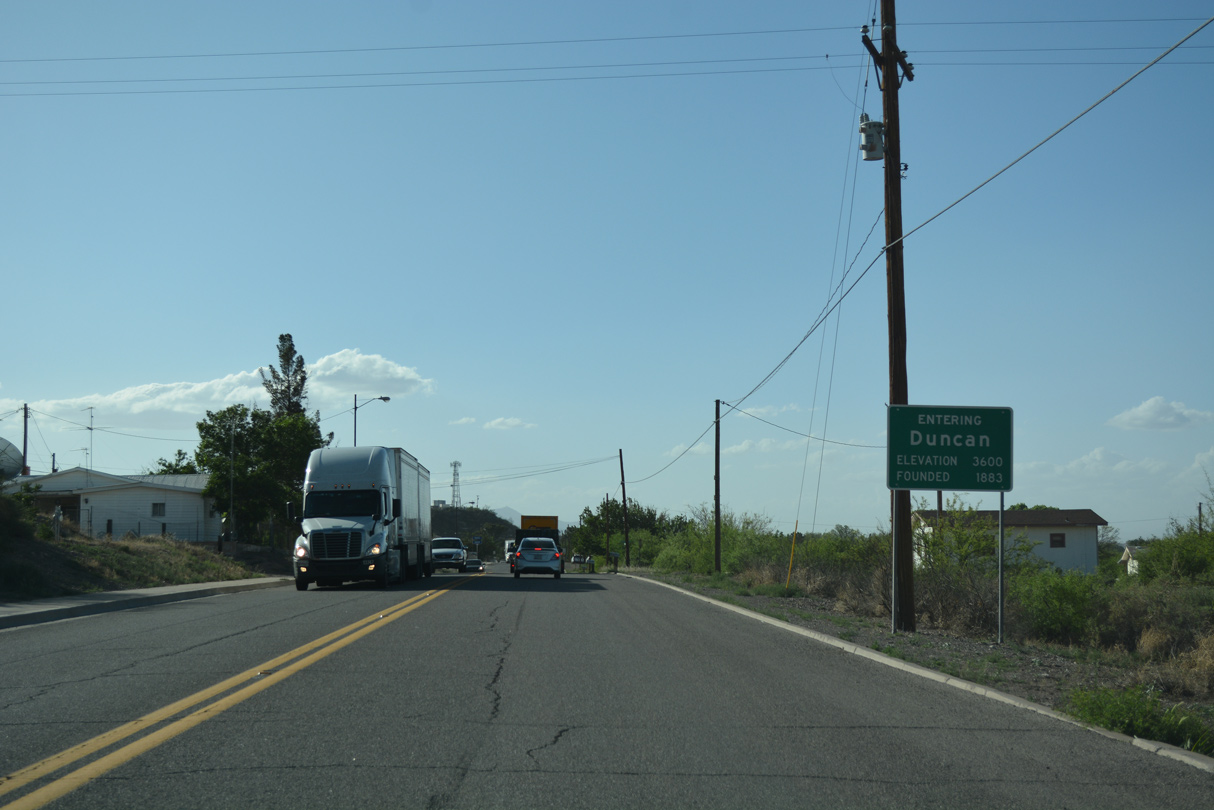
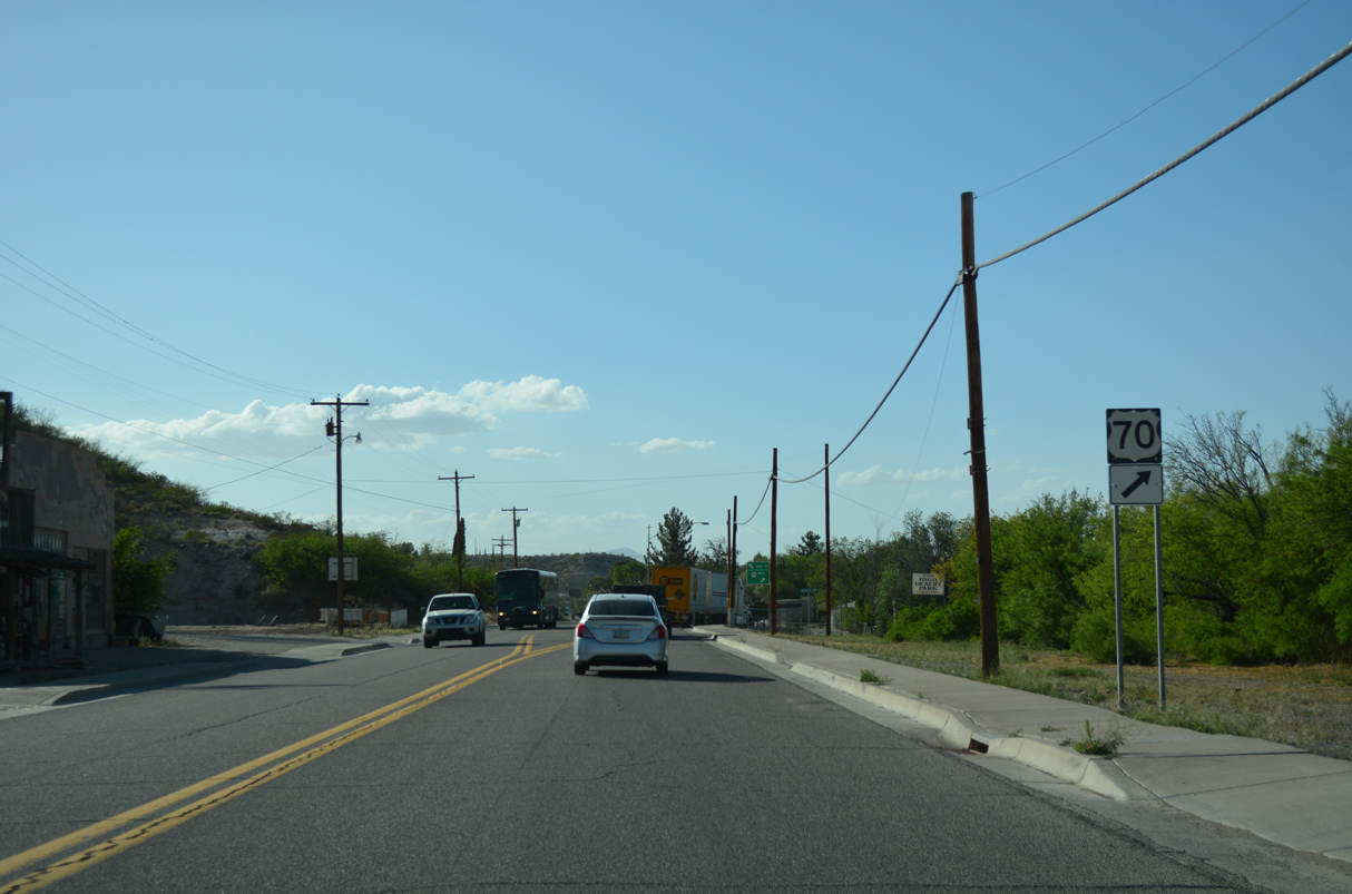
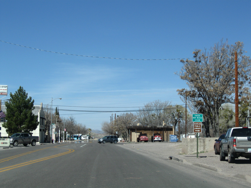
Shifting west, U.S. 70 enters the town of Duncan at an at-grade crossing with the Arizona Eastern Railroad line.
04/25/17
04/25/17
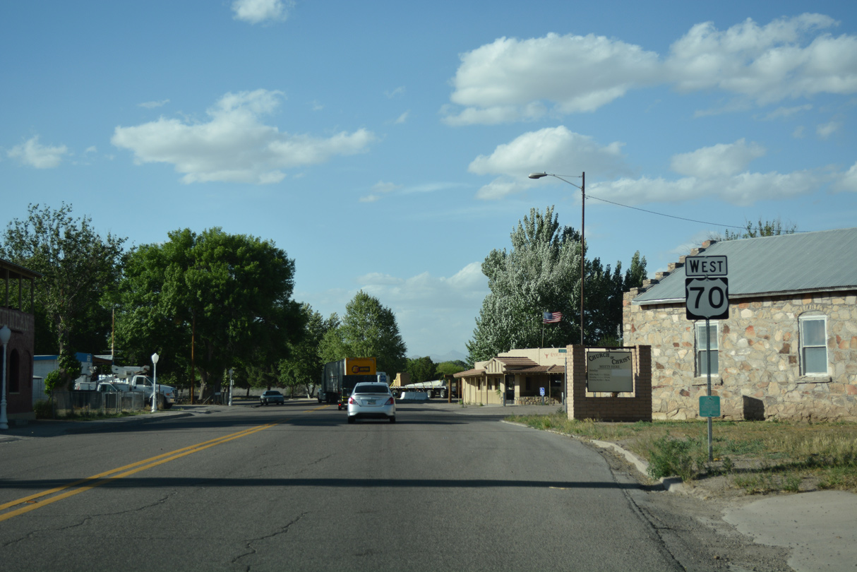
U.S. 70 is the Old West Highway 70 through Duncan.
04/25/17
04/25/17
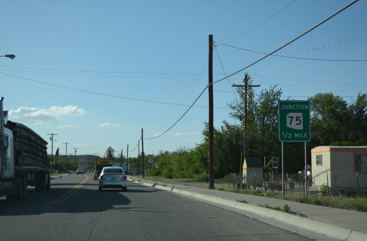
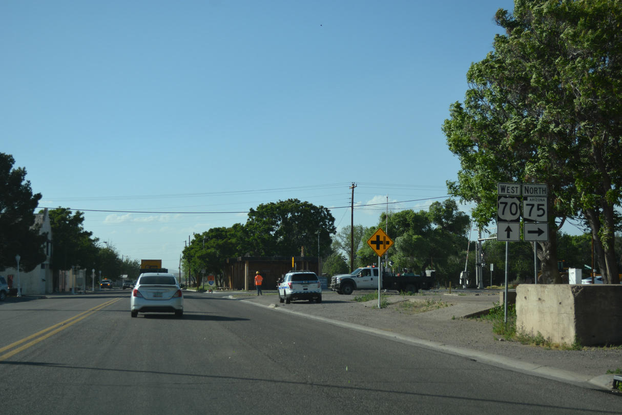
U.S. 70 meets the south end of SR 75 in Duncan.
04/25/17
04/25/17
04/25/17
04/25/17
04/25/17
03/01/09
SR 75 north to Virden Road (CR 67002) just east of the Gila River leads to NM 92 and the village of Virden, New Mexico.
03/01/09
03/01/09
State Route 75 travels 19.40 miles north along the Gila River to York and U.S. 191/SR 78 at Three Way.
04/25/17
04/25/17
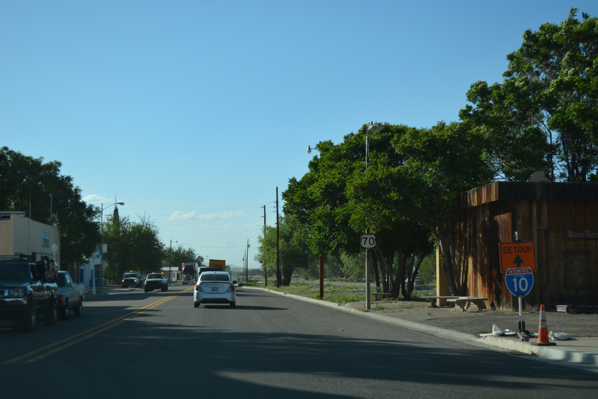
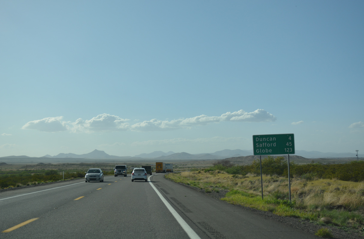
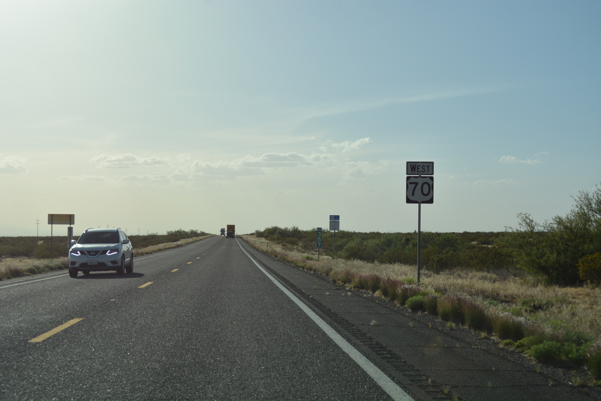
When Interstate 10 is closed west of Lordsburg, New Mexico due to reduced visibility because of blowing dust, U.S. 70 west to Safford is part of the detour.
04/25/17
04/25/17
04/25/17

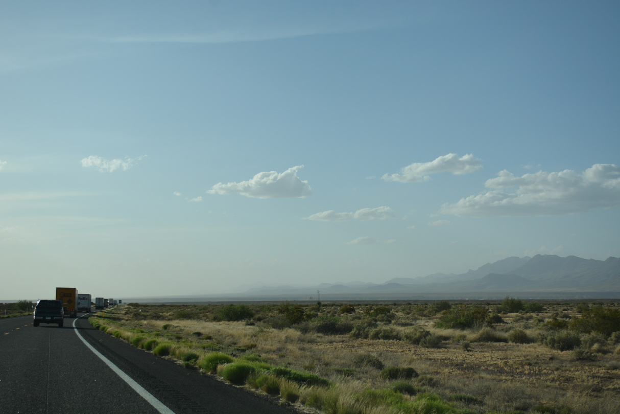
U.S. 70 leaves the town of Duncan ahead of Whitefield Wash and 38 miles from Safford.
04/25/17
04/25/17
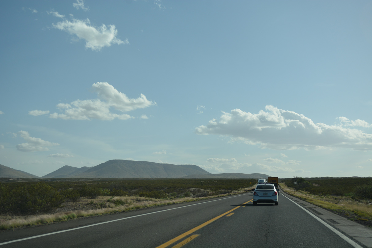
Turning southwest from Fox, U.S. 70 gains three feet in elevation. The Peloncillo Mountains appear to the far southwest.
04/25/17
04/25/17
04/25/17
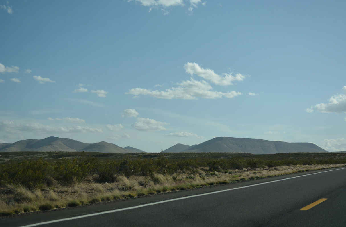
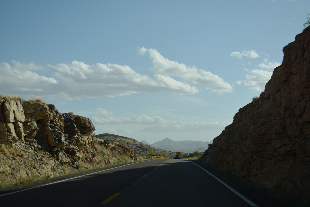
U.S. 70 makes a gradual turn to the northwest across the Peloncillo Mountains.
04/25/17
04/25/17
04/25/17
04/25/17
04/25/17

04/25/17
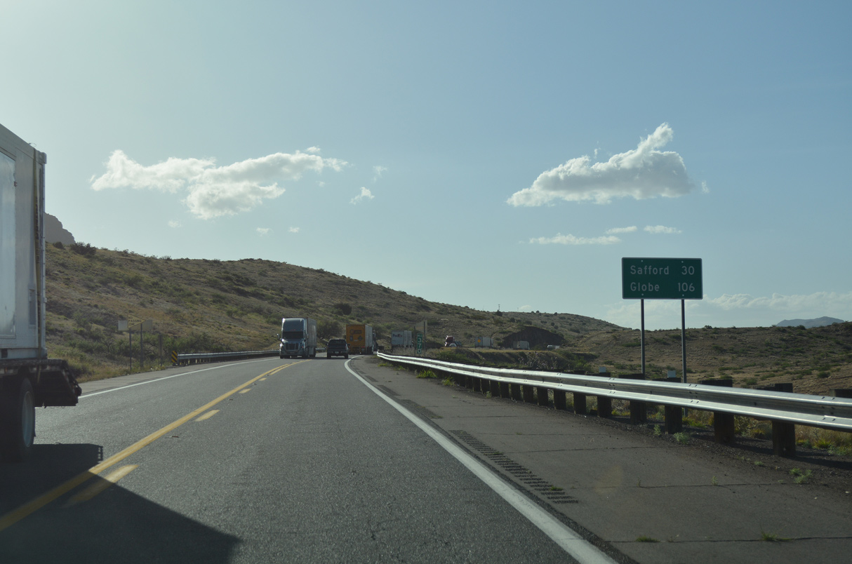
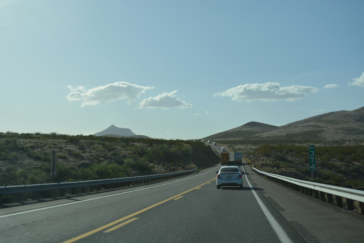
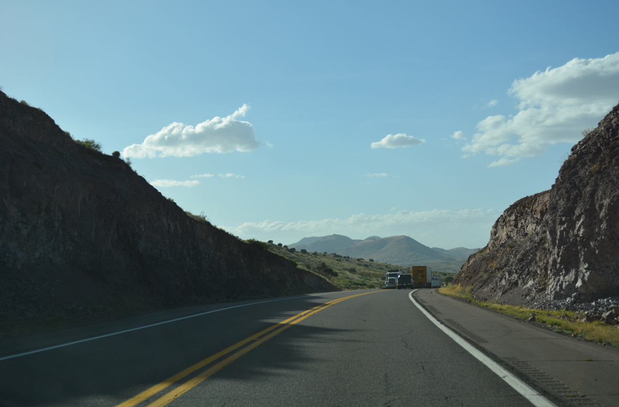
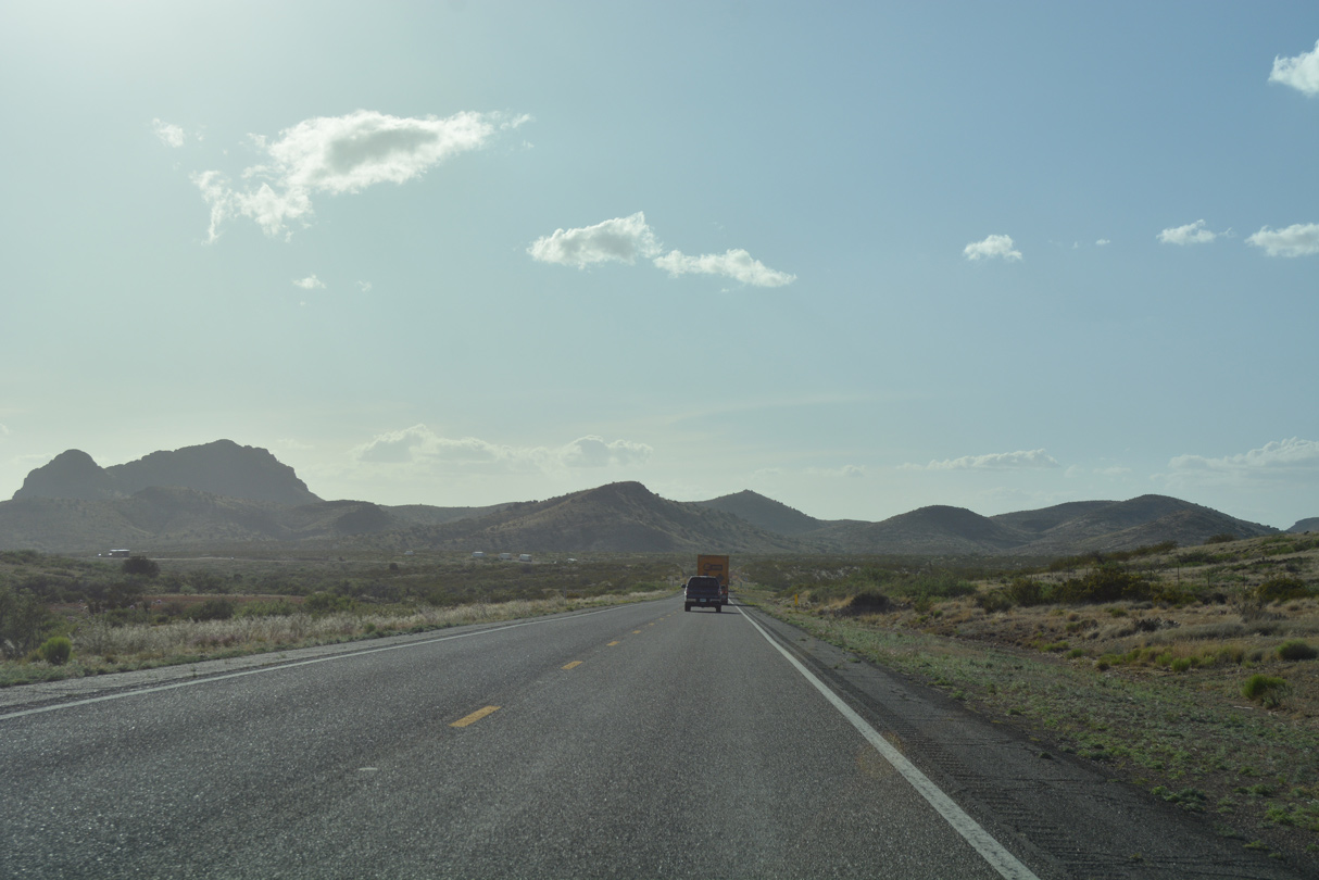
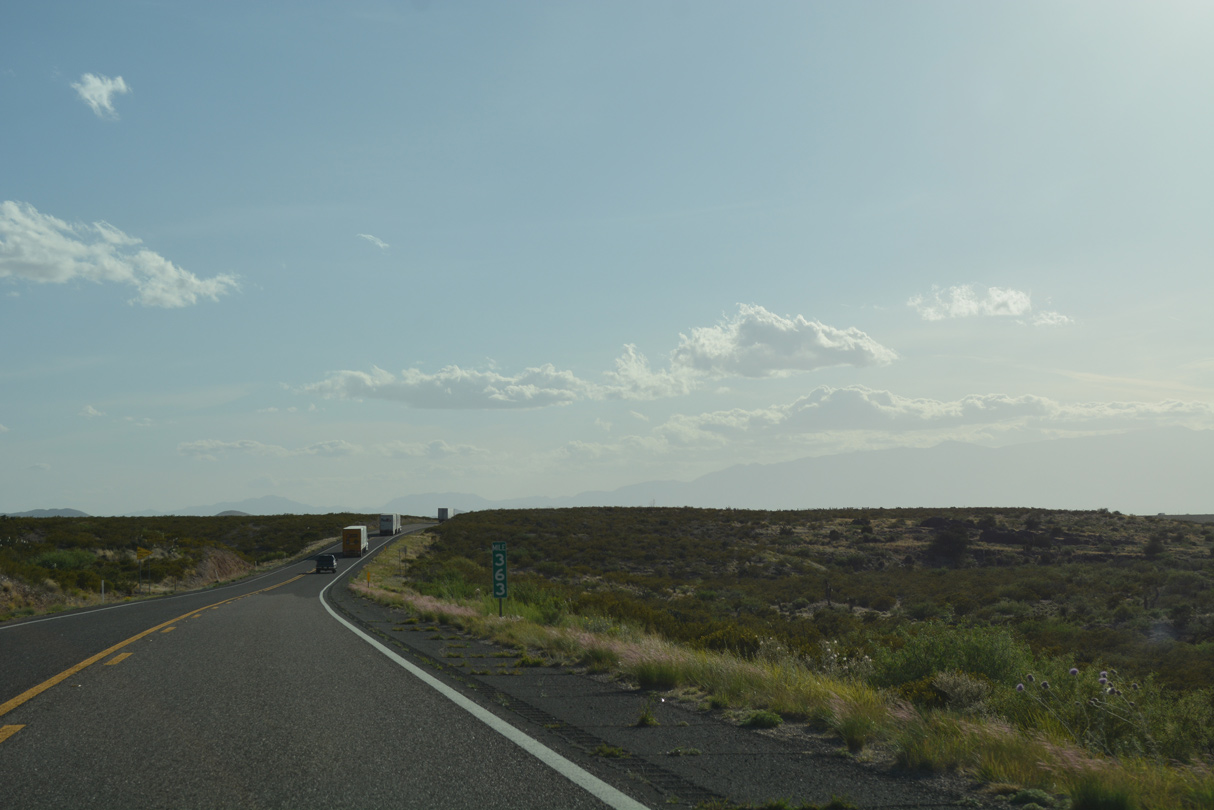
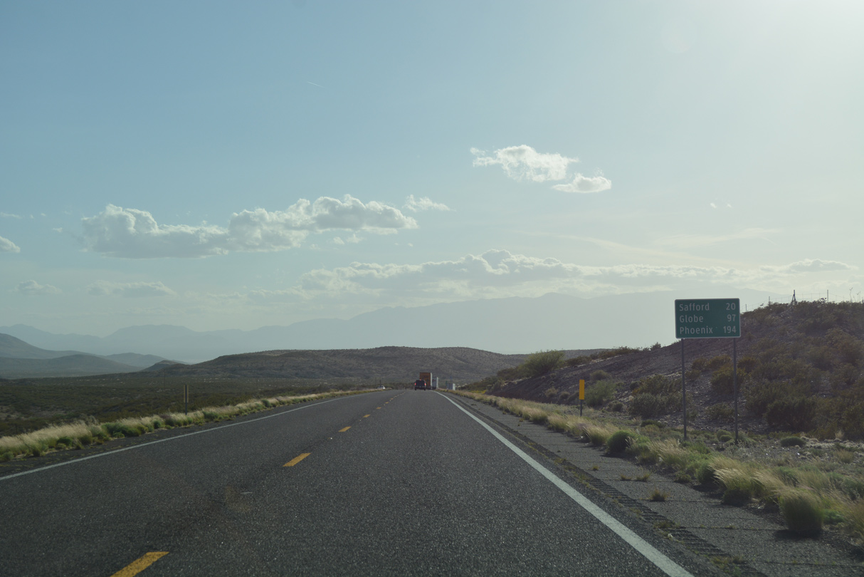
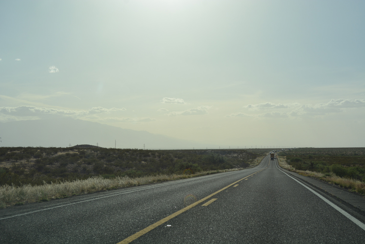
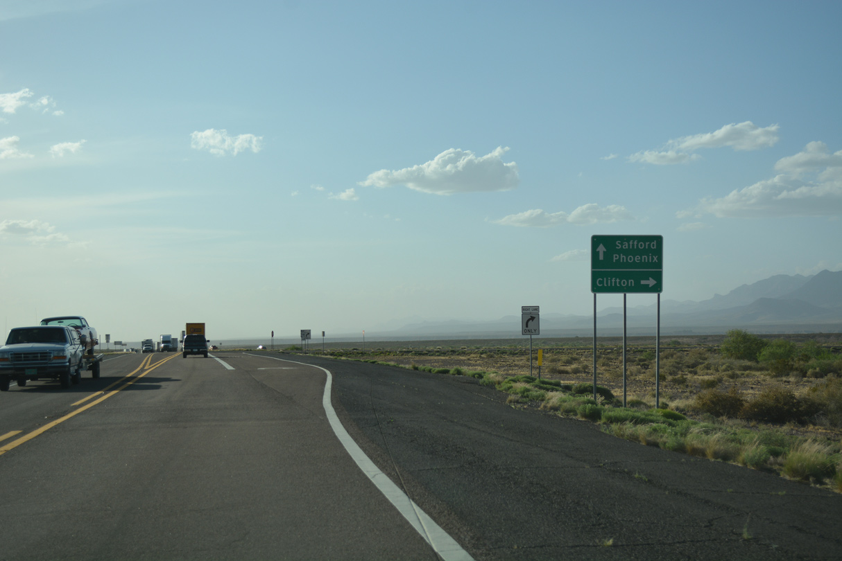
Safford is 30 miles west of mile marker 370.
04/25/17
04/25/17
04/25/17
04/25/17
04/25/17
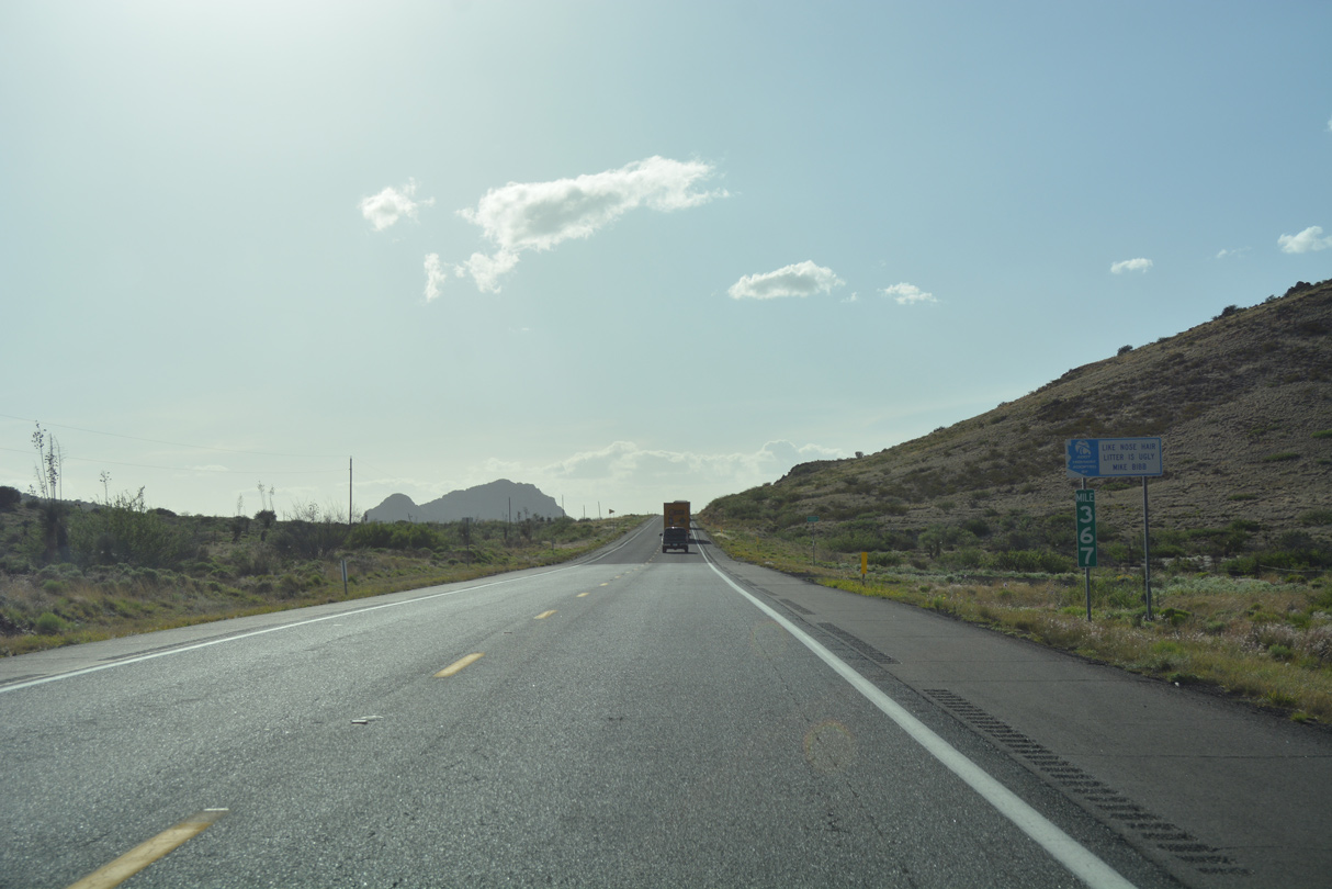
Mile marker 367 precedes the Graham County line.
04/25/17
04/25/17
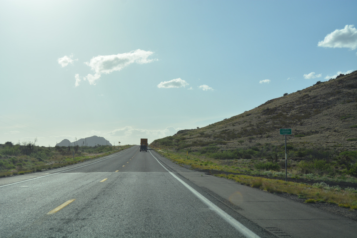
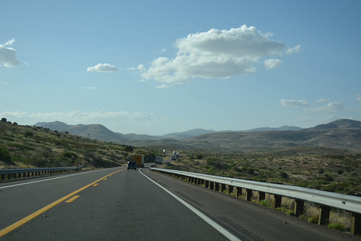
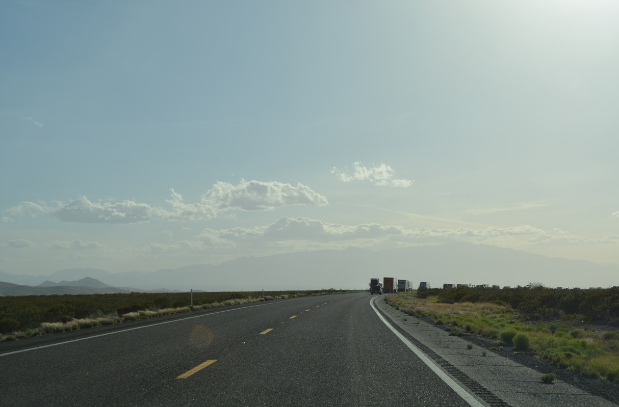
U.S. 70 travels 18.71 miles west across Greenlee County into Graham County south of Rhyolite Peak.
04/25/17
04/25/17
04/25/17

04/25/17
04/25/17
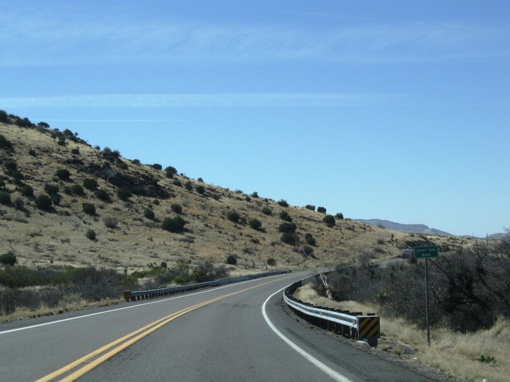
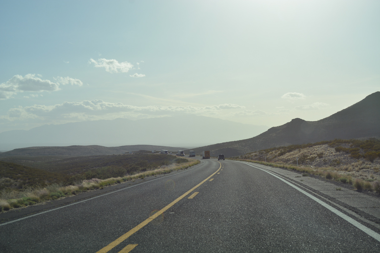
U.S. 70 crosses Shoat tank Wash south of Slick Rock Basin.
03/01/09
03/01/09
04/25/17
04/25/17

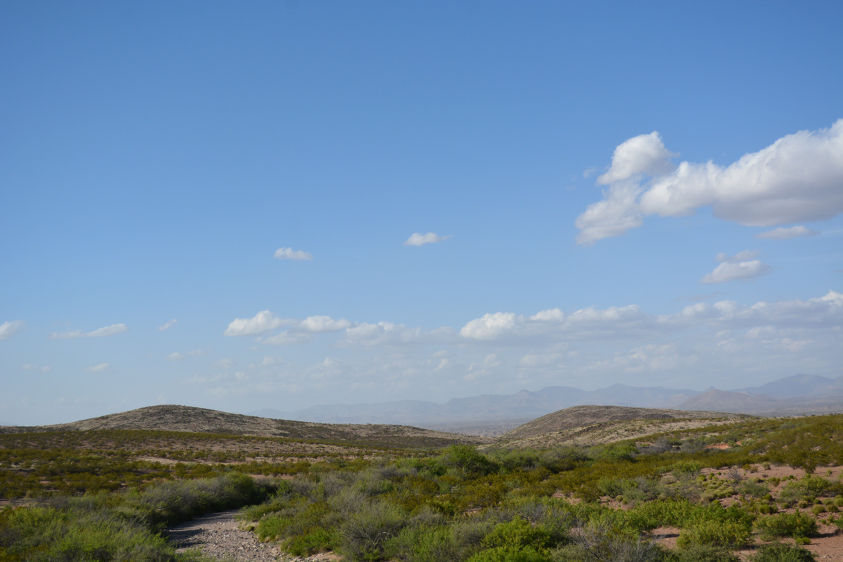
Looking north toward the Black Hills.
04/25/17
04/25/17
U.S. 70 navigates through an S-curve south of the Twin Knolls.
04/25/17
04/25/17
04/25/17
04/25/17
The Twin Knolls
04/25/17
04/25/17
04/25/17

03/01/09
Reassurance marker at mile marker 357.
04/25/17
04/25/17

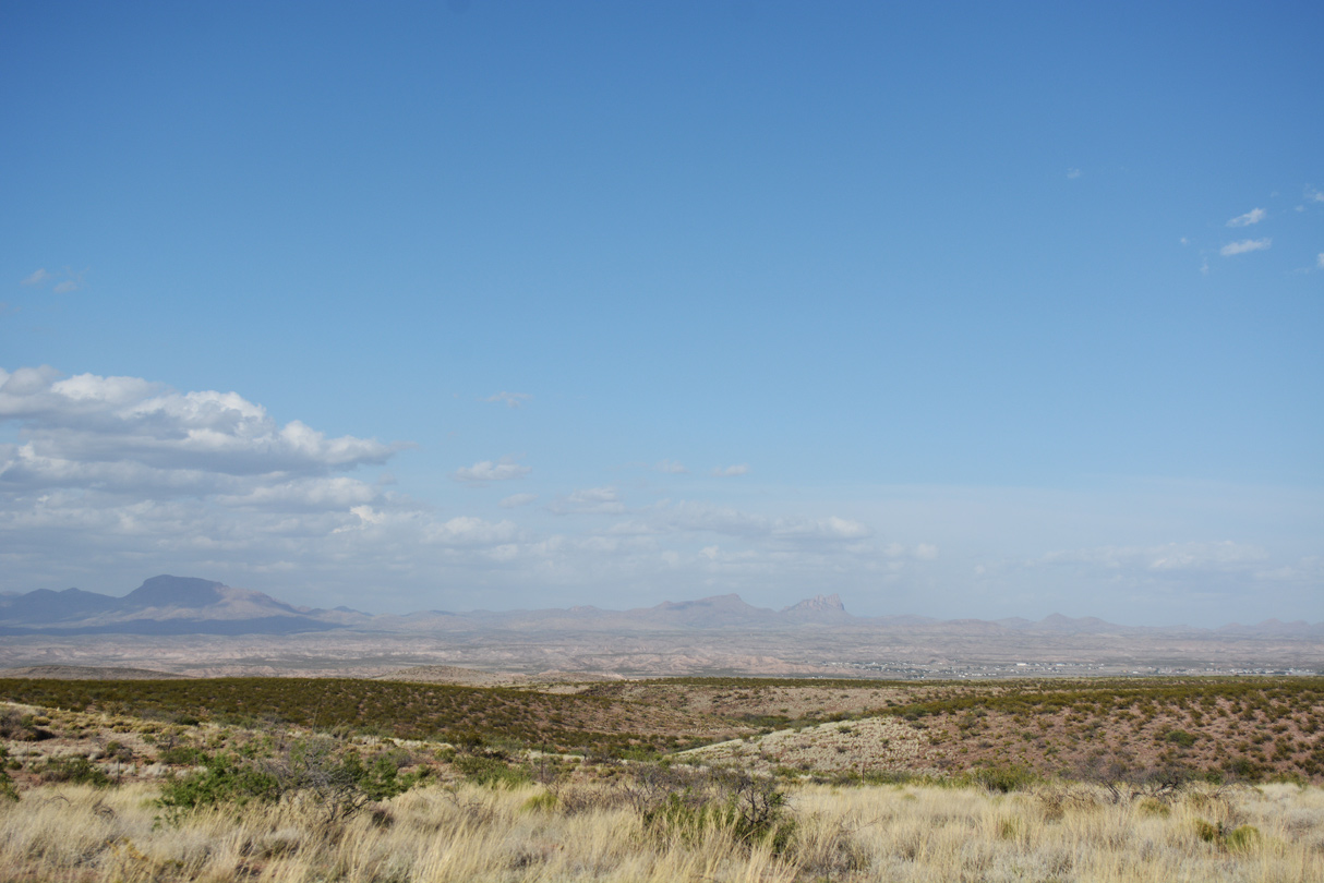
The Gila Mountains
04/25/17
04/25/17
04/25/17
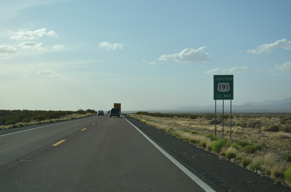
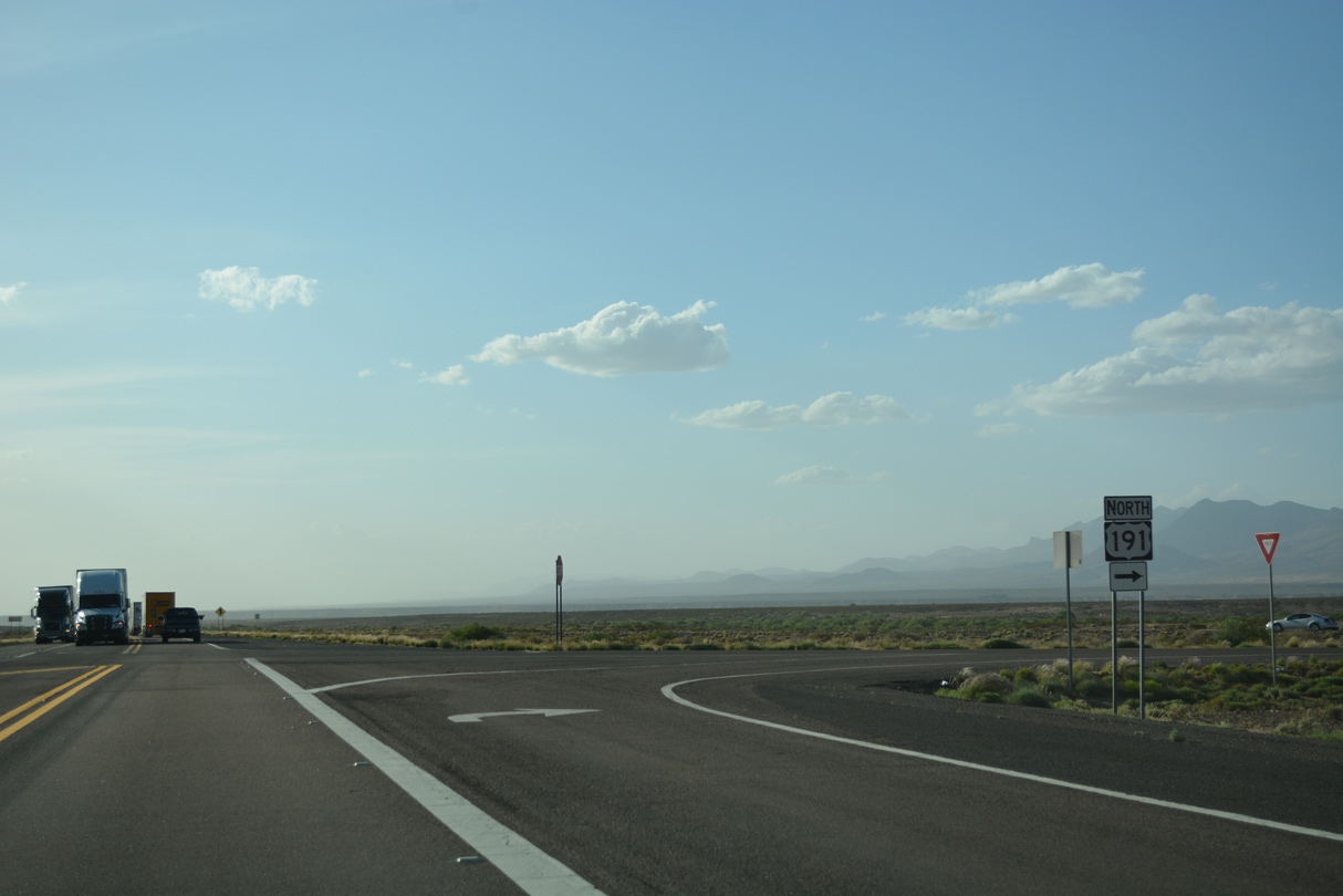
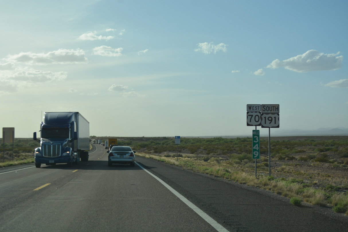
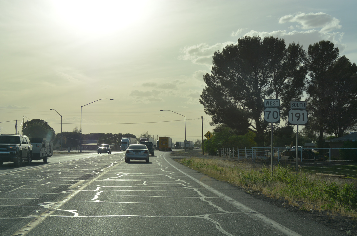
U.S. 70 converges with U.S. 191 south to the northwest of Judia Canyon.
04/25/17
04/25/17
U.S. 191 travels northeast to Three Way then northwest 32 miles to the Greenlee County seat of Clifton.
04/25/17
04/25/17
U.S. 191 replaced U.S. 666 north to Springer and Interstate 40 at Chambers in 1992.
04/25/17
04/25/17
West  South
South
U.S. 70/191 combine 10.06 miles west into the Graham County seat of Safford.
04/25/17
04/25/17
04/25/17
04/25/17
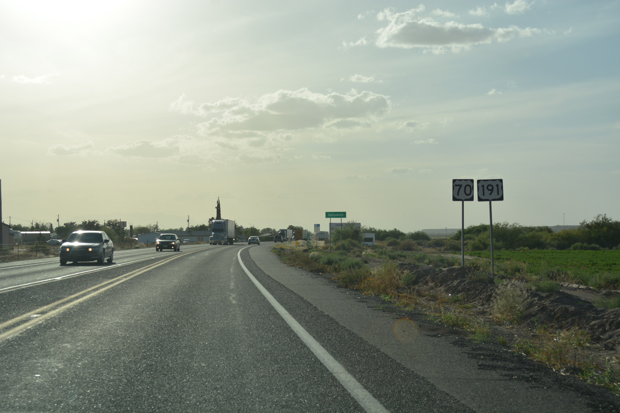
U.S. 70/191 shift north at Clifton Street into the community of Solomon.
04/25/17
04/25/17
04/25/17
04/25/17
04/25/17
Lone Star Road provides a cut off to U.S. 191 south along 1st Avenue from U.S. 70/191 by this shield assembly.
04/25/17
04/25/17
04/25/17
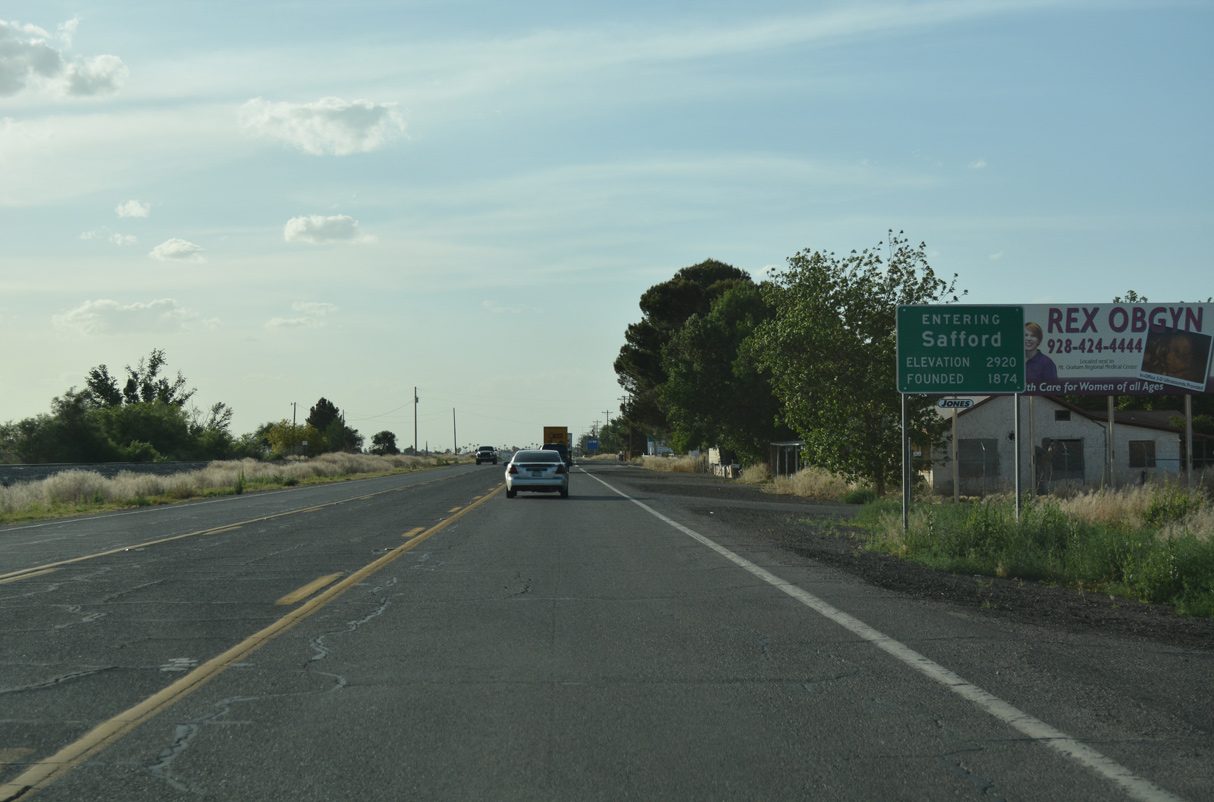
U.S. 70/191 angle northwest into the city of Safford.
04/25/17
04/25/17
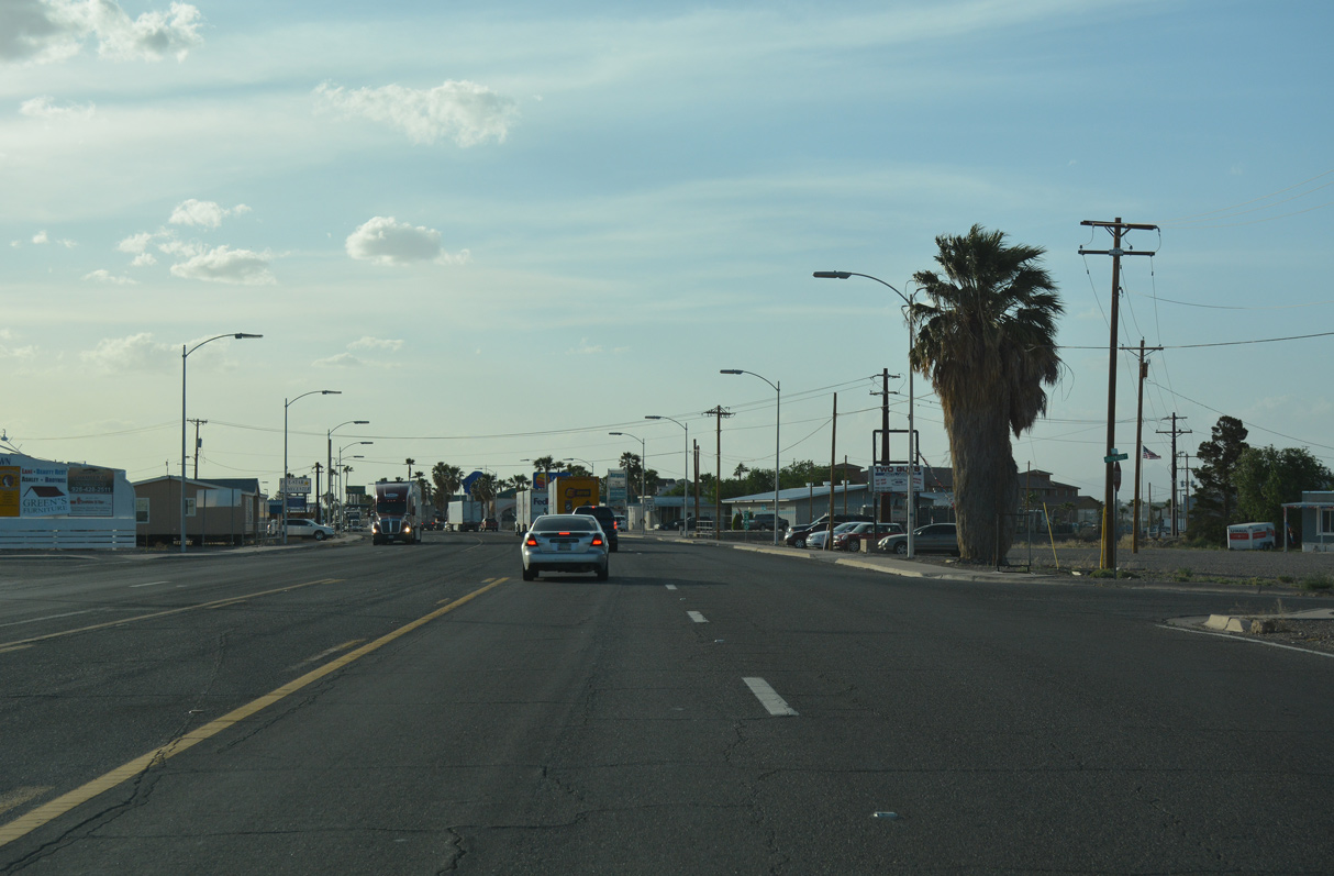
U.S. 70/191 west at Hollywood Road east and 8th Street west.
04/25/17
04/25/17
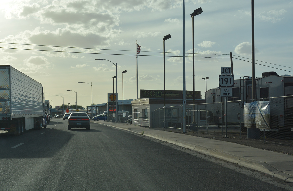
U.S. 191 separates from U.S. 70 west a quarter mile beyond Kay Lane.
04/25/17
04/25/17
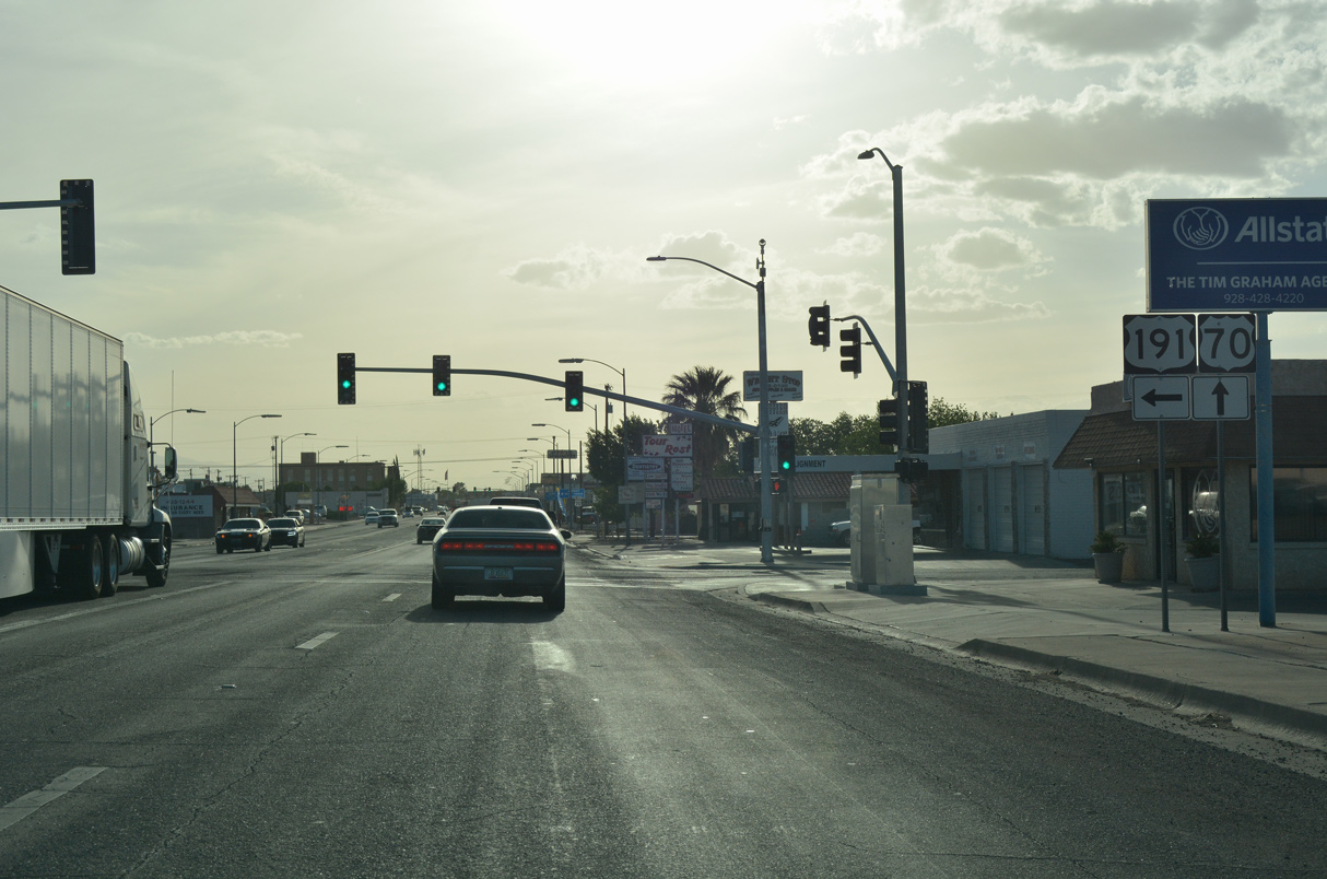
U.S. 191 turns south along 1st Avenue from U.S. 70 (5th Street) west. Passing east of Downtown Safford, U.S. 191 continues to Cactus Flat, Swift Trail Junction and I-10 northeast of Willcox.
04/25/17
04/25/17
Photo Credits:
- ABRoads: 04/25/17
- Andy Field: 03/01/09
Connect with:
Page Updated Friday April 29, 2022.