
U.S. 70 West - Goldsboro to Selma

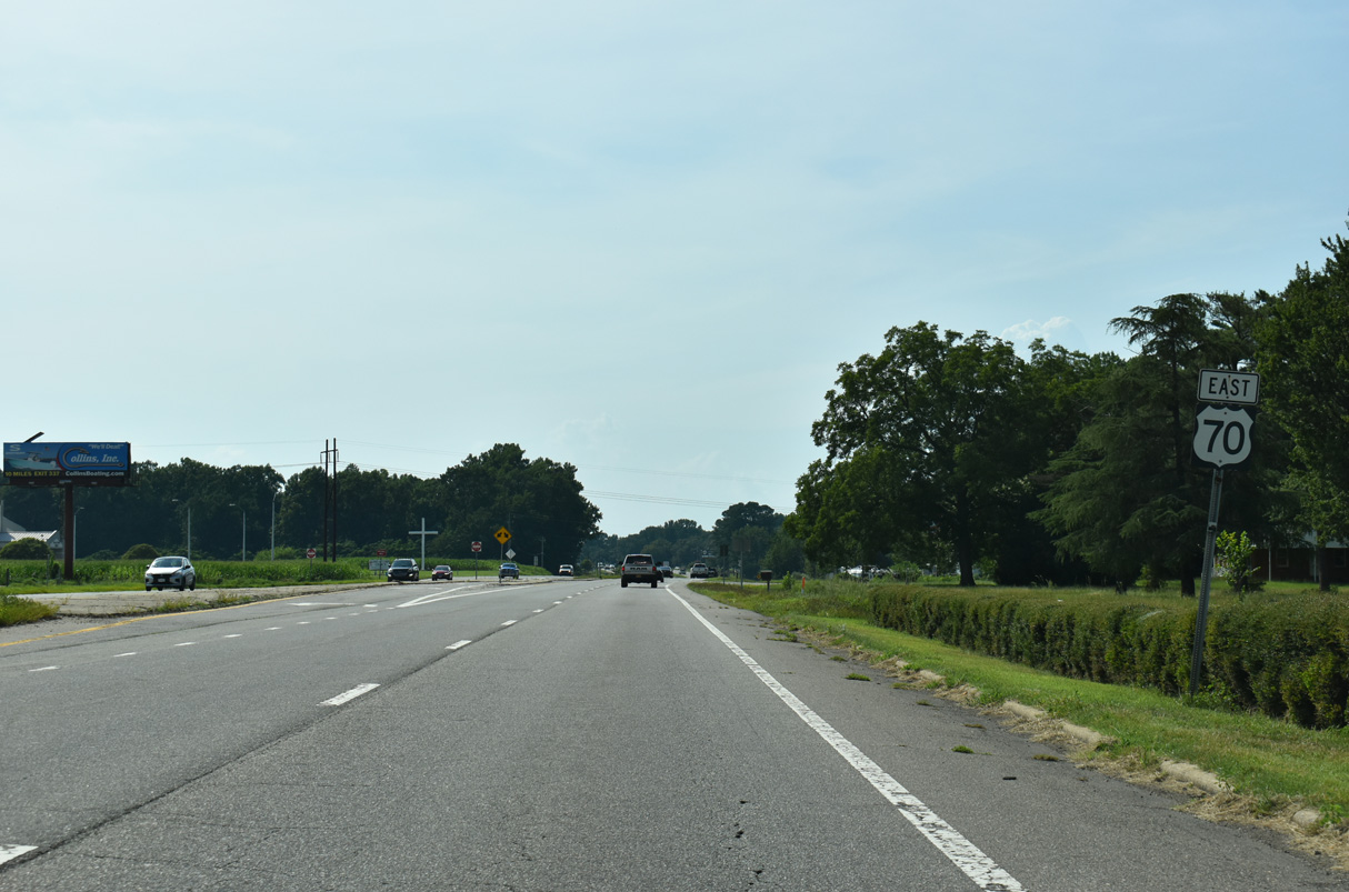
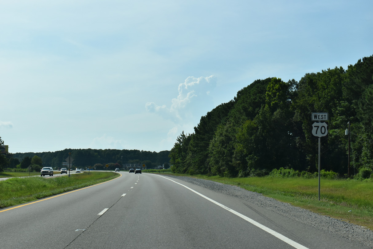
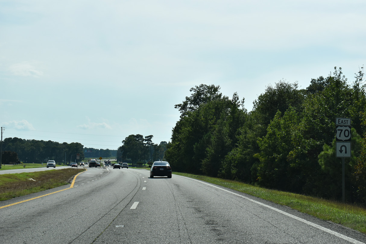
U.S. 70 reassurance marker posted west at the R-CUT intersection with Capps Bridge Road (SR 1234) north and Ebenezer Church Road (SR 1234) south.
07/29/25
07/29/25
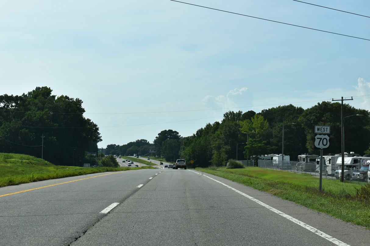
Whitley Church Road (SR 1232) stems 1.02 miles south from U.S. 70 to E Evans Road (SR 1231) beyond this shield assembly.
07/29/25
07/29/25
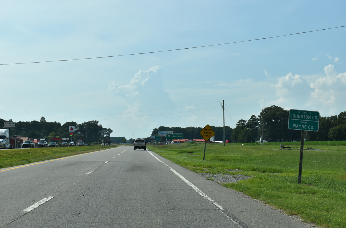
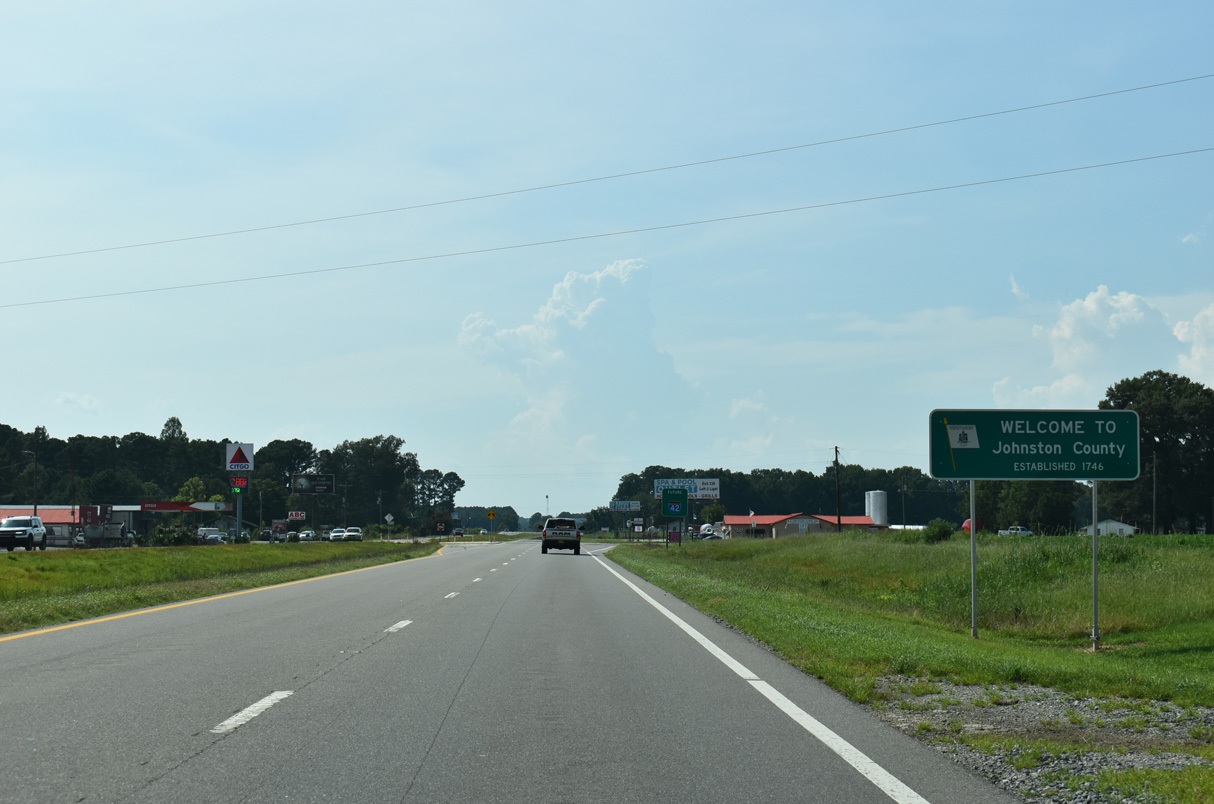
U.S. 70 enters Johnston County just west of Luby Smith Road (SR 1229).
07/29/25
07/29/25
07/29/25

A Future I-42 corridor sign along U.S. 70 westbound precedes Old Cornwallis Road (SR 2371) north.
07/29/25
07/29/25
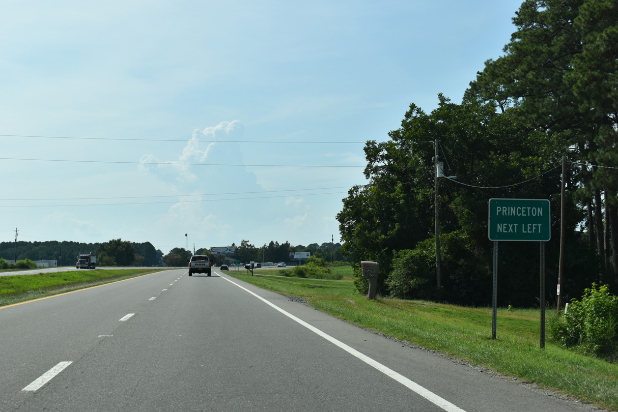
Dr. Donnie H. Jones, Jr. Boulevard branches west into the town of Princeton while U.S. 70 shifts northward onto along a controlled access arterial bypass.
07/29/25
07/29/25
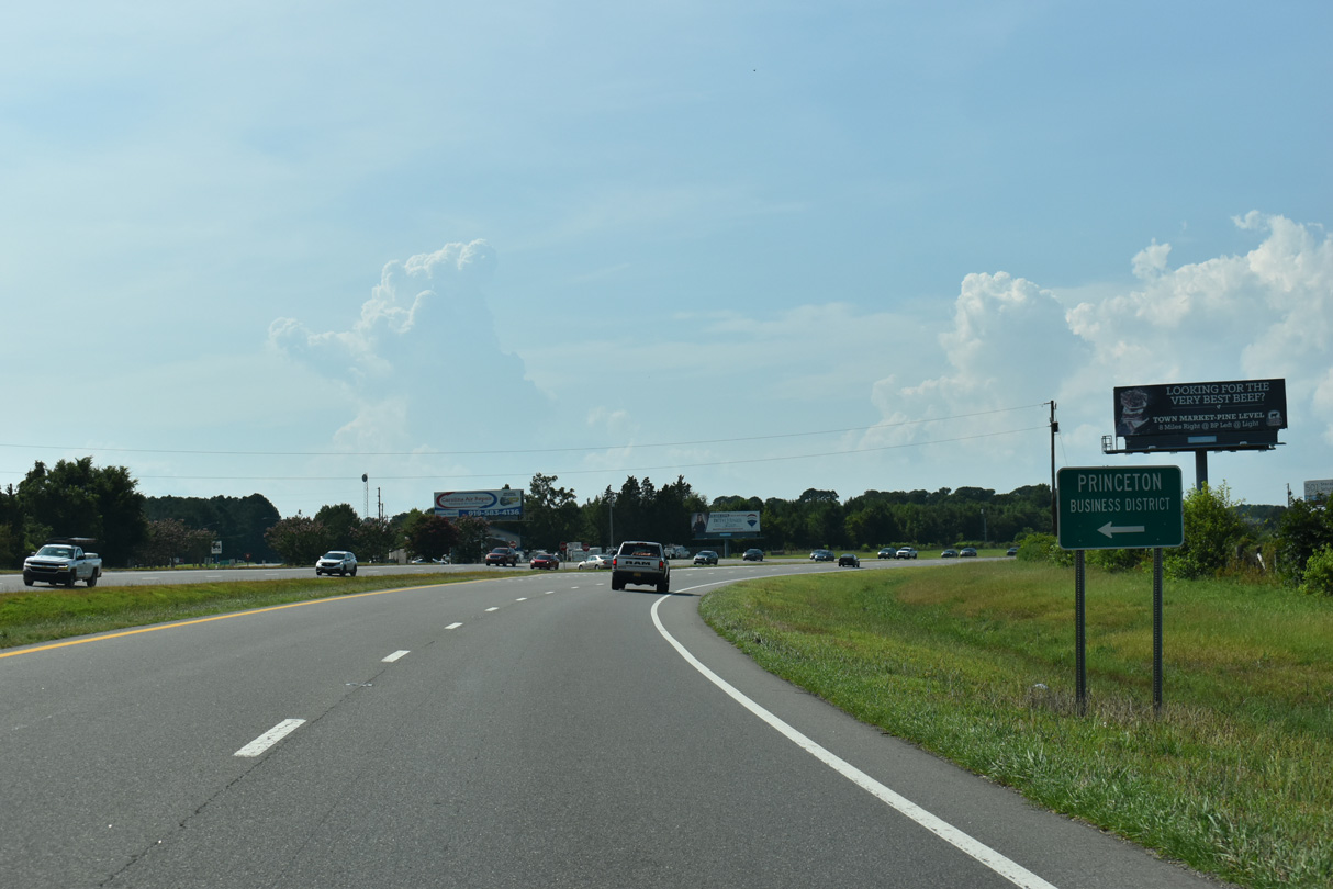
Dr. Donnie H. Jones, Jr. Boulevard is the former alignment of U.S. 70 across Princeton.
07/29/25
07/29/25
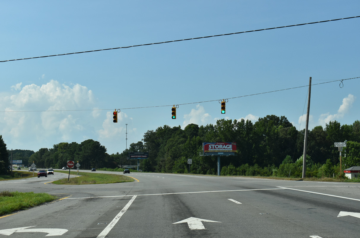
N Pearl Street ties into U.S. 70 from Princeton across from Edwards Road (SR 2372).
07/29/25
07/29/25

07/29/25
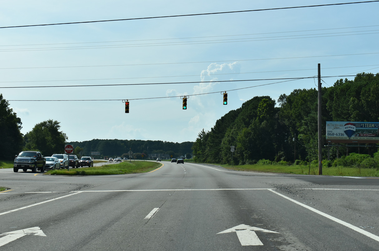
N Pine Street leads south from U.S. 70 at Rains Mill Road (SR 1002) to the Princeton town center.
07/29/25
07/29/25
07/29/25
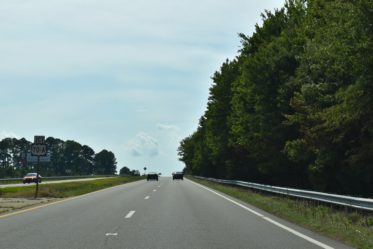
Curving west, U.S. 70 spans a Norfolk Southern Railroad line ahead of U.S. 70A west to Pine Level.
07/29/25
07/29/25
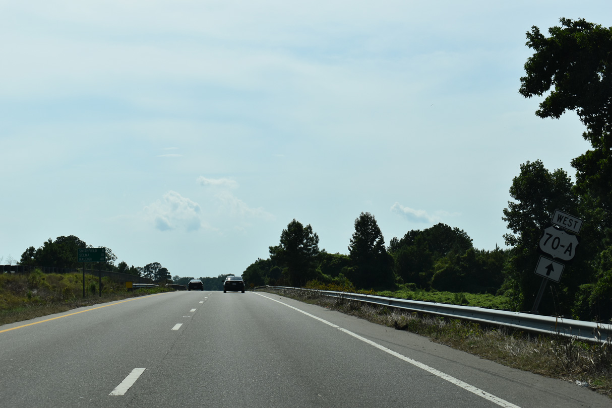
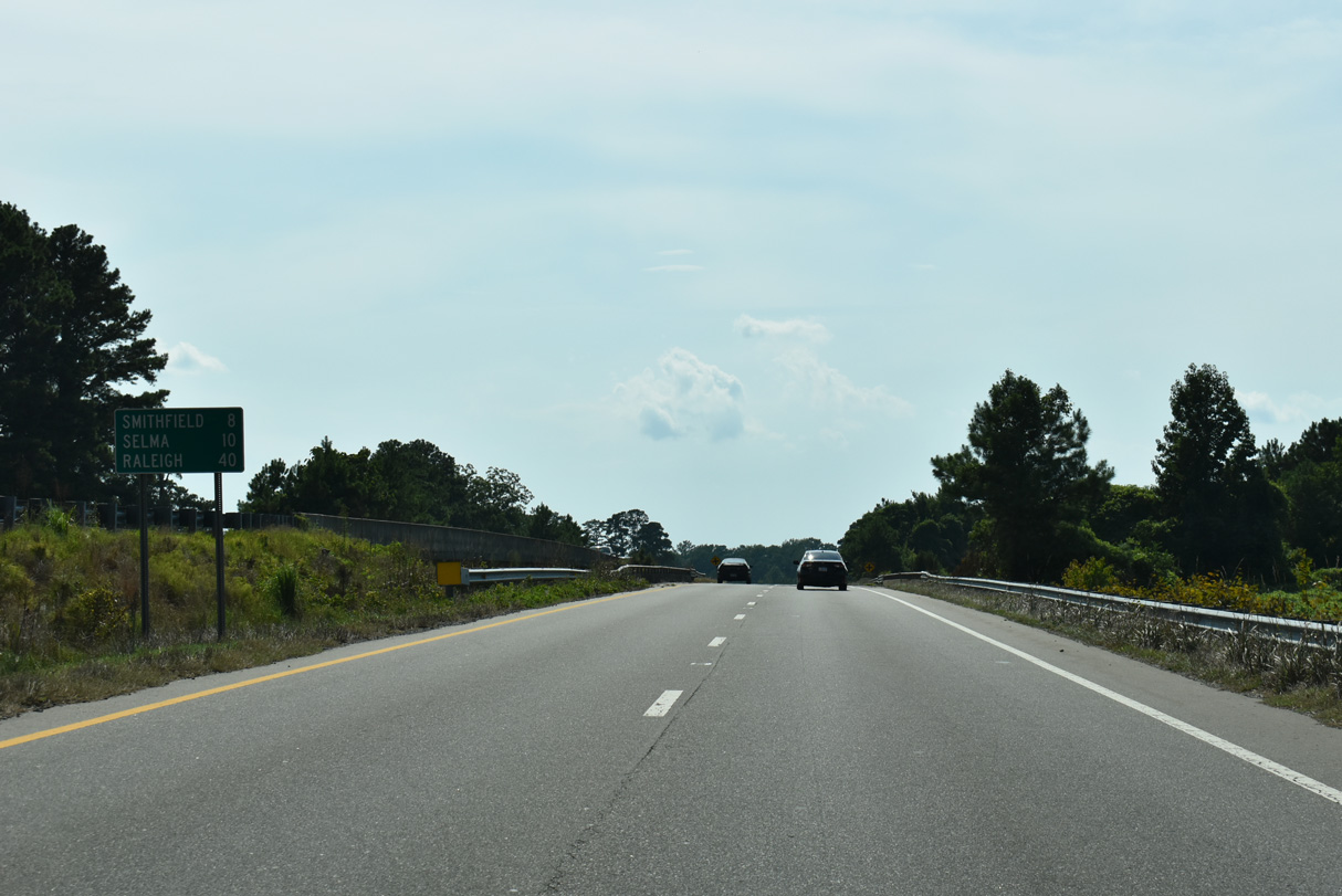
Downtown Selma is 10 miles via U.S. 70 and 8 miles via U.S. 70A, the old alignment of U.S. 70 to the north through Pine Level.
07/29/25
07/29/25
07/29/25
U.S. 70A travels 6.94 miles west to U.S. 70 near Interstate 95.
07/29/25
07/29/25
07/29/25
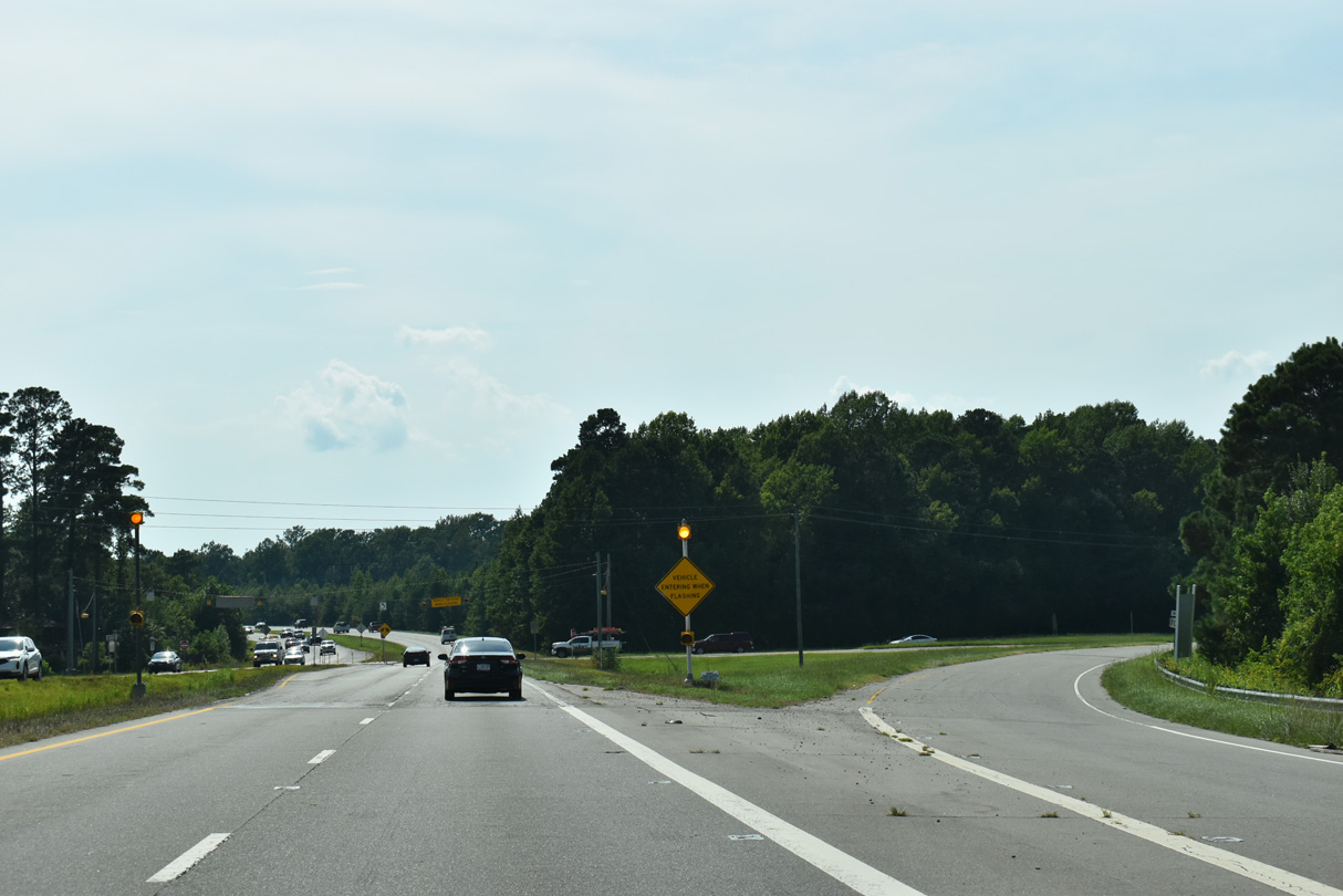
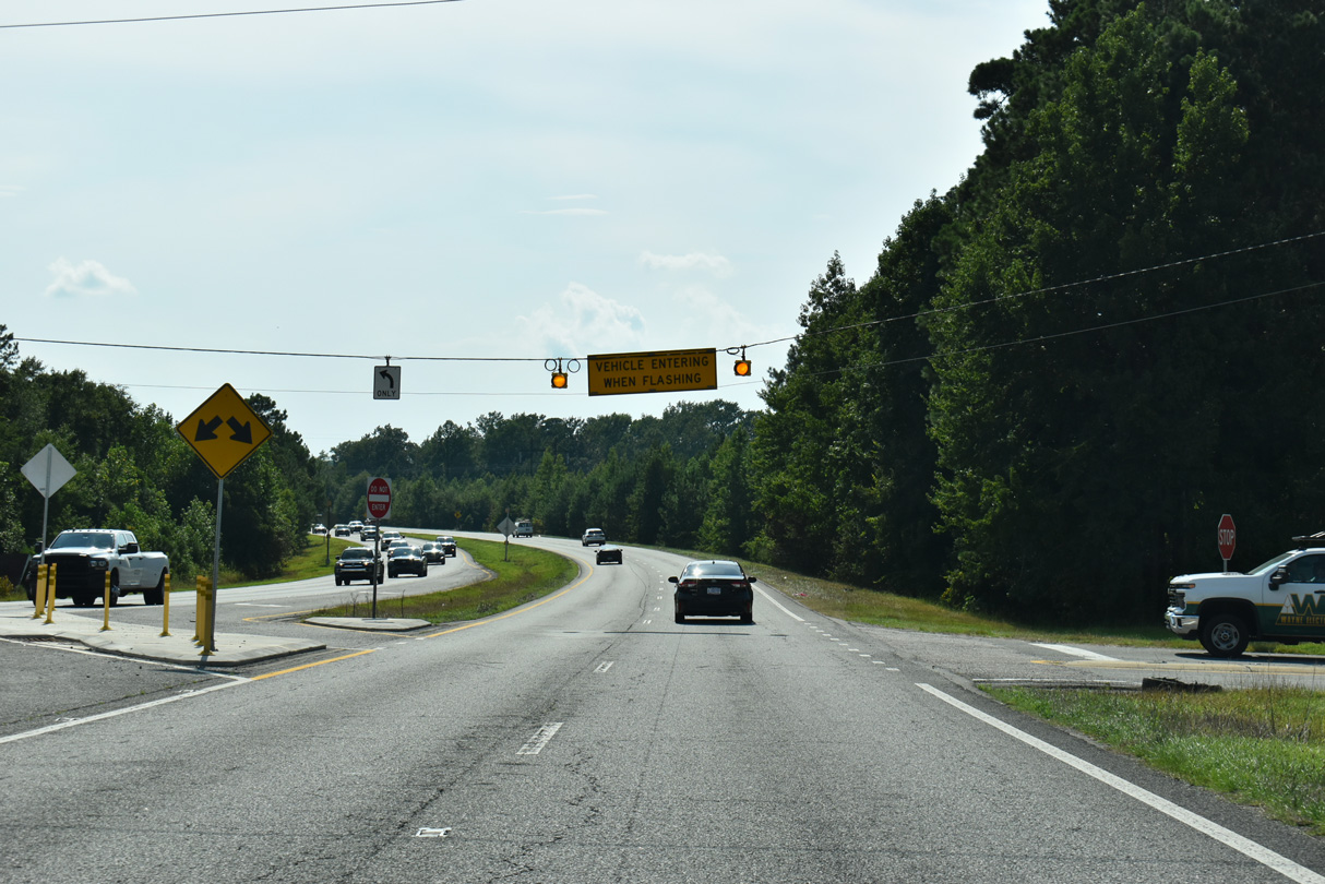
The U-turn west of Holts Pond allows motorists from Pondfield Road (SR 2314) south to access U.S. 70 eastbound.
07/29/25
07/29/25
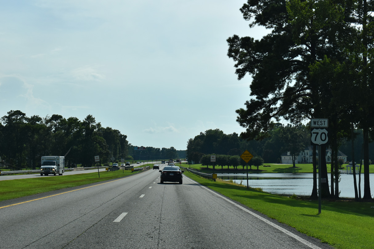
U.S. 70 crosses Holts Pond west of Pondfield Road.
07/29/25
07/29/25
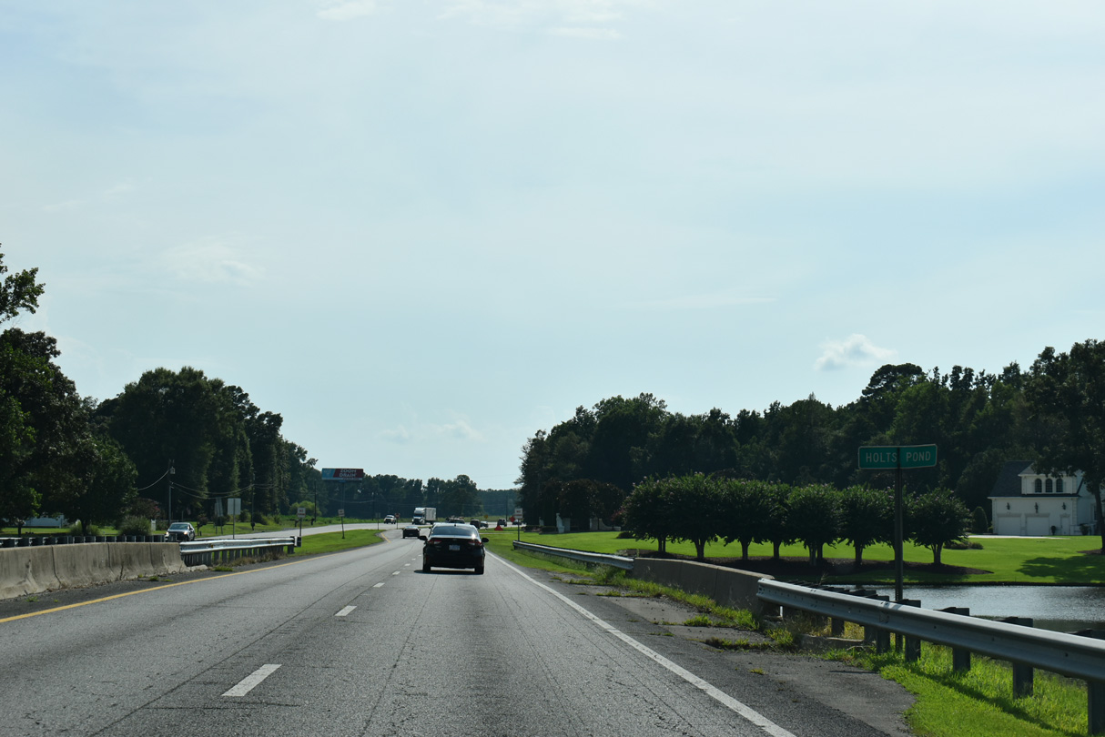
Holts Pond is along Moccasin Creek.
07/29/25
07/29/25
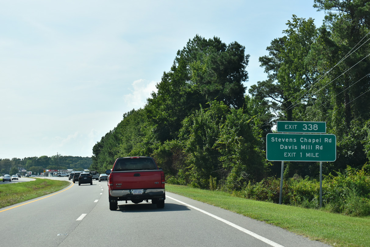
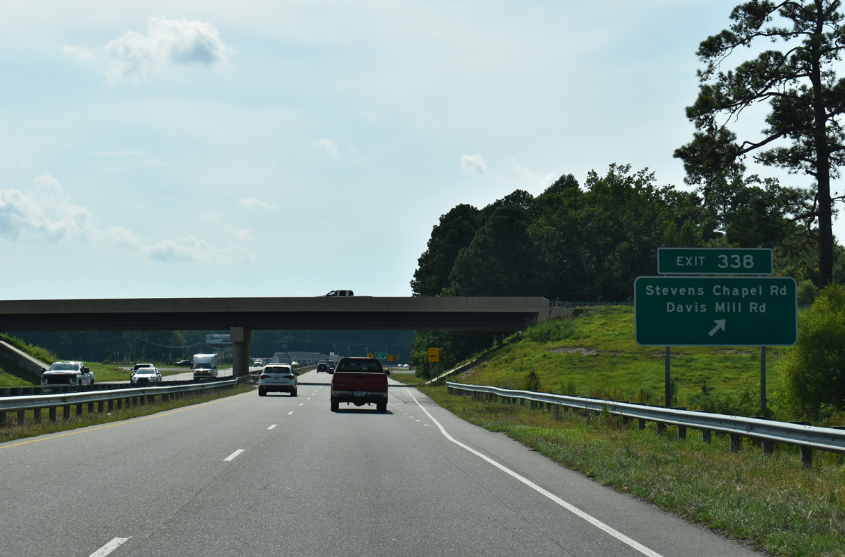
Davis Mill Road (SR 2310) south and Steven's Chapel Road (SR 2310) north come together a the folded diamond interchange (Exit 338) with U.S. 70 in one mile.
07/29/25
07/29/25
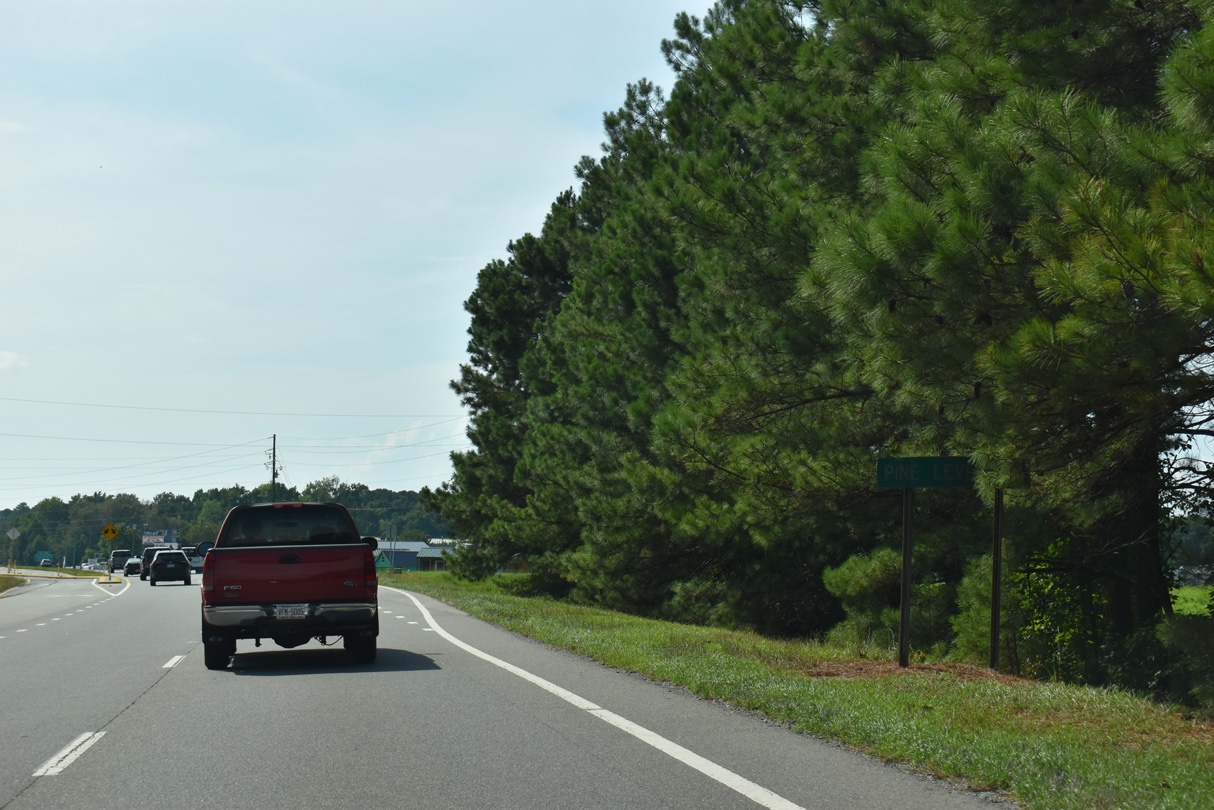
Country Store Road (SR 2312) leads 1.76 miles north to U.S. 70A at N Pine Street in the town of Pine Level.
07/29/25
07/29/25
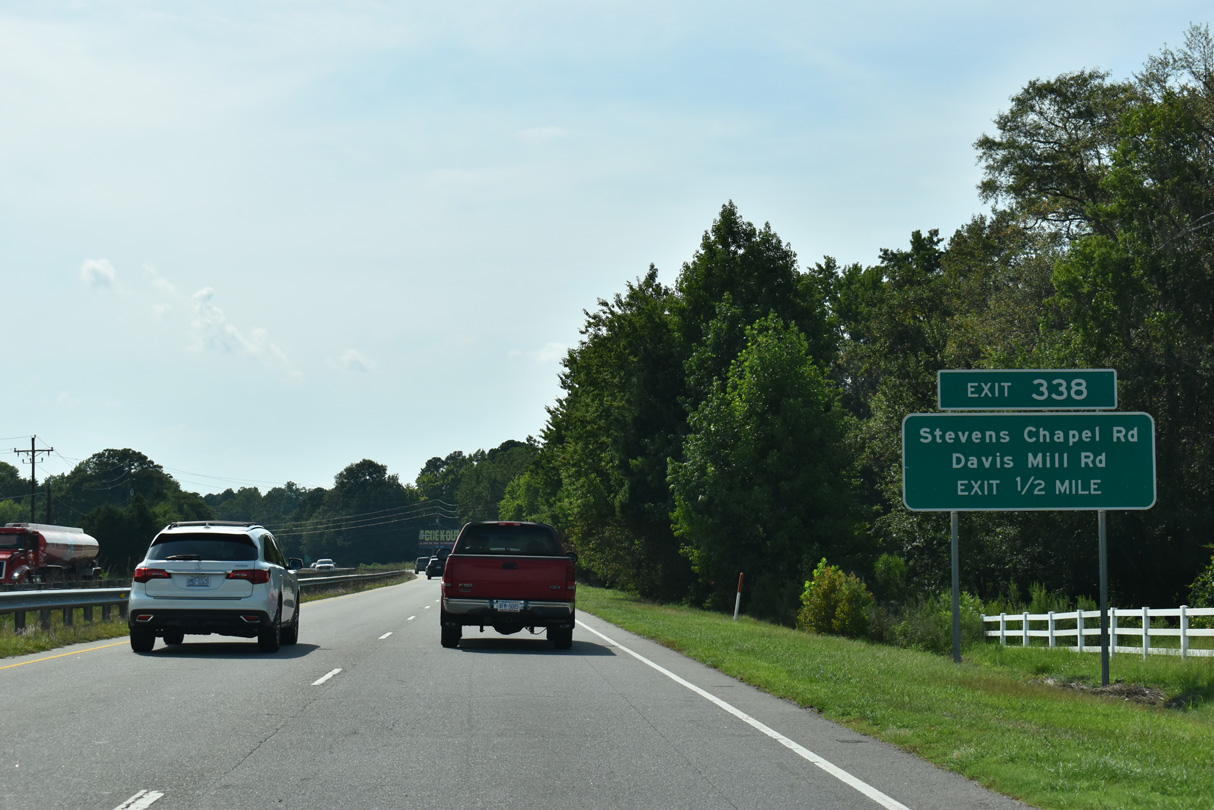
The exchange joining U.S. 70 with Steven's Chapel Road south and Davis Mill Road north was completed in 2017.
07/29/25
07/29/25
07/29/25
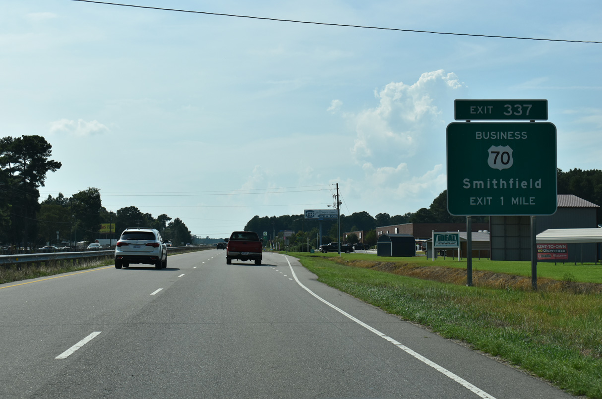
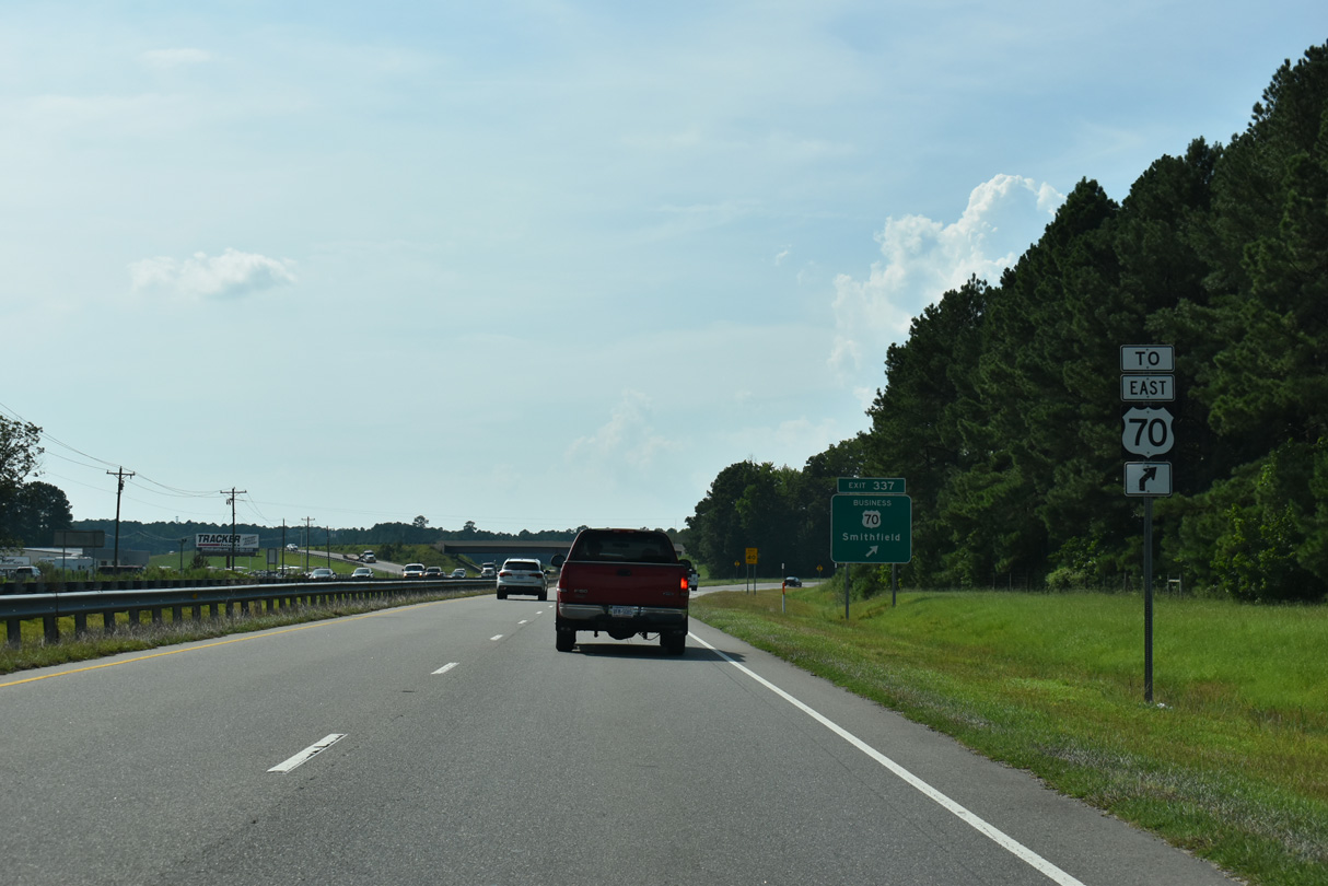
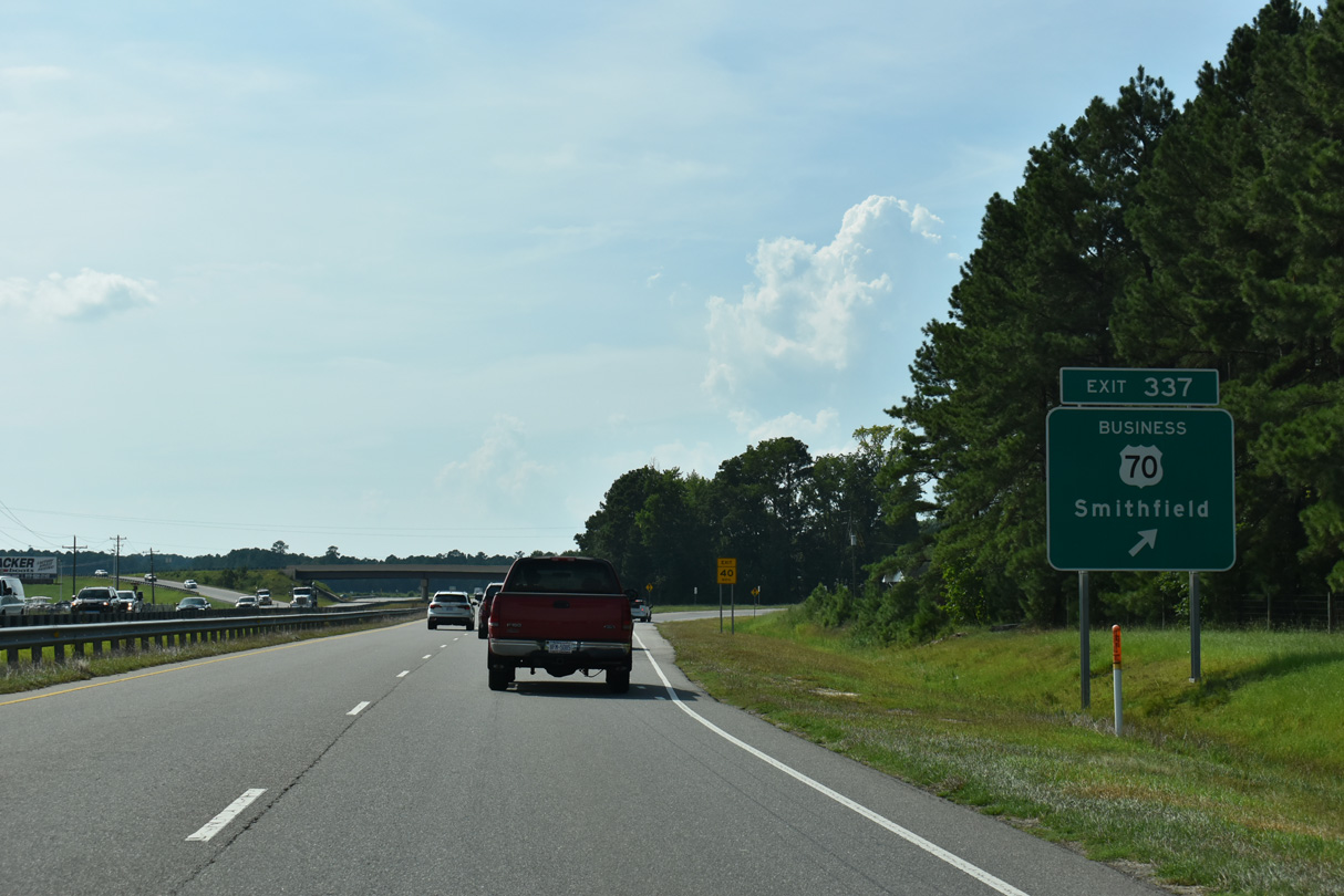
U.S. 70 Business west to Smithfield begins at the parclo A2 interchange at Exit 337 in one mile.
07/29/25
07/29/25
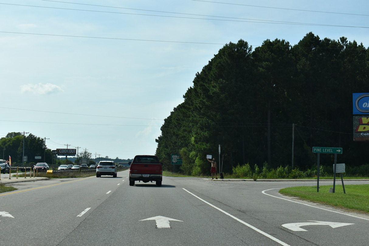
Peedin Road (SR 2309) heads north from an RIRO intersection with U.S. 70 to Pine Level.
07/29/25
07/29/25

Cross traffic at Peedin Road north and Creech's Mill Road (SR 2597) south was eliminated at U.S. 70 by 2018.
07/29/25
07/29/25
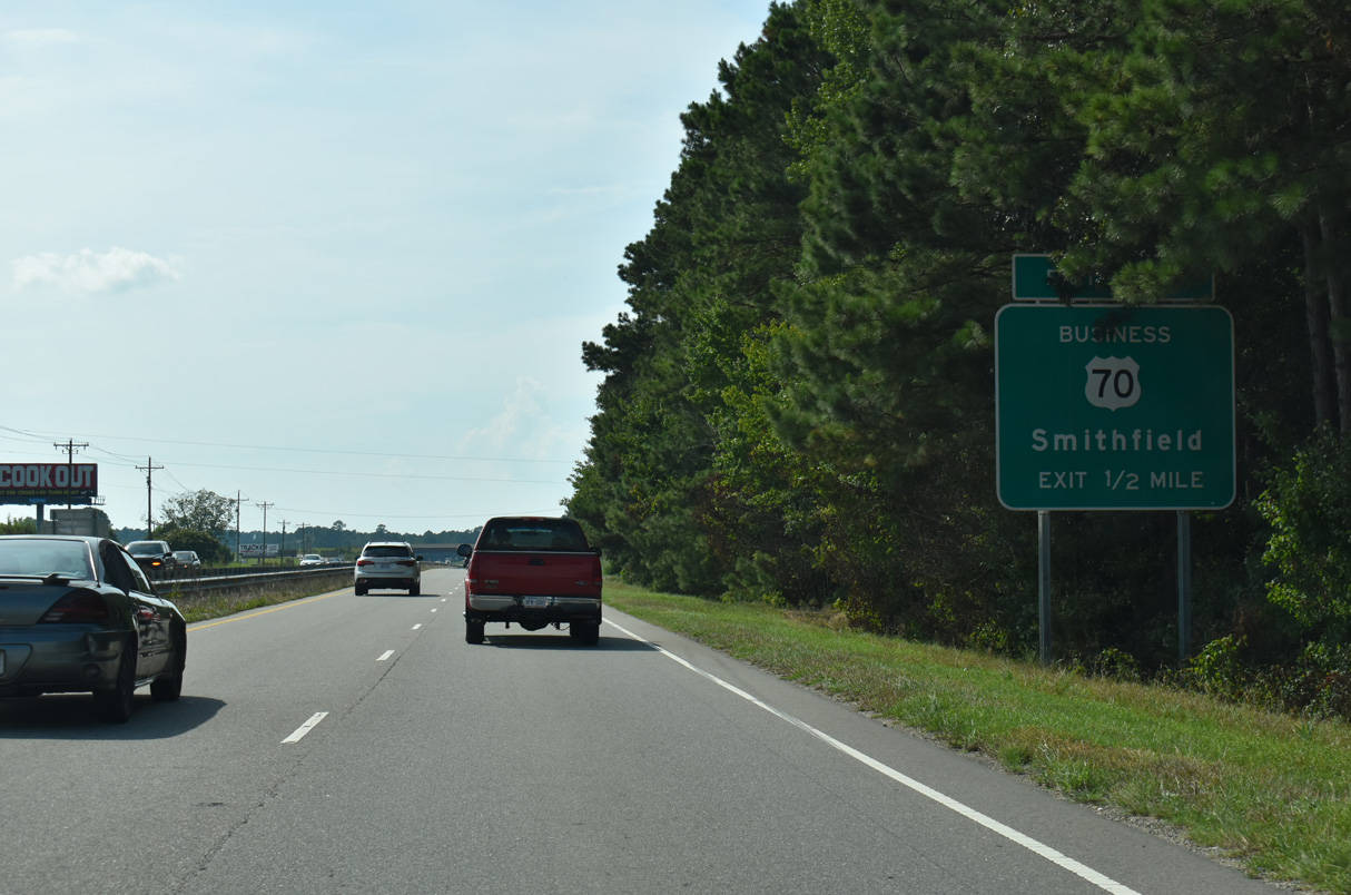
Measuring 23.66 miles west to I-40 at Garner, U.S. 70 Business loops south from U.S. 70 to Smithfield then north into Clayton.
07/29/25
07/29/25
The ramps at Exit 337 provide a turnaround to U.S. 70 eastbound for Peedin Road south.
07/29/25
07/29/25
Peeden Street Extension (SR 2308) west, Gor-An Farm Road (SR 2307) south and Woods Road (SR 2513) all tie into the exchange with U.S. 70 Business at Exit 337.
07/29/25
07/29/25
07/29/25
U.S. 70 turns northward from Exit 337 parallel to Bawdy Swamp.
07/29/25
07/29/25
07/29/25
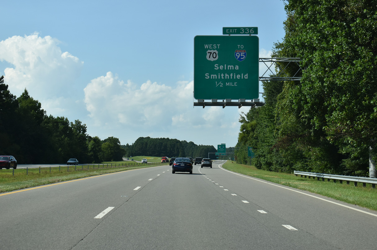
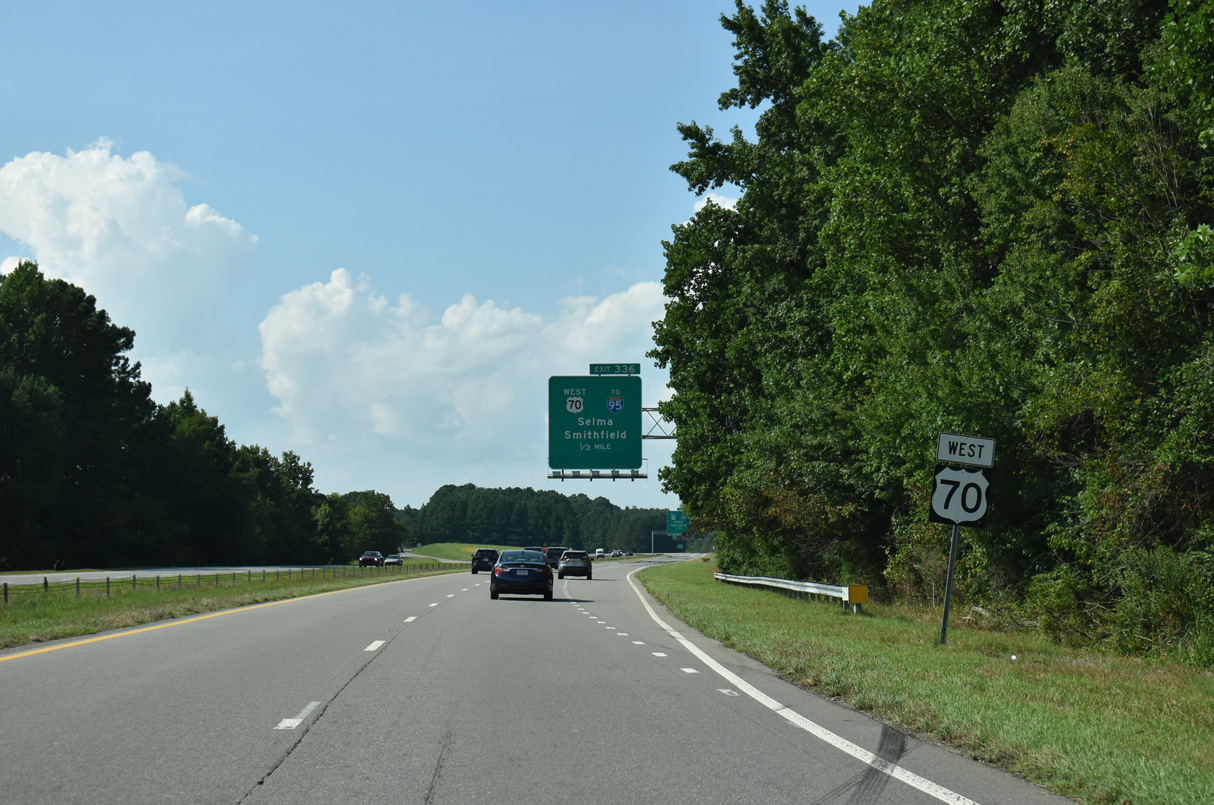
U.S. 70 separates with U.S. 70 Bypass at a wye interchange (Exit 336) in a half mile.
07/29/25
07/29/25
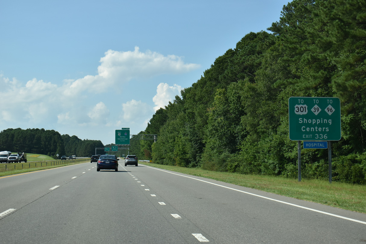
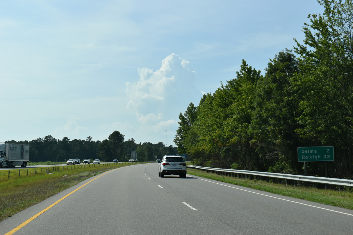
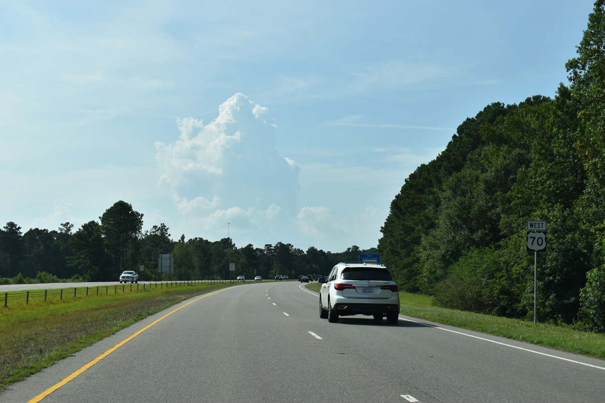
U.S. 70 shifts north onto an arterial from Exit 336 to U.S. 70A, I-95 and U.S. 301/NC 39-96 in Selma.
07/29/25
07/29/25

There is no access from U.S. 70 Bypass/Future I-42 to Interstate 95. Instead a Breezewood connection joins the freeway with I-95 via U.S. 70.
07/29/25
07/29/25
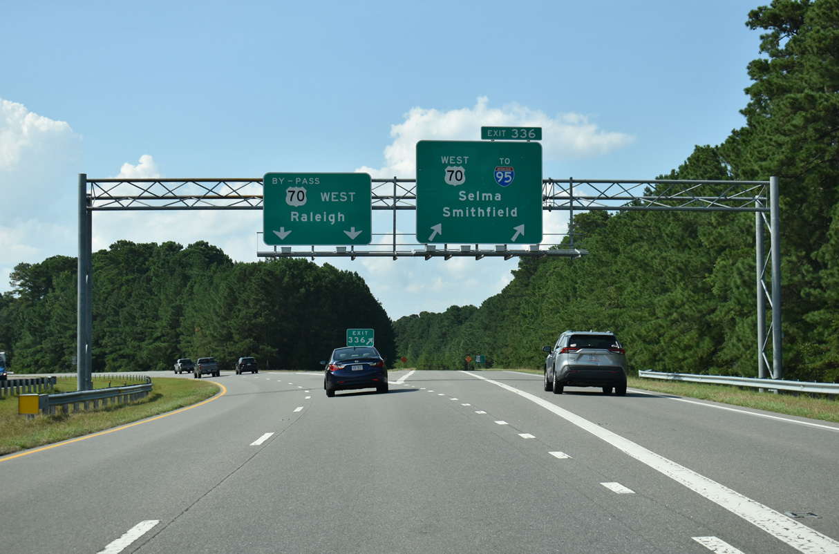
The ensuing 2.63 miles of freeway west from Exit 336 is U.S. 70 Bypass and Future I-42. Interstate 95 crosses U.S. 70 southwest to Fayetteville and northeast to Wilson and Rocky Mount.
07/29/25
07/29/25

Photo Credits:
- Brent Ivy: 07/29/25
Connect with:
Page Updated Friday December 12, 2025.