
U.S. 74 West - Wrightsville Beach to Wilmington

 West
West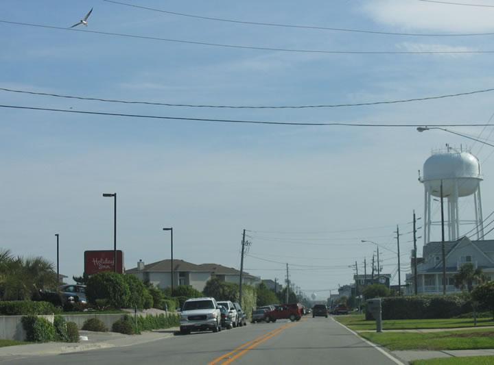
U.S. 74 originates at a cul-de-sac at the north end of Wrightsville Beach. Lumina Avenue leads the US route south 1.73 miles to Salisbury Street. This view looks southbound at Conch Lane.
05/29/05
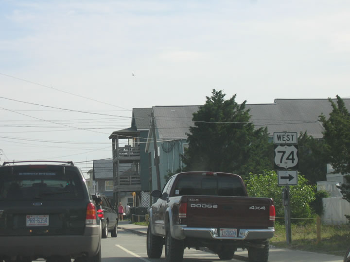
U.S. 74 turns inland from Lumina Avenue south onto Salisbury Street. The first sign for U.S. 74 precedes the westbound turn.
05/29/05
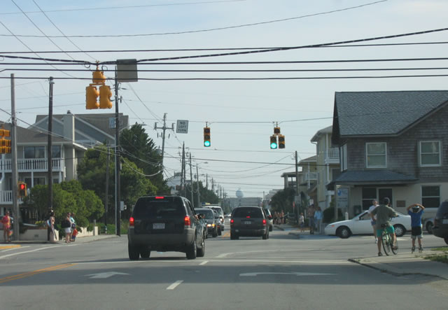
Lumina Avenue extends 0.57 miles south to Causeway Drive and U.S. 76 (Waynick Boulevard) at the South Banks Channel Bridge.
05/29/05
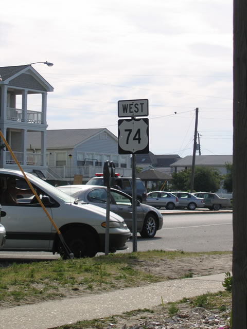
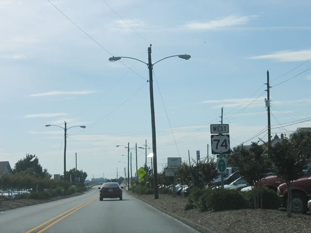
The first westbound reassurance shield for U.S. 74 stands along Salisbury Street at Lumina Avenue.
05/29/05
A second reassurance marker for U.S. 74 appears between Lagoon Drive and the bridge over Banks Channel.
05/29/05
The 616-foot long Banks Channel Bridge dates back to 1957.2 The two lane span joins Wrightsville Beach with Harbor Island.
05/29/05
U.S. 74 (Salisbury Street) west merges with U.S. 76 (Causeway Drive) at a wye intersection at the west end of Harbor Island.
05/29/05
 West
West
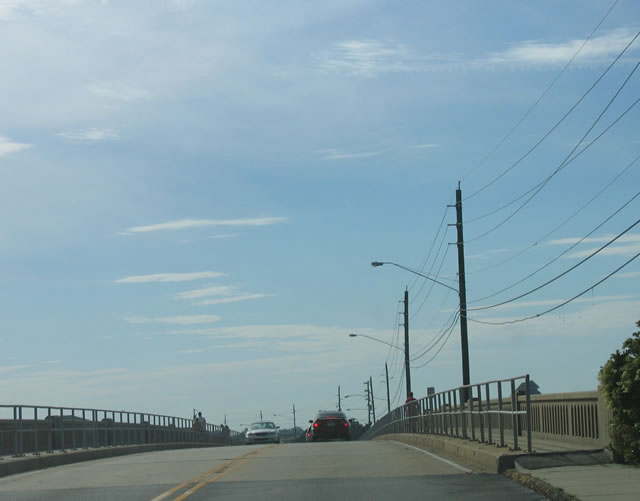
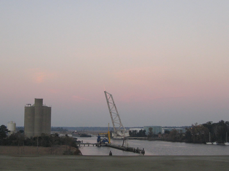
U.S. 74/76 west span the Intracoastal Waterway from Harbor Island across a bascule bridge built in 1956.1
05/29/05
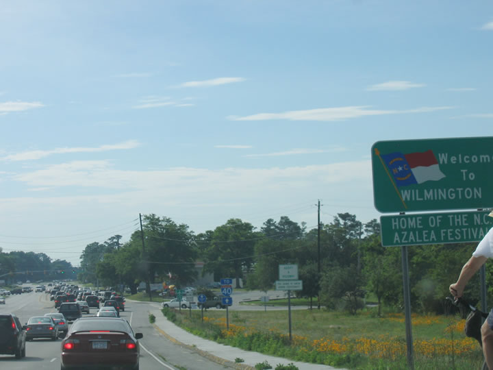
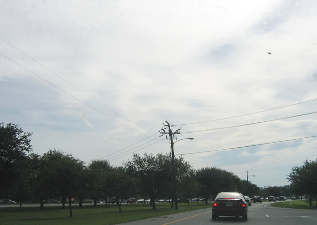
Upon descending from the Wrightsville Beach Bridge, U.S. 74-76 (Eastwood Road) enter the city of Wilmington. The two routes follow separate routes through the city, splitting 1.16 miles ahead at U.S. 17 (Military Cutoff Road).
05/29/05
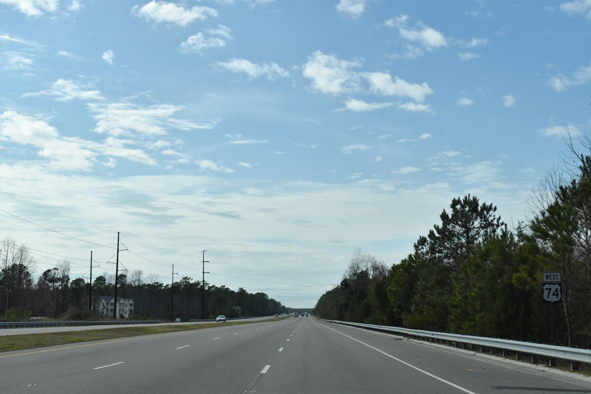
Confirming marker west of U.S. 117. The expressway along Martin Luther King, Jr. Parkway was completed in September 2005.
01/19/19
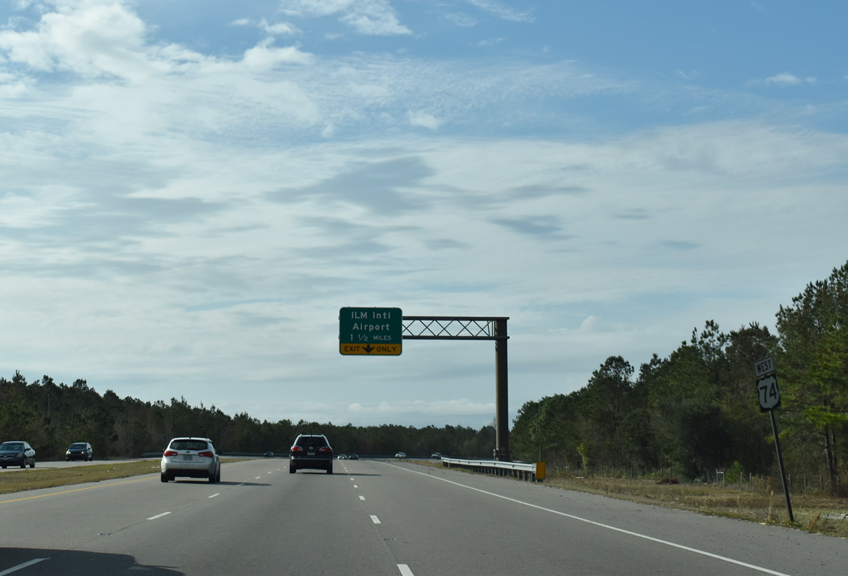
Kerr Avenue (SR 1175) intersects U.S. 74 (Martin Luther King, Jr. Parkway) north of U.S. 17 Business (Market Street) and south from the east side of Wilmington International Airport (ILM).
01/19/19
U.S. 74 converges with both N 23rd Street (SR 1302) and parallel Smith Creek in 1.5 miles.
01/19/19
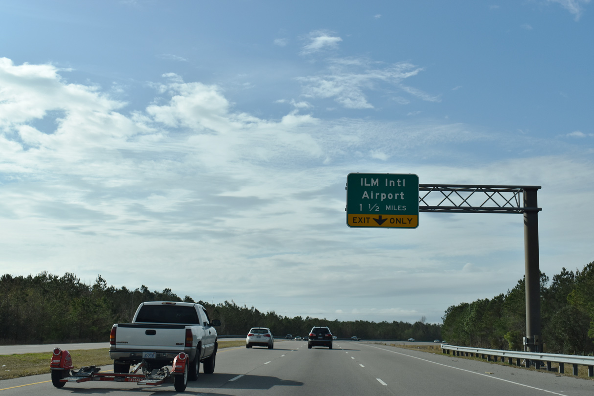
N 23rd Street (SR 1302) leads 0.62 miles north from U.S. 74 to Airport Boulevard east to the passenger terminal of Wilmington International Airport (ILM).
01/19/19
The parclo B2 interchange with N 23rd Street spans Smith Creek.
01/19/19
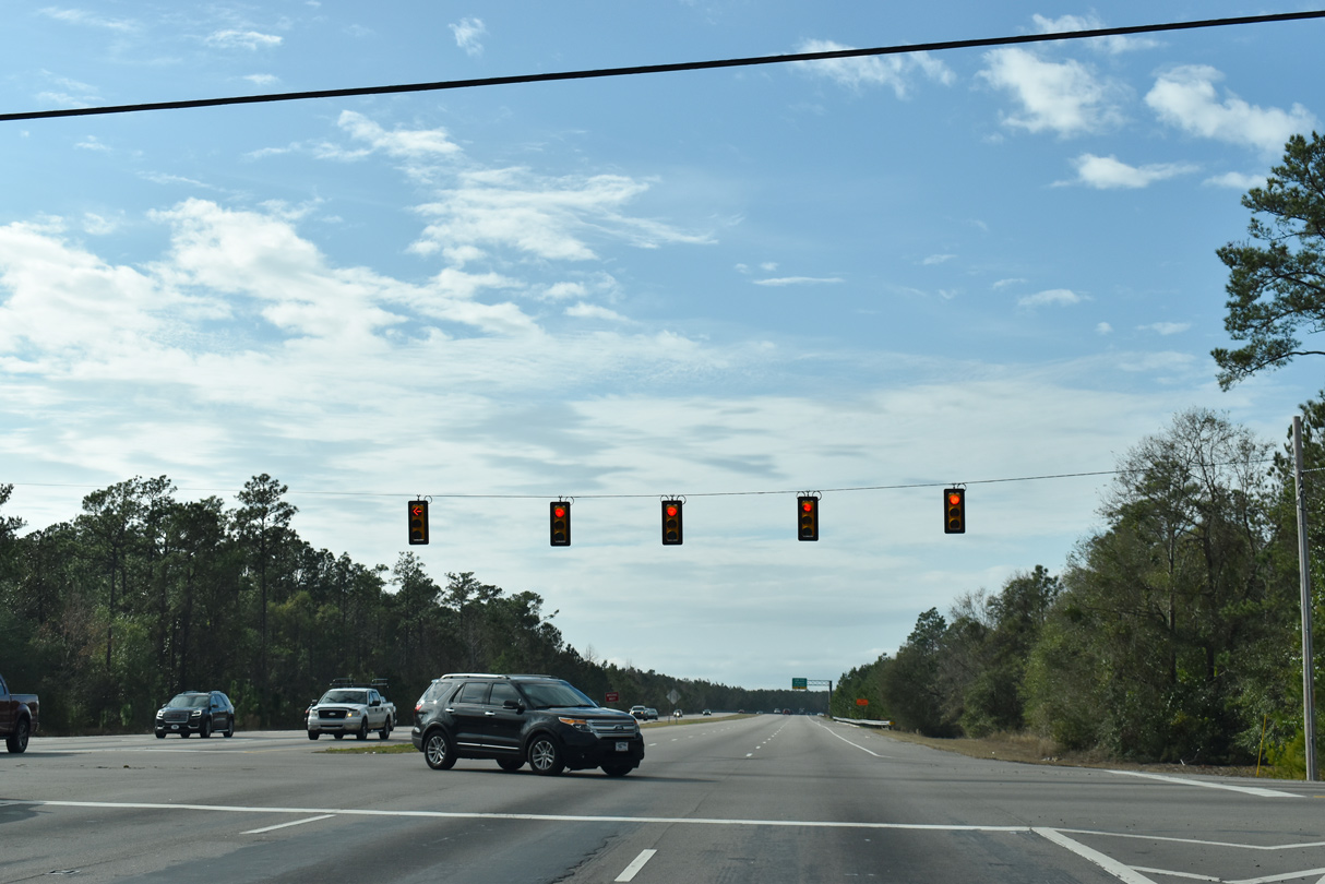
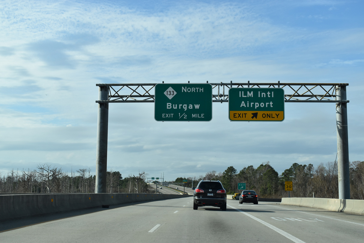
A third westbound lane opens along U.S. 74 (Martin Luther King, Jr. Parkway) between N 23rd Street and the trumpet interchange with NC 133 north.
12/31/17
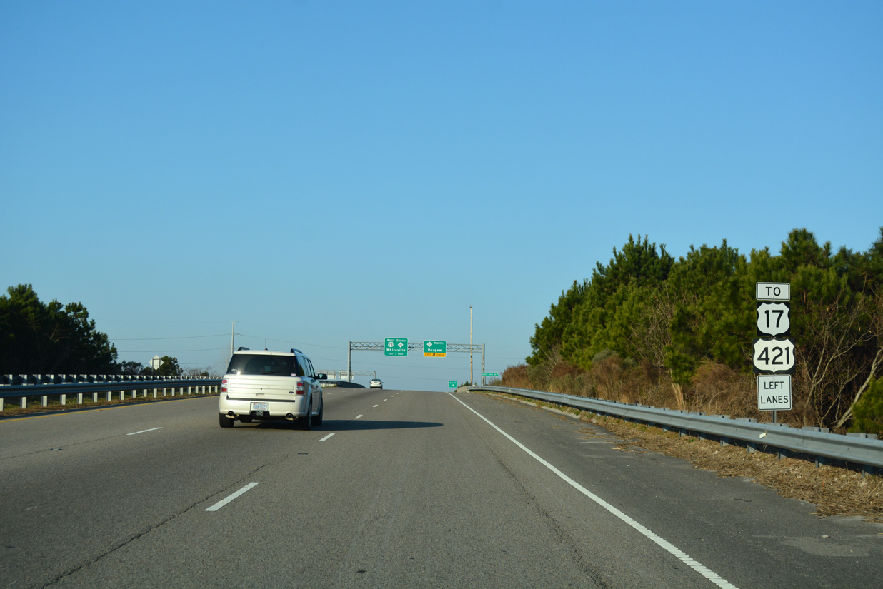
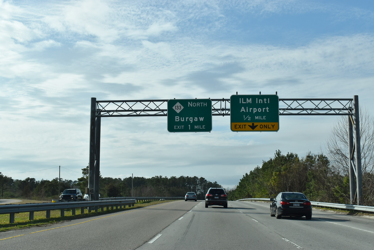
Trailblazers direct motorists from 23rd Street and Wilmington International Airport (ILM) along U.S. 74 west two miles to U.S. 421.
12/31/17
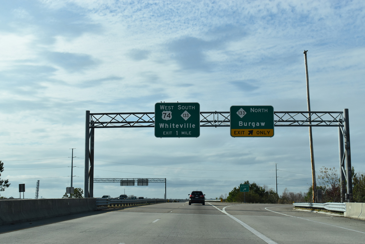
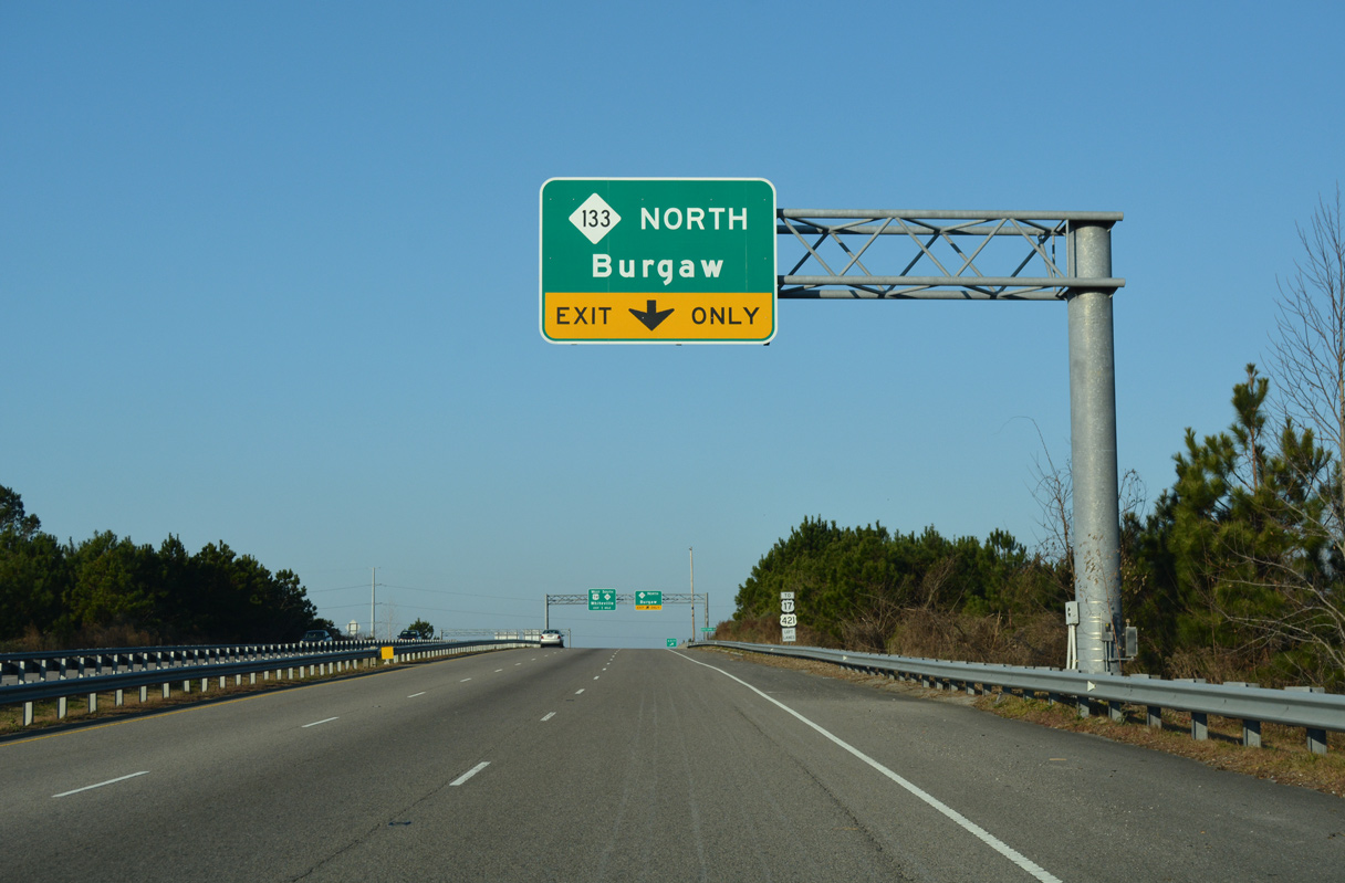
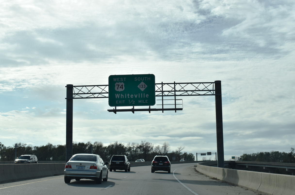
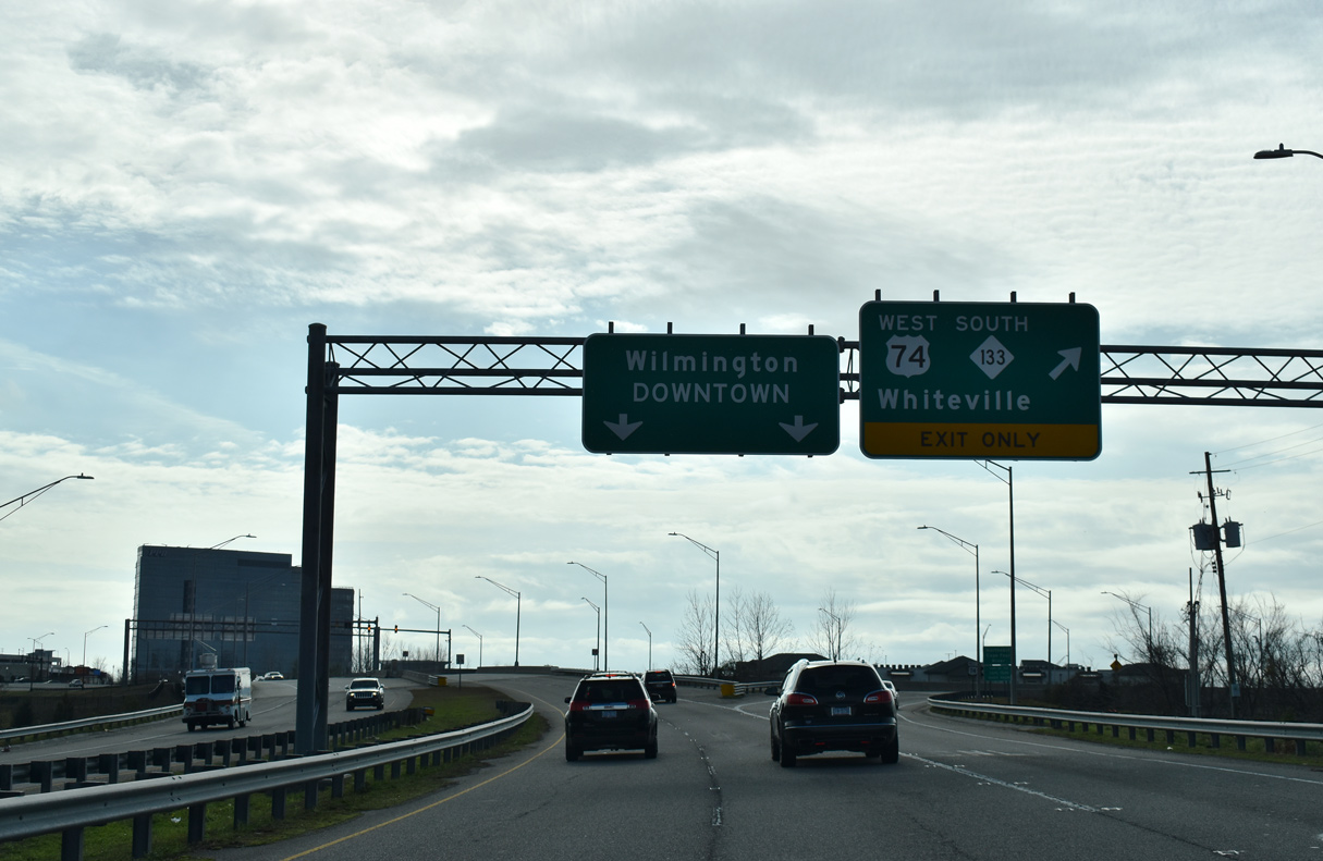
NC 133 connects Wilmington with U.S. 117 north to Burgaw. NC 133 (Castle Hayne Road) through Hightsville, Wrightsboro and Castle Hayne was part of U.S. 117 until 2003.
01/19/19
West  South
South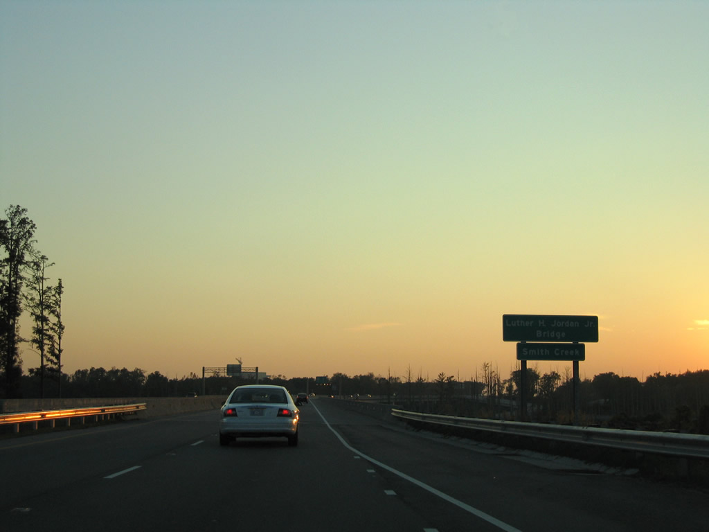
NC 133 south combines with U.S. 74 west along the Luther H. Jordan Jr. Bridge spanning Smith Creek and McRae Street.
11/11/06
A 1931-built swing bridge spans Smith Creek just north of Martin Luther King, Jr. Parkway along Castle Hayne Road (old NC 133).
11/11/06
An entrance ramp rises from McRae Street (former NC 133) at a half diamond interchange with U.S. 74/NC 133. A wye interchange follows in a half mile at the split with 3rd Street south into Downtown Wilmington.
01/19/19

Martin Luther King Jr. Parkway defaults onto 3rd Street southbound as the right lane departs for the continuation of U.S. 74 west / NC 133 south across the Isabel Holmes Bridge.
01/19/19
U.S. 74/NC 133 turn west to span the North East Cape Fear River beyond N 3rd Street. Traffic lights operate at the forthcoming merge with the Isabel Holmes Bridge connection from 3rd Street northbound.
01/19/19
The Isabel Holmes Bridge is a bascule bridge built in 1980. The 2,270 foot long span3carried U.S. 117 across the Northeast Cape Fear River until it was relocated onto NC 132 (College Road) in 2003.
11/11/06
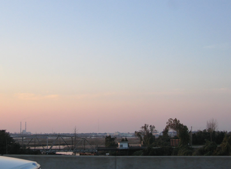
Looking north at the parallel CSX Railroad lift bridge across the NE Cape Fear River.
11/11/06
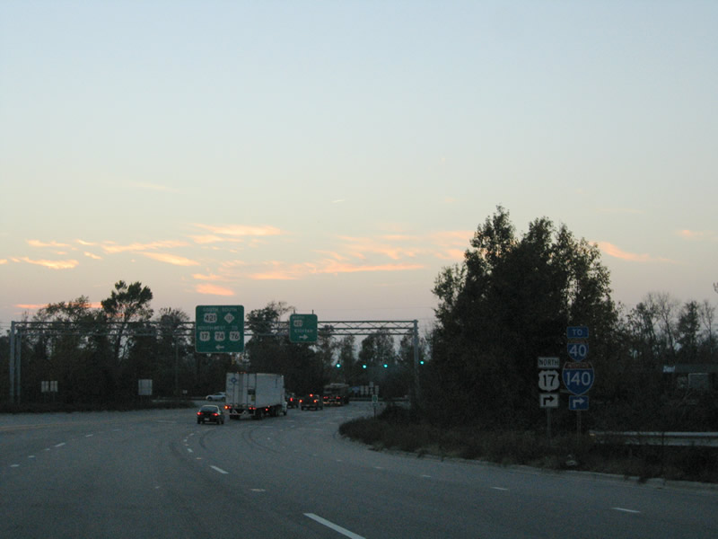
Traffic descends from the Isabel Holmes Bridge to an at-grade intersection with U.S. 421. U.S. 17/421 previously combined south to Eagle Island and north to Interstate 140 at the Dan Cameron Bridge.
11/11/06
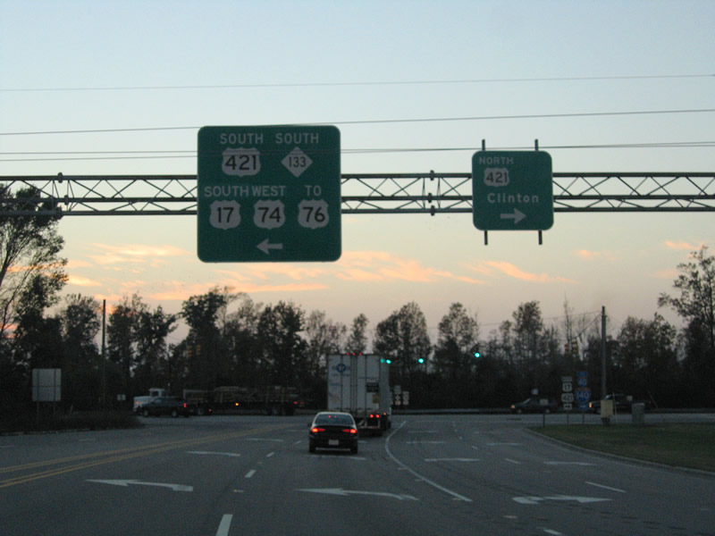
U.S. 74/NC 133 join U.S. 421 south to U.S. 17/76 on Eagle Island. U.S. 421 north joins the Wilmington area with Clinton.
11/11/06
West  South
South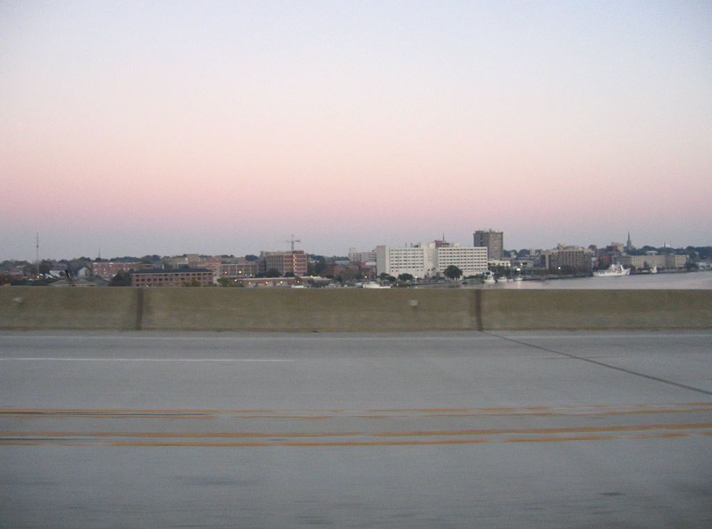
The NE Cape Fear and Cape Fear Rivers combine just east of U.S. 74-421 opposite Downtown Wilmington. Motorists enter a notch of eastern Brunswick County from mid span southward.
11/11/06
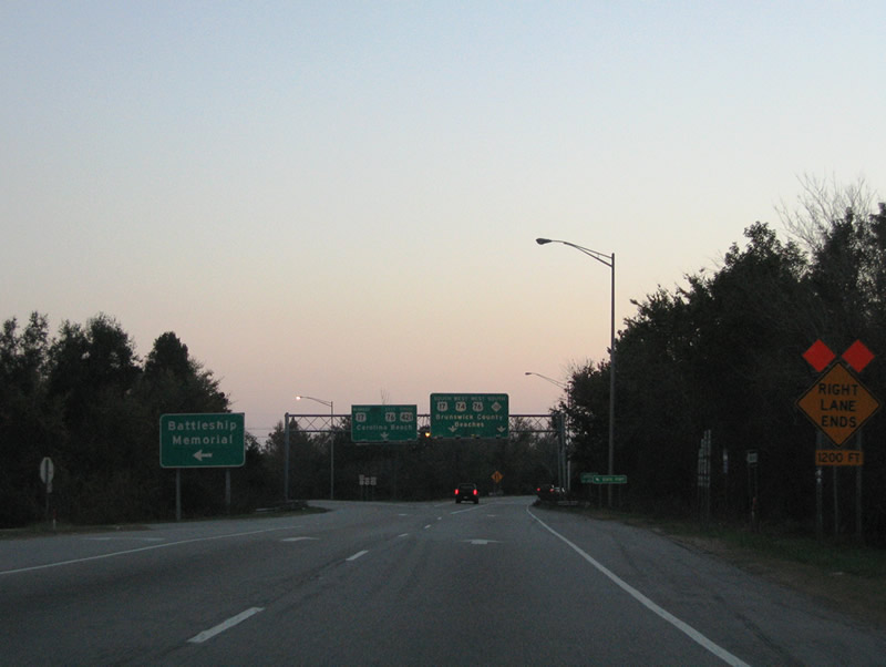
The left turn for USS North Carolina Road to the floating Battleship museum precedes the ramp separation for U.S. 17-76-421 east into Downtown and U.S. 74-76-NC 133 west to Leland.
11/11/06
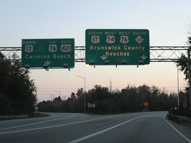
U.S. 74 west / NC 133 south combine with U.S. 17-76 along a freeway to Belville and LeLand. A loop ramp joins U.S. 17-76-421 east across the Cape Fear River into Wilmington. Prior to 2005, U.S. 74 combined with the three routes east.
11/11/06
 South West
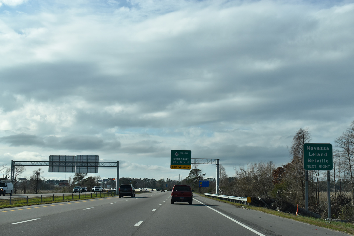
Village Road (SR 1472) joins U.S. 17-74-76 at the exchange with NC 133 from Belville, Navassa and Leland to the northwest.
01/19/19
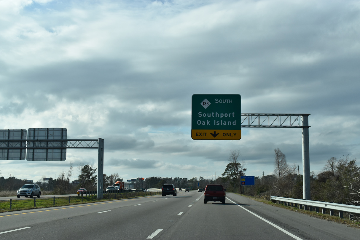
NC 133 separates from U.S. 17-74-76 just across the eight lane span across the Brunswick River completed by mid-November 2016. Resuming a southerly course, NC 133 travels to Clarendon, Pinelevel and NC 87 by Sunny Point Military Ocean terminal. NC 87/133 combine toward Southport.
01/19/19
South West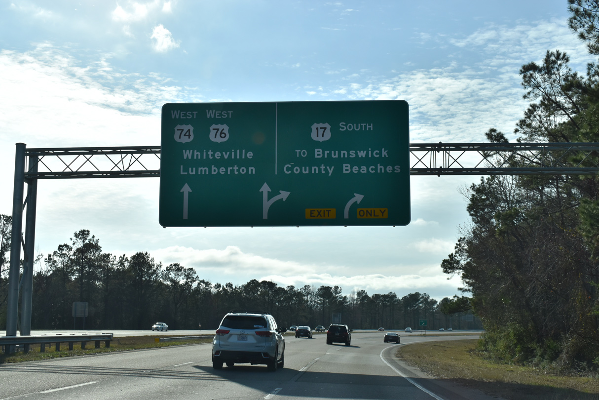
U.S. 17-74-76 divide a half mile west of the DDI with NC 133. U.S. 17 branches southwest, continuing mostly along an expressway to the Grand Strand in South Carolina.
01/19/19
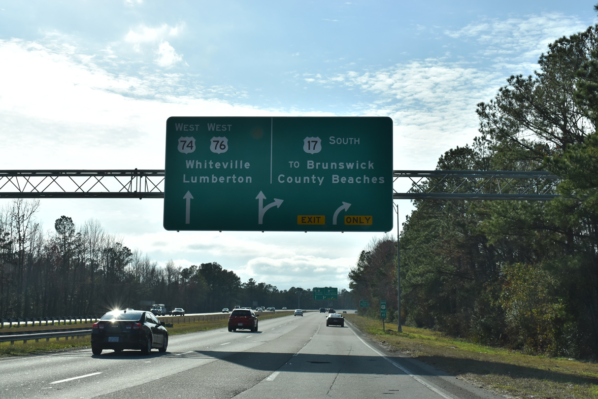
U.S. 17 south serves coastal areas of Brunswick County, with connections to area beaches via NC 87 south to Oak Island, NC 211 south to Holden Beach and both NC 179 and NC 904 south to Ocean Isle Beach.
01/19/19


References:
- US74, US76 over INTRACOASTAL W/W, New Hanover County, North Carolina. http://bridgereports.com/1332485 BridgeReports.com.
- US74 over BANKS CHANNEL, New Hanover County, North Carolina. http://bridgereports.com/1332494 BridgeReports.com.
- US74 over NE CAPE FEAR R. & RAMP, New Hanover County, North Carolina. http://bridgereports.com/1332484 BridgeReports.com.
Photo Credits:
- Andy Field: 05/29/05
- Brent Ivy: 01/19/19
- Alex Nitzman: 12/31/17
- Alex Nitzman, Justin Cozart: 11/11/06
Connect with:
Page Updated Saturday July 11, 2020.