
U.S. 76 East - Wilmington to Wrightsville Beach

 East
East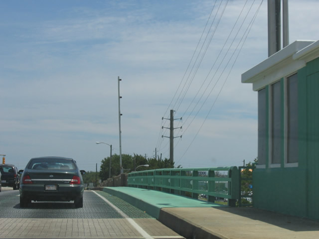
The Wrightville Beach Bridge was built in 1956. The 731 foot long span includes a double leaf bascule.1
05/29/05
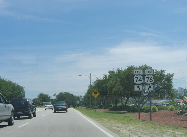
Crossing onto Harbor Island, U.S. 74/76 separate at a wye intersection. U.S. 74 joins Salisbury Street to north Wrightsville Beach while U.S. 76 heads along Causeway Boulevard to south Wrightsville Beach.
05/29/05
East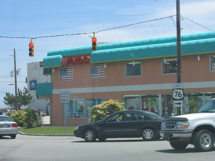
U.S. 76 crosses the South Banks Channel Bridge and turns south from Causeway Boulevard onto Waynick Boulevard. Causeway Boulevard continues one block east to Lumina Avenue and the Wrightsville Beach business district.
05/29/05
Heading south from Causeway Drive, a pair of signs reference the east end of U.S. 76 in 1.7 miles.
05/29/05
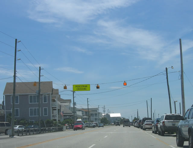
This pedestrian crossing offers a connection from the west side of Waynick Boulevard along Banks Channel to the Atlantic Ocean off Lumina Avenue.
05/29/05
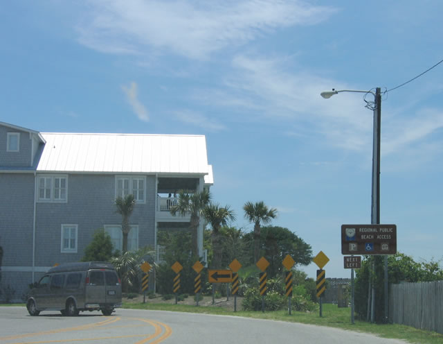
U.S. 76 shifts east from Waynick Boulevard to Lumina Avenue via Sunset Avenue east at this turn.
05/29/05
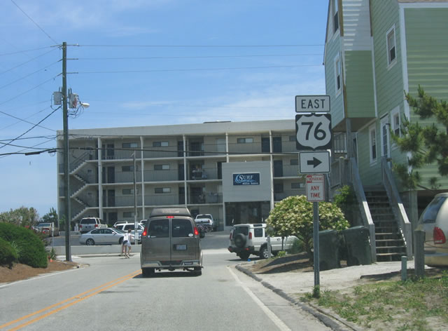
Turning south onto Lumina Avenue from Sunset Avenue east on U.S. 76.
05/29/05
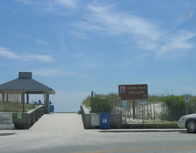
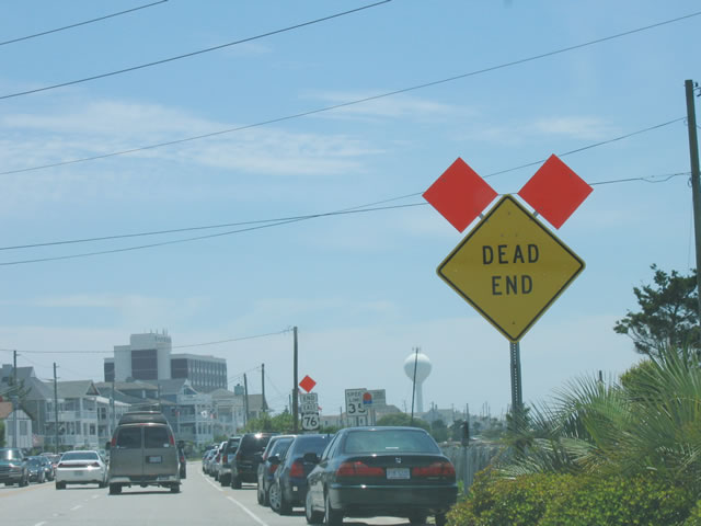
Lumina Avenue extends south to Jack Parker Boulevard and beach access #43, the 43rd access point from north to south along the island. Jack Parker Boulevard represents the southernmost extent of U.S. 76 along the 1.84 mile long leg on Wrightsville Beach.
05/29/05
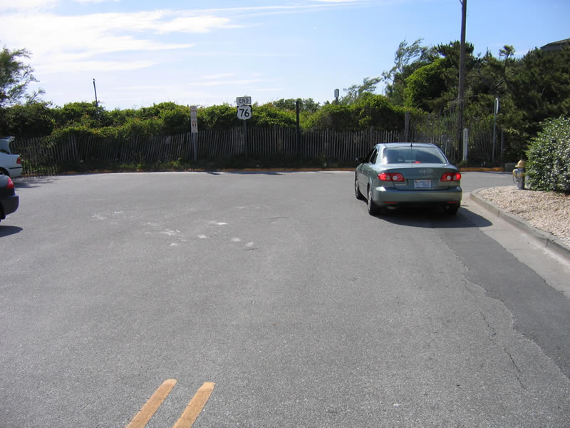
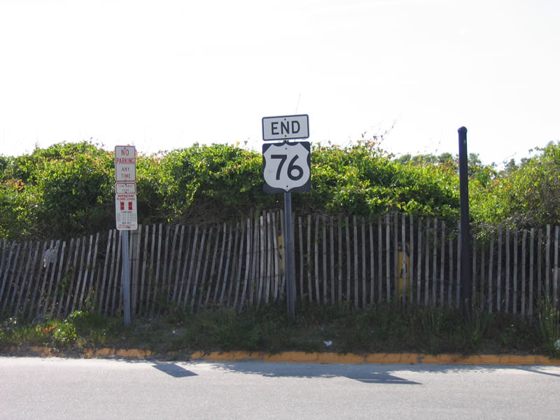
Jack Parker Boulevard links Lumina Avenue with Water Street at the east end of U.S. 76.
05/29/05
References:
- Wrightsville Beach Bridge. http://bridgehunter.com/nc/new-hanover/1290012/ Bridgehunter.com.
Photo Credits:
- Andy Field: 05/29/05
Connect with:
Page Updated Wednesday September 12, 2018.