
U.S. 80

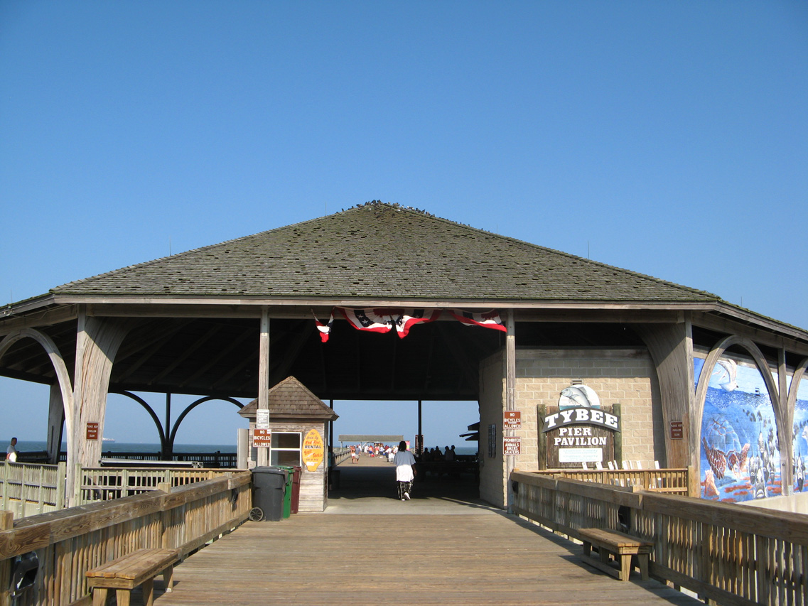
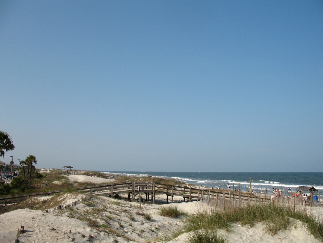
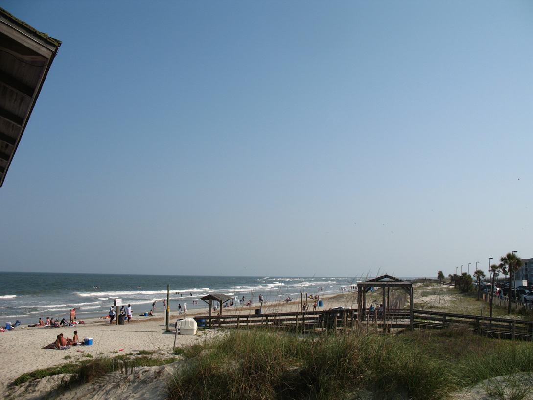
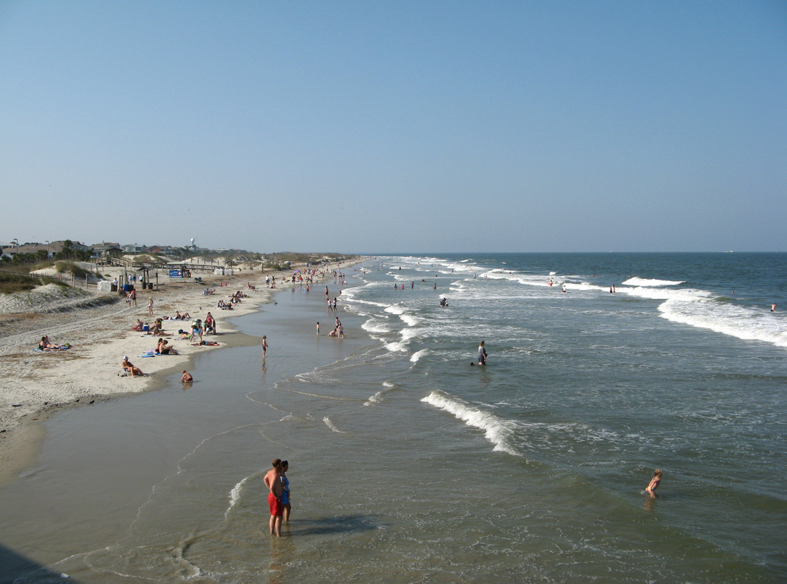
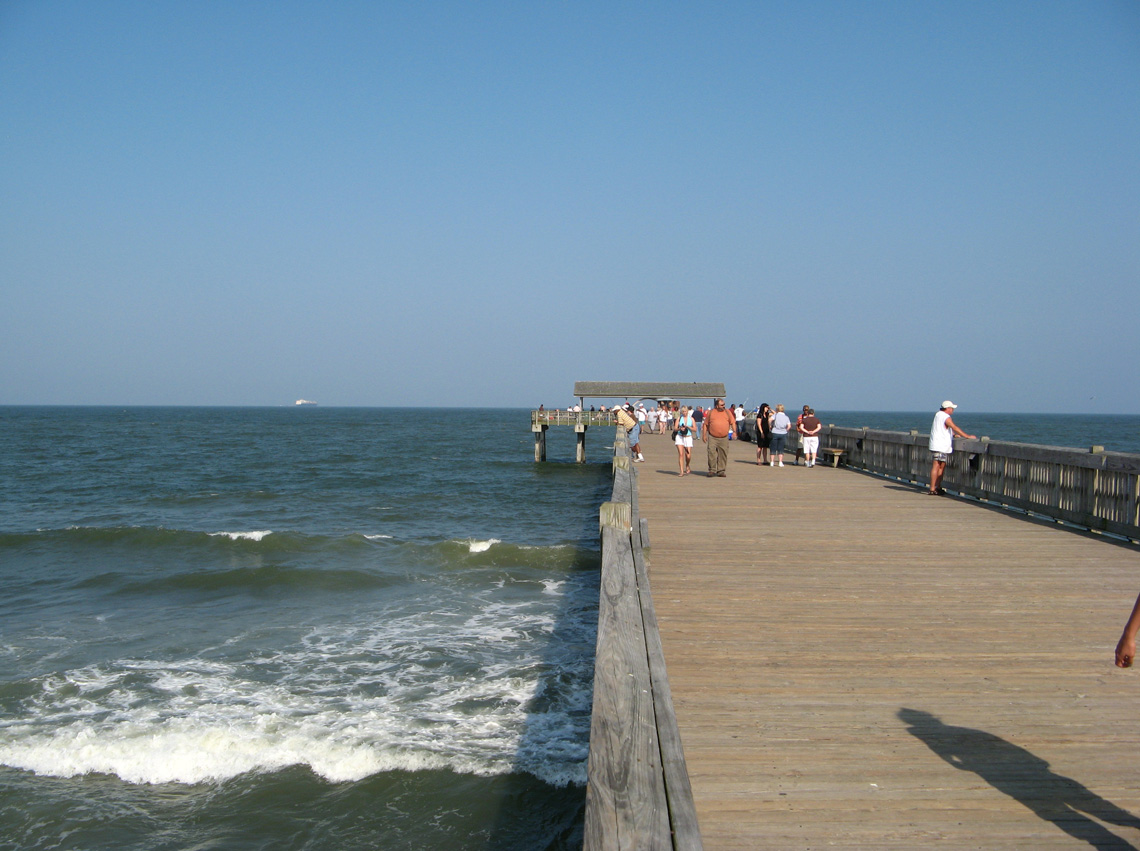
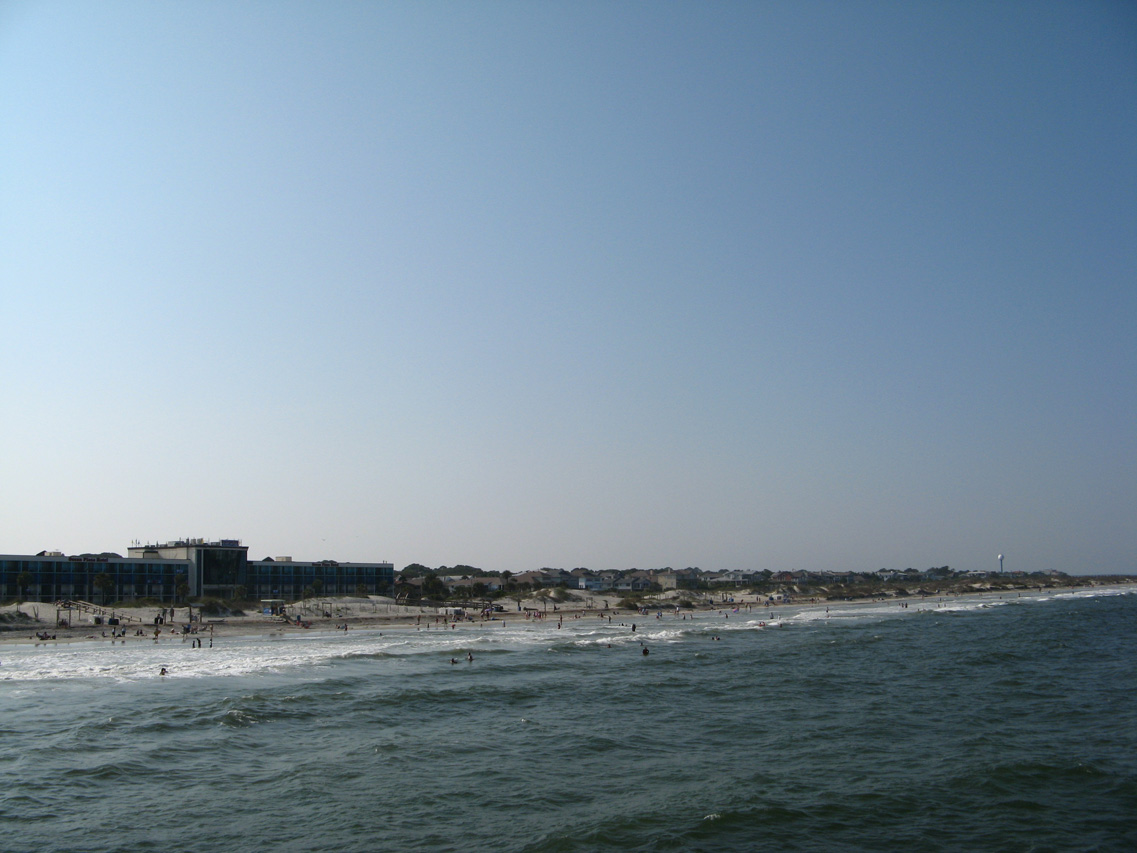
U.S. 80 travels nearly 297 miles across the Peach State, from the Chattahoochee River at Columbus, to Tybee Island just off the Atlantic Ocean.
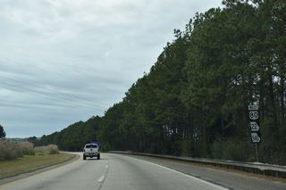
U.S. 80 Georgia Guides
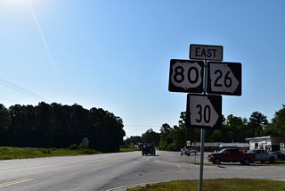
East

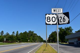
West
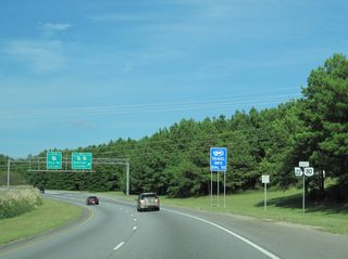
U.S. 80 enters the Peach State along J.R. Allen Parkway, a limited access bypass around the north side of Columbus. The freeway takes U.S. 80 east to I-185 and U.S. 27 Alternate (Manchester Expressway). East from there, U.S. 80 advances with four lanes to Geneva and Georgia State Route 96. The relocation of U.S. 80 north from Phenix City and Columbus along J.R. Allen Parkway was approved by the American Association of State Highway and Transportation Officials (AASHTO) on December 5, 1987. AASHTO also approved a temporary alignment of U.S. 80 along SR 85 until the 11.2 mile long bypass was completed.
Prior to 1965, U.S. 80 followed 13th Street, Buena Vista Road, Wynnton Road and Macon Road northeast from Columbus to Fort Benning. This route was replaced by SR 22SP, a 10.31 mile long route east from U.S. 27/SR 1 (Veterans Parkway/4th Avenue). The Georgia State Highway Department received approval from the American Association of State Highway Officials (AASHO) for this relocation on June 29, 1965. A further change in Columbus took place with U.S. 80 combining with U.S. 27 (4th Street) south to U.S. 280 (4th Street), and alongside U.S. 280 west to Phenix City, Alabama. A joint request was submitted from Alabama and Georgia for this realignment on November 27, 1966.
SR 96 is part of the Fall Line Freeway Corridor (SR 540) east from U.S. 80 and Columbus to Macon by way of Butler and Fort Valley. U.S. 80 shifts north along a winding two lane alignment to Talbotton, and east through Knoxville and Macon-Bibb County. U.S. 80 formerly traveled along Columbus Road from Lizella east to Montpelier Avenue in Macon. The route followed Coleman Avenue and College Street around Tatnall Square, meeting U.S. 41BU (Georgia Avenue) 0.6 miles north from there. U.S. 41BU/80 overlapped east along Georgia Avenue and Mulberry Street to Spring Street, which led U.S. 80 northeast with U.S. 23 across the Ocmulgee River. A new straighter alignment shifted U.S. 80 southward from Lizella east to U.S. 41BU (Houston Street / Broadway) in Macon. AASHTO approved the relocation on December 4, 1971.
Advancing through urban areas of Macon, U.S. 80 follows Eisenhower Parkway to interchanges with I-475 and then I-75 en route to U.S. 129. Eisenhower Parkway extends another 0.63 miles east from U.S. 80/129 to Edgewood Avenue. The Fall Line Freeway Corridor was intended to form a south bypass of Macon east across the Ocmulgee River from Eisenhower Parkway. However environmental studies could not identify a feasible alternative for the highway.1
U.S. 80/129 line Broadway north through Downtown Macon, spanning the Ocmulgee River ahead of Interstate 16 and the Macon Coliseum. Historically U.S. 80/129 were realigned in Downtown from overlaps with U.S. 41BU on Poplar Street and U.S. 23 along Spring Street and Emery Highway east onto 2nd Street. These changes were approved by the American Association of State Highway Officials (AASHO) on November 27, 1966. U.S. 80 turns east alongside U.S. 23/129 Alternate for a 2.3 mile long overlap. The two part ways with U.S. 23/129 Alternate heading south to Cochran and U.S. 80 resuming along a rural course southeast to Jeffersonville. The Fall Line Freeway Corridor (SR 540) continues east from U.S. 80 along SR 57 to Wilkinson County and ultimately Augusta.
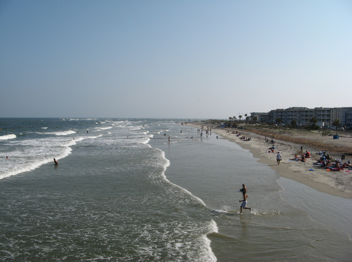
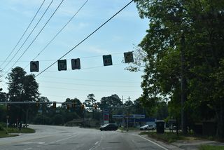
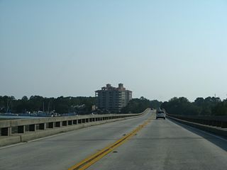
Generally serving local traffic and linking the county seats of Dublin, Swainsboro and Statesboro, the remainder of U.S. 80 east parallels Interstate 16. The two routes converge in Savannah, where U.S. 80 shifts north to I-516/SR 21 (W.F. Lynes Parkway) along Bay Street to Garden City, and south alongside I-516 into Savannah. U.S. 80 separates with the urban freeway and U.S. 17 along Ogeechee Road east to Victory Drive across Midtown Savannah. AASHTO approved the realignment along Lynes Parkway on December 8, 1984.
Historically through Savannah, U.S. 80 split with the mainline overlapping with U.S. 17 along Bay Street east to the couplet of West Broad and Montgomery Streets, which led the pair south to Victory Drive. Toll U.S. 80 provided a more direct route through Downtown Savannah along Bay and Presidents Streets to Islands Expressway, a tolled bridge across the Wilmington River. The bannered route was decommissioned after tolls were removed in 1980. An application to AASHTO for the relocation of U.S. 80 to follow all of SR 26 east to White Marsh Island was approved on June 28, 1982.
U.S. 80 shifted slightly southward across the Bull River with the construction of a new bridge and approaches in 1968. The State Highway Department of Georgia conferred with AASHO on the minor adjustment, which was approved on June 18, 1968. West onto Whitemarsh Island, U.S. 80 was relocated from Johnny Mercer Boulevard (SR 26LP) onto a new, one mile shorter alignment to the north. AASHO concurred with this on December 6, 1964.
References:
- Fall Line Freeway Fact Sheet. Georgia Department of Transportation. Updated December 2018.
- US 80 over CHATTAHOOCHEE RIVER. BridgeReports.com.
Connect with:


Page Updated Wednesday November 30, 2022.