
U.S. 84
U.S. 84 crosses Lower Alabama along a 242 mile course from Waynesboro, Mississippi to Donalsonville, Georgia. Nationally a 1,919 mile highway from Pagosa Springs, Colorado to Midway, Georgia, U.S. 84 is also the El Camino Corridor east from Sweetwater, Texas. Much of the route across the Deep South is four lanes wide, with long range plans calling for a continuous four lane corridor from Texas east to the Georgia Gold Coast.
Within southwest Alabama, U.S. 84 connects the towns of Coffeeville and Grove Hill with the Monroe County seat of Monroeville. This alignment includes the first bridge across the Alabama River north of the Interstate 65 corridor at Creola and Stockton. U.S. 84 and I-65 converge outside Evergreen, with U.S. 31 joining U.S. 84 east for 8.8 miles
Further east, U.S. 84 drops southward to Andalusia, where it bypasses the city alongside U.S. 29 to the north. Another bypass takes U.S. 84 around Opp with U.S. 331. Alabama State Route 134 provides the most direct route between Opp and Enterprise, while U.S. 84 arcs north to Elba and New Brockton before joining the arterial belt route around Enterprise.
Through the Dothan area, U.S. 84 joins Alabama 210 along the Ross Clark Circle to circumvent downtown while the in-city route is U.S. 84 Business. U.S. 231 and U.S. 431 also accompany U.S. 84 and Alabama 210 on the arterial belt route around Dothan. U.S. 84 remains a four lane highway east from Dothan to the Chattahoochee River into southwest Georgia.
As of 2004, 89.4 miles of U.S. 84 in Alabama were already widened to four lanes, with another 21.2 miles under construction. The five-year plan for four-laning called for expanding an additional 55.8 miles of U.S. 84. That left 77.1 miles without any proposed improvements at the time.1
Used by westward settlers, the El Camino Corridor dates back to the 1800s. U.S. 84 separates with the El Camino Corridor at Sweetwater, with it continuing southwest along old U.S. 80 to El Paso, and south from there to Mexico City, Mexico.
Designated in 1926, U.S. 84 was a fairly short route, starting in Dothan and extending east to Brunswick, Georgia. The route was extended west in 1934 to Grove Hill, and along an overlap with U.S. 43 south to Wagarville to end at Chathom. U.S. 84 was further lengthened west to Texico, New Mexico by 1936.2
West from Grove Hill, U.S. 84 was realigned onto a new 4.51 mile long roadway bypassing the Clarke County seat to the south. AASHTO approved the relocation on April 8, 2000. AASHTO also approved the realignment of U.S. 84 onto the Enterprise bypass, and a new facility east from there to southwestern Dale County, on November 8, 1986. The same meeting saw the establishment of U.S. 84 Business through Enterprise. The former alignment of U.S. 84 today is SR 134 east from Downtown Enterprise, SR 167 to the southeast and SR 92 east through Clayhatchee.
 East
East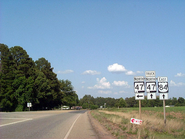
U.S. 84 eastbound at SR 47 north to the rural community of Mexia. SR 47 winds eastward to the Monroe County seat of Monroeville.
06/01/02
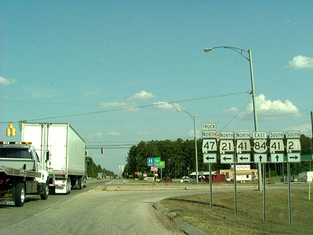
The truck route for SR 47 overlaps with U.S. 84 east, SR 21/41 north and SR 21 Bypass to circumvent the Monroeville business district.
06/01/02
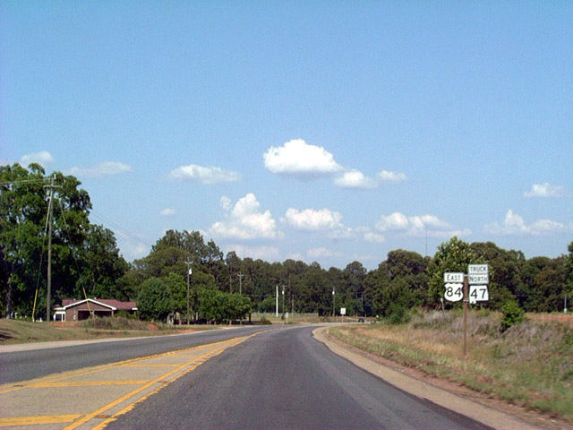
SR 21 runs northward from Uriah and the town of Frisco City and intersects U.S. 84 and SR 41 by Monroe County Airport (MVC). SR 41 and SR 47 Truck combine with SR 21 north into Monroeville. SR 41 south overlaps with U.S. 84 east to the town of Repton.
06/01/02
West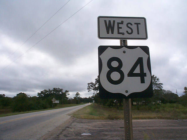
U.S. 84 leads 14 miles west from Interstate 65 outside Evergreen to the town of Repton.
10/10/99
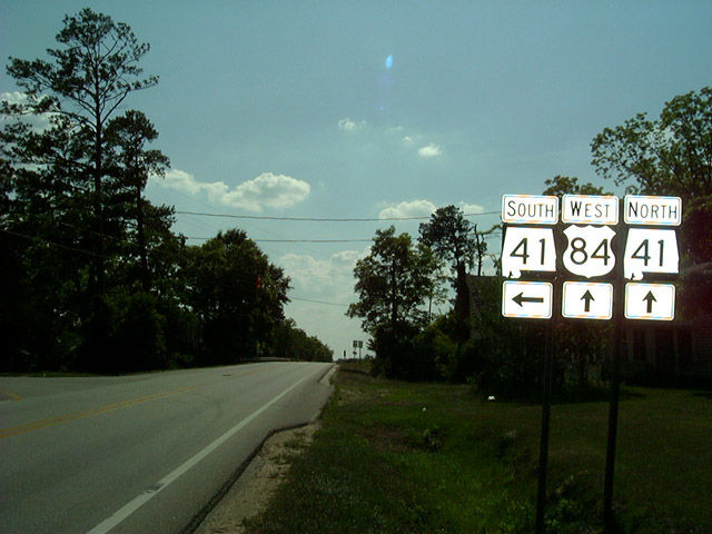
U.S. 84 combines with SR 41 northbound at Repton. SR 41 south travels 27 miles south to the city of Brewton. The adjacent railroad overpass was replaced in 2009.
06/01/02
scenes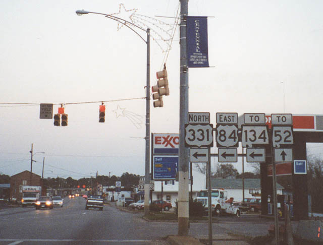
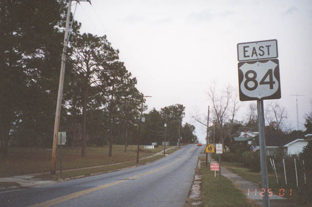
U.S. 84 formerly combined with U.S. 331 north through Opp. Both routes were subsequently realigned onto Veterans Memorial Parkway, an at-grade bypass encircling the city. This sign assembly was posted at the northern turn of U.S. 84 onto Main Street in the Opp business district.
11/25/01
U.S. 84 east / U.S. 331 north overlapped along Main Street for five blocks through central Opp. The two partitioned at Stewart Avenue.
11/25/01
Confirming marker previously posted along Stewart Avenue eastbound beyond the former separation of U.S. 84 from U.S. 331 (N Main Street) in Opp.
11/25/01
References:
- "Project to Widen U.S. 84 Creeping Along." Mobile Register (AL), December 12, 2004.
- End of US highway 84, US Ends .com
Photo Credits:
- Alex Nitzman: 10/10/99, 06/01/02
- Alex Nitzman, Adam Froehlig: 11/25/01
Connect with:
Page Updated Sunday December 19, 2004.