
U.S. 84 East - Collins to Laurel
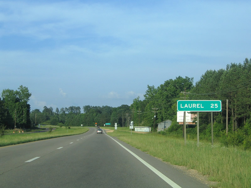
MS 184 returns to U.S. 84 from Collins at Salem Church Road ahead of Rogere Creek and this distance sign to Laurel.
06/12/04
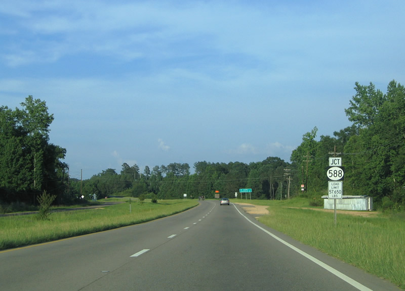
U.S. 84 east next meets MS 588 (Ellisville Road) south and Salem School Road north.
06/12/04
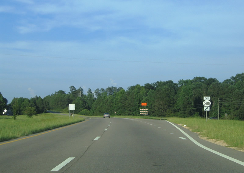
MS 588 travels 21.38 miles east to MS 29 at the Jones County seat of Ellisville.
06/12/04
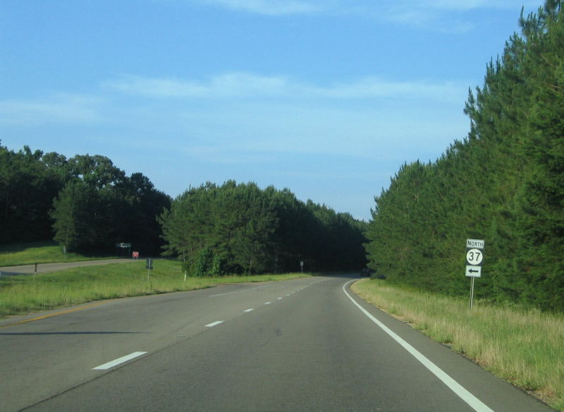
MS 37 stems 10.4 miles north from U.S. 84 to MS 28 in the town of Taylorsville and 25.2 miles to MS 35 near Raleigh.
06/12/04
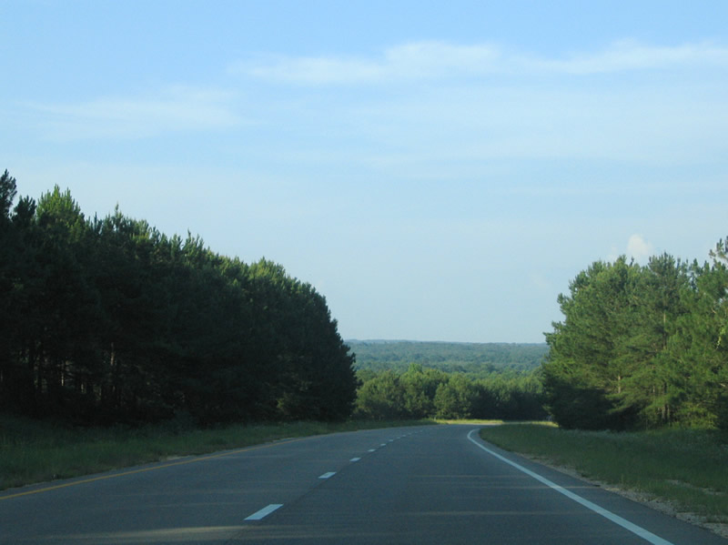
U.S. 84 crosses a low ridge east of Mississippi Highway 37 in eastern Covington County.
06/12/04
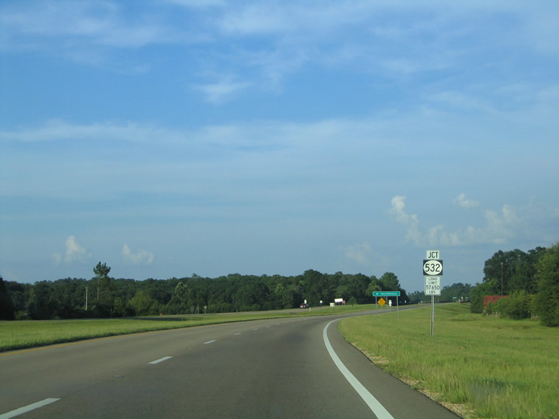
MS 532 angles 3.7 miles southeast from the settlement of Hot Coffee to U.S. 84 adjacent to the Leaf River.
06/12/04
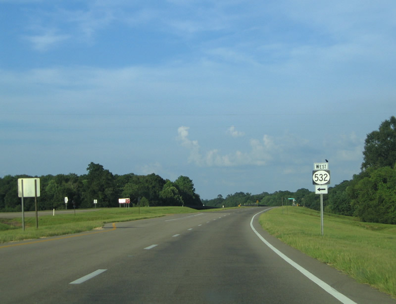
16.04 miles in length, Mississippi Highway 532 leads west back to MS 35 outside Mount Olive.
06/12/04
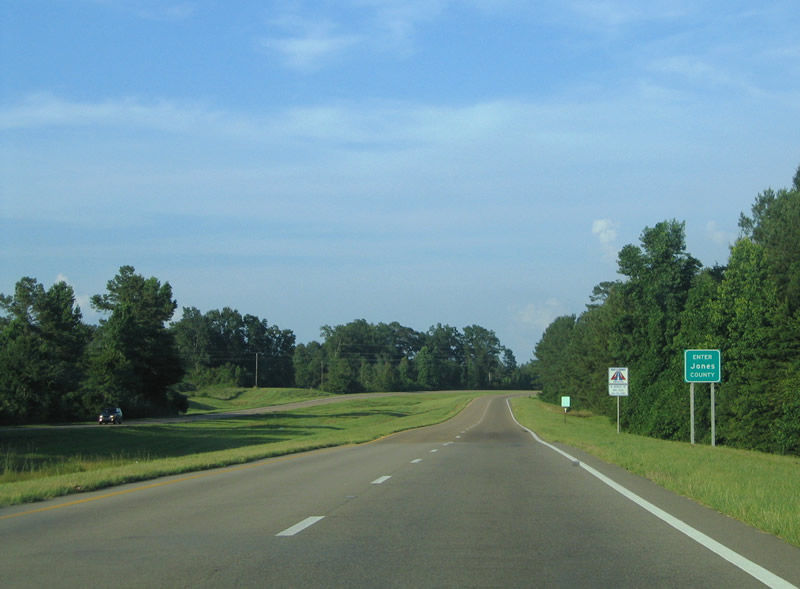
U.S. 84 enters Jones County east of the Leaf River.
06/12/04
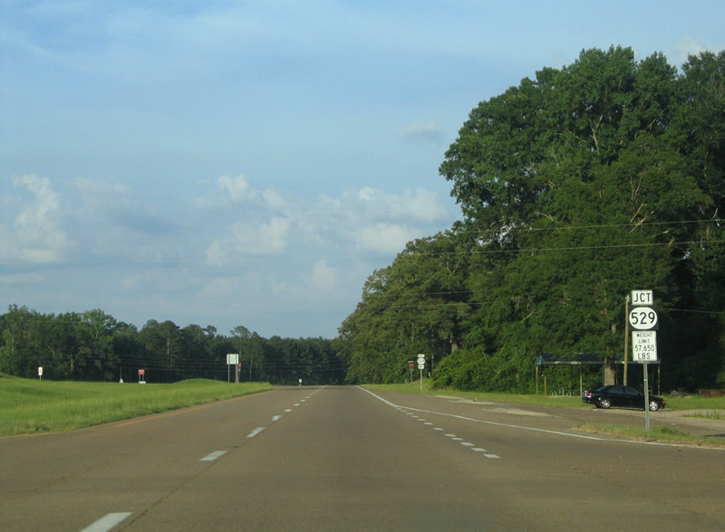
2.02 miles east into Jones County, U.S. 84 intersects the south end of MS 529 at Hebron.
06/12/04
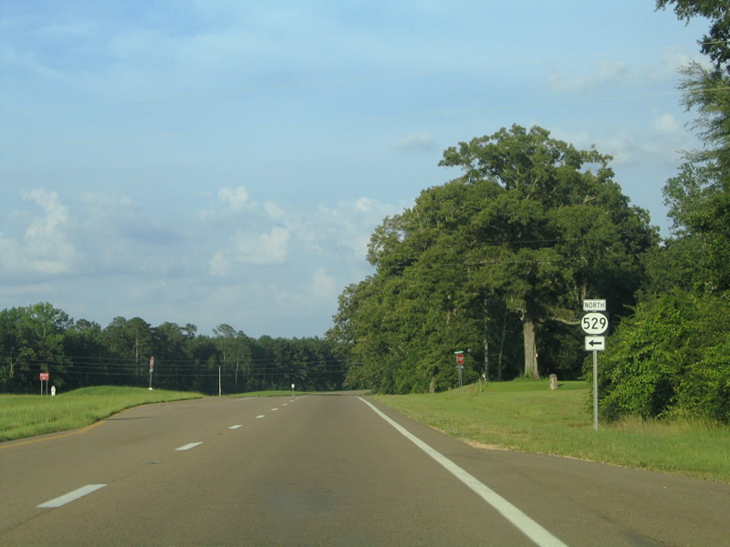
MS 529 heads 6.36 miles north from U.S. 84 to MS 28 at Gitano.
06/12/04
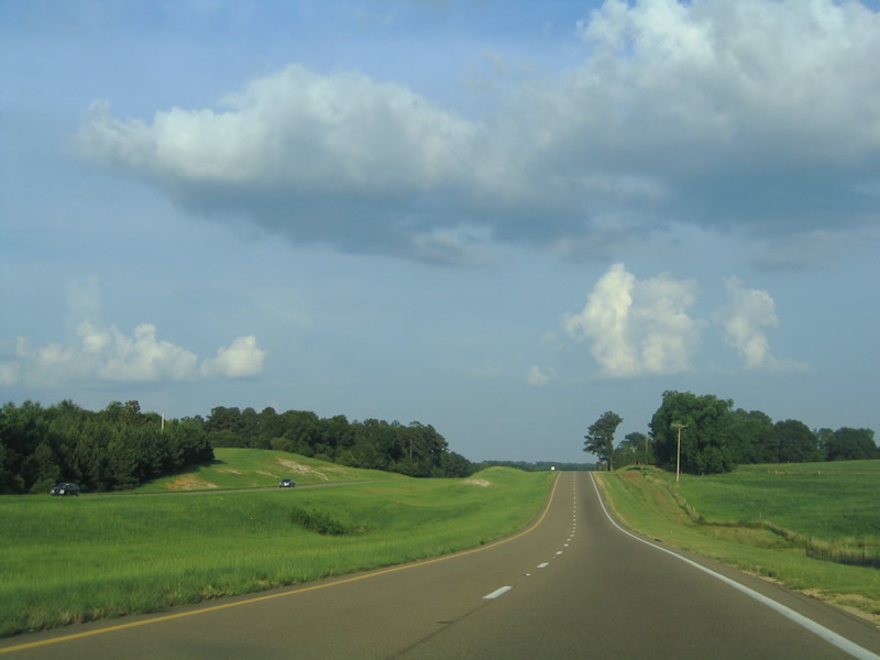
Shifting southward beyond MS 529 and Smith Creek, U.S. 84 continues past Big Creek Water Park.
06/12/04
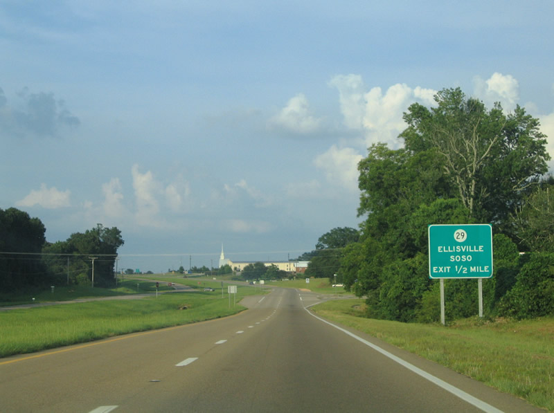
U.S. 84 converges with MS 29 at a parclo A2 interchange north of Pleasant Ridge.
06/12/04
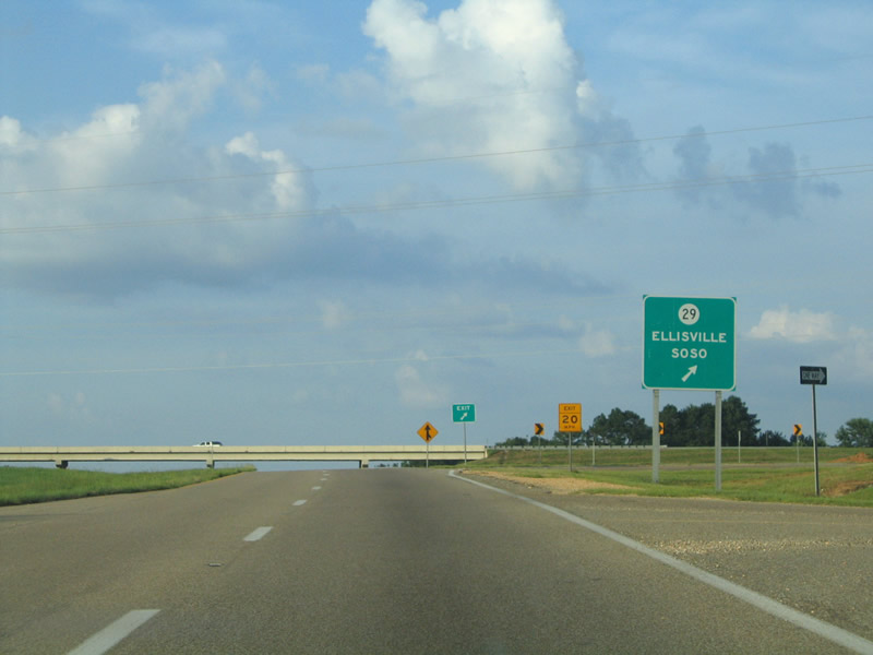
MS 29 travels 5.4 miles south to Interstate 59 at Ellisville and 8.1 miles north to MS 28 at Soso.
06/12/04
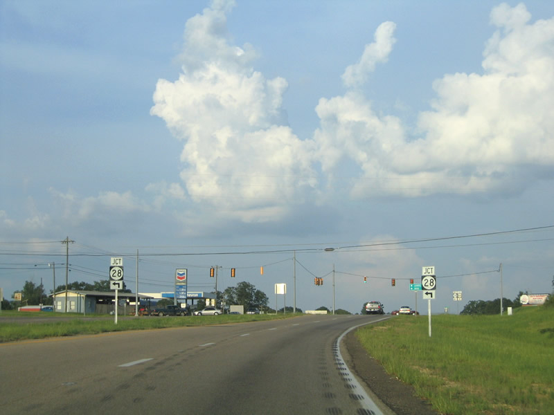
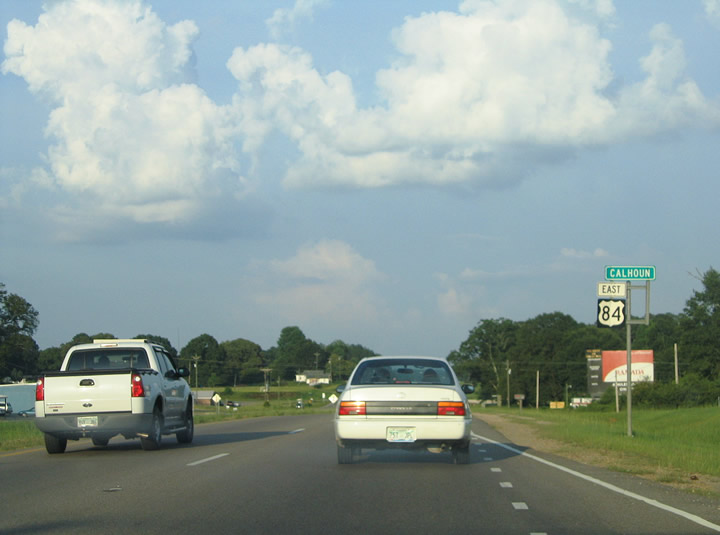
MS 28 continues 5.7 miles southeast from MS 29 at Soso to conclude at U.S. 84 near the rural community of Calhoun.
06/12/04
Mississippi Highway 28 travels 124.6 miles overall from U.S. 84 west to U.S. 61/MS 33 at Fayette.
06/12/04
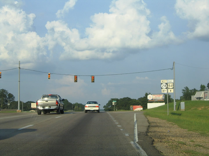
MS 28 formerly continued 3.7 miles east along an overlap with U.S. 84 from Calhoun to MS 15 (16th Avenu) in Laurel.
06/12/04
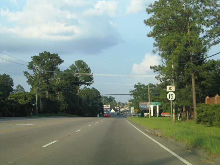
U.S. 84 proceeds east into the city of Laurel beyond Tallahoma Creek. Running along the south side of Laurel Country Club, U.S. 84 meets MS 15 (N 16th Avenue) at W 5th Street and the city street grid.
06/12/04
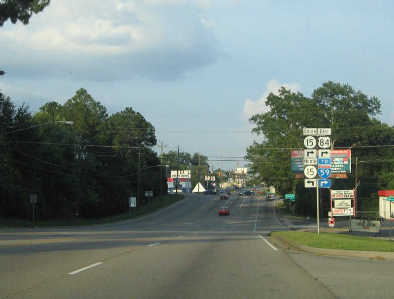
Circumventing Downtown Laurel, U.S. 84 turns south alongside MS 15 (N 16th Avenue) for 0.78 miles to Interstate 59. The historic alignment for U.S. 84 across the city followed W 5th Street, N 13th Avenue, W 6th Street, N 8th Avenue, W 7th Street, N 2nd Avenue, an overlap with U.S. 11, and Chantilly Street.
06/12/04
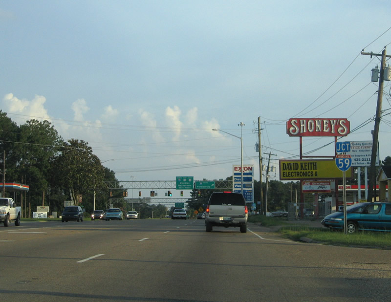
MS 15 travels 23.3 miles north to MS 18 at Bay Springs and 51.5 miles to Interstate 20 near Newton. U.S. 84 east and MS 15 combine for 2.3 miles to the I-59 exit for Cooks Avenue in Laurel.
06/12/04
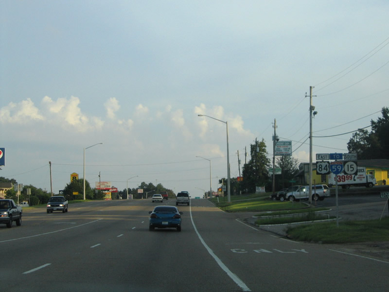
Leading U.S. 84/MS 15 south to Interstate 59, 16th Avenue constitutes a five lane commercial boulevard.
06/12/04
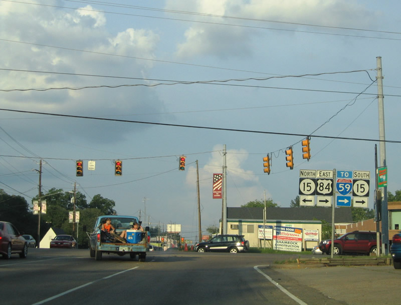
U.S. 84/MS 15 (S 16th Avenue) enter a three quarter cloverleaf interchange with Interstate 59 south after the signalized intersection with Jefferson Street.
06/12/04
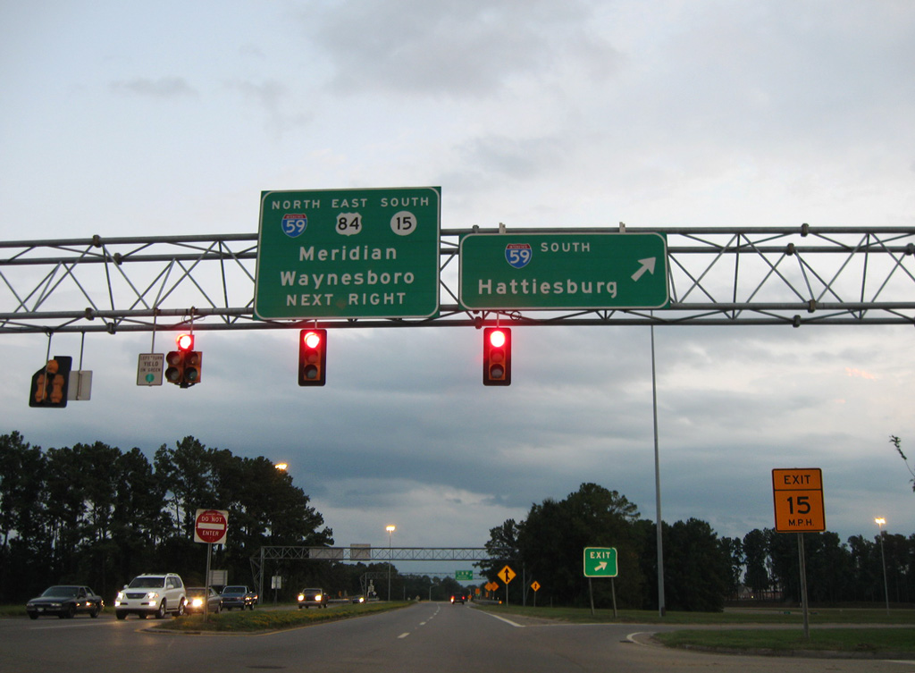
U.S. 84/MS 15 combine with Interstate 59 east from S 16th Avenue to Exit 96 B. MS 15 turns south from Cooks Avenue to Richton and U.S. 98 at Beaumont. I-59 travels southwest to Ellisville and south to Hattiesburg.
09/07/09
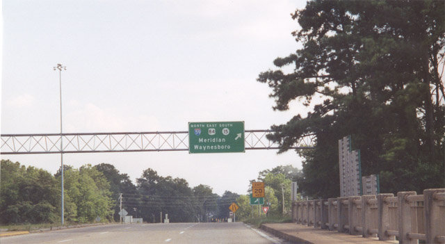
A loop ramp takes U.S. 84/MS 15 east onto I-59 north. S 16th Avenue extends another 0.85 miles south to U.S. 11 (Ellisville Boulevard).
06/23/01
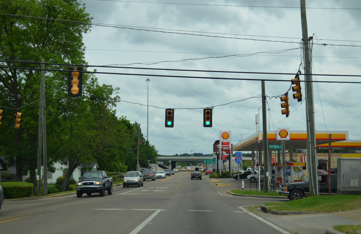
Chantilly Street (Old U.S. 84) stems east from U.S. 11 (Cross Street / Susie B. Ruffin Avenue) three blocks to Interstate 59 at Mississippi Avenue. Victoria Avenue north and Martin Luther King, Jr. Avenue south come together at a signalized intersection with Chantilly Street.
05/09/16
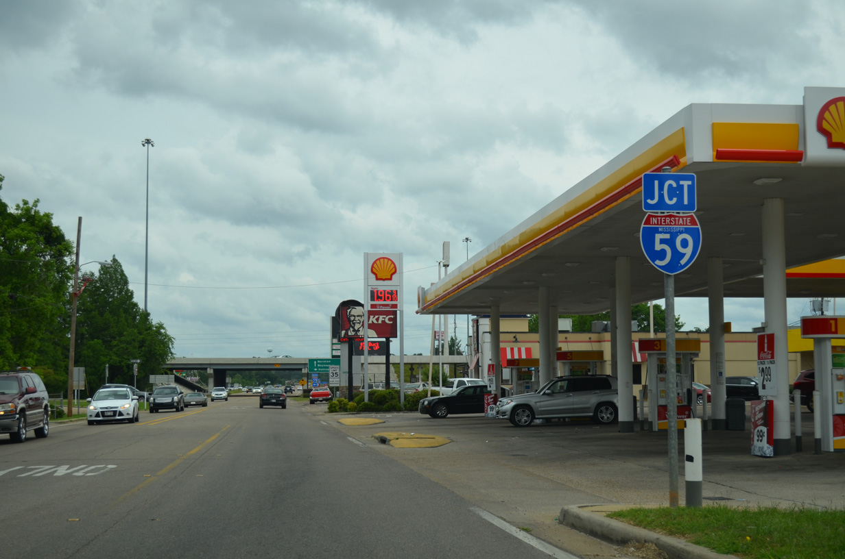
A parclo A2 interchange joins Chantilly Street with Interstate 59 and U.S. 84 west .
05/09/16
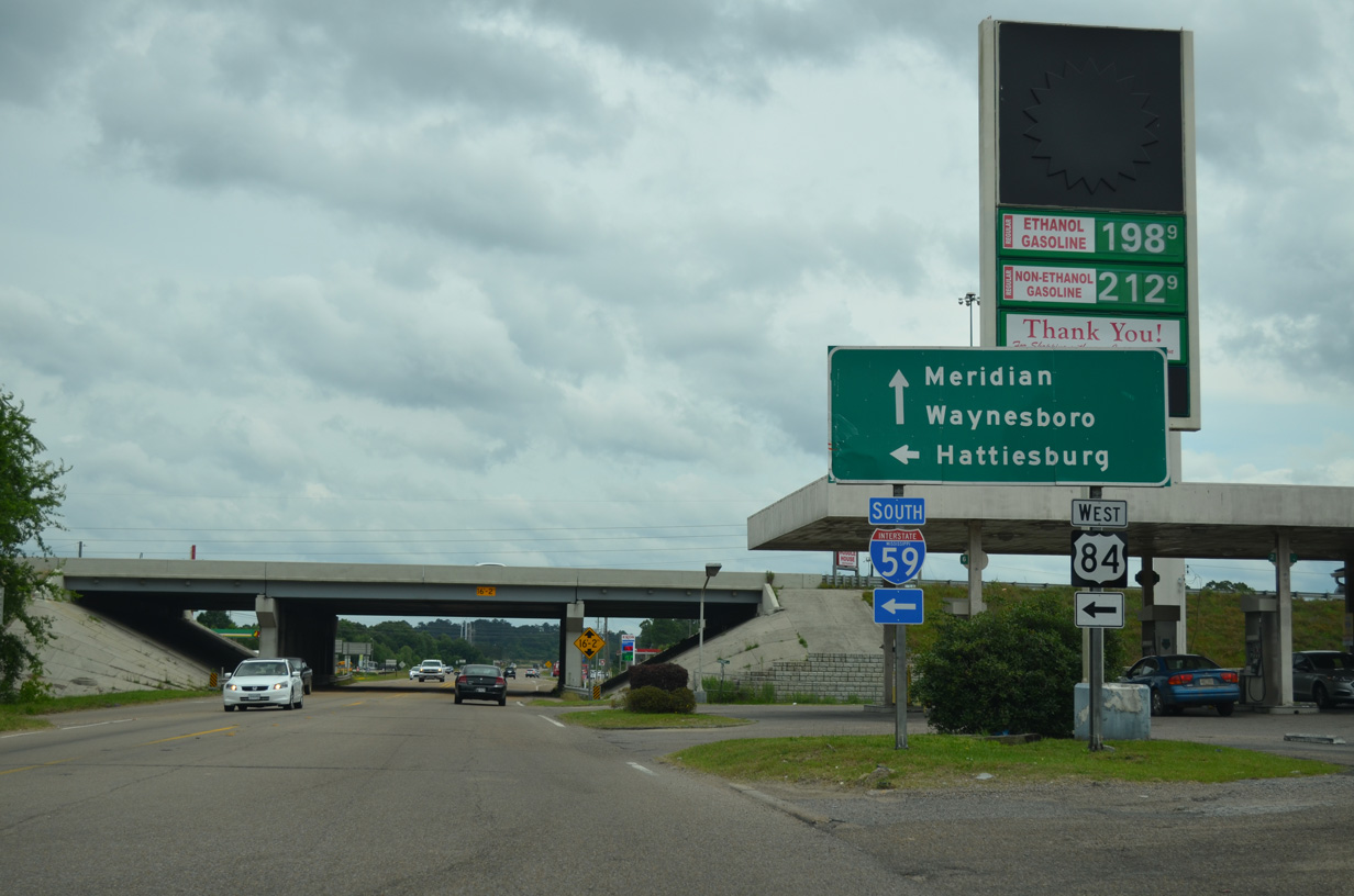
U.S. 84 west joins Interstate 59 south for 2.5 miles to bypass Downtown Laurel. U.S. 84 east overtakes Chantilly Street to the city line at Tallahala Creek en route to Waynesboro.
05/09/16
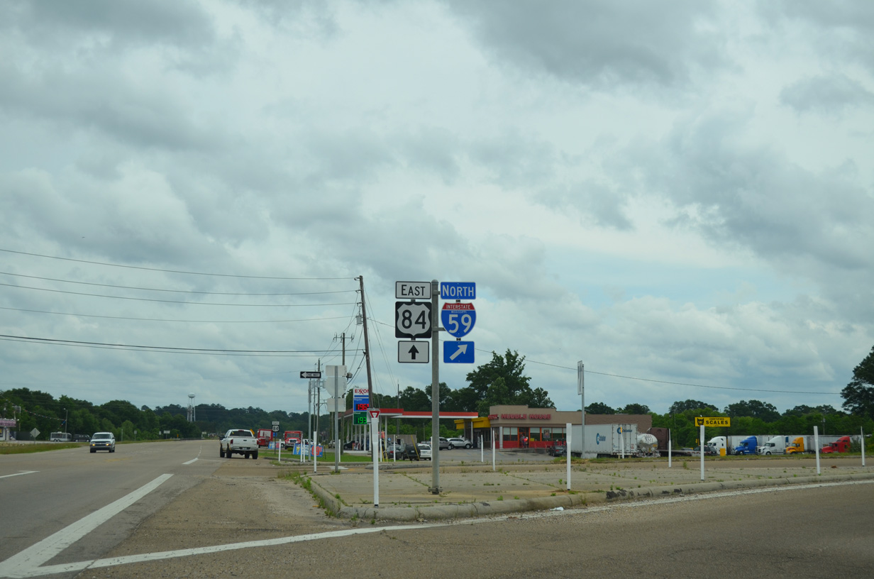
Interstate 59 continues northeast from U.S. 84 (Chantilly Street) 51.3 miles to overlap with I-20 east into Meridian.
05/09/16
Photo Credits:
- Alex Nitzman: 06/12/04, 05/09/16
- ABRoads: 09/07/09
- AARoads: 06/23/01
Connect with:
Page Updated Friday October 10, 2025.