
U.S. 89 South - Southern Utah
 South
South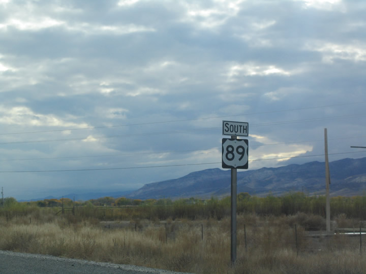
Southbound reassurance shield posted after the return of SR 256 (former U.S. 89) from the town of Redmond in Sevier County.
10/18/04
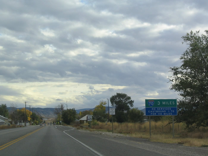
U.S. 89 enters the town of Salina three miles north of its junction with Interstate 70. The U.S. highway follows State Street through downtown and joins U.S. 50 east & Business Spur I-70 south of Main Street. A no services sign warns motorists of the Interstate 70 remoteness between Salina and Green River.
10/18/04
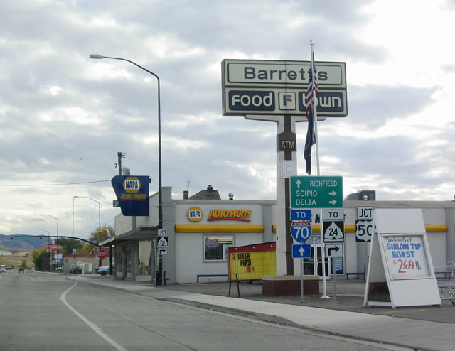
Nearing the merge with U.S. 50 on U.S. 89 (State Street) southbound. U.S. 50 enters town after intersecting SR 24 (former U.S. 89), 0.7 miles to the west.
10/18/04
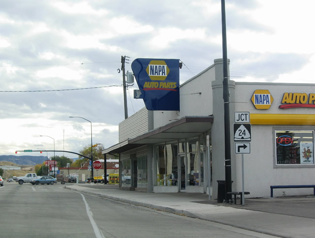
A second trailblazer referencing the U.S. 50 connection with SR 24. SR 24 travels southwest from Salina to Aurora and Interstate 70 (Exit 48). The state route comprises the pre-Interstate 70 route of U.S. 89 from Salina to Sigurd.
10/18/04
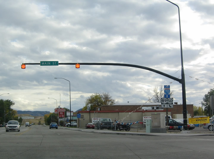
A set of flashers operate at U.S. 89 (State Street) and U.S. 50 (Main Street) in Salina. Business Spur I-70 begins and travels south 1.8 miles alongside U.S. 50 & 89.
10/18/04
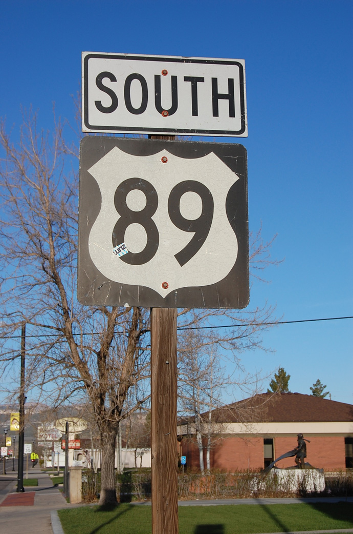
This U.S. 89 south route marker is posted in Panguitch.
04/28/11
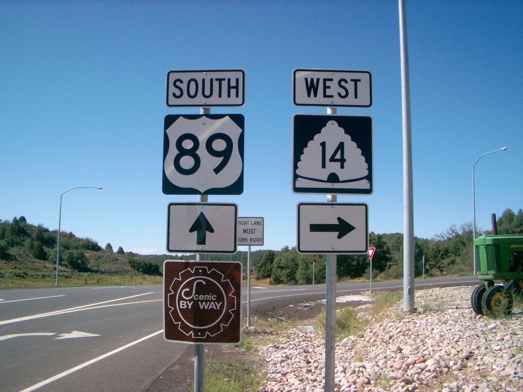
Southbound U.S. 89 meets SR 14 in Long Valley Junction. SR 14 ventures west to Cedar City, Brian Head and Cedar Breaks National Monument.
07/31/09
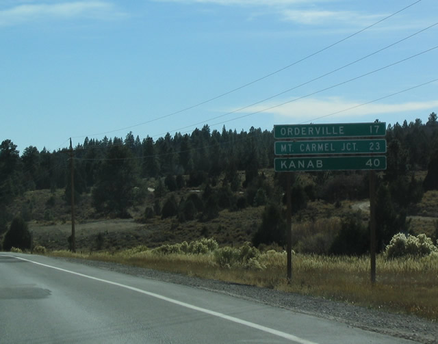
This distance sign provides the distance to Orderville, Mount Carmel (SR 9) and Kanab (U.S. 89A). These are the last three major towns along southbound U.S. 89 before entering Arizona.
10/25/03
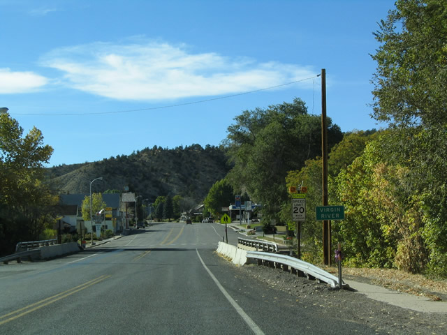
Having left the Great Basin and the Sevier River Valley, U.S. 89 now follows the path of the East Fork of the Virgin River, which drains into the Colorado River at Lake Mead southeast of Glendale, Nevada. This crossing is in Orderville.
10/25/03
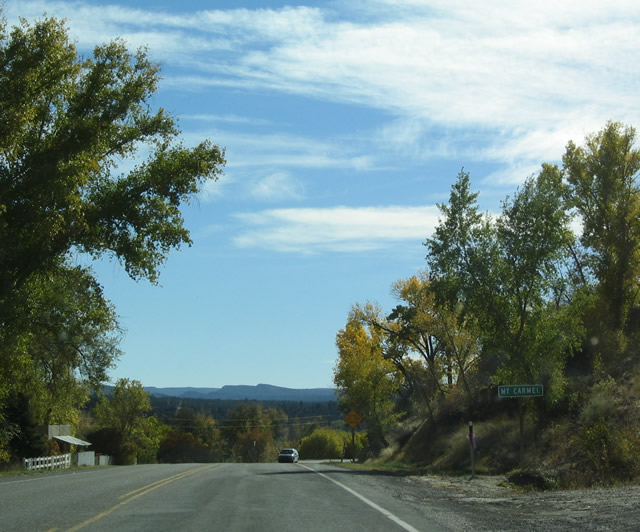
U.S. 89 enters the community of Mount Carmel along the East Fork of the Virgin River.
10/25/03
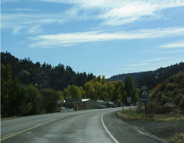
Junction SR 9 shield and scenic byway sign on southbound U.S. 89 in Mount Carmel.
10/25/03
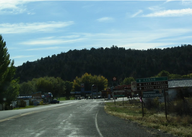
U.S. 89 continues south from SR 9 to Kanab (seat of Kane County) and U.S. 89A for Fredonia, Grand Canyon National Park and Glen Canyon National Recreation Area (Lake Powell).
10/25/03
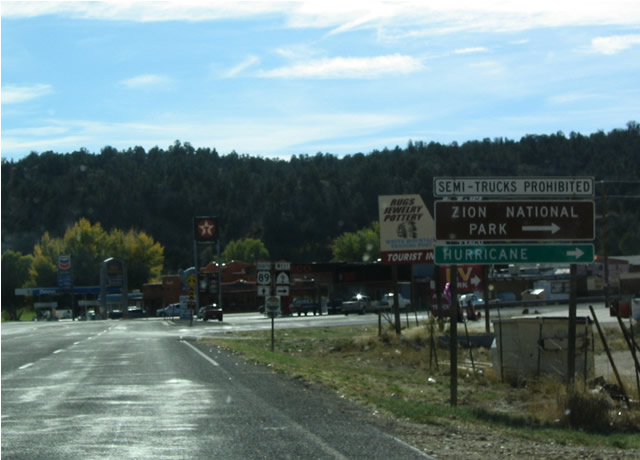
SR 9 is a restricted route due to the fact that it passes through Zion National Park. All traffic must pay a fee to enter the park, and semi-trucks are restricted from using the narrow highway and undersized tunnels through the park. An alternate route to St. George would be to use U.S. 89A south to Arizona 389, then east to SR 59 and SR 17.
10/25/03
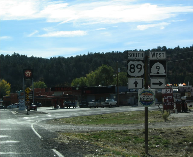
Southbound U.S. 89 meets SR 9 west at Mount Carmel Junction.
10/25/03
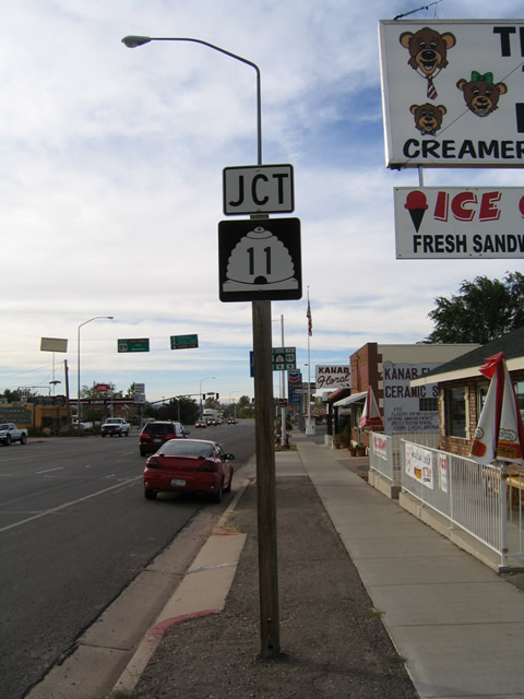
Heading further south into Kanab, U.S. 89 intersects U.S. 89A and SR 11. U.S. 89A was omitted from the junction assembly in 2003.
Kanab is the county seat of Kane County and had a population of 3,564 as of the 2000 Census. While the area was settled in 1870, it was not incorporated as a city until 1935. A hub for those seeking magnificent Southwestern scenery, many visit Kanab as a starting point to see Zion National Park, Bryce National Park, and Grand Canyon National Park, among many other scenic areas. The city of Kanab offers full services for travelers, including restaurants, motels, and gas stations.
10/26/03
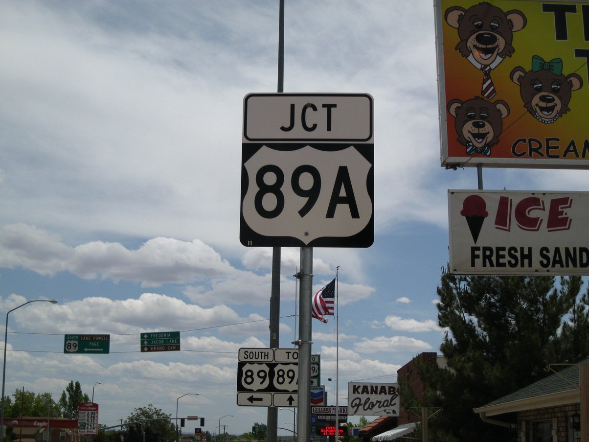
By 2011, the proper U.S. 89A trailblazer route marker had replaced the SR 11 junction sign previously posted on U.S. 89 south.
05/23/11
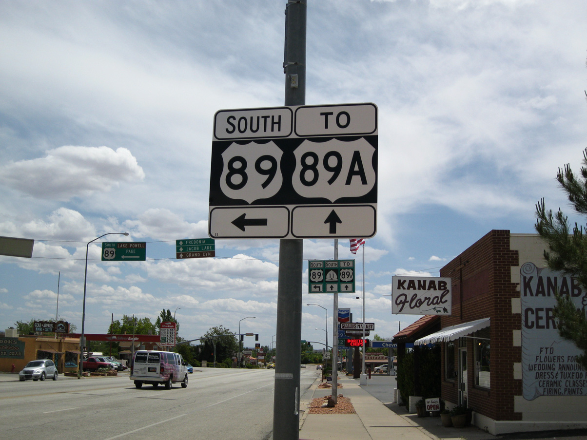
Southbound U.S. 89 (100 East) approaches SR 11 and U.S. 89A (300 South) in Downtown Kanab. U.S. 89A coincides with the legislative designation of SR 11.
07/31/09
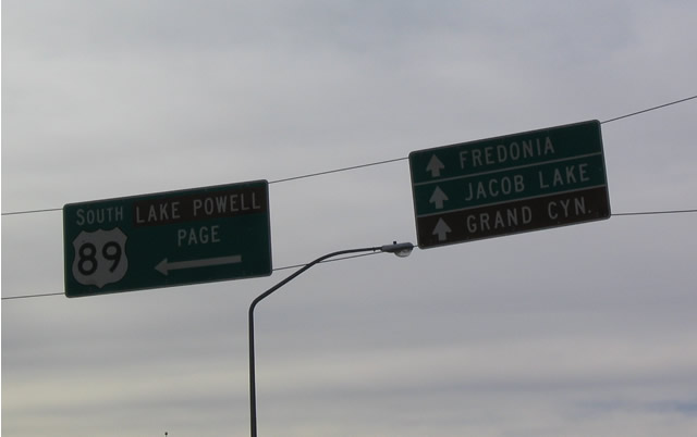
A set of span wire supported guide signs directed motorists to Lake Powell, Fredonia and other destinations. These were replaced with a mast-arm supported assembly by 2014. The destinations for southbound U.S. 89 include Lake Powell (Glen Canyon National Recreation Area) and Page, Arizona. The Grand Staircase-Escalante National Monument is omitted.
10/26/03
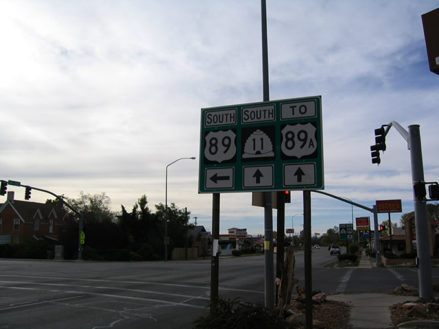
SR 11 is no longer posted on guide signs along U.S. 89 south at U.S. 89A in Kanab as of 2011.
10/26/03
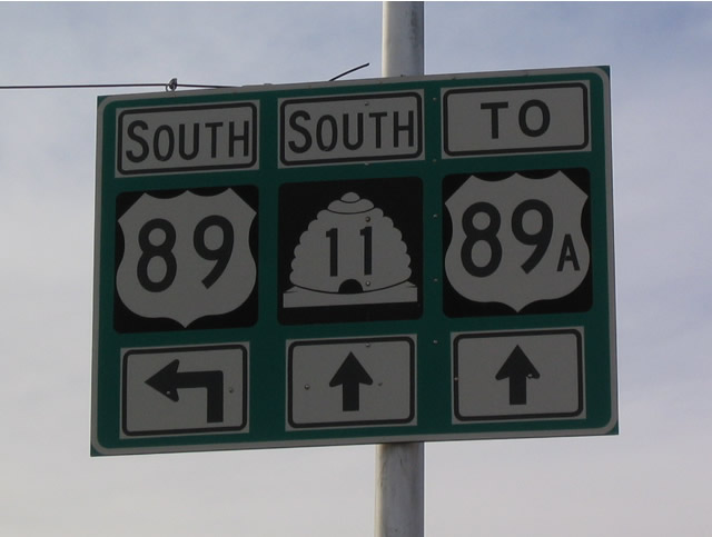
U.S. 89A overlaps with SR 11 south and enters Arizona in three miles. U.S. 89 remains in Utah much longer by traveling east toward Glen Canyon Dam. This allows U.S. 89 to avoid Grand Canyon National Park, through which no north-south highway passes.
10/26/03
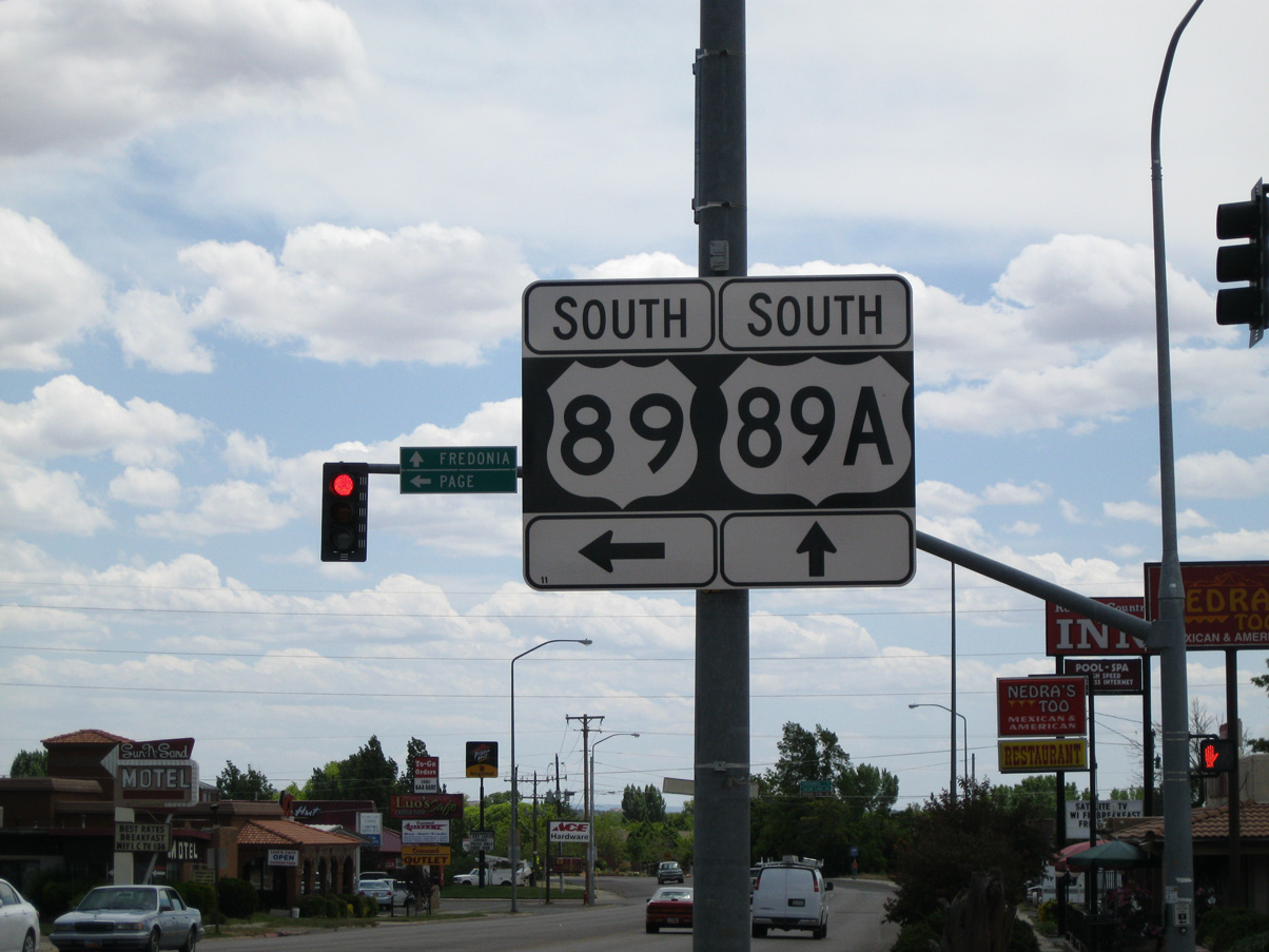
Installed in 2011, this sign references U.S. 89A in place of SR 11 for the bannered route leading south toward the Grand Canyon. SR 11/U.S. 89A heads south to Arizona destinations, including Fredonia, Jacob Lake and Grand Canyon National Park. U.S. 89A is an alternate to U.S. 89, and they rejoin at Bitter Springs, south of Antelope Pass.
05/23/11
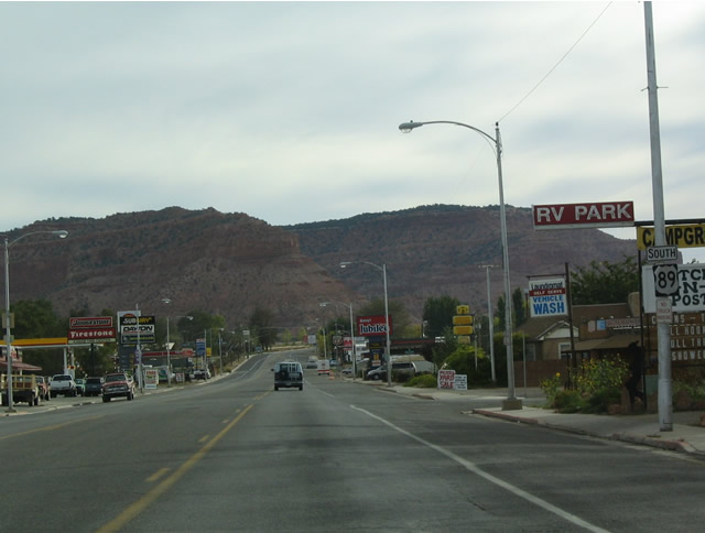
U.S. 89 passes through the rest of the city of Kanab after its split with U.S. 89A. From here, U.S. 89 approaches the Grand Staircase-Escalante National Monument, which is a newer monument that was created by President Clinton's declaration in 2000.
10/26/03
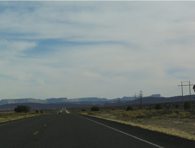
The Grand Staircase is visible in the distance along southbound U.S. 89 (actually looking east from here). Unlike most neighboring national parks and monuments, Grand Staircase-Escalante National Monument is operated by the U.S. Bureau of Land Management (BLM). Separated into three distinct zones, the Grand Staircase, the Kaiparowits Plateau, and the Canyons of the Escalante, the monument is over 1.9 million acres in size. Most of the monument is remote, with only U.S. 89 and SR 12 offering primary highway access. U.S. 89 primary traverses the Grand Staircase area, which consists of five "steps": the Chocolate Cliffs, Vermilion Cliffs, White Cliffs, Gray Cliffs, and Pink Cliffs. With each rise, the biomes shift from Sonoran desert to coniferous forests.
10/26/03
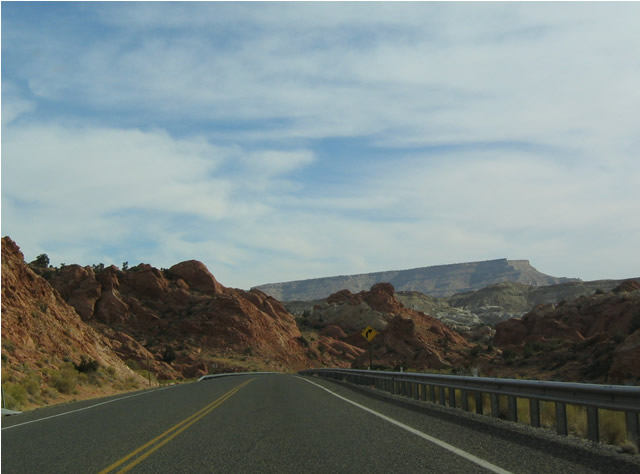
As U.S. 89 exits Kanab, it follows an east-west alignment rather than north-south, staying north of Arizona until reaching Lake Powell and Glen Canyon National Recreation Area. There are no major services along U.S. 89 between Kanab and Page, Arizona; however, the scenery is breathtaking, especially for its lack of development.
10/26/03
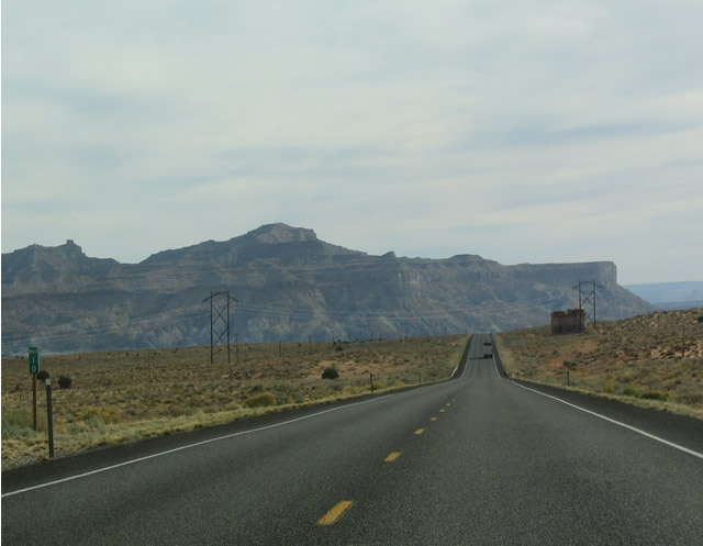
Ten miles ahead of the Arizona state line on U.S. 89 south.
10/26/03
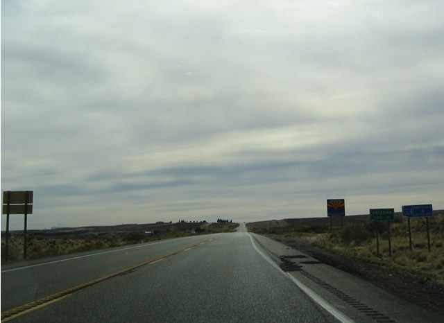
U.S. 89 south exits the Beehive State and enters the Grand Canyon State after paralleling the Utah-Arizona state line for nearly 70 miles.
10/26/03
Photo Credits:
- AARoads: 10/18/04
- Karl Forth: 04/28/11
- Andy Field: 10/25/03, 10/26/03, 07/31/09
- Landry Heaton: 05/23/11
Connect with:


Page Updated Thursday June 30, 2016.