
U.S. 90 East - Pearlington to Bay St. Louis

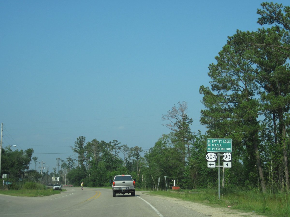
0.34 miles east into Mississippi, U.S. 90 intersects the west end of MS 604. MS 604 comprises a 5.11 mile long highway north through Pearlington to MS 607 near Interstate 10.
06/09/10
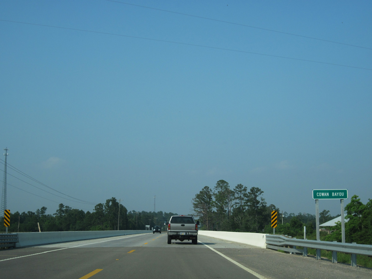
U.S. 90 proceeds northeast from MS 604 through Pearlington across Cowan Bayou.
06/09/10
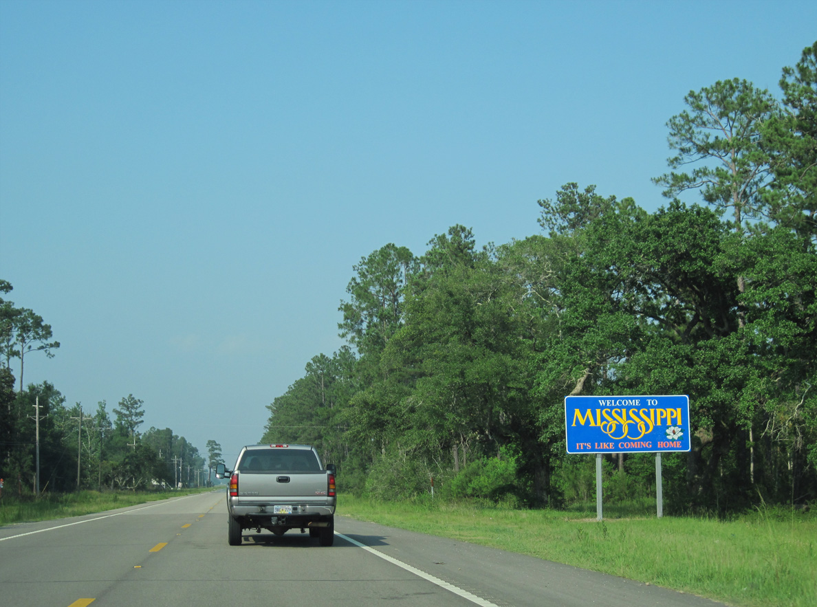
The Mississippi welcome sign for U.S. 90 east appears just beyond Florida Boulevard at Pearlington.
06/09/10

U.S. 90 spans Whites Bayou between 11th Avenue and Jenness Road at Pearlington.
06/09/10
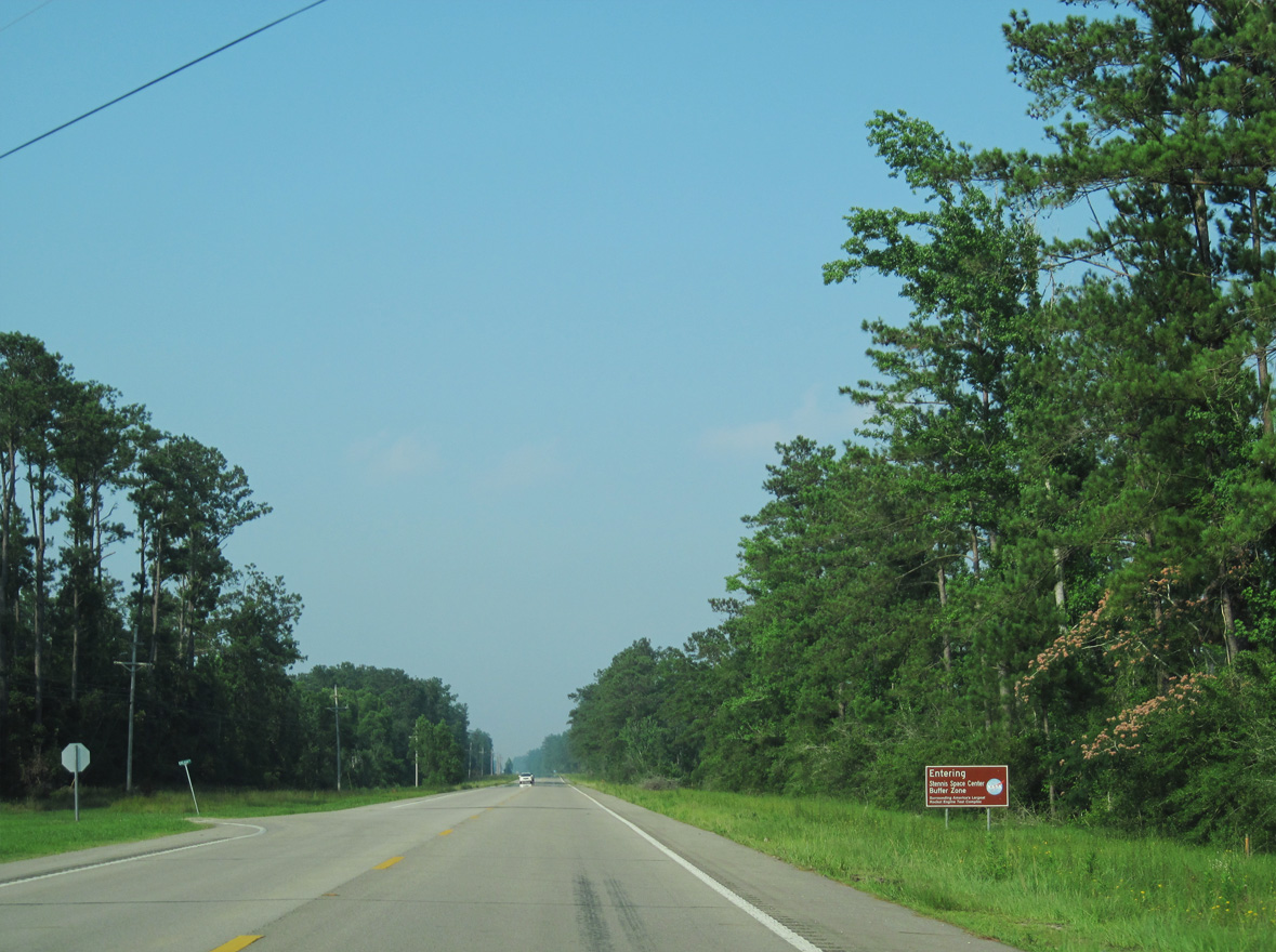
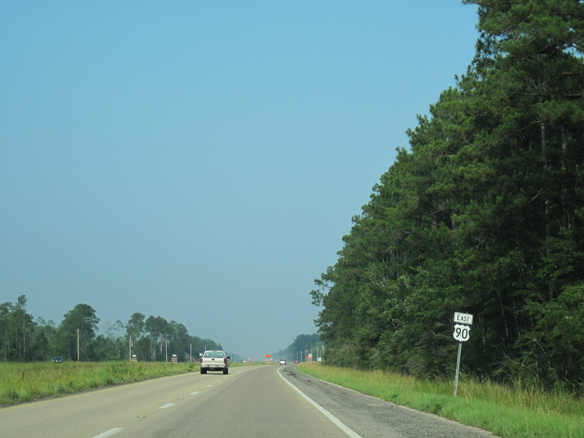
Leaving Pearlington, U.S. 90 enters the Stennis Space Center Buffer Zone eastbound at Dean Road.
06/09/10
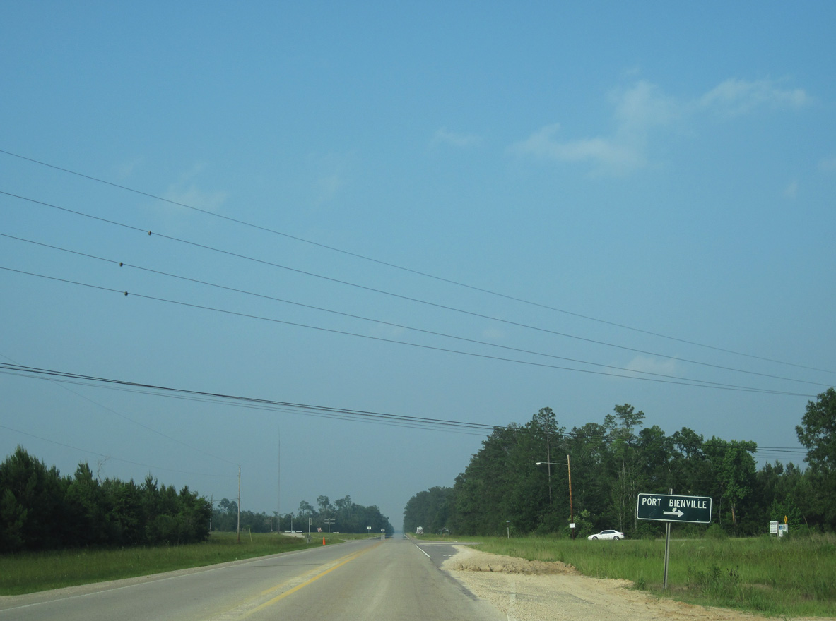
Lower Bay Road heads 2.72 miles south from U.S. 90 to Port Bienville Industrial Park as part of a 13.70 mile long loop course east to U.S. 90 along the Waveland city line.
06/09/10

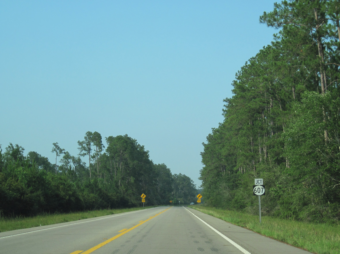
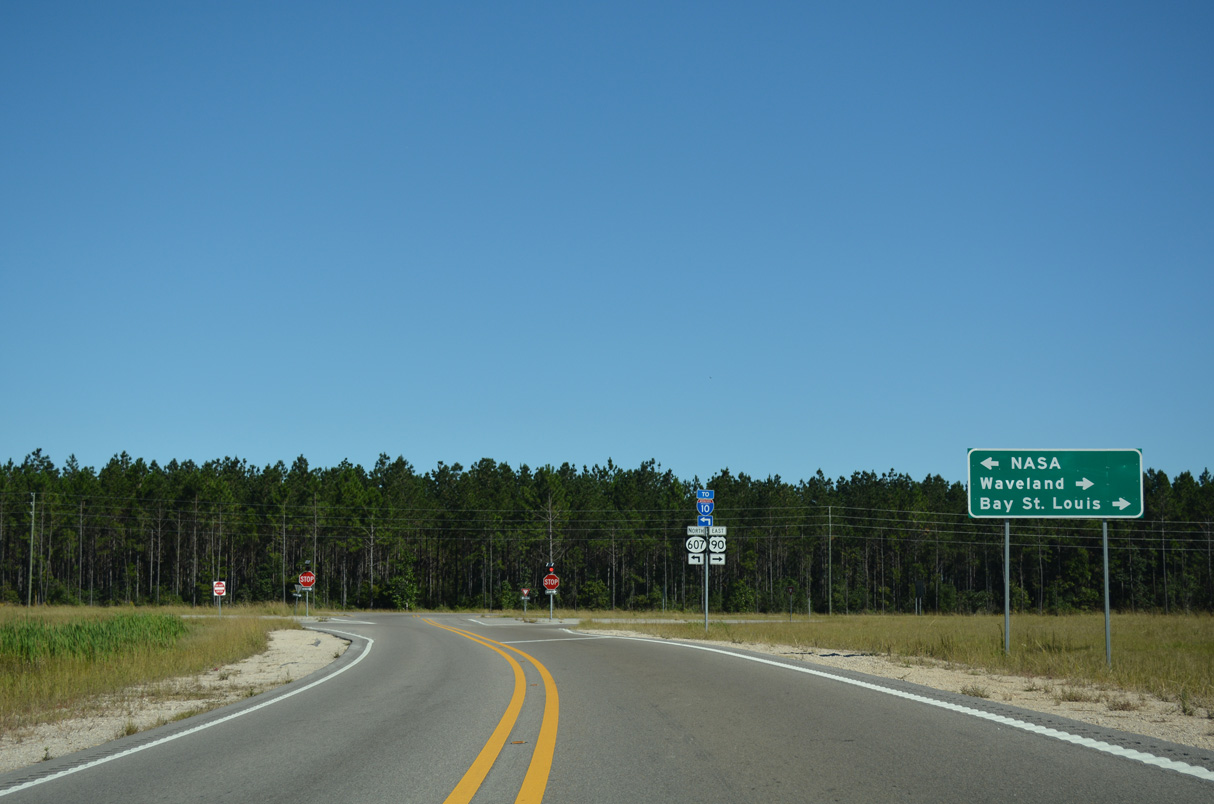
U.S. 90 overtakes the four lane highway extending east along MS 607 from Interstate 10 toward Waveland.
10/12/16
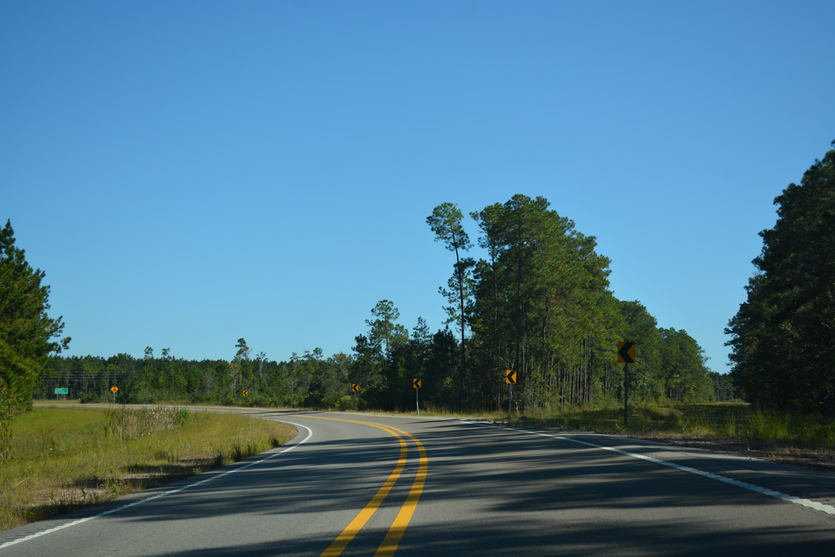
Construction underway in 2012 realigned U.S. 90 to intersect MS 607 at a right angle. The former alignment met MS 607 at an angled intersection to the east.
06/09/10
The old right of way for U.S. 90 northeast to MS 607.
10/12/16
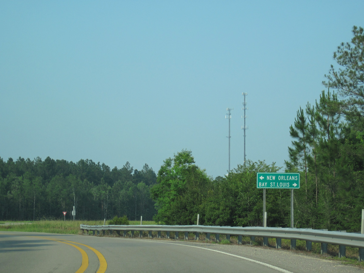
The guide sign at the east end of MS 607 previously referenced New Orleans in place of NASA.
06/09/10
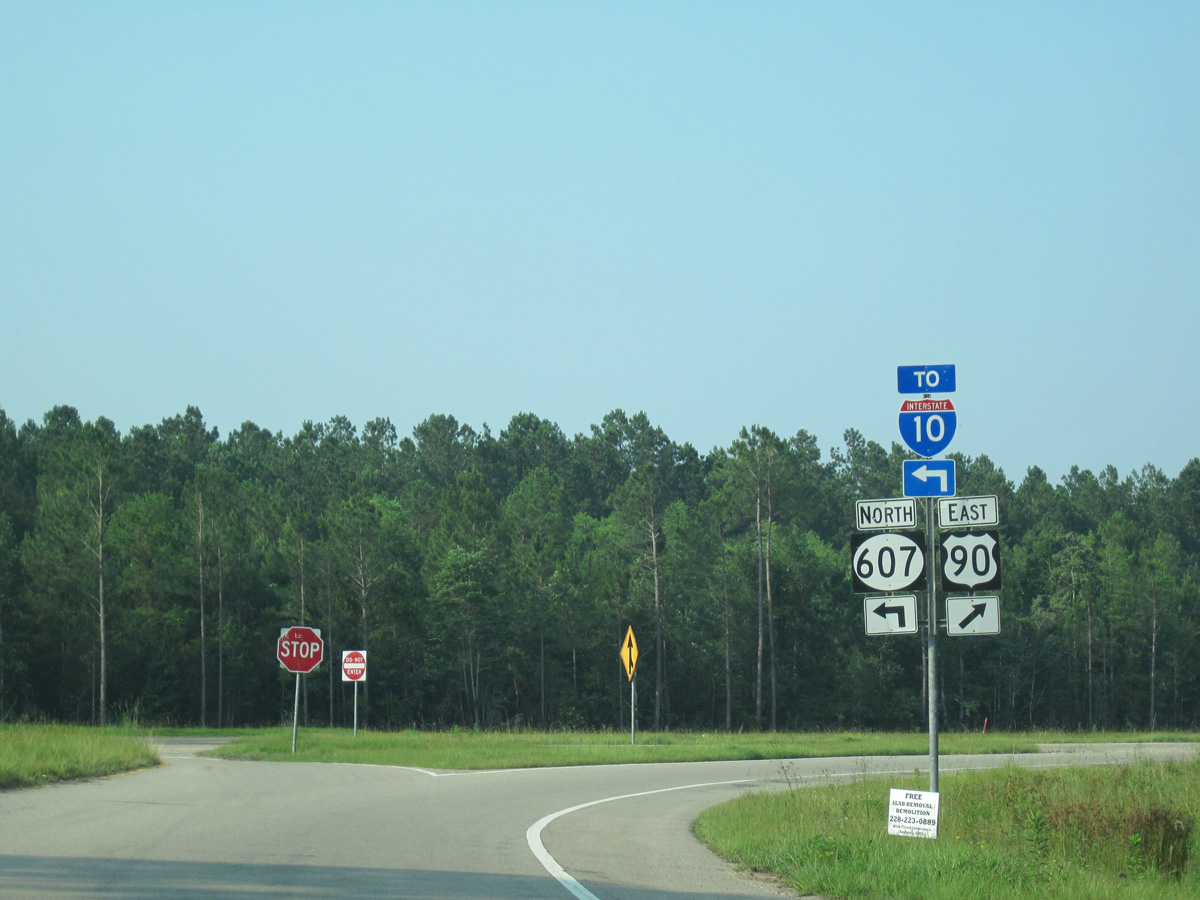
Prior to 2013, U.S. 90 overtook MS 607 east toward Waveland from a free flowing right turn.
10/12/16
Split into sections, the eastern branch of MS 607 travels 8.81 miles northwest to Interstate 10 and Shuttle Parkway into John C. Stennis Space Center. The western branch of MS 607 extends 6.78 miles north from Shuttle Parkway and the space center from Santa Rosa to I-59/U.S. 11 at Nicholson.
10/12/16

MS 607 heads 5.59 miles west from U.S. 90 to a diamond interchange (Exit 2) with Interstate 10.
10/12/16
The confirming marker for U.S. 90 posted east of MS 607 was not retained following the 2012/13 construction realigning the U.S. 90/MS 607 intersection.
06/09/10
U.S. 90 east ahead of Cypress Street during early construction of the Hancock County Public Safety Complex.
06/09/10
U.S. 90 east ahead of Hancock Drive. The concrete roadways along U.S. 90 were paved over with asphalt by 2023.
06/09/10

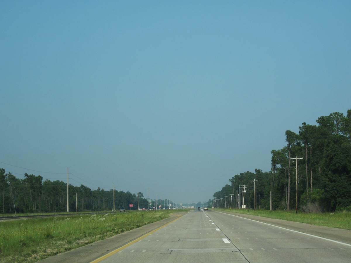
Continuing into the city of Waveland east from Lower Bay Road, U.S. 90 curves northward from the intersection with Bloom Place.
06/09/10

Kiln Waveland Cutoff Road ties into U.S. 90 at a signalized intersection across from Waveland Avenue, 1.46 miles south from MS 43/603.
06/09/10
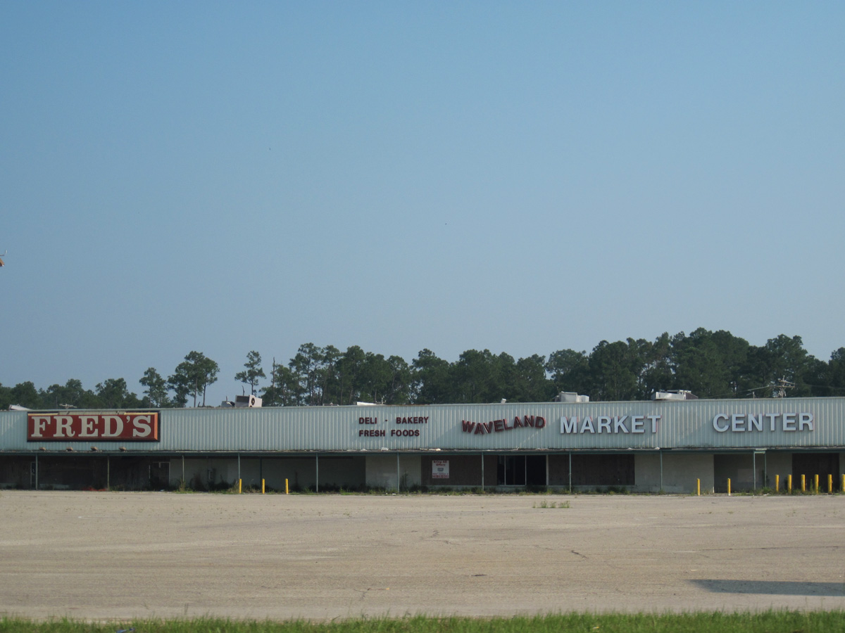
The shuttered Waveland Market Center retail plaza at the southeast corner of U.S. 90 and Waveland Avenue was demolished after 2010.
06/09/10
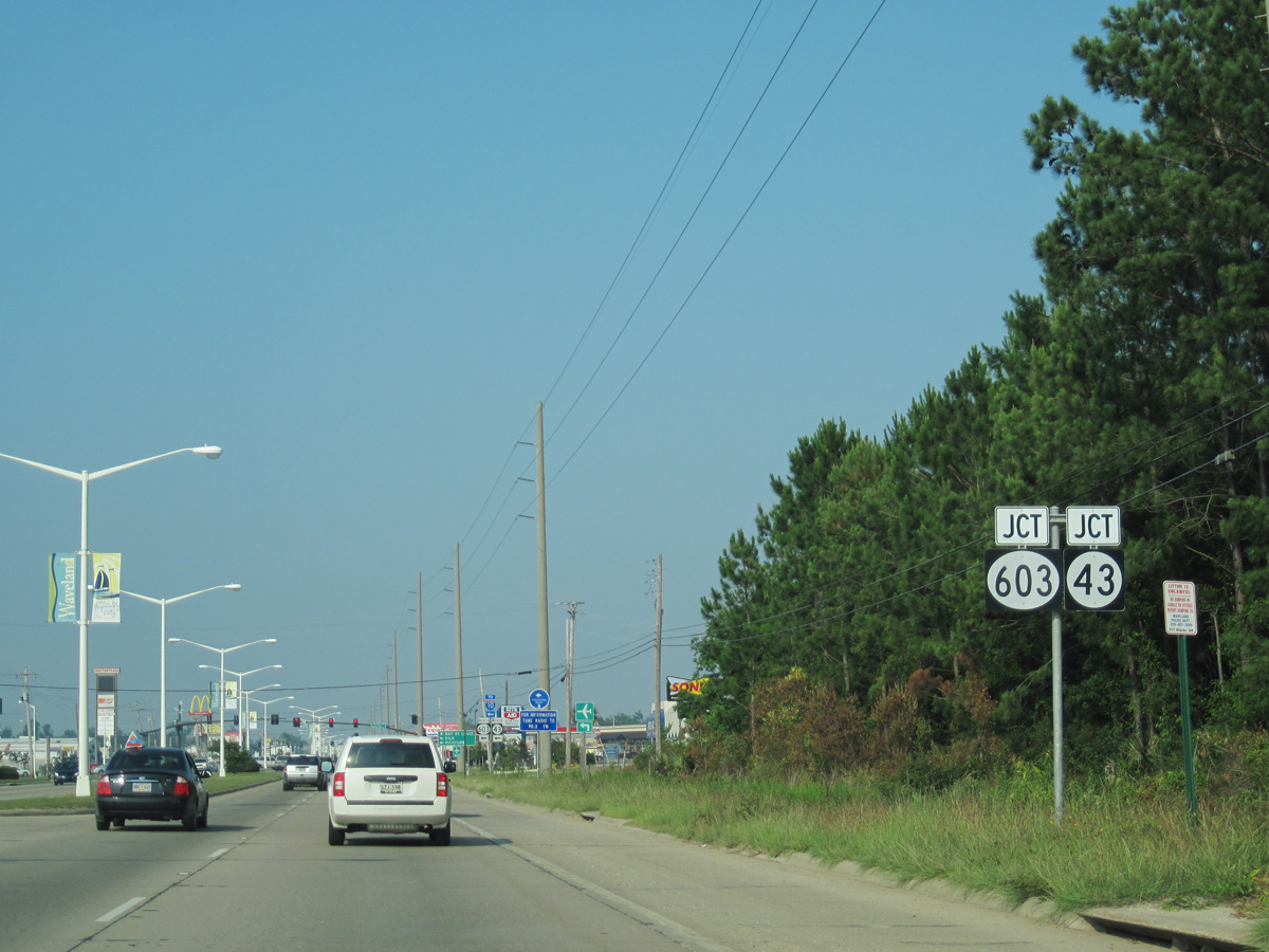
MS 43/603 converge with U.S. 90, 5.36 miles southeast from a diamond interchange (Exit 13) with Interstate 10.
06/09/10
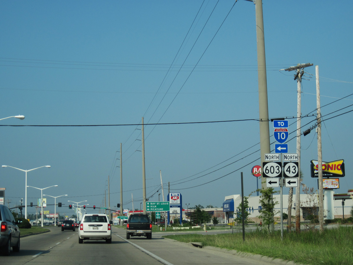
MS 43/603 overlap 11.21 miles north from U.S. 90 in Waveland to Kiln. MS 43 travels northwest to Picayune while MS 603 connects with MS 53 north of Necaise.
06/09/10
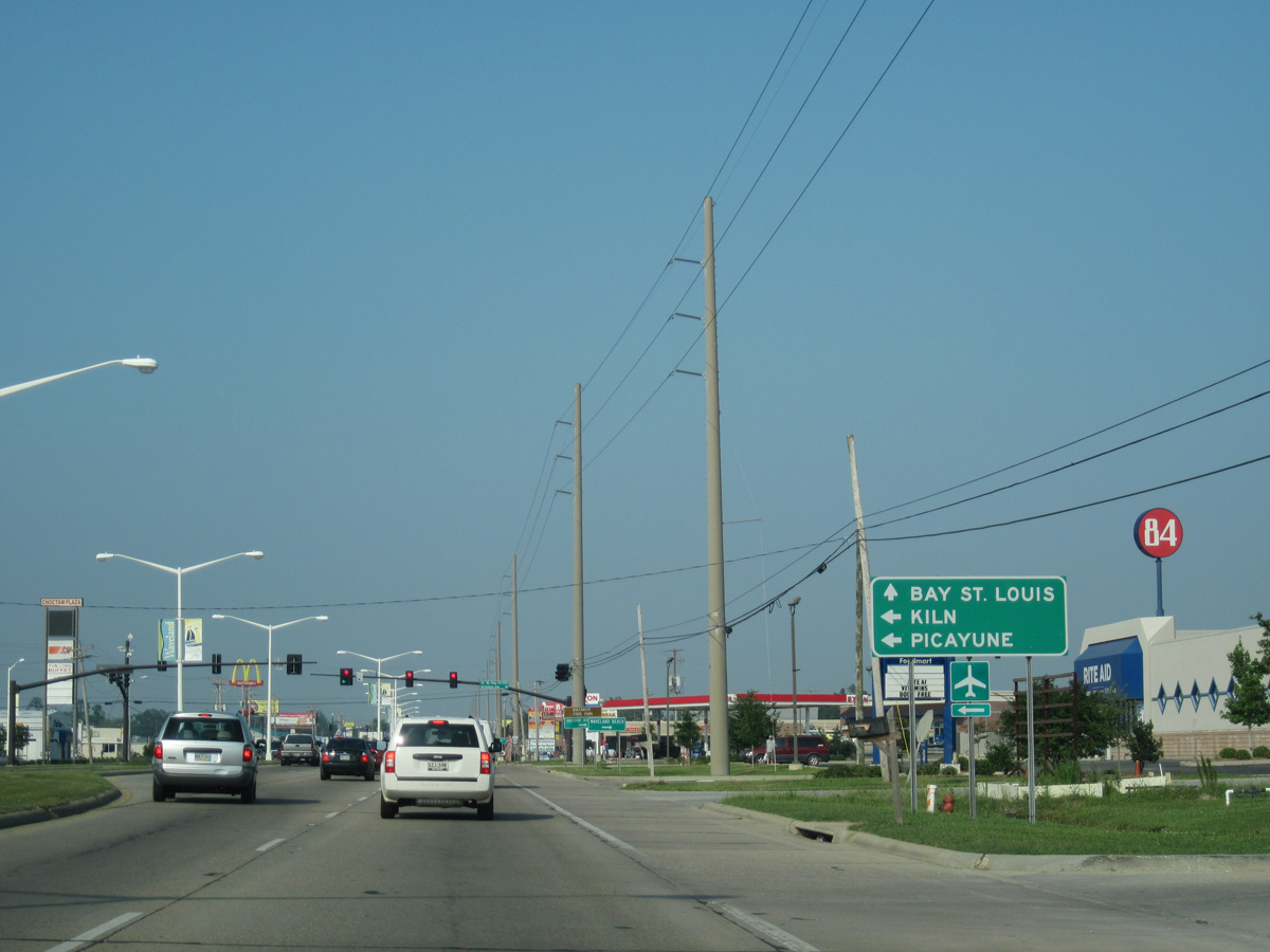
Nicholson Avenue extends 1.63 miles southeast from U.S. 90 at MS 43/603 to Beach Boulevard (MS 606) along Mississippi Sound.
06/09/10
U.S. 90 confirming marker posted east of MS 43/603 and Nicholson Avenue.
06/09/10
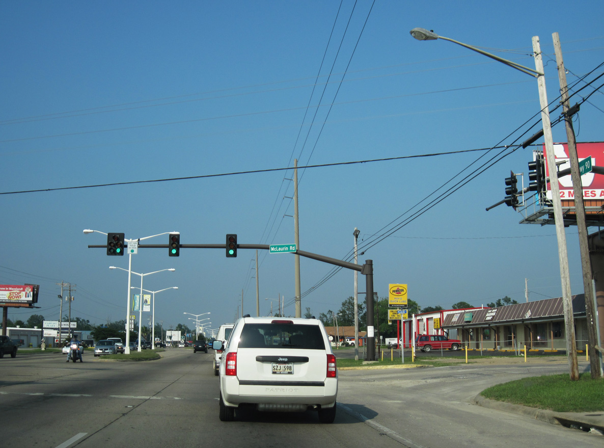
McLaurin Street intersects U.S. 90 south from Longfellow Road in Bay St. Louis.
06/09/10
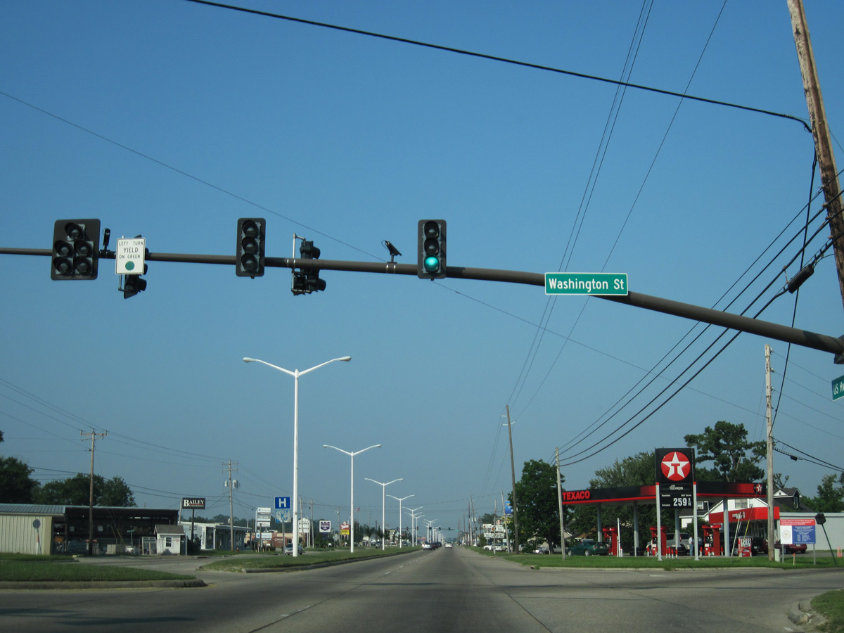
Washington Street angles southeast across U.S. 90 in the city of Bay St. Louis.
06/09/10
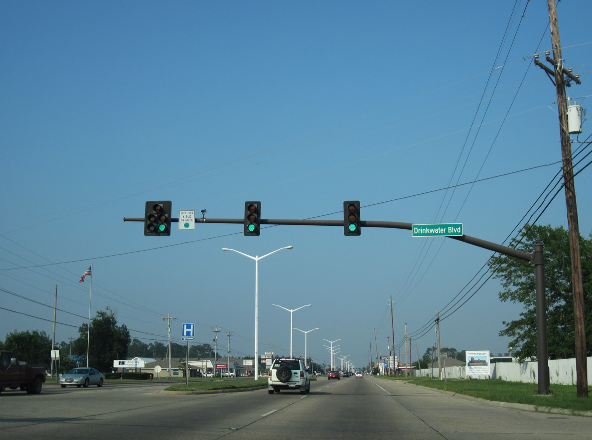
The Hancock County Courthouse is located at U.S. 90 and Drinkwater Boulevard in Bay St. Louis.
06/09/10
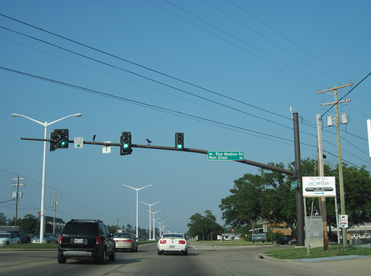
Blue Meadow Road south and Main Street west come together at U.S. 90 by Zuppardo's Bay Plaza shopping center.
06/09/10
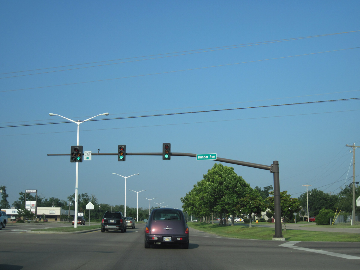
Dunbar Avenue leads south into residential areas of Bay St. Louis and north to N Beach Boulevard (MS 606) by Cowand Point along St. Louis Bay.
06/09/10

Beach Boulevard is MS 606, an 11.80 mile long unsigned route north to the Cedar Point Boat Launch on St. Louis Bay and south to Bayou Caddy along Mississippi Sound.
06/09/10
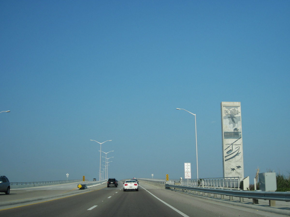
Costing $266.8 million to construct (Mississippi Press, 2008), the St. Louis Bay Bridge initially opened to traffic with two lanes on May 17, 2007 (LaFontaine, 2007a).
06/09/10

Destroyed by Hurricane Katrina on August 29, 2005 (LaFontaine, 2007a), the original St. Louis Bay Bridge along U.S. 90 opened to traffic in August 1953 (LaFontaine, 2007b).
06/09/10
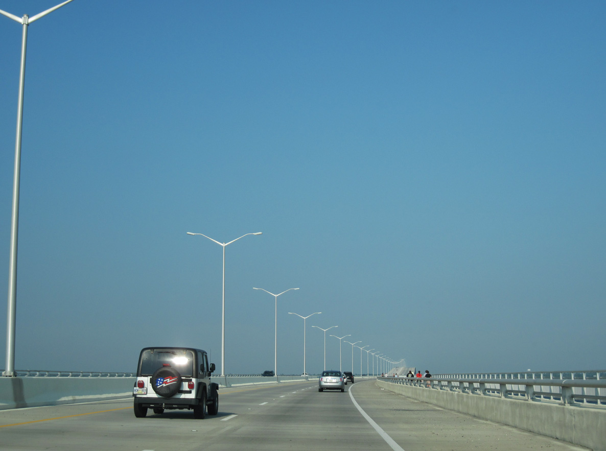
With the completion of the westbound lanes (LaFontaine, 2007c), the St. Louis Bay Bridge fully opened to traffic on January 4, 2008 (Mississippi Press, 2008).
06/09/10
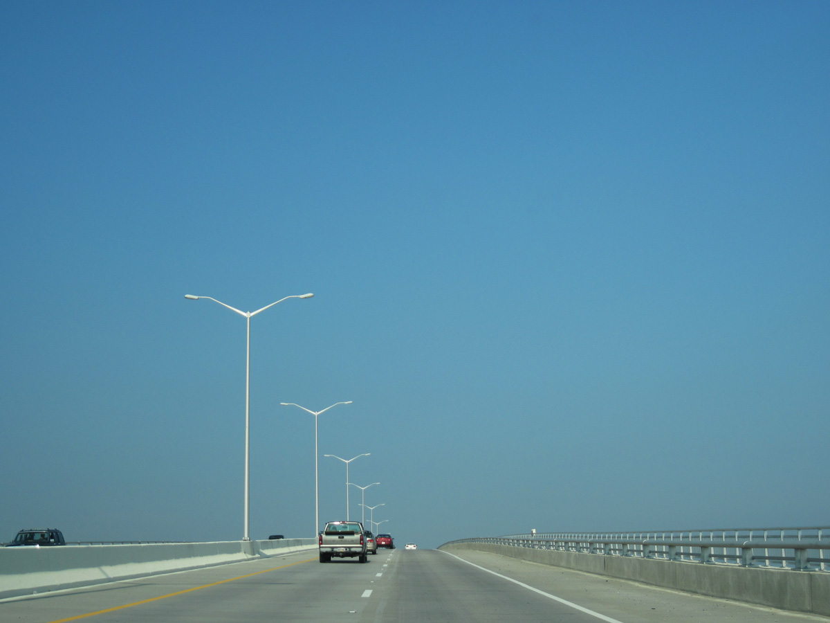
The St. Louis Bay Bridge crests at 85 feet (LaFontaine, 2007a).
06/09/10

References:
State Briefs. (2008, January 7). The Mississippi Press.
LaFontaine, R. (2007, May 16). The New Bay Ridge is Just a Day Away. The Sun Herald.
LaFontaine, R. (2007, November 28). Bridge work turns frantic - All 4 lanes due open by Jan. 5. The Sun Herald.
LaFontaine, R. (2007, May 13). Celebrating counties' reunion - Bay has big plans to mark the occasion of bridge lanes' opening. The Sun Herald.
Photo Credits:
- Alex Nitzman, Lou Corsaro: 06/09/10
- Alex Nitzman: 10/12/16
Page Updated Tuesday February 17, 2026.