
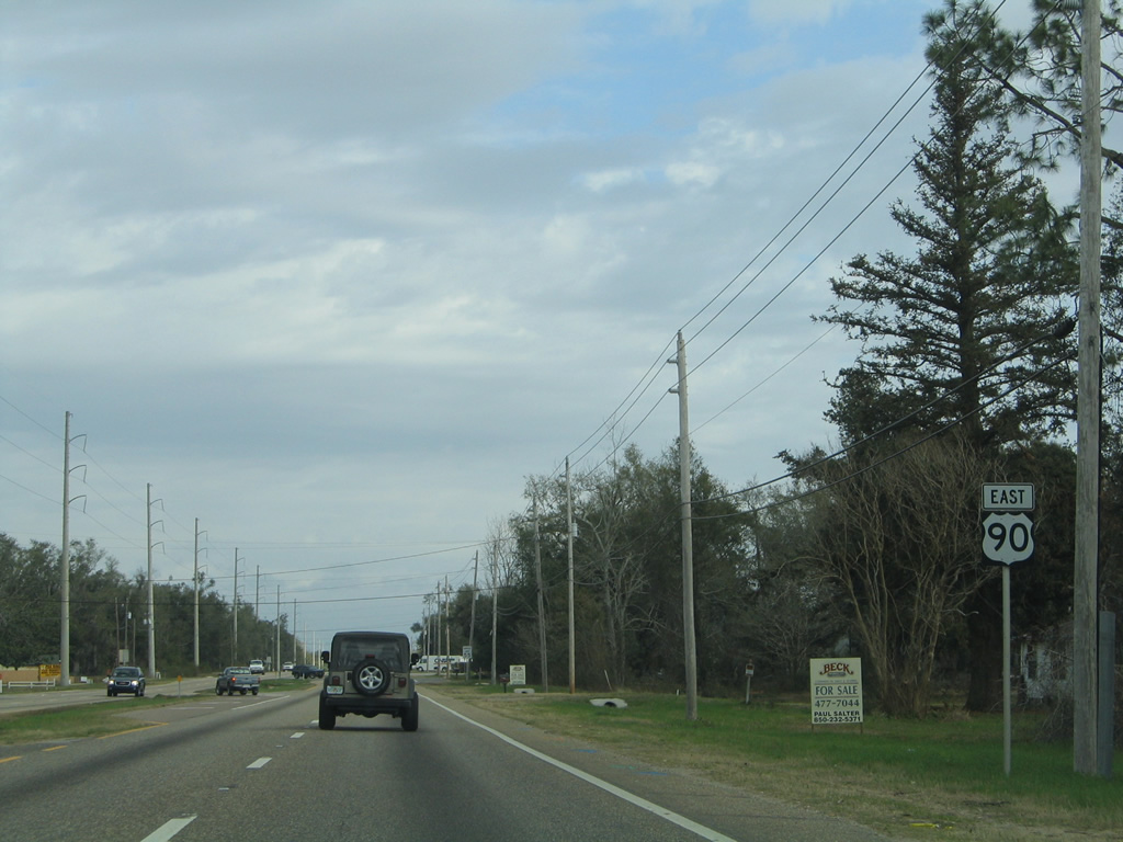
U.S. 90 East - Santa Rosa County
 East
East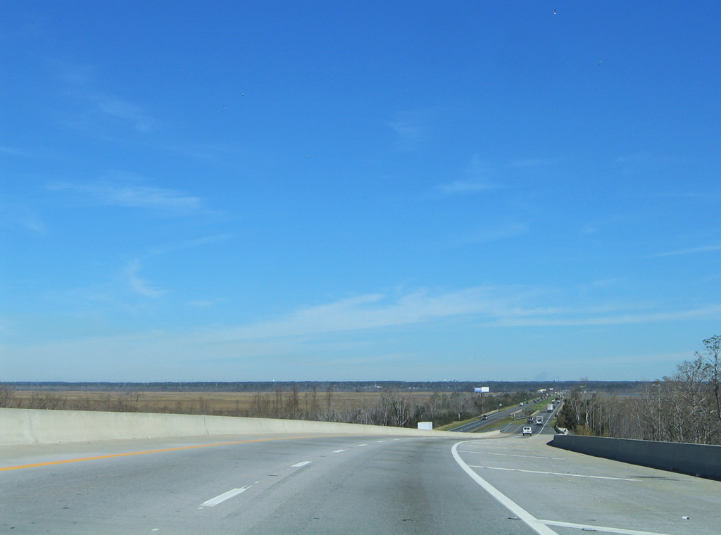
Lowering from the Escambia River bridge into Santa Rosa County. The September 15, 2004 landfall of Hurricane Ivan washed out parts of the four lane causeway between the crossing and Pace. Two-way traffic was routed onto the westbound lanes for a week while the eastbound roadway was repaired.
02/01/06

The causeway along U.S. 90 also crosses Saultsman Bayou and the White River. Westbound bridges opened between 1949 and 1953. Eastbound spans date from 1970.
01/30/06
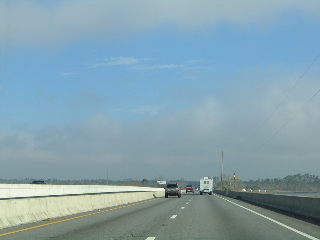
Two additional bridges along the U.S. 90 causeway system cross the mouth of the Bannahassee, Dead, and Simpson Rivers and Bass Hole Cove. The westbound bridge over the Simpson River was replaced in 1997 with a higher span.
01/30/06
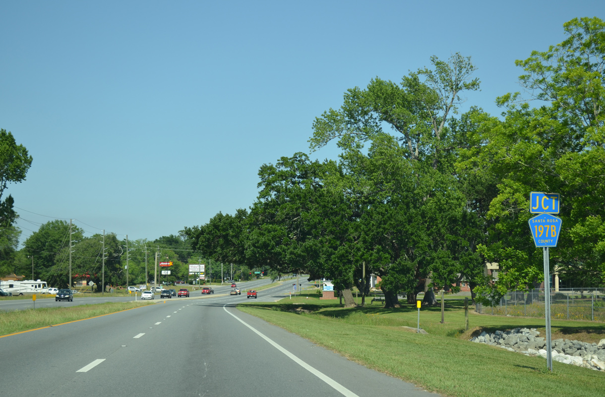
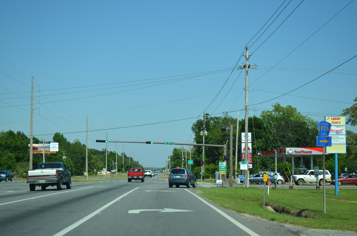
U.S. 90 emerges from the three mile long causeway system across northern reaches of the Escambia Bay ahead of CR 197A (Woodbine Road). Woodbine Road runs west of Pace 3.73 miles northward to CR 184 and CR 197.
01/18/06
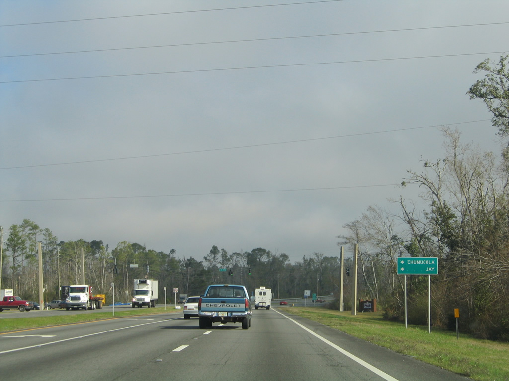
CR 197A (Woodbine Road) connects U.S. 90 with CR 184 (Quintette Road) west, CR 197 (Chumuckla Highway) north and CR 184A (Berryhill Road) east. CR 184 arcs westward along Quintette Road to U.S. 29 north of Cantonment in Escambia County. Chumuckla Highway continues north toward Jay and Berryhill Road east to Milton.
01/30/06
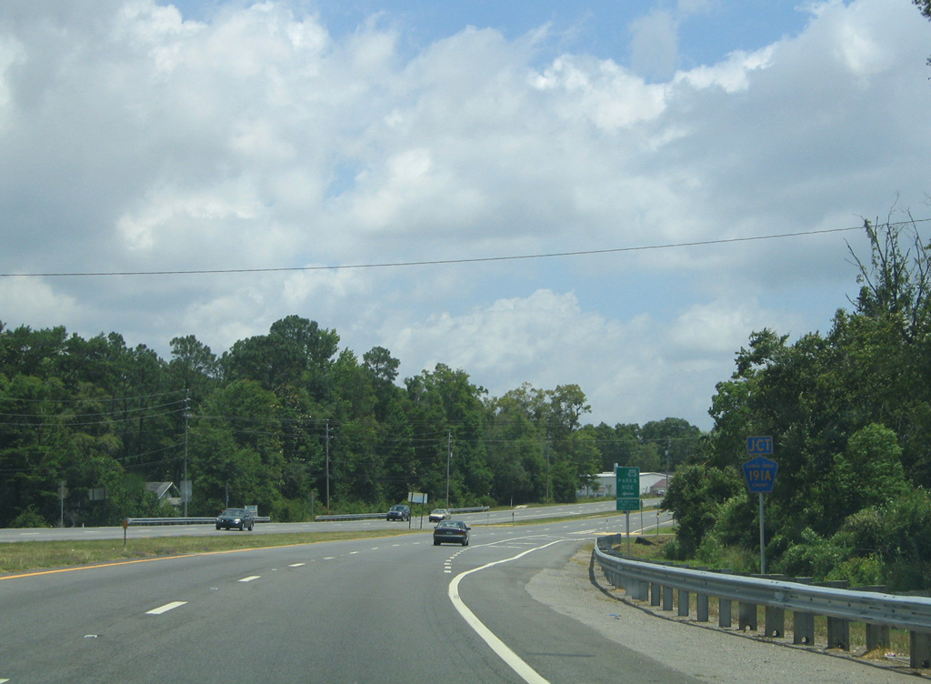
Curving away from Woodbine Road, U.S. 90 advances east to Diamond Street (CR 191A).
05/31/04
Diamond Street spurs east to County Road 197 (Floridatown Road), north of Floridatown on Escambia Bay.
01/30/06

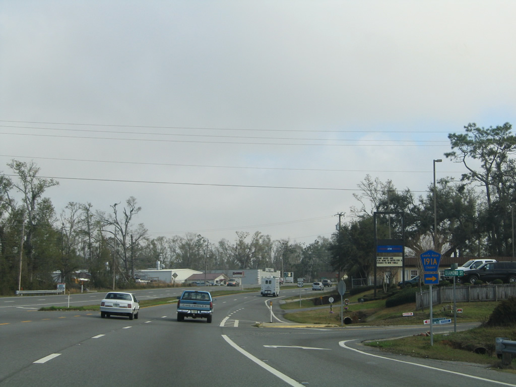
U.S. 90 confirming marker posted beyond Diamond Street (CR 191A) at Pace. Separate segments of CR 191A are designated both at Oriole Beach and between Galt City and Bagdad.
05/31/04
Chumuckla Highway converges with U.S. 90 across from Parkview Street in Pace. Santa Rosa County Road 197 extends south along Parkview Street to Florida Town Park along Escambia Bay.
01/30/06
CR 197 follows Chumuckla Highway northward from Pace to the rural communities of Wallace, Chumuckla, New York and Brownsdale. The 27.63 mile route ends at SR 89, south of Jay.
02/06/06
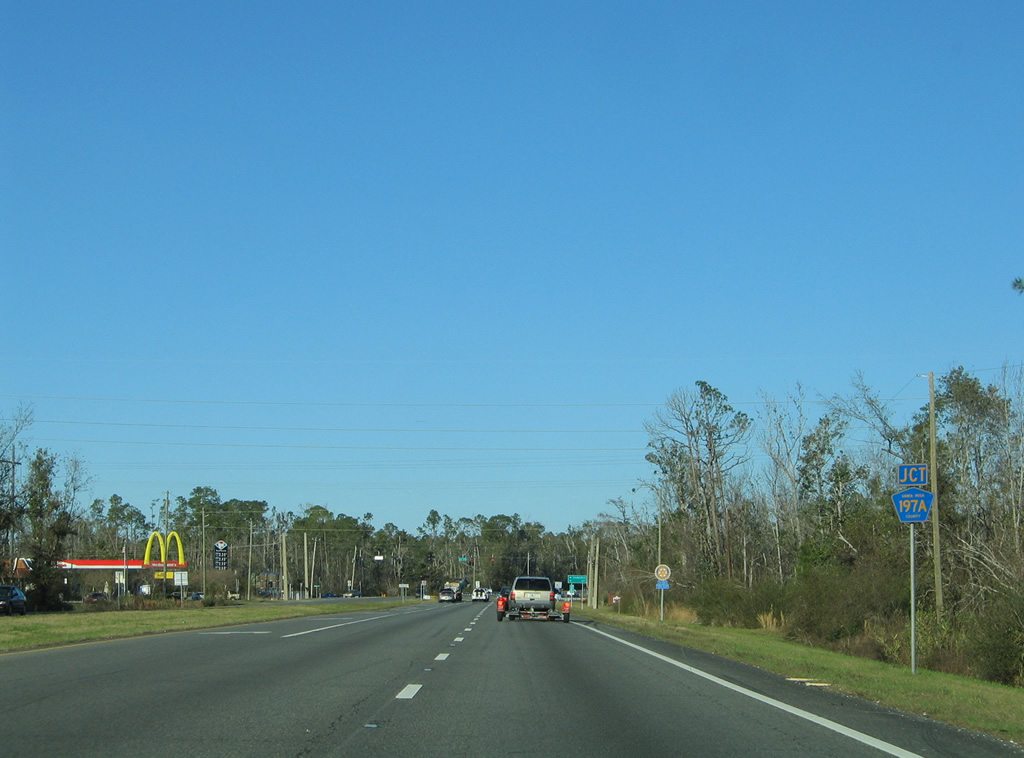
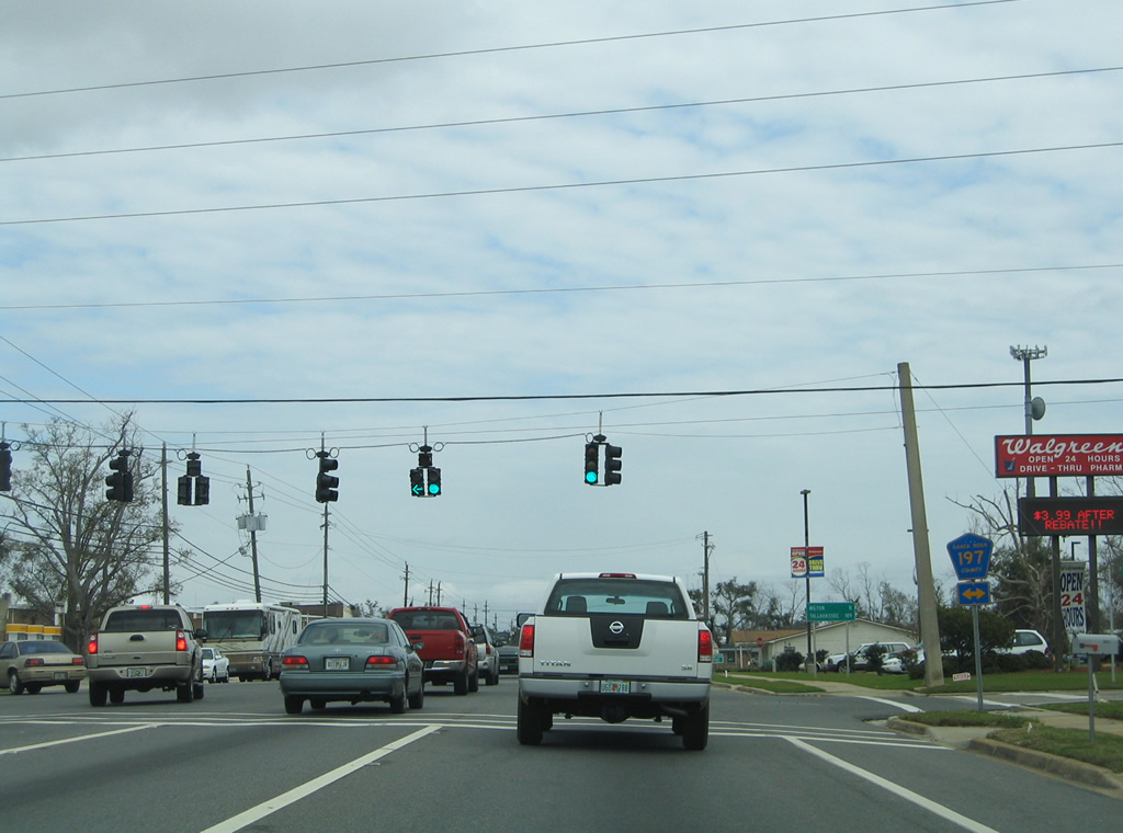
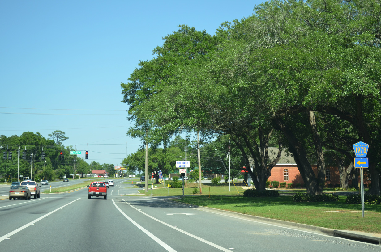
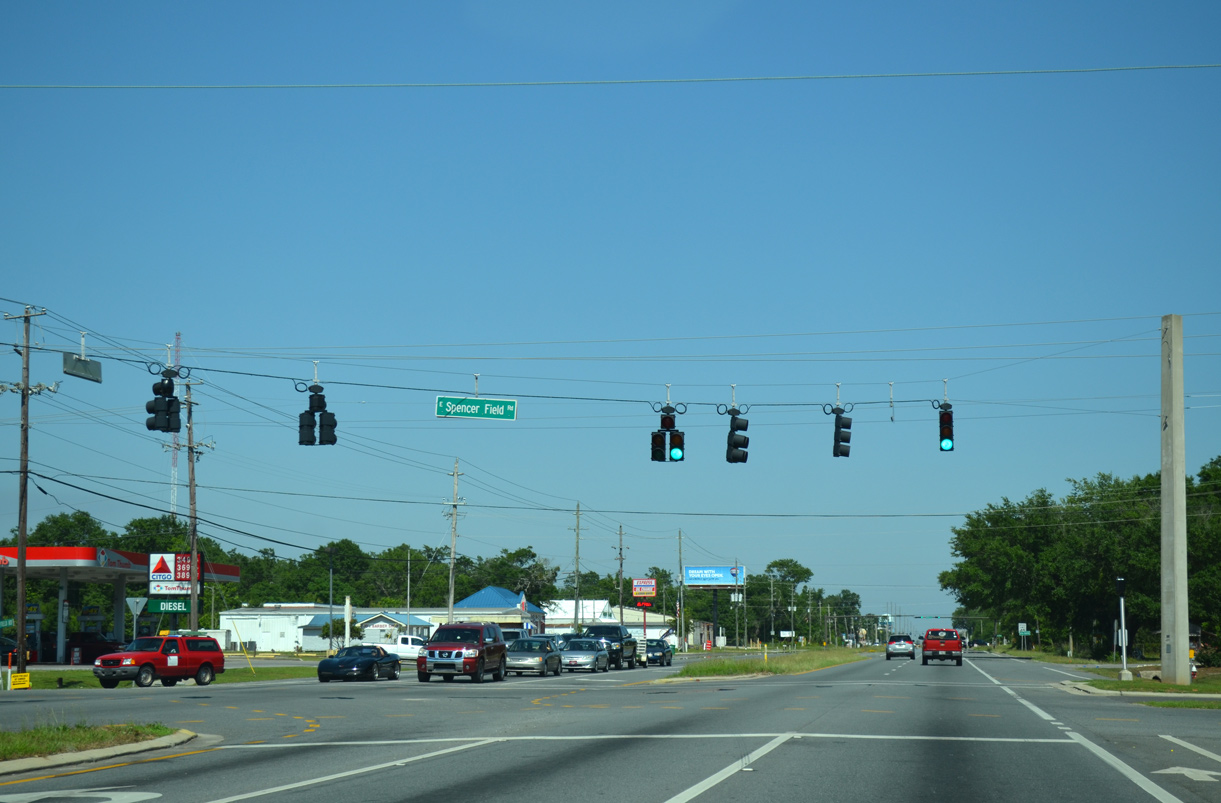
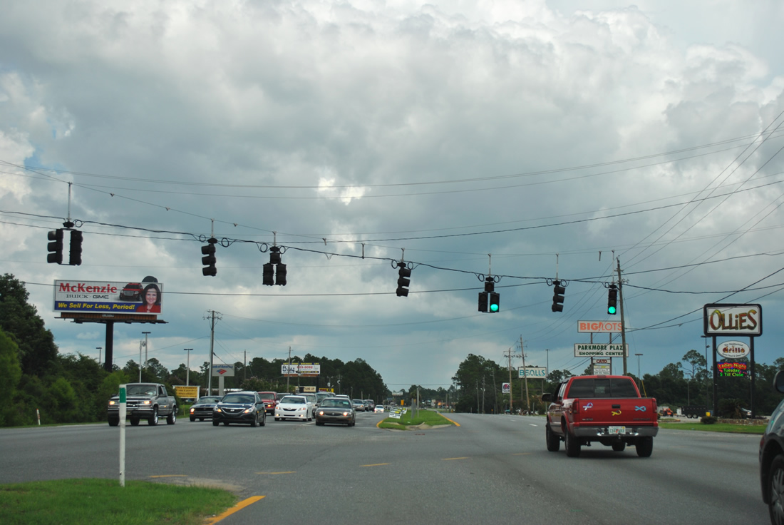
U.S. 90 curves eastward through a commercial strip consisting of fast food chains, big box retail, gas stations and strip malls. County Road 197B (West Spencer Field Road) stems north from U.S. 90 at the ensuing traffic light.
05/18/14
W Spencer Field Road comprises part of the loop encircling the Spencer Field NOLF site north of Pea Ridge. CR 197B turns west from W Spencer Field Road to Chumuckla Highway via Norris Road along a 1.762 mile course. W Spencer Field Road extends north to Benny Russell Park and CR 184A (Berryhill Road).
05/18/14
U.S. 90 proceeds one mile east to the intersection with E Spencer Field Road at Pea Ridge.
05/18/14
E Spencer Field Road runs north from U.S. 90 to an array of subdivisions and Spencer NOLF.
05/18/14
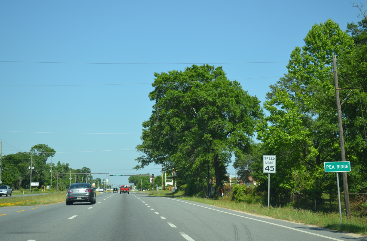
Pea Ridge is an unincorporated community located along U.S. 90 between Pace and Milton.
05/18/14
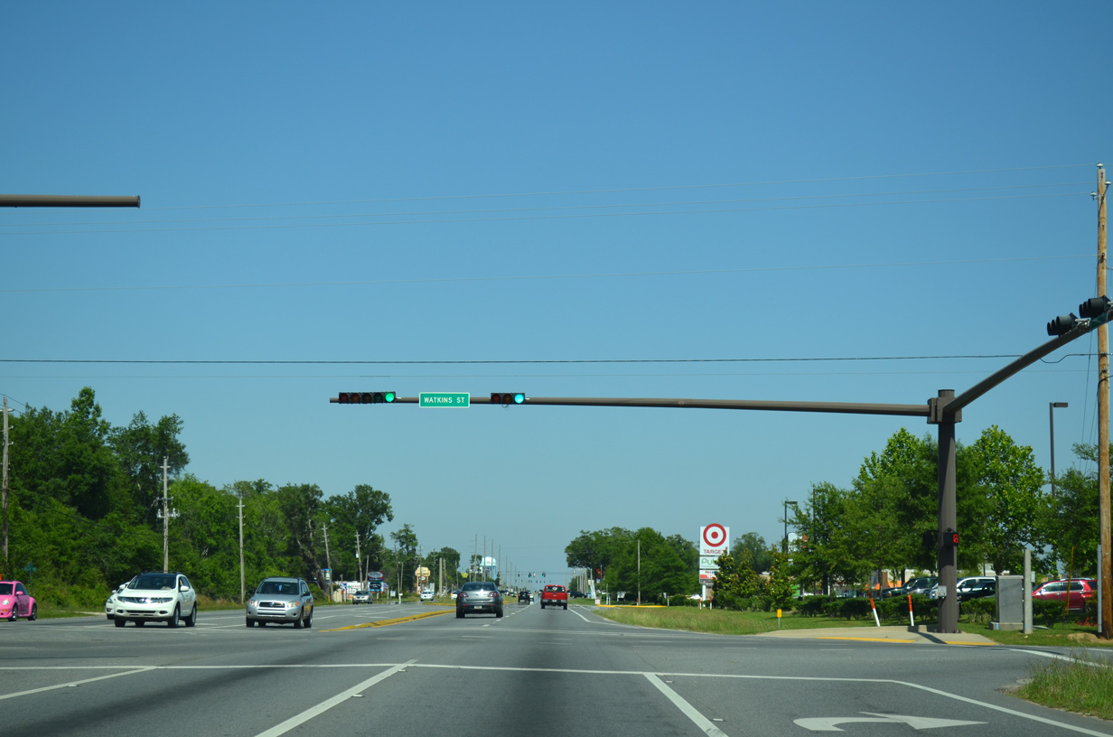
A series of traffic lights line U.S. 90 east through Pea Ridge for adjacent retail and residential development starting with Watkins Street.
05/18/14

U.S. 90 east at Cardinal Street in Pea Ridge.
05/18/14
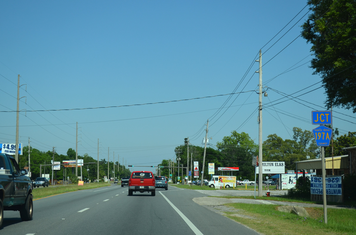
The southern branch of County Road 197A follows Bell Lane 1.995 miles south from U.S. 90 to County Road 191B (Sterling Way).
05/18/14
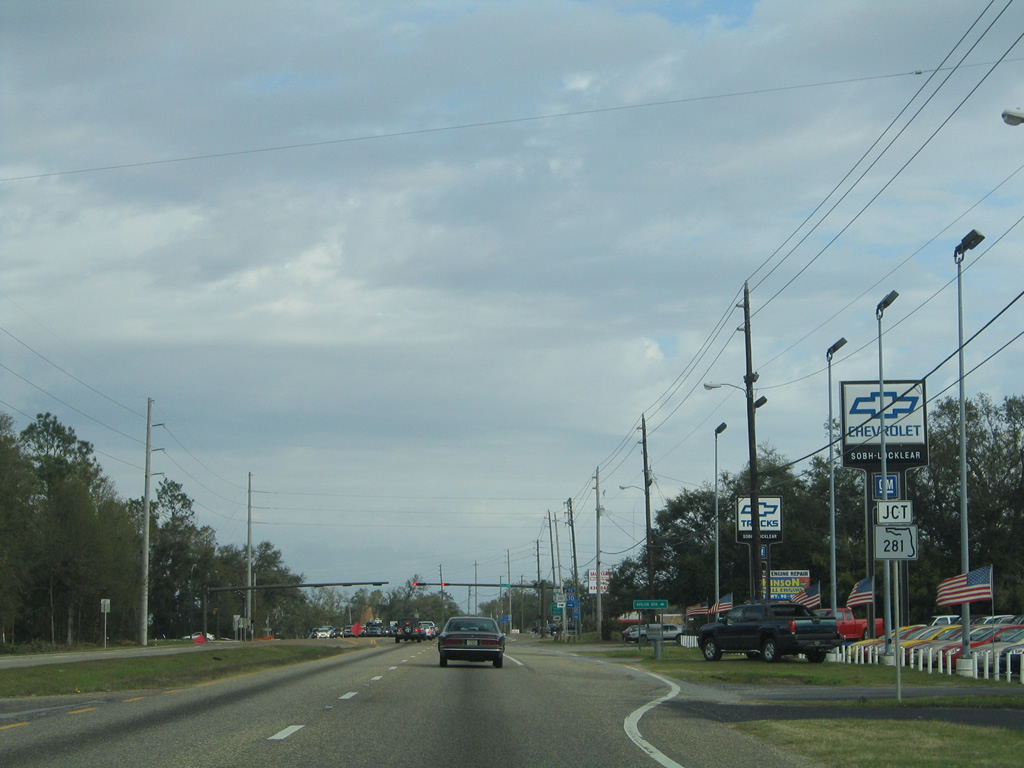
CR 197A (Bell Lane) leads south between a number of residential streets and subdivisions to a 90 degree turn onto CR 191B (Sterling Way). Sterling Way links CR 197A with Mulat Road (CR 281 south) and Cyanmid Road (CR 281B east) to SR 281.
05/18/14
Reassurance marker posted for U.S. 90 east after Bell Lane.
02/06/06
Forthcoming SR 281 constitutes a multi lane arterial joining I-10 with Milton and Pea Ridge. SR 281 (Avalon Boulevard) ties into U.S. 90 adjacent to County Road 191 east along Old Bagdad Highway.
02/06/06
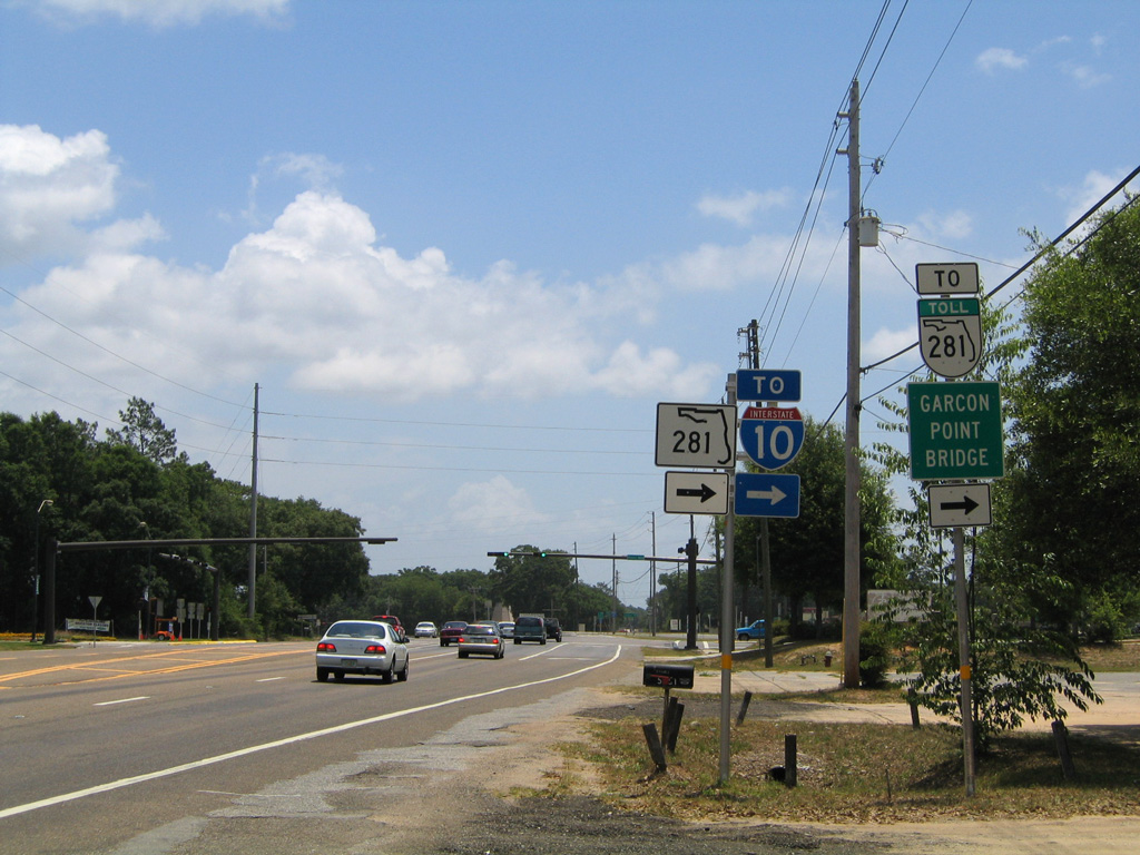
Widening expanded SR 281 to four lanes from U.S. 90 southward in 2011-13. Prior to 1999, SR 281 ended in 4.8 miles at Interstate 10. Opening at that time was the tolled Garcon Point Bridge, which connects with U.S. 98 (Gulf Breeze Parkway) at Oriole Beach.
05/31/04
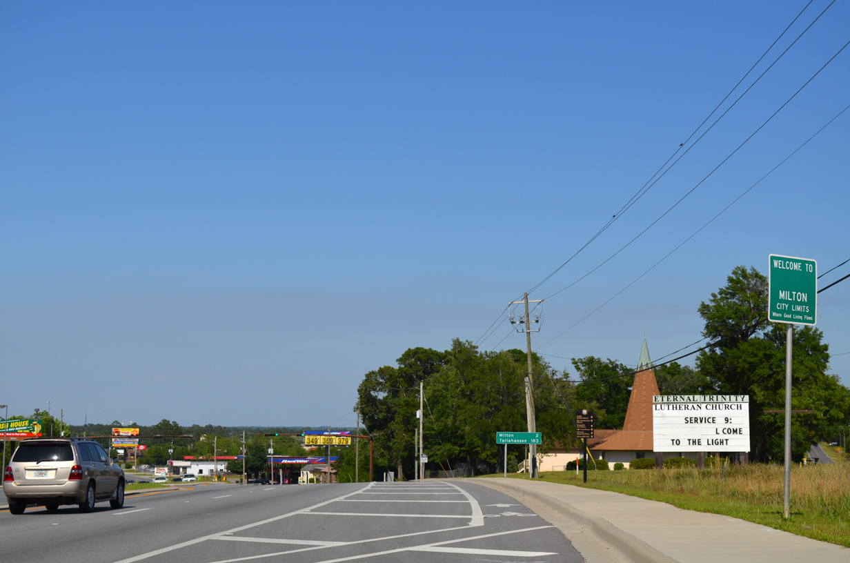
The Milton city limits spread southwest along U.S. 90 to SR 281 (Avalon Boulevard). Downtown lies two miles to the northeast.
05/18/14
Parkmore Plaza Drive links U.S. 90 with County Road 191A (Old Bagdad Highway) at Galt City Road. Galt City lies east of State Road 281 and south along Galt City Road.
07/24/11
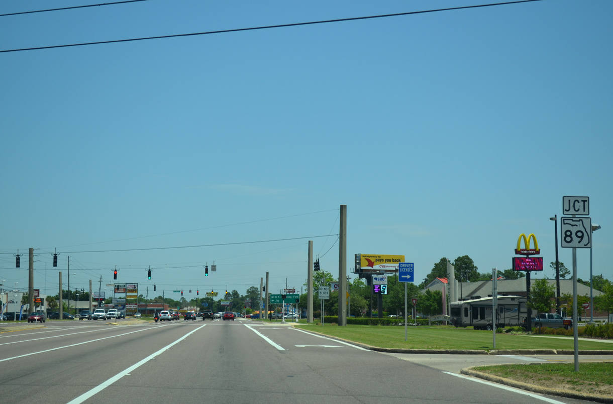
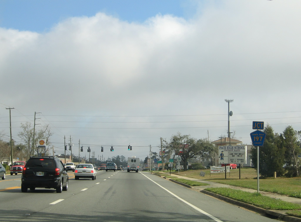
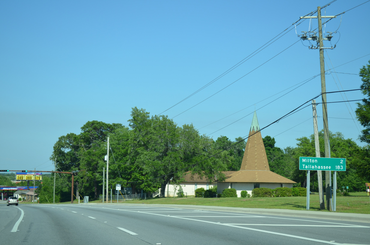
Succeeding traffic signals operate along U.S. 90 at Timberland Plaza Business Park and the south end of SR 89 (Dogwood Drive). State Road 89 constitutes a 29.44 mile route northward from Milton to Escambia County County Road 55 at the Alabama state line.
05/18/14
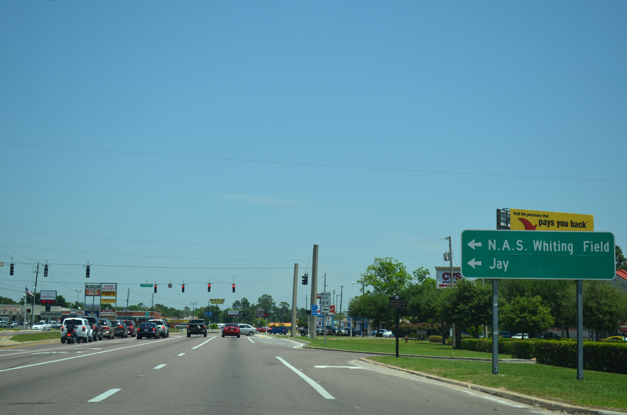
Dual turn lanes join U.S. 90 east with SR 89 (Dogwood Drive) north to Naval Air Station (N.A.S.) Whiting Field and the town of Jay in northern Santa Rosa County.
05/18/14

Forming an arterial bypass of Milton, Dogwood Drive leads SR 89, 3.5 miles north to SR 87 (Stewart Street) at Point Baker. SR 87/89 overlap for 1.6 miles before parting SR 89 branches northwest 22 miles to Jay.
05/18/14
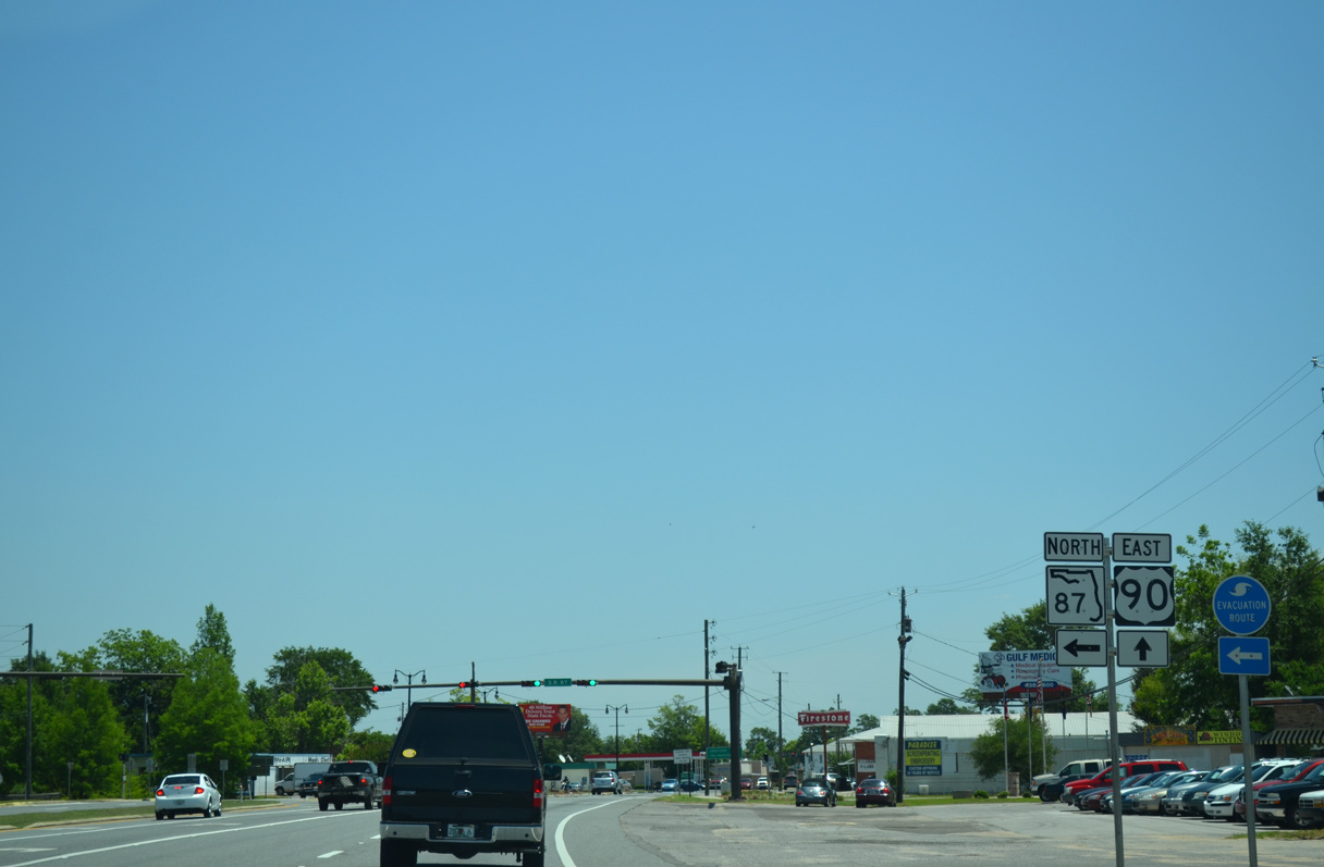
U.S. 90 remains along a commercial arterial northeast to SR 87 (Stewart Street) outside Downtown Milton.
05/18/14
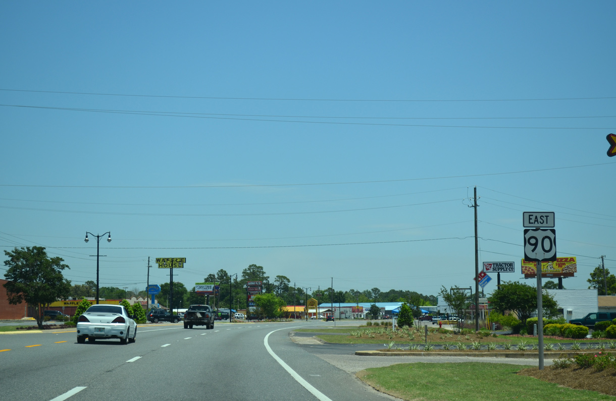
SR 87 combines with U.S. 90 (Caroline Street) east from Stewart Street at the upcoming intersection. SR 87 forms part of a regional corridor joining Navarre with Milton and Brewton, Alabama via Alabama Route 41.
05/18/14
SR 87 combines with U.S. 90 east 4.5 miles through Milton. Northbound SR 87 runs 6.1 miles to CR 87A (Langley Street) east for Whiting Field, and 27.5 miles to the state line.
05/18/14
 South
South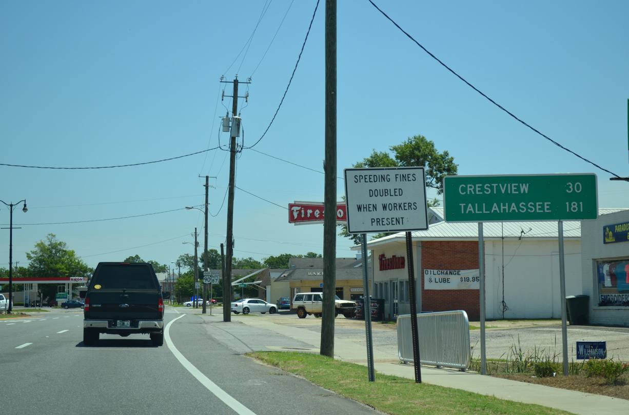
Crestview, seat of Walton County, lies 30 miles to the east via U.S. 90 from SR 87 (Stewart Street) in Milton. Tallahassee follows in another 151 miles.
05/18/14
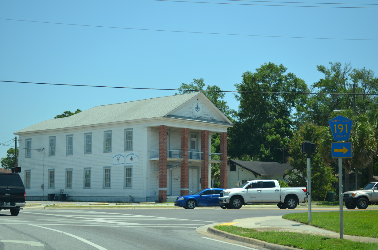
County Road 191 connects Milton with Bagdad, Interstate 10 and the Garcon Point Bridge via SR 281.
05/18/14
U.S. 90/SR 87 shift northeast then east through the Historic District of Milton between Canal Street and Elmira Street.
06/11/06
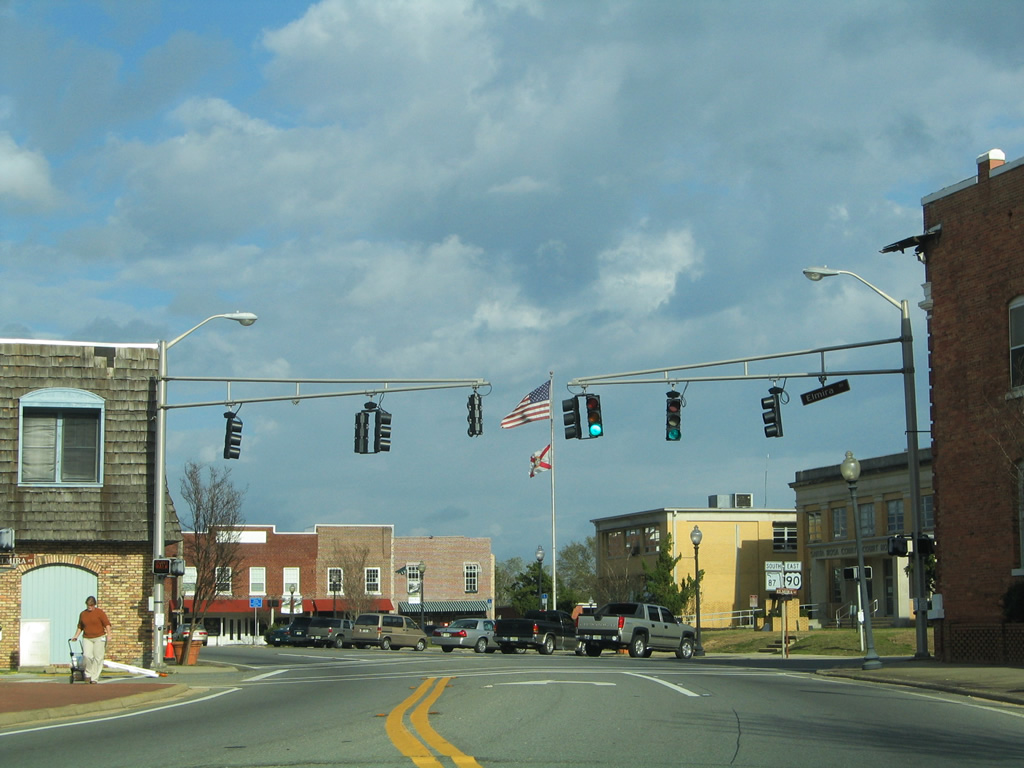
Elmira Street crosses U.S. 90/SR 87 (Caroline Street) at the Santa Rosa County Court House. Elmira Street provides access to the court house and Riverside Park one block ahead of Willing Street northbound.
02/06/06
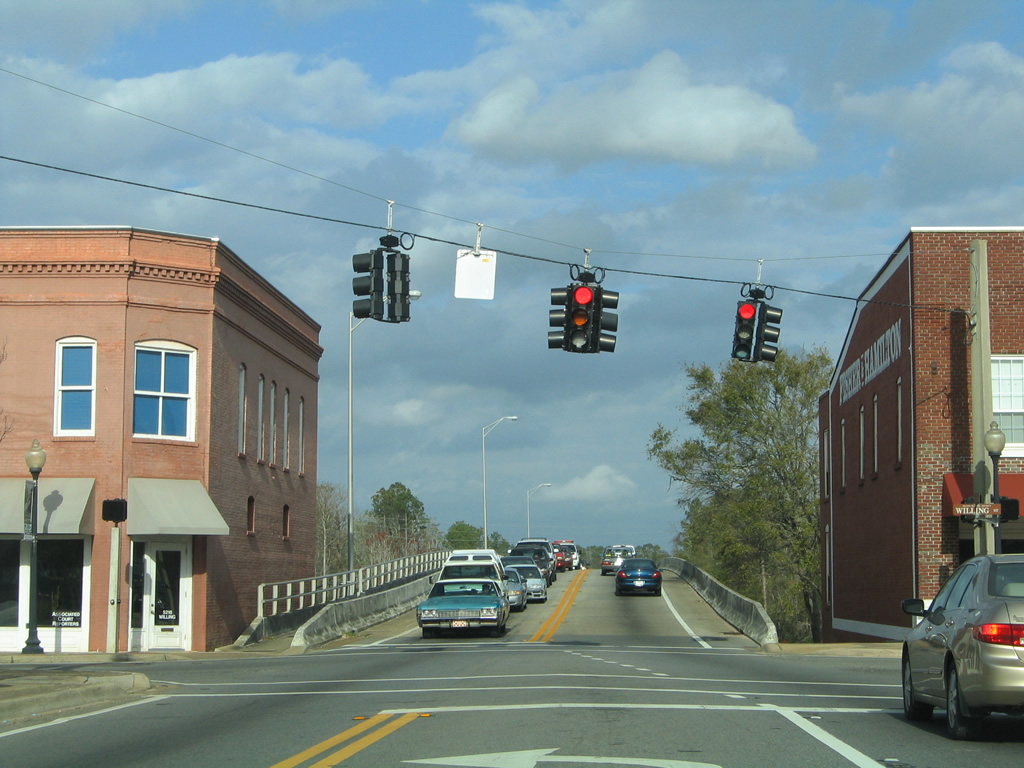
An unsigned branch of CR 191 follows Broad Street north from Willing Street and U.S. 90/SR 87 (Caroline Street). CR 191 combines with an east-west segment of CR 191 at Carpenter Park on a northeasterly course to N.A.S. Whiting Field and Blackwater River State Forest.
02/06/06

U.S. 90/SR 87 follow a causeway east from the Blackwater River to Marquis Bayou. Construction in 2015 replaced the previous bridge across Marquis Bayou that dated back to 1937.
05/13/16
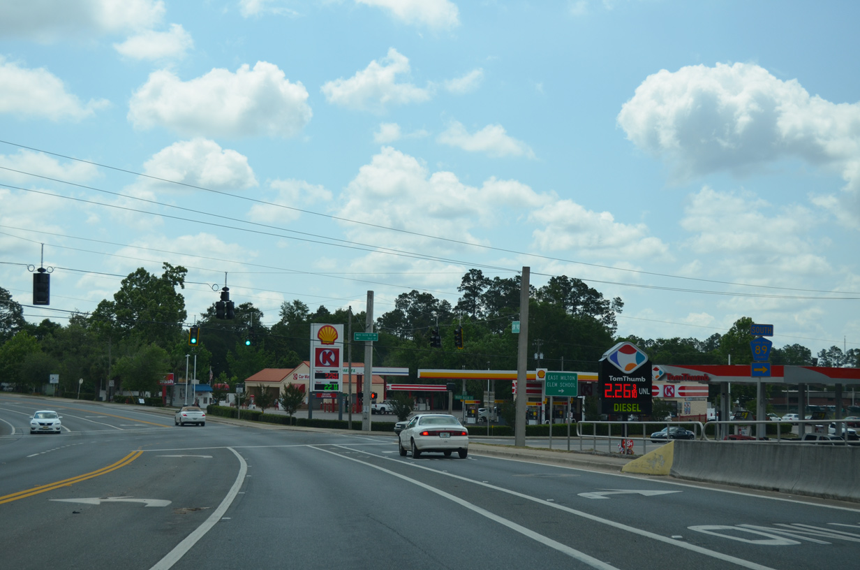
CR 89 leads 5.8 miles southeast to Ward Basin, Pine Bluff and a dead end at the Yellow River. The county road provides a connection between East Milton and Interstate 10 at Exit 28.
05/13/16
U.S. 90/SR 87 pass south of Milton Airport / Peter Prince Field (2R4) at Airport Road. This reassurance marker follows eastbound.
05/13/16
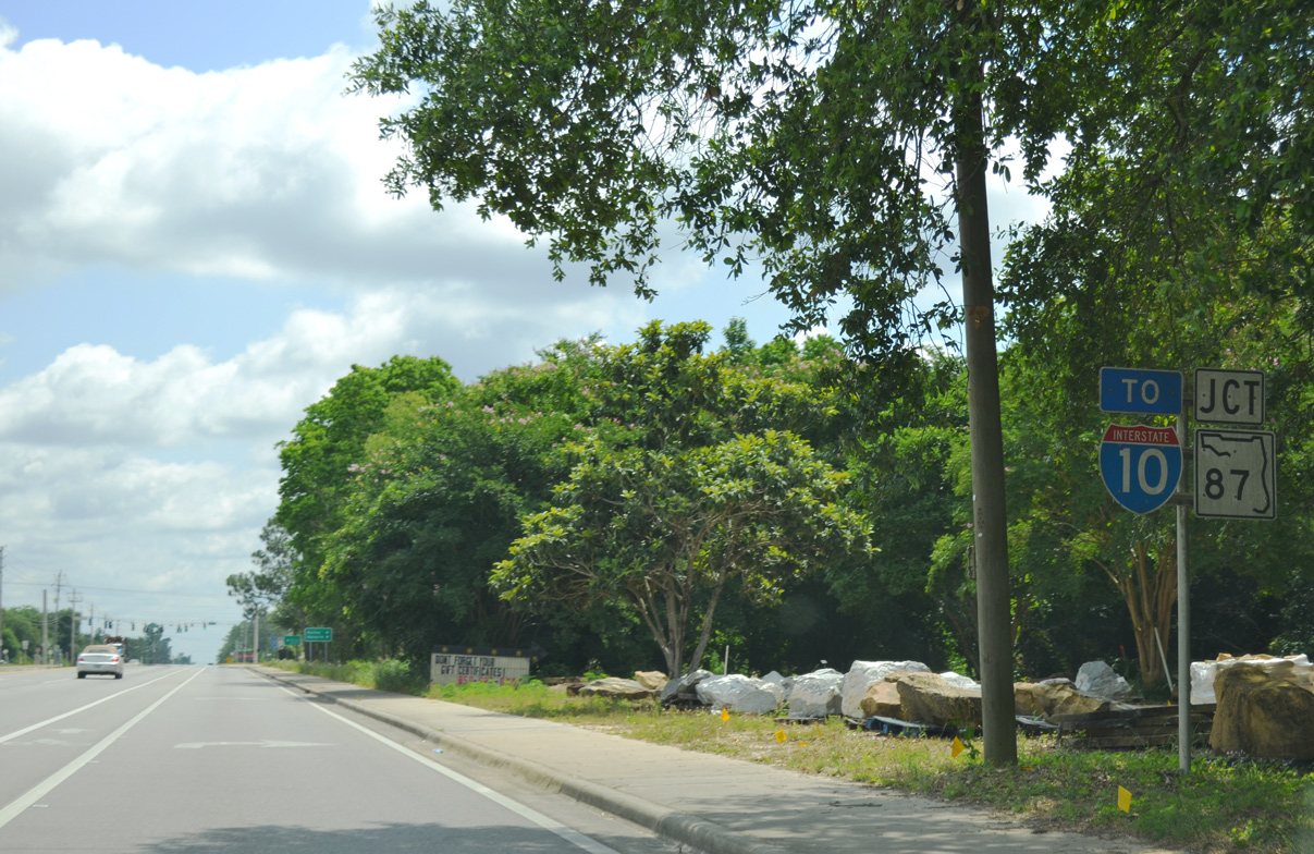
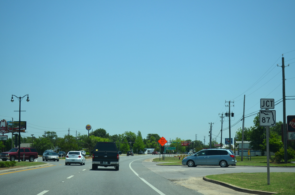
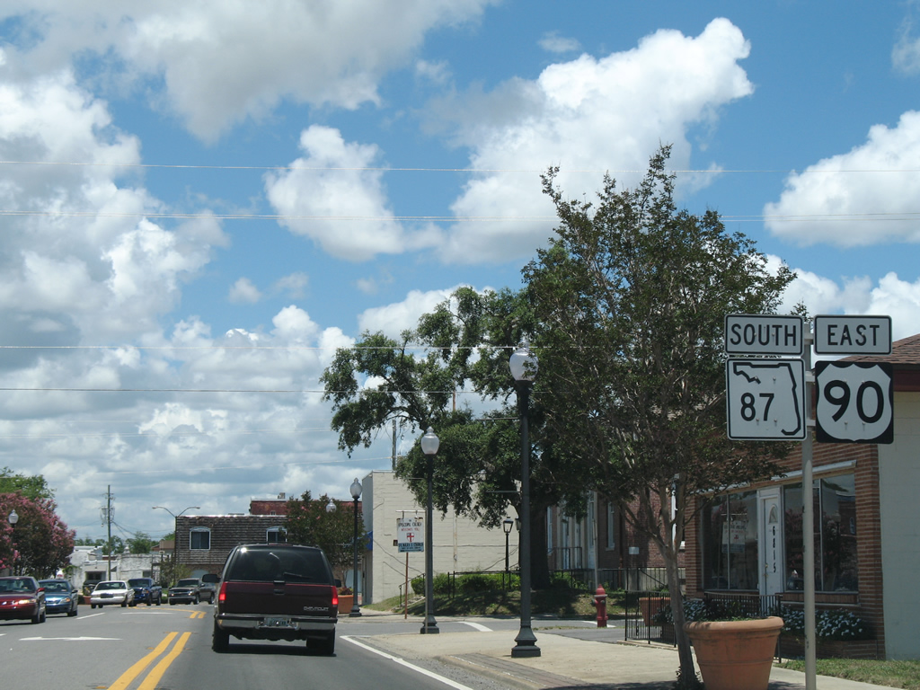
U.S. 90/SR 87 split at the upcoming intersection with East Milton Road. SR 87 turns southward and advances 1.2 miles to Interstate 10 at Exit 31. U.S. 90 continues alongside the CSX Railroad and I-10 to Okaloosa County.
05/13/16
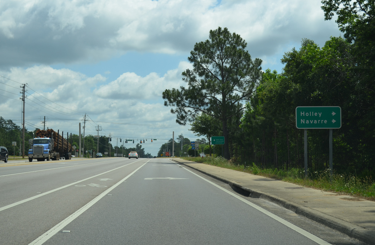
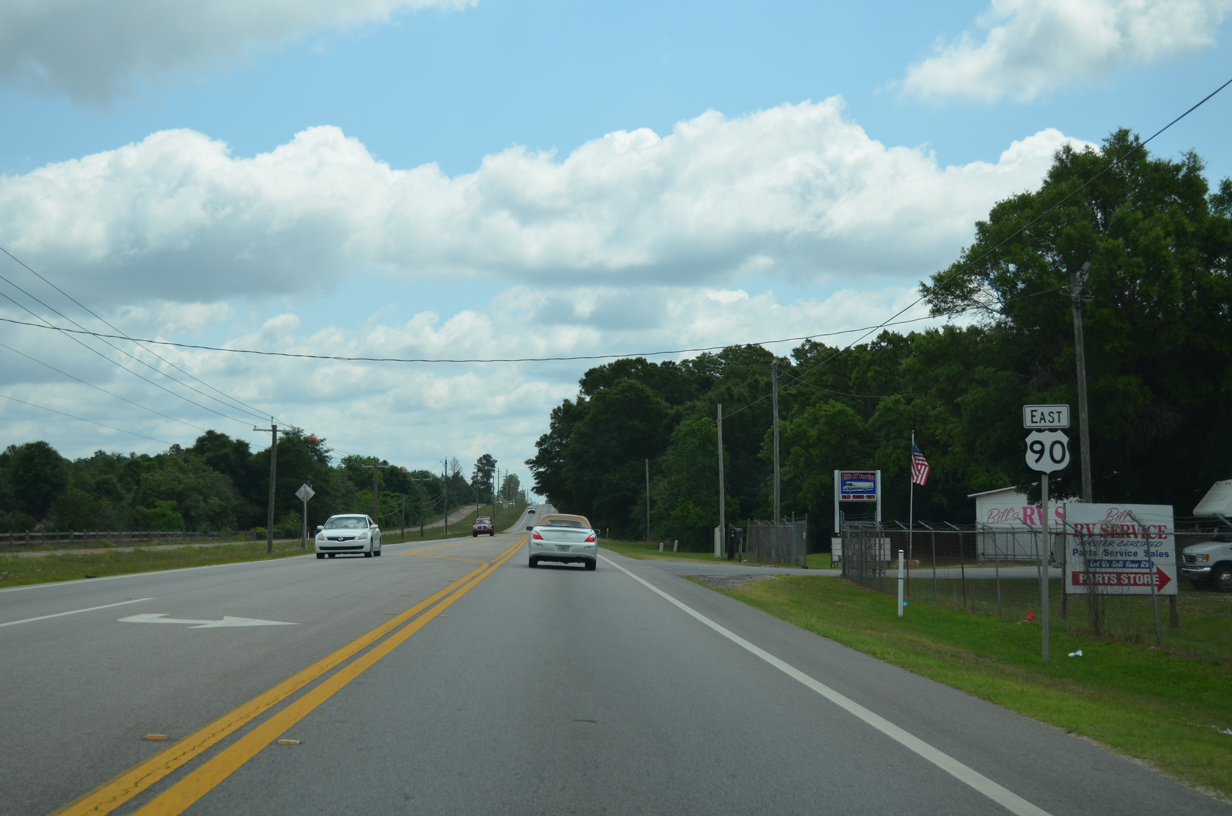
State Road 87 travels 19.7 miles south to U.S. 98 at Navarre. Repurposed as a multi use path, Old Brick Road (Former State Road 1) remains alongside U.S. 90 east for another two miles.
05/13/16
East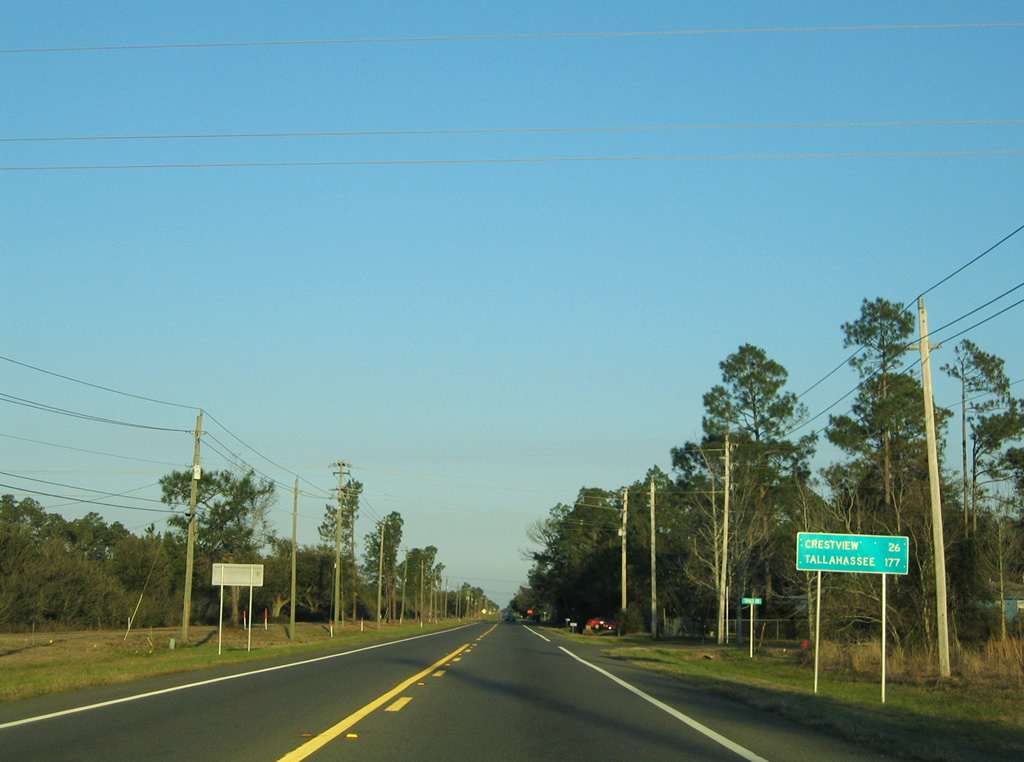
U.S. 90 continues from SR 87 to Harold and Floridale before exiting Santa Rosa County on the 26 mile drive to Crestview.
02/08/06
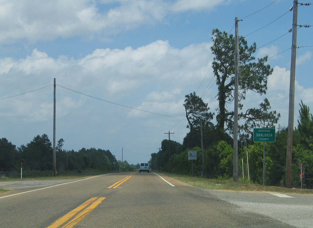
U.S. 90 crosses into Okaloosa County at Garner Landing Road, in a rural area west of Holt.
05/31/04

Photo Credits:
- Alex Nitzman: 05/31/04, 01/18/06, 01/30/06, 02/01/06, 02/06/06, 02/08/06, 06/11/06, 05/13/16
- ABRoads: 07/24/11, 05/18/14
Connect with:
Page Updated Monday October 14, 2019.