
U.S. 90 Business - Westbank Expressway
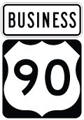
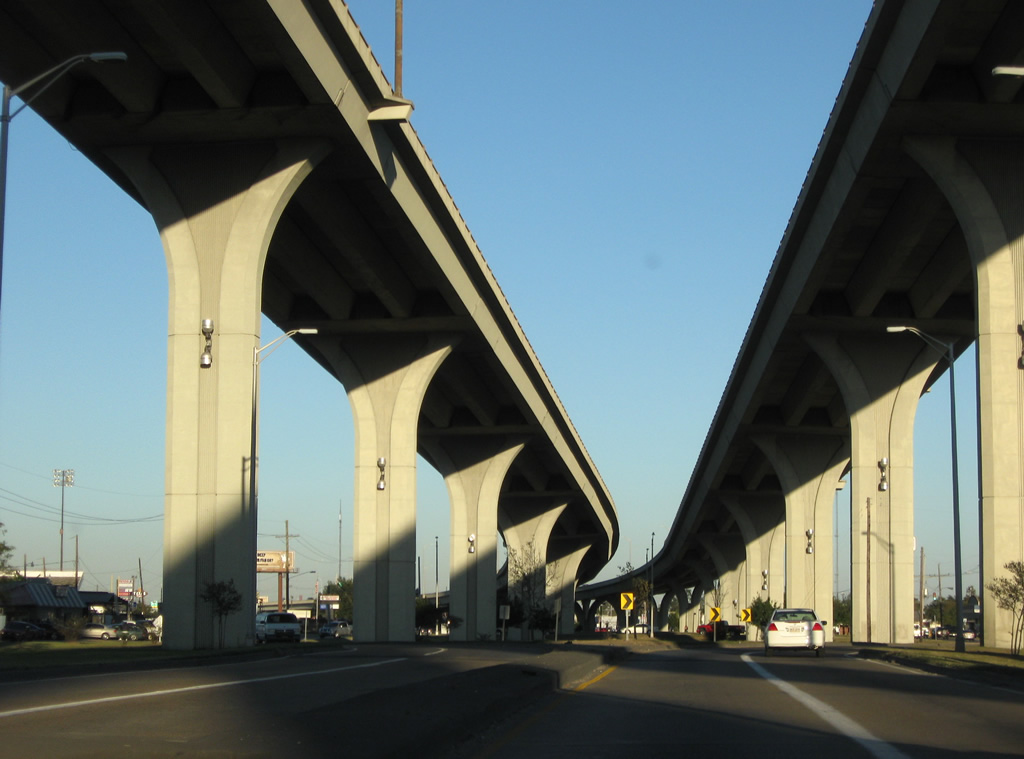
Inventoried as U.S. 90-Z by LADOTD, the 13.87 mile route of U.S. 90 Business forms a hook-shaped route from U.S. 90 near Avondale to Interstate 10 and U.S. 90 by the Superdome and Downtown New Orleans. The bulk of U.S. 90 Business travels along the Westbank Expressway, which begins as an arterial route through Westwego. The remainder of the route east from Ames Avenue follows an elevated six-lane freeway to the Greater New Orleans / Crescent City Connection Bridges across the Mississippi River. The Pontchartrain Expressway extends U.S. 90 Business northwest directly to Interstate 10 by the B.W. Cooper neighborhood in New Orleans.
The Westbank and Pontchartrain Expressway portions of Business U.S. 90 double as hidden Interstate 910. The designation was approved by the American Association of State Highway and Transportation Officials (AASHTO) on October 1, 1999 for the freeway after a previous request to have the expressway incorporated to Interstate 49 was denied. The designation exists on paper only, as I-910 is not signed in the field nor referred to as such.
Westbank Expressway Guides
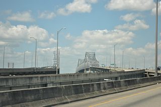
Crescent City Connection
Twin cantilever bridges carry U.S. 90 Business over the Mississippi River from the Central Business District to Algiers on the West Bank in New Orleans. The older eastbound span is the Greater New Orleans (GNO) Bridge; the westbound crossing is the Crescent City Connection (CCC). Each span accommodates four general travel lanes, with the CCC Bridge also carrying two reversible HOV lanes.
The GNO Bridge opened to traffic in 1958 as a toll bridge with two-way traffic. The 35 cent fare charged to motorists was dropped in May 1964 by then-Governor John McKeithen, who made good on a campaign promise. This led to the state paying for the bonds that financed the bridge.1 Explosive suburban growth of the West Bank followed, with traffic counts increasing from 30,000 vehicles per day (vpd) in 1963 to 57,000 vpd in 1966.
With the increase in traffic, demand for a second crossing to the West Bank grew. Efforts focused first on a new Uptown bridge near Napoleon Avenue, which was also considered as a part of the Riverfront / Earhart Expressway proposal. The Mississippi River Bridge Authority received permission from the Coast Guard for that location, but mounting opposition from Uptown residents ultimately shelved it.1
Governor McKeithen appointed a blue-ribbon committee to determine a location for a new bridge in June 1971. Three years of public hearings followed, with a site parallel to the GNO bridge recommended by August 1974. Accept by then-Governor Edwin W. Edwards, bids for the new span were taken by the state in 1982. The existing GNO bridge remained toll free as the state was flush with oil money.1
By the time the six lane bridge opened to traffic on September 30, 1988, state finances were no longer as robust, and tolls were reimplemented at the crossing. Despite efforts from public officials and civic groups on the West Bank, which temporarily halted the impending tolls in October 1986, tolls were announced for the new bridge by then-Governor Buddy Roemer in early 1988, but with a three month grace period.1 Tolls commenced on the CCC bridge after midnight on January 4, 1989 at a rate of $1.00 per passenger vehicle.2
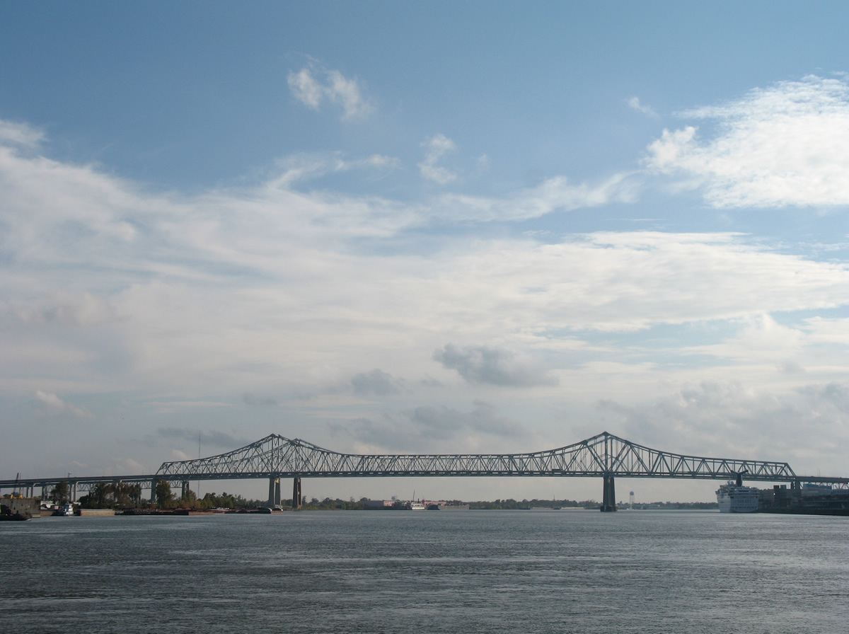
View of the Crescent City Connection Bridge from Woldenberg Riverfront Park and the French Quarter. - 12/10/2007
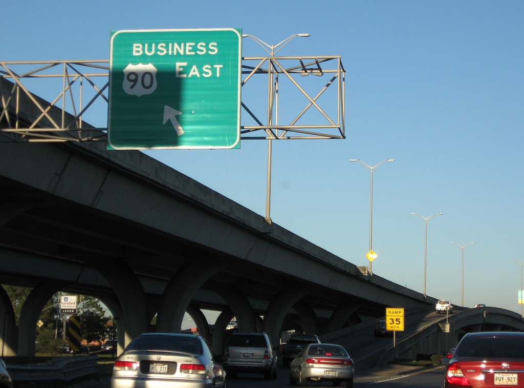
A 16 year, $471 million construction project replaced the viaduct of the Pontchartrain Expressway between I-10 and the Greater New Orleans Bridge with a modern six-lane elevated freeway between September 1980 and May 1996. The roadwork was incorporated in the 3 year, seven month construction of the Crescent City Connection bridge. It expanded the Pontchartrain Expressway with a new three-lane westbound viaduct, requiring the relocation or removal of several preexisting ramps.3 Work added new inbound ramps for I-10 west, Claiborne Avenue, Earhart Boulevard, Baronne Street, Magazine Street and Tchoupitoulas Street while the final phase added the reversible HOV-2 viaduct linking Downtown New Orleans with the Crescent City Connection Bridge.4
The West Bank approach to the Crescent City Connection bridge from the West Bank Expressway was completed on May 25, 1993. Completion of that link coincided with the redecking of the 1958 span and the new ramp for Tchoupitoulas Street.5
Tolls remained in place on the Crescent City Connection until a voter referendum held on May 4, 2013. The referendum rejected a 20 year extension of tolls at the crossing that was approved by just 18 votes on a November 2012 ballot.6 The West Bank toll plaza was subsequently demolished.

The Westbank Expressway eastbound on-ramp after Avenue D serves LA 45 (Barataria Boulevard) traffic bound for New Orleans.
11/19/08
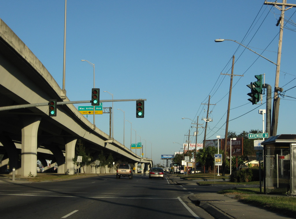
Continuing east, the Westbank Expressway frontage road sees a signalized intersection with Avenue A.
11/19/08
Drivers enter the unincorporated community of Harvey at the intersection with Farrington Drive.
11/19/08
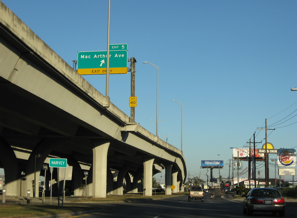
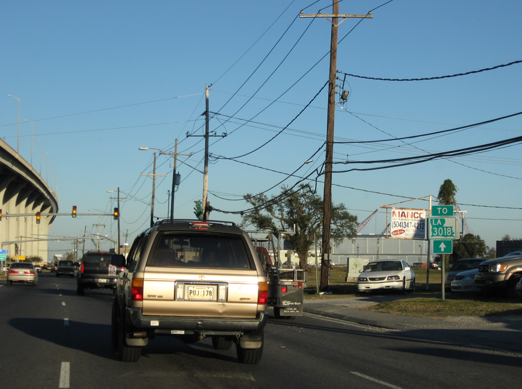
LA 3018 trailblazer posted alongside the eastbound frontage road ahead of Mac Arthur Avenue. LA 3018 follows Destrehan Avenue south from LA 18 (4th Street) toward Lapalco Boulevard.
08/02/02
11/19/08
Mac Arthur Avenue joins residential areas of Harvey to the north with industrial areas west of Harvey Canal to the south.
11/19/08
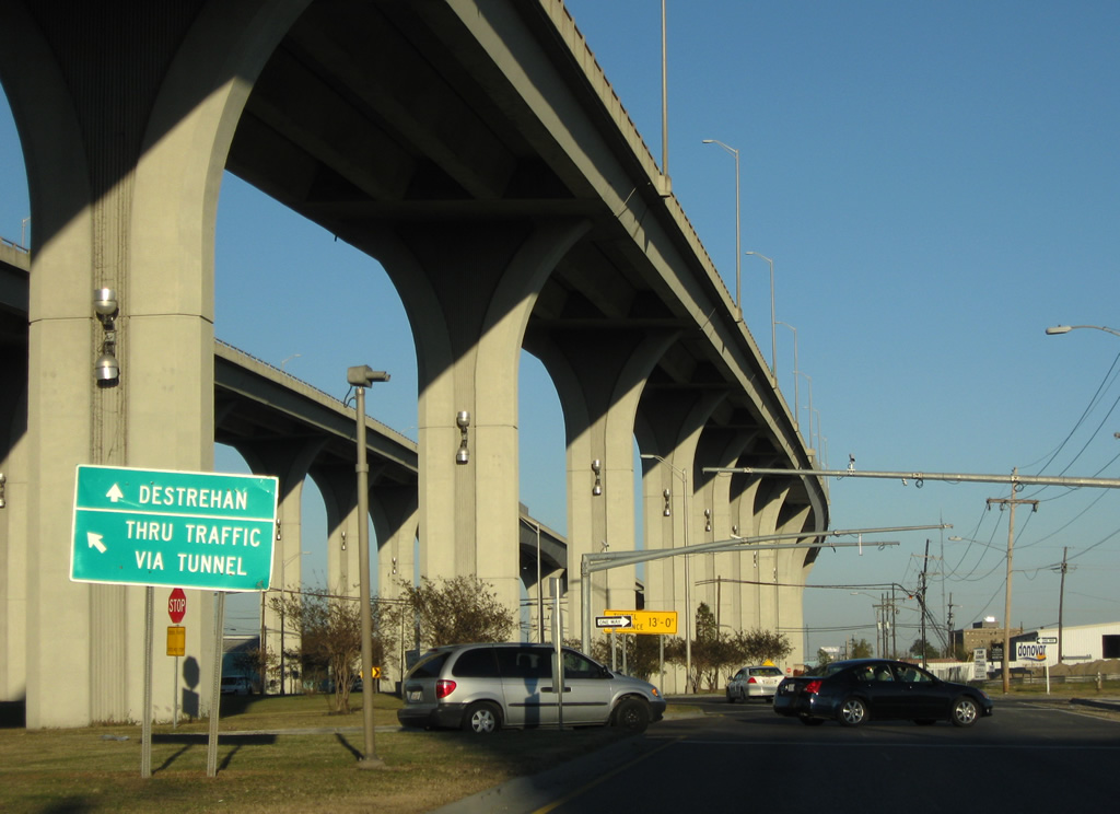
Continuing beyond Mac Arthur Avenue, traffic along the Westbank Expressway frontage road splits for either the Harvey Tunnel or LA 3018 (Destrehan Avenue).
The guide sign pictured here was removed by 2011.
11/19/08
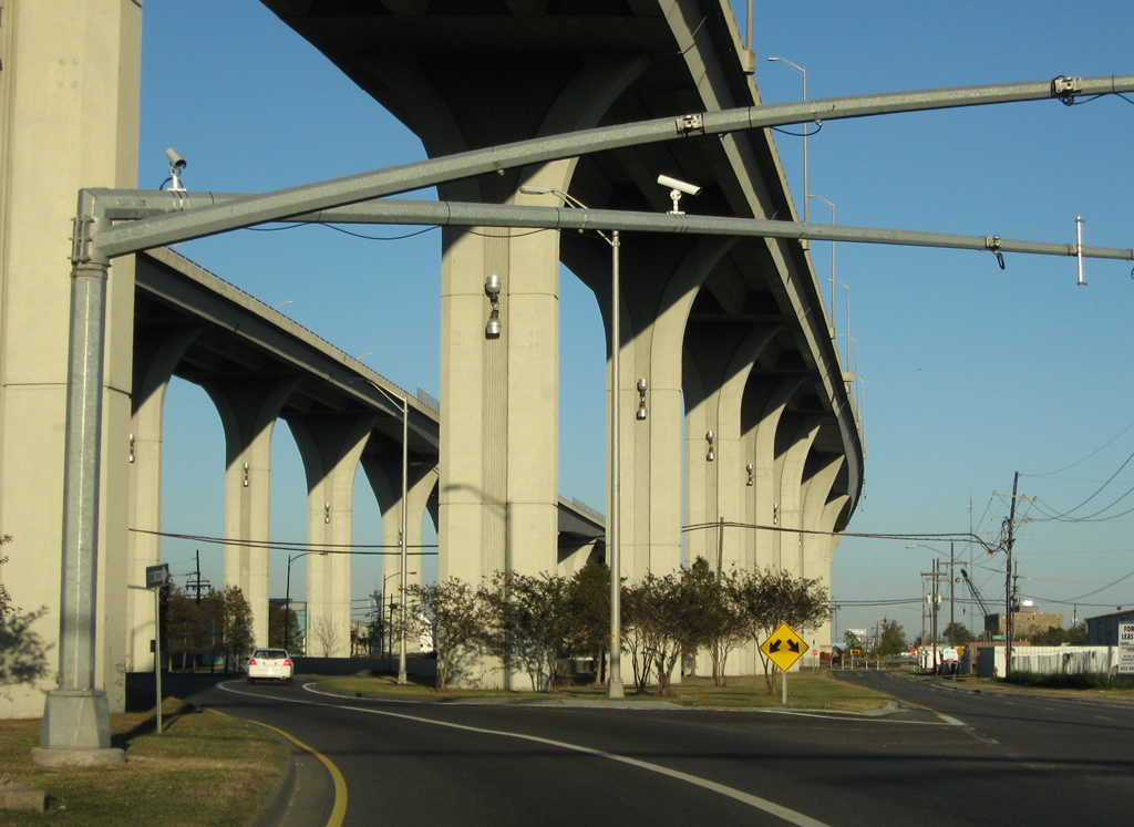
A 2006-07 project added a new multi-lane roadway connecting the Westbank Expressway frontage road at the Harvey Tunnel entrance with 1st and Destrehan Avenues to the south. Mast-arm assemblies were added for future traffic lights at the new intersection.
11/19/08
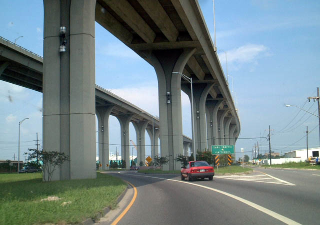
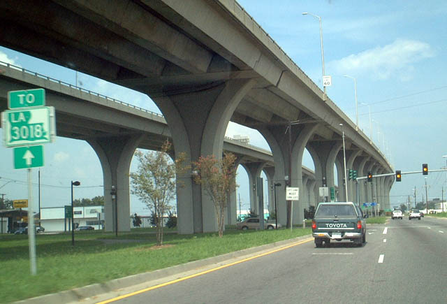
The frontage road mainline travels underneath the canal through the 1957 Harvey Tunnel. This image looks at an older guide sign and the tunnel ramp before the addition of the Destrehan Avenue connector.
08/02/02
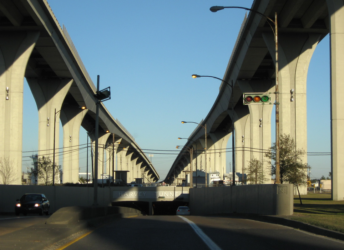
The frontage roads converge and lower into the Harvey Tunnel. Before the elevated lanes of the Westbank Expressway were construction, U.S. 90 Business utilized the tunnel.
11/19/08
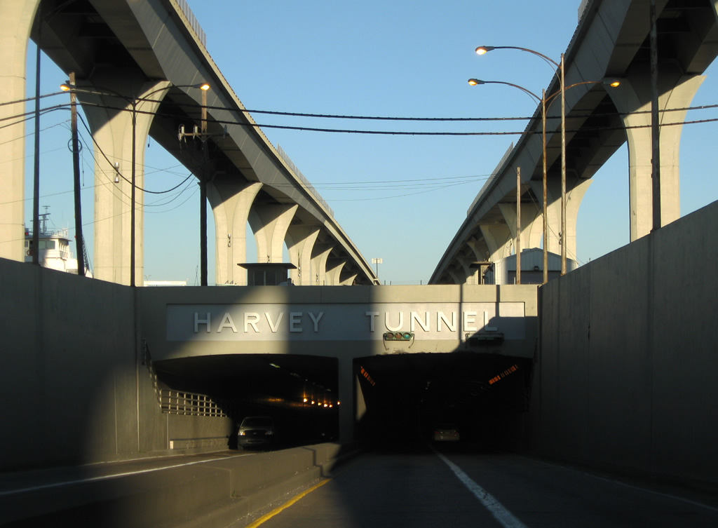
Entering the Harvey Tunnel on the eastbound frontage road. Sidewalks are available for pedestrians wishing to cross the canal.
11/19/08
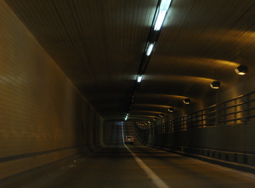
The twin tube Harvey Tunnel carries four overall lanes with no passing. The New Orleans metropolitan area is home to two underwater tunnel facilities: the Harvey Tunnel and the LA 23 southbound Belle Chase Tunnel at the Intracoastal Waterway.
11/19/08
08/02/02
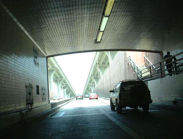
Exiting the Harvey Tunnel, the frontage roads again part ways and travel below the outside of the freeway viaducts above.
11/19/08
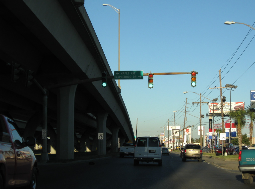
Maple Avenue and Maplewood Drive come together at this traffic light with the Westbank Expressway in east Harvey.
11/19/08
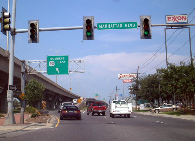
A diamond interchange (Exit 6) connects U.S. 90 Business with Manhattan Boulevard with ramps utilizing the frontage road system. Manhattan Boulevard meets the Westbank Expressway amid several big box stores and a car dealership.
08/02/02
The return ramp to U.S. 90 Business eastbound immediately departs the eastbound frontage road after Manhattan Boulevard.
11/19/08
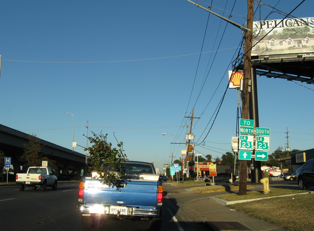
Exit 7 drops down from the freeway to join the eastbound frontage road ahead of LA 23 (Lafayette Street). LA 23 joins the frontage roads between Lafayette Street and Franklin Avenue in Gretna.
11/19/08
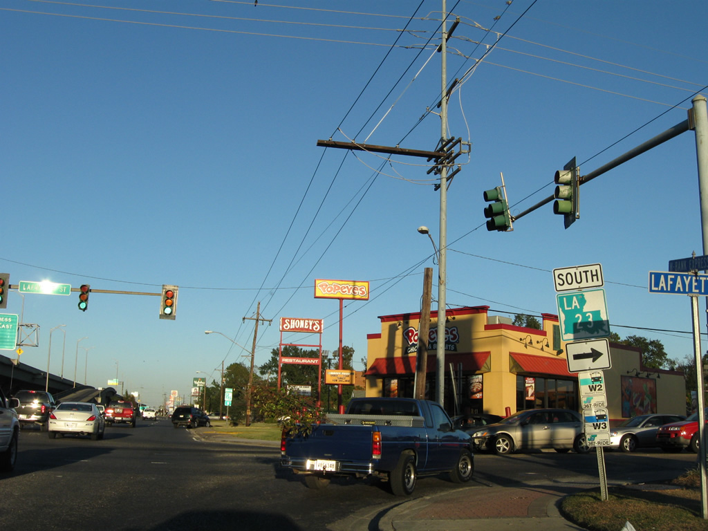
LA 23 angles southeast from Gretna to Belle Chasse and the Mississippi River. There the state highway turns parallel to the river on the 72 mile course to Venice. LA 23 doubles as part of the Great River Road National Route. The Great River Road is compiled of a series of routes that parallel the Mississippi River on each bank. LA 23 is the southernmost leg of this nationwide system of highways.
11/19/08
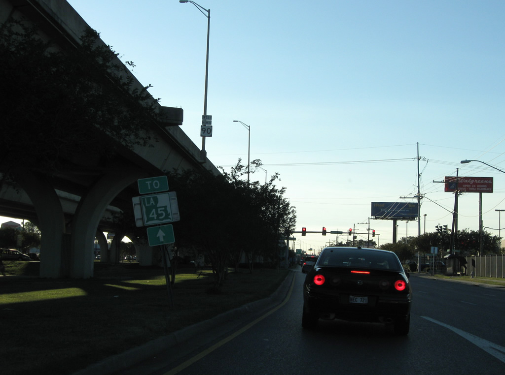
Exit 4B drops onto the westbound frontage road ahead of Avenue D. Travelers bound for LA 45 (Barataria Boulevard) continue four more blocks to reach the state highway.
11/19/08
 scenes
Avenue D southbound at the eastbound frontage road of the Westbank Expressway.
11/19/08
References:
- "Tolls End an Era in Bridge History." Times-Picayune, The (New Orleans, LA), January 1, 1989.
- "Tolls Collected Without a Hitch - Flow of Traffic Quick and Easy." Times-Picayune, The (New Orleans, LA), January 5, 1989.
- "Homestretch." Times-Picayune, The (New Orleans, LA), May 5, 1996.
- "Bridge Project Nears Completion." Times-Picayune, The (New Orleans, LA), August 7, 1994.
- "'It's Wonderful!' - After 13 Years of Work, West Bank Bridge Ramps Open to Happy Motorists." Times-Picayune, The (New Orleans, LA), May 26, 1993.
- "Voters decide to put an end to tolls on river bridge - The second time is the charm for energetic anti-toll effort." Times-Picayune, The (New Orleans, LA), May 5, 2013.
Photo Credits:
- ABRoads: 11/19/08
- AARoads: 08/02/02
Connect with:
Page Updated Monday October 03, 2016.