
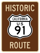
Historic U.S. 91
U.S. 91 is a former U.S. route that started at the intersection of the Pacific Coast Highway and Atlantic Avenue in Long Beach. Heading due east along with Alternate U.S. 101 (now California 1) on the southbound Pacific Coast Highway, U.S. 91 turned north on current California 19 (Lakewood Boulevard). At Carson Street, U.S. 91 turned east, continuing along Lincoln Avenue until reaching the Santa Ana River Canyon (and the California 91 freeway) near the California 55 interchange. Paralleling today's California 91 (Riverside Freeway), U.S. 91 angled northeast through Corona and Riverside, and it merged onto northbound U.S. 395 en route to San Bernardino. Picking up U.S. 66, U.S. 91-395 headed through the Cajon Pass, and U.S. 66-91 carried onward to Victorville and Barstow via Oro Grande and Helendale. Northeast of Barstow, U.S. 91-466 angled toward Las Vegas; that route was supplanted by Interstate 15. With the exception of some sections of U.S. 91 in the Los Angeles Basin and a two-mile segment in Barstow, the rest of U.S. 91 was duplicated by another U.S. route.
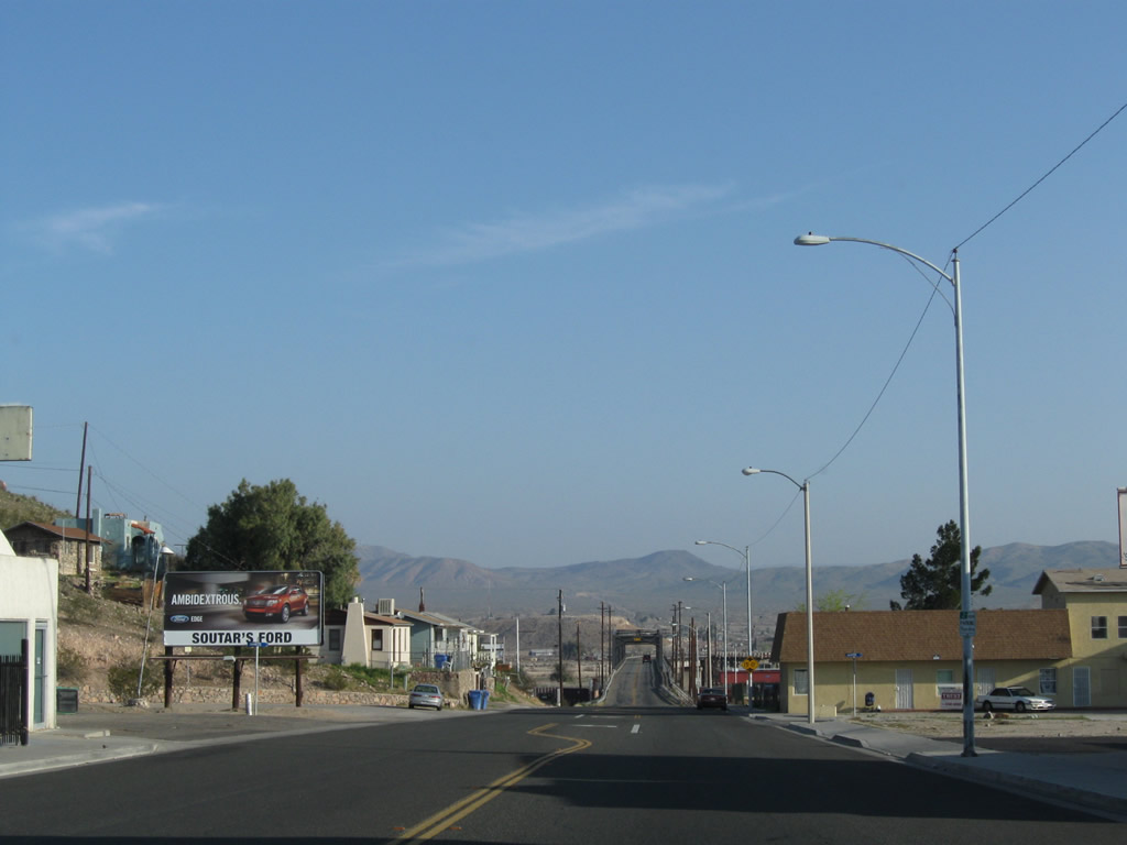
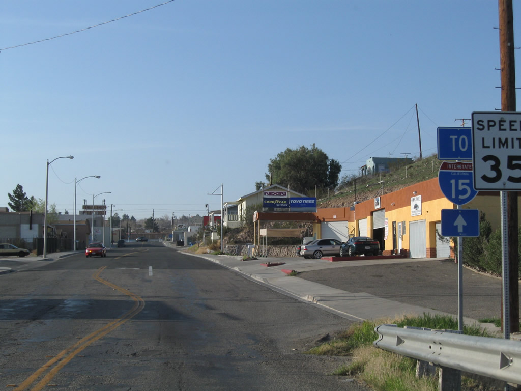
Historic U.S. 66 and U.S. 91 divide in downtown Barstow, at the intersection of Business Loop I-15 (Main Street) and First Avenue. This view looks north on First Avenue after the Historic U.S. 66 (Main Street) intersection.
03/15/09
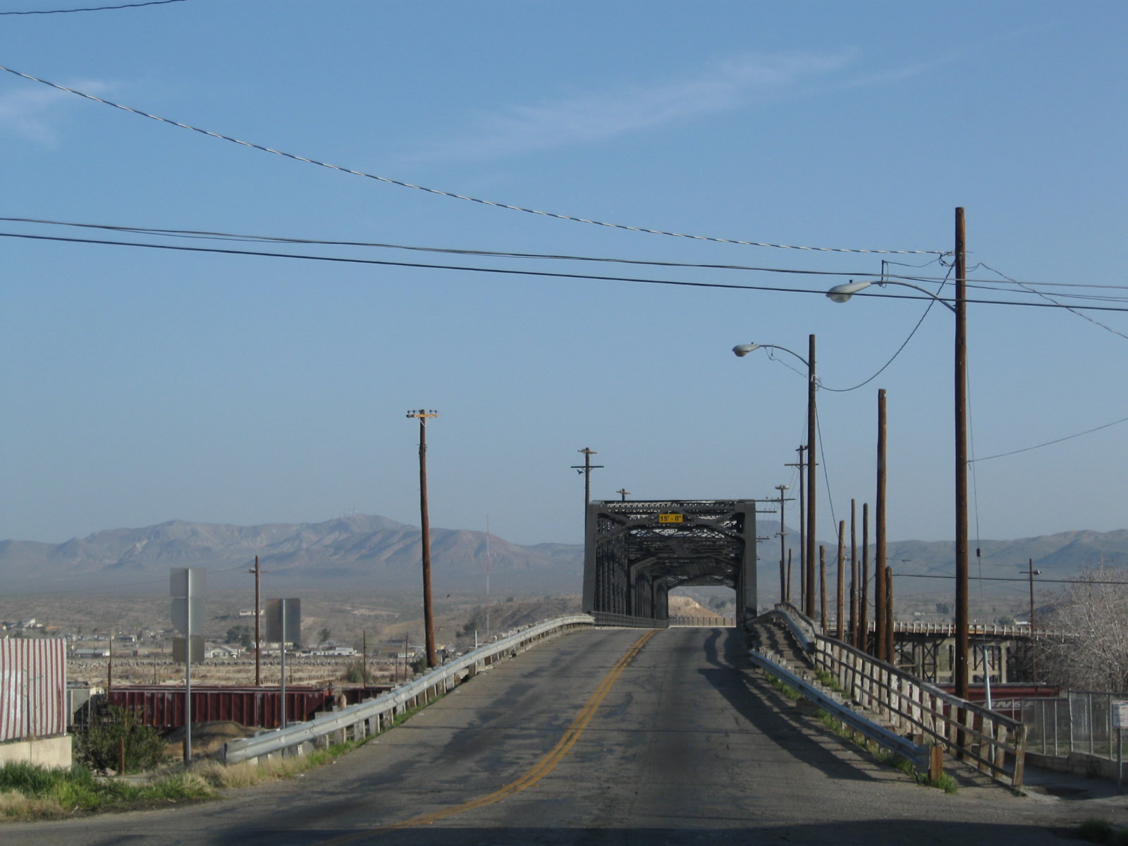
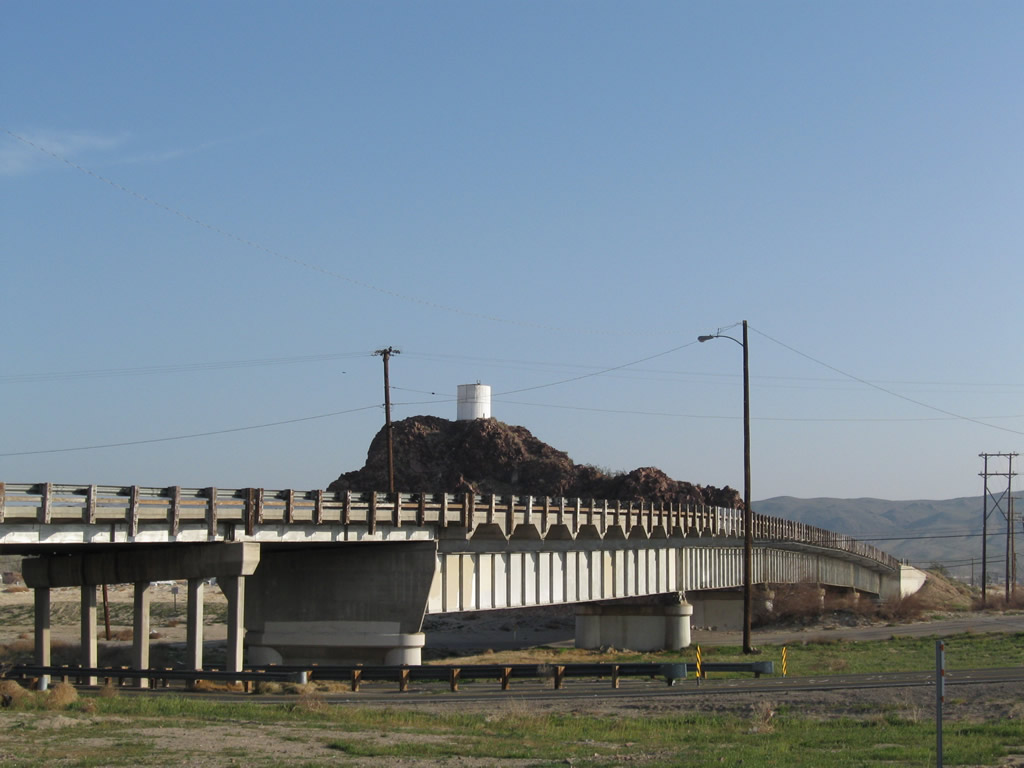
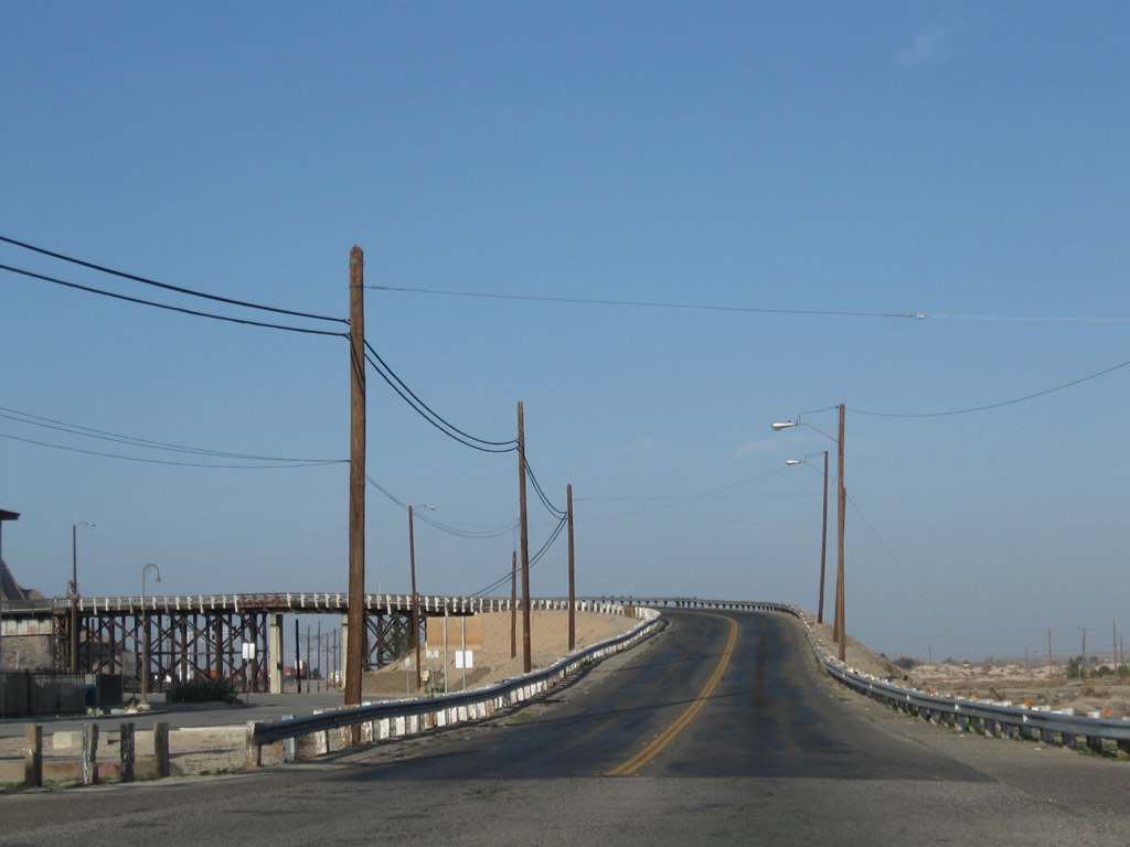
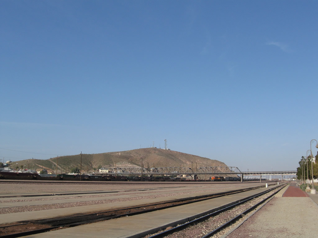
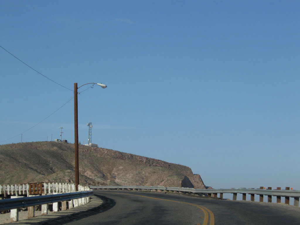
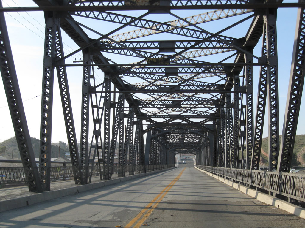
Heading north out of central Barstow, U.S. 91 formerly crosses the BNSF Rail yard across the Old Iron Bridge.
03/15/09
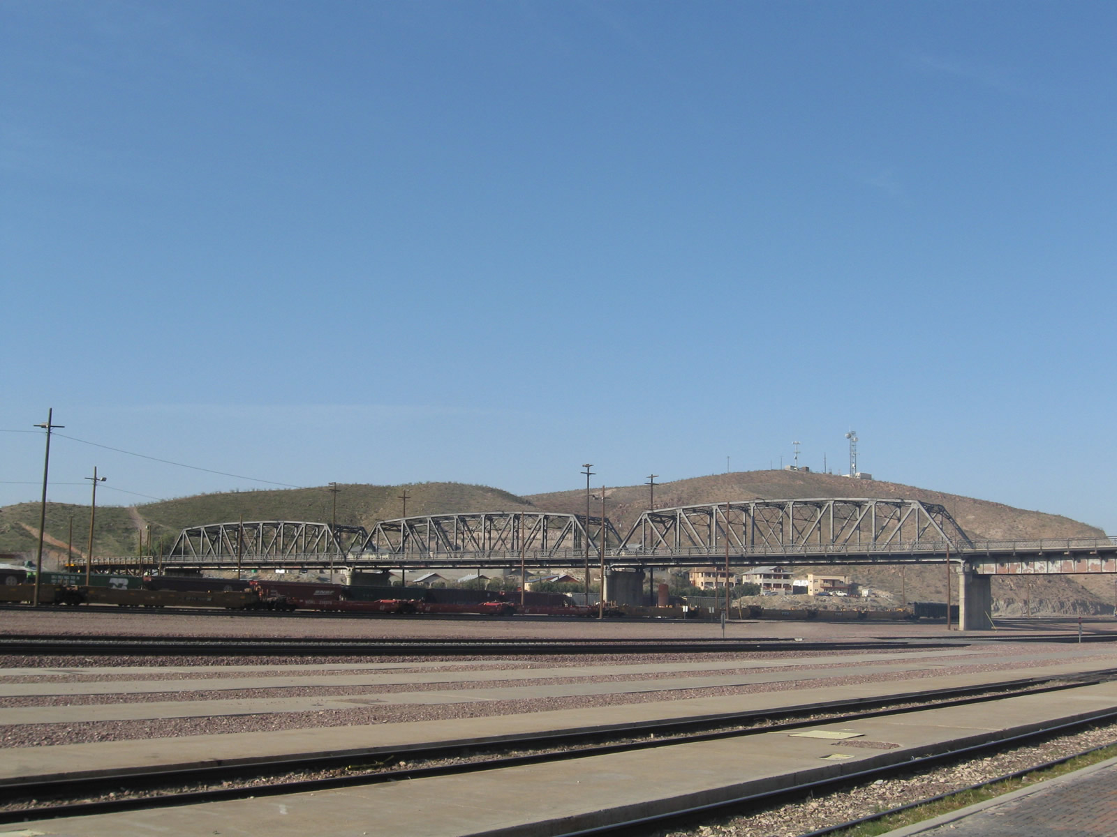
Opened on April 26, 1930, the Old Iron Bridge had to accommodate an ever-expanding rail yard as train operations continued to grow.
03/15/09
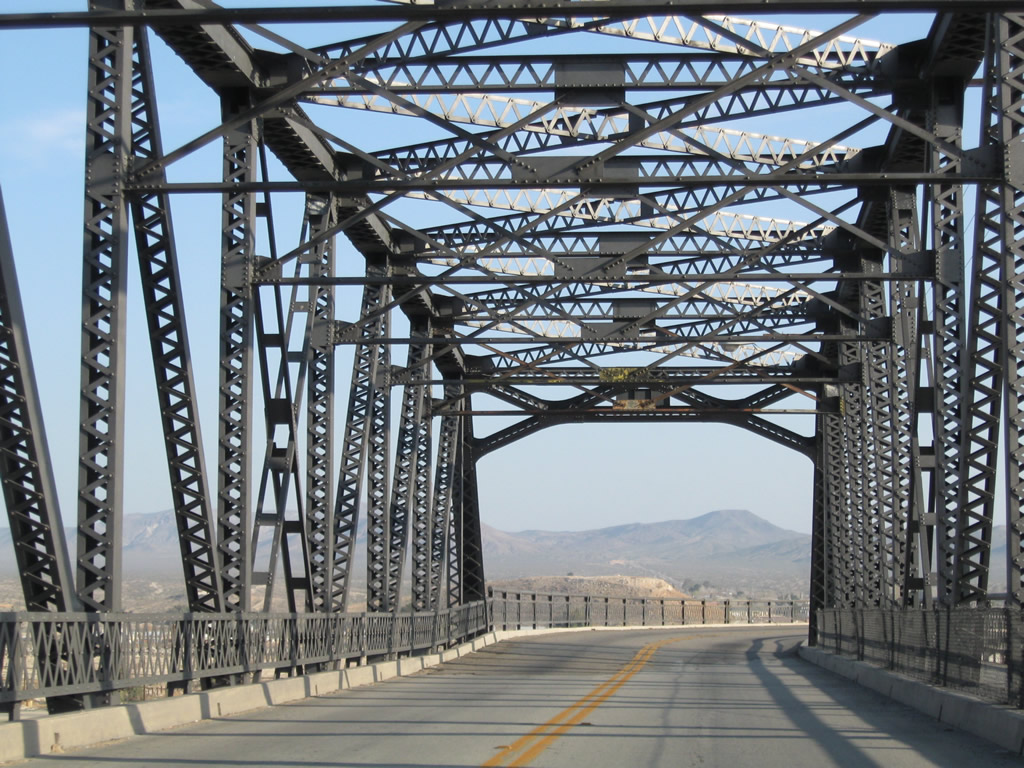
Construction in 2023-24 replaced the Old Iron Bridge with a new alignment and span across the BNSF Rail yard to the west. The original truss bridge was subsequently demolished.
03/15/09
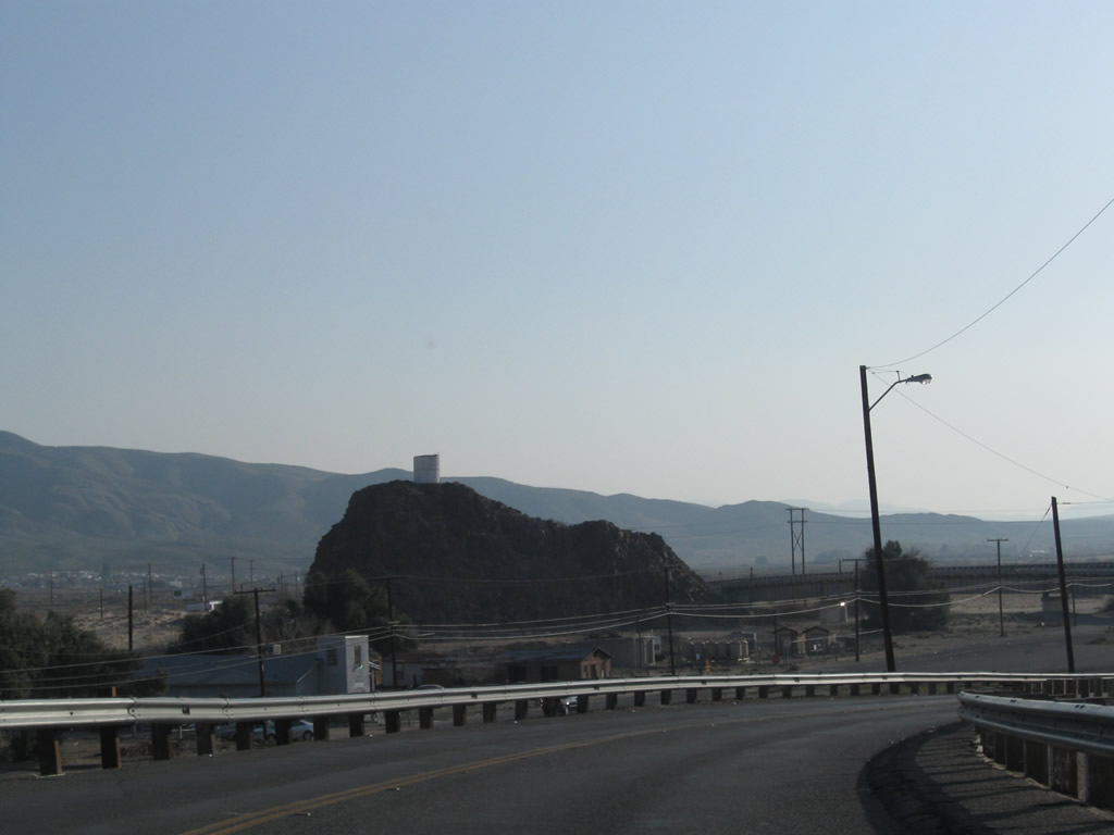
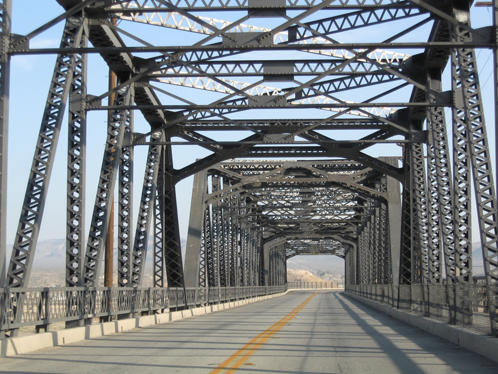
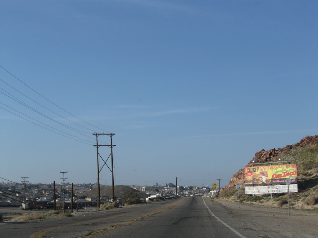
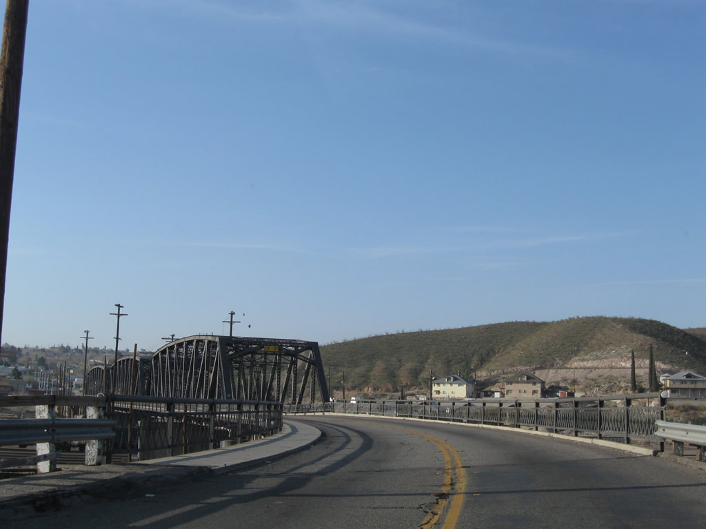
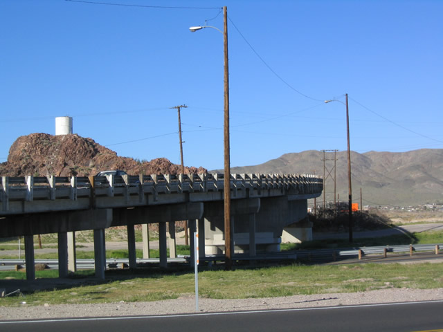
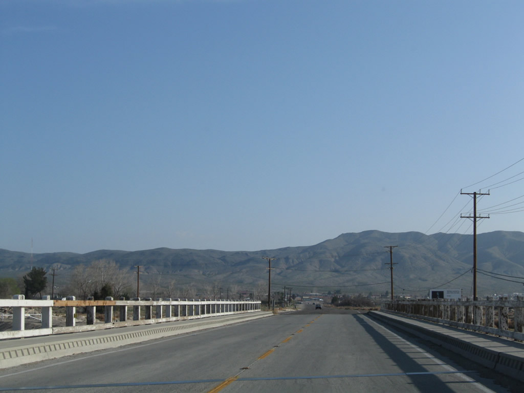
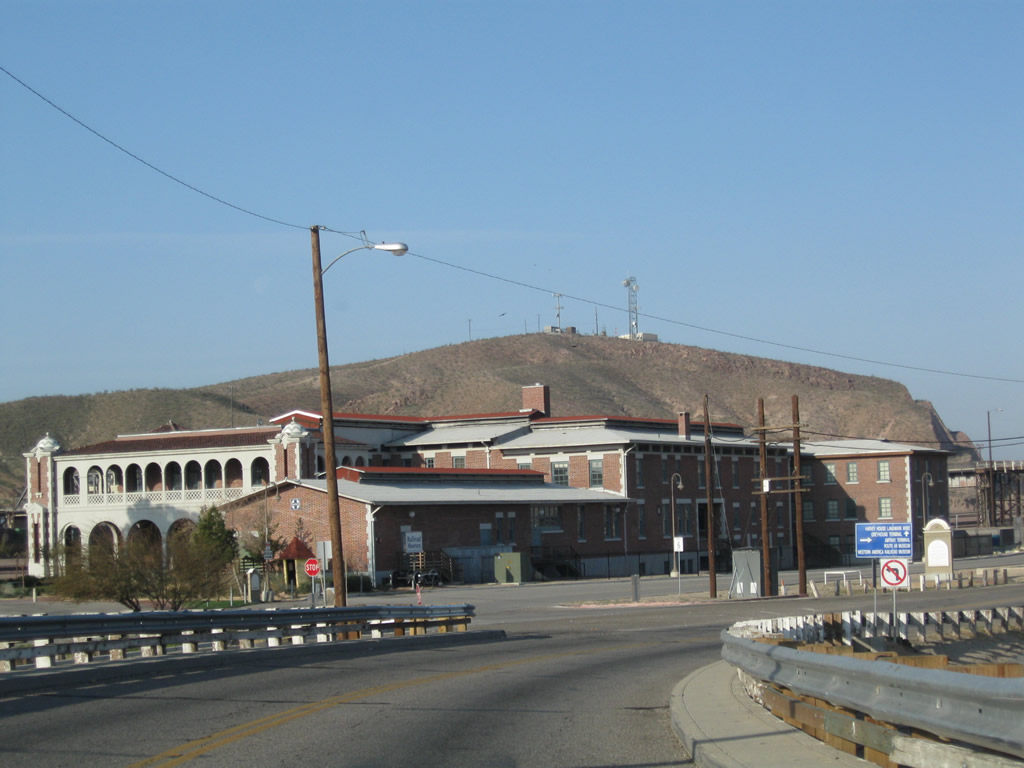
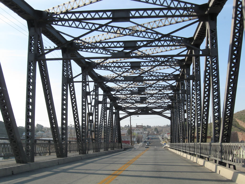
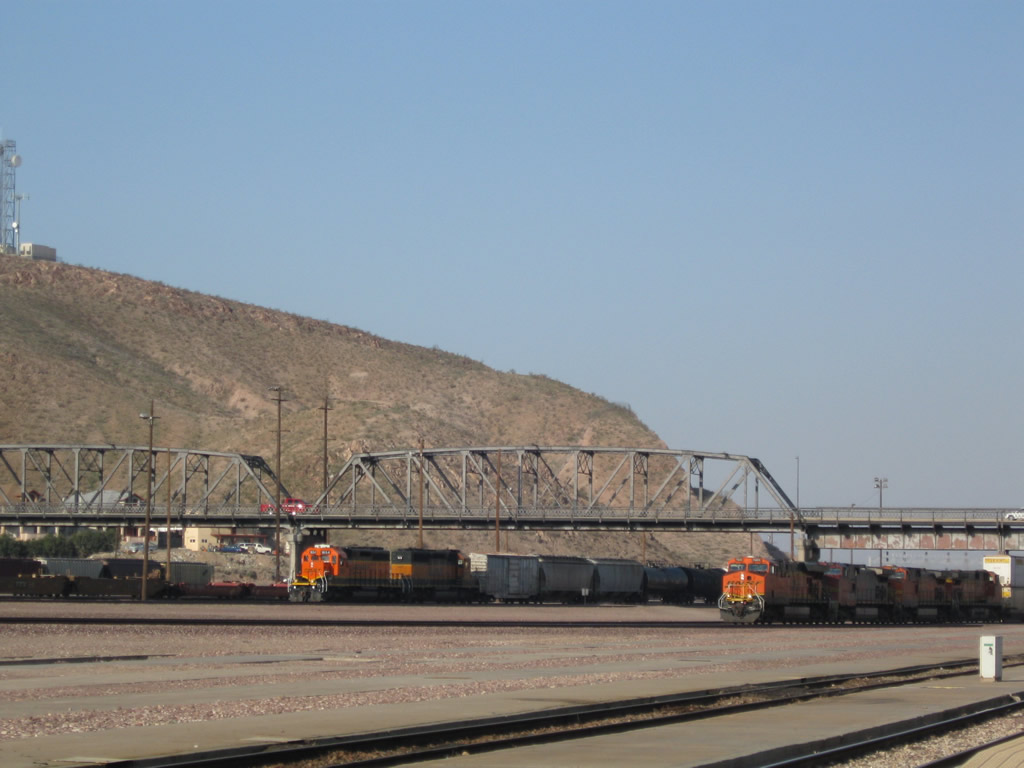
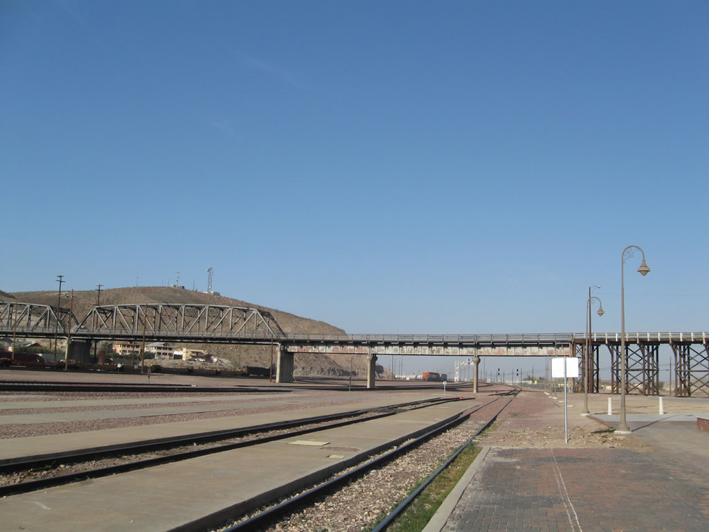
Beyond the truss section of the Old Iron Bridge, old U.S. 91 turned northeast toward the Harvey House and old railroad depot. The Mojave River Bridge comes into view in the distance.
03/15/09
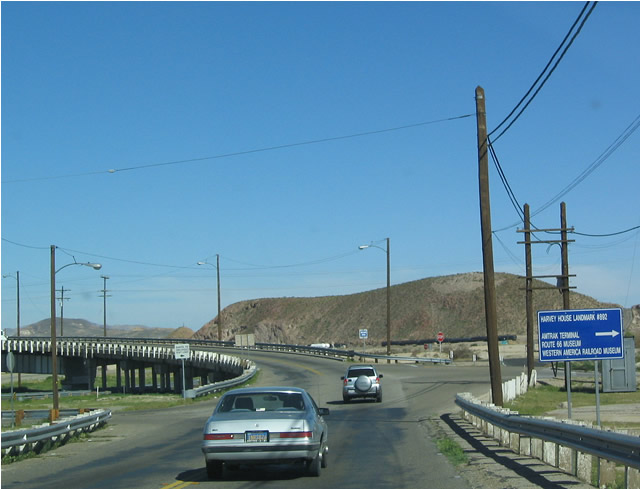
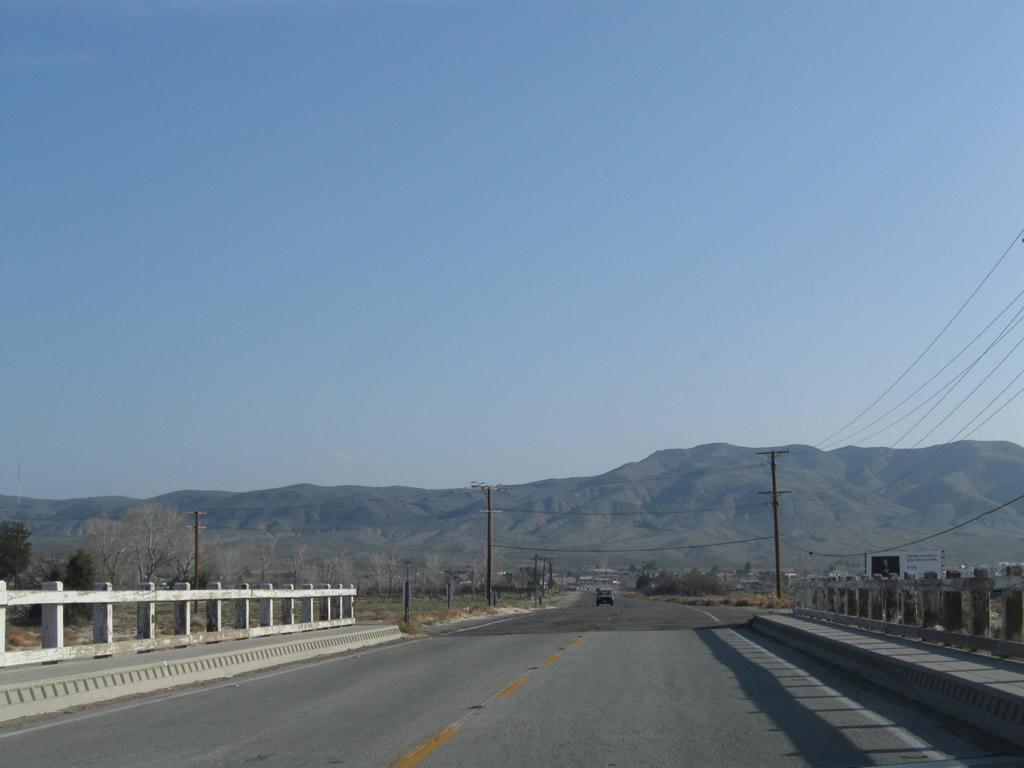
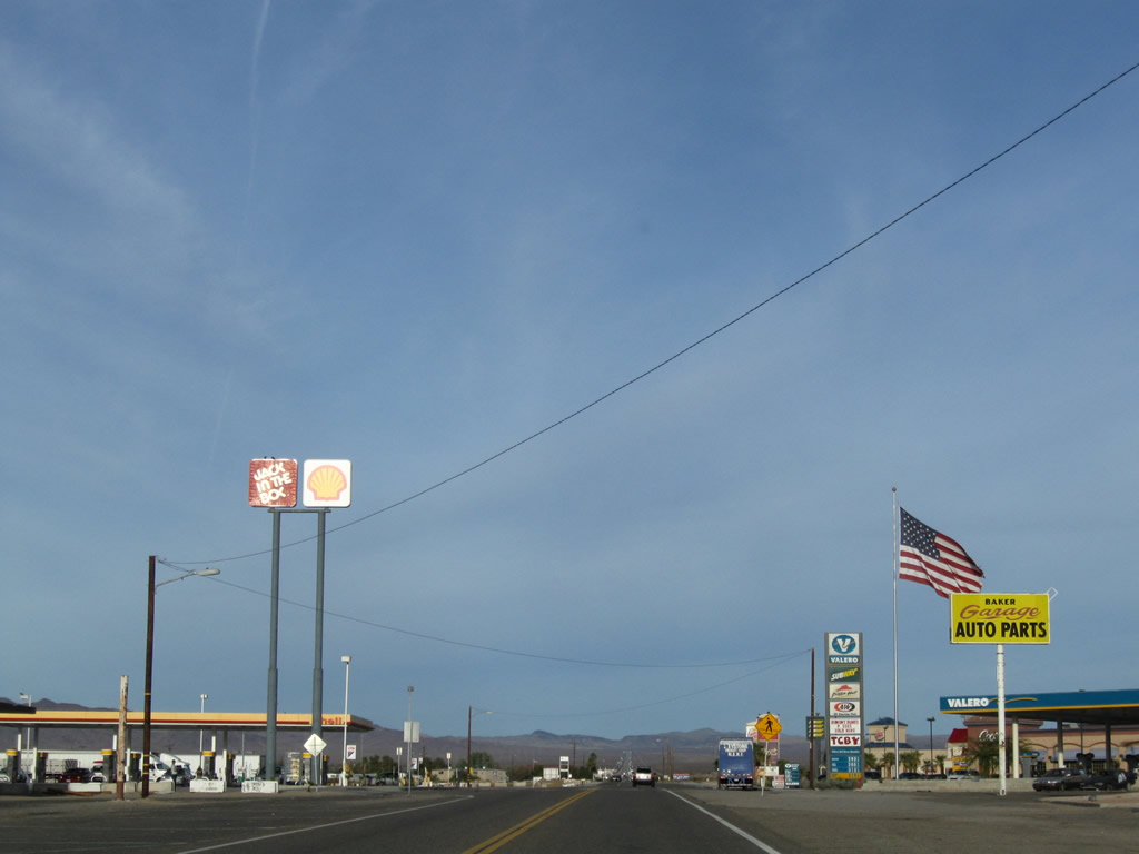
Northbound Historic U.S. 91 (First Avenue) at the turn off for the Harvey House, U.S. 66 Historic Museum, Western America Railroad Museum and train depot.
03/20/04
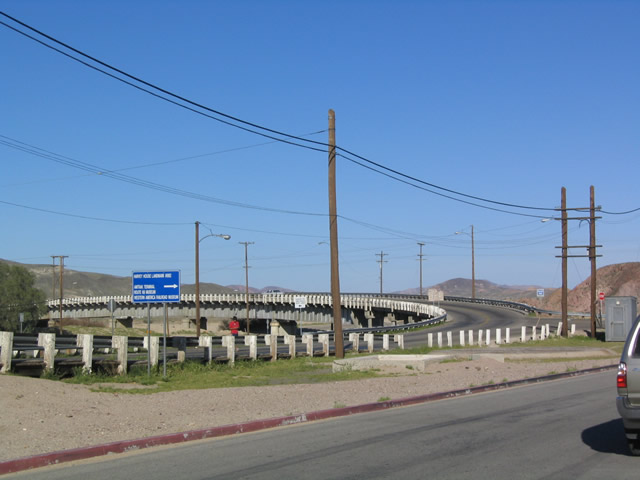
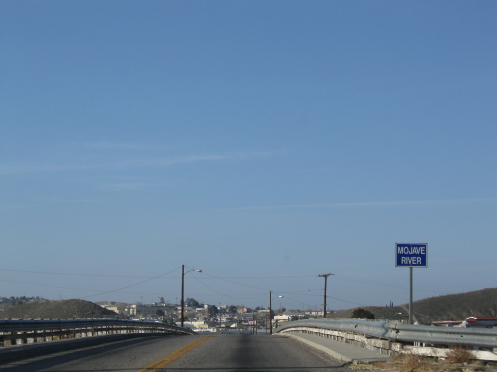
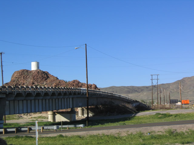
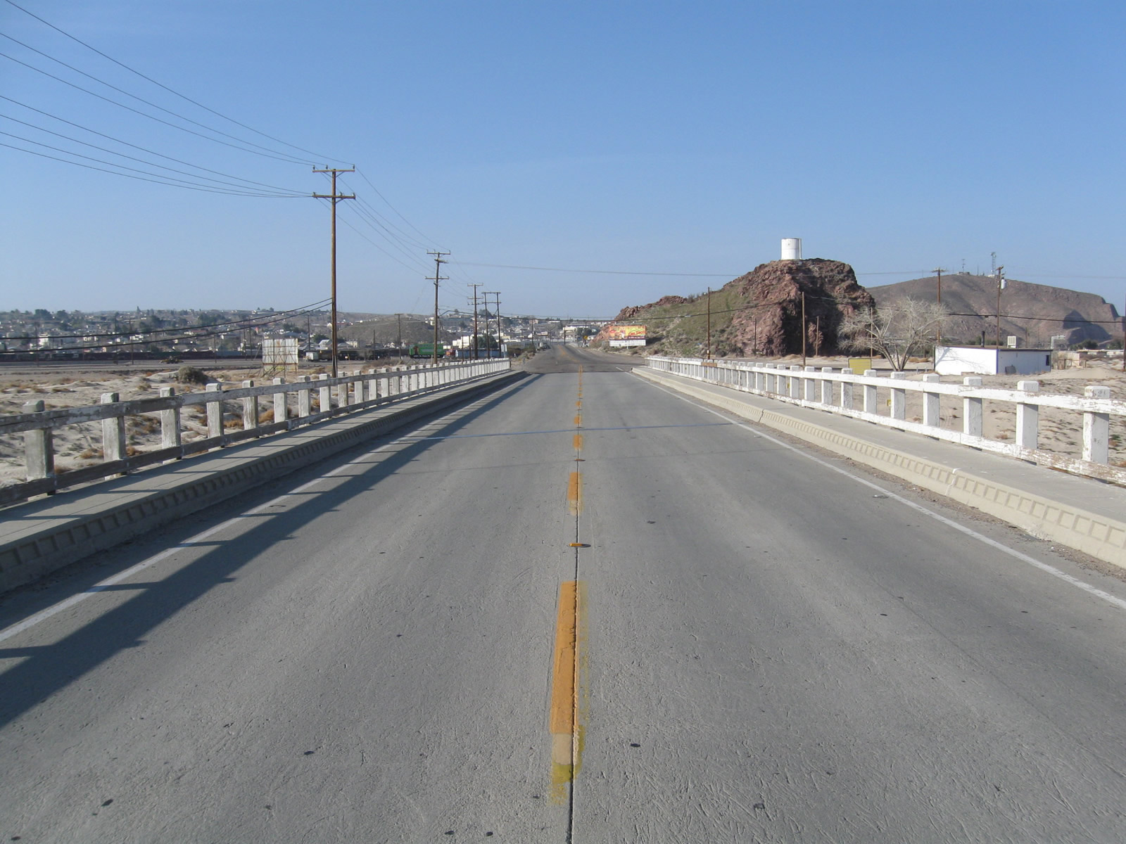
The Mojave River Bridge along Historic U.S. 91 lies just north of the Harvey House.
03/20/04
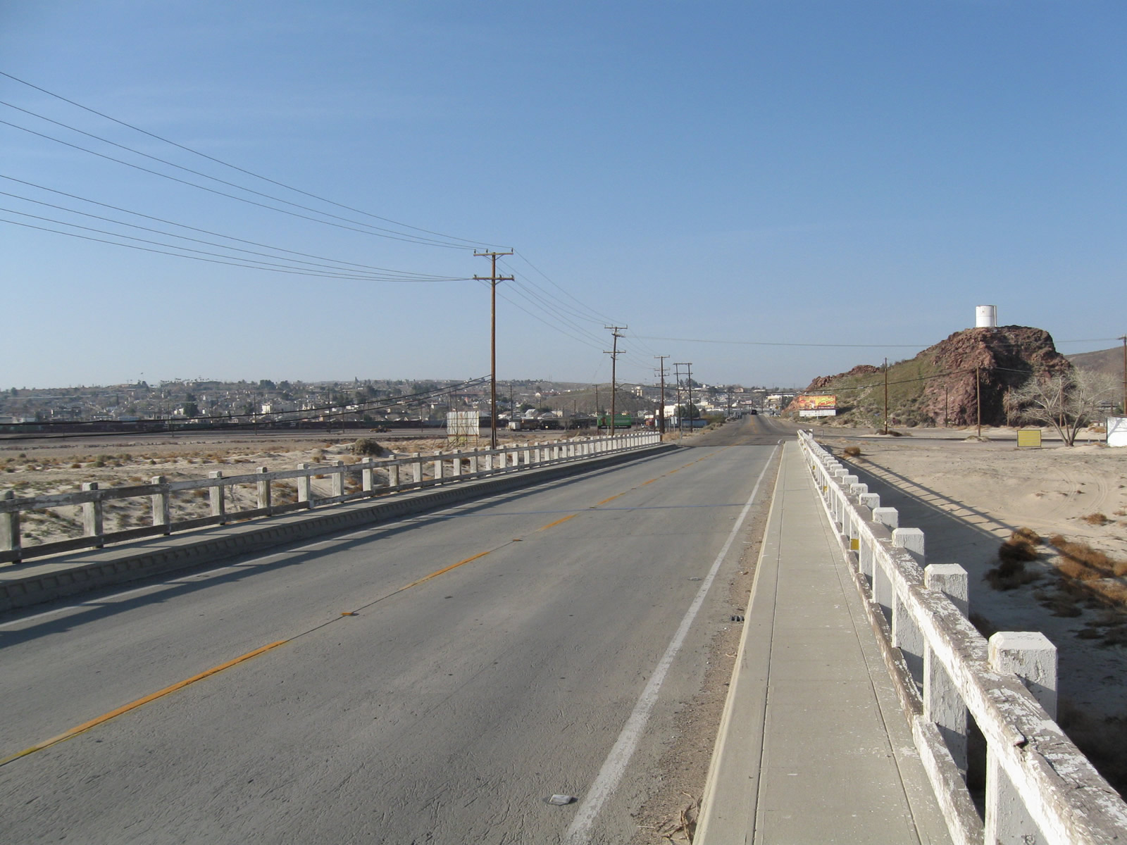
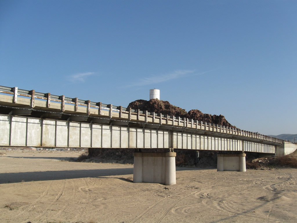
The Mojave River Bridge along Historic U.S. 91 also spans Riverside Drive in addition to the sandy bottom of the Mojave Riverbed.
03/15/09
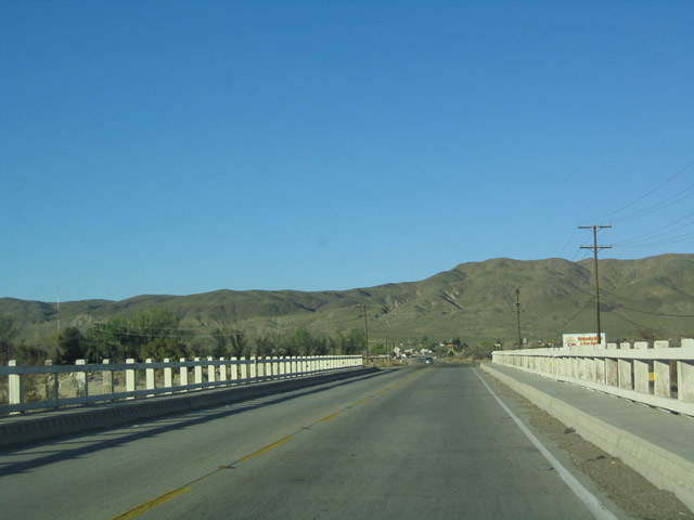
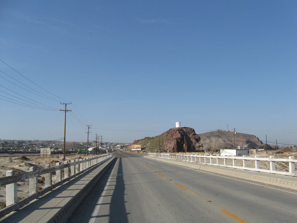
Built in the early 1930s, the Mojave River Bridge along old U.S. 91e remains largely unchanged since it was constructed.
03/20/04
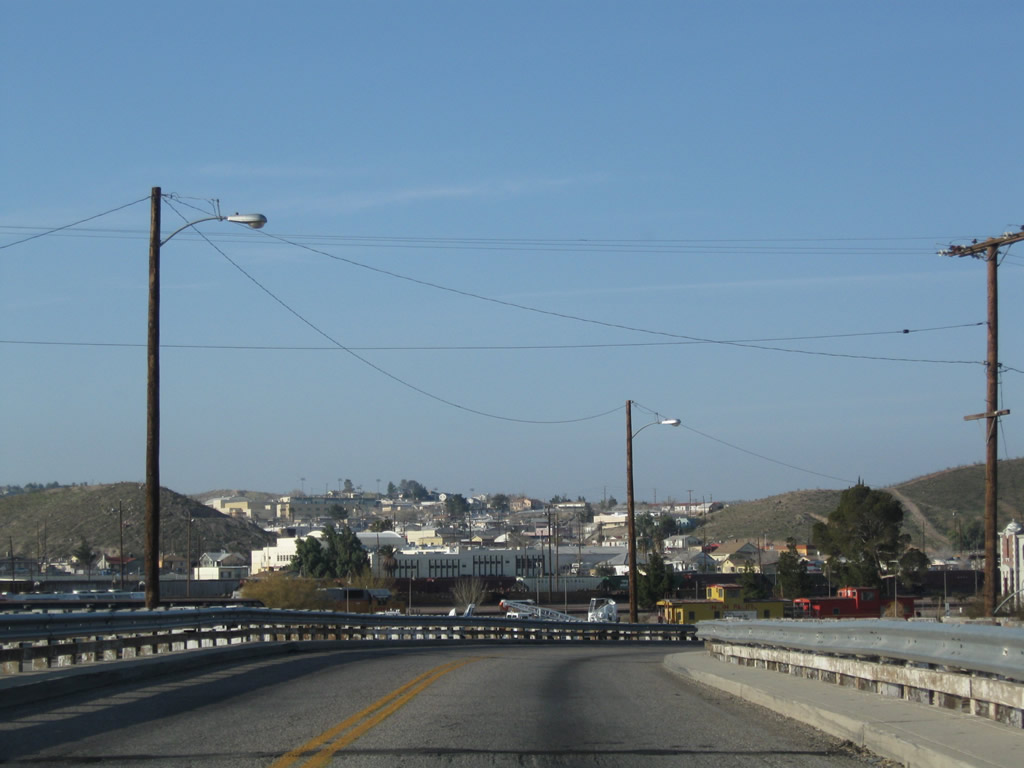
The white, wooden guardrail of the Mojave River Bridge on old U.S. 91 was replaced with metal rail by 2008.
03/15/09
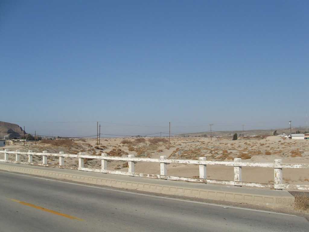
Beyond the intersection with Irwin Road, N 1st Avenue (Historic U.S. 91) crosses another historic bridge over a tributary to the Mojave River. This span features white wooden railing and concrete divoted curbing.
03/15/09
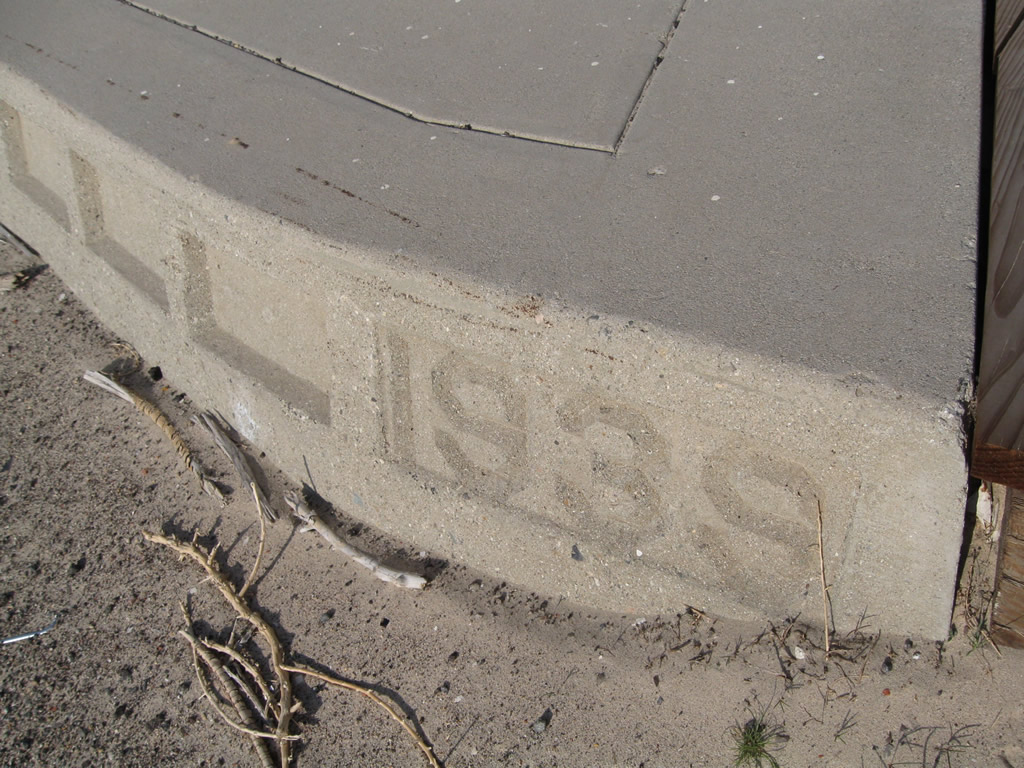
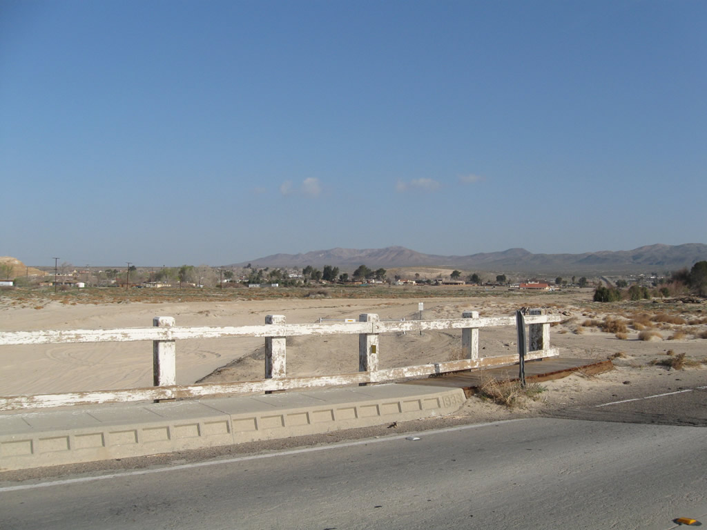
The date stamp for the second Mojave River bridge north of Irwin Road identifies the year of construction as 1939.
03/15/09
N 1st Avenue (old U.S. 91) runs along the Barstow city line north from Poplar Street to the junction with old U.S. 466 (Old Highway 58).
03/15/09
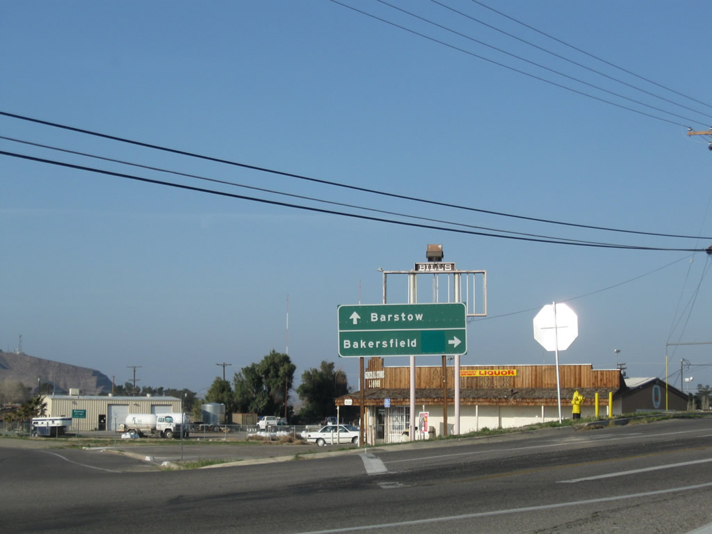
The distance sign posted where Old U.S. 91 meets Old Highway 58 in North Barstow was carbon copied by 2021. Old Highway 58, which was previously U.S. 466, heads west to Bakersfield and the Central Valley. Historic U.S. 91-466 arc eastward along Old Highway 58 to Interstate 15 at Exit 186.
03/20/04
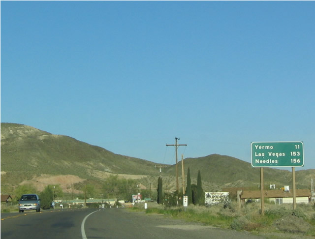
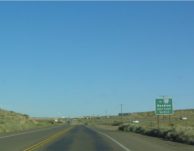
Removed by 2007, a distance sign posted after Historic U.S. 91-466 combined in North Barstow referenced Yermo and Las Vegas, both of which are old U.S. 91 destinations. The last city listed was Needles, the control city for eastbound Interstate 40. This was because many travelers from the Central Valley were continuing east on I-40 after leaving State Route 58.
03/20/04
Until the freeway connection along SR 58 was completed south of Barstow, regional travelers were relegated to this two-lane stretch of Old Highway 58 to join Interstate 40 via southbound I-15. Posted during that time period, this guide sign for I-40 remains posted as of May 2025.
03/20/04
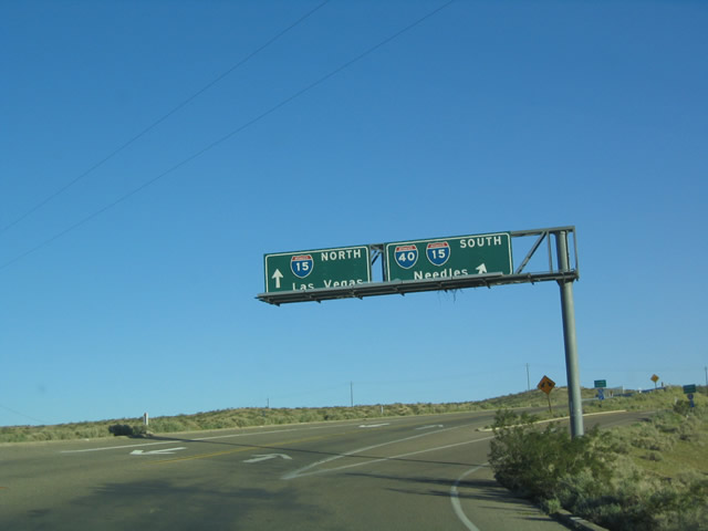
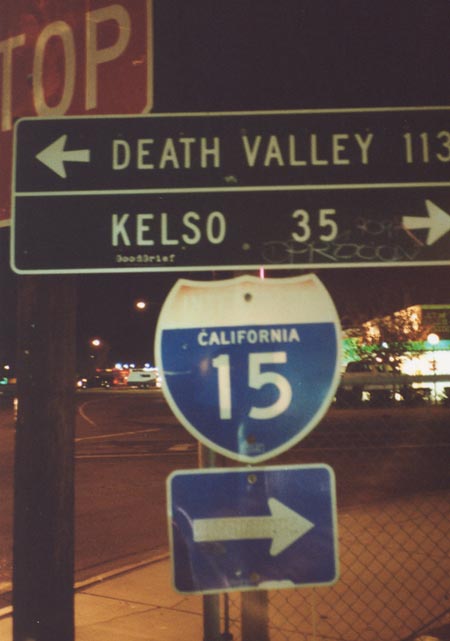
A trumpet interchange joins Old Highway 58 with Interstate 15. U.S. 91-466 historically followed I-15 east to Yermo then northeast toward Baker and Las Vegas.
03/20/04
Part of the business route from I-15 through Baker, an old bridge carries Historic U.S. 91-466 (Baker Boulevard) northeast over the Mojave River, a seemingly dry river that links with Soda Dry Lake to the south.
11/11/08
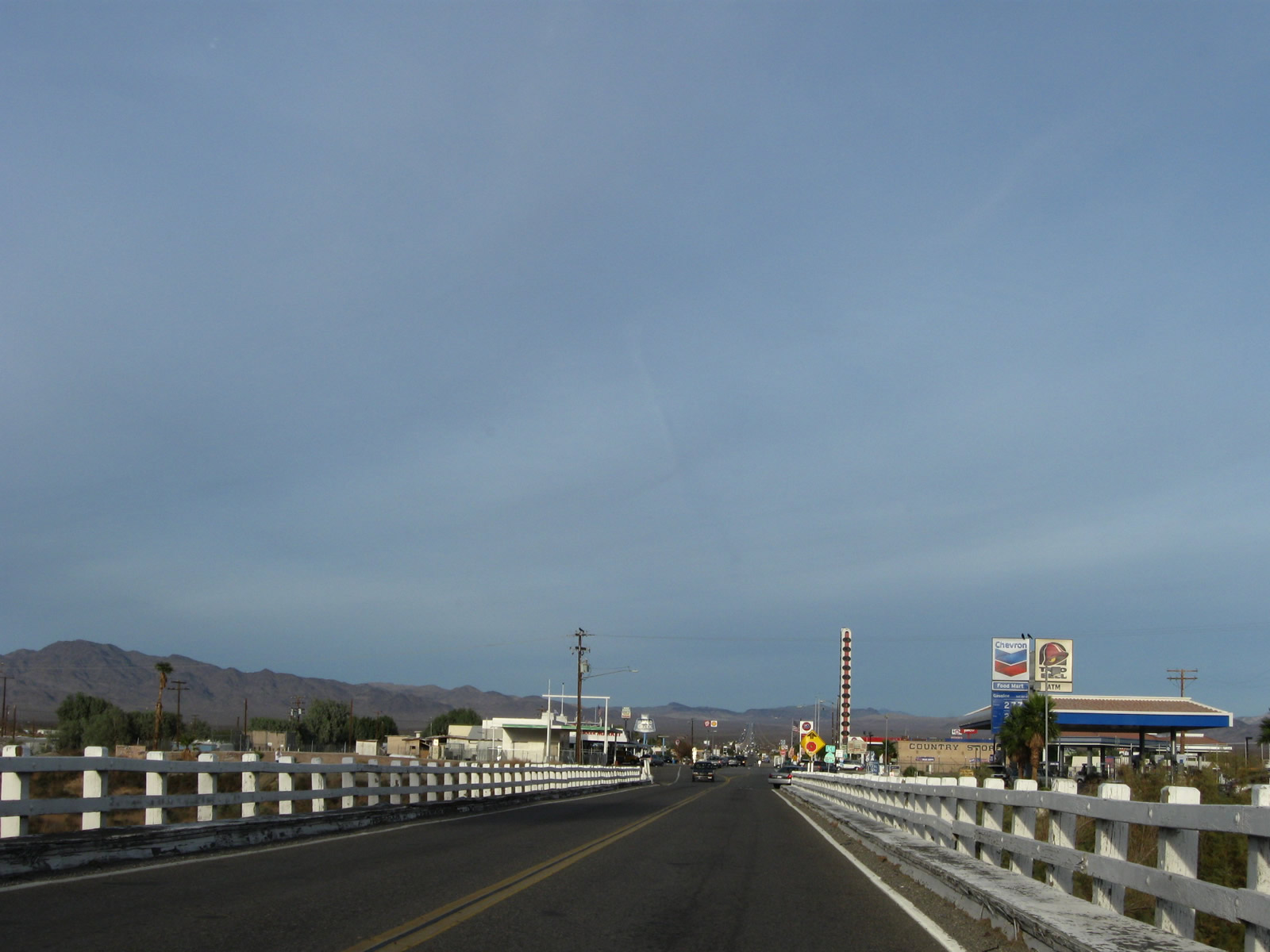
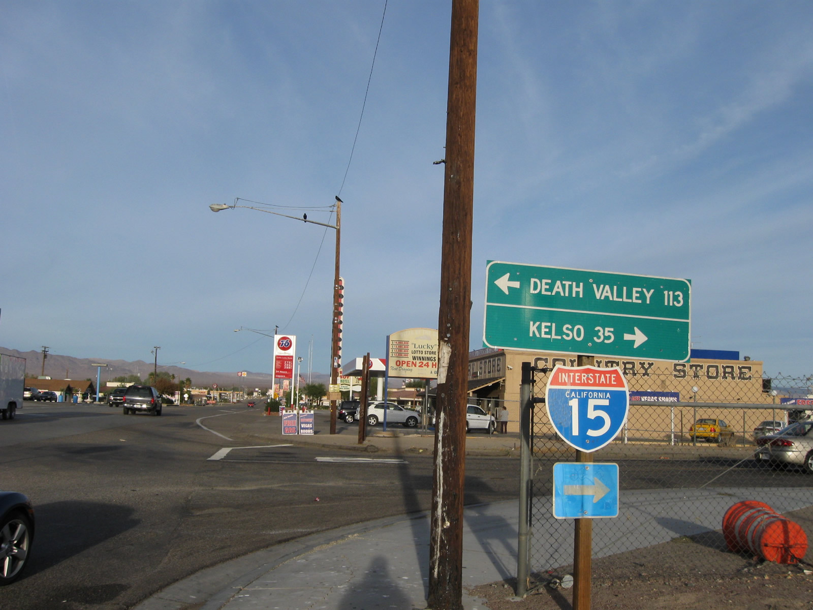
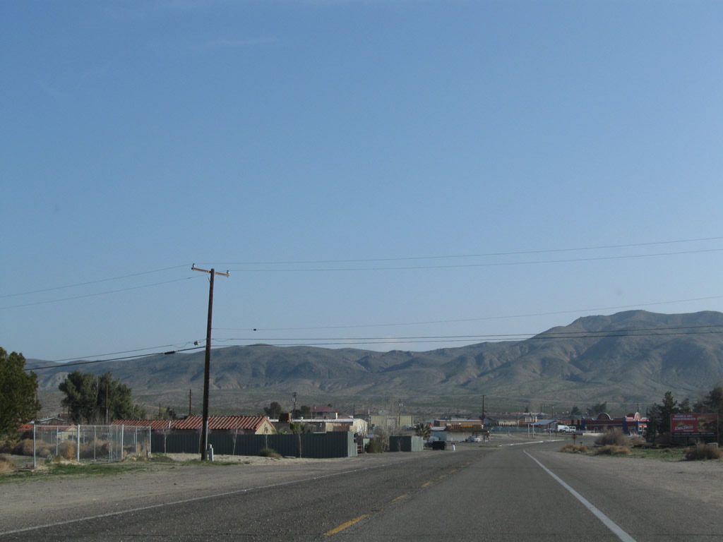
Baker Boulevard proceeds east from the Mojave River in Baker to SR 127 (Death Valley Road). SR 127 travels north to Shoshone and Death Valley south to a nearby diamond interchange (Exit 246) with Interstate 15.
11/11/08
11/11/00
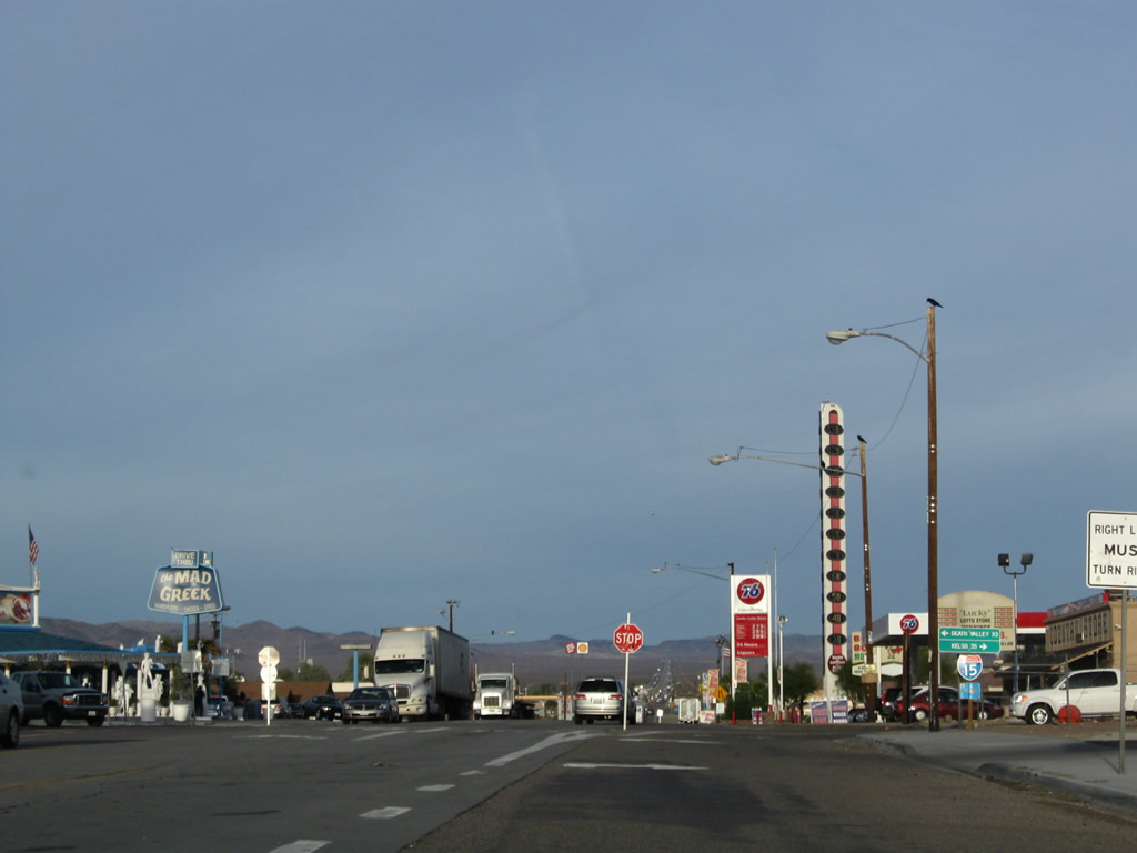
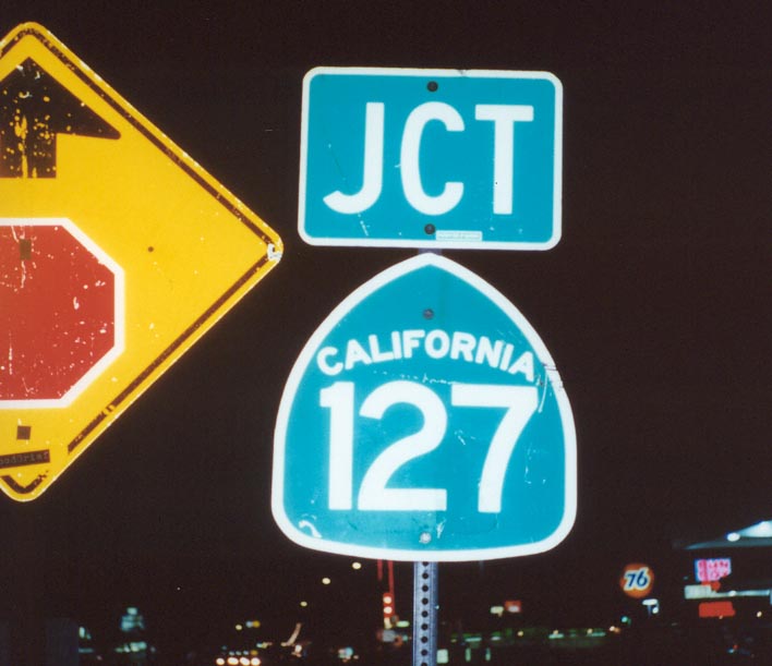
The Baker Thermometer comes into view where Baker Boulevard intersects SR 127 (Death Valley Road). Kelbaker Road extends south from the exchange joining SR 127 and Interstate 15 to Kelso.
11/11/08
SR 127 extends north to the Nevada State line, where SR 373 takes over en route to U.S. 95 at Amargosa Valley. Kelbaker Road extends south from the exchange joining SR 127 and Interstate 15 to Kelso.
11/11/08
11/11/00
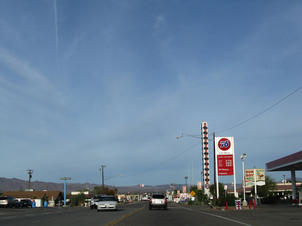
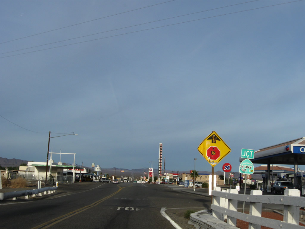
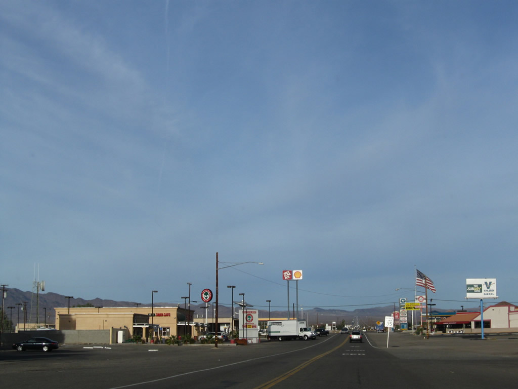
Continuing past the four-way intersection with SR 127 in Baker, northbound Historic U.S. 91-466 proceeds past several restaurants, gas stations and motels.
11/11/08
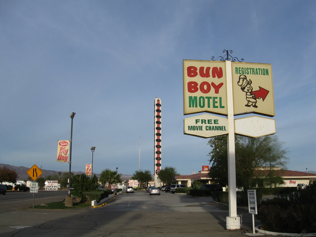
Long since closed, the Bun Boy Motel was all that remained of the Baker Bun Boy, which used to feature a well-advertised restaurant that today is Bob's Big Boy.
11/11/08
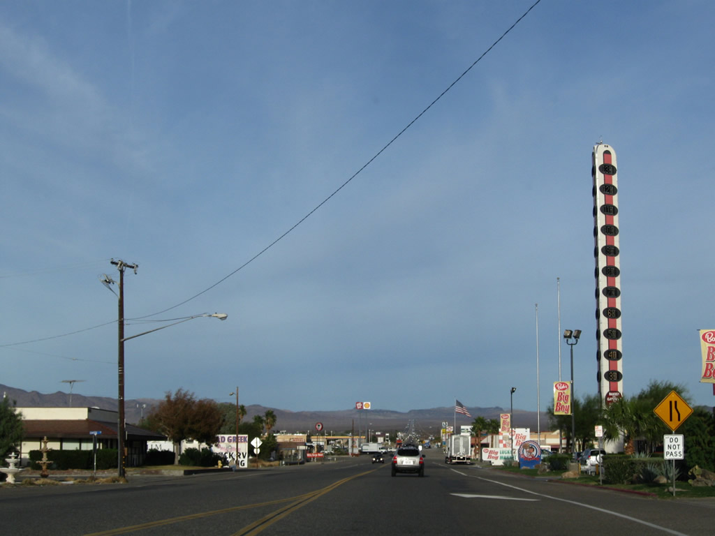
Standing at 134 feet, the Baker Thermometer towers above the nearby gas stations and restaurants near the site of Bun Boy/Bob's Big Boy. Often showing temperatures in excess of 100 degrees Fahrenheit each Summer, the thermometer was erected in 1991 and is visible from nearby I-15. The height of the World's Largest Thermometer is based on the highest recorded temperature in Death Valley, 134 degrees Fahrenheit in 1913.
11/11/08
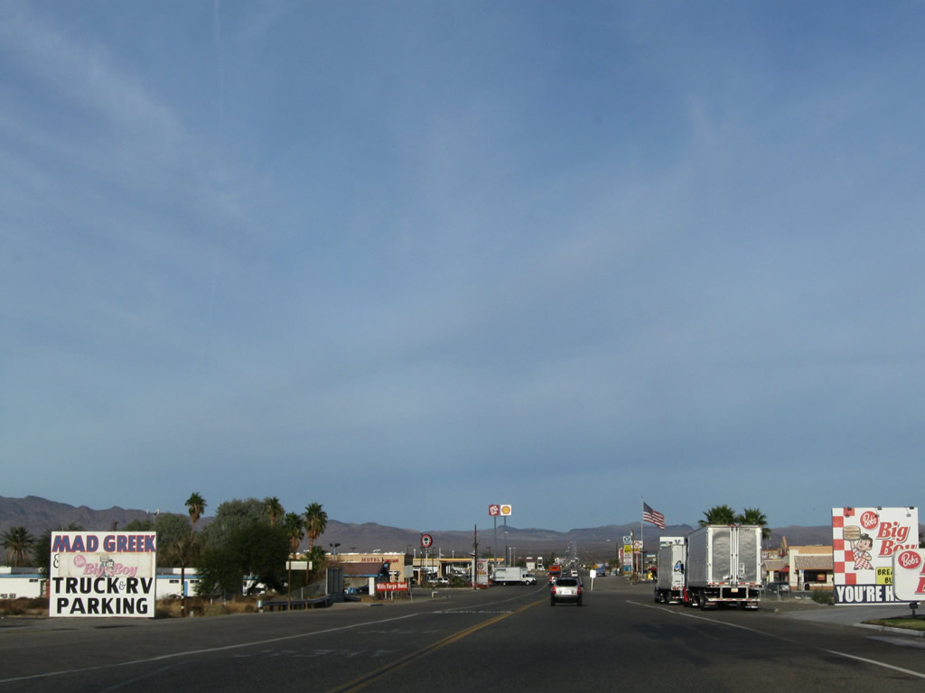
Services line both sides of Historic U.S. 91-466 (Baker Boulevard), including food, gas and lodging. A garage is available to assist motorists with disabled vehicles in the vast desert.
11/11/08
Historic U.S. 466 leaves Interstate 15 at the Old Highway 58 interchange northeast of Barstow. The Interstate 15 bridge over the Mojave River was not preceded by any U.S. highway. U.S. 91 used to follow U.S. 466 west for the first several miles, and the routes used to divided north of downtown Barstow. While U.S. 466 was decommissioned in 1964, another 35 years before the route was bypassed by the current California 58 freeway. During those 35 years, this old alignment was signed and designated as California 58.
03/15/09
A drive-in movie theater is located on the north side of Old Highway 58 by Hawthorne Drive.
03/15/09
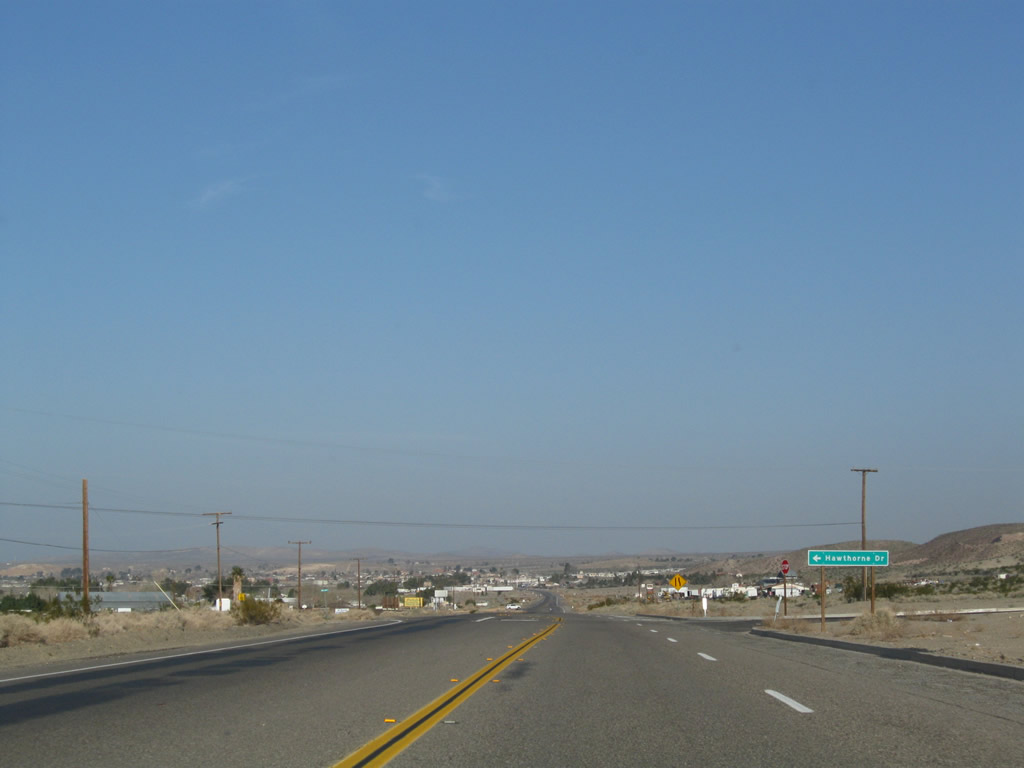
Hawthorne Drive stems south from Old Highway 58 into an adjacent subdivision.
03/15/09
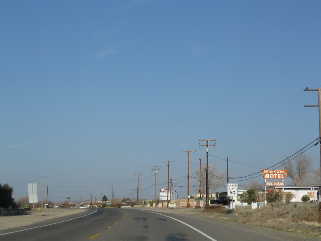
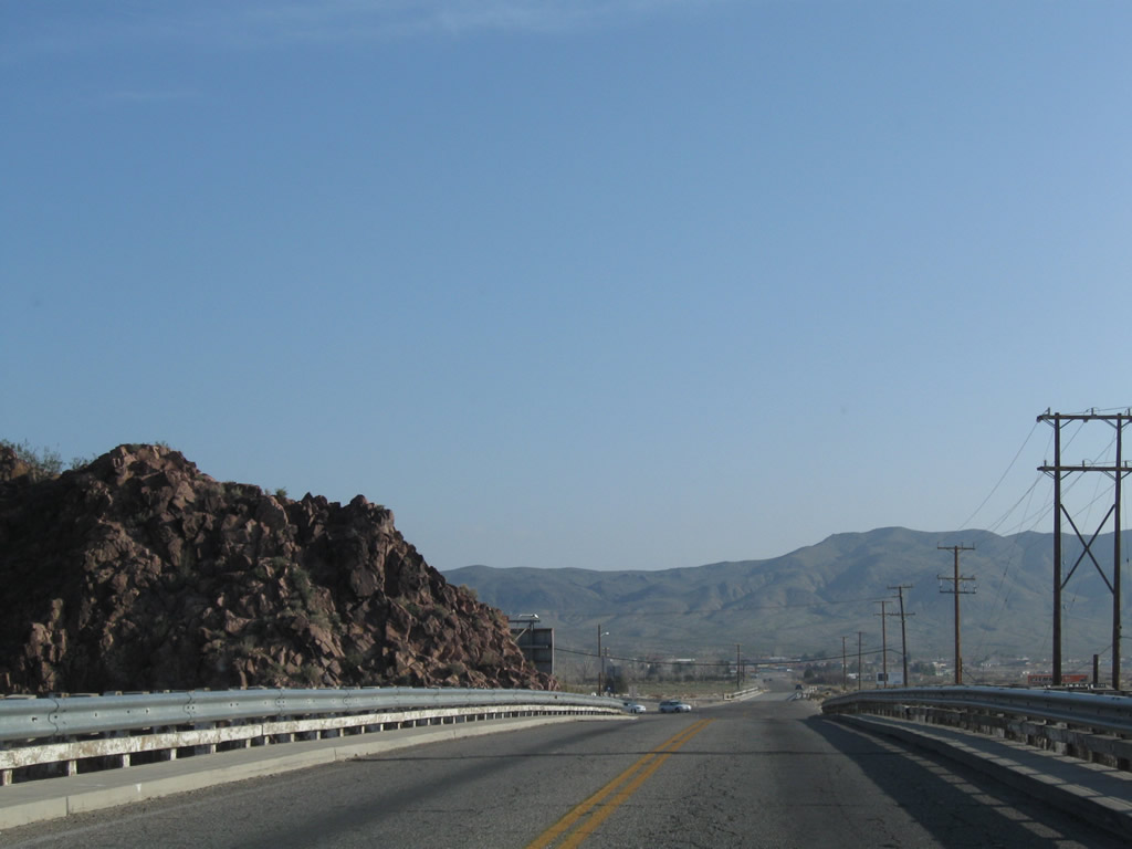
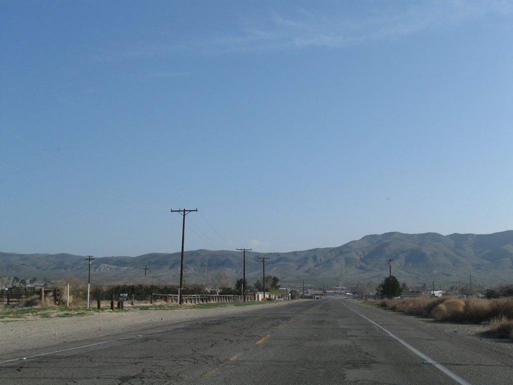
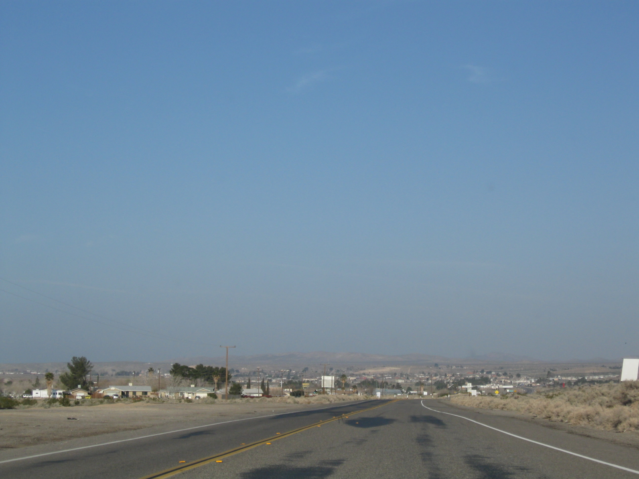
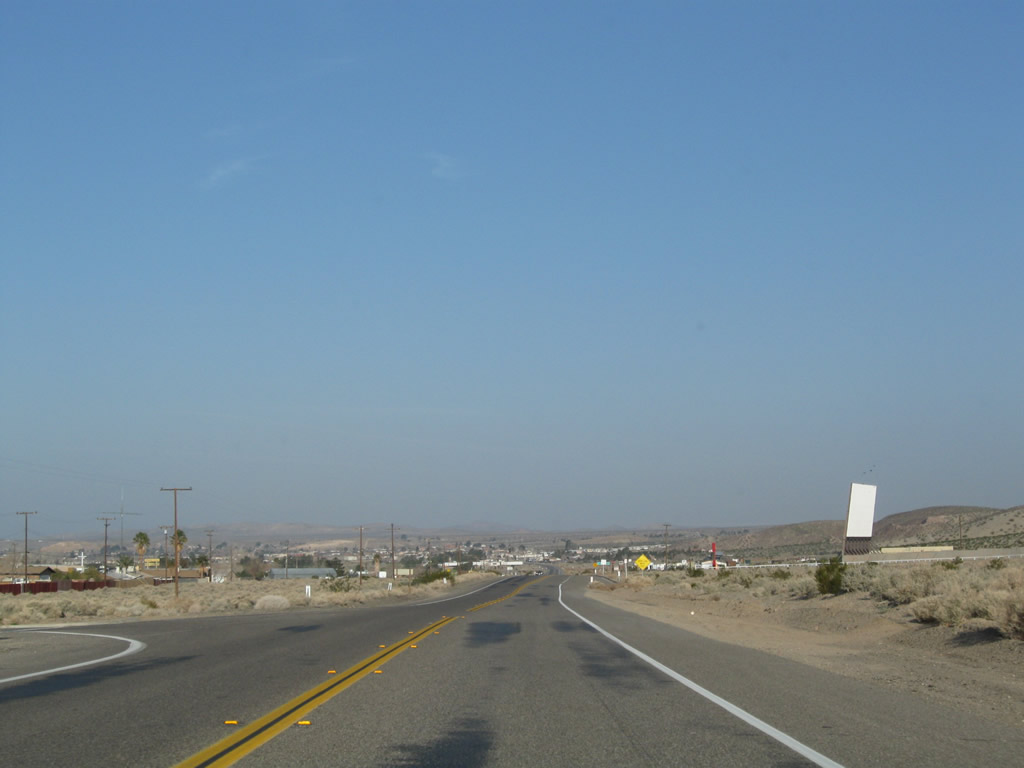
The two-lane highway continues west toward Barstow on a route that roughly parallels the Mojave River while staying on the north side of the river.
03/15/09
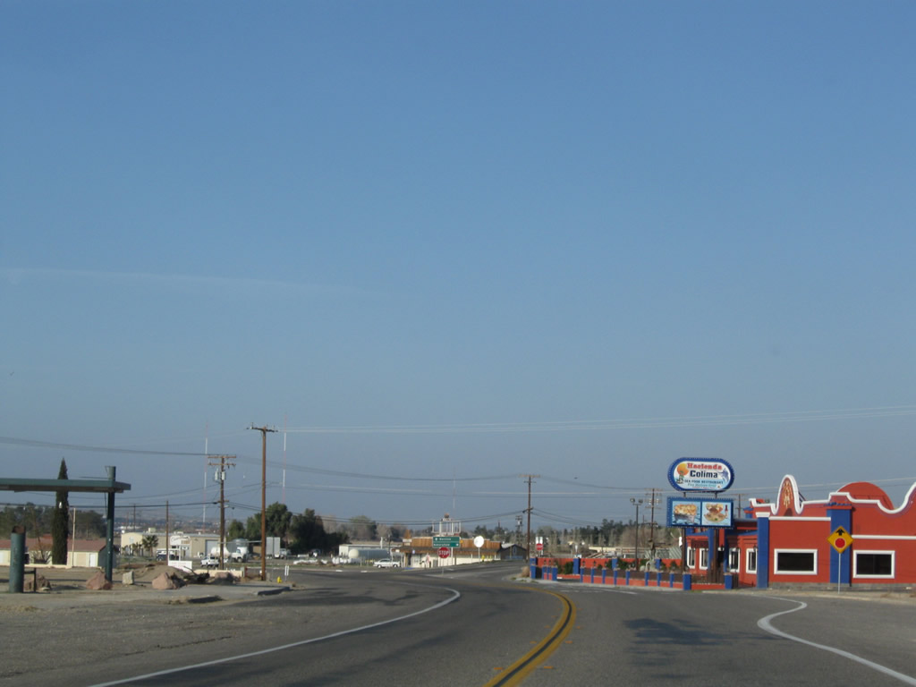
The U.S. highways used to divide at the intersection with First Avenue, which is the next stop sign. Old U.S. 91 shifts southwest along 1st Avenue into Barstow while former U.S. 466 and Old Highway 58 turn proceed west to Irwin Road and Lenwood Road linking with SR 58.
03/15/09
The sign referencing Barstow (via Historic U.S. 91 south) and Bakersfield (via Old Highway 58 west) at First Avenue and Old Highway 58 was removed by 2023. The green overlay on the sign covered an SR 58 shield.
03/15/09
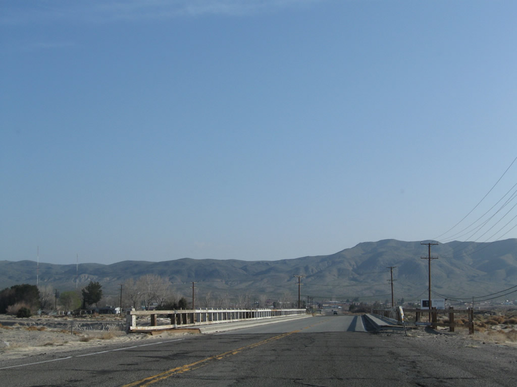
Between Old Highway 58 and Irwin Road, Historic U.S. 91 crosses a mostly dry wash that leads into the Mojave River. This bridge was constructed in 1939 according to the date stamp.
03/15/09
After the Irwin Road intersection, southbound Historic U.S. 91 (First Avenue) approaches the main Mojave River crossing that carries the former U.S. highway into downtown Barstow.
03/15/09
A curving bridge carries First Avenue over Riverside Drive and the Mojave River, which remains apparently dry most of the time. Old bridge railing is obscured by newer standard guardrail. At the end of the bridge is the railroad depot, which includes a Route 66 Museum.
03/15/09
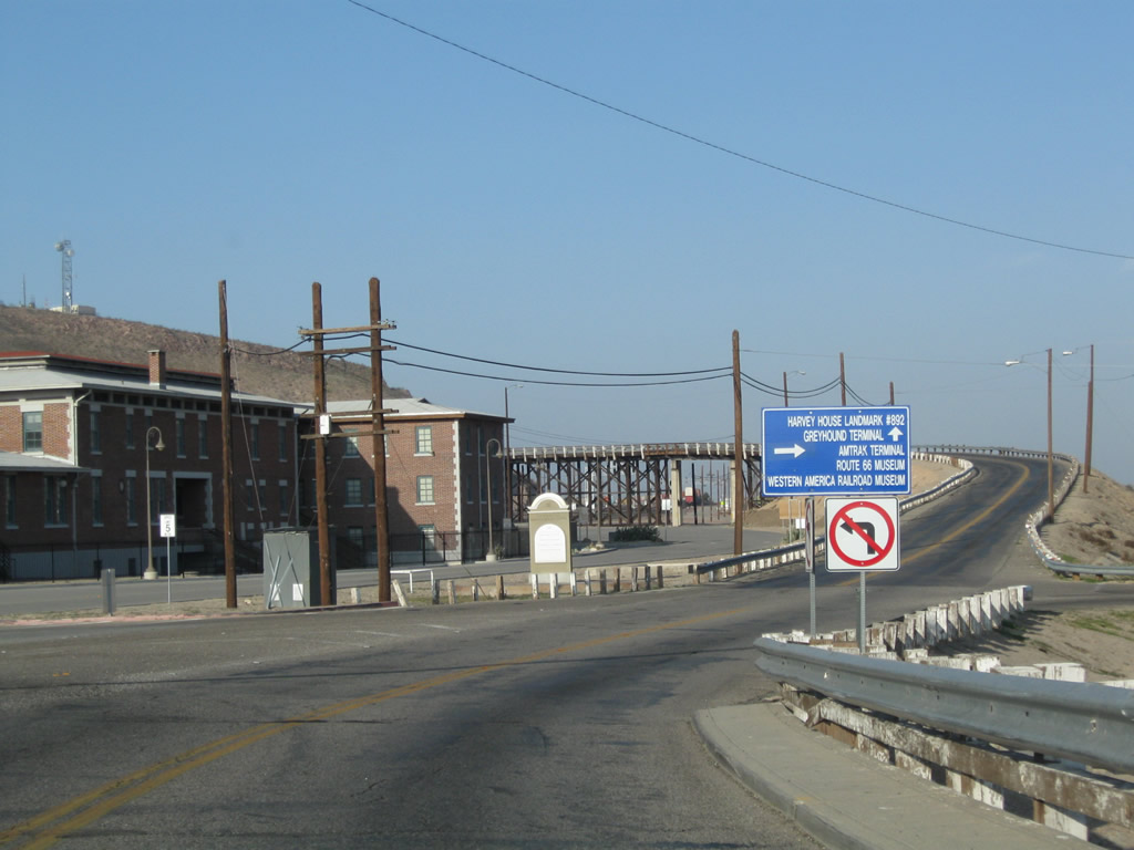
A right turn to Crooks Avenue is required to make the link to the Railroad Depot, which includes the Harvey House (Casa del Desierto), Route 66 Museum (open since July 4, 2000), Western America Railroad Museum, and Amtrak / Greyhound Terminal. First Avenue continues south across the railroad yard to Downtown Barstow and Historic U.S. 66 (the Main Street of America).
03/15/09
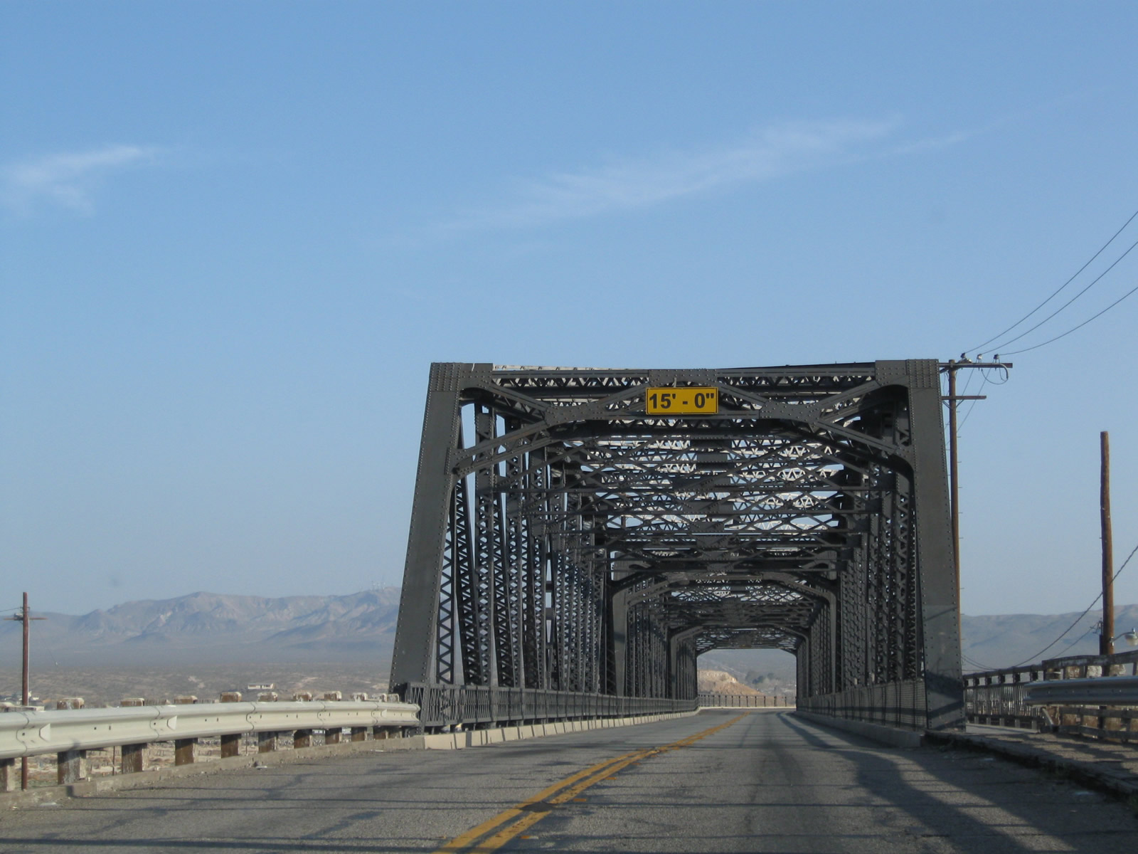
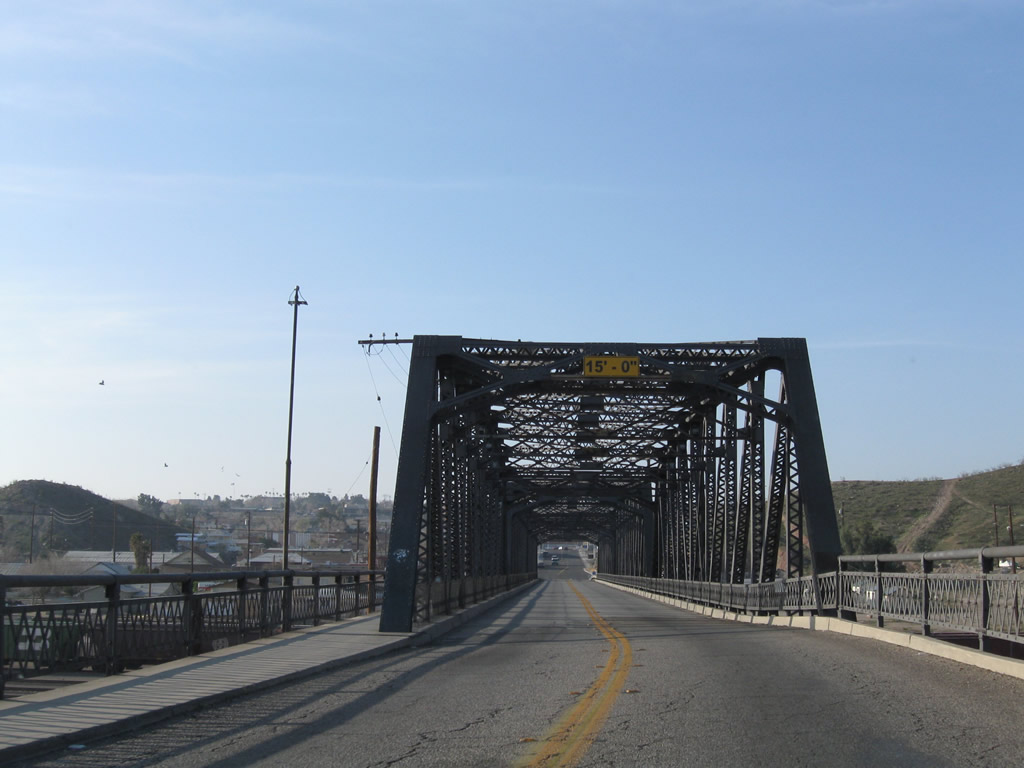
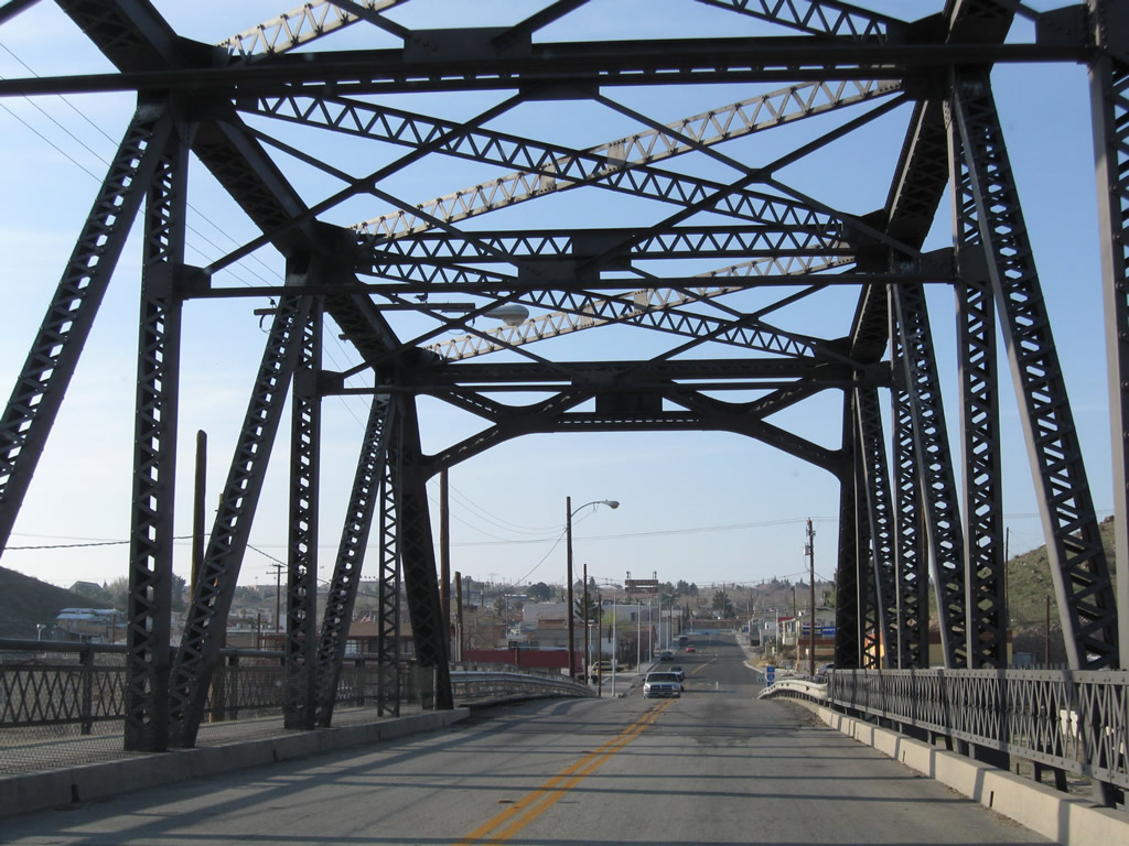
Historic U.S. 91 (First Avenue) previously ascended across the Old Iron Bridge, which opened on April 26, 1930.
03/15/09
Linking Downtown Barstow with the historic Harvey House, which was built in 1911, the Old Iron Bridge spanned the Burlington Northern Santa Fe (BNSF) Railroad yard.
03/15/09
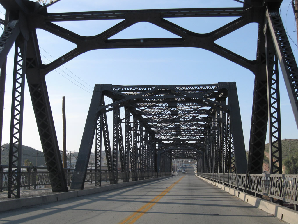
2023-24 construction replaced the Old Iron Bridge with a modern span to the west. The former bridge along Historic U.S. 91 was subsequently demolished.
03/15/09
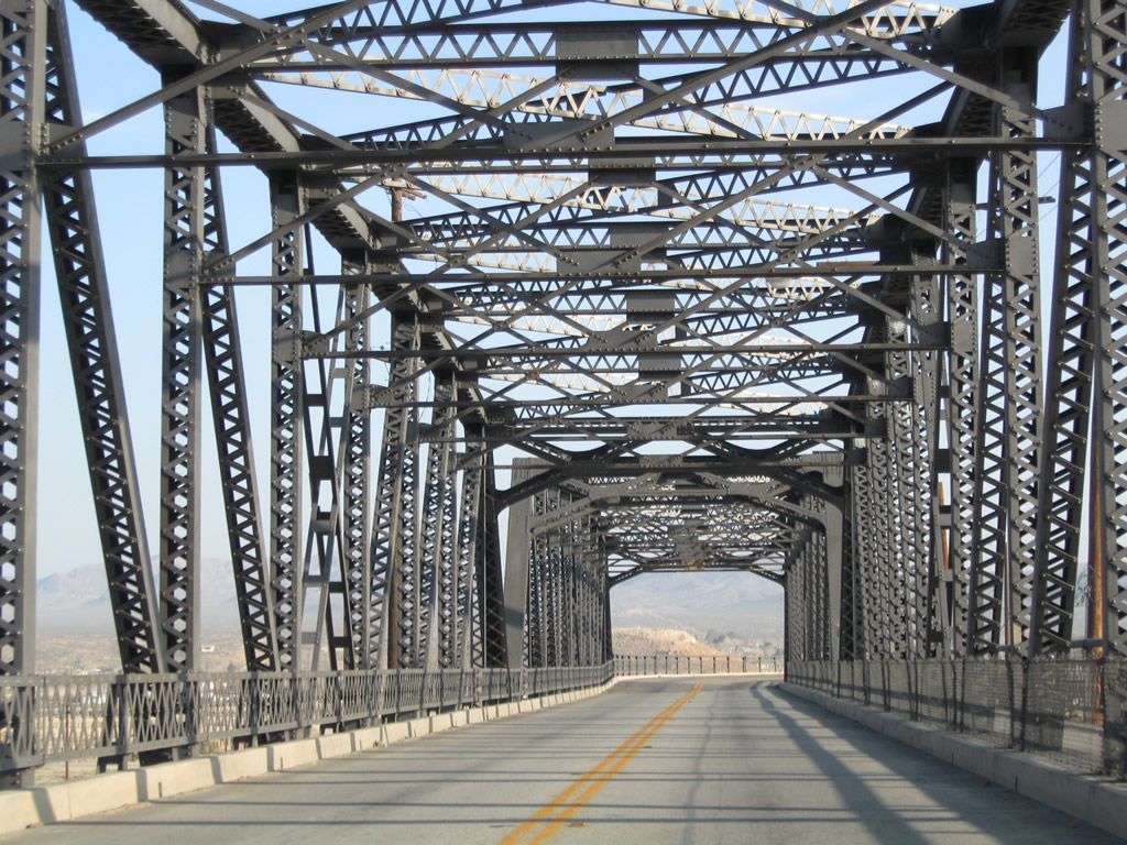
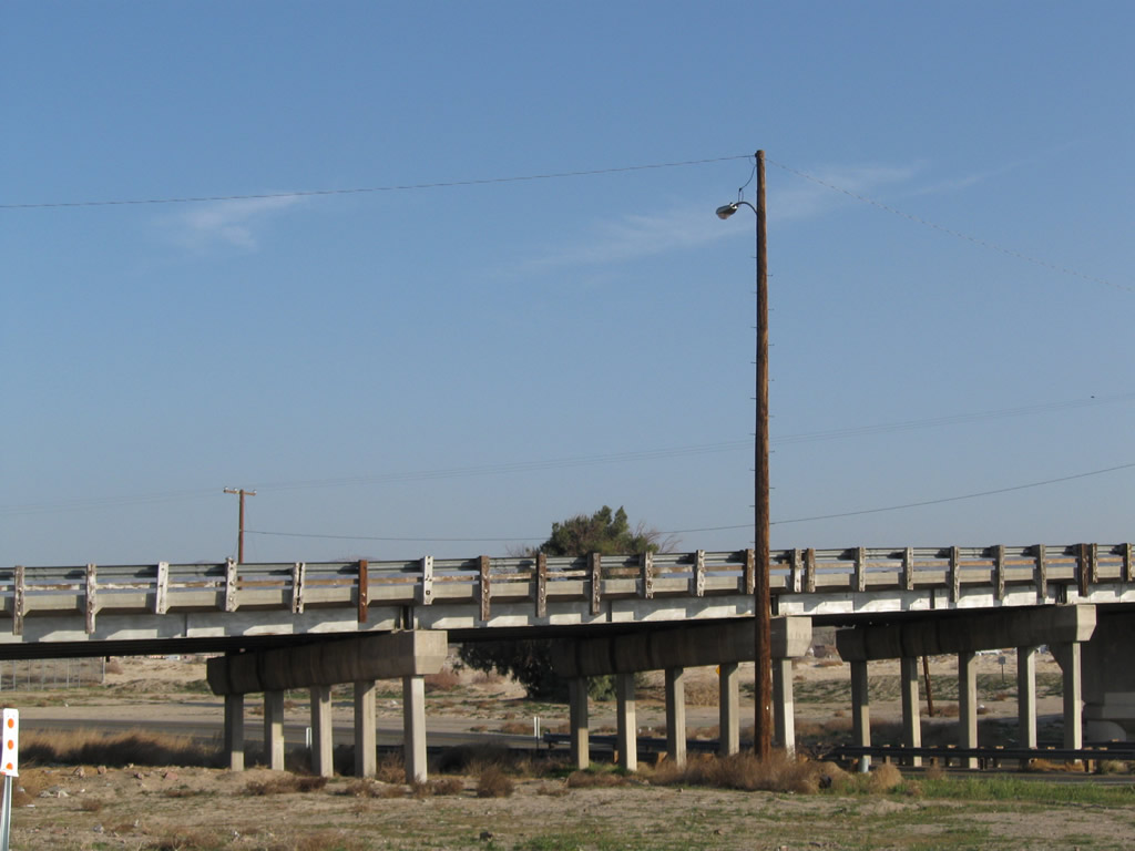
Looking south at the former Old Iron Bridge along Historic U.S. 91 (First Avenue).
03/20/04
1st Avenue south from the Old Iron Bridge was removed during work accommodating the bridge approach for the realignment to the west. 1st Avenue previously returned to grade level by this I-15 trailblazer posted midway between Cottage and Hutchison Streets.
03/15/09
Historic U.S. 91 (First Avenue) south at Business Loop I-15 and Historic U.S. 66 (Main Street) in Downtown Barstow. U.S. 66 east continues across Barstow to I-15 and Interstate 40 east. The historic route of U.S. 91 comibines with old U.S. 66 southwest to Victorville and San Bernardino.
03/15/09
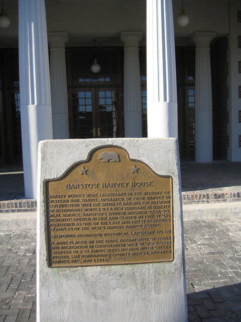
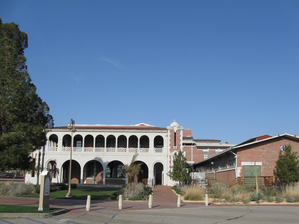
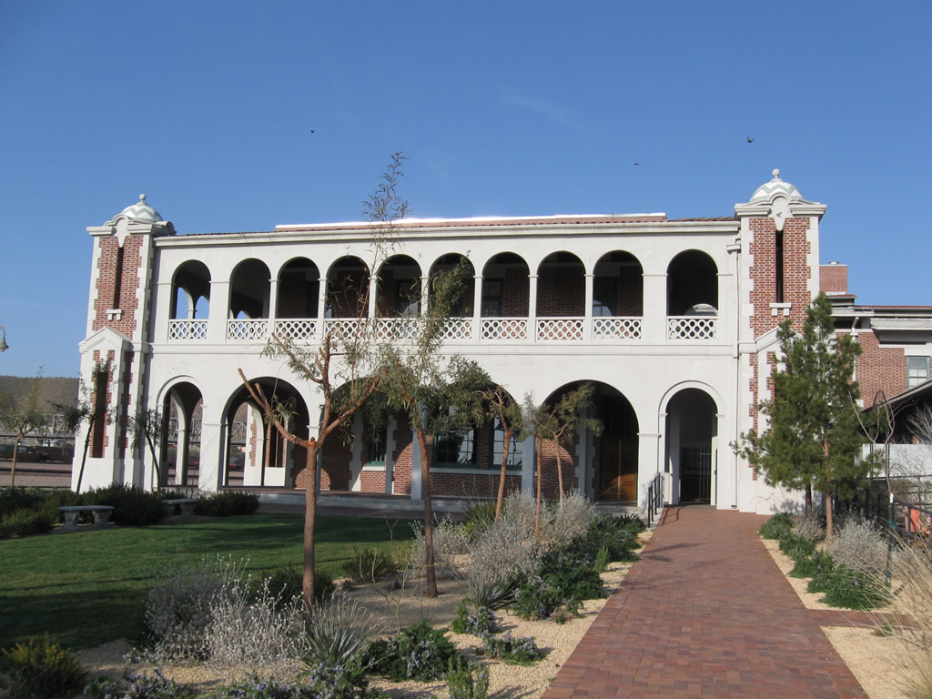
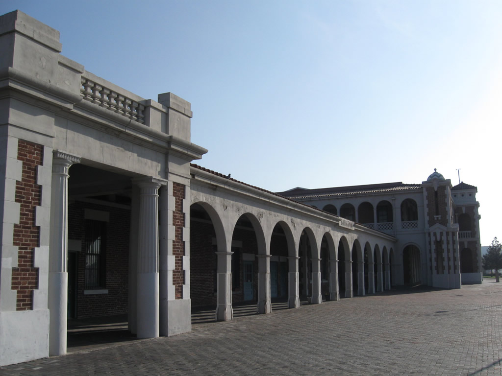
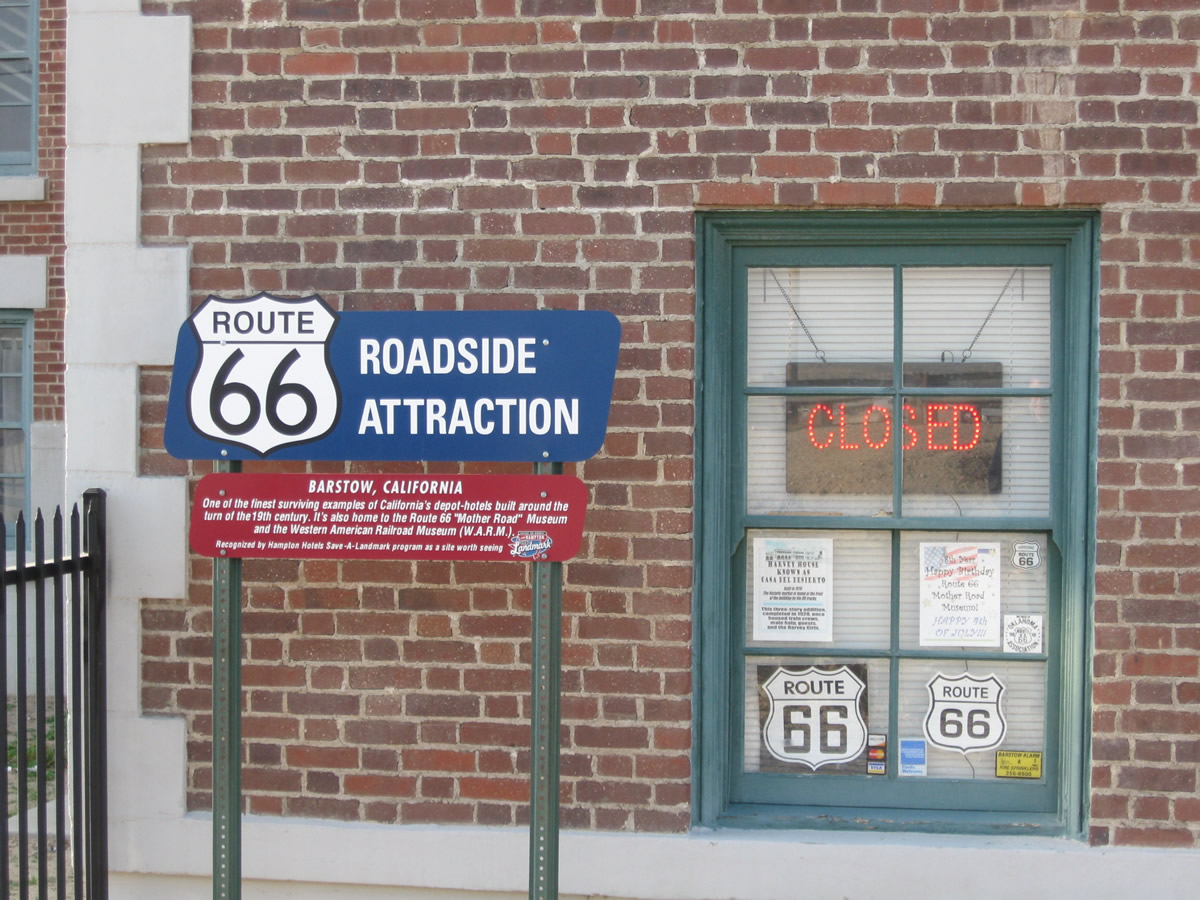
The Harvey House, also known as the "Casa del Desierto," faces the large rail yard in Barstow. Most recently used as part of a Greyhound and Amtrak depot, the Harvey House still contains two museums - one dedicated to U.S. 66 and the other to railroads and trains.
03/20/04
Built in 1911, the Harvey House was at one time operated by Fred Harvey. The house was used by travelers and employees visiting the area and in need of a place to stay.
03/20/04
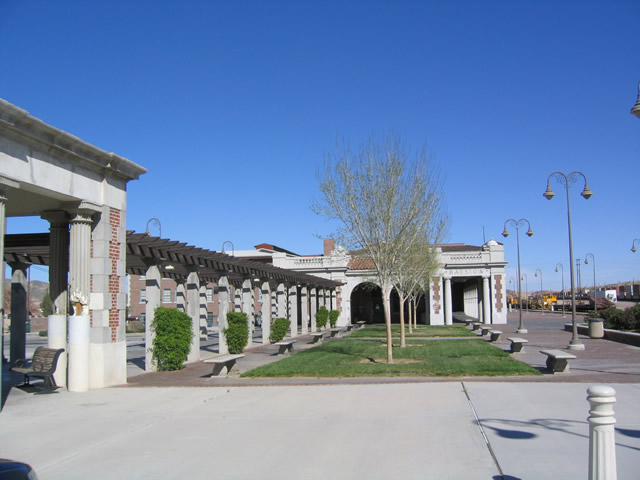
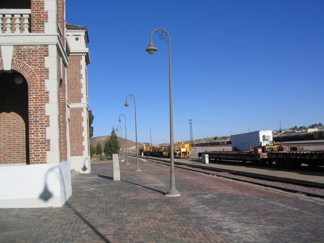
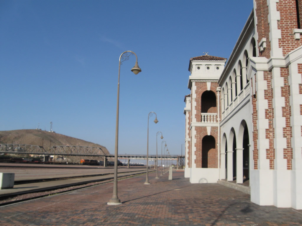
View of the promenade on the south end of the Harvey House, looking north. The rail yard is to the right, while U.S. 91 is located to the left.
03/20/04
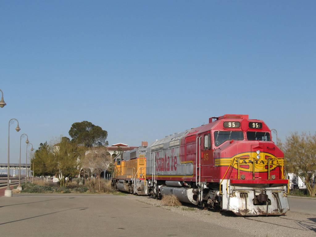
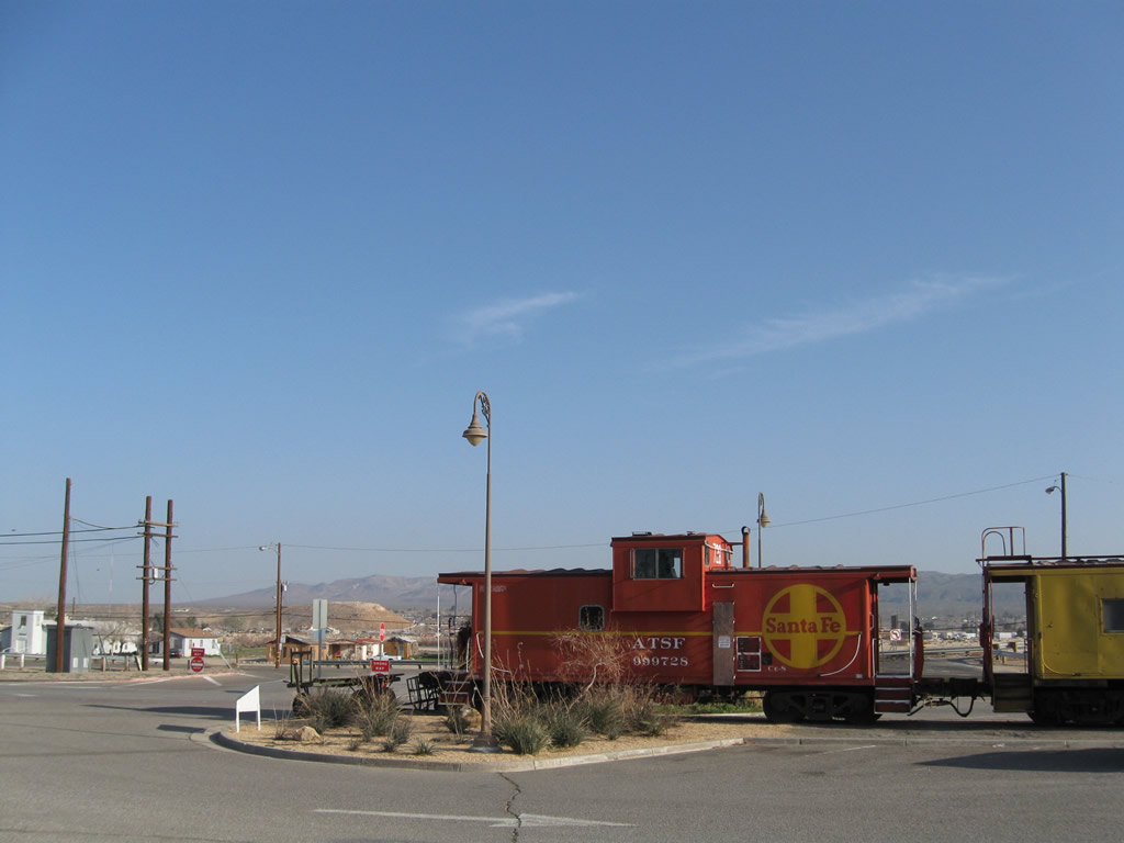
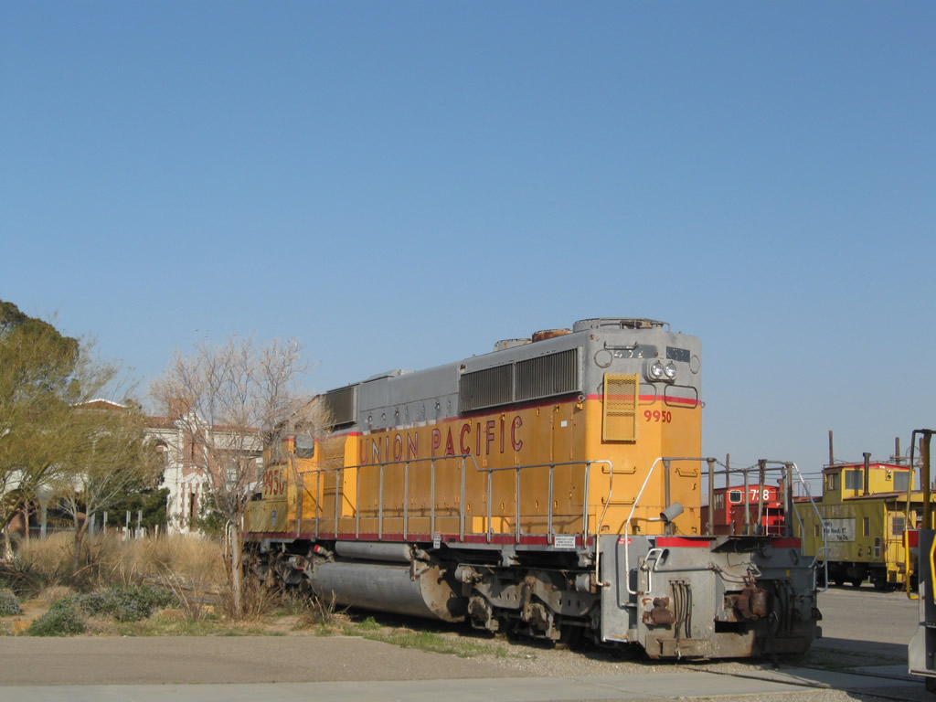
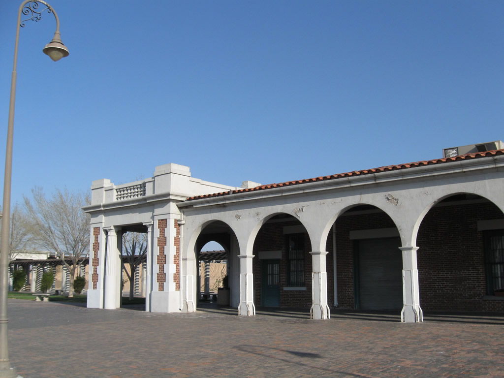
On the grounds of the Harvey House are several old locomotives and cabooses that are no longer in use; they positioned around the Harvey House adjacent to the Burlington Northern Santa Fe (BNSF) Railyard in Barstow.
03/15/09
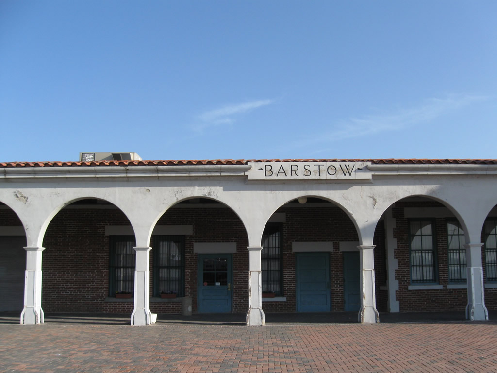
The Harvey House grounds include the Western American Railroad Museum, Historic Route 66 Museum, and a great view of the Burlington Northern Santa Fe (BNSF) Railyard in Barstow.
03/15/09
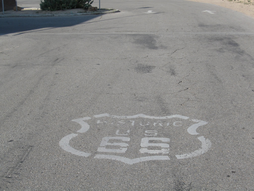
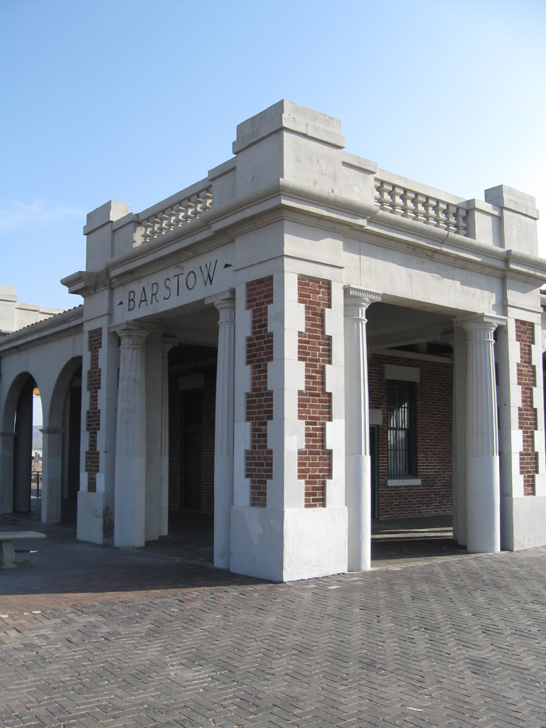
A Historic U.S. 66 marker painted on the parking lot for the historic Barstow railroad depot and Harvey House, which is located in front of the Historic U.S. 66 Museum. The museum is 0.7 miles north of Historic U.S. 66 (Main Street) off old U.S. 91 (N 1st Avenue).
03/15/09
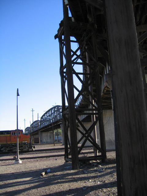
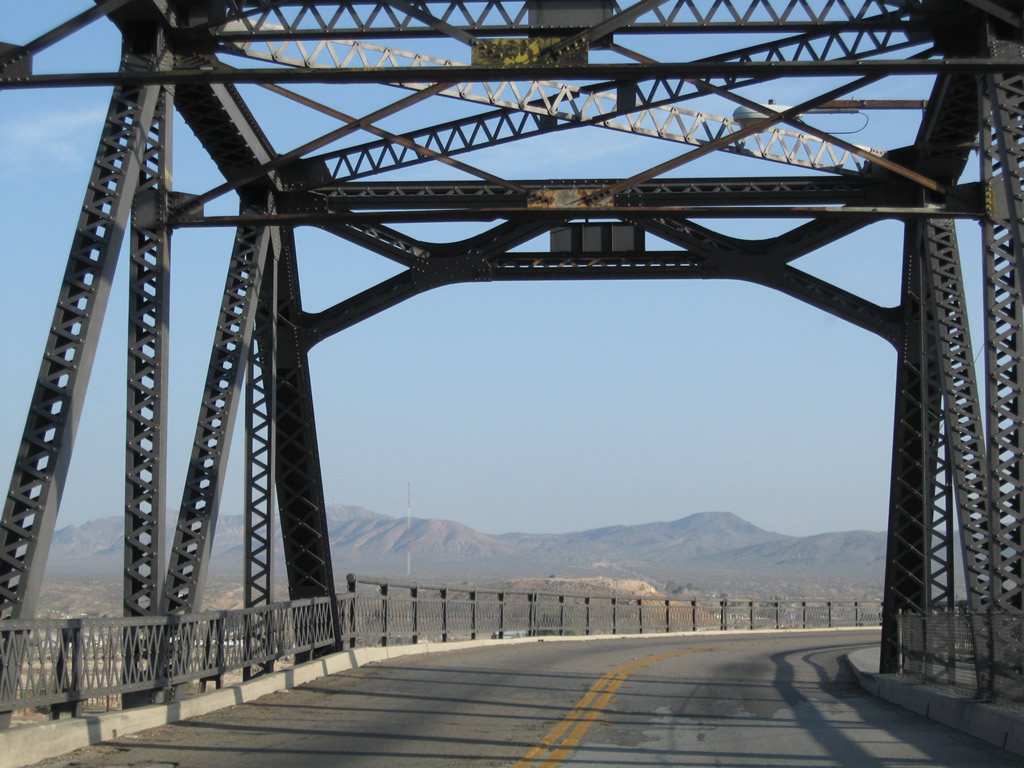
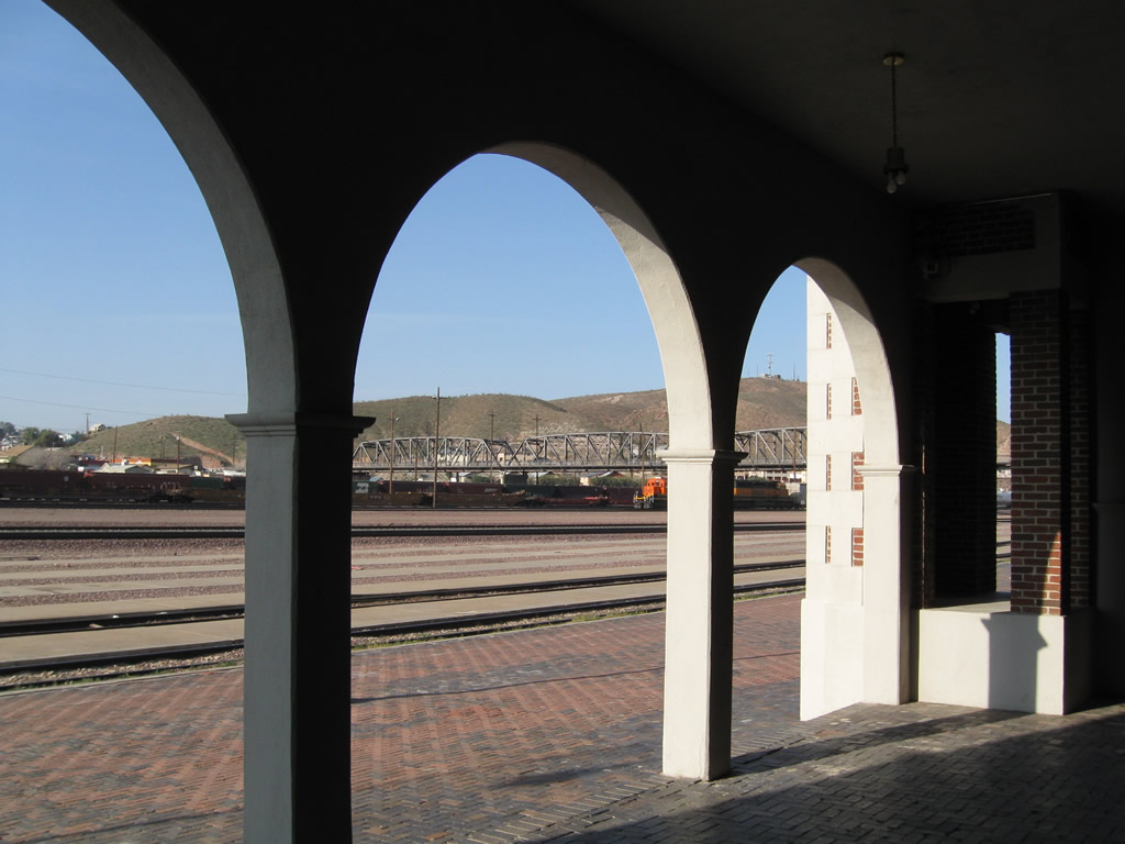
These views of the U.S. 91 Old Iron Bridge over the rail yard are taken from the grounds of the Harvey House.
03/15/09
Photo Credits:
- Andy Field: 11/11/00, 03/20/04, 11/11/08, 03/15/09
Connect with:
Page Updated Tuesday August 25, 2009.