
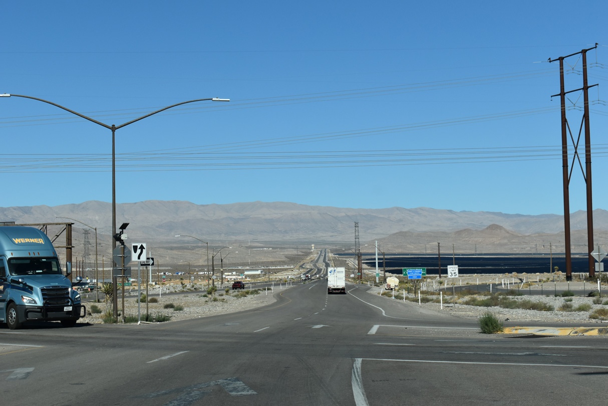
U.S. 93 North - Garnet to Ash Springs
Construction completed by late 2018 converted the Garnet Interchange into a partial DDI.
10/21/25
10/21/25
The access road to the Apex Landfill ties into the Garnet Interchange from the east.
10/21/25
10/21/25
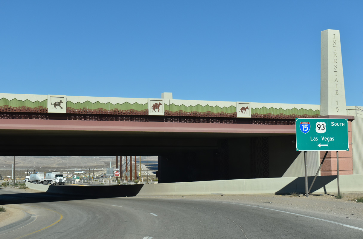
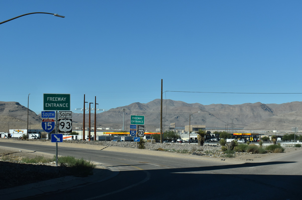
The partial DDI at U.S. 93 and I-15 replaced what was a diamond interchange.
10/21/25
10/21/25
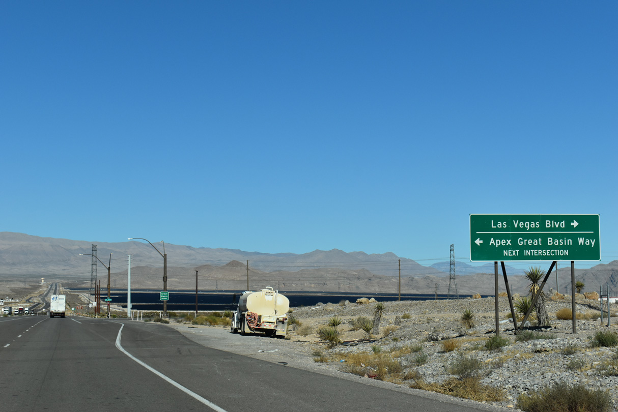
Las Vegas Boulevard (old U.S. 91/93) was realigned to intersect U.S. 93 well away from the exchange with Interstate 15.
10/21/25
10/21/25

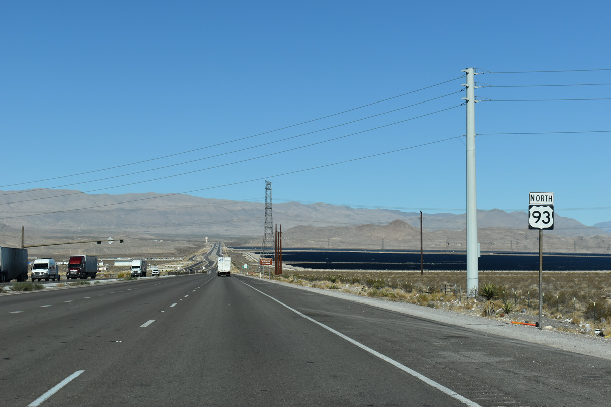
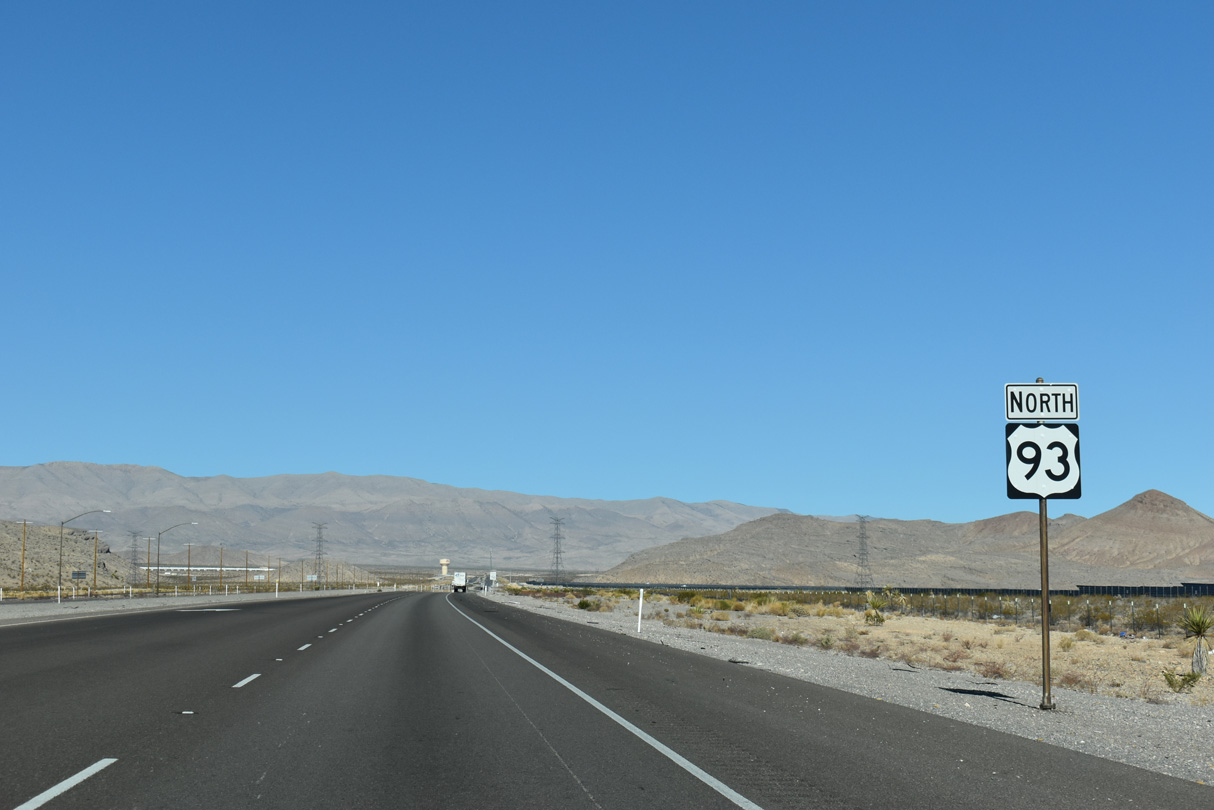
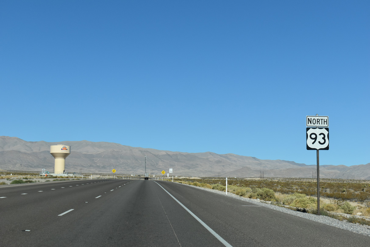
U.S. 93 is the Great Basin Highway.
10/21/25
10/21/25
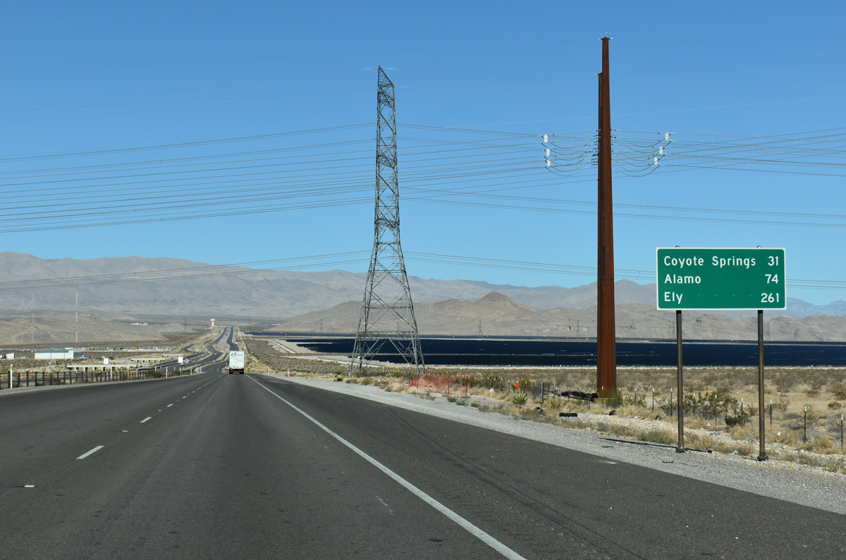
The Playa Solar and Harry Allen Solar Energy solar farms spread along the east side of U.S. 93 across Dry Lake Valley.
10/21/25
10/21/25

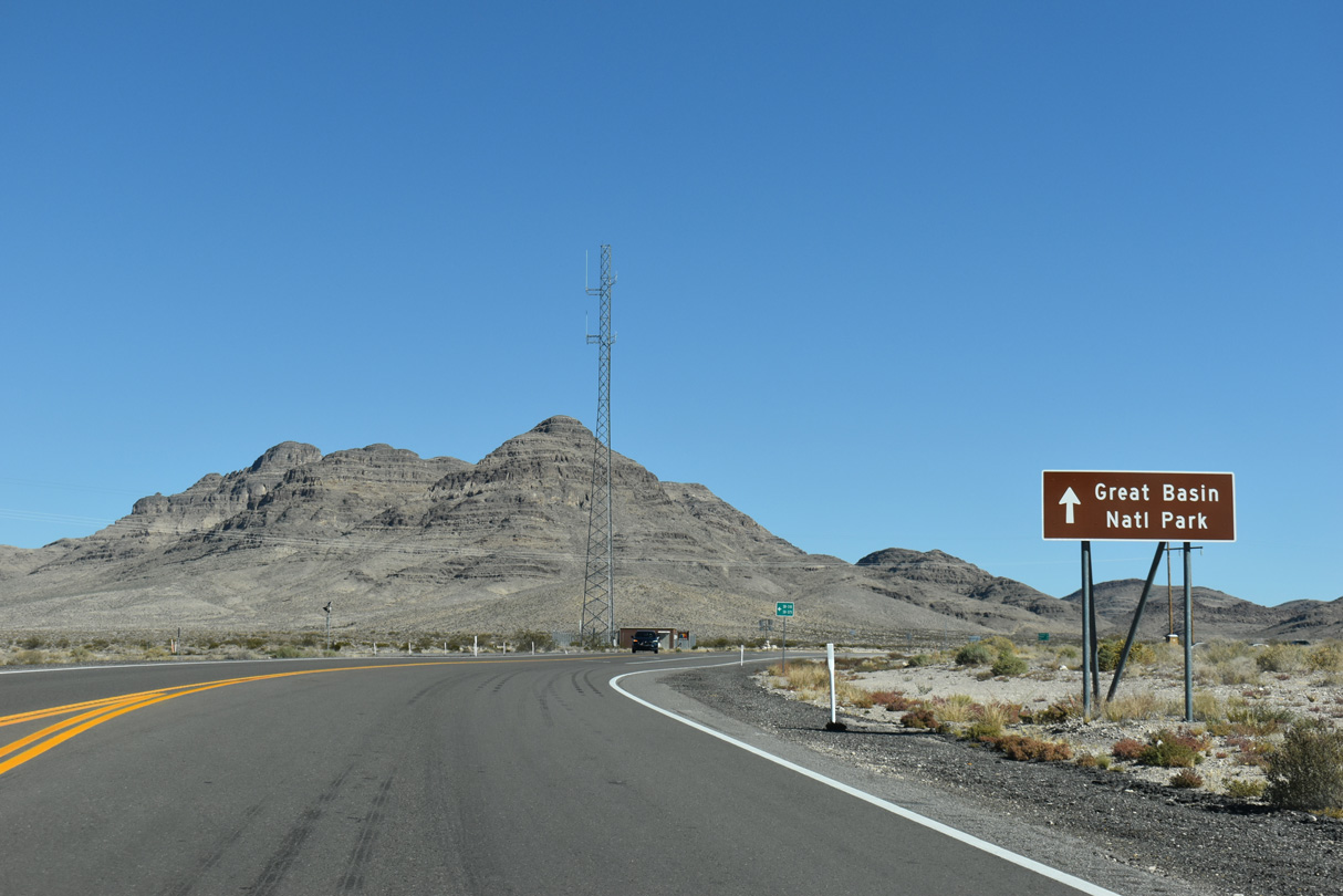
Great Basin National Park is 273 miles north of I-15 via U.S. 93 north, U.S. 6/50 east and SR 487 south to Baker.
10/21/25
10/21/25
10/21/25
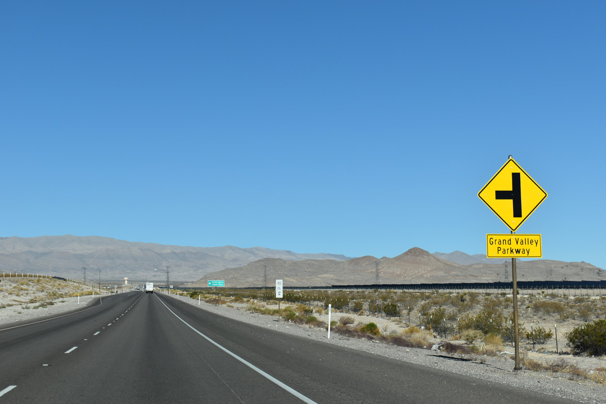
Grand Valley Parkway stems southwest from U.S. 93 at a partial grade separated intersection where the southbound roadway is elevated.
10/21/25
10/21/25
10/21/25
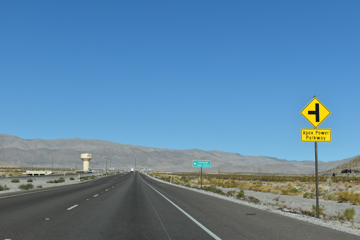
Apex Power Power Parkway spurs southward to the Silverhawk Power Station.
10/21/25
10/21/25
10/21/25
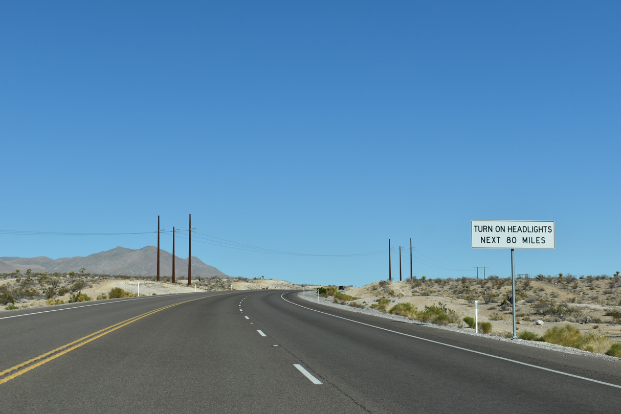
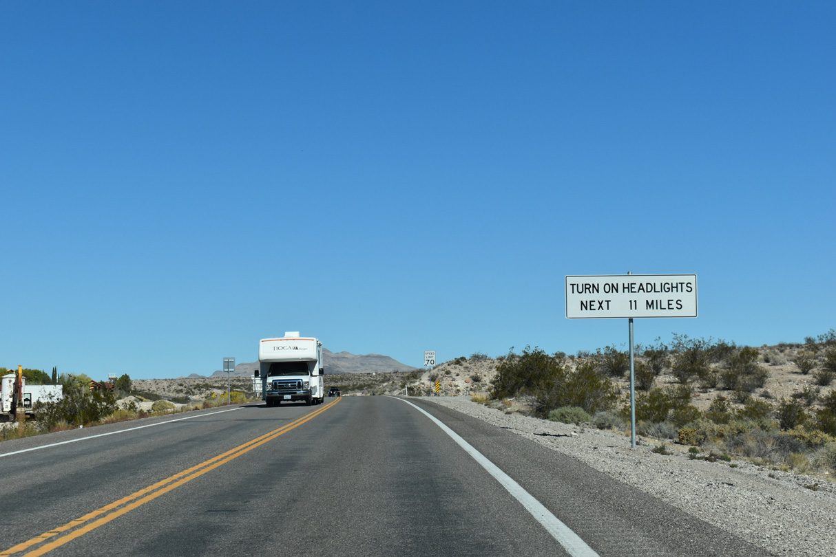
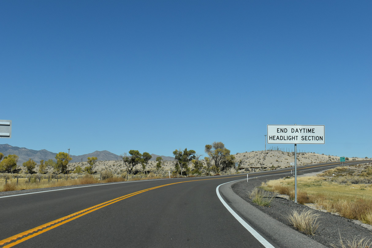
The four lane section of U.S. 93 concludes north of Apex Power Parkway. A headlight requirement takes effect over the next 80 miles of U.S. 93 north to SR 318 near Crystal Springs.
10/21/25
10/21/25
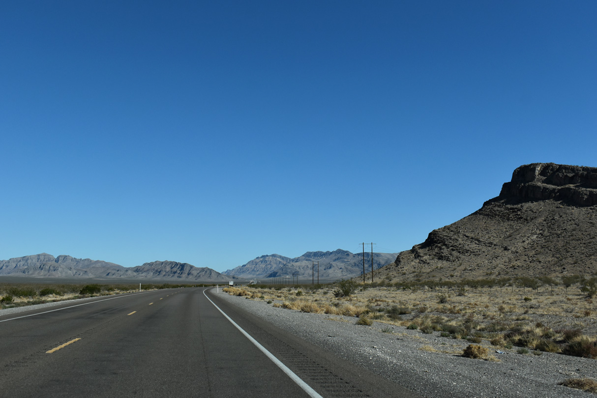
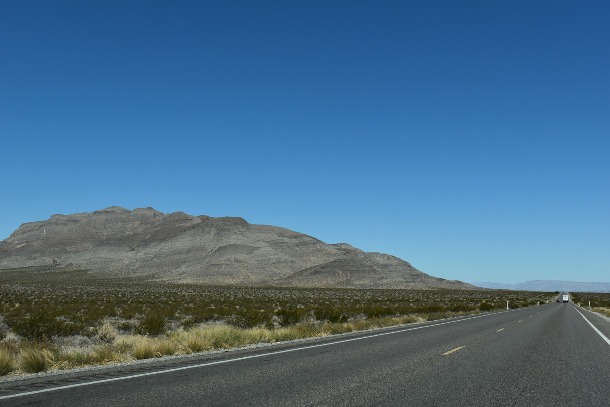
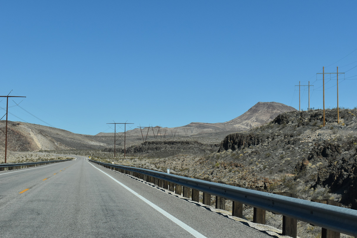
U.S. 93 curves northward into a broad valley between Las Vegas Range and Arrow Canyon Range.
10/21/25
10/21/25

10/21/25
10/21/25
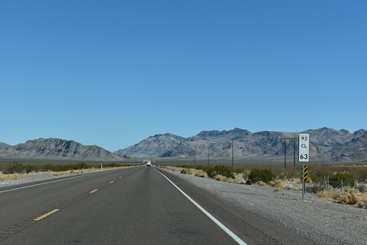
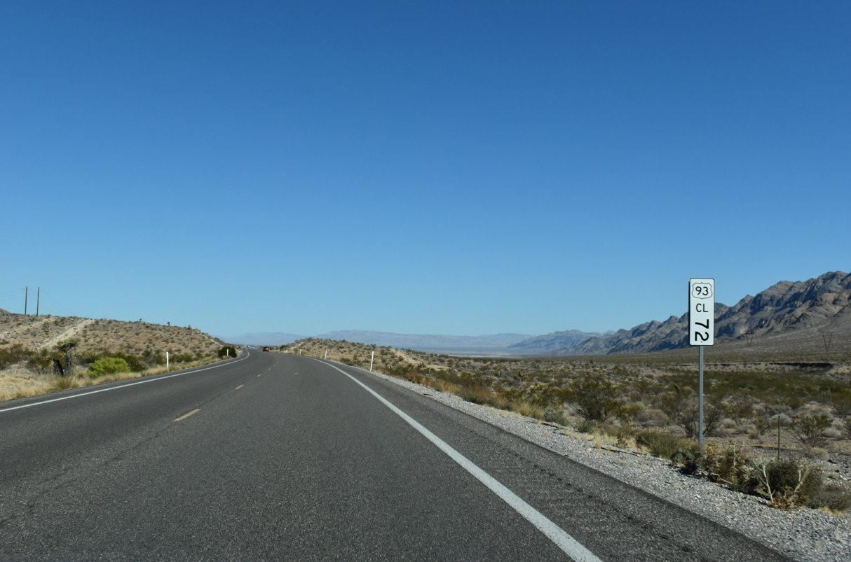
U.S. 93 traverses Hidden Valley north from Clark County milepost 63.
10/21/25
10/21/25
10/21/25

10/21/25
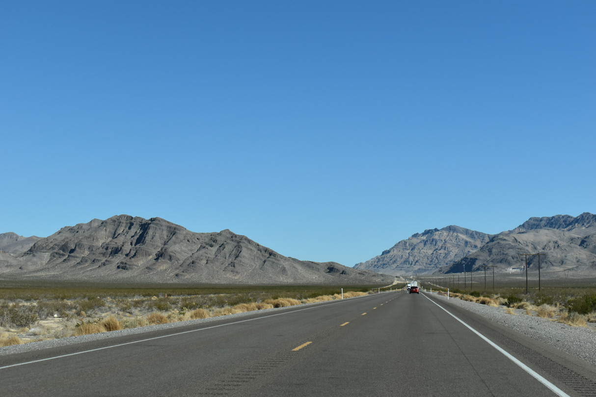
The Las Vegas Range
10/21/25
10/21/25
10/21/25
10/21/25

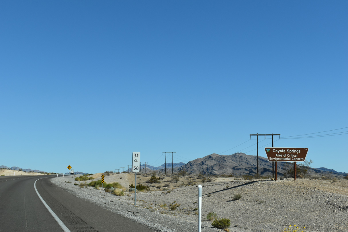
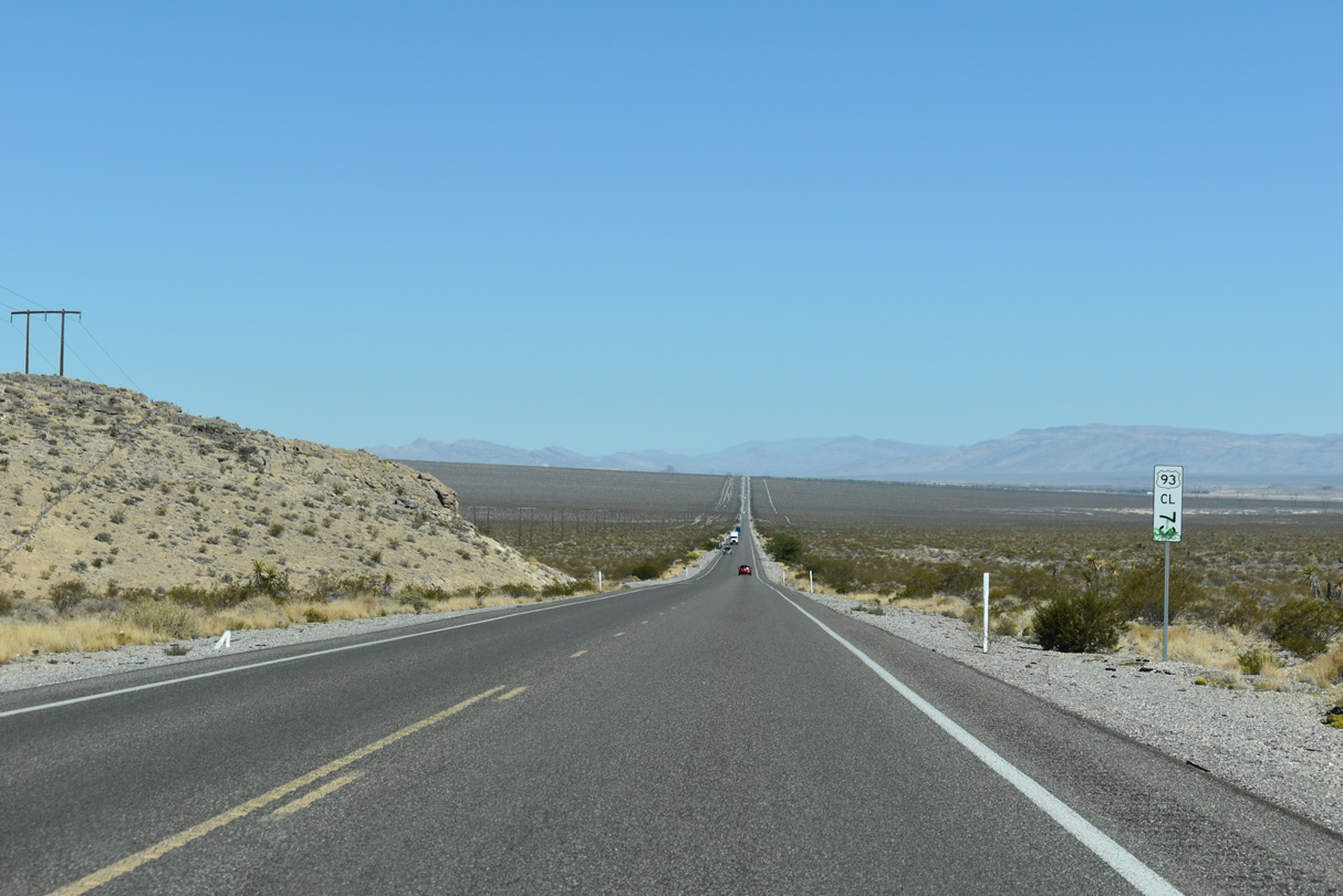
U.S. 93 advances north from Clark County milepost 83 to the Coyote Springs development.
10/21/25
10/21/25

Mormon Peak appears beyond Arrow Canyon Range far to the east.
10/21/25
10/21/25
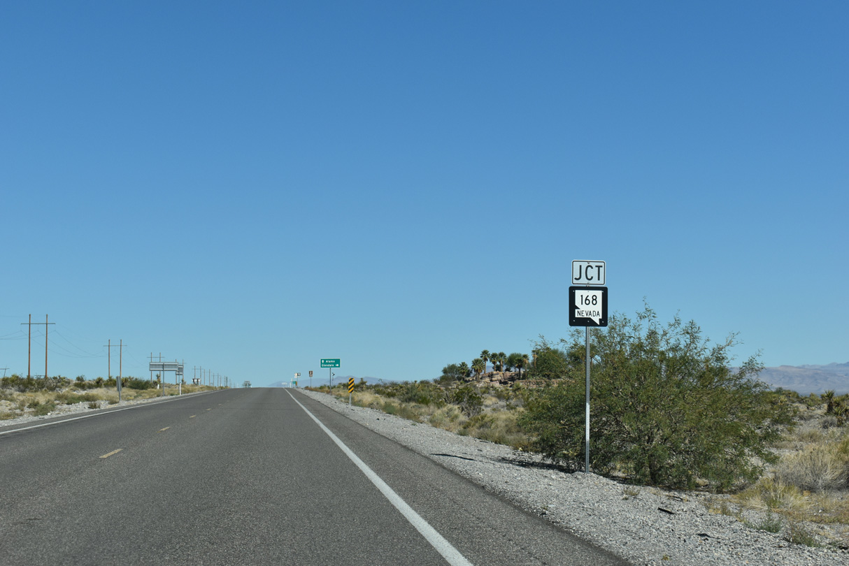
The west end of SR 168 ties into U.S. 93 by Coyote Springs.
10/21/25
10/21/25
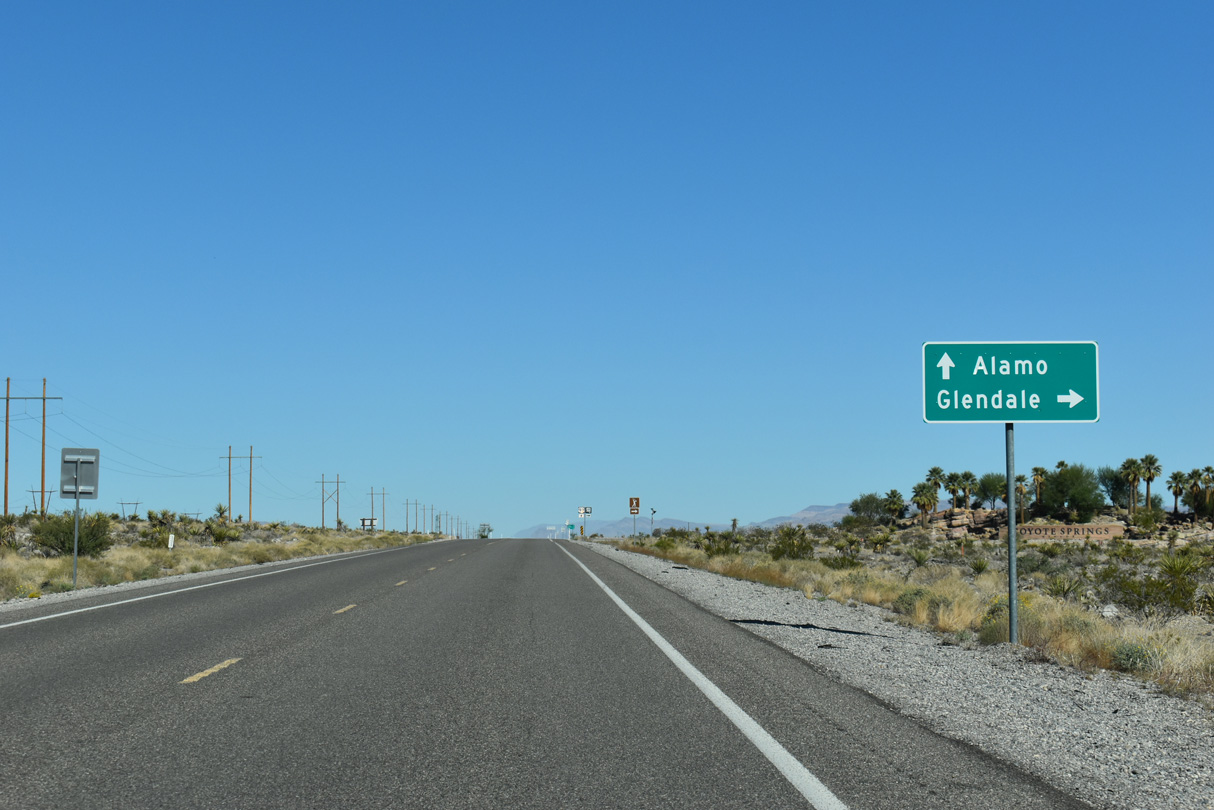
Partially following the pre-1966 alignment of U.S. 93, SR 168 travels between the Arrow Canyon Range and Meadow Valley Mountains to the unincorporated community of Glendale.
10/21/25
10/21/25
SR 168 travels 24.76 miles from U.S. 93 to Glendale Boulevard and I-15 at Exit 90.
10/21/25
10/21/25
10/21/25
10/21/25

10/21/25
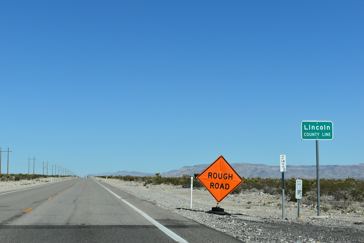
U.S. 93 (Great Basin Highway) continues north across Coyote Spring Valley into Lincoln County.
10/21/25
10/21/25
10/21/25
U.S. 93 lowers to cross Pahranagat Wash north of Lincoln County milepost 6.
10/21/25
10/21/25

Kane Springs Road heads northeast across Kane Springs Valley to the ghost town of Elgin.
10/21/25
10/21/25
10/21/25
10/21/25
U.S. 93 north at Evergreen Flat.
10/21/25
10/21/25

10/21/25
U.S. 93 curves west ahead of Maynard Lake and Lincoln County milepost 23.
10/21/25
10/21/25
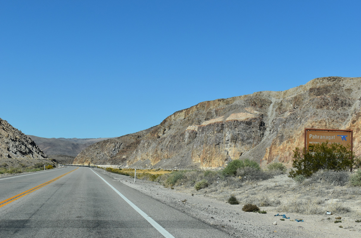
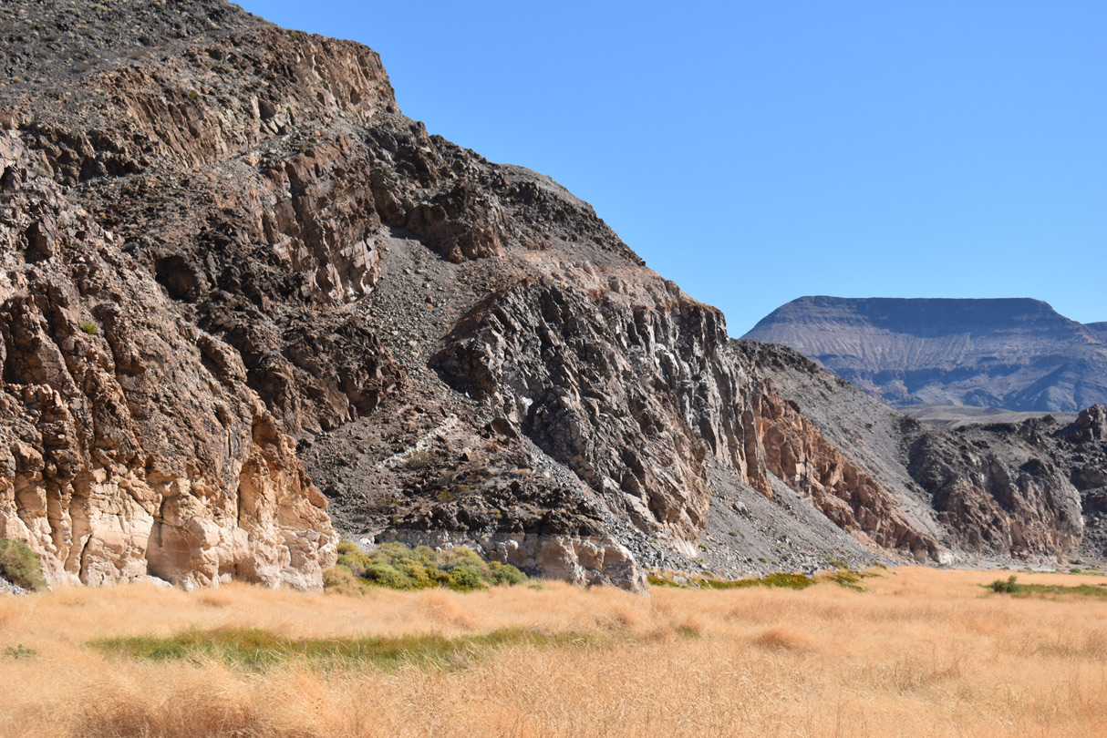
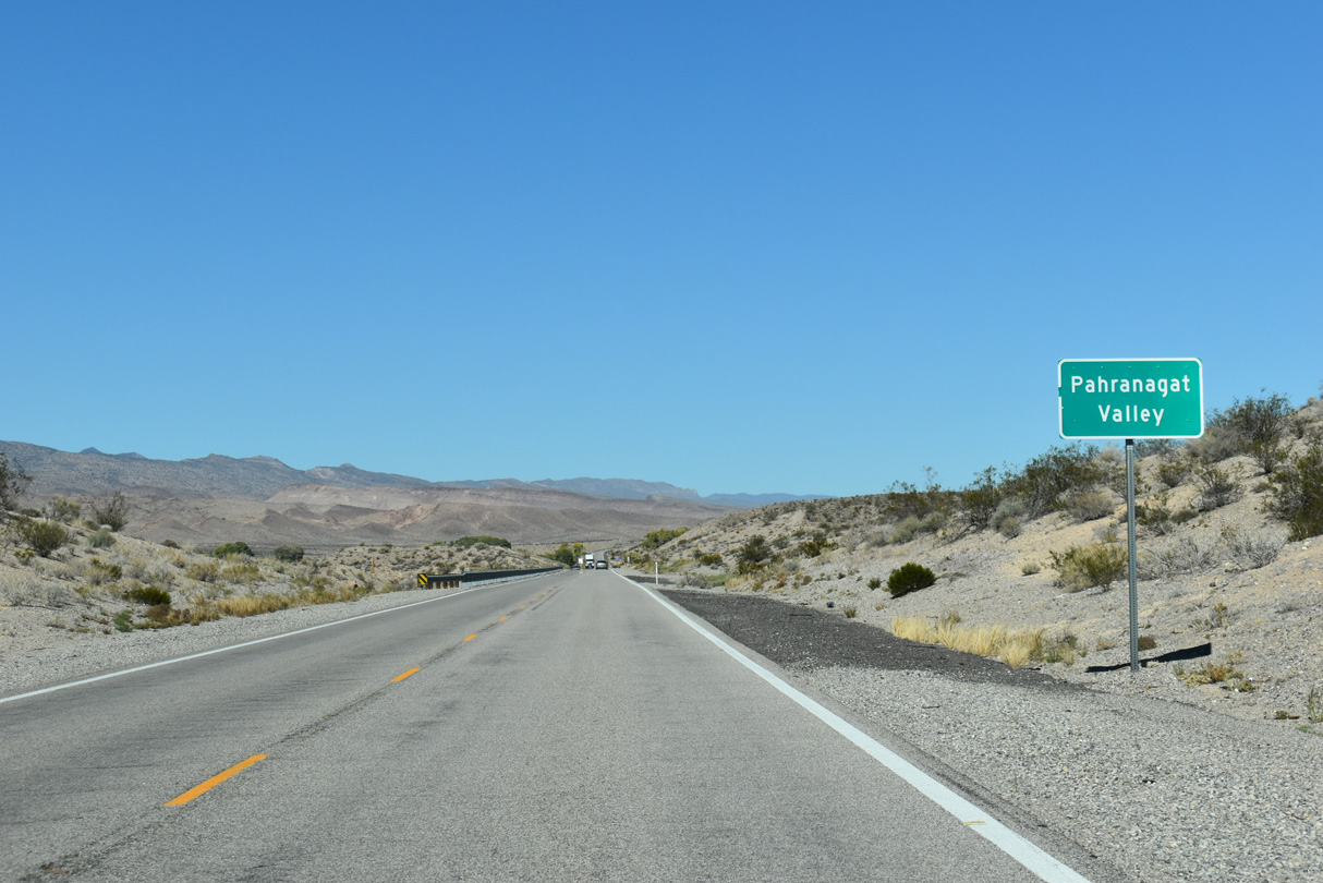
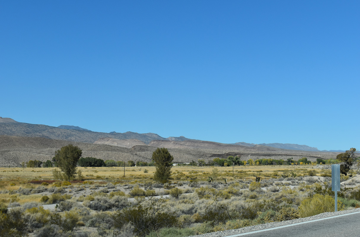
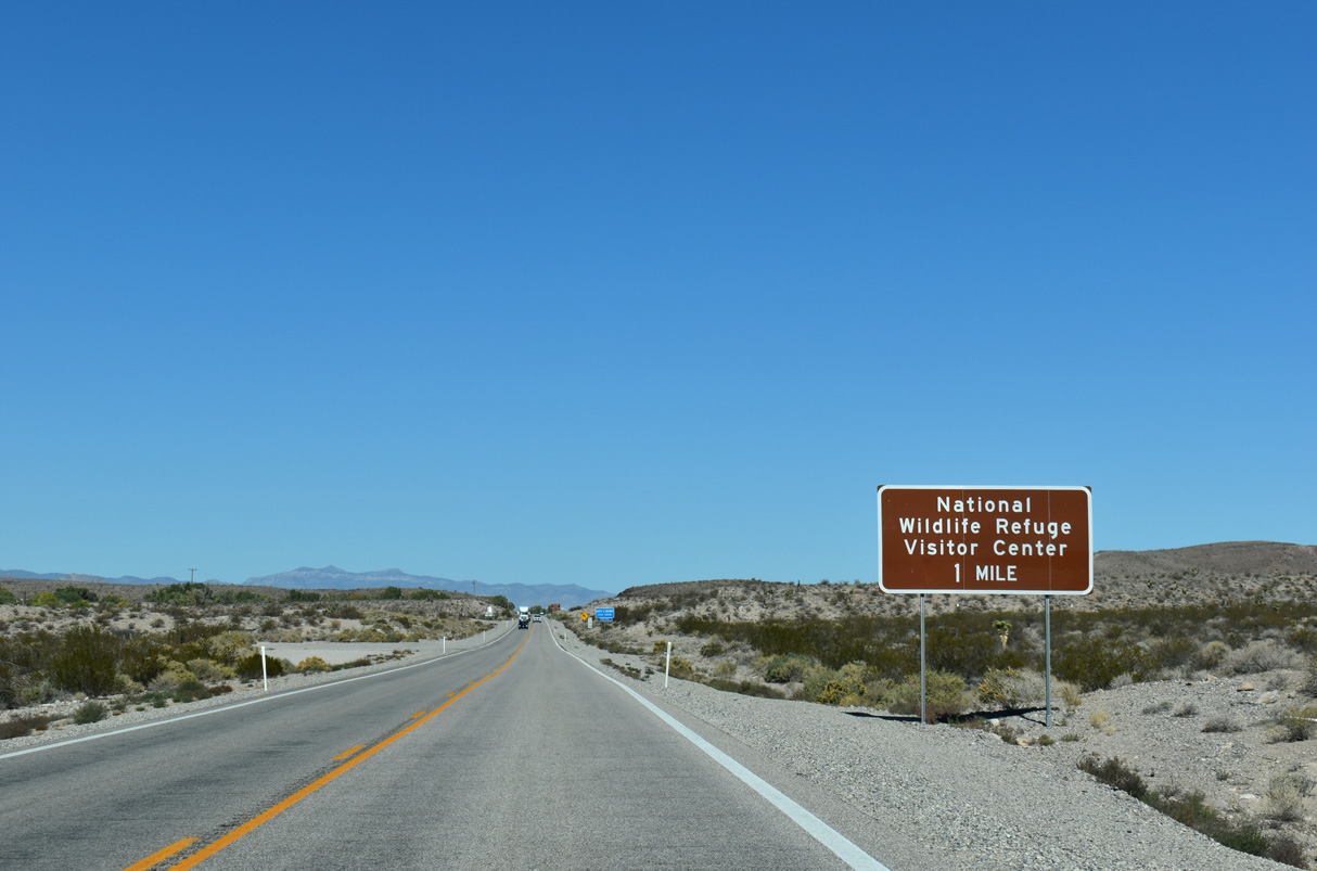
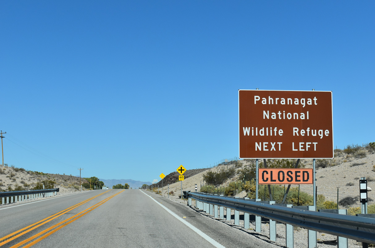
U.S. 93 runs north through Paharanagat National Wildlife Refuge from Maynard Lake into the Paharanagat Valley.
10/21/25
10/21/25
Fed by Paharangat Wash during rain, Maynard Lake lines the north side of U.S. 93 ahead of Lincoln County milepost 24.
10/21/25
10/21/25

10/21/25
10/21/25
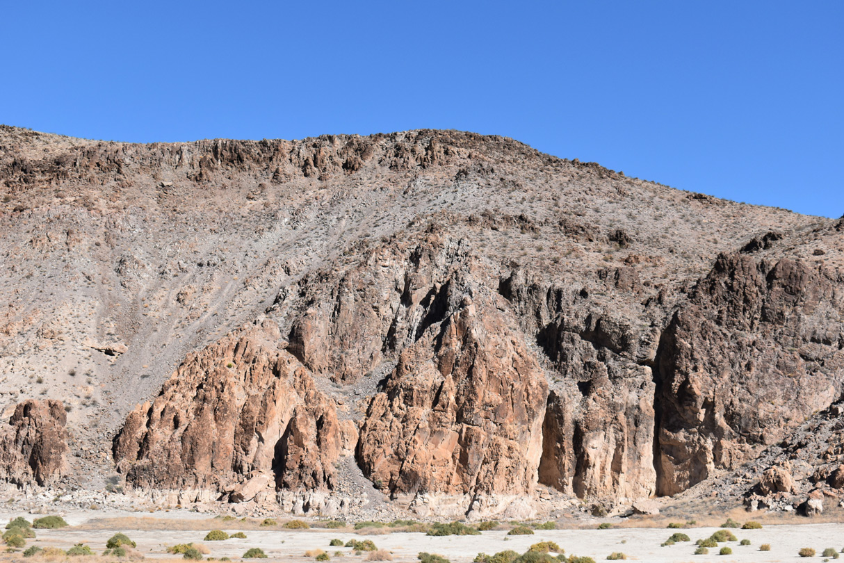
Looking back to the southeast at Maynard Lake and the Delamar Mountains.
10/21/25
10/21/25
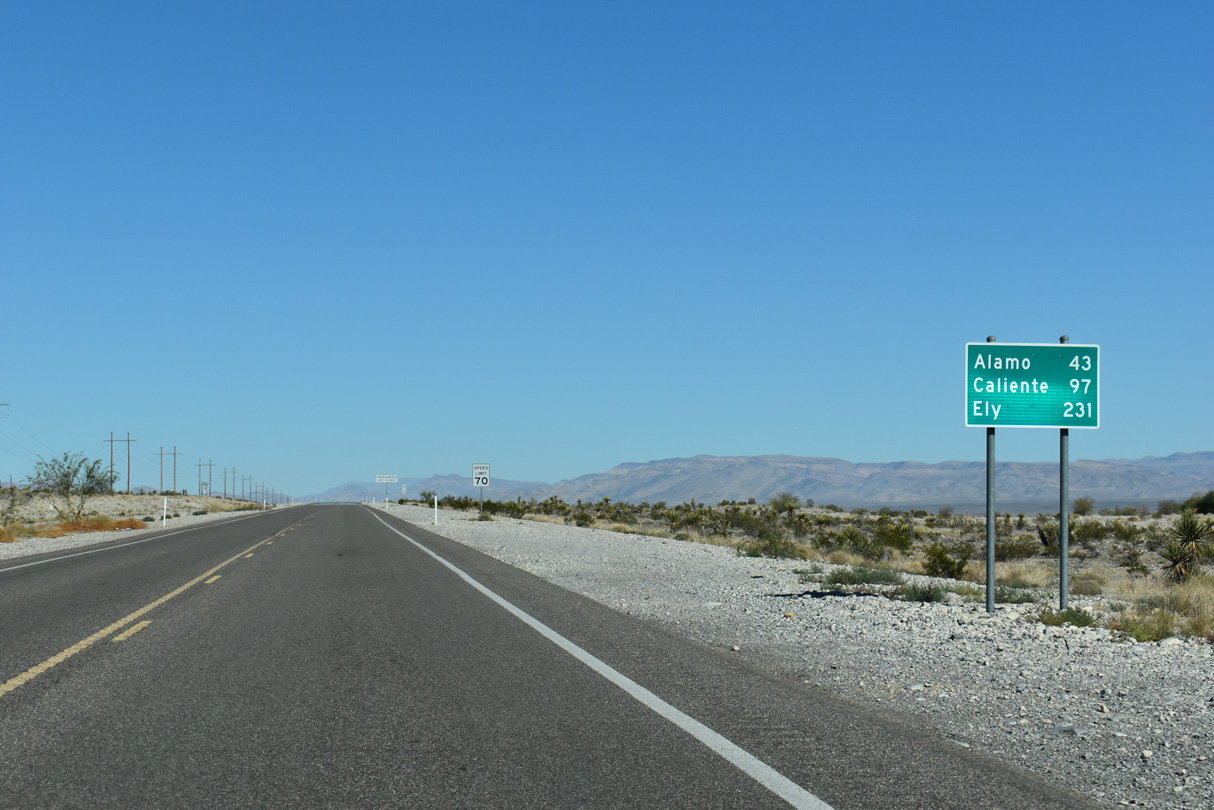
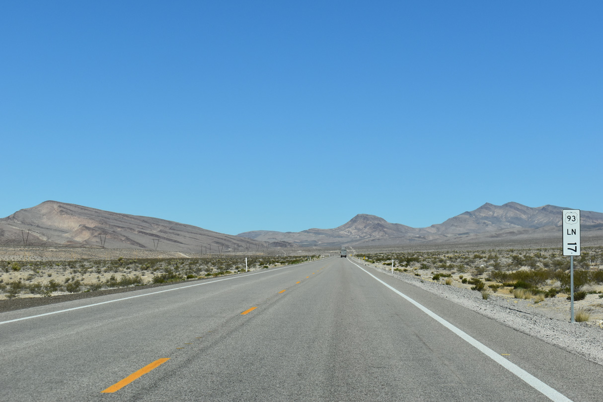
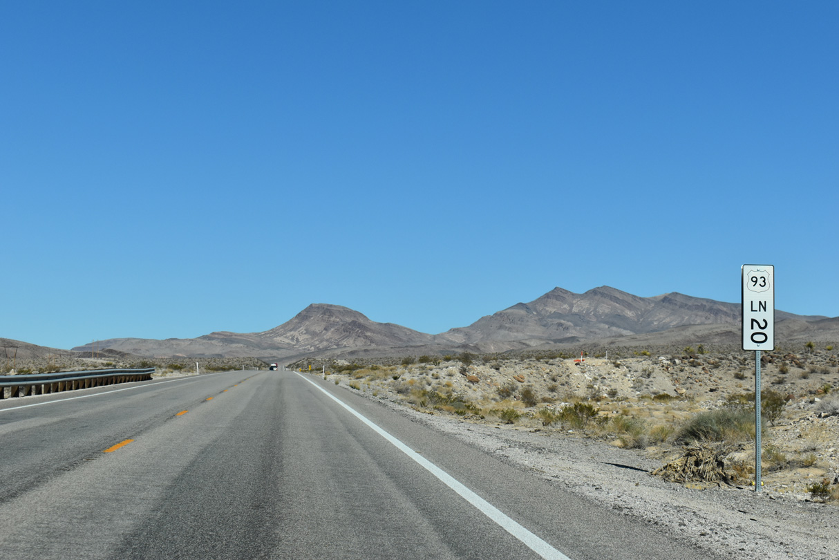
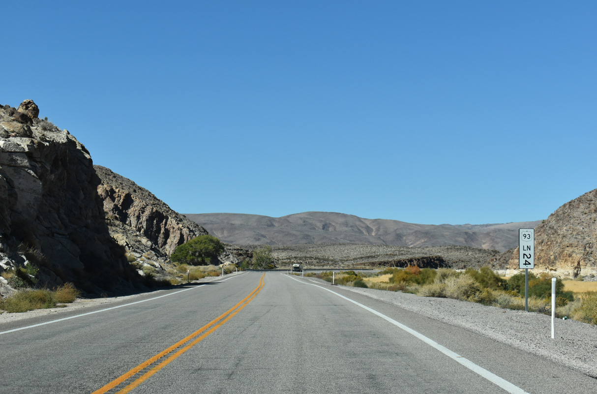
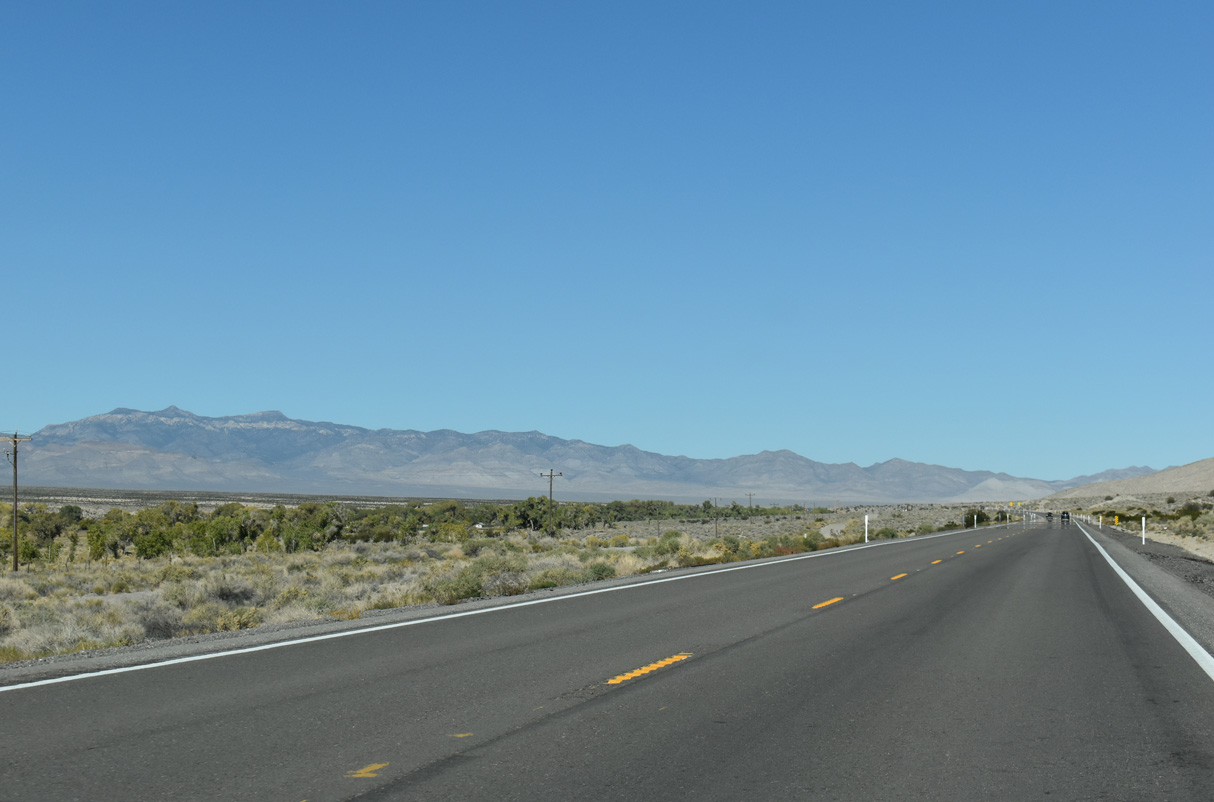
25 miles north into Lincoln County, U.S. 93 is 15 miles from the unincorporated town of Alamo.
10/21/25
10/21/25
10/21/25
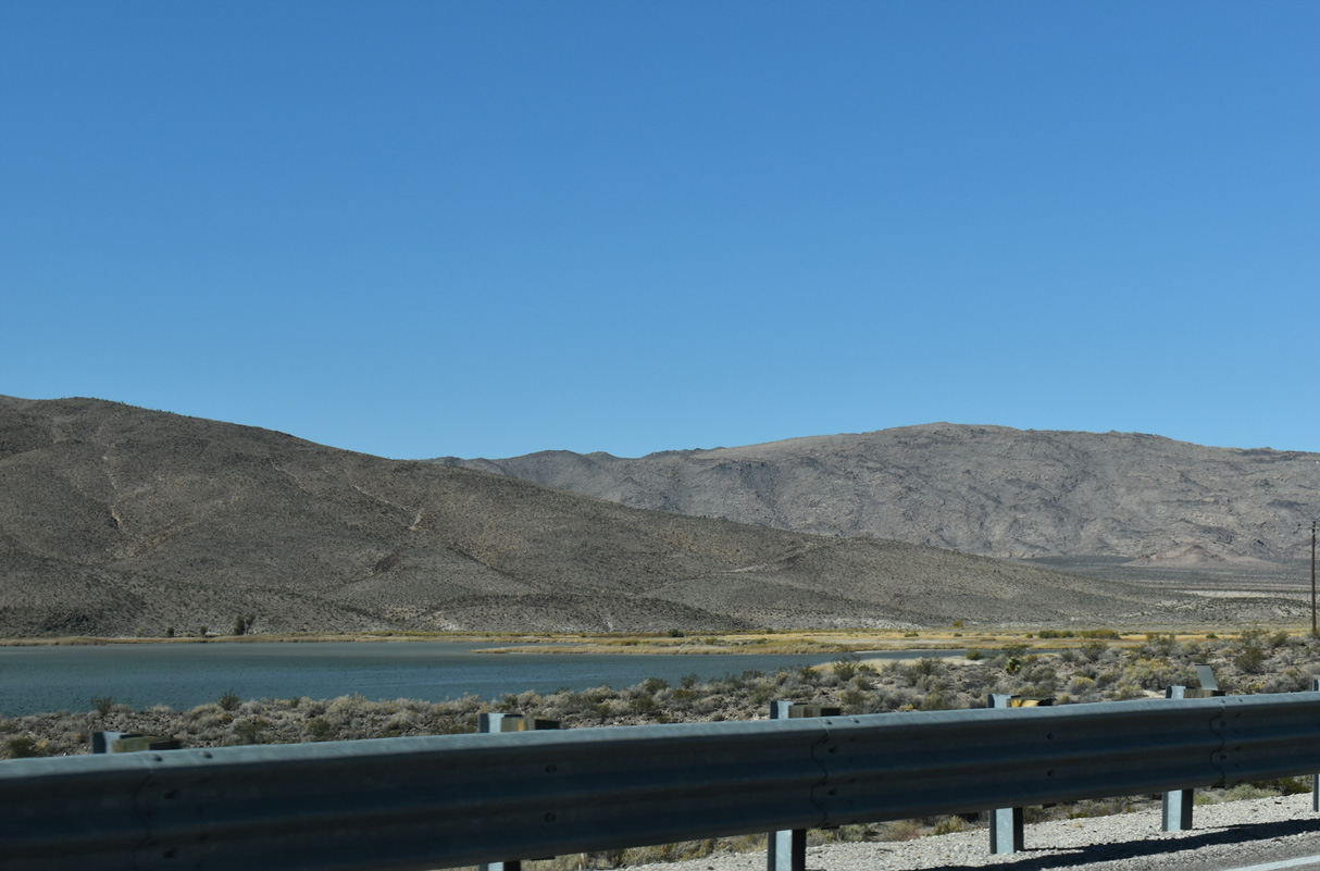
Lower Pahranagat Lake comes into view along the west side of U.S. 93.
10/21/25
10/21/25

10/21/25
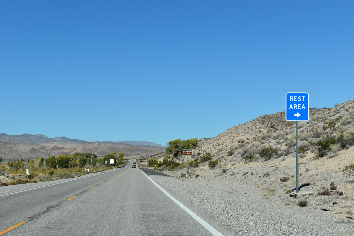
The Pahranagat Lake Rest Area is located along a section of old U.S. 93.
10/21/25
10/21/25
10/21/25
10/21/25
10/21/25
10/21/25

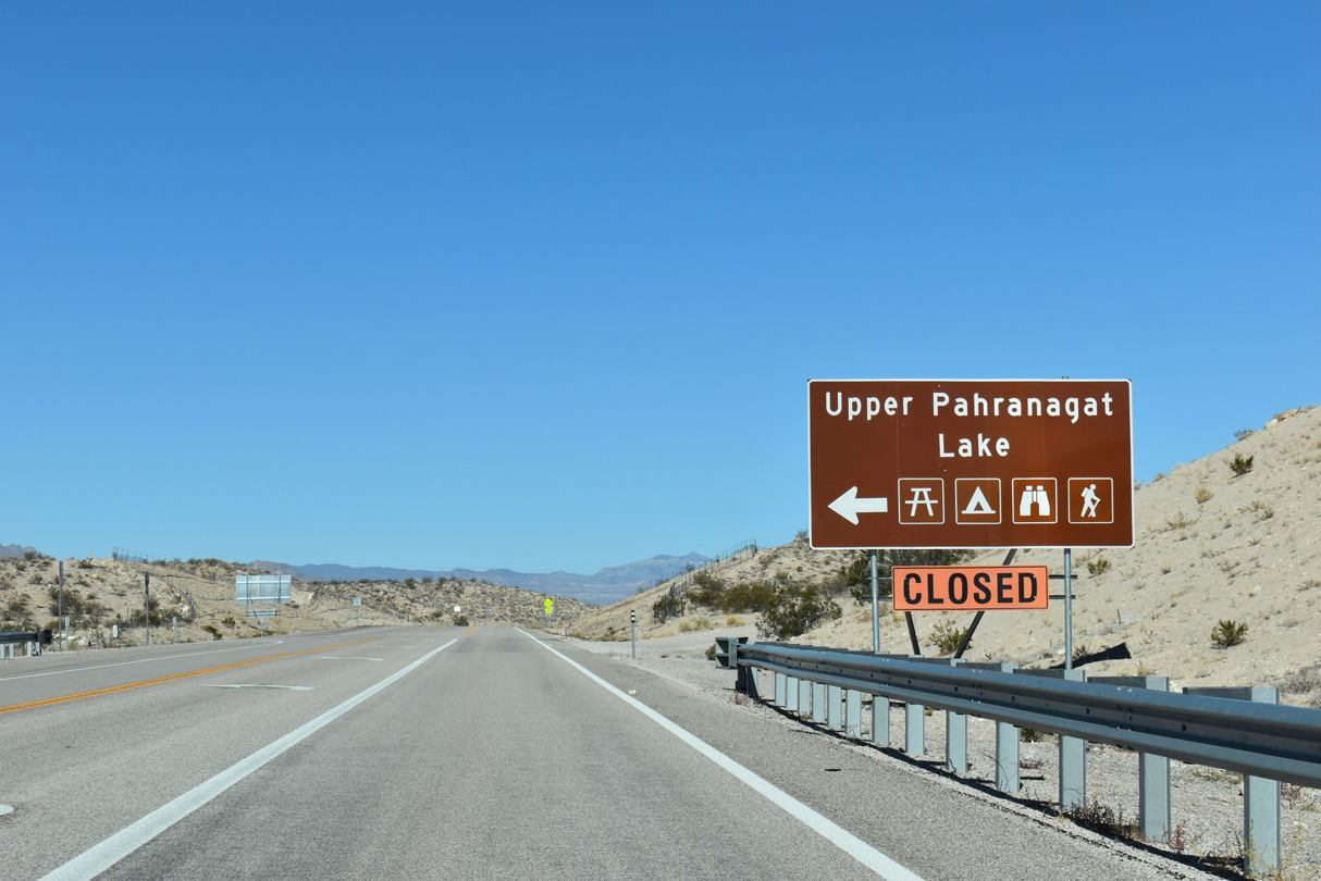
U.S. 93 makes an S-curve north along the east side of Upper Pahranagat Lake.
10/21/25
10/21/25
10/21/25
10/21/25

U.S. 93 (Great Basin Highway) north reaches Alamo beyond Lincoln County milepost 37.
10/21/25
10/21/25
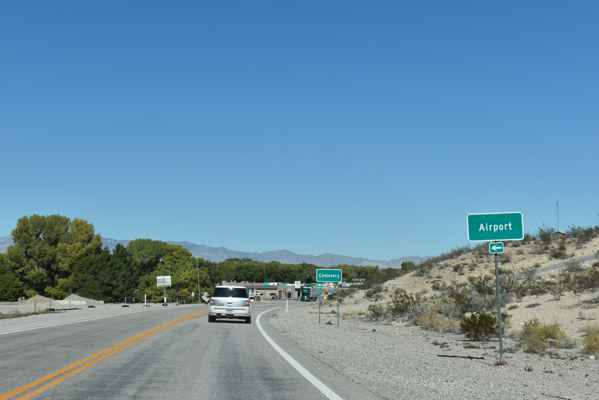
Weeping Willow Street stems west from U.S. 93 to Joshua Street Street. Alamo Landing Field is further west along Box Canyon Road.
10/21/25
10/21/25
10/21/25
Distance sign posted ahead of Richardville Road.
10/21/25
10/21/25
10/21/25
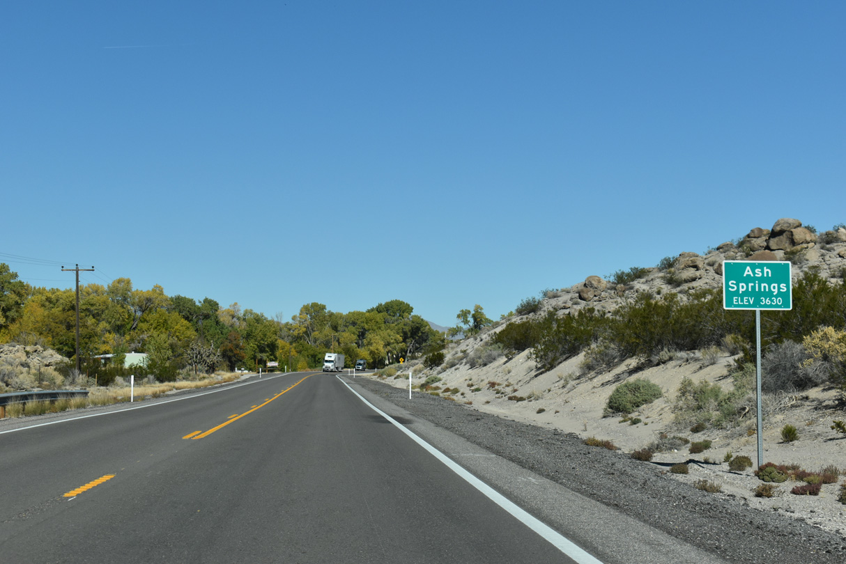
U.S. 93 north at the unincorporated community of Ash Springs.
10/21/25
10/21/25
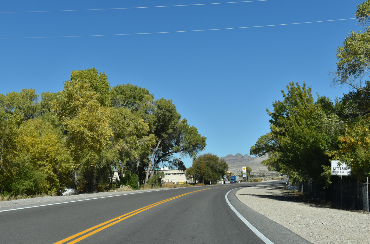
Ash Springs has limited traveler services.
10/21/25
10/21/25
10/21/25
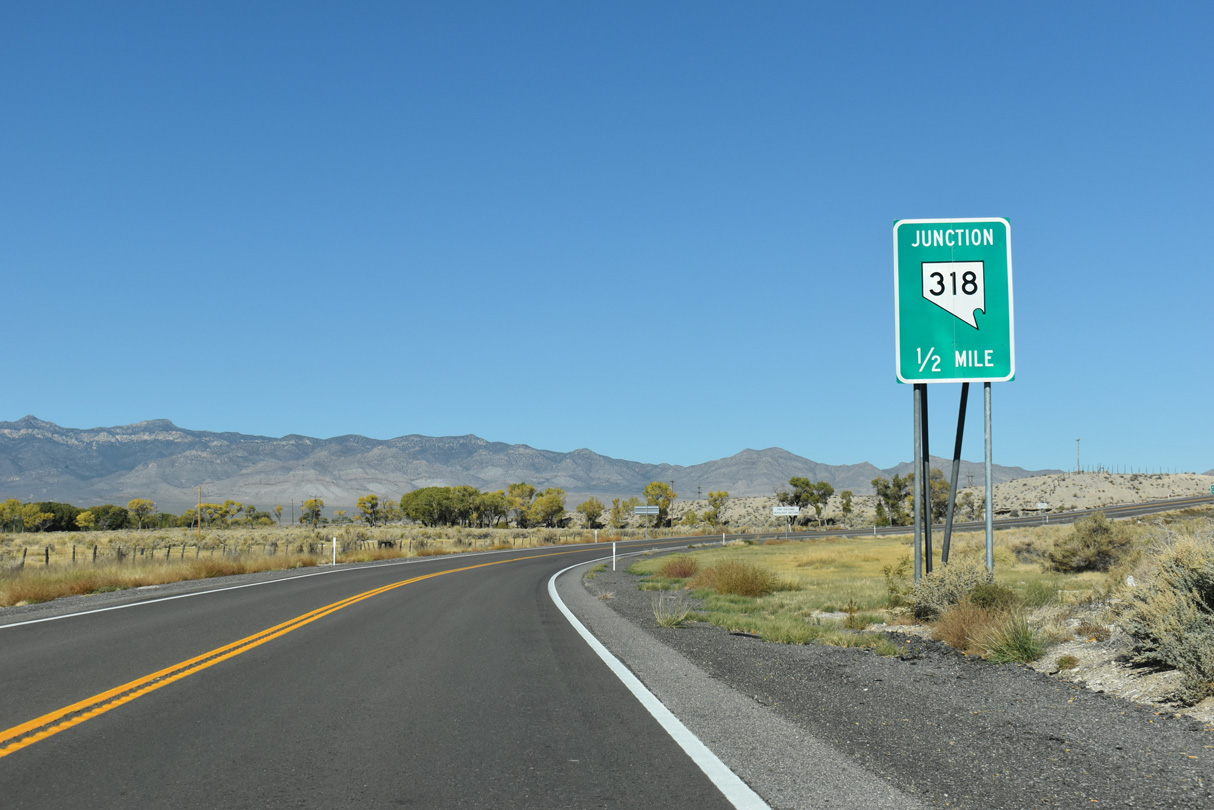
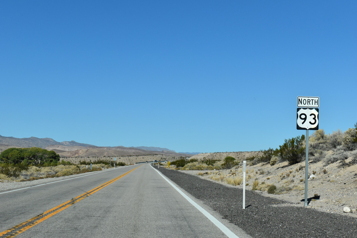
Curving east, northbound U.S. 93 meets SR 318 prior to leaving the Paharanagat Valley.
10/21/25
10/21/25
10/21/25
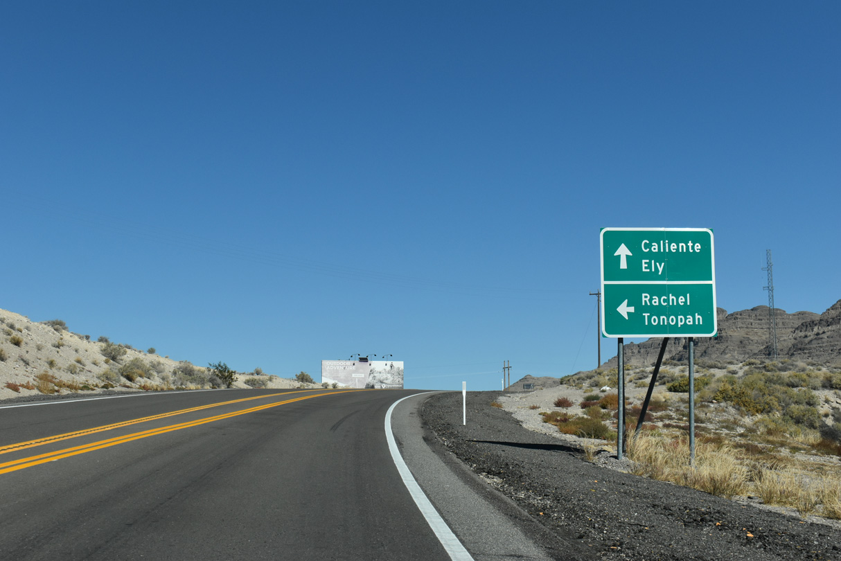
SR 318 links U.S. 93 (Great Basin Highway) with SR 375 (Extraterrestrial Highway) at Crystal Springs nearby. SR 375 travels northwest to Rachel and U.S. 6 at Warm Springs.
10/21/25
10/21/25
10/21/25

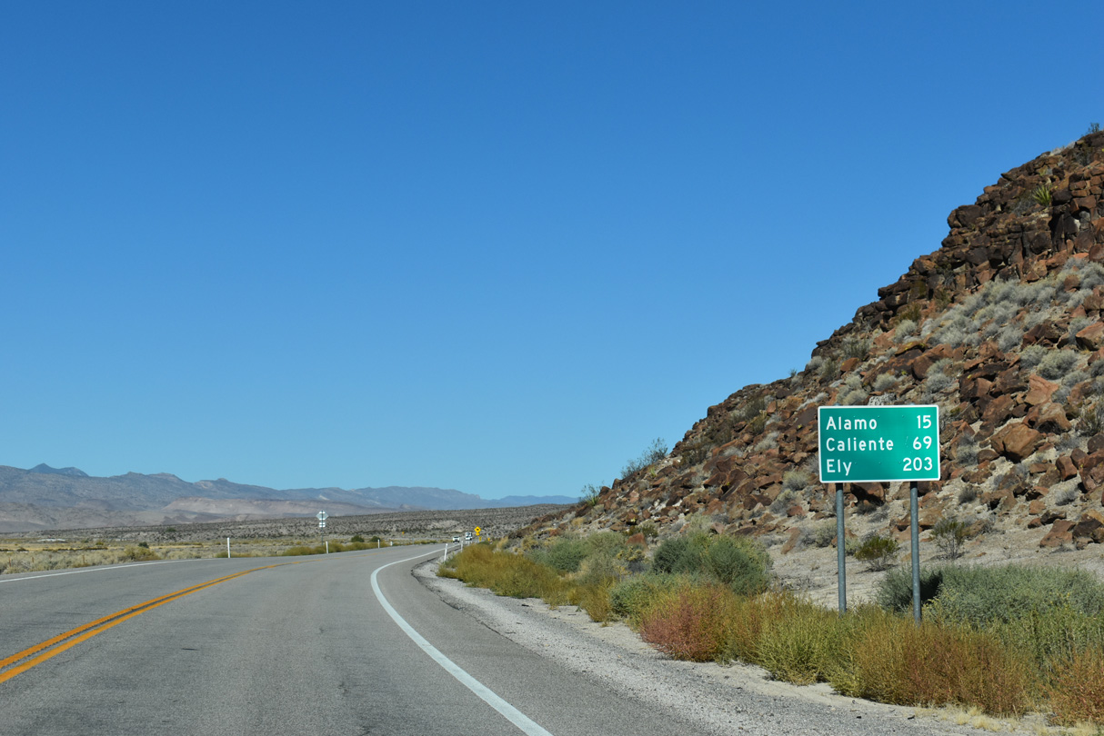
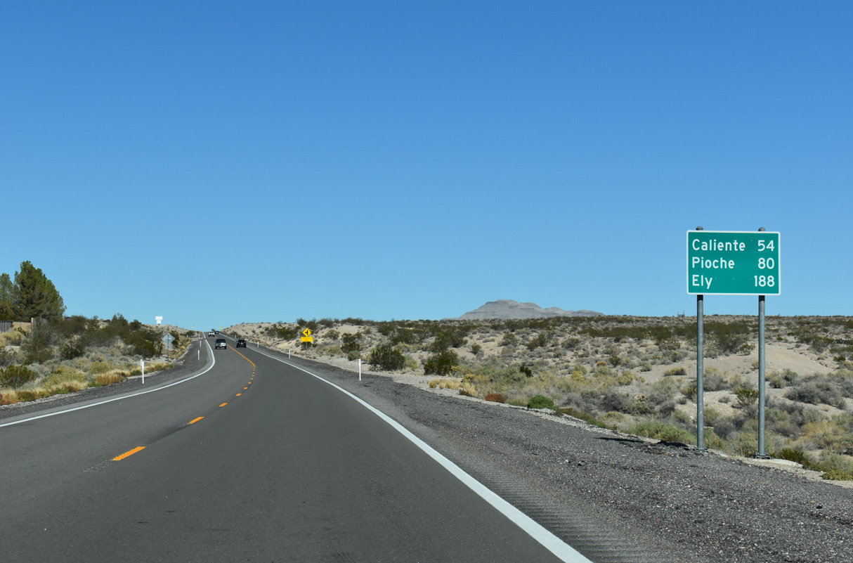
71.13 miles in length north to U.S. 6, SR 318 provides a more direct route to Ely than staying on U.S. 93 through Caliente and Pioche.
10/21/25
10/21/25
Photo Credits:
- ABRoads: 10/21/25
Connect with:
Page Updated Monday November 24, 2025.