
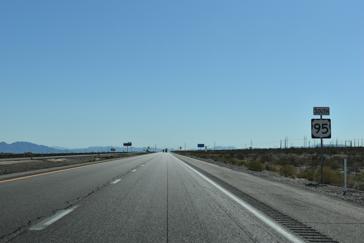
U.S. 95 South - Amargosa Valley to Las Vegas
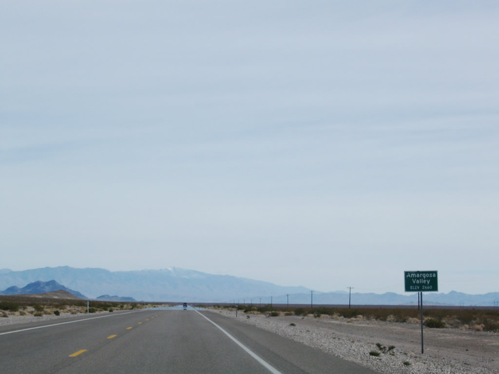
Entering the unincorporated town of Amargosa Valley along U.S. 95 south.
11/11/08
11/11/08
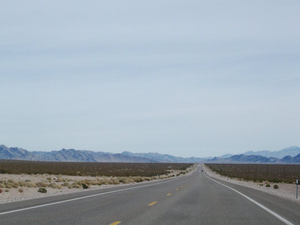
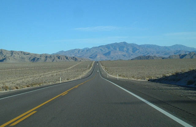
The Amargosa Desert
11/11/08
11/11/08
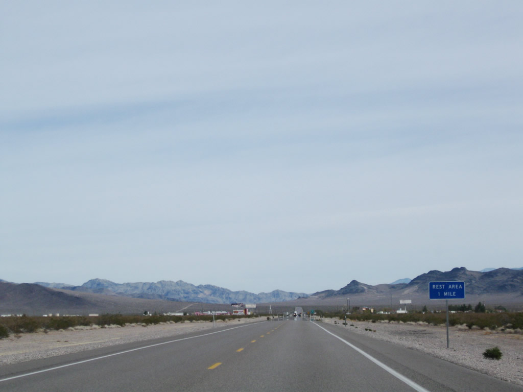
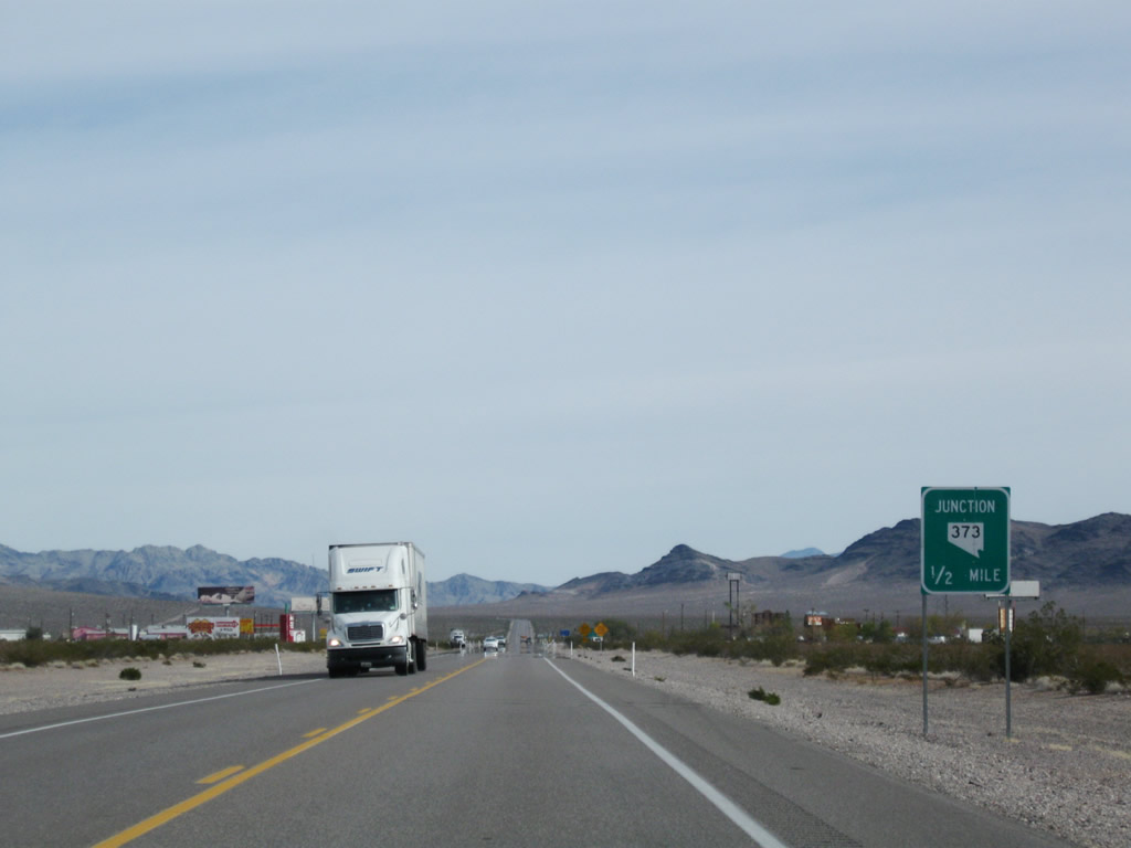
The Amargosa Valley Rest Area lies at the southeast corner of the forthcoming intersection joining U.S. 95 with SR 373 south.
11/11/08
11/11/08
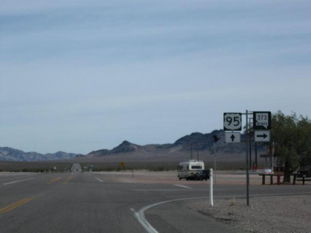
SR 373 travels 16.30 miles south from U.S. 95 at Amargosa Valley to the California state line.
11/11/08
11/11/08

The Amargosa Valley Rest Area is accessible from both U.S. 95 and SR 373.
01/20/02
01/20/02
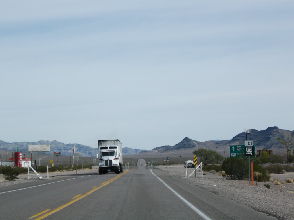
SR 373 traverses the Amargosa Desert south to the Golden State along a sparsely populated route.
11/11/08
11/11/08
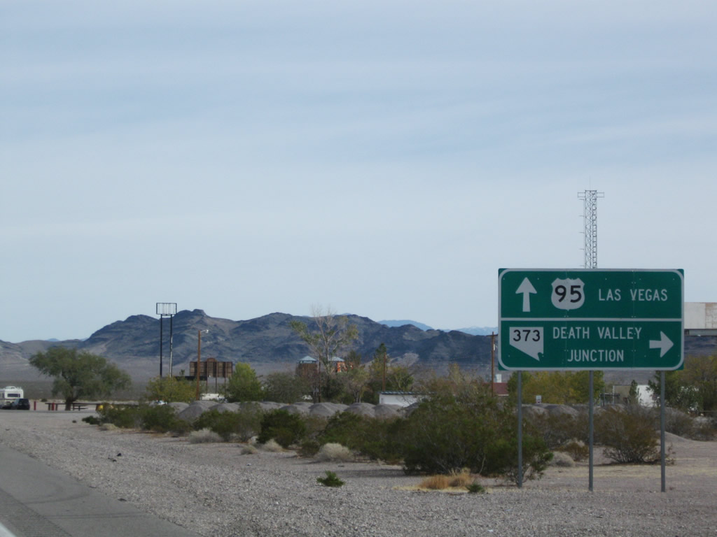
California State Route 127 extends south from Nevada State Route 373 to Death Valley Junction and Interstate 15 at Baker.
11/11/08
11/11/08
Death Valley National Park is west of Death Valley Junction via SR 373 and California State Route 127.
11/11/08
11/11/08
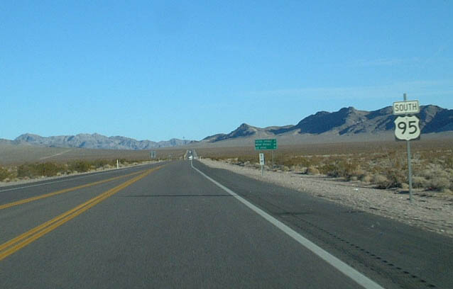
East from Amargosa Valley, U.S. 95 travels south of the Nevada National Security Site to Indian Springs.
01/20/02
01/20/02
U.S. 95 passes just south of the Specter Range.
01/20/02
01/20/02
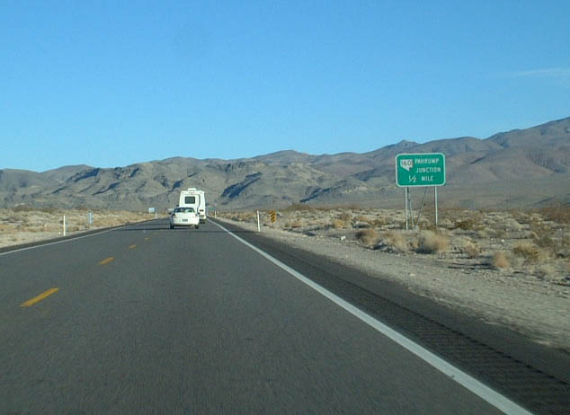
SR 160 constitutes an 80.30 mile long loop south from U.S. 95 to Pahrump, the most populous community in Nye County, and east to Enterprise in the Las Vegas area.
01/20/02
01/20/02
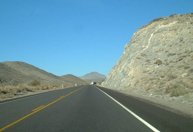
Curving northward, U.S. 95 passes the Point of Rocks between the Spring Mountains and Specter Range.
01/20/02
01/20/02

A switching house for telecommunications appears along the north side of U.S. 95 in the valley separating the Specter Range and Spring Mountains.
01/20/02
01/20/02
Turning eastward from the Spring Mountains, U.S. 95 proceeds across Mercury Valley.
01/20/02
01/20/02
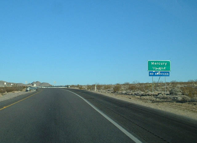
U.S. 95 expands to a four lane, divided highway ahead of the interchange for Mercury.
01/20/02
01/20/02
This is a military access exit for restricted areas of the Nevada National Security Site. Tests of the atomic bomb were conducted in this stark desert area and the Yucca Mountain Nuclear Waste Repository is located in this region.
01/20/02
01/20/02

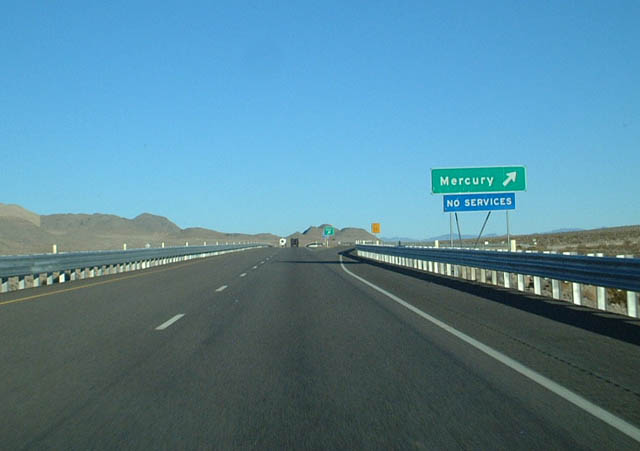
U.S. 95 continues along an expressway east to Indian Springs and south into the Las Vegas Valley.
01/20/02
01/20/02

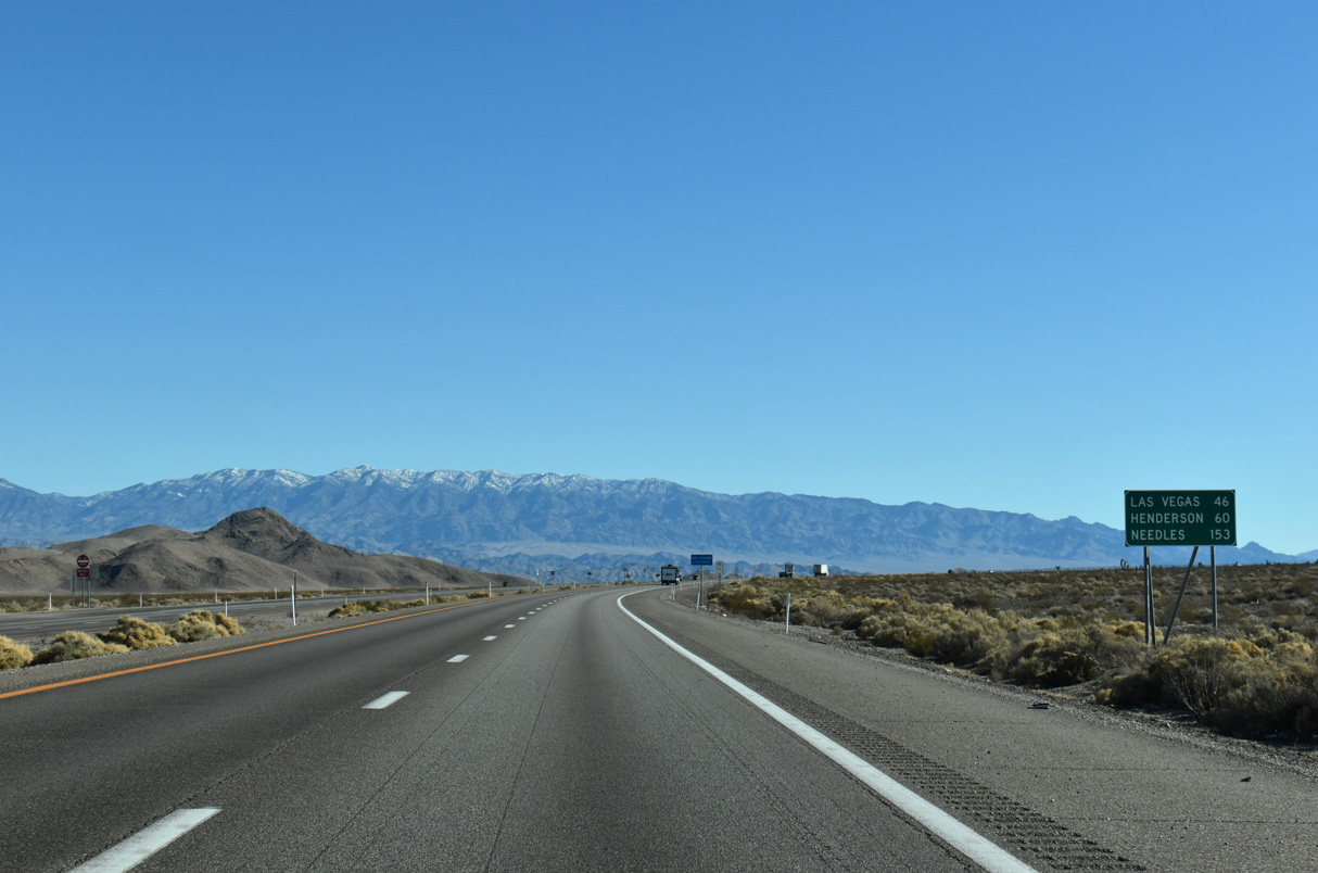
Las Vegas is 62 miles to the southeast of Mercury via U.S. 95 and Interstate 11.
01/20/02
01/20/02
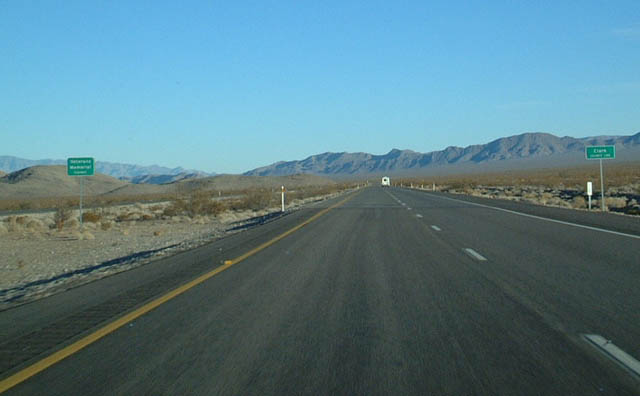
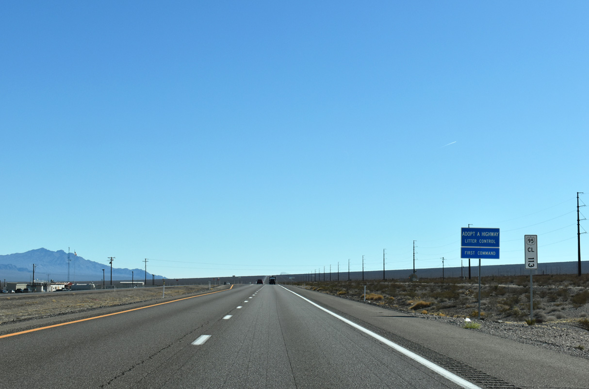
U.S. 95 leaves Nye County and enters Clark County ahead of the Indian Springs Valley.
01/20/02
01/20/02
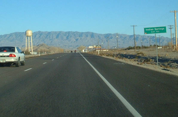
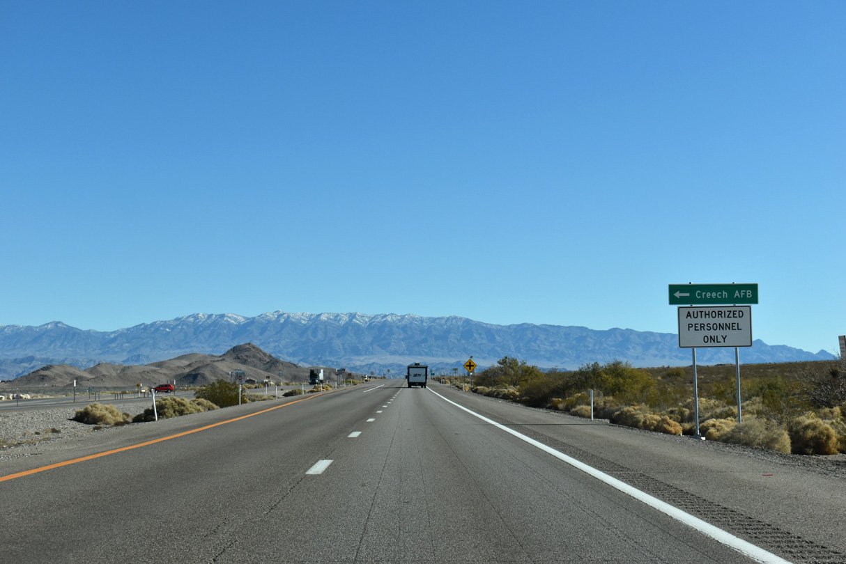
U.S. 95 south continues east into the unincorporated community of Indian Springs. Located adjacent to Creech Air Force Base, the town offers some motorist services.
01/20/02
01/20/02

11/24/25
11/24/25
11/24/25
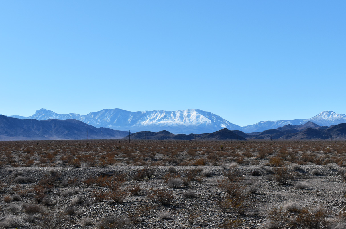
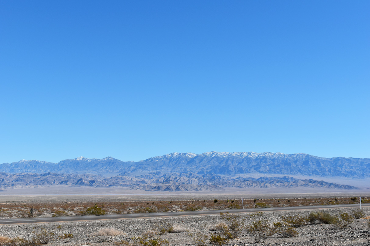
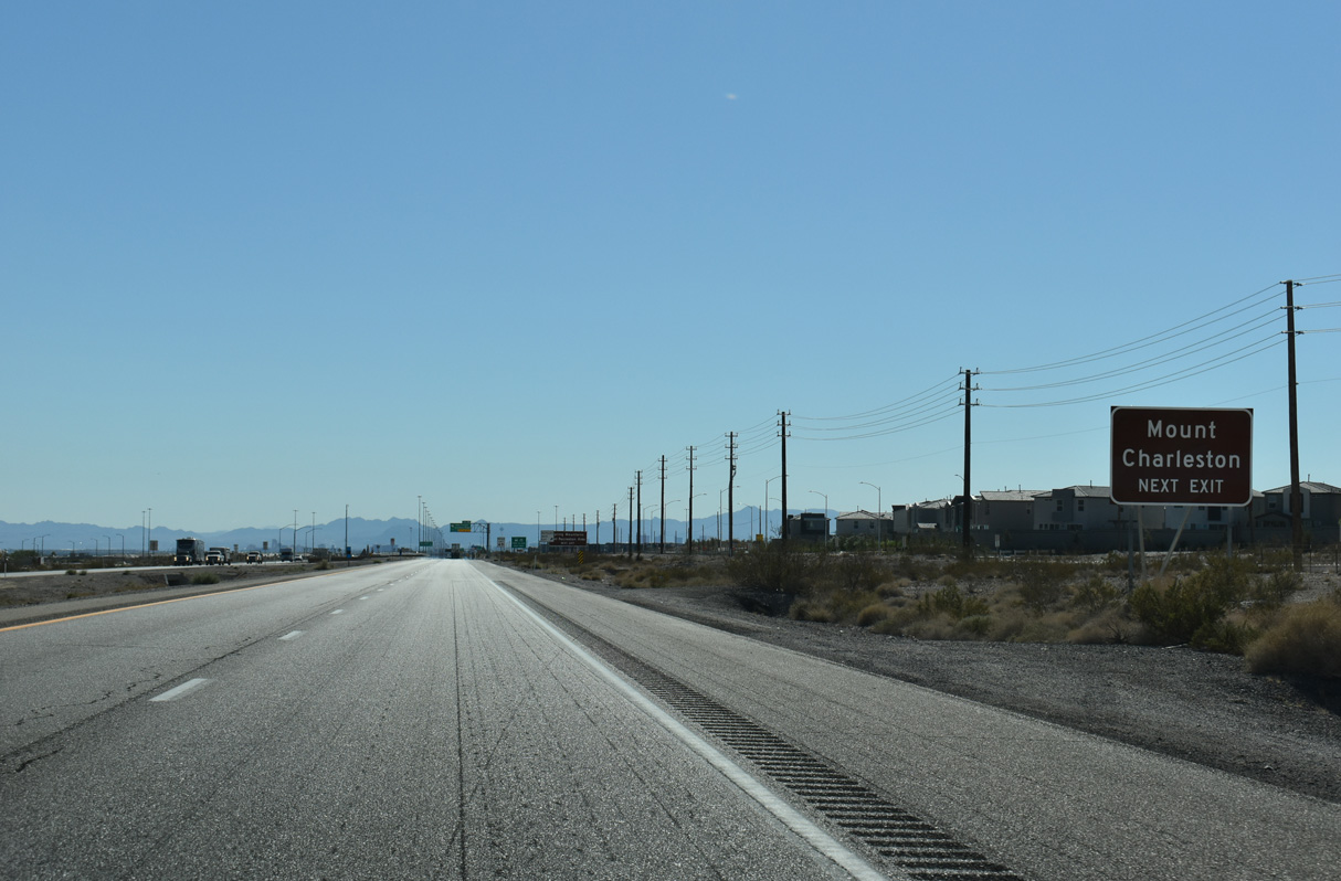
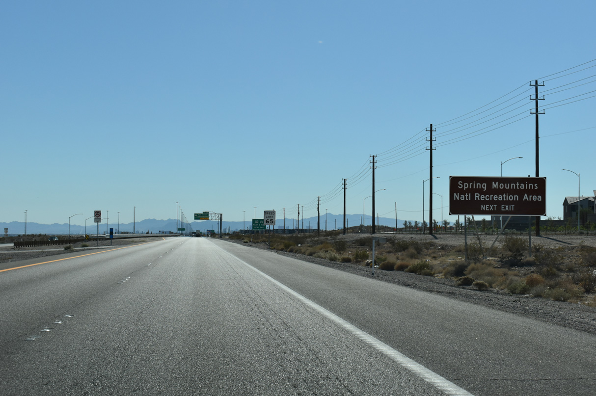
The Spring Mountain range, which includes Charleston Peak, rises to the southwest of U.S. 95.
11/24/25
11/24/25
11/24/25
11/24/25
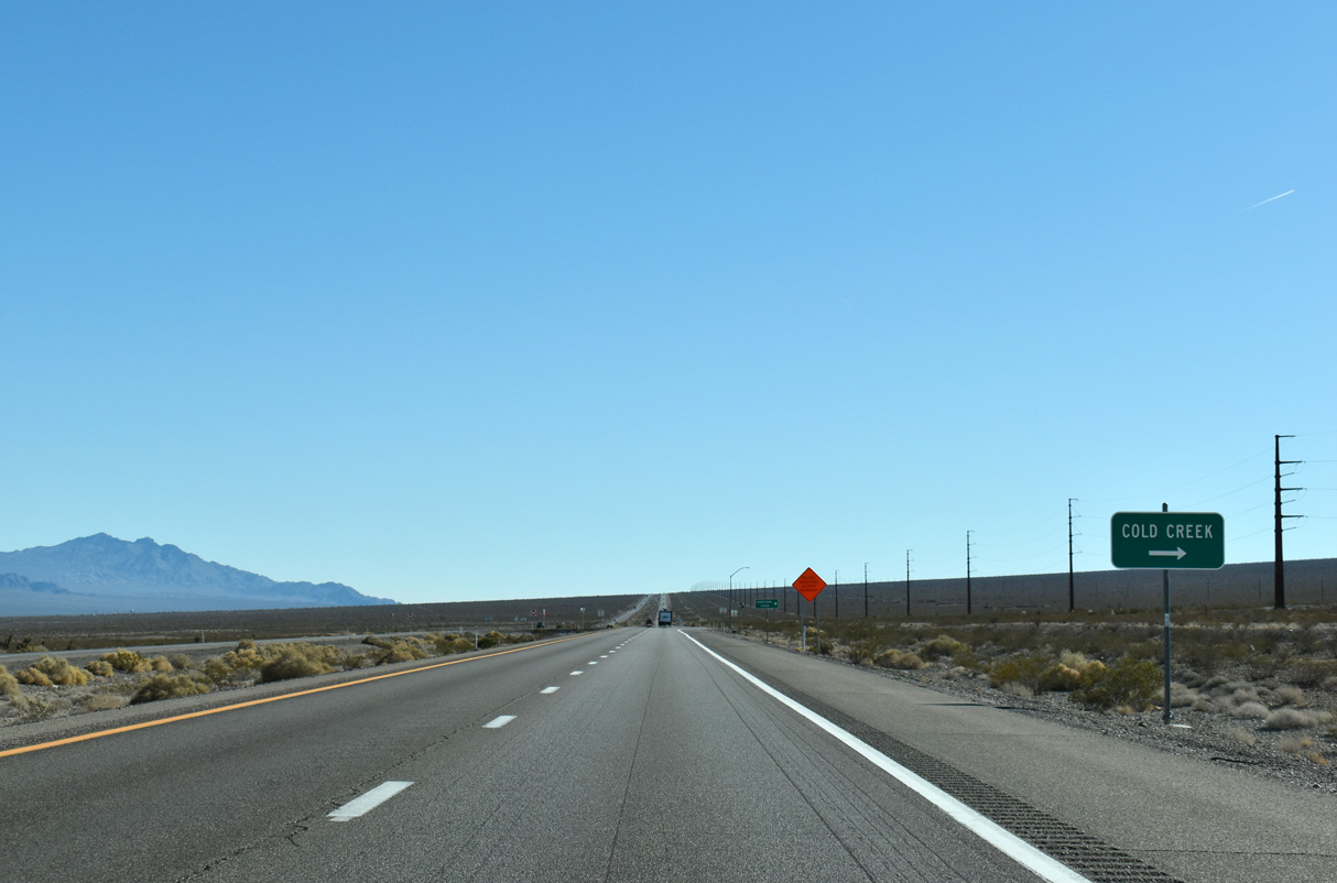
Cold Creek Road leads 13.6 miles southwest from U.S. 95 to Timberlane Drive and the community of Cold Creek at the base of Bonanza Peak.
11/24/25
11/24/25
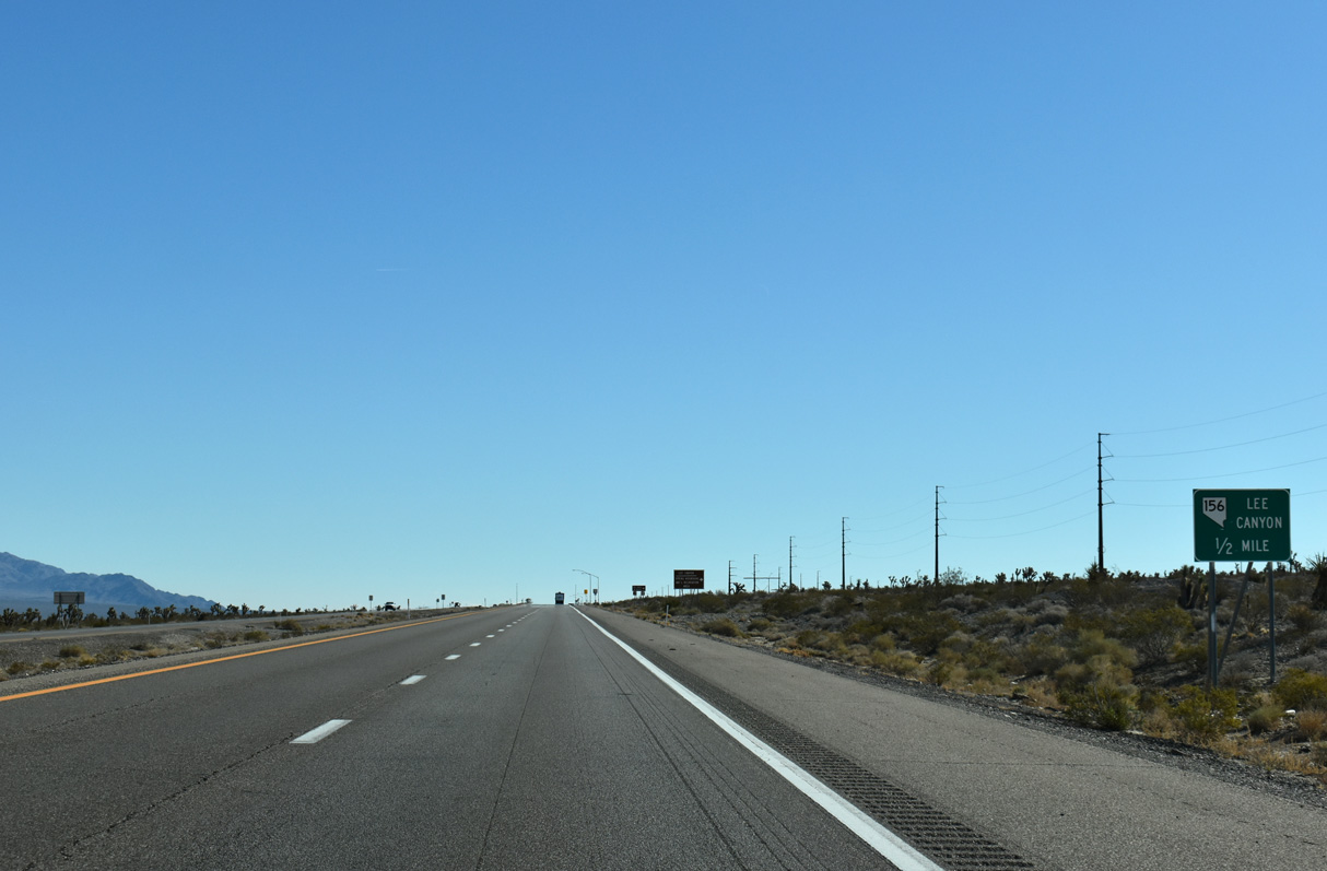
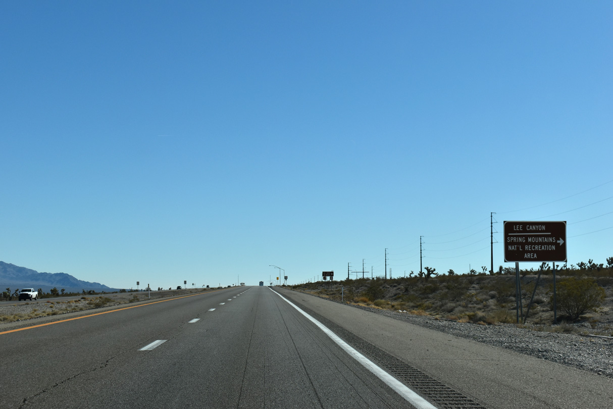
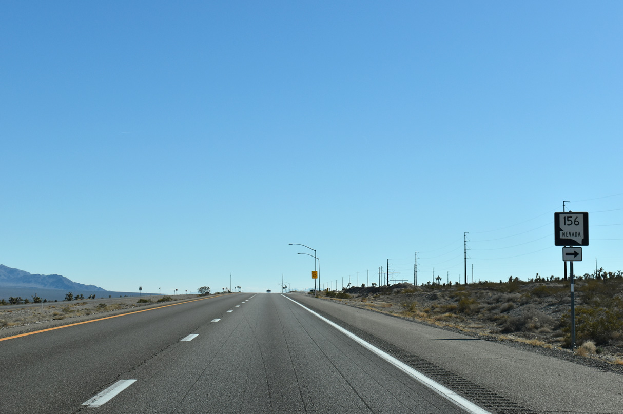
SR 156 travels nearly 17 miles southwest, joining U.S. 95 with Lee Canyon to the north of Charleston Peak (11,916 feet).
11/24/25
11/24/25
11/24/25
11/24/25
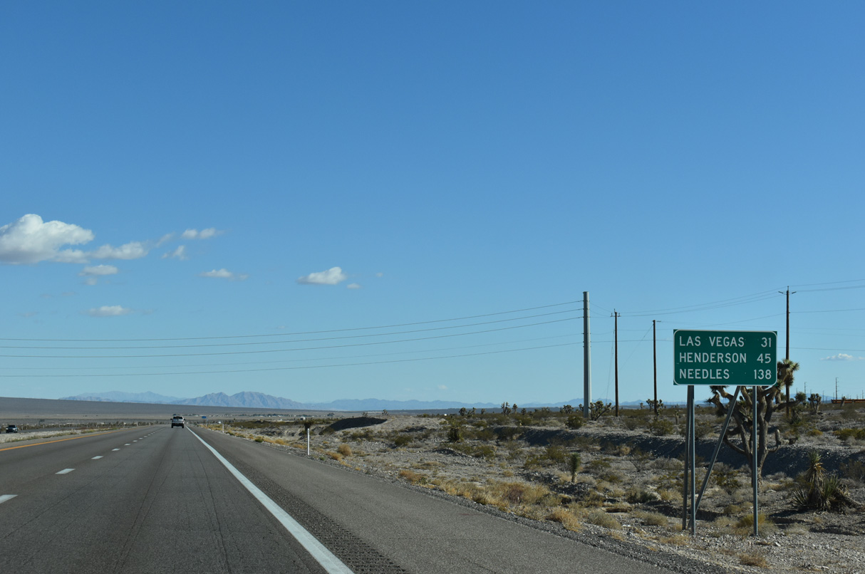
Downtown Las Vegas is 31 miles to the southeast of the U.S. 95 junction with SR 156 at the north end of Las Vegas Valley.
10/23/25
10/23/25
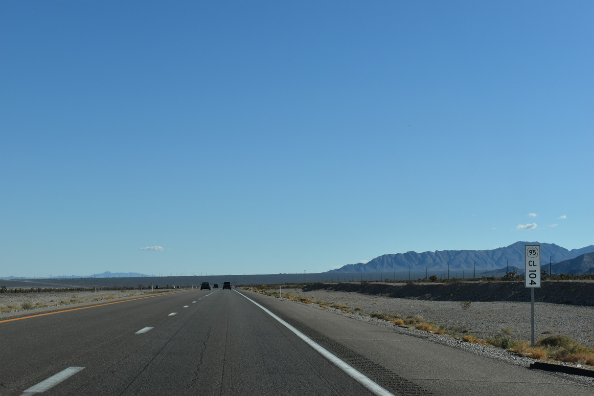
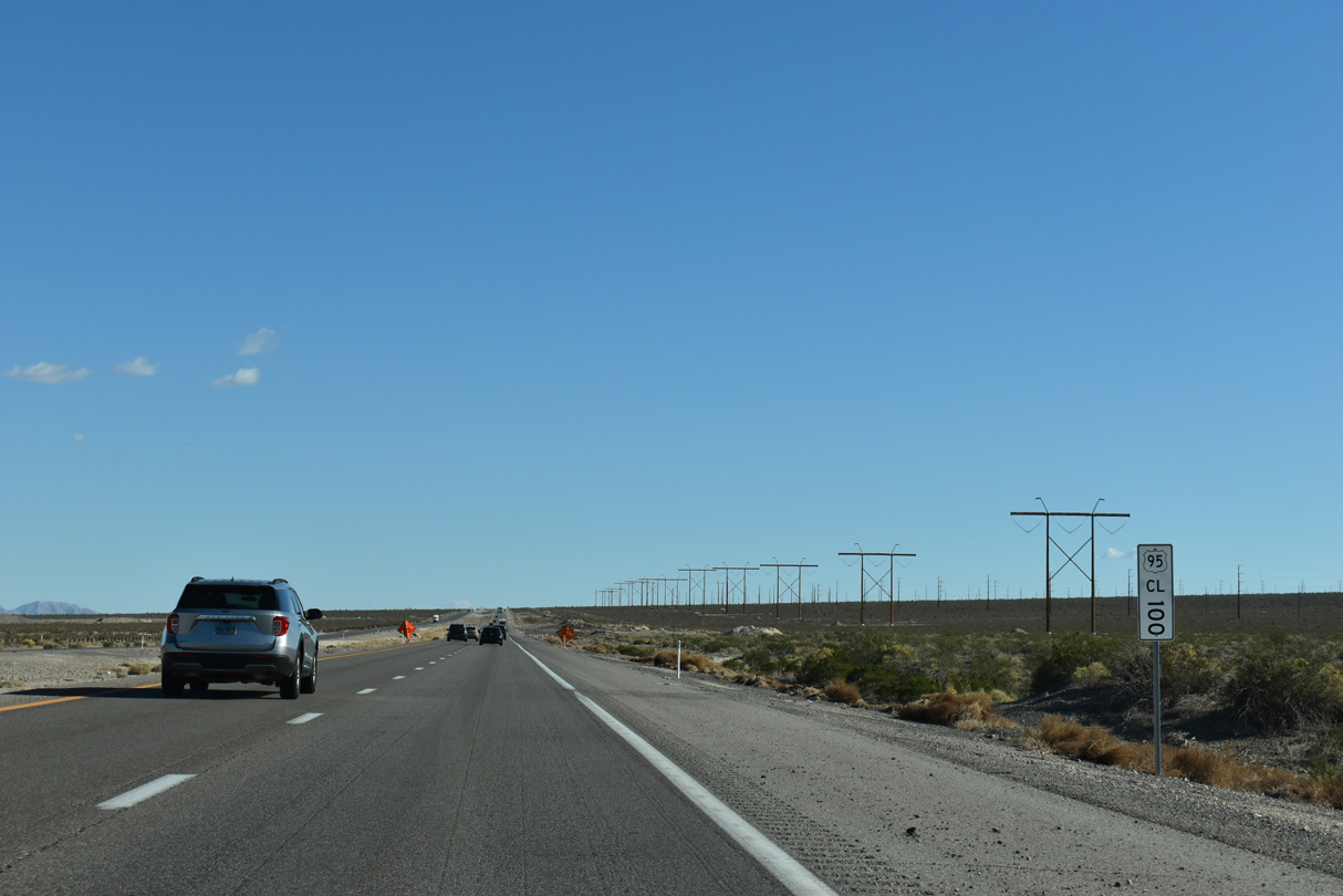
Clark County mile marker 104
10/23/25
10/23/25
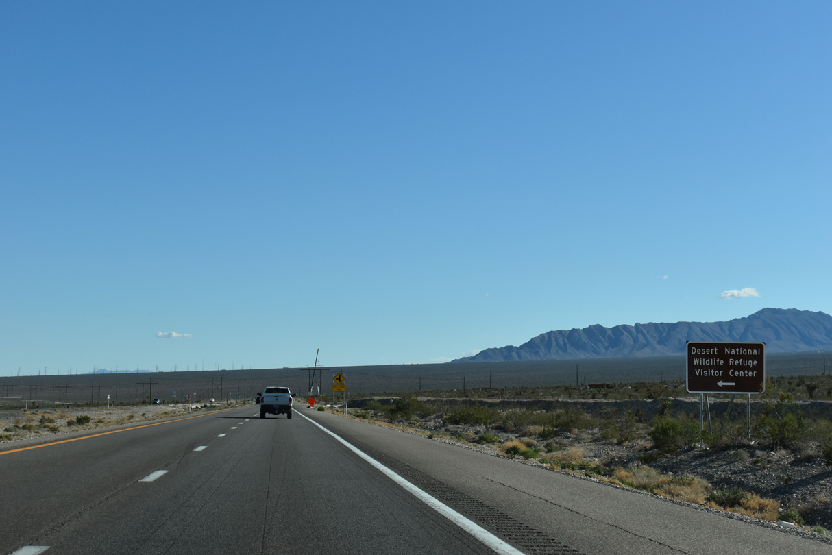
Corn Creek Road stems east toward the unincorporated community of Corn Creek and the Desert National Wildlife Refuge Visitor Center.
10/23/25
10/23/25
10/23/25
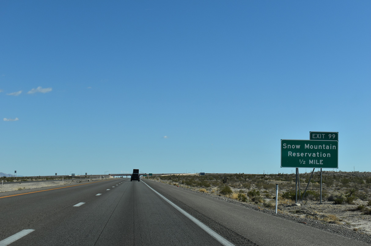
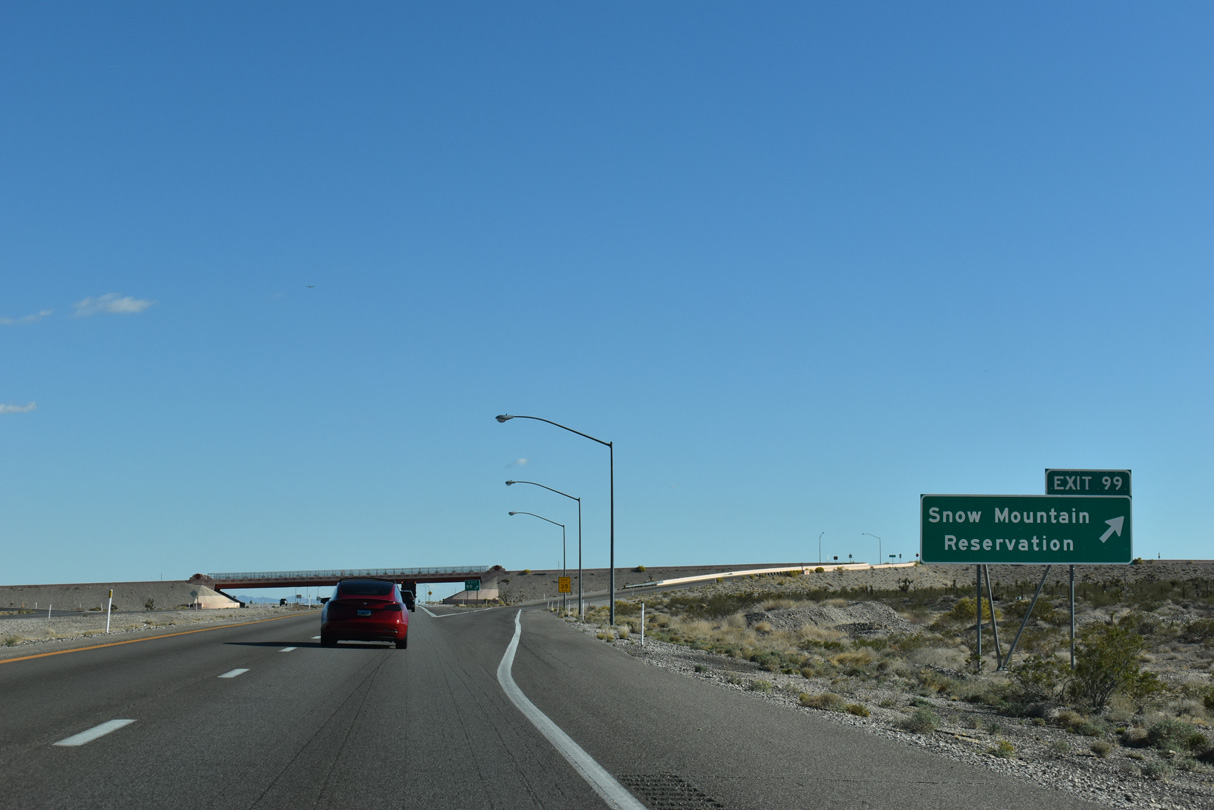
U.S. 95 upgrades to a freeway ahead of the diamond interchange (Exit 99) with Pauite Way south and Nu-Wav Kaiv Boulevard east.
10/23/25
10/23/25
10/23/25
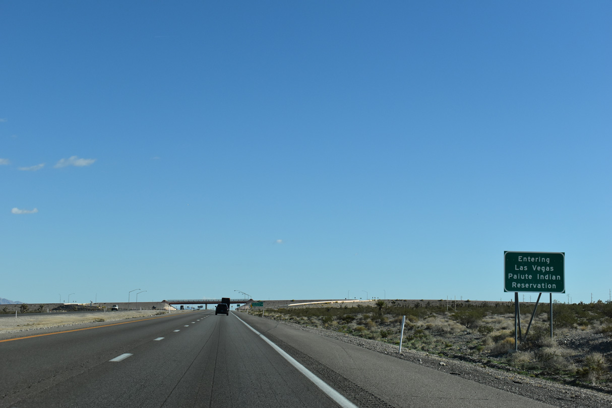
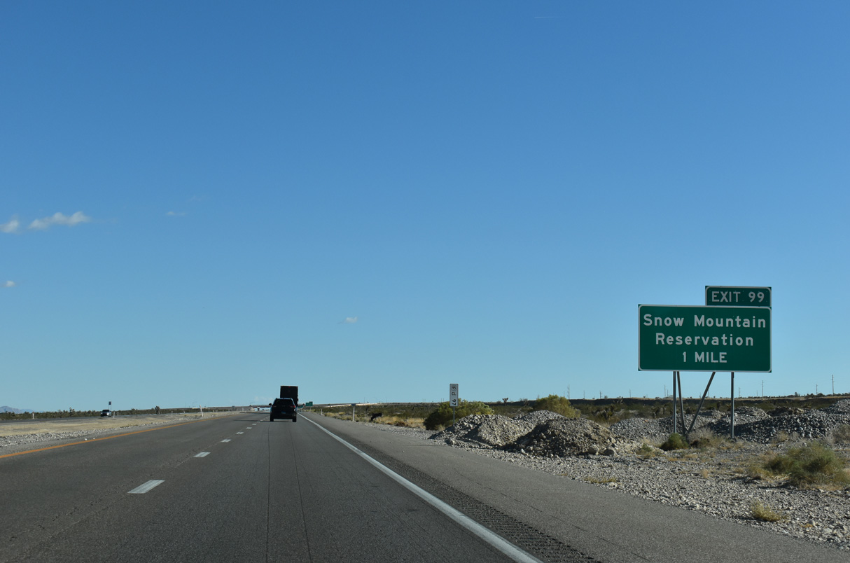
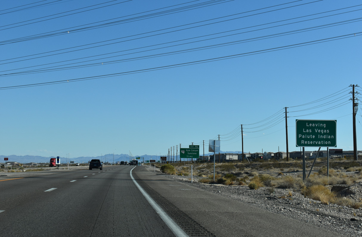
U.S. 95 angles 2.75 miles southeast through the Las Vegas Paiute Indian Reservation.
10/23/25
10/23/25
Pauite Way south and Nu-Wav Kaiv Boulevard do not connect with any other roads.
10/23/25
10/23/25
10/23/25
10/23/25
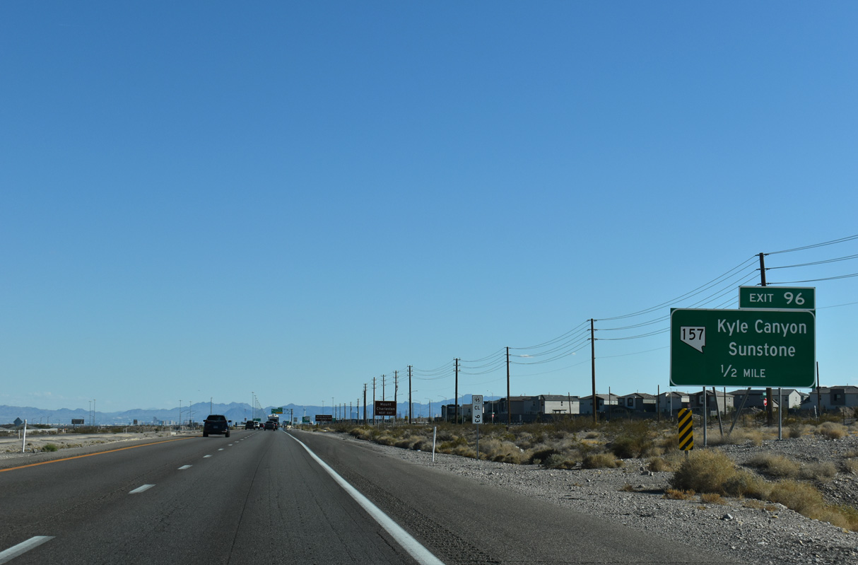
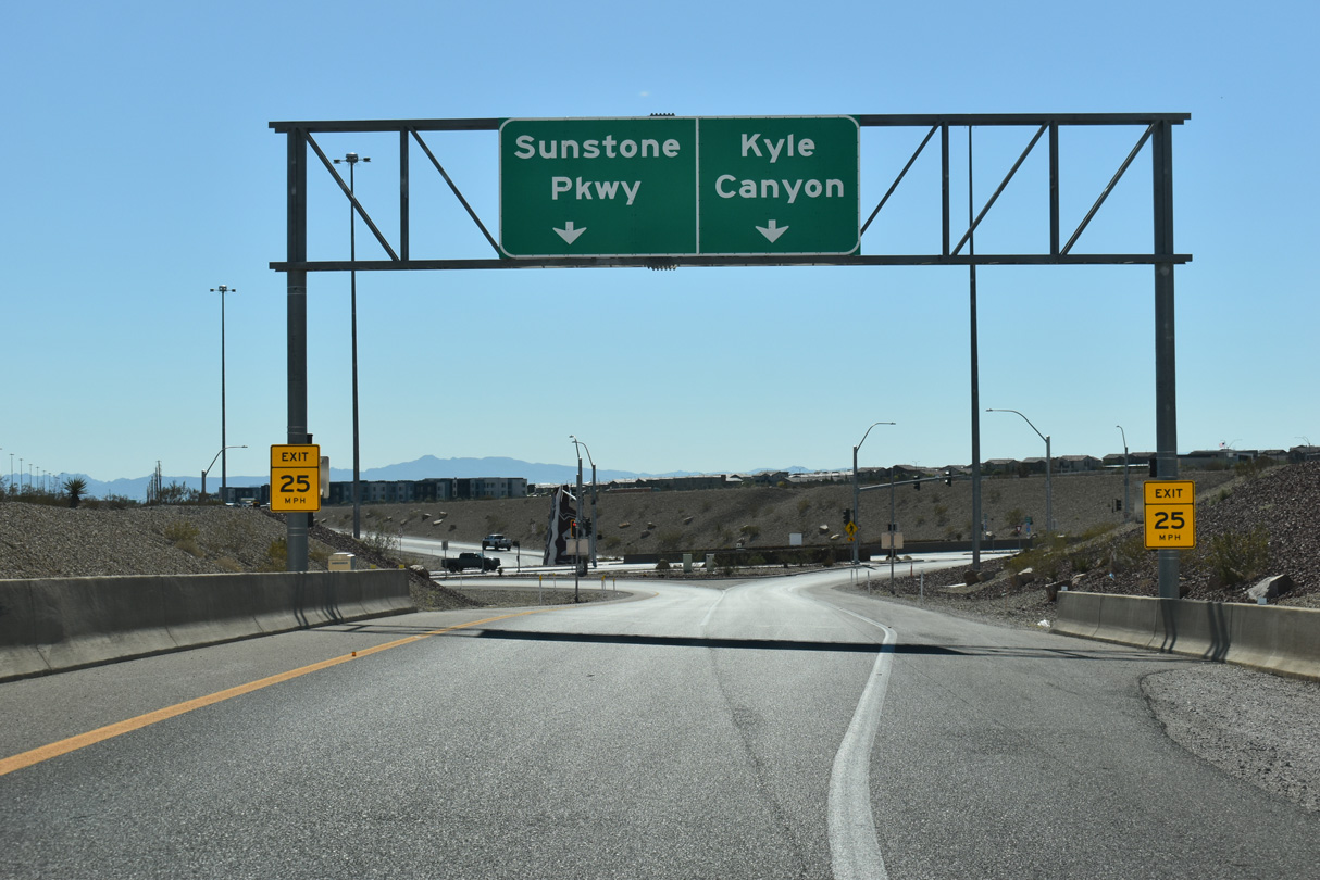
A DDI at Exit 96 joins U.S. 95 and Interstate 11 with the south end of SR 157 (Kyle Canyon Road).
10/23/25
10/23/25
SR 157 travels 21.56 miles northwest from the exchange at Exit 96 to Charleston Recreation Area at Mount Charleston.
10/23/25
10/23/25
10/23/25
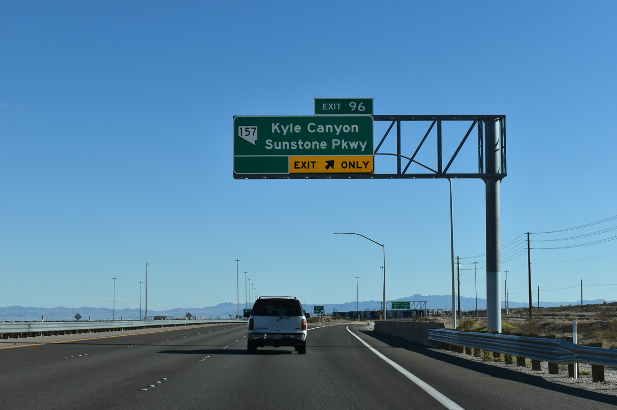
Sunstone Parkway extends east from SR 157 and the DDI with I-11/U.S. 95 into the Sunstone development.
10/23/25
10/23/25
SR 157 west travels through Kyle Canyon to the unincorporated town of Mount Charleston in the Spring Mountains.
10/23/25
10/23/25
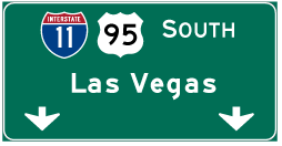
Photo Credits:
- AARoads: 11/11/08
- Andy Field: 01/20/02
- Brent Ivy: 11/24/25
- ABRoads: 10/23/25
Connect with:
Page Updated Sunday November 02, 2025.