
U.S 95 Alternate North

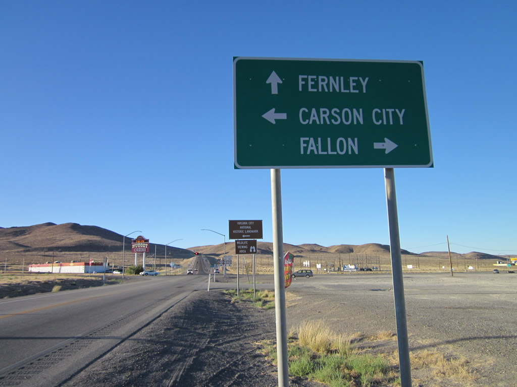
Northbound U.S. 95 Alternate at U.S. 50 (Lincoln Highway) in Silver Springs. U.S. 50 ventures west to Carson City and Lake Tahoe and east to Fallon, Austin, Eureka and Ely.
07/31/12
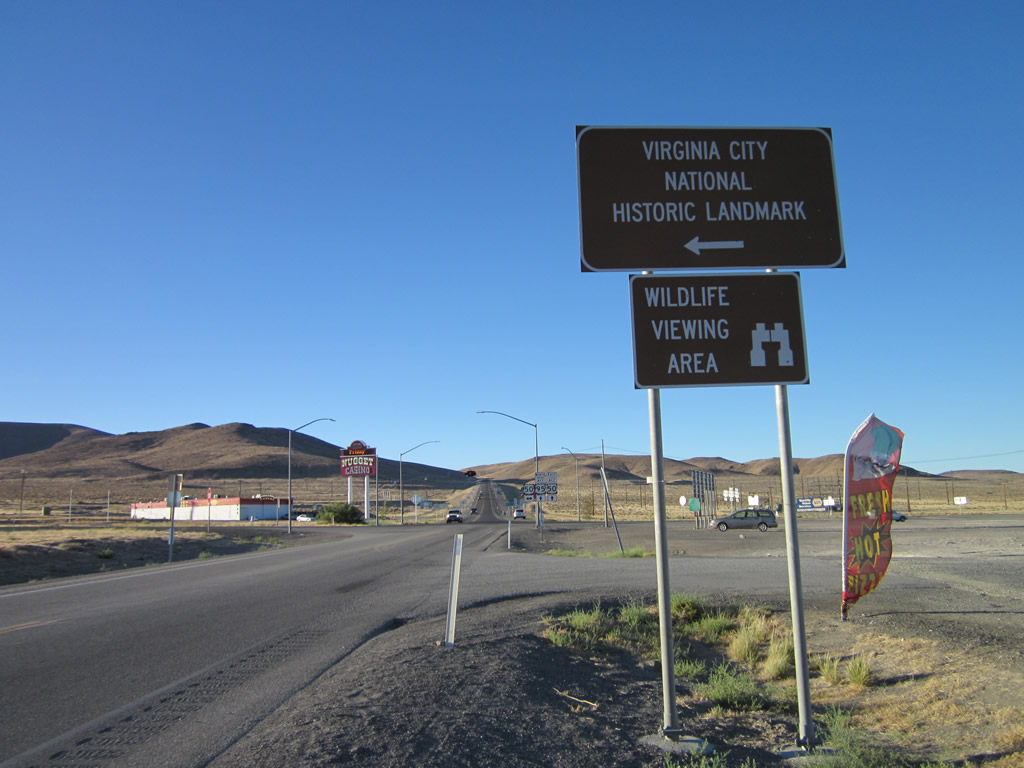
U.S. 50 travels west 27.3 miles to SR 341, which heads north to the Virginia City National Historic Landmark.
07/31/12
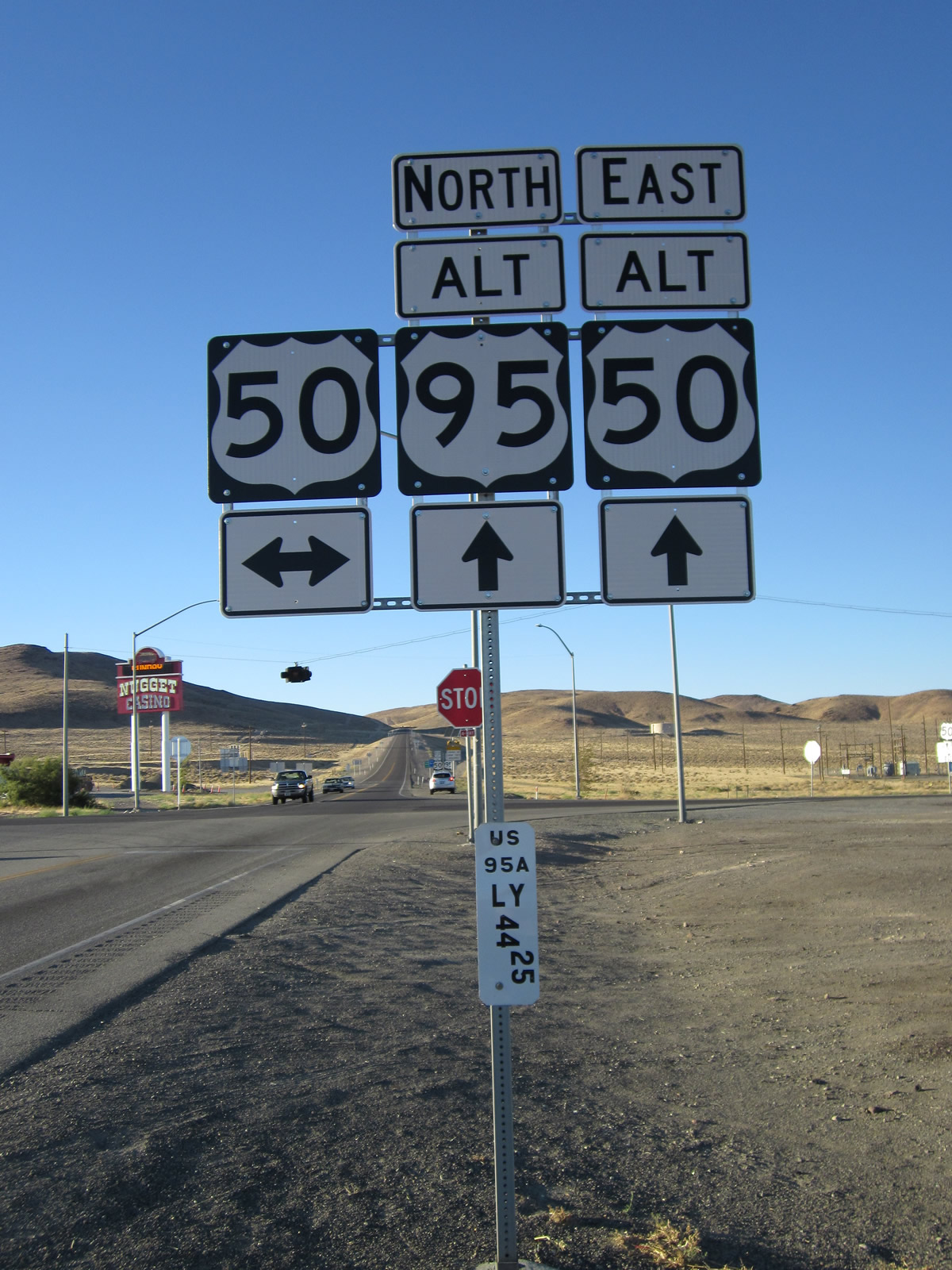
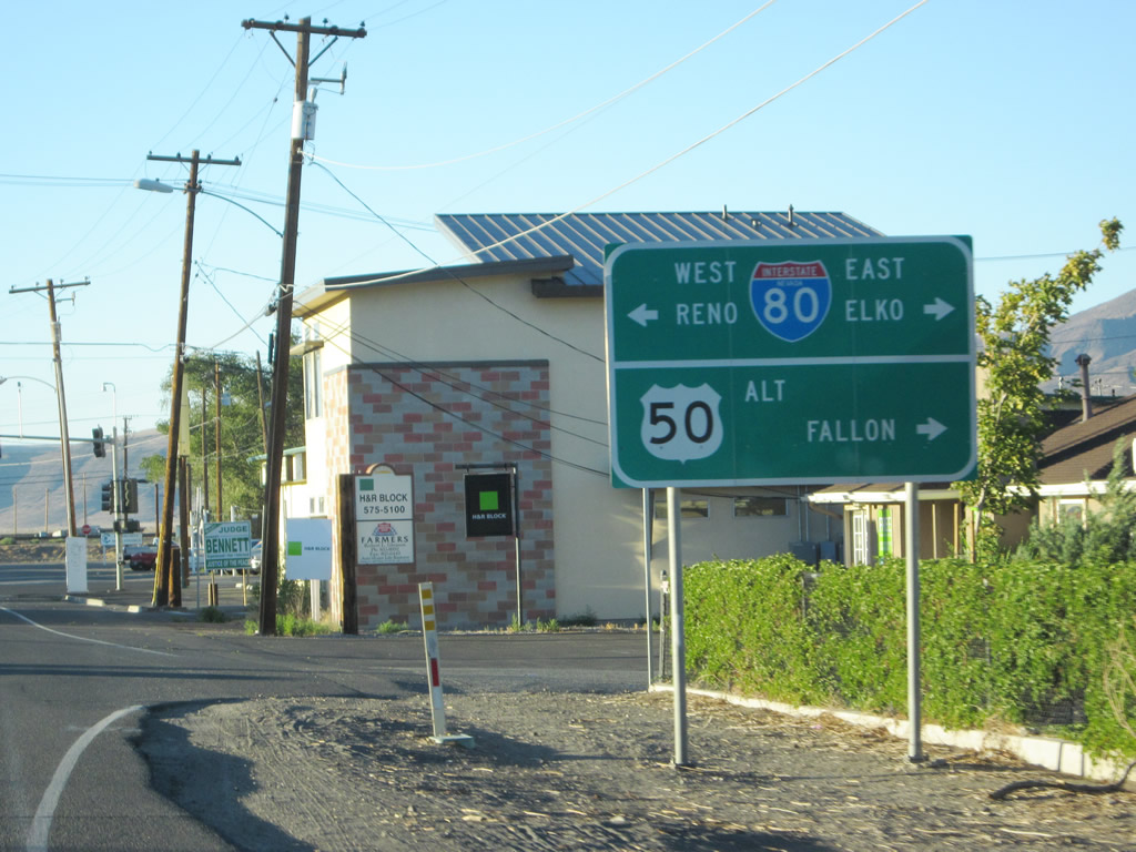
A four-way stop sign controls traffic at U.S. 95 Alternate and U.S. 50 in Silver Springs. U.S. 50 Alternate begins here and overlaps with U.S. 95 Alternate north to Fernley.
07/31/12
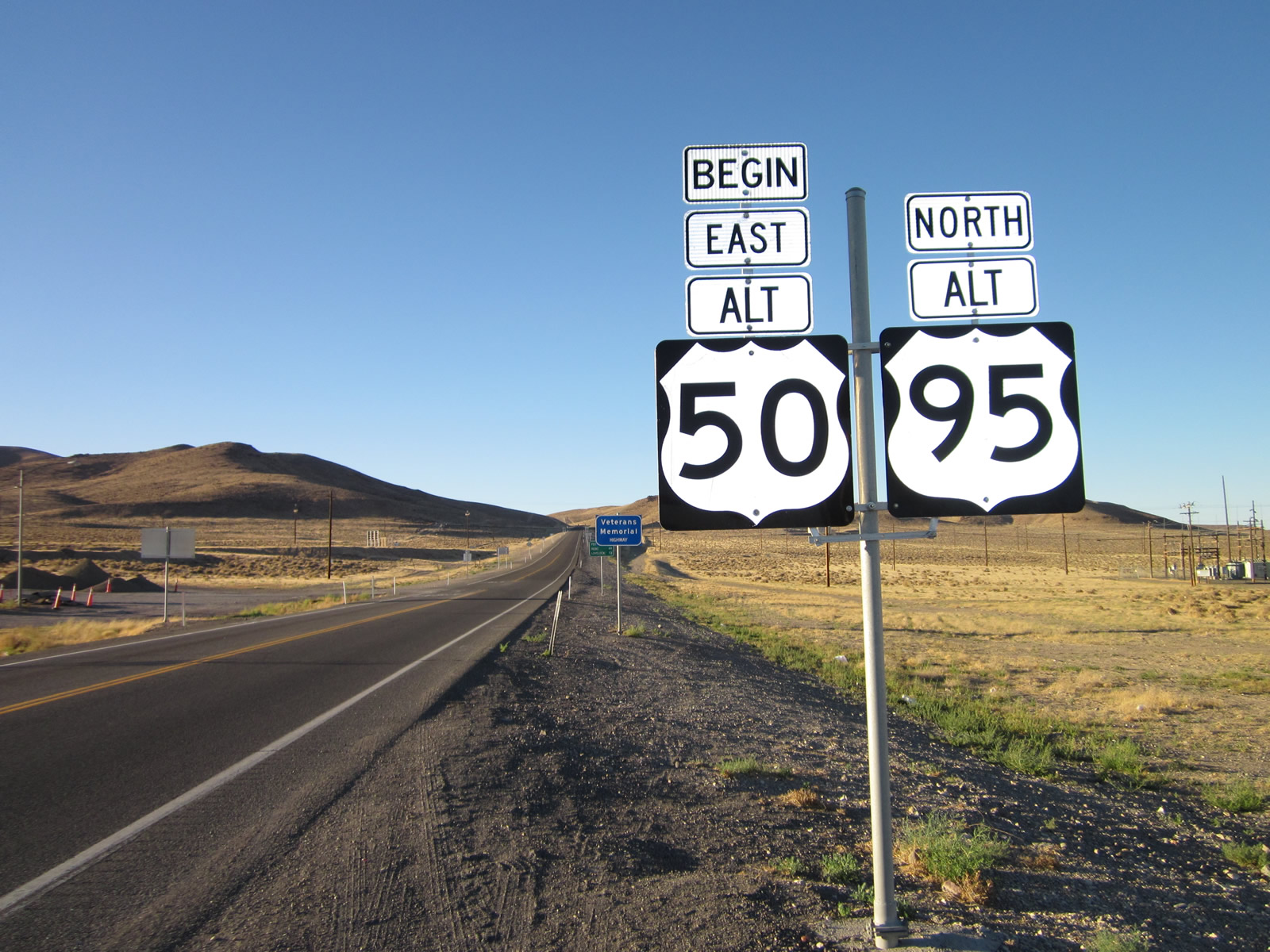
U.S. 50-95 ALT proceed north from U.S. 50 at Silver Springs. Officially, NDOT considers the road from Silver Springs to Fernley to be U.S. 50 ALT, using U.S. 50 ALT mileposts since it is the lower of the two route numbers.
07/31/12
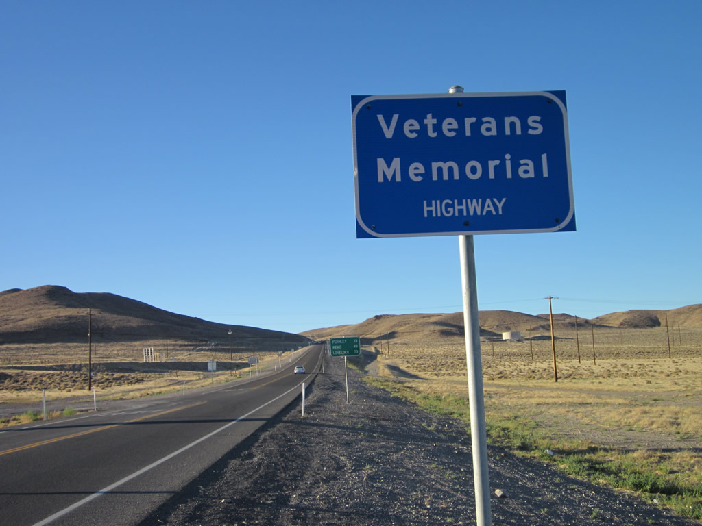
The two alternate routes are designated the Veterans Memorial Highway. Heading north from Silver Springs, the two lane highway traverses Virginia Range.
07/31/12
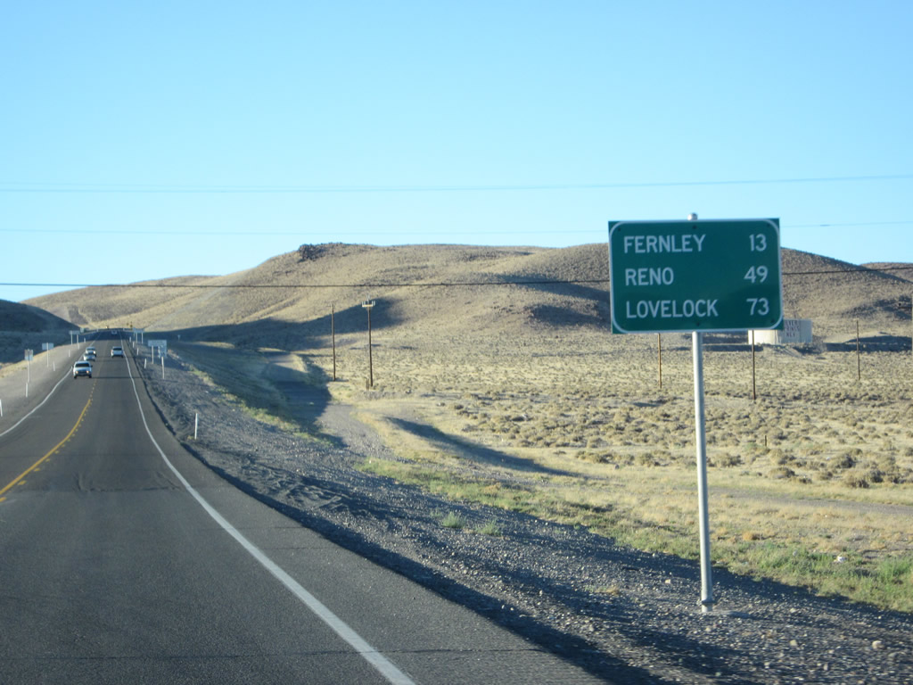
Heading north from U.S. 50, the two routes will reach Fernley in 13 miles. Reno lies 49 miles to the west via I-80 and Lovelock 73 miles to the east via the freeway.
07/31/12
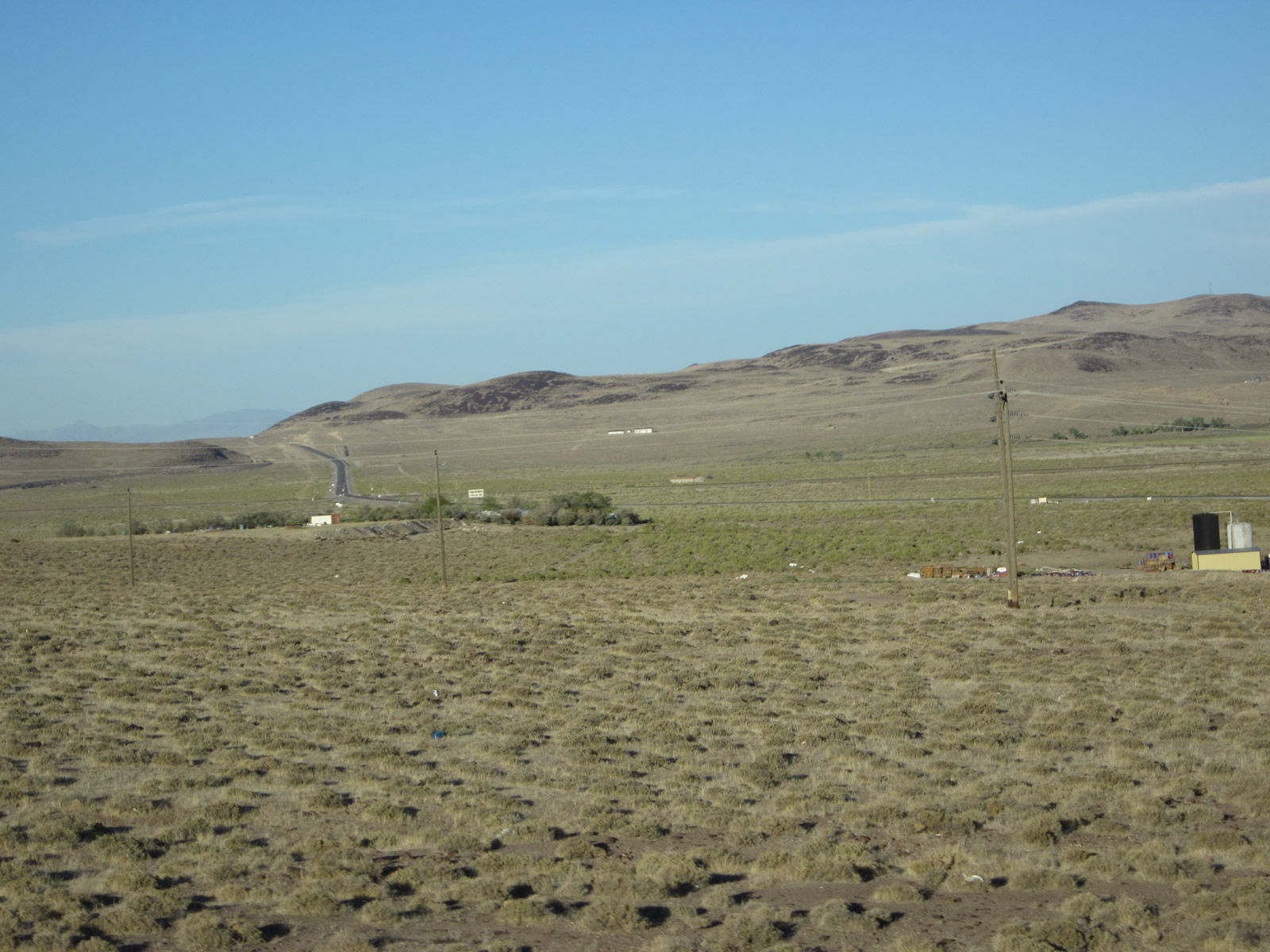
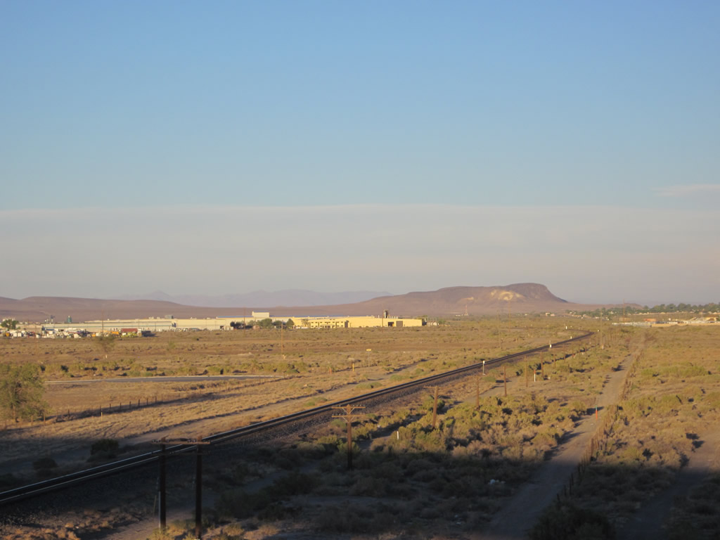
Looking east at the northern outskirts of Silver Springs and a distant view of U.S. 50 traveling east toward Fallon.
07/31/12
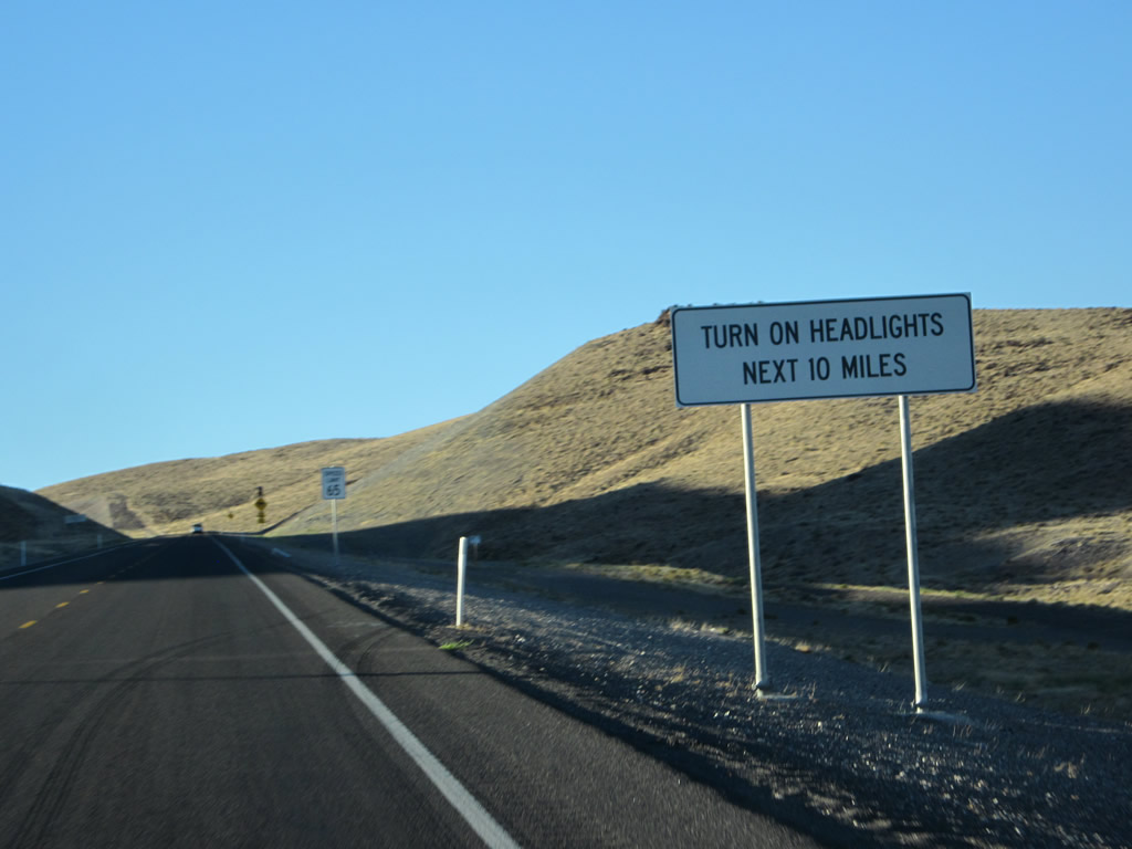
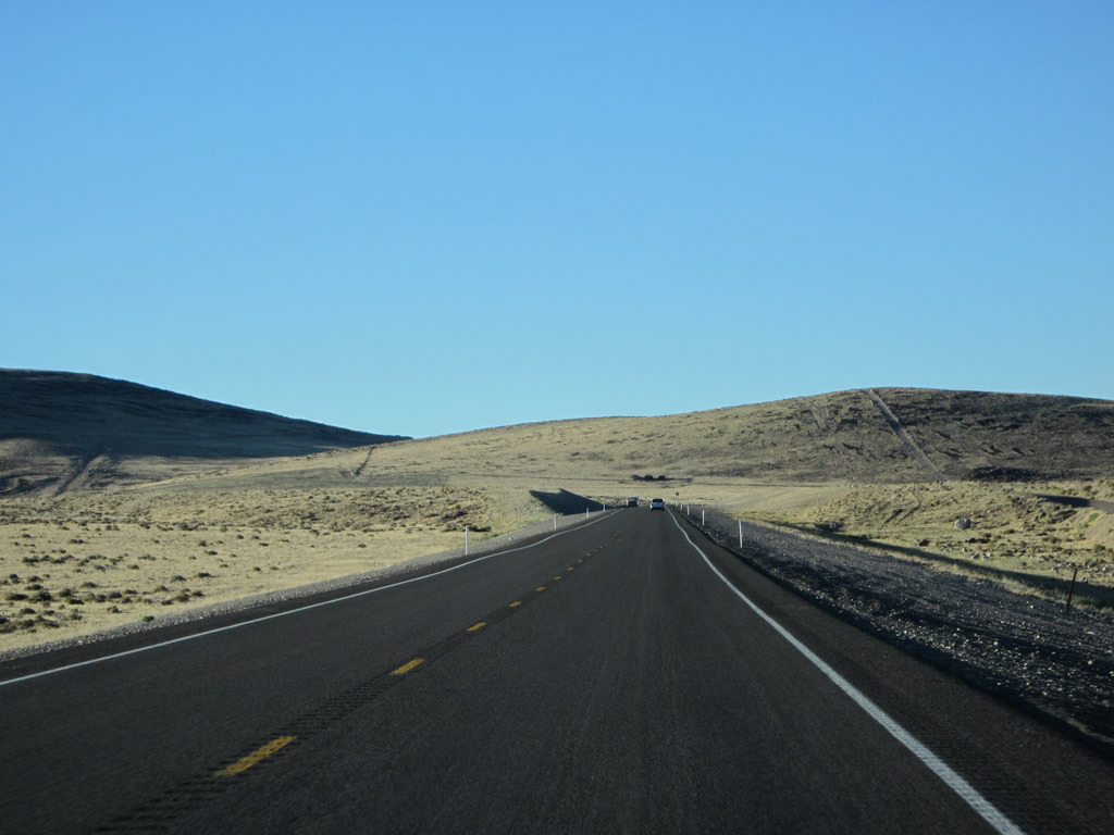
The ten mile drive north from Silver Springs is a highway safety corridor, with headlight use required.
07/31/12
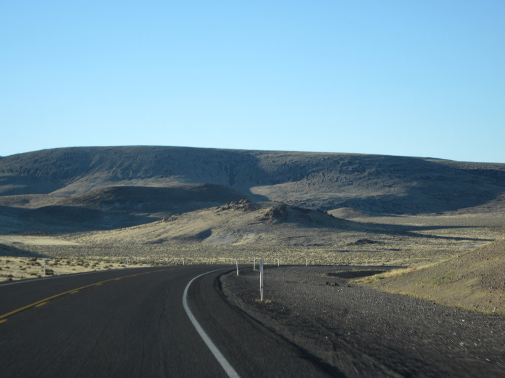
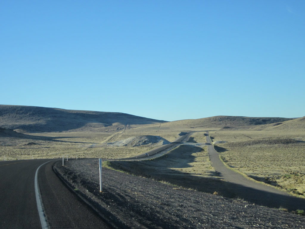
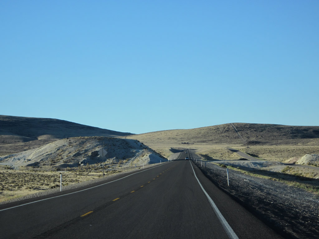
This series of pictures follows U.S. 50A east and U.S. 95A north through southern reaches of Virginia Range. No motorist services are available along this fairly desolate route, which is notable for the scenic emptiness of the terrain.
07/31/12
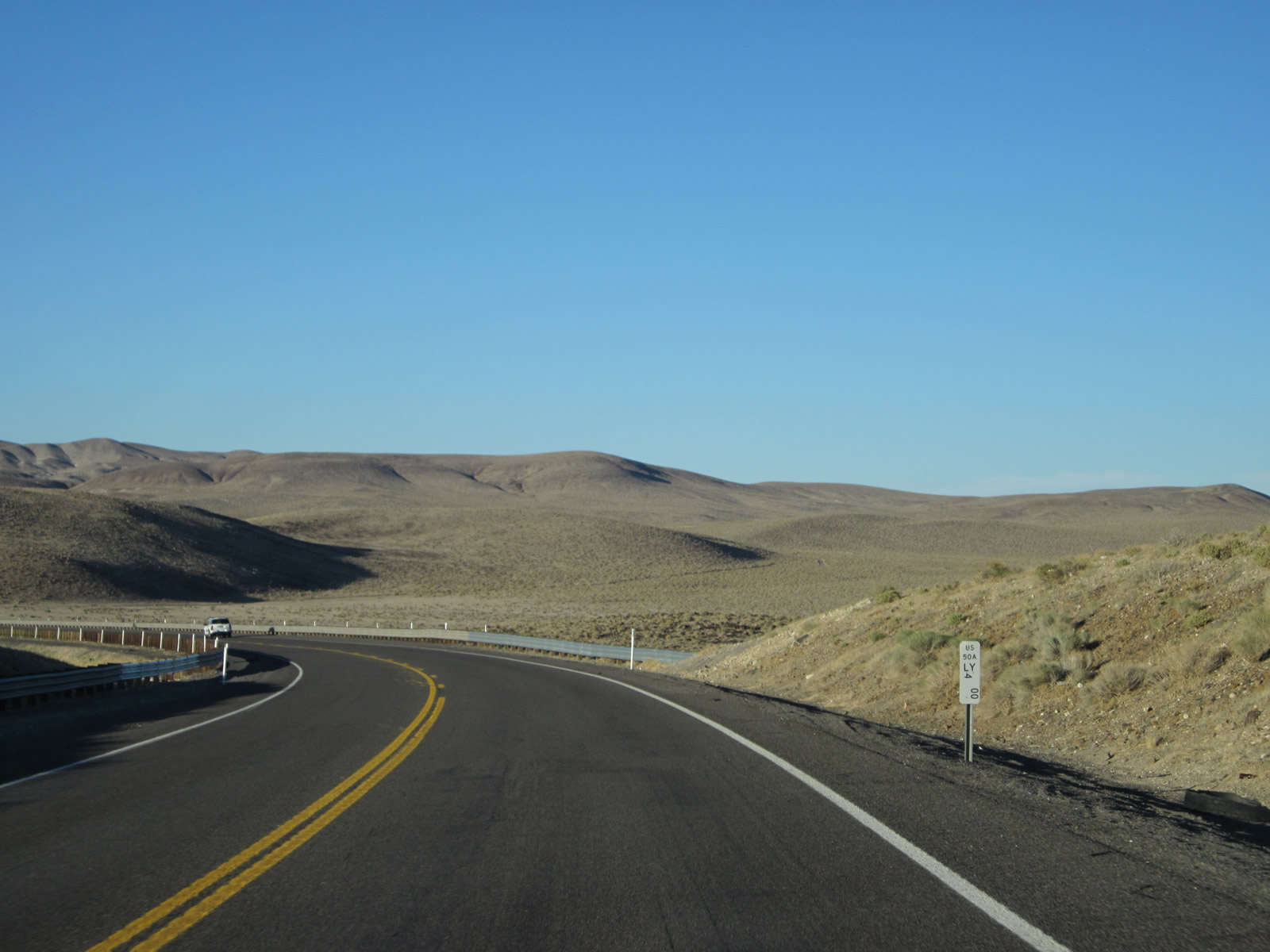
Passing by Lyons County milepost 4 for U.S. 50A along northbound.
07/31/12
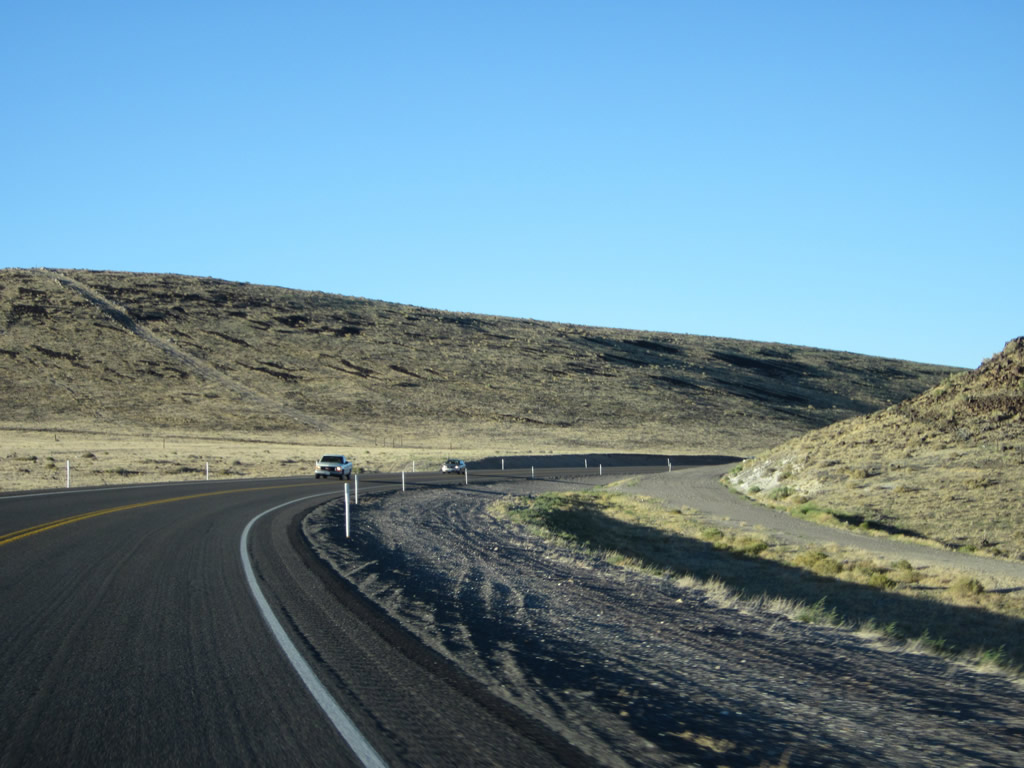
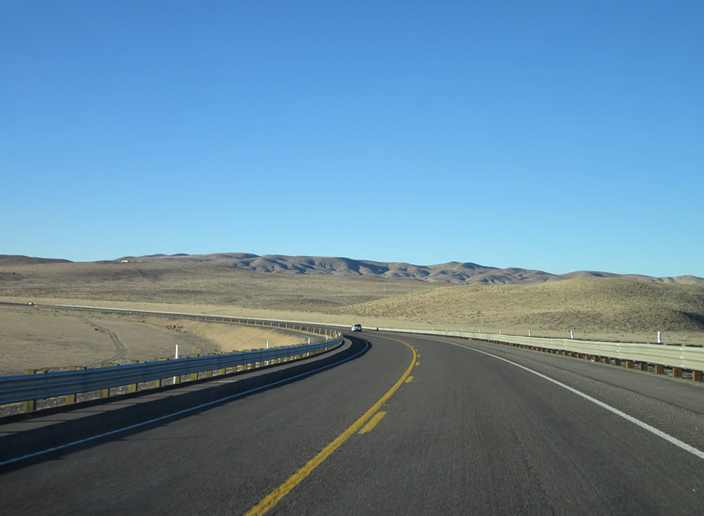
U.S. 50-95 Alternate make a sweeping curve across western areas of White Sage Flat.
07/31/12
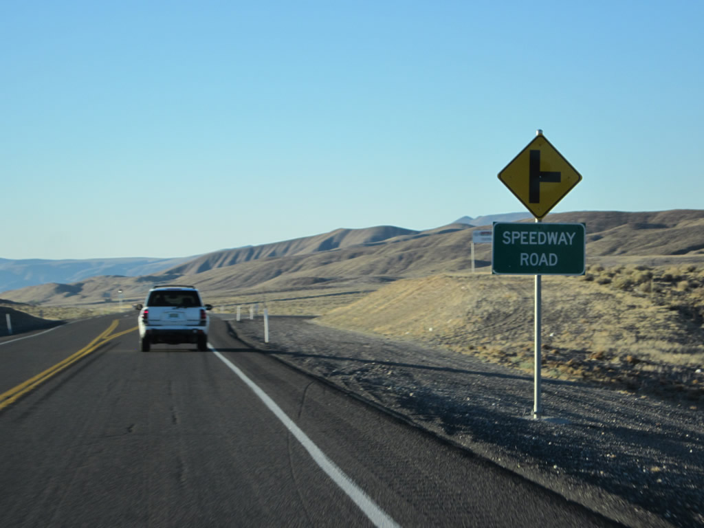
U.S. 50 ALT east / U.S. 95 ALT north at the intersection with Speedway Road.
07/31/12
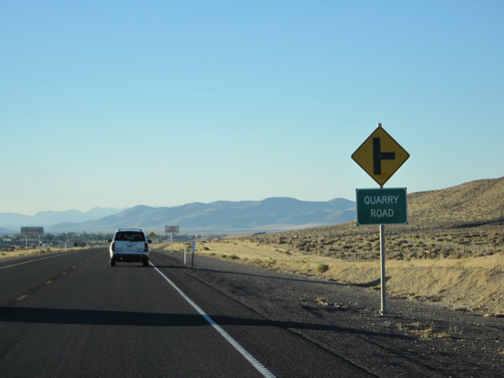
Quarry Road stems east from U.S. 50-95 ALT into the adjacent hills to a pair of quarries.
07/31/12
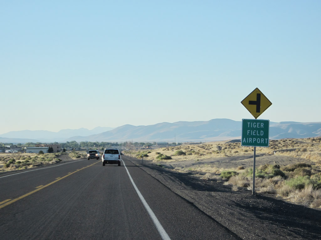
Nearing the outskirts of Fernley, the daytime headlight safety section ends. The BLM airport, Tiger Field (N58) lines the west side of U.S. 50-95 ALT.
07/31/12
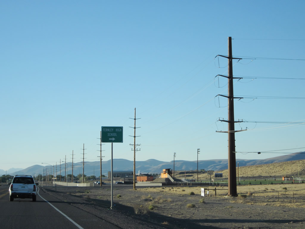
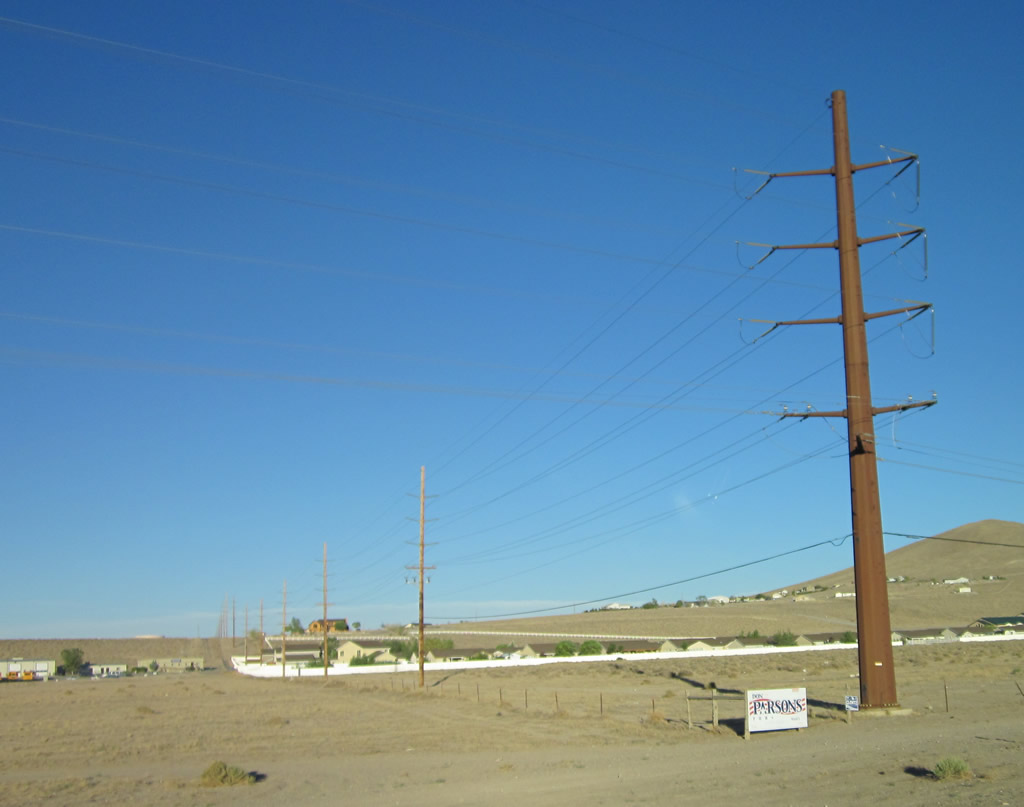
A set of power lines turns to follow U.S. 50A and U.S. 95A near the intersection with Big Oaks Drive and Desert Shadows Lane. The next right connects to Fernley High School.
07/31/12
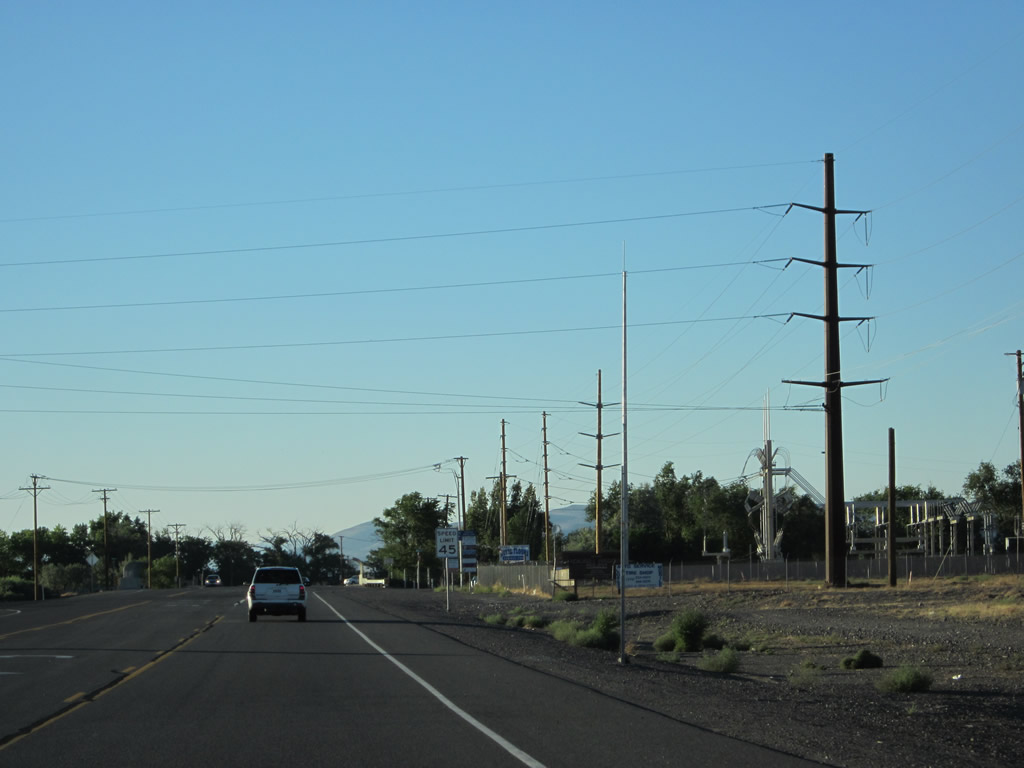
The speed limit along U.S. 50A-95A reduces as the highway enters the developed areas of Fernley.
07/31/12
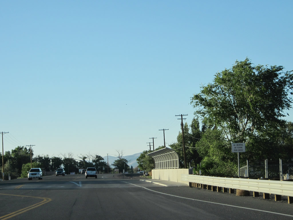
An irrigation canal passes below U.S. 50A-95A. This canal is operated by the Truckee-Carson Irrigation System, which conveys water throughout the region with connections to Lahontan Reservoir near Silver Springs.
07/31/12
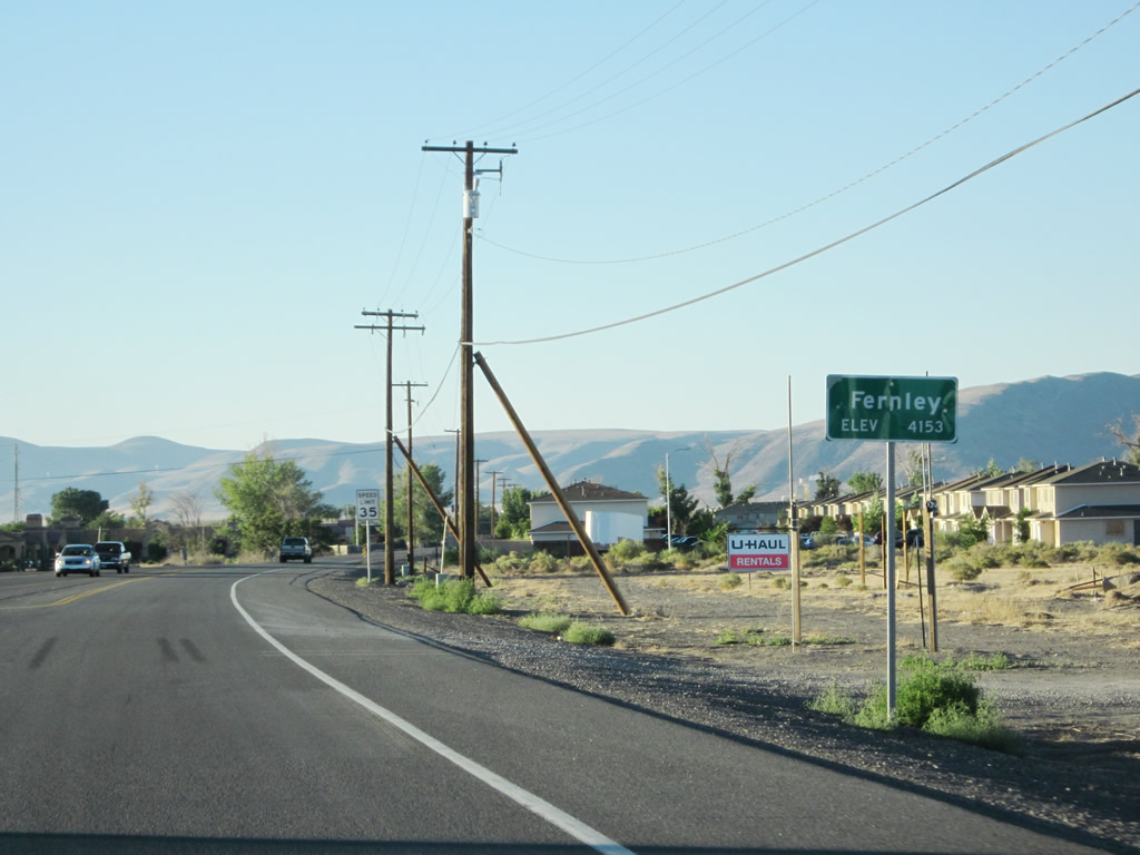
U.S. 50-95 ALT north enter the city of Fernley. Fernley sits at an elevation of 4,153 feet above sea level, was incorporated on July 1, 2001, and had a population of 22,895 as of the 2020 Census. The city is located in Lyon County, but used to straddle Lyon and Washoe Counties before a boundary line adjustment was made in 2005.
07/31/12
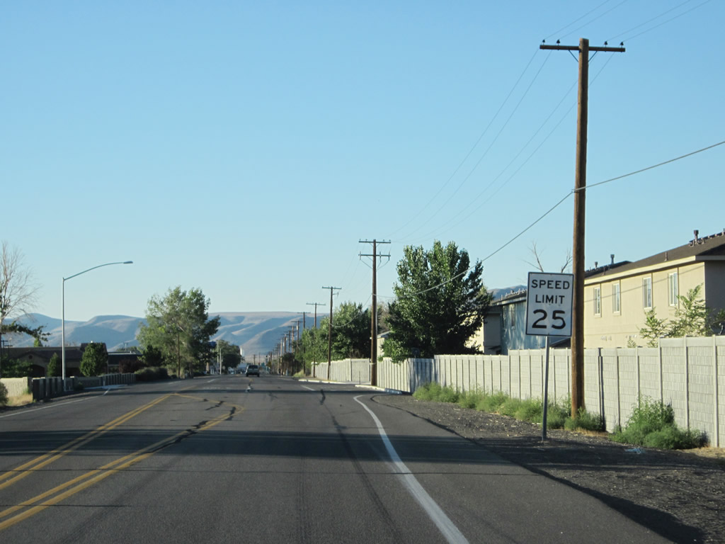
The speed limit reduces to 25 miles per hour, which is fairly typical for urban routes through Nevada cities.
07/31/12
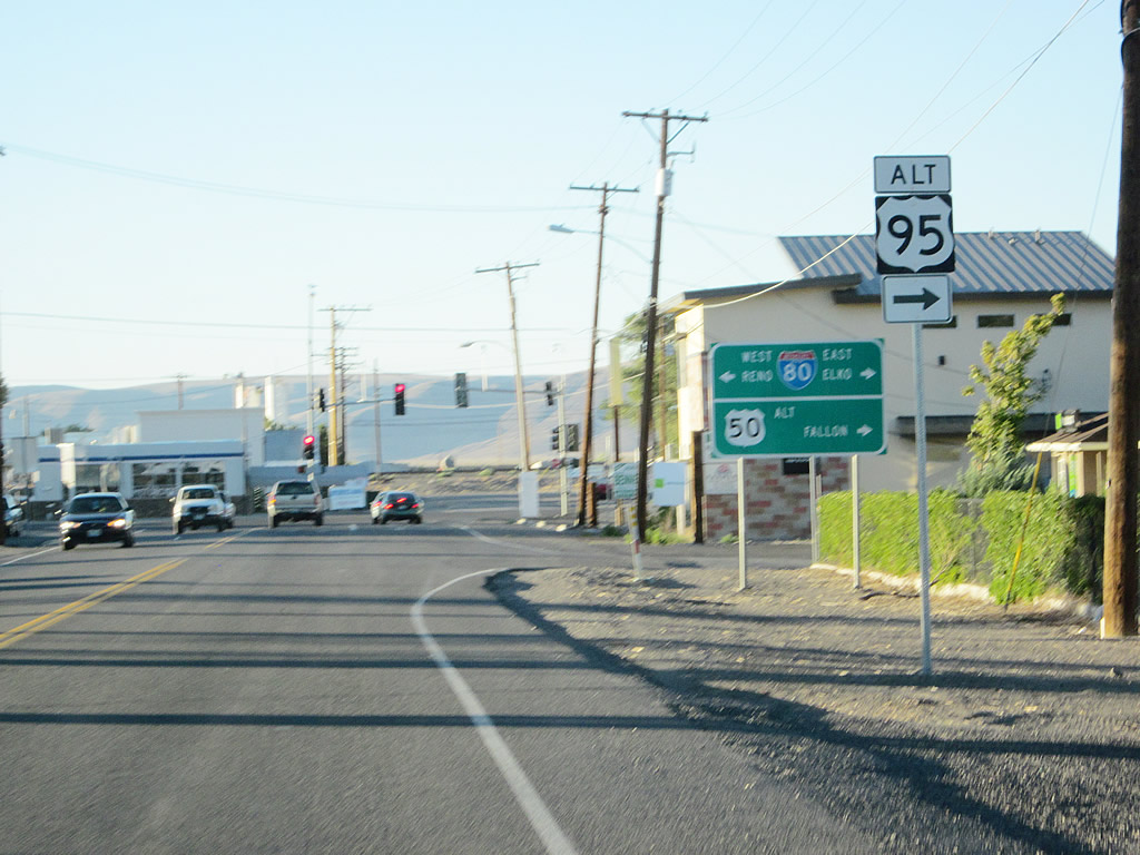
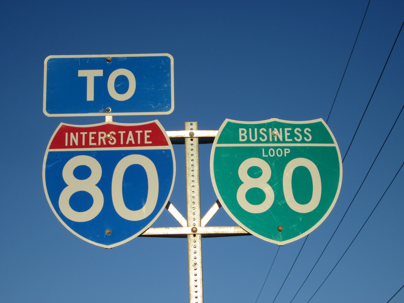
Advancing to the junction with Business Loop I-80/SR 427 (Main Street), where U.S. 50-95 ALT turn east. The four routes combine for 1.3 miles to a roundabout at Farm District Road.
07/31/12
Interests to Interstate 80 west for Reno-Sparks, Truckee and Sacramento are directed onto Main Street west. Although not signed here, SR 427 travels west from this intersection to follow Historic U.S. 40 to Wadsworth and also to connect with SR 447 north to Pyramid Lake and Gerlach.
07/31/12
SR 427 begins and travels west alongside Business Loop I-80 (Main Street) from U.S. 50A & 95A for 2.9 miles to Wadsworth.
07/31/12

 East
East  North
North
Business Loop I-80/U.S. 50-95 ALT proceed east along Main Street (Historic U.S. 40) through Downtown Fernley. The routes are unmarked along their concurrency.
07/31/12
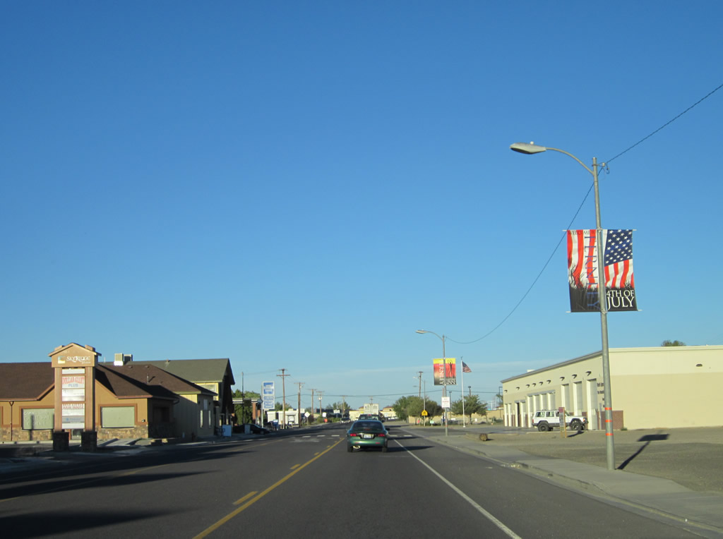
Shops, restaurants and other commercial establishments line this stretch of Main Street.
07/31/12

Next to a fire station, a banner references Fernley's role as the gateway to the Black Rock Desert. Located north of here along SR 447, the Black Rock Desert is home to the annual Burning Man festival held in late August/early September.
07/31/12
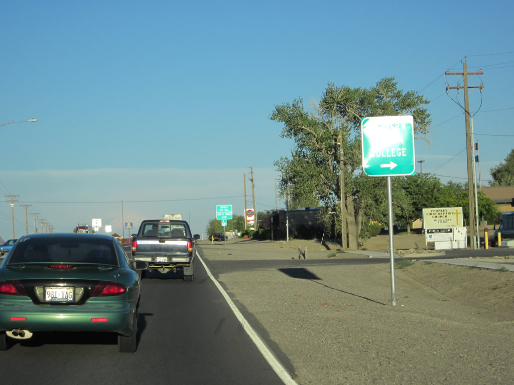
Eastbound Business Loop I-80/U.S. 50-95 ALT advance to the intersection with Silver Lace Boulevard, Western Nevada College and Fernley City Hall, both located to the south of Main Street.
07/31/12
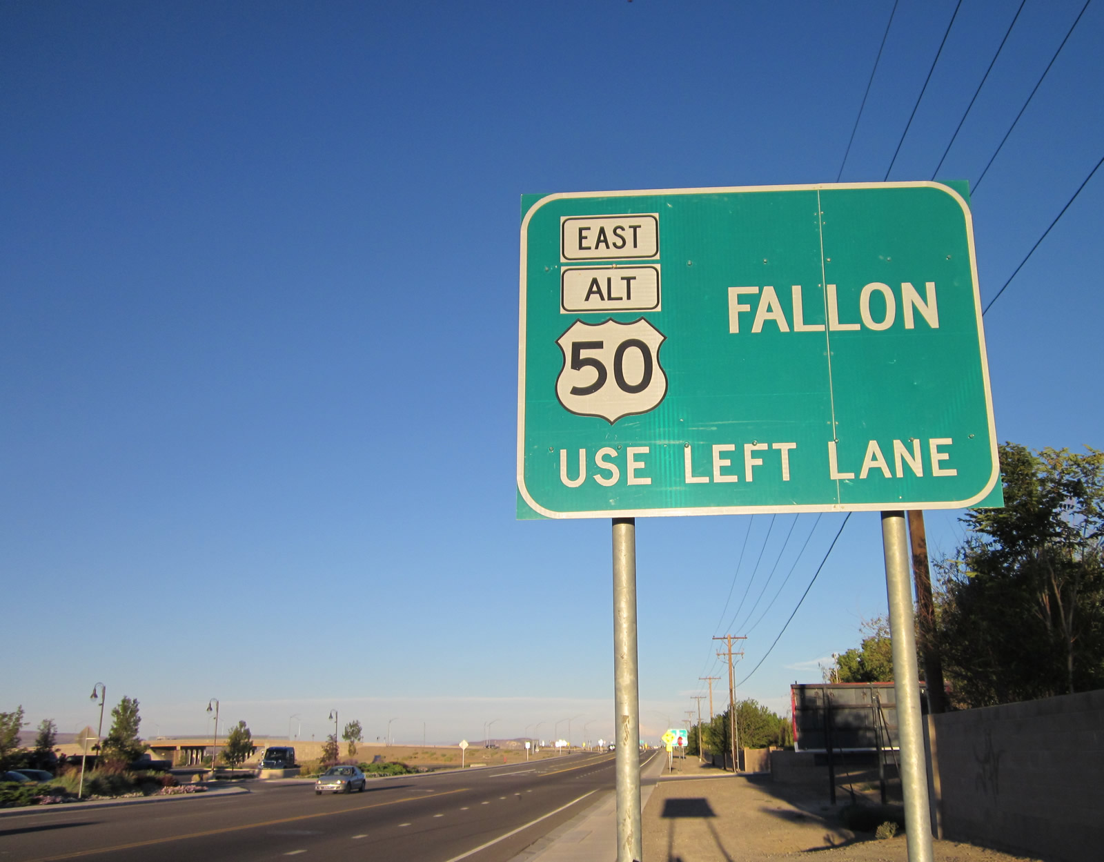
U.S. 50 Alternate remains on Main Street east from the upcoming roundabout. The highway continues another 17 miles to merge with U.S. 50 outside Fallon.
07/31/12
The Villa Park neighborhood lines the south side of Main Street to the roundabout with SR 828.
07/31/12
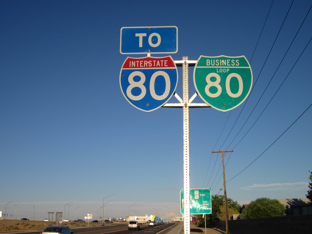
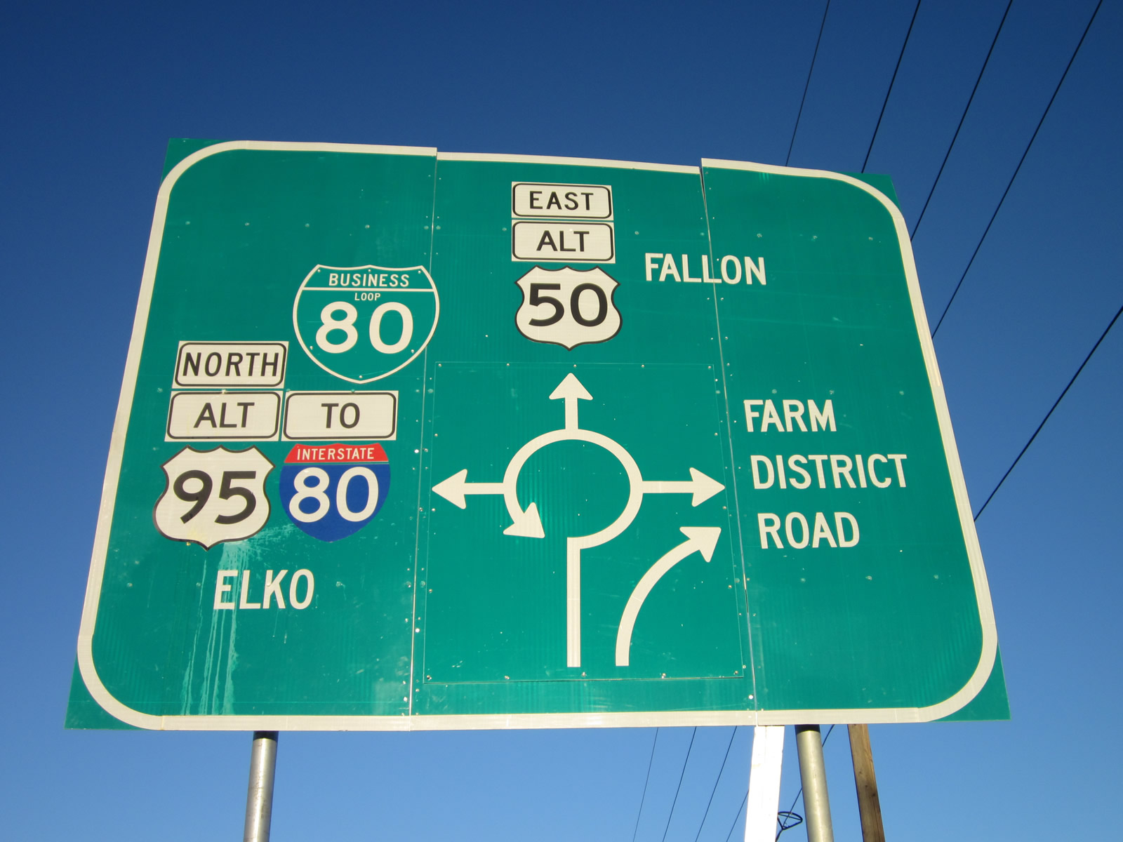
An Interstate 80 trailblazer and Business Loop I-80 reassurance marker precede the split with Main Street (U.S. 50 Alternate).
07/31/12
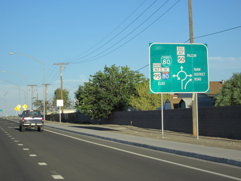
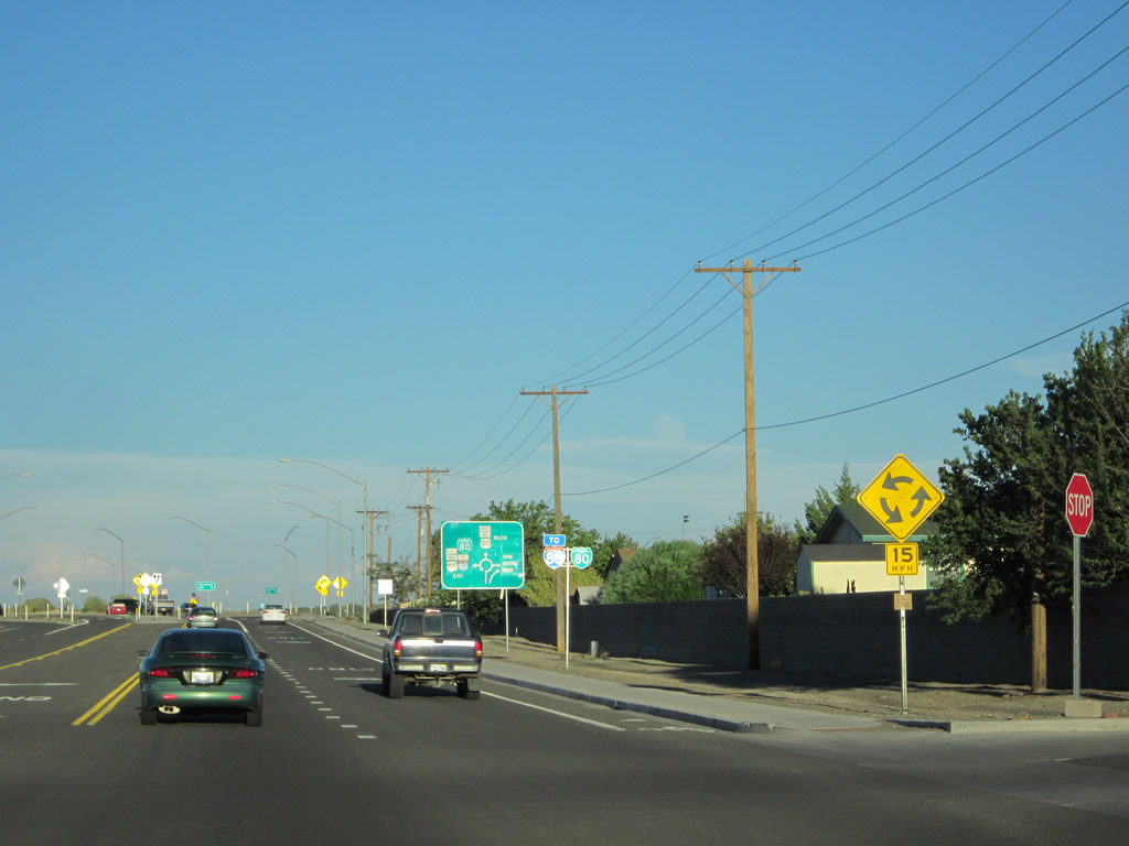
A bypass lane provides a free flow movement from Business Loop I-80 (Main Street) east to SR 828 (Farm District Road) south. U.S. 50 Alternate (Main Street) east and U.S. 95 Alternate north separate from within the roundabout.
07/31/12
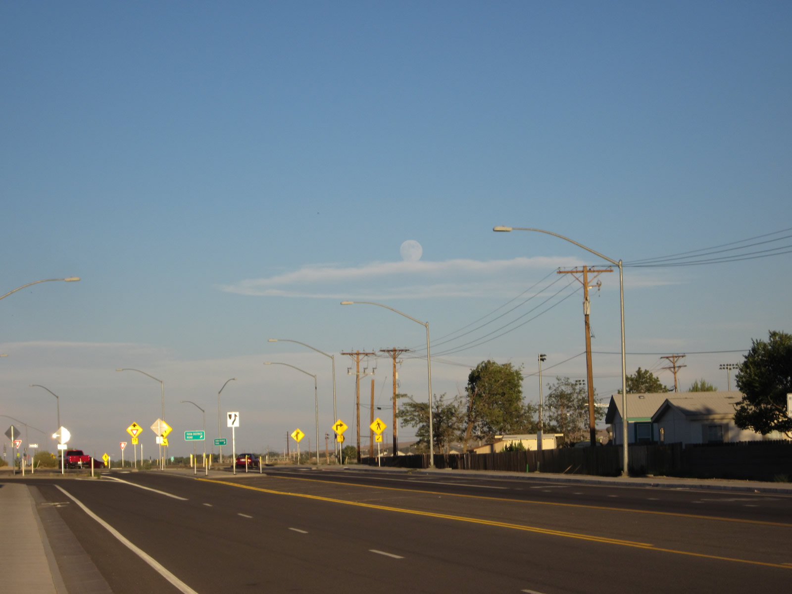
A full moon was waxing above the Farm District Road roundabout; this view was taken from the north sidewalk along Main Street looking east.
07/31/12
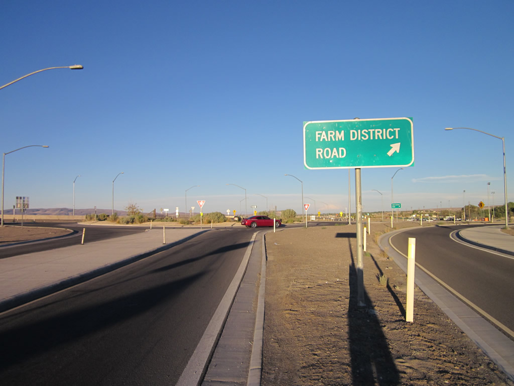
Unmarked from Main Street, SR 828 follows Farm District Road through residential areas of eastern Fernley. The state route reconnects with U.S. 50 Alternate in 8.2 miles.
07/31/12
East 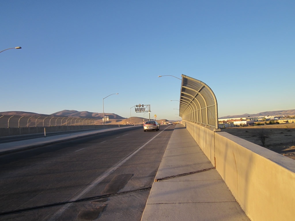
Business Loop I-80/U.S. 95 Alternate north cross a viaduct above a Union Pacific Railroad line to the immediate north of Main Street.
07/31/12

A confirming marker for U.S. 95 Alternate north stands alongside a trailblazer for I-80 (taking the place of Business Loop I-80) just beyond the UP Railroad underpass.
07/31/12
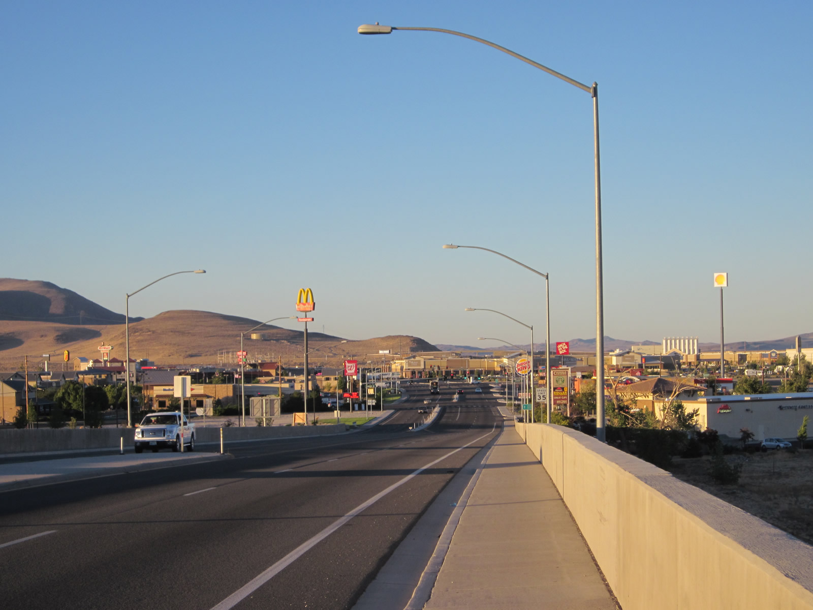
An array of motorist services line Business Loop I-80 to the ramps with Interstate 80. Precious few services are available between Fernley and Lovelock along I-80 east / U.S. 95 ALT north.
07/31/12

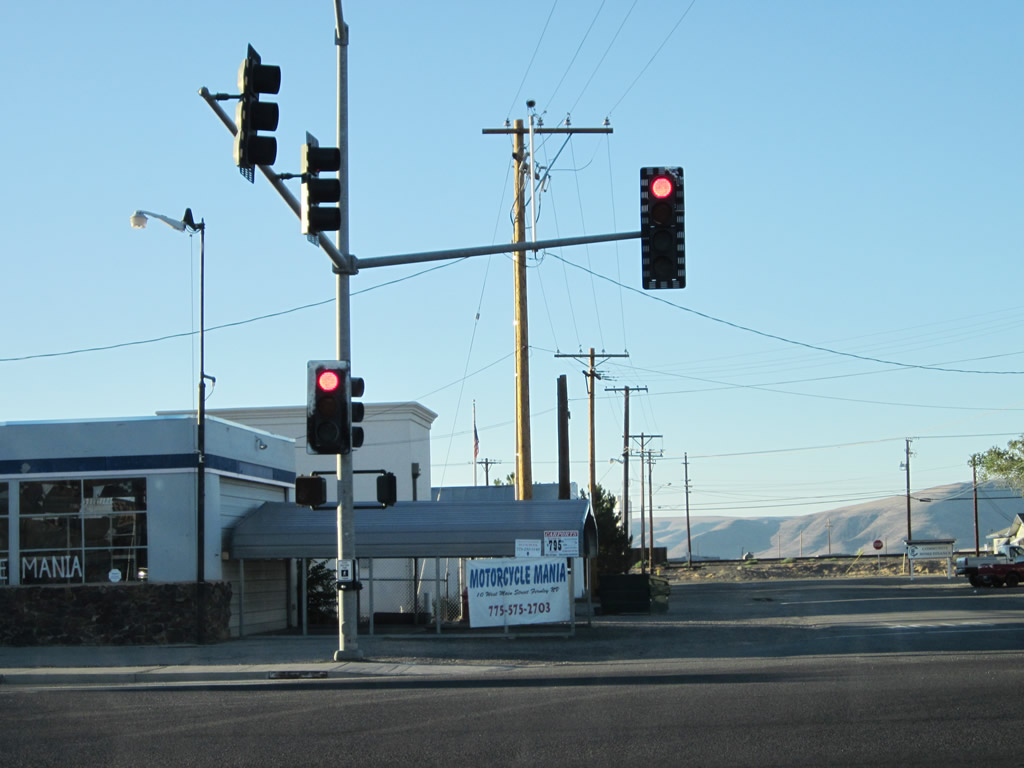
Chisholm Trail north and Fremont Street east come together at the subsequent signal along U.S. 95 Alternate northbound. Fremont Street leads west into residential areas.
07/31/12
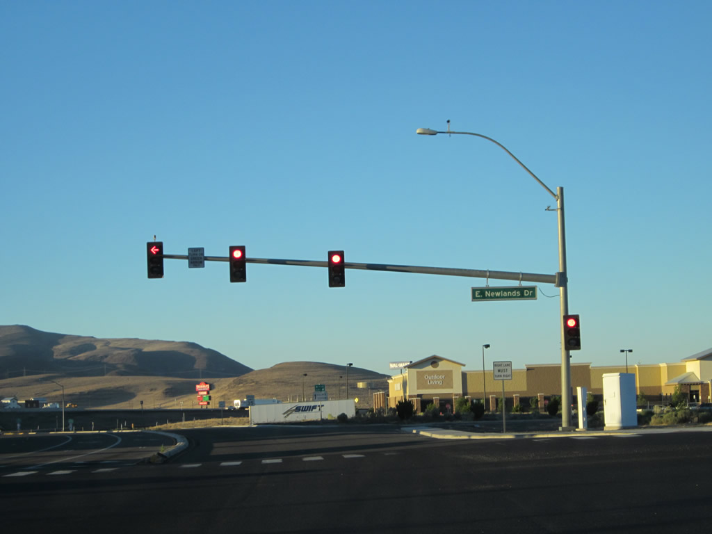
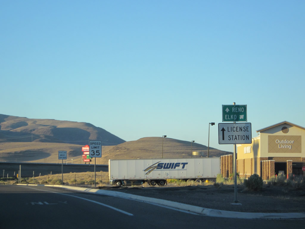
Newlands Drive follows as the succeeding signal east to big box retail and a business/technology park.
07/31/12
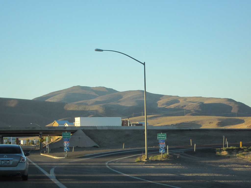
Entering the diamond interchange with Interstate 80, Business Loop I-80 ends and U.S. 95 Alternate turns east with the freeway to Lovelock.
07/31/12
A truck stop lies just north of the westbound on-ramp to Interstate 80 for Reno and Sacramento, California.
07/31/12
Photo Credits:
- Andy Field: 07/31/12
Connect with:
Page Updated Wednesday July 12, 2017.