
U.S. 98 West - Bay County

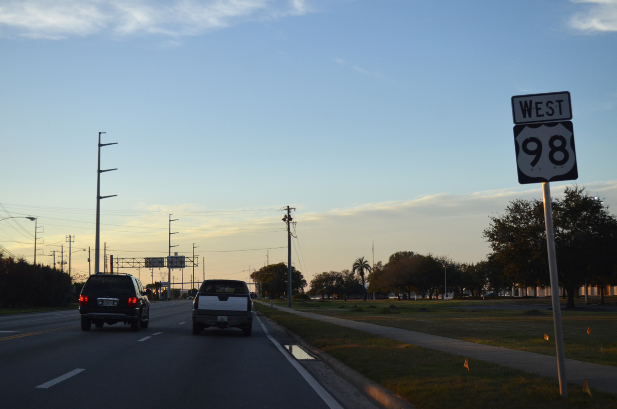
 West
West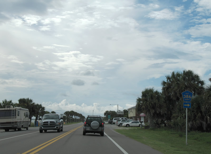
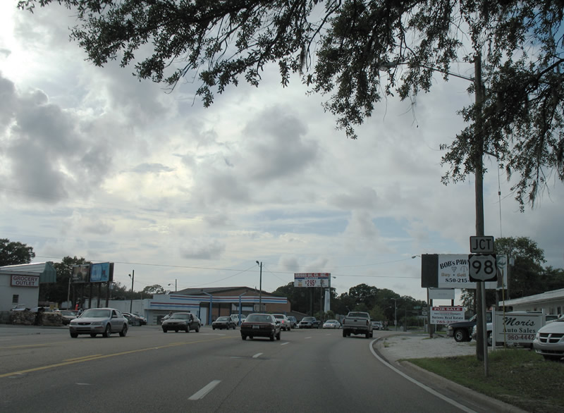
Gulf County Road 386 stems north from U.S. 98 at the Bay County line to Overstreet, Early and SR 71 south of Wewahitchka.
07/31/06
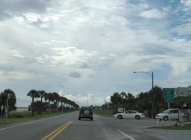
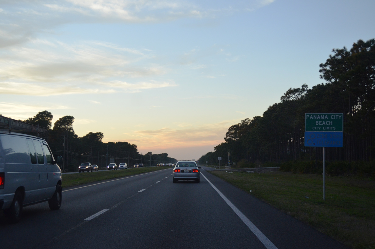
U.S. 98 crosses into Bay County at Mexico Beach and the boundary between Eastern and Central Time Zone.
07/31/06
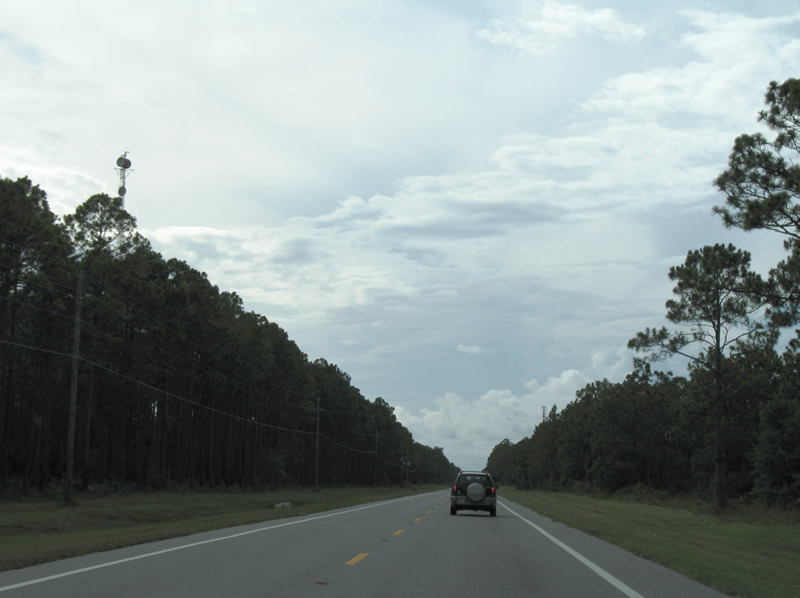
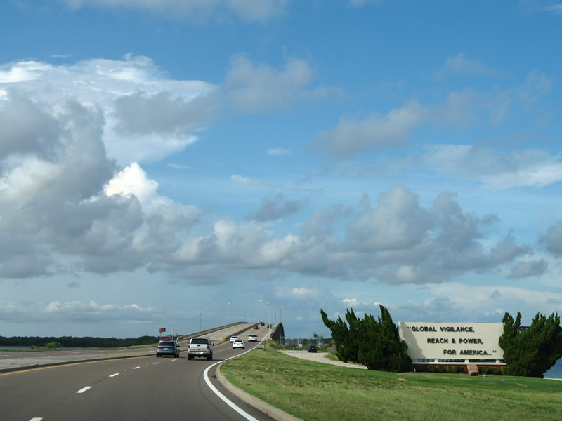
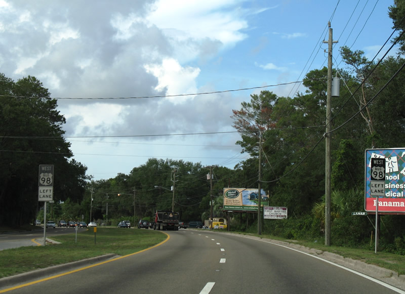
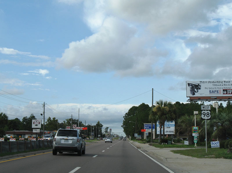
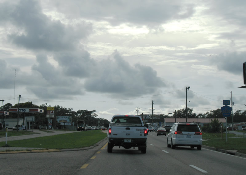
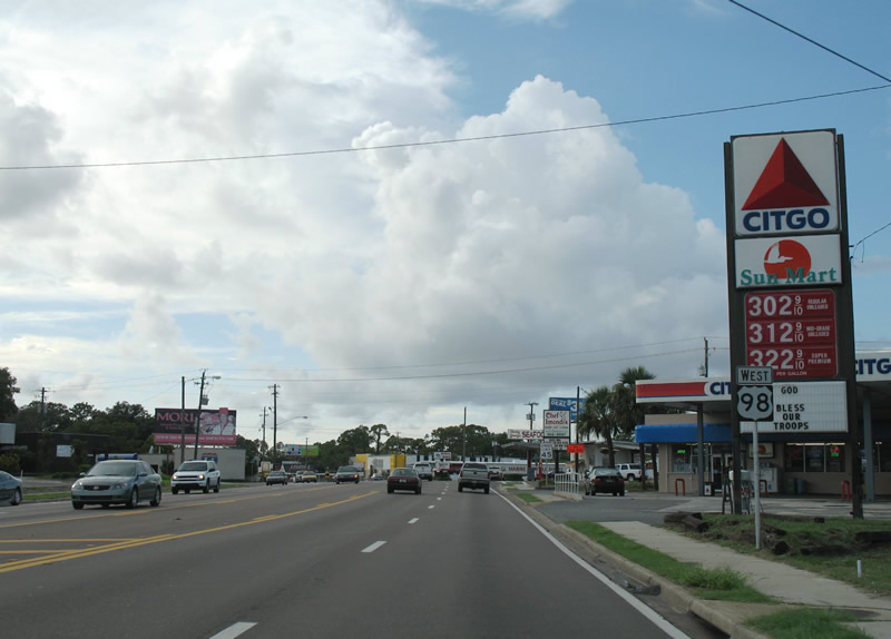
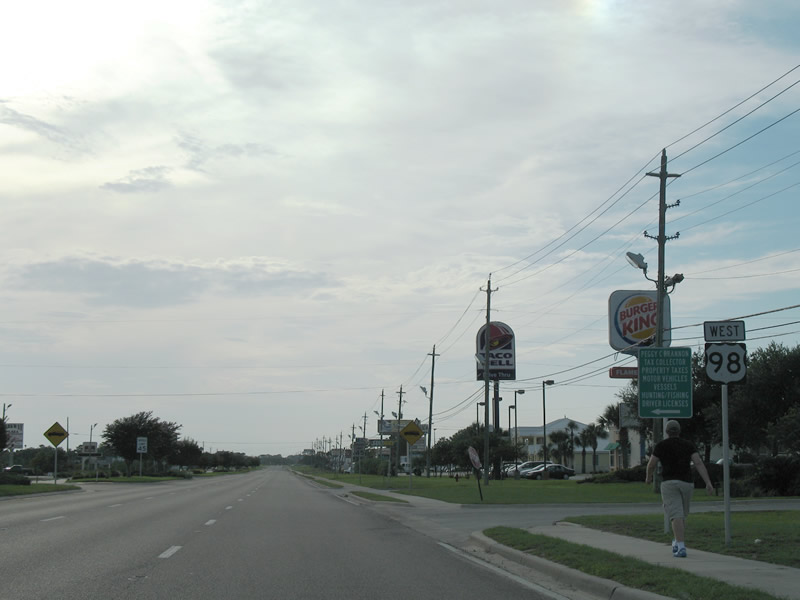
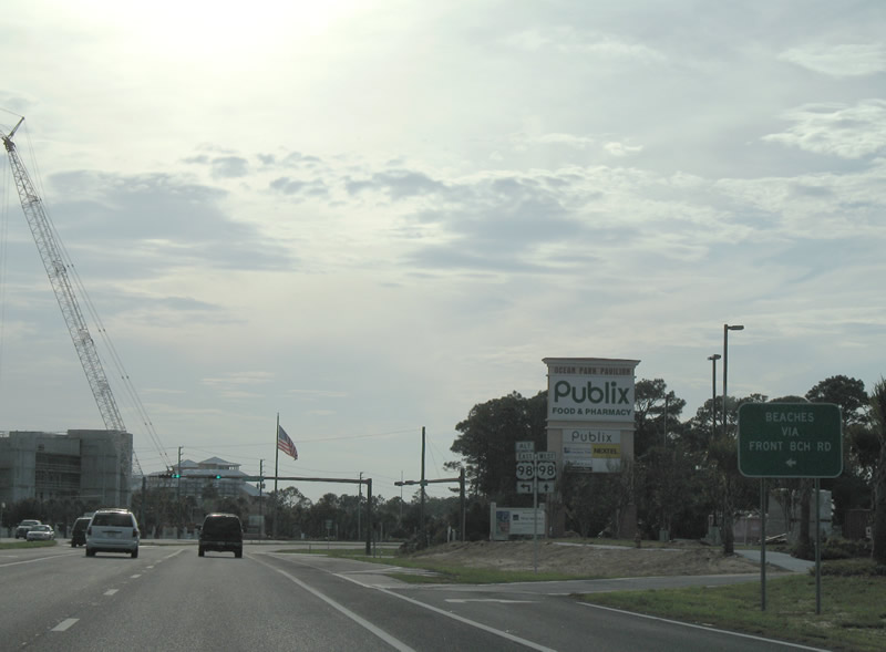
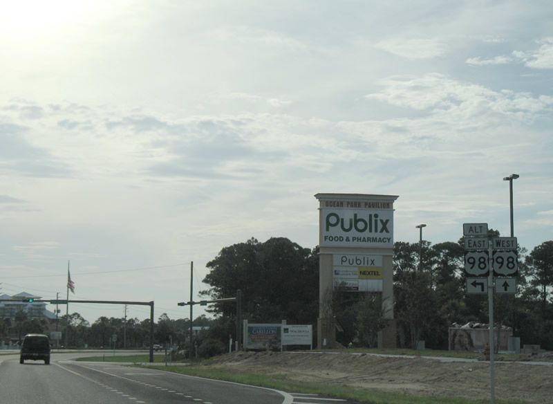
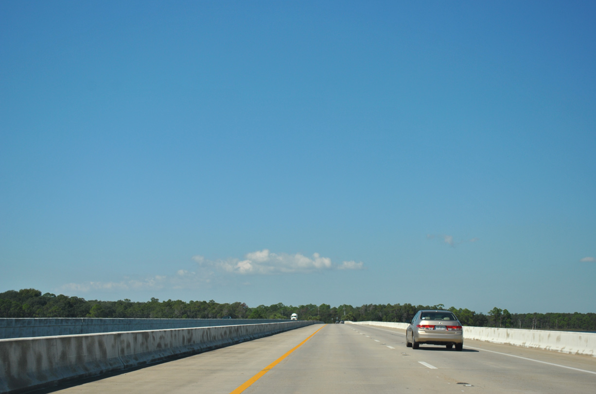
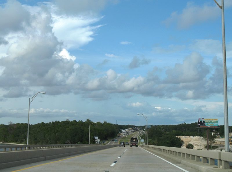
Westbound reassurance shield posted after Gulf County Road 386. U.S. 98 travels along slow moving two lane roadway through the city of Mexico Beach.
The community of 1,200 was devastated by the landfall of Hurricane Michael during the afternoon of October 10, 2018.
06/27/09
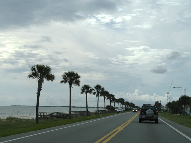
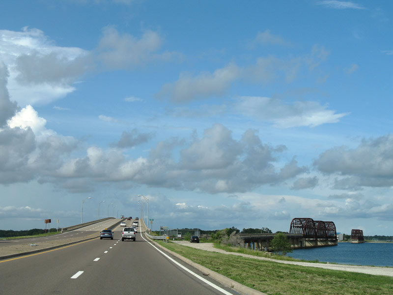
The U.S. 98 drive in southeastern Bay County initially hugs the Gulf of Mexico coastline.
07/31/06

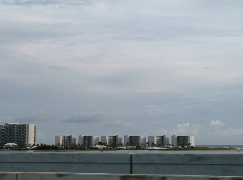
Damaged extensively by Hurricane Michael, the largest building within Mexico Beach is the El Governor Motel. The city otherwise consists of a narrow street grid mainly along the coast.
07/31/06
A short distance west of Mexico Beach is the entrance to Tyndall Air Force Base. U.S. 98 remains with two lanes through vast forest and wetlands through the installation.
07/31/06
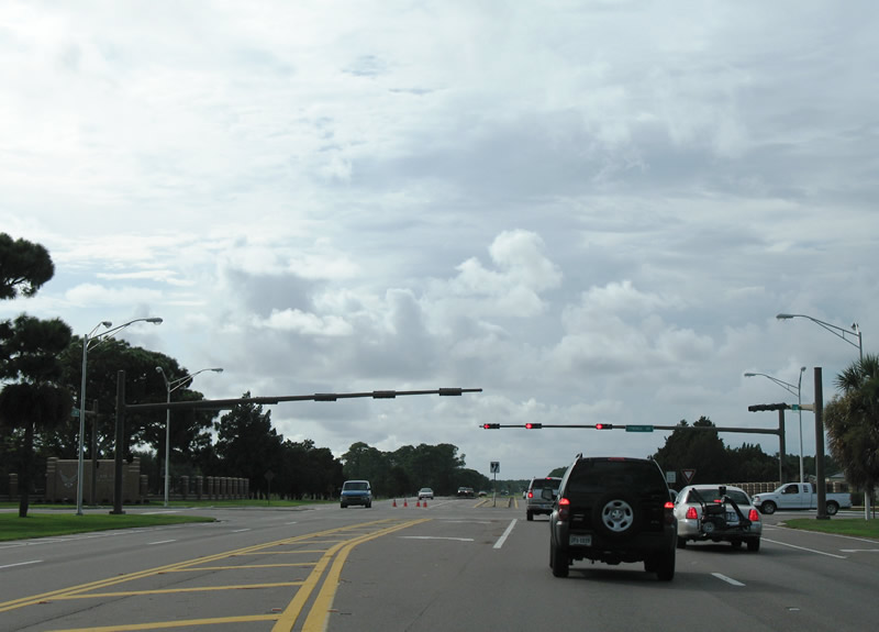
Airey Avenue provides the access to the Main Gate for Tyndall Air Force Base. Tyndall Drive ties in from the north, serving the main operations of the base. Construction starting in late 2018 replaces the at-grade intersection here with a single point interchange.
07/31/06
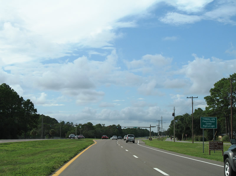
Sabre Drive provides access to northwest reaches of Tyndall AFB including housing areas at Wood Manor, Felix Lake and Redfish Point. The Tyndall AFB Visitors Center lies at the northeast corner of U.S. 98 and Sabre Drive.
07/31/06
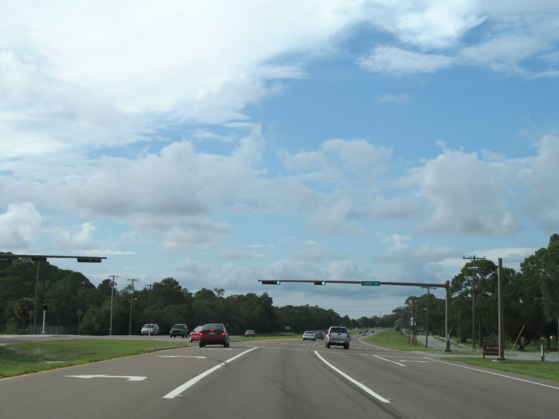
Sabre Drive travels west beyond a Tyndall A.F.B. gate to Redfish Point Road. The Bayview subdivision lies just ahead on U.S. 98 (Tyndall Parkway).
07/31/06
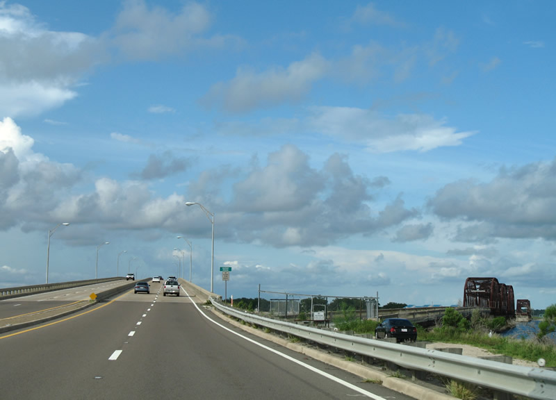
Curving northeast toward the DuPont Bridge over St. Andrew Bay, U.S. 98 leaves Tyndall Air Force Base.
07/31/06
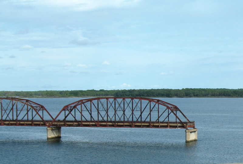
Two segments of the 1929 truss bridge that historically carried U.S. 98 northeast into Callaway remained in place east of the 1965-completed DuPont Bridge. These structures were subsequently demolished.
07/31/06
The DuPont Bridge is typical of 1960s era construction with concrete guard rails and no shoulders. Measuring 2,748 feet in length, the four lane span crests at 49.9 feet above the Intracoastal Waterway.1
07/31/06
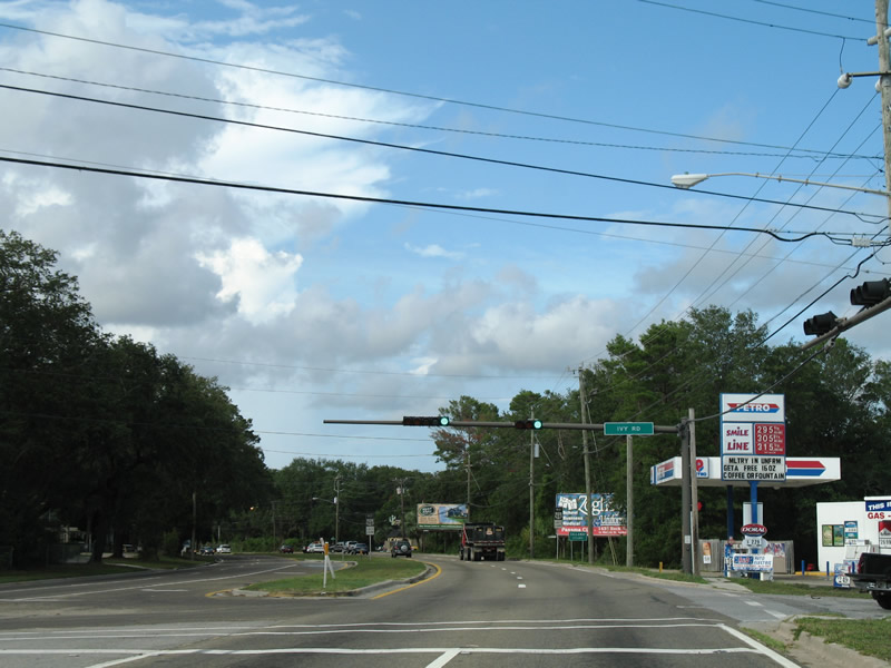
Tyndall Parkway enters the city of Parker adjacent to Long Point. The succeeding traffic light to the northeast is with Ivy Roads east to East Lake in adjacent Callaway.
07/31/06
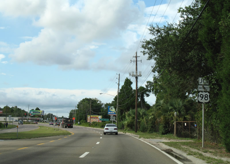
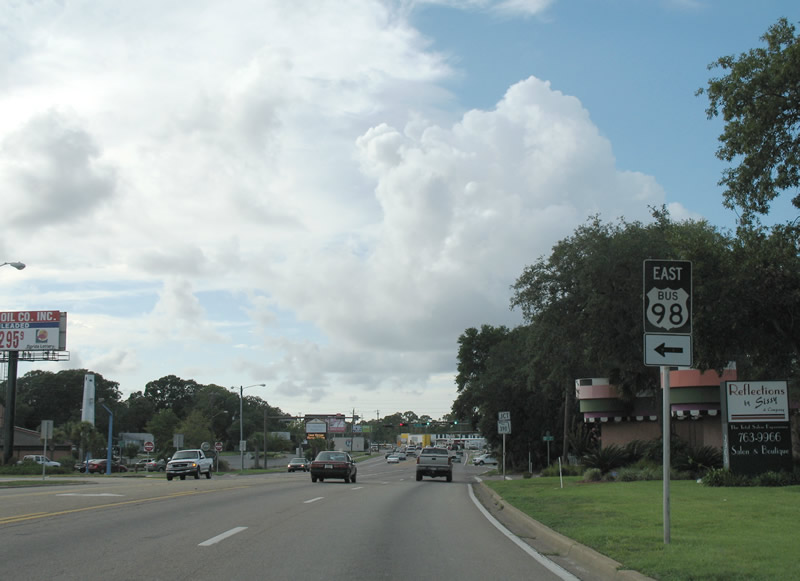
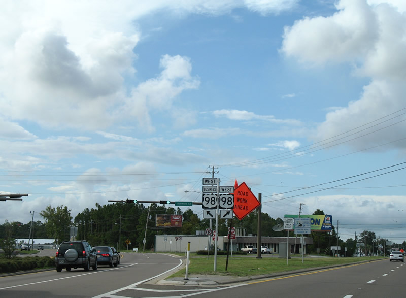
Vintage U.S. 98 business signs previously posted ahead of the U.S. 98 split with its business loop through Parker. U.S. 98 Business meanders northwest through Springfield to Downtown Panama City on a slow moving route south of the U.S. 98 mainline.
07/31/06
U.S. 98 (Tyndall Parkway) veers north from the split with U.S. 98 Business along the Parker and Callaway city line. U.S. 98 Business turns west toward Parker city hall and Martin Bayou.
07/31/06

The westbound separation of U.S. 98 (Tyndall Parkway) with U.S. 98 Business. SR 30 follows the business loop while U.S. 98 carries the hidden designation of SR 30A north to Cedar Grove.
07/31/06
Continuing north along the Parker and Callaway city line on U.S. 98 (Tyndall Parkway).
07/31/06
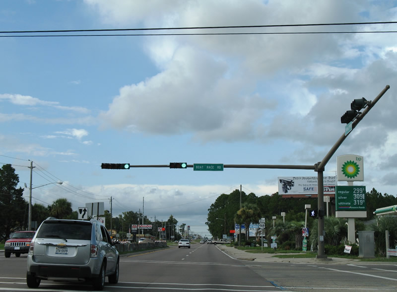
Boat Race Road provides a second opportunity to access U.S. 98 Business west from Tyndall Parkway. The road continues east to Berthe Avenue and Bay County Road 2323.
07/31/06
Reassurance shield posted along Tyndall Parkway north after Boat Race Road.
07/31/06
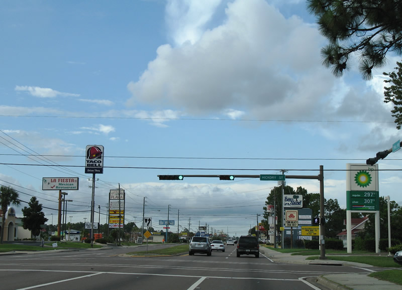
Hickory Street crosses U.S. 98 (Tyndall Parkway) at this traffic light. The local road stems west to Martin Bayou and east to Bert Fox Pond.
07/31/06
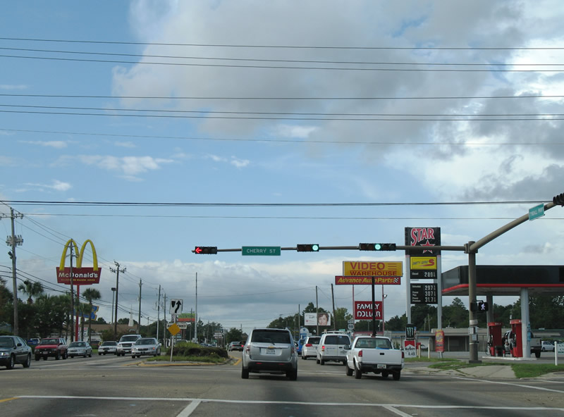
Cherry Street leads west from U.S. 98 along the Parker and Callaway City line into Springfield at Martin Bayou. Eastward, Cherry Street meets CR 2323 (Berthe Avenue) before ending at CR 2315 (Star Avenue).
07/31/06
U.S. 98 enters Callaway wholly north of Cherry Street.
07/31/06
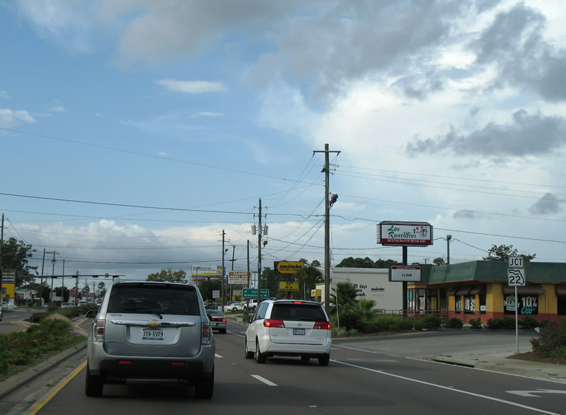
Next in line along Tyndall Parkway north is the junction with SR 22 (Wewa Highway).
07/31/06
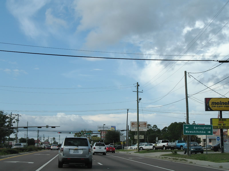
SR 22 joins Panama City with Wewahitchka and SR 71 in Gulf County. The state road continues east from Callaway to East Bay.
07/31/06
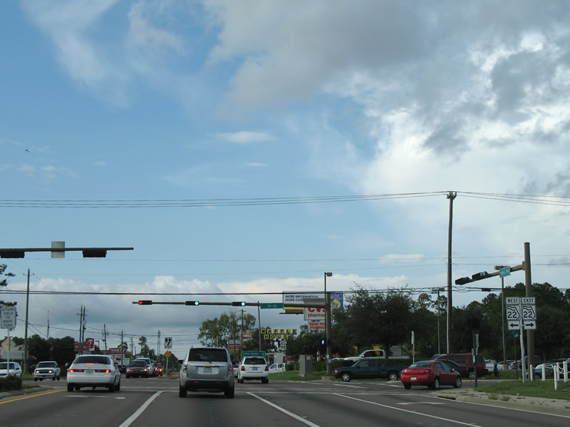
West of U.S. 98, SR 22 (Wewa Highway) spans Martin Bayou into Springfield. The state road ends at U.S. 98 Business via East 3rd Street.
07/31/06
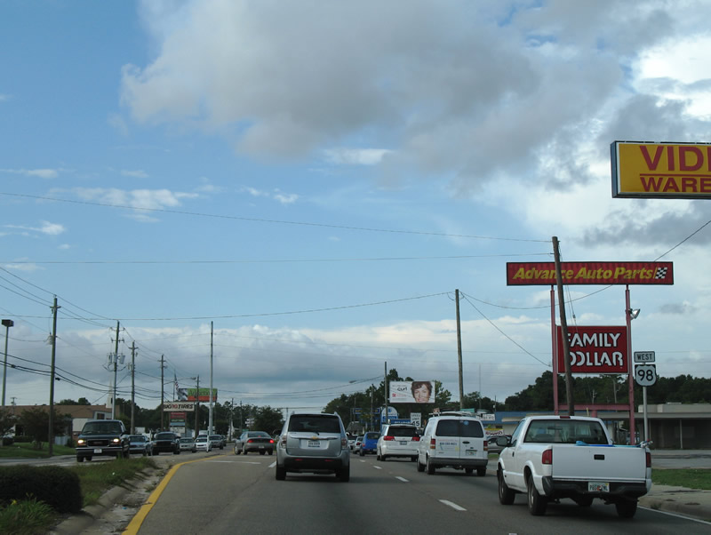
Tyndall Parkway transitions into more of a commercial arterial than a tree lined boulevard as it progresses north through Callaway.
07/31/06
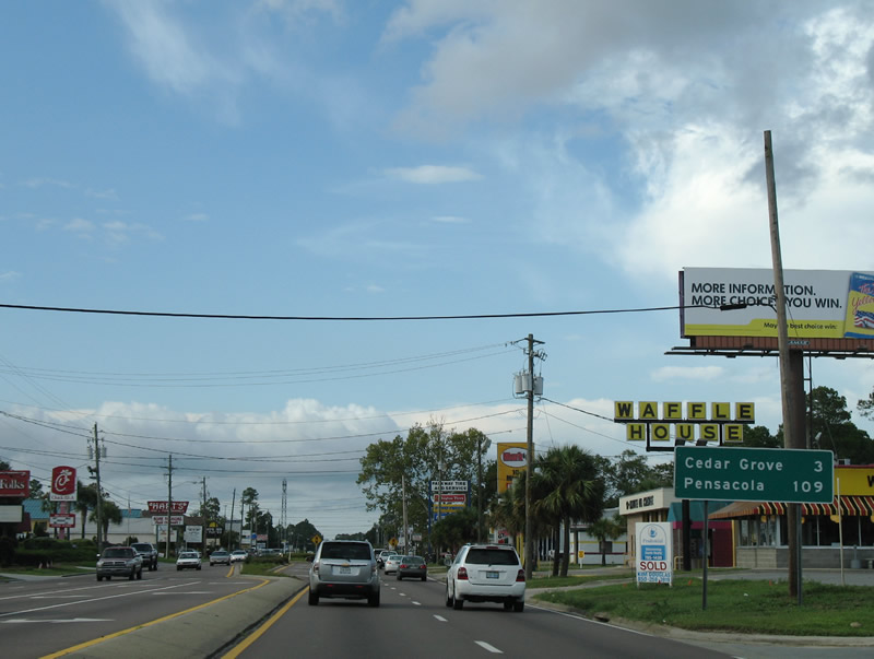
Cedar Grove lies three miles ahead on U.S. 98 westbound. The town deincorporated in 2008.
07/31/06
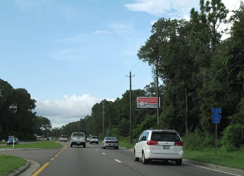
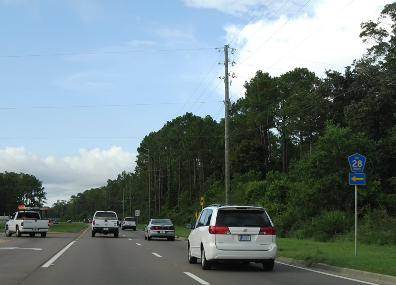
Bay County Road 28 (East 11th Street) begins from U.S. 98 (Tyndall Parkway) at the Callaway and Springfield city line.
07/31/06
11th Street carries all of Bay County Road 28 between U.S. 98 and U.S. 98 Business (Beck Avenue) through Springfield, Cedar Grove and Panama City.
07/31/06
U.S. 98 leaves Tyndall Parkway in name at the intersection with Tram Road north of the Springfield city line.
07/31/06
Turning due west, U.S. 98 (East 15th Street) approaches Bay County Road 2327 (Transmitter Road).
07/31/06
County Road 2327 travels north to U.S. 231 near Brannonville and SR 390 at Lynn Haven and south to SR 22 (East 3rd Street) in Springfield.
07/31/06
Continuing west from Transmitter Road (CR 2327) to unincorporated Cedar Grove on U.S. 98.
07/31/06
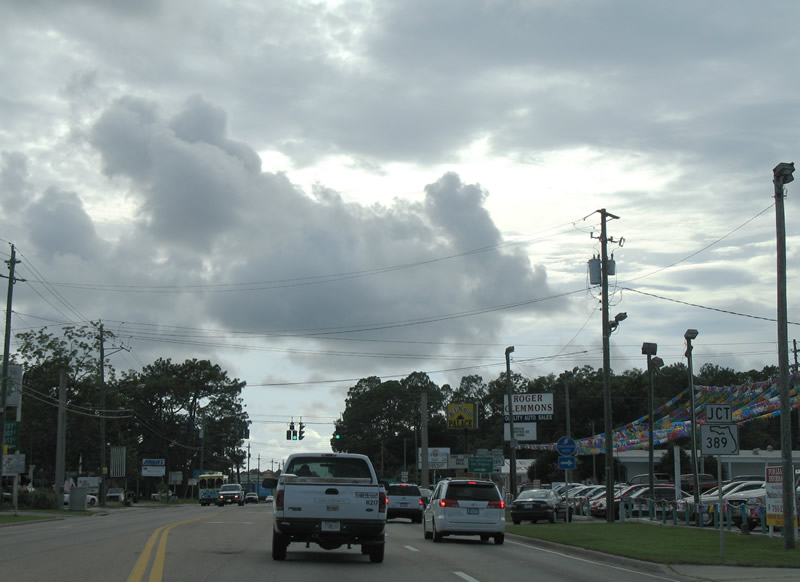
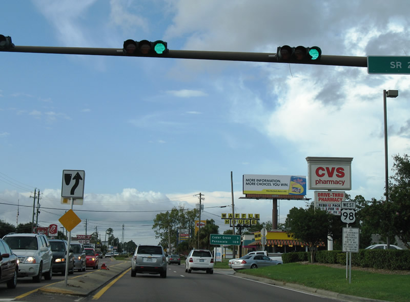
SR 389 (East Avenue) crosses U.S. 98 (East 15th Street) at Cedar Grove. The state road travels south to U.S. 98 Business in Springfield.
07/31/06
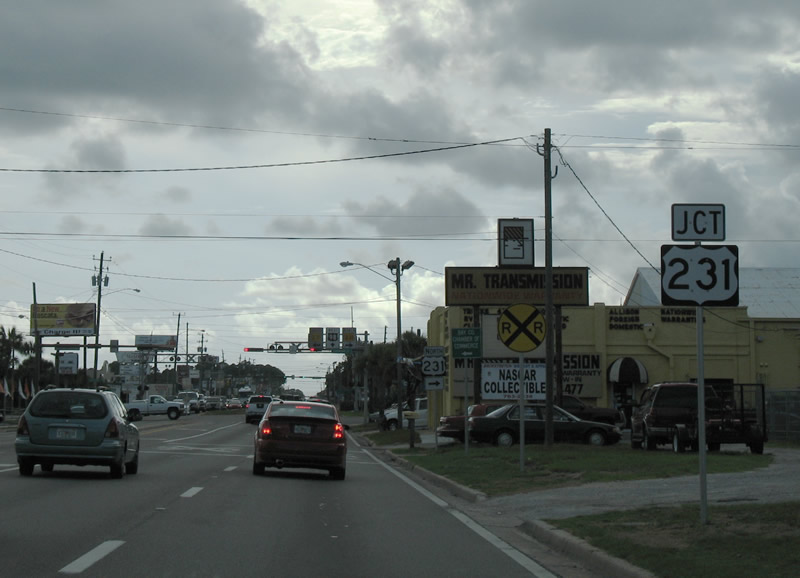
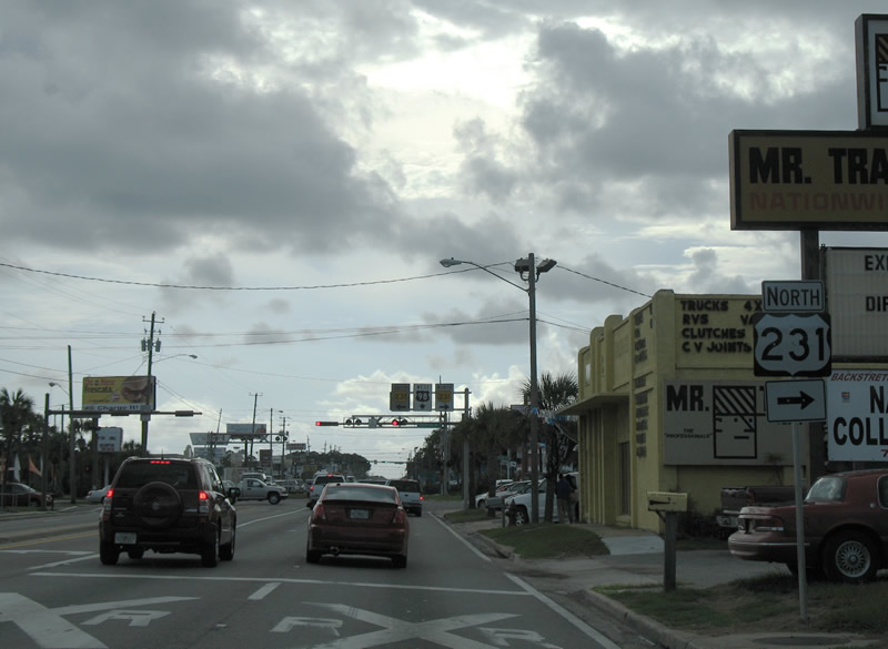
U.S. 98 west at SR 389 (East Avenue). The state road heads north 1.75 miles to U.S. 231 and County Road 389 at Hiland Park.
07/31/06
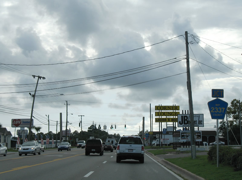
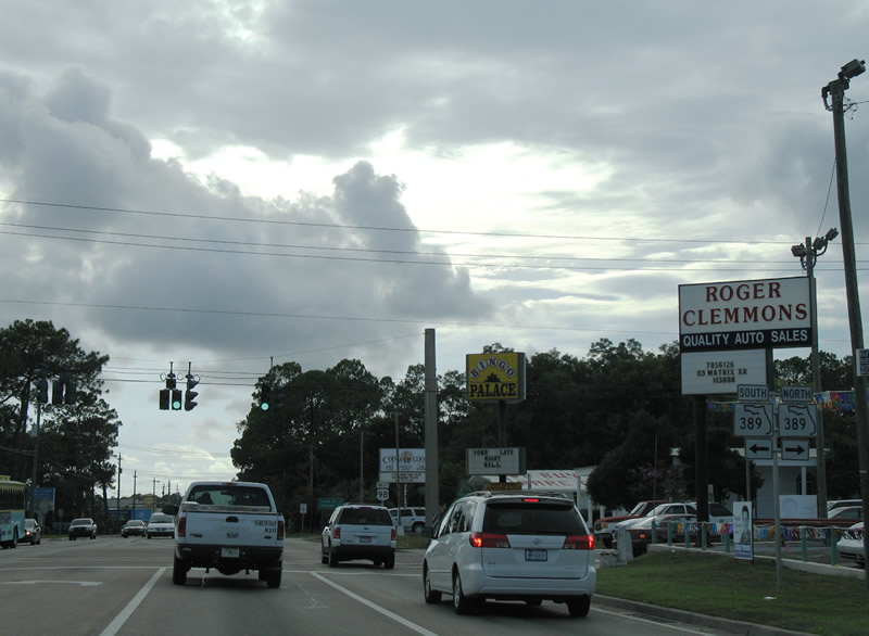
Advancing a half mile west of SR 389, U.S. 98 intersects CR 2337 (Sherman Avenue). Bay County Road 2337 follows Sherman Avenue south 1.25 miles to U.S. 98 Business (East 5th Street) in Panama City.
07/31/06
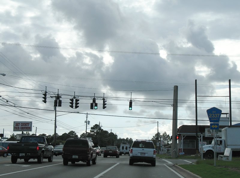
Bay County Road 2337 (Sherman Avenue) extends 1.36 miles north of U.S. 98 through Cedar Grove to SR 389 (East Avenue).
07/31/06
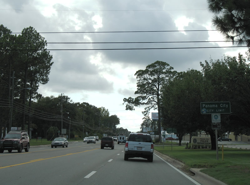
U.S. 98 (East 15th Street) enters Panama City west of Redwood Avenue.
07/31/06
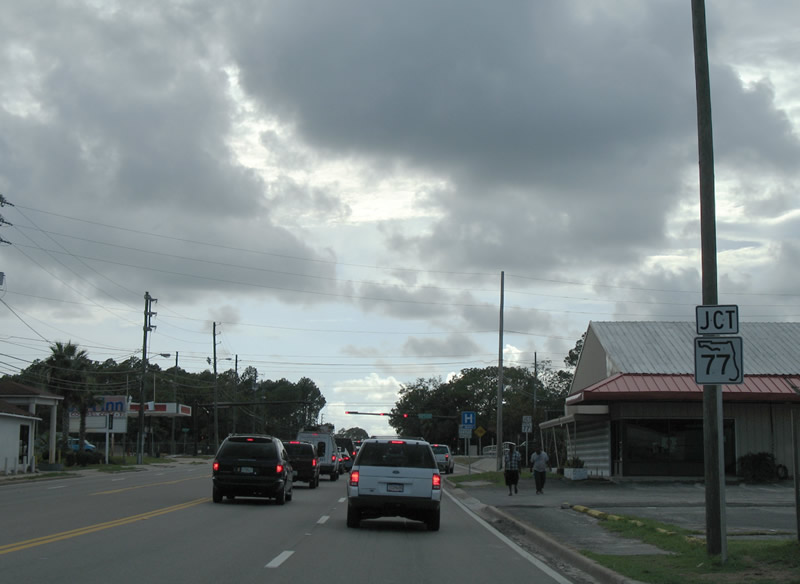
SR 77, one of three routes leading north from Bay County to Interstate 10, meets U.S. 98 via Martin Luther King, Jr. Boulevard next.
07/31/06
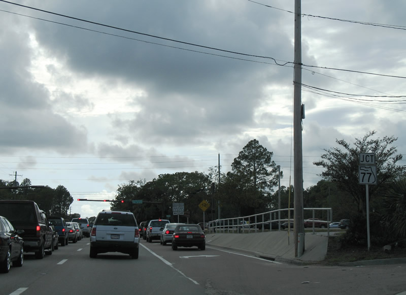
A second junction shield posted for SR 77 on U.S. 98 (East 15th Street) west. SR 77 constitutes a four lane highway north from U.S. 98 Business in Panama City to the Washington County line.
07/31/06
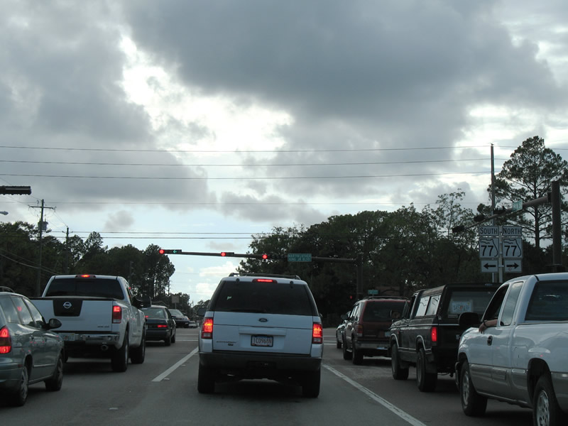
Entering the busy intersection with SR 77 (Martin Luther King, Jr. Boulevard) on U.S. 98 (East 15th Street) west. The state road joins Panama City with Lynn Haven before crossing North Bay.
07/31/06
Westbound reassurance shield posted after Martin Luther King, Jr. Boulevard.
07/31/06
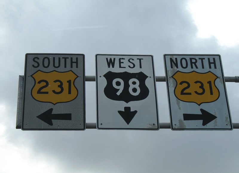
U.S. 231 enters Panama City from Youngstown and Hiland Park to the northeast. The US highway turns southward onto Harrison Avenue toward historic Downtown Panama City at U.S. 98 (15th Street).
07/31/06
U.S. 231 provides the main route to Interstate 10 and Dothan, Alabama for tourists and hurricane evacuation from the beaches of Bay County. The highway carries four overall lanes into Lower Alabama.
07/31/06

U.S. 231 southwest, Harrison Avenue (SR 391 to the north) and the Bay Line Railroad converge with U.S. 98 at a five-way intersection.
07/31/06
Previous overhead assemblies in both directions of 15th Street retained the old color scheme for U.S. 98 and 231 at Harrison Avenue. Both signs were replaced, with the westbound assembly staying in place through 2009.
07/31/06
Advancing west from the confluence with U.S. 231, Harrison Avenue and SR 391 north to Airport Road.
07/31/06
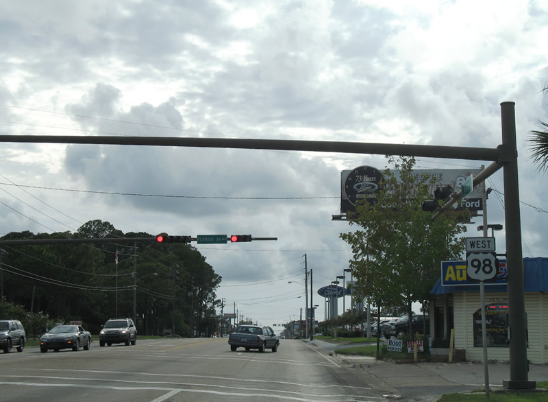
U.S. 98 west at Florida Avenue. Florida Avenue leads south to Bay County Road 28 (11th Street) at Jinks Middle School
07/31/06
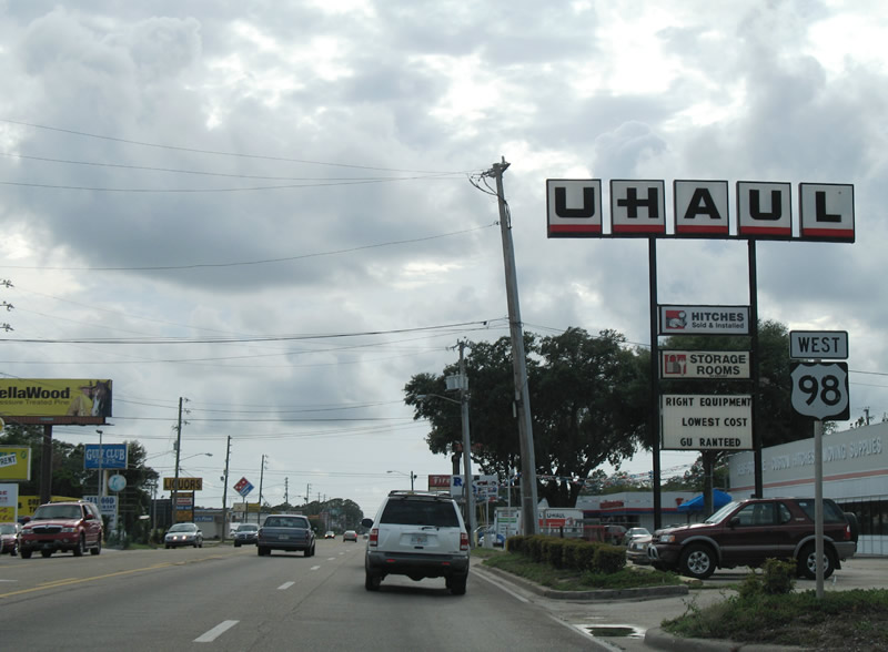
Westbound U.S. 98 (West 15th Street) after the intersection with Balboa Avenue.
07/31/06
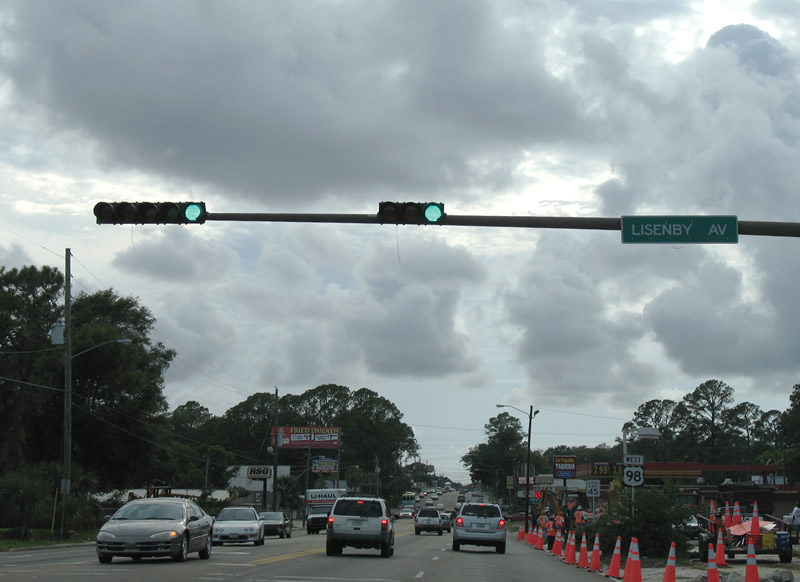
Lisenby Avenue intersects U.S. 98 (West 15th Street) by a pair of shopping centers in west Panama City. CR 327 (unsigned here) leads north 1.001 miles along Lisenby Avenue to SR 327 at SR 368 (West 23rd Street).
07/31/06
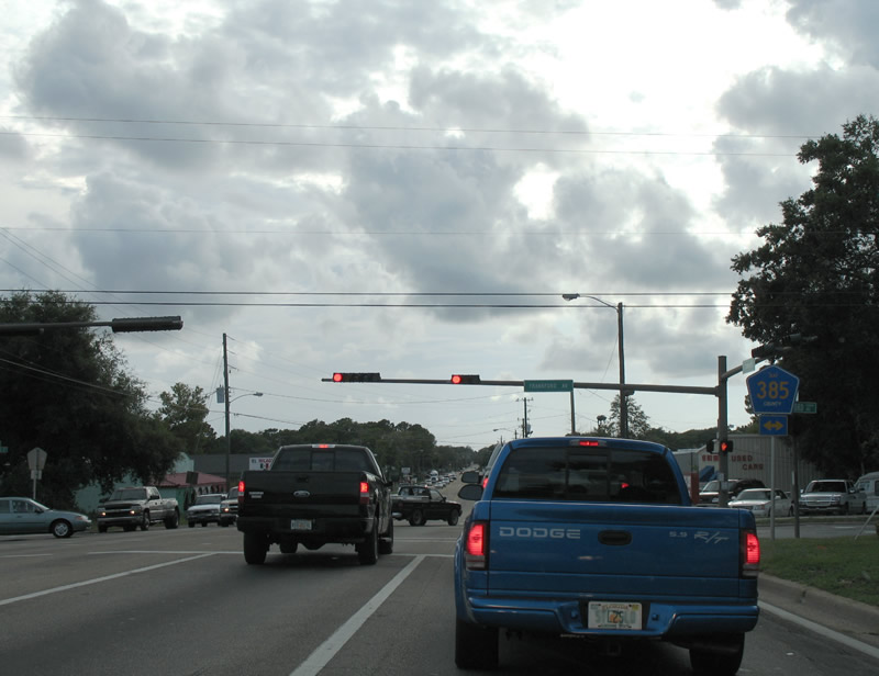
Routine traffic congestion continues along U.S. 98 (west 15th Street) west to CR 385 (Frankford Avenue). Bay County Road 385 follows Frankford Avenue south to U.S. 98 Business (West 9th Street) and north to Robinson Bayou.
07/31/06
U.S. 98 navigates northwest along an S-curve from West 15th Street to West 18th Street between Drake and Deer Avenue by Lake Huntington. U.S. 98 Business returns to U.S. 98 via Beck Avenue north from St. Andrews.
07/31/06
West 16th Street links U.S. 98 west with U.S. 98 Business south along Beck Avenue. U.S. 98 Business runs along the St. Andrew Bayshore east back to Downtown Panama City.
07/31/06
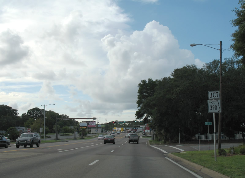
SR 390 extends Beck Avenue north from U.S. 98 Business to SR 368 (West 23rd Street) at St. Andrews Boulevard.
07/31/06
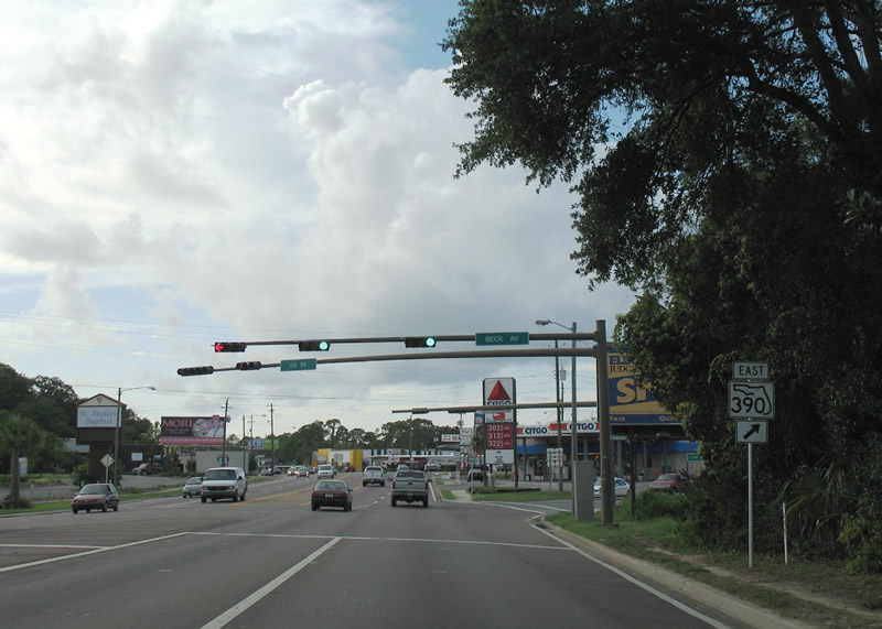
SR 390 is a 10.1 mile loop joining west Panama City with the site of Panama City Bay County International Airport and the city of Lynn Haven. The state road meets SR 77 (Ohio Avenue) 5.8 miles to the northeast.
07/31/06
Advancing northwest along U.S. 98 between SR 390 and Deer Avenue
07/31/06
The 23rd Street Flyover project underway through winter 2019 upgrades U.S. 98 west from Brown Avenue to the Hathaway Bridge. Construction adds a wye interchange with the west end of SR 368 (23rd Street).
07/31/06

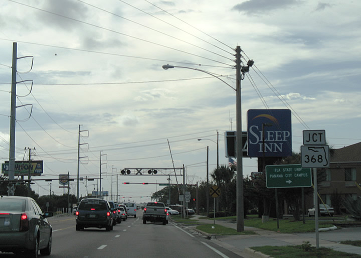
SR 368 winds northeast along West 23rd Street by Gulf State College to Bayview and Pretty Bayou. The four lane boulevard provides a bypass of U.S. 98 east from the Hathaway Bridge to U.S. 231 near Diego Park.
07/31/06
The 23rd Avenue Flyover project replaces the upcoming signalized intersection with D Avenue and Collegiate Drive (unsigned SR 368A) with a split diamond interchange.
01/16/16
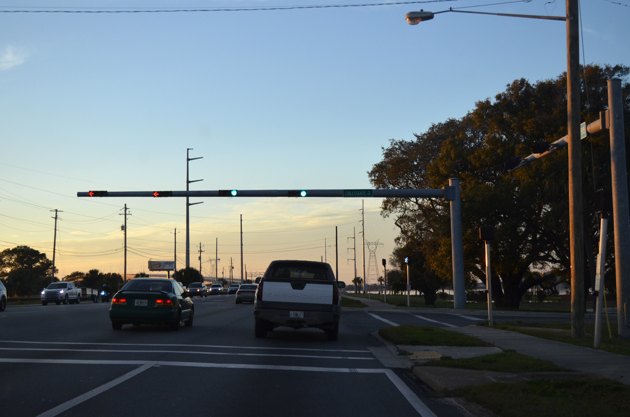
Collegiate Drive encircles Gulf Coast State College east to the Panama City campus of Florida State University (FSU) and SR 368 (23rd Street). Seaport Drive connects with D Avenue and the Port of Panama city to the south.
01/16/16
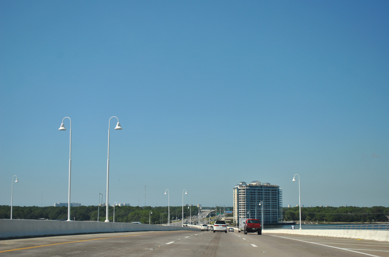
The Hathaway Bridge takes U.S. 98 over the Intracoastal Waterway that links West Bay and St. Andrew Bay. Costing $82.5 million, the 3,800 foot long twin span opened to traffic in May 2004 after four years of construction.2
01/16/16
10/17/11
Replacing a 1960-built four lane bridge, the Hathaway Bridge accommodates six lanes of traffic between Panama City and Panama City Beach. The spans can be restriped to support four 12 foot travel lanes in addition to 10 foot wide inside and outside shoulders.2
01/16/16
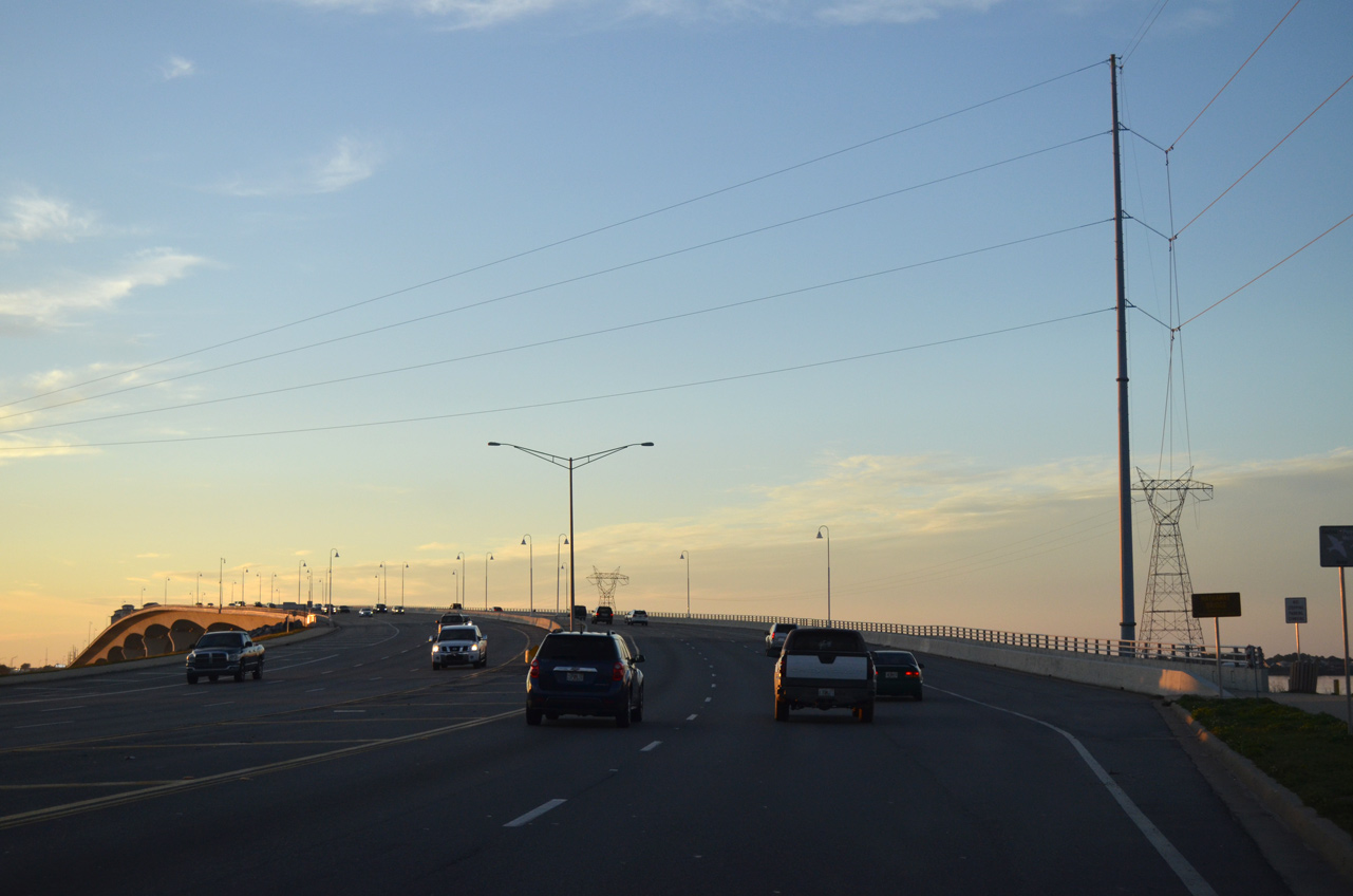
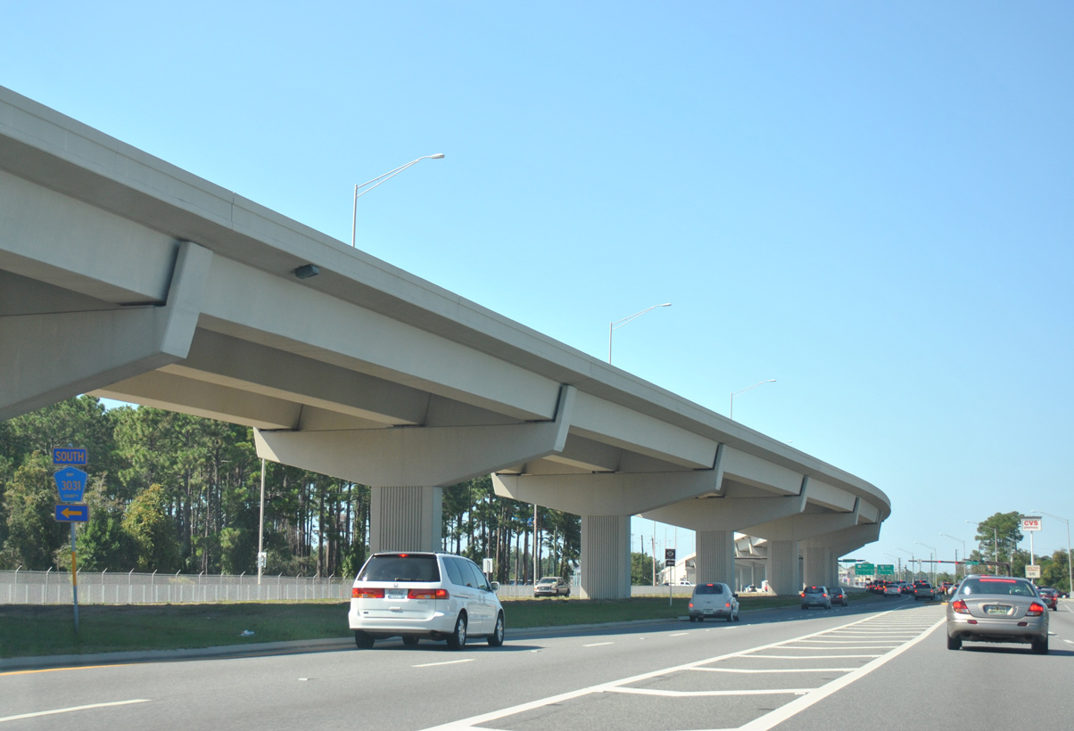
U.S. 98 descends to an at-grade boulevard alongside an eastbound freeway viaduct. An unfunded westbound viaduct was to be built in conjunction with missing ramps to Thomas Drive (CR 3031) from U.S. 98 east.
10/17/11
Woodlawn Drive south intersects U.S. 98 west at the ensuing traffic. Solomons Drive ties into the south side frontage road from the adjacent Naval Surface Warefare Center (NSWC).
01/16/16
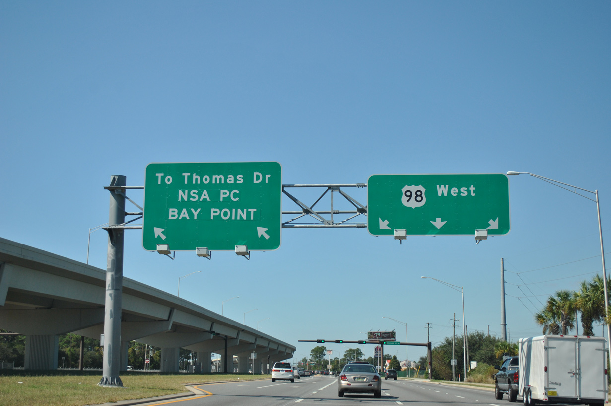
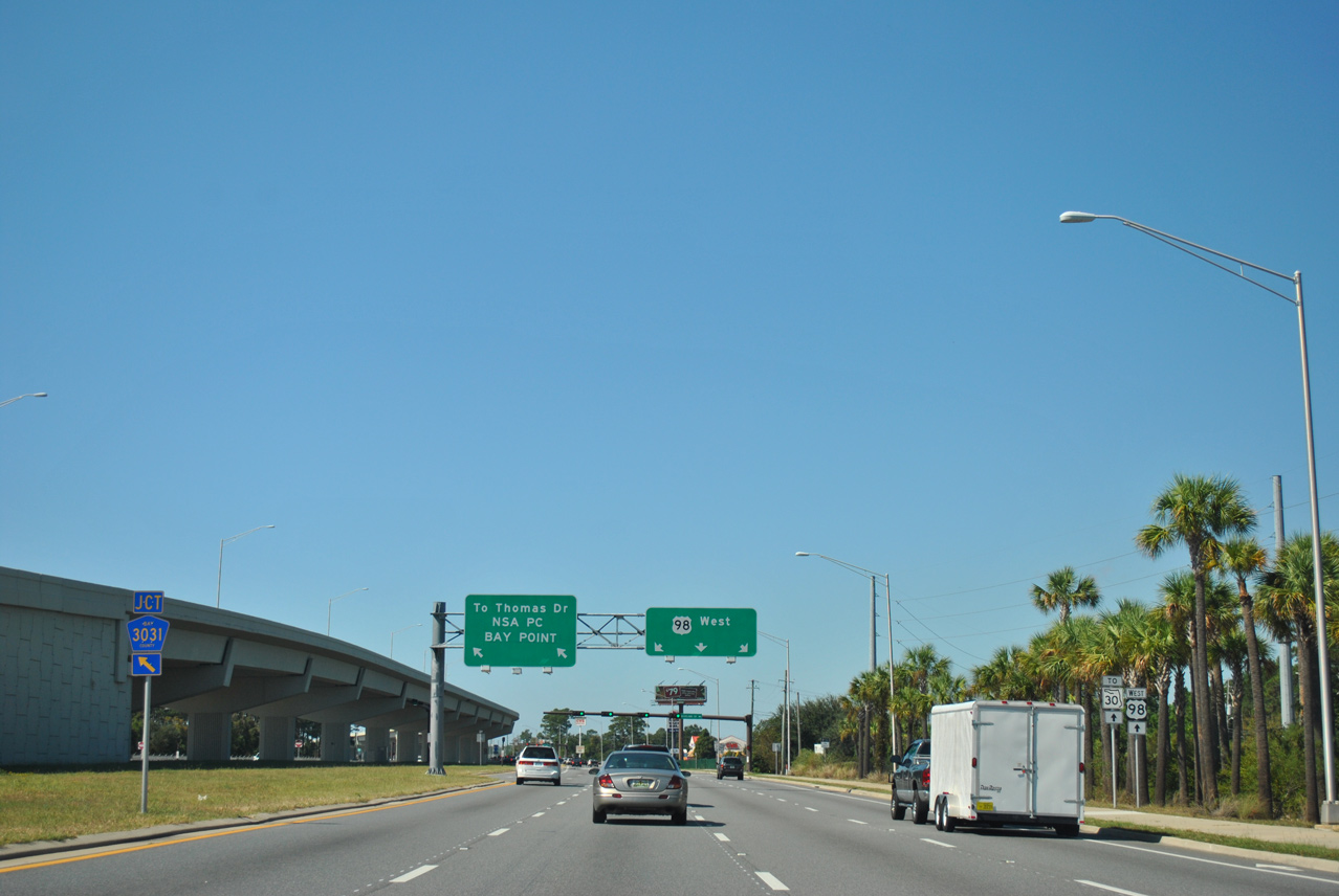
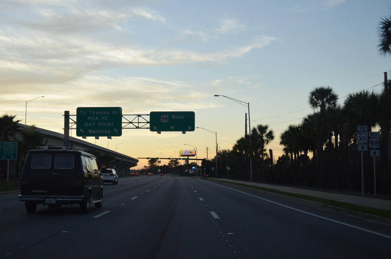
A two lane ramp separates from U.S. 98 west to County Road 3031 (Thomas Drive) south to the NSWC and the Bay Point community along St. Andrew Bay.
10/17/11
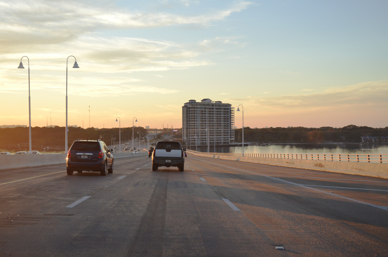
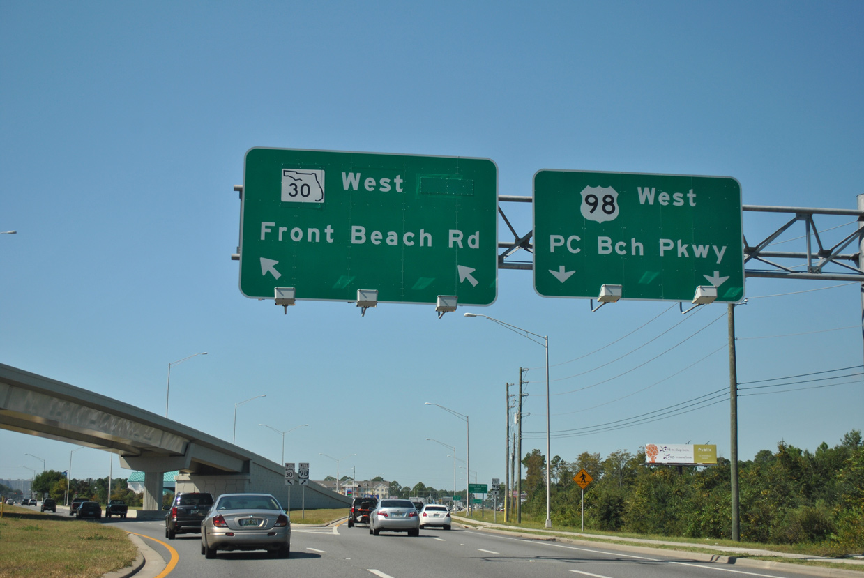
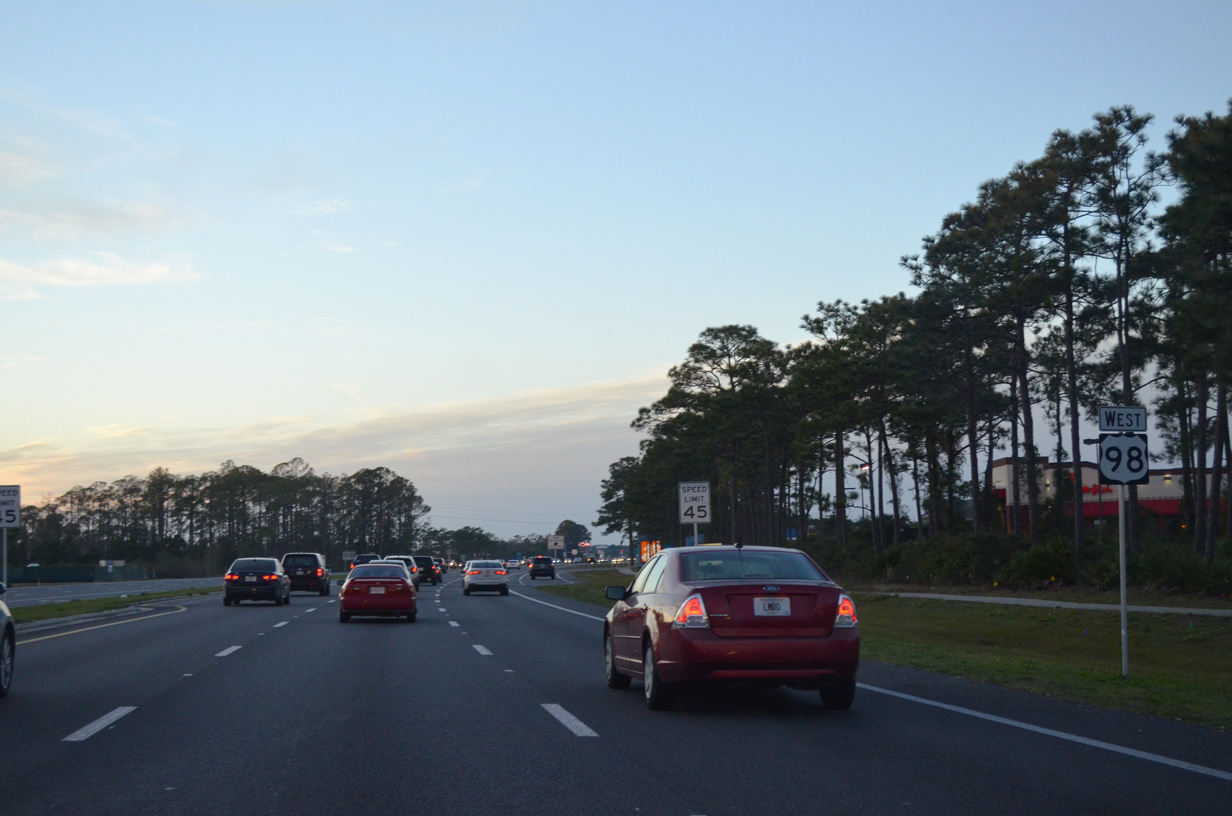
Three lanes continue west along U.S. 98 to SR 30 (Front Beach Road). Front Beach Road is both the former alignment of U.S. 98 Alternate and the historic route of U.S. 98 along the Gulf front through Panama City Beach.
01/16/16
CR 3031 runs 3.63 miles south from U.S. 98 to CR 392 at Lower Grand Lagoon near St. Andrews State Park.
10/17/11
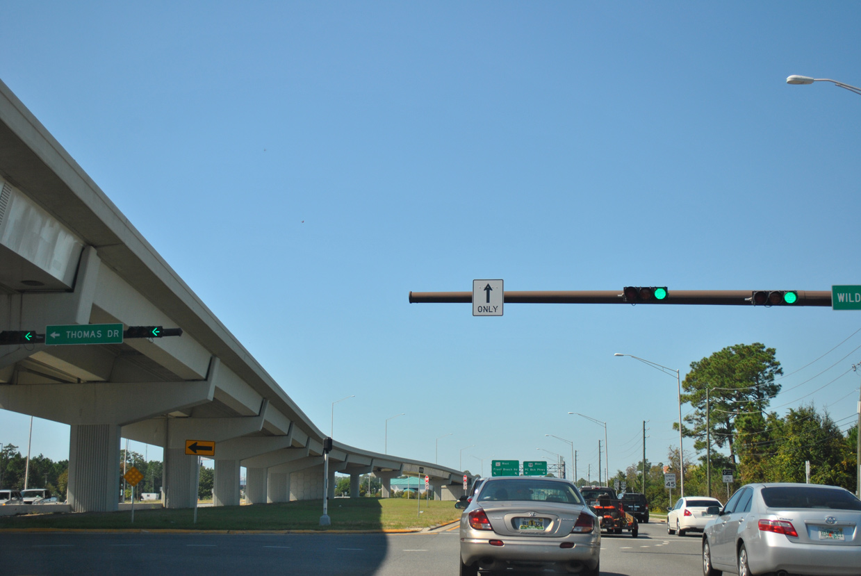
Wildwood Road ties into the signalized intersection with Thomas Drive (CR 3031) from the Bayside Park subdivision and other developments along West Bay.
10/17/11
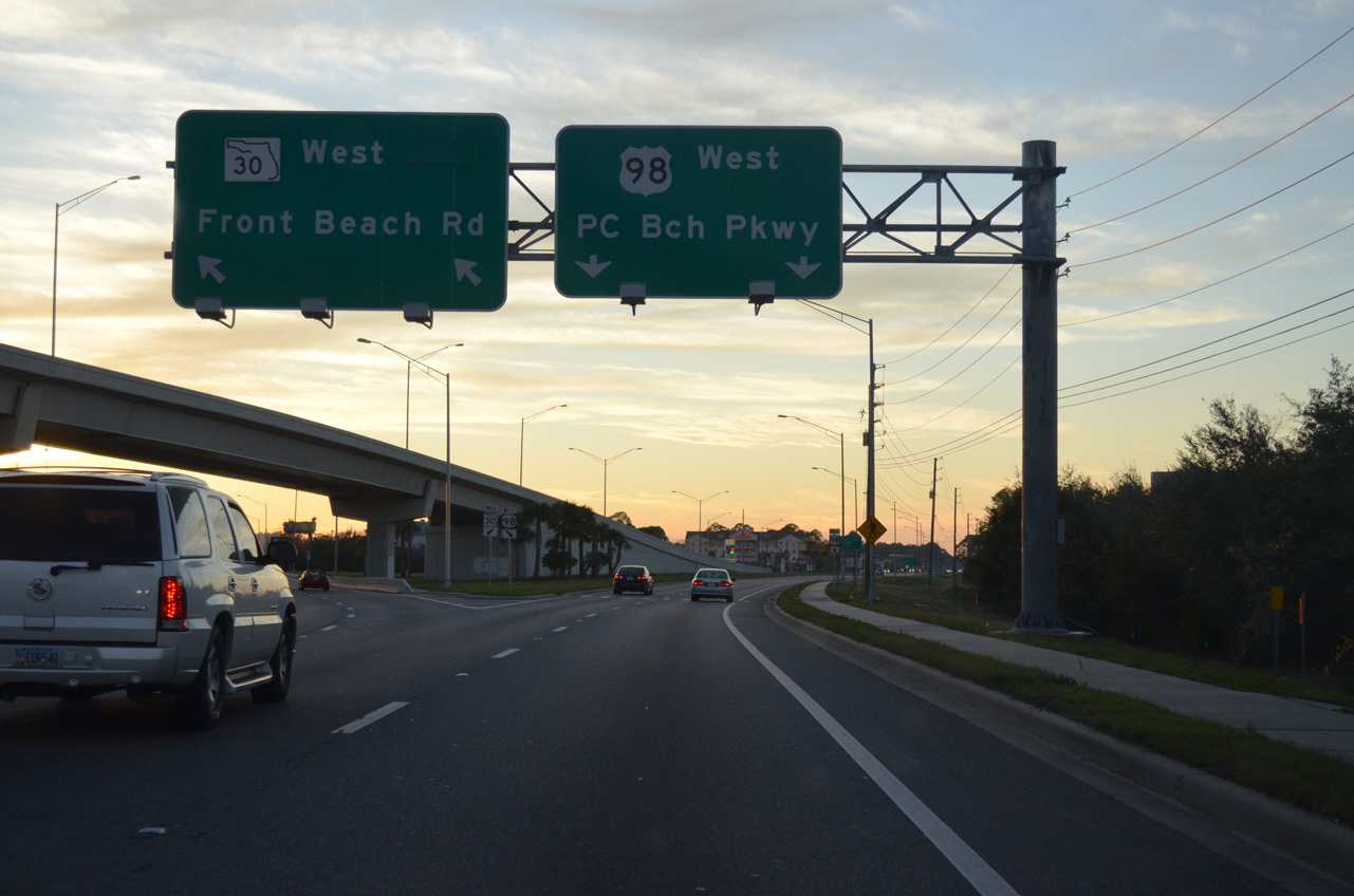
The eastbound U.S. 98 viaduct begins at the wye interchange with Front Beach Road (SR 30) west.
01/16/16
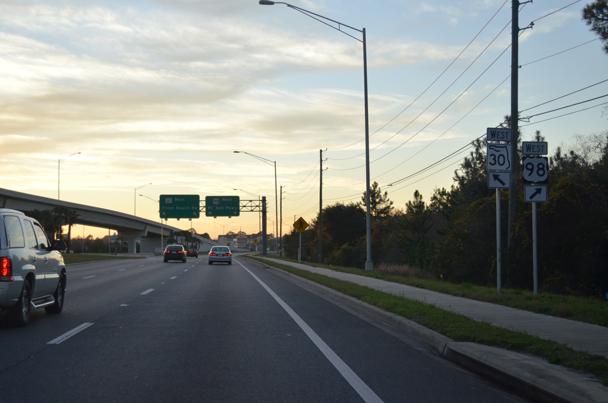
State Road 30 (Front Beach Road) branches southward as U.S. 98 shifts onto Panama City Beach Parkway west. SR 30 / CR 30 returns to U.S. 98 at Carillon Beach near the west end of Bay County.
10/17/11
U.S. 98 Alternate was decommissioned along Front Beach Road in 2006 and eventually reposted as SR 30. Portions of Front Beach Road were transferred to Bay County and Panama City Beach over the ensuing decade, leaving SR 30 as a discontinuous route west to Seaside.
01/16/16

The hidden state road designation for U.S. 98 (Panama City Beach Parkway) north of Front Beach Road is SR 30A.
01/16/16
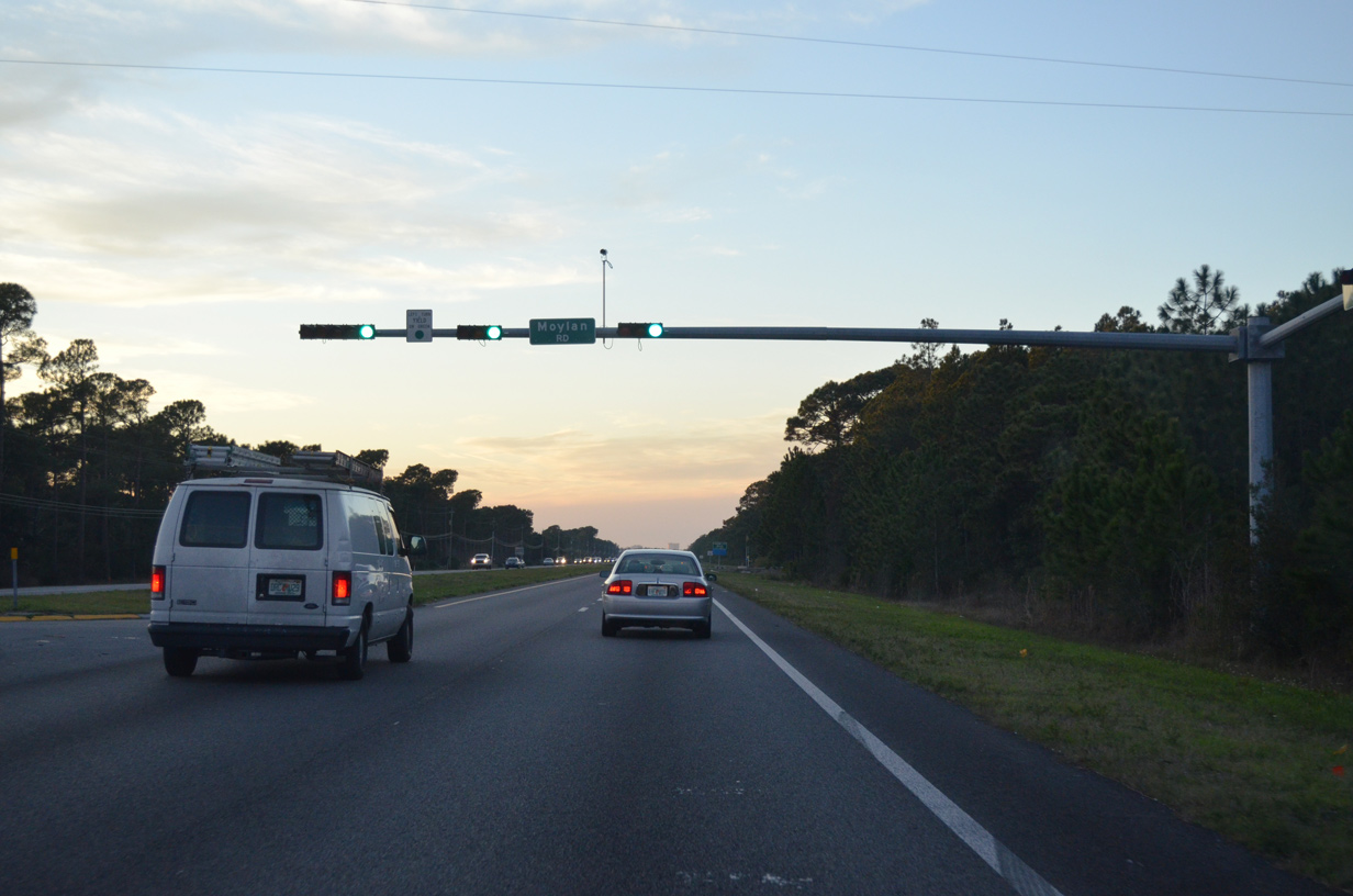
Moylan Road (former CR 30B) stems 0.693 miles south from U.S. 98 to SR 30 (Front Beach Road).
01/16/16
Westbound travelers along U.S. 98 (Panama City Beach Parkway) cross the Panama City Beach line just beyond Moylan Road.
01/16/16
The third in a series of signed beach access roads from U.S. 98 west through Panama City Beach is Richard Jackson Boulevard.
07/31/06
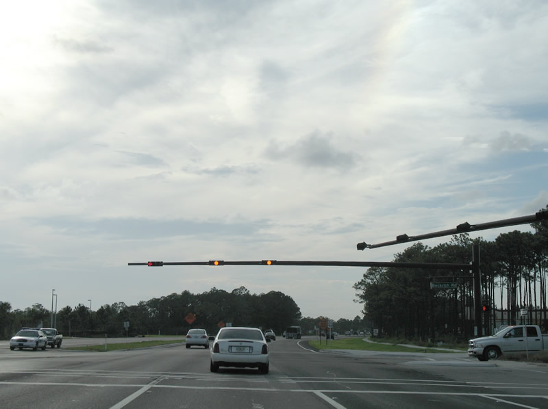
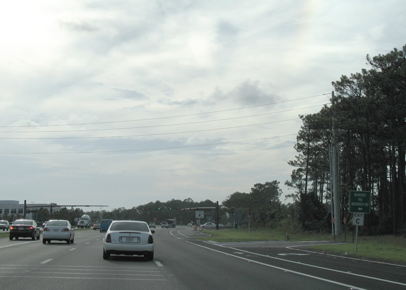
Entering the commercialized intersection with Richard Jackson Boulevard on U.S. 98 west. Formerly Beckrich Road and CR 3033, the four lane boulevard leads southwest to SR 392 (Hutchinson Road) and SR 30 (Front Beach Road) at the condominium tower area along the Gulf front.
07/31/06
Big box retail lines both sides of Panama City Beach Parkway as the arterial curves northerly from Richard Jackson Boulevard to Alf Coleman Road.
01/16/16
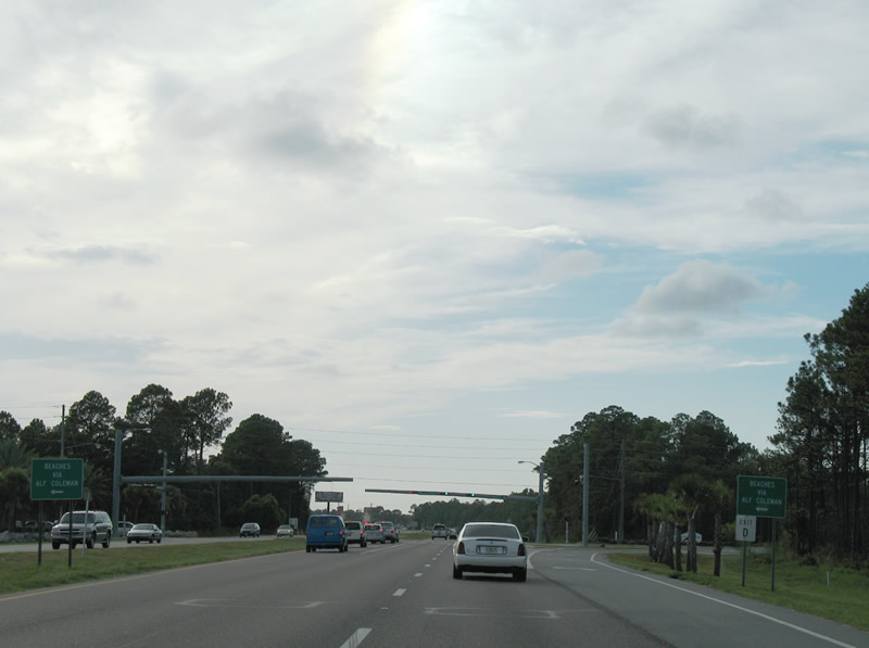
Alf Coleman Road (old CR 30H) constitutes "Exit D", or the fourth beach access road linking U.S. 98 and SR 30 (Front Beach Road). Alf Coleman Road meets Front Beach Road near M.B. Miller Pier to the southwest and ends at J.R. Arnold High School to the northeast.
07/31/06
Pier Park Road winds southward from U.S. 98 through the Pier Park Drive lifestyle retail center to Front Beach Road at Dan Russell City Pier. Northward, Pier Park Road connects with Bay Parkway, a 2017-opened roadway connecting with SR 79 north to West Bay.
07/31/06
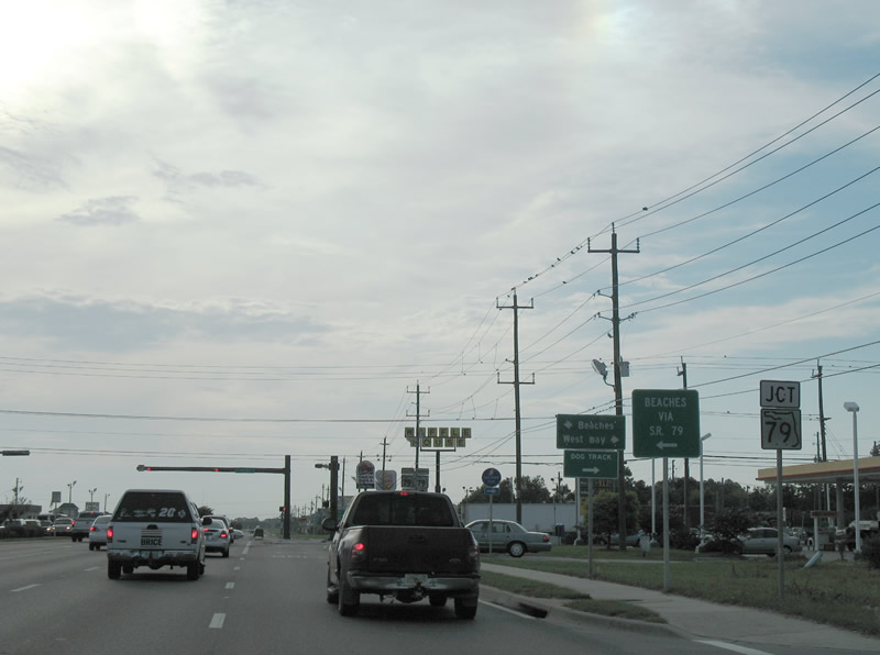
Advancing 0.75 miles west from Pier Park Road and Frank Brown Park, U.S. 98 approaches SR 79 (Arnold Road). SR 79 begins at SR 30 (Front Beach Road) and travels north to U.S. 98 at Panama City Beach City Hall.
07/31/06
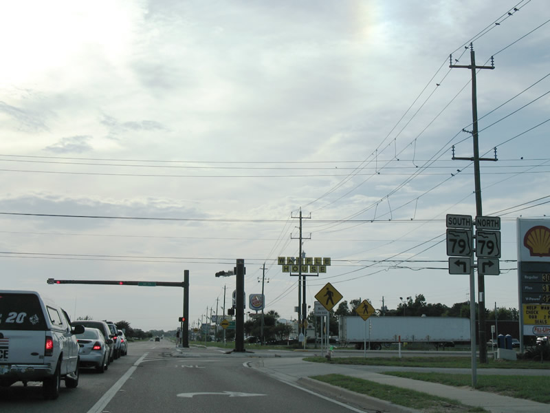
Spanning the Intracoastal Waterway at West Bay, SR 79 provides the third route north to the Interstate 10 corridor from the Bay County beaches. Long term construction to four lane the state road north from Panama City Beach to Ebro, Vernon and I-10 at Bonifay wraps up in winter 2019.
07/31/06
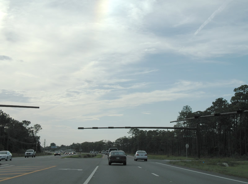
U.S. 98 (Panama City Beach Parkway) progresses toward West Panama City Beach from SR 79 (Arnold Road).
07/31/06
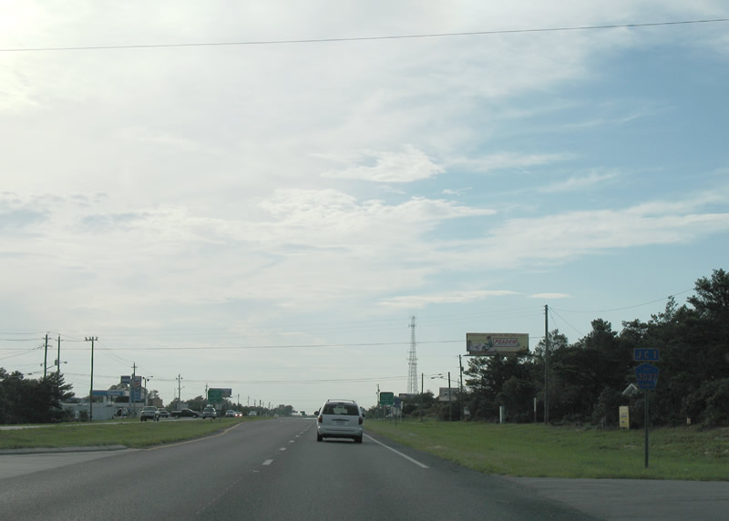
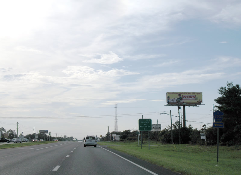
Traveling through Laguna Beach, an unincorporated area of Bay County beyond Panama City Beach, U.S. 98 meets CR 3037 (Wisteria Lane) south.
07/31/06
Wisteria Lane (CR 3037) comprises a 0.421 mile connector from U.S. 98 (Panama City Beach Parkway) to CR 30 (Front Beach Road) between Laguna Beach and Santa Monica.
07/31/06
Front Beach Road (CR 30 / former U.S. 98 Alternate) returns to U.S. 98 (Panama City Beach Parkway) from Hollywood Beach in western Bay County.
07/31/06
Front Beach Road provides the last public road leading toward the Gulf of Mexico Beaches in western Bay County. The community of Carillon Beach next is gated.
07/31/06
Front Beach Road (CR 30 / old U.S. 98 Alt) heads back to Panama City through Sunnyside.
07/31/06
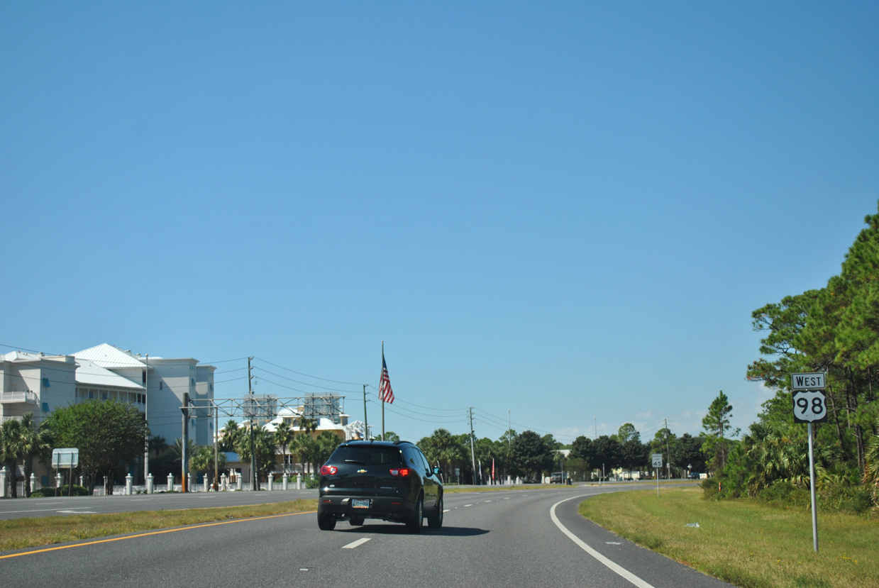
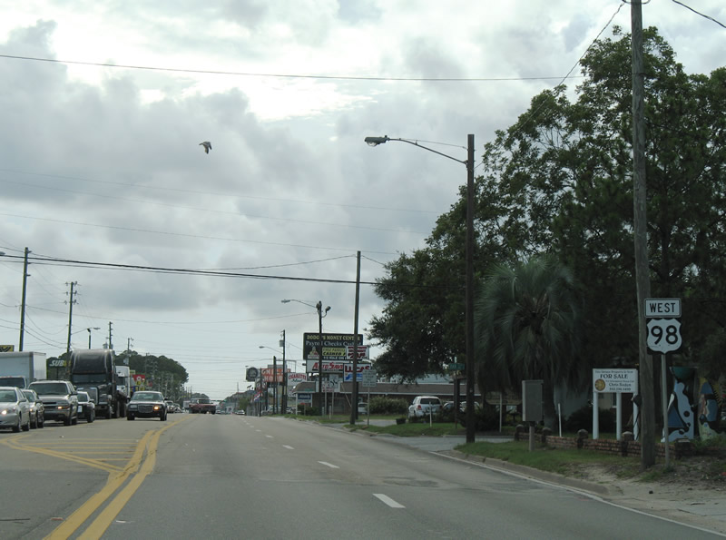
Unsigned SR 30A ends as SR 30 resumes as the counterpart for U.S. 98 west to Fort Walton Beach.
10/17/11
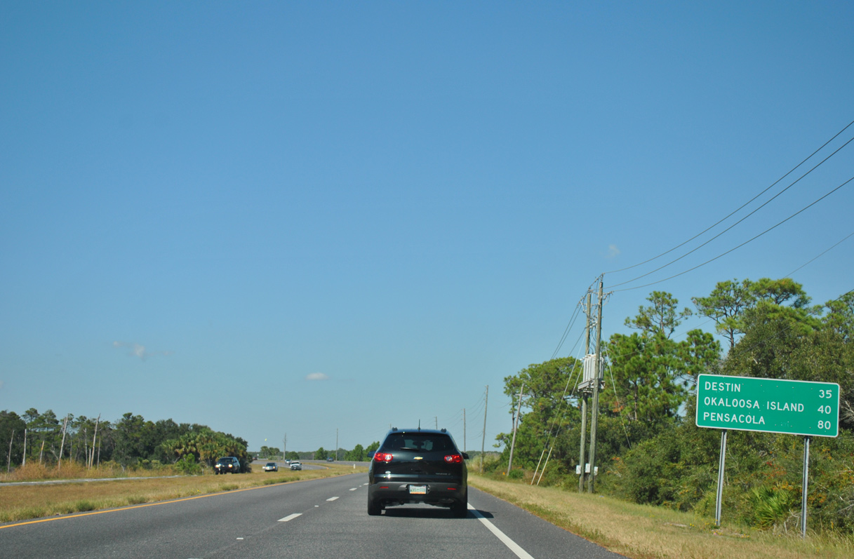
Curving north toward Powell Lake and Phillips Inlet along U.S. 98 west. Destin lies 35 miles ahead.
10/17/11
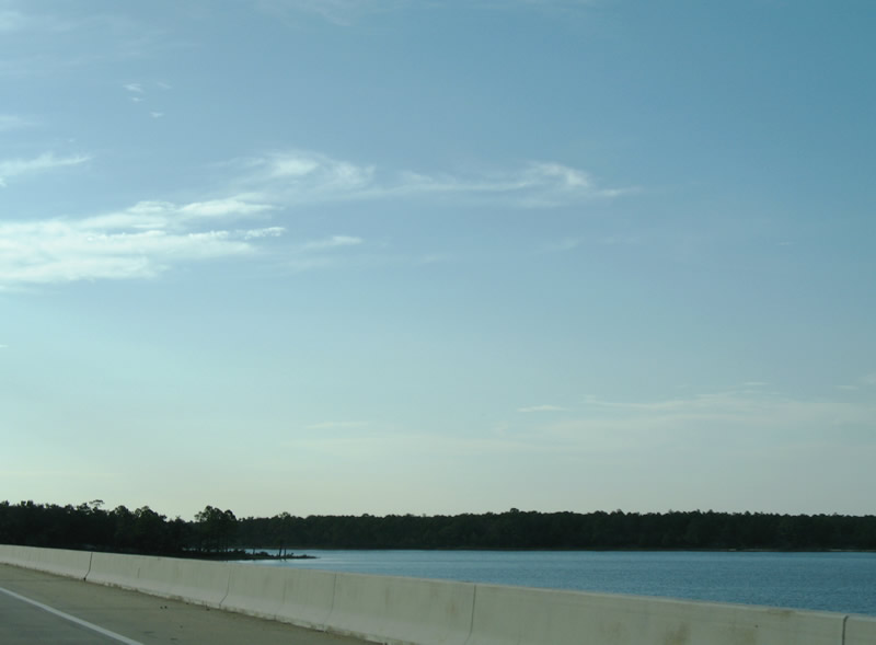
A pair of two lane bridges span Powell Lake north of Phillips Inlet. U.S. 98 enters Camp Helen State Park at the bridge's west end.
10/17/11
07/31/06
Looking south at condominiums in Carillon Beach south of Phillips Inlet. Phillips Inlet does not open into the Gulf of Mexico with a navigable channel.
07/31/06
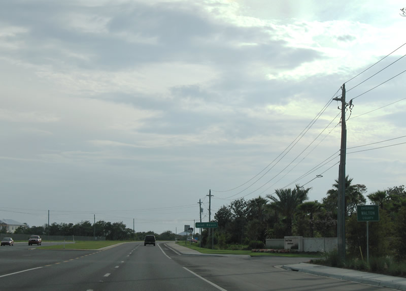
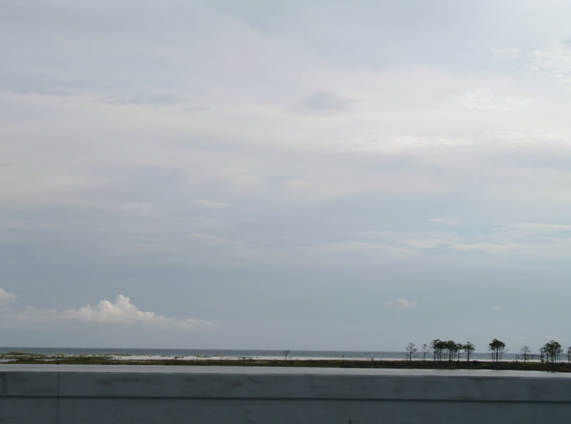
Entering Walton County and leaving Camp Helen State Park on U.S. 98 westbound. Development once again ensues as the U.S. highway follows Emerald Coast Parkway through Inlet Beach.
07/31/06

References:
- US98 SR30 over St. Andrews Bay ( ICWW ), Bay County, Florida. http://bridgereports.com/1082305 BridgeReports.com
- The Hathaway Bridge Replacement Project.
http://www.bridgepros.com/projects/hathawayofficial/
Photo Credits:
- Alex Nitzman: 07/31/06, 10/17/11
- ABRoads: 06/27/09
- ABRoads, Jake Bear: 01/16/16
Connect with:
Page Updated Friday October 12, 2018.