
U.S. 98 Business West - Pensacola

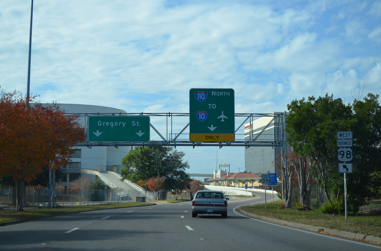
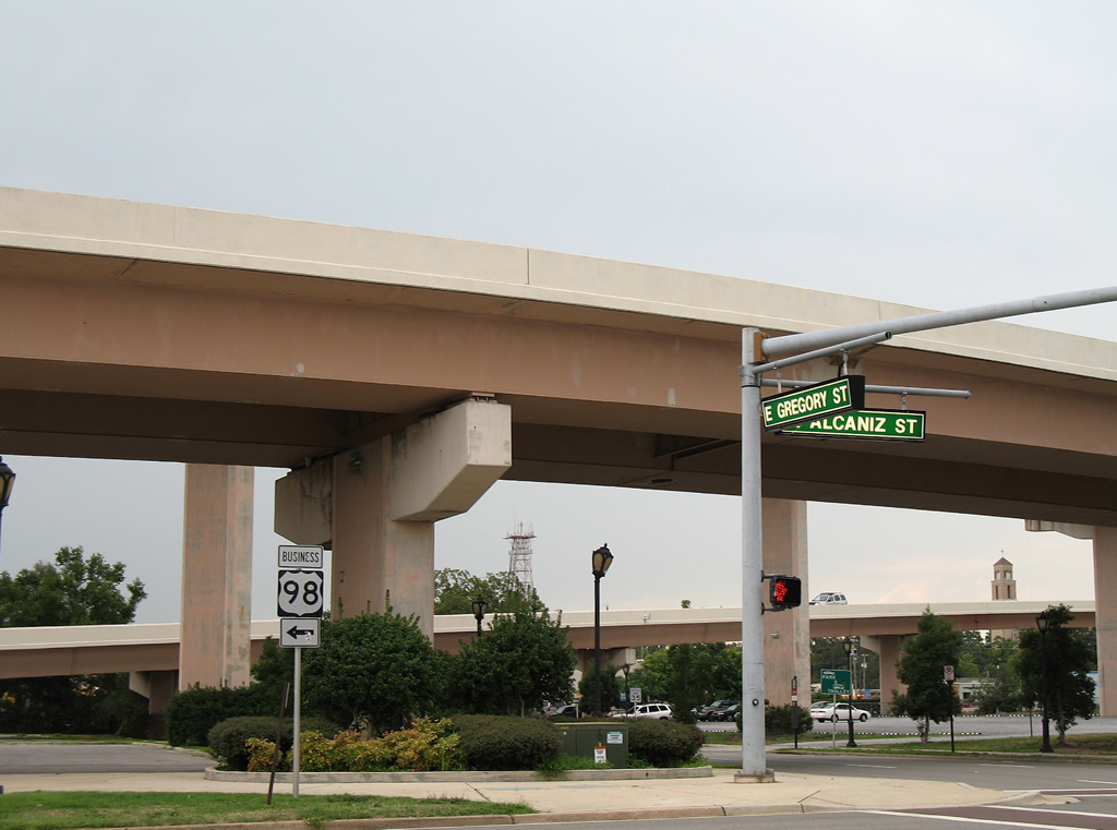
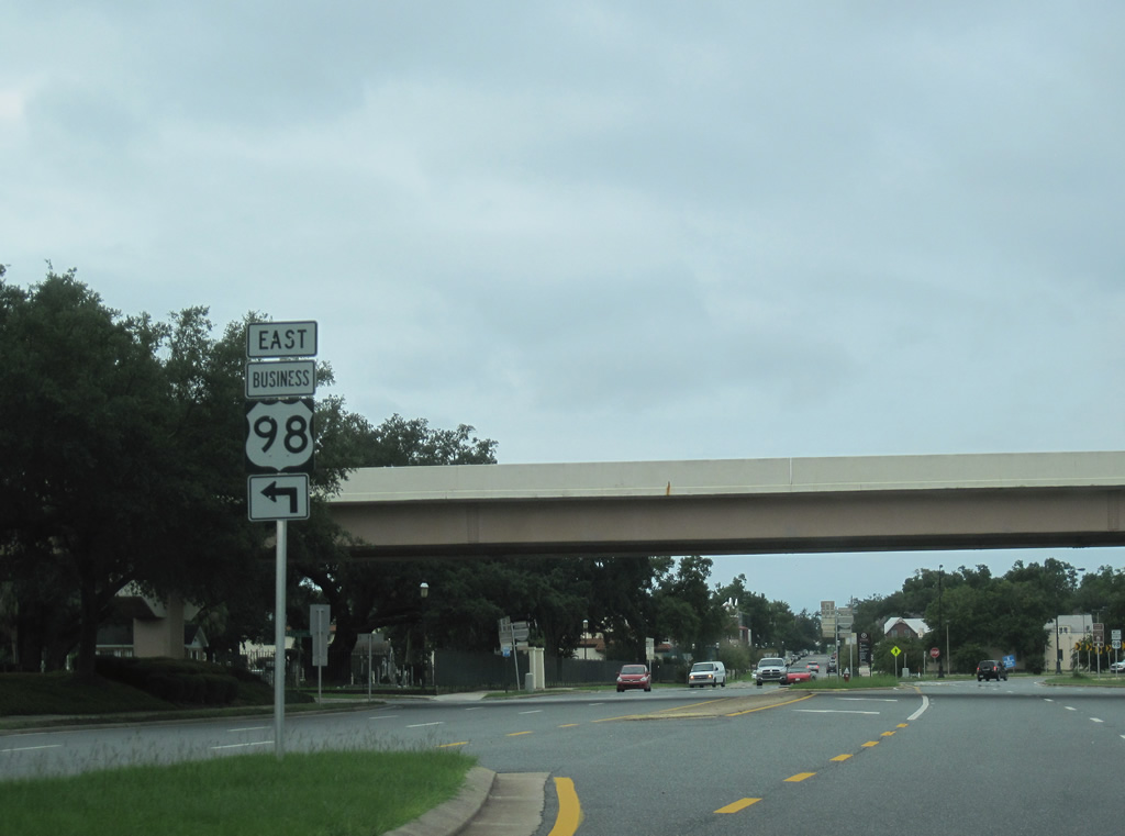
The northbound on-ramp for Interstate 110 departs from U.S. 98 Business along an S-curve adjacent to the Pensacola Bay Center. A stand alone shield marks the route in place of the Gregory Street overhead.
11/24/14
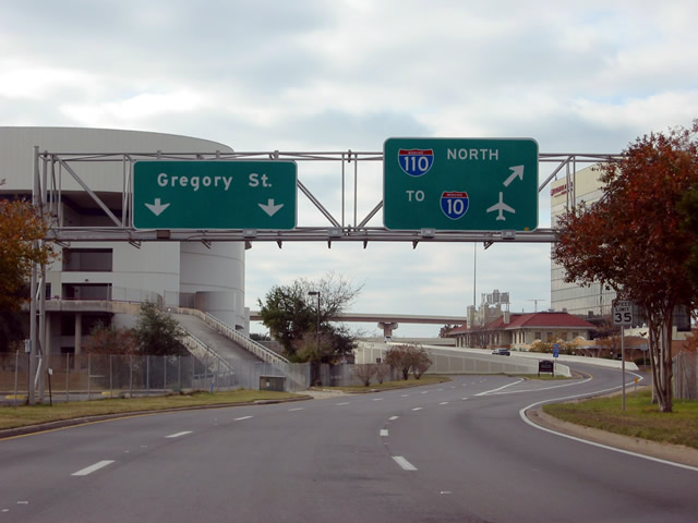
The entrance ramp for I-110 from Gregory Street is one of two from Downtown Pensacola. The other is located at Chase Street east beyond Tarragona Street. The previous overhead for I-110 was blown down by Hurricane Ivan in 2004.
12/06/03
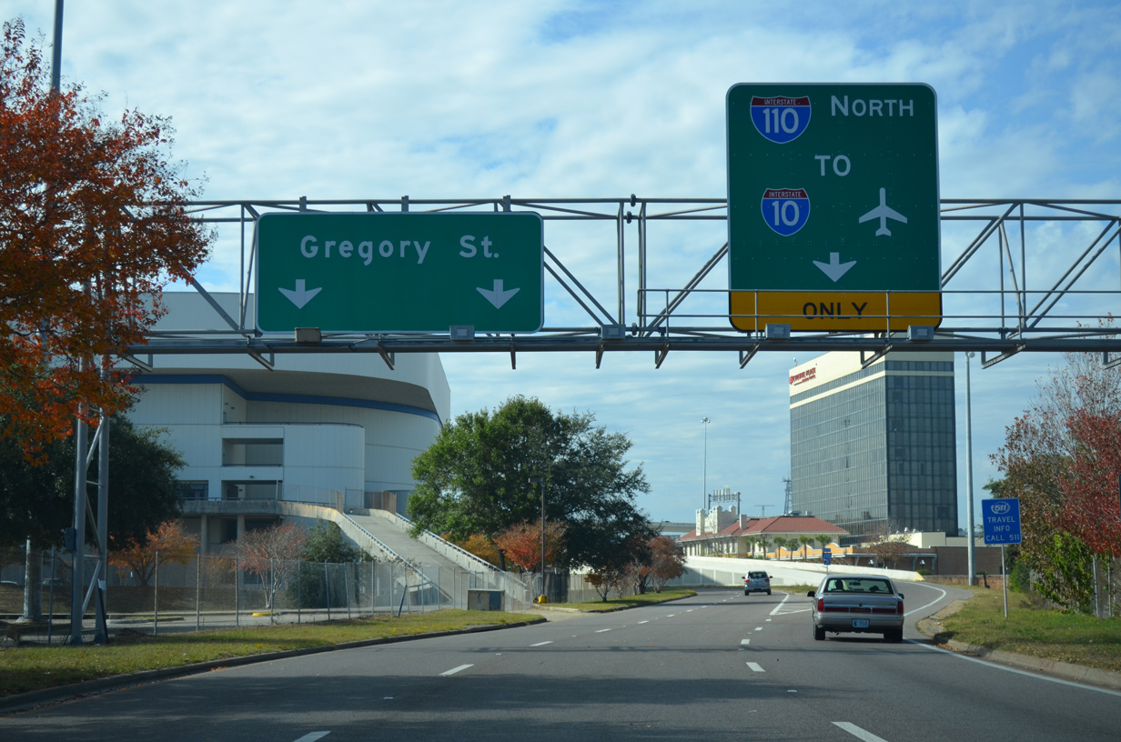
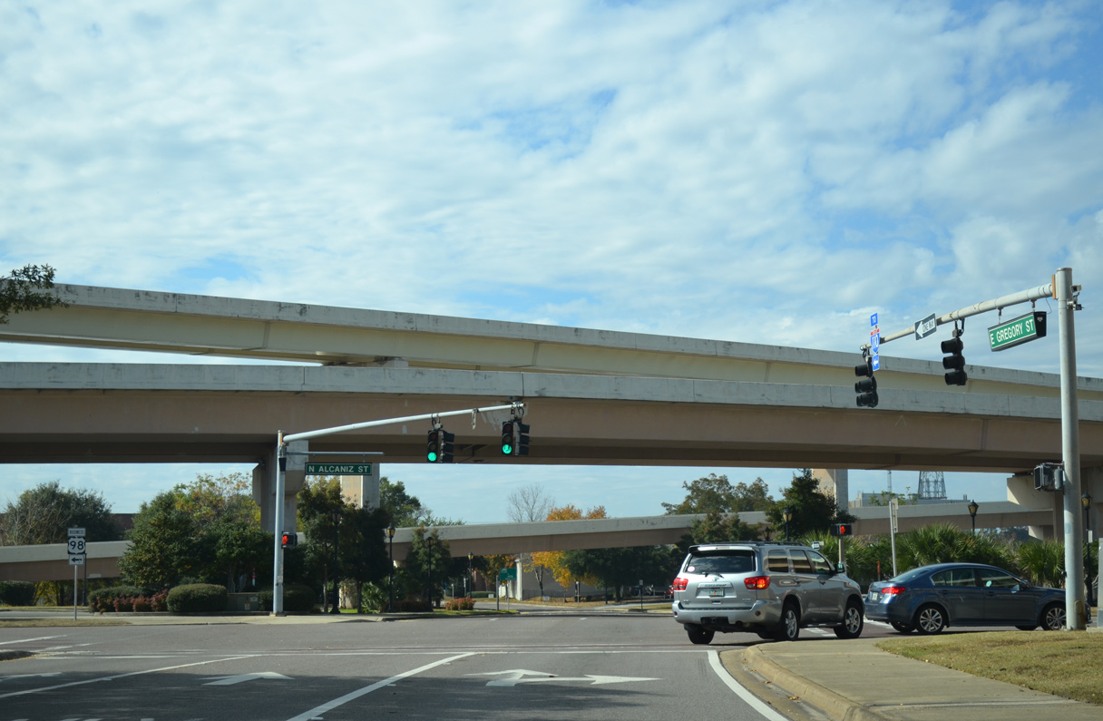
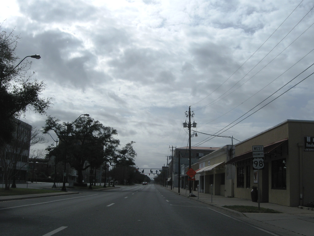
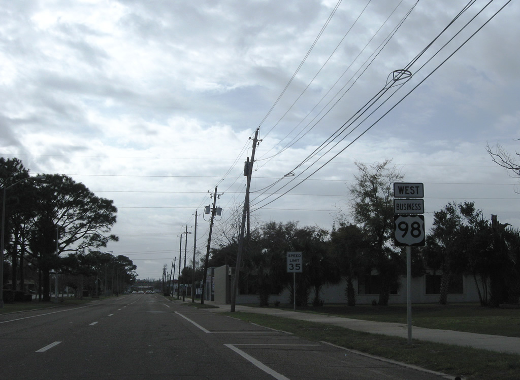
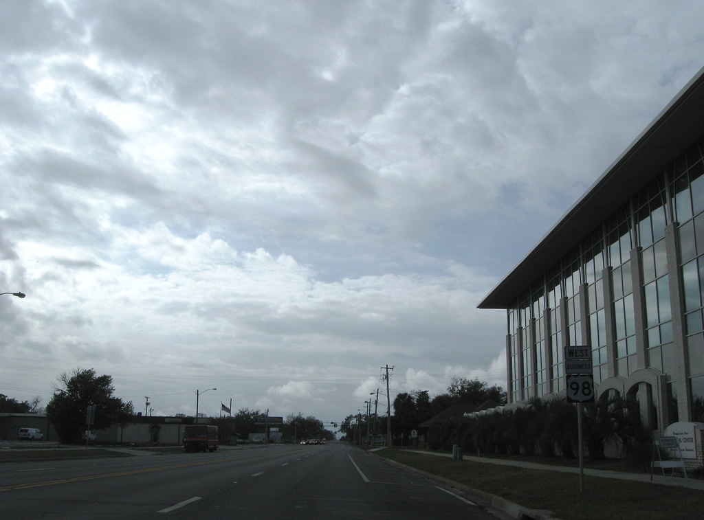
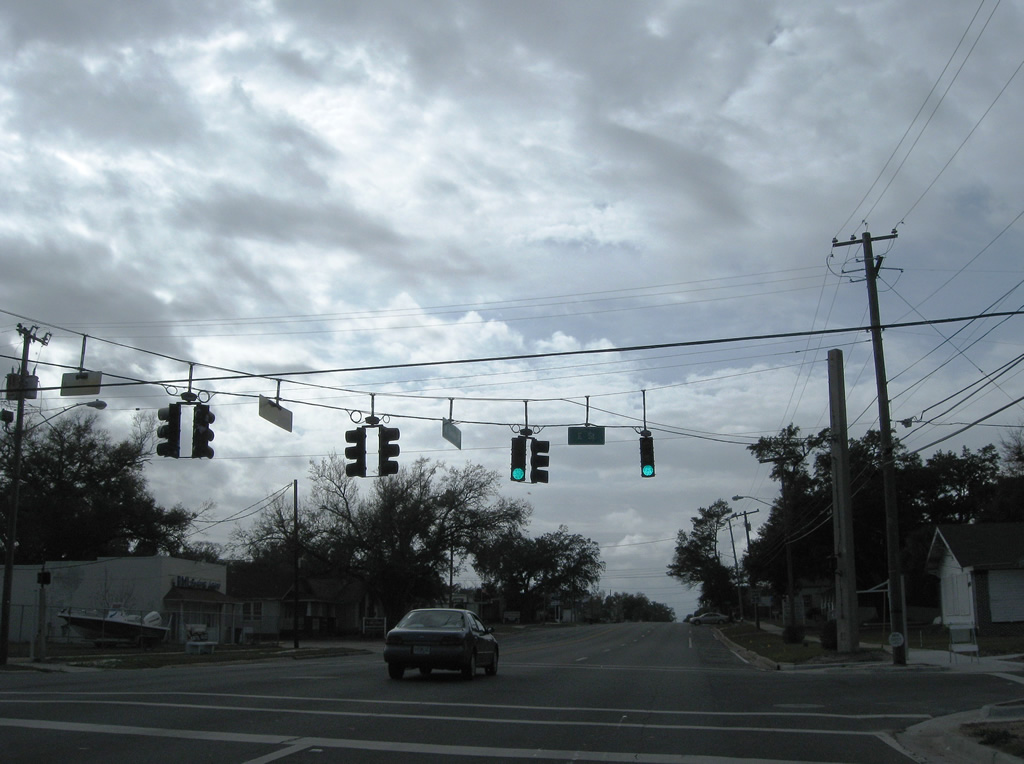
The missing I-110 guide sign on U.S. 98 Business (Gregory Street) west was replaced in April 2010. Interstate 110 constitutes a 6.39 mile freeway leading north to Brent and I-10 near Ferry Pass.
11/24/14
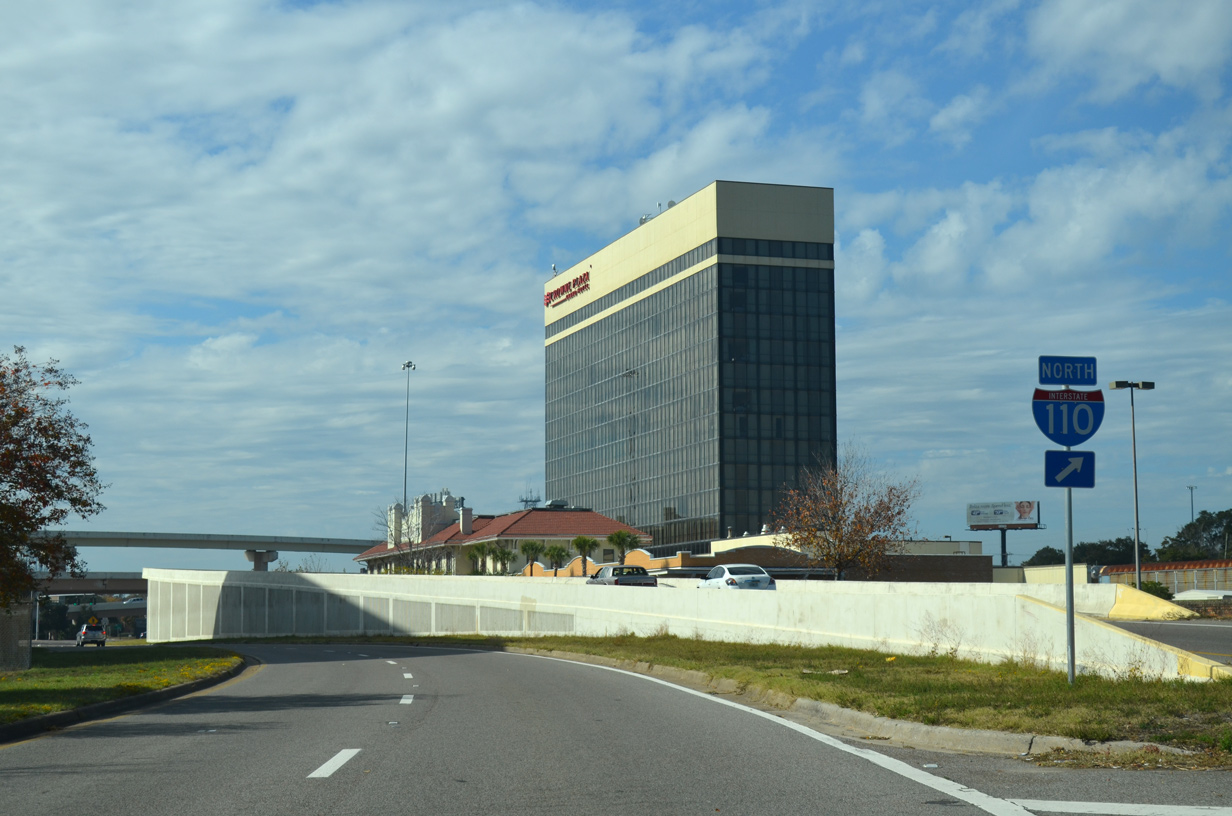
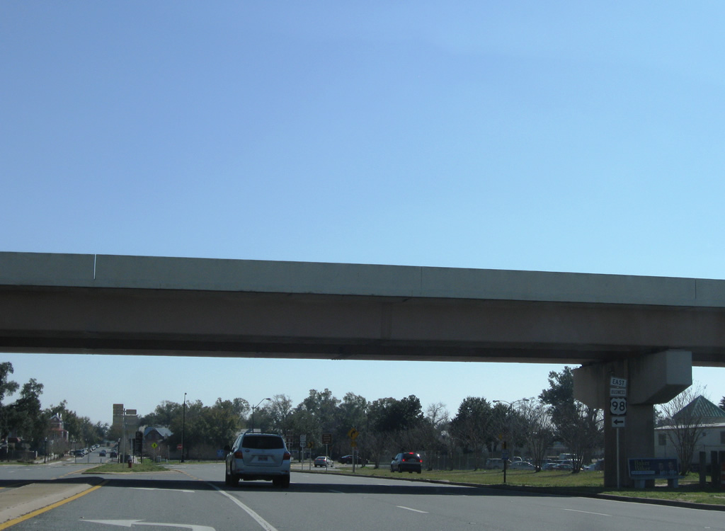
U.S. 98 Business (Gregory Street) continues by the Pensacola Bay Center as traffic to I-110 ascends onto a viaduct. Interstate 110 serves commuters and forms part of a through route from I-10 to Gulf Breeze and Pensacola Beach.
11/24/14
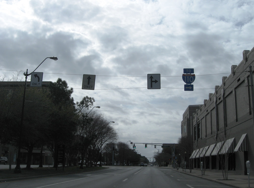
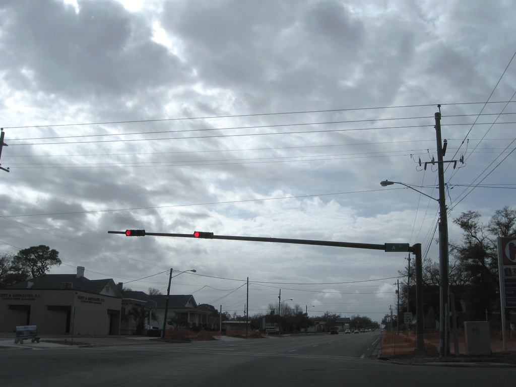
U.S. 98 Business dog legs two blocks south along Alcaniz Street below the exchange with Interstate 110. Alcaniz Street north to Wright Street is a part of SR 291, which begins at Gregory Street. Unmarked here, the 11.22 mile long state road utilizes the one way couplet of Martin Luther King, Jr. Boulevard (south) and Davis Street (north) beyond Cervantes Street (U.S. 90/98).
11/24/14
08/04/06
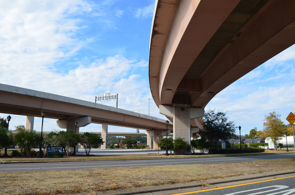
Flyovers along Interstate 110 northbound converge above Wright Street. The high speed interchange was completed in 1978.
11/24/14
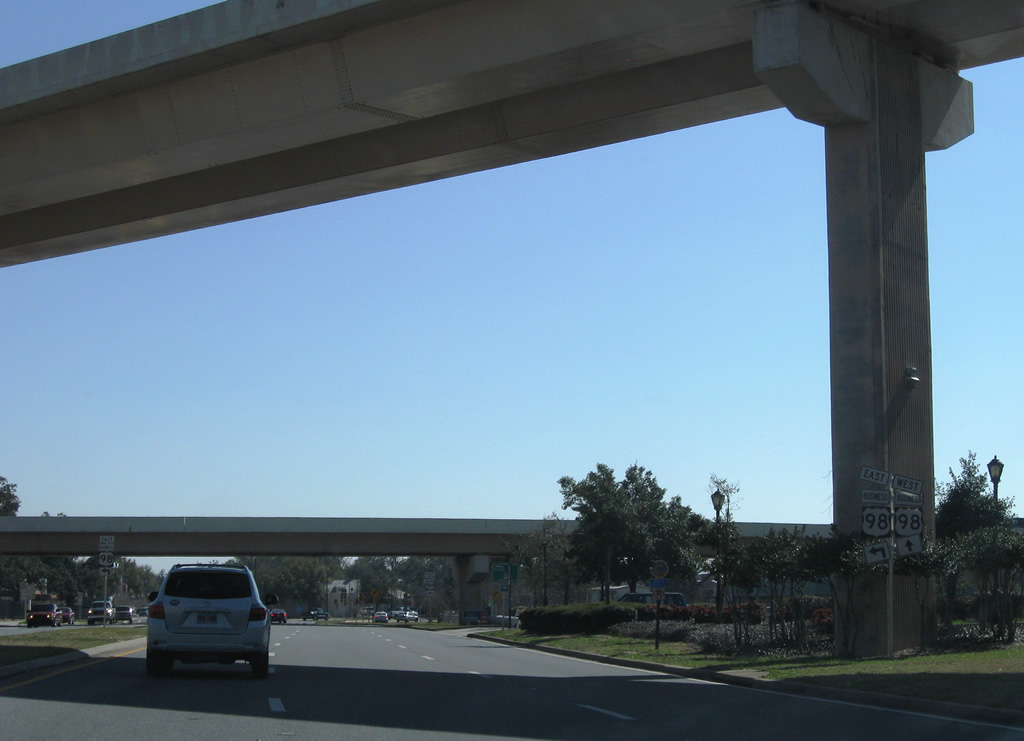
Alcaniz Street passes under the flyover from I-110 south to U.S. 98 east ahead of Chase Street (U.S. 98 Business eastbound).
02/23/10
08/30/10
An overpass from Chase Street at Tarragona Street leads east to the I-110 entrance ramp and the continuation of Chase Street along U.S. 98 Business and U.S. 98 at Ninth Avenue.
02/23/10
U.S. 98 Business turns onto Garden Street from Alcaniz Street, one block south of the Chase Street flyover. An on-ramp from Interstate 110 (Exit 1B) merges from the right.
03/08/09
Resuming a westward course, U.S. 98 Business (Garden Street) meets Tarragona Street and a CSX Railroad spur.
03/08/09
Continuing west through northern reaches of Downtown Pensacola on U.S. 98 Business (Garden Street).
03/08/09
Approaching the intersection with Palafox Street north and Palafox Place southbound on Garden Street west. Palafox Street north to Chase Street east leads motorists to I-110 north.
03/08/09
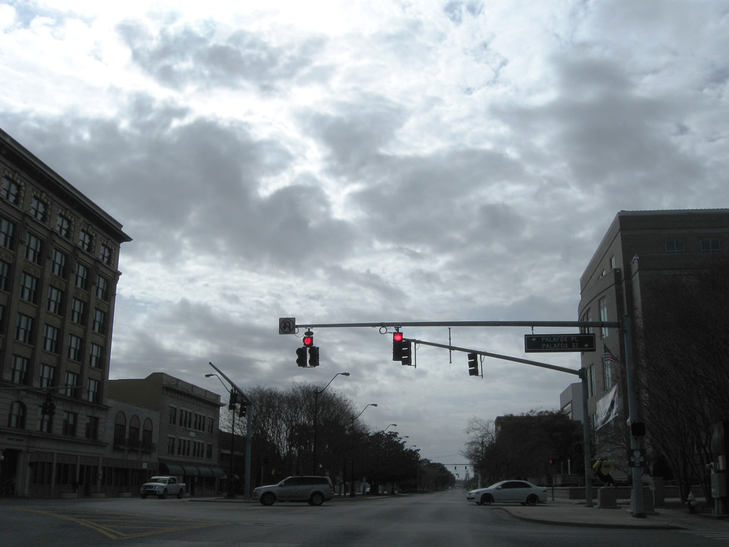
Palafox Street travels north to Lee Square Park and U.S. 90/98 (Cervantes Street), where U.S. 29 northbound begins. Palafox Street flows south from Garden Street through the Pensacola central business district to Palafox Municipal Pier on Pensacola Bay.
03/08/09
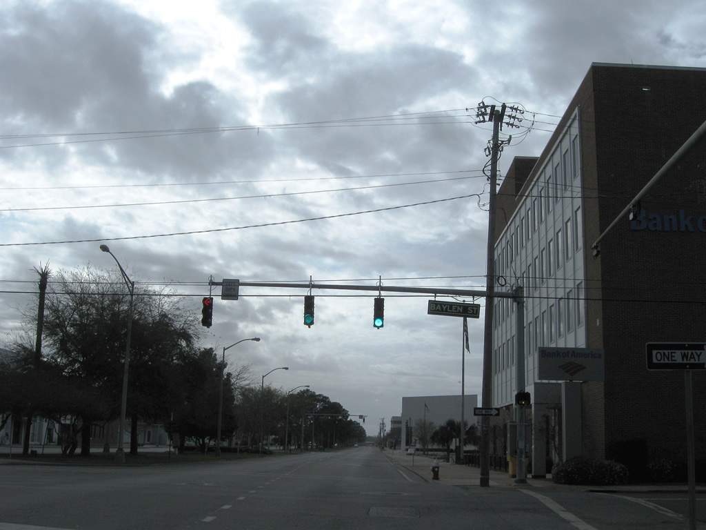
One block west of Palafox Place, U.S. 98 Business intersects Baylen Street.
03/08/09
Leaving Downtown Pensacola for the North Hill area on U.S. 98 Business west beyond Devilliers Street.
03/08/09
U.S. 98 Business kinks westward as Garden Street meets the first of Pensacola's alphabet street series. A Street heads south to Main Street and north to Maxwell and Jordan Streets.
03/08/09
Westbound reassurance shield posted after the Garden Street intersection with B Street.
03/08/09
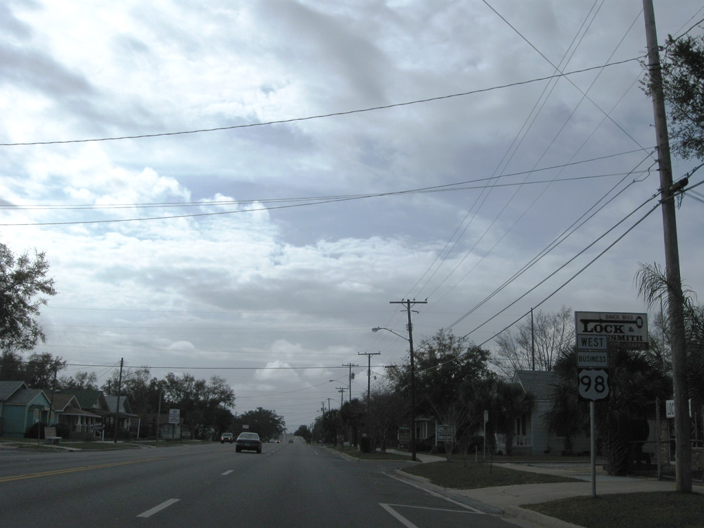
Barrancas Avenue branches southwest from U.S. 98 Business (Garden Street) at D Street. Barrancas Avenue becomes SR 292 ahead of the Bayou Chico Bridge en route to Warrington.
03/08/09
E Street heads south to Sanders Beach and north to SR 752 (Texar Drive). A portion of the street was County Road 443.
03/08/09
U.S. 98 Business (Garden Street) west at H Street and south of Legion Field.
03/08/09
U.S. 98 Business (Garden Street) westbound ends where U.S. 98 (Navy Boulevard) separates from SR 292 (Pace Boulevard).
03/08/09
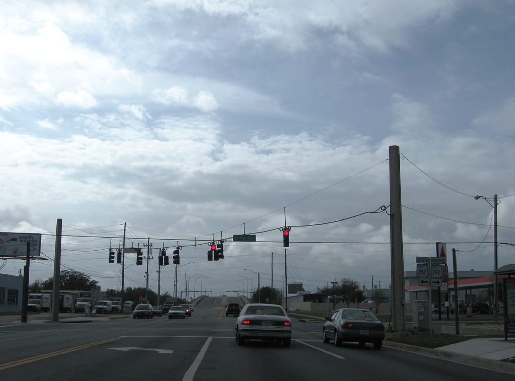
Garden Street west becomes Navy Boulevard and U.S. 98 beyond SR 292 (Pace Boulevard). SR 292 continues west to Warrington and Perdido Key to the south and north to U.S. 29 near Brent.
03/08/09
Photo Credits:
- Alex Nitzman: 12/06/03, 08/04/06, 11/24/14
- ABRoads: 03/08/09, 02/23/10, 08/30/10
Connect with:
Page Updated Friday October 11, 2019.