
U.S. 136

U.S. 136 nips the southeastern corner of Iowa, overlapping with U.S. 61 across the Des Moines River and U.S. 61 Business east into Keokuk. The route spans the Mississippi River from Downtown Keokuk along the Keokuk-Hamilton Bridge, a 1985-built steel girder bridge.
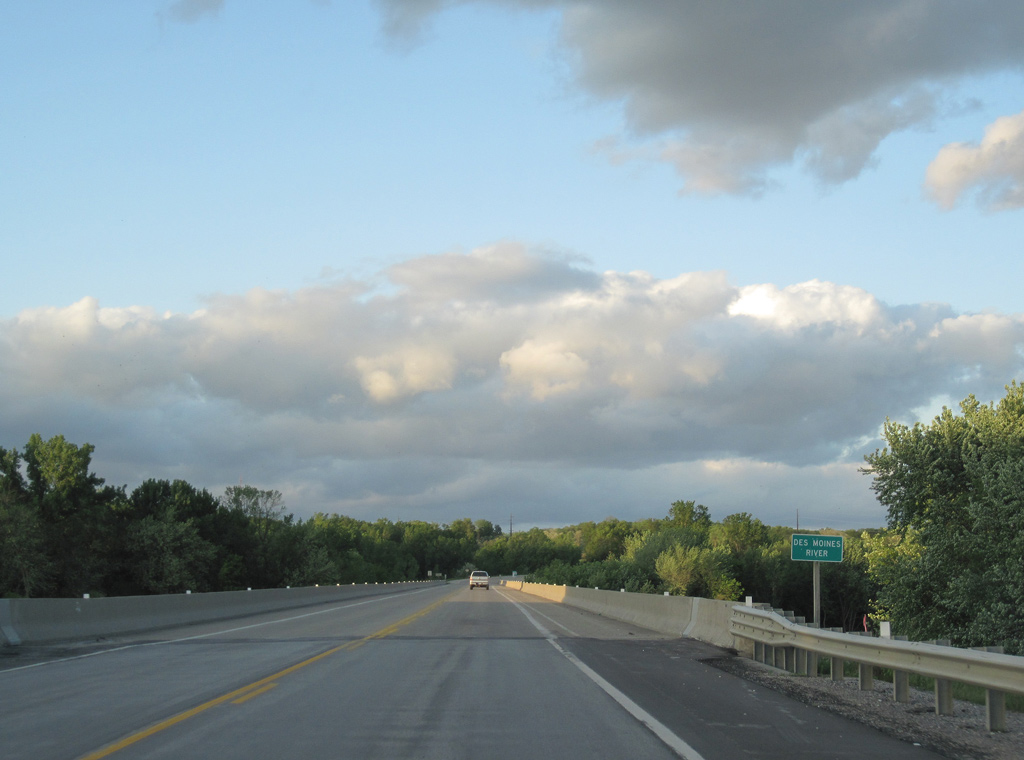
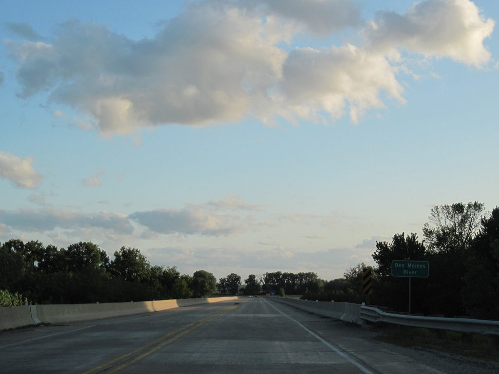
Crossing the Des Moines River, U.S. 61/136 enter Lee County, Iowa.
05/07/10
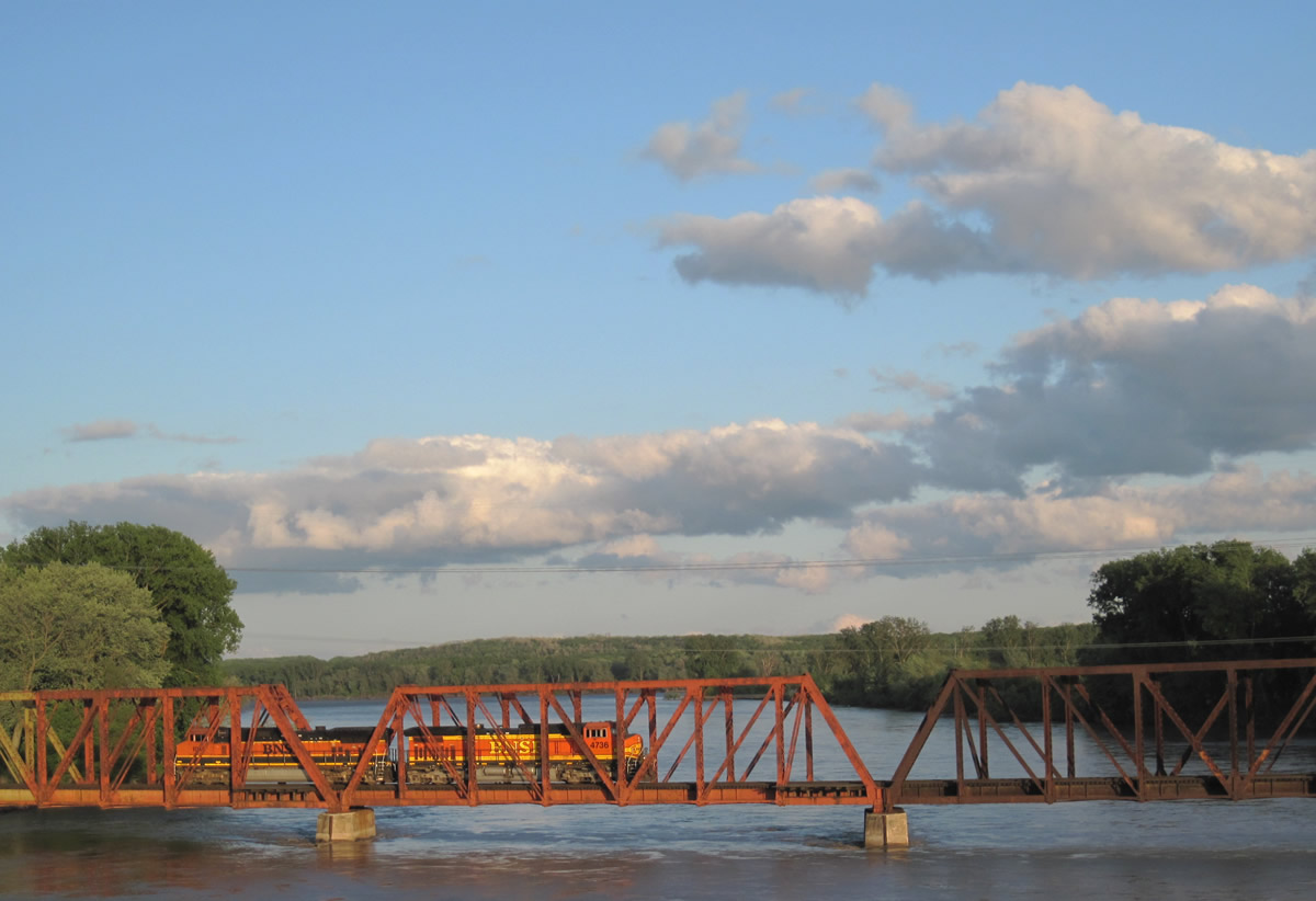
A BNSF Railroad line parallels U.S. 61/136 east of the span across the Des Moines River. The railroad straddles the west banks of the Mississippi River through the city of Keokuk.
05/07/10
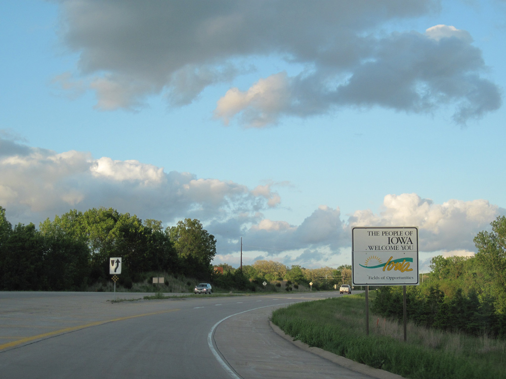
Welcome to Iowa sign posted after the Valley Road underpass. U.S. 136 travels just 3.6 miles across the southeastern tip of the state.
05/07/10
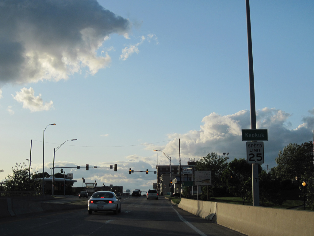
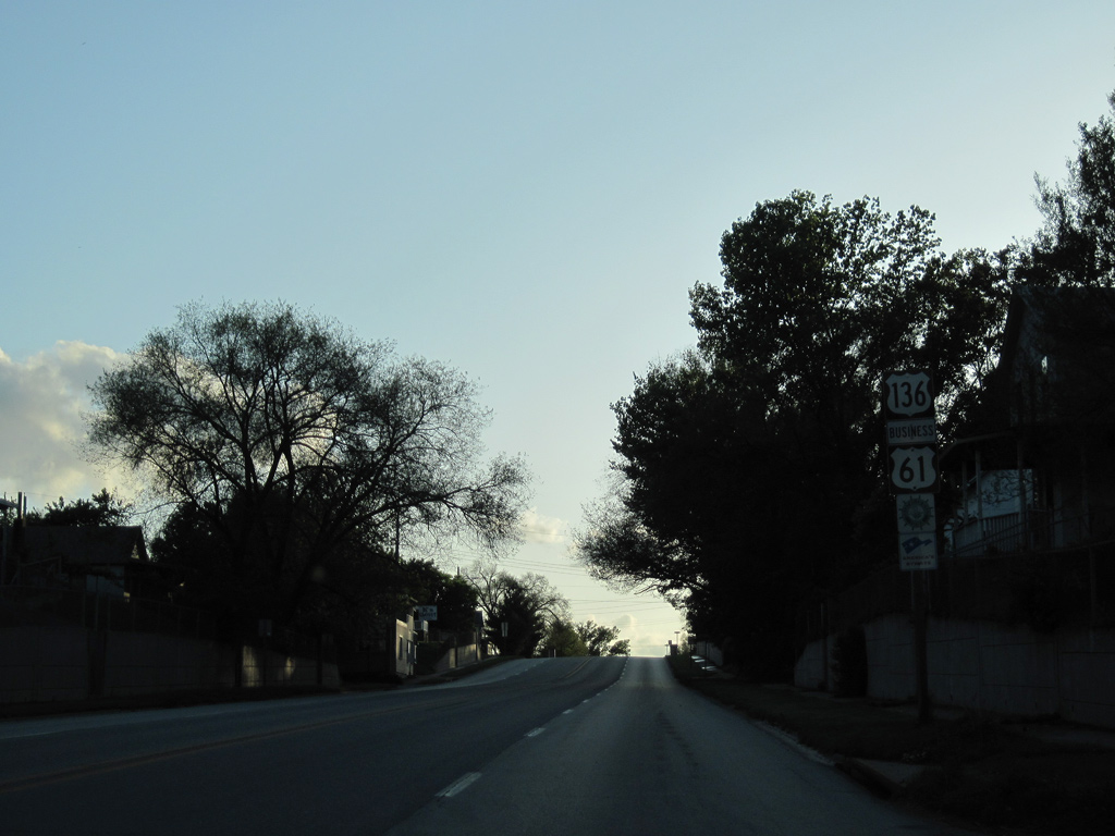
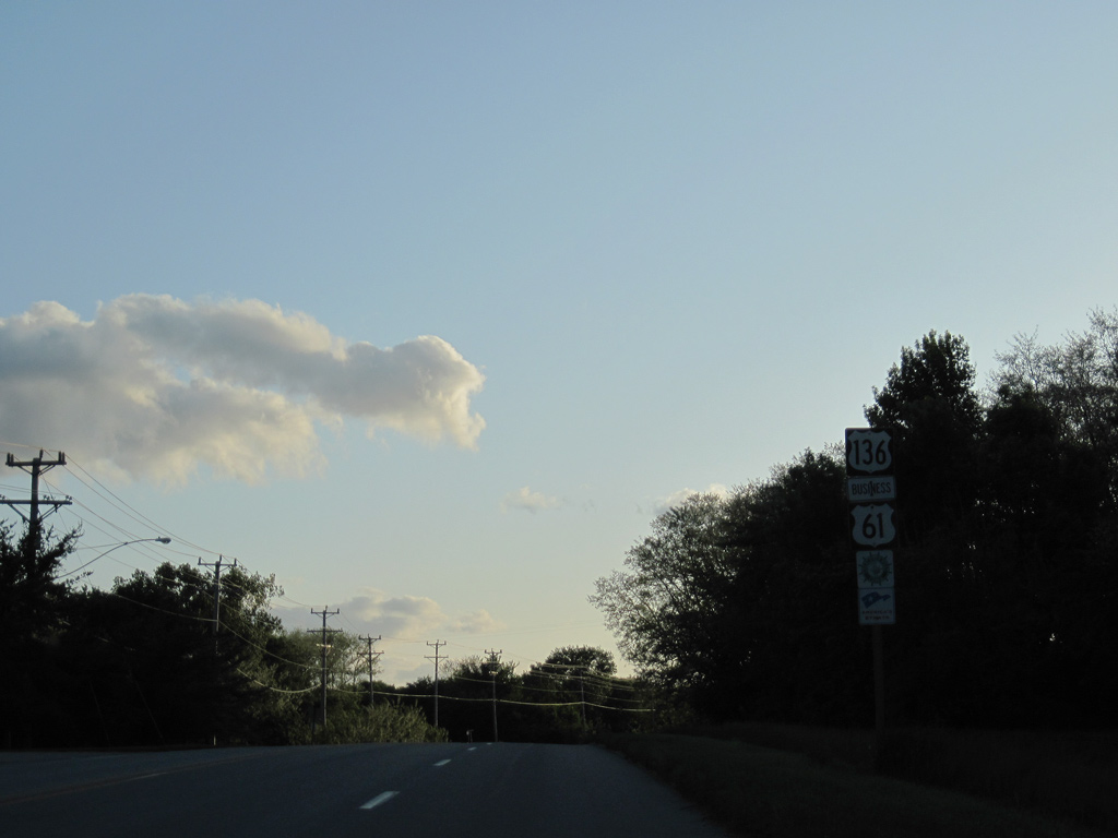
U.S. 61 Business / U.S. 136 follow 7th Street east to Downtown Keokuk, where they meet U.S. 218. U.S. 61 heads north 23 miles to Fort Madison. Twin Rivers Drive also ties into their rural split from an industrial area along the Mississippi River.
05/07/10
 East
East
U.S. 61 Business was designated on October 4, 1996 along U.S. 136 (7th Street) and U.S. 218 (Main Street) through Keokuk.1
05/07/10
West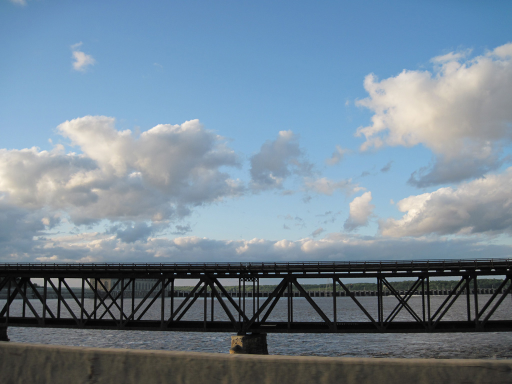
Crossing the Keokuk-Hamilton Bridge on U.S. 136 west. A Toledo, Peoria and Western (Keokuk Junction Railway) Railroad bridge parallels the north side of the Mississippi River span. This swing bridge includes a steel deck that once carried U.S. 136.
05/07/10

The Keokuk-Hamilton Bridge opened to traffic in November 1985. The 64 foot wide bridge accommodates four overall lanes at a total length of 3,341 feet.2
05/07/10
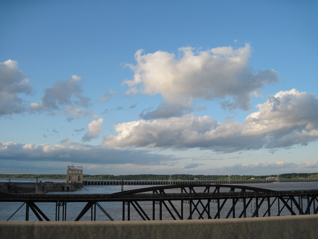
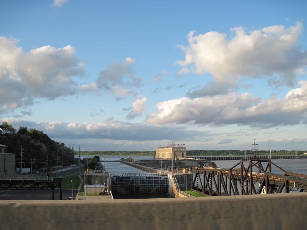
Lock Number 19 comes into view between Keokuk Dam and the bluff line along the Mississippi River.
05/07/10
U.S. 136 formally enters Lee County, Iowa over the west banks of the Mississippi River.
05/07/10
The Keokuk-Hamitlon Bridge curves northward and transitions to Main Street at 2nd Street. The old toll bridge tied into Main and 2nd Streets from the southeast. The original toll booth still stands nearby as part of a city park.
05/07/10
2nd Street connects U.S. 136 (Main Street) with a residential neighborhood to the northeast and an industrial area along the Mississippi River to the southwest.
05/07/10
The first shield for U.S. 136 west in Iowa stands just beyond 2nd Street.
05/07/10
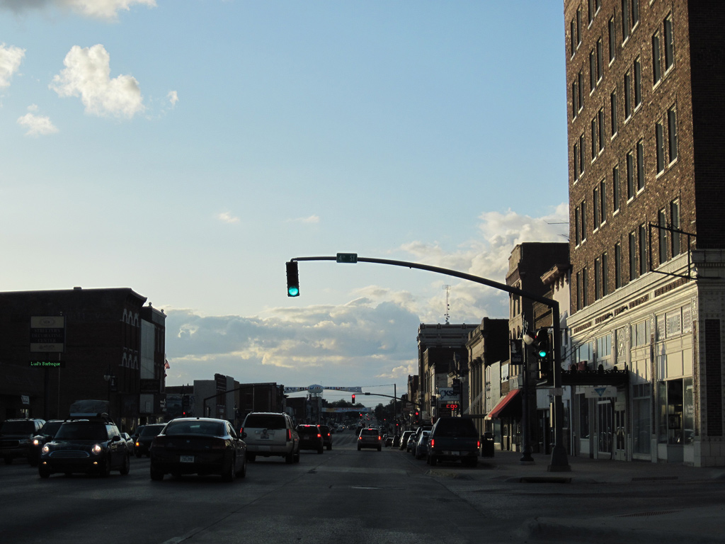
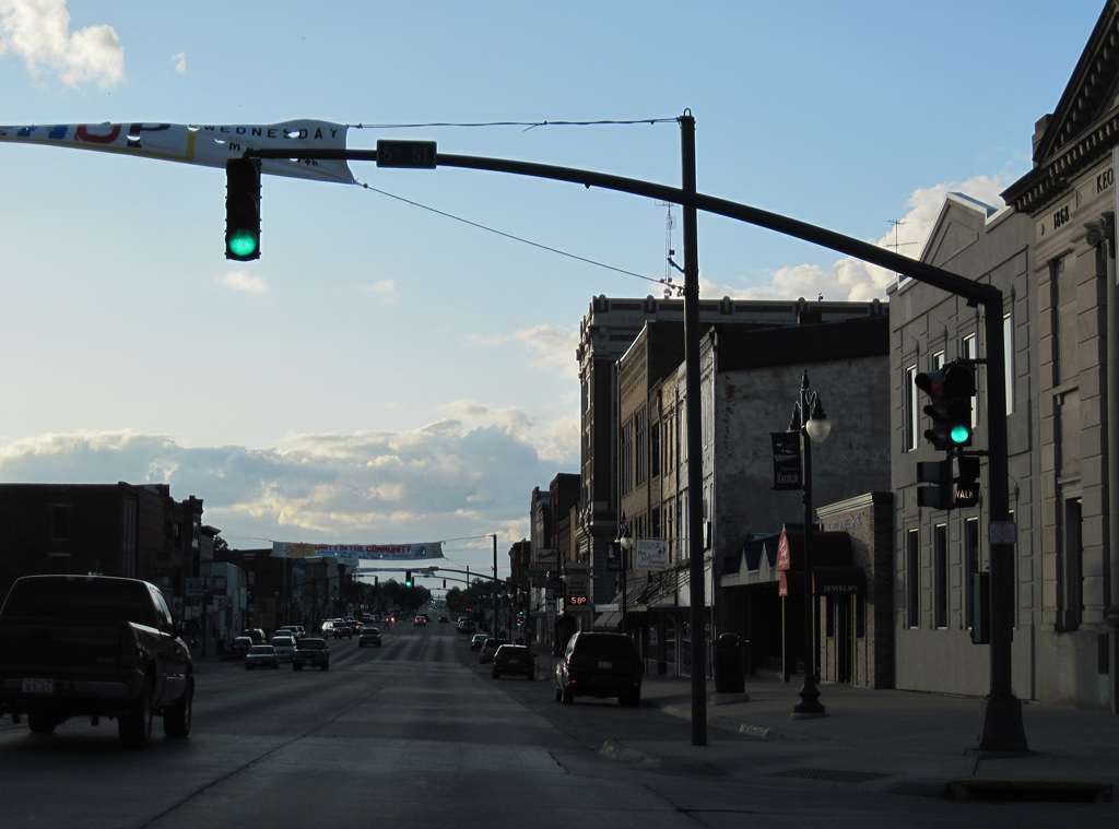
Main Street proceeds northwest through Downtown Keokuk. Pictured here is the signal at 4th Street.
05/07/10
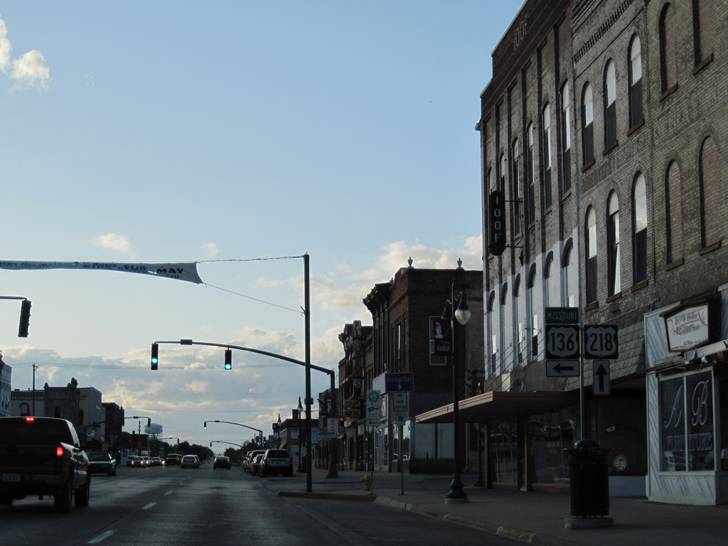
U.S. 136 (Main Street) west at 5th Street.
05/07/10
U.S. 136 turns west from Main Street onto 7th Street to combine with U.S. 61 Business south toward the Missouri state line.
05/07/10
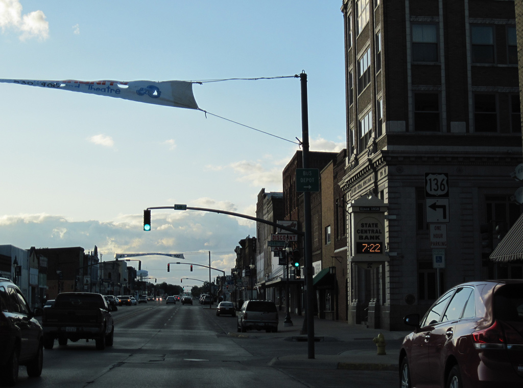
U.S. 218 begins and travels north along Main Street with U.S. 61 Business from U.S. 136 at 7th Street.
05/07/10
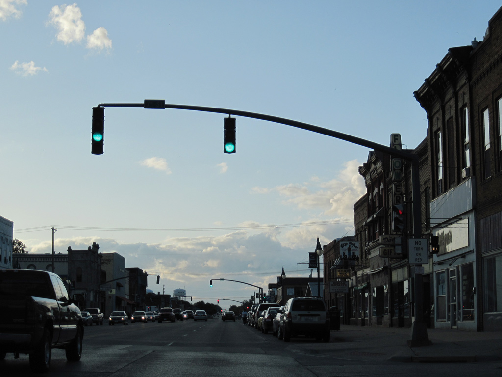
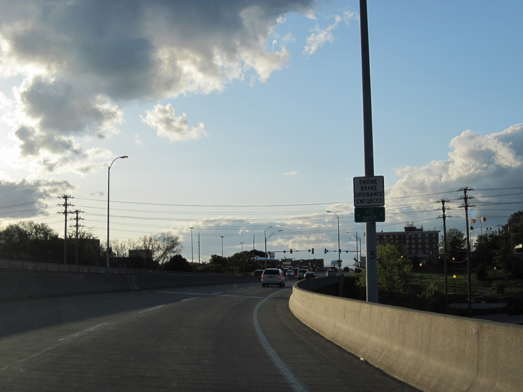
U.S. 61 Business / U.S. 218 comprise the main commercial corridor for Keokuk from Downtown northward to the U.S. 61 bypass on the northwest side of the city.
05/07/10
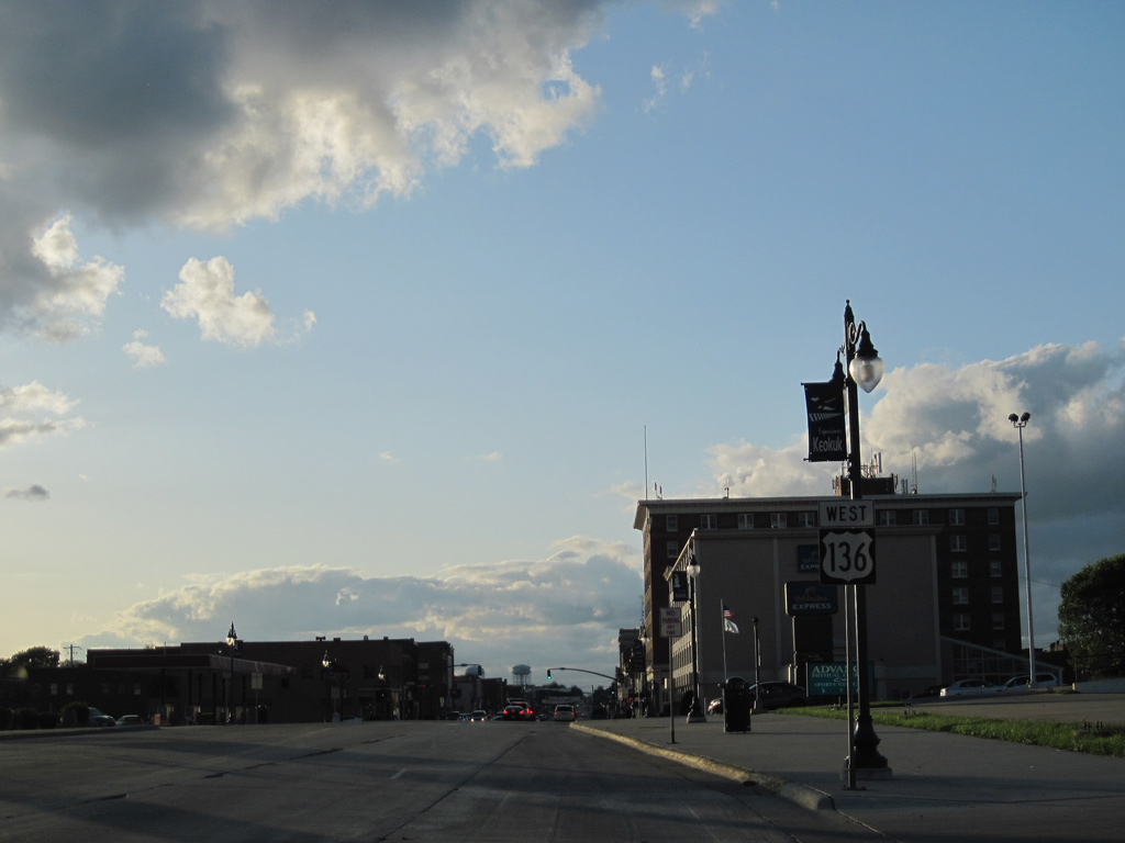
West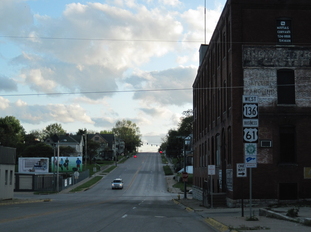
U.S. 136 west overlaps with U.S. 61 Business south for 2.4 miles.
05/07/10
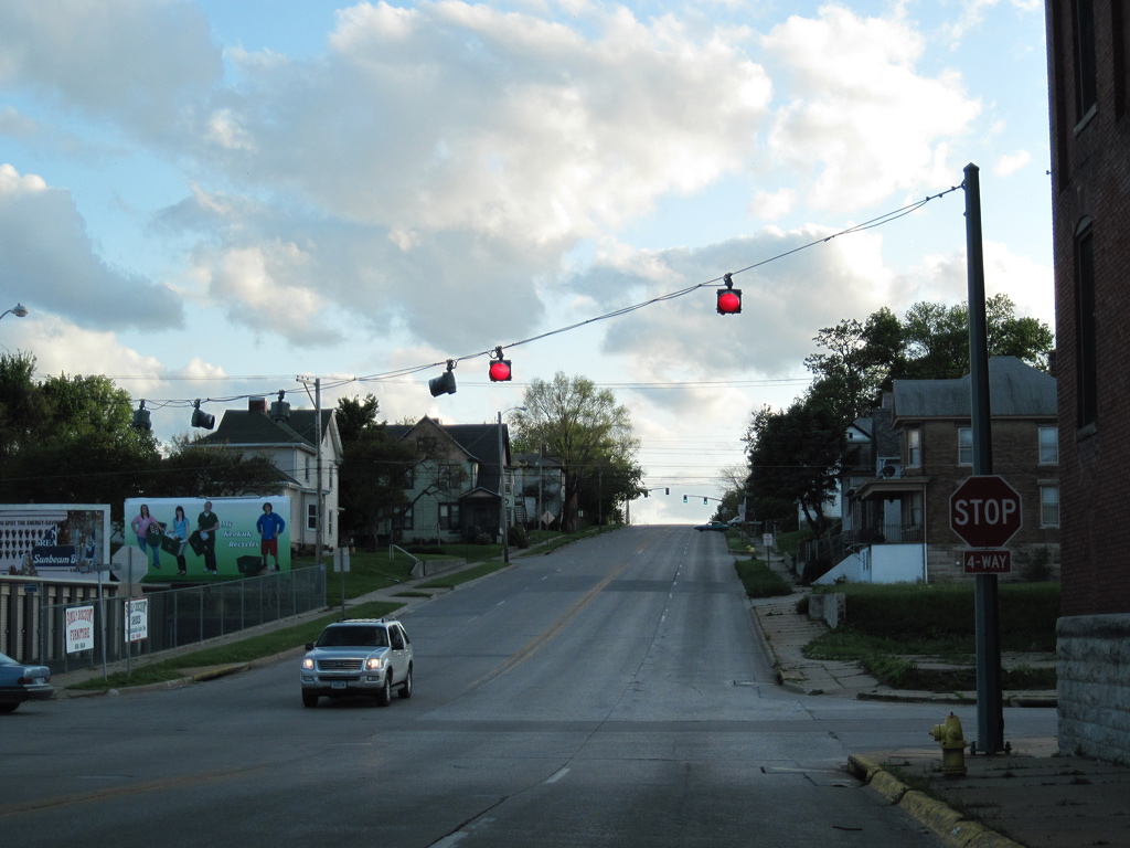
U.S. 61 Business / U.S. 136 (7th Street) lower from Main Street to a four-way stop at Johnson Street.
05/07/10
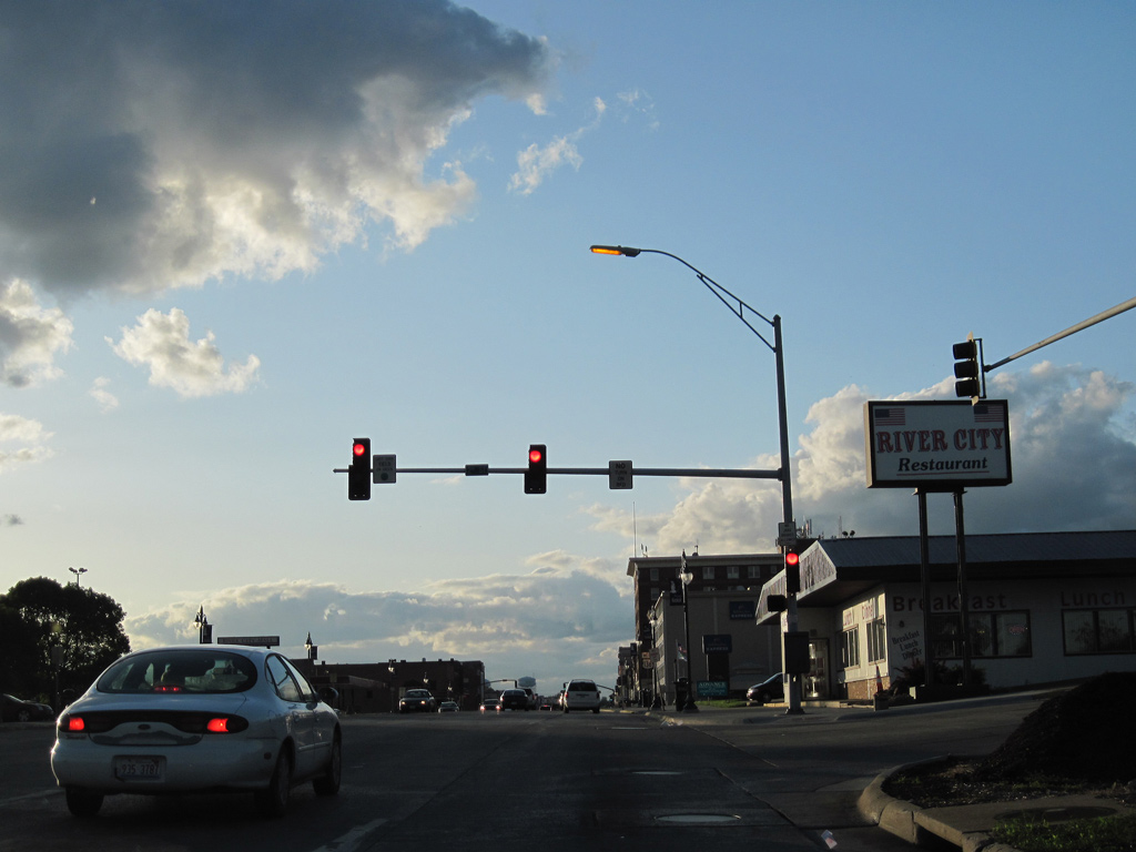
A traffic light operates along U.S. 136/61 Business (7th Street) at Timea Street.
05/07/10
7th Street swings west across Soap Creek between Ridge and B Streets.
05/07/10
U.S. 136/61 Business (7th Street) bisect a residential street grid west of Soap Creek. This shield assembly appears at H Street.
05/07/10
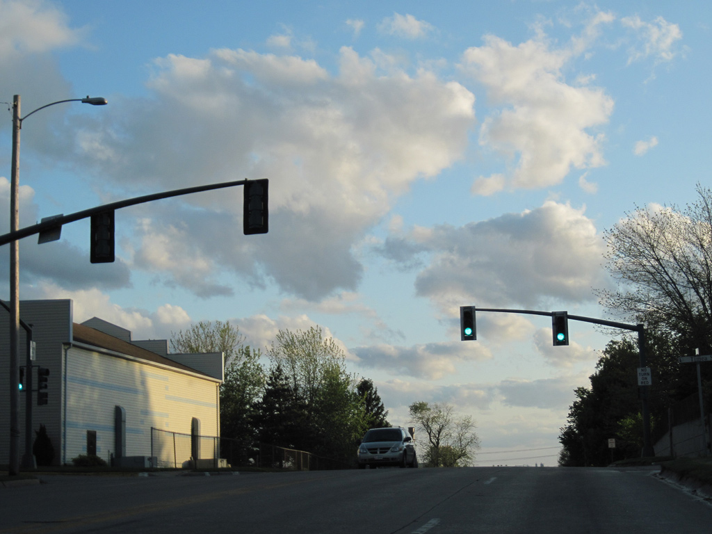
Continuing west from Pleasant Street along U.S. 61 Business / U.S. 136.
05/07/10
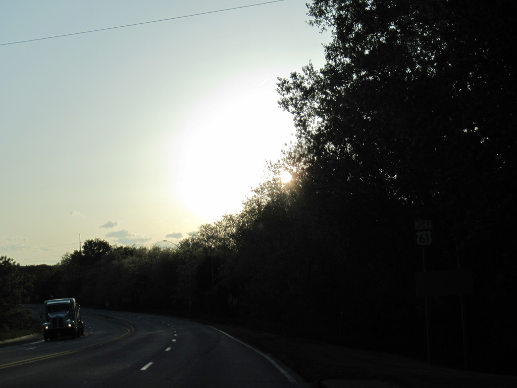
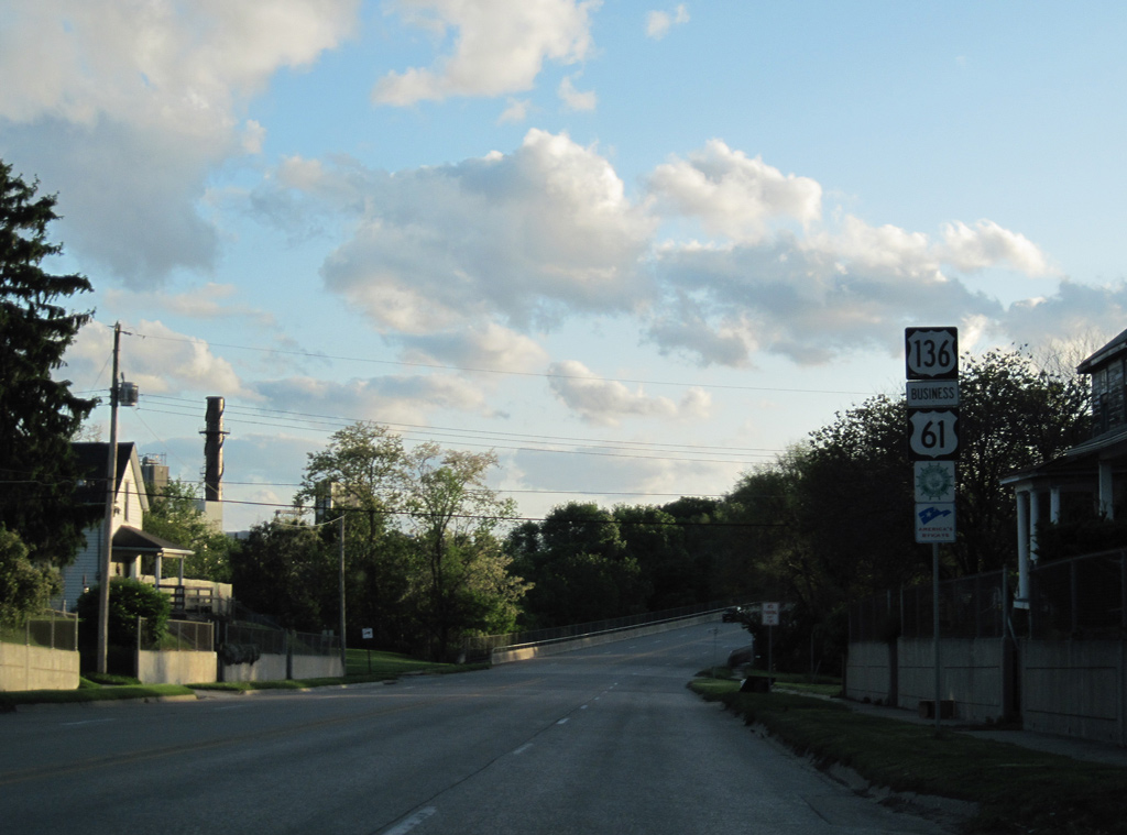
Approaching the west side Keokuk bypass and U.S. 61 on U.S. 136 west.
05/07/10
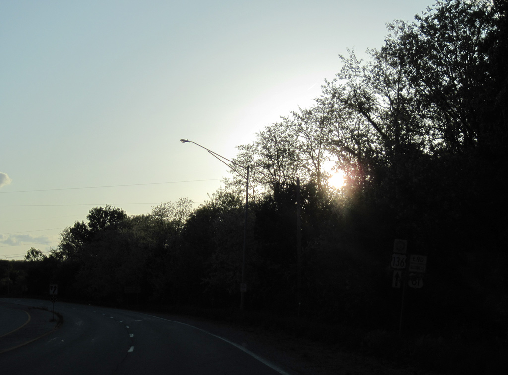
An end shield appears for U.S. 61 Business as U.S. 136 merges with U.S. 61 south to Alexandria, Missouri.
05/07/10
U.S. 61 travels 23 miles south from Fort Madison to combine with U.S. 136 west.
05/07/10
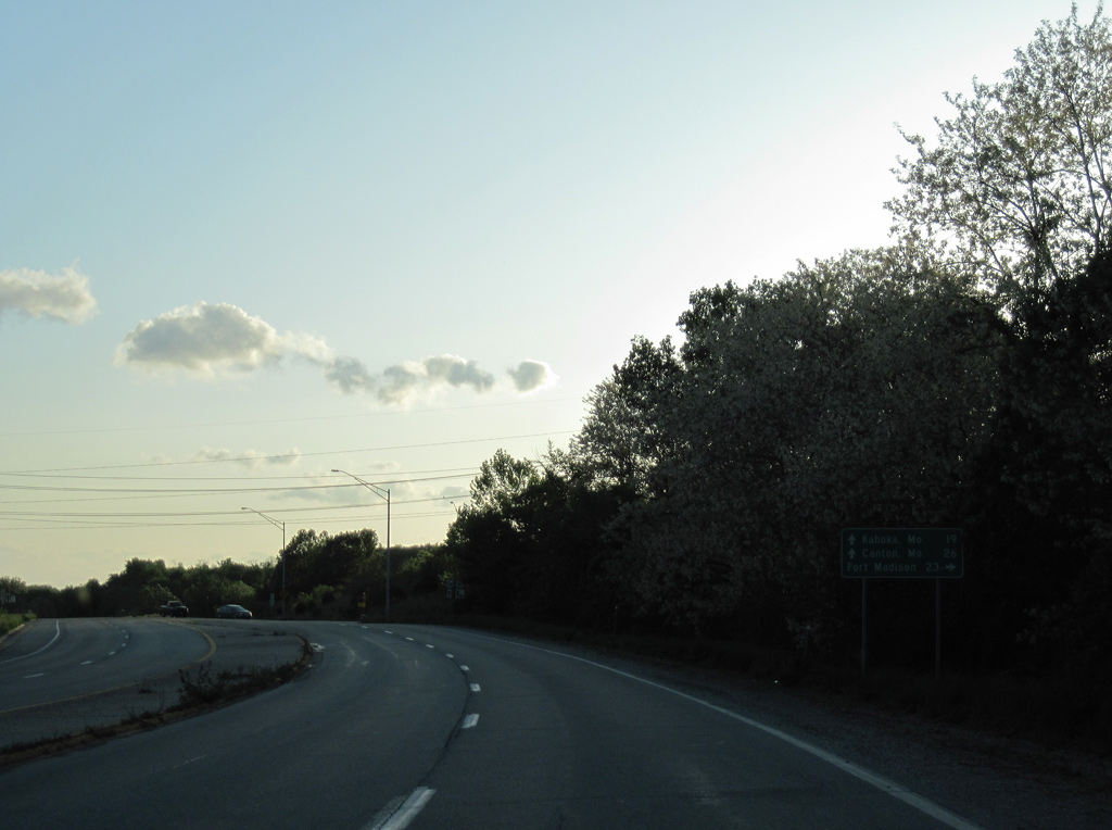
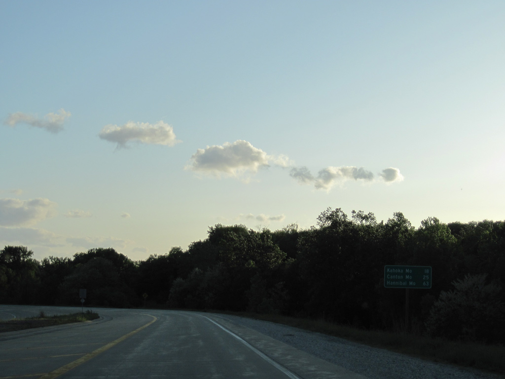
U.S. 61 south and U.S. 136 west overlap for three miles before separating on respective paths to Canton (26 miles) and Kahoka (19 miles) in Missouri.
05/07/10
West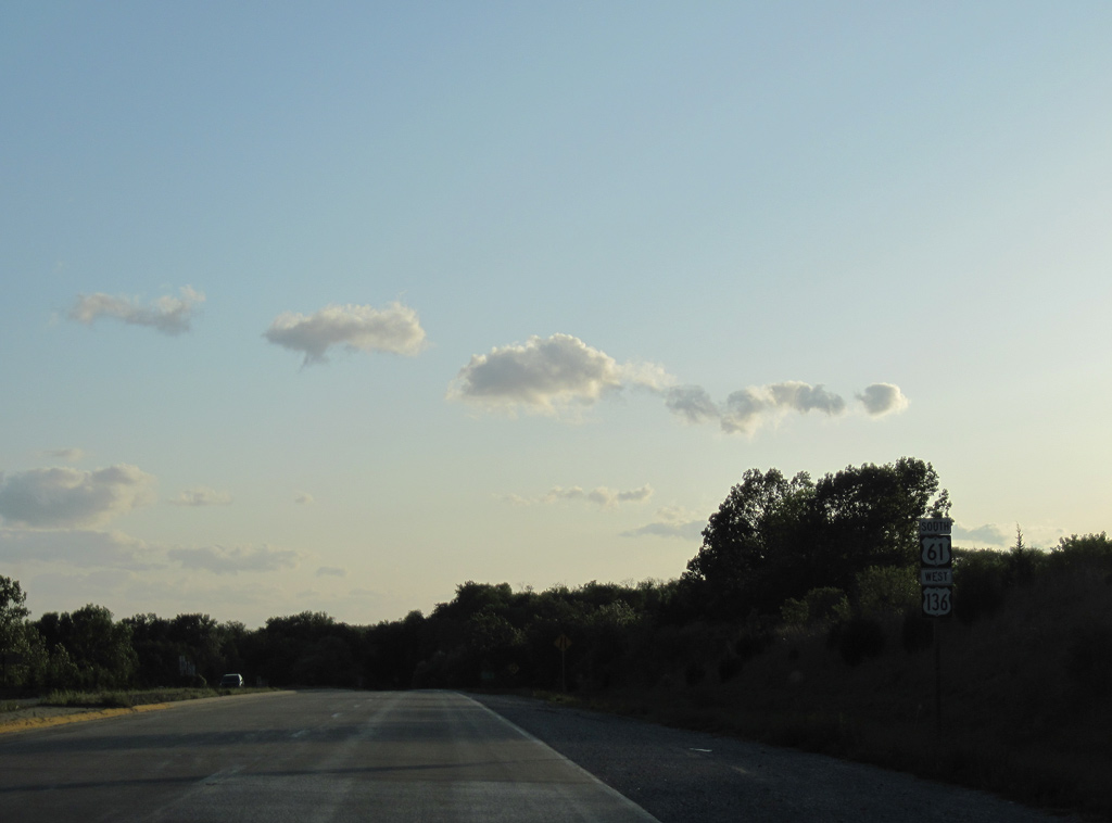
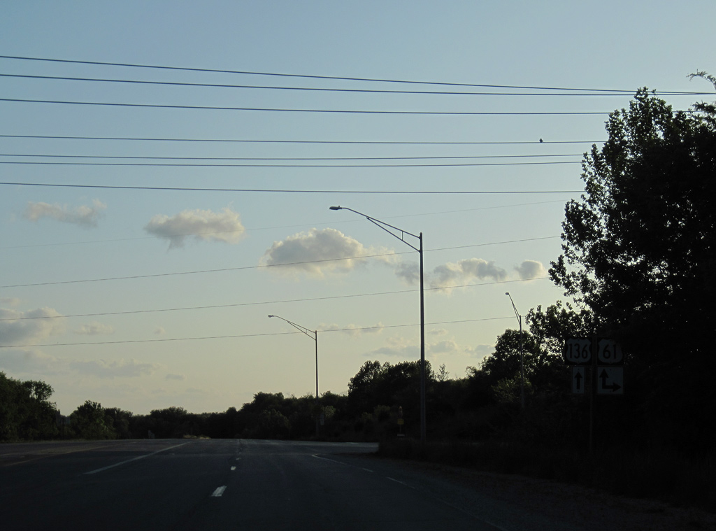
Just west of their merge, U.S. 61 south / U.S. 136 west reduce from four to two lanes.
05/07/10
U.S. 61 heads west from Alexandria to combine with the Avenue of the Saints corridor south to Hannibal (63 miles).
05/07/10
A nondescript two lane bridge carries U.S. 61/136 across the Des Moines River. This span opened in 1994 to replace a 1934-built truss bridge just to the west.
05/07/10

Looking upriver at the Des Moines where the original U.S. 61/136 bridge once crossed. The Des Moines flows 525 miles southeast from Murray County, Minnesota into the Mississippi nearby.
05/07/10

Welcome to Missouri sign posted as U.S. 61/136 enter Clark County on the outskirts of Alexandria.
05/07/10
Photo Credits:
- Alex Nitzman: 05/07/10
Connect with:
Page Updated Thursday July 30, 2015.