
U.S. 141 North - Abrams to Crivitz

 North
North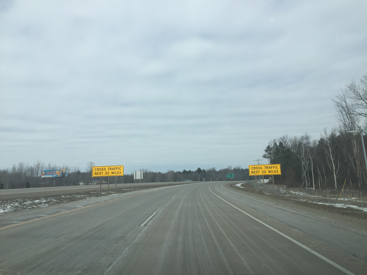
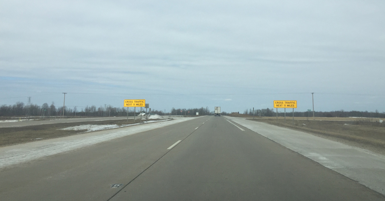
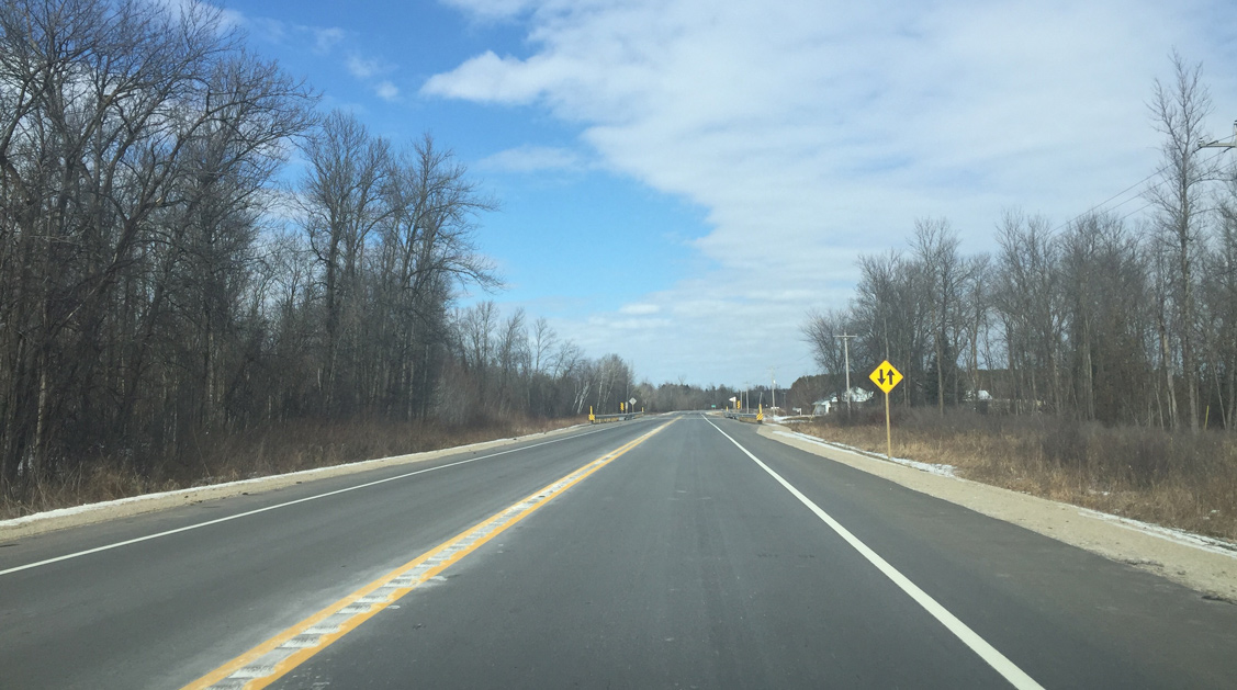
U.S. 141 continues as an expressway for 22 miles, as the sign warns of cross traffic. Crivitz is 32 miles away.
03/03/16
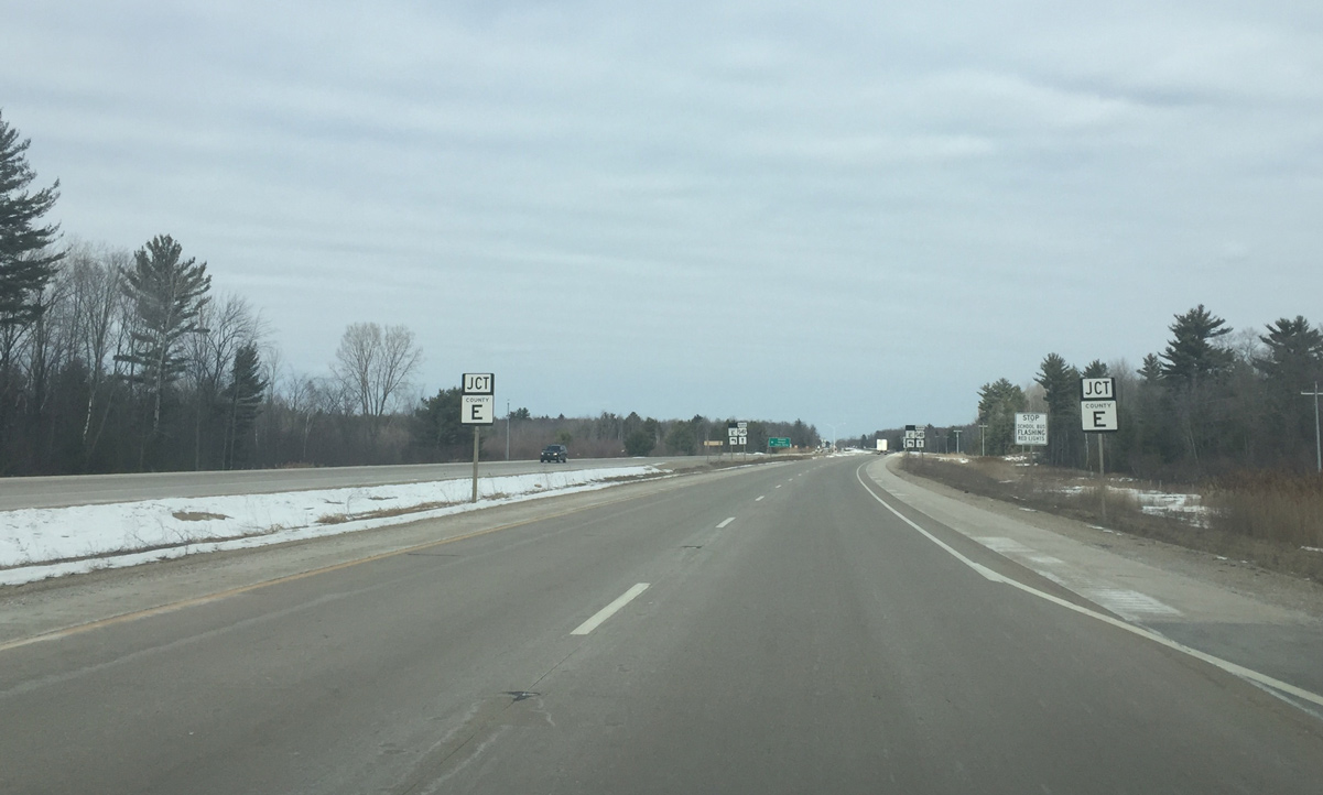
Oconto County E ends at U.S. 141 just north of the Pensaukee River. The forthcoming intersection with CTH-E was modified for a J turn because of crashes.
03/03/16
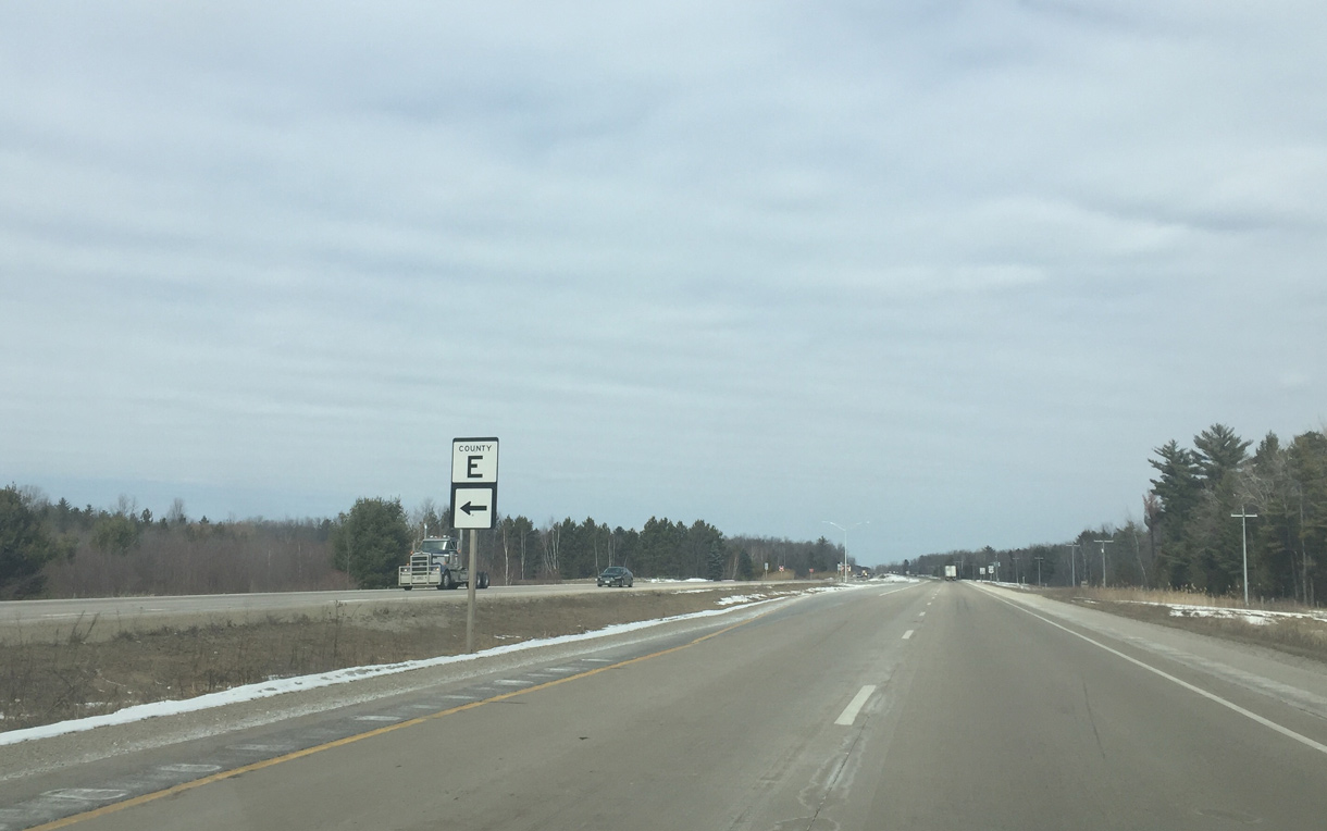
Northbound Wis 32 traffic wanting to bypass Pulaski and take advantage of the U.S. 41/141 freeway uses County E west to cut across Oconto County to Wis 32 at Green Valley. The country trunk highway is also an alternative to Wis 22 traffic wanting to bypass Oconto Falls.
03/03/16
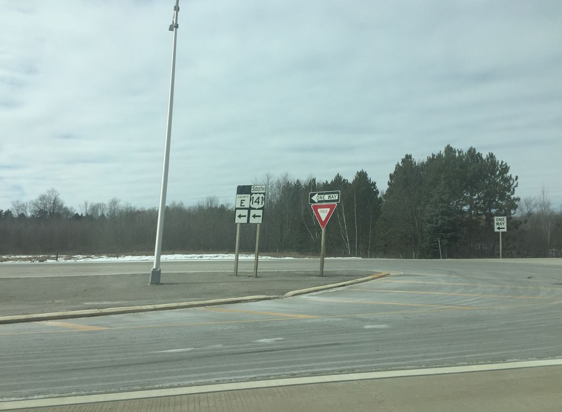
Motorists heading to County E make a U turn here and then turn right onto County E from U.S. 141 south.
03/03/16
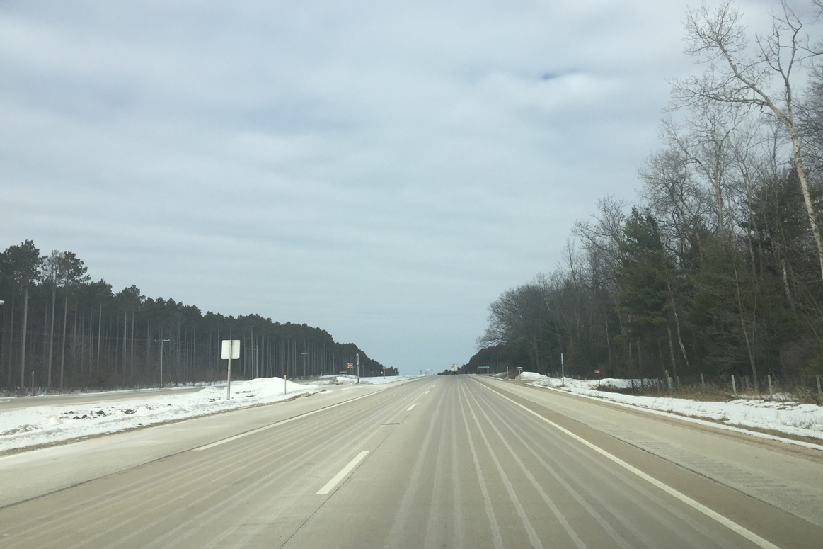
US 141 progresses north through a wooded area ahead of Kruegers Quarry Road in this scene. The landscape becomes more wooded than farmland as U.S. 141 travels further north.
03/03/16

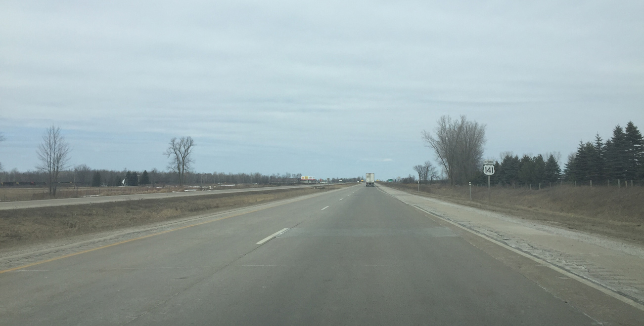
Northbound U.S. 141 reaches the unincorporated community of Stiles five miles after the split with U.S. 41.
03/03/16
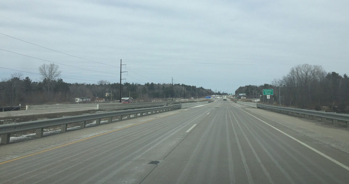
U.S. 141 spans the Oconto River east of Machickanee Flowage, a 436 acre lake with a maximum depth of 21 feet.
03/03/16
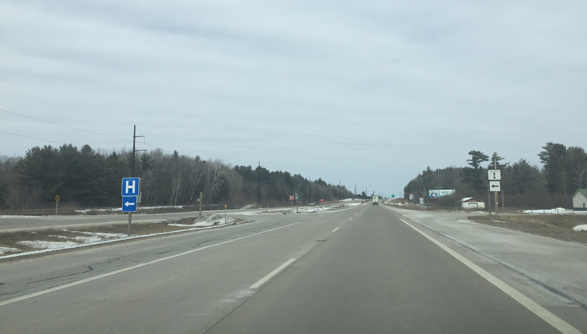
CTH-I stems west from U.S. 141 to the city of Oconto Falls and HSHS St. Clare Memorial Hospital.
03/03/16
Wis 22 follows and odd route across Wisconsin. It starts at U.S. 51 north of Madison and stays north until Waupaca, where it mainly travels northeast/east until it ends in Oconto.
03/03/16
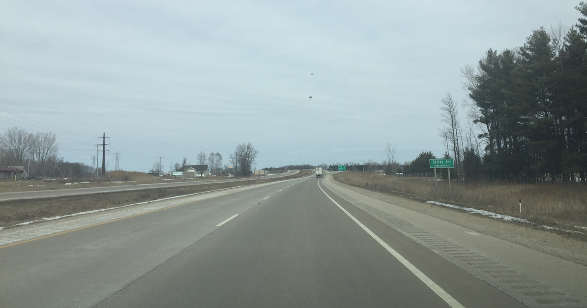
U.S. 141 and STH-22 cross paths at Stiles Junction. The abandoned rail depot can be seen to the left.
03/03/16
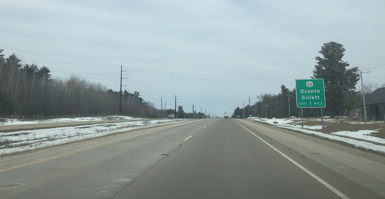
Wis 22 leads west from the diamond interchange with U.S. 141 six miles to Oconto Falls and 14 miles to Gillett. The trunk highway also heads east to Oconto, but most traffic heading north most likely used U.S. 41.
03/03/16
A confirming marker for U.S. 141 stands as the expressway shifts westward to again overtake the old alignment north of Stiles Junction.
03/03/16
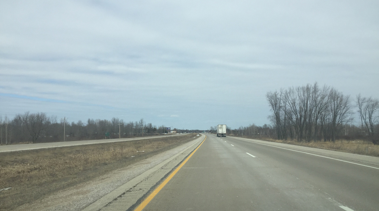
The small village of Lena is a four miles ahead. Crivitz and Niagara follow in 26 and 66 miles respectively.
03/03/16
Another set of cross traffic warning signs appears at Duame Road (old U.S. 141) south and McCarthy Road east.
03/03/16
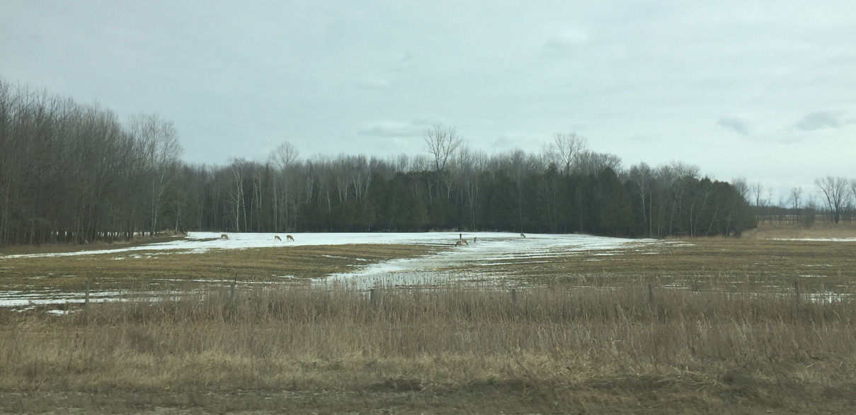
Deer can be seen along roadways in the Wisconsin northwoods.
03/03/16
Nearing the intersection with Guelig Road west on U.S. 141 north in the town of Stiles.
03/03/16
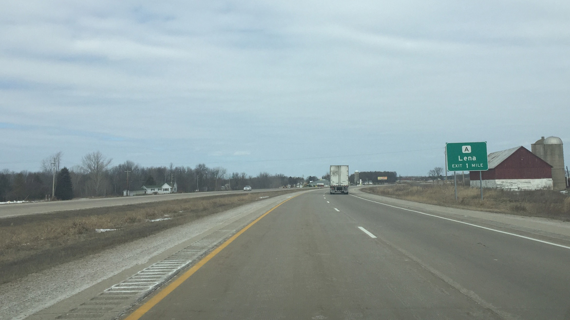
U.S. 141 curves east onto a limited access bypass of Lena while the original route traveled through the village center along Rosera Street and Old 141. A diamond interchange connects the US highway with Lena via County A (Main Street) otherwise.
03/03/16
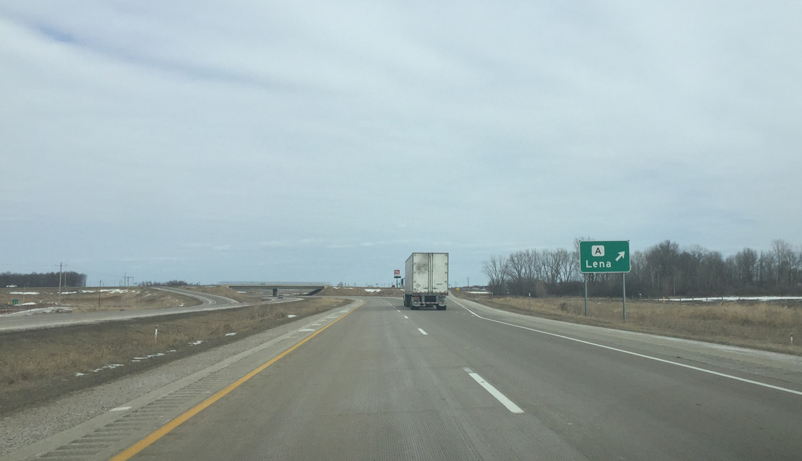
Northbound U.S. 141 at the off-ramp for CTH-A (Main Street). CTH-A runs east to U.S. 41 and west to Spruce and along a stair stepped route to Wis 32 near Suring.
03/03/16
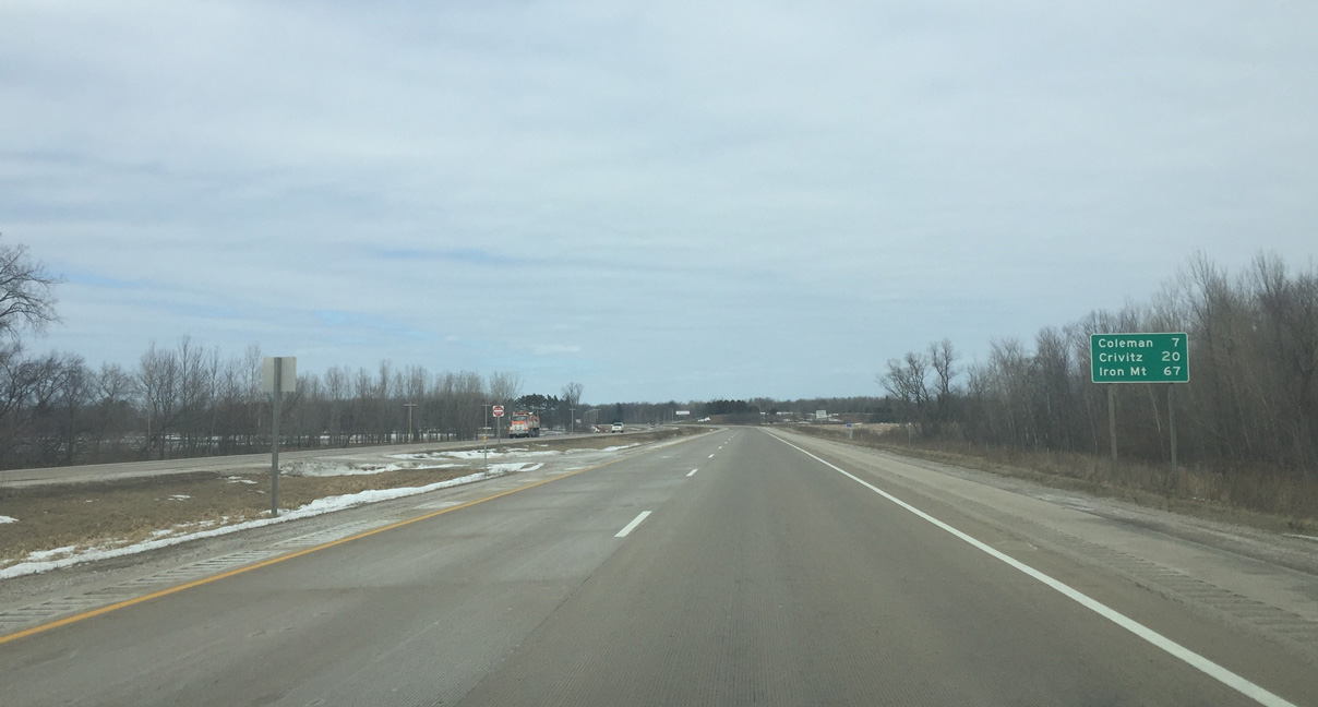
Coleman is the next community along U.S. 141 north in seven miles.
03/03/16
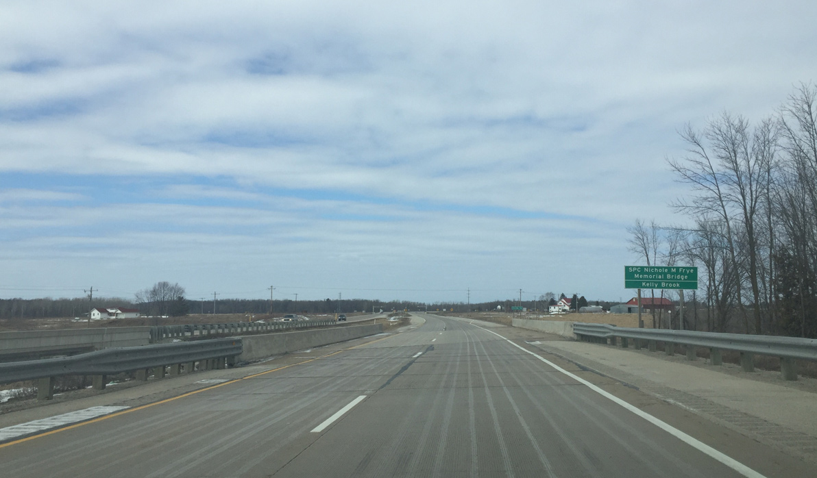
Crossing Kelley Brook and bridges in honor of a fallen soldier. An S-curve takes U.S. 141 northwest across disconnected sections of old U.S. 141.
03/03/16
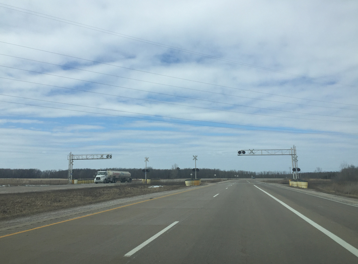
Escanaba and Lake Superior railroad crossing. The ELS Railroad is a low density line which is why there is an at grade crossing.
03/03/16
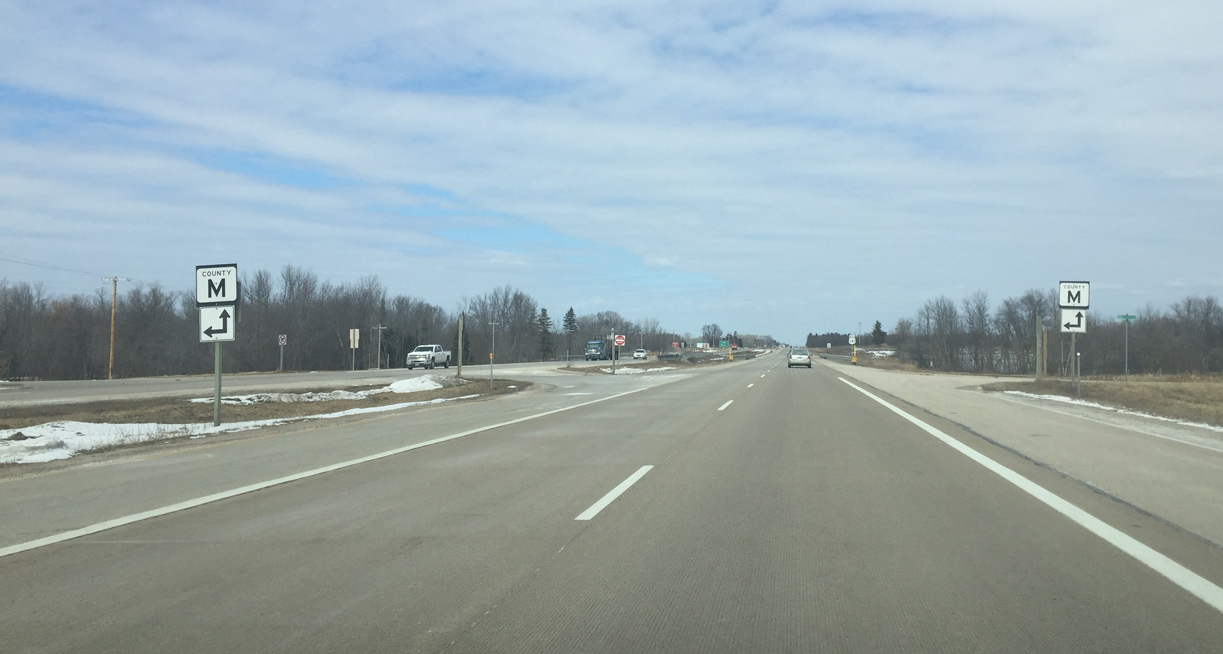
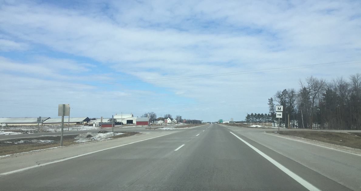
Oconto County M ventures west along a rural route to Hickory Corners and CTH-Z near Suring.
03/03/16
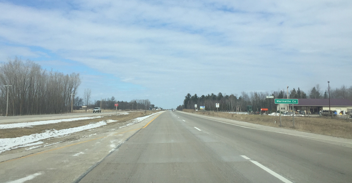
U.S. 141 travels northward through Marinette County for the remainder of its journey to Michigan.
03/03/16
County M resumes east from U.S. 141 to link with U.S. 41 west of the city of Peshtigo.
03/03/16
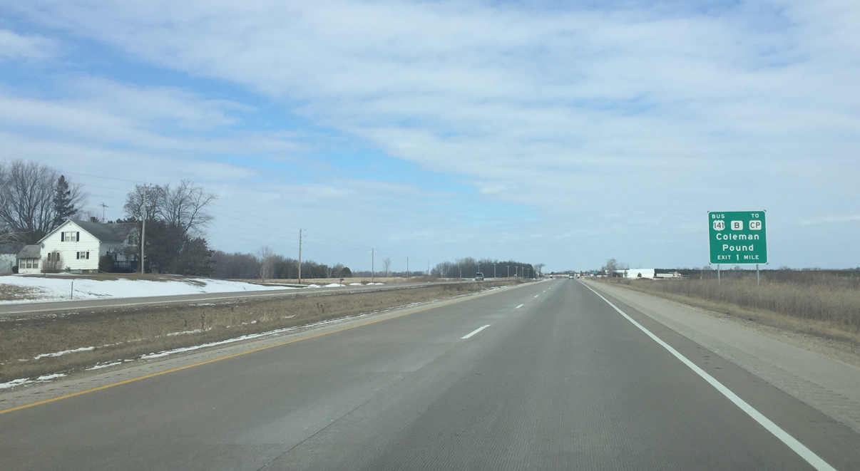
The first of two interchanges in Marinette County joins U.S. 141 with U.S. 141 Business & CTH-B in one mile. County CP follows Business 141 for its entirety and is named for Coleman and Pound, the villages it passes through. Business 141 is a local designation that is maintained by Marinette County.
03/03/16
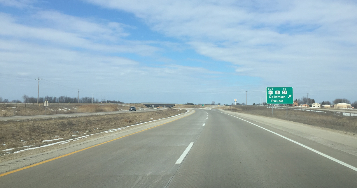
County B forms an L-shaped route west from Coleman to Klondike and south to Wis 22 at Oconto Falls. The trunk highway east continues to Peshtigo.
03/03/16
Crivitz is the next community ahead in 13 miles while U.S. 141 bypasses Coleman and Pound to the west.
03/03/16
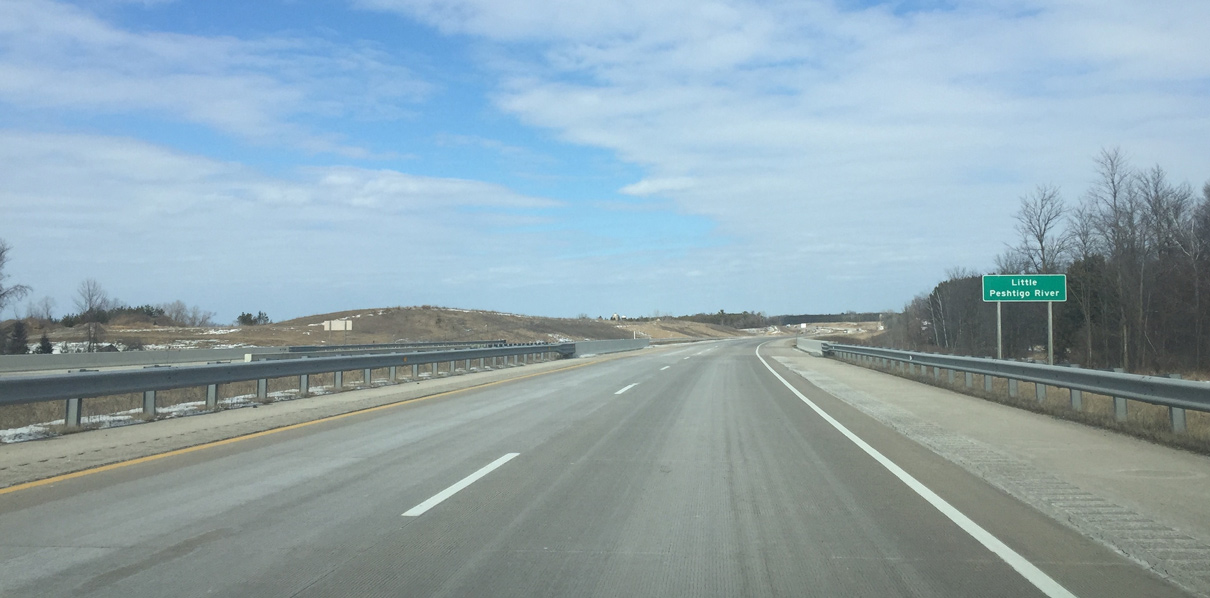
U.S. 141 north at Little Peshtigo River bridge. The U.S. 141 expressway north from Lena to Coleman and Pound was completed in 2007.
03/03/16
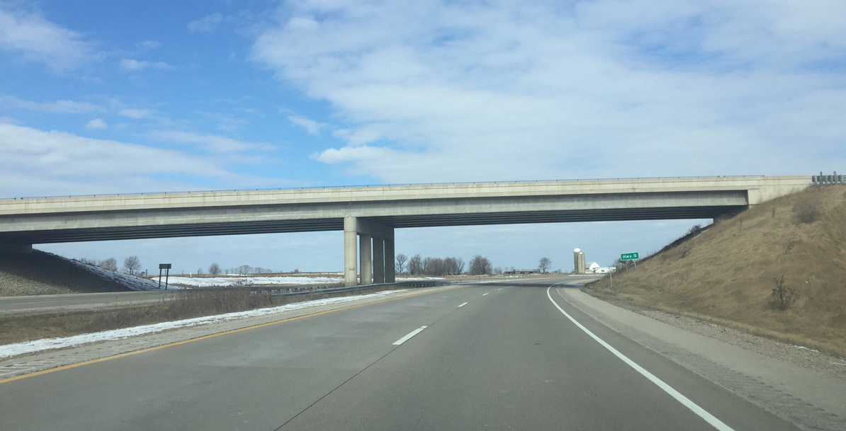
County Q forms a loop south from Wis 64 through the village of Pound. The trunk highway passes over U.S. 141 with no access.
03/03/16
When U.S. 141 was upgraded to an expressway, there was an at grade intersection where the Wis 64 interchange is now. Frequent accidents prompted design and construction of an interchange between the two highways.
03/03/16

Veering back to the east, U.S. 141 Business crosses over U.S. 141 just west of the E&LS Railroad crossing.
03/03/16
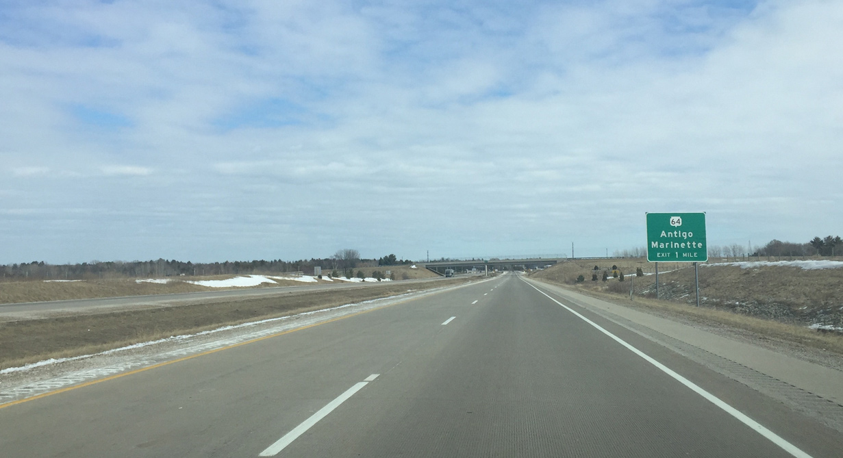
Wis 64 crosses the entire width of Wisconsin between Stillwater and Marinette. Business 141 also ends at this interchange.
03/03/16
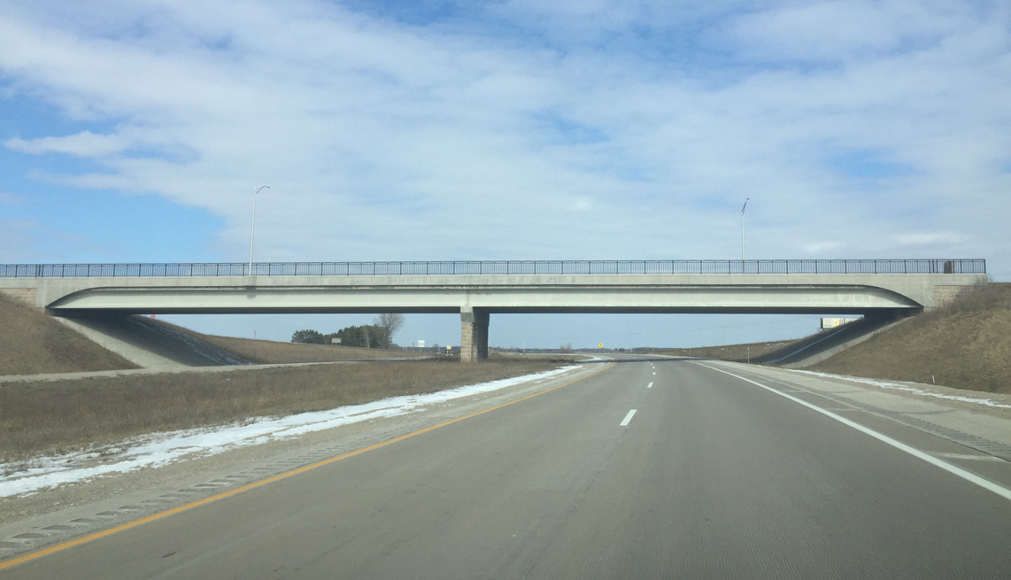
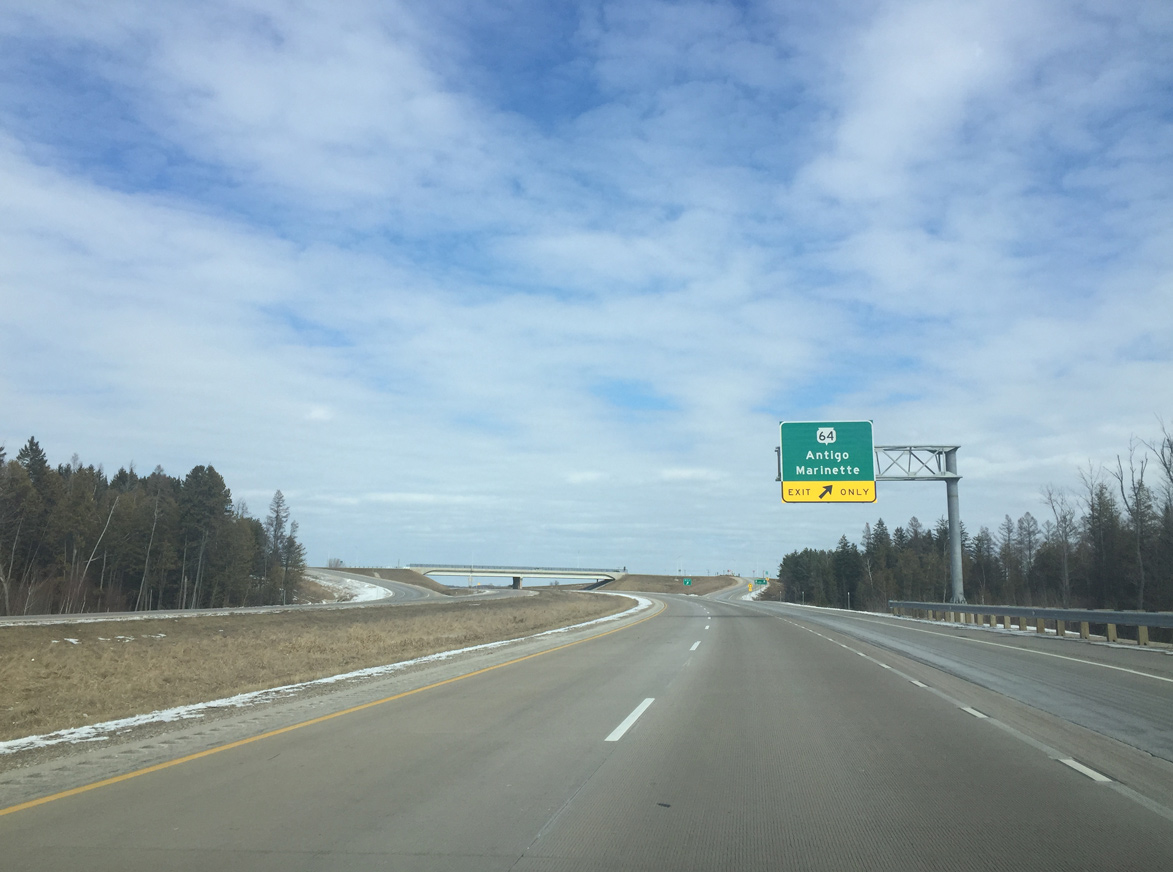
The dumbbell interchange at Wis 64 opened to traffic on October 31, 2014. The project cost $6 million.1
03/03/16
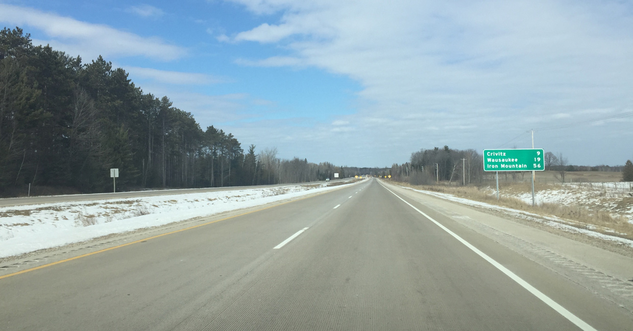
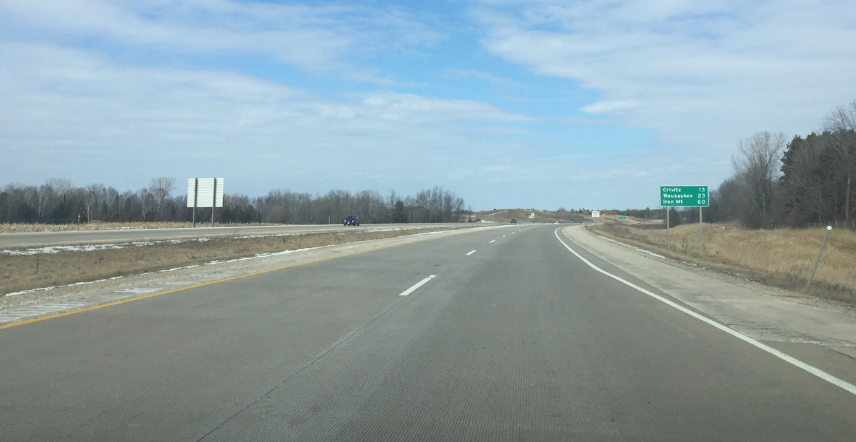
Distance sign posted nine miles south of the village of Crivitz and 19 miles from the village of Wausaukee.
03/03/16
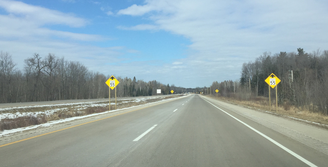
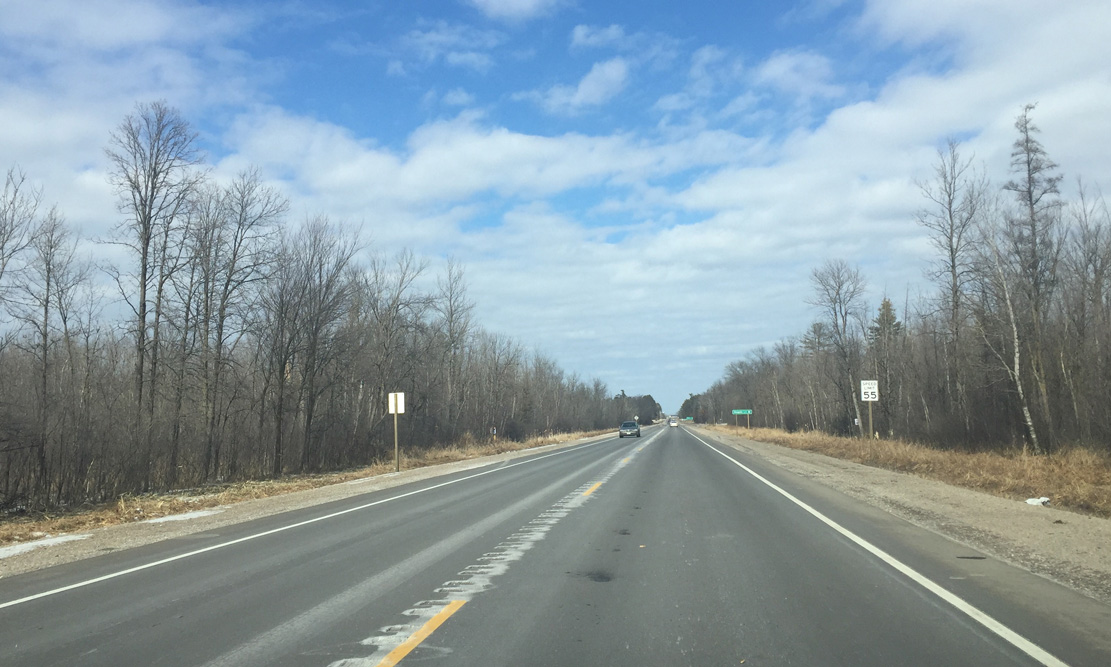
Speed limits reduces to 55 MPH as the expressway ends.
03/03/16
U.S. 141 reduces to a two lane highway ahead of Beaver Creek.
03/03/16
Approaching Beaver Creek on U.S. 141 north.
03/03/16

The unincorporated community of Beaver follows at the cross roads with County P.
03/03/16

Confirming shield for U.S. 141 posted beyond County P at Beaver.
03/03/16
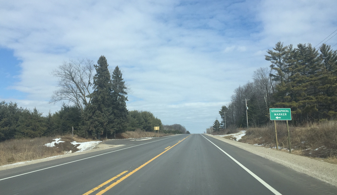
Geographical marker recognizing the 45th parallel. This location marks the halfway point between the equator and the North Pole.
03/03/16
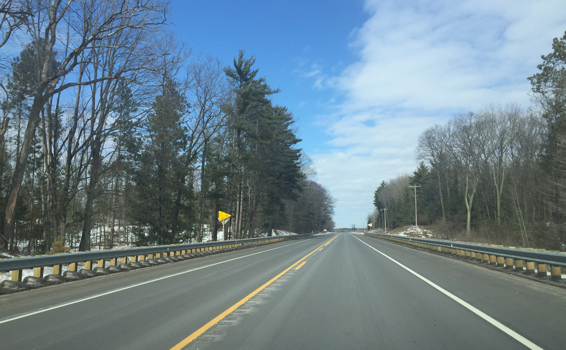
Continuing north through woodlands on U.S. 141 between West 22nd and 24th Roads.
03/03/16
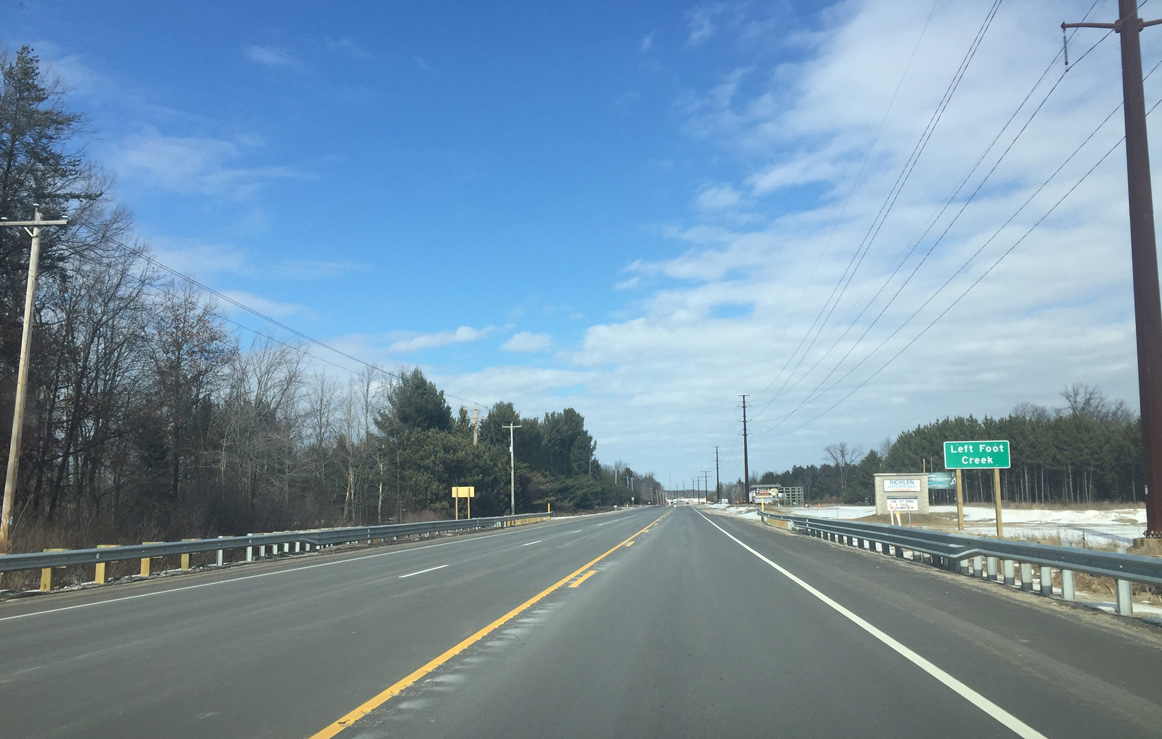
Crossing over Left Foot Creek along U.S. 141 north as a transmission line joins the corridor. The transmission line derives some of its power from a hydro plant west of Crivitz.
03/03/16
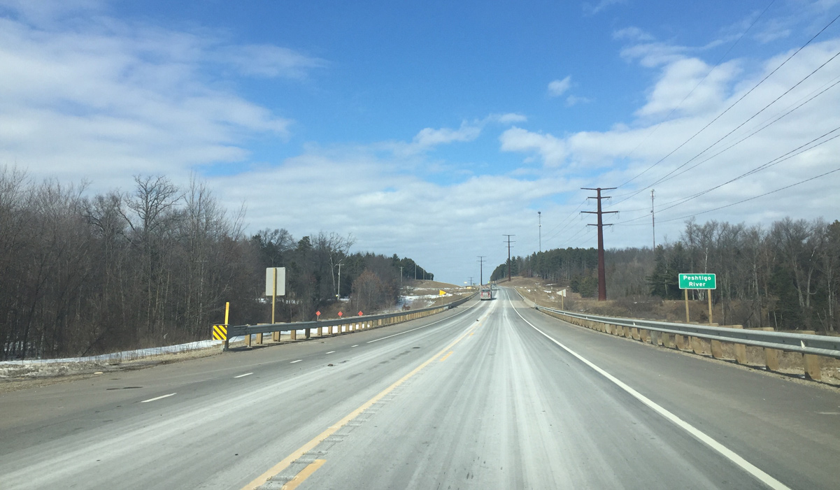
Northbound U.S. 141 at the Peshtigo River. The 136 mile long waterway winds southeast from Forest County to Green Bay at Peshtigo Harbor.
03/03/16
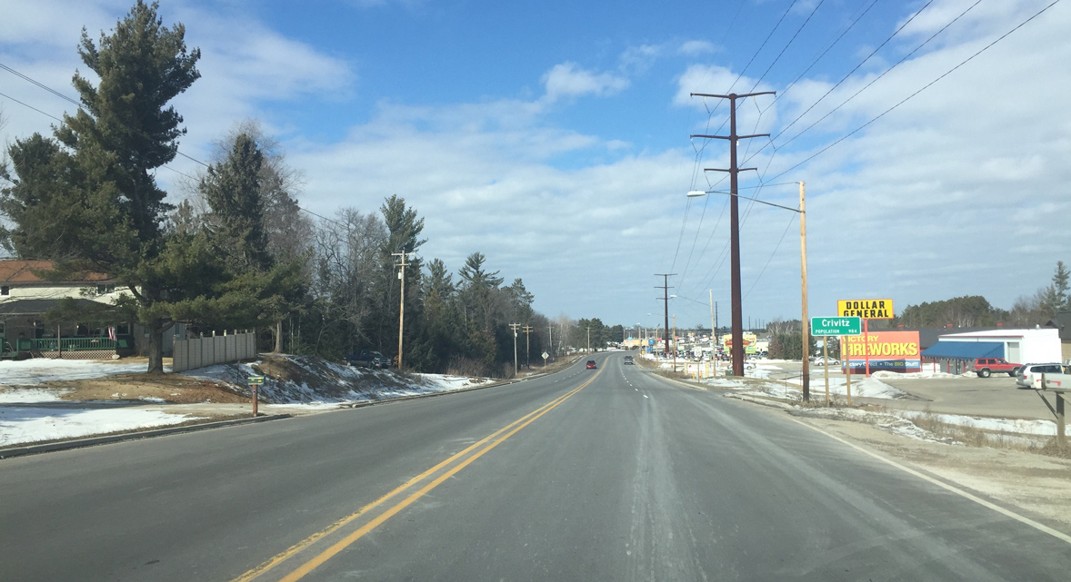
Entering the village of Crivitz along U.S. 141 north. Founded in 1883, Crivitz is home to a number of services for area tourist interests.
03/03/16
U.S. 141 expands into a four lane commercial arterial through the south side of Crivitz.
03/03/16
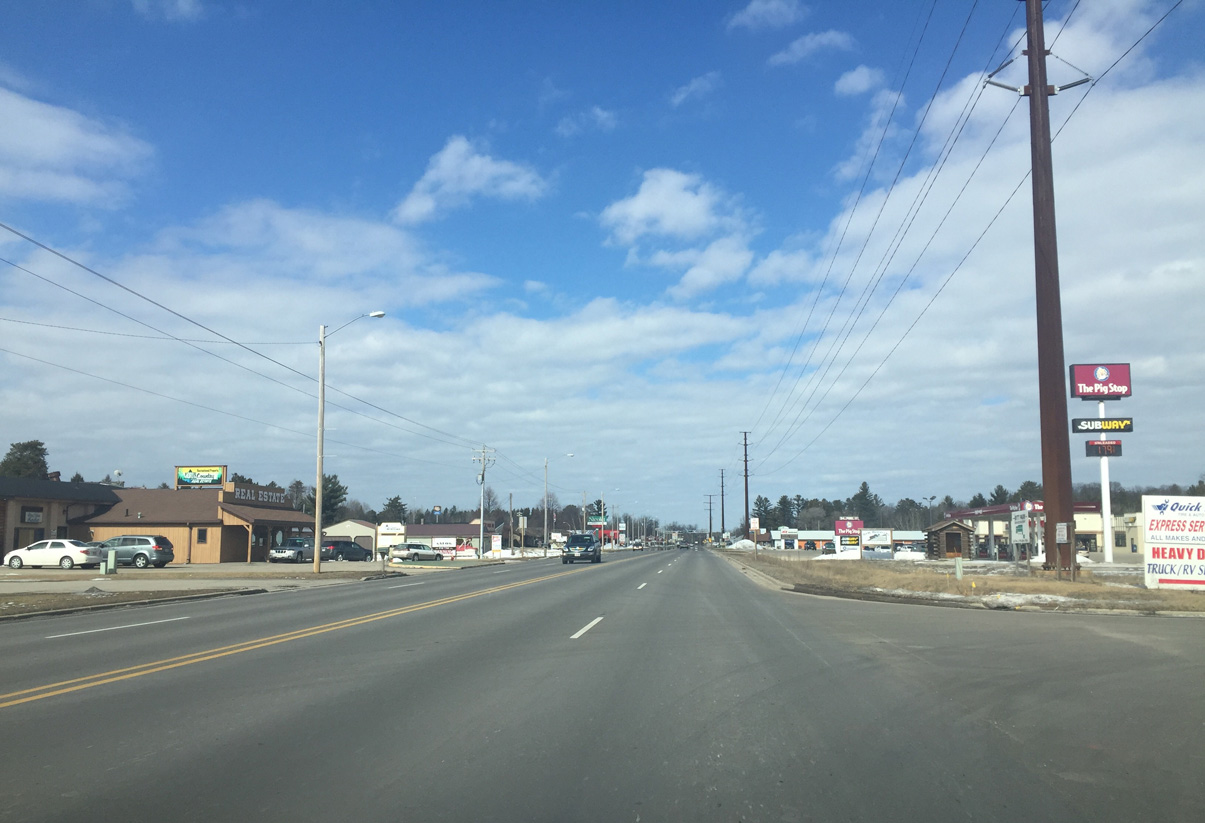
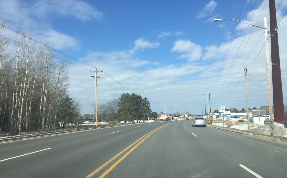
An array of businesses line U.S. 141 as the four lane route progresses north to another at-grade crossing with the E&LS Railroad.
03/03/16
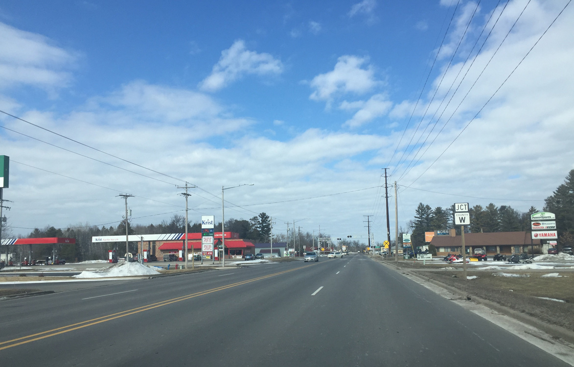
Forthcoming CTH-W forms the main east-west route across Crivitz. The trunk highway angles southeast to Wis 64 and west to Wis 32 at Mountain.
03/03/16
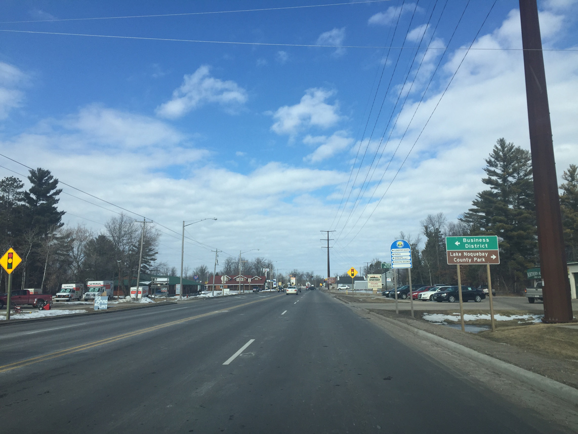
The Crivitz city center lies along County W (Henriette Avenue) just west of U.S. 141. Lake Noquebay County Park is a five mile drive to the east via CTH-W and CTH-GG.
03/03/16
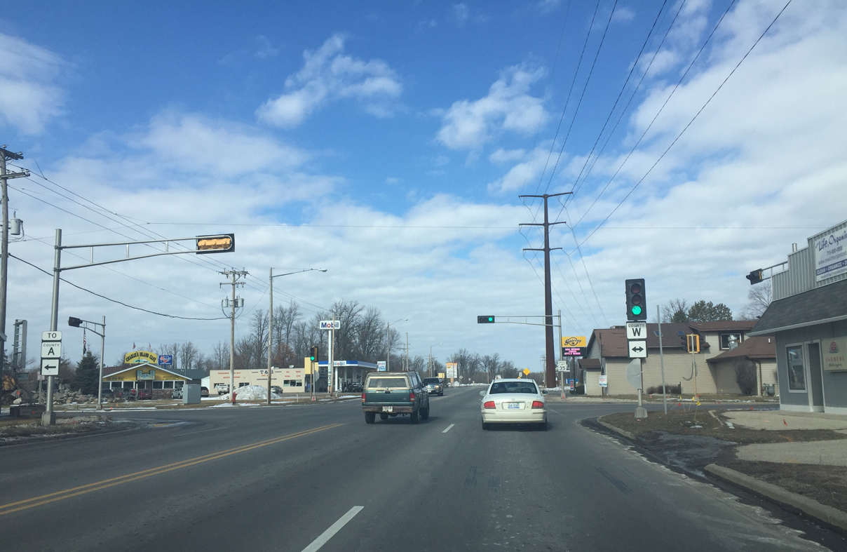
Traffic lights operate at U.S. 141 and County W (Henriette Avenue) in Crivitiz. This is the first signal along U.S. 141 since Howard and Interstate 41.
03/03/16
U.S. 141 narrows to two lanes beyond County W and this reassurance marker.
03/03/16
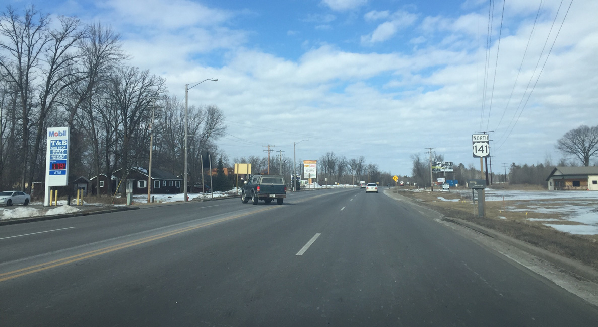
Leaving Crivitz, the speed limit climbs back to 55 MPH.
03/03/16
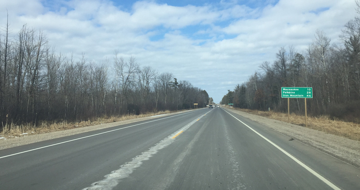
Wausaukee is the next community in ten miles, followed by Pembine (28 miles) and Iron Mountain, Michigan (46 miles).
03/03/16
References:
- "US 141/Hwy. 64 Interchange to Open." WisDOT News release, October 30, 2014.
Photo Credits:
- Peter Johnson: 03/03/16
Page Updated Tuesday April 19, 2016.