
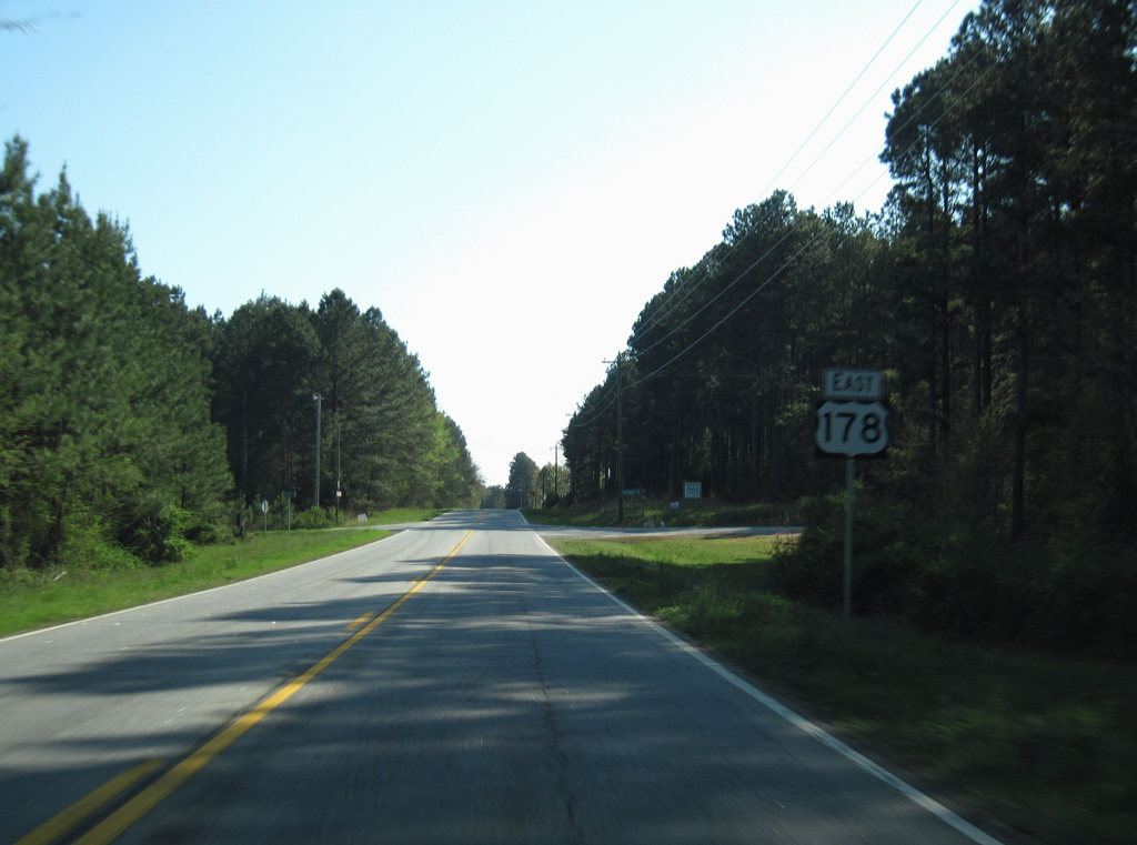
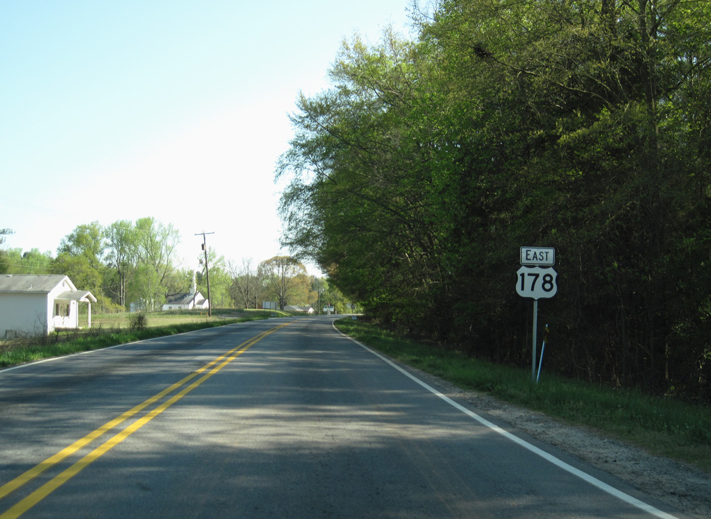
U.S.178 East

 East
East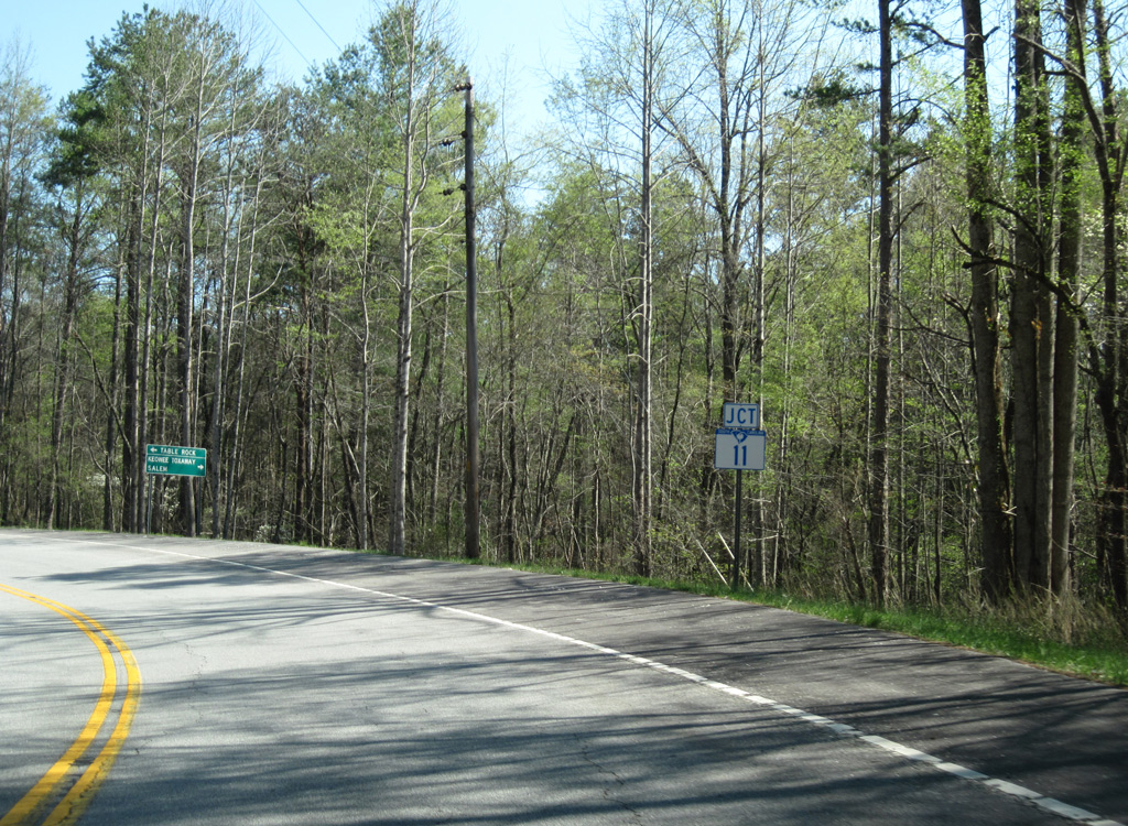
U.S. 178 (Moorefield Memorial Highway) navigates along a winding course 10.46 miles from the North Carolina state line to S.C. 11.
04/12/14
04/12/14
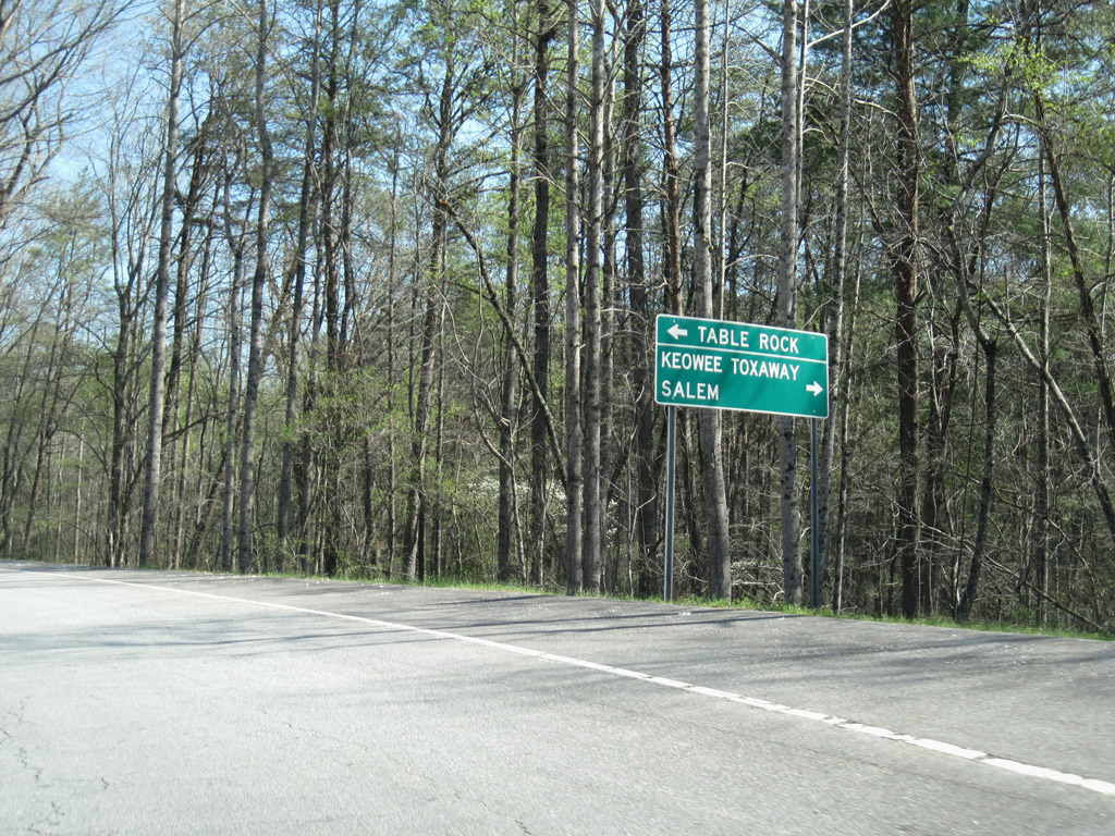
S.C. 11 traverses mountainous areas of the South Carolina Upstate west to Keowee Toxaway State park and Salem and east to Table Rock State Park.
04/12/14
04/12/14
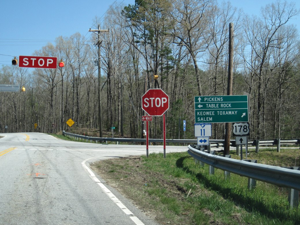
S.C. 11 is part of the Cherokee Foothills Scenic Highway.
04/12/14
04/12/14
04/12/14
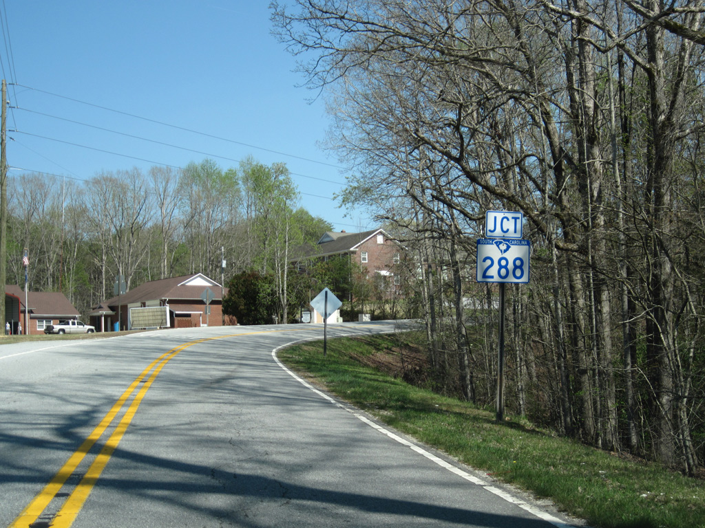
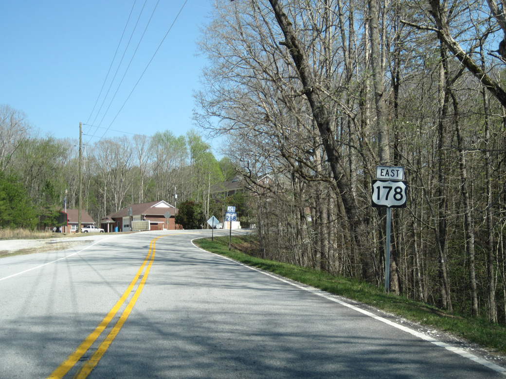
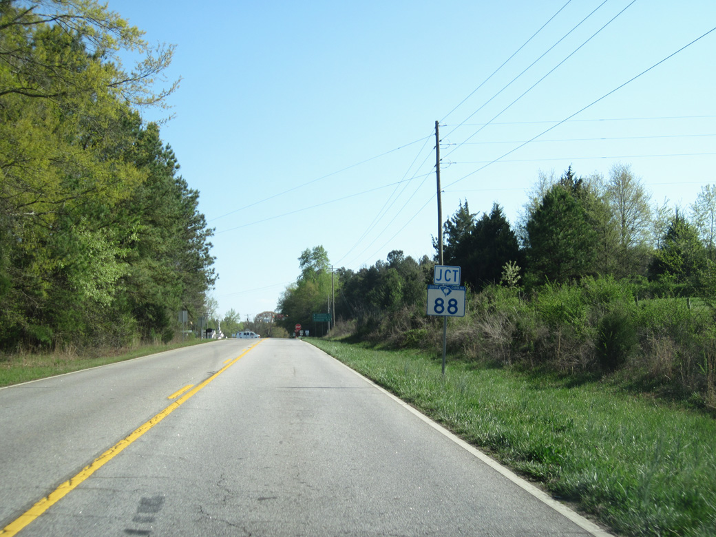
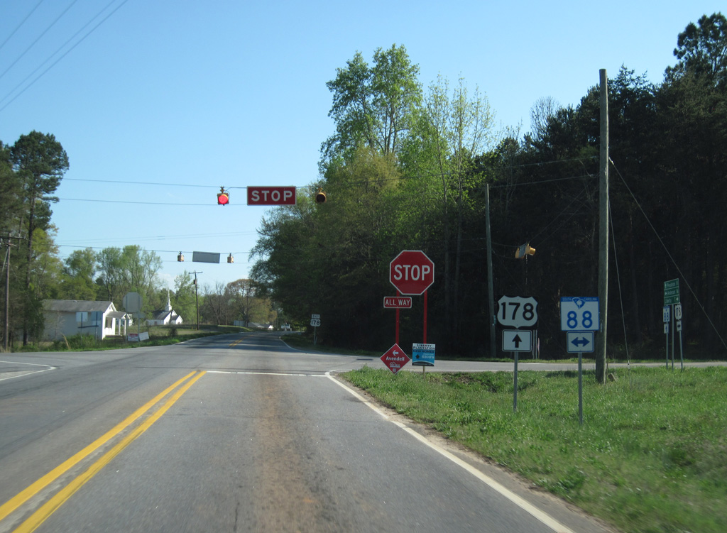
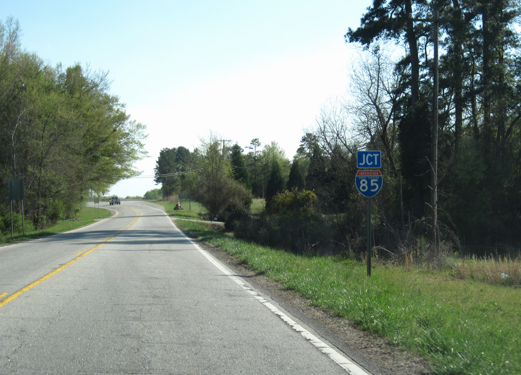
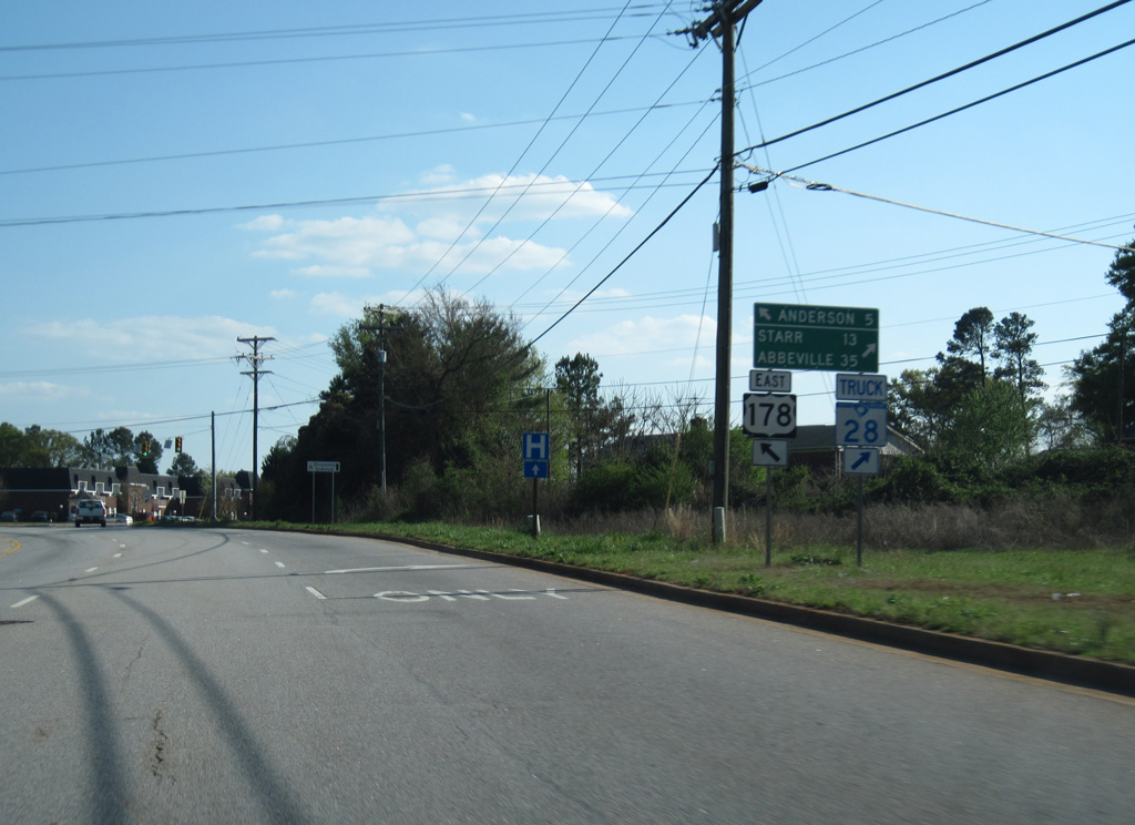
U.S. 178 intersects the west end of S.C. 288 (Table Rock Road) 0.23 miles southeast of S.C. 11.
04/12/14
04/12/14
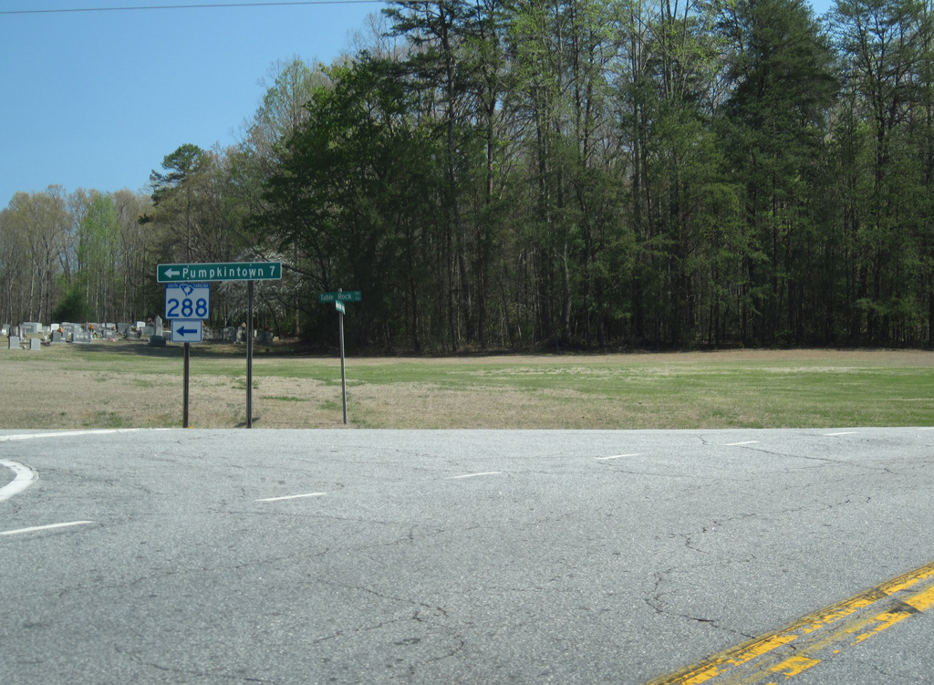
A 15.26 mile long highway east to U.S. 276 at Travelers Rest, S.C. 288 meets S.C. 8 at Pumpkintown in 6.24 miles.
04/12/14
04/12/14
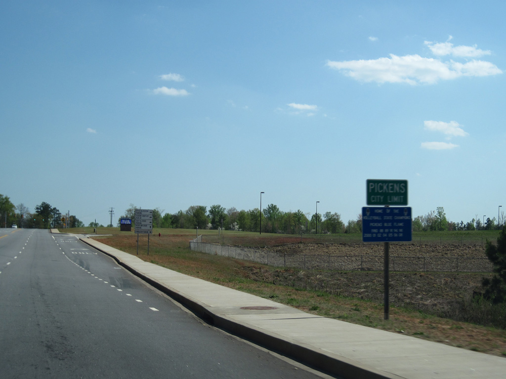
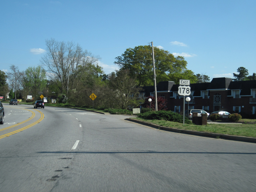
U.S. 178 (Moorefield Memorial Highway) expands to a four lane boulevard southward into the city of Pickens.
04/12/14
04/12/14
U.S. 178 (Ann Street) south at Sparks Lane (Road 296) in Pickens.
04/12/14
04/12/14
04/12/14

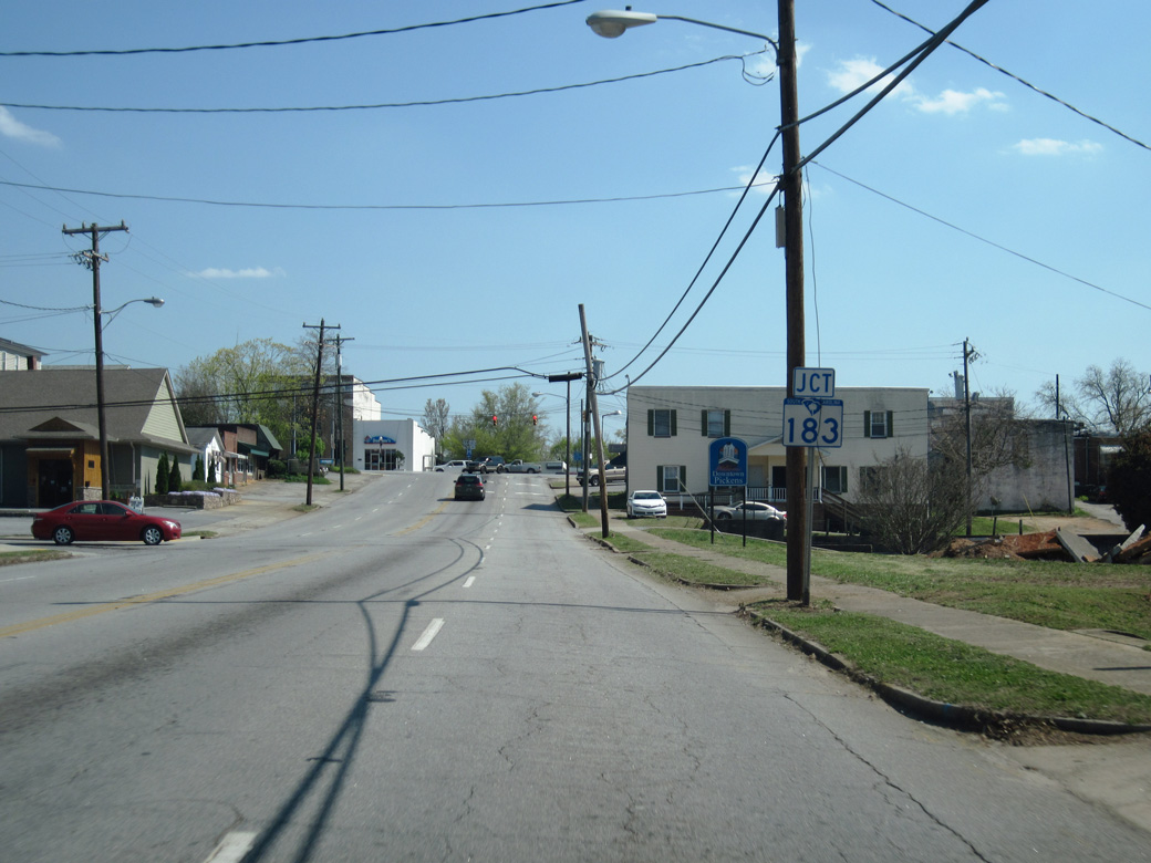
U.S. 178 dog legs east alongside S.C. 183 (Main Street) between Ann and Pendleton Streets in Downtown Pickens.
04/12/14
04/12/14
S.C. 183 extends 0.21 miles east along Main Street from U.S. 178 to S.C. 8 (Hampton Avenue).
04/12/14
04/12/14

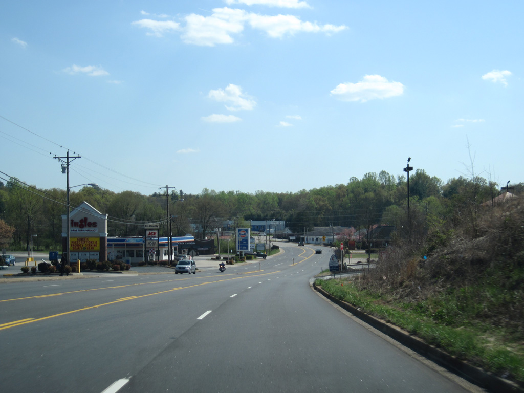
Entering the city of Liberty, U.S. 178 heads south along Pickens Drive.
04/12/14
04/12/14
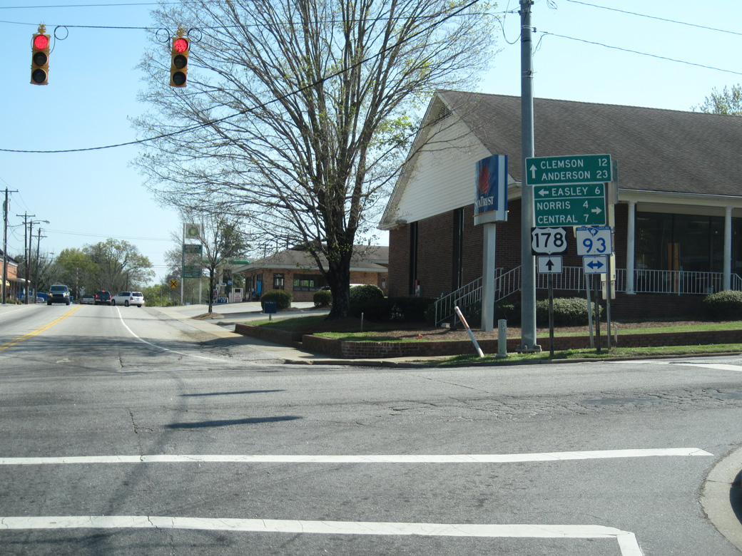
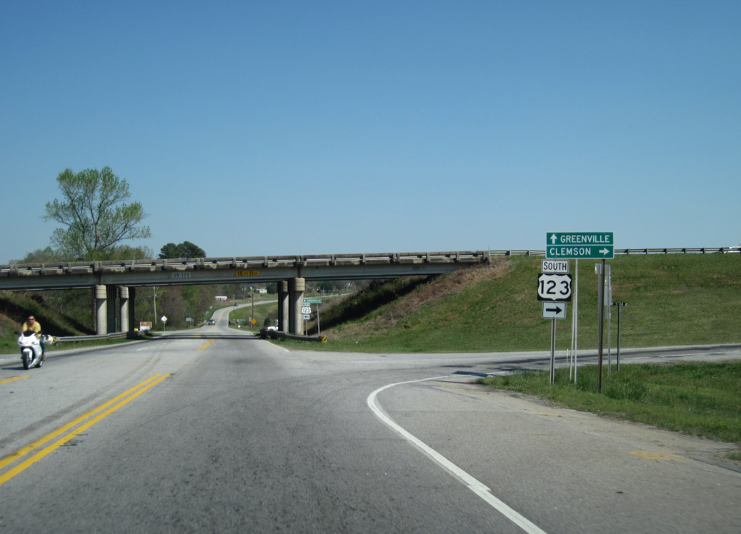
S.C. 93 follows the pre-freeway alignment of U.S. 123 west from Liberty to Norris, Central and Clemson and east to Easley.
04/12/14
04/12/14
04/12/14
04/12/14
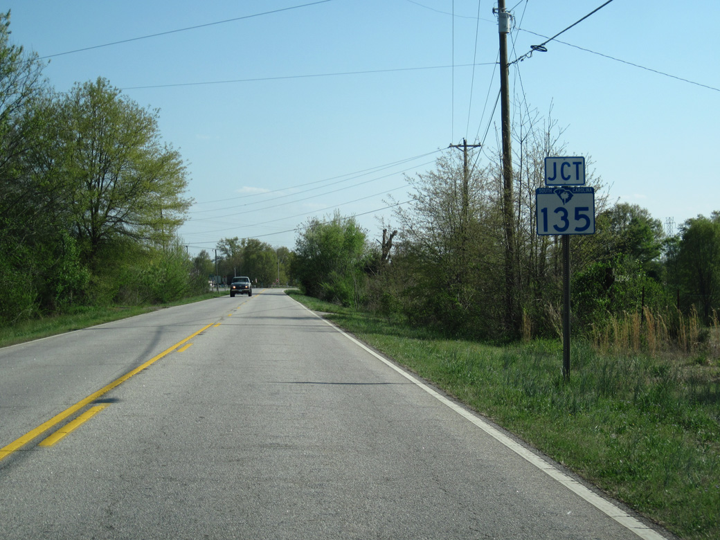
U.S. 178 converges with the south end of S.C. 135 (Anderson Highway) at a wye intersection beyond Five Forks.
04/12/14
04/12/14
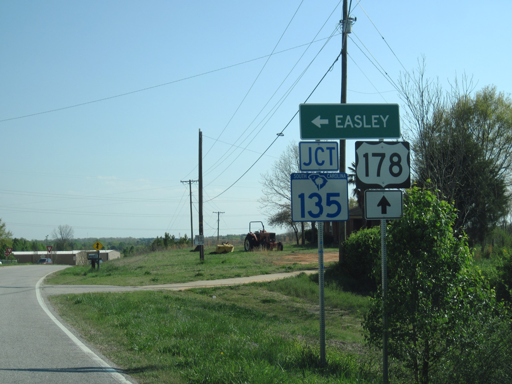
S.C. 135 (Anderson Highway) runs 5.75 miles northeast to S.C. 8 (Pelzer Highway) in the city of Easley.
04/12/14
04/12/14
04/12/14
04/12/14
04/12/14
04/12/14
04/12/14
04/12/14
04/12/14
04/12/14
04/12/14
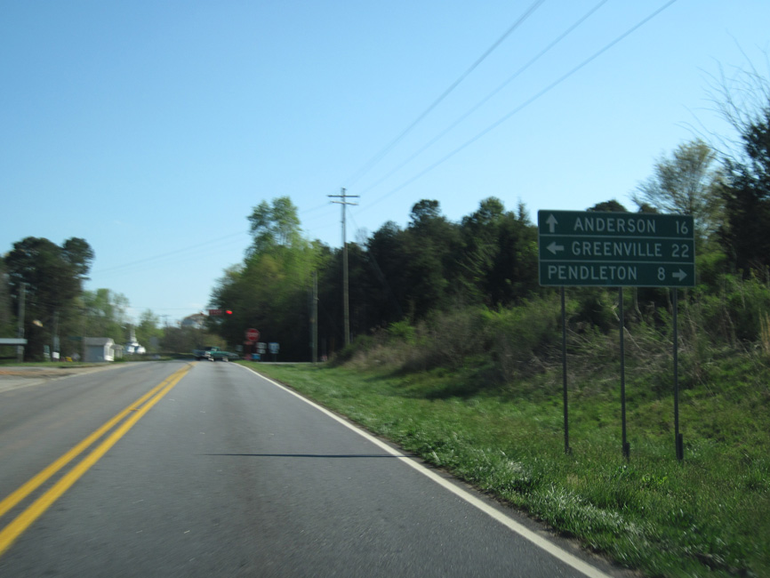
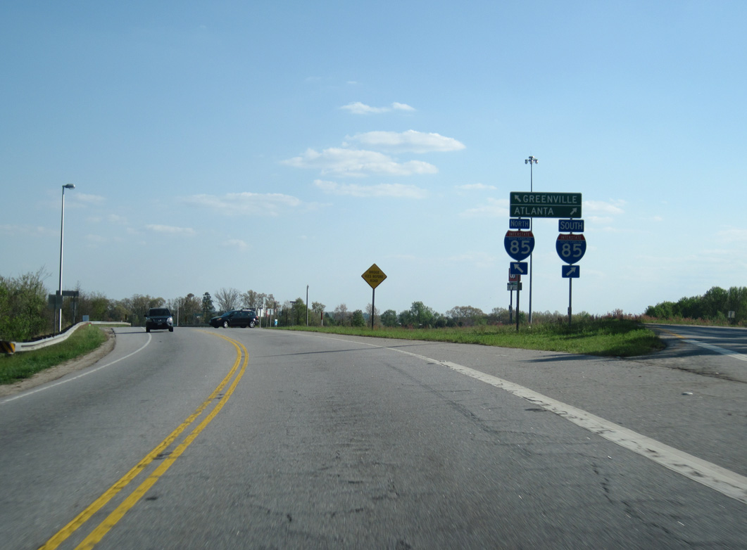
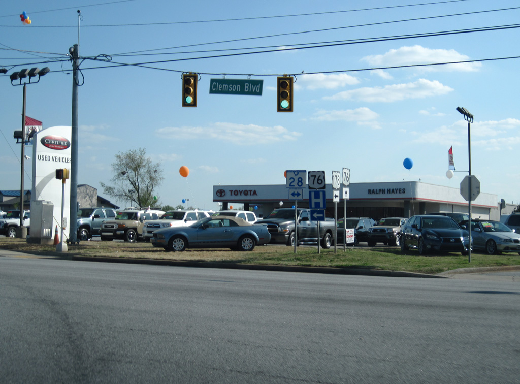
U.S. 178 Connector links U.S. 178 with S.C. 28 at U.S. 76 in Anderson, 0.18 miles to the southwest along Pearman Dairy Road.
04/12/14
04/12/14
04/12/14
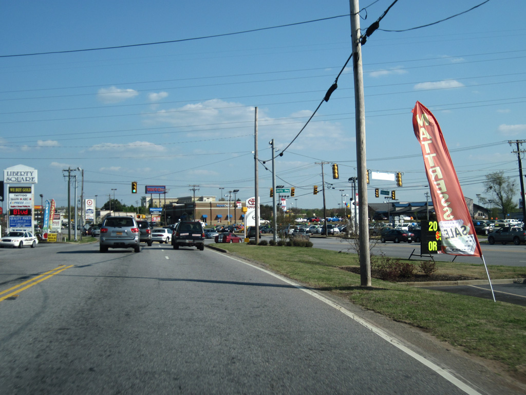
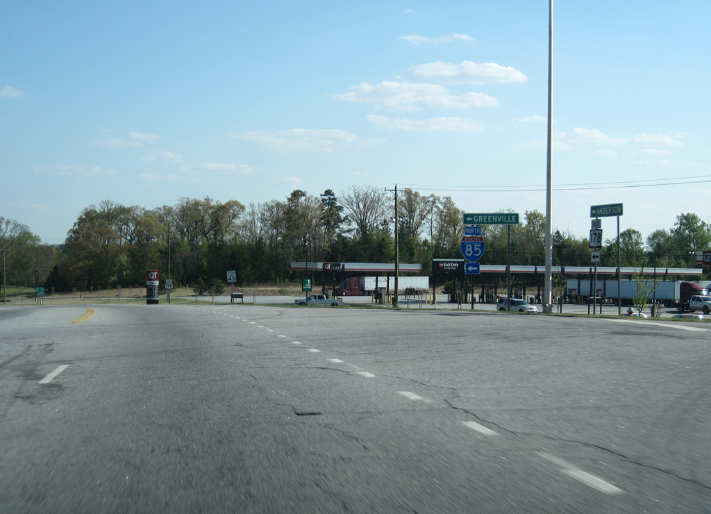
U.S. 178 (Liberty Highway) combines with U.S. 76/S.C. 28 Business (Clemson Boulevard) through a heavily commercialized area in north Anderson.
04/12/14
04/12/14
U.S. 76/178 and S.C. 28 Business overlap south to North Avenue en route to Downtown Anderson.
04/12/14
04/12/14
Photo Credits:
- Carter Buchanan: 04/12/14
Page Updated Thursday September 16, 2021.