
U.S.178 West

 West
West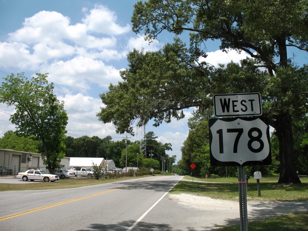
U.S. 178 commences westbound from a rural wye intersection with U.S. 78 by Four Hole Swamp near the settlement of Dorchester.
05/26/07
05/26/07
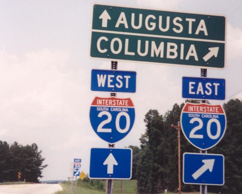
U.S. 178 (Fairview Road) meets Interstate 20 at a diamond interchange (Exit 39) near Samaria in western Lexington County.
08/05/00
08/05/00
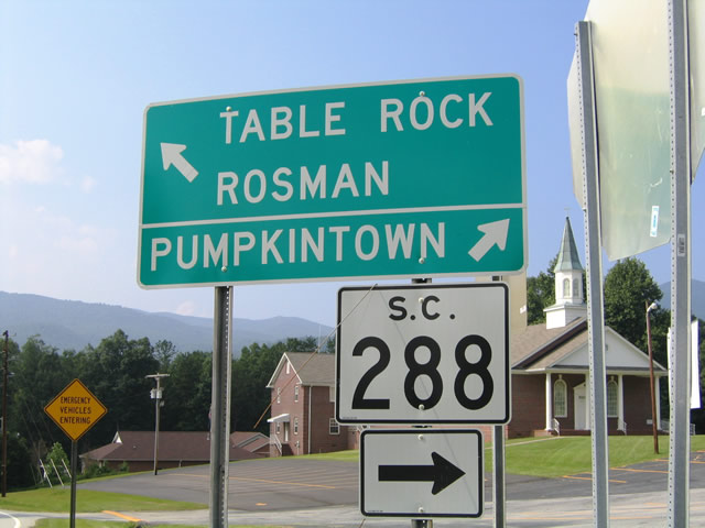
S.C. 288 (Table Rock Road) stems 15.26 miles east from U.S. 178 (Moorefield Memorial Highway) by Walnut Cove Mountain to U.S. 276 at Marietta.
07/23/04
07/23/04
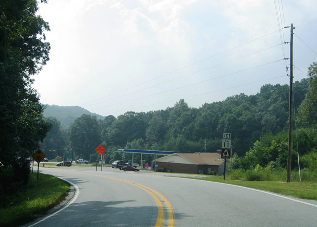
U.S. 178 curves west 0.23 miles from S.C. 288 to intersect S.C. 11 (Cherokee Foothills Scenic Highway).
07/23/04
07/23/04
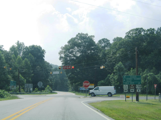
S.C. 11 travels west to Keowee-Toxaway State Park and the town of Salem and east to Table Rock State Park as part of a 120 mile long route southwest to Walhalla and Lake Hartwell and east to Gaffney.
07/23/04
07/23/04

U.S. 178 (Moorefield Memorial Highway) parallels the Oolenoy River northwest from S.C. 11 around Little Rock Mountain1.
07/23/04
07/23/04
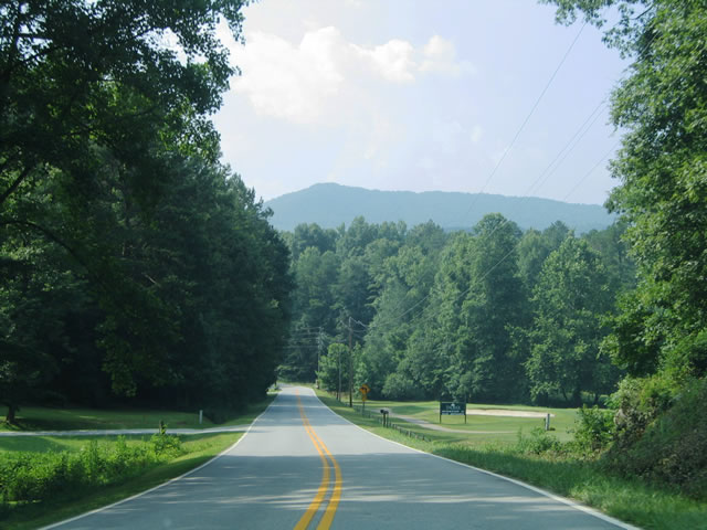
The Rock Golf Course & Resort lies just north of S.C. 11 and east of U.S. 178.
07/23/04
07/23/04
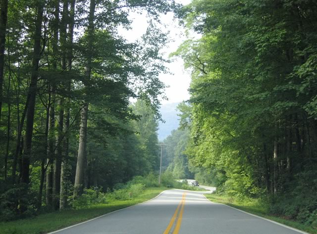
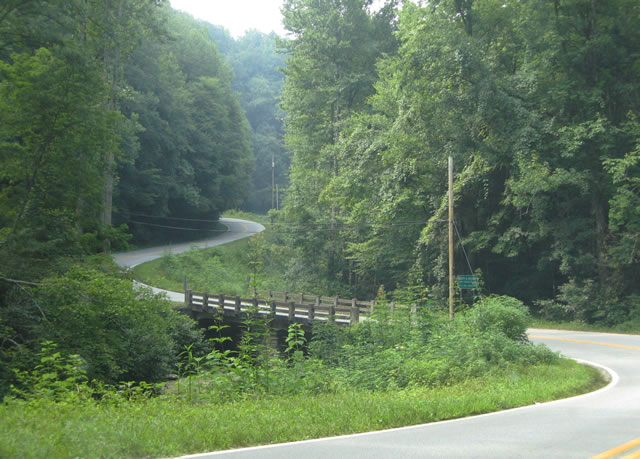
Navigating through a series of S-curves and switch backs, U.S. 178 climbs northward toward Beasley Gap between Rich and Horse Mountains.
07/23/04
07/23/04
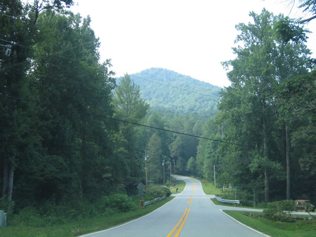
F. Van Clayton Memorial Highway (Road 199) ties into U.S. 178 at the settlement of Rocky Bottom.
07/23/04
07/23/04
U.S. 178 crosses Eastatoe Creek between Narrow Ridge and Chimneytop.
07/23/04
07/23/04
Photo Credits:
- Alex Nitzman: 08/05/00, 07/23/04, 05/26/07
Page Updated Thursday September 16, 2021.