
U.S. 220 South - Roanoke to Franklin County

 South
South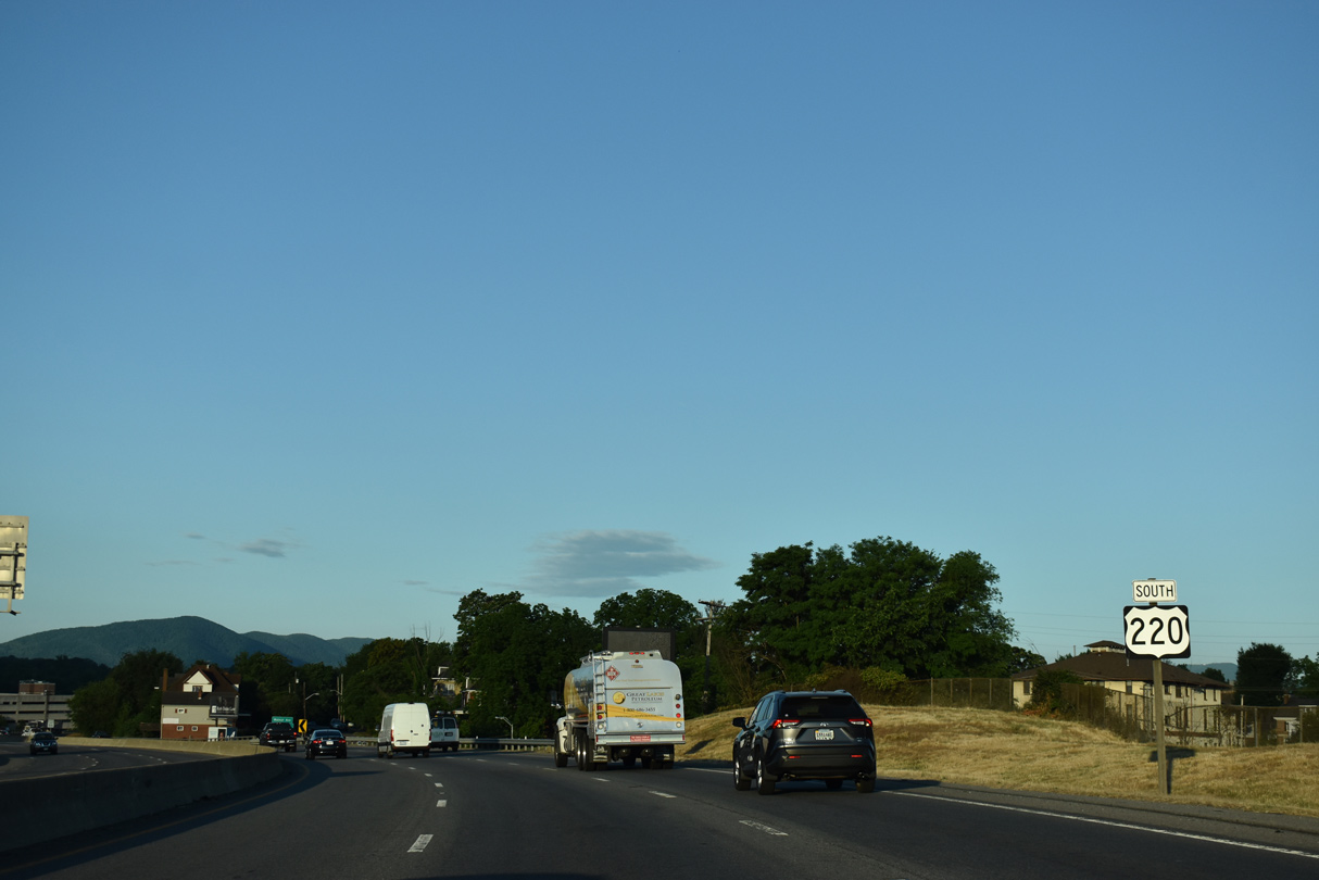
Continuing south from Interstate 581, U.S. 220 navigates through an S-curve above Williamson Road and SR 116 (Jefferson Street / Walnut Avenue).
05/27/21
05/27/21
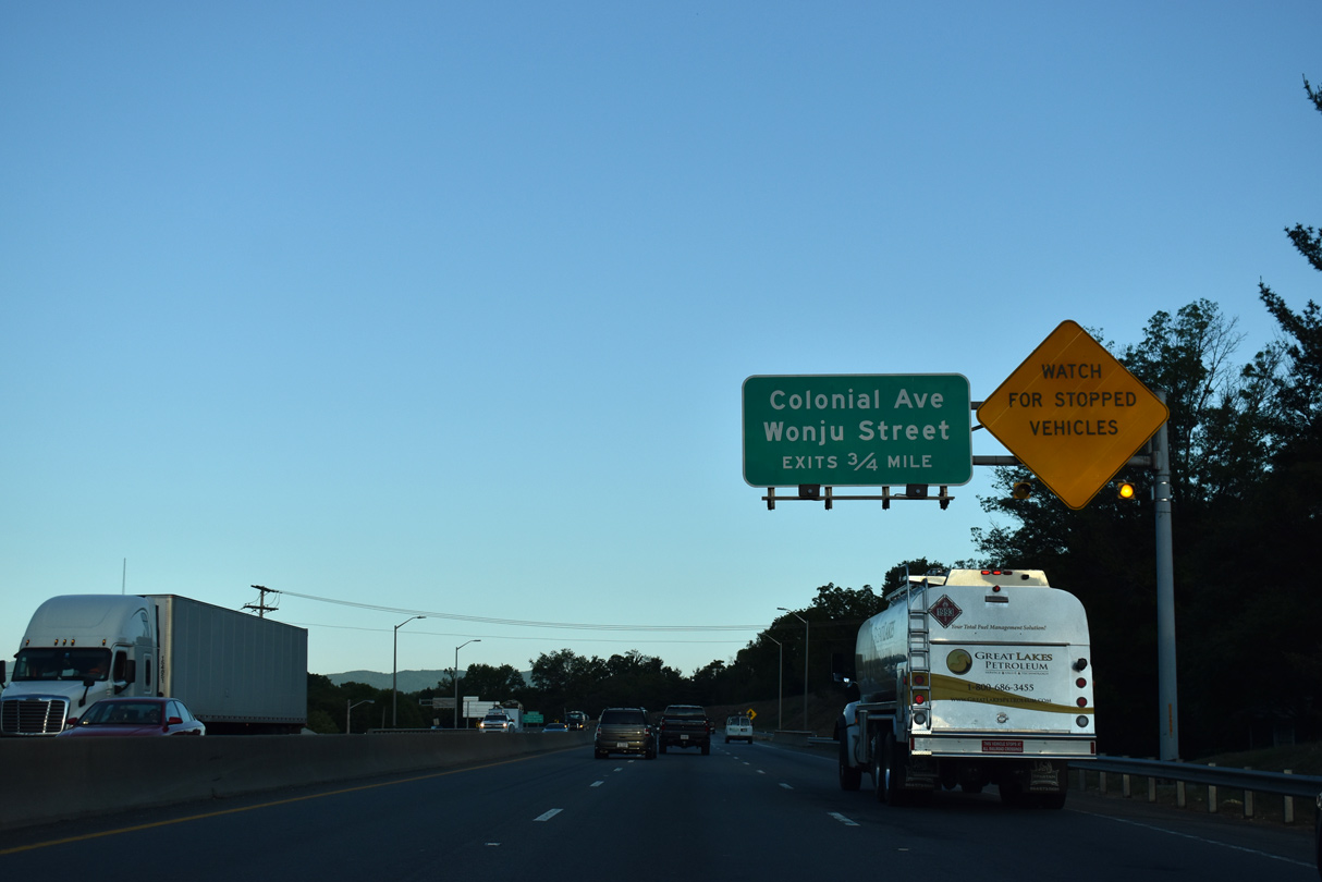
U.S. 220 curves west alongside Norfolk Southern Railroad tracks ahead of the Roanoke River and the exits for Colonial Avenue and Wonju Street at Colonial Heights.
05/27/21
05/27/21
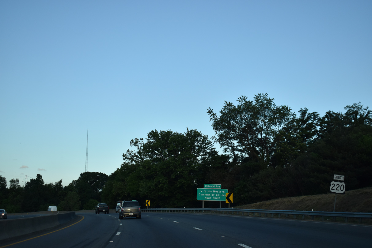
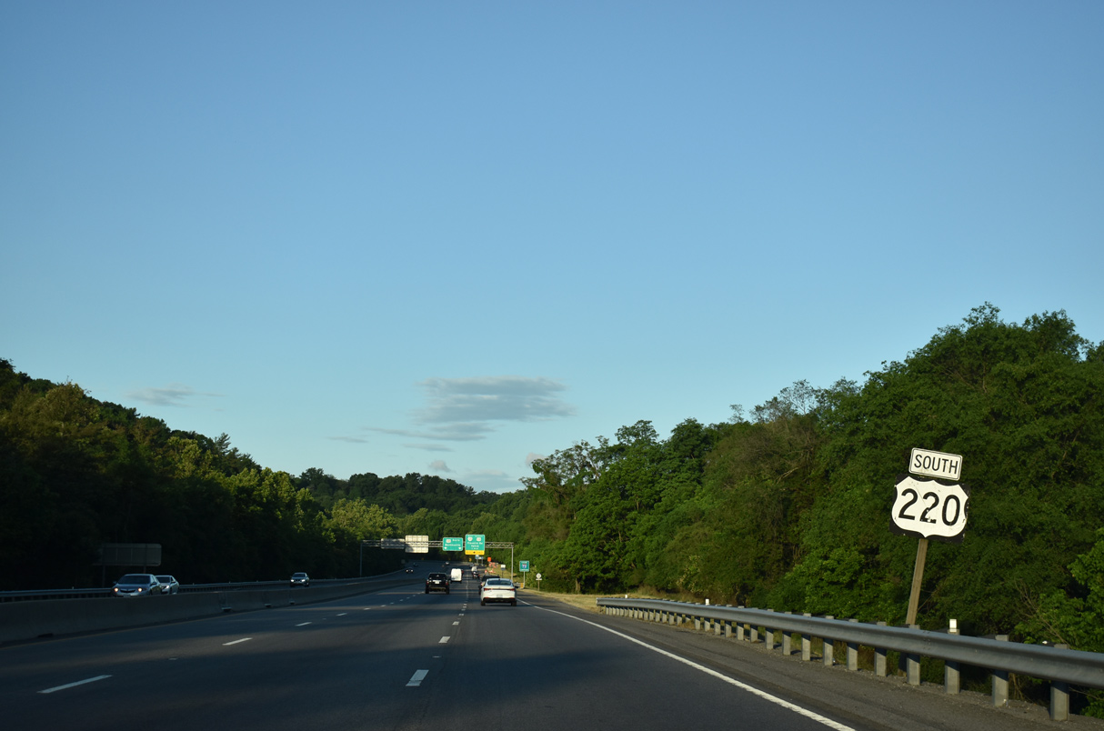
This confirming marker stands by the Old Southwest neighborhood beyond the wye interchange joining U.S. 220 Business (Franklin Road) with U.S. 220 southbound.
05/27/21
05/27/21
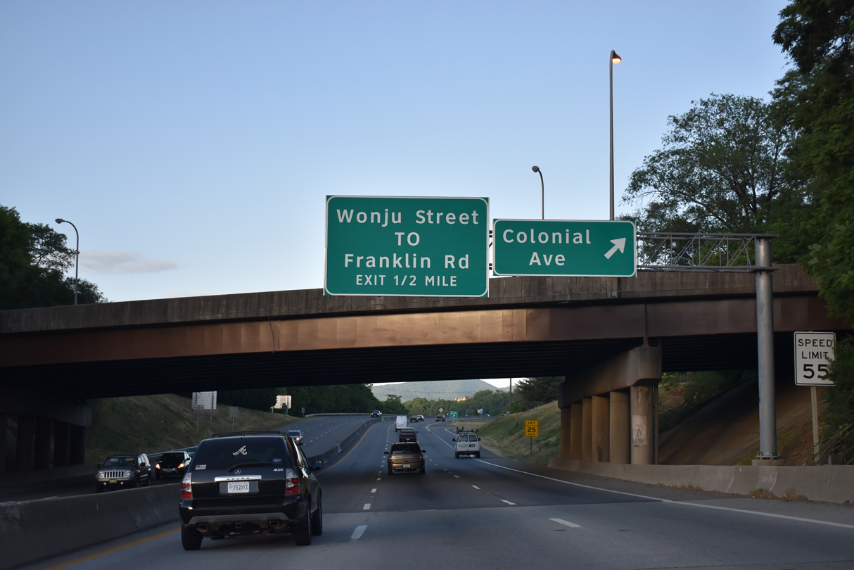
Brandon Avenue passes over U.S. 220 south ahead of the off-ramp onto adjacent Colonial Avenue. Colonial Avenue (SR 720) stems west from Brandon Avenue to Virginia Western Community College and SR 419 (Electric Road) at Cave Spring.
05/27/21
05/27/21
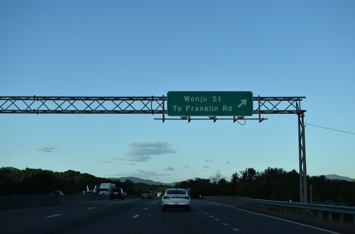
A loop ramp joins Wonju Street, a 0.30 mile long arterial south from Colonial Avenue to U.S. 220 Business (Franklin Road) and Broadway Avenue at the Crystal Spring neighborhood in Roanoke.
05/27/21
05/27/21
08/06/13
05/27/21
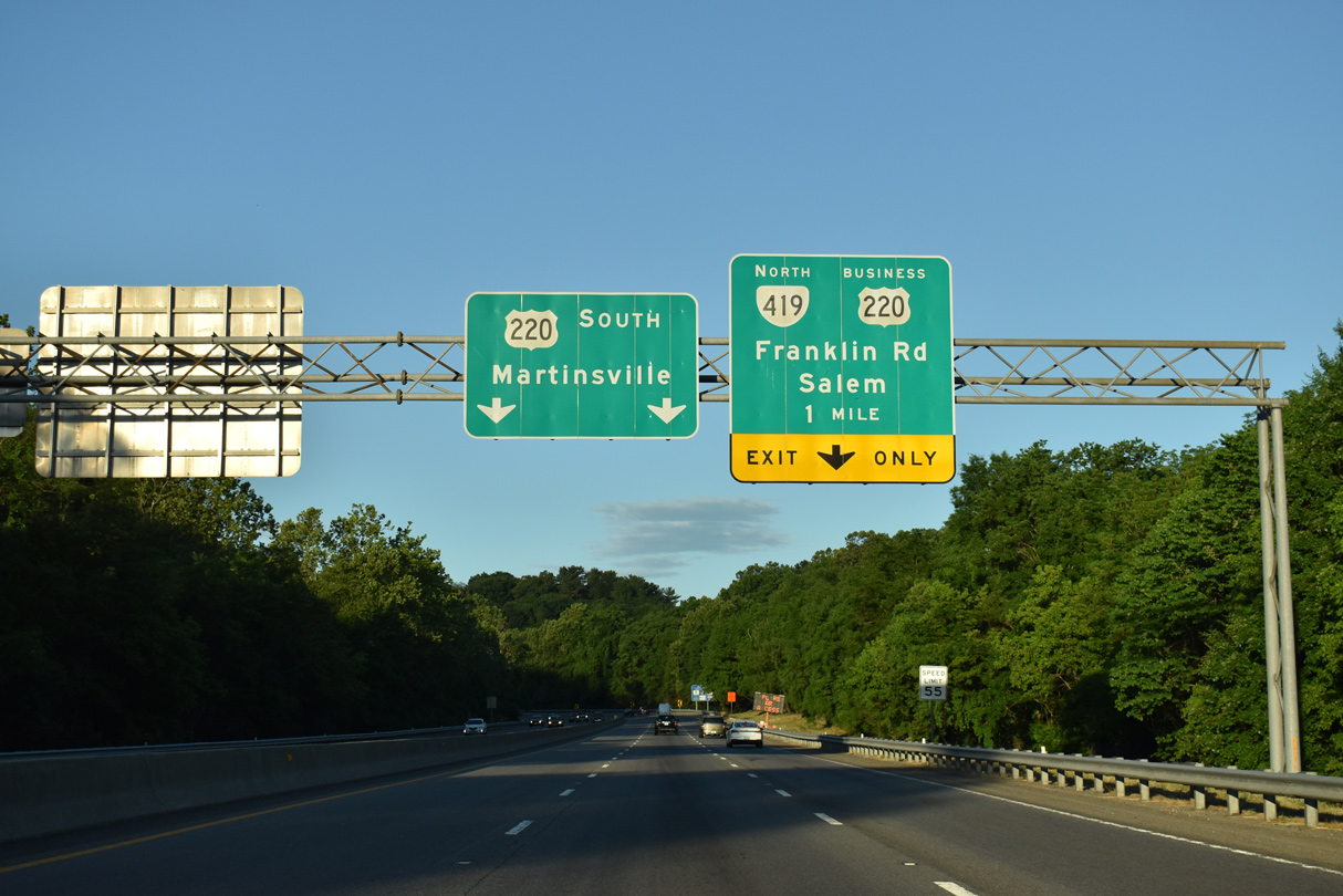
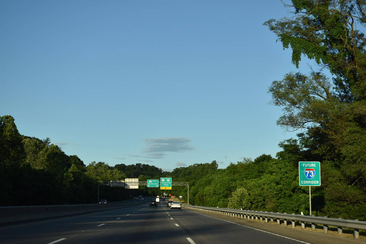
U.S. 220 Business (Franklin Road) returns to U.S. 220 at the south end of the freeway from Roanoke.
05/27/21
05/27/21
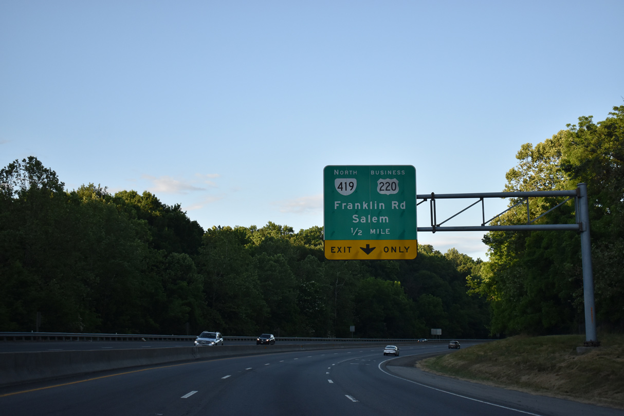
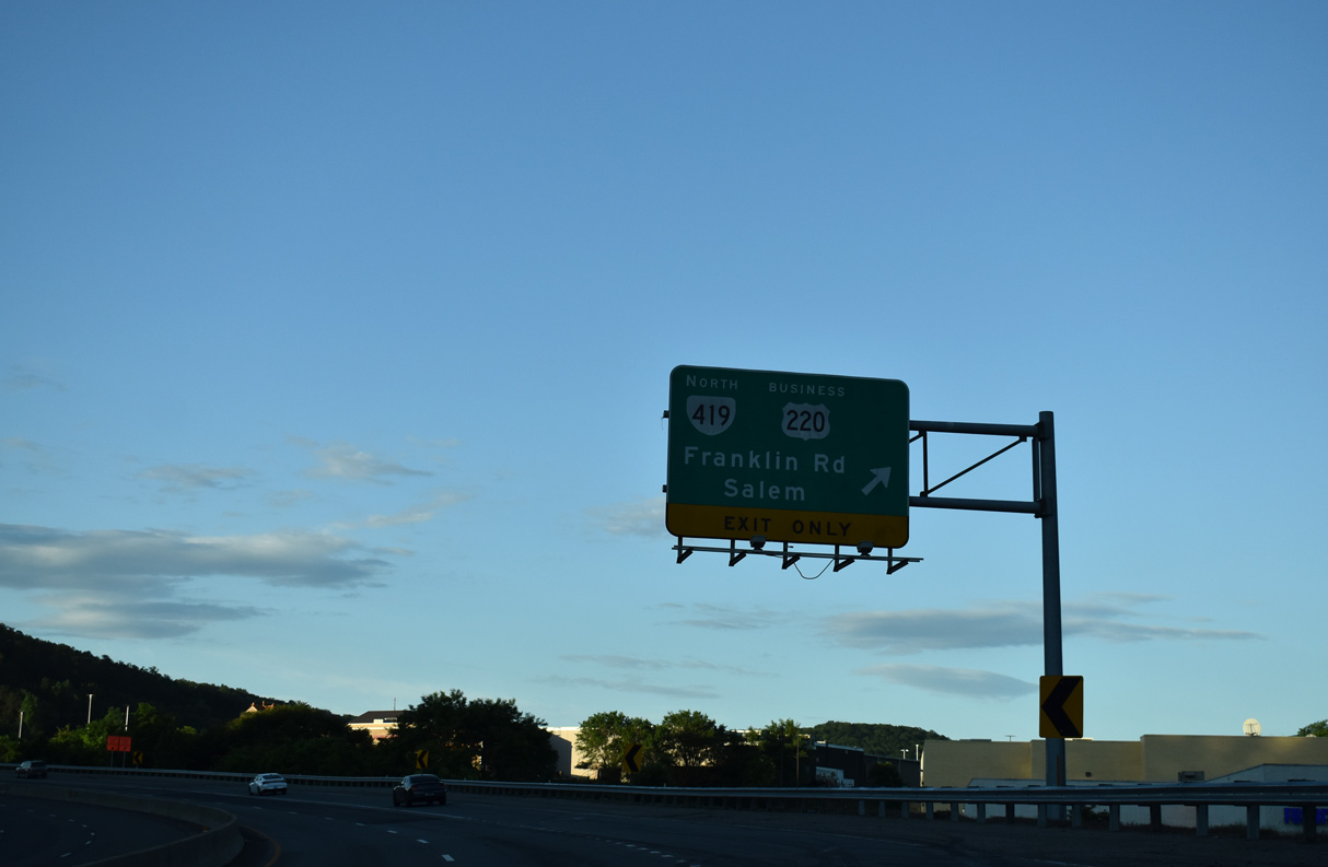
SR 419 (Electric Road) is a belt route encircling Roanoke north from Cave Spring and east of Salem. 10.19 miles in length, SR 419 runs from U.S. 220 to I-81.
05/27/21
05/27/21
05/27/21
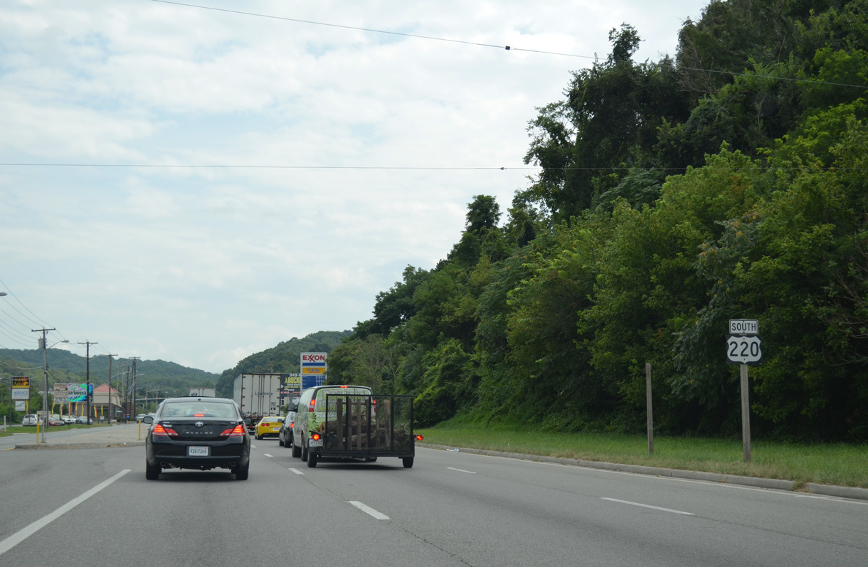
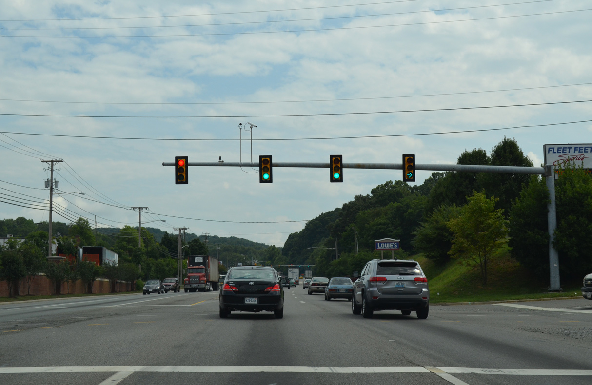
U.S. 220 overtakes Franklin Road along the arterial route south from U.S. 220 Business through Southern Hills.
08/06/13
08/06/13
08/06/13
08/06/13
08/06/13
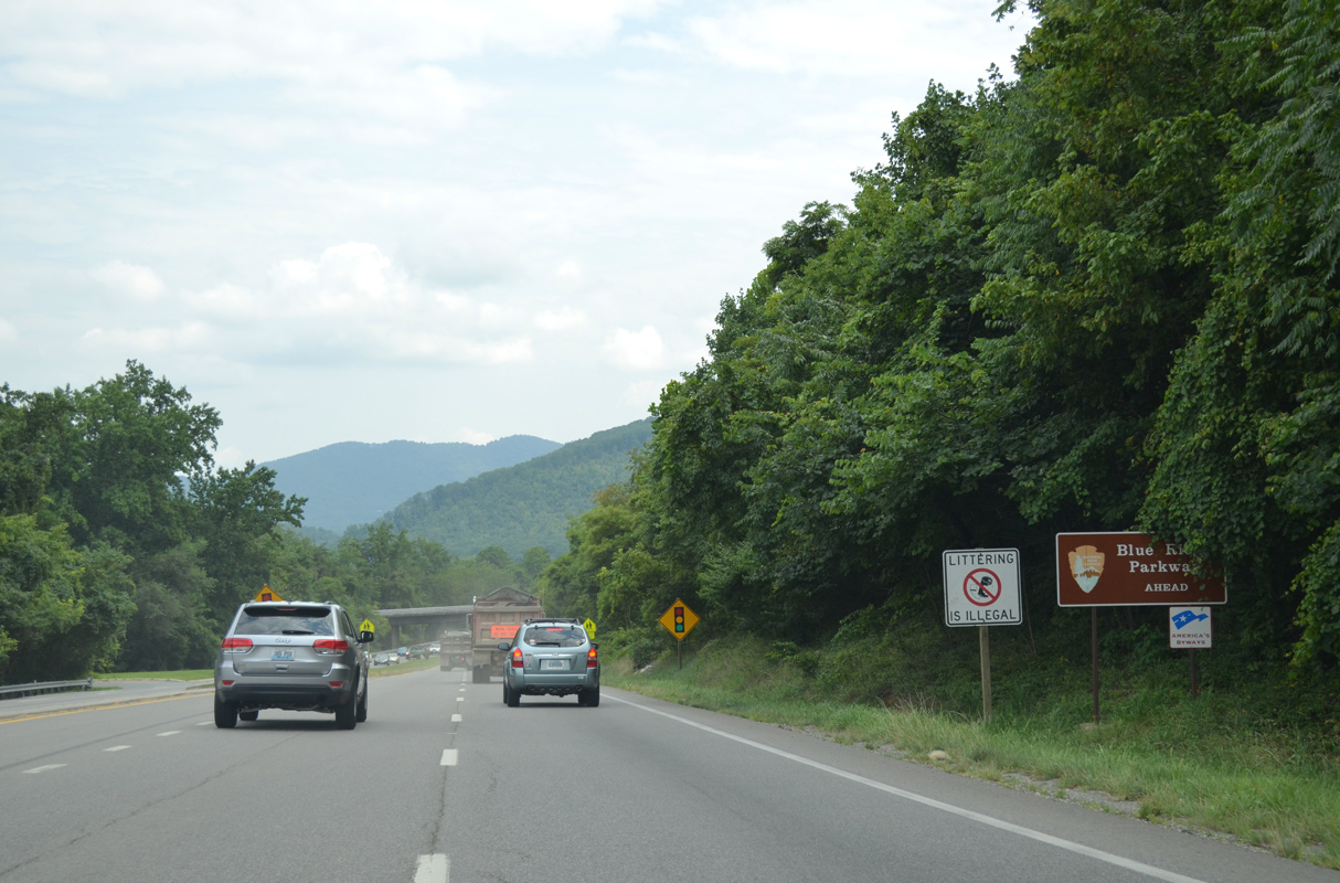
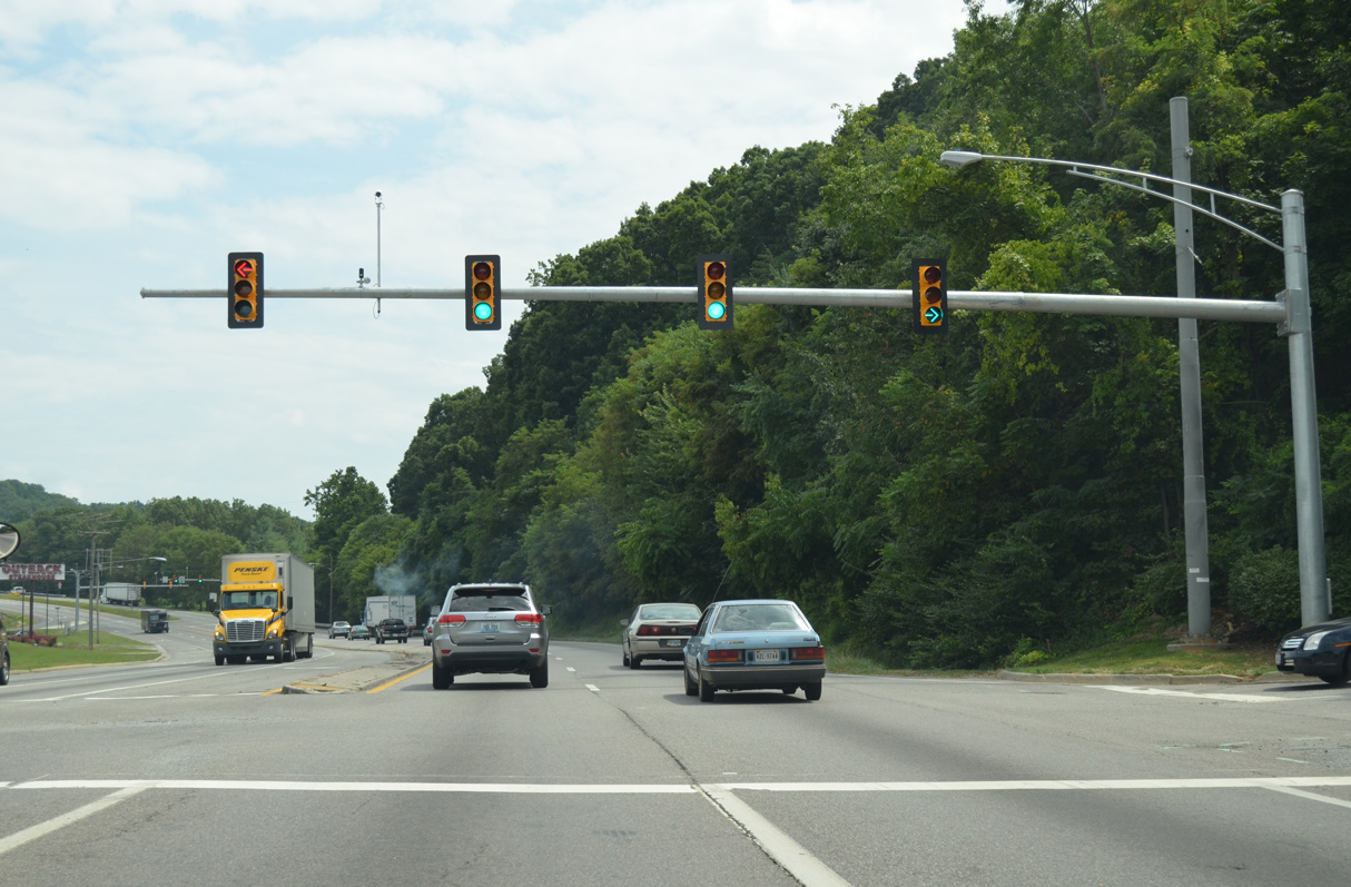
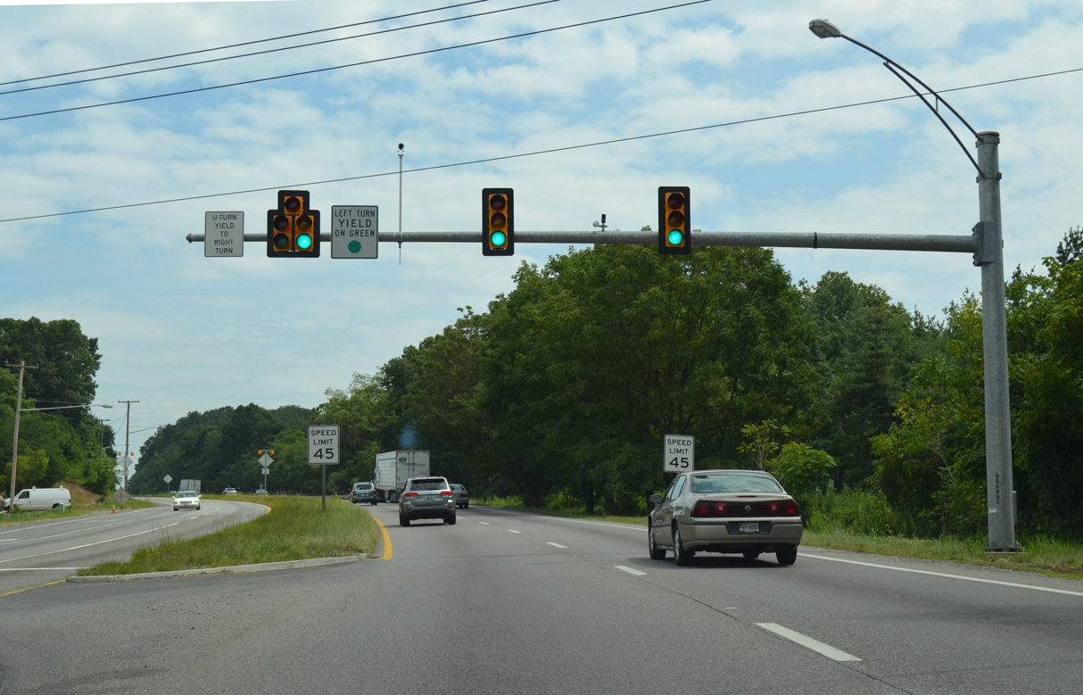
U.S. 220 (Franklin Road) meets Blue Ridge Parkway at a parclo B2 interchange just beyond the Roanoke city line.
08/06/13
08/06/13
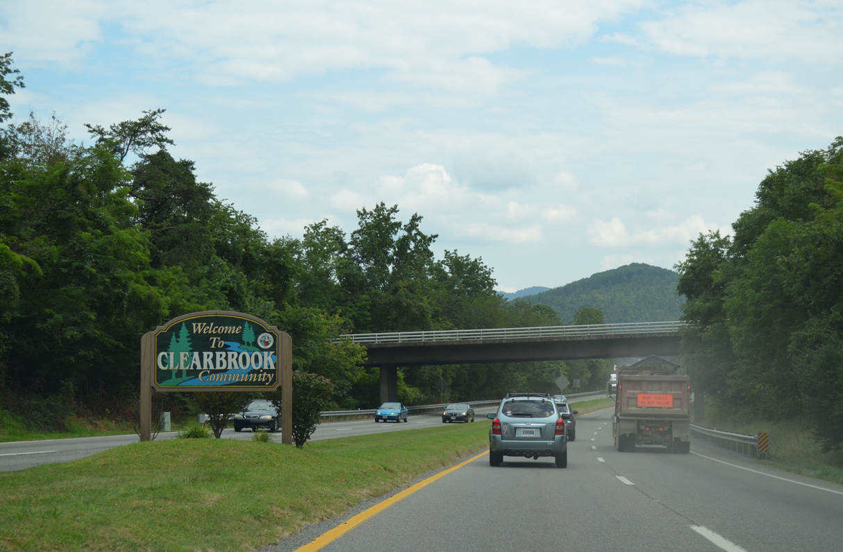
Blue Ridge Parkway straddles the northern slopes of Buck Mountain west of the Clearbrook community along U.S. 220 while encircling Roanoke Mountain to the east.
08/06/13
08/06/13
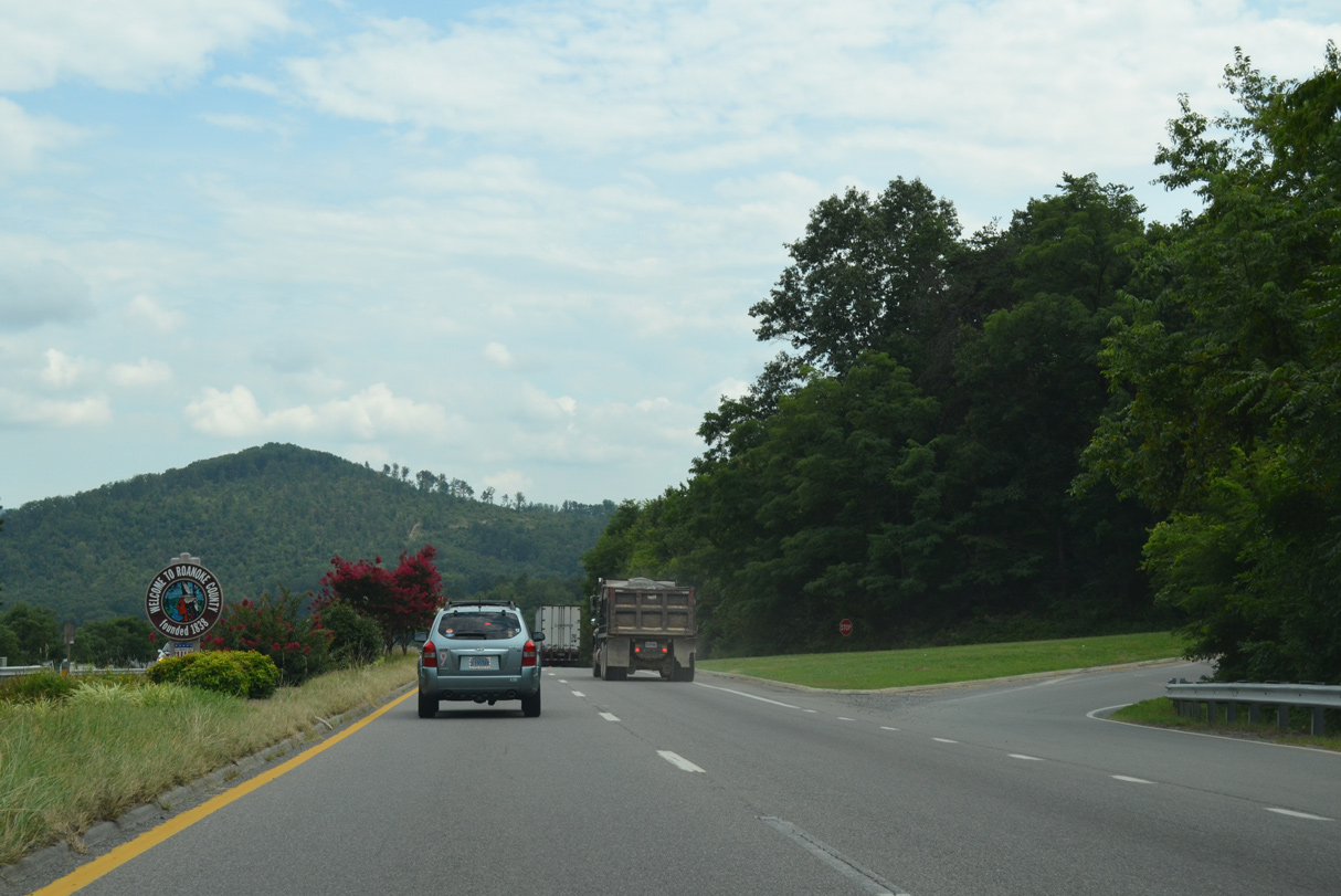
08/06/13
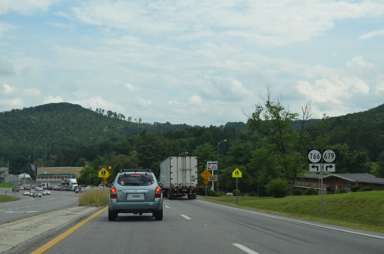
SR 679 lines Buck Mountain Road west from U.S. 220 at SR 766 (Stable Road), 1.18 miles to SR 904 (Starkey Road) near Starkey.
08/06/13
08/06/13
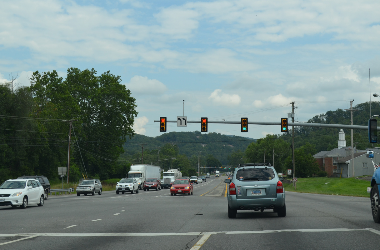
08/06/13
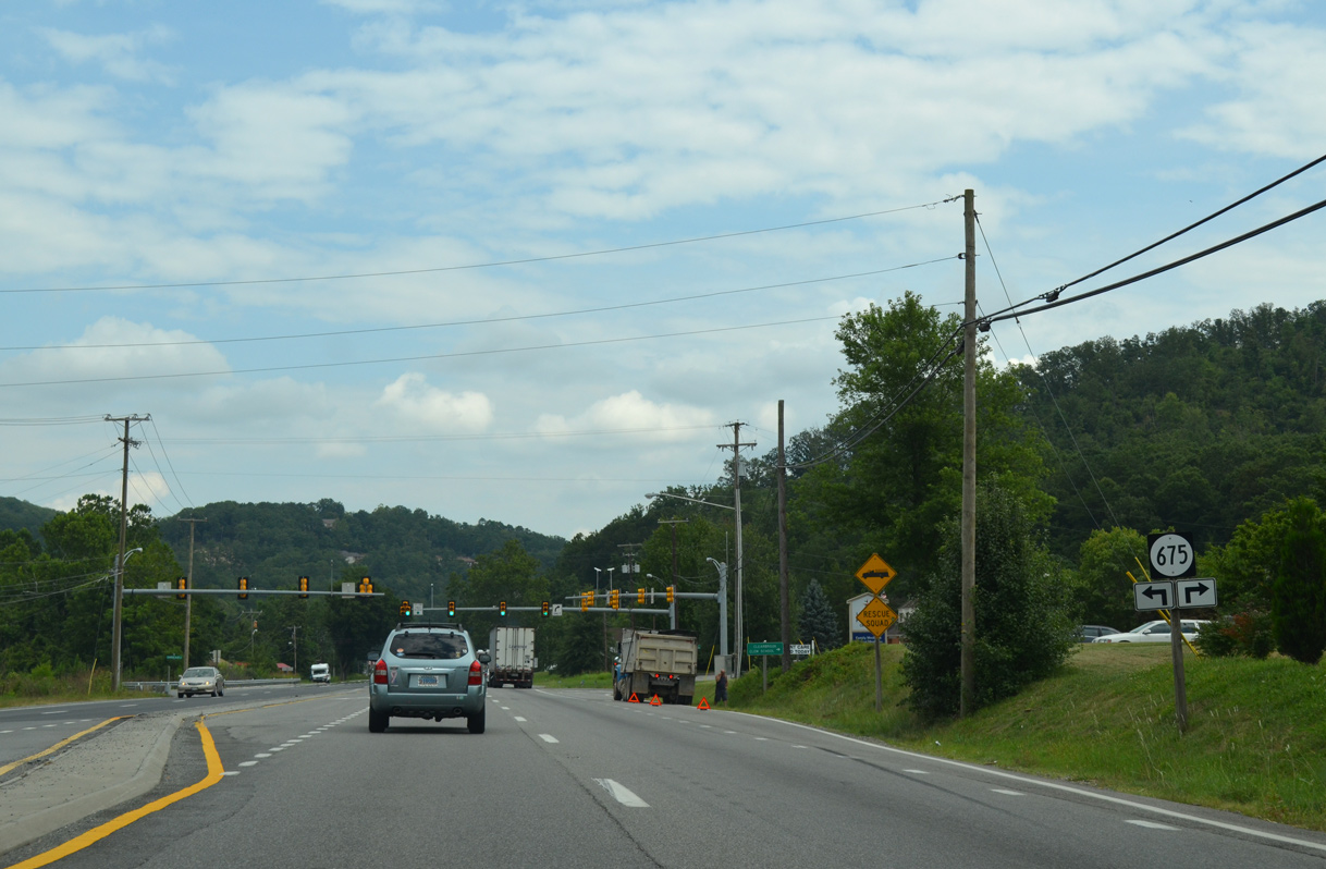
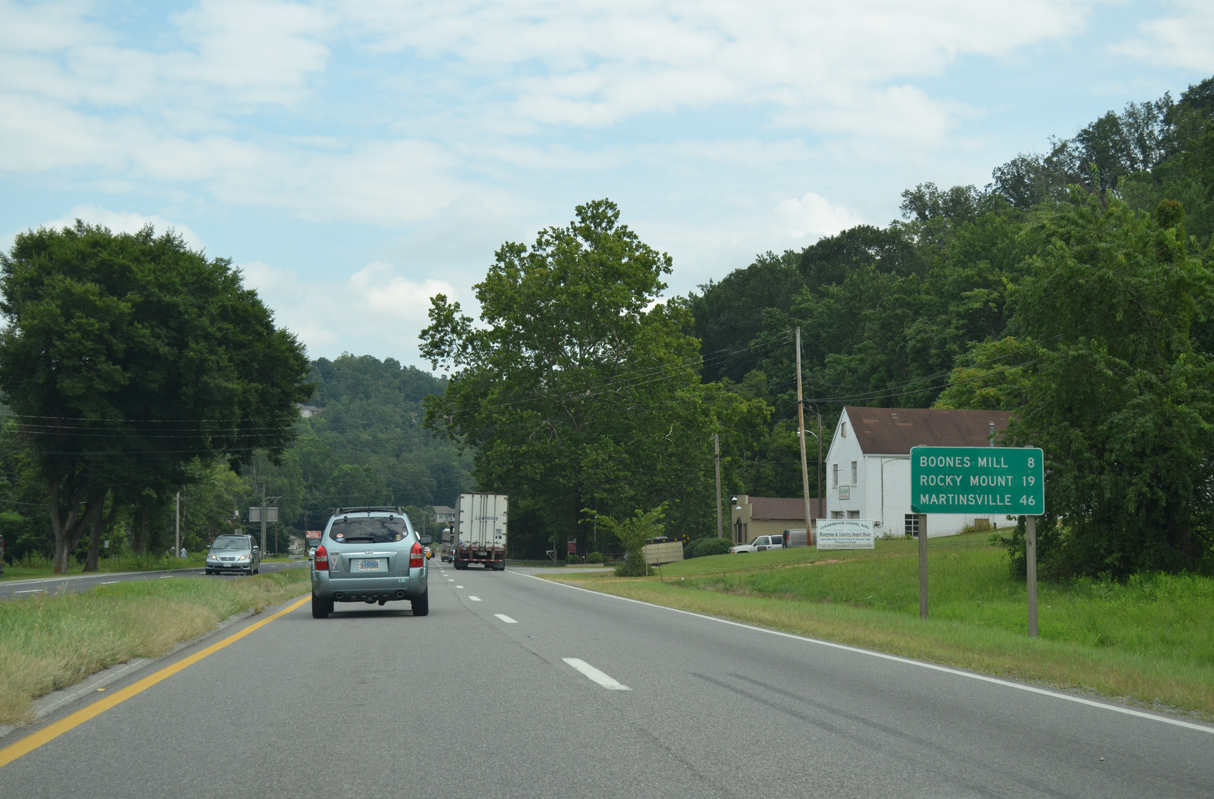
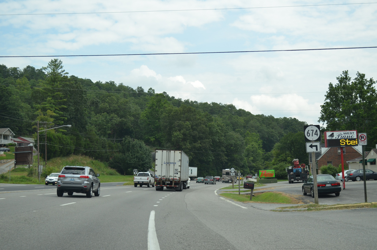
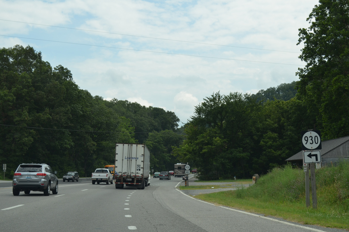
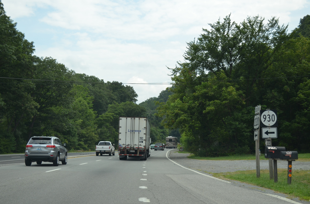
SR 675 (Indian Grave Road SW) weaves between Buck Mountain and Haystack Mountain south of U.S. 220.
08/06/13
08/06/13
08/06/13
08/06/13
08/06/13
08/06/13
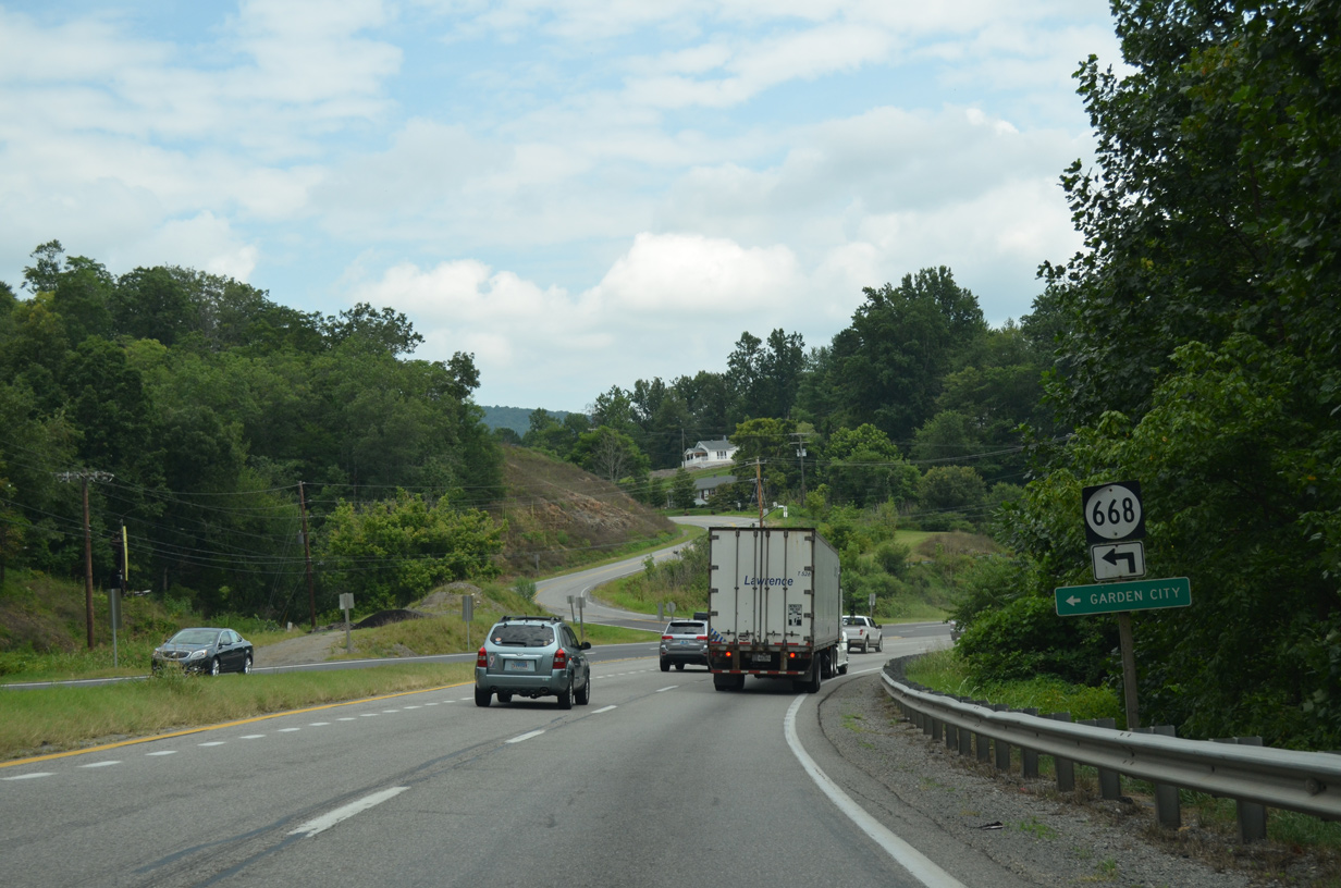
SR 668 (Yellow Mountain Road) wraps around Roanoke Mountain 3.00 miles northeast to the Roanoke city line at Garden City.
08/06/13
08/06/13

SR 676 (Back Creek Road) meanders southwest from U.S. 220 to Wright.
08/06/13
08/06/13
08/06/13
08/06/13
08/06/13
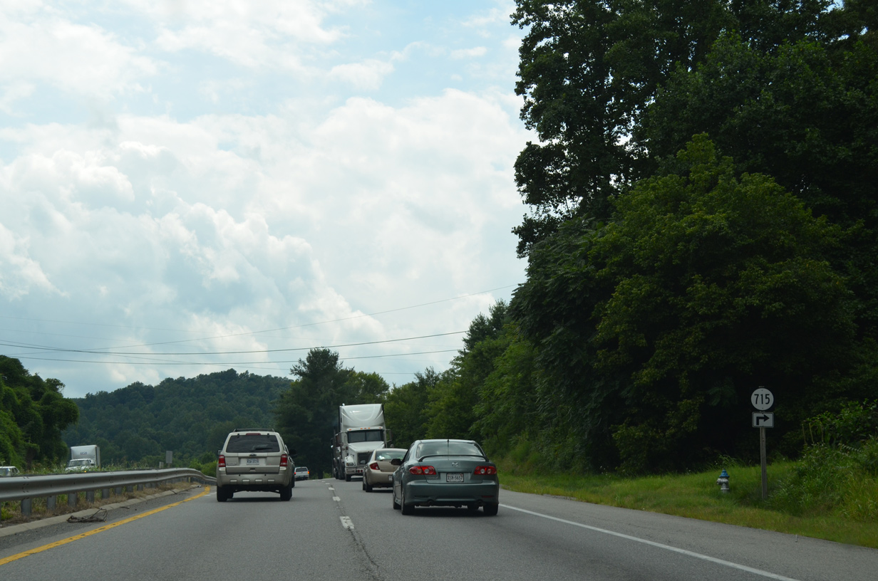
08/06/13
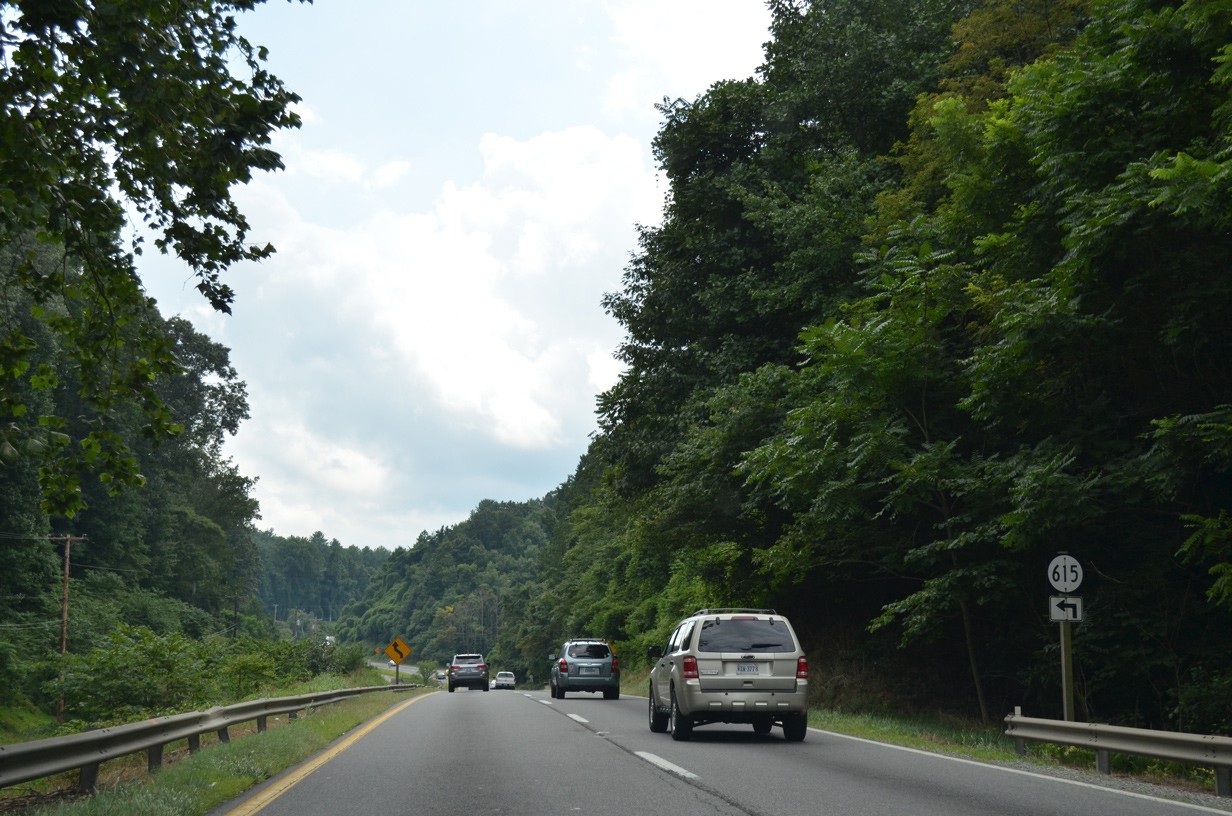
08/06/13
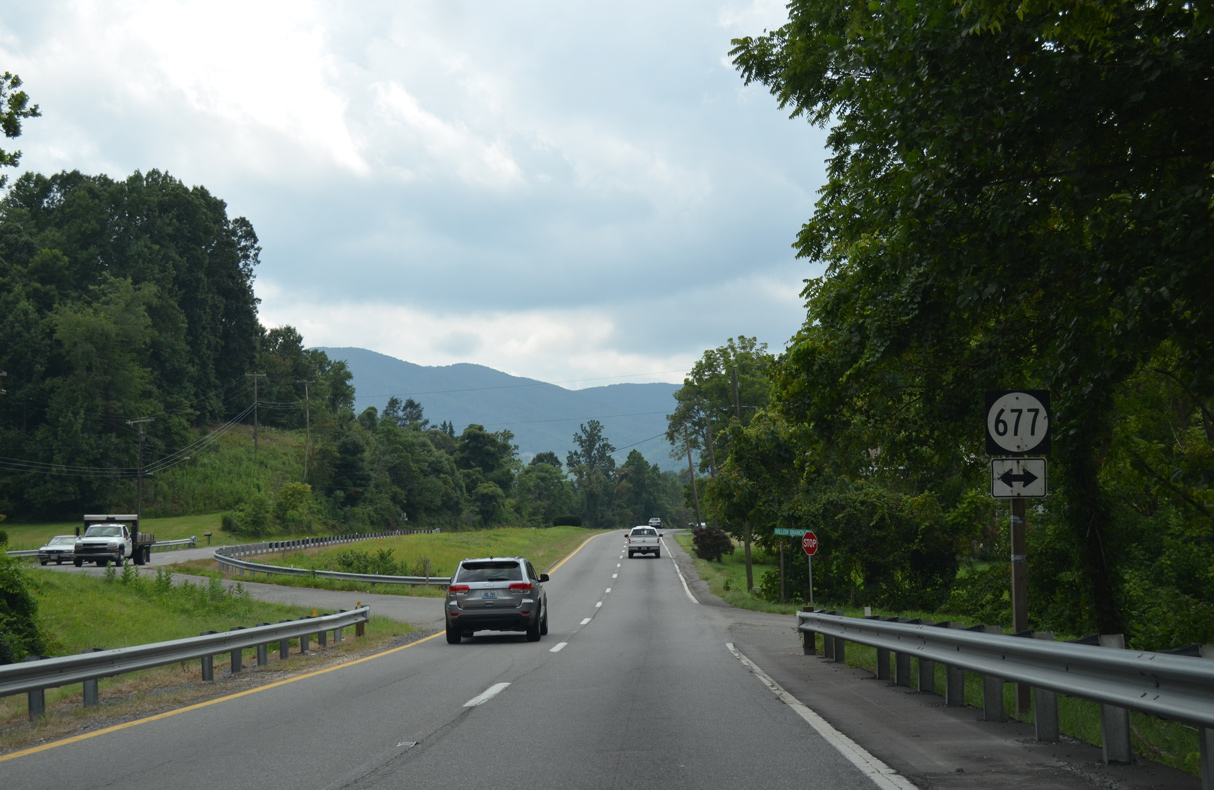
SR 677 (Willow Branch Road) heads north to SR 614 (Boones Chapel Road) near Wright.
08/06/13
08/06/13
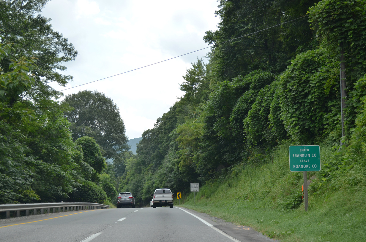
Passing through the Blue Ridge Mountains at Murray Gap, U.S. 220 south enters Franklin County.
08/06/13
08/06/13
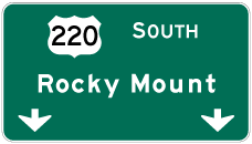

Photo Credits:
- Brent Ivy: 05/27/21
- AARoads: 08/06/13
Page Updated Monday August 09, 2021.