
U.S. 221 South - Alleghany / Ashe Counties


 South
South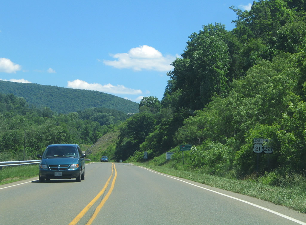
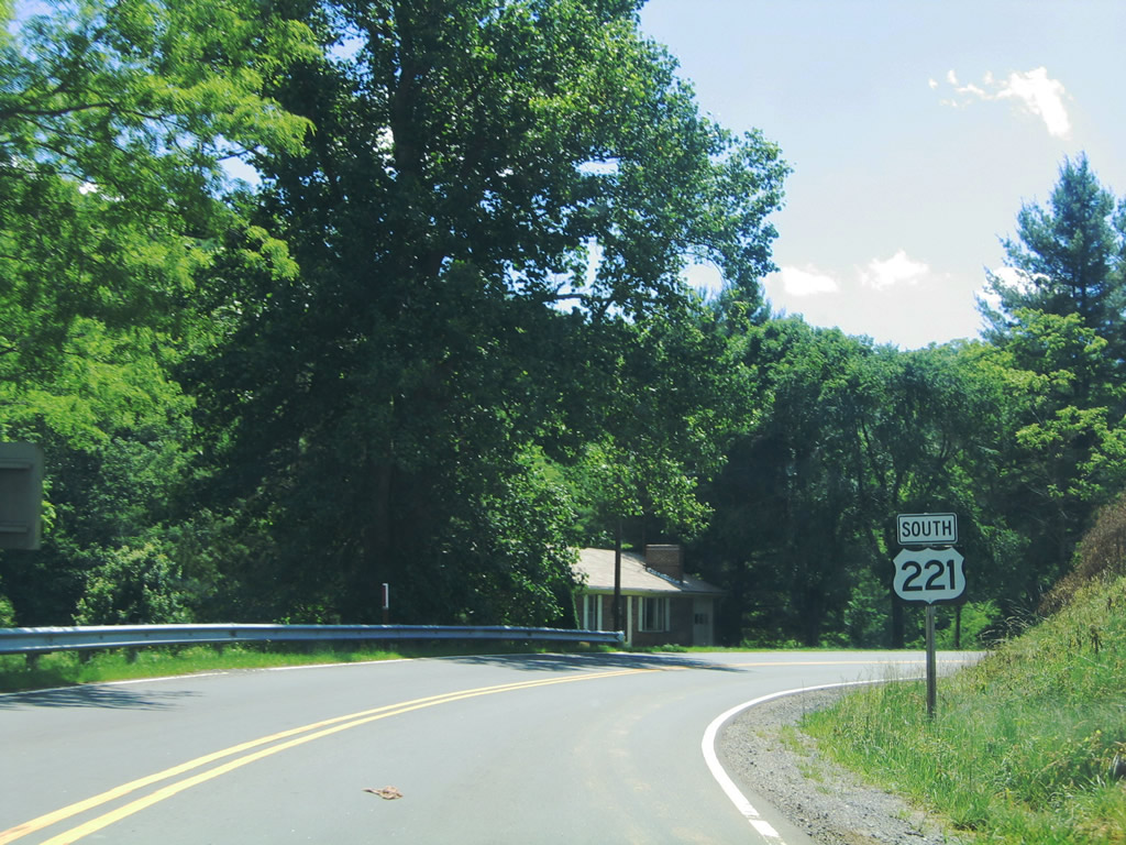
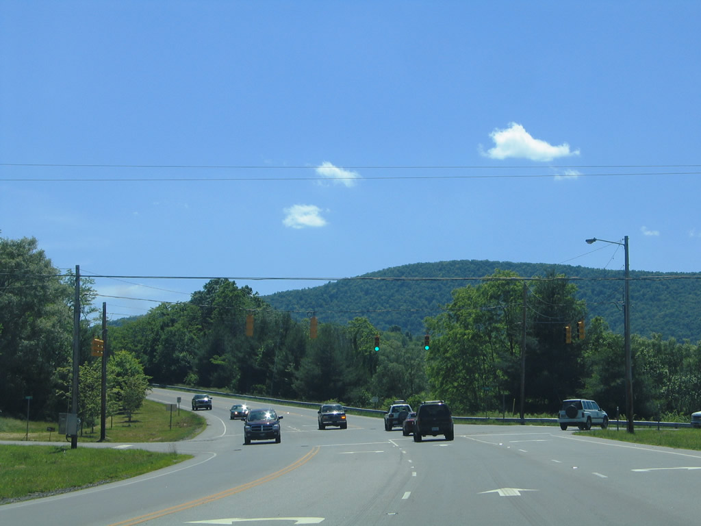
U.S. 21/221 enter Allegheny County, North Carolina from Independence, Virginia along a 7.1 mile overlap.
06/17/05
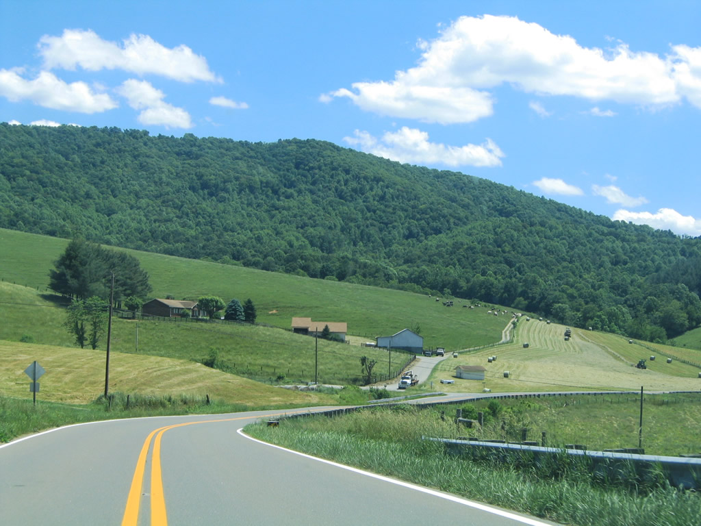
U.S. 21/221 wind south from the New River Valley toward New Haven.
06/17/05
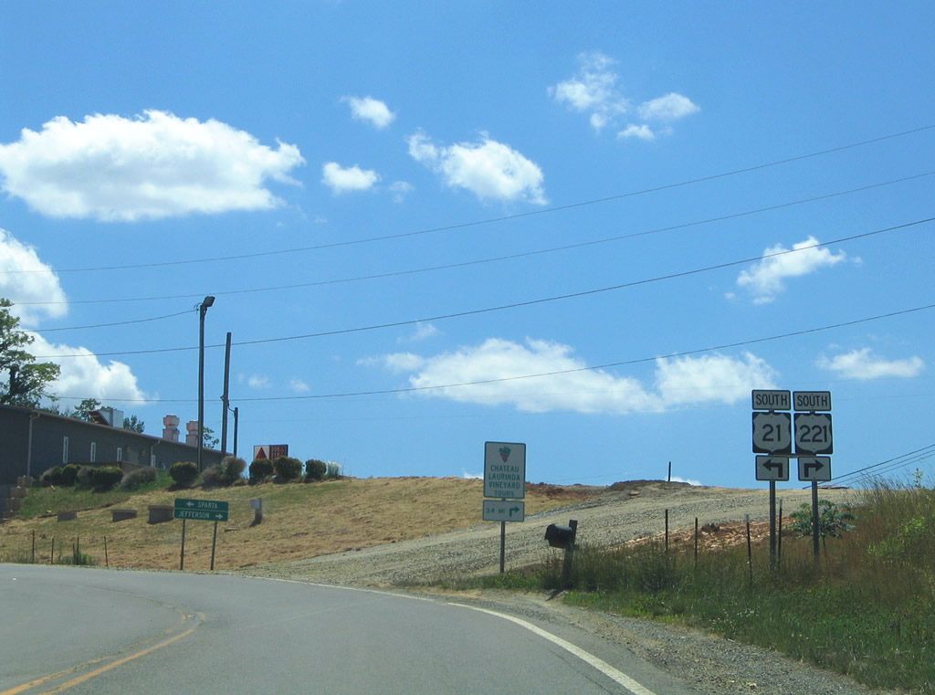
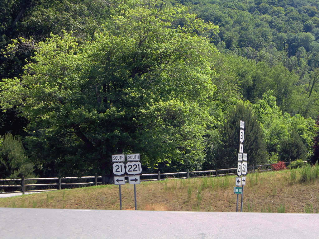
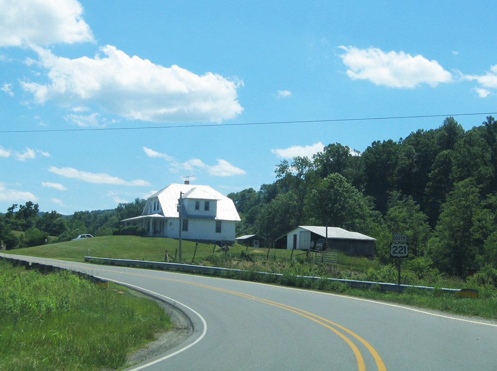
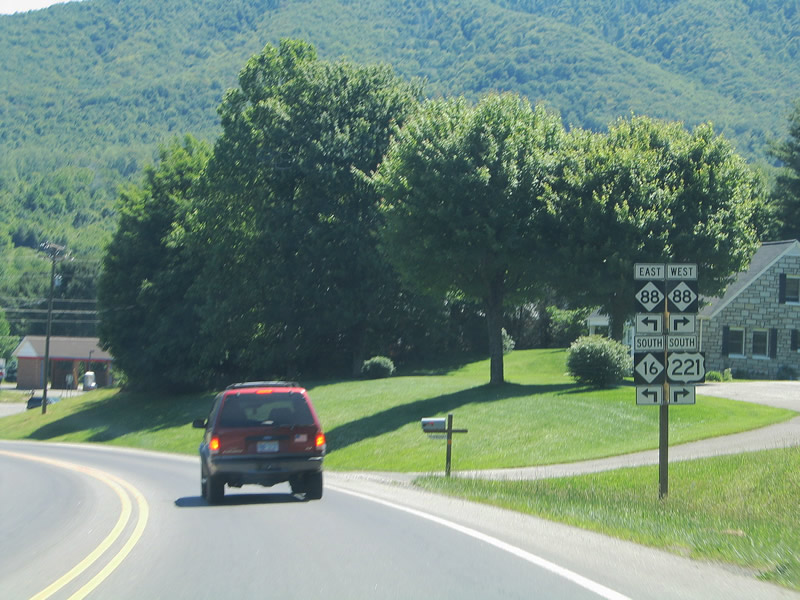
U.S. 21/221 part ways at the unincorporated community of Twin Oaks.
06/17/05
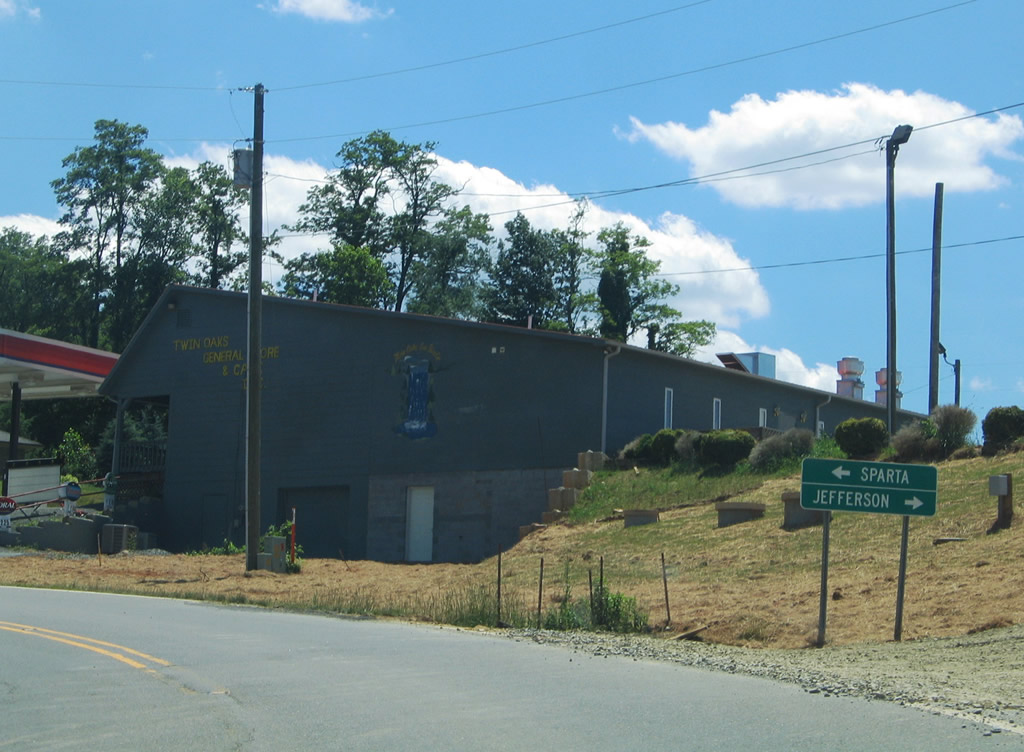
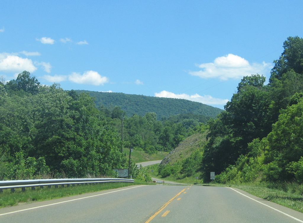
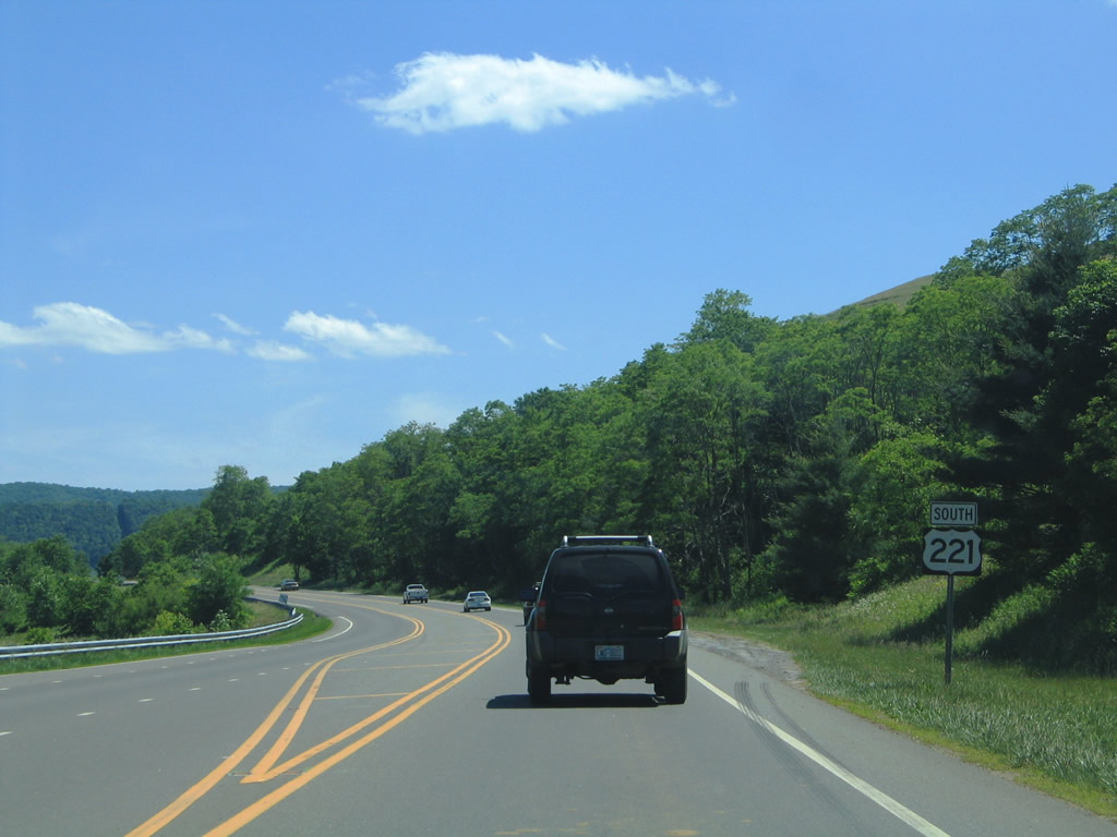
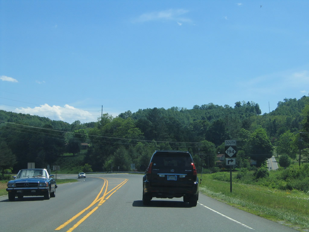
U.S. 21 turns southeast three miles to the Alleghany County seat of Sparta and 32 miles to the I-77 corridor at Elkin. U.S. 221 meanders westward 22 miles to the Ashe County seat of Jefferson.
06/17/05
U.S. 21 continues south from Elkin alongside or with Interstate 77 to Statesville and Charlotte. U.S. 221 navigates through the Appalachian Mountains southward to Boone, Blowing Rock and Linville.
06/17/05
South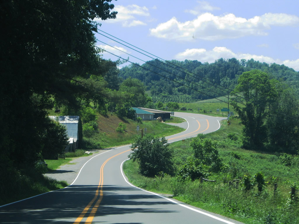
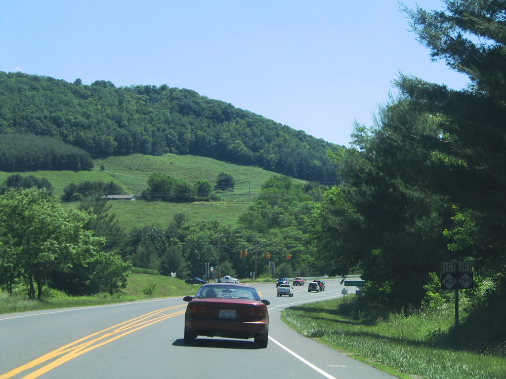
0.9 miles west of Twin Oaks, U.S. 221 meets the east end of NC 93. NC 93 travels northwest 7.7 miles to Piney Creek.
06/17/05
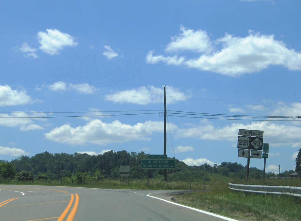
U.S. 221 south at the westbound beginning of NC 93. NC 93 totals 9.9 miles between here and Virginia 93 north of Piney Creek. Connections with U.S. 58 west from Virginia 93 north lead drivers to Mouth of Wilson and Jefferson National Forest.
06/17/05
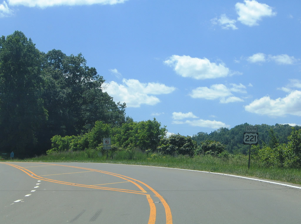
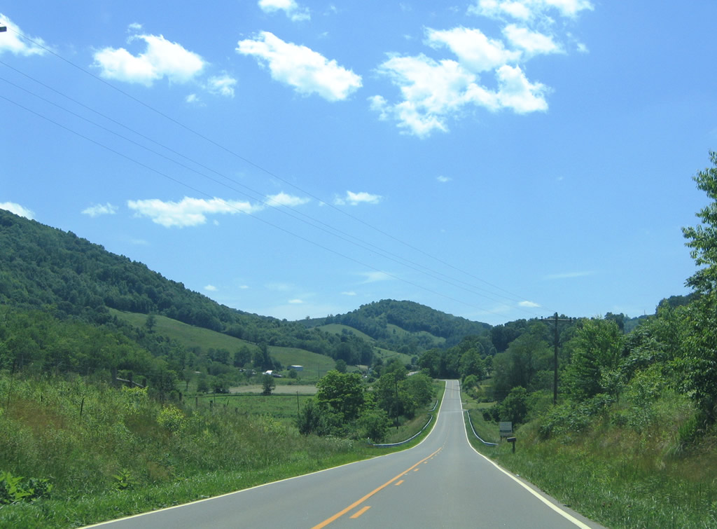
Continuing southwest along U.S. 221 toward the community of Stratford.
06/17/05
7.1 miles separate Stratford from NC 193 near Scottville. U.S. 221 follows Elk and Prathers Creeks for portions of the scenic drive.
06/17/05
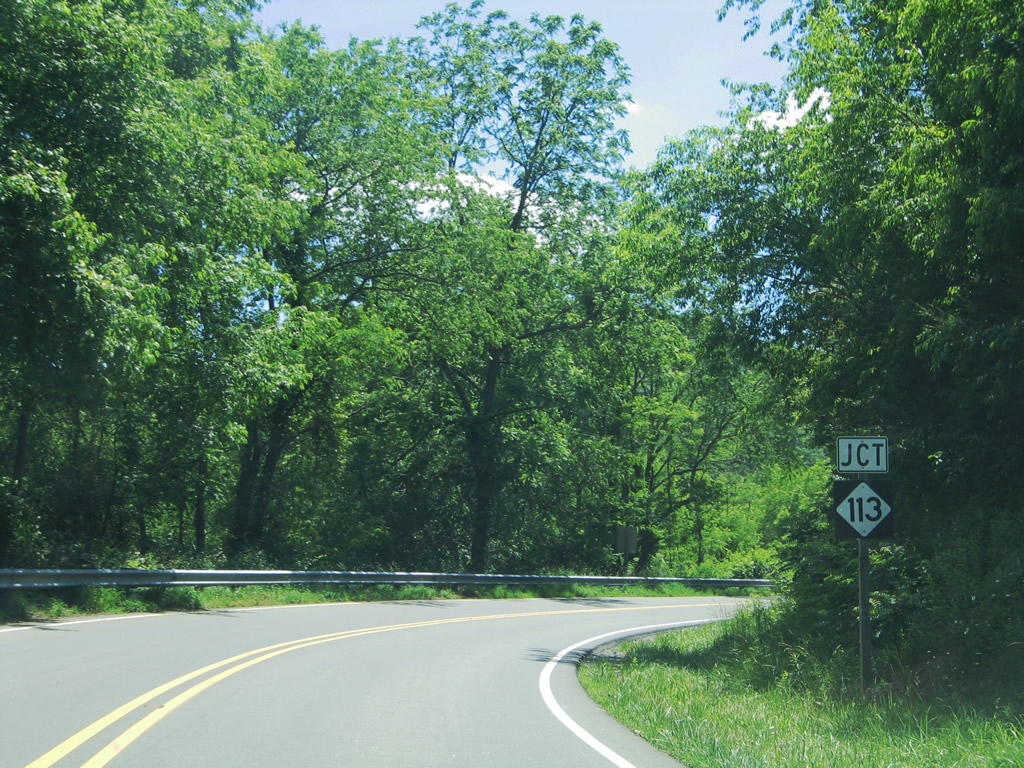
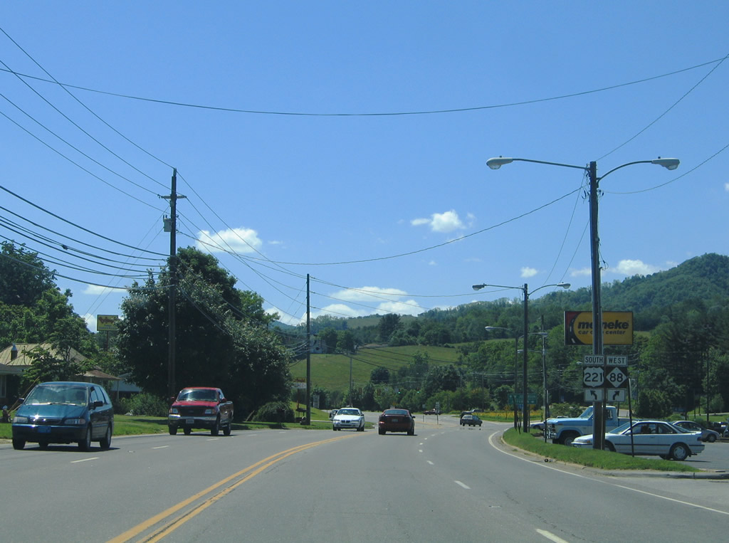
Nearing the intersection with NC 113 east of Scottville and Franks Knob along U.S. 221 south.
06/17/05
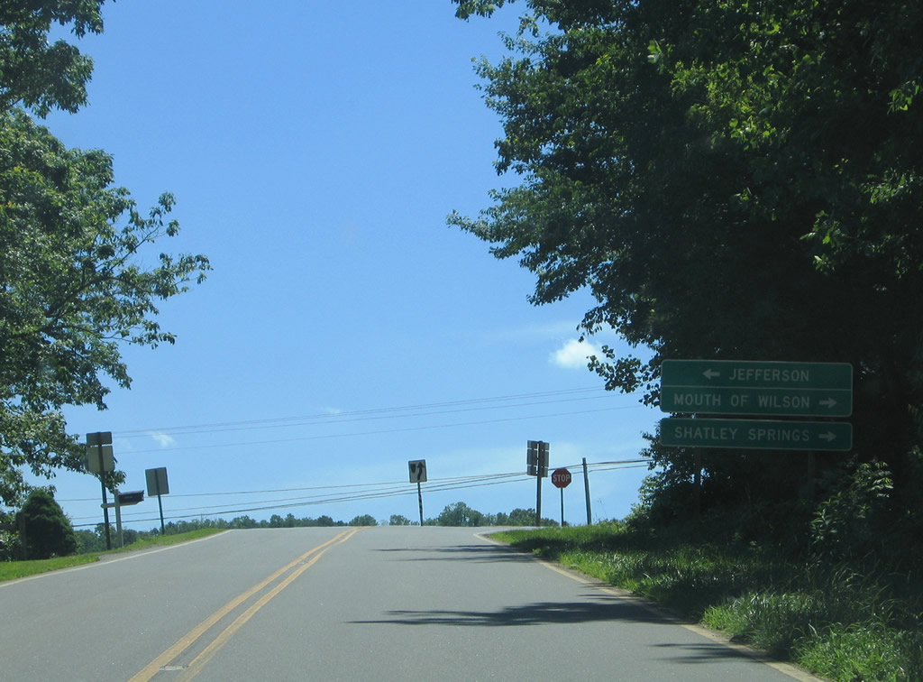
NC 113 joins U.S. 221 with North Wilkesboro via connections with NC 18 south and Mouth of Wilson via North Carolina and Virginia 93 north.
06/17/05
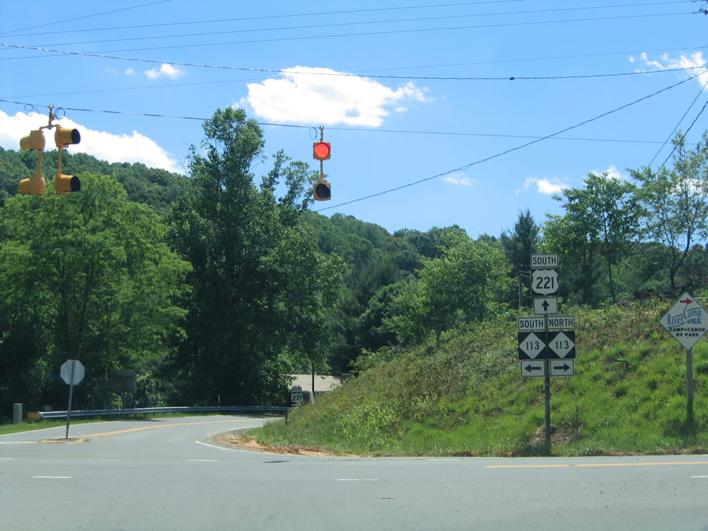
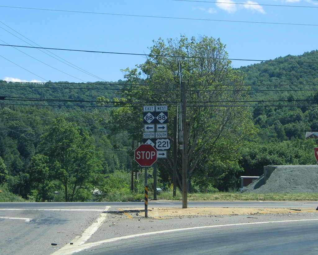
A set of flashers accompany the stop signs at the U.S. 221 and NC 113 cross roads. NC 113 crosses Peach Bottom Mountain on the 4.8 mile drive south to its end at NC 18 near Laurel Springs. The state highway overall totals 11.2 miles, ending at NC 93 in Piney Creek.
06/17/05
U.S. 221 continues to snake westward to Scottville and a crossing of the New River near Huckleberry Ridge. The route crosses into Ashe County 2.1 miles west of NC 113.
06/17/05
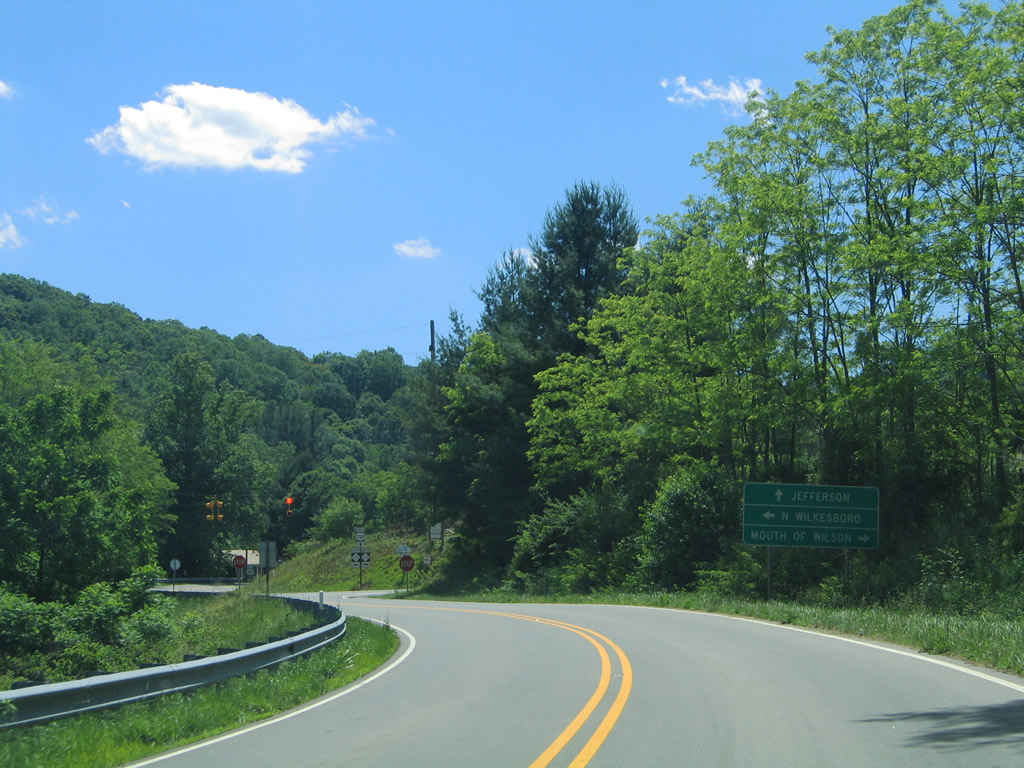
U.S. 221 and NC 16 come together on the outskirts of Jefferson. NC 16 joins the area with Shatley Springs and Mouth of Wilson, Virginia north of Little Phoenix Mountain.
06/17/05
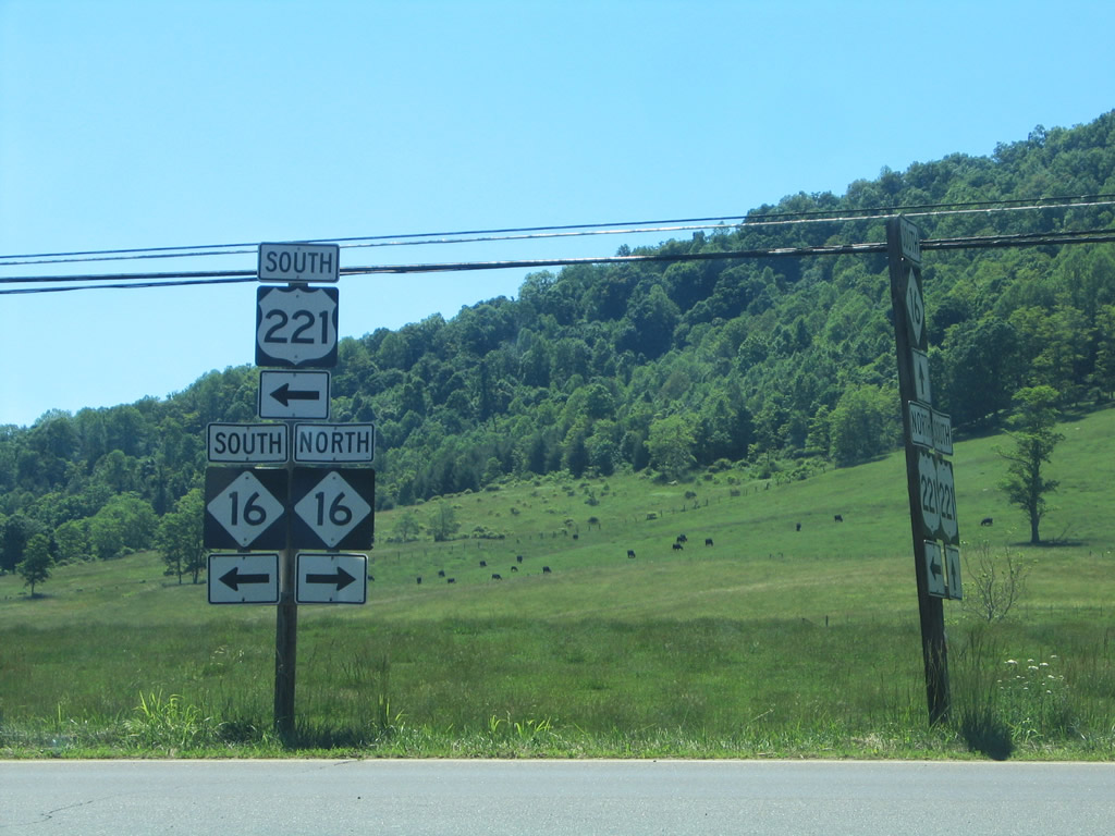
Southward, the two highways share a 1.3 mile drive to NC 88 on the east side of town. NC 16 follows a 150 mile plus, continuing a multi-state route from WV 16 and Virginia 16 to Waxhaw southeast of Charlotte. Portions of the route north of Charlotte are being realigned onto a new expressway.
06/17/05
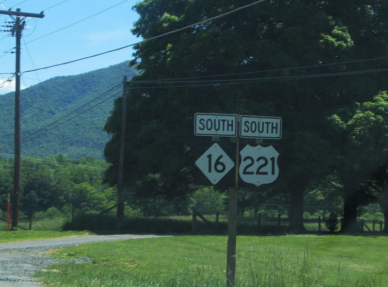
Reassurance markers for U.S. 221/NC 16 south, posted after their merge near Ashe County Airport.
06/17/05
Mount Jefferson rises along the southern horizon as U.S. 221/NC 16 lower to their split and respective merges with NC 88.
06/17/05
NC 16/88 combine for 3.2 miles between Jefferson and Index. NC 88 continues from there to Laurel Springs and its end at NC 88 while NC 16 resumes a southward course to Glendale Springs and U.S. 421 outside Wilkesboro.
06/17/05
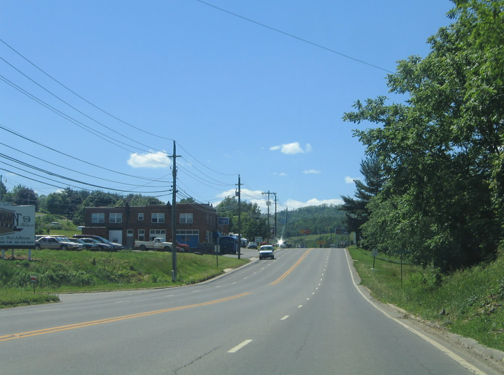
U.S. 221 south & NC 88 west widen to four overall lanes through eastern reaches of the Ashe County seat.
06/17/05
Crossing the Jefferson City limits along U.S. 221 south / NC 88 west. The town of 1,422 was named after Thomas Jefferson.1
06/17/05
NC 88 splits with U.S. 221 south after 0.9 miles for Main Street and downtown Jefferson. The state highway continues west from Jefferson 27 miles to Tennessee 67.
06/17/05
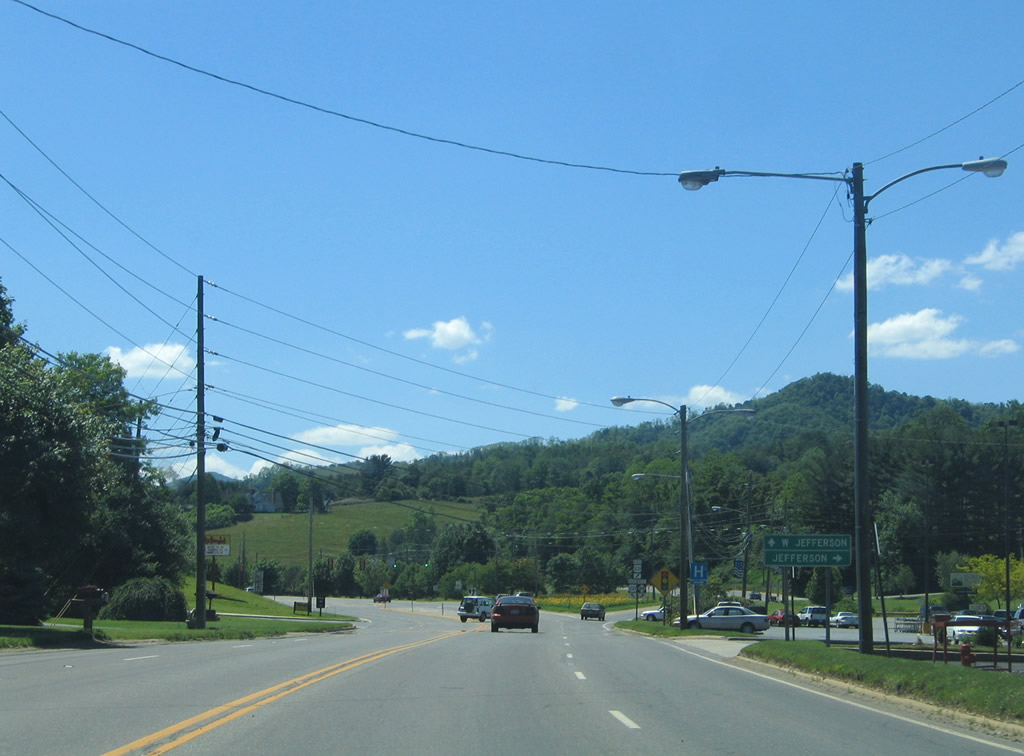
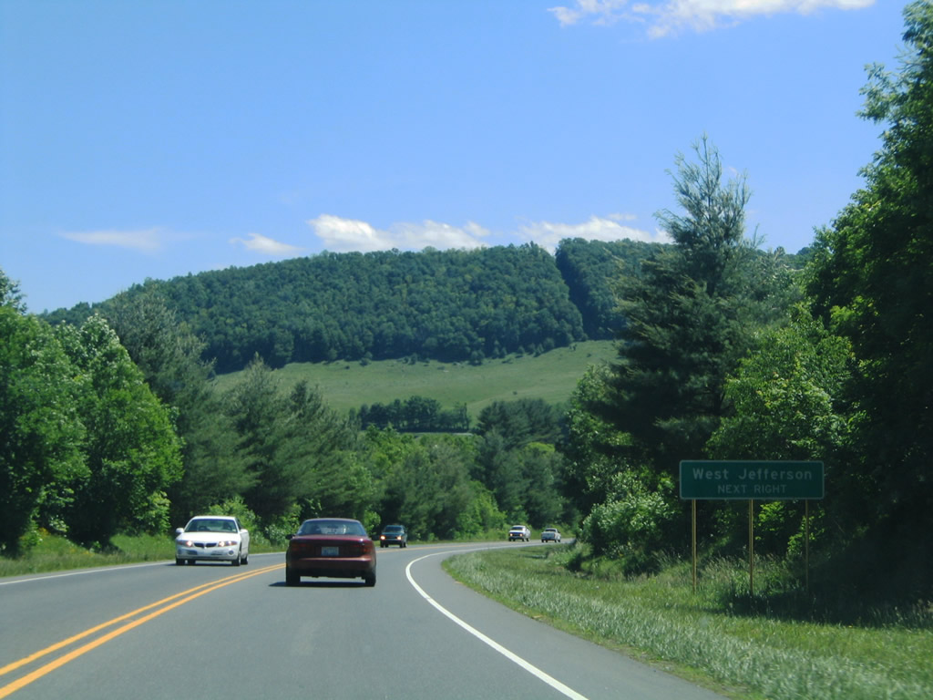
U.S. 221 meanwhile turns southward, bypassing Jefferson on the 3.6 mile drive to West Jefferson.
06/17/05

NC 88 joins U.S. 221 Business along Main Street. U.S. 221 Business ventures through both Jefferson and West Jefferson along the 4.7 mile old alignment of U.S. 221. NC 88 follows West Main Street after U.S. 221 Business splits for South Main Street to Smethport.
06/17/05
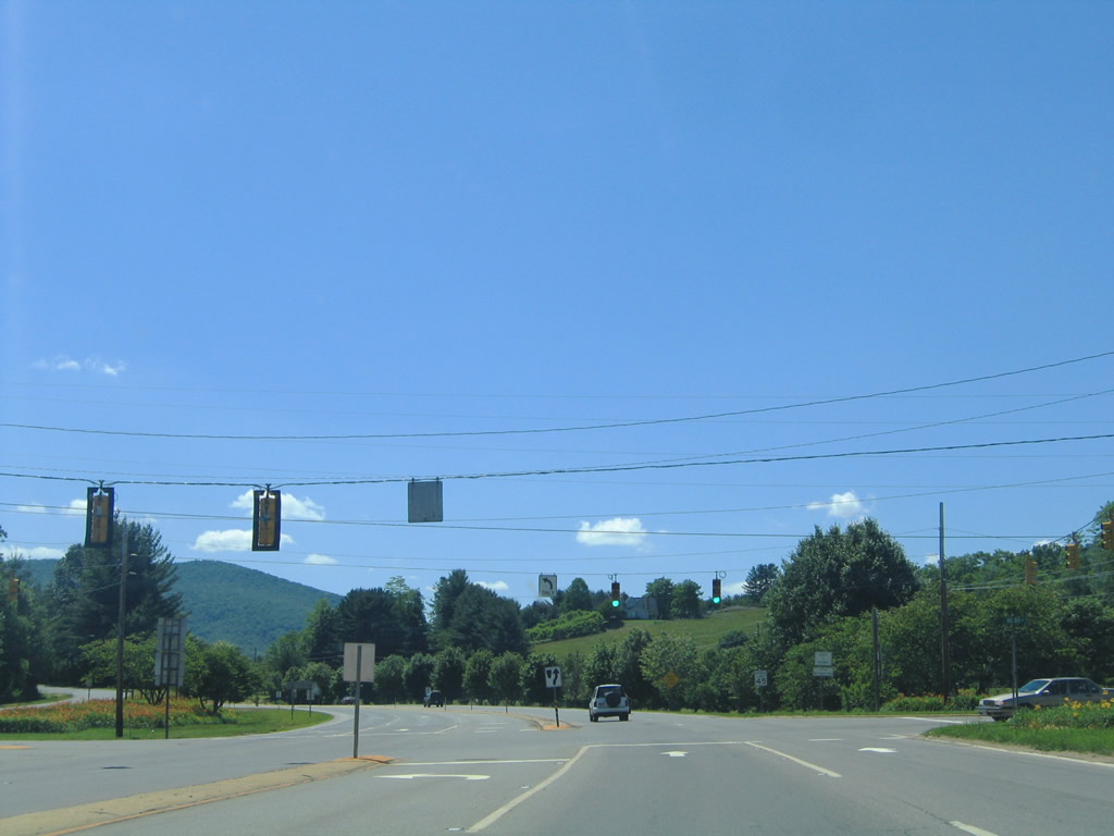
The first traffic light on U.S. 221 south is with E Main Street in Jefferson.
06/17/05
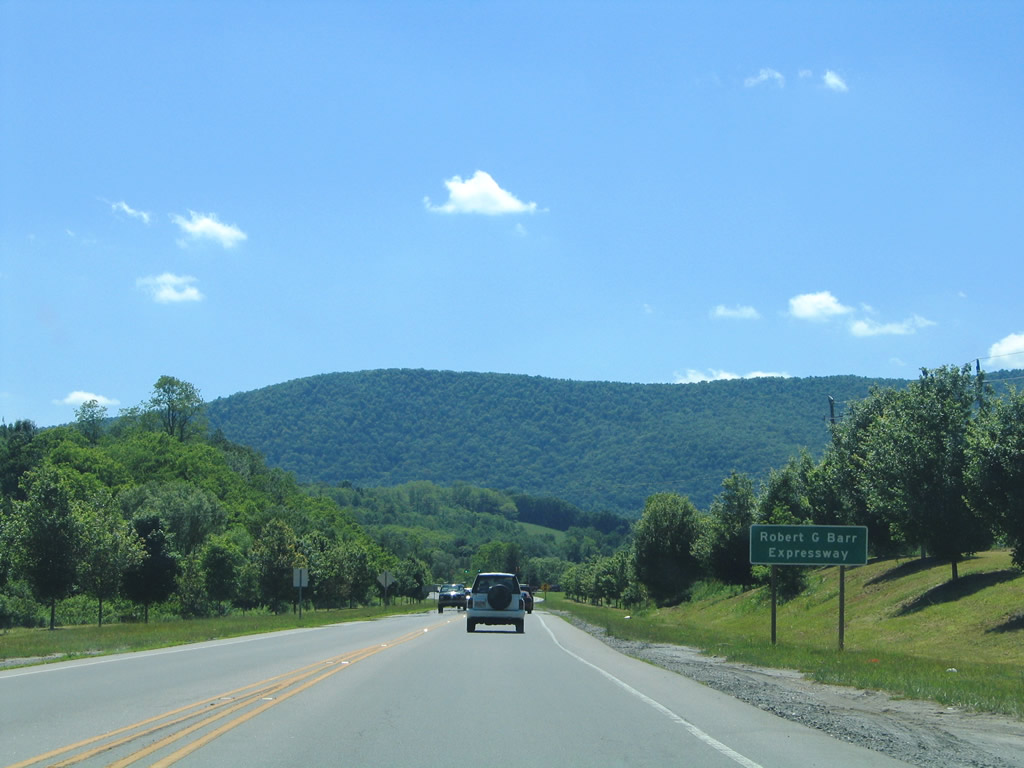
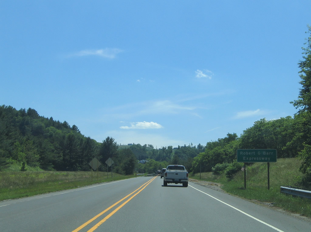
U.S. 221's bypass of Jefferson and West Jefferson is designated the Robert G. Barr Expressway. The controlled-access route carries just two lanes with only four at-grade intersections between the ends of U.S. 221 Business.
06/17/05
A second traffic light on U.S. 221 operates at Long Street. Long street connects Jefferson with a handful of residences south of the expressway and U.S. 221 Business (S Main Street).
06/17/05
Mt. Jefferson Road leads south from U.S. 221 Business (South Main Street) to intersect U.S. 221 (Robert G. Barr Expressway) north of this reassurance shield. The local road parallels the expressway southward, serving businesses and residences before turning southeast to its end at NC 163.
06/17/05
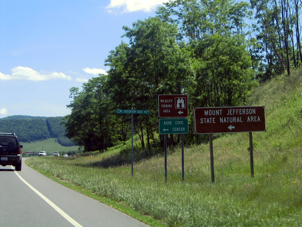
Mt. Jefferson State Park Road stems east from U.S. 221 onto Mount Jefferson. The peak doubles as a state natural area. Ashe Civic Center lies nearby.
06/17/05
U.S. 221 Business returns with NC 194 1.6 miles south of West Jefferson. U.S. 221 remains along the Robert G. Barr Expressway, bypassing built up areas to Baldwin. Beaver Creek Road, to the west, represents the old alignment of both U.S. 221 & NC 194 otherwise.
06/17/05
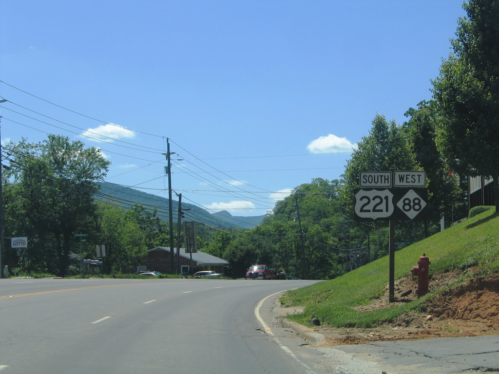
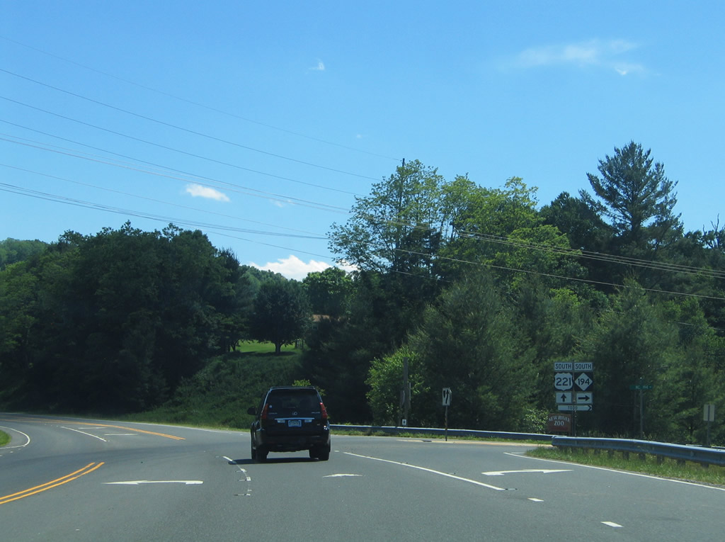
NC 163 north and NC 194 south come together at U.S. 221 Business's southern terminus. NC 194 joins U.S. 221 for 3.6 miles southwest to Baldwin. NC 163 begins and travels eight miles southeast to Obids.
06/17/05
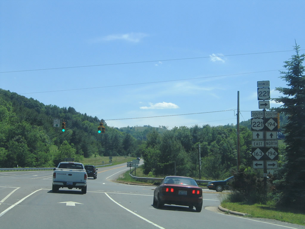
Southbound at the merge with NC 194 south on U.S. 221. NC 163 ventures 9.1 miles overall between the West Jefferson area and NC 16 at Horse Gap by Meditation Mountain.
06/17/05
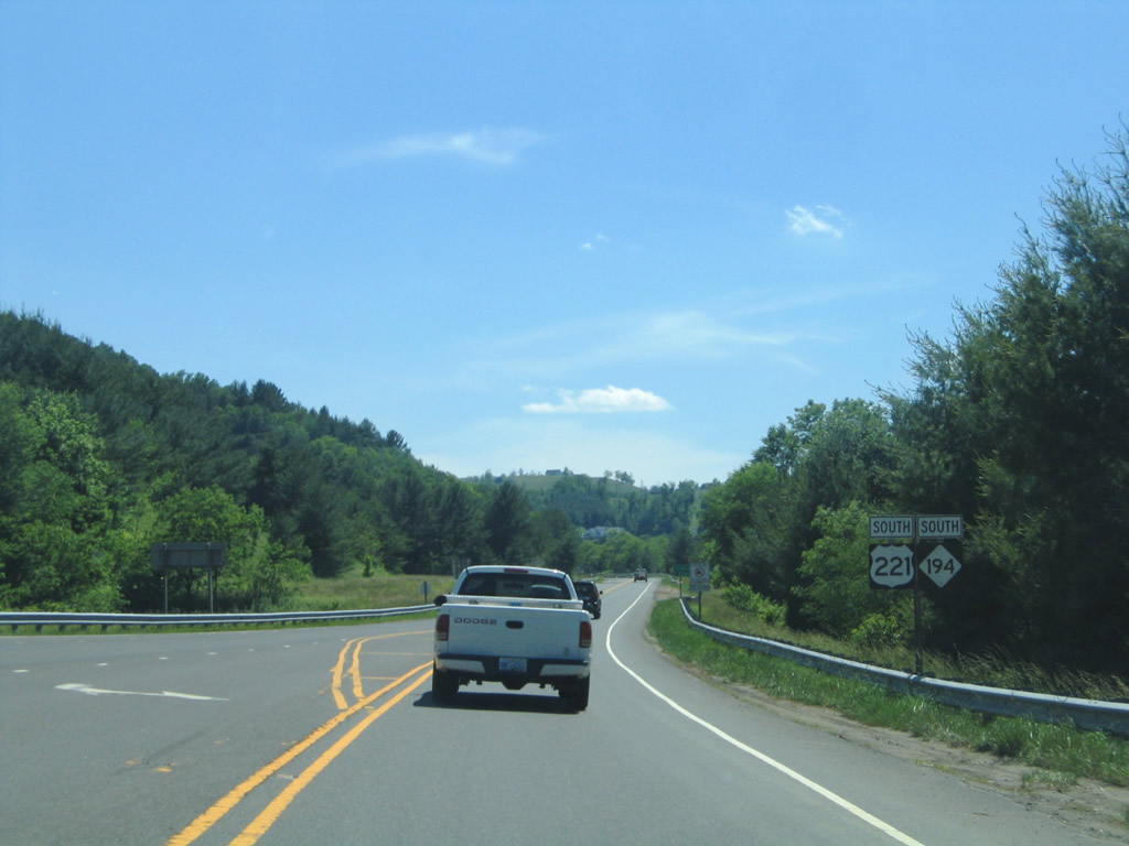
Continuing south by Beaver Creek on U.S. 221 & NC 194 south.
06/17/05

Nearing the intersection with Mulatto Mountain Road south on Robert G. Barr Expressway south. The local road meanders south between Queen Ridge and Mulatto Mountain, returning to U.S. 221 south of Baldwin.
06/17/05
NC 194 branches westward from U.S. 221 (Robert G. Barr Expressway) at Baldwin to Todd and Boone.
06/17/05
Parting ways with NC 194 south on U.S. 221 at Vernon Roten Road east in Baldwin. NC 194 represents the former alignment of U.S. 221 to Boone. U.S. 221 was relocated onto its current alignment by 1952.2
06/17/05
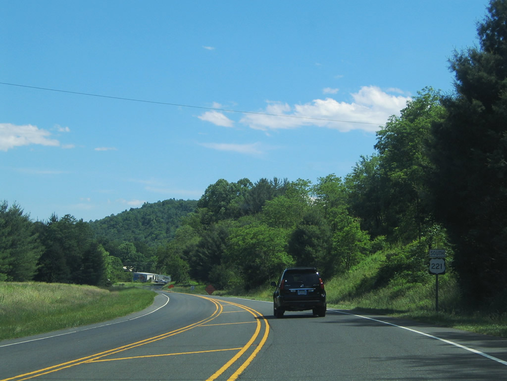
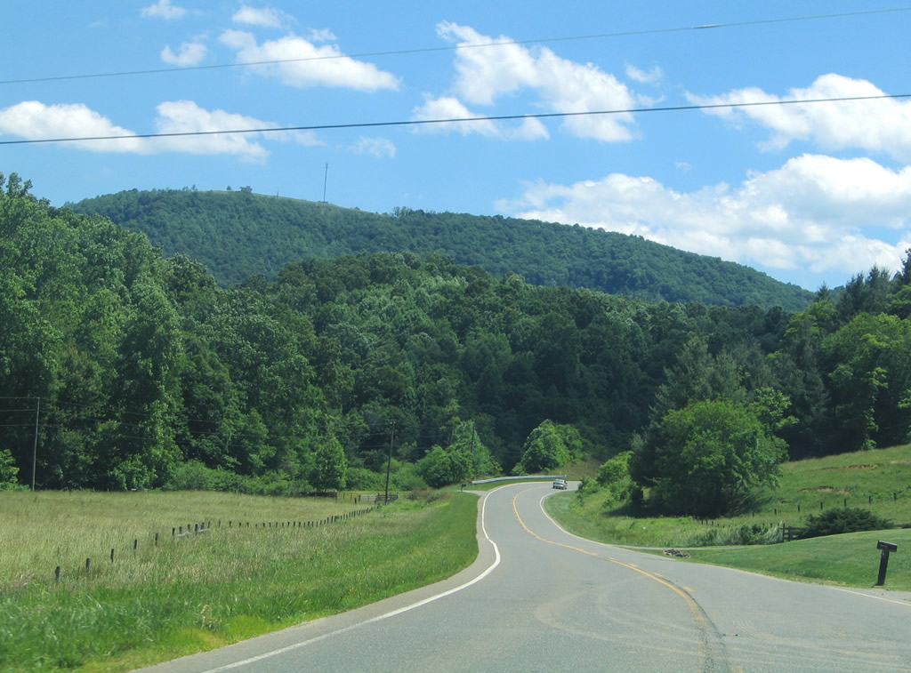
U.S. 221 transitions from the Robert G. Barr Expressway onto a conventional two lane highway south of Baldwin. The highway continues another 7.8 miles to the Watauga County line.
06/17/05
References:
Photo Credits:
- Alex Nitzman: 06/17/05
Connect with:
Page Updated Thursday April 30, 2009.