
U.S. 258 South - Carrollton to Smithfield
 South
South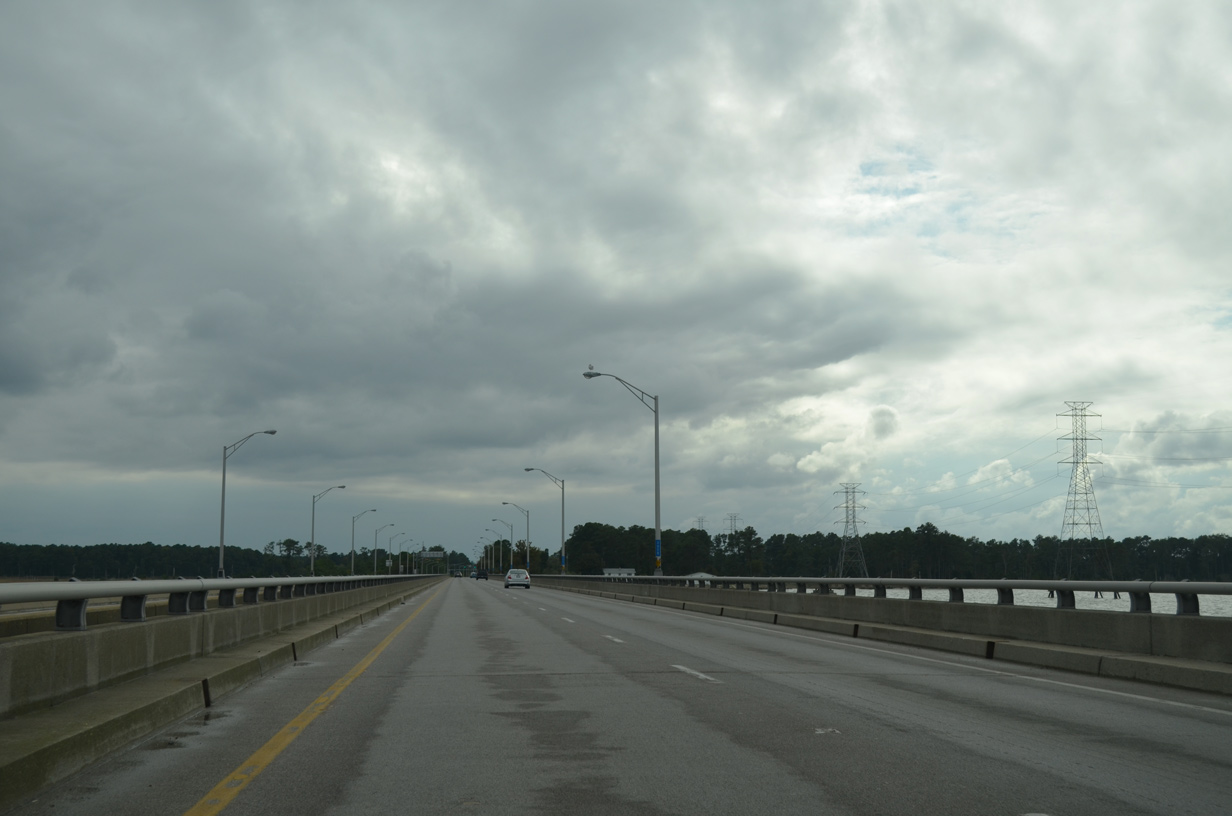
The James River Bridge reaches land at Ragged Island Wildlife Management Area.
10/12/14
10/12/14
10/12/14
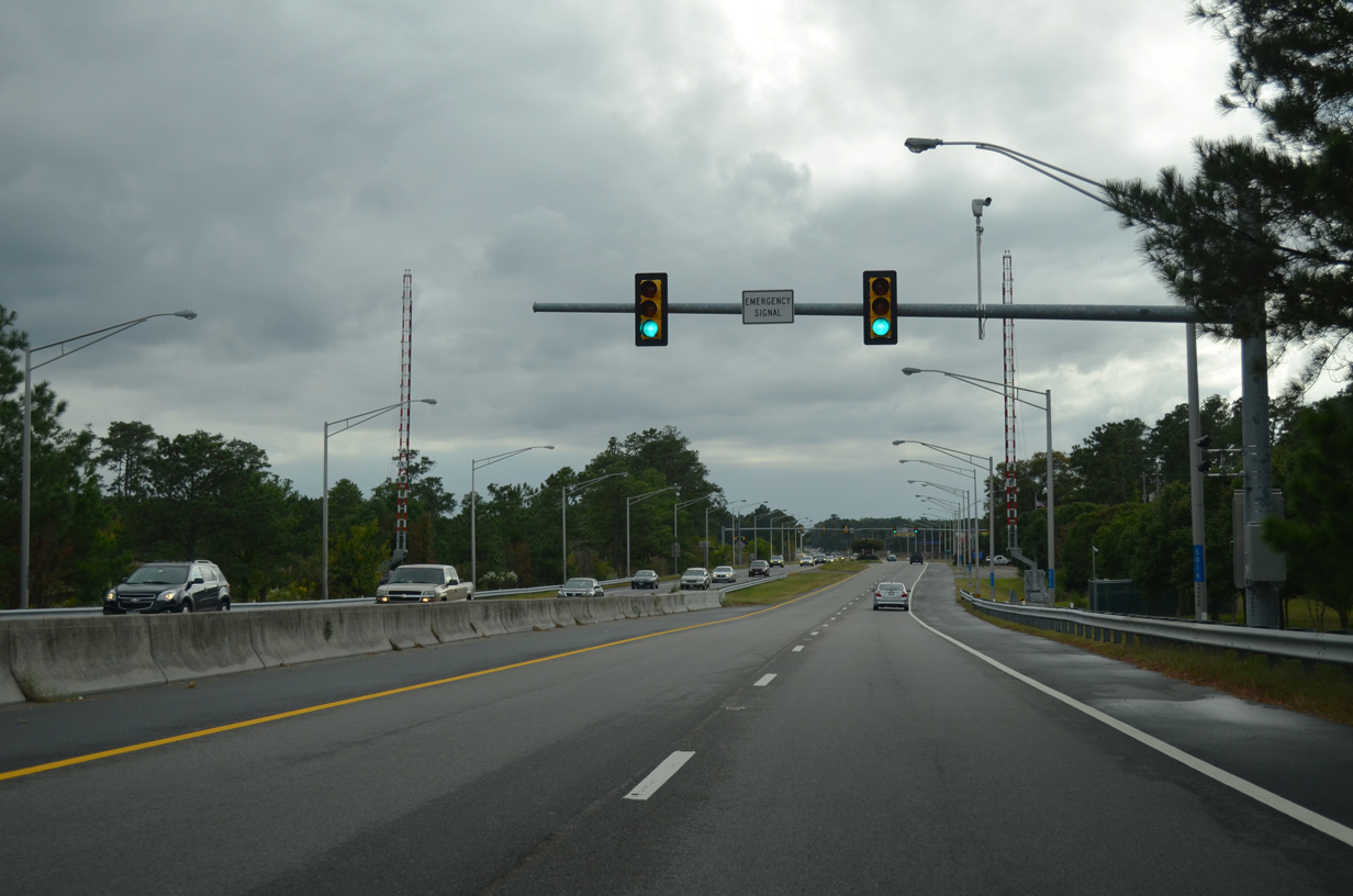
SR F-807 connects U.S. 17/258 with a parking area for Ragged Island W.M.A.
10/12/14
10/12/14
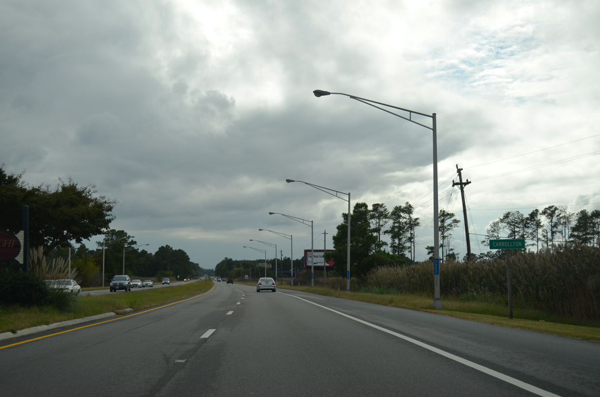
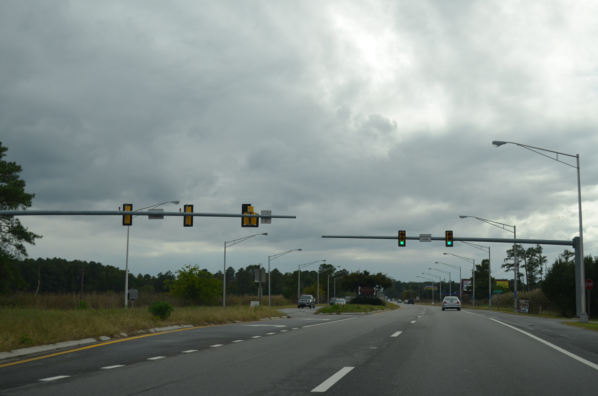
U.S. 17/258 (Carrollton Boulevard) advances south between Kings Creek and Cooper Creek into the unincorporated community of Carrollton.
10/12/14
10/12/14
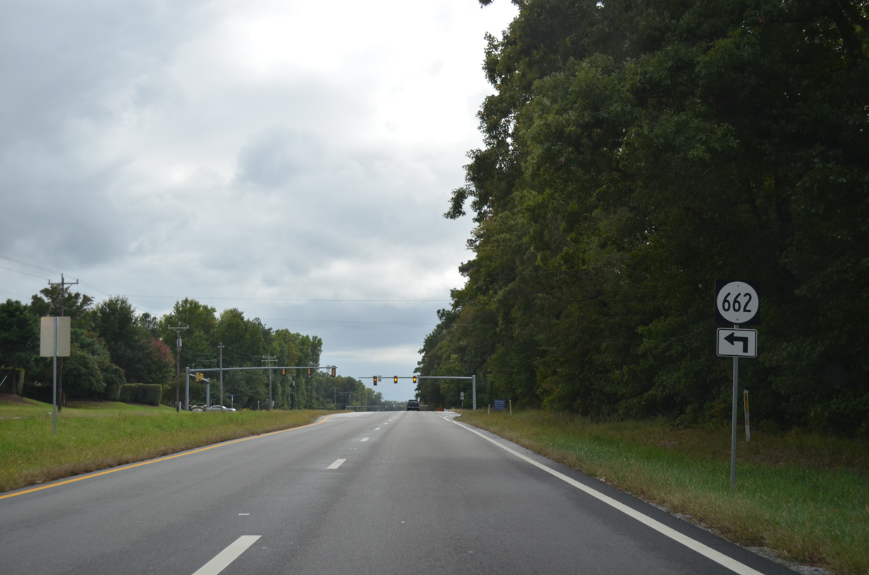
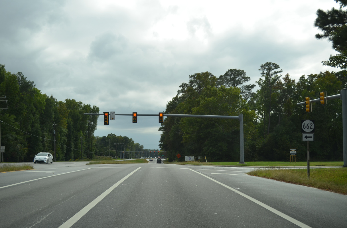
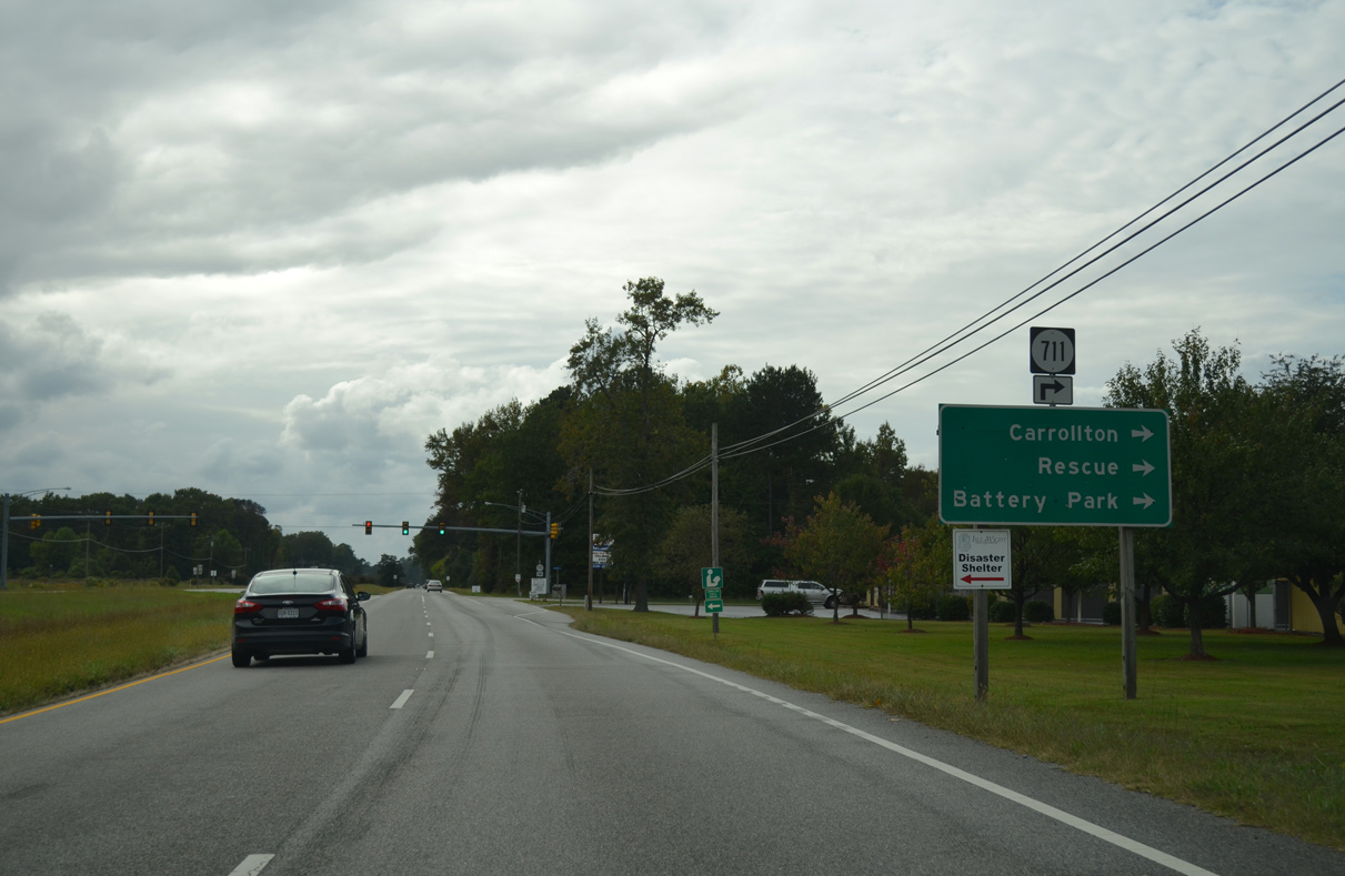
SR 662 (Whippingham Parkway) loops south through the Eagle Harbor and Carisbrooke developments.
10/12/14
10/12/14
Harbor Point Lane ties into U.S. 17/258 (Carrollton Boulevard) at SR 662 from the Eagle Harbor Apartments.
10/12/14
10/12/14
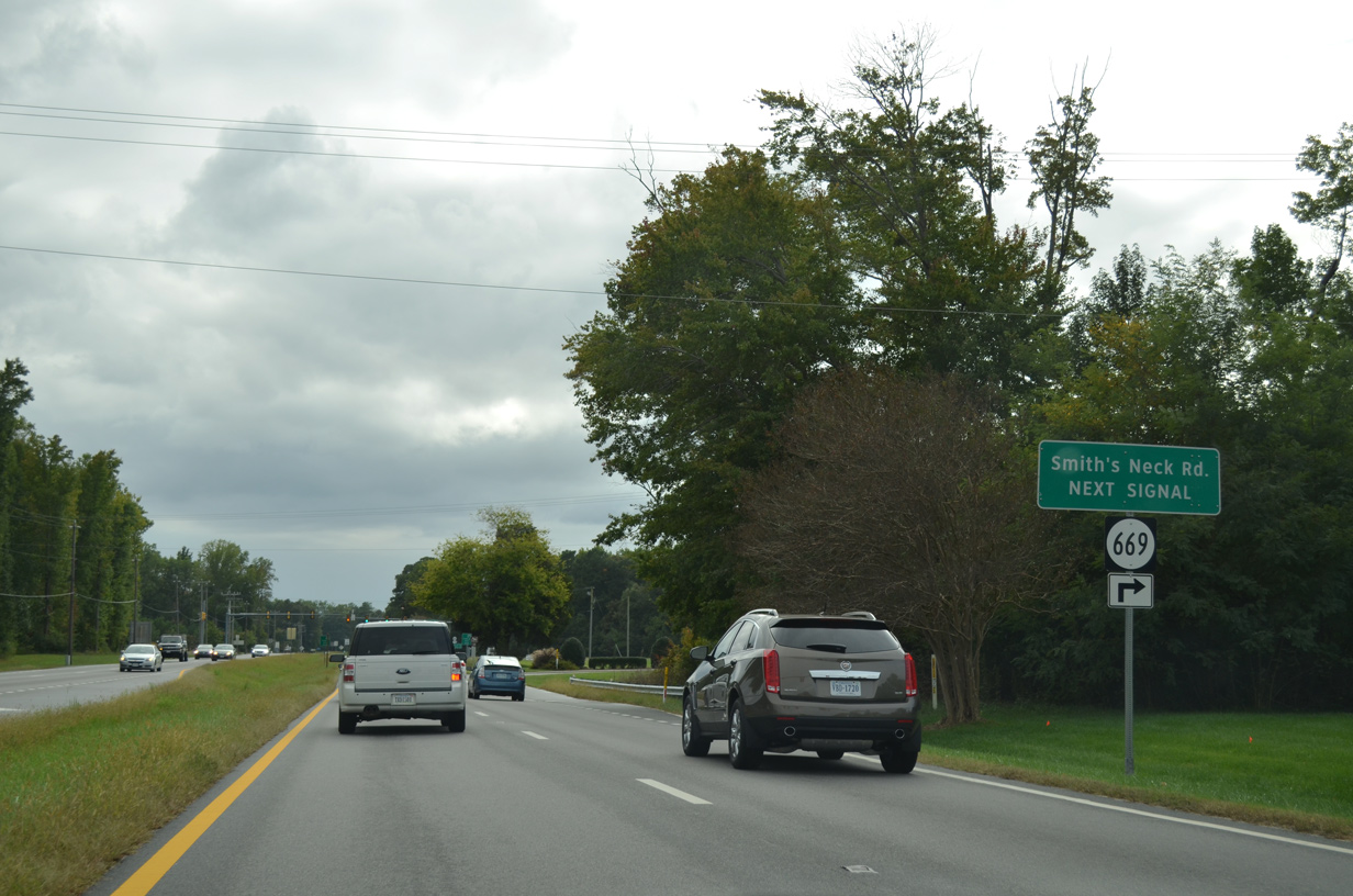
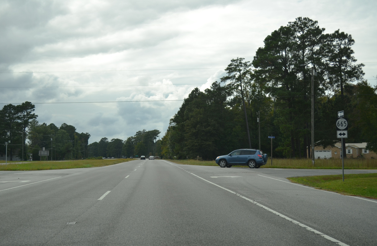
SR 669 (Smiths Neck Road) is a major collector 0.72 miles linking Carrollton Boulevard with SR 665 (Reynolds Drive) through the Eagle Harbor development.
10/12/14
10/12/14

Smiths Neck Road extends 3.12 miles north from SR 669 along SR 665 to Rescue and Goodwin Point at the mouth of the Pagan River.
10/12/14
10/12/14
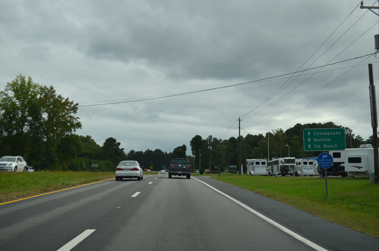
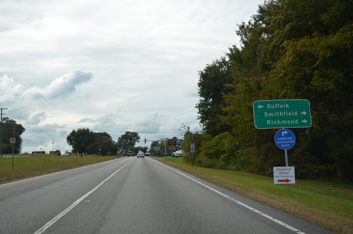
U.S. 258/SR 32 branches west from U.S. 17 (Carrollton Boulevard) along Brewers Neck Boulevard at Barlett. U.S. 17 continues southeast to Portsmouth.
10/12/14
10/12/14
SR 32 overlaps with U.S. 17/258 south from Newport News, but is not acknowledged until the two U.S. routes split at Barlett.
10/12/14
10/12/14
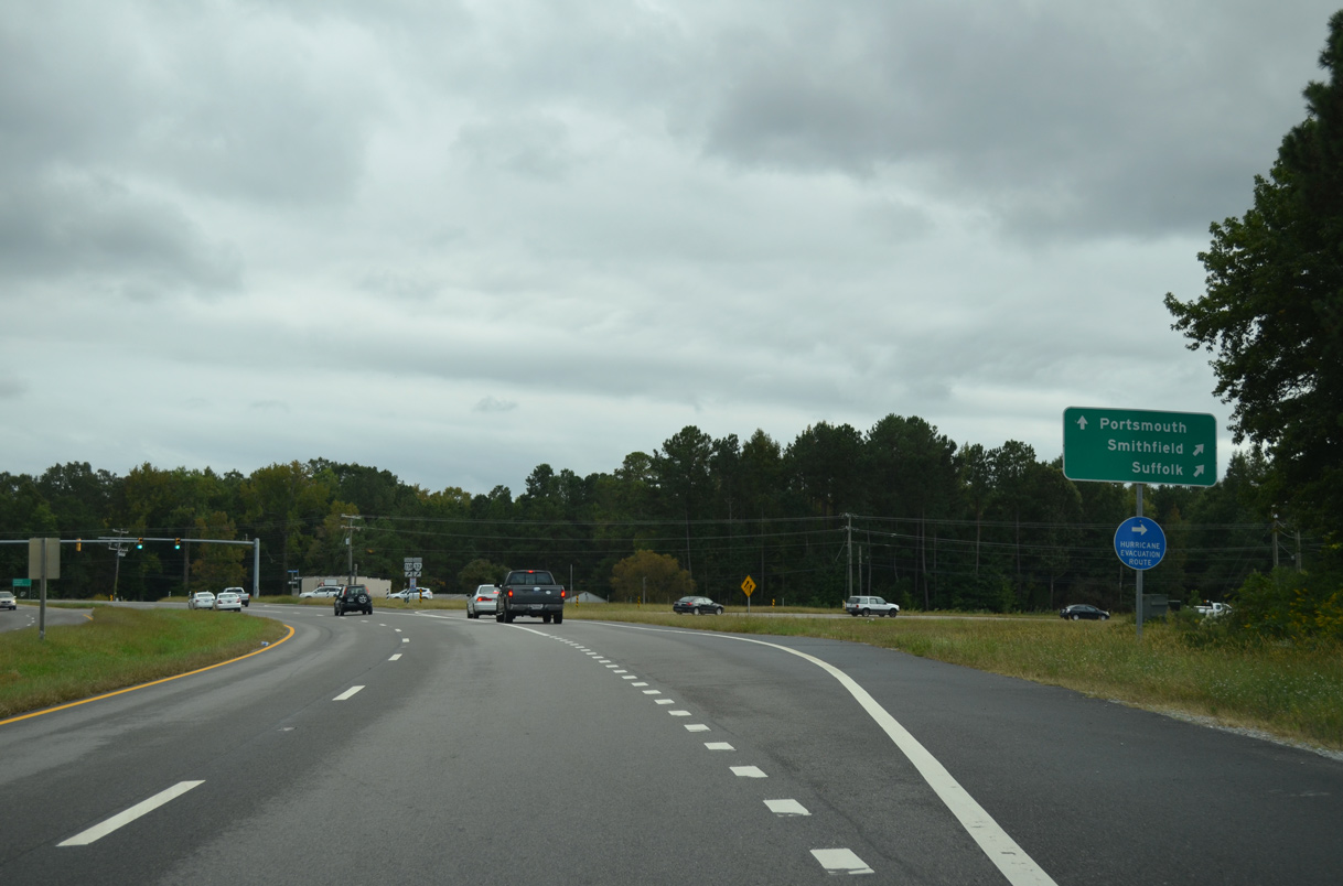
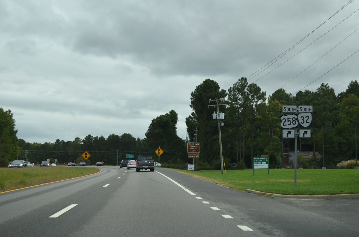
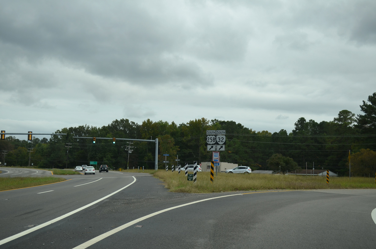
U.S. 258/SR 32 (Brewers Neck Boulevard) head west 2.85 miles to SR 10 at Benns Church. U.S. 17 (Carrollton Boulevard) continues 2.91 miles southeast to the Suffolk city line.
10/12/14
10/12/14
10/12/14
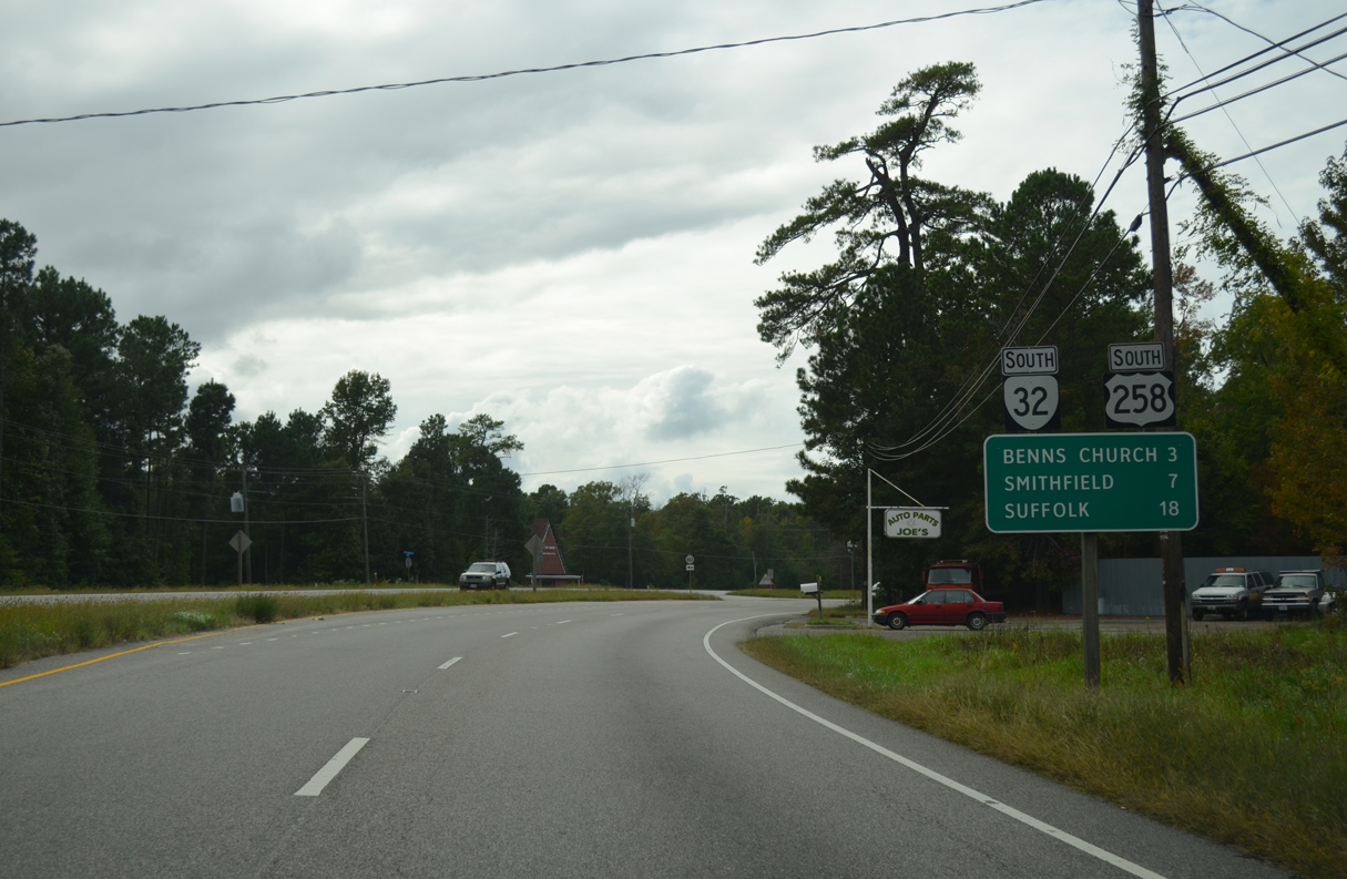
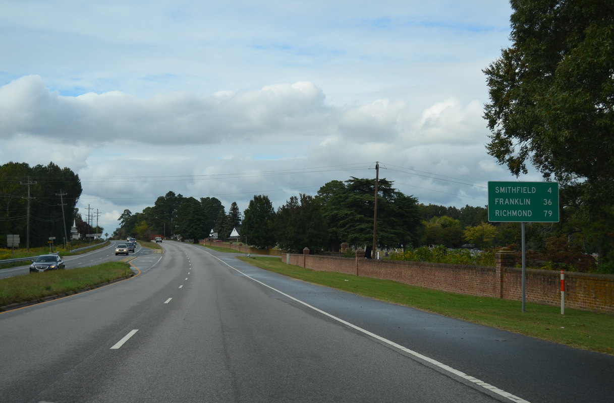
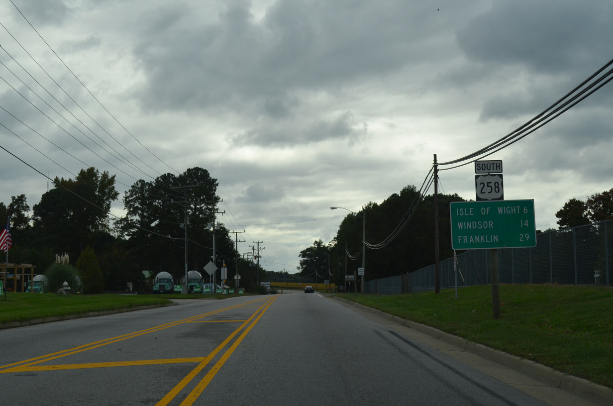
U.S. 258 heads northwest seven miles to Smithfield. Suffolk is seven miles to the south via SR 32 and SR 10.
10/12/14
10/12/14
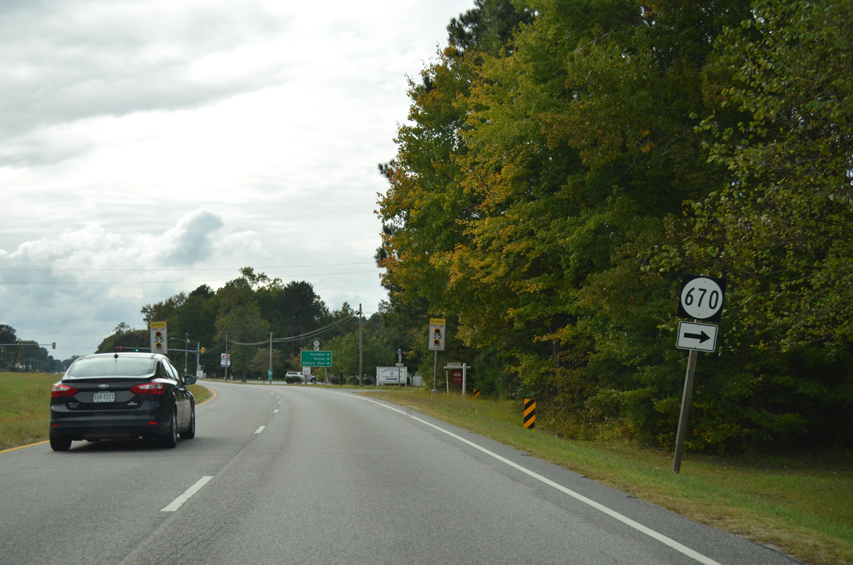
SR 670 (Slant Drive) provides a cutoff to Norsworthy Drive north 0.43 miles to SR 665 (Reynolds Drive) in Carrollton.
10/12/14
10/12/14
10/12/14
10/12/14
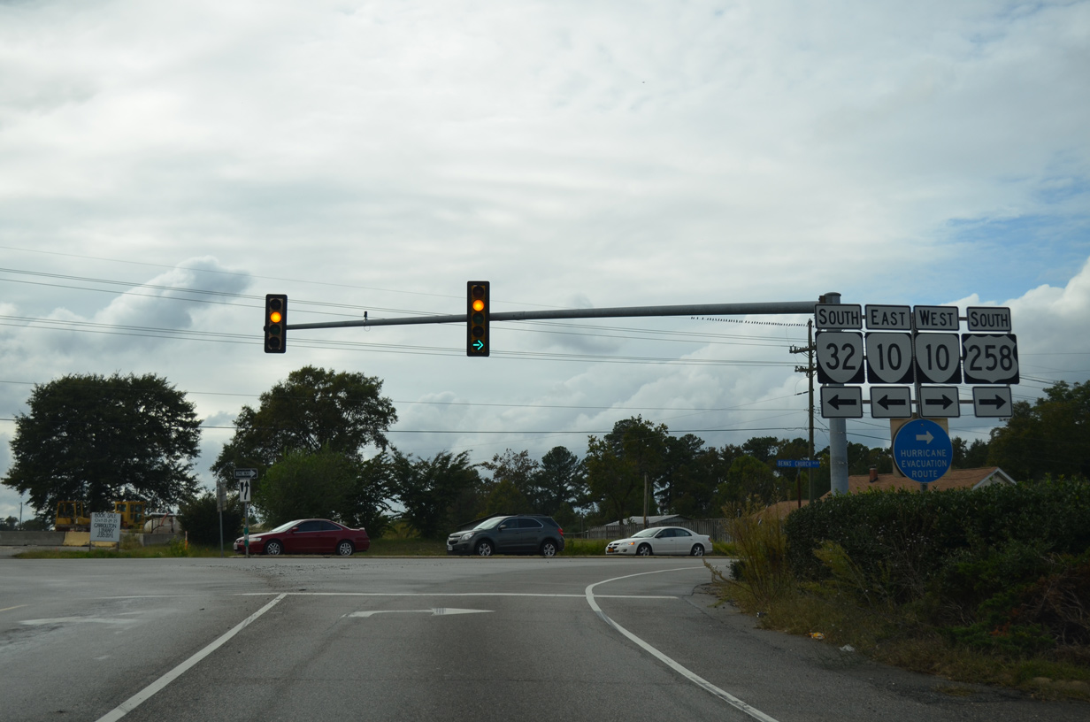
Benns Grant Boulevard opened in 2016, connecting U.S. 258/SR 32 with SR 10 (Benns Church Boulevard) south ahead of Benns Church.
10/12/14
10/12/14
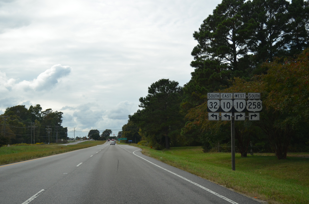
Benns Grant Boulevard arcs southwest as the default movement of SR 32 to SR 10 south. Despite this, shields posted include TO banners.
10/12/14
10/12/14
SR 10/32 overlap 13.1 miles south to Chuckatuck and U.S. 460 Business (Main Street) outside the Suffolk city center.
10/12/14
10/12/14
U.S. 258/SR 10 (Benns Church Boulevard) combine northwest 4.26 miles to Main Street in Smithfield.
10/12/14
10/12/14
South 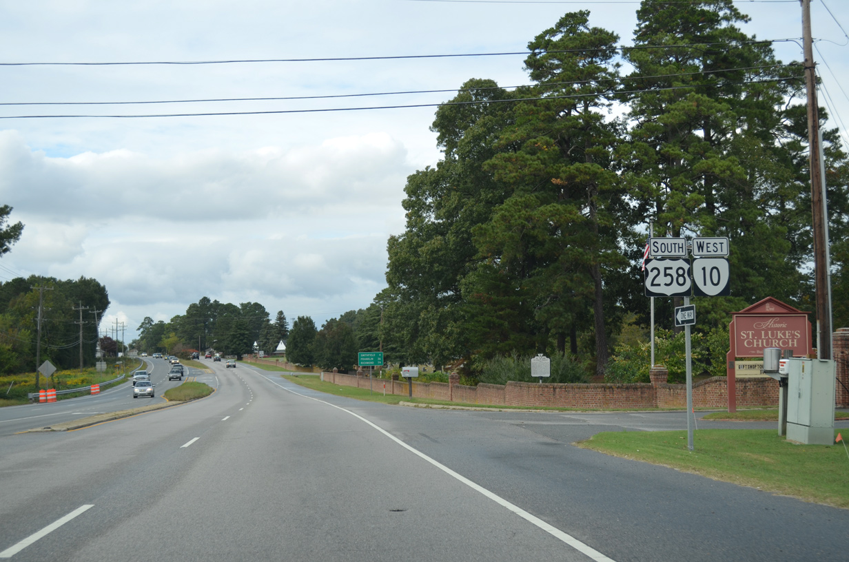
Southbound U.S. 258 runs north alongside SR 10 west on the ensuing stretch into the town of Smithfield.
10/12/14
10/12/14
SR 10 extends 78.28 miles northwest from U.S. 258 at SR 32 to U.S. 360 (Hull Street Road) in Richmond.
10/12/14
10/12/14
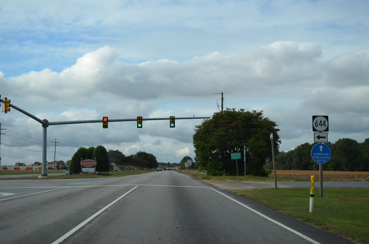
SR 644 (Turner Drive) angles 2.10 miles southwest from U.S. 250/SR 10 (Benns Church Boulevard) to SR 620 (Scotts Factory Road) at Bowling Green Road.
10/12/14
10/12/14
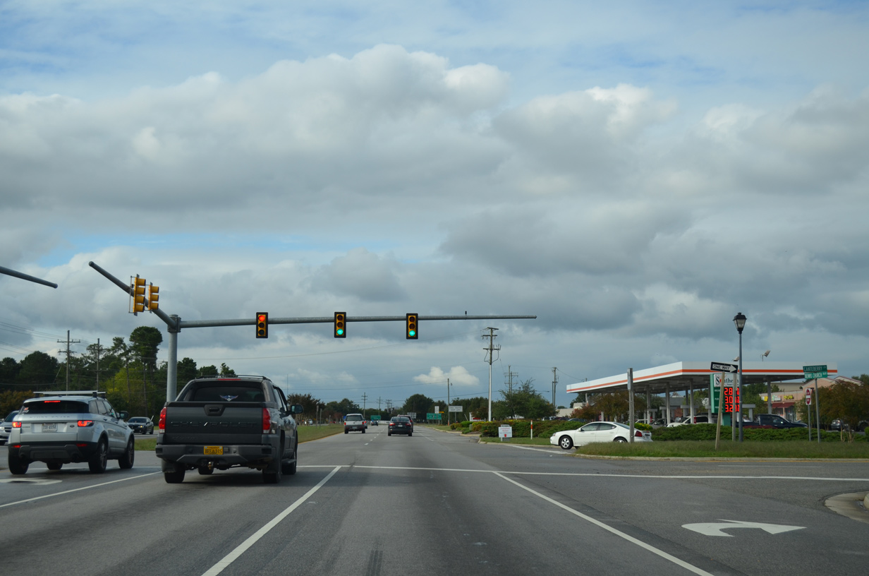
Canterberry Lane spurs east from U.S. 258/SR 10 at Smithfield Plaza to the Waterford Oaks subdivision.
10/12/14
10/12/14

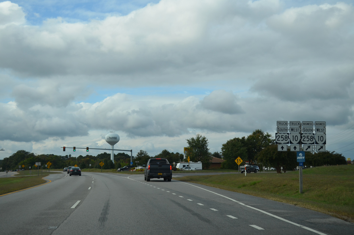
U.S. 258/SR 10 shift onto the Route 10 Bypass at the split with U.S. 258 Business/SR 10 Business (S Church Street) in Smithfield.
10/12/14
10/12/14
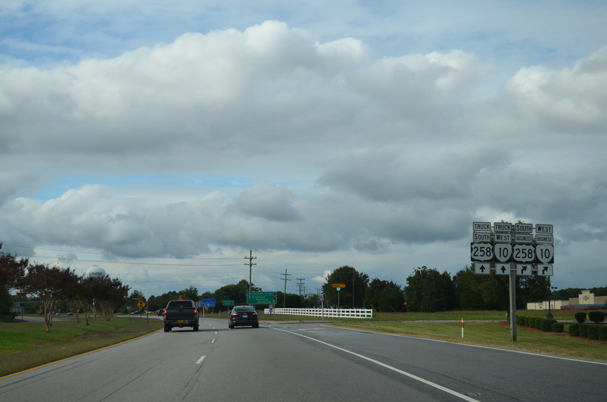
The mainline route of both U.S. 258/SR 10 are referenced with truck banners at the split with the business routes in Smithfield.
10/12/14
10/12/14
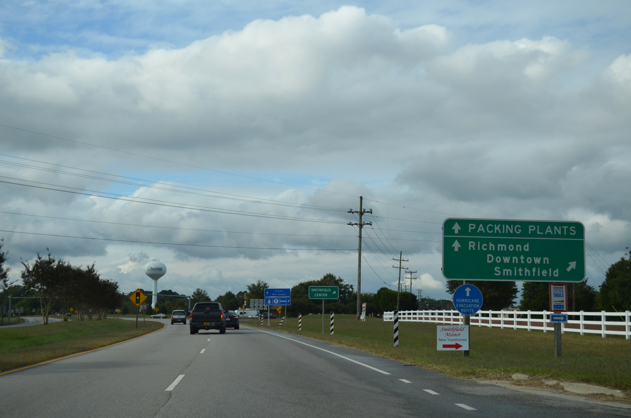
SR 10 Business constitutes a 6.63 mile route north from Smithfield along Old Stage Highway back to SR 10 at Lawson. Smithfield Packing Company lies north of Downtown Smithfield and the Pagan River along N Church Street (SR 10 Business).
10/12/14
10/12/14
U.S. 258 Business/SR 10 Business overlap for 2.43 miles north to Main Street in Smithfield Center.
10/12/14
10/12/14
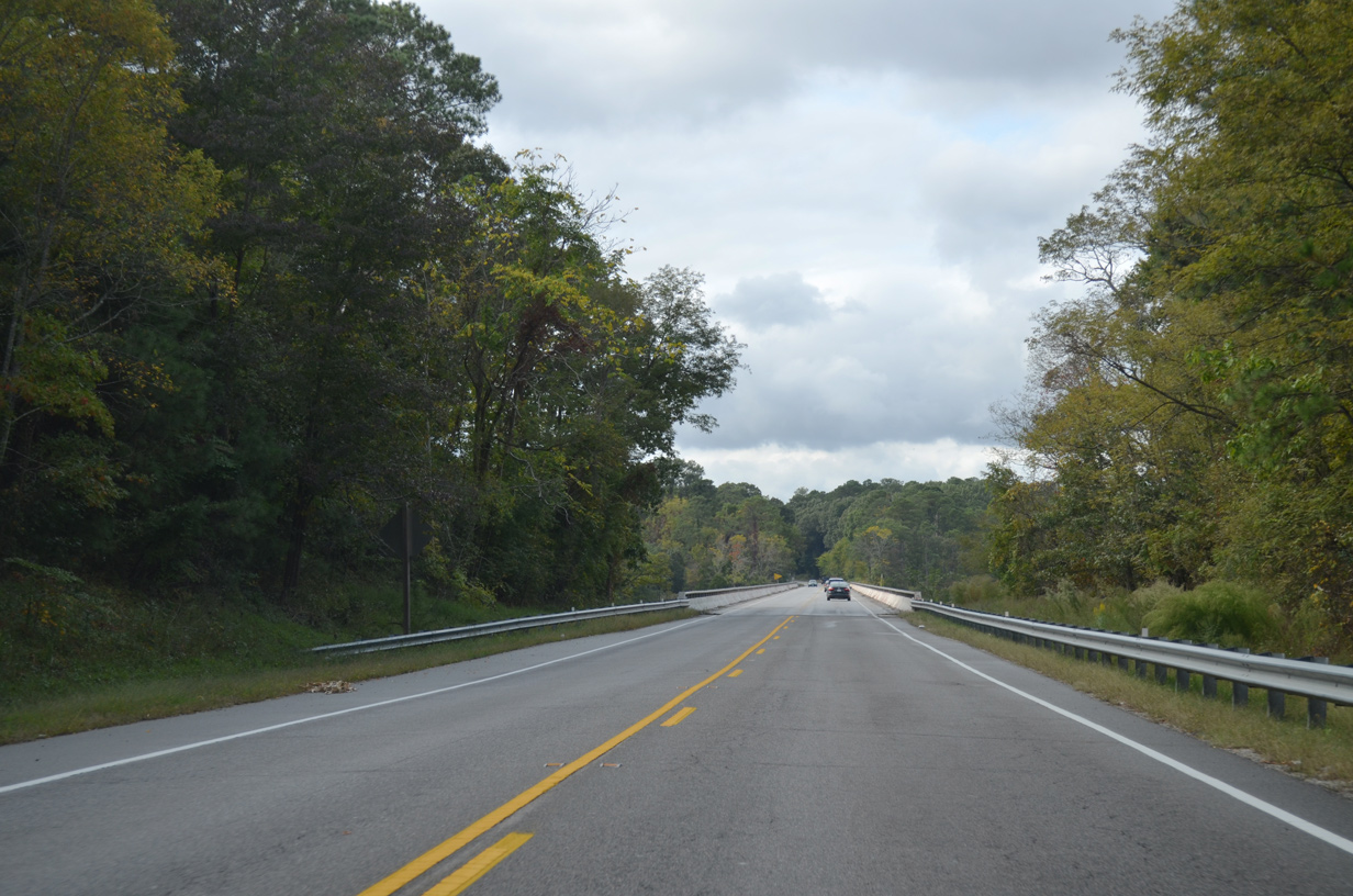
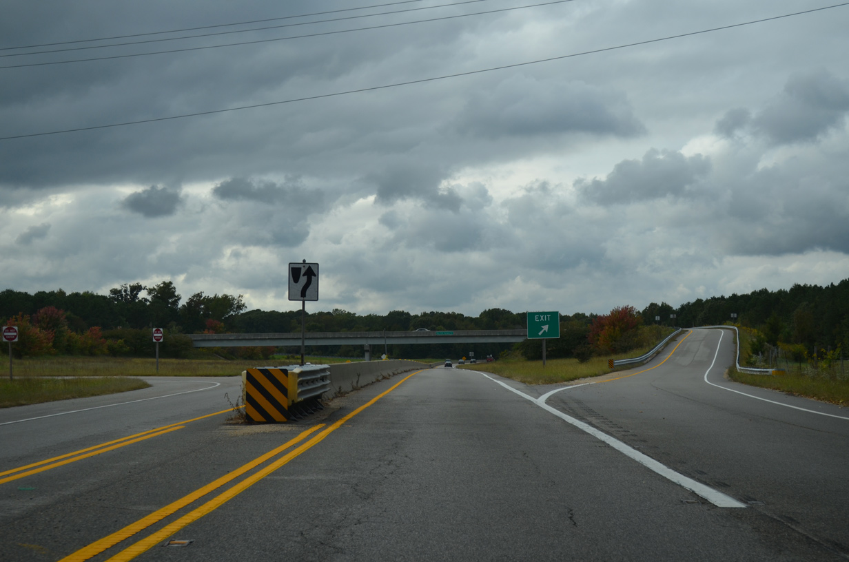
U.S. 258/SR 10 continue northwest along a two mile controlled access expressway.
10/12/14
10/12/14
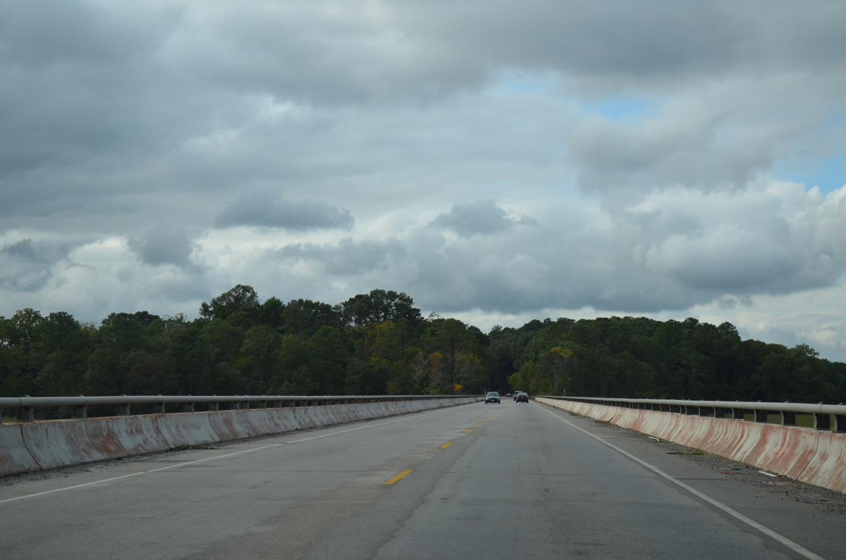
The Route 10 Bypass spans Cypress Creek.
10/12/14
10/12/14
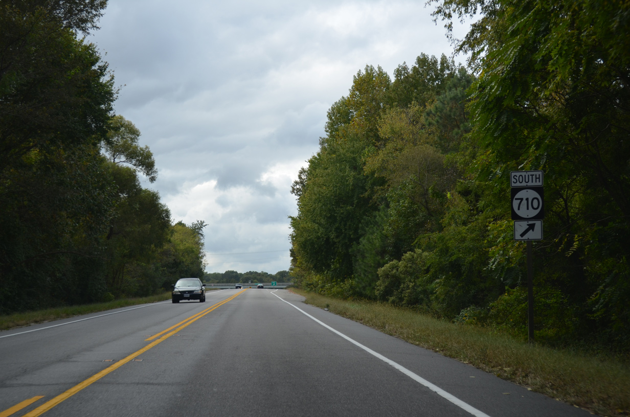
A 0.38 mile long major collector, SR 710 (Fairway Drive) links U.S. 258/SR 10 with SR 655 (Great Springs Road) and the adjacent Cypress Creek golf course community.
10/12/14
10/12/14
The diamond interchange with SR 710 (Fairway Drive) was built in 1997.
10/12/14
10/12/14
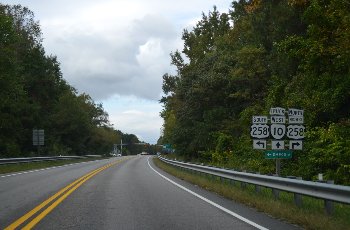
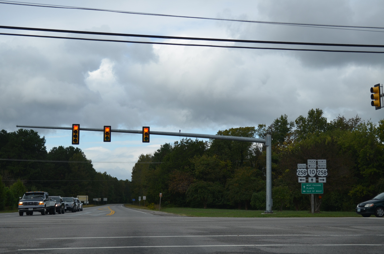
U.S. 258 south splits with SR 10 west at a signalized intersection with U.S. 258 Business north along Main Street.
10/12/14
10/12/14
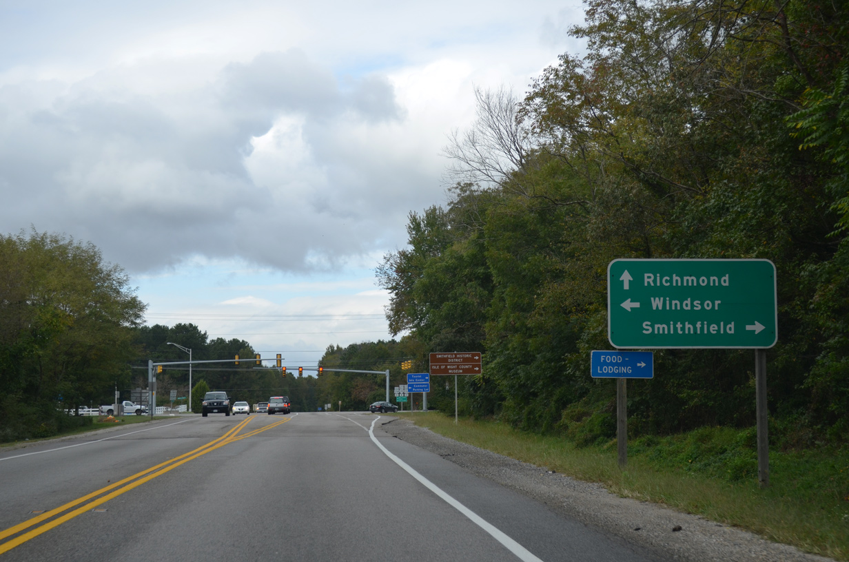
U.S. 258 resumes a southerly course from SR 10 at Smithfield to Isle of Wight and Windsor. SR 10 continues northwest to the Surry County seat of Surry.
10/12/14
10/12/14
U.S. 258 Business (Main Street) leads 0.64 miles east to SR 10 Business (Church Street) in Downtown Smithfield.
10/12/14
10/12/14
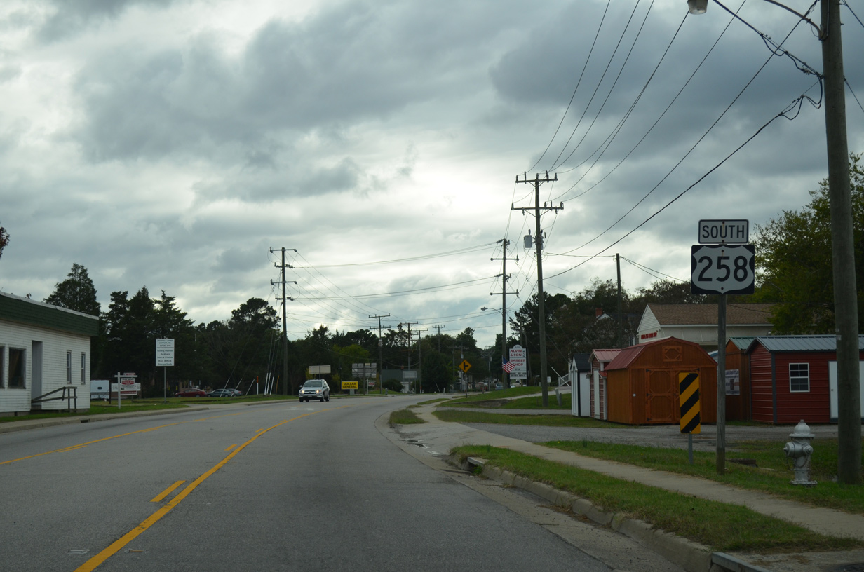
South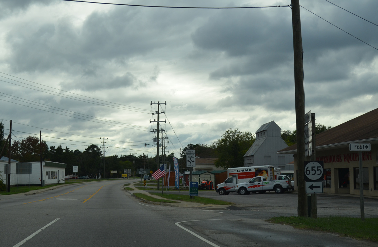
SR 655 (Great Springs Road) north ties into U.S. 258 (Main Street) across from Pole Road to the immediate west of SR 10.
10/12/14
10/12/14
10/12/14
10/12/14
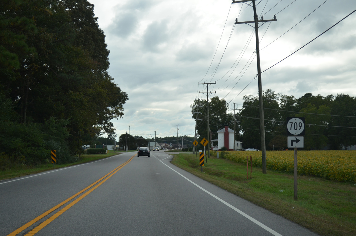
SR 709 (Waterworks Road) arcs west from U.S. 258 along the Smithfield town line to Smithfield Lake Dam.
10/12/14
10/12/14
Photo Credits:
- Alex Nitzman: 10/12/14
Page Updated Wednesday April 21, 2021.