
U.S. 285 South - Vaughn to Roswell

 South
South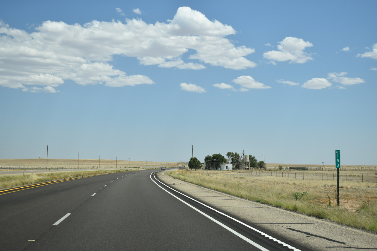
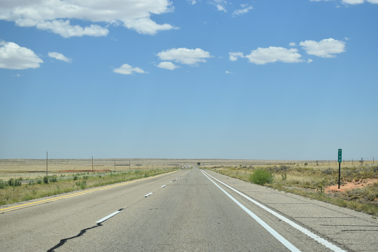
U.S. 285 passes through Mesa south of the De Baca County line.
06/21/19
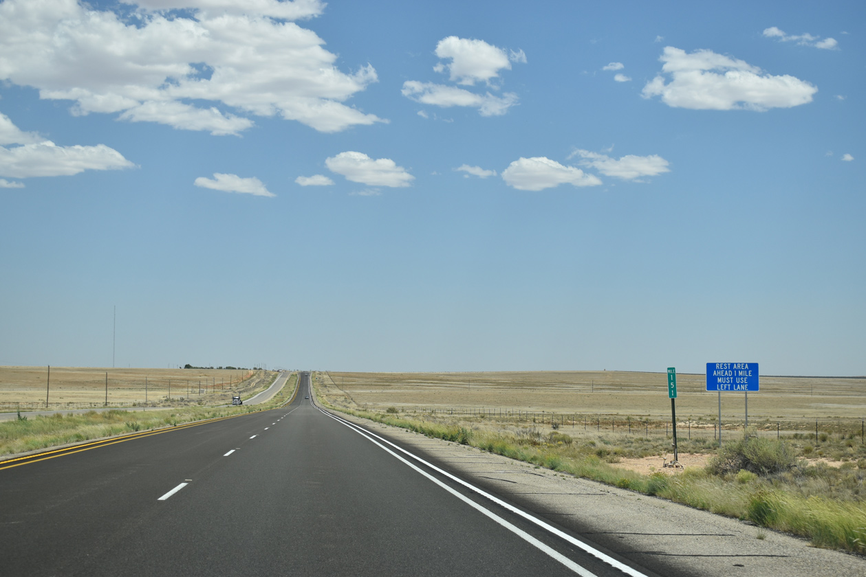
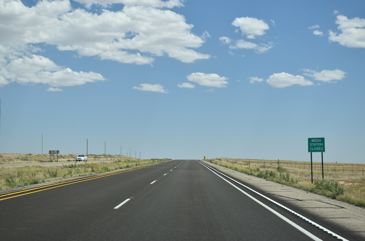
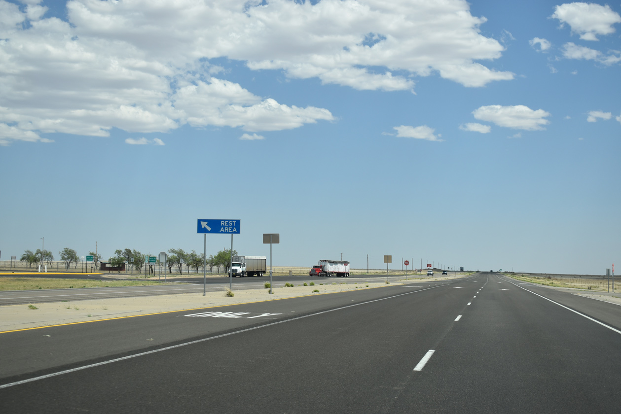
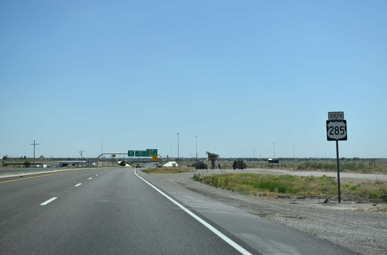
The Mesa Rest Area lies along the east side of U.S. 285 at mile marker 150. The facility doubles as a weigh station for commercial trucks.
06/21/19
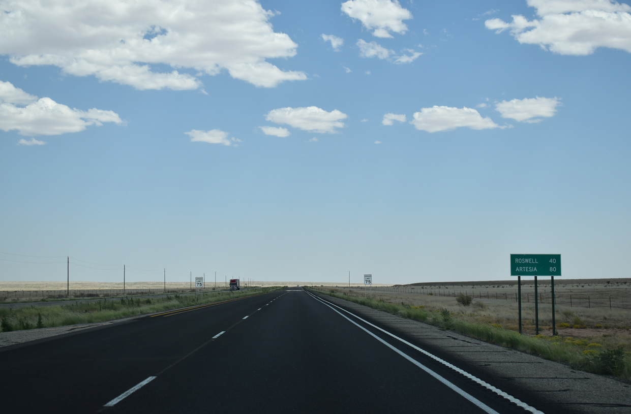
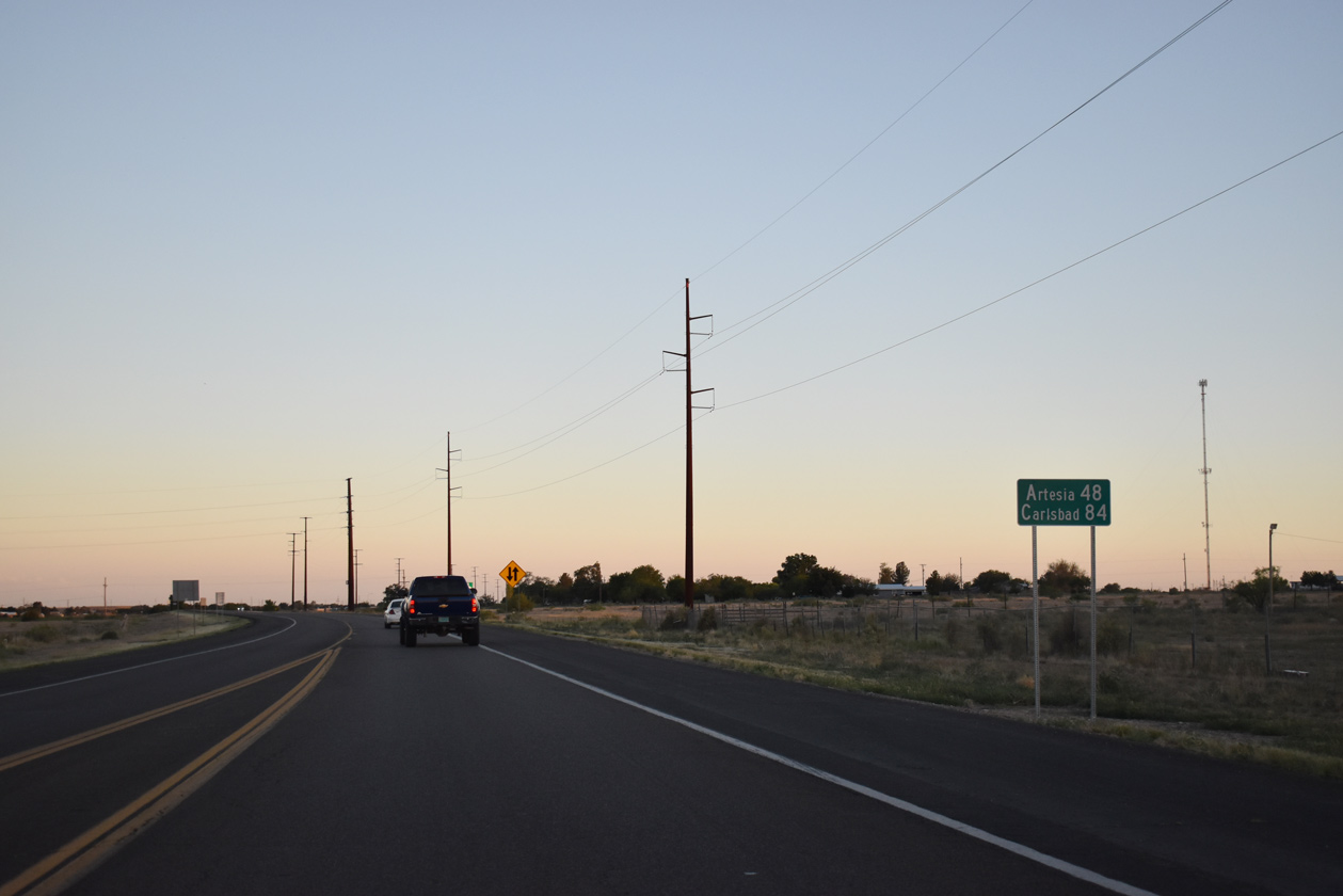
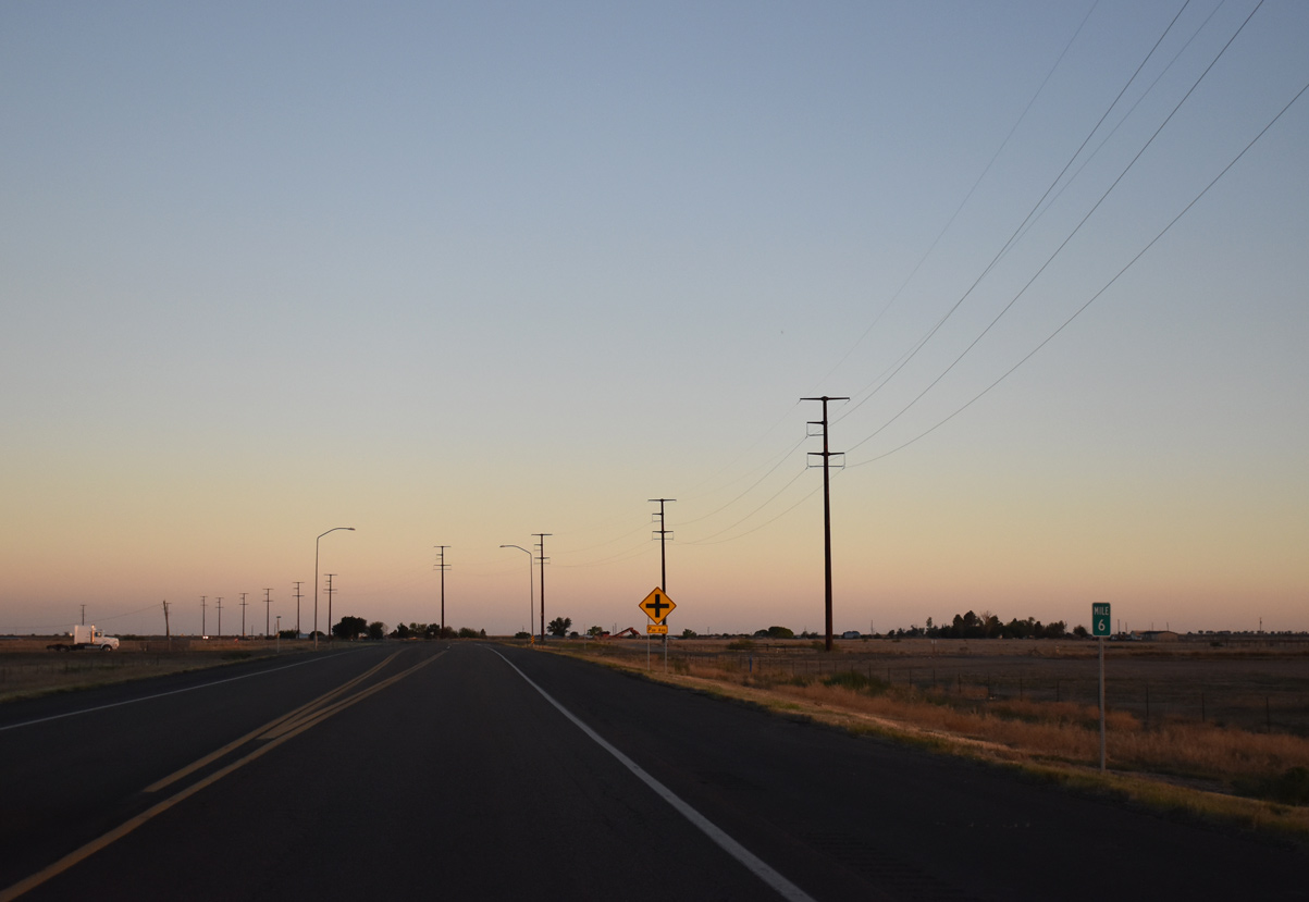
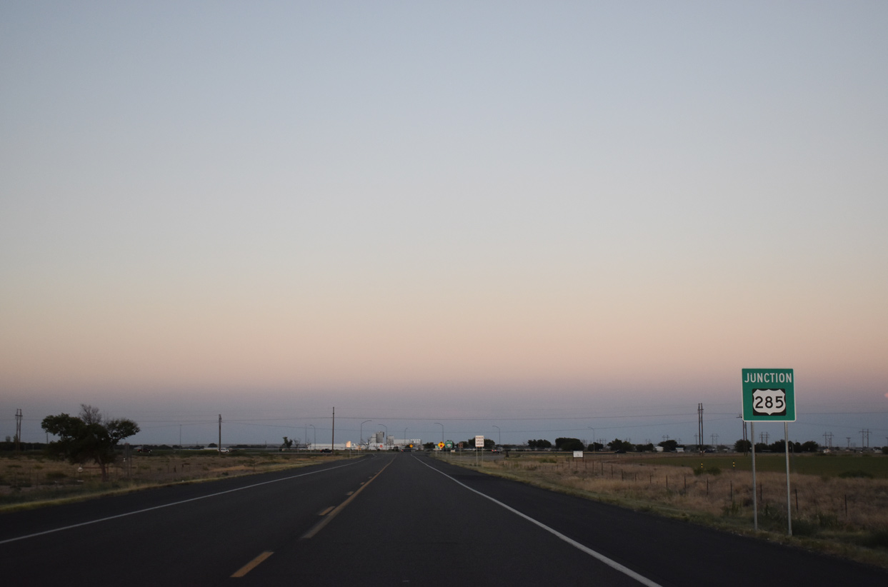
U.S. 285 continues 40 miles south of the Mesa Rest Area to Roswell and 80 miles to Artesia.
06/21/19

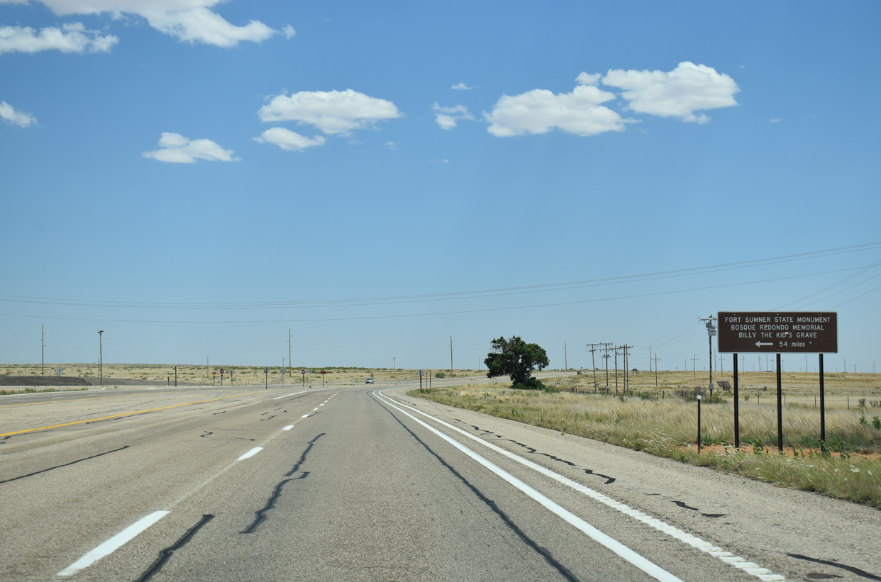
NM 20 concludes a 45.91 mile course at U.S. 285 (Fort Summer Road).
06/21/19
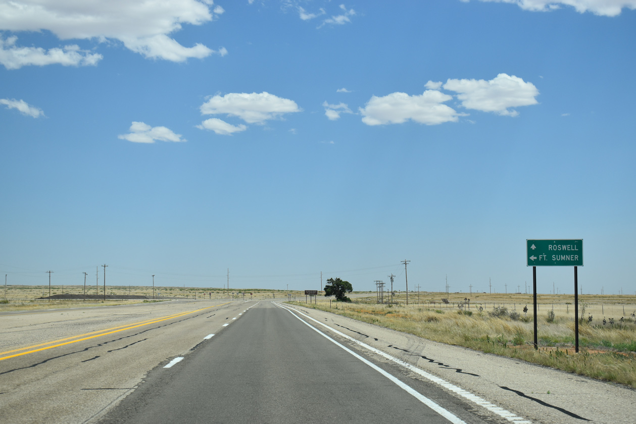
NM 20 leads northeast to U.S. 60 at Fort Sumner.
06/21/19
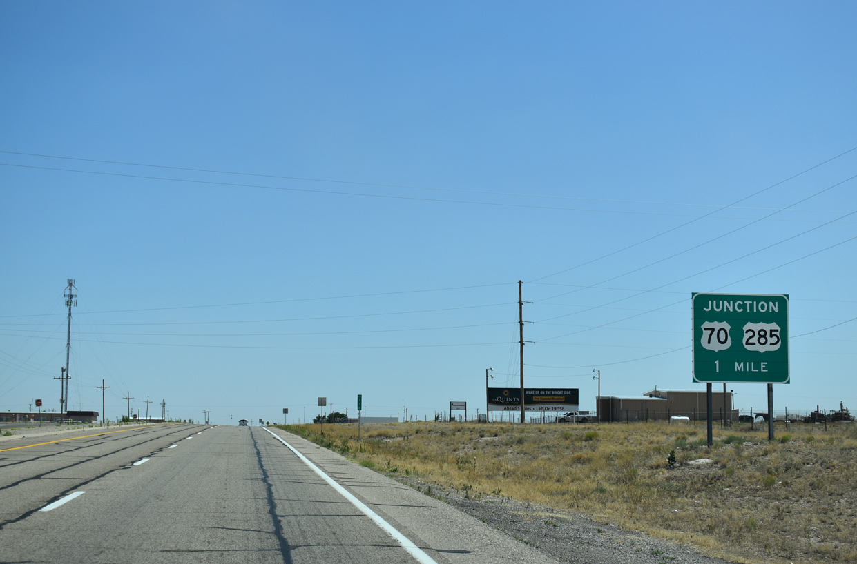
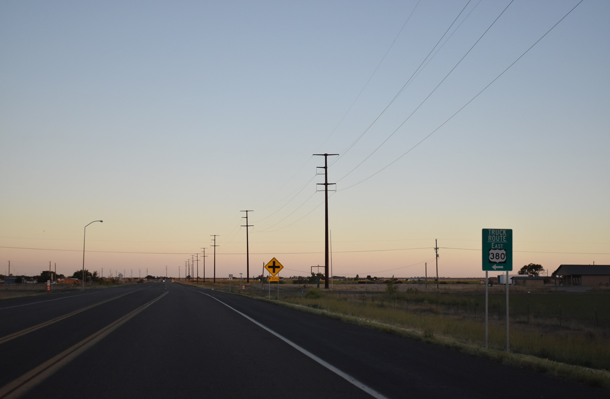
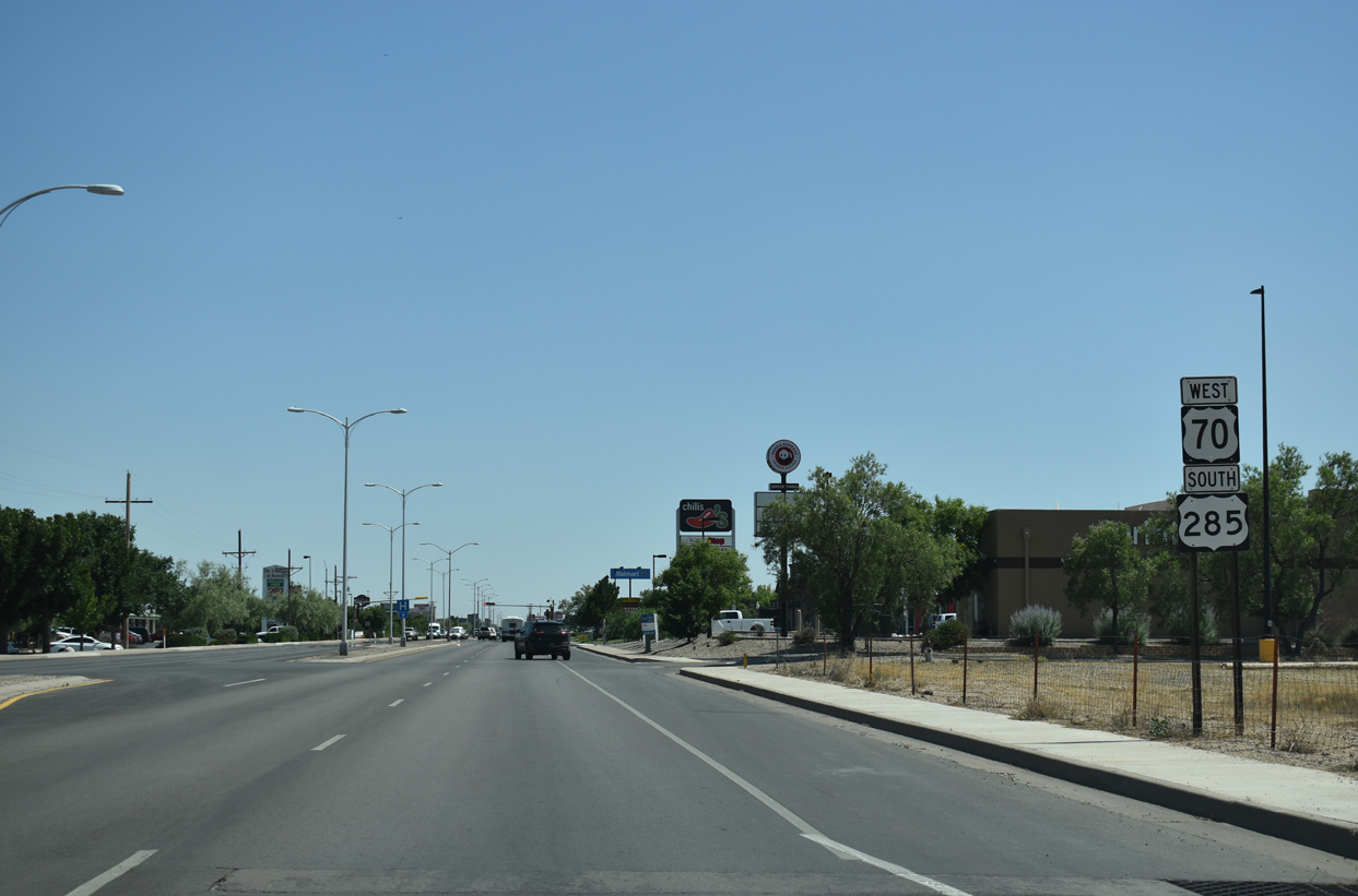
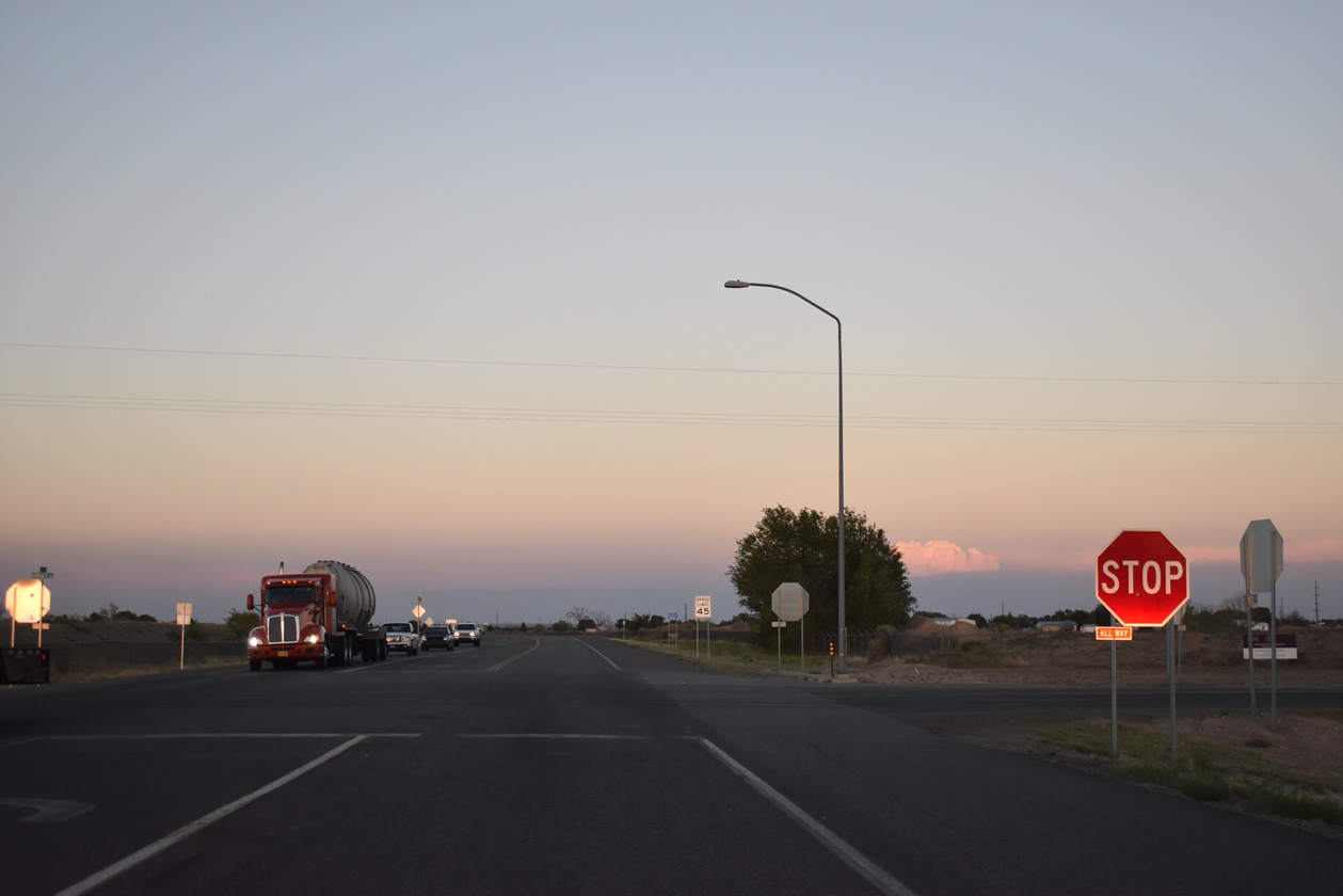
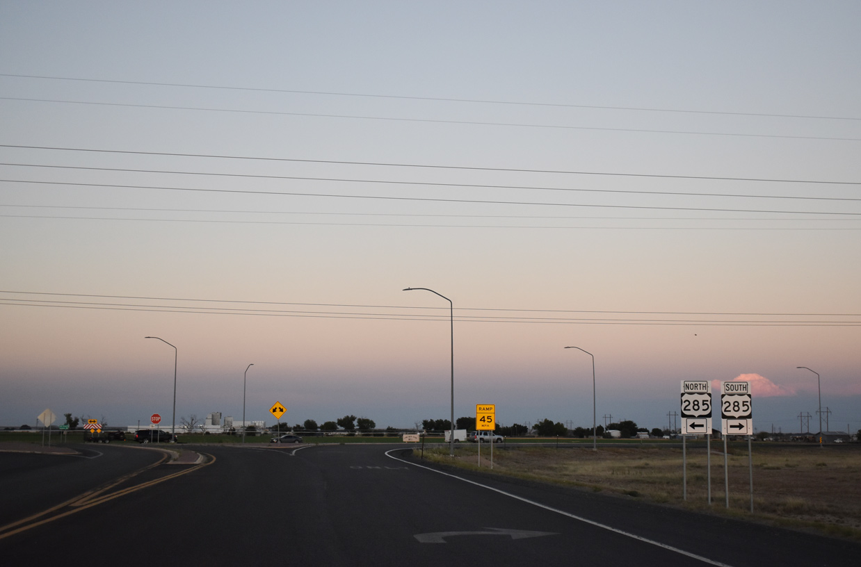
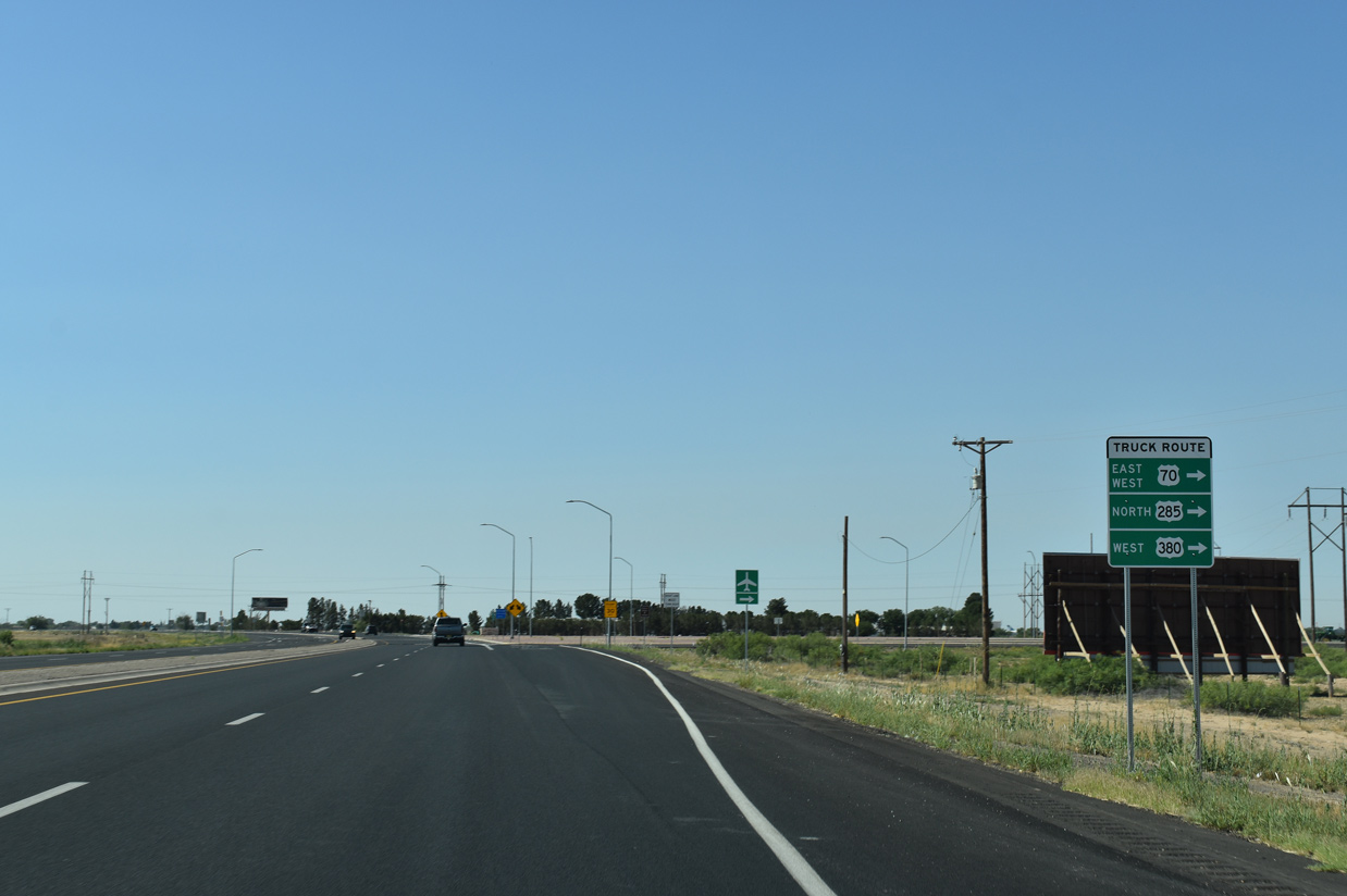
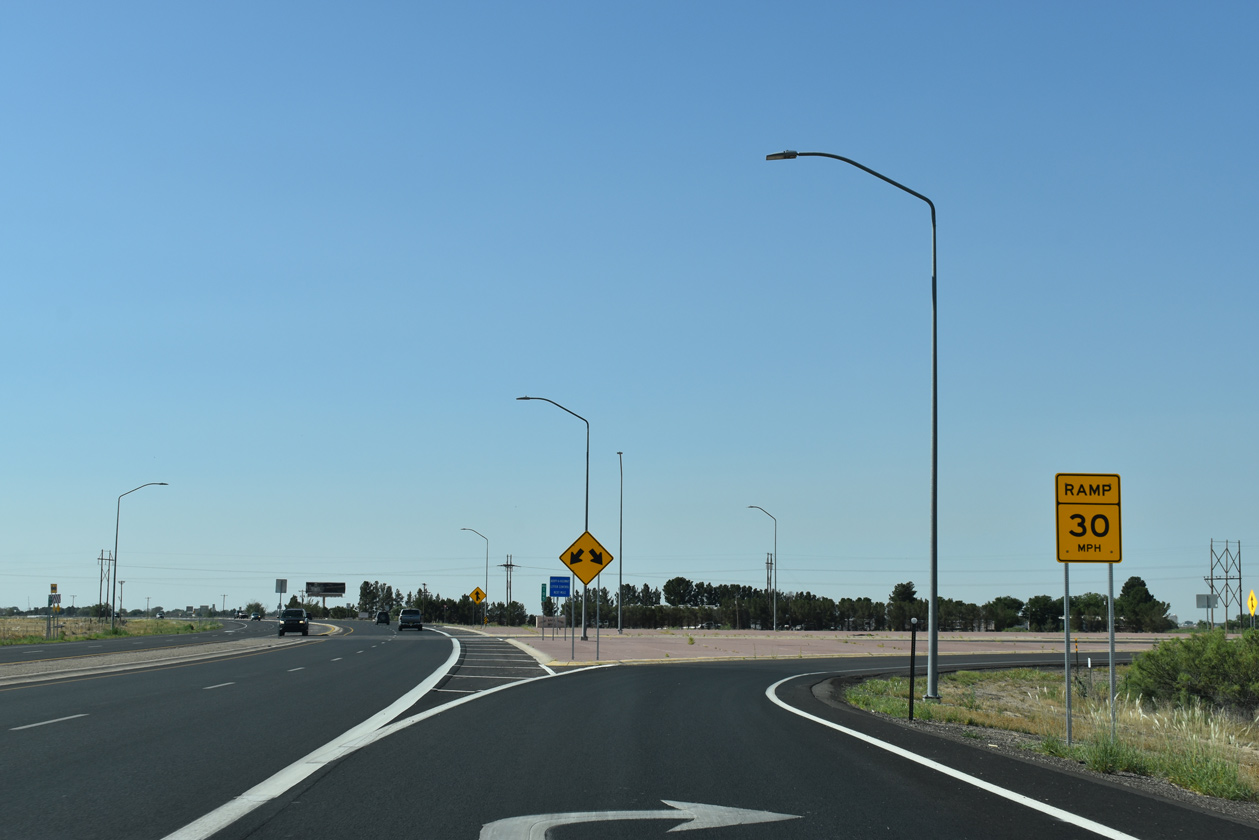
U.S. 285 meets U.S. 70 and the Roswell Relief Route in one mile at a parclo interchange.
06/21/19
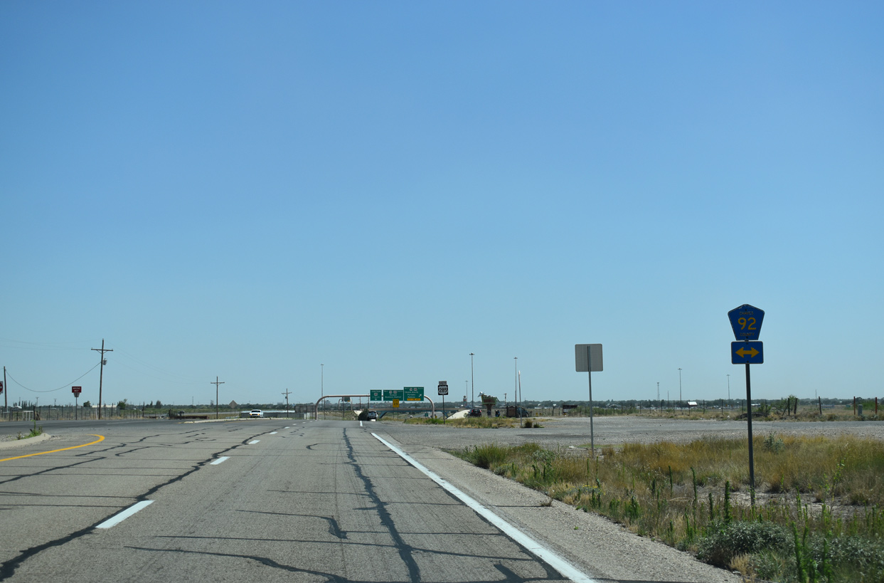
Chaves County Road 92 (Galina Road) leads west from U.S. 70 to intersect U.S. 285 just north of the Roswell Relief Route.
06/21/19
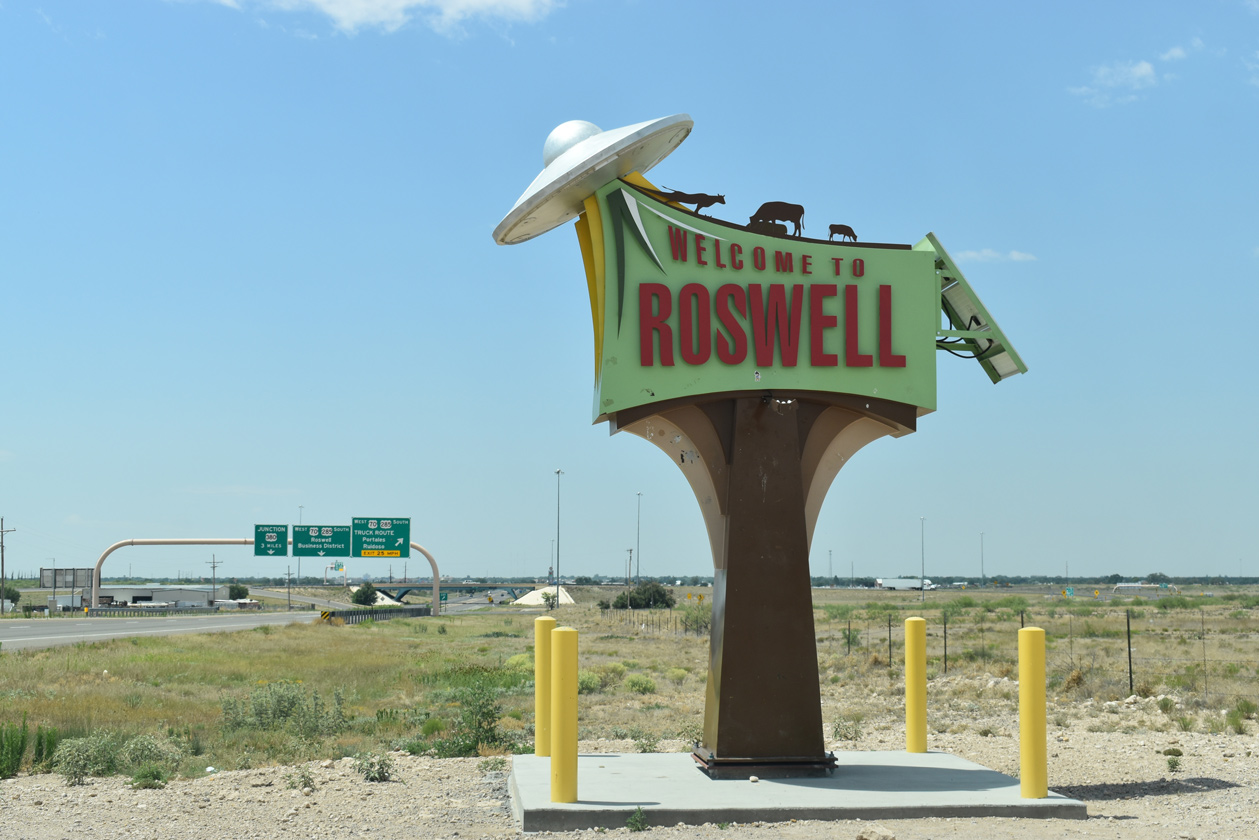
Welcome to Roswell sign posted at a wayside area preceding the exchange with U.S. 70.
06/15/19
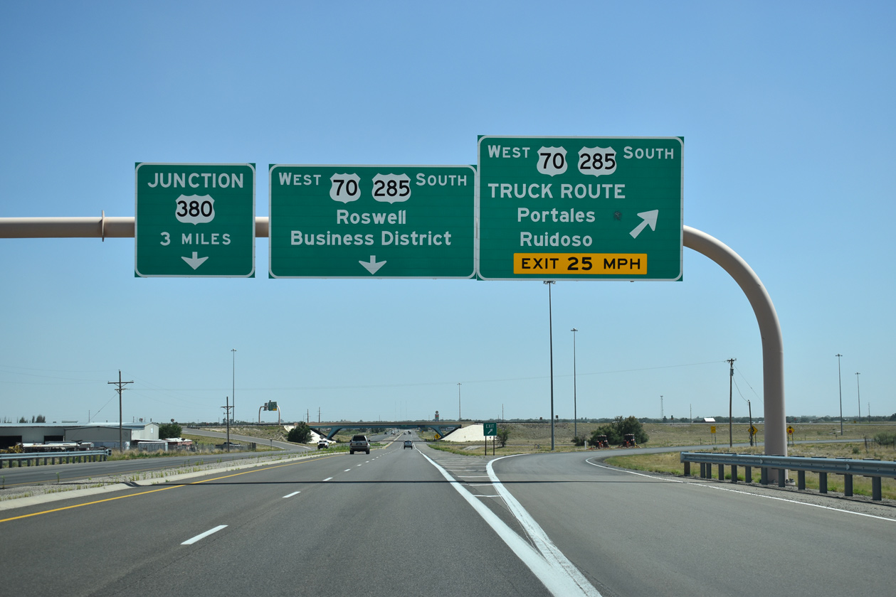
The Roswell Relief Route is signed as a truck route for U.S. 70 west and 285 south. Officially the bypass is a part of the U.S. 70/285 mainline while the former route along Main Street is locally maintained.
06/21/19
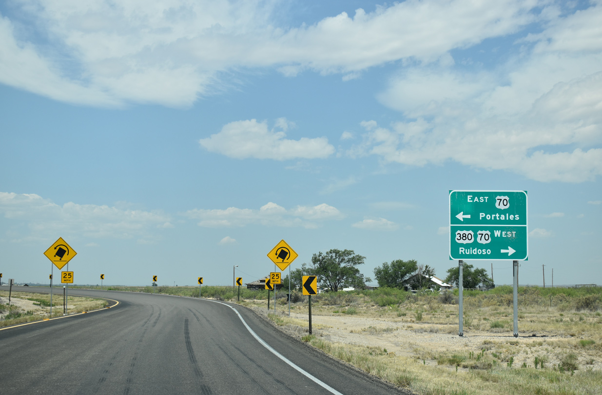
U.S. 70 travels northeast from Roswell to Portales and Clovis and west with U.S. 380 to Picacho and Hondo.
06/15/19
The Roswell Relief Route leads U.S. 285 around the west side of Roswell 15 miles between North Main Street and SE Main Street.
06/15/19
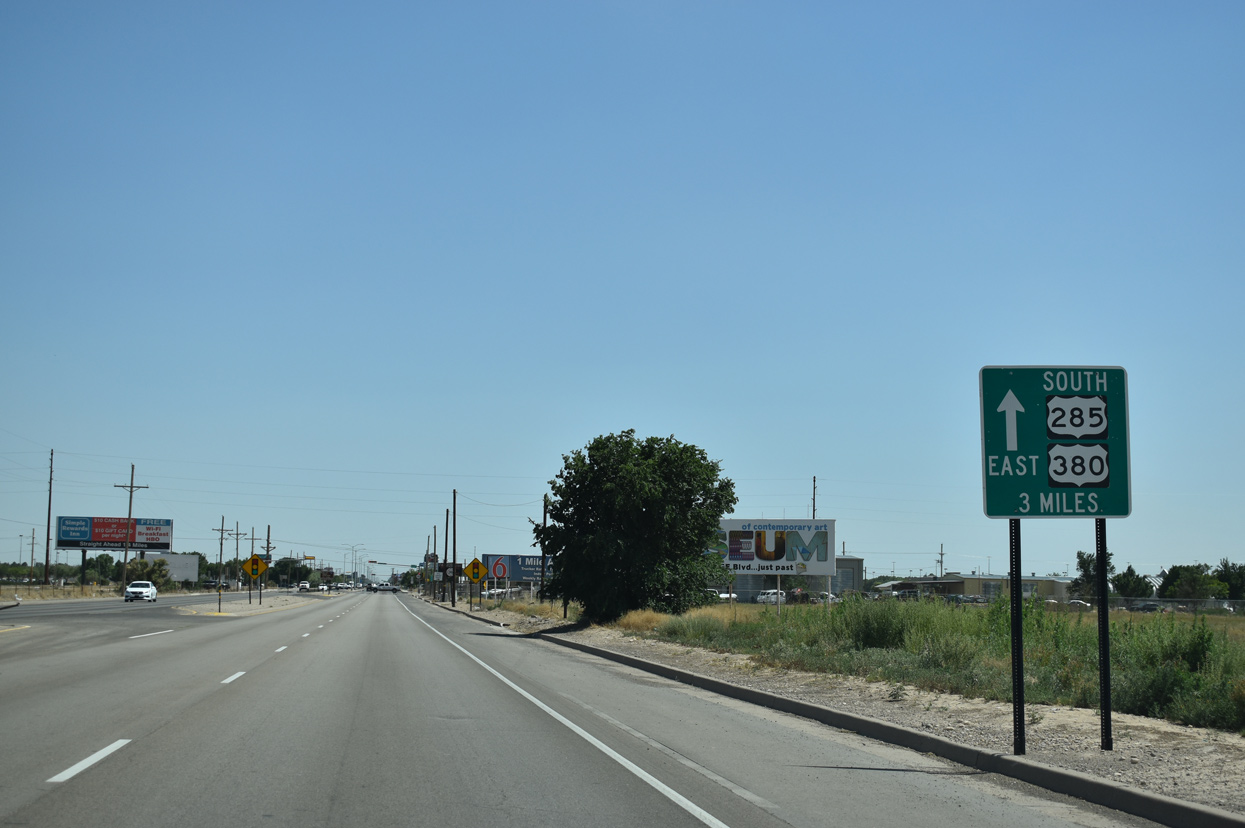
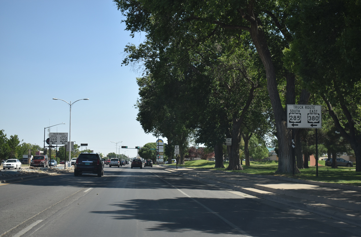
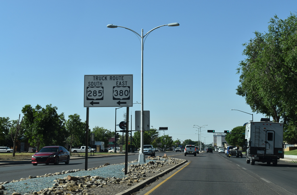
Continuing south from the split with U.S. 70 west at U.S. 380 (2nd Street), U.S. 285 (Roswell Relief Route) advances 48 miles to Artesia.
06/21/19
The Roswell Relief Route shifts eastward through an S-curve between adjacent residential streets south of U.S. 380.
06/21/19
McGaffey Street (FL-1731) comprises one of several truck routes for U.S. 380 across the city of Roswell.
06/21/19
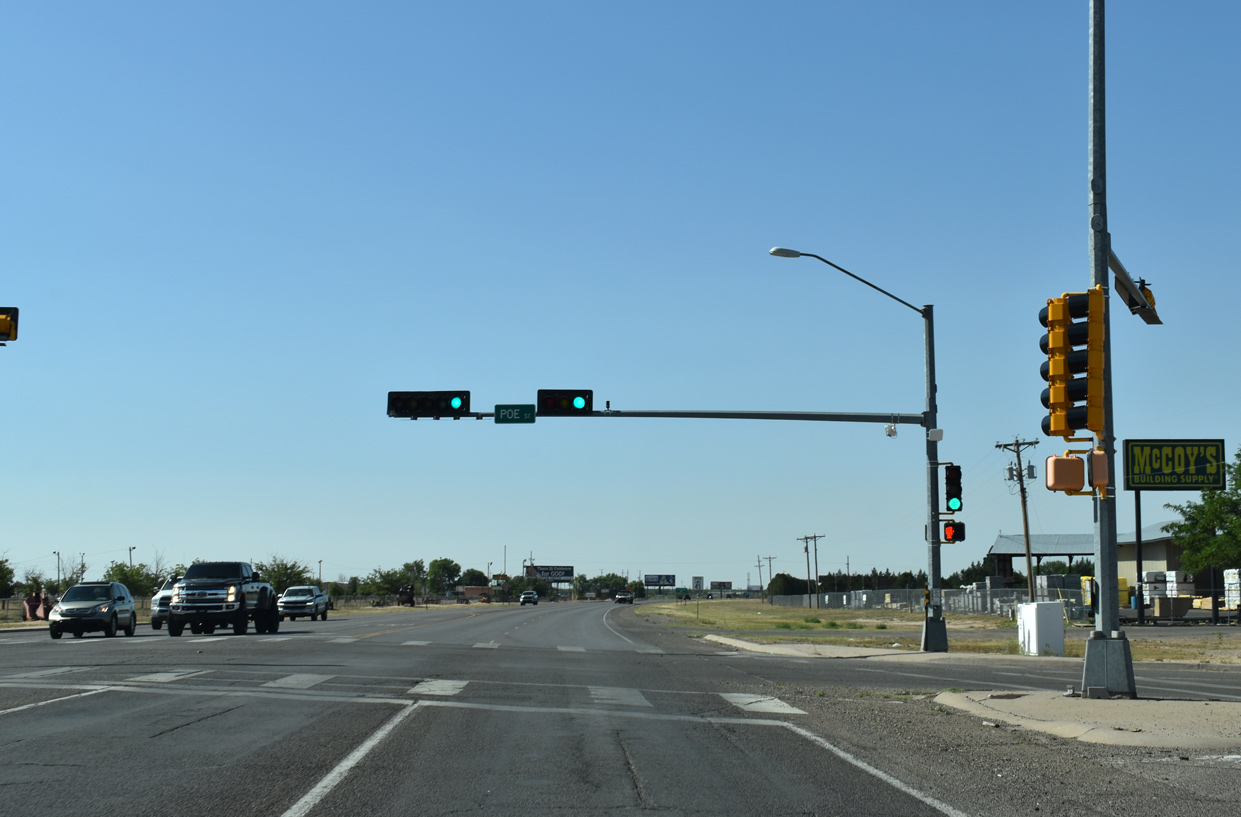
The succeeding intersection along the Roswell Relief Route south of McGaffey Street is with Poe Avenue.
06/21/19
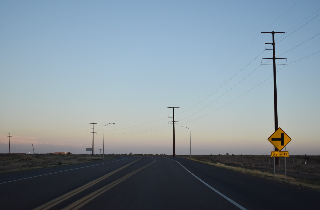
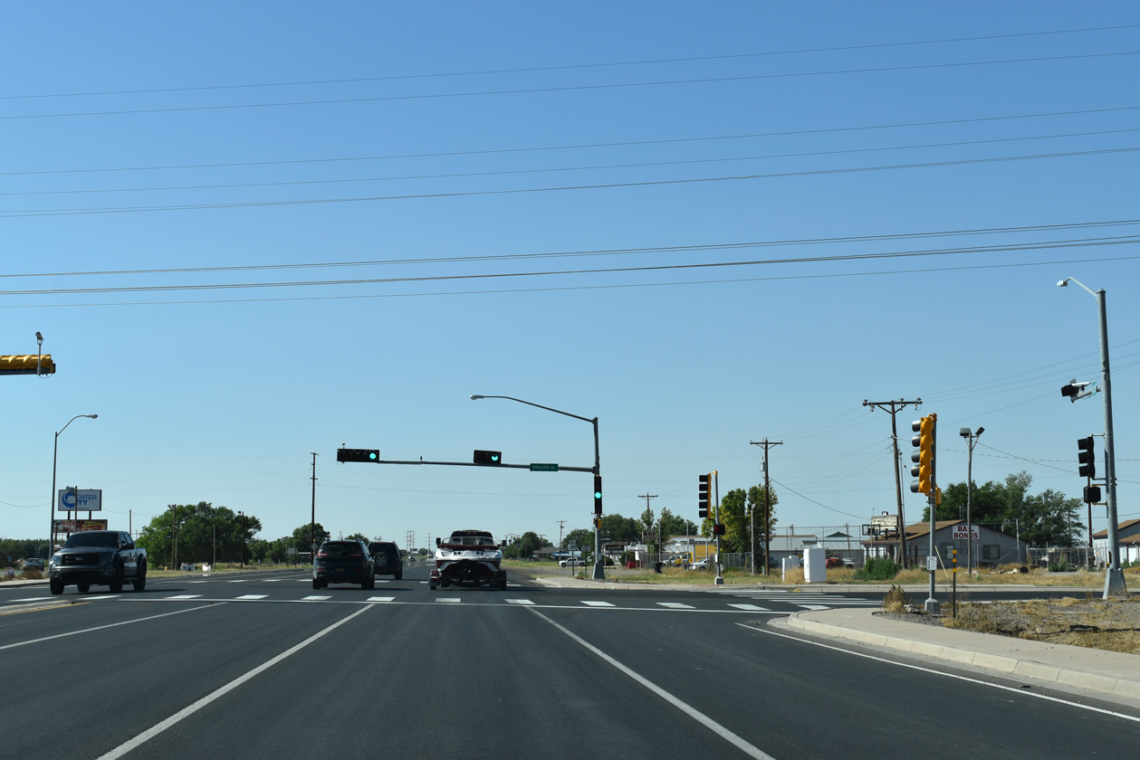
Making a gradual southeasterly turn, the Roswell Relief Route next intersects Brasher Road.
06/21/19
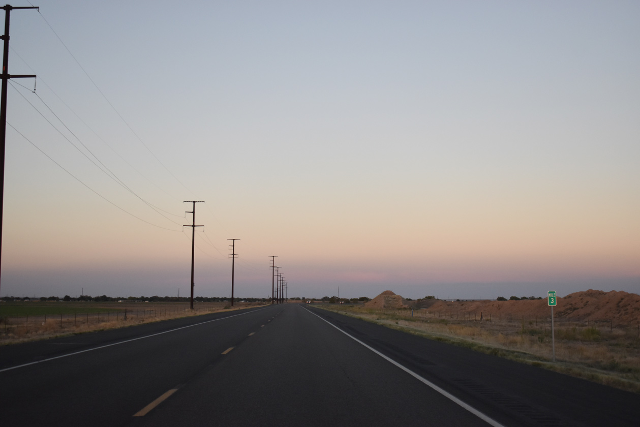
U.S. 285 (Roswell Relief Route) runs along the south side of the City of Roswell Landfill ahead of mile marker 3.
06/21/19
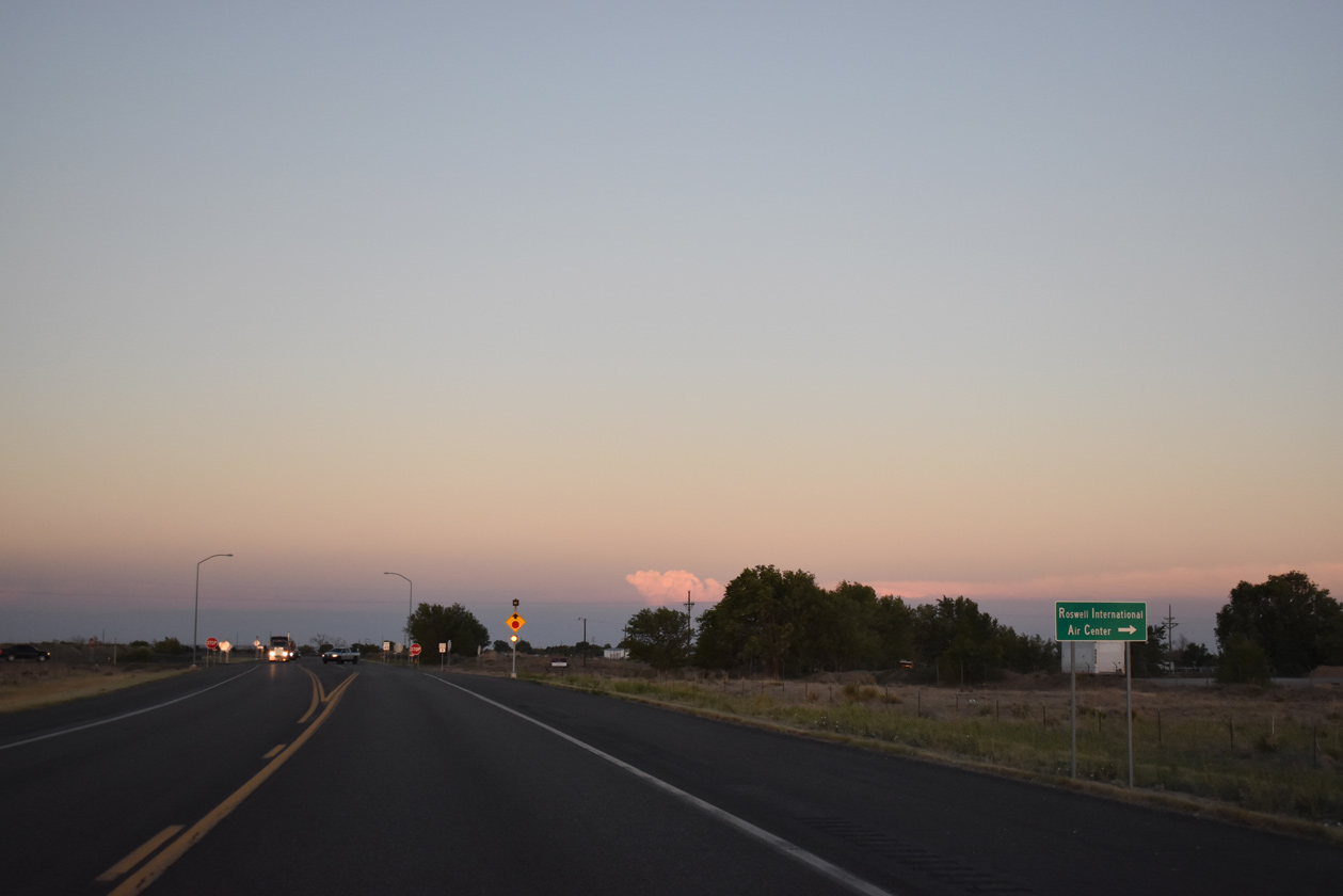
Sunset Avenue (FL 4704) provides the first of two arterial routes connecting U.S. 285 with Roswell International Air Center (ROW).
06/21/19
South Main Street (FL-4683) represents the main connection to ROW Airport from Downtown Roswell.
06/21/19
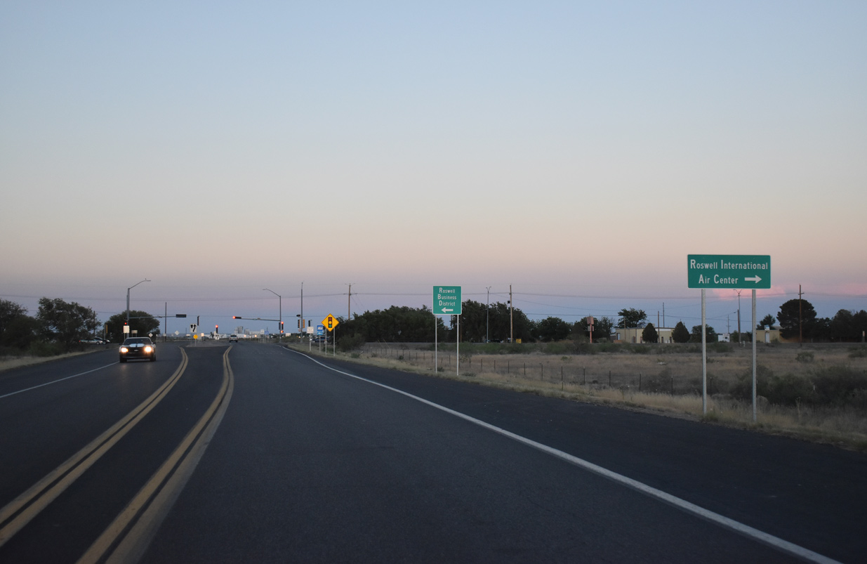
U.S. 285 heads one mile east from South Main Street to rejoin its former alignment leading away from Roswell.
06/21/19
SE Main Street constitutes an urban arterial north back into Roswell. Classified by NMDOT as FL-4685, the former alignment of U.S. 285 along Main Street travels 10.05 miles to the north end of the Roswell Relief Route.
06/21/19

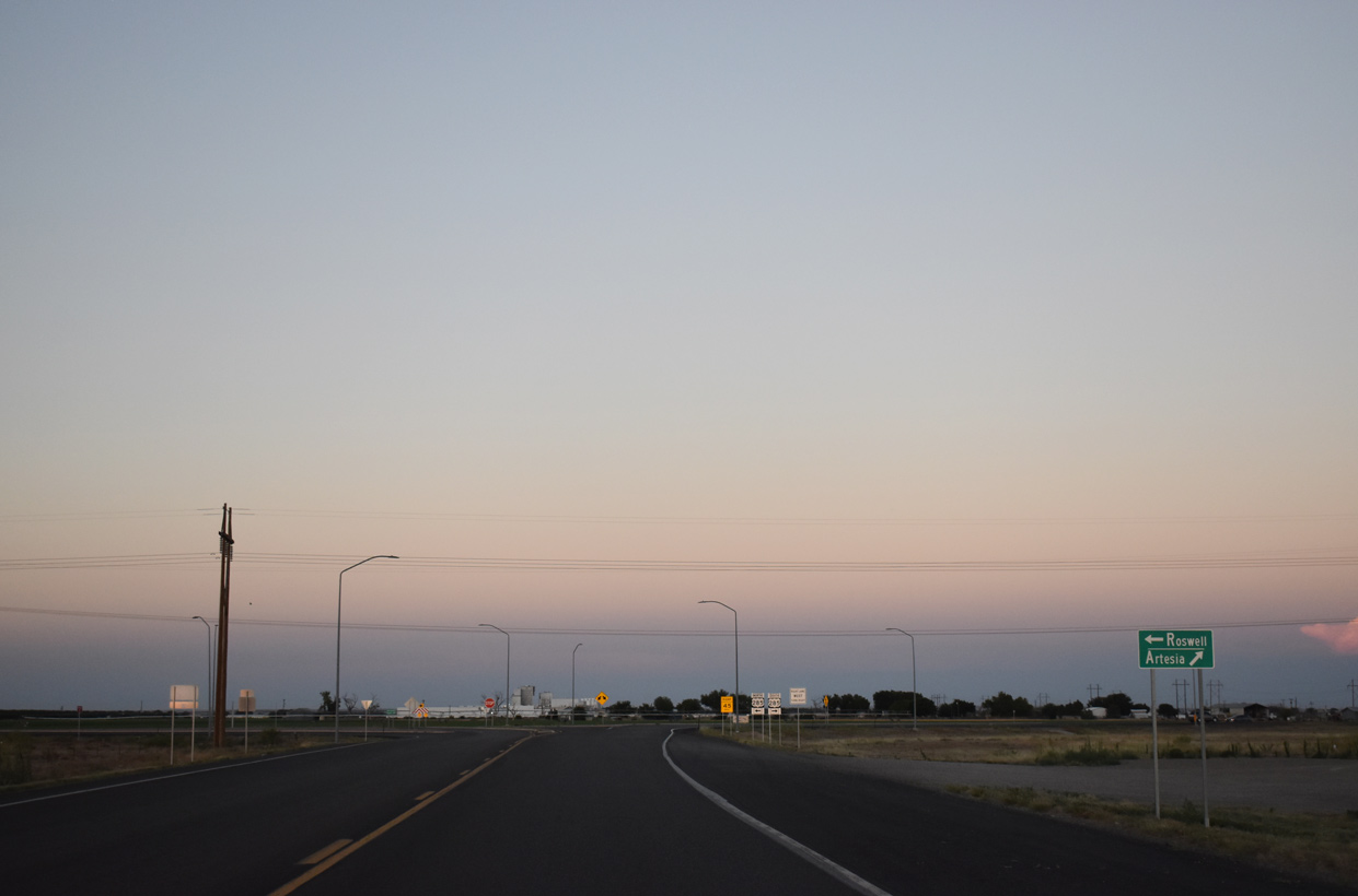
Downtown Roswell lies 4.5 miles to the north via SE and South Main Streets. Artesia is a 36 mile drive to the south along U.S. 285.
06/21/19
South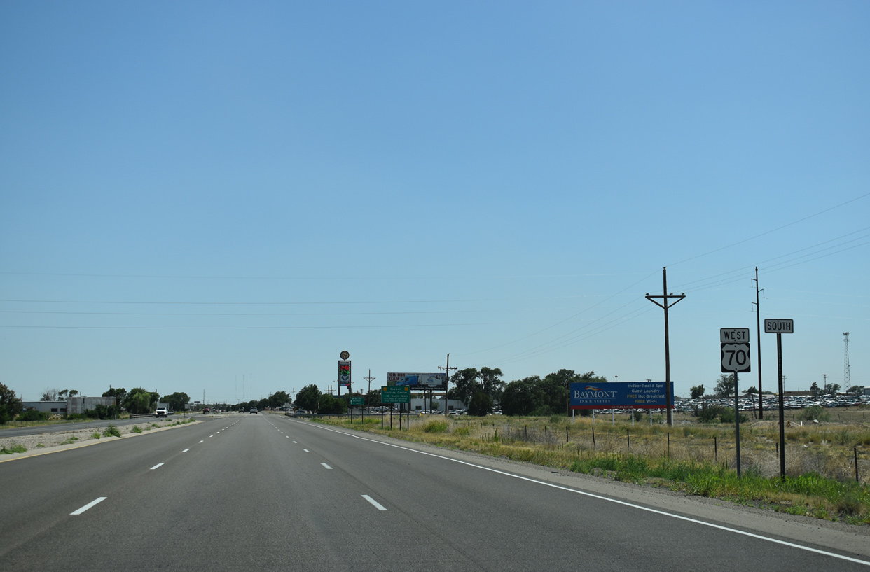
Main Street advances south from the exchange with the Roswell Relief Route (U.S. 70-285).
06/21/19
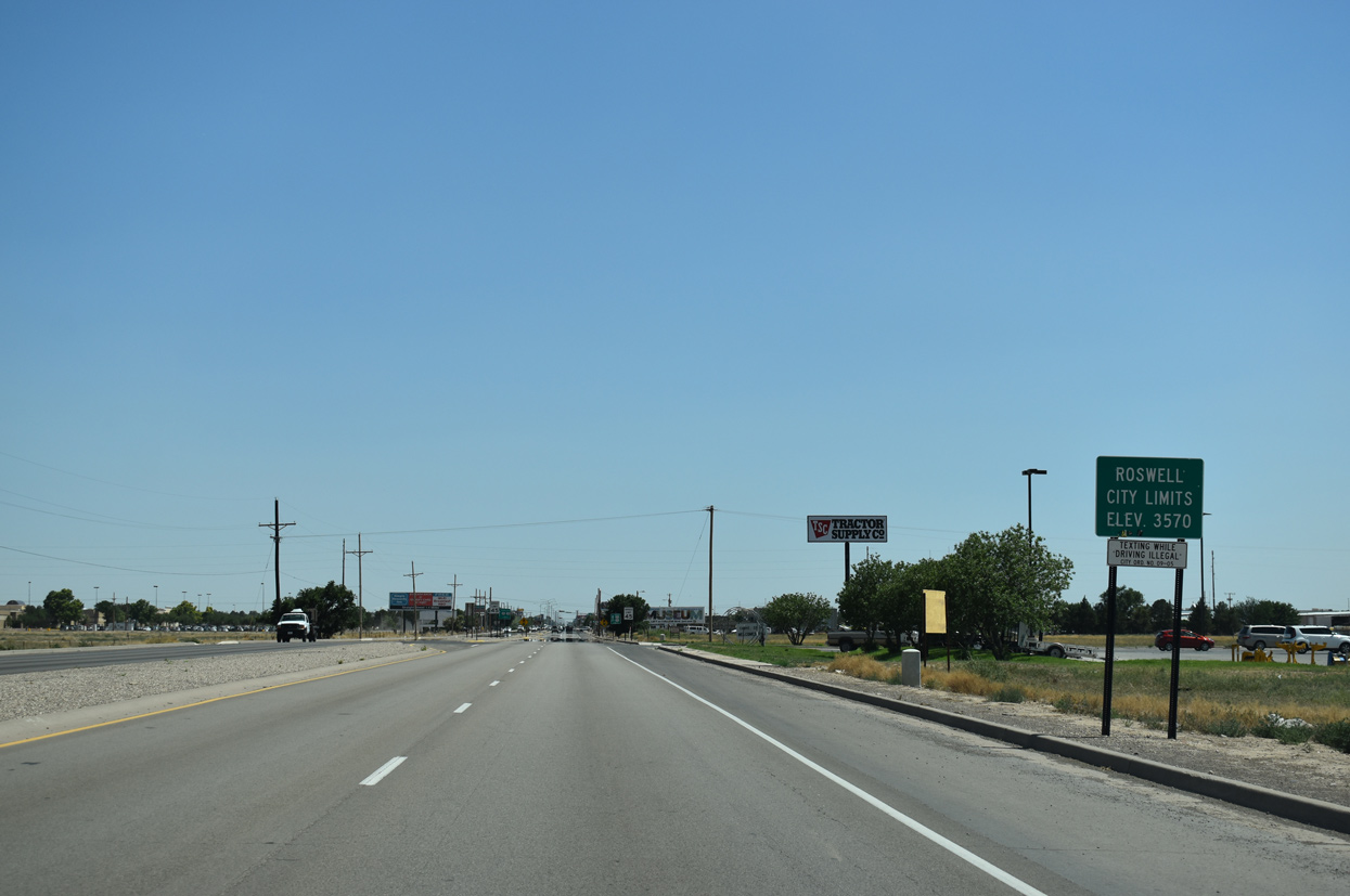
Main Street enters the Roswell city limits south of Huskey Road and transitions into a commercial arterial.
06/21/19
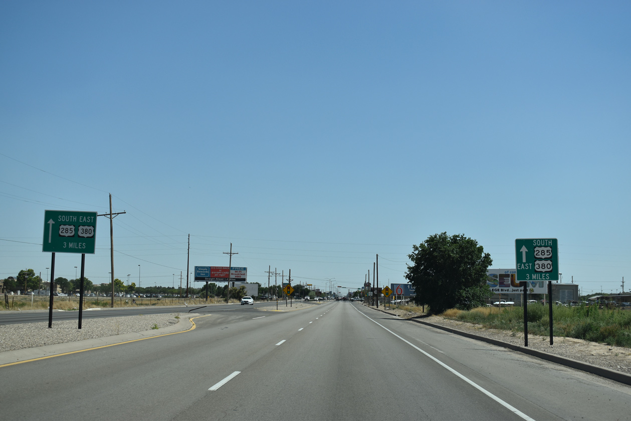
A pair of wayfinding signs reference U.S. 285 south and U.S. 380 east three miles beyond the upcoming NM 246 (Pine Lodge Road). Intersecting Main Street at that point is College Boulevard, one of the signed truck routes for both routes through Roswell.
06/21/19
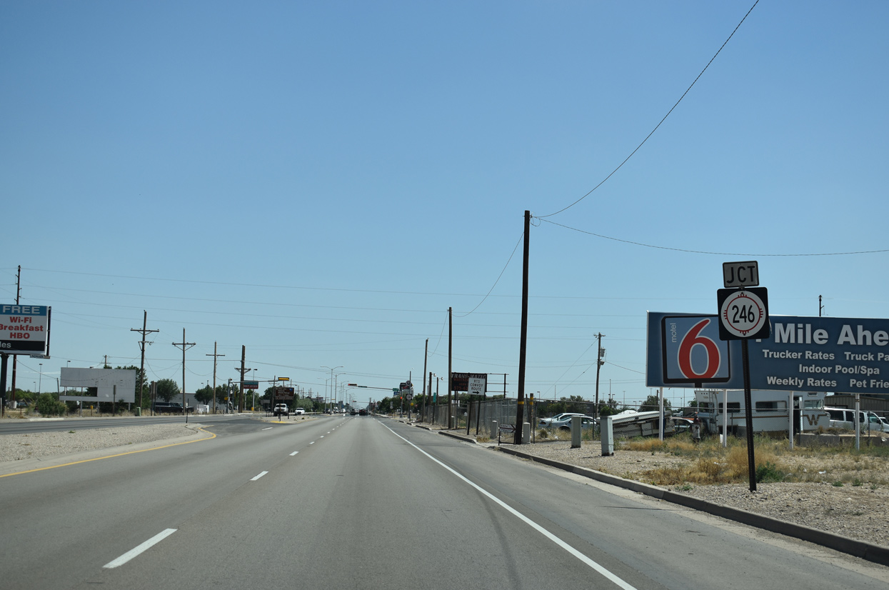
NM 246 stems west from Main Street (old U.S. 285) along Pine Ridge Road 1.7 miles to U.S. 70-285 along the Roswell Relief Route.
06/21/19
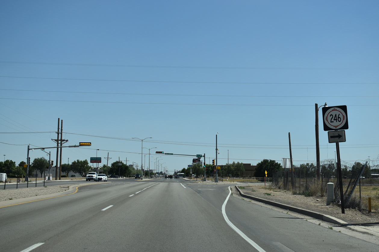
State Road 246 travels 82.46 miles overall from Roswell to Capitan via the Sacramento Mountains and Lincoln National Forest.
06/21/19
Confirming markers for U.S. 70 west/285 south posted after NM 246 (Pine Lodge Road).
06/21/19
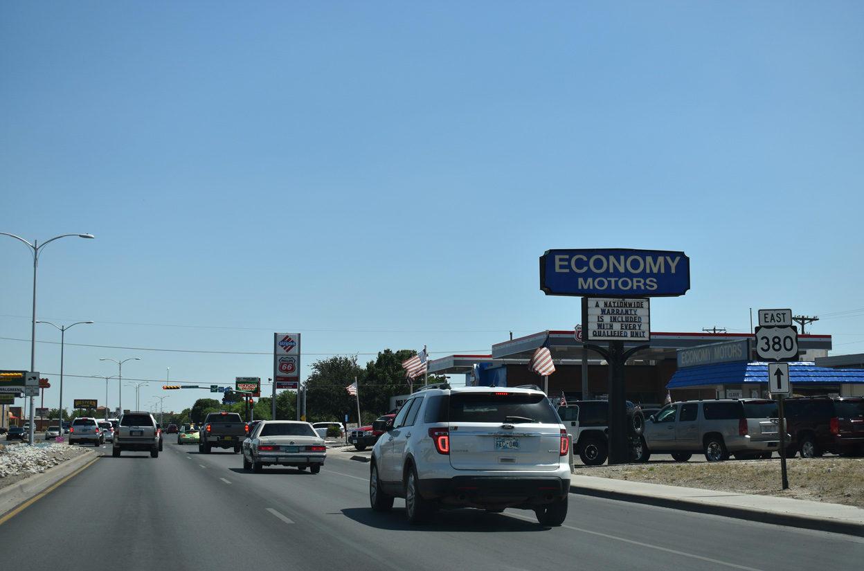
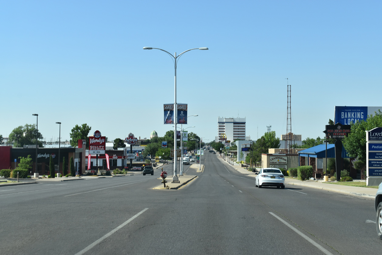
Big box stores, hotels, restaurants and other commercial establishments line Main Street (old U.S. 285) south from NM 246 to the New Mexico Military Institute (NMMI) at 19th Street.
06/21/19

A pair of remaining U.S. 70/285 shields precede the Main Street intersection with Wilshire Boulevard.
06/21/19
06/15/19
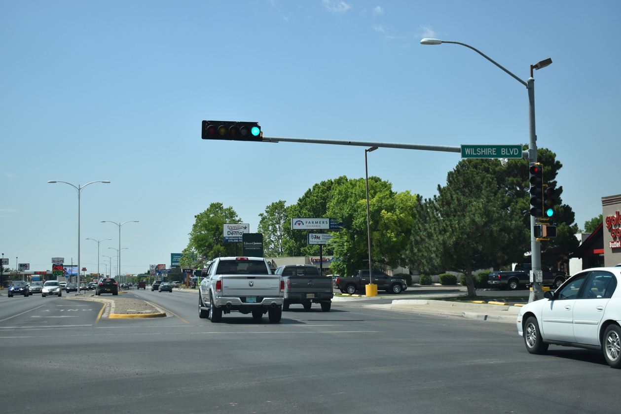
Wilshire Boulevard comprises a local route looping south from Mescalero Road to Main Street and west to parallel Pennsylvania Avenue.
06/15/19
U.S. 380 trailblazer posted ahead of Country Club Road.
06/21/19
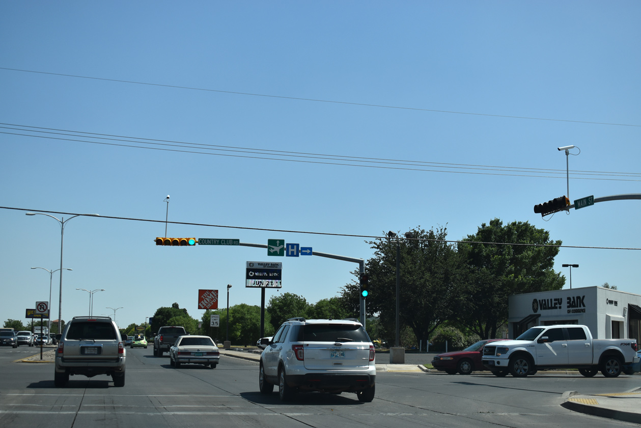
Country Club Road (FL-4712) constitutes a minor arterial west to pecan orchards by Sycamore Avenue and east to Urton Road by Roswell Country Club.
06/21/19
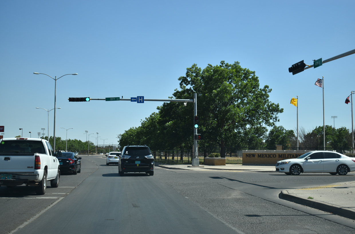
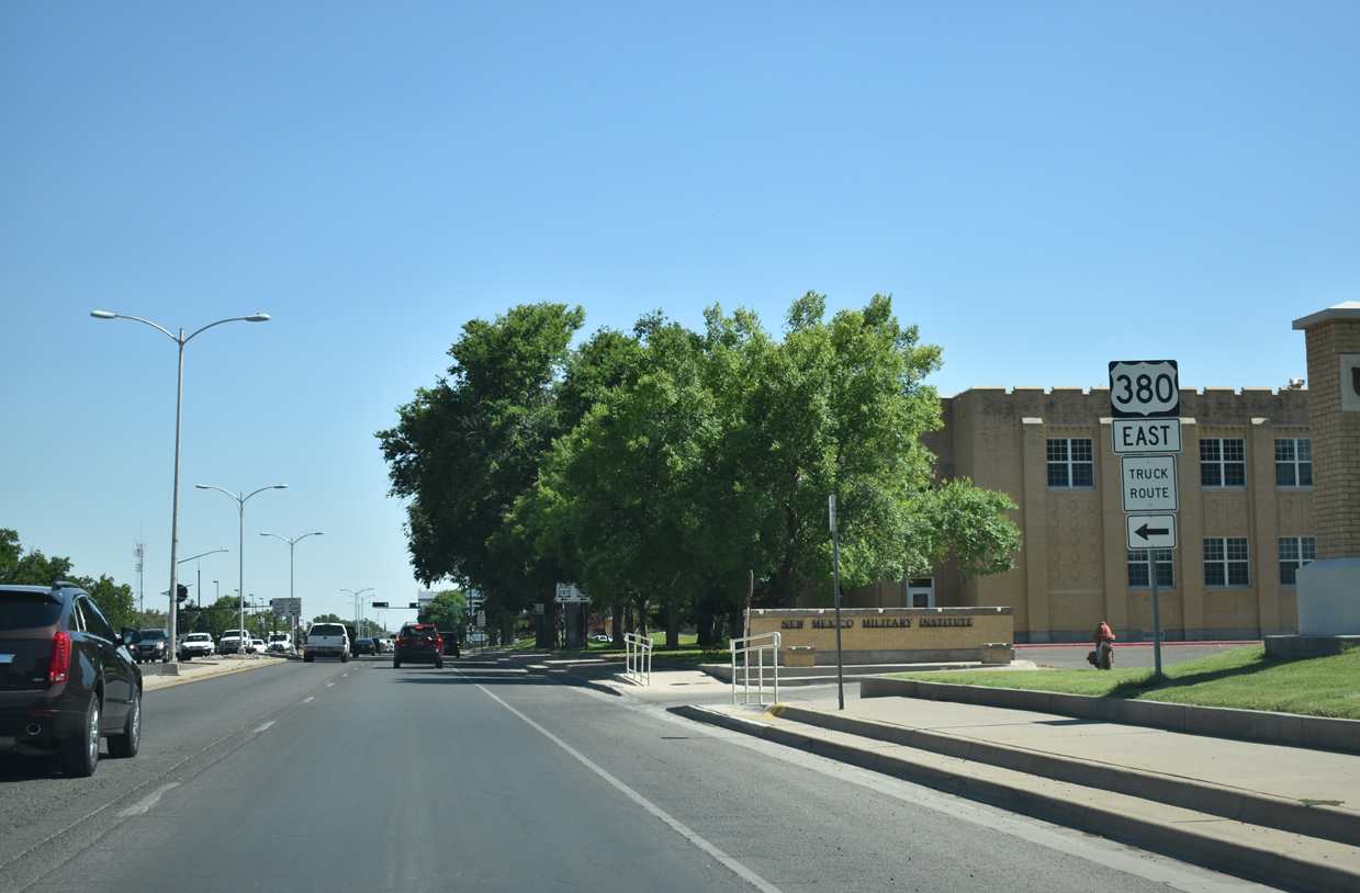
Main Street south at 19th Street and NMMI.
06/21/19
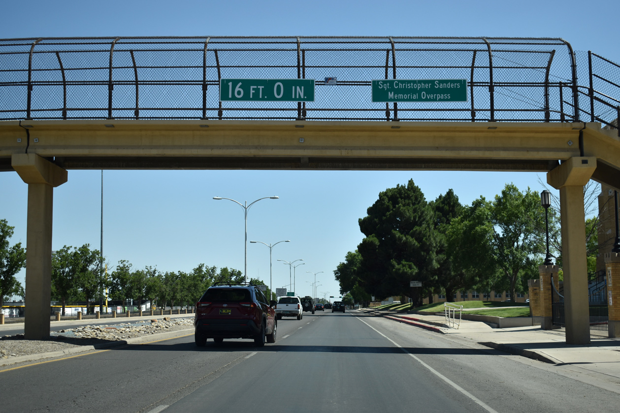
The Sgt. Christopher Sanders Memorial Overpass spans Main Street (old U.S. 285) at NMMI. The 47 foot long pedestrian bridge was built in 1966.1
06/21/19
College Boulevard (FL-5706) forms part of a truck route for U.S. 380 east and 285 south one mile to Atikinson Avenue. Atkinson Avenue south to U.S. 380 (East 2nd Street) is former NM 256.
06/21/19
06/22/19
Reassurance markers for U.S. 70 west and 285 south at Main and 13th Streets. NM SHTD date stamps on the wooded shields are from October 1991
06/21/19
Main Street progresses south from 19th Street toward Downtown Roswell.
06/22/19
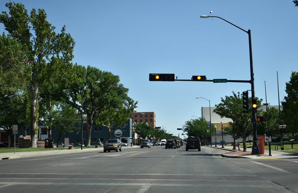
Main Street intersects 5th Street at the Roswell Visitors Center and the Chaves County Courthouse.
06/21/19
Main Street south at 4th Street by Pioneer Plaza in Downtown Roswell.
06/21/19
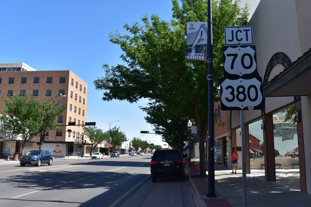
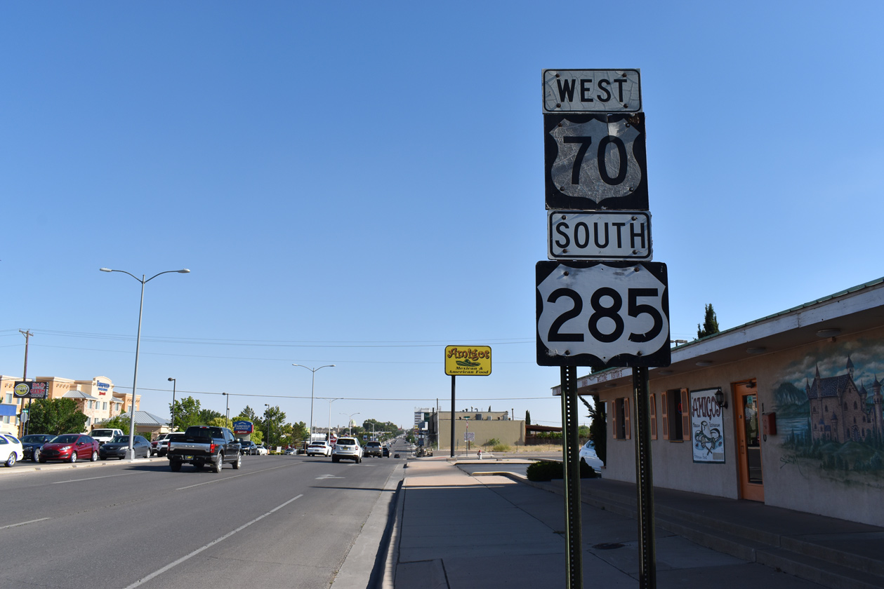
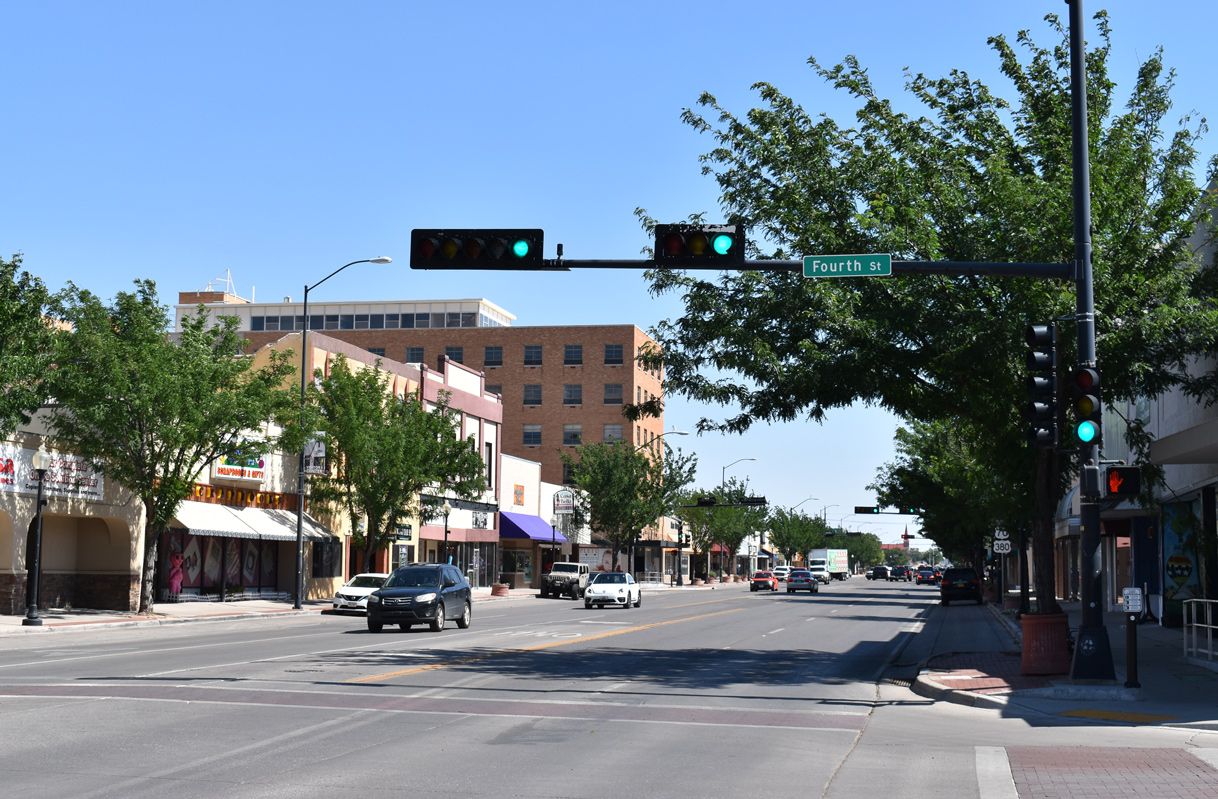
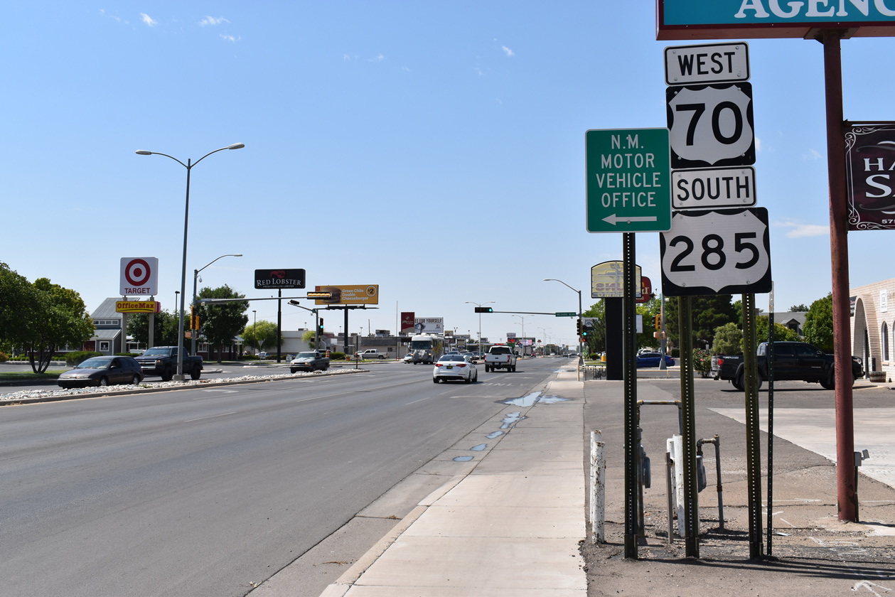
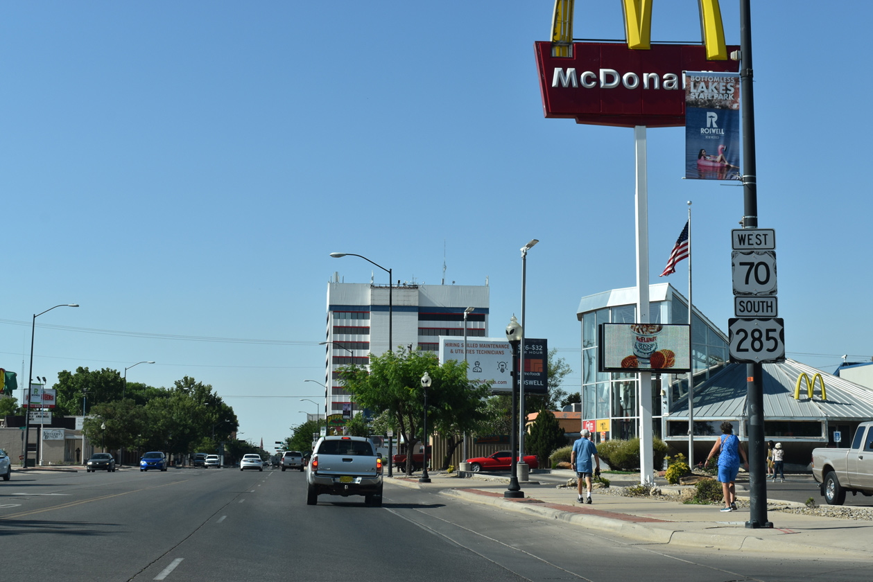
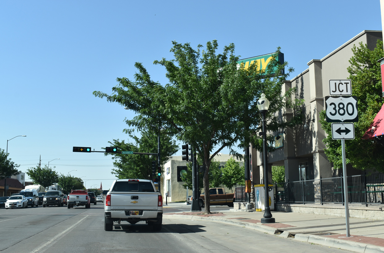
One block ahead of U.S. 380 on Main Street southbound. U.S. 70 formerly split with U.S. 285 south at 2nd Street.
06/21/19
U.S. 380 follows 2nd Street across the city of Roswell en route to Hondo and Caprock.
06/21/19
06/22/19
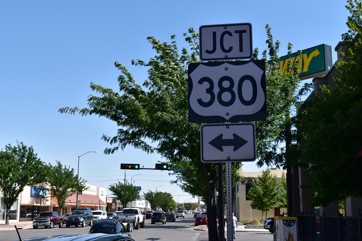
A trailblazer takes the place of a confirming marker for U.S. 285 south by the International UFO Museum and Research Center beyond U.S. 380 (2nd Street).
06/21/19
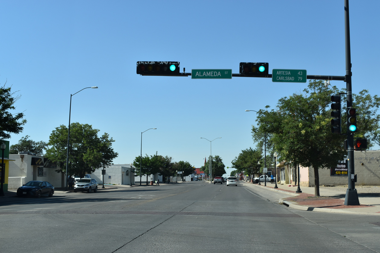
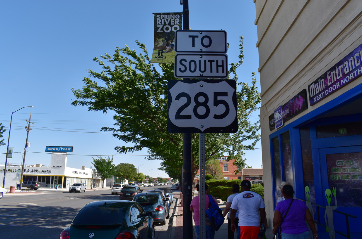
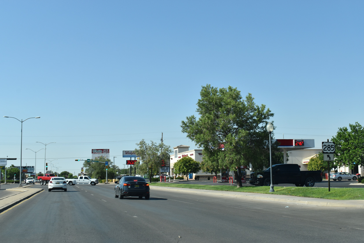
A small distance sign references the U.S. 285 destinations south of Roswell along Main Street at Alameda Street.
06/22/19
U.S. 285 reassurance marker at Main and Albuquerque Streets.
06/22/19
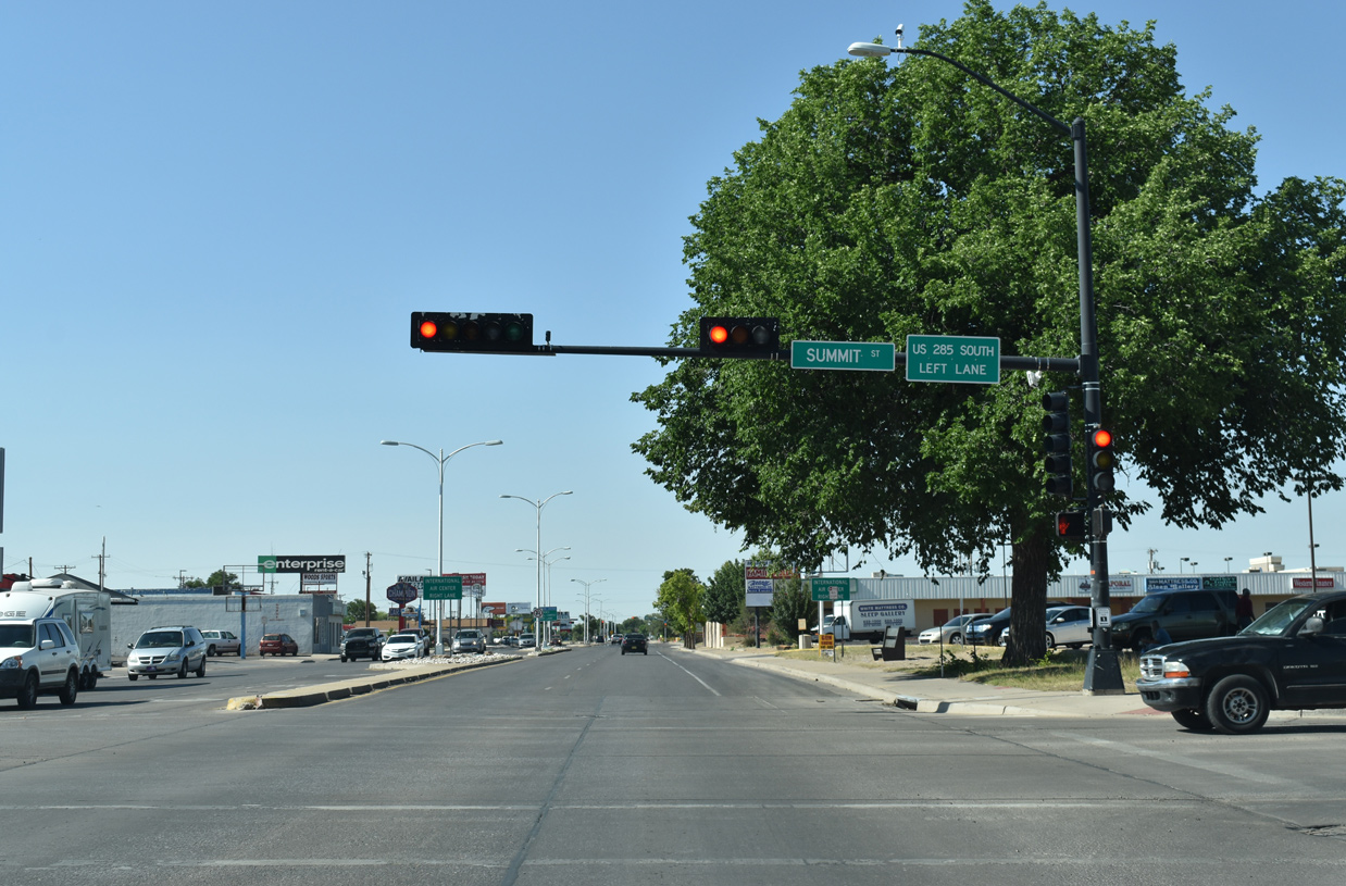
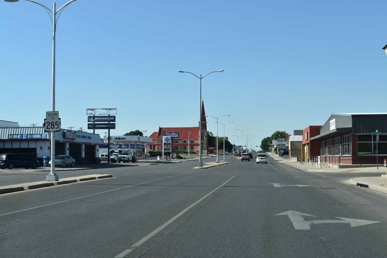
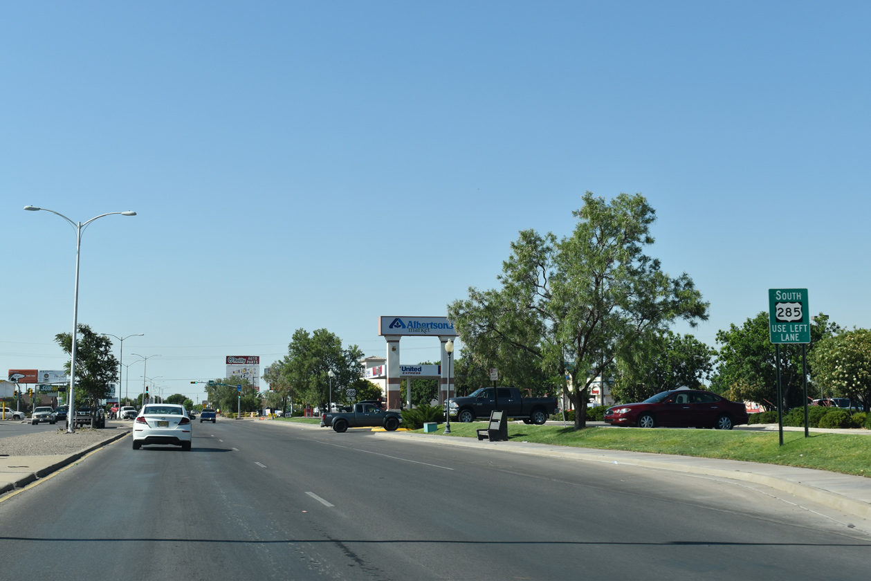
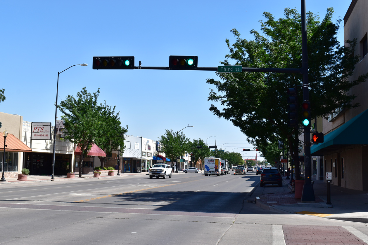
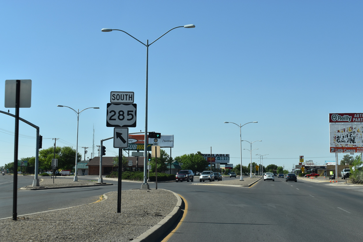
U.S. 285 separated with Main Street two blocks south of Summit Street.
06/22/19
Main Street (FL-4683) extends 4.04 miles south from old U.S. 285 (SE Main Street) at McGaffey Street toward Roswell International Air Center (ROW). SE Main Street (FL-4685) continues old U.S. 285 back to the Roswell Relief Route.
06/22/19

This U.S. 285 reassurance marker stands beyond the split with South Main Street at Forest Street east.
06/22/19
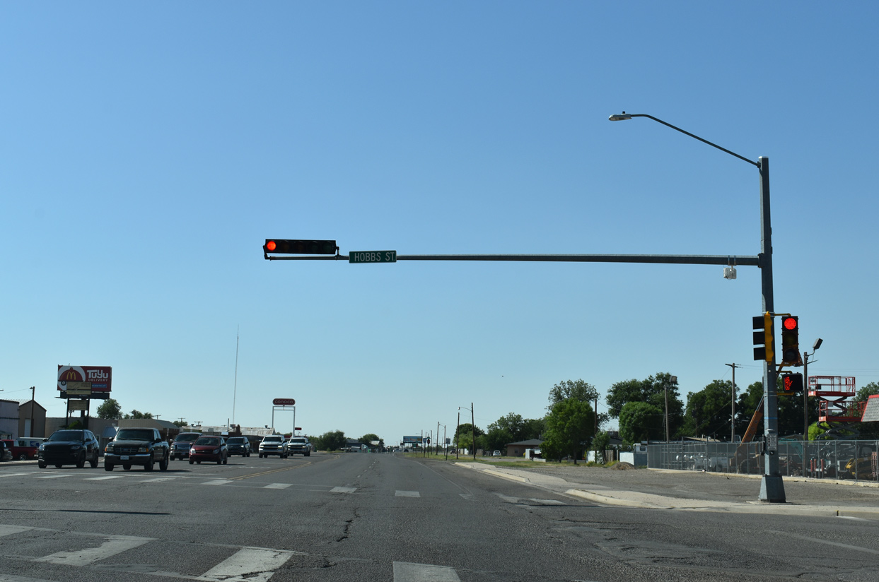
SE Main Street intersects Hobbs Street (FL-5710) at the ensuing southbound traffic light in Roswell.
06/22/19
Poe Street (FL-5705) follows along a minor arterial linking SE Main Street with NM 256 (Old Dexter Highway) to the east.
06/22/19
Brasher Road (FL-4692) runs across the south side of Roswell east to NM 256 at NM 254.
06/22/19
SE Main Street (old U.S. 285) leaves Roswell south of Brasher Road and this reassurance marker.
06/22/19
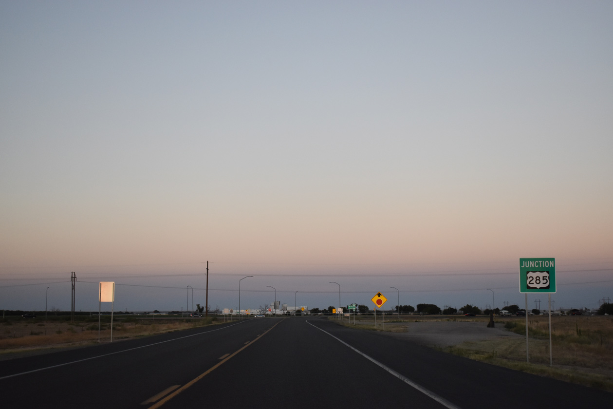
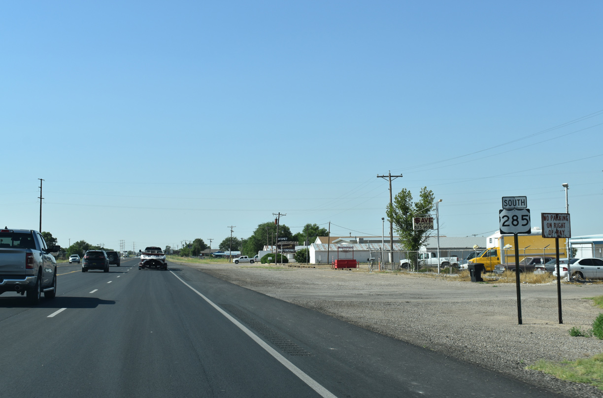
U.S. 285 overtakes SE Main Street from the south end of the Roswell Relief Route en route to Artesia.
06/22/19
Ramps connect SE Main Street with U.S. 285 north and from U.S. 285 south on the Roswell Relief Route.
06/22/19
References:
- PEDESTRIAN WALKWAY over FL 4685, Chaves County, New Mexico. http://bridgereports.com/1691900 BridgeReports.com
Photo Credits:
- Alex Nitzman: 06/15/19, 06/21/19, 06/22/19
Connect with:
Page Updated Friday June 28, 2019.