
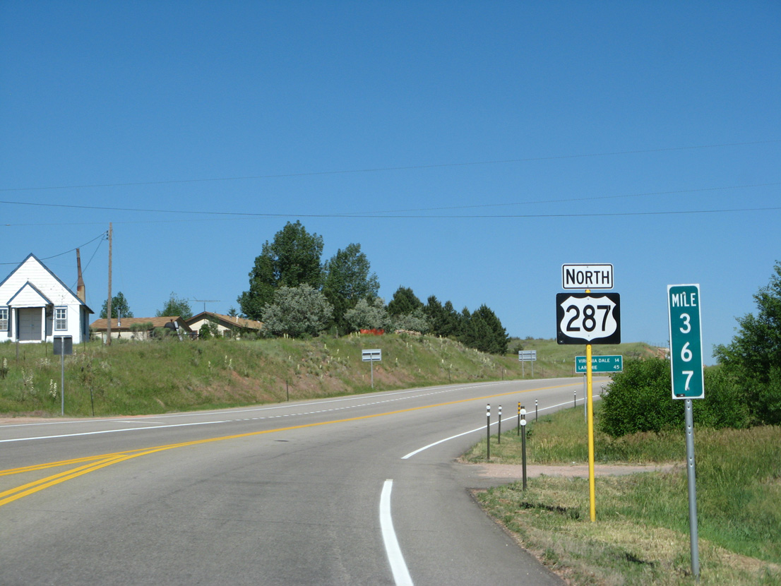
U.S. 287 North - Fort Collins to Wyoming
 North
North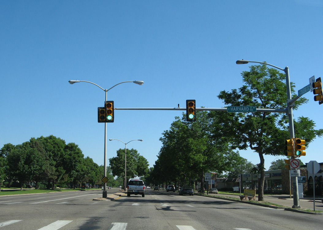
06/30/08
06/30/08
06/30/08
06/30/08
06/30/08
06/30/08
06/30/08
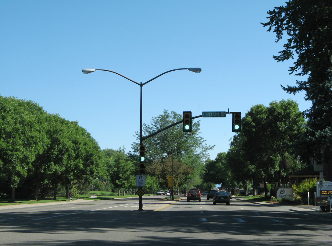
Pitkin Street heads west onto the campus of Colorado State University.
06/30/08
06/30/08
06/30/08
06/30/08
06/30/08
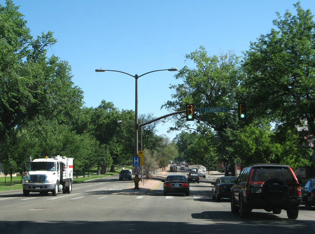
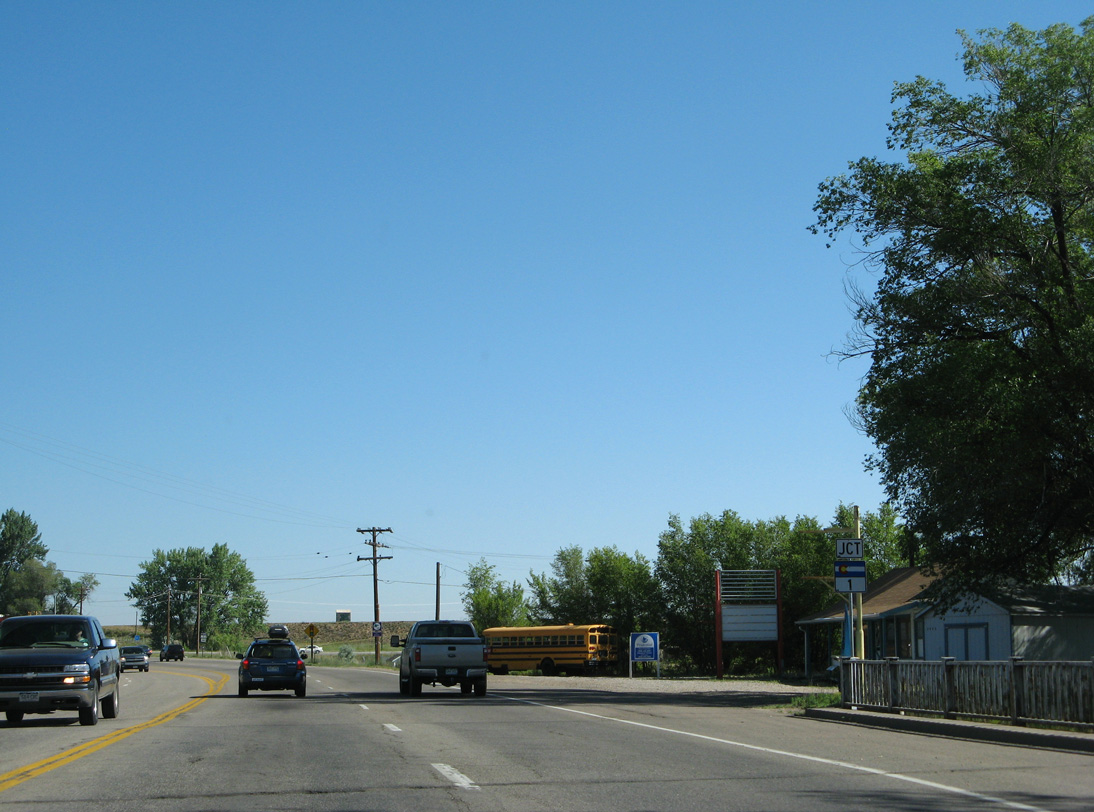
Mulberry Street is part of SH 14 from Riverside Avenue in Fort Collins east to Interstate 25.
06/30/08
06/30/08
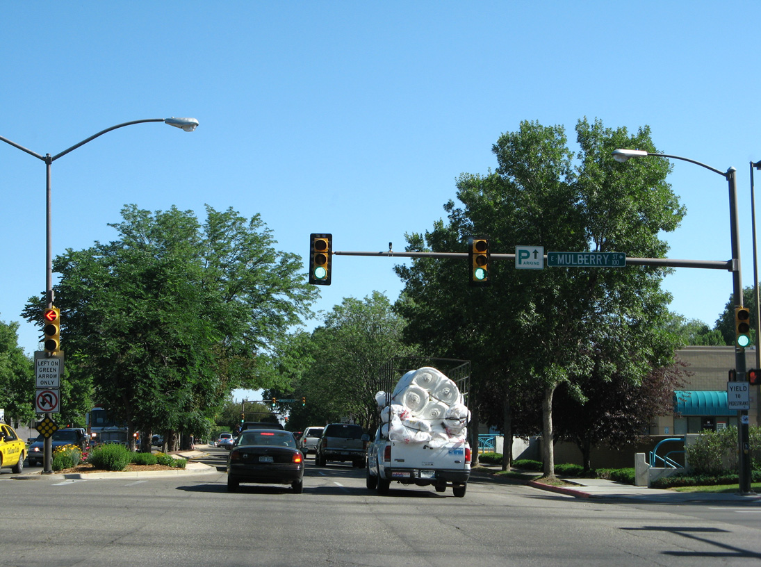
Mulberry Street extends 0.71 miles west from SH 14 to College Avenue en route to City Park.
06/30/08
06/30/08
06/30/08
06/30/08
06/30/08
06/30/08
06/30/08
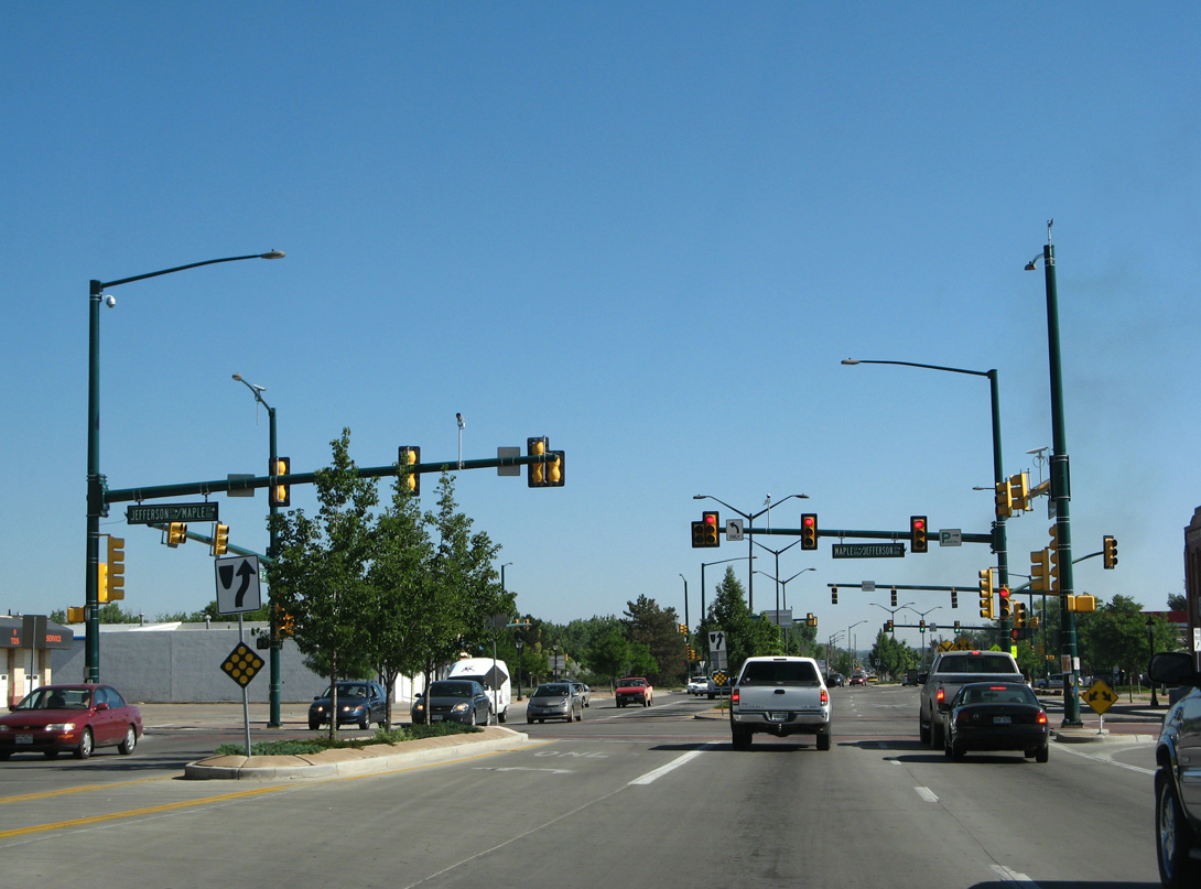
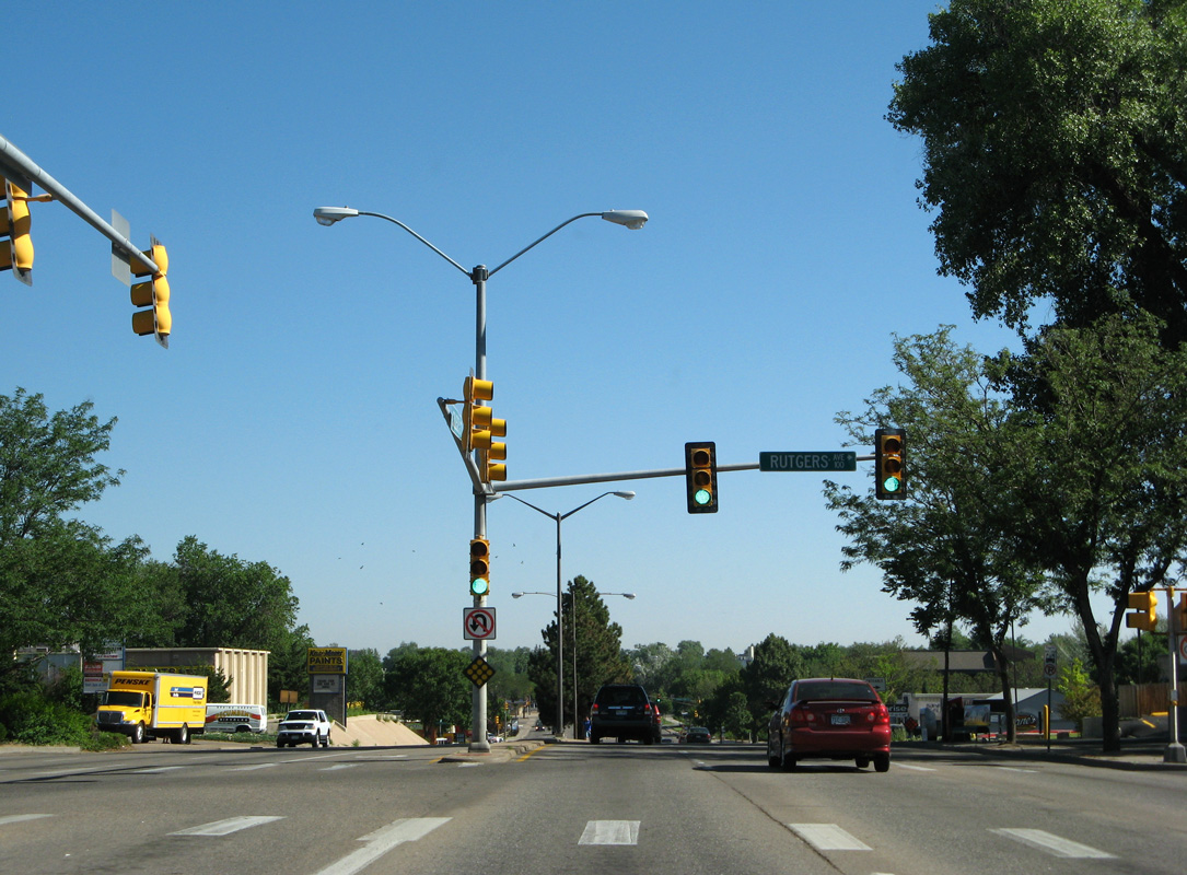
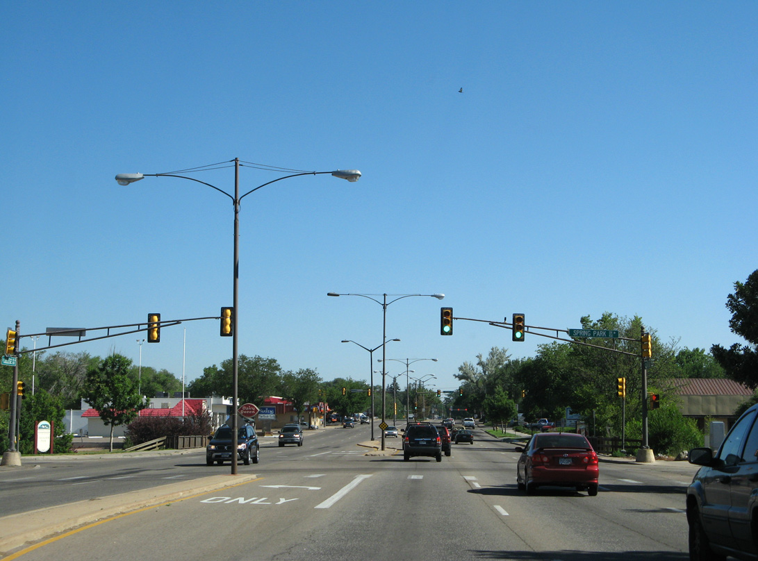
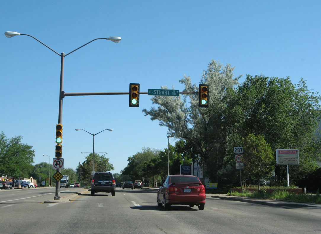
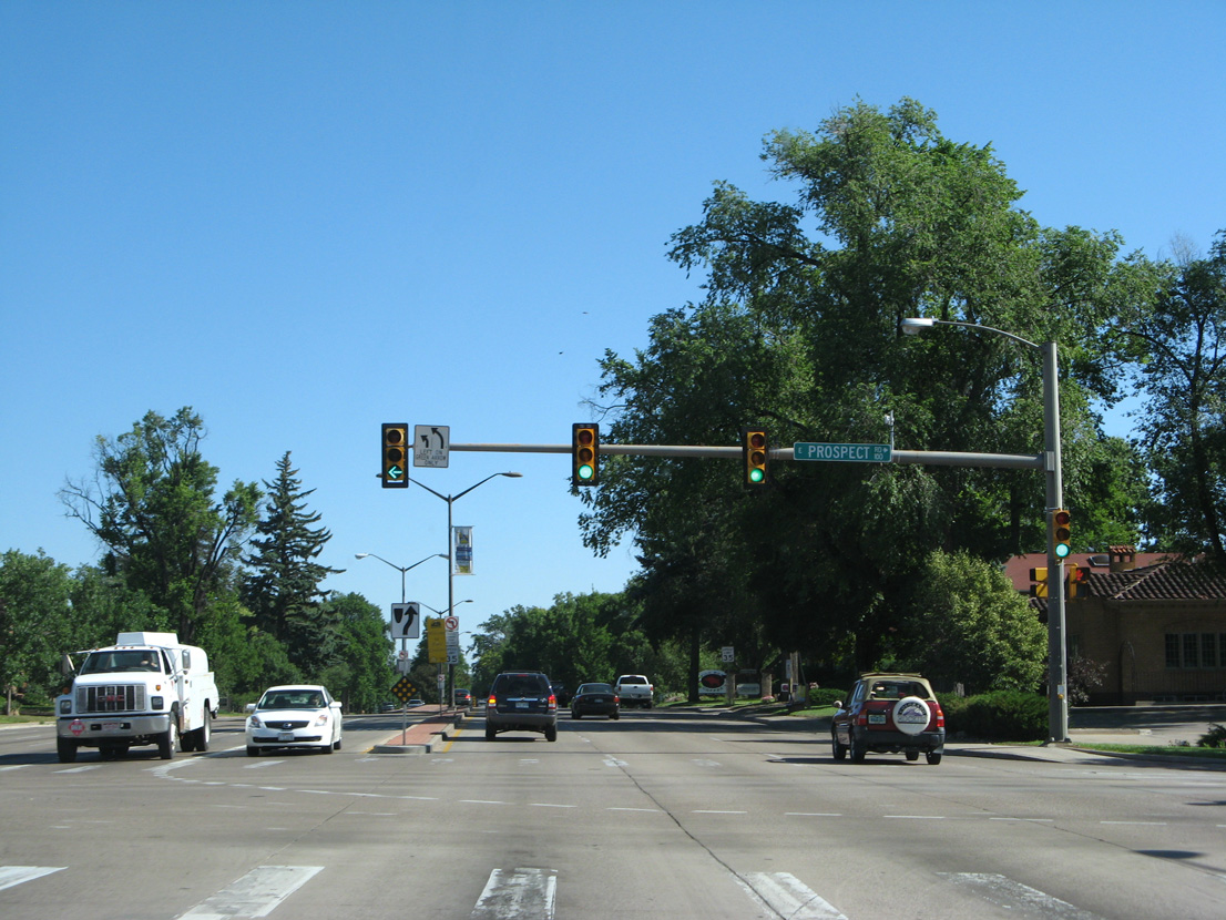
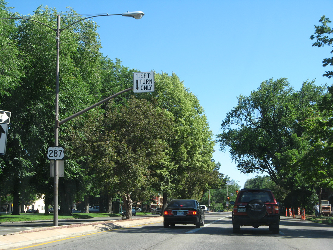
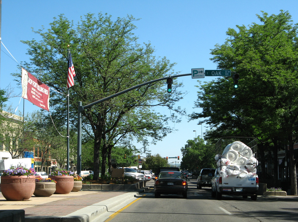
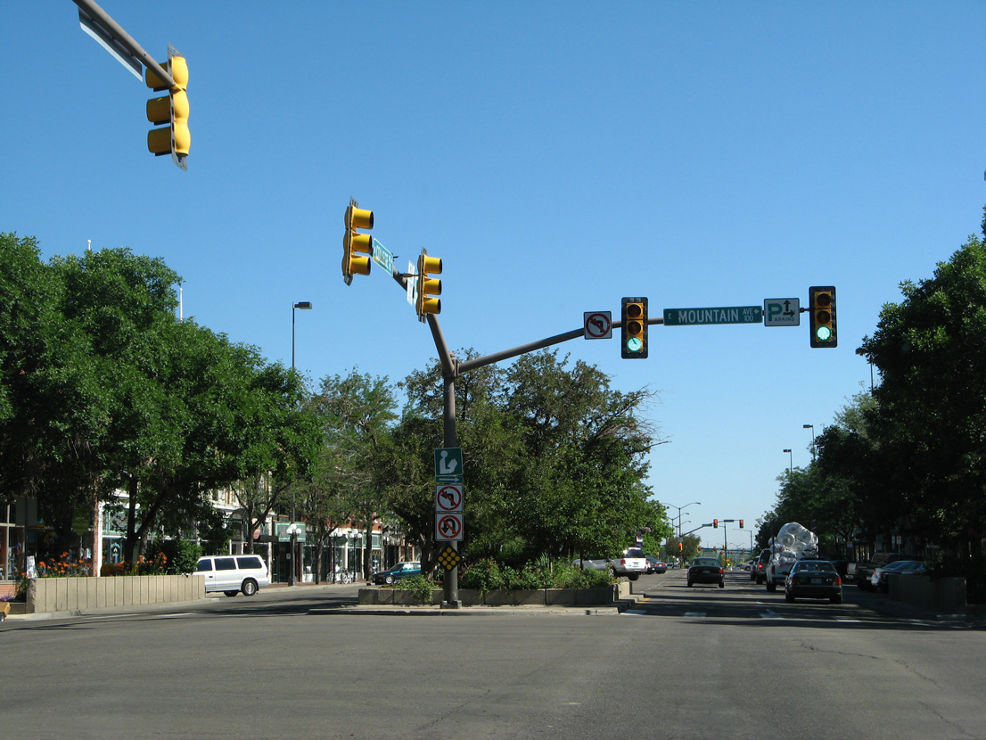
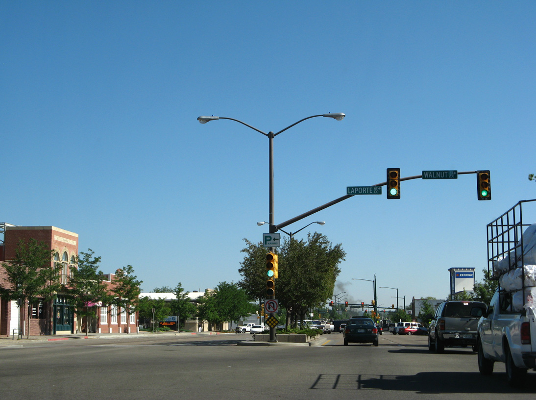
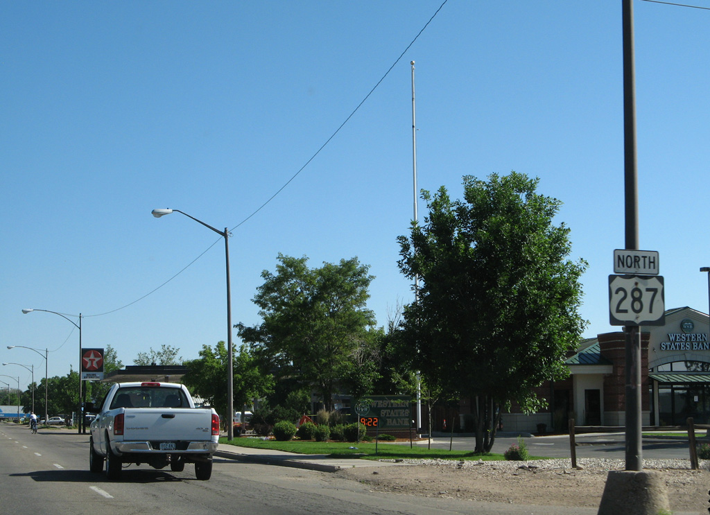
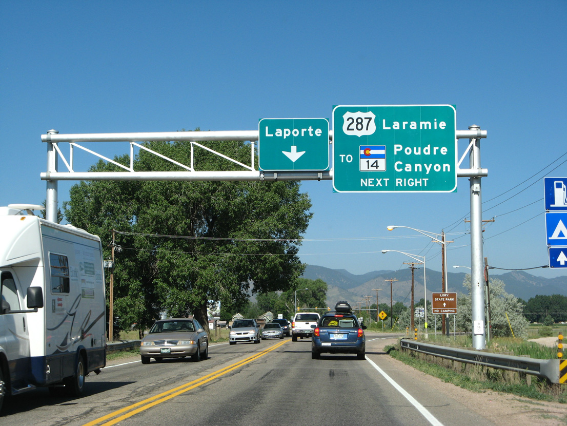
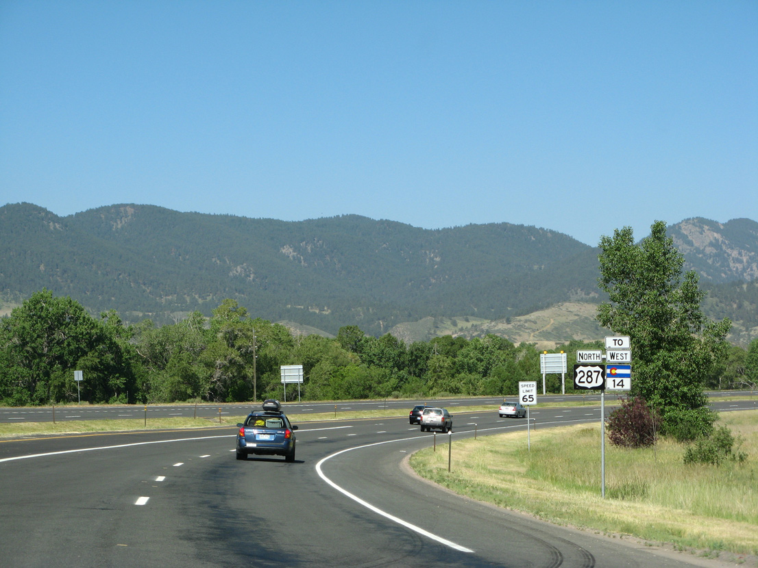
SH 14 converges with U.S. 287 (College Avenue) north from Downtown Fort Collins along Jefferson Street.
06/30/08
06/30/08
North  West
West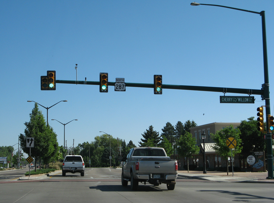
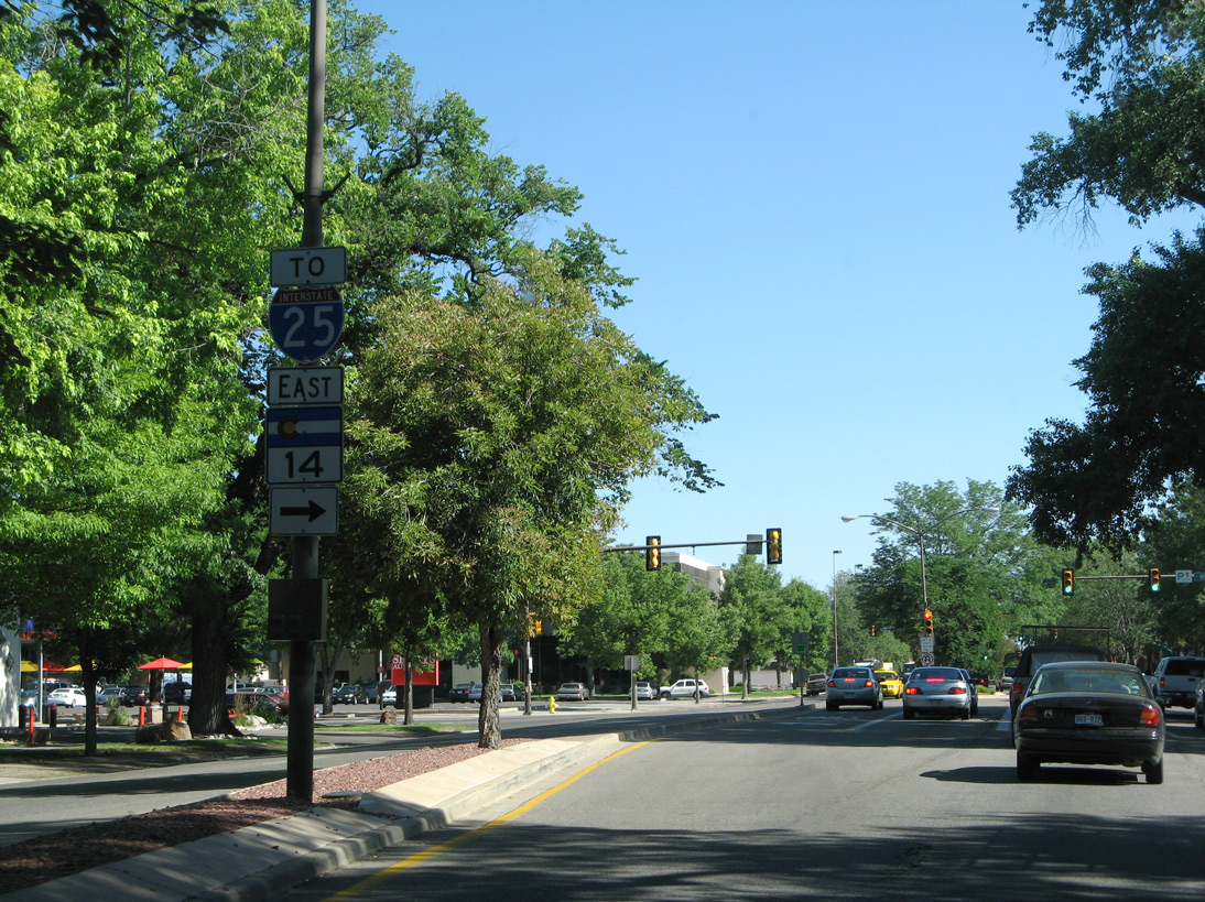
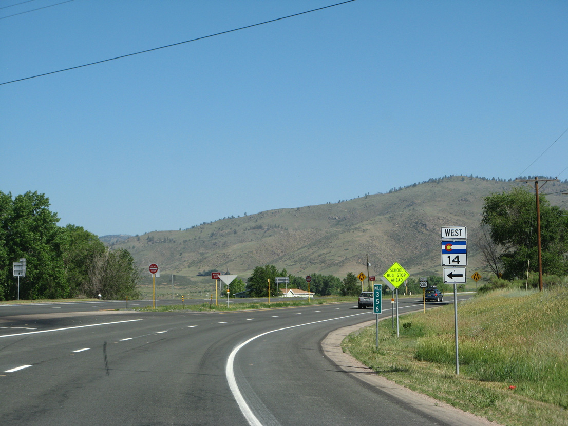
An implied overlap with U.S. 287 leads SH 14 north 13.06 miles from Segment C on Jefferson Street to Segment B at Ted's Place.
06/30/08
06/30/08
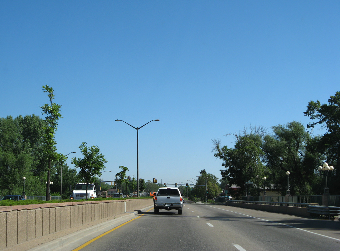
U.S. 287 (College Avenue) spans the Cache La Poudre River across the Gateway Bridge.
06/30/08
06/30/08
06/30/08
06/30/08
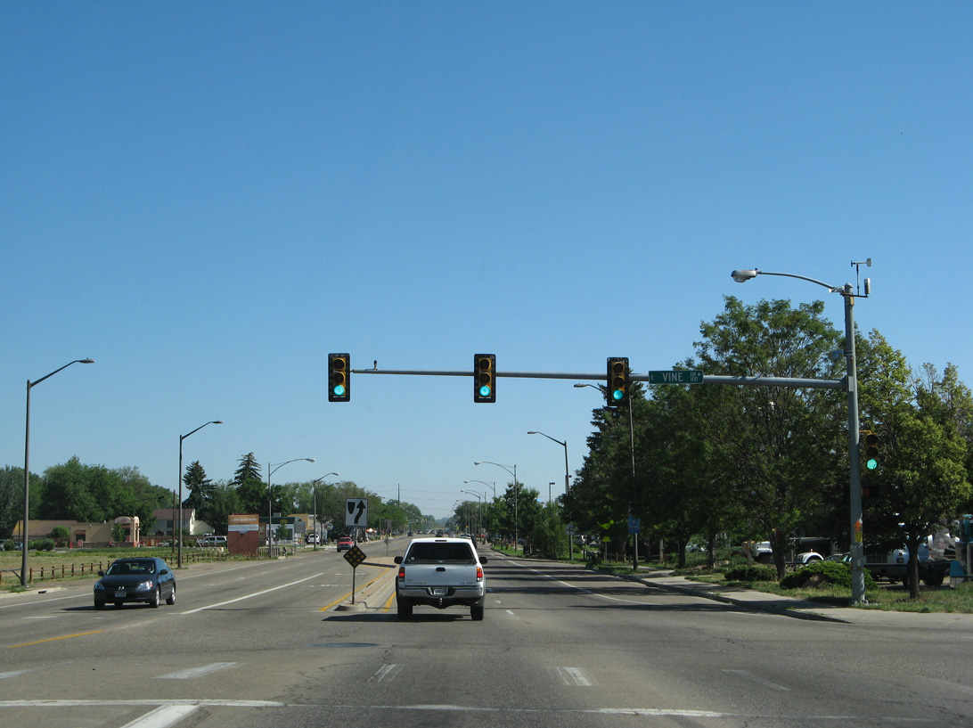
The reassurance marker posted north of Hickory Street was removed by 2015 during construction expanding College Avenue.
06/30/08
06/30/08
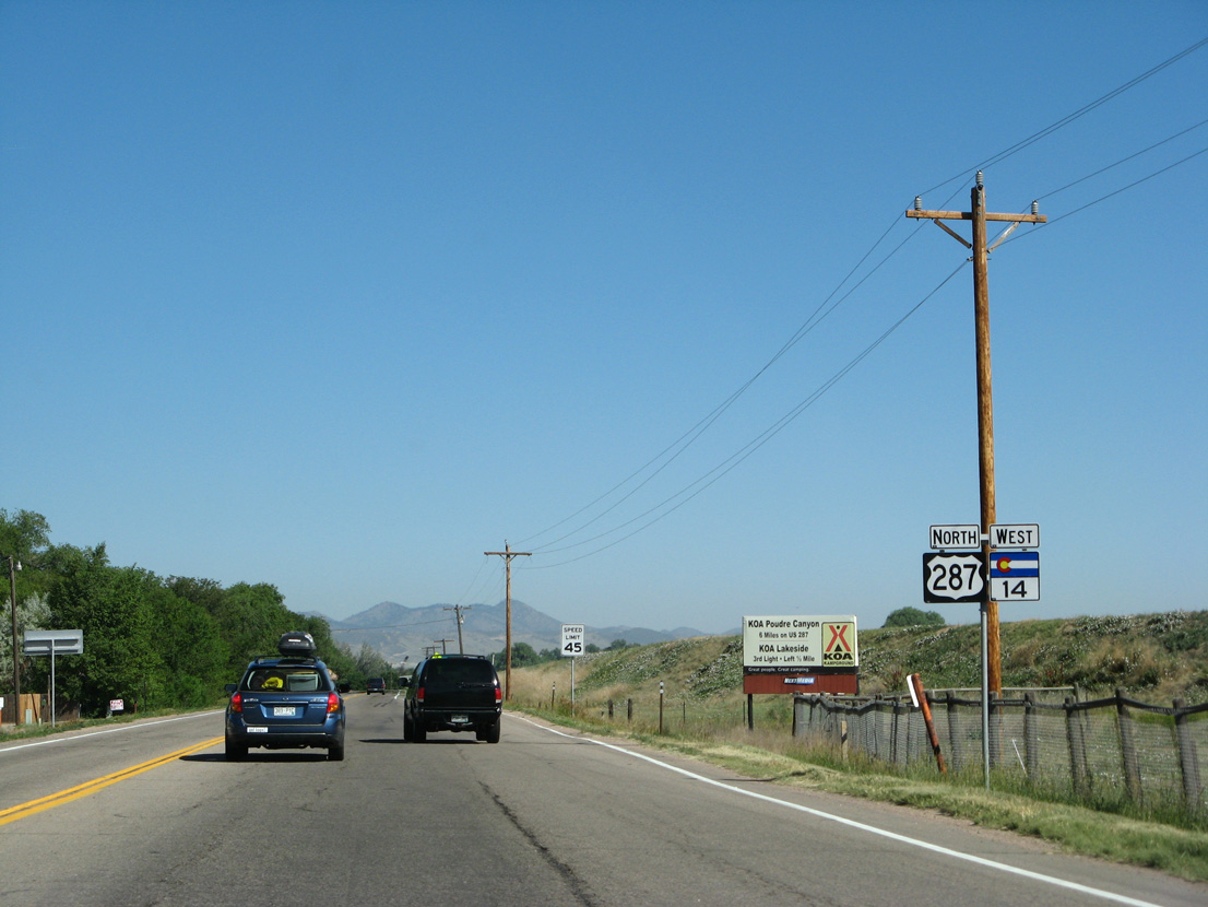
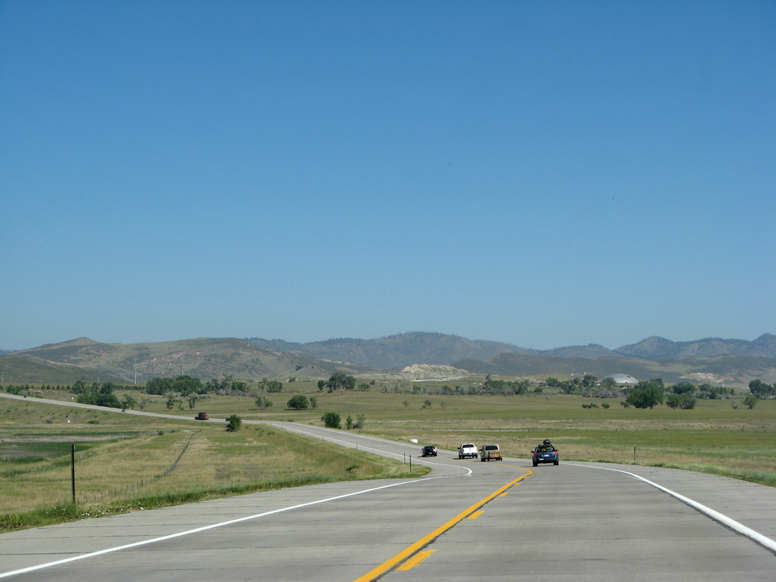
U.S. 287 meets the south end of SH 1 (Terry Lake Road) just beyond the Fort Collins city line.
06/30/08
06/30/08
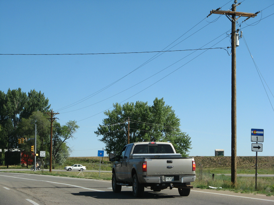
SH 1 runs 10.05 miles northeast to I-25/U.S. 87 at the town of Wellington. The route formerly overlapped with U.S. 287 as part of the original alignment of U.S. 87 south to Denver.
06/30/08
06/30/08
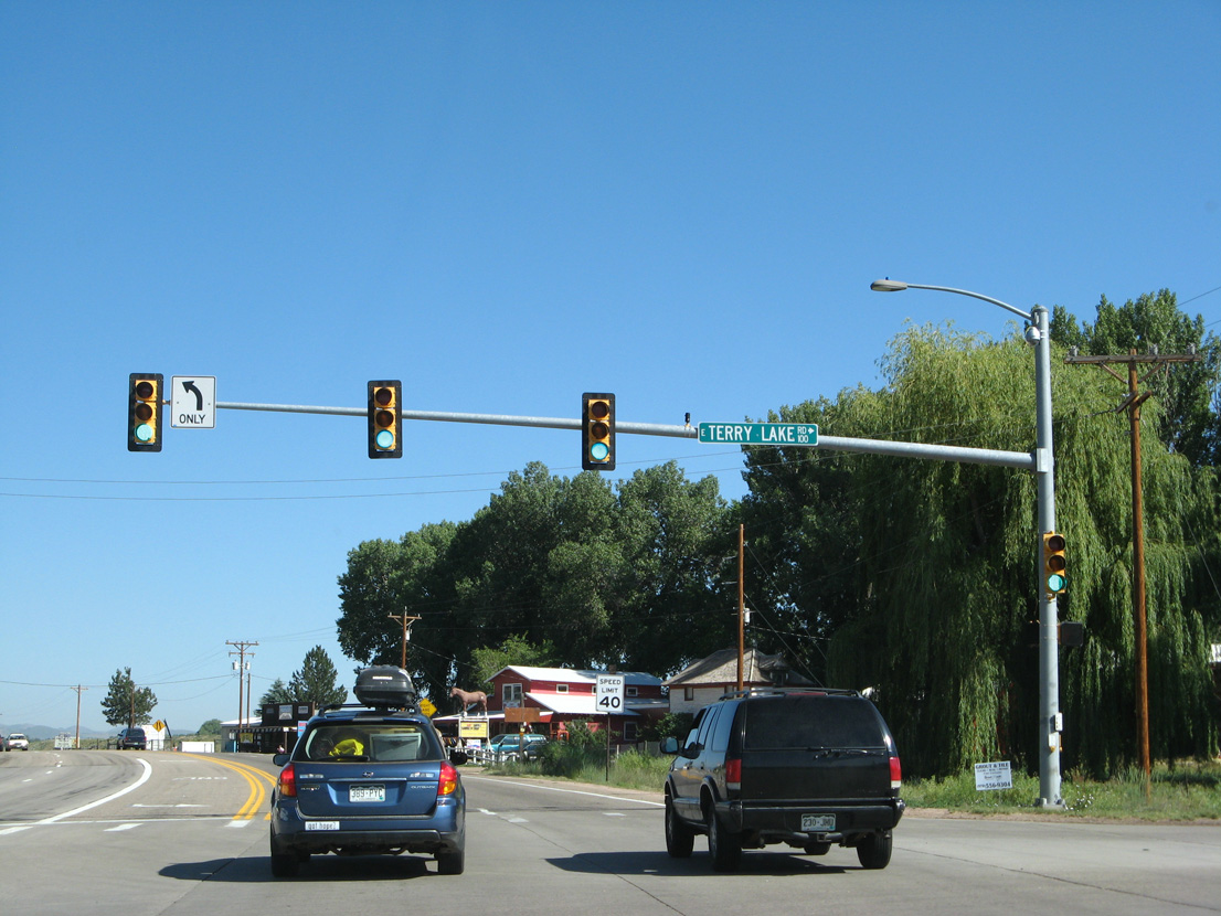
SH 1 encircles Terry Lake to the east while U.S. 287/SH 14 run along the reservoir to the southwest.
06/30/08
06/30/08
This shield assembly for U.S. 287/SH 14 was removed during widening of the highway north of SH 1 in 2016/17.
06/30/08
06/30/08
Expansion of U.S. 287/SH 14 to a five lane boulevard also resulted in the removal of this distance sign.
06/30/08
06/30/08
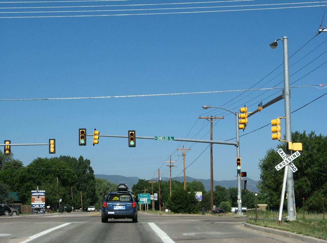
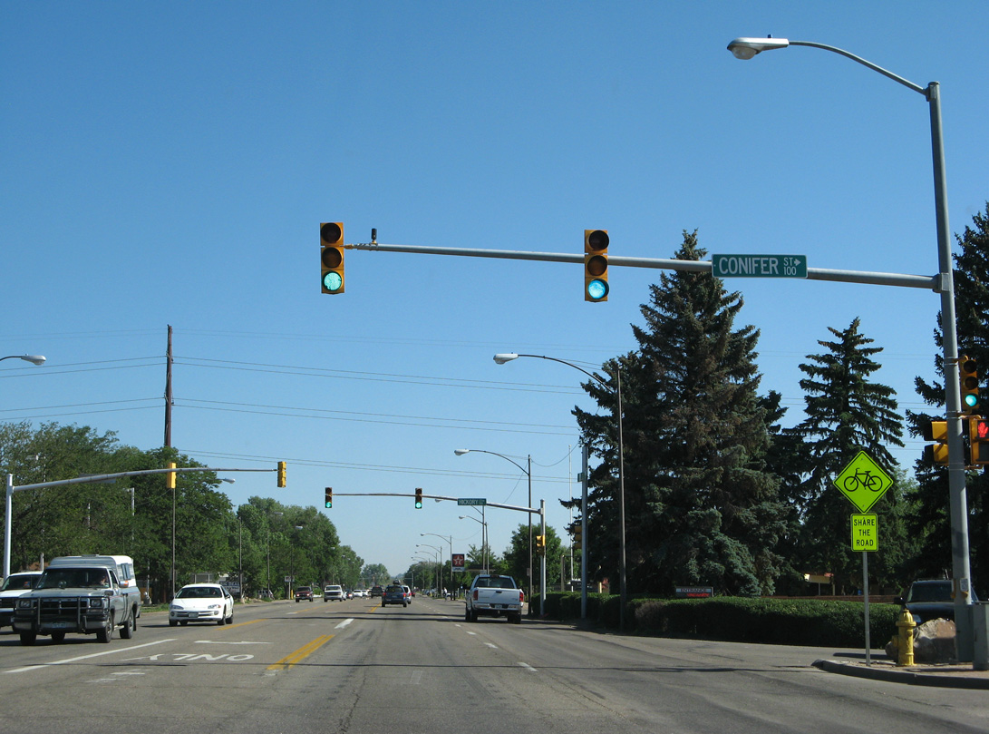
Turning west, U.S. 287/SH 14 intersect Shields Street (CR 17) at an at-grade crossing with the Union Pacific Railroad.
06/30/08
06/30/08
06/30/08
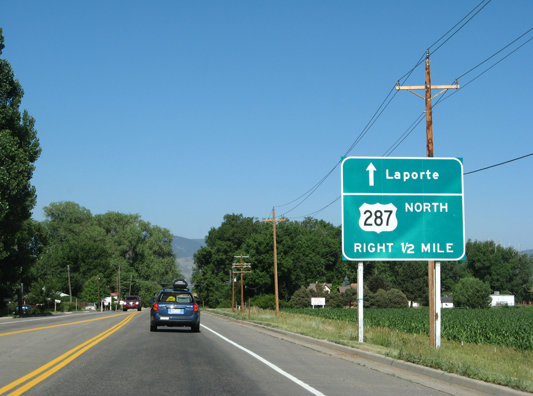
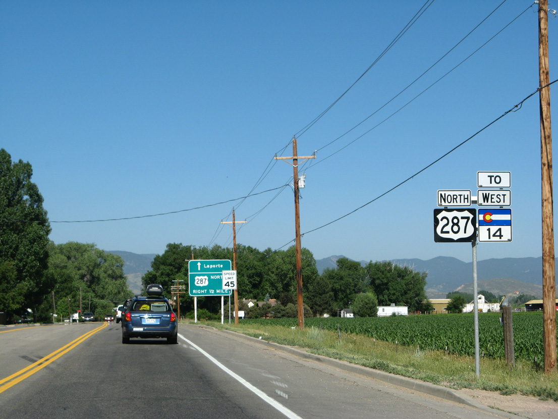
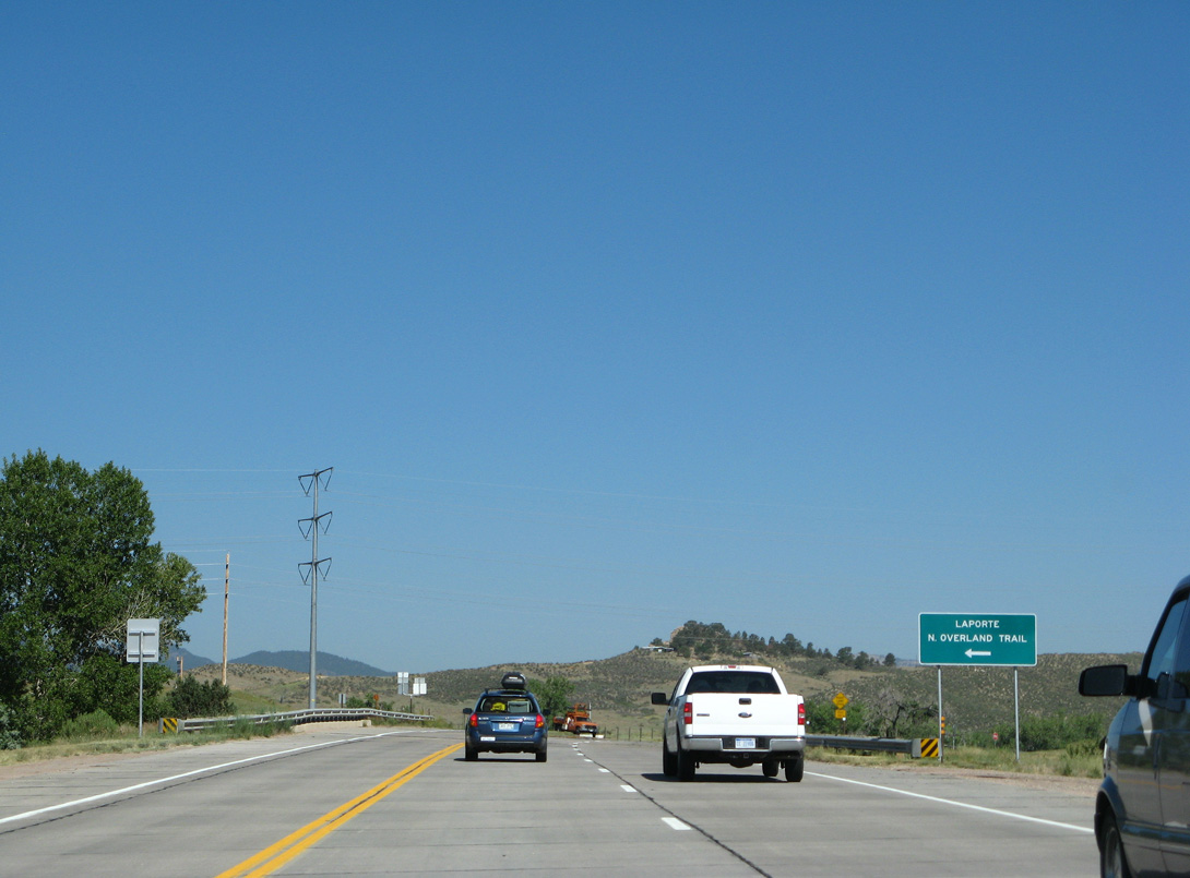
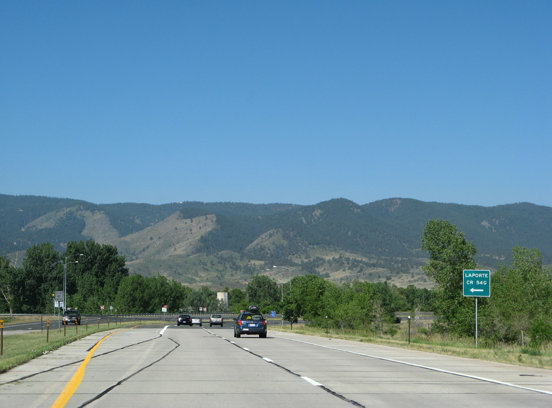
Posted just west of Shields Street, this guide sign preceded the previous split with CR 54G (old U.S. 287) into Laporte.
06/30/08
06/30/08
Part of a three year project improving U.S. 287 between SH 1 to Laporte through Spring 2019, construction at CR 54G added a 228 foot diameter roundabout.1
06/30/08
06/30/08

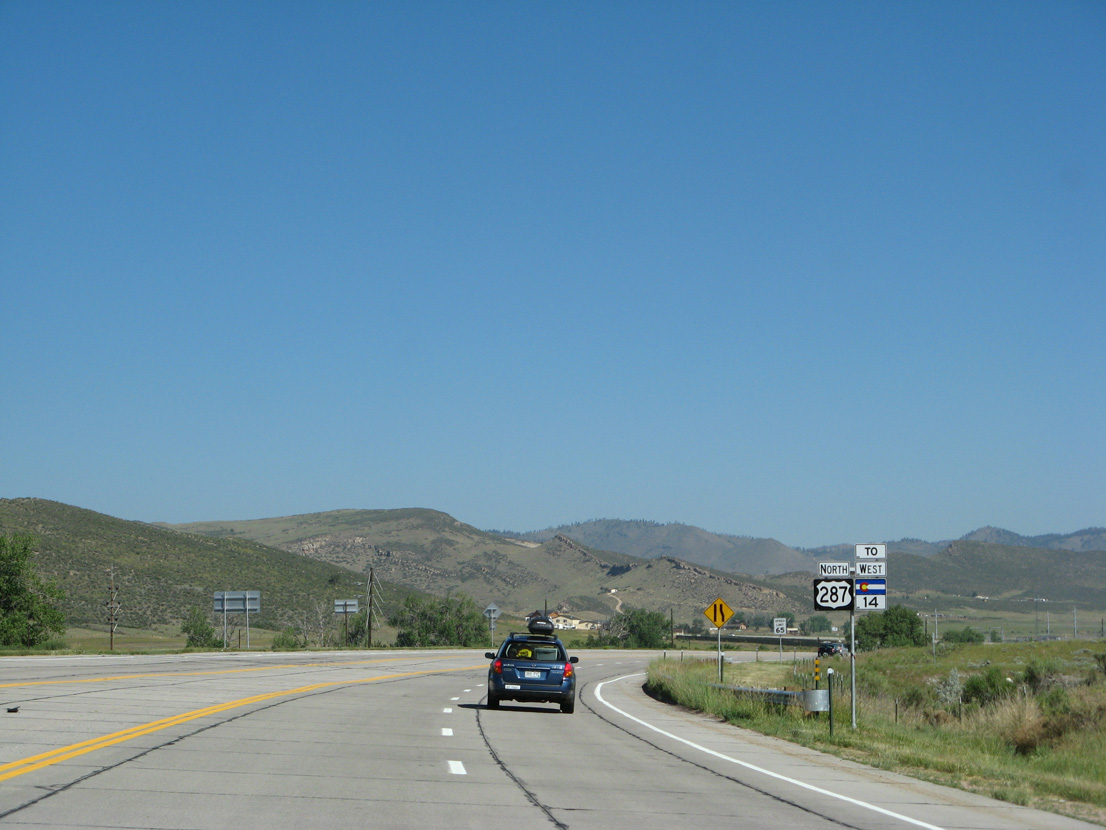
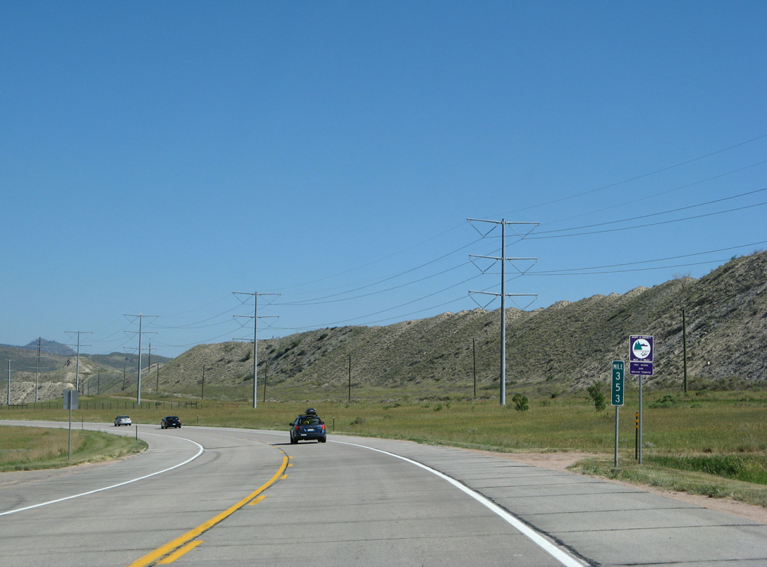
U.S. 287 shifts northwest from the roundabout with CR 54G near milepost 350 to bypass Laporte.
06/30/08
06/30/08
U.S. 287 formerly ran west along CR 54G through Laporte.
06/30/08
06/30/08
The grade separation taking U.S. 287/SH 14 over County Road 19 was constructed as part of the Laporte bypass in 1998.
06/30/08
06/30/08
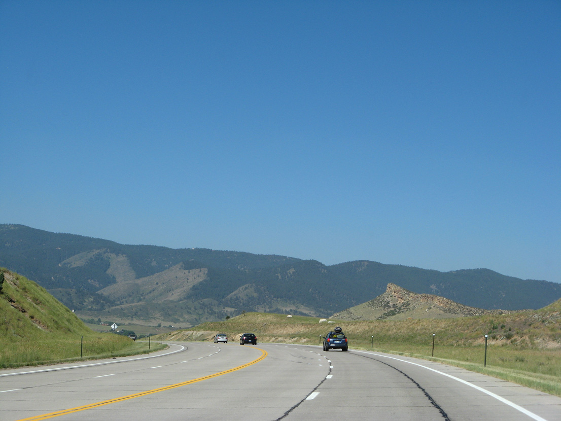
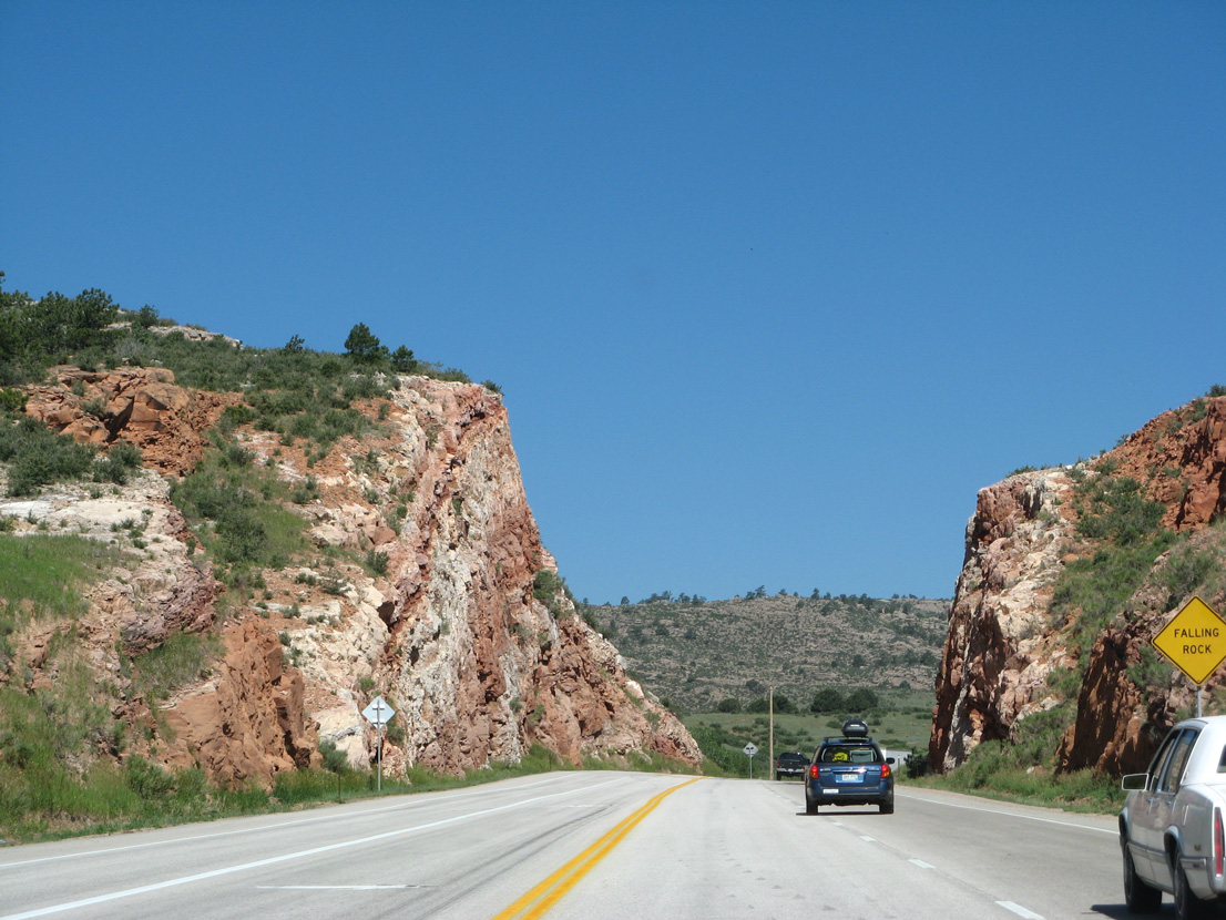
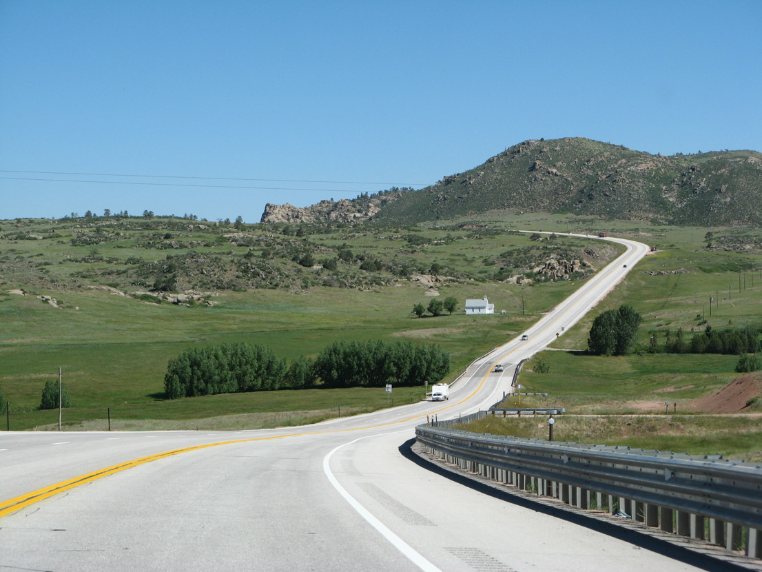
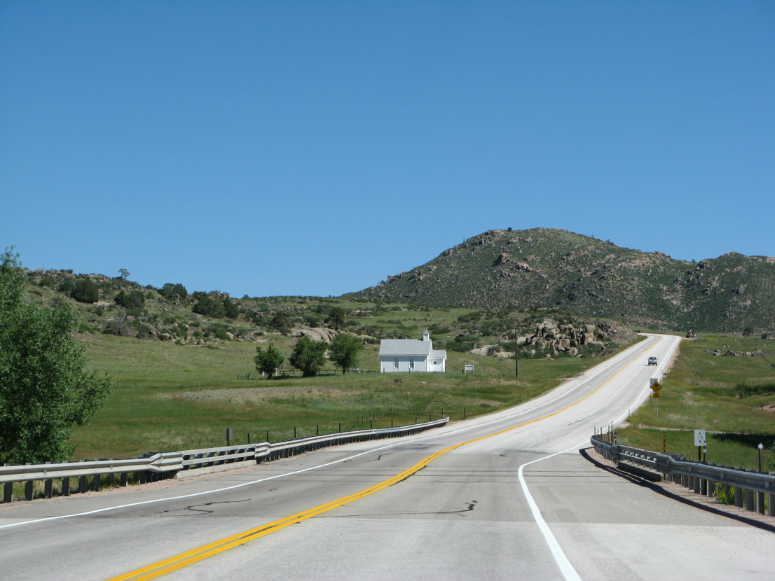
The foothills of the Front Range come into view along the controlled access bypass of Laporte.
06/30/08
06/30/08
U.S. 287/SH 14 intersect N Overland Trail south to Laporte and CR 21C north just beyond mile marker 352.
06/30/08
06/30/08
06/30/08
06/30/08

06/30/08
06/30/08
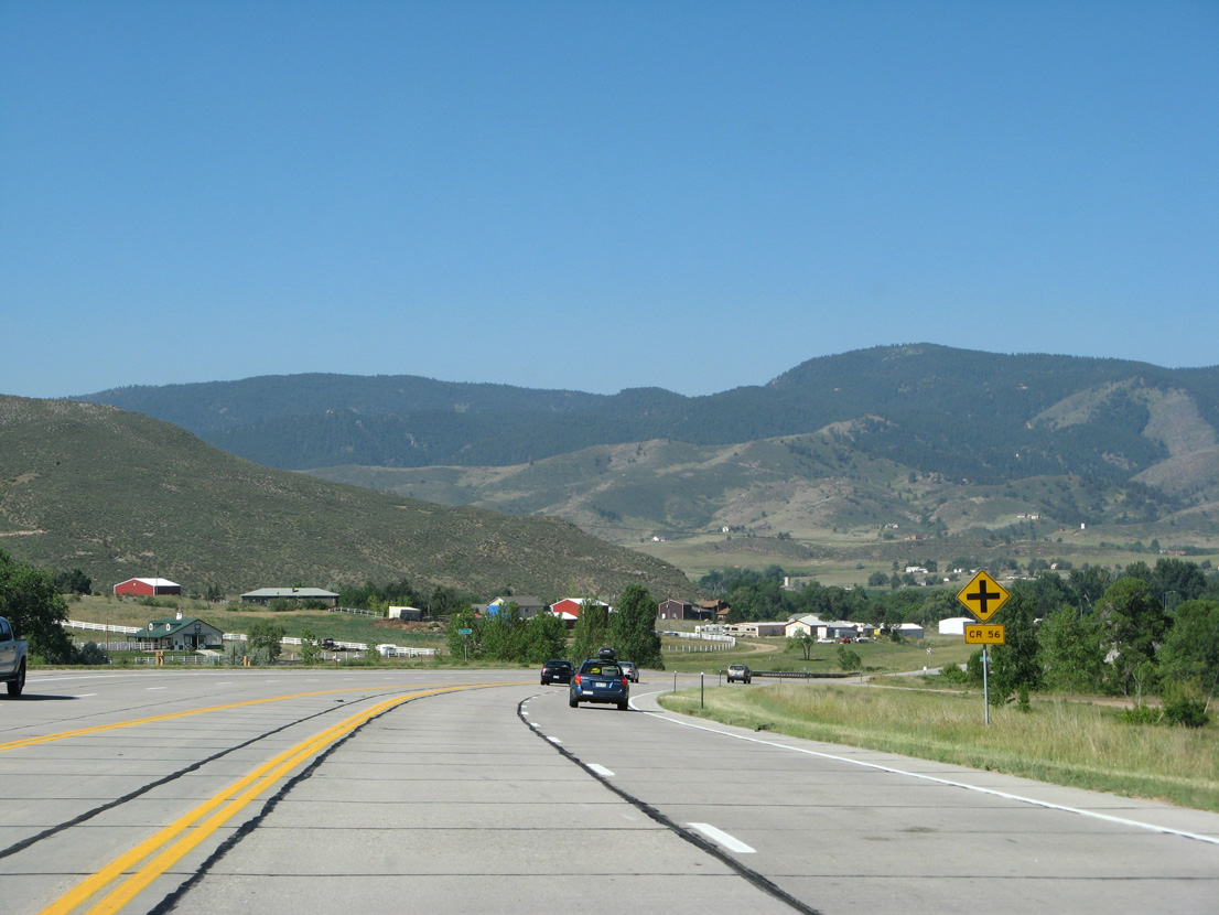
Curving southwest, U.S. 287 intersects CR 56 west and Green Mile Drive south.
06/30/08
06/30/08
06/30/08
CR 54G (old U.S. 287) returns to U.S. 287/SH 14 northwest from Laporte.
06/30/08
06/30/08
06/30/08
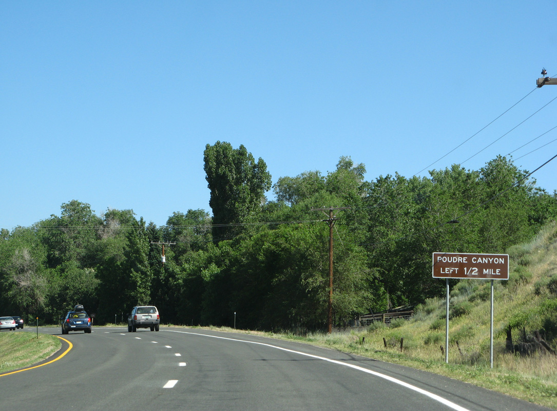
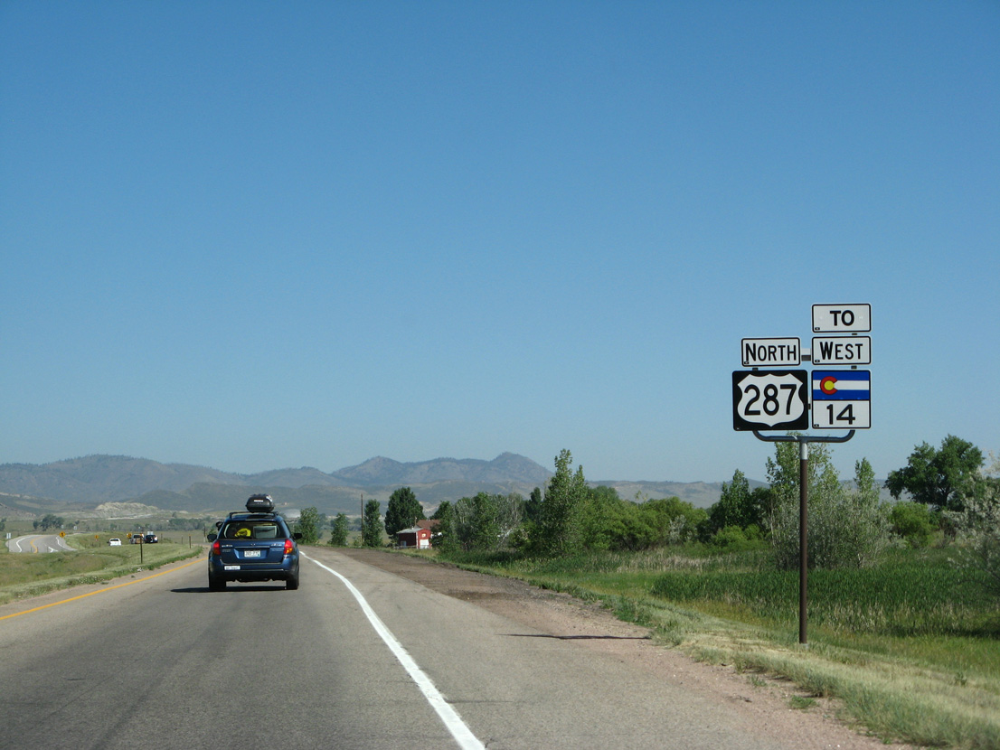
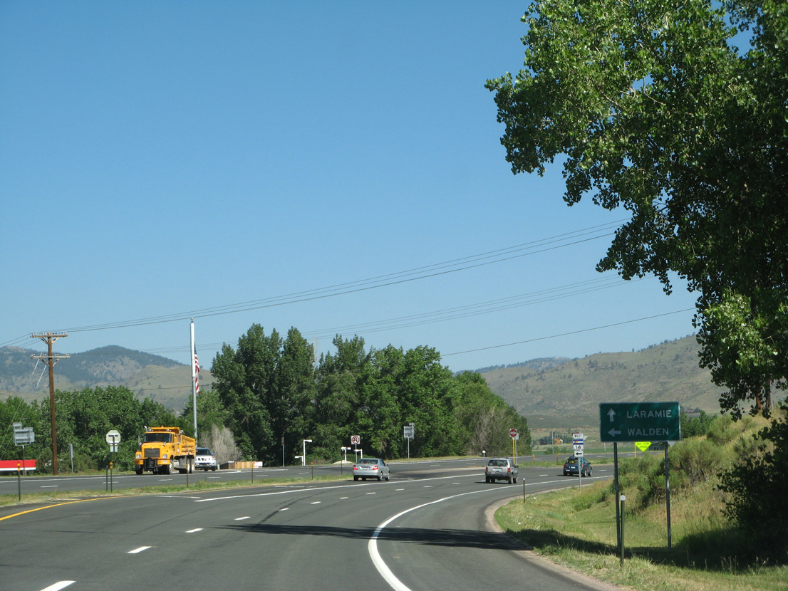
SH 14 separates from U.S. 287 north in a half mile for Poudre Canyon and Roosevelt National Forest.
06/30/08
06/30/08
06/30/08
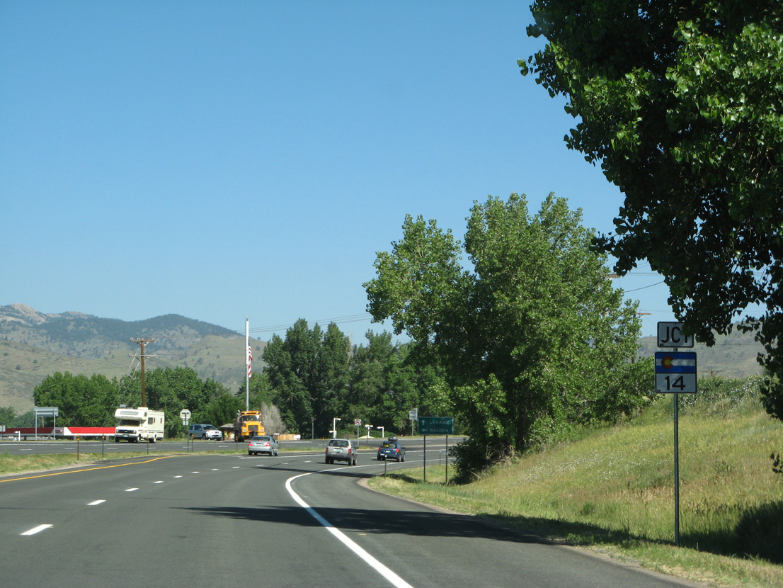
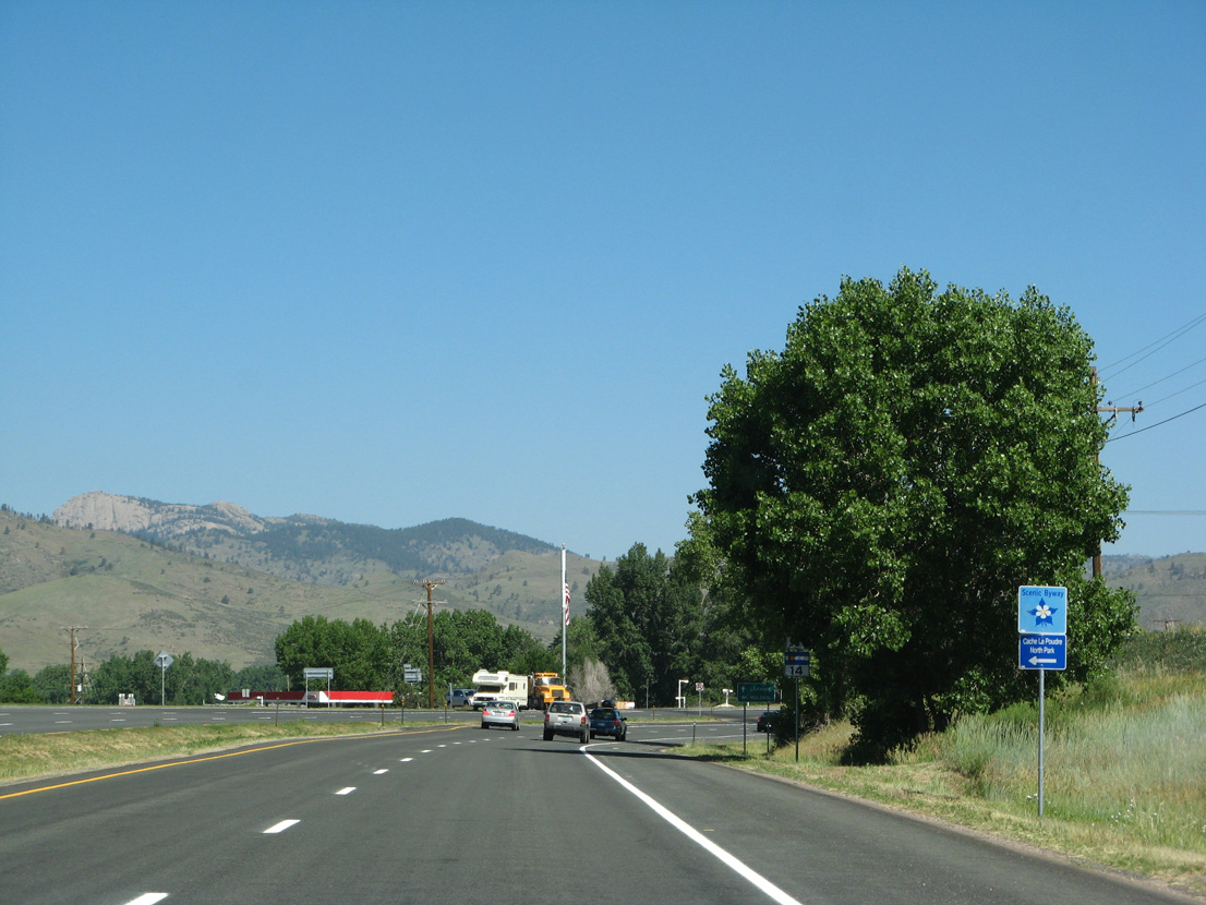
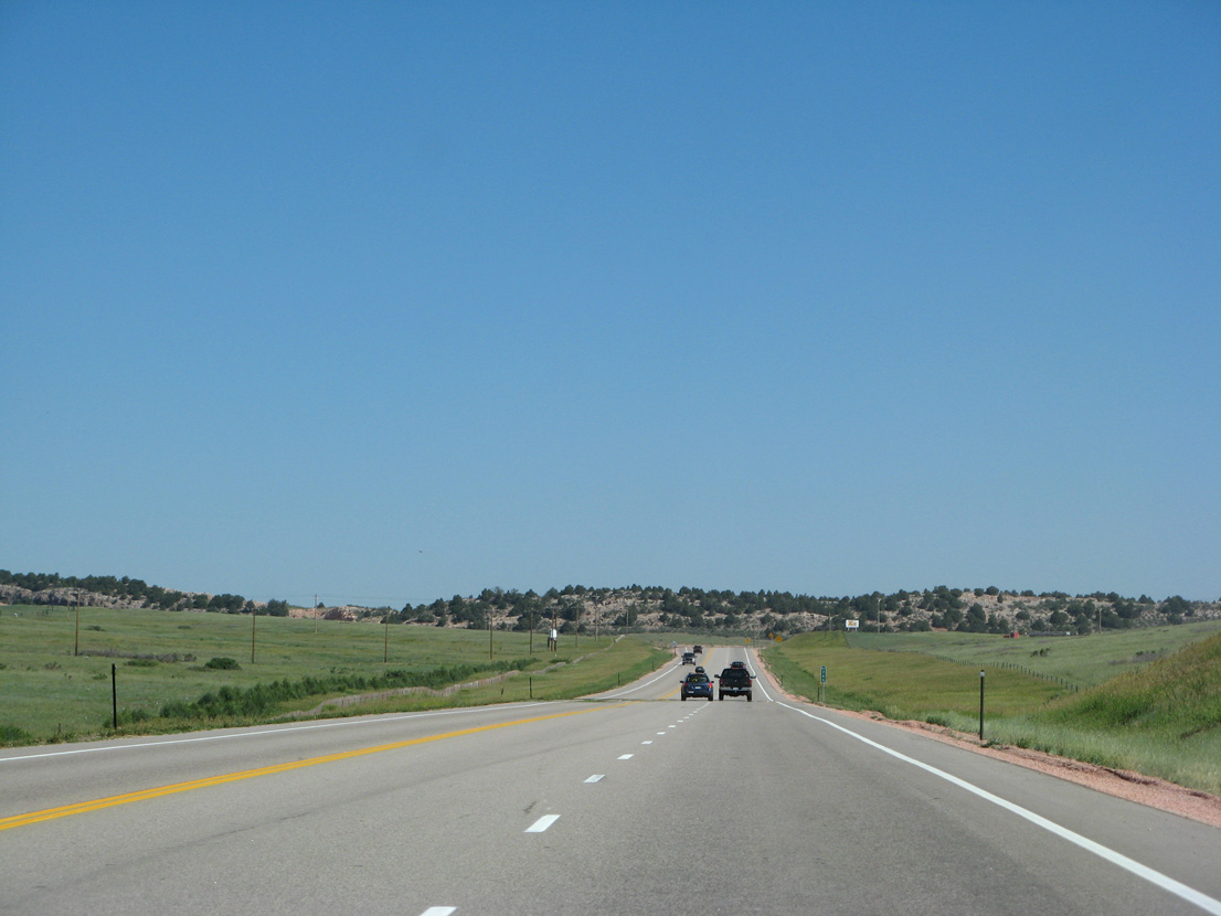
Segment B of SH 14 travels 87.62 miles west from U.S. 287 at Ted's Place to SH 125 (Main Street) in the Jackson County seat of Walden.
06/30/08
06/30/08
06/30/08
06/30/08
North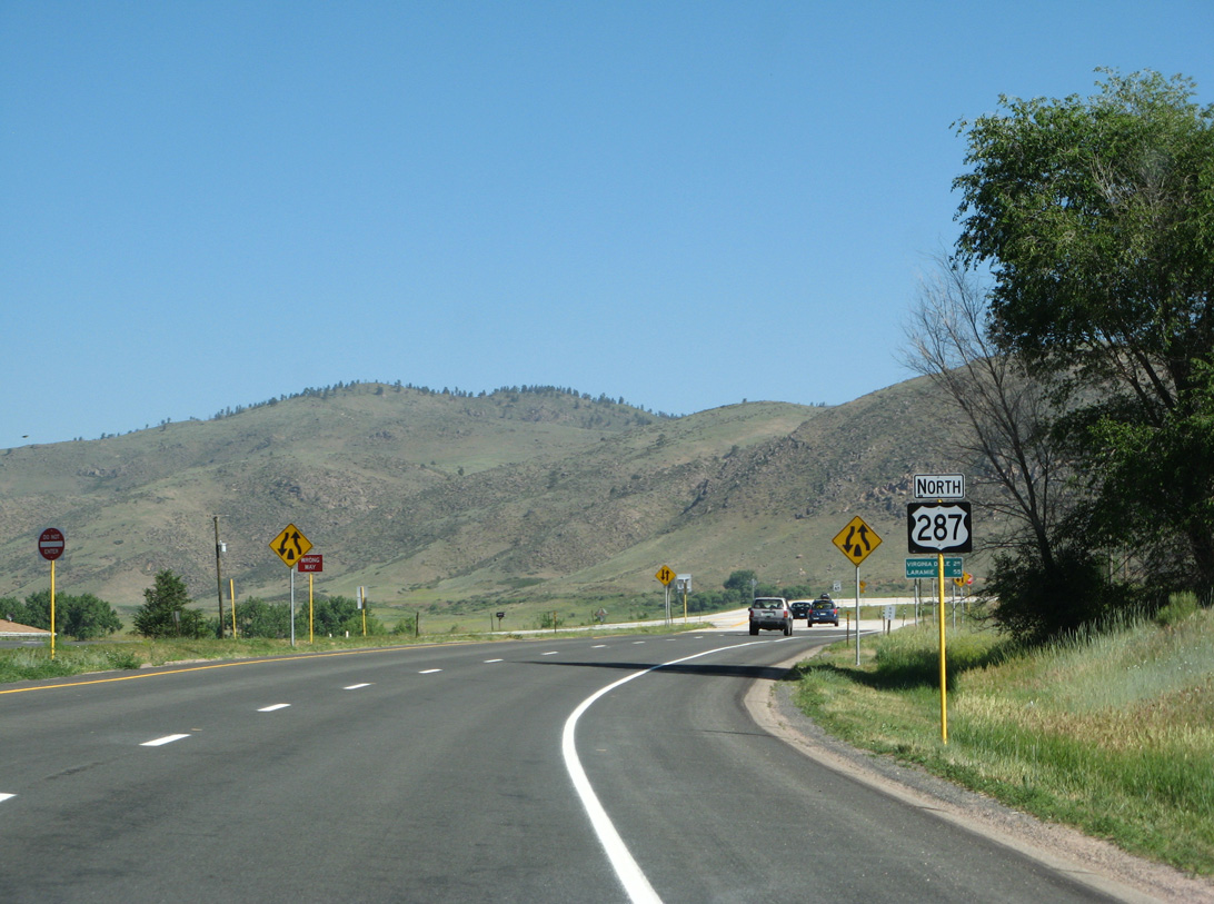
06/30/08
06/30/08
06/30/08
06/30/08
U.S. 287 north crossing the North Poudre Supply Canal.
06/30/08
06/30/08
06/30/08
Reassurance marker posted north of Ingleside Road.
06/30/08
06/30/08
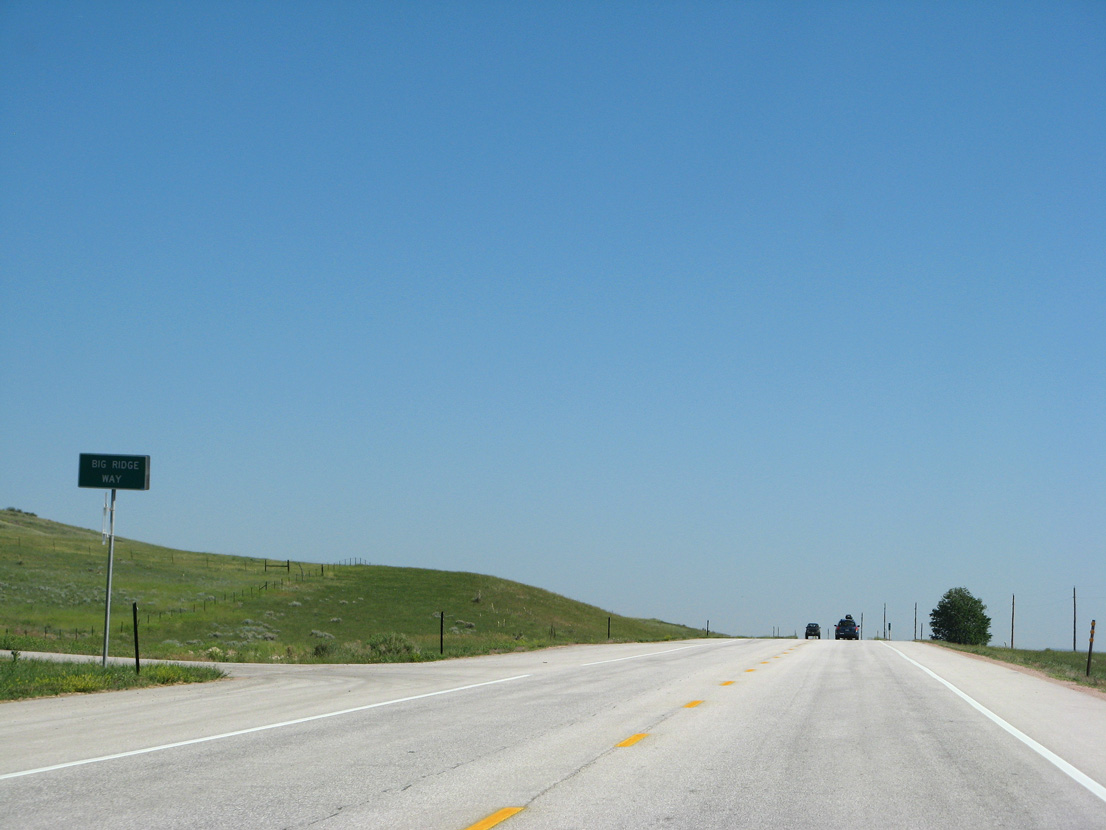
Big Ridge Way is an old alignment of U.S. 287 east of Bonner Peak.
06/30/08
06/30/08
06/30/08
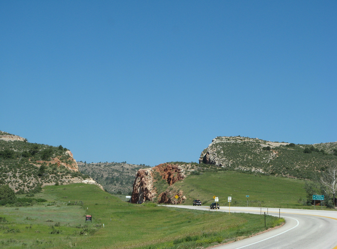
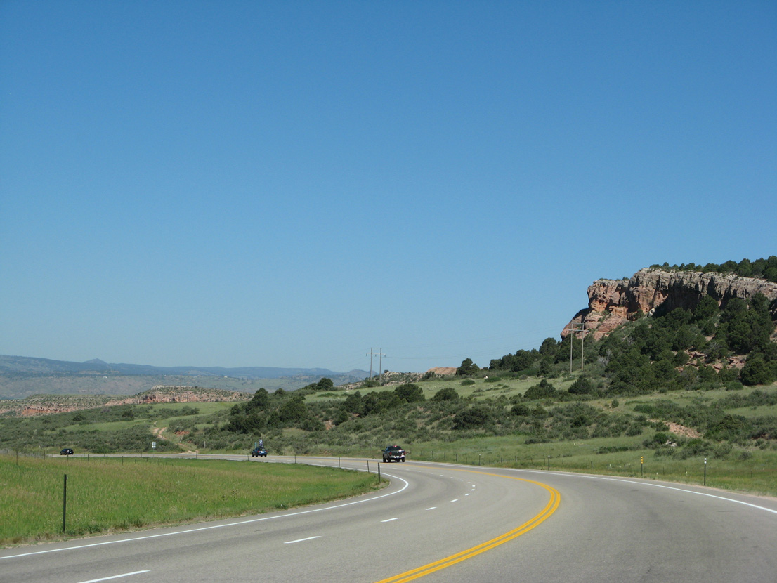
U.S. 287 navigates through an S-curve at mile marker 363 to Owl Canyon.
06/30/08
06/30/08
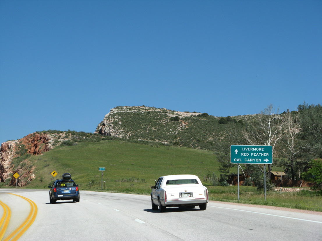
CR 72 lowers from Owl Canyon and the Front Range to ranch land west of Interstate 25.
06/30/08
06/30/08
06/30/08
06/30/08
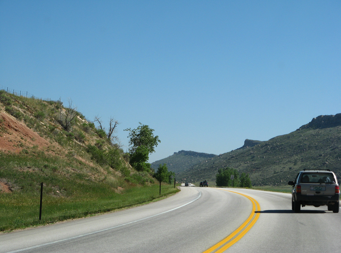
U.S. 287 advances northwest from Owls Canyon to mile marker 365 on Gage Hill.
06/30/08
06/30/08
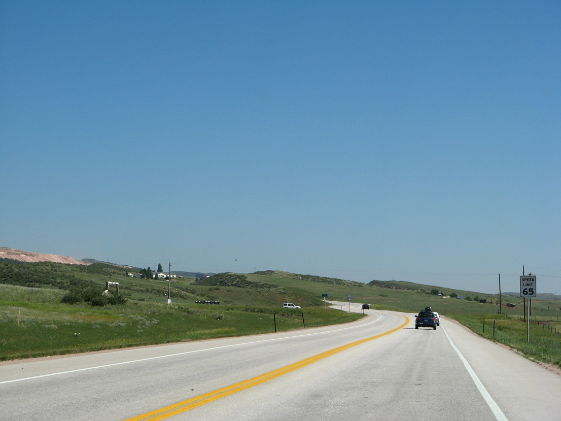
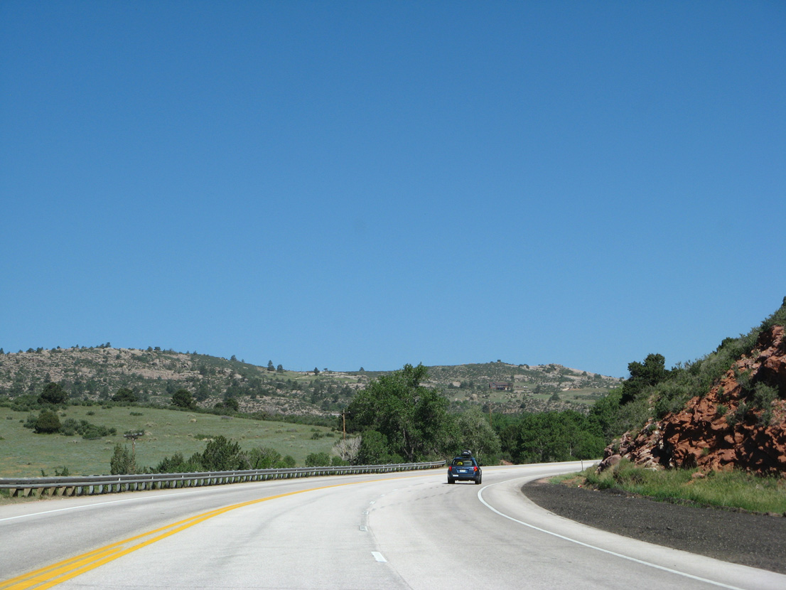
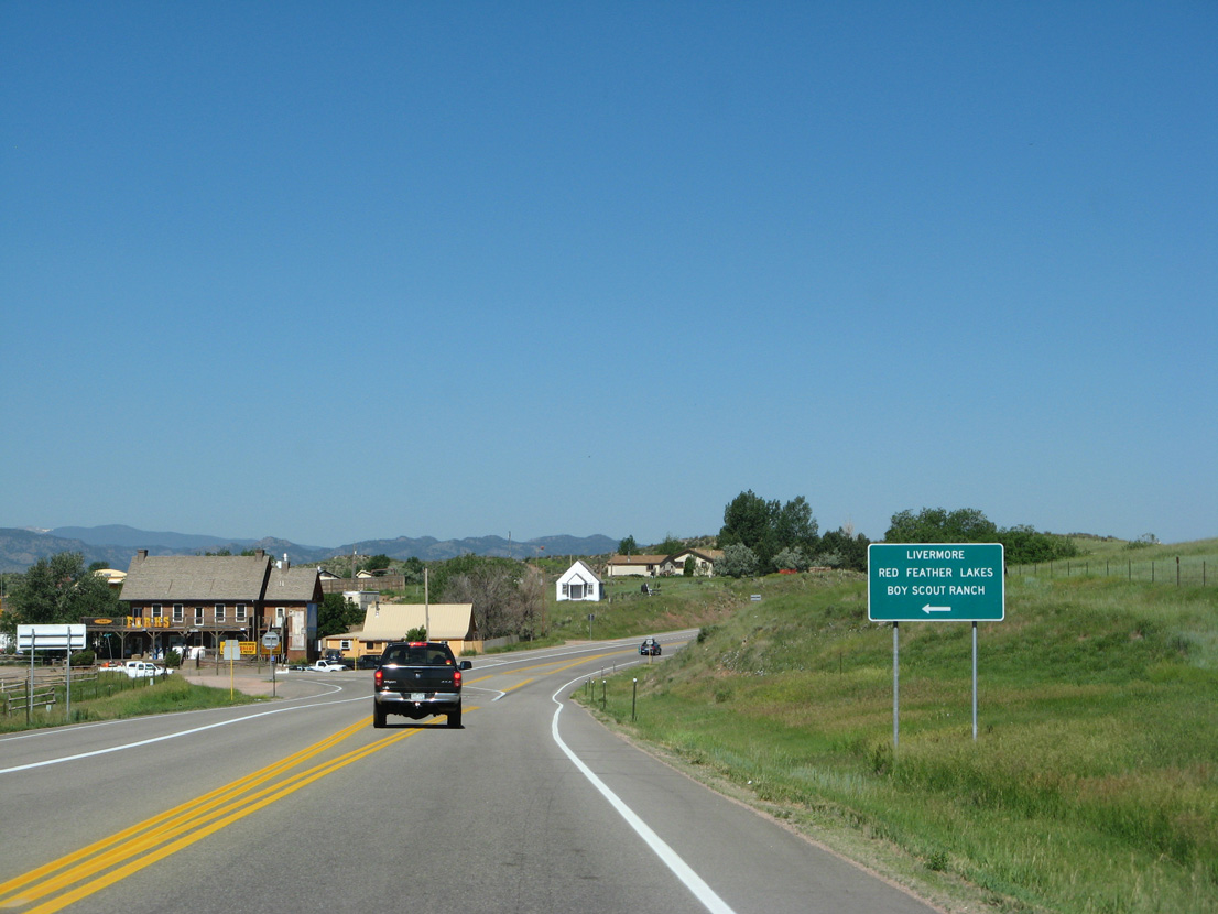
Curving west to mile marker 366, U.S. 287 lowers to the unincorporated community of Livermore.
06/30/08
06/30/08
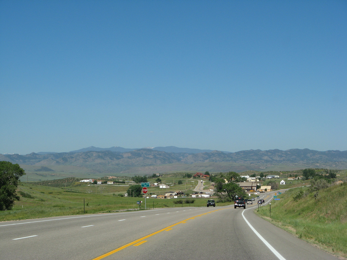
U.S. 287 enters Livermore west of Springs Ranch Road.
06/30/08
06/30/08
06/30/08
06/30/08
06/30/08
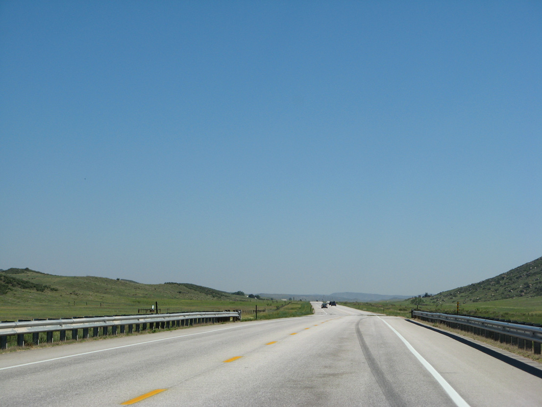
North of CR 80, U.S. 287 descends into a broad valley west of Tibbits Lake.
06/30/08
06/30/08
Deadman Butte rises just east of U.S. 287.
06/30/08
06/30/08
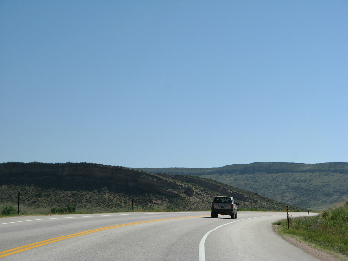
U.S. 287 ascends through an S-curve across Grayback Ridge.
06/30/08
06/30/08

06/30/08
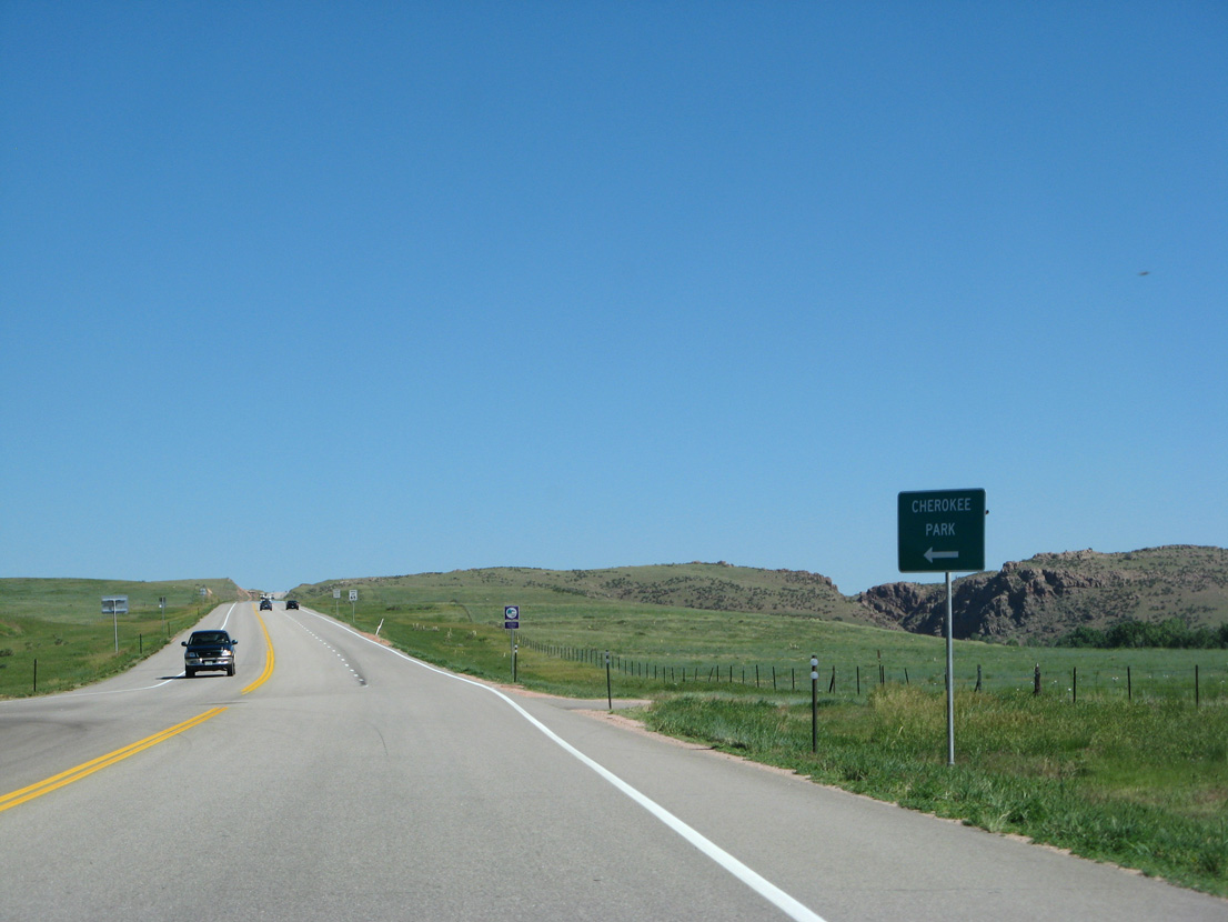
CR 80C ties into U.S. 287 at Cherokee Park.
06/30/08
06/30/08
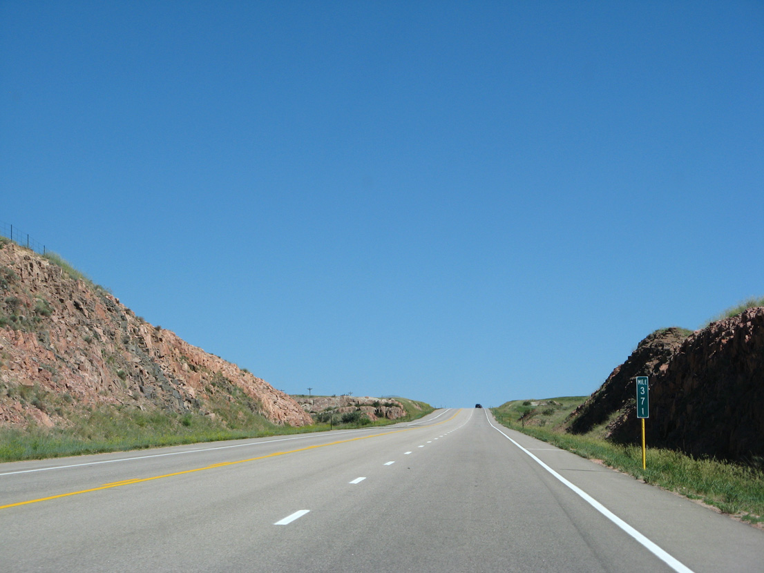
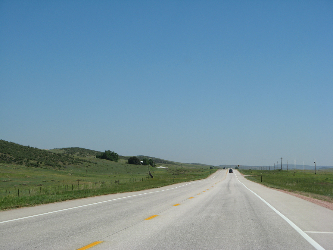
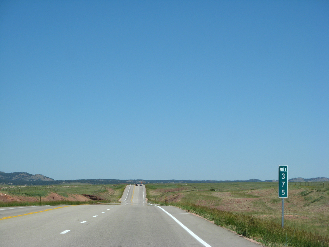
U.S. 287 rises onto another ridge north to mile marker 371.
06/30/08
06/30/08
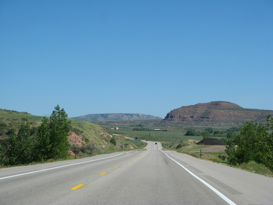
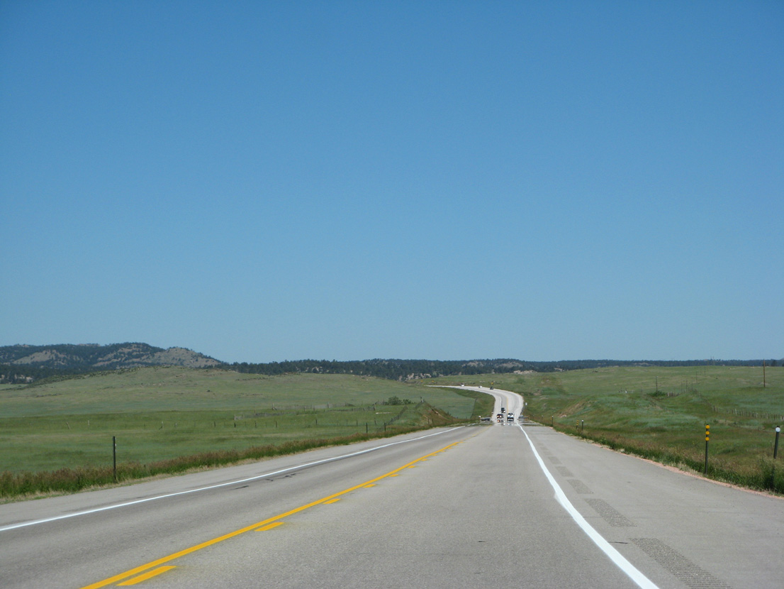
U.S. 287 travel west of Red Nose and Red Mountain.
06/30/08
06/30/08
Crossing Lonetree Creek for the first time on U.S. 287 northbound.
06/30/08
06/30/08

CR 37 (Red Mountain Road) stems north to Red Mountain.
06/30/08
06/30/08
06/30/08
06/30/08
Northbound U.S. 287 at Old Ranch Road and Deadman Creek.
06/30/08
06/30/08
The bridge over Deadman Creek follows mile marker 379.
06/30/08
06/30/08
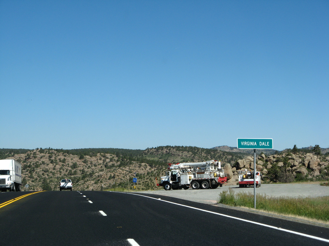
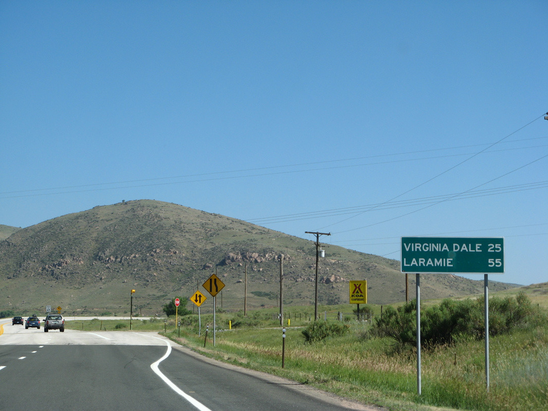
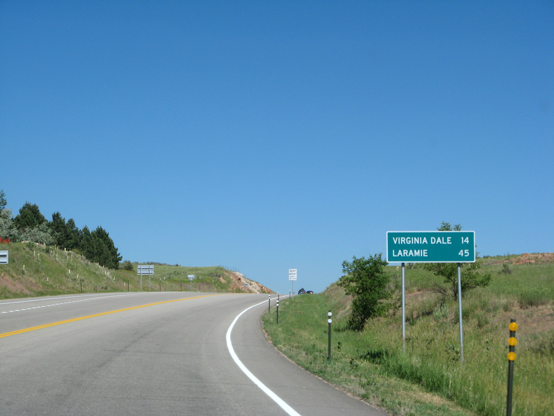
The settlement of Virginia Dale is the last community along U.S. 287 north in Colorado.
06/30/08
06/30/08
06/30/08
06/30/08
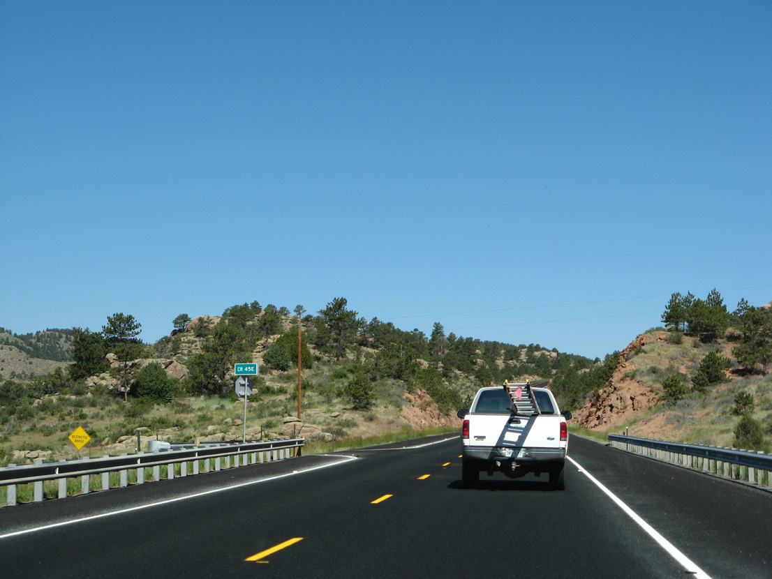
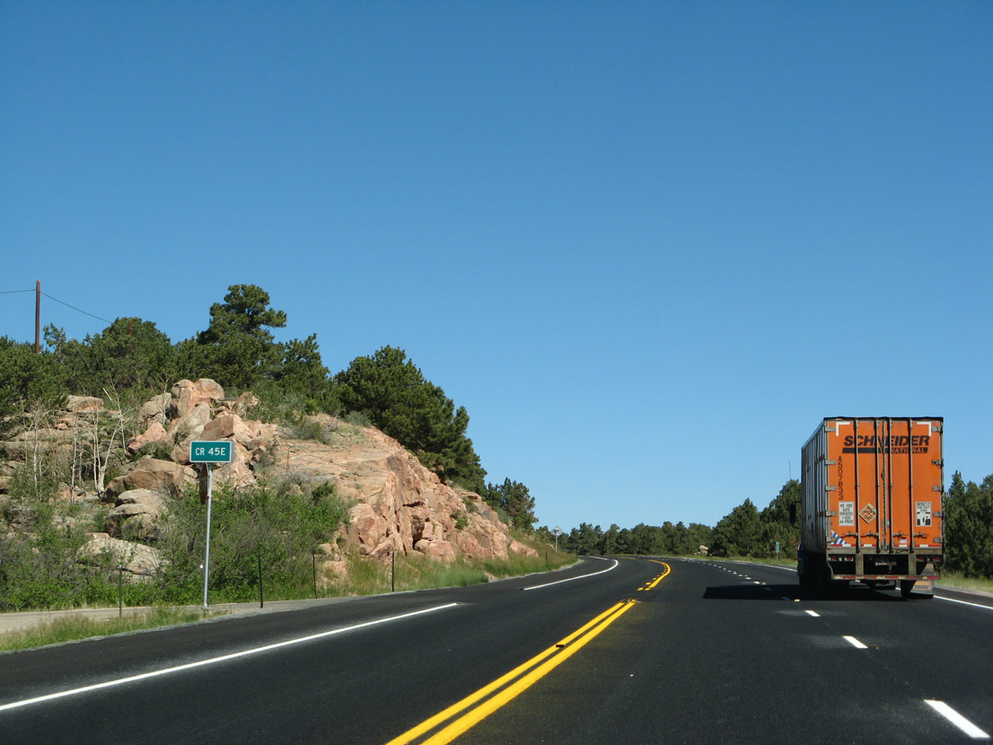
CR 45E loops west of U.S. 287 along a former alignment of the highway.
06/30/08
06/30/08
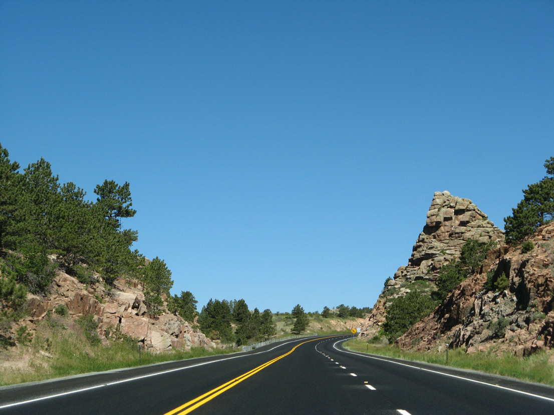
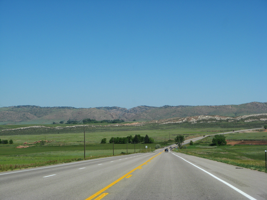
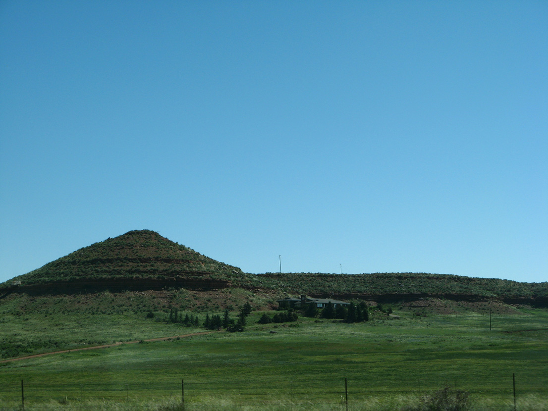
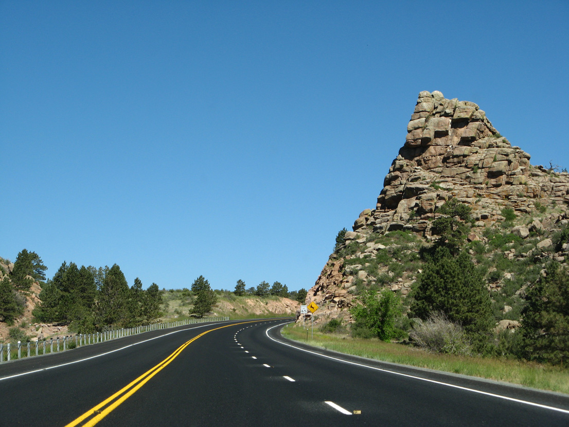
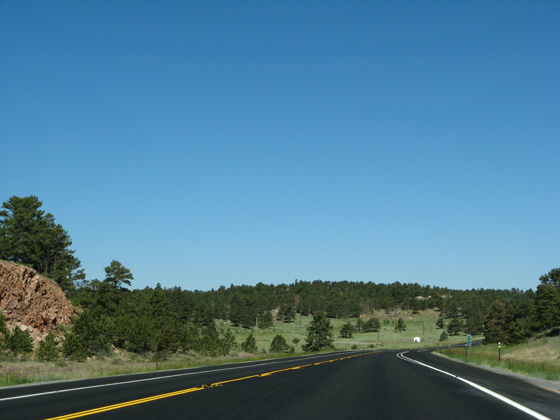
Rock formation north of mile marker 382.
06/30/08
06/30/08
06/30/08
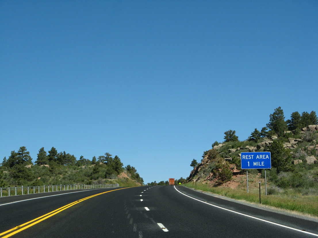
The CDOT Virginia Dale Rest Area lines the west side of U.S. 287 in one mile.
06/30/08
06/30/08
CR 45E returns from ranch land east of Fish Creek.
06/30/08
06/30/08

06/30/08
06/30/08
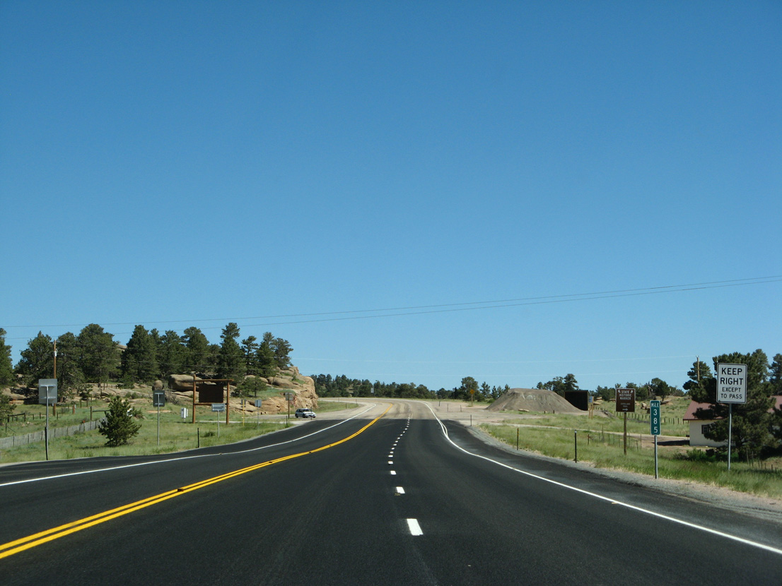
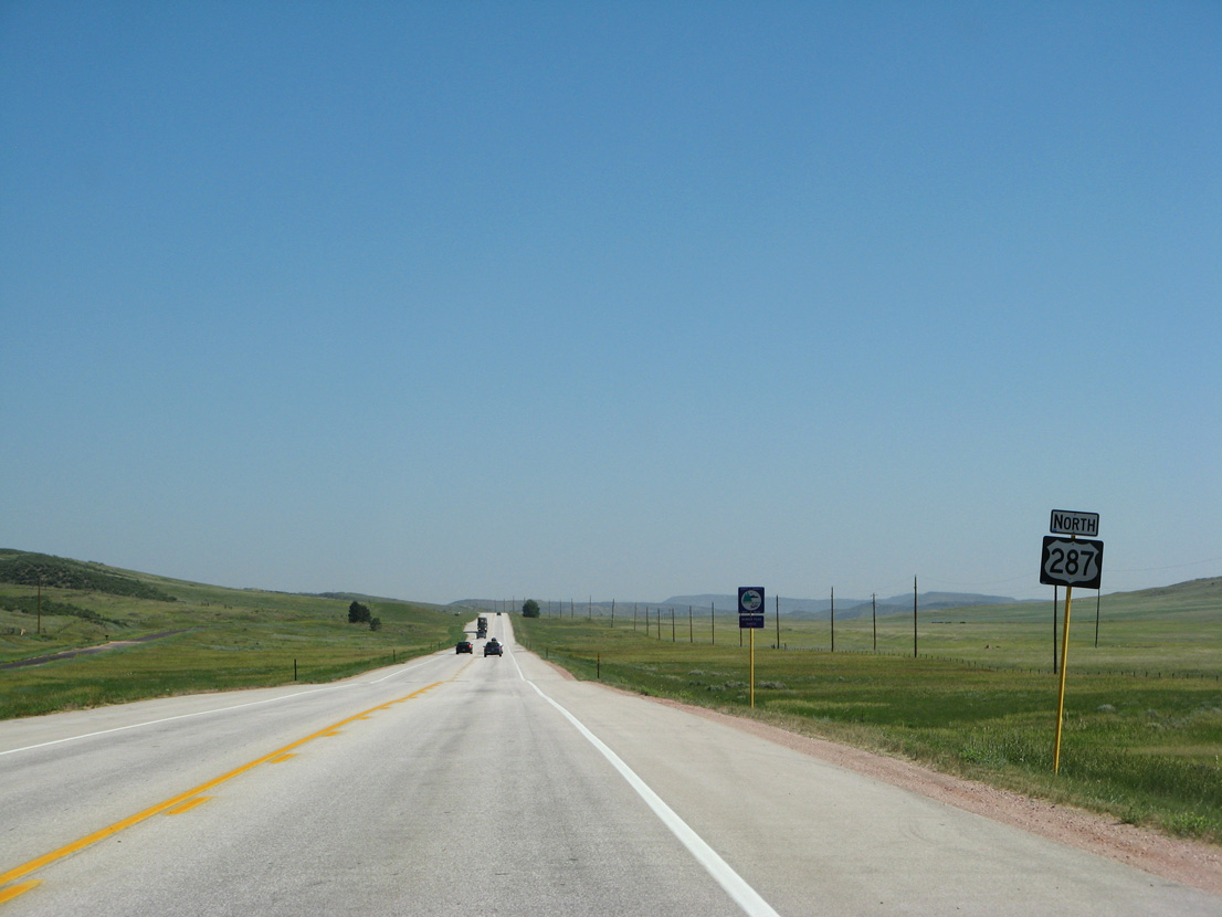
U.S. 287 enters the state of Wyoming just beyond Mud Creek and mile marker 385.
06/30/08
06/30/08
Photo Credits:
- Andy Field: 06/30/08
Page Updated Monday January 31, 2022.