
Former U.S. 301 South
These photos show the former alignment of U.S. 301 along Middletown Warwick Road southbound from Middletown to the Maryland state line. The U.S. 301 along First Responders Memorial Highway opened to traffic on January 10, 2019.
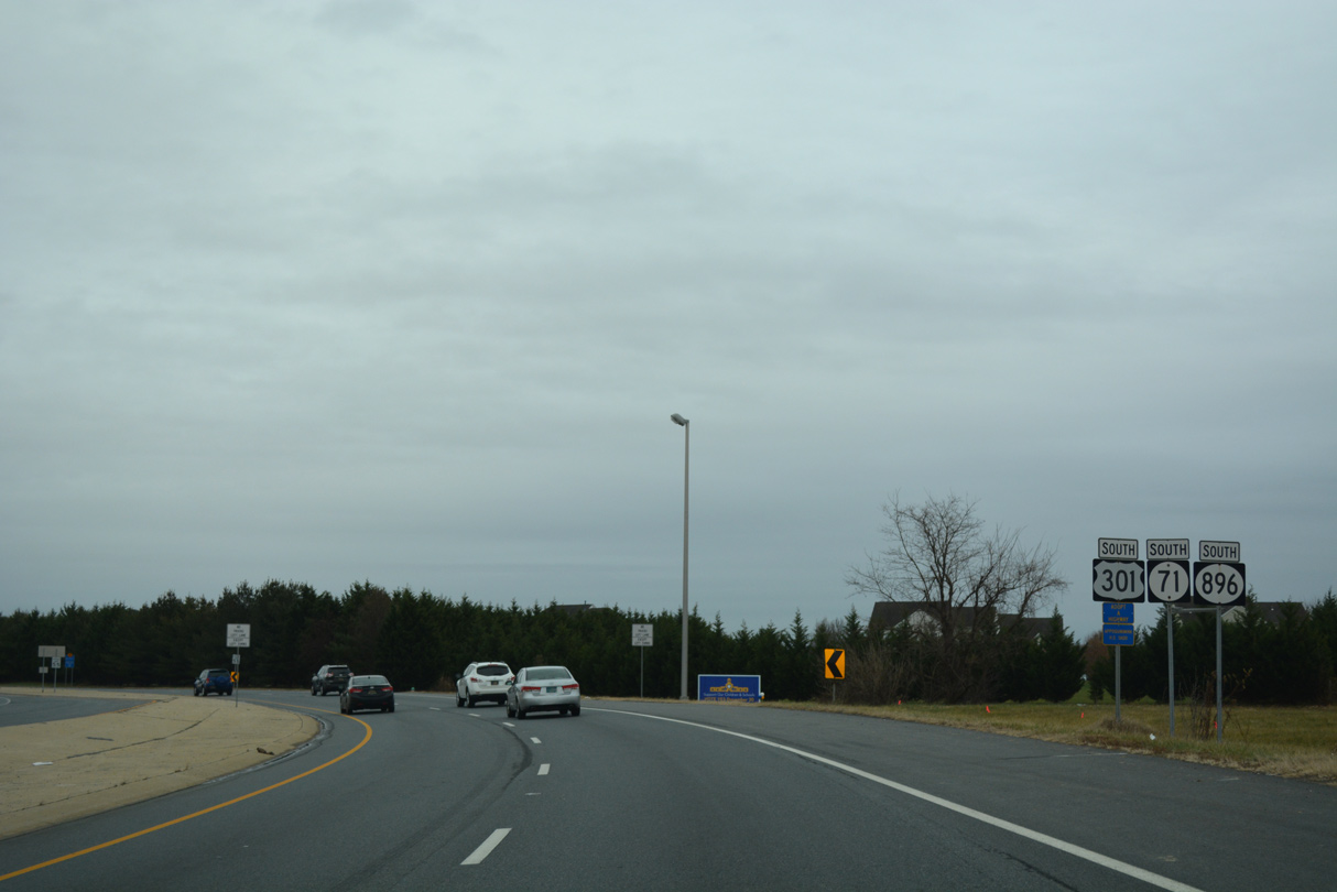
U.S. 301/SR 71-896 confirming markers that were posted south of SR 15 (Bethel Church Road) at Summit Bridge.
12/26/16
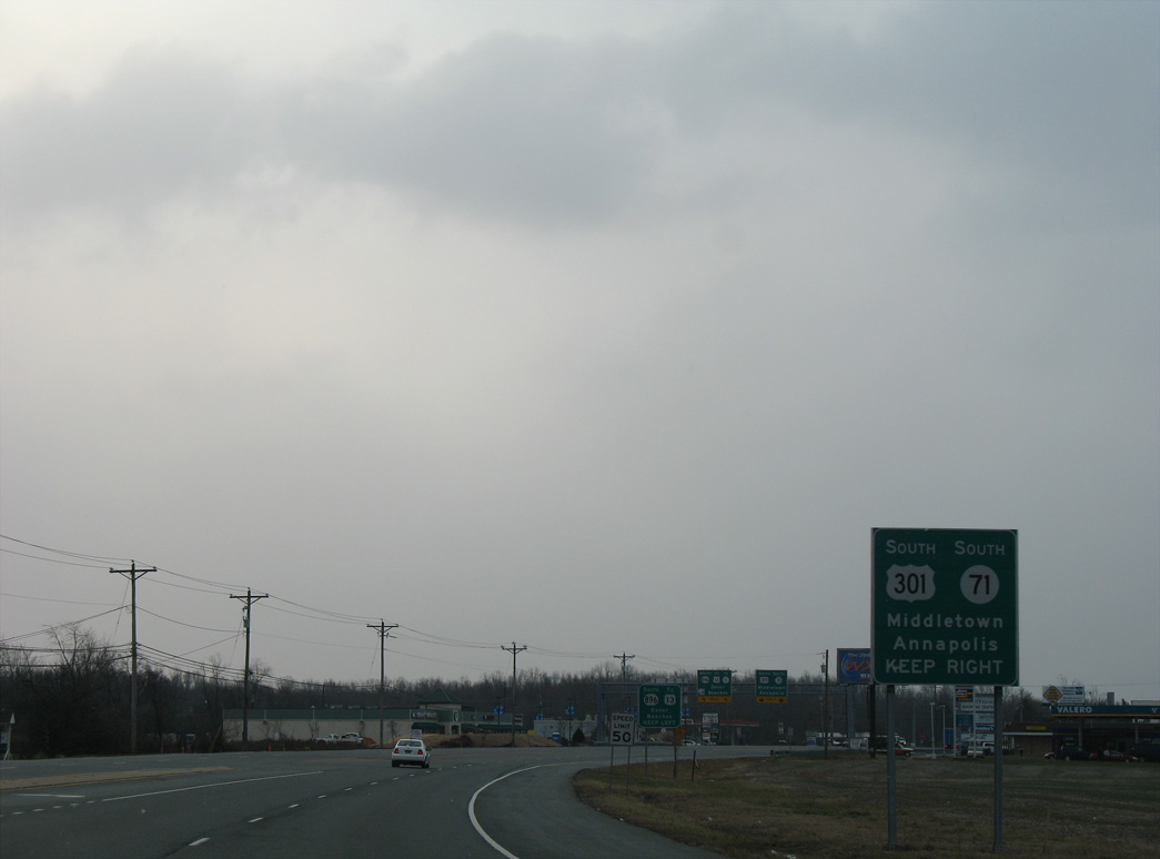
U.S. 301/SR 71 (Summit Bridge Road) split with SR 896 at Mount Pleasant.
01/02/08
SR 896 continues east along Boyds Corner Road to U.S. 13 at Boyds Corner.
12/26/16
SR 896 east from Summit Bridge Road at Mt. Pleasant to Boyds Corner was part of U.S. 301 until 1993.
12/26/16
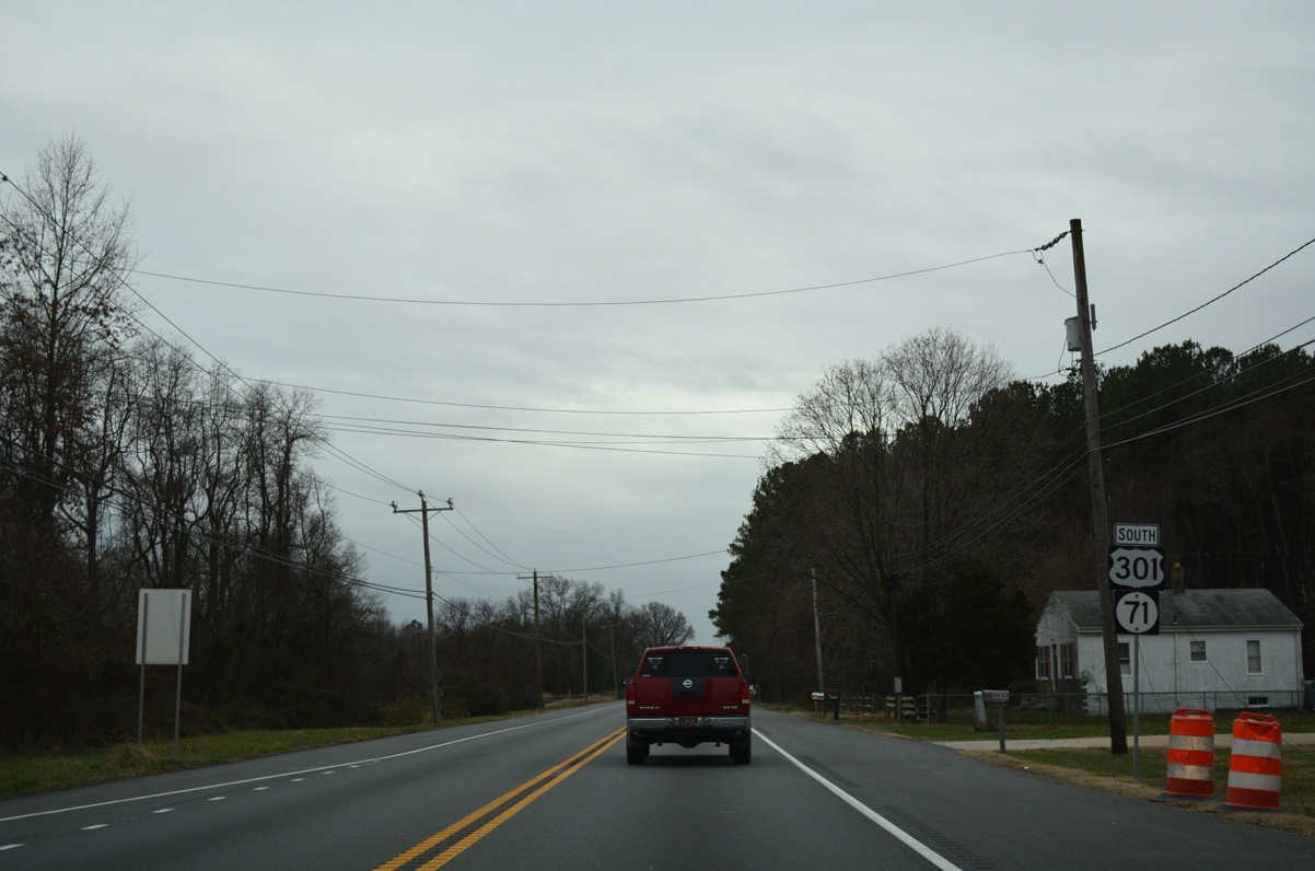
U.S. 301 and SR 71 continued south from SR 896 at Mount Pleasant to Middletown.
12/20/16
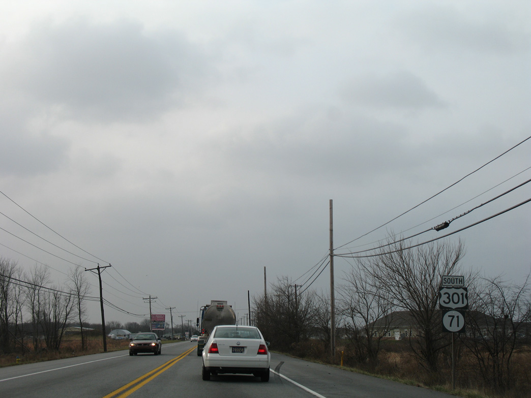
U.S. 301 and SR 71 shields formerly posted after the Summit Bridge Road intersection with Old School House Road.
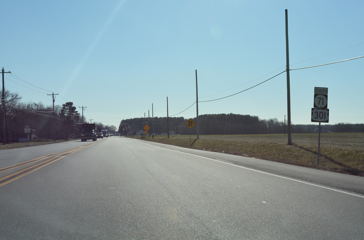
12/26/16
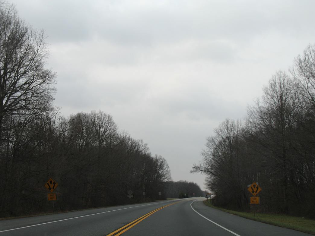
U.S. 301 and SR 71 south of Armstrong Corner Road.
01/02/08
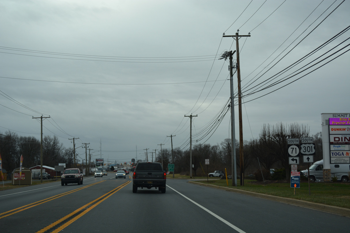
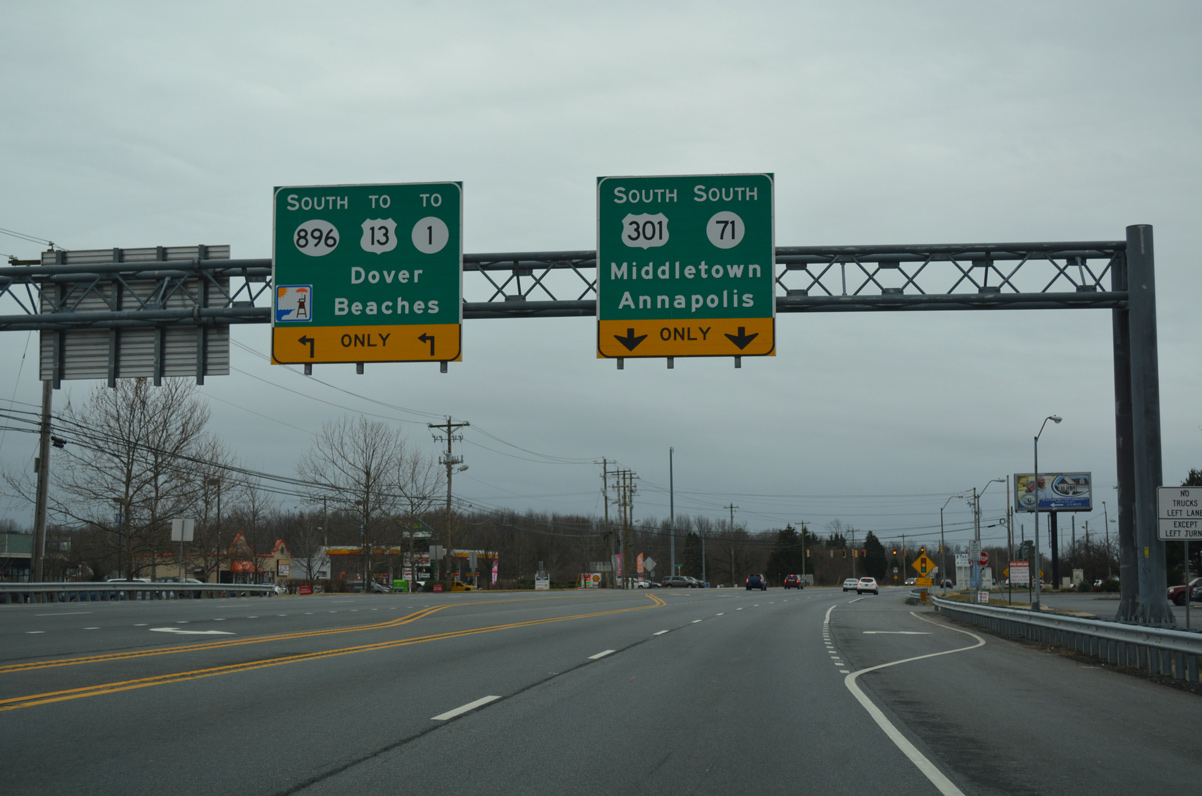
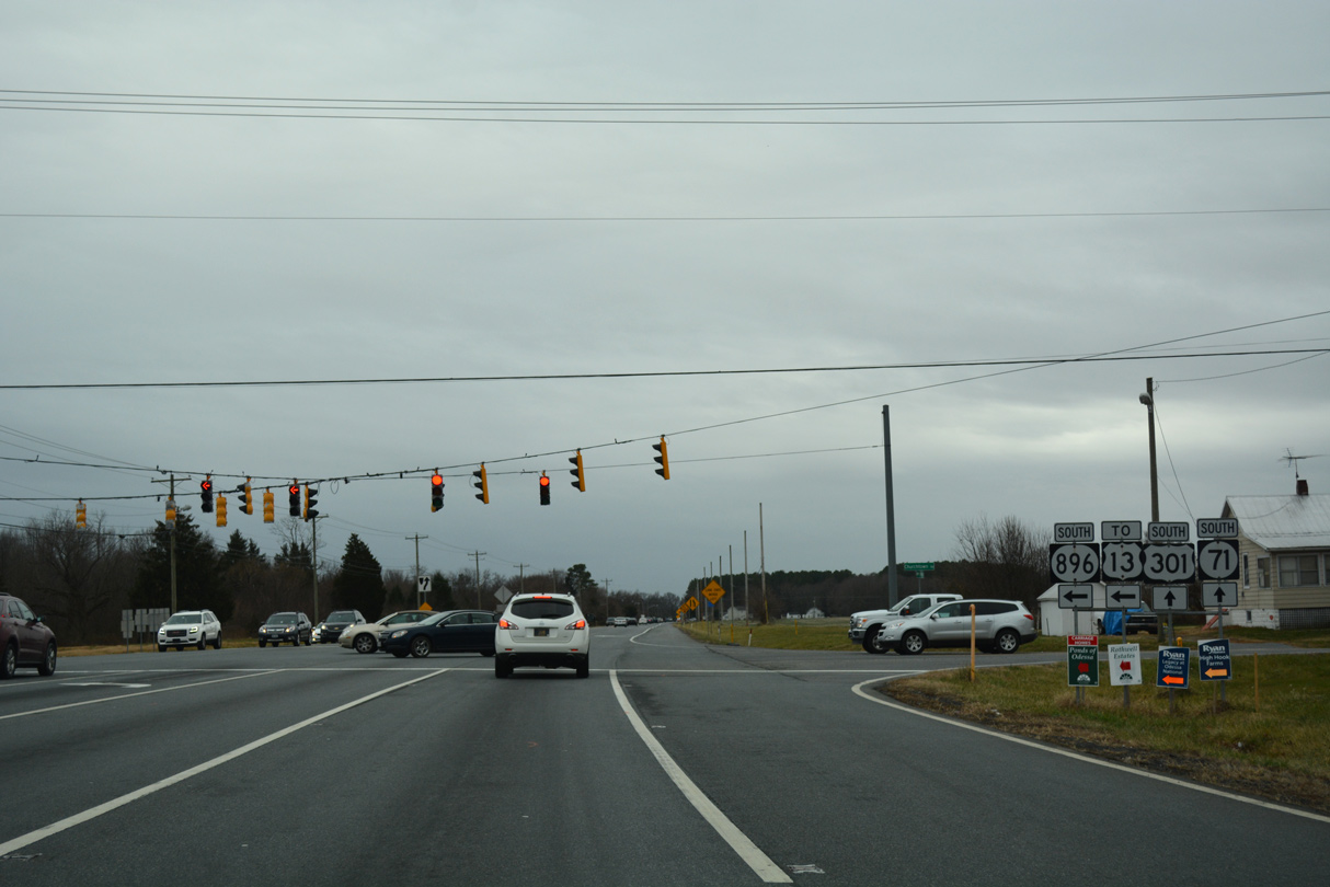
SR 71 split with U.S. 301 south for Broad Street to Downtown Middletown.
12/16/16
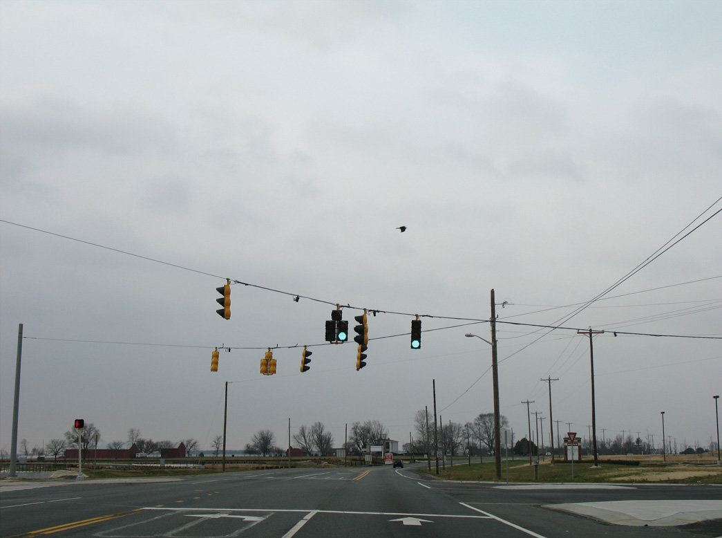
Traffic signals operate where SR 71 (N Broad Street) connects with Middletown Warwick Road southbound.
12/25/25
U.S. 301 expanded to a four lane commercial arterial between SR 71 and the south side of Middletown. Pictured here was a reassurance marker formerly posted south between N Broad Street and Ash Boulevard.
09/25/04
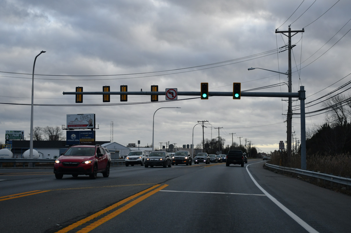
Traffic lights were added along Middletown Warwick Road (old U.S. 301) at Peterson Road south and Doc Levinson Drive west by 2013.
12/25/25
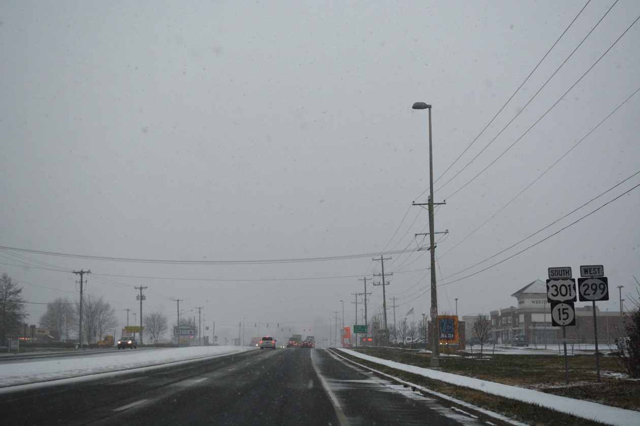
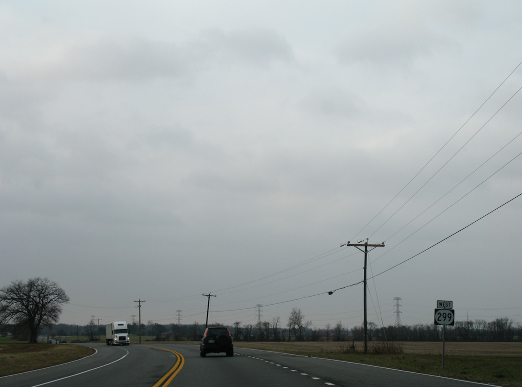
Curving southwest, U.S. 301 (Middletown Warwick Road) continued from Peterson Road to the signalized intersection with SR 15 (Bunker Hill Road) and SR 299 (W Main Street).
09/25/04
The arterial along Middletown Warwick Road (U.S. 301) was widened by 2008. SR 299 stems east along Main Street through Downtown Middletown.
01/02/08
Heading south from Casa Drive to SR 15 (Bunker Hill Road) and SR 299 (W Main Street) on Middletown Warwick Road (former U.S. 301) southbound.
12/25/25
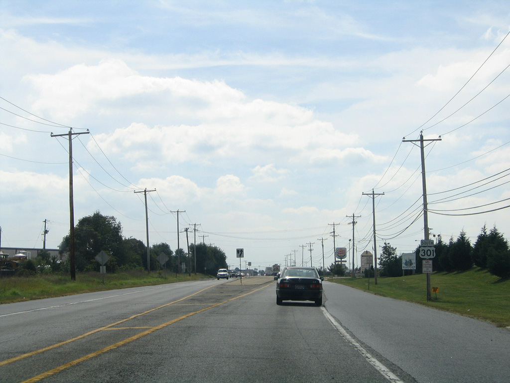
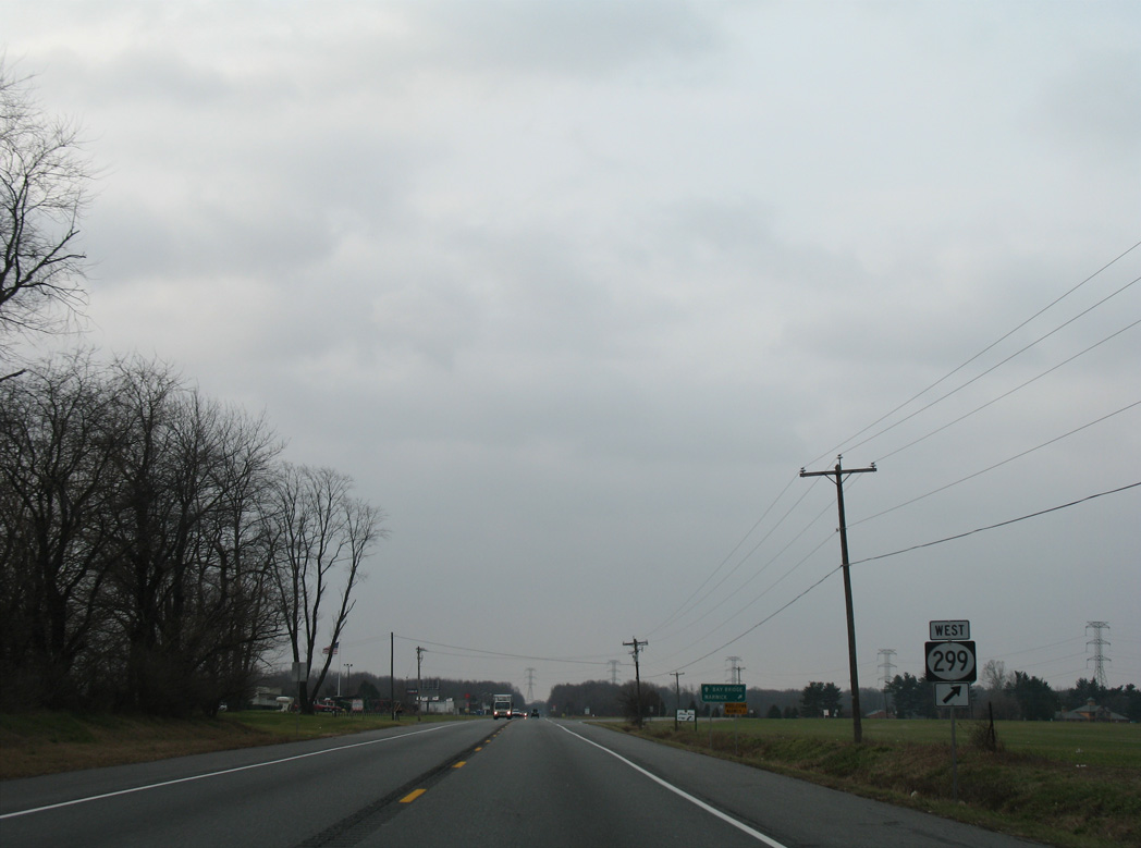
SR 299 extends 5.4 miles east from Middletown Warwick Road to SR 9 (Taylors Bridge Road) beyond Odessa.
09/25/04

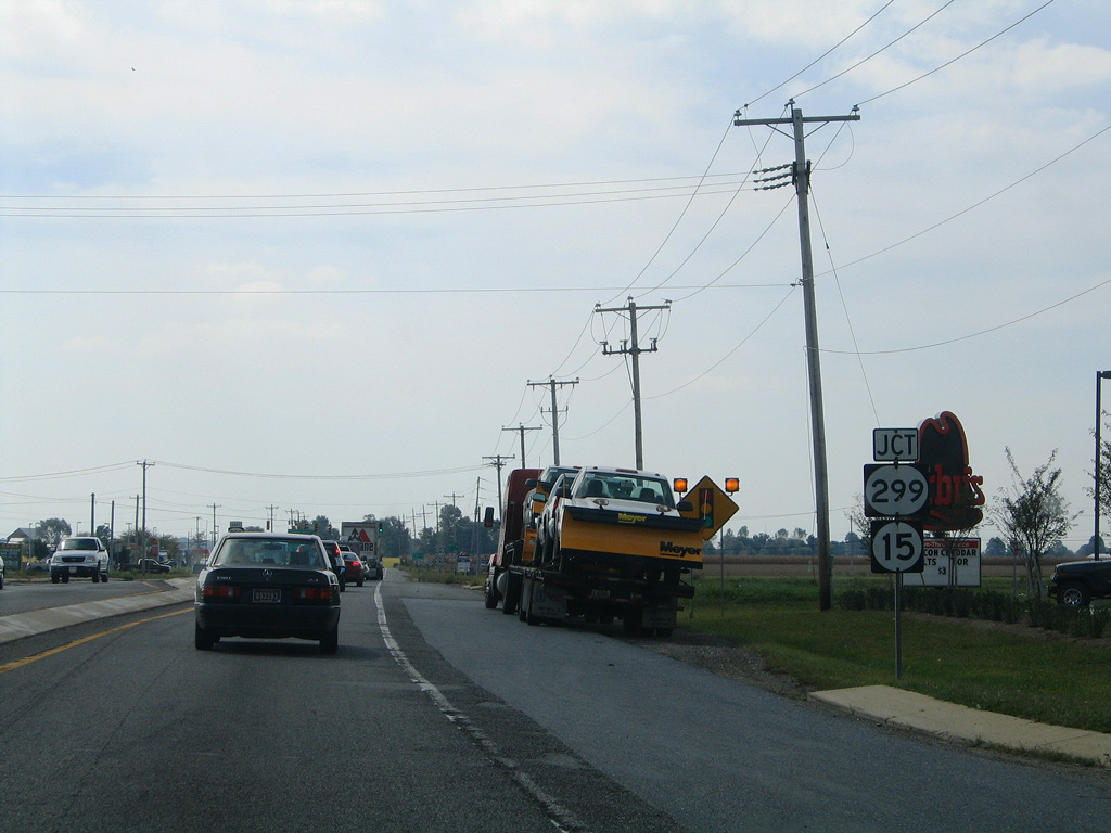
Construction in 2009 expanded U.S. 301 to four lanes at SR 299. The concrete median here was replaced with a grassy median.
01/02/08
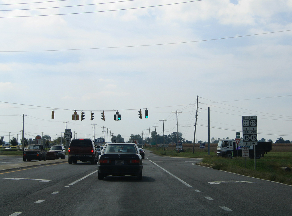
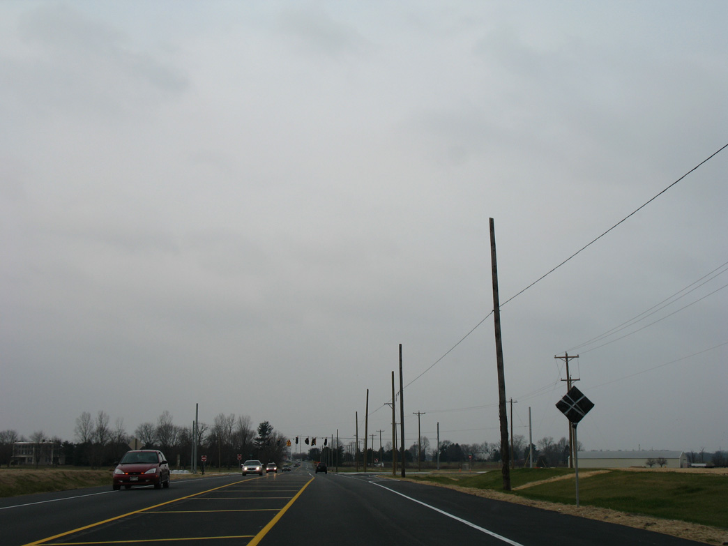
The previously semi-rural intersection of U.S. 301, SR 15 and SR 299 in Middletown.
09/25/04
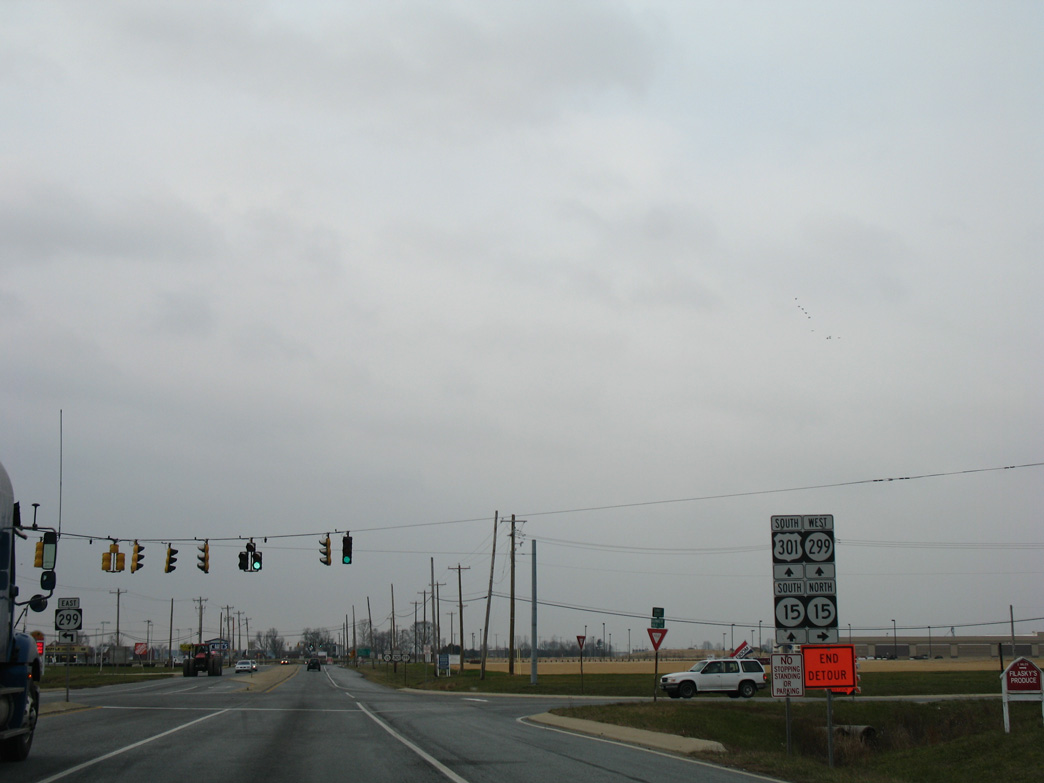
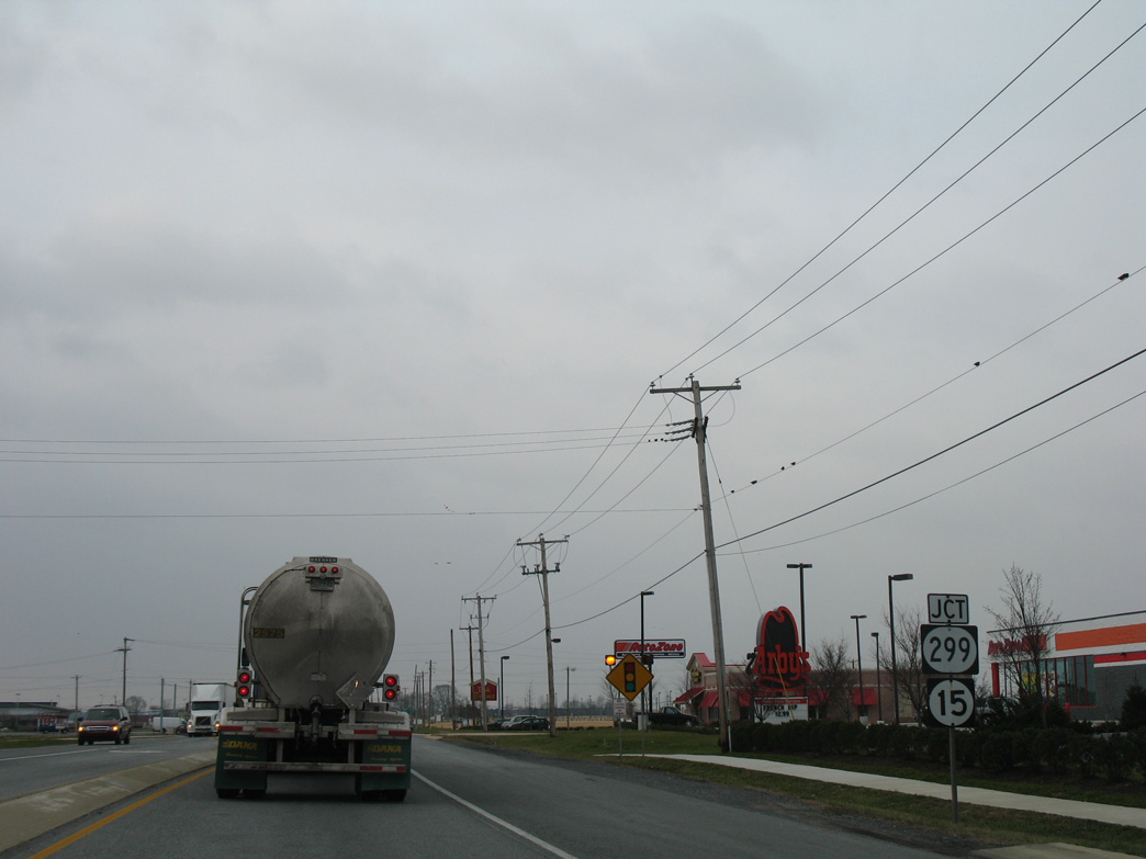
U.S. 301 changed with subsequent expansion of the arterial to four lanes and additional retail development. Signage and signals here were replaced during 2009 road work.
01/02/08
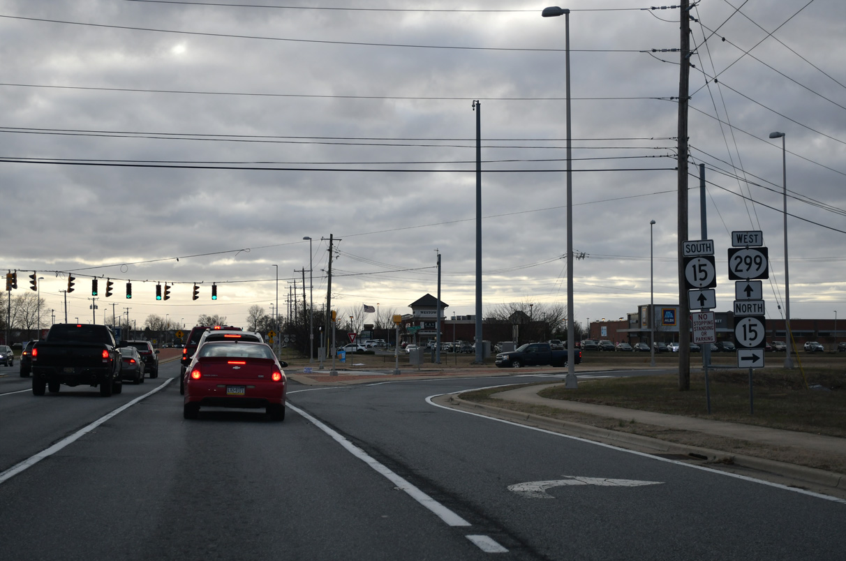
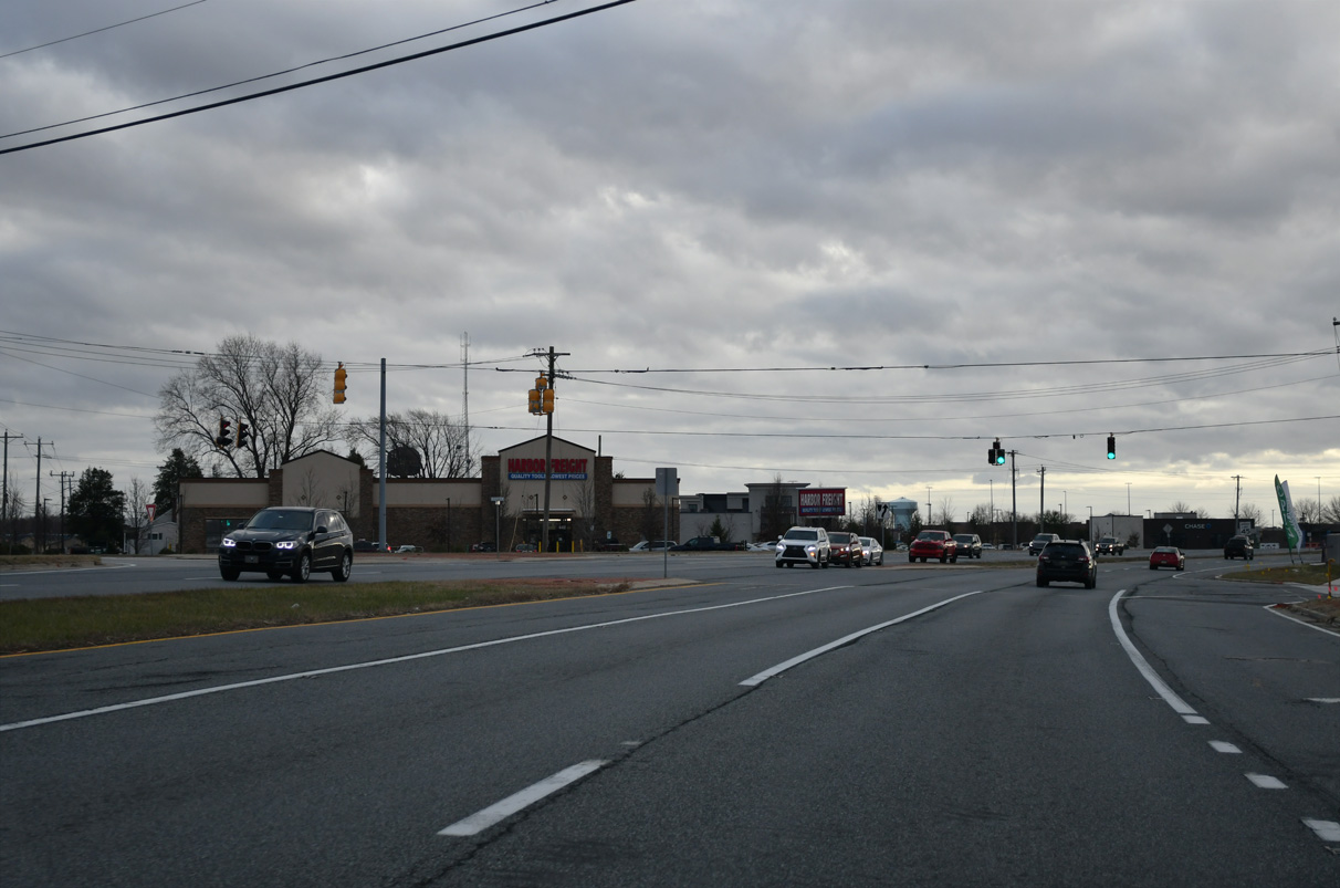
SR 15 enters Middletown along an L-shaped route along Choptank and Bunker Hill Roads. Heavy development lines the route west.
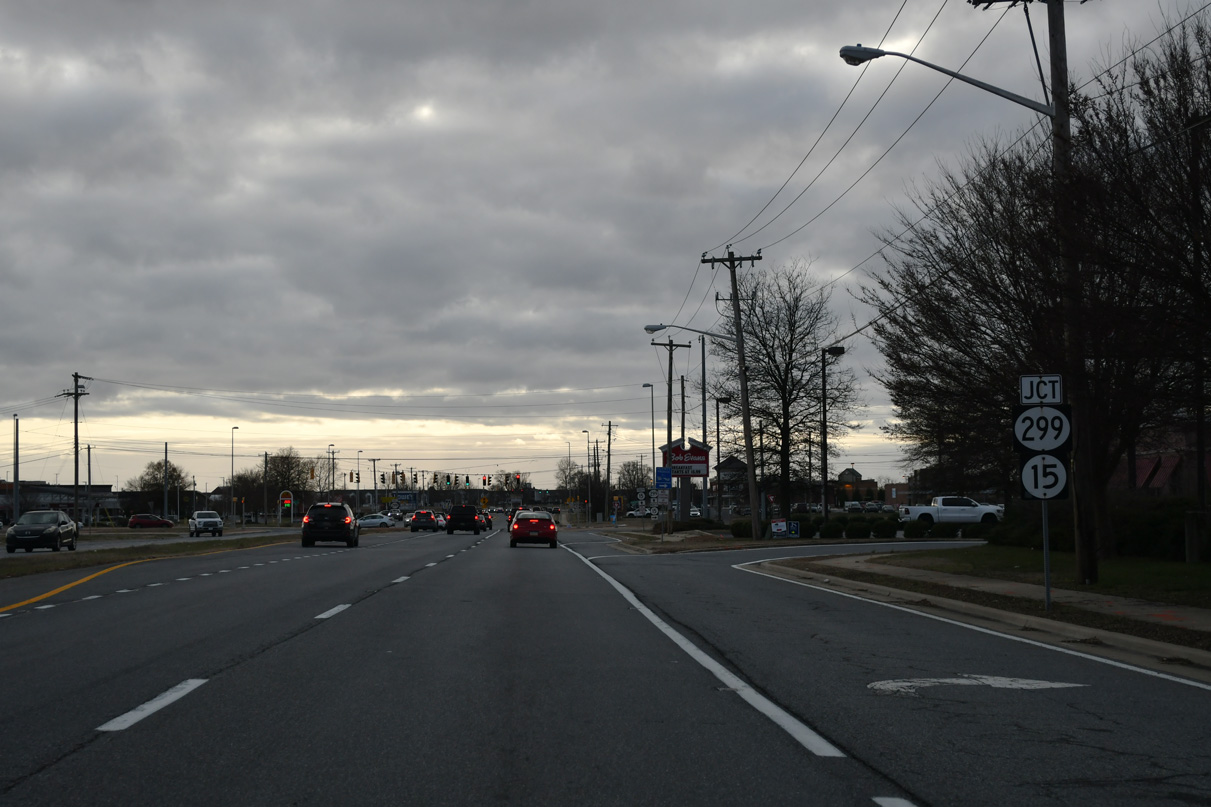
12/25/25
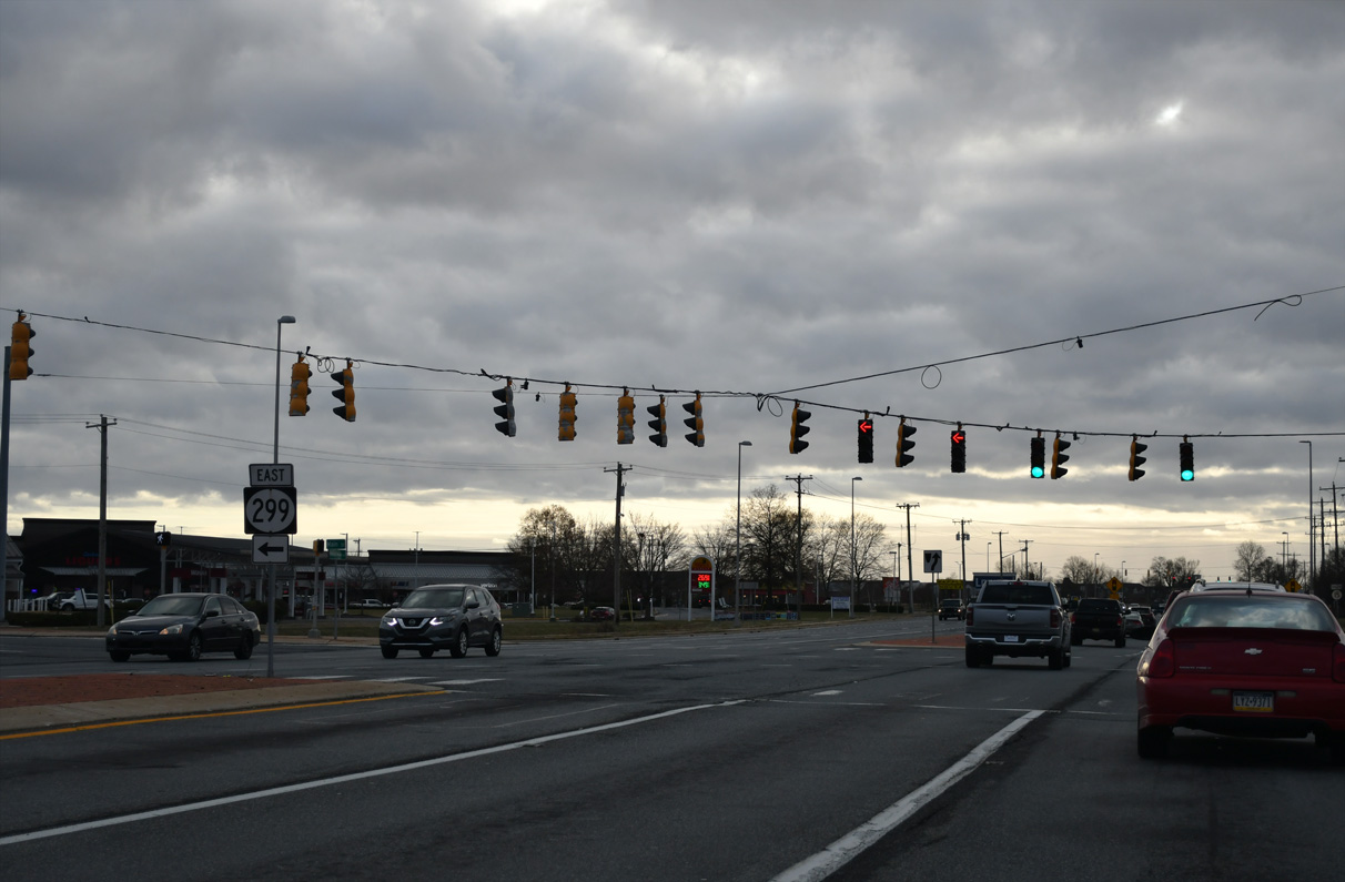
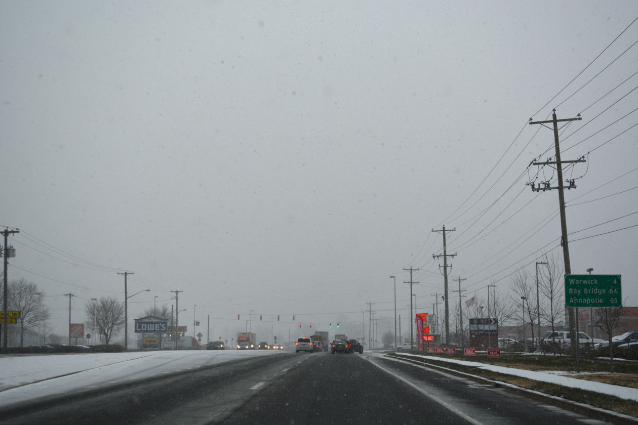
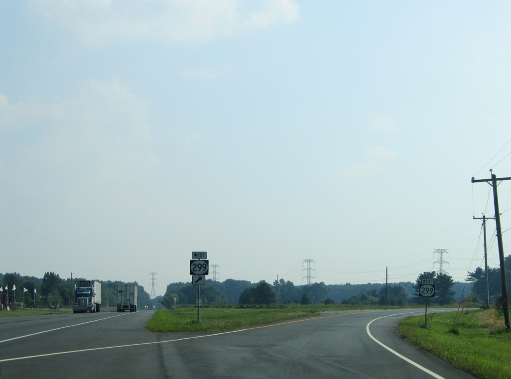
SR 299 leads east 2.8 miles to SR 1 (Korean War Veterans Memorial Highway) and 3.7 miles to U.S. 13 (Dupont Highway) in Odessa.
12/29/24

 South
South  West
West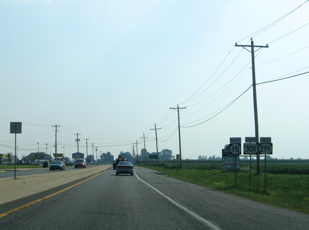
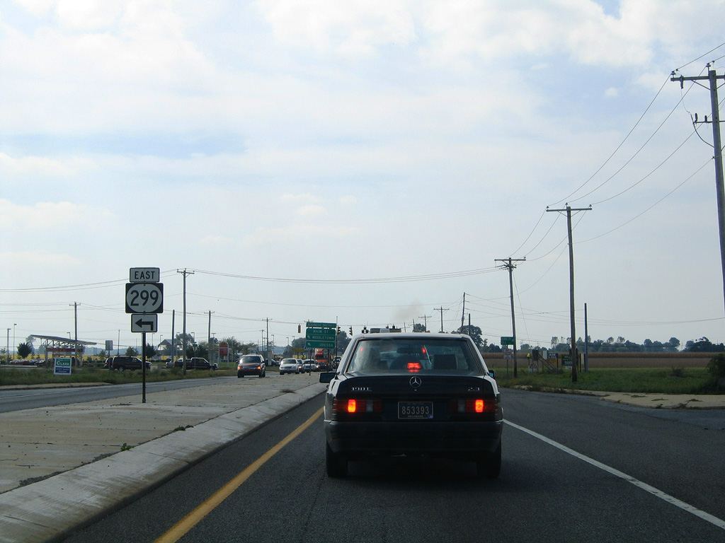
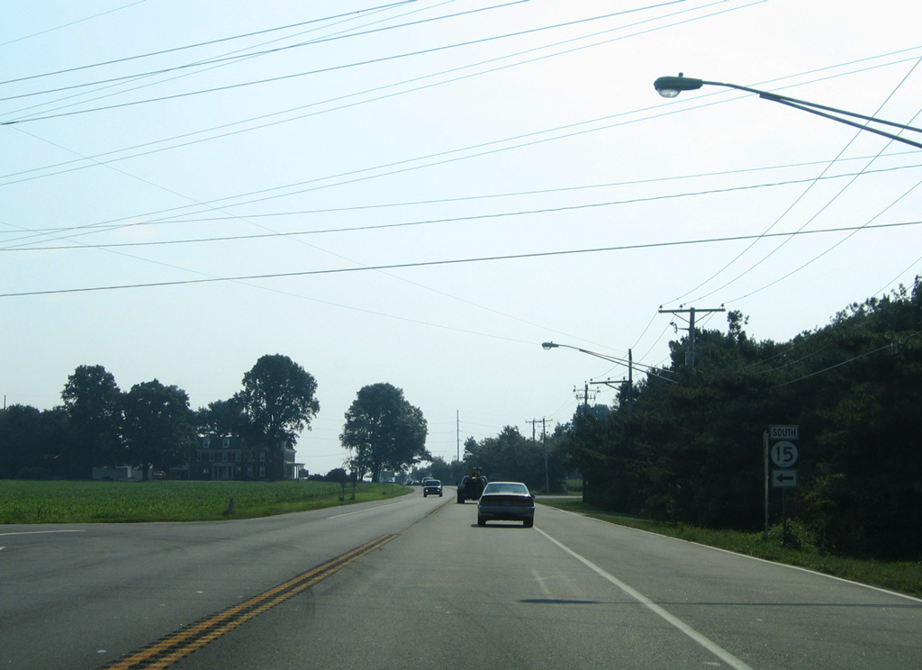
SR 15 south / SR 299 west combined with U.S. 301 south 1.1 miles to Levels Road. Pictured here were the reassurance shields for the overlap along a previously rural stretch of Middletown Warwick Road.
08/10/04
U.S. 301/SR 15-299 (Middletown Warwick Road) expanded to a four lane, divided arterial.
12/15/17
Distance sign posted for SR 299 west to Warwick and U.S. 301 south to Annapolis via the Chesapeake Bay Bridge (U.S. 50).
12/15/17
Development of the Middletown Business and Technology Park and Middletown Auto Mall ties into SR 15-299 at the signalized intersection with Diamond State Boulevard.
01/02/08
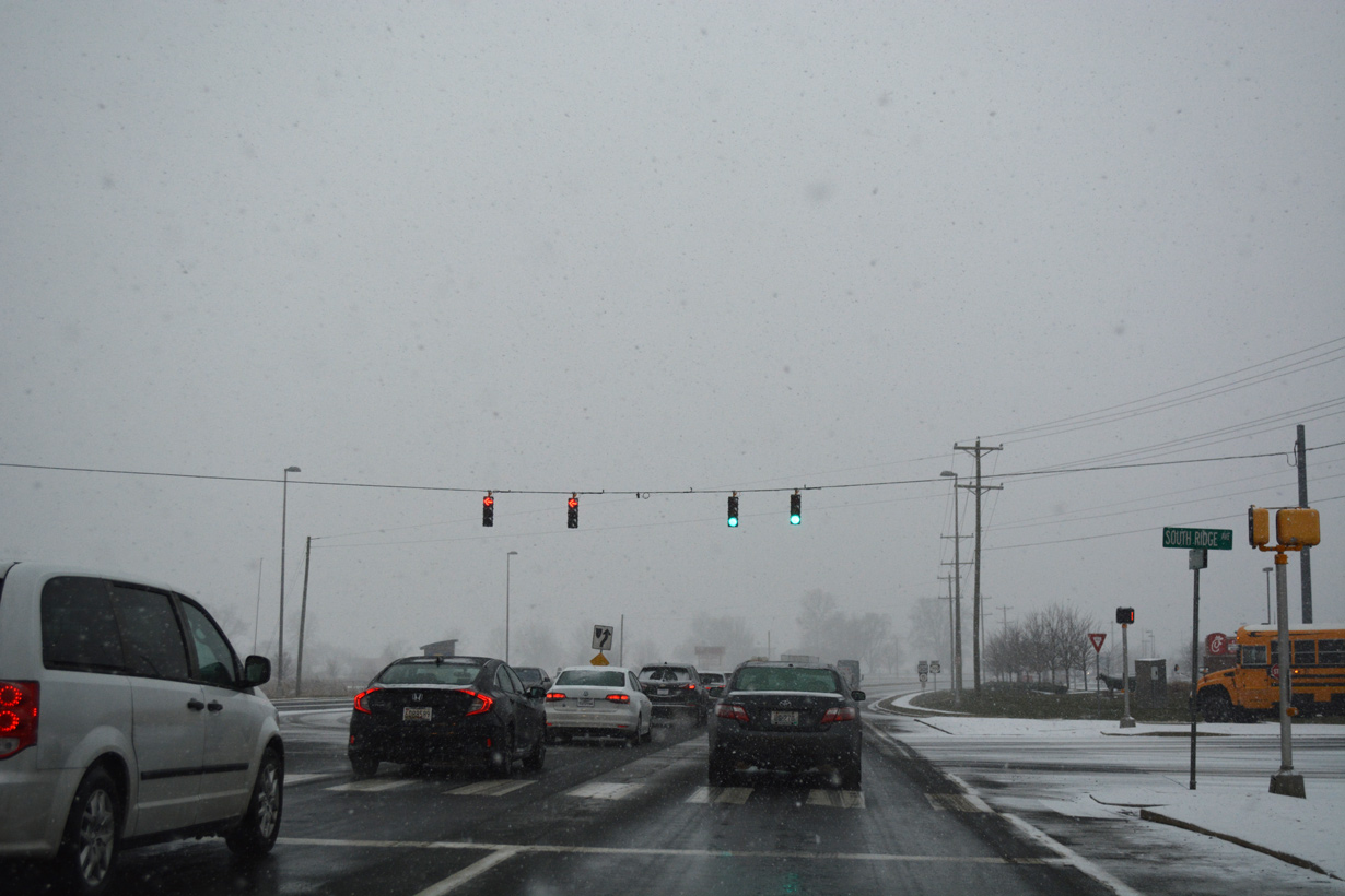
South Ridge Drive extends west from Diamond State Boulevard to adjacent big box retail and the Southridge community.
12/15/17
A short distance south of Diamond State Boulevard is the intersection with Merrmiac Avenue.
12/15/17
Merrimac Avenue was constructed by 2008 to service new development both north and south of U.S. 301 and SR 15-299.
01/02/08
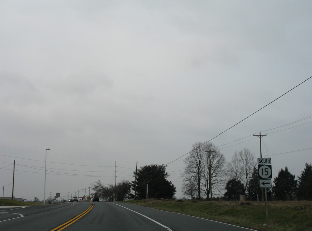
Reassurance markers posted south of Merrimac Avenue.
12/15/17

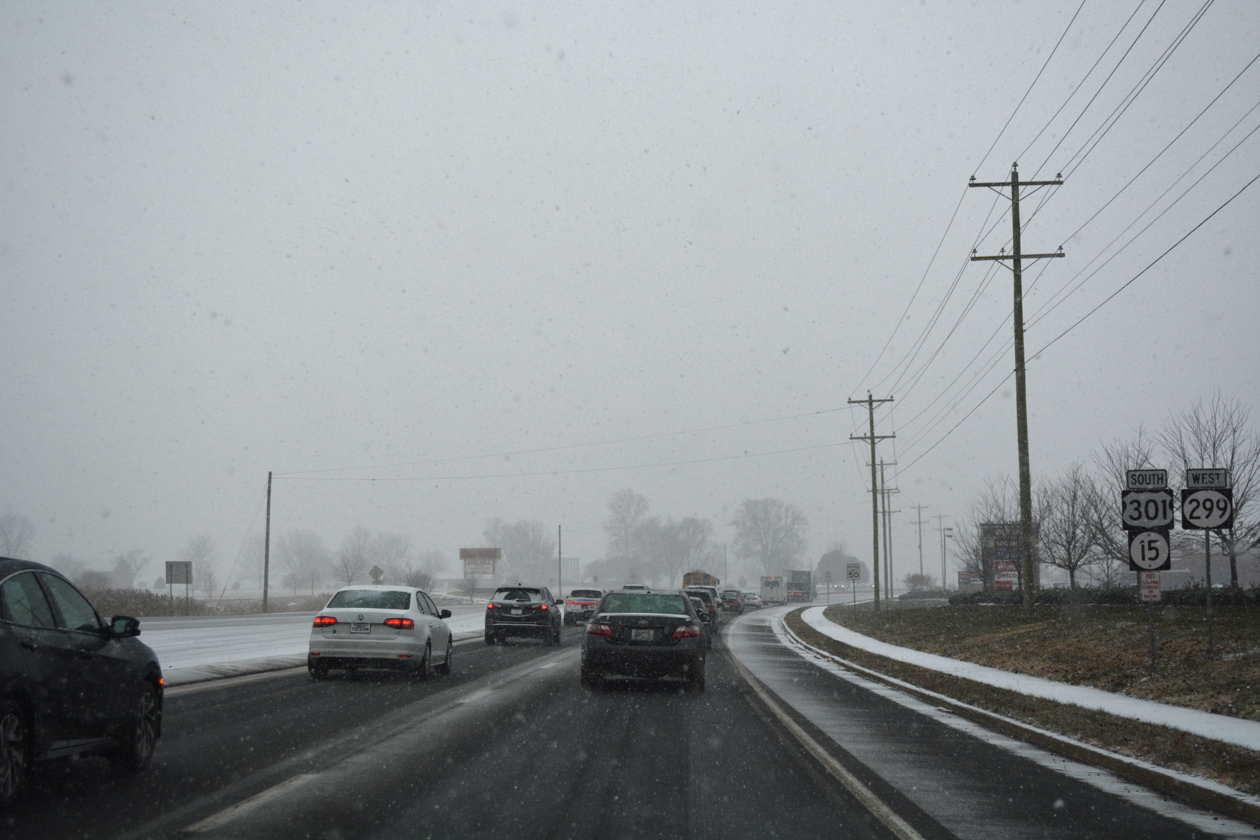
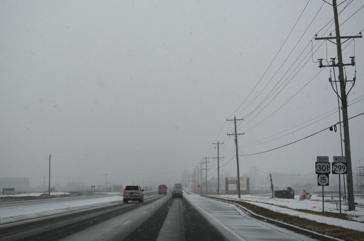
SR 299 was relocated northward in 2017 during construction of the First Responders Memorial Highway for U.S. 301. SR 299 split with U.S. 301 opposite SR 15 south on Levels Road.
12/15/17
SR 15 (Levels Road) previously split with U.S. 301 south / SR 299 west at this intersection. The former alignment is now a multi-use path.
08/10/04
U.S. 301 south at the former split with SR 15 (Levels Road) prior to four-laning of Middletown Warwick Road. Established by 1993, SR 15 utilizes Levels Road, Dogtown Road, Blackbird Station Road, Dexters Corner Road, and Vandyke Greenspring Road on a convoluted route toward the town of Smyrna.
01/02/08
South West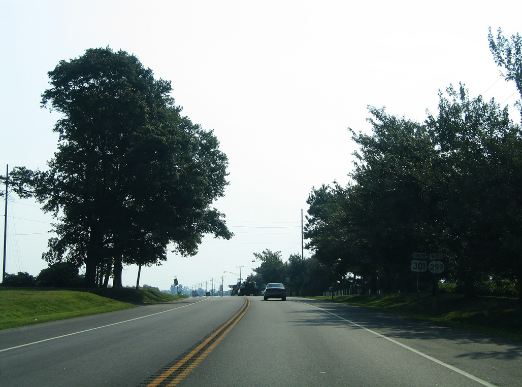
This set of shields was posted after the original U.S. 301 intersection with Levels Road (SR 15).
08/10/04
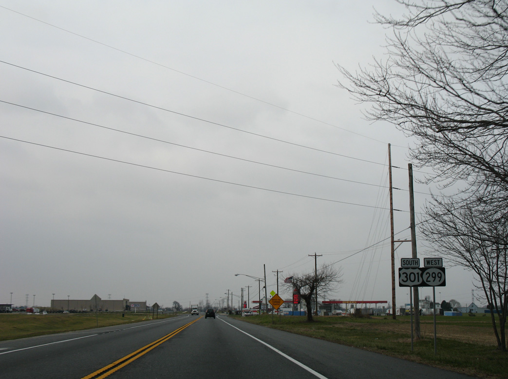
Construction in 2007 relocated SR 15 (Levels Road) 850 feet to the west to eliminate the angle of the previous intersection with U.S. 301/SR 299. The relocation provided a safer intersection and worked in conjunction with the widening of Levels Road between Middletown Warwick Road and Patriot Drive.1 Pictured here were new shields posted along U.S. 301/SR 299 south after the split with SR 15.
01/02/08
SR 299 westbound reassurance shield, replaced by 2012, along Middletown Warwick Road south after Middle Neck Road. Middle Neck Road stems northwest onto Middle Neck between Little and Great Bohemia Creeks in Maryland.
01/02/08
SR 299 branched 0.6 miles west from U.S. 301 along Warwick Road to become MD 282 through Warwick.
01/02/08
U.S. 301 south at the original separation with SR 299 west on Warwick Road. SR 299 was originally an extension of MD 299 until Maryland truncated that route southwest to Sassafras and U.S. 301. U.S. 301 crossed the state line in 1.2 miles and intersected the north end of MD 299 in 3.7 miles.
08/10/04
South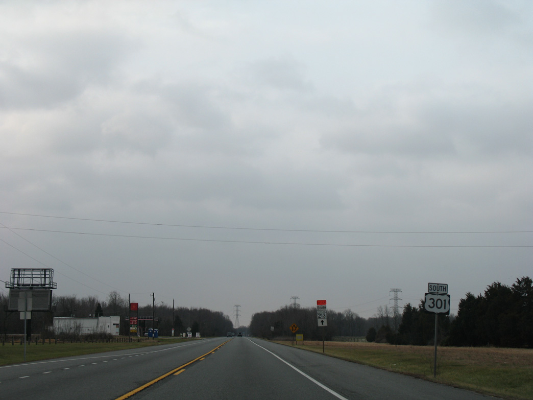
Beyond SR 299, U.S. 301 (Middletown-Warwick Road) traveled independent of another route for only the second time along the 15 mile course between Glasgow and the Maryland state line. U.S. 301 along First Responders Memorial Highway overtakes the original four lane alignment into Maryland nearby.
01/02/08
U.S. 301 (Middletown Warwick Road) expanded to four lanes just ahead of the Maryland state line beyond Strawberry Lane. Centerline rumble strips preceding this stretch of U.S. 301 were added in a mid 2000s DelDOT project aimed to reduce the number of head on collisions due to drowsy drivers drifting into the oncoming lane of traffic.
01/02/08
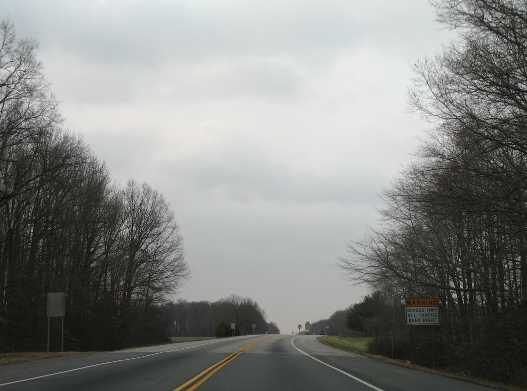
The pavement changed as U.S. 301 crossed into southeastern Cecil County, Maryland. U.S. 301 advances southwest along a four lane expressway to the Chesapeake Bay Bridge (U.S. 50) and capital city of Annapolis.
The warning sign posted here was removed by 2014.
01/02/08
References:
- "TRAFFIC ALERT - Reconstruction of Levels Road Beginning on Saturday, June 16." Delaware Department of Transportation (DelDOT) press release, June 13, 2007.
Photo Credits:
- Alex Nitzman: 08/10/04, 09/25/04, 01/02/08, 12/16/16, 12/20/16, 12/26/16, 12/29/24, 12/25/25
- ABRoads: 12/15/17
Connect with:
Page Updated Thursday January 08, 2026.