
U.S. 301 South - Bowling Green to Hanover


 South
South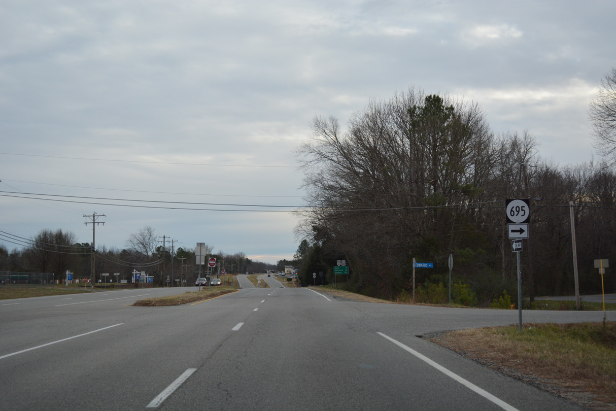
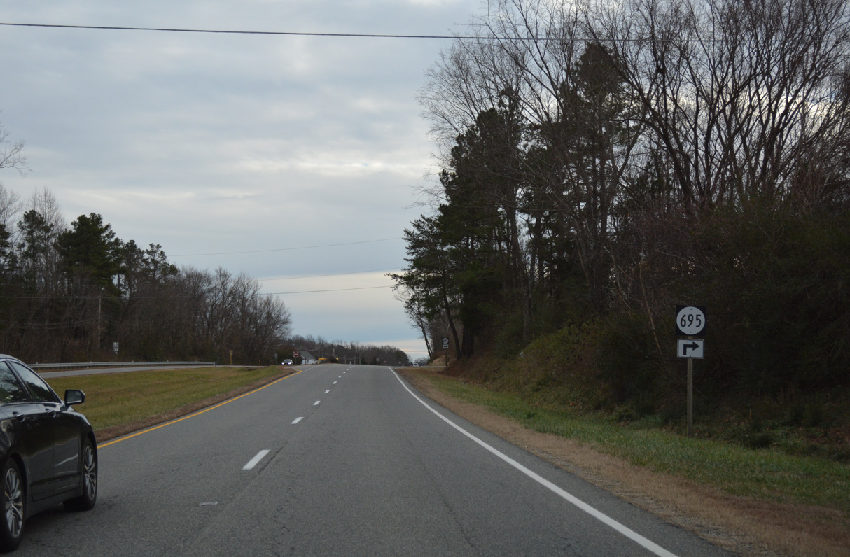
SR 695 (Edwards Road) loops west from U.S. 301/SR 2 (Richmond Turnpike) to a series of residential streets.
12/31/16
12/31/16
12/31/16
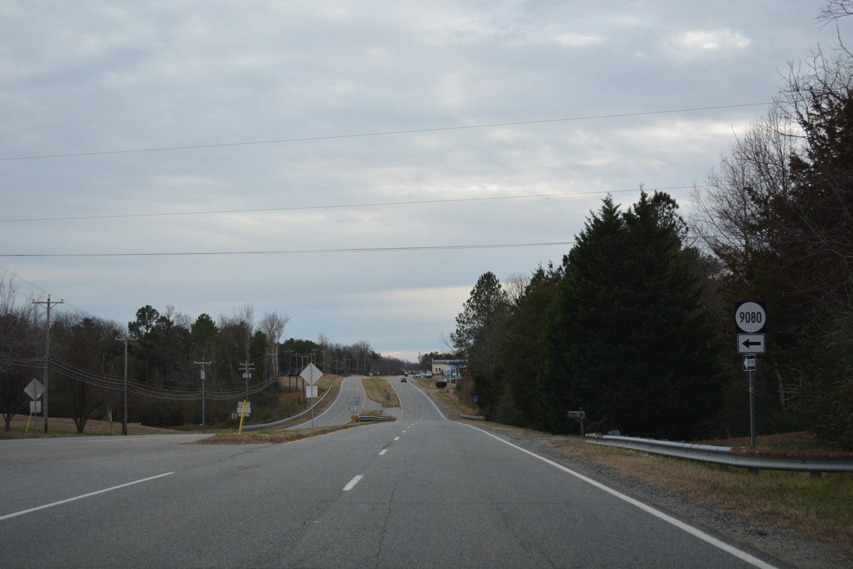
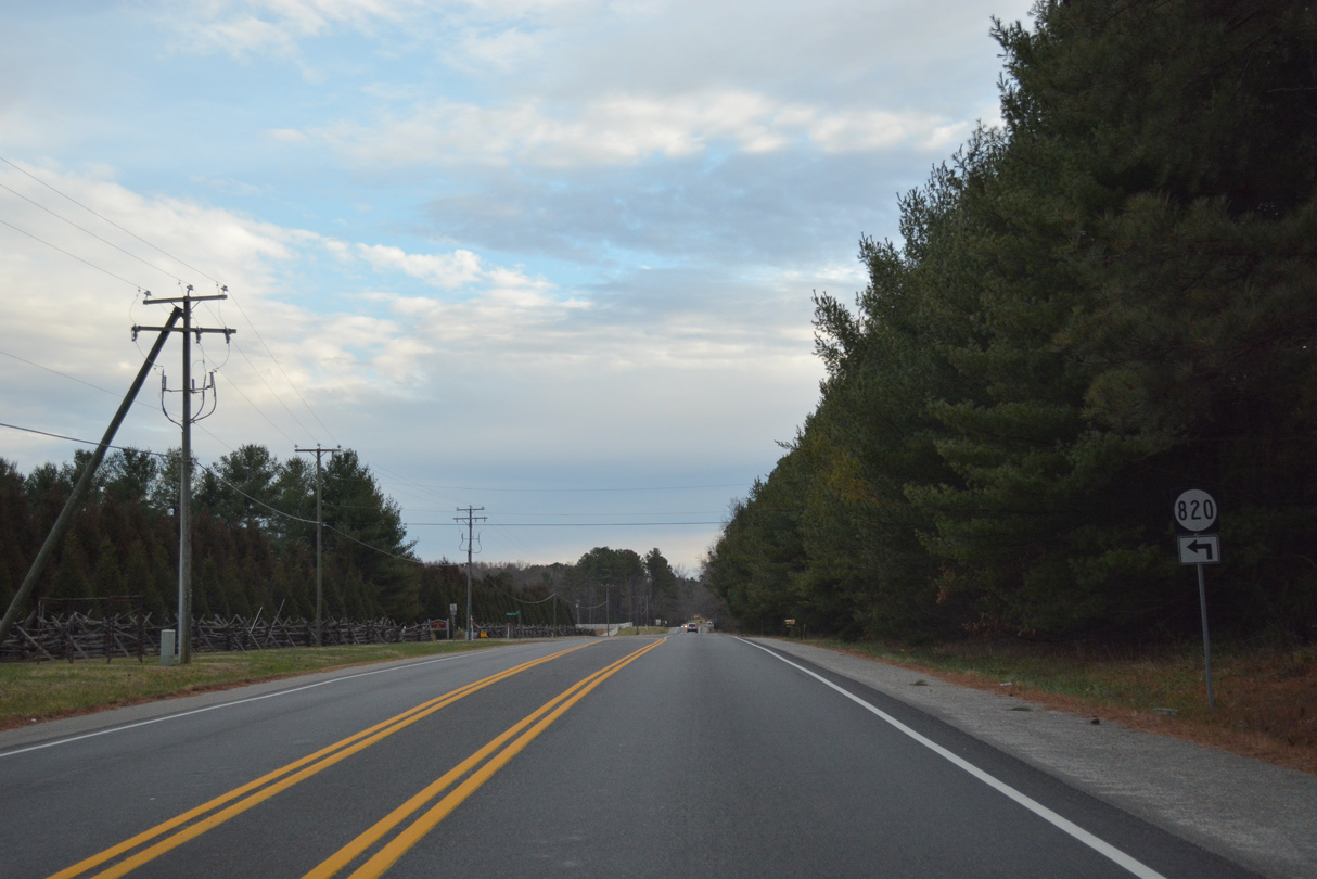
SR 9080 is Joe Adams Drive east of U.S. 301/SR 2.
12/31/16
12/31/16
12/31/16
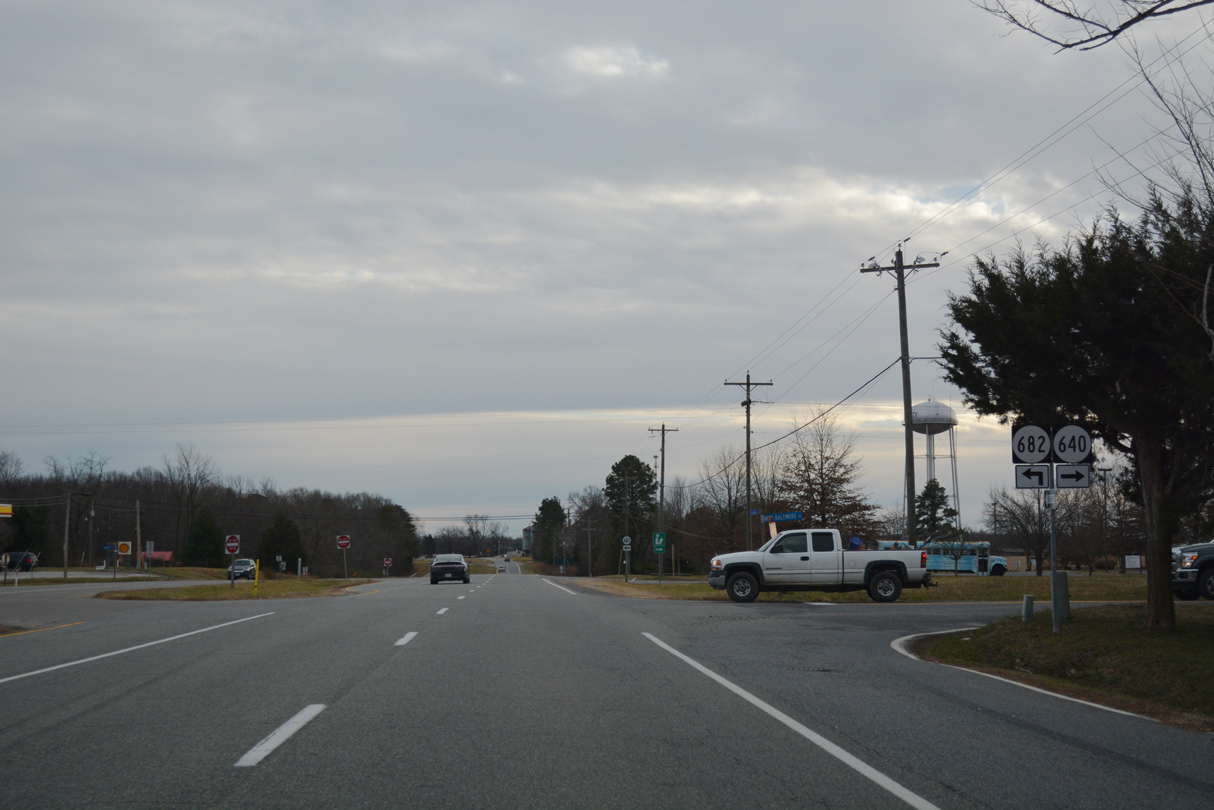
SR 640 heads west from U.S. 301/SR 2 along New Baltimore Road 1.92 miles to SR 628 (Antioch Road) at the unincorporated community of Milford.
12/31/16
12/31/16
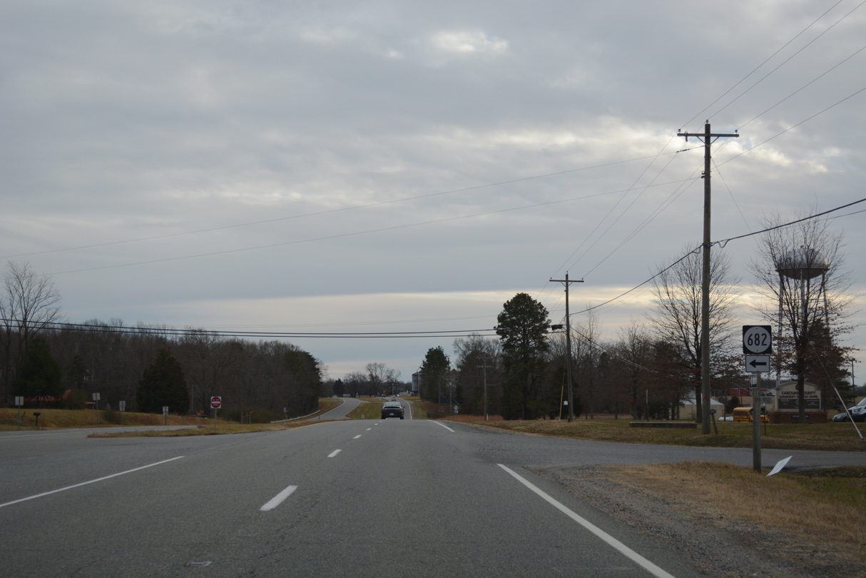
SR 682 spurs southeast from U.S. 301/SR 2 along Beazley Lane.
12/31/16
12/31/16
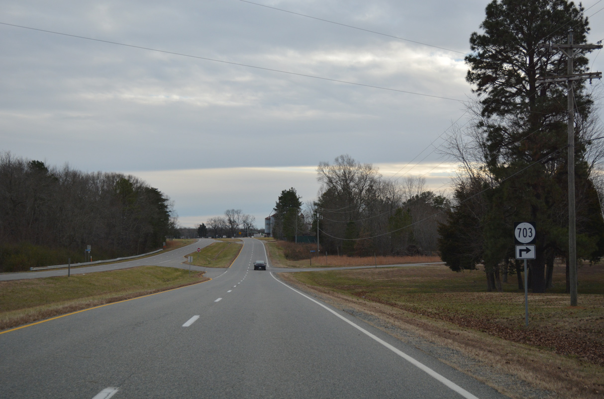
SR 703 is Cannery Road west from U.S. 301/SR 2.
12/31/16
12/31/16
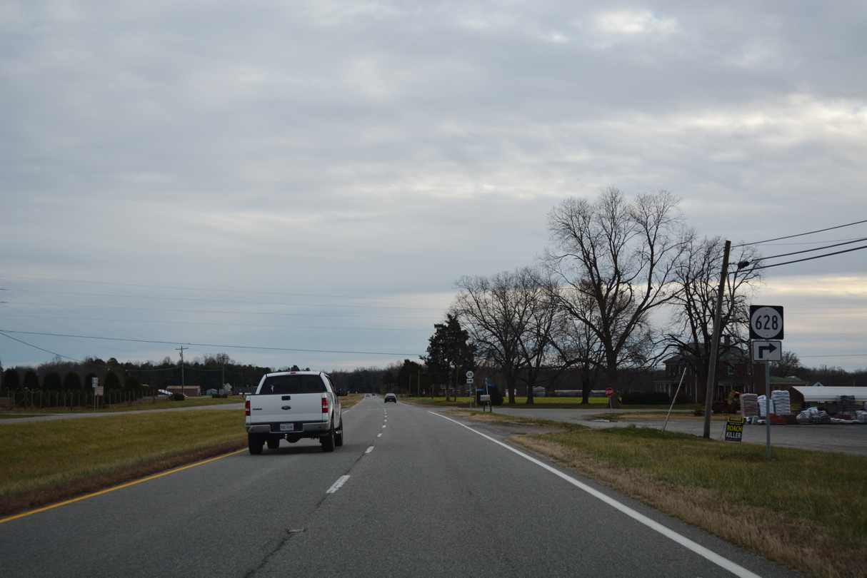
SR 628 (Antioch Road) arcs 2.18 miles westward from U.S. 301/SR 2 at Antioch Fork to SR 722 (Nelson Hill Road) at Milford.
12/31/16
12/31/16
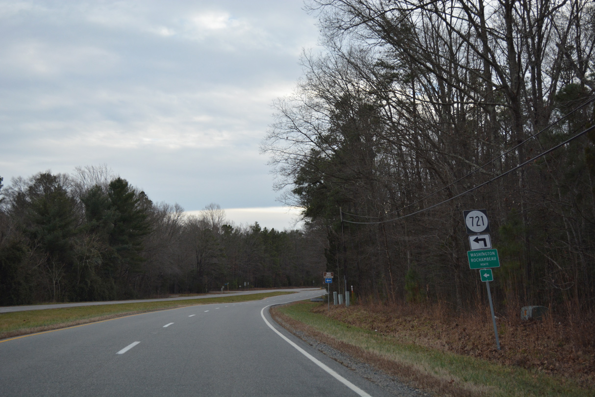
SR 721 (Sparta Road) is a part of the Washington Rochambeau Route, a Virginia Byway leading southeast through King and Queen County.
12/31/16
12/31/16
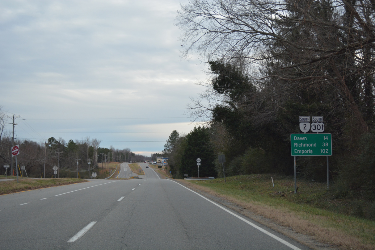
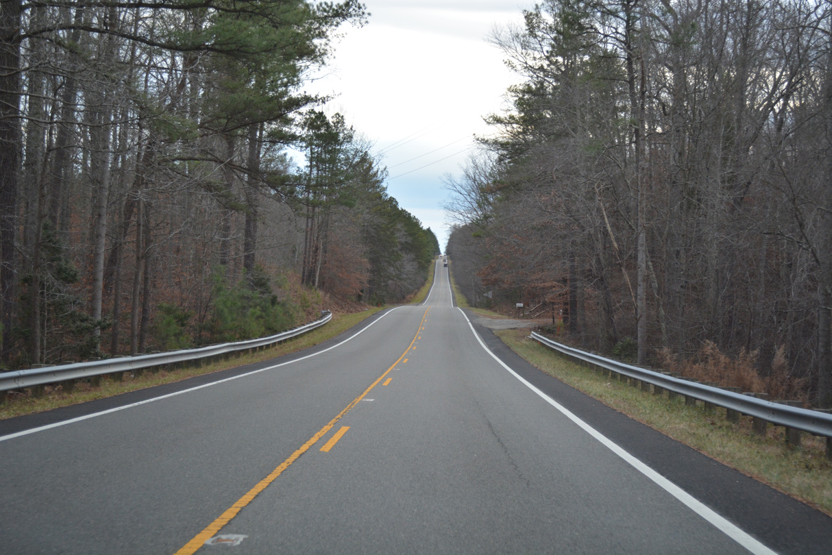
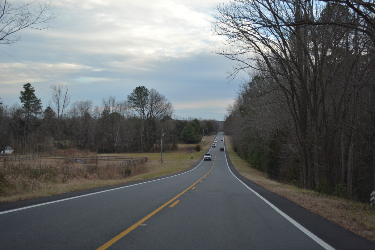
U.S. 301/SR 2 (Richmond Turnpike) narrow to two lanes south of New Market Lane near DeJarnette.
12/31/16
12/31/16
12/31/16
12/31/16
12/31/16
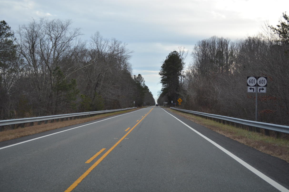
SR 601 angles southeast from Penola to cross U.S. 301/SR 2 ahead of Campbells Corner and Reedy Mill.
12/31/16
12/31/16
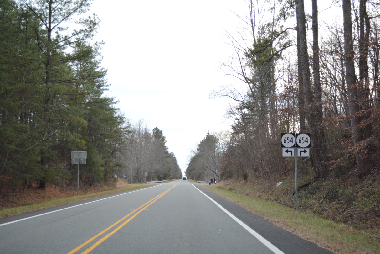
SR 654 links U.S. 301/SR 2 with SR 601 (Reedy Mill Road) along Burkes Bridge Road to the east. Moores Mill Road extends SR 654 west to Kemp Corner.
12/31/16
12/31/16
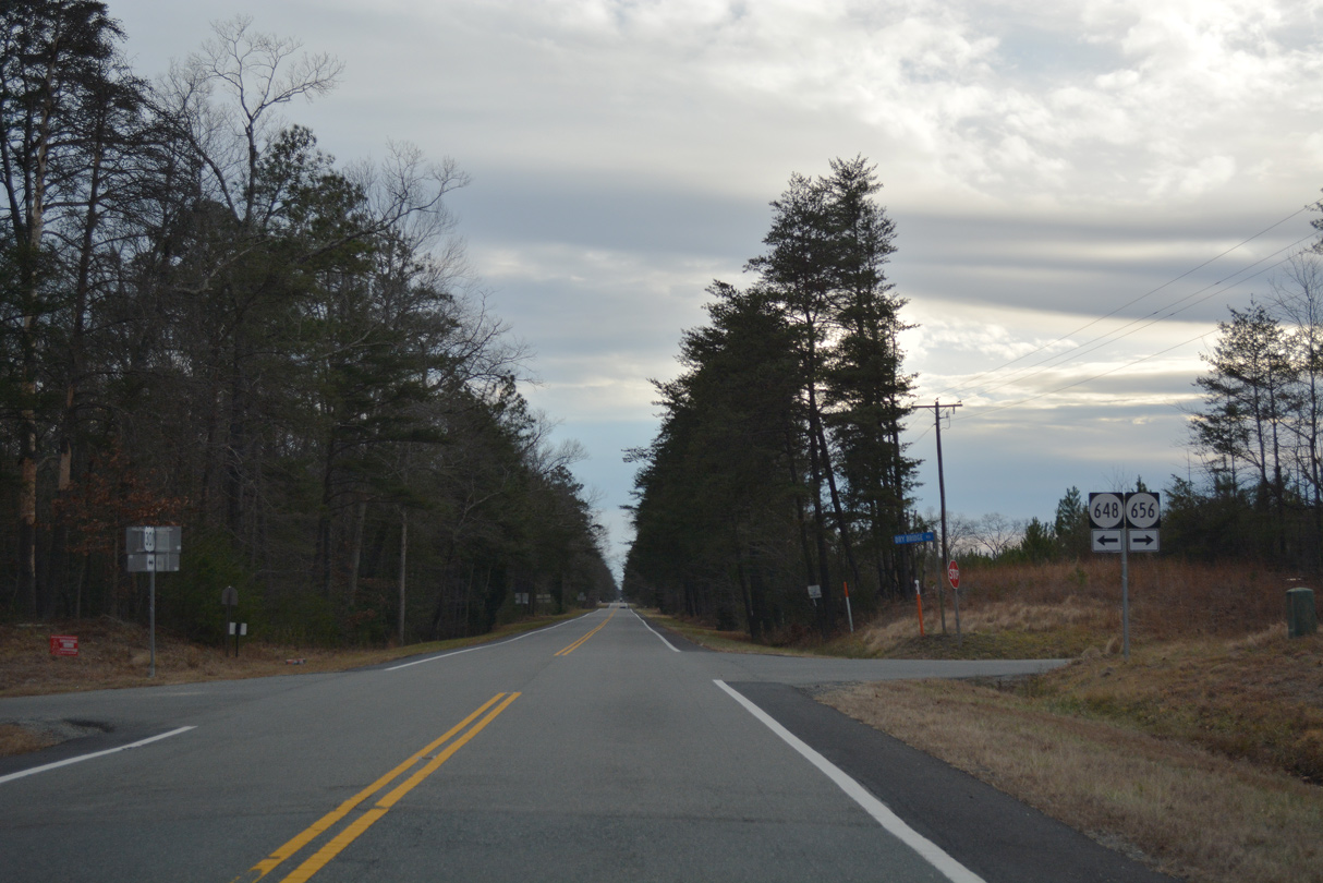
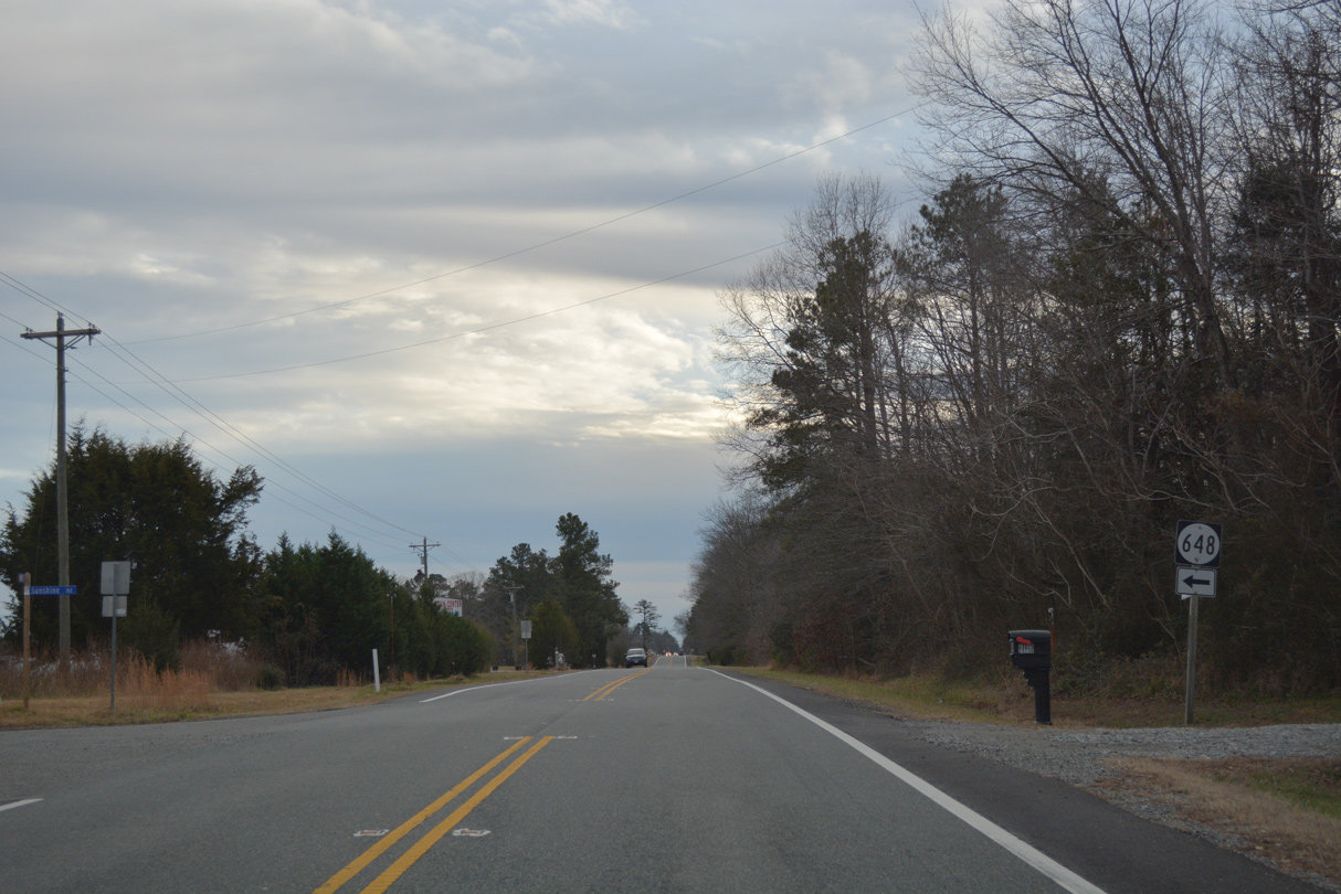
SR 656 (Dry Bridge Road) meanders northwest to Peatross and McBryant Corner SR 648 branches east along Sunshine Road to Doggettts Fork.
12/31/16
12/31/16
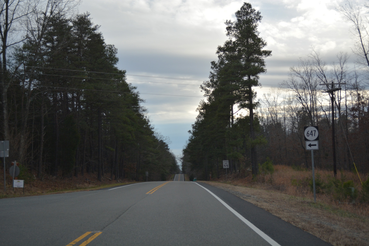
SR 647 (Doggetts Fork Road) ties into U.S. 301/SR 2 west from Doggetts Fork.
12/31/16
12/31/16
12/31/16
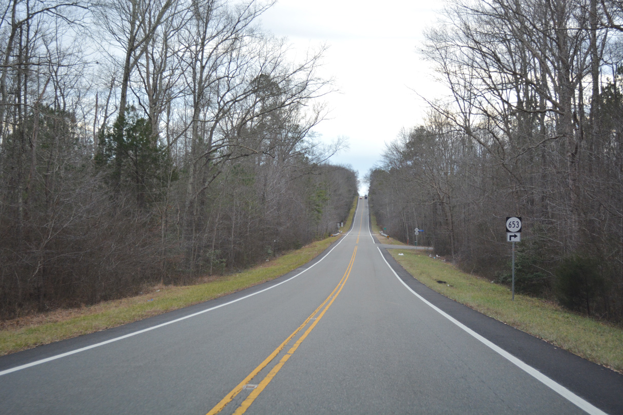
SR 653 follow Burruss Lane west to SR 652 (Signboard Road) at Burruss Corner.
12/31/16
12/31/16
12/31/16
SR 648 (Sunshine Road) returns to U.S. 301/SR 2 (Richmond Turnpike) southwest from Lorne.
12/31/16
12/31/16
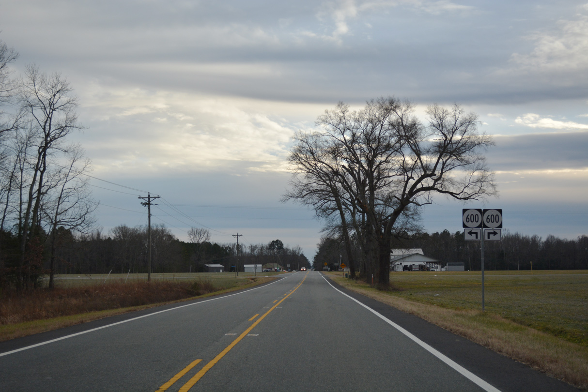
SR 600 (Frog Level Road) runs east to Point Eastern and Duane Fork in King William County and west from U.S. 301/SR 2 at Haleys Corner to adjacent SR 602 (Concord Road).
12/31/16
12/31/16
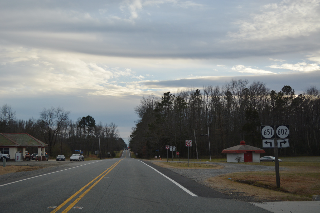
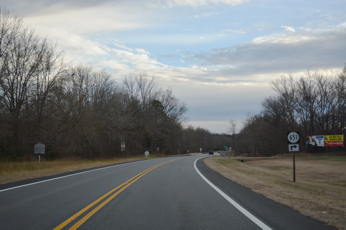
SR 602 heads northwest from U.S. 301/SR 2 at SR 651 (Old Dawn Road) to Covingston Corner.
12/31/16
12/31/16
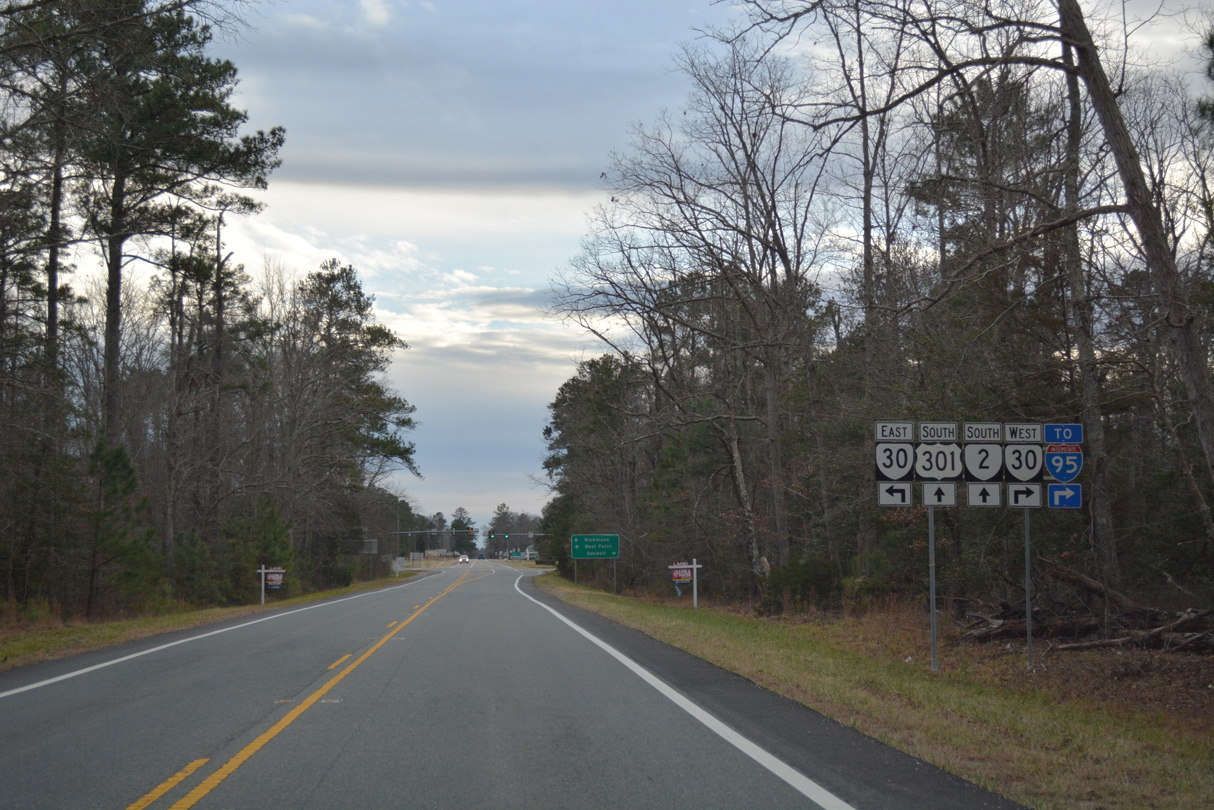
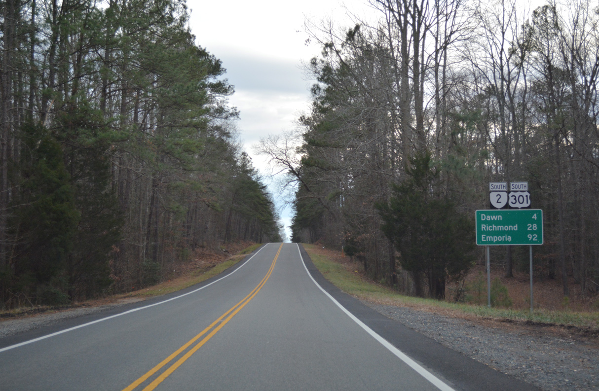
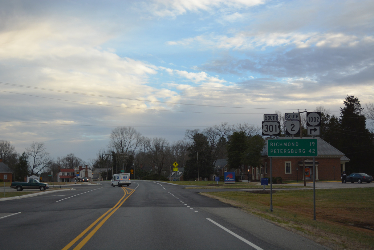
U.S. 301/SR 2 (Richmond Turnpike) converges with SR 30 (Dawn Boulevard) at the community of Dawn.
12/31/16
12/31/16

SR 30 (Dawn Boulevard) runs 5.67 miles west to Meadow Event Park, Kings Dominion theme park, I-95 and U.S. 1 (Washington Highway) south of Doswell.
12/31/16
12/31/16
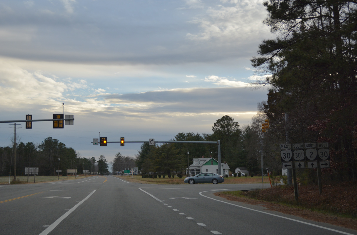
The 45.51 mile long route of SR 30 concludes to the southeast at SR 33 in West Point.
12/31/16
12/31/16

12/31/16
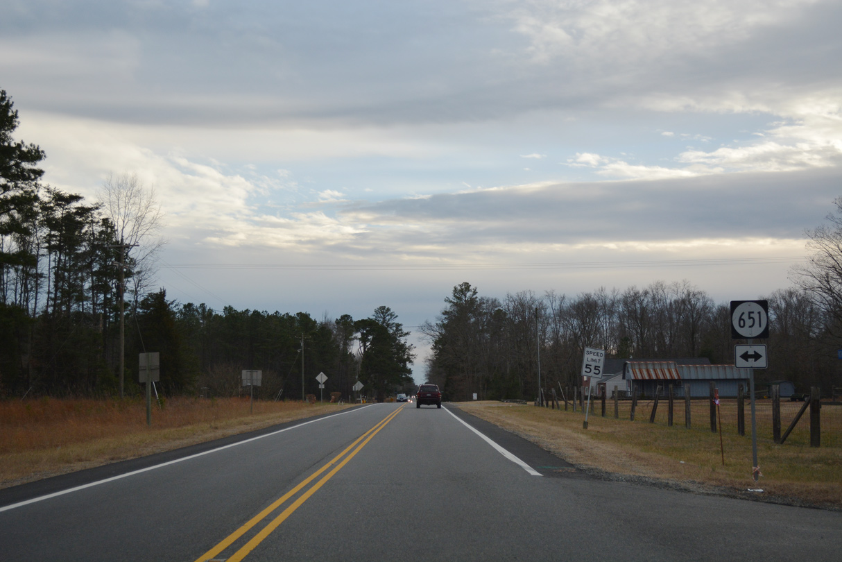
SR 651 (Old Dawn Road) loops west back to U.S. 301/SR 2 from SR 30 to become Baylor Road west of Richmond Turnpike.
12/31/16
12/31/16
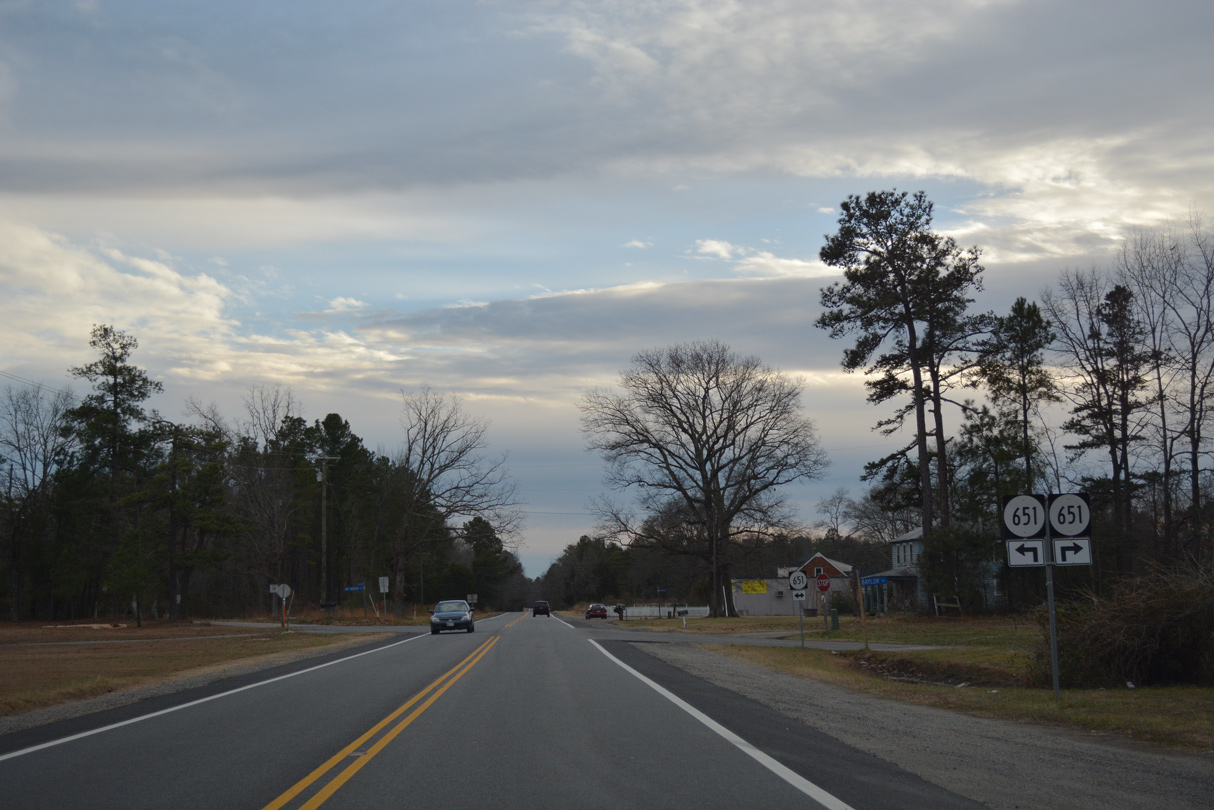
SR 651 meets U.S. 301/SR 2 for a third time south from Baylor Road onto Mt. Gideon Road.
12/31/16
12/31/16
12/31/16
12/31/16
SR 651 returns to U.S. 301/SR 2 from Mt. Gideon Road. The state route continues west on Little Page Bridge Road.
12/31/16
12/31/16
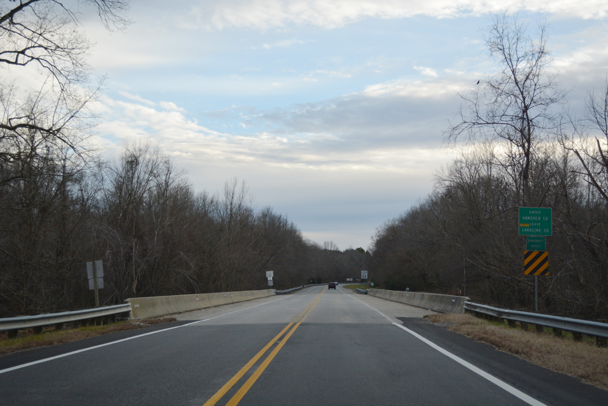
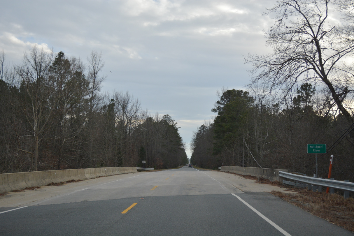
U.S. 301/SR 2 (Richmond Turnpike) span the Pamunkey River south into Hanover County.
12/31/16
12/31/16
12/31/16
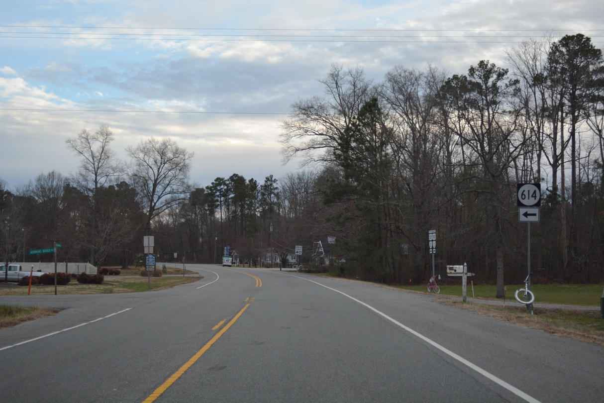
SR 614 stems east along Normans Bridge Road 2.48 miles to the King William County line. The state route measures 8.15 miles overall to SR 604 (Dabneys Mill Road) at Corinth Fork.
12/31/16
12/31/16
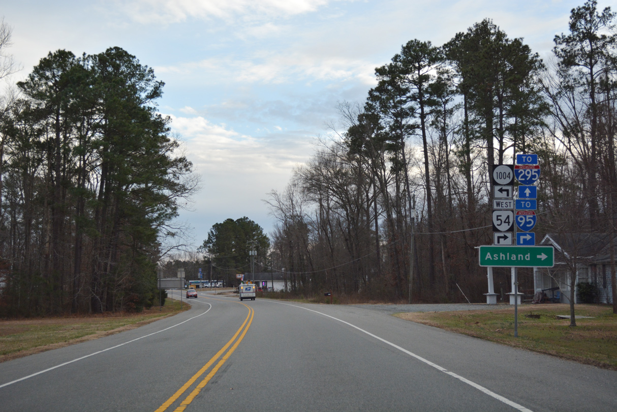
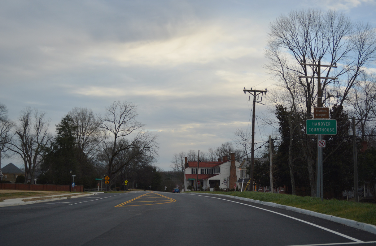
U.S. 301/SR 2 (Hanover Courthouse Road) meets the east end of SR 54 (Patrick Henry Road) at the Hanover County seat of Hanover.
12/31/16
12/31/16
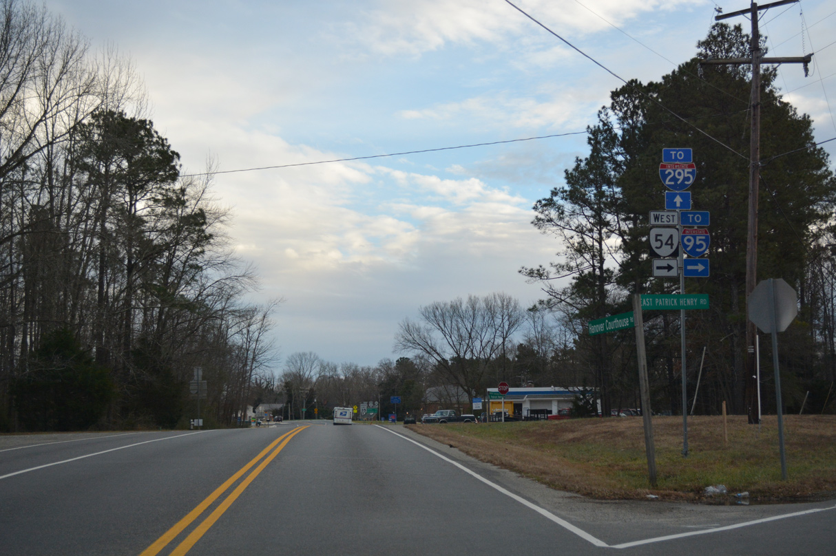
SR 54 constitutes an 18.67 mile long route west to I-95 and U.S. 1 at Ashland and U.S. 33 at Lone Oak.
12/31/16
12/31/16
12/31/16
12/31/16
12/31/16
12/31/16
12/31/16
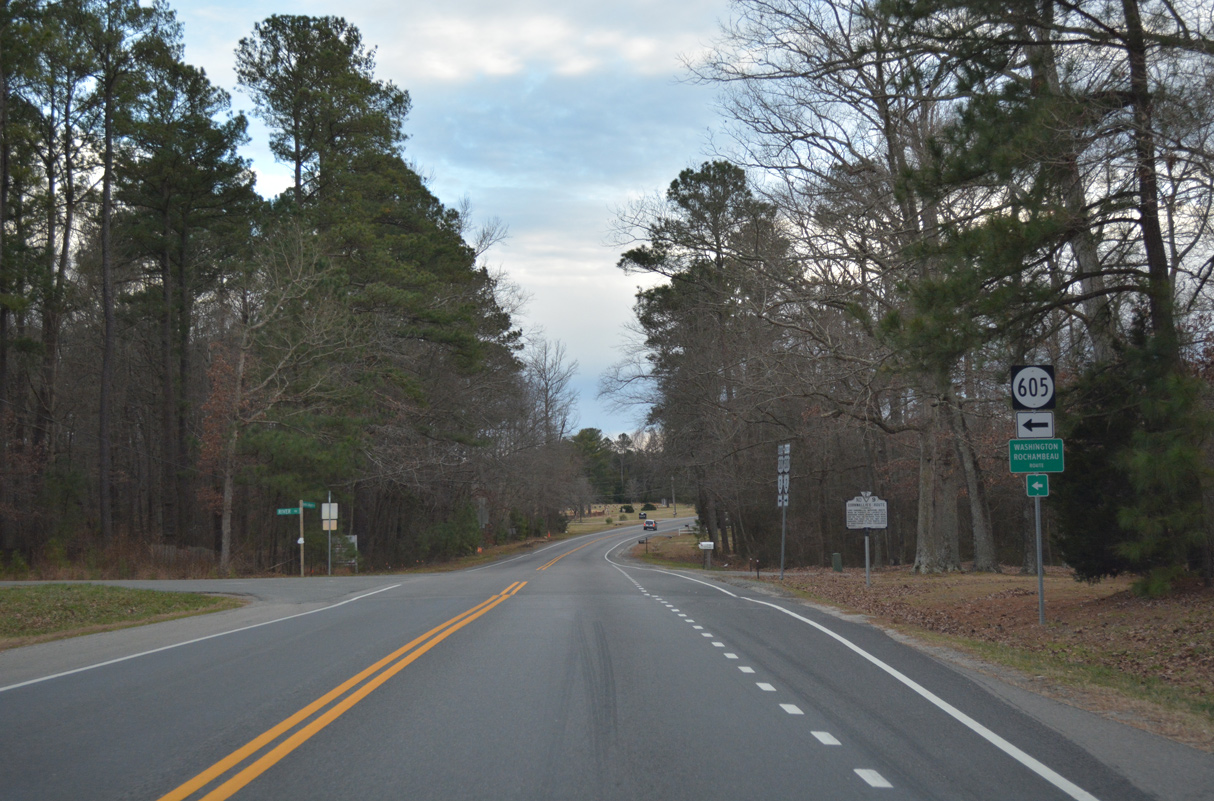
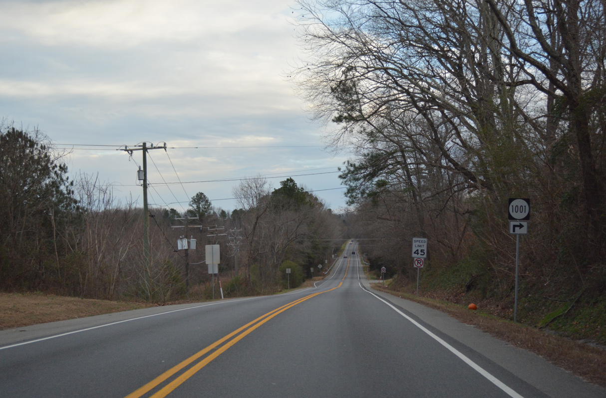
SR 605 (River Road) angles southeast from U.S. 301/SR 2 (Hanover Courthouse Road) 4.22 miles to SR 615 (Willamsville Road).
12/31/16
12/31/16
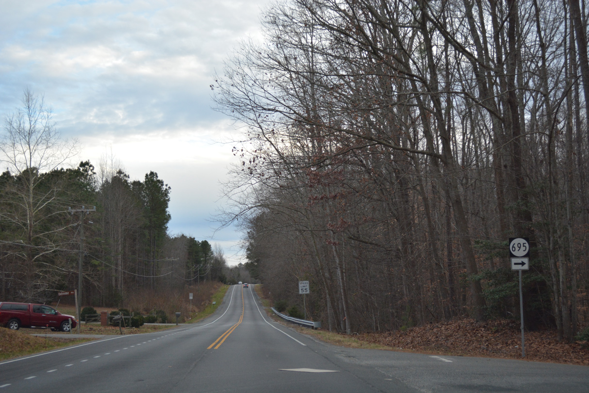
SR 695 (Cadys Mill Road) loops southwest to Cady and SR 657 (Peaks Road) near Peaks.
12/31/16
12/31/16
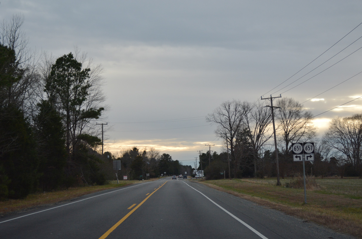
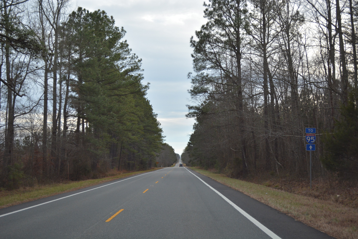
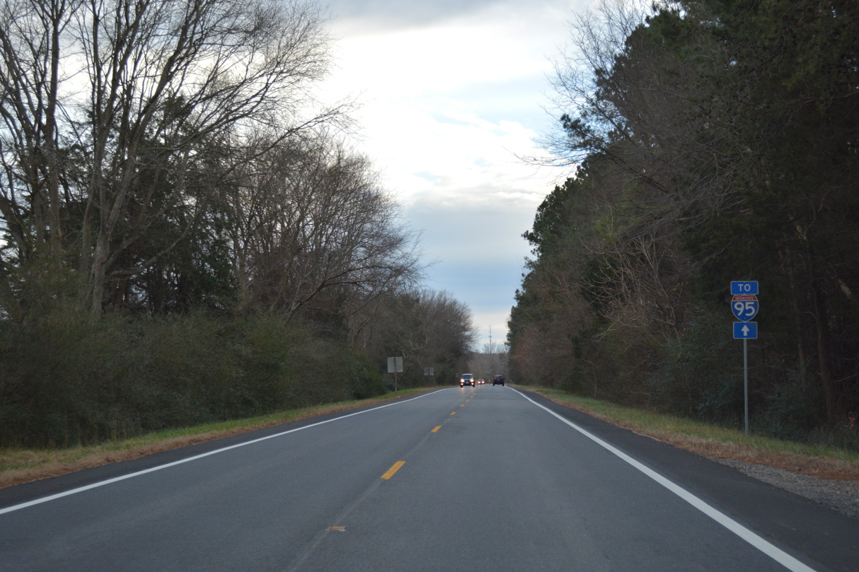
SR 657 (Peaks Road) branches west from U.S. 301/SR 2 at Crosses Corner 4.57 miles to SR 802 (Lewistown Road) by Interstate 95 at Exit 89.
12/31/16
12/31/16

Photo Credits:
- Alex Nitzman: 12/31/16
Page Updated Friday February 19, 2021.