
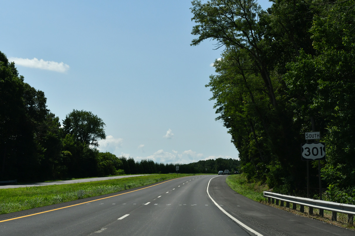
U.S. 301 South - Delaware to Sudlersville
U.S. 301 (Blue Star Memorial Highway) heads southwest from the tolled First Responders Memorial Highway in Delaware 2.5 miles to a weigh station at Sassafras Road.
07/27/24
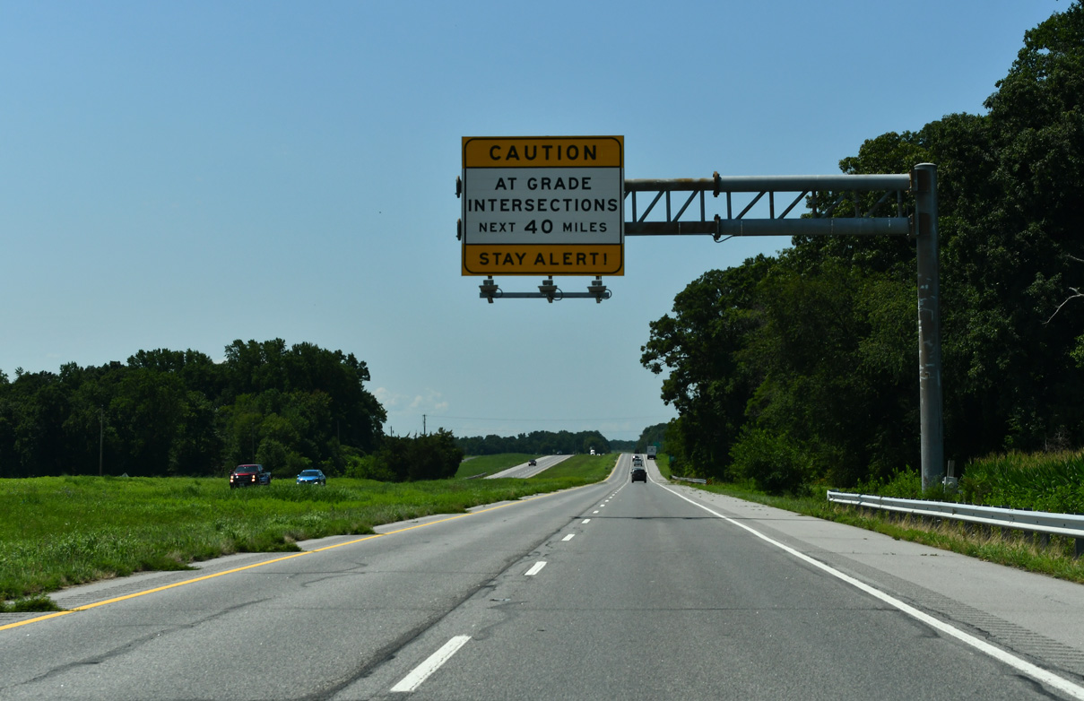
U.S. 301 is a controlled access expressway throughout the Eastern Shore of Maryland. A number of intersections, most of which use J-turns, line the 38 mile stretch from this overhead near MD 299 to the limited access freeway alongside U.S. 50 at Queenstown.
07/27/24
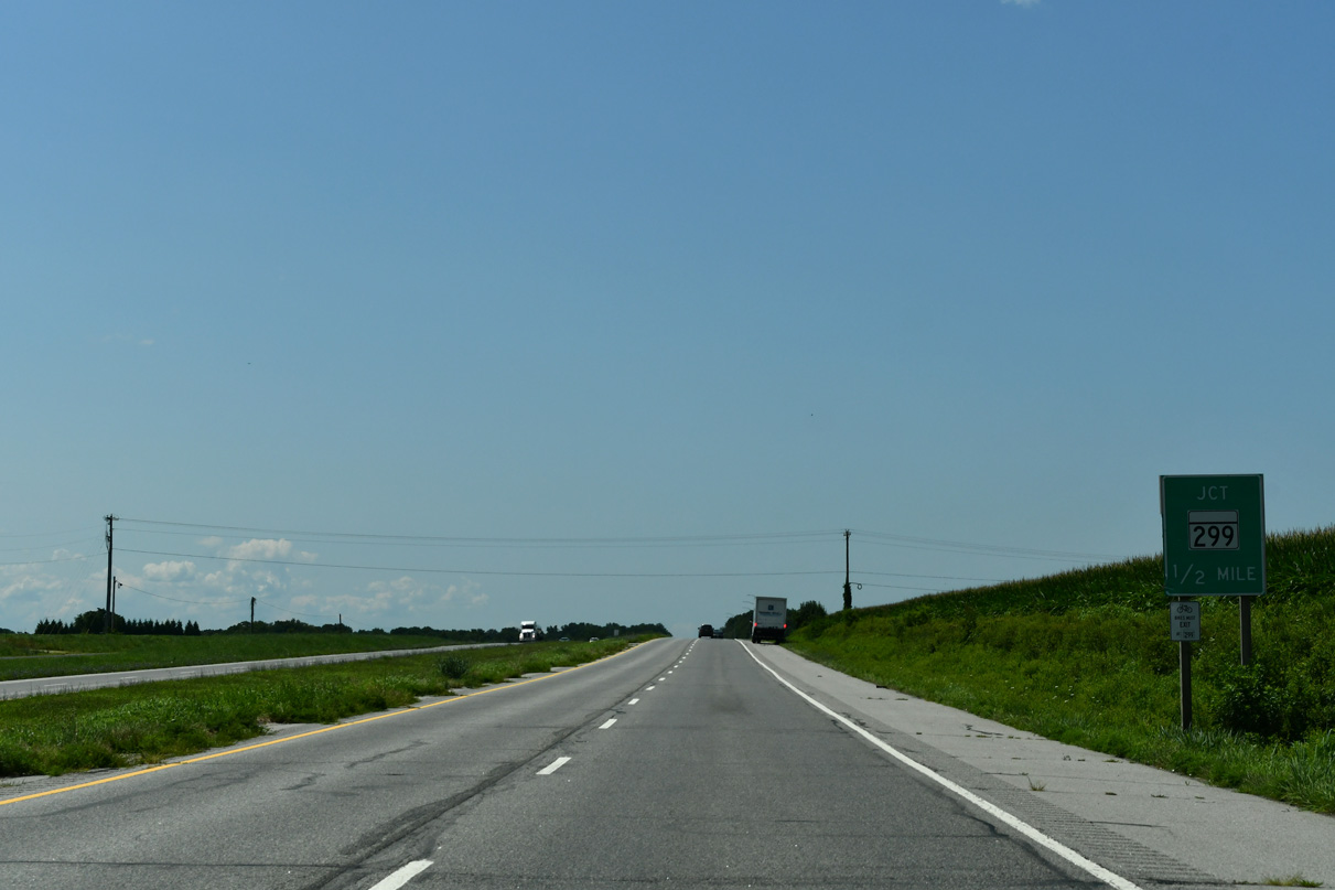
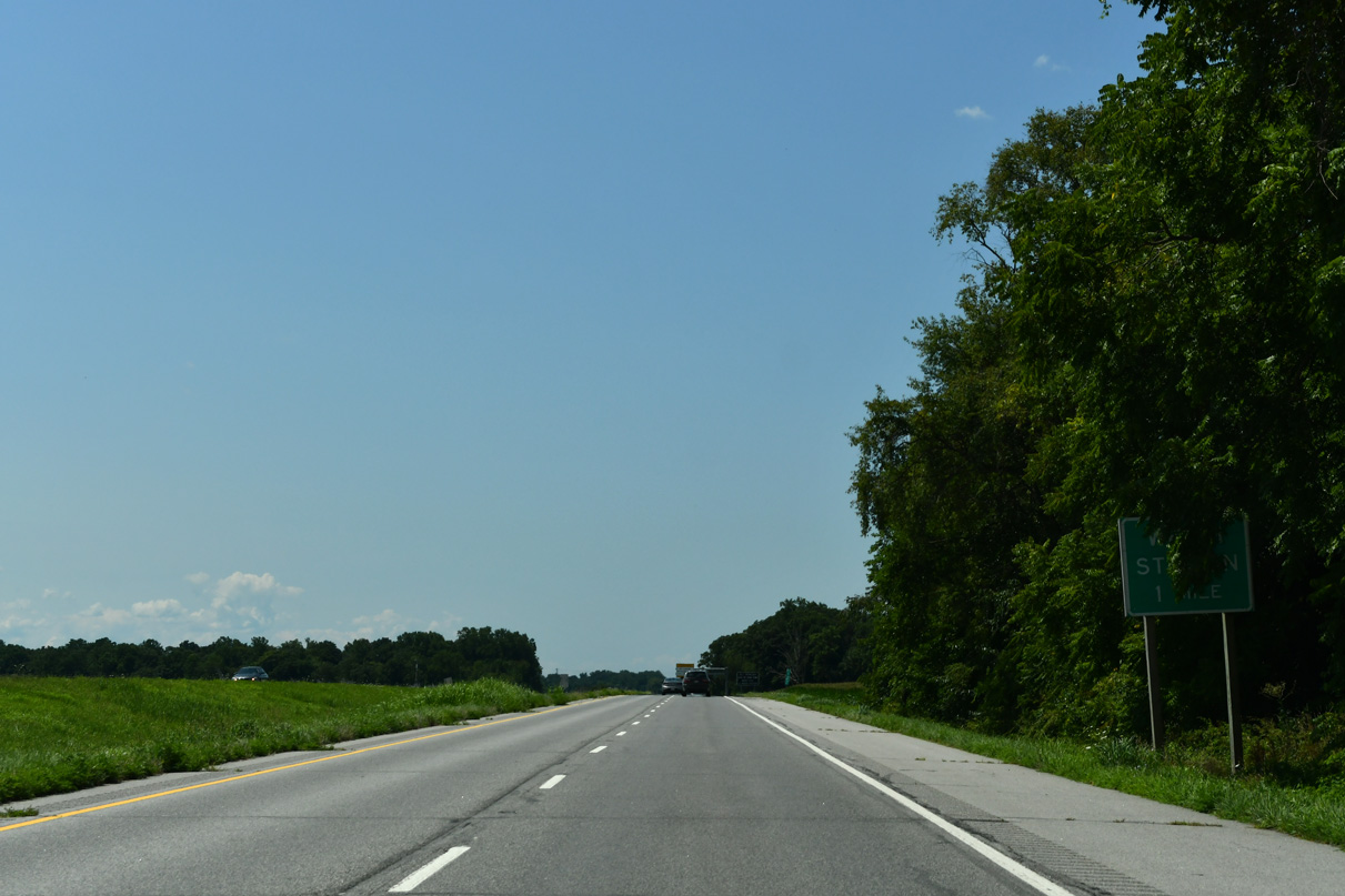
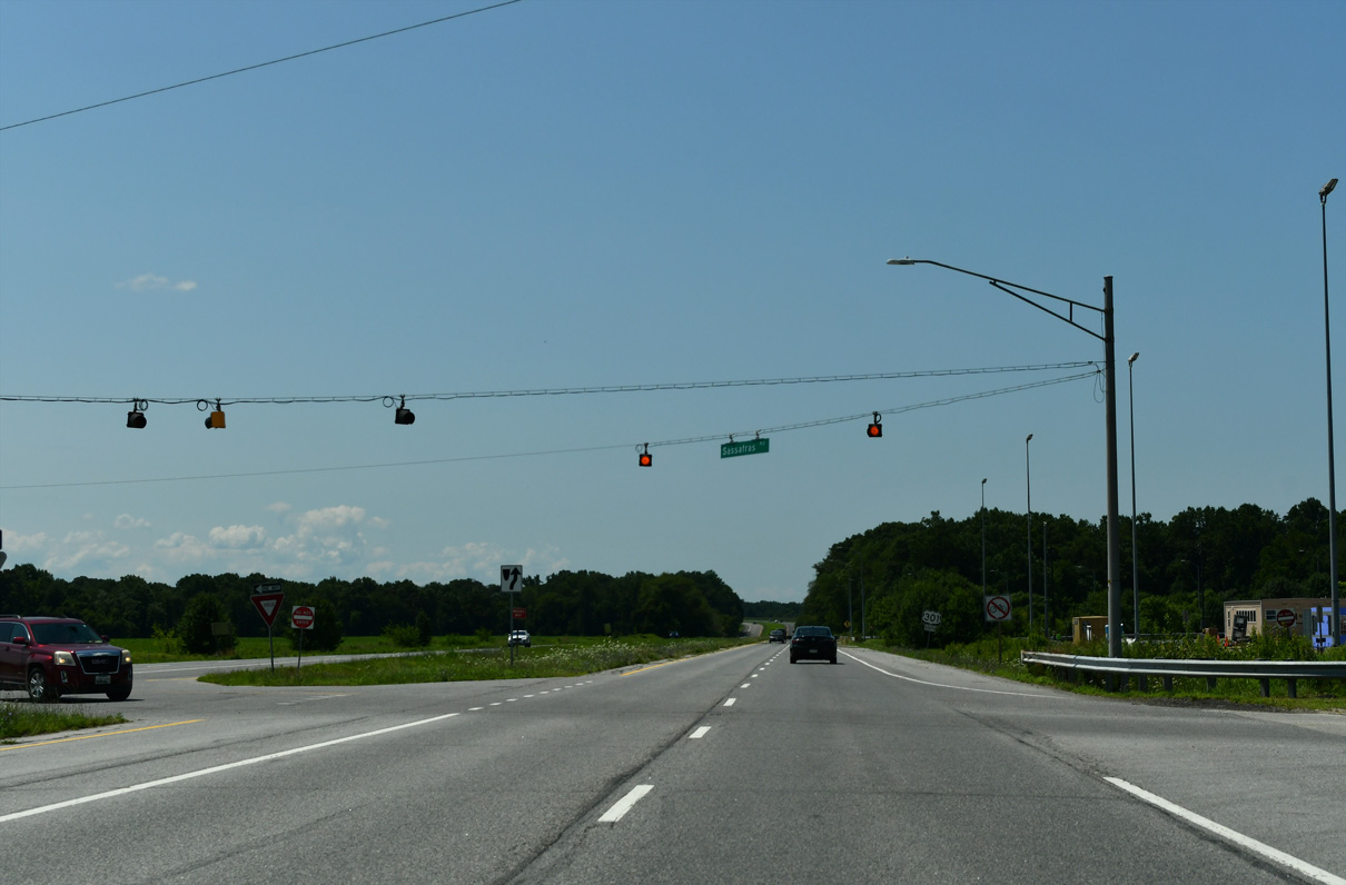
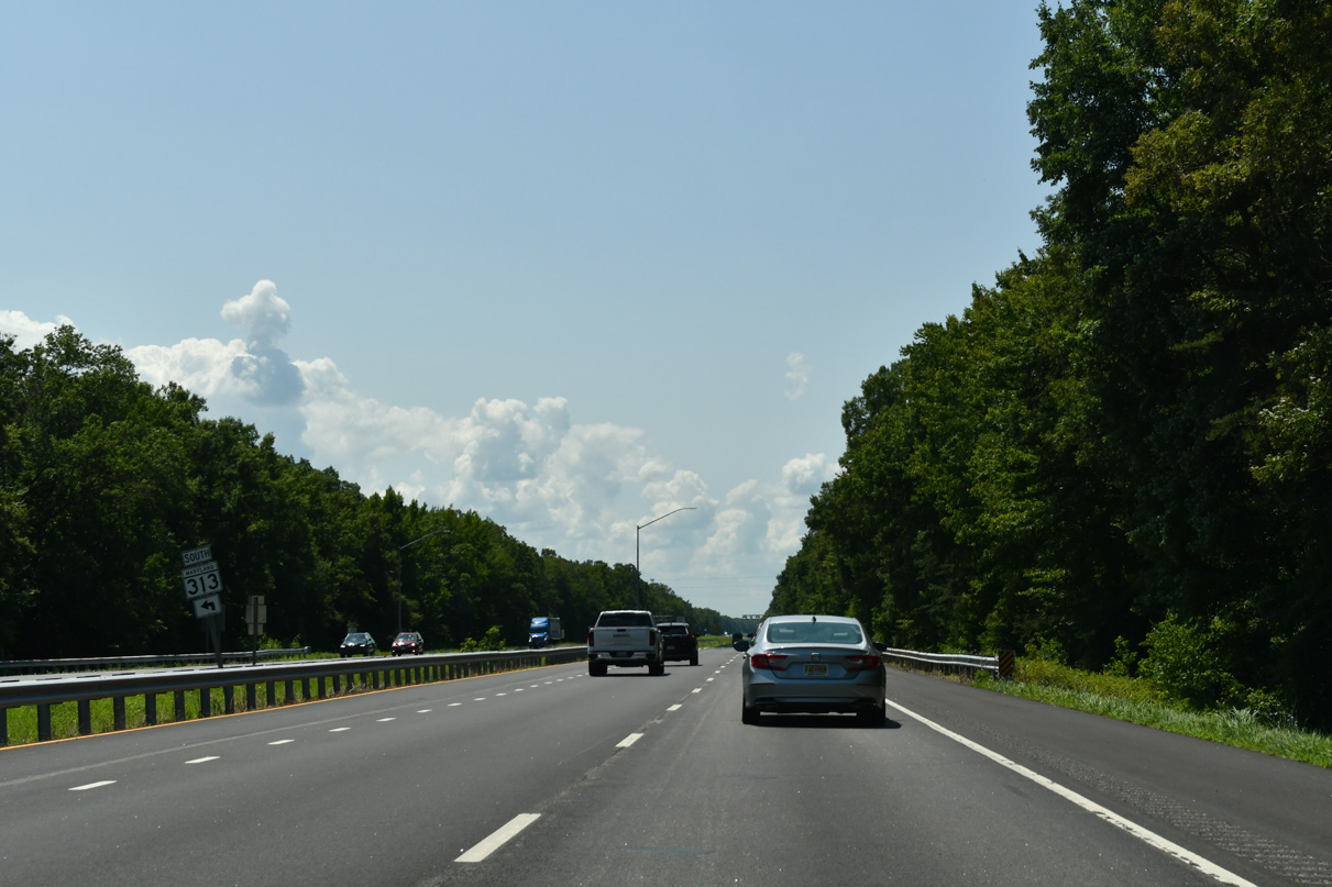
U.S. 301 converges with the north end of MD 299 (Massey Sassafras Road) at Sassafras Road in one half mile.
07/27/24
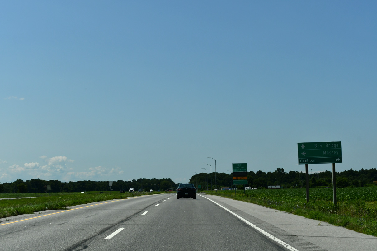
Wards Hill Road branches west from Sassafras Road 2.78 miles to MD 282 ahead of Cecilton. Sassafras Road north 2.21 miles to MD 282 (Cecilton Warwick Road) was historically a part of MD 299.
07/27/24
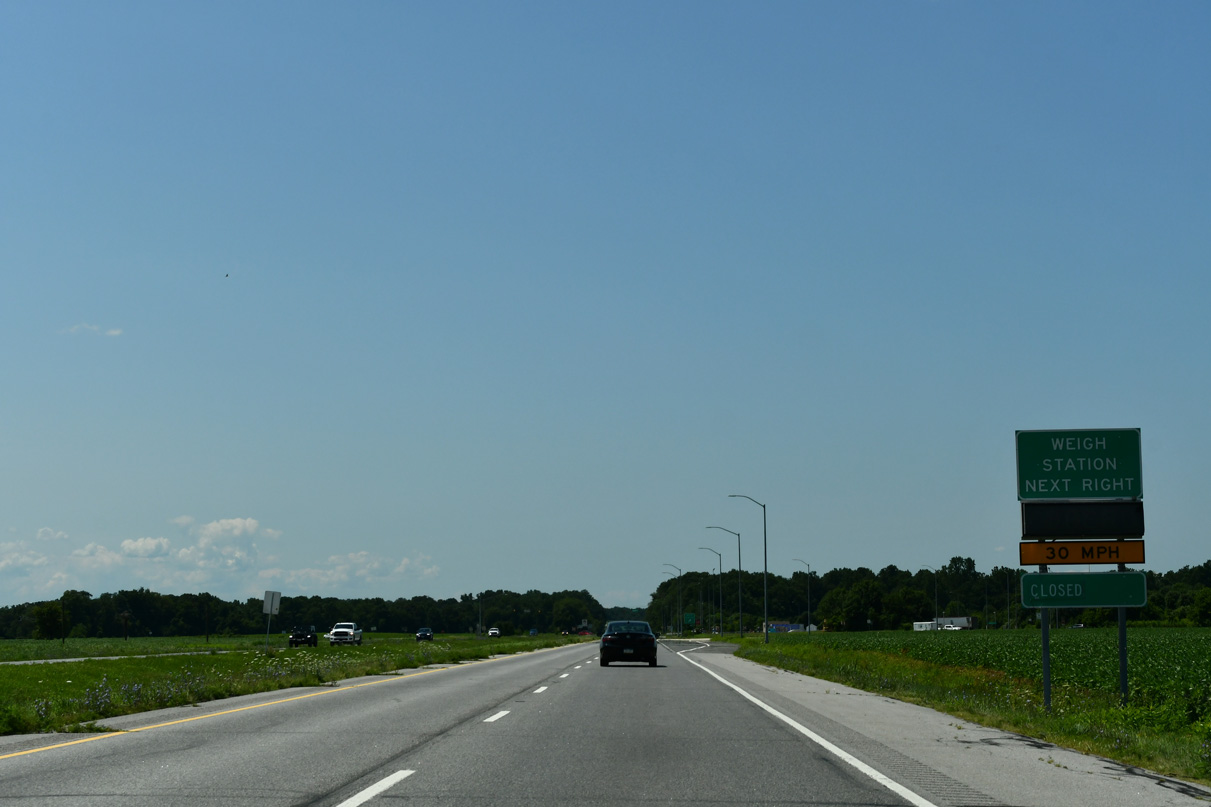
An exit ramp precedes the intersection with Sassafras Road and MD 299 south for the adjacent weigh station. A northbound facility operates just across the Delaware state line.
07/27/24
MD 299 comprises a 5.67 mile long route south from U.S. 301 to Sassafras and MD 313/330 at Massey. A shield for MD 299 south posted in the median was removed in 2013 and eventually replaced with a weight restriction sign for the state route.
07/27/24
The southbound weigh station at Sassafras Road was added between 2004 and 2008.
12/25/25
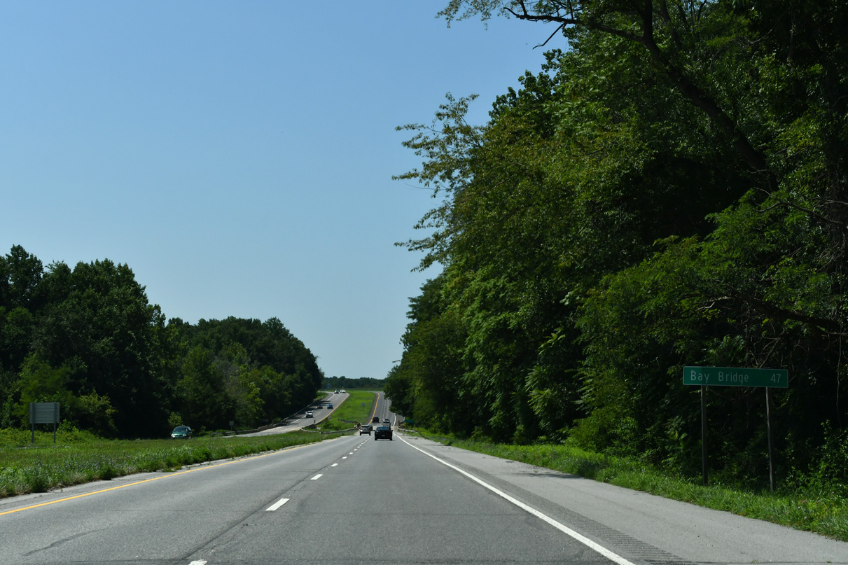
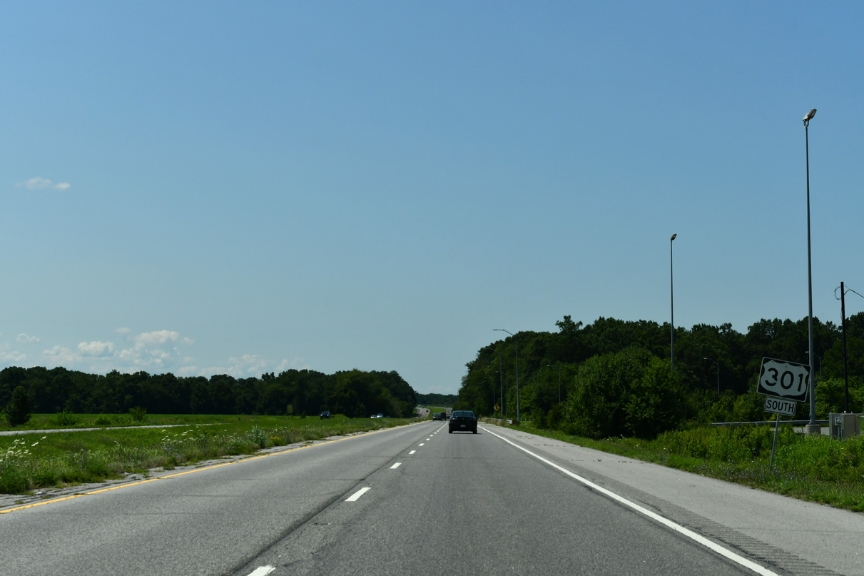
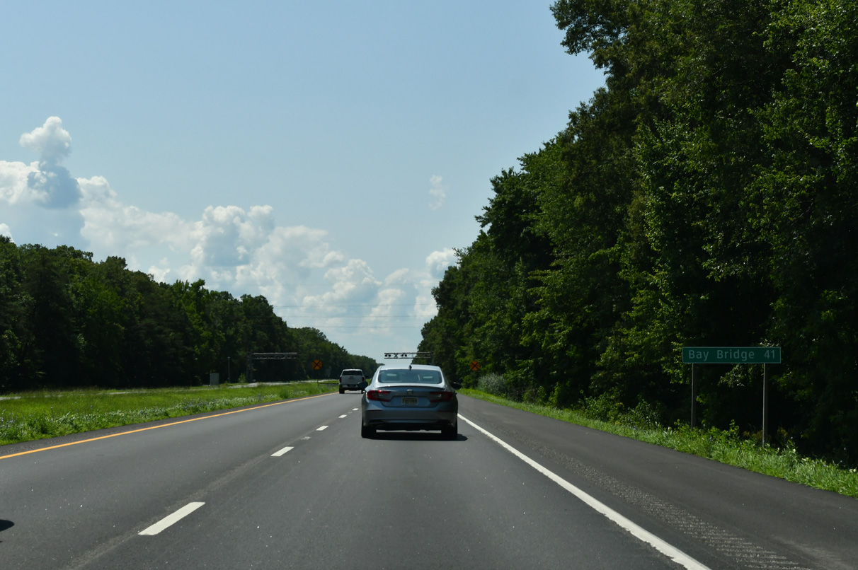
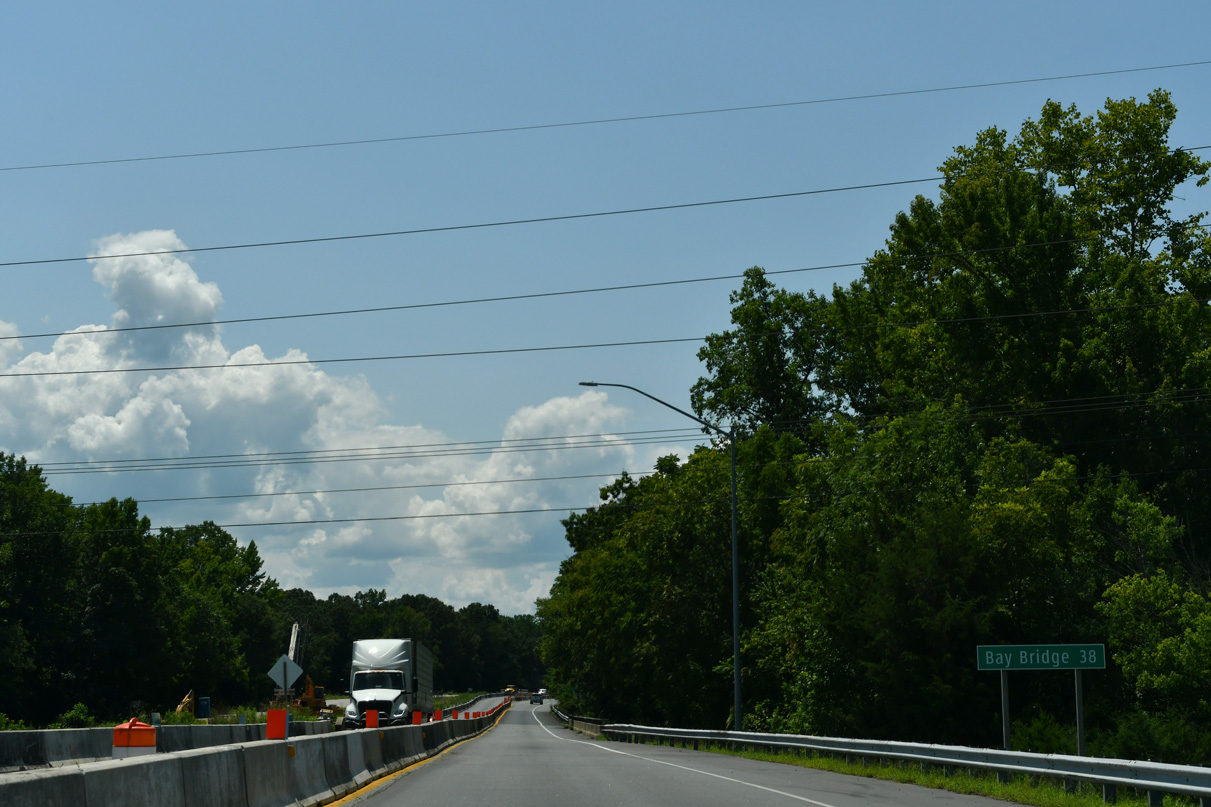
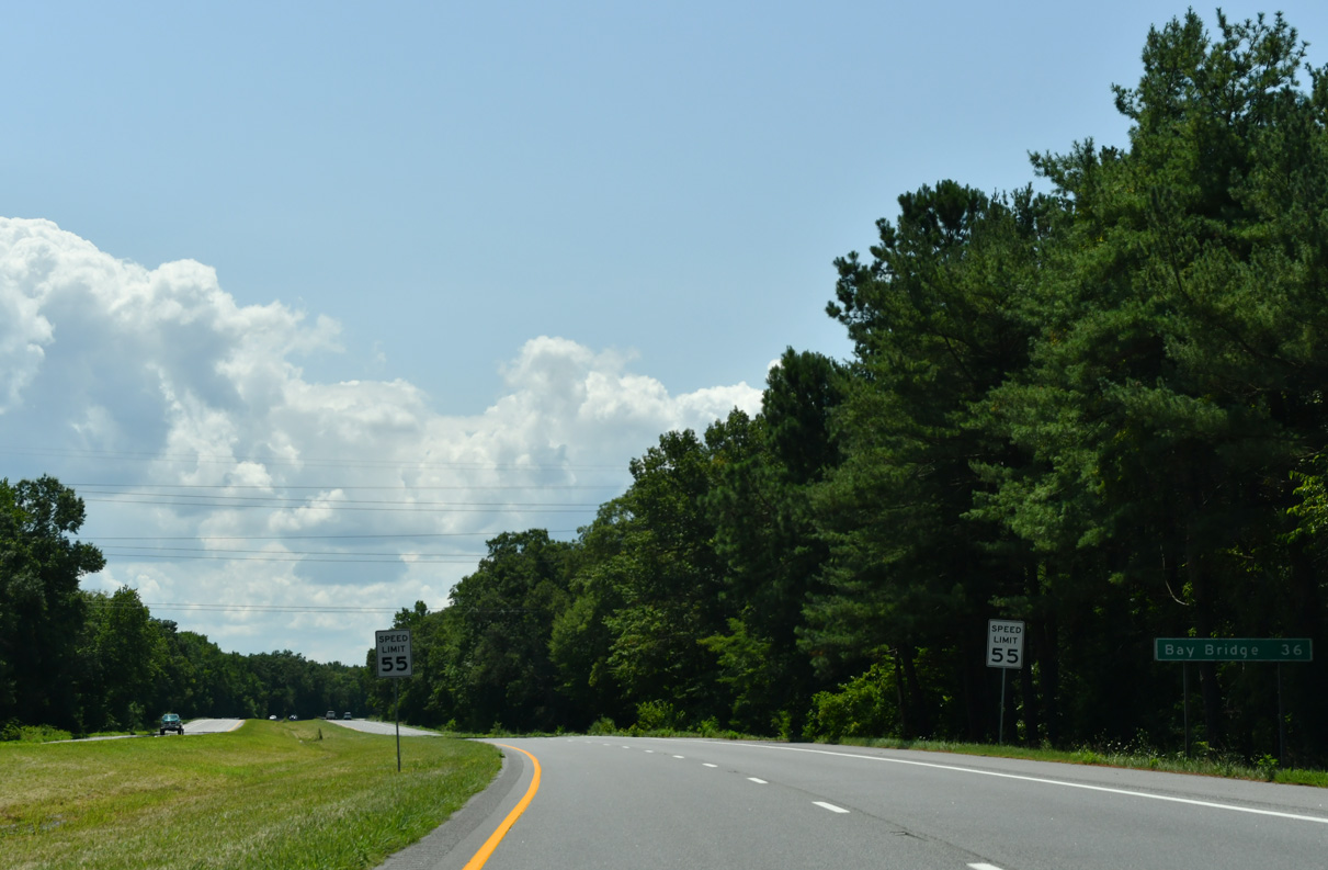
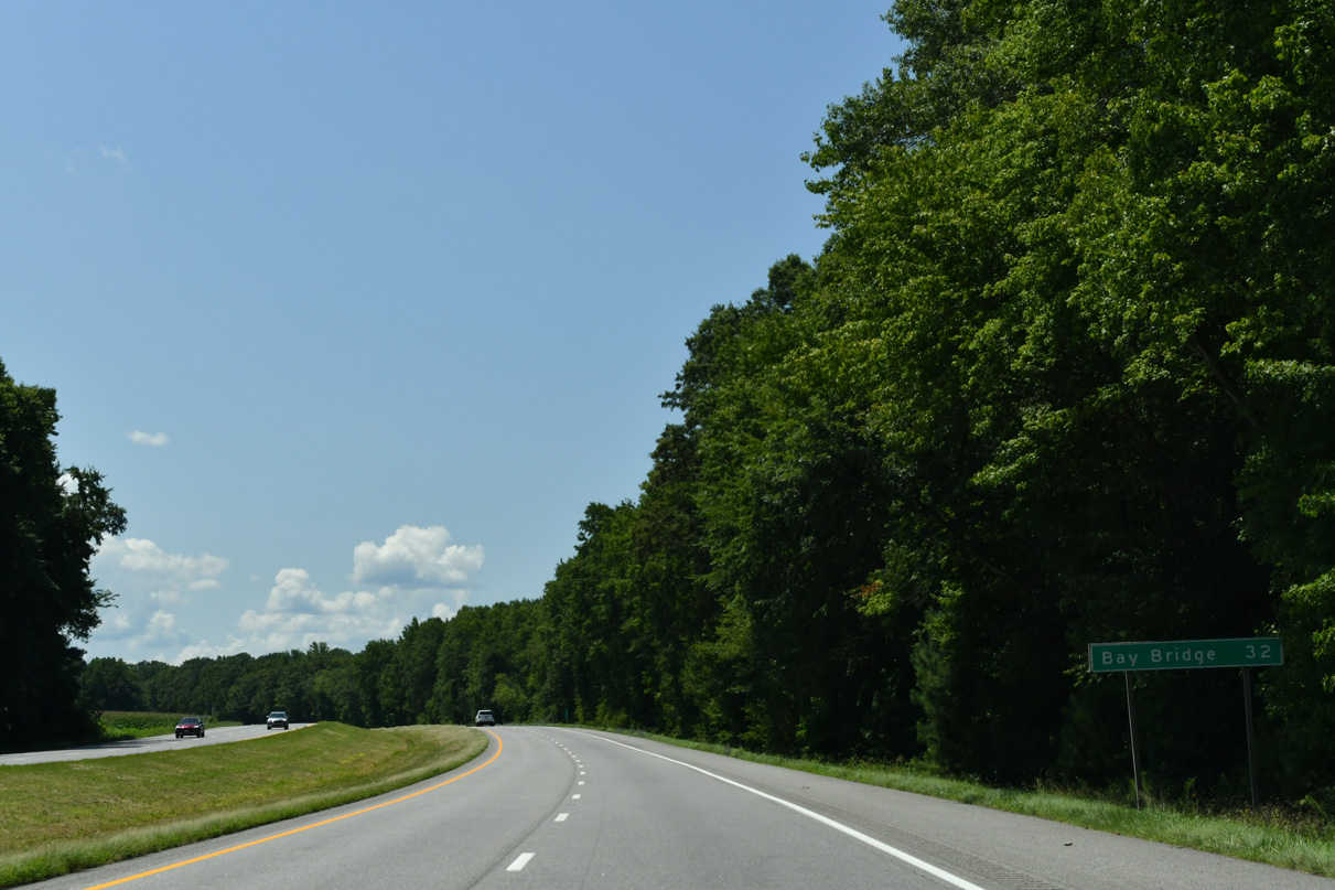
Lowering to cross the Sassafras River, U.S. 301 advances 47 miles southwest from MD 299 toward the Chesapeake Bay Bridge (U.S. 50).
07/27/24
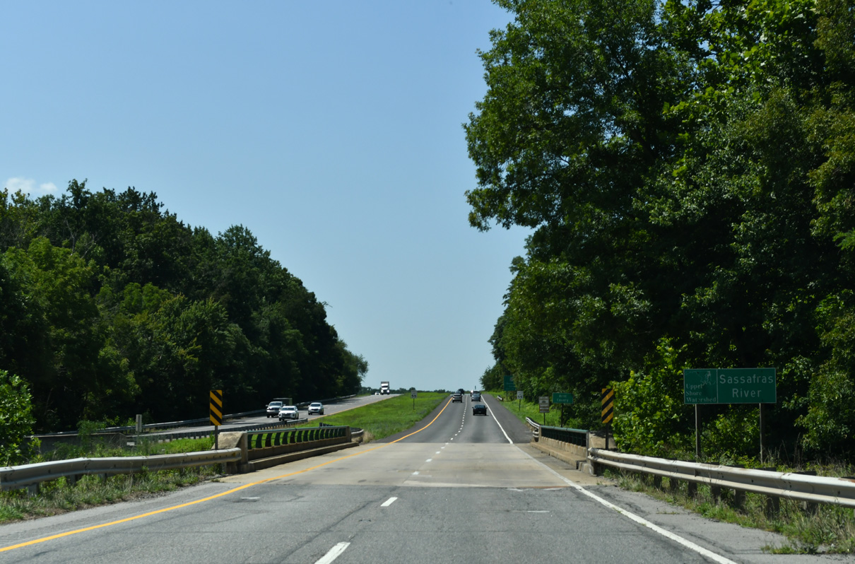
The Sassafras River marks the boundary between Cecil and Kent Counties west from the Delaware state line to Chesapeake Bay at Grove Point.
07/27/24
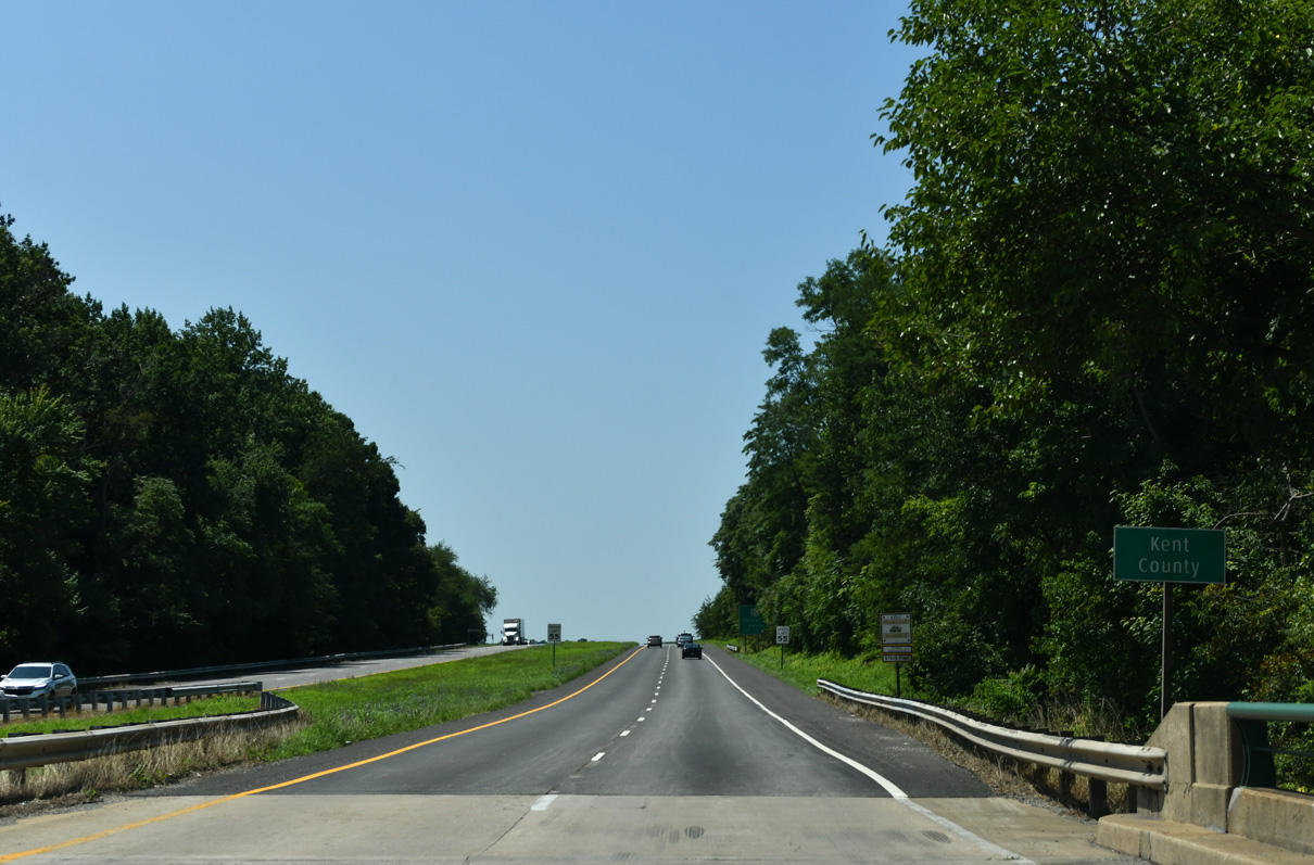
U.S. 301 (Blue Star Memorial Highway) passes through eastern Kent County over the ensuing 8.72 miles southbound.
07/27/24
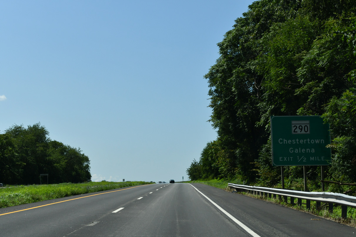
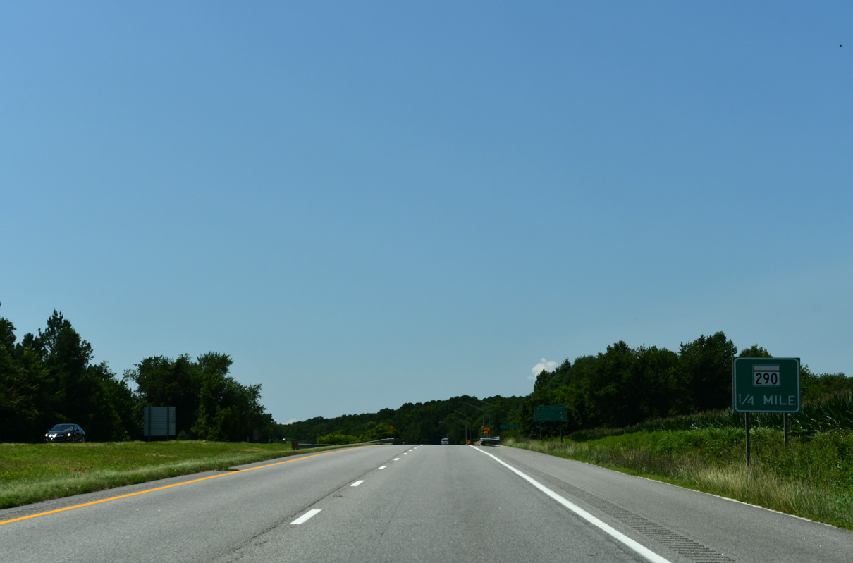
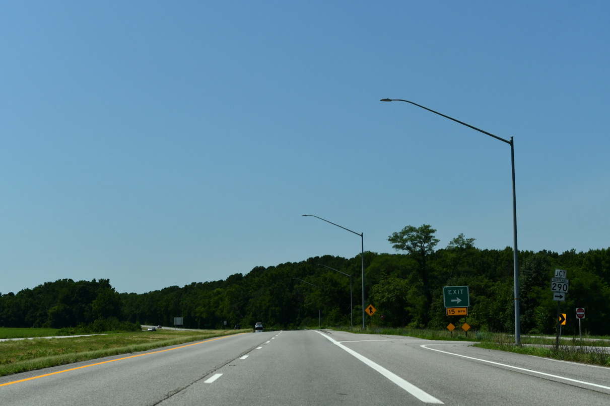
MD 290 (Galena Sassafras Road) stems 0.36 miles west from MD 299 (Massey Road) to a modified diamond interchange with U.S. 301.
12/25/25
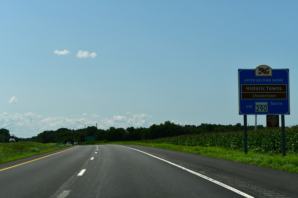
MD 290 (Galena Sassafras Road) heads 4.08 miles southwest from U.S. 301 to MD 213/313 on Cross Street in the town of Galena. MD 213 (Augustine Herman Highway) continues from there 14.8 miles to Historic Chestertown.
12/25/25
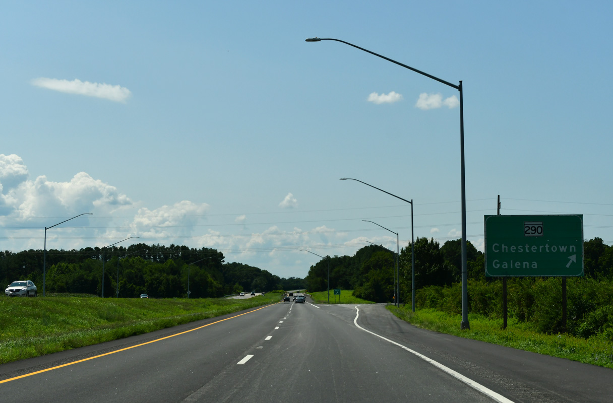
MD 290 constitutes a 17.20 mile long route south to Chesterville, Crumpton and MD 300 west of Sudlersville. MD 290 and U.S. 301 meet again in 12.6 miles.
12/25/25
Continuing south from MD 290 near Sassafras, U.S. 301 traverses areas of timberland adjacent to Jacobs Creek.
07/27/24
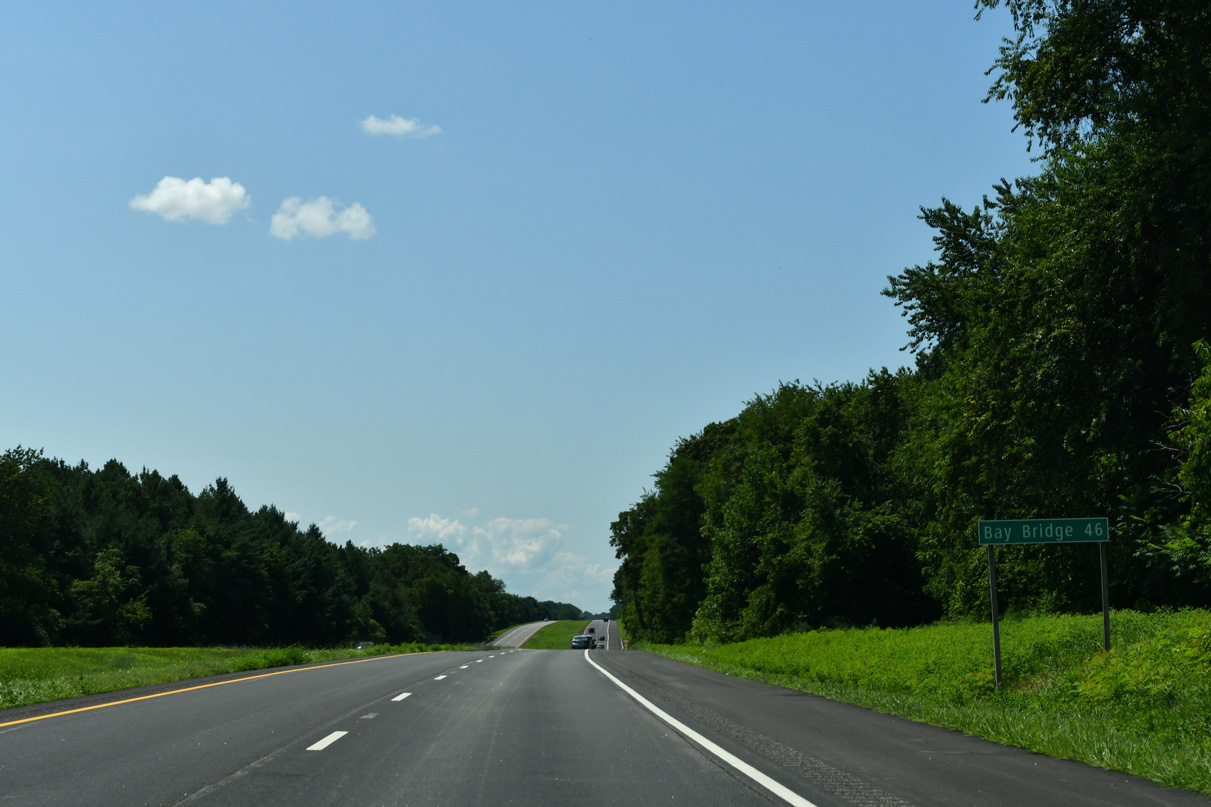
The mid point of the Chesapeake Bay Bridge lies 46 miles to the southwest of the exchange joining U.S. 301 with MD 290.
07/27/24
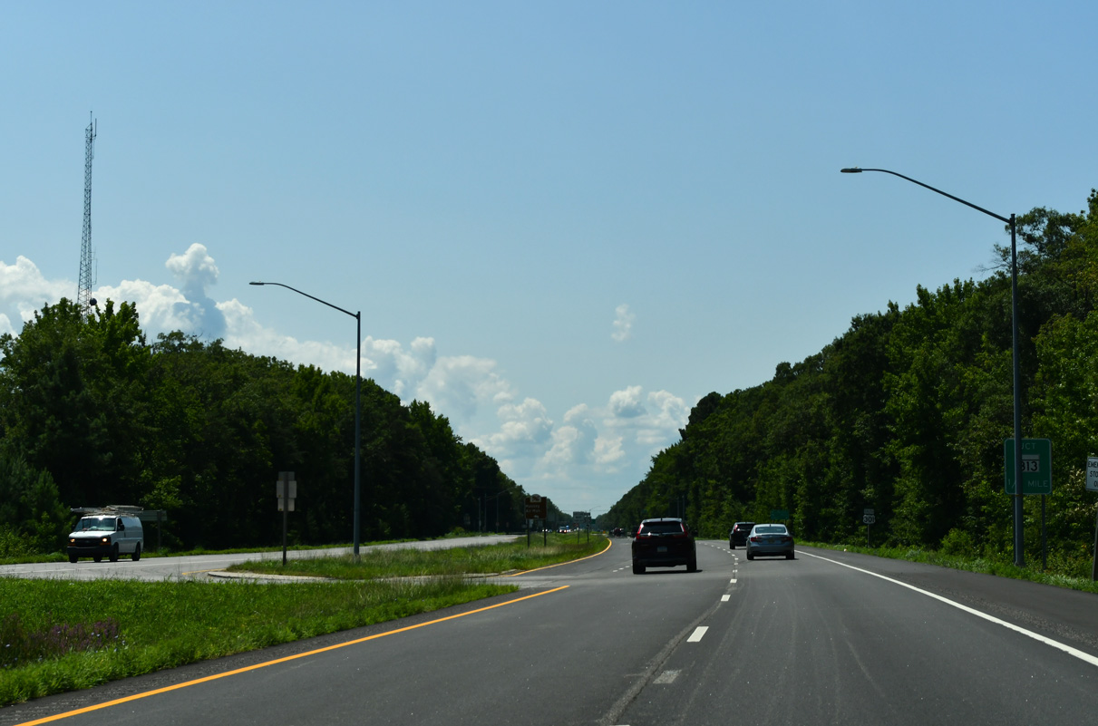
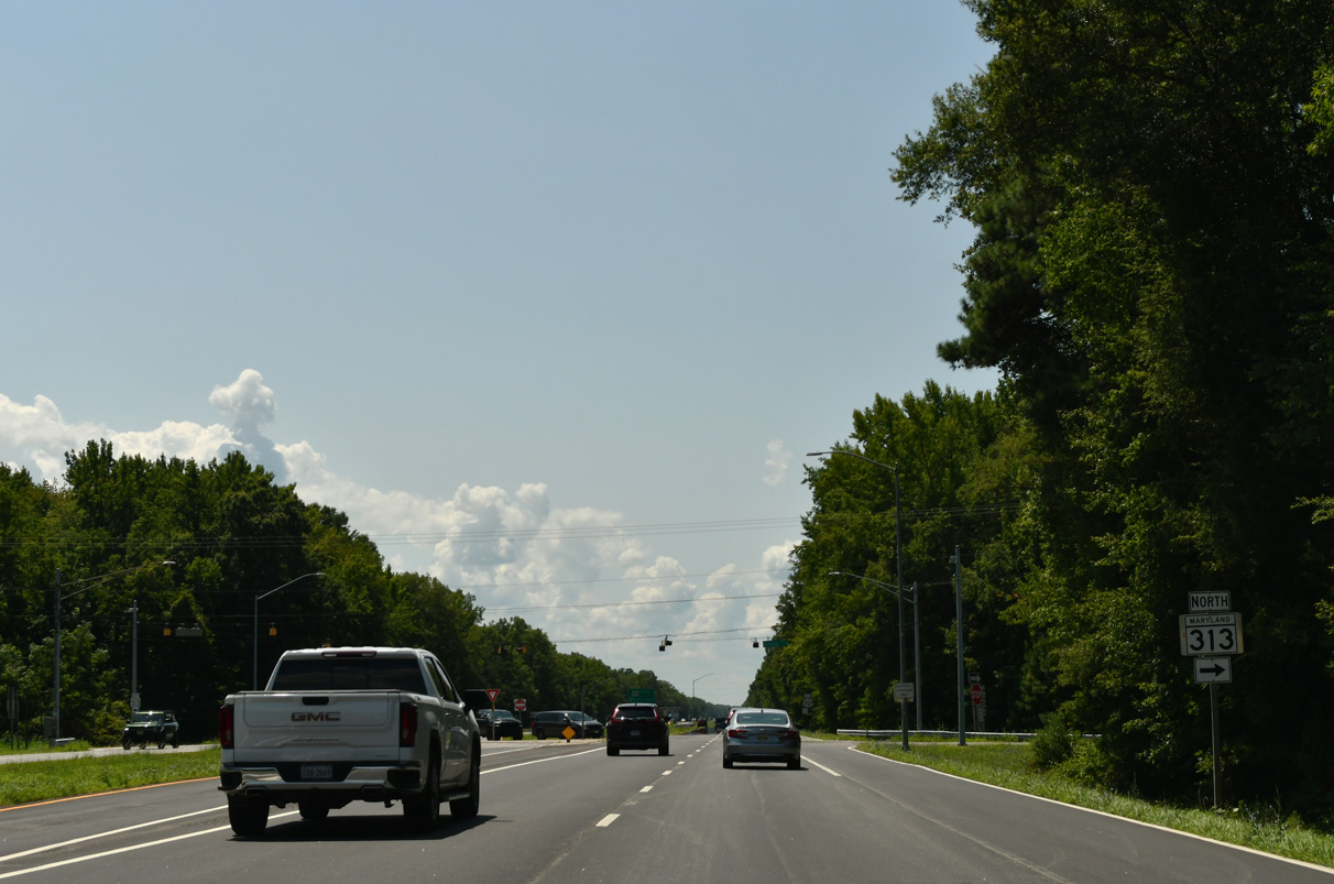
U.S. 301 advances 3.6 miles southwest from MD 290 to a J-turn intersection with MD 313 (Galena Road).
07/27/24
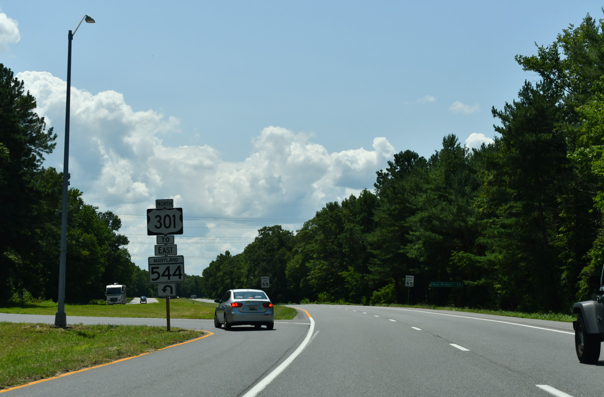
MD 313 originates 2.6 miles to the northwest from MD 213/290 (Cross Street) in Galena. The state route continues east from U.S. 301, 1.5 miles to MD 299/330 at Massey.
07/27/24
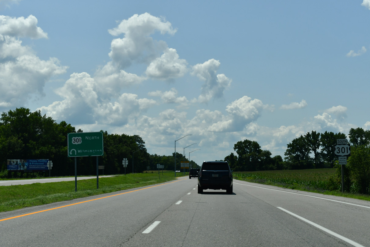
The 75 mile long route of MD 313 concludes at Galena to the north and Mardela Springs in Wicomico County to the south.
07/27/24
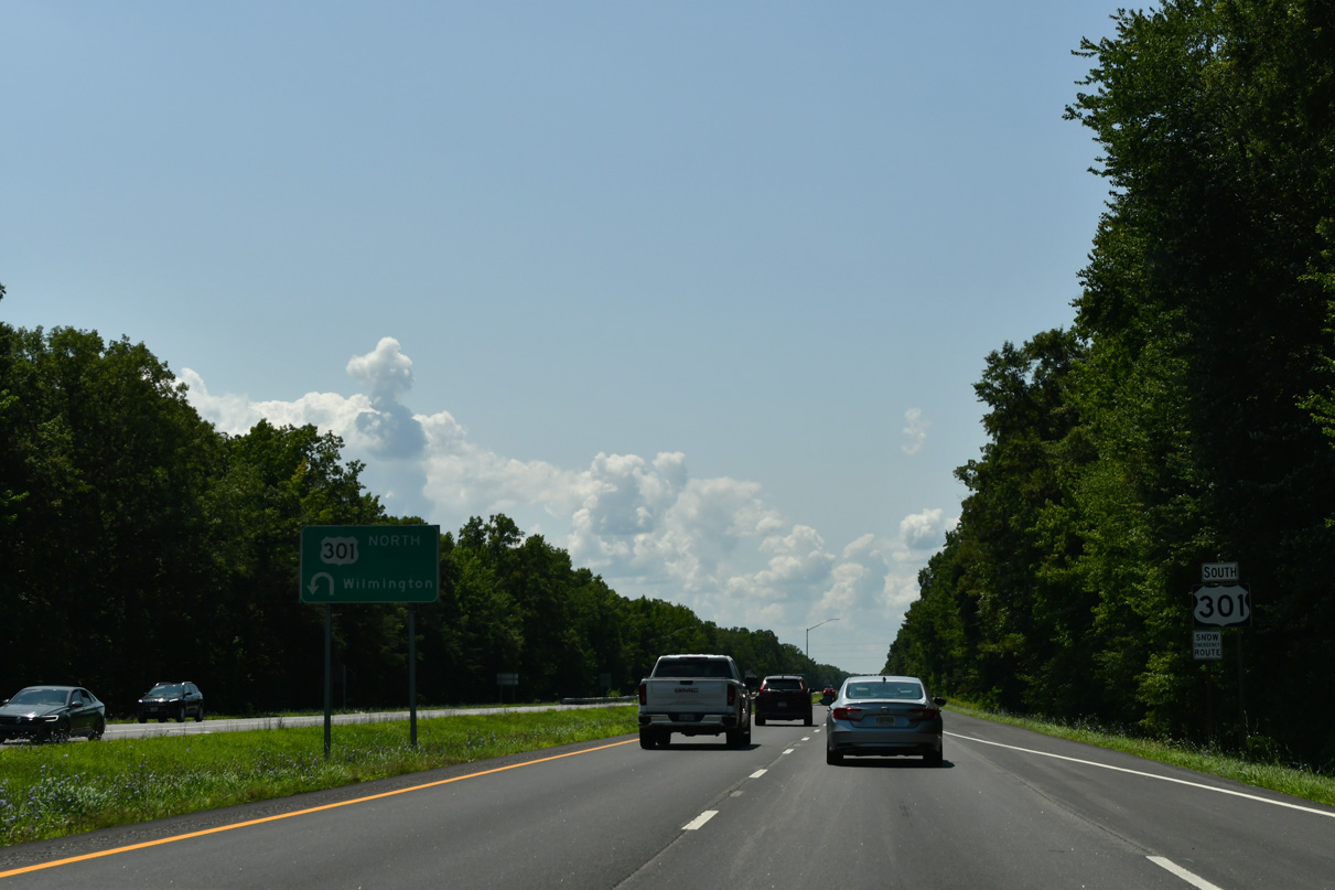
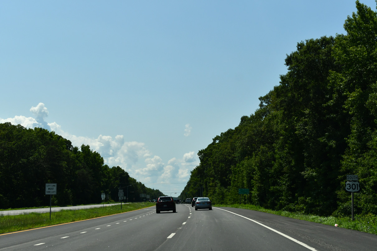
A U-turn lane connects MD 313 (Galena Road) south with U.S. 301 north toward Wilmington, Delaware and the continuation of the route to Millington.
07/27/24
U.S. 301 crosses a Maryland and Delaware Railroad (MDOT) line at-grade beyond this distance sign for the Chesapeake Bay Bridge (U.S. 50).
07/27/24
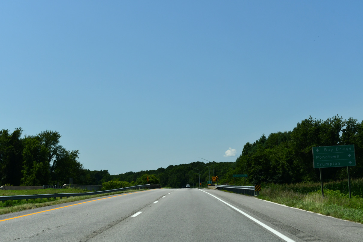
Chesterville Bridge Road leads 3.02 miles west from U.S. 301 to MD 290 (Chesterville Road) at MD 444 (Locust Grove Road).
07/27/24
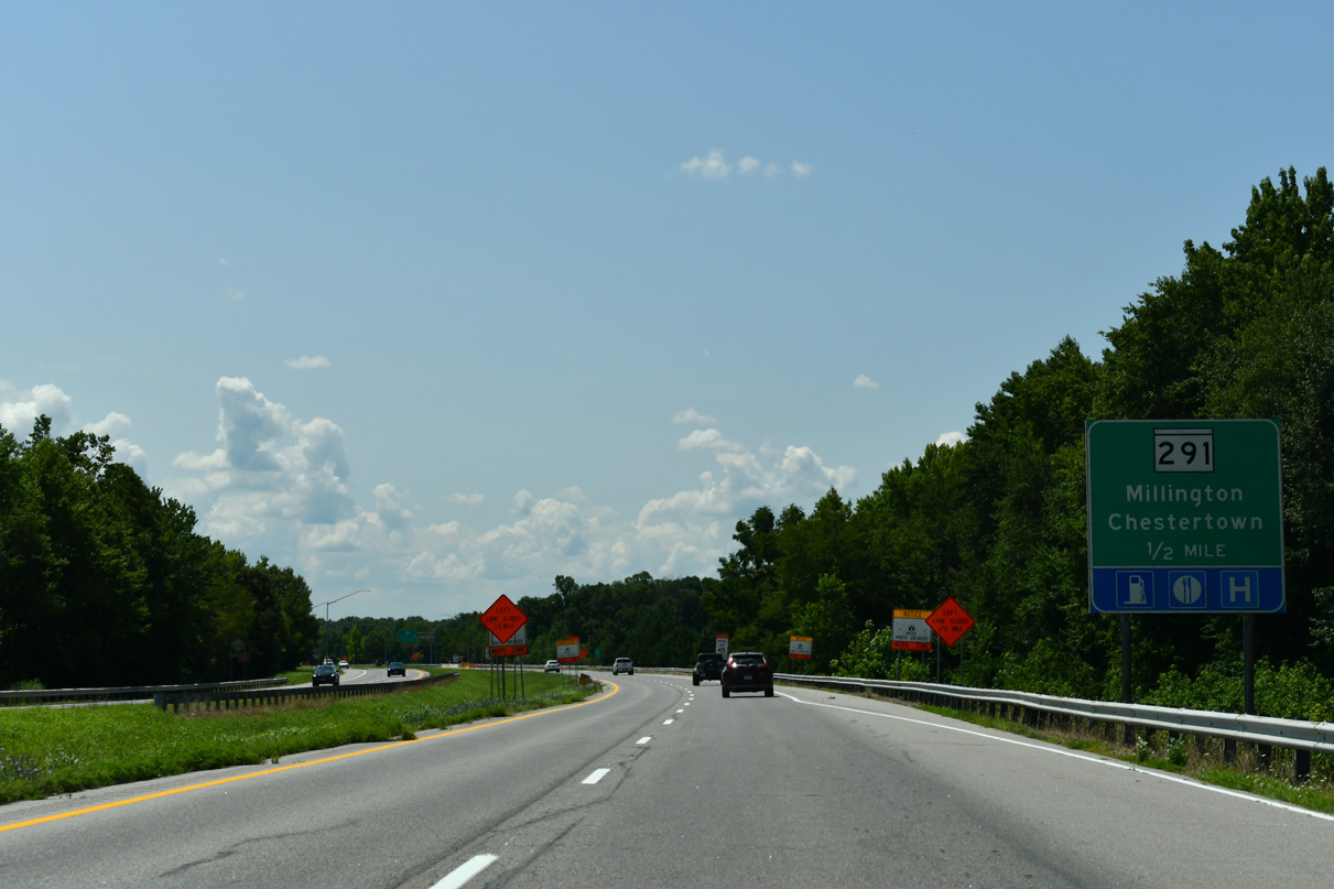
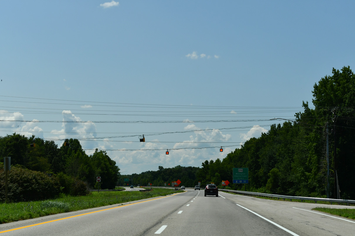
Forthcoming MD 291 is an 18.34 mile long route east to the state line at Delaware Route 6 and west to MD 20 (Chestertown Road) in the Kent County seat of Chestertown.
12/25/25
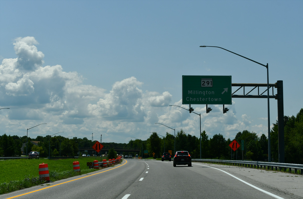
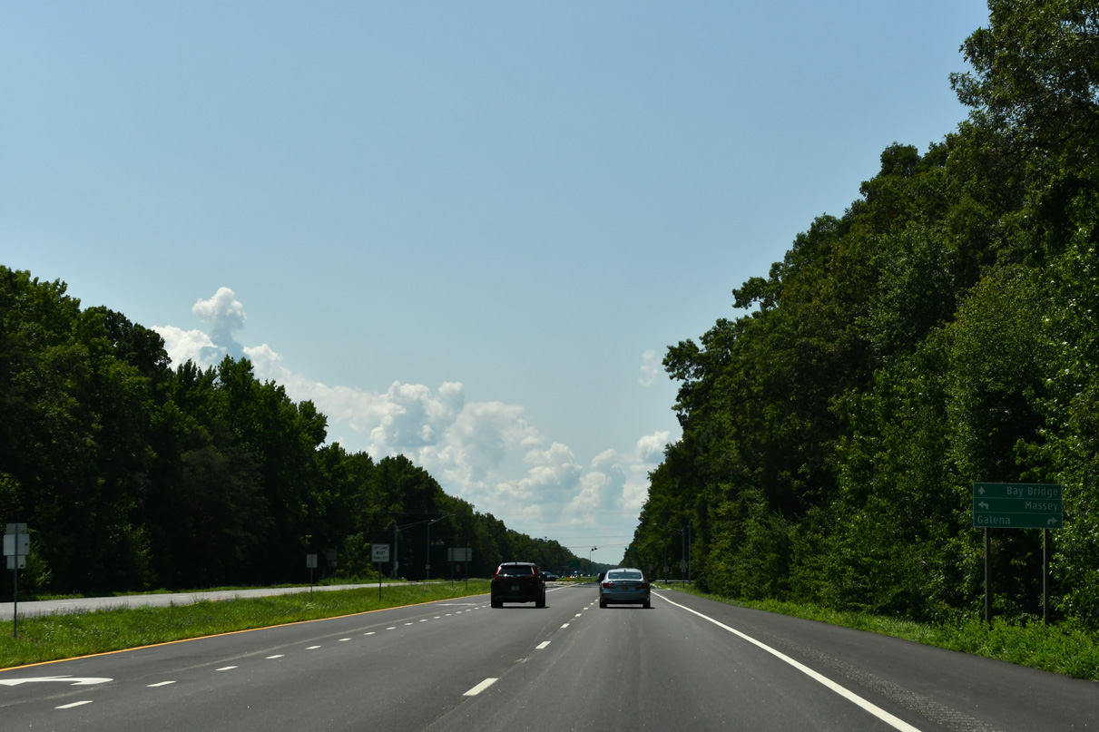
Right in right out (RIRO) ramps link U.S. 301 southbound with adjacent Edge Road (MD 701A) and northbound with Howard Johnson Road (MD 701) just north of respective roundabouts with MD 291 (River Road). MD 291 meets MD 313 east 1.5 miles in the town of Millington.
12/25/25
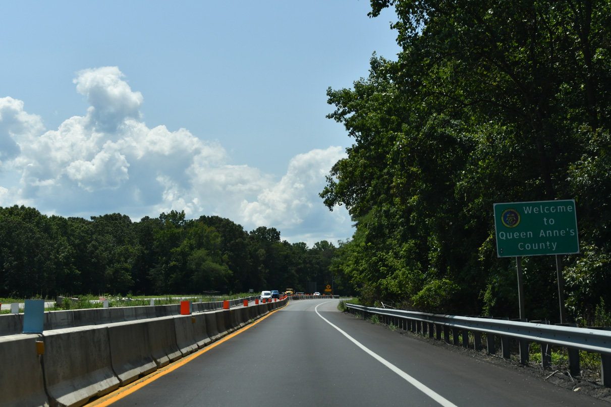
U.S. 301 crosses the Chester River 38 miles from the Chesapeake Bay Bridge.
07/27/24

Crossing the Chester River, U.S. 301 enters northern Queen Anne's County.
07/27/24
U.S. 301 travels 27.98 miles southwest from the Kent County line to the overlap with U.S. 50 at Queenstown.
07/27/24
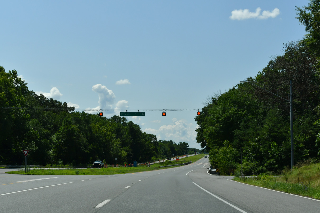
Powers Lane east and Pfaltzgroff Road north come together on U.S. 301 near Piney Ridge.
07/27/24
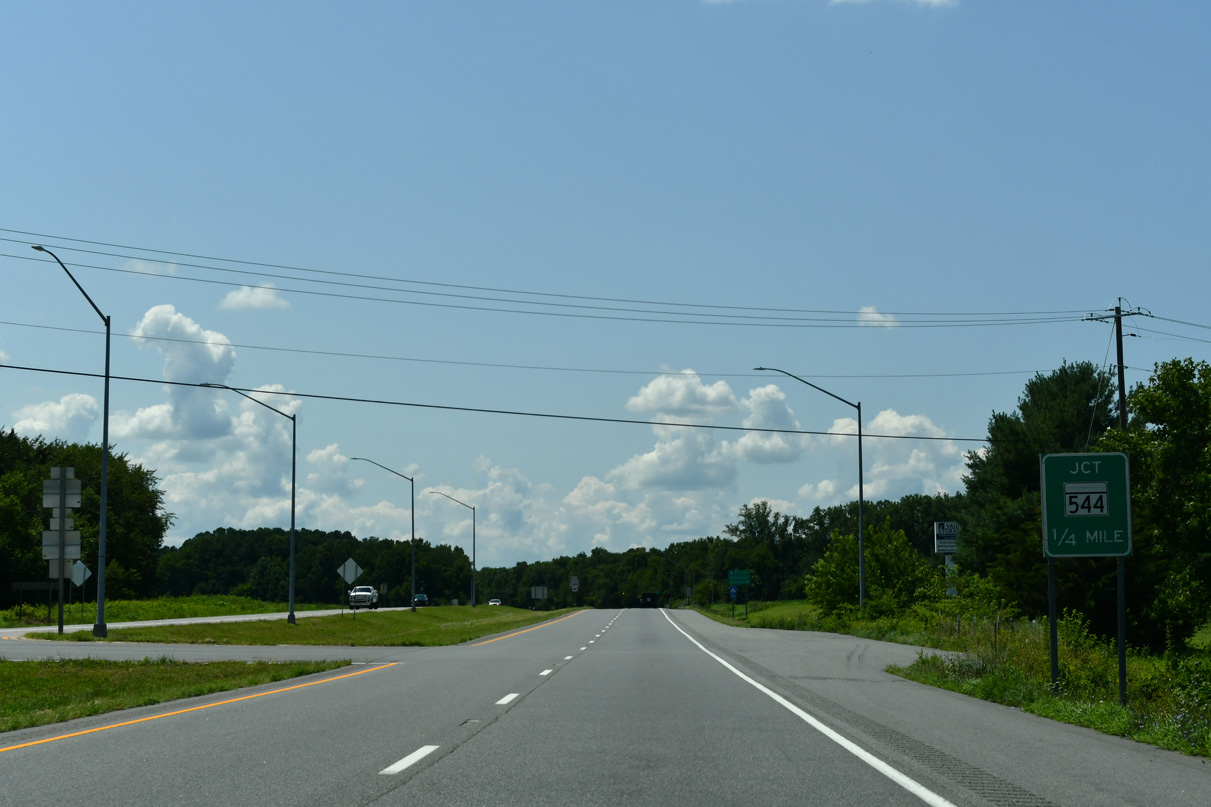
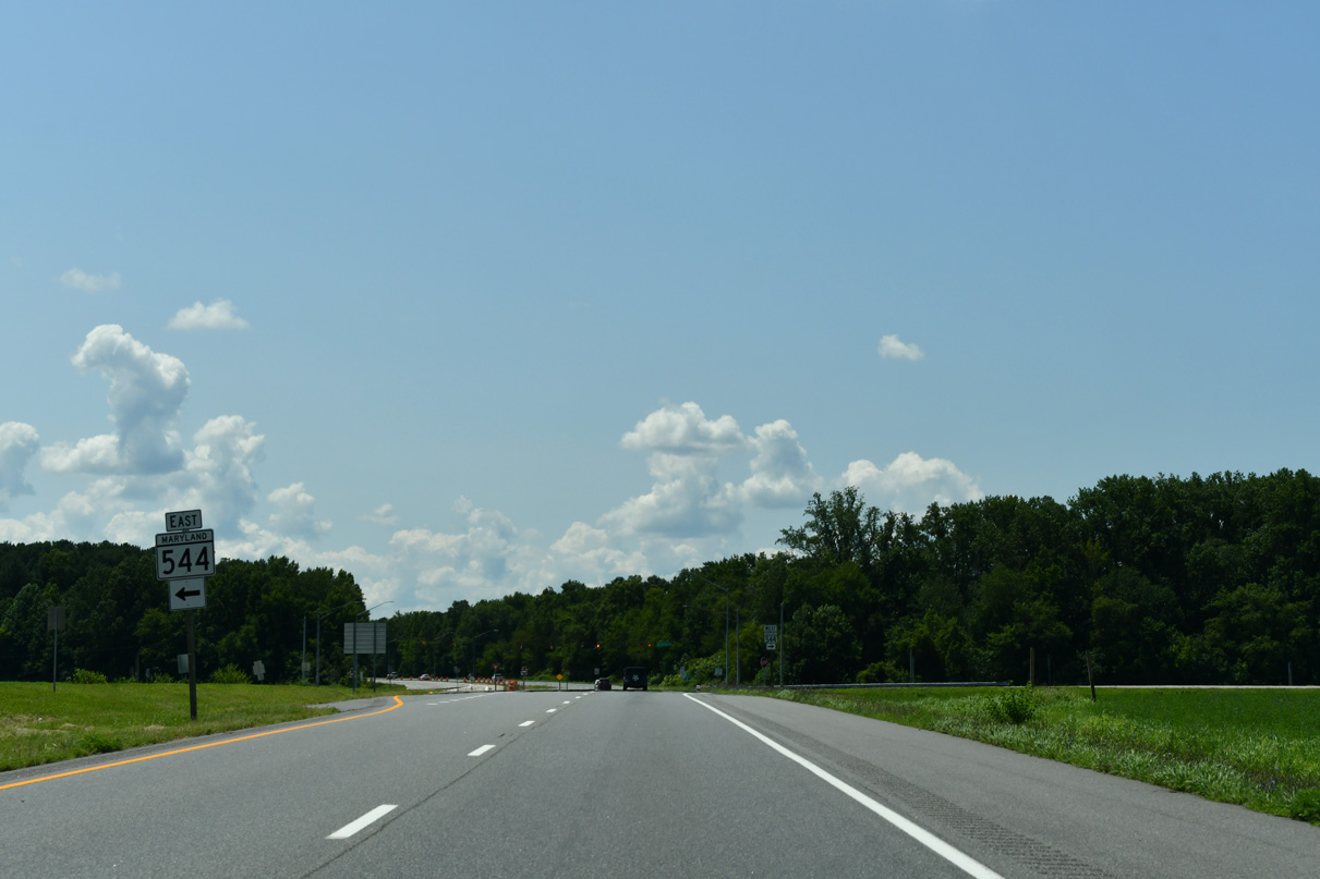
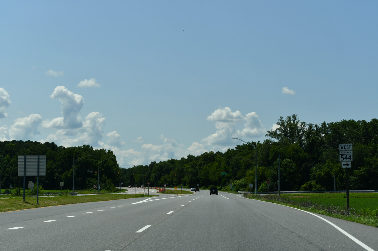
U.S. 301 meets MD 544 (McGinnes Road) at a J-turn intersection in a quarter mile.
12/25/25
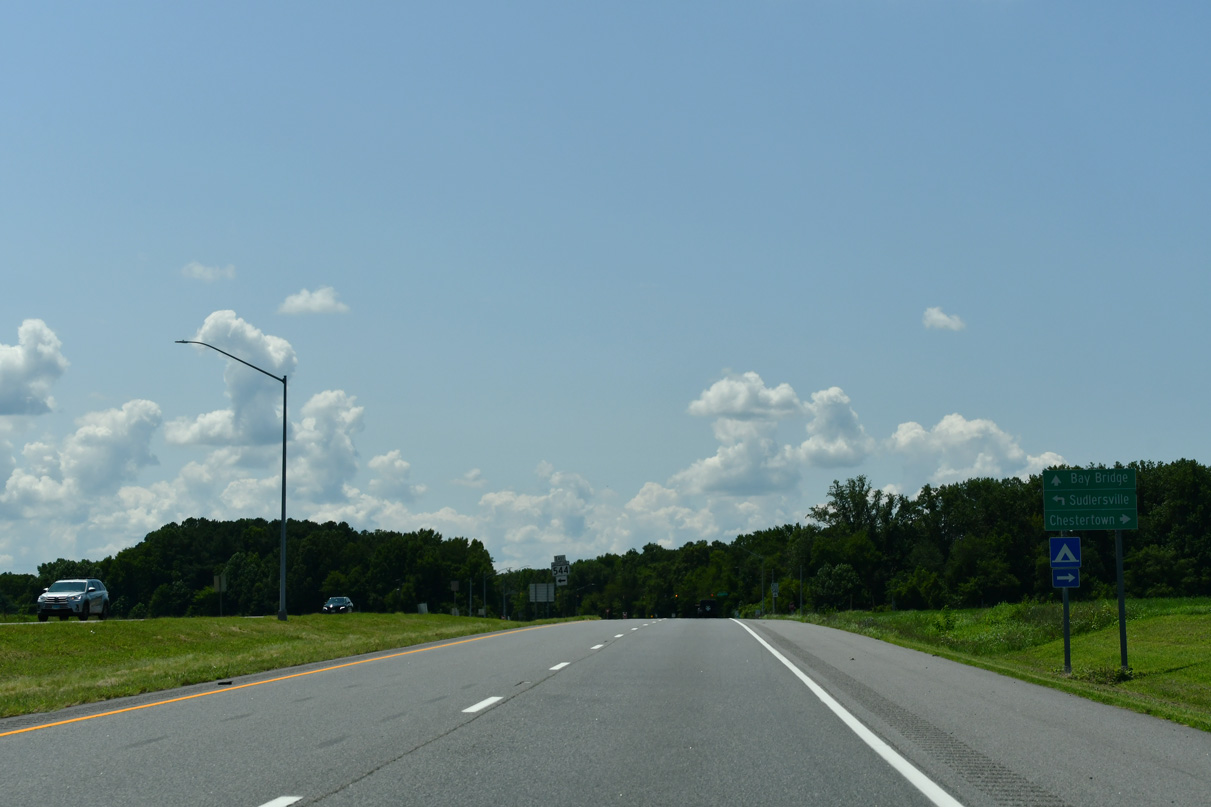
MD 544 (McGinnis Road) follows a linear course 9.29 miles southwest from U.S. 301 to MD 213 (Church Hill Road) near Chestertown.
07/27/24
MD 544A (McGinnis Road) links U.S. 301 with adjacent MD 313 (Millington Road) south to Sudlersville and east to Millington.
12/25/25
07/27/24
The intersection with MD 544 (McGinnis Road) was converted to use J-turns between 2004 and 2008.
07/27/24
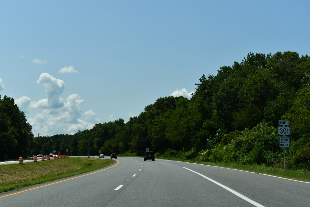
U.S. 301 southbound traverses areas of timberland along the ensuing stretch 36 miles from the Chesapeake Bay Bridge.
07/27/24
MD 290 (Dudley Corners Road) returns to U.S. 301 at a parclo B2 interchange south from Crumpton and Pondtown.
07/27/24
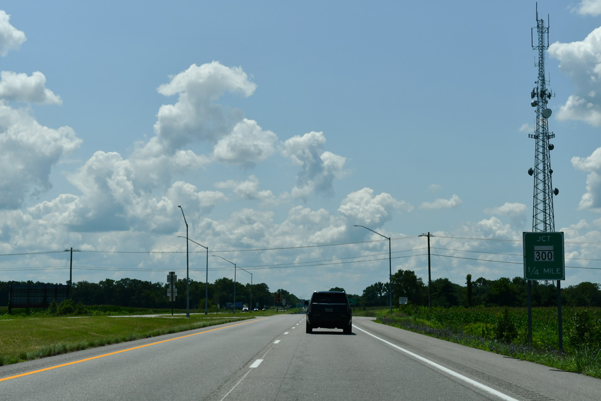
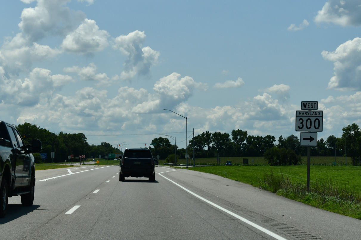
MD 290 (Dudley Corners Road) concludes 1.2 miles south of U.S. 301 (Blue Star Memorial Highway) at MD 300 (Sudlersville Road) and Benton Corner Road. MD 300 heads 1.8 miles east from MD 290 to MD 313 in the town of Sudlersville.
07/27/24
U.S. 301 curves southwest from MD 290 near Dudley Corners 2.1 miles to MD 300 (Sudlersville Road).
07/27/24
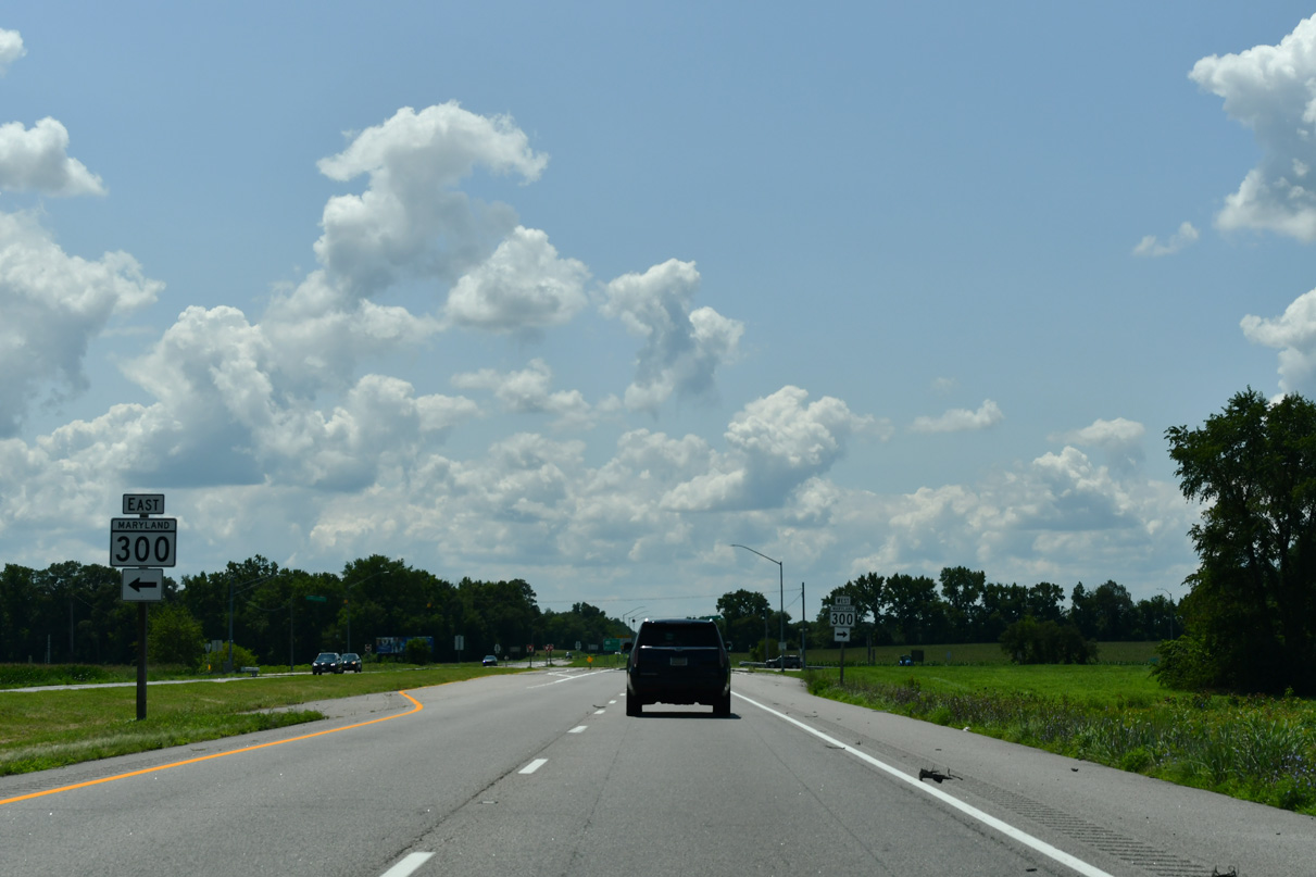
MD 300 extends 13.50 miles west from Delaware Route 300 to MD 213 at the town of Church Hill.
07/27/24
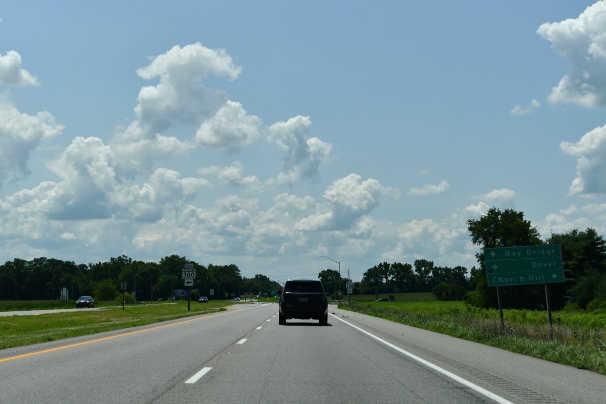
MD 300 (Sudlersville Road) in conjunction with SR 300, SR 44 and SR 8 in Delaware provides the main connection between the U.S. 301 corridor and the capital city of Dover. SR 300 continues 11 miles northeast from MD 300 to U.S. 13 in Smyrna.
07/27/24
MD 300 (Sudlersville Road) 3.87 miles west to MD 213 (Church Hill Road) was reinventoried as MD 300A following the change eliminating cross traffic at U.S. 301.
07/27/24
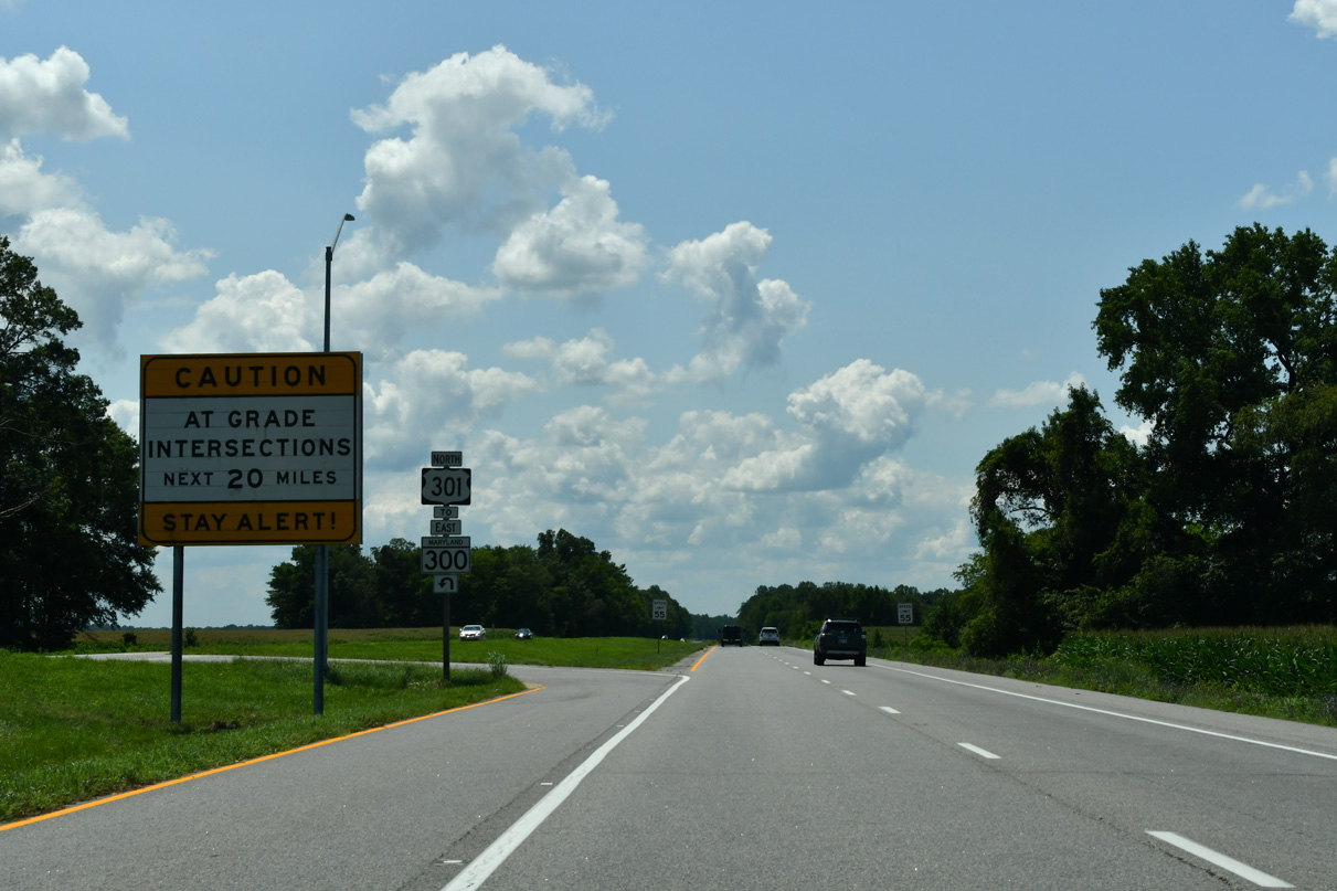
The intersection joining U.S. 301 with MD 300 (Sudlersville Road) was converted to use J-turns by 2008.
07/27/24

Photo Credits:
- Brent Ivy: 07/27/24
- Alex Nitzman: 07/27/24, 12/25/25
Connect with:
Page Updated Thursday January 08, 2026.