
U.S. 340

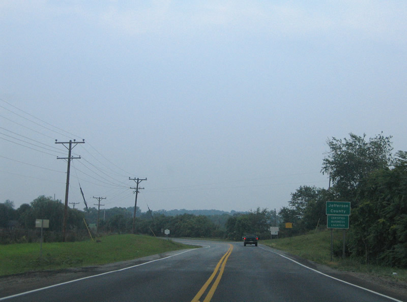
U.S. 340 downgrades from four to two lanes ahead of the Jefferson County line into West Virginia.
07/16/05
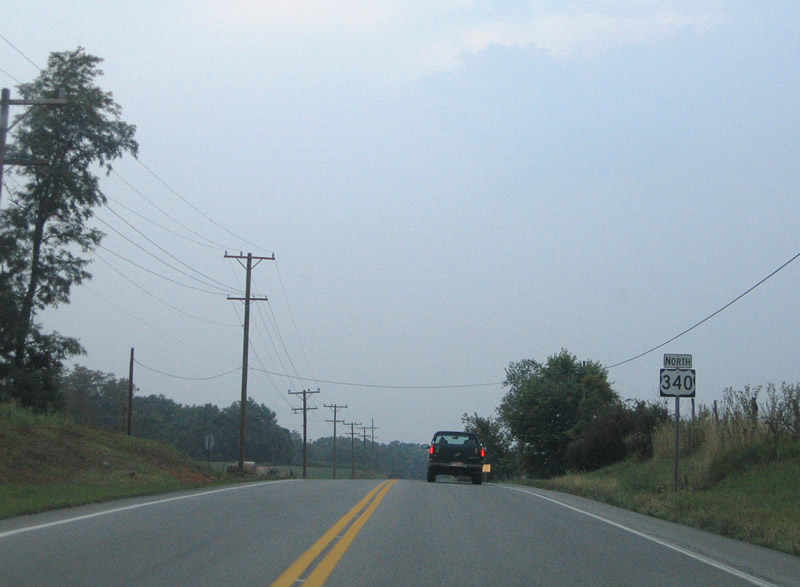
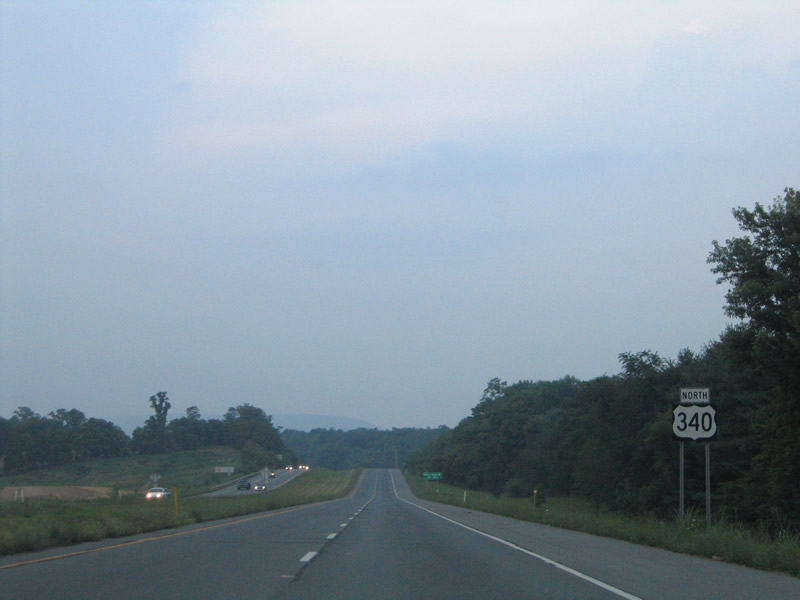
The first northbound reassurance marker posted for U.S. 340 along Berryville Pike.
07/16/05
North of the intersection with CR 21 (Meyerstown Road). CR 21 connects U.S. 340 at Rippon with CR 25 at Meyerstown.
07/16/05
U.S. 340 expands to a four lane expressway north of Wheatland. CR 340/3 (Roper North Fork Road) stems east at the following intersection.
07/16/05
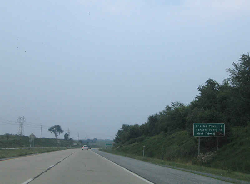
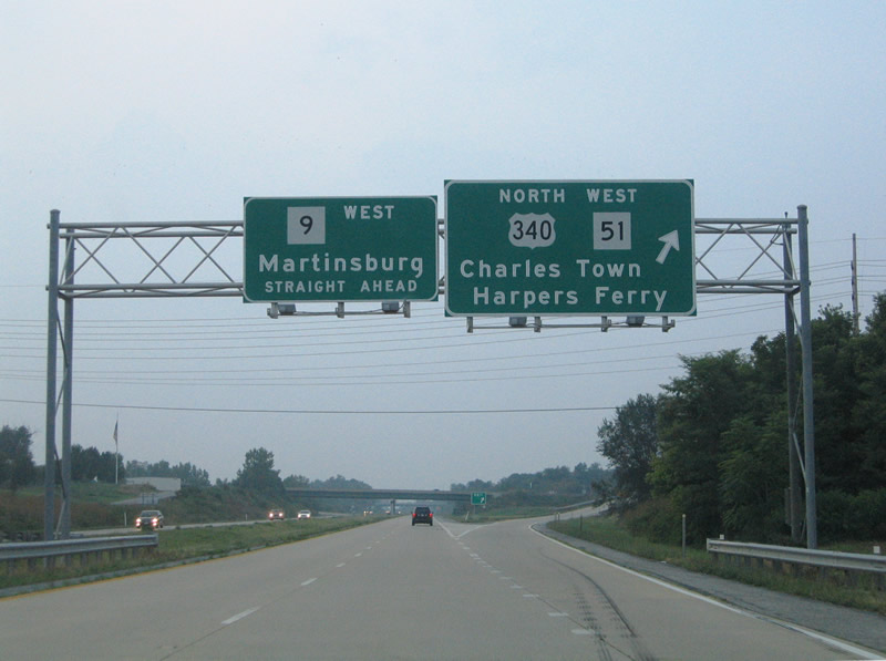
Continuing north from CR 340/3 on the U.S. 340 expressway. This button copy distance sign highlights the distances to Charles Town, the Jefferson County seat, Harpers Ferry (U.S. 340 east of Charles Town), and Martinsburg (WV 9 north of Charles Town).
07/16/05
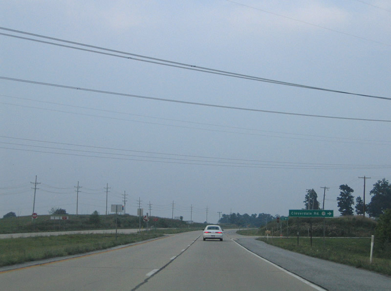
CR 340/19 provides a connection between the U.S. 340 (Berryville Pike) mainline and the adjacent frontage road (CR 340/20) to Cloverdale Road. Cloverdale Road is the main road through an adjoining rural subdivision, connecting CR 340/20 with Roper North Fork Road.
07/16/05
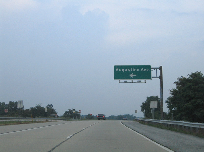
Augustine Avenue stems northward from the next intersection, carrying CR 340/18 into Charles Town. Augustine Avenue represents the original alignment of U.S. 340 to Washington Street (WV 51).
07/16/05
U.S. 340 bends eastward along the Charles Town and Ranson bypass beyond Augustine Avenue.
07/16/05
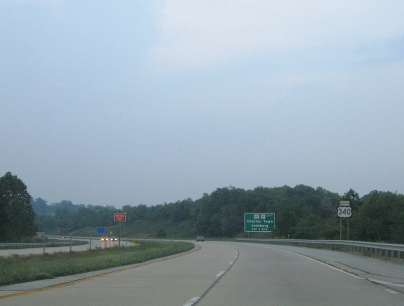
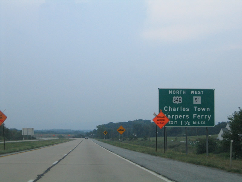
1.50 miles south of the merge with WV 9 (Charles Town Road) west and WV 115 (South George Street).
07/16/05
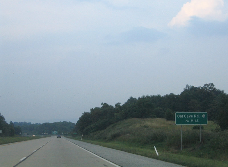
CR 36 (Old Cave Road) crosses U.S. 340 next between Augustine Avenue and CR 25 (Kabletown Road).
07/16/05
An unsignalized intersection joins U.S. 340 with CR 36 (Old Cave Road).
07/16/05
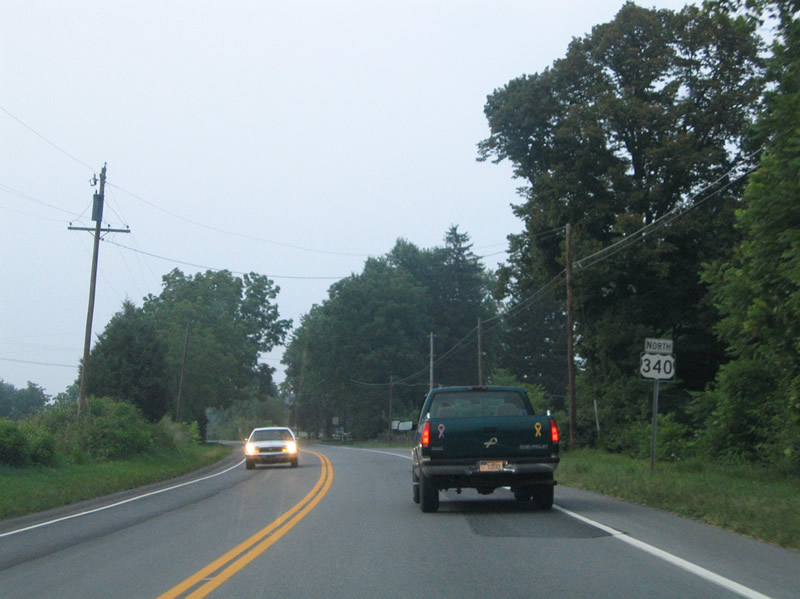
Northbound U.S. 340 reassurance marker posted after Old Cave Road.
07/16/05
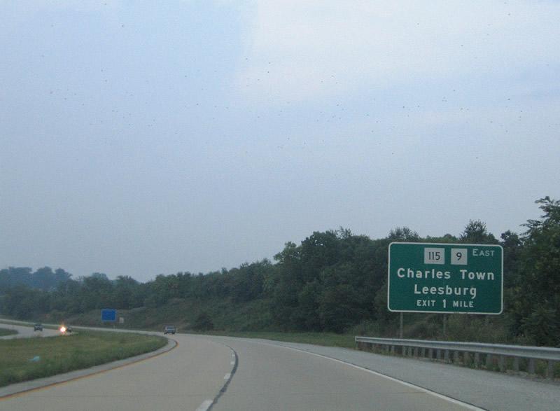
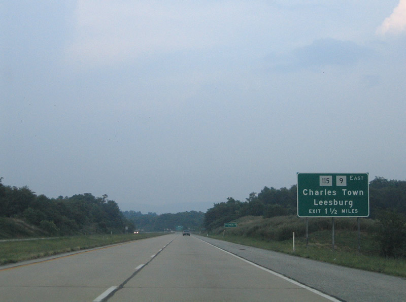
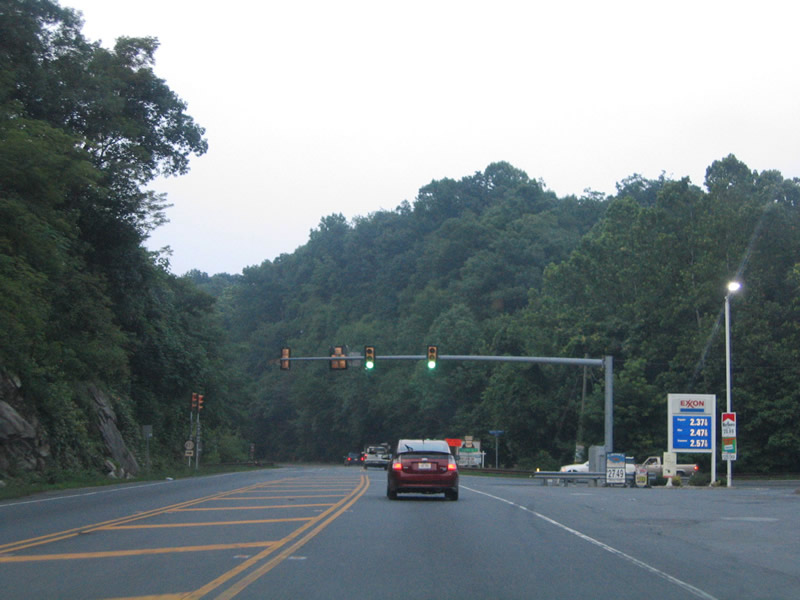
A folded diamond interchange joins WV 9 east and WV 115 north with U.S. 340 one mile ahead. WV 115 acts as the business loop to U.S. 340 through both Charles Town and Ranson. WV 9 west continues the U.S. 340 expressway north around Ranson to a new freeway alignment toward the Berkeley County line and Martinsburg.
07/16/05
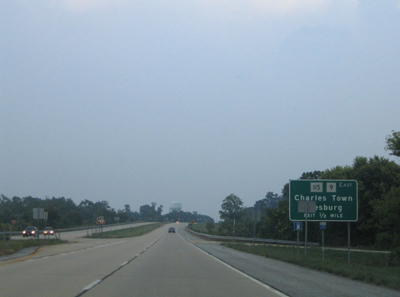
A vastly unused at-grade intersection lies along U.S. 340 one half mile south of the WV 9 east and 115 north off-ramp. WV 9 ventures east to Mechanicstown and Bloomery to the Shenandoah River and Mountain Mission. WV 115 begins at the interchange.
07/16/05
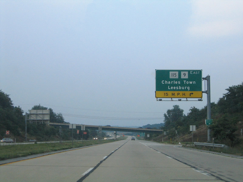
Drivers bound for downtown Charles Town via WV 115 (South George Street) depart U.S. 340 north. WV 9 (Charles Town Road) east continues into Virginia as Virginia 9 to Mechanicsville, Hillsboro, and Virginia 7 outside Leesburg.
07/16/05
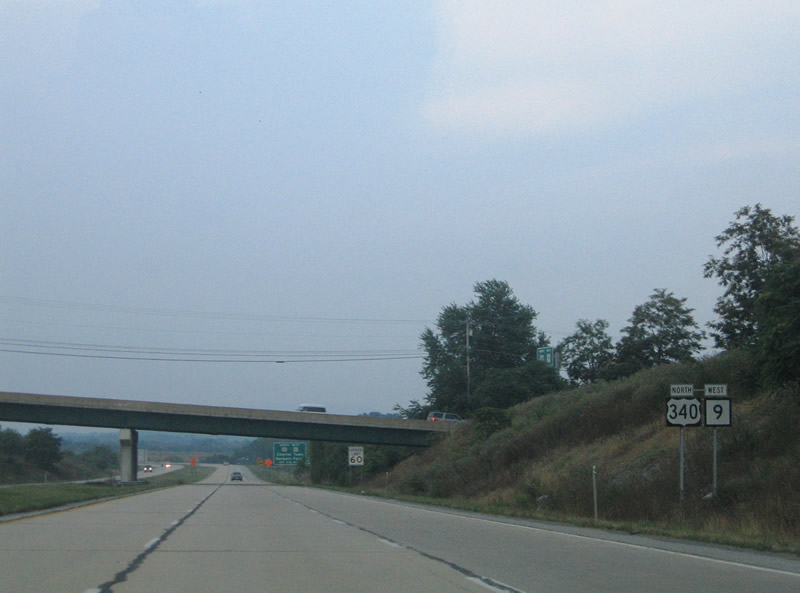
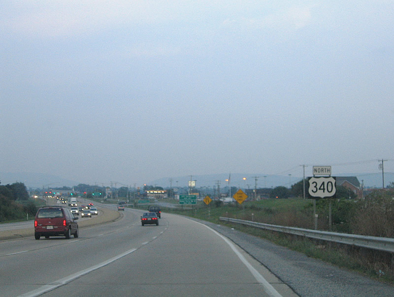
U.S. 340/Route 9 overlap briefly between Charles Town and Washington Street.
07/16/05
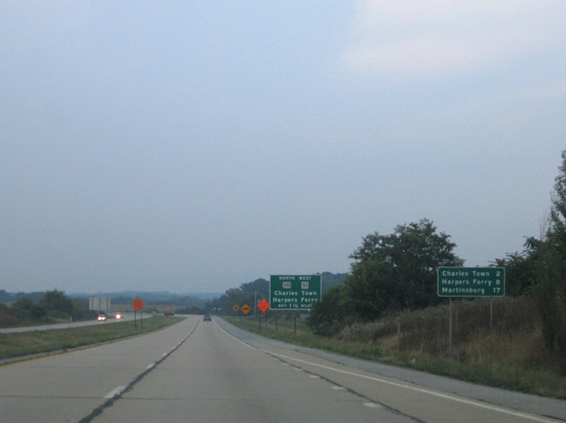
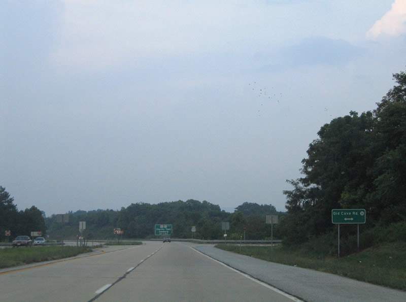
Charles Town (2 miles) and Harpers Ferry (8 miles) both lie ahead along U.S. 340 corridor while Route 9 continues northward 17 miles to Martinsburg.
07/16/05
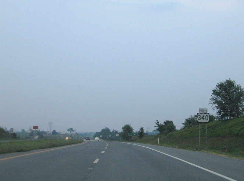
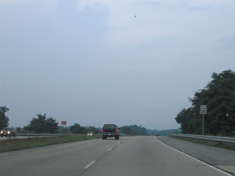
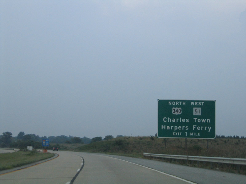
1.50 miles south of the U.S. 340 northbound split from the Charles Town bypass expressway with WV 9.
07/16/05
U.S. 340 turns easterly from Charles Town to Halltown, Bolivar, and Harpers Ferry. WV 51's westbound beginning ties in from Washington Street and downtown Charles Town. A trumpet interchange was built at this location for the future WV 9 expressway leading east to the Virginia state line. It is unclear when the new roadway will open.
07/16/05
WV 51 follows Washington Street west town to Middleway Pike west to Middleway near the county line. The route overall travels just 18 miles between Charles Town and WV 45 near Gerrardstown.
07/16/05
U.S. 340 departs the WV 9 expressway for its own expressway alignment east to Bolivar. WV 9 continues northwest of Ranson to WV 115, where the highway upgrades into a new freeway leading north to Kearnesville-Virginia Line Road. This freeway is proposed to continue north into Berkeley County outside of Martinsburg.
07/16/05
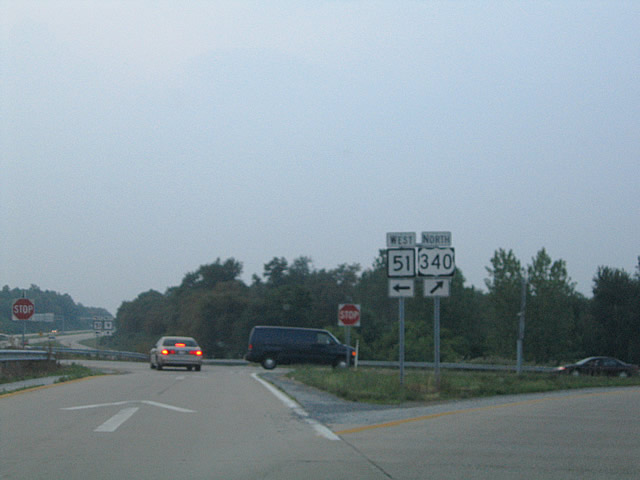
A parclo interchange joins U.S. 340, Route 9 and Route 51 west.
07/16/05
Leading east from Charles Town and WV 9 and 51, U.S. 340 is lined with some businesses, but those are relegated to frontage roads rather than the expressway mainline.
07/16/05
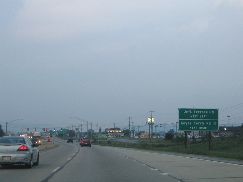
Approaching the signalized intersection for Jefferson Terrace Road north and CR 26 (Keyes Ferry Road) south. Access to Keyes Ferry Road is provided by the northbound side frontage road.
07/16/05
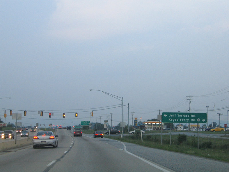
Jefferson Terrace Road consists of a loop through a small rural subdivision to the north. Keyes Ferry Road utilizes the northbound frontage road briefly before turning southeast to a quarry.
07/16/05
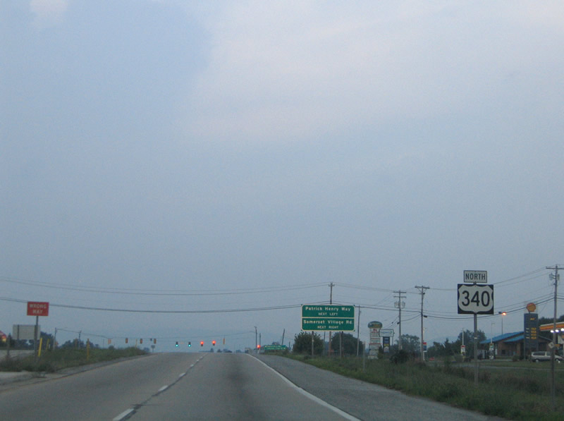
Large shopping centers occupy frontage along both sides of U.S. 340 at the Patrick Henry Way / Somerset Village Road intersection ahead.
07/16/05
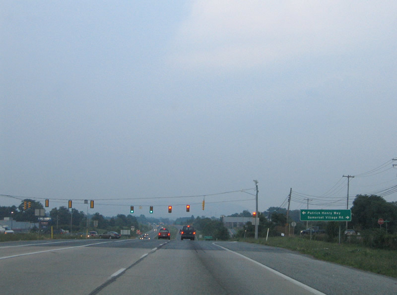
Somerset Village Road provides the access to the south side shopping center; Patrick Henry Way stems north to the other commercial plaza and an adjacent subdivision.
07/16/05
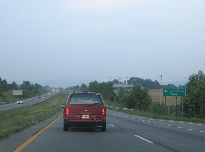
U.S. 340 is designated the William L. Wilson Freeway heading east toward Bolivar. The highway however is not a full freeway as at-grade intersections continue east to the four lane end.
07/16/05
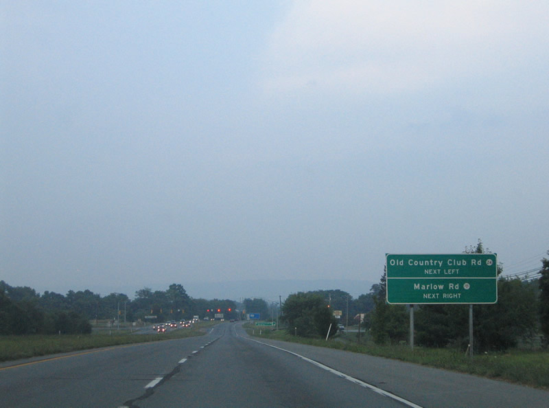
Meeting U.S. 340 at the next traffic light are CR 24 (Old Country Club Road) north and CR 340/4 (Marlow Road) south.
07/16/05
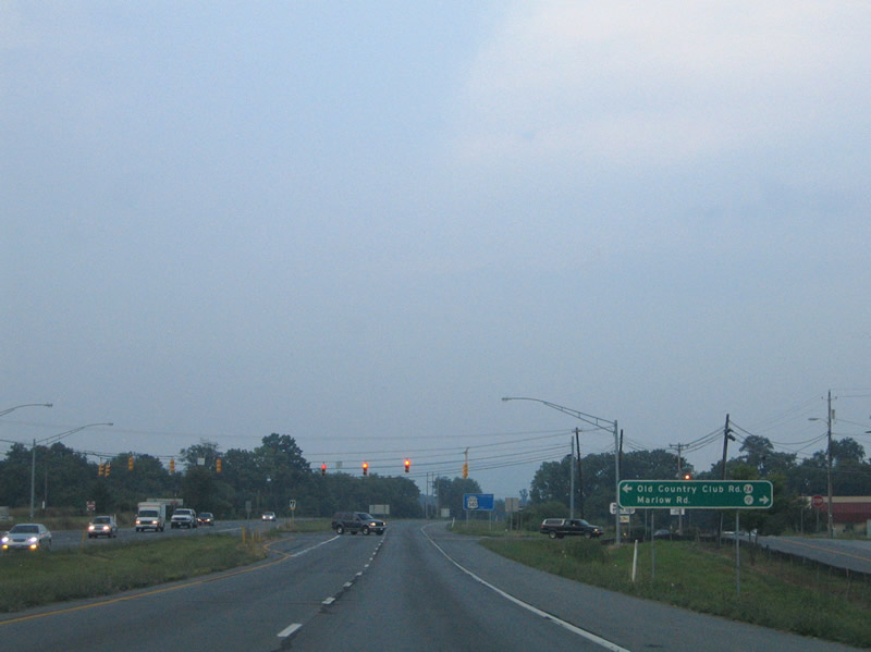
Old Country Club Road links U.S. 340 (William L. Wilson Freeway) with CR 17 (Flowing Springs Road) amid the Sleepy Hollow Country Club and several subdivisions. Marlow Road meanders south to Keyes Ferry Road and the future WV 9.
07/16/05
Continuing northbound along U.S. 340 from Marlow Road.
07/16/05
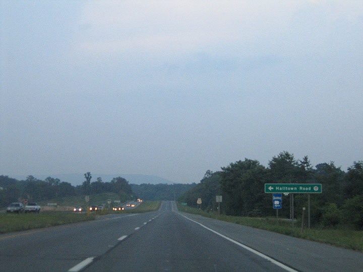
Halltown Road (CR 340/12) follows old U.S. 340 northeast to Halltown and WV 230 (Shepherdstown Pike).
07/16/05
U.S. 340 bypasses Halltown to the south.
07/16/05
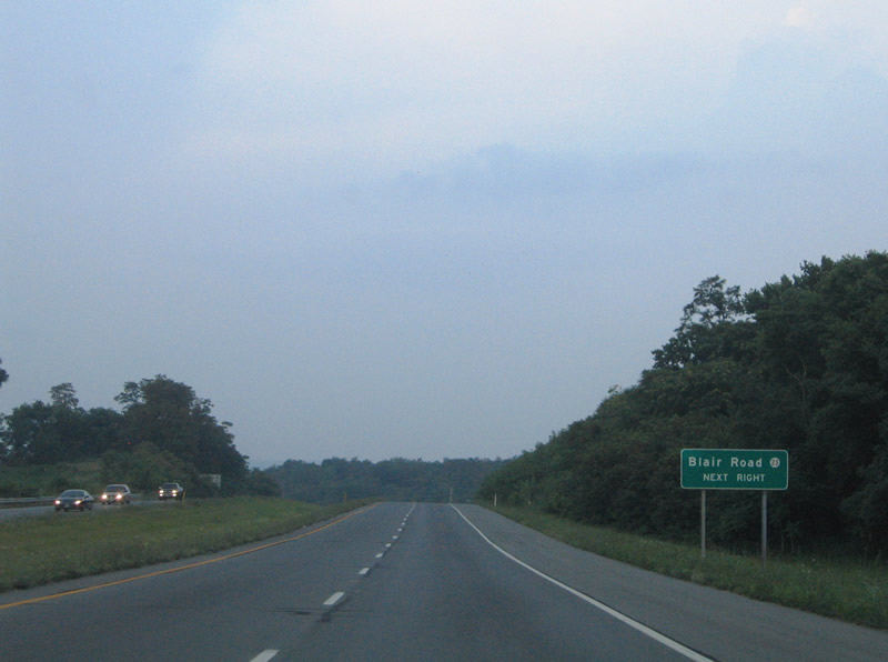
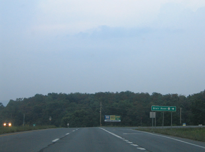
CR 23 (Blair Road) travels southeast from U.S. 340 to Blair and CR 27 (Millville Road) near Millville.
07/16/05
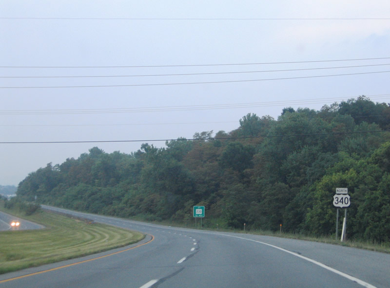
U.S. 340 (William L. Wilson Freeway) east at Blair Road south to the Shenandoah River.
07/16/05
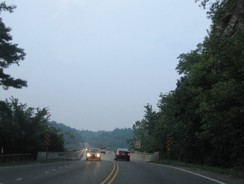
U.S. 340 kinks northward between Blair Road and WV 230.
07/16/05
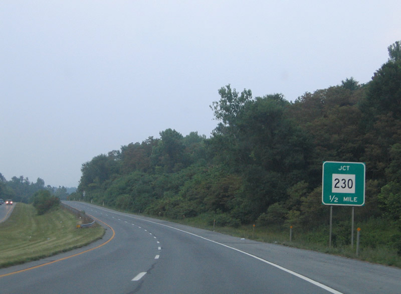
WV 230 (Shepherdstown Pike) ties into U.S. 340 from the southbound side frontage road (CR 340/13) and Halltown.
07/16/05
WV 230 begins and travels west to Halltown and north to Shepherdstown (WV 45 & 480) on its 9.2 mile alignment.
07/16/05
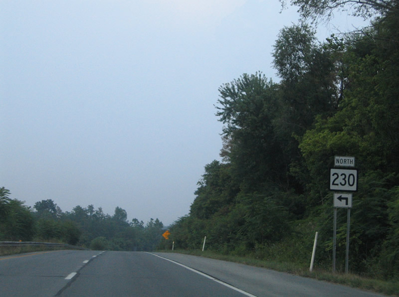
U.S. 340 northbound at the northbound beginning of WV 230. Shipley School Road (CR 340/12) ties into Shepherdstown Pike as the southbound side frontage road nearby. Koonces Road (CR 340/14) ties into the WV 230 intersection as the northbound side frontage road.
07/16/05
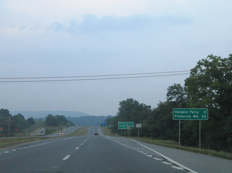
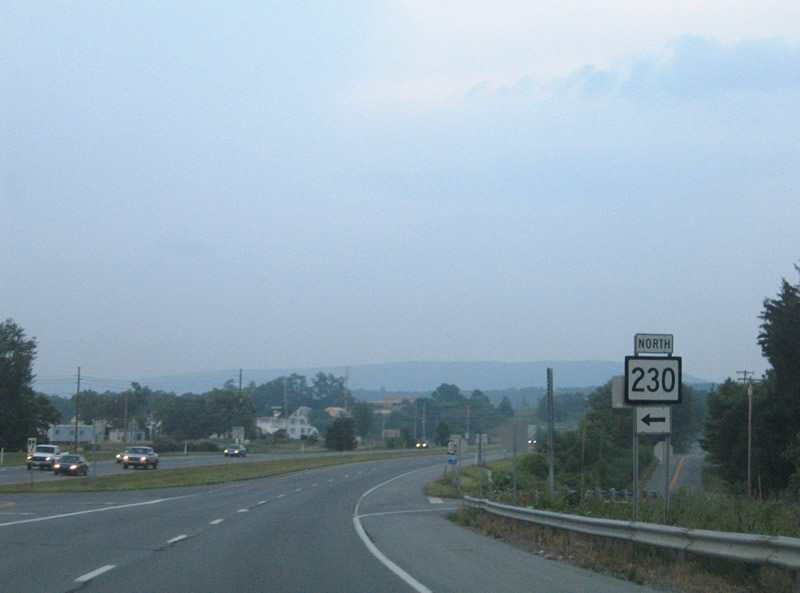
U.S. 340 continues east two miles to Harpers Ferry and 23 miles to Frederick where the highway ends.
07/16/05
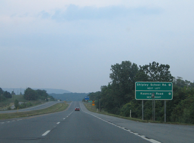
The frontage roads of Shipley School and Koonces Roads returns to U.S. 340 a short distance east of WV 230.
07/16/05
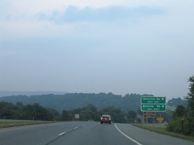
Approaching junction CR 27 (Bakerton Road north / Millville Road south) on U.S. 340 north.
07/16/05
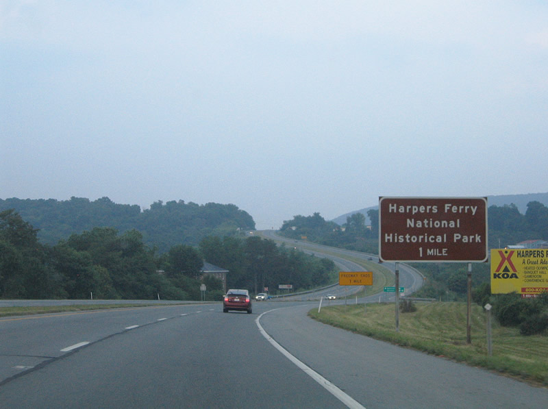
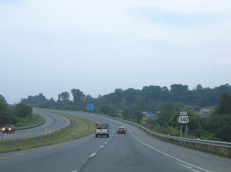
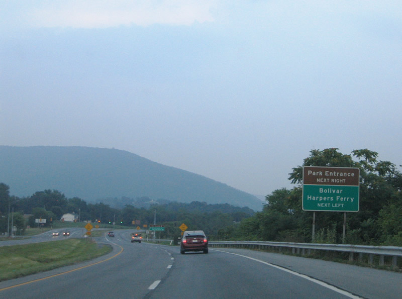
The entrance to Harpers Ferry National Historical Park lies one mile ahead on U.S. 340 at Bolivar.
07/16/05
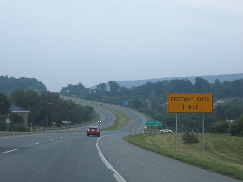
Freeway ends sign posted near the CR 27 intersection for the end of the four lane section of U.S. 340. Technically it should read "Expressway Ends".
07/16/05

CR 27 follows Bakerton Road north to CR 28 and Bakerton. Millville Road carries the county road south to Millville and the Shenandoah River.
07/16/05
U.S. 340 cut a path across local roads east of CR 27 on the final push of controlled access highway into Bolivar.
07/16/05
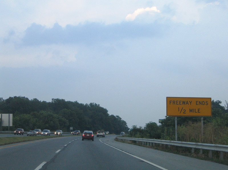
Freeway ends sign posted one half mile west of the U.S. 340 transition to two lane road.
07/16/05
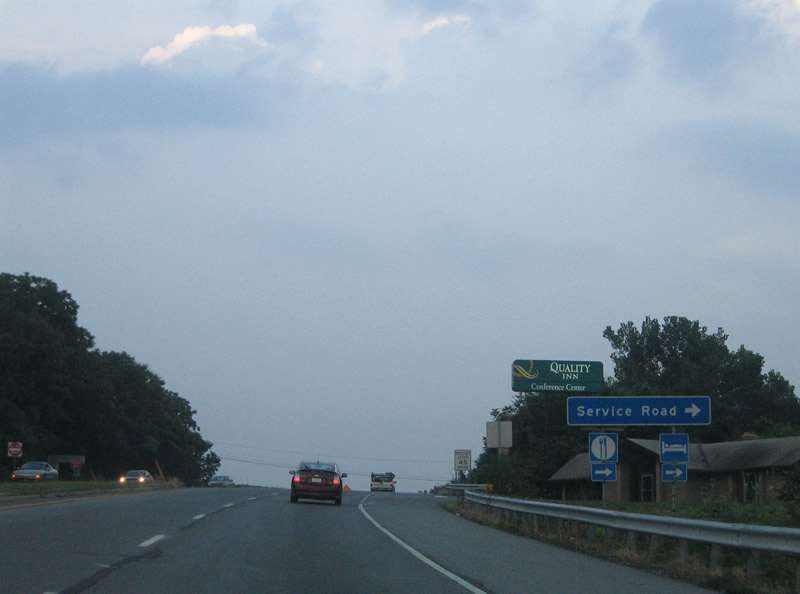
A hotel occupies land along the expressway portion of U.S. 340 outside Bolivar. A blue service road sign directs motorists to the establishment.
07/16/05
U.S. 340 Alternate (Washington Street) ties into U.S. 340 via West Washington Street opposite the entrance to Harpers Ferry National Historical Park (Shoreline Drive). The alternate route is not signed from U.S. 340 but is recognized on the Jefferson County DOT Map.
07/16/05
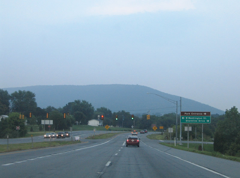
Shoreline Drive leads south to the main parking area of Harpers Ferry National Historical Park and also east along the Shenandoah River. CR 340/17 ties into Shoreline Drive from a KOA Campground nearby. Washington Street meanwhile represents old U.S. 340 through the towns of Bolivar and Harpers Ferry.
07/16/05
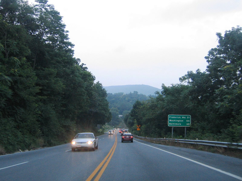
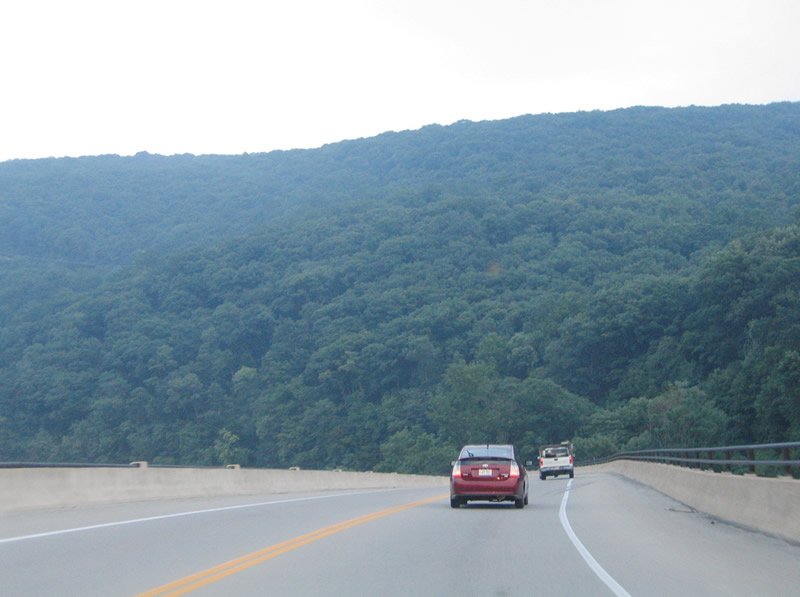
U.S. 340 transitions from an expressway into a forested two lane roadway on the south side of Bolivar. A distance sign references Baltimore and Washington for tourists returning from Harpers Ferry.
07/16/05
U.S. 340 turns southeast to span the Shenandoah River at Harpers Ferry.
07/16/05
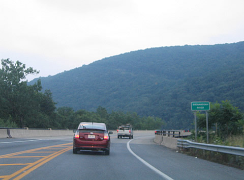
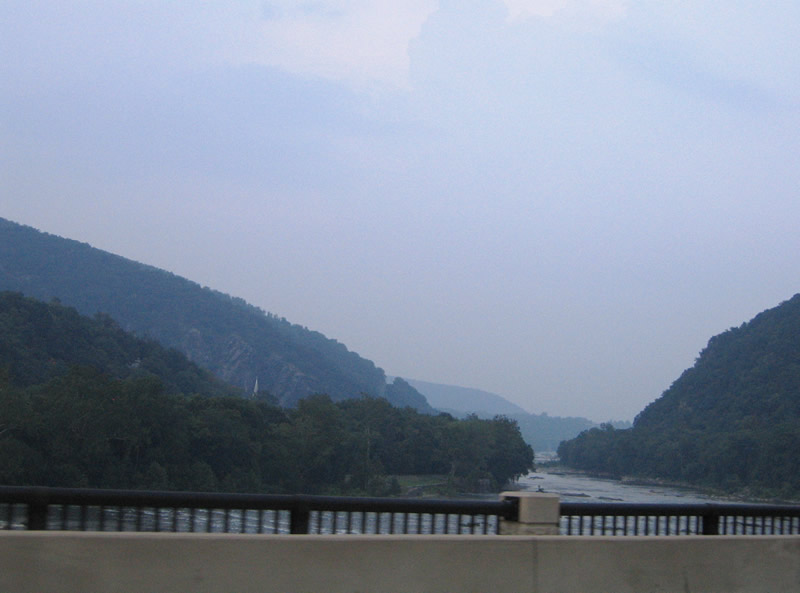
The Shenandoah River flows northward into the Potomac at the easternmost point of the state of West Virginia.
07/16/05
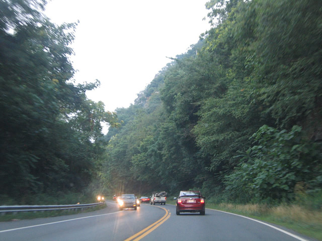
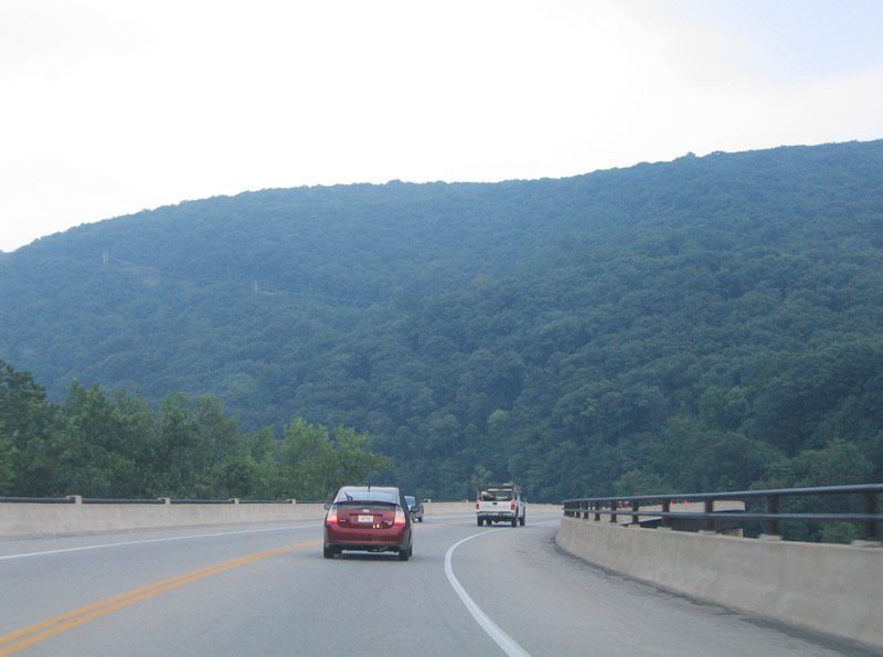
U.S. 340 emerges from the bridge near the mouth of the Shenandoah River. The two lane highway travels between the river and the Loudon Heights of the Blue Ridge Mountains.
07/16/05
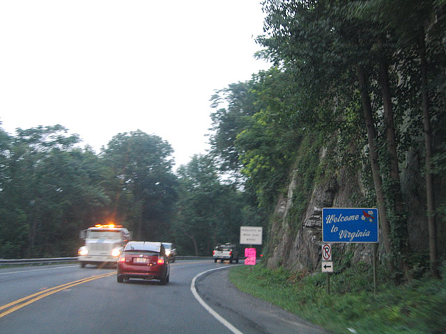
Welcome to Virginia sign posted on the 0.6 mile long stretch of U.S. 340 through Loudon County.
07/16/05
SR 671 (Harpers Ferry Road) leads south to Loudon Heights and SR 9 (Charles Town Pike) at Mechanicsville.
07/16/05
U.S. 340 curves northward again, crossing the Potomac River into the state of Maryland.
07/16/05
Photo Credits:
- Alex Nitzman: 07/16/05
Page Updated Friday December 05, 2008.