
U.S. 395 North - Adams County
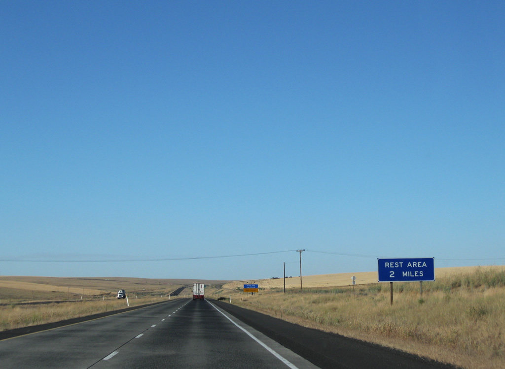
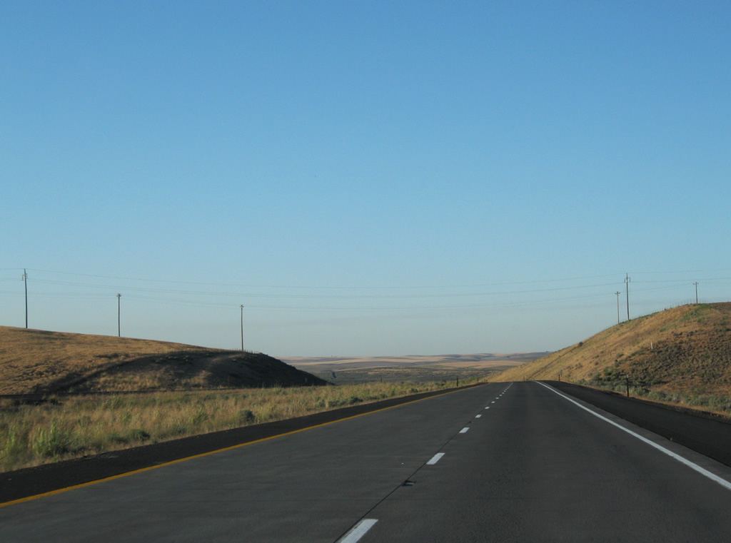
The first rest area facility available to U.S. 395 northbound motorists in Washington is located next to the diamond interchange with SR 26. The rest area used to be directly accessible from U.S. 395, but when the exchange with SR 26 was built, the at-grade intersection with the rest area access road was removed.
08/03/11
SR 26 and U.S. 395 come together five miles north of the Franklin County line. SR 26 constitutes a 133.52 mile route from Interstate 90 near Vantage to U.S. 195 at Colfax.
08/03/11
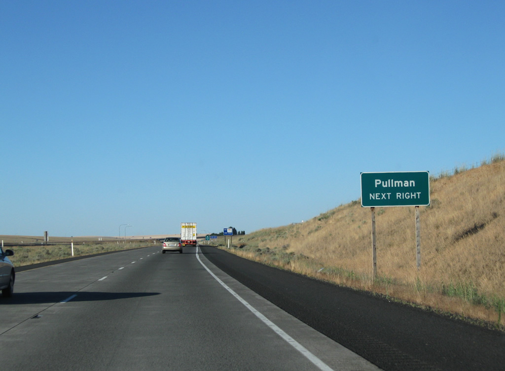
Long distance travelers bound for Pullman are directed onto SR 26 east to U.S. 195 south for the city near the Idaho state line.
08/03/11
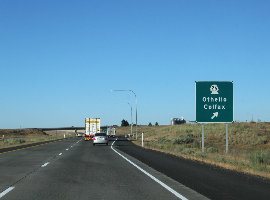
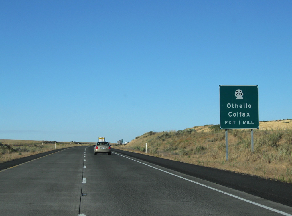
Northbound at the ramp departure to SR 26 on U.S. 395 north. Othello resides 20 miles to the west along the state route. A 22 mile drive awaits eastbound SR 26 to Washtucna (junction SR 261).
08/03/11
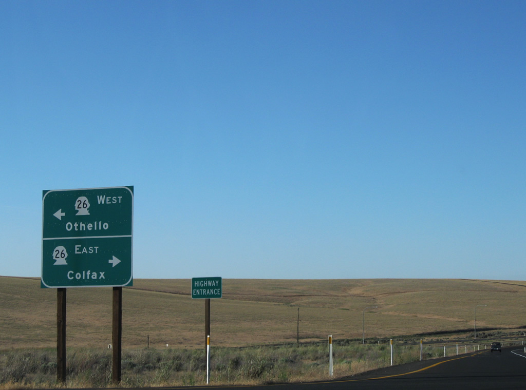
Guide sign posted at the end of the U.S. 395 off-ramp to SR 26. The Hatton Coulee Rest Area lies one half mile to the east. Note the "Highway Entrance" signage for the expressway return ramp.
08/03/11
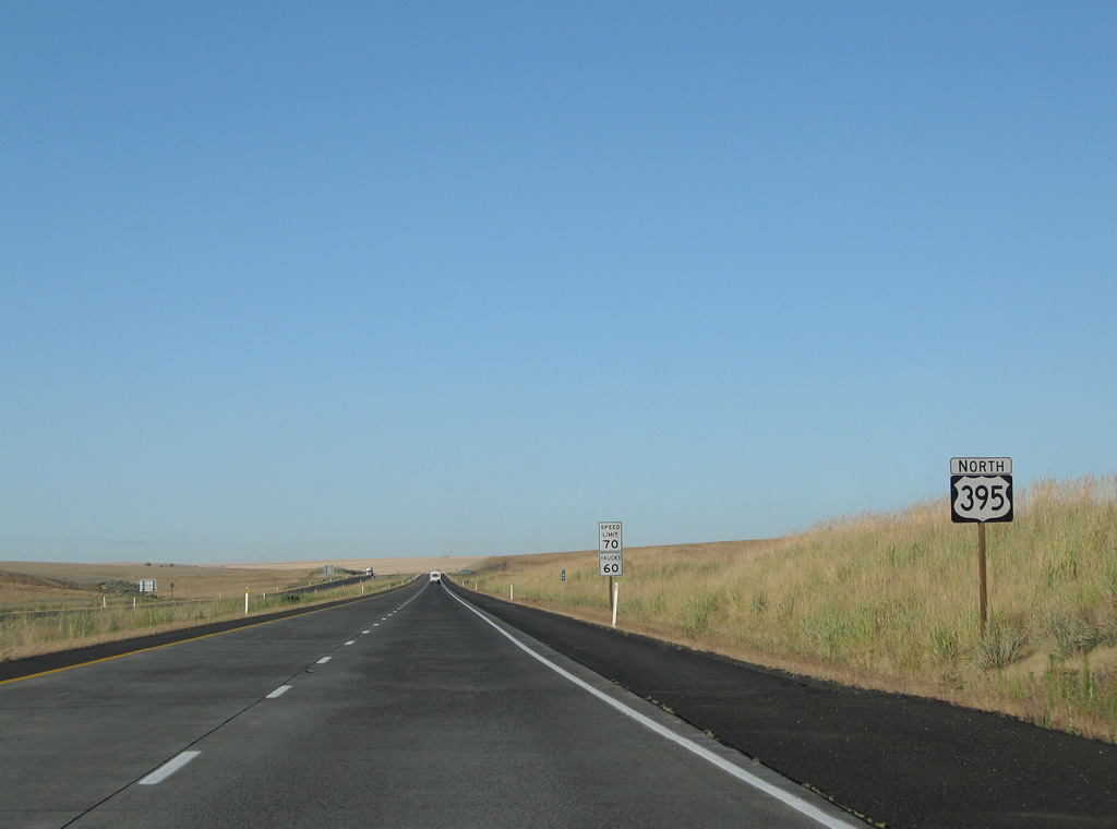
Continuing northeast from SR 26 on U.S. 395 north through Hatton Coulee.
08/03/11
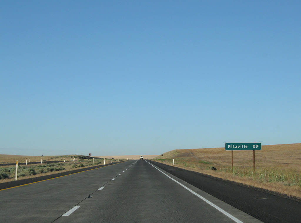
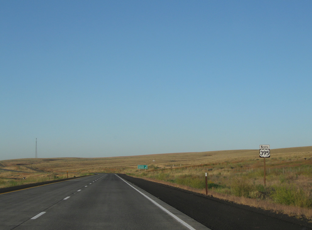
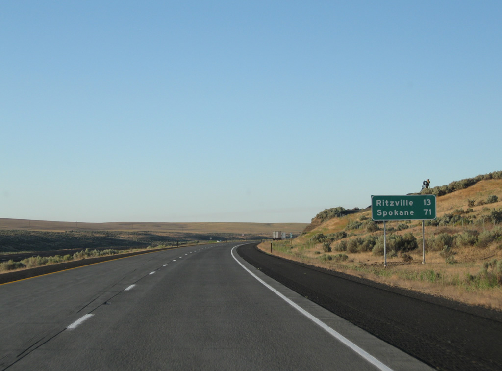
Ritzville is 29 miles to the north on an otherwise empty stretch of U.S. 395.
08/03/11
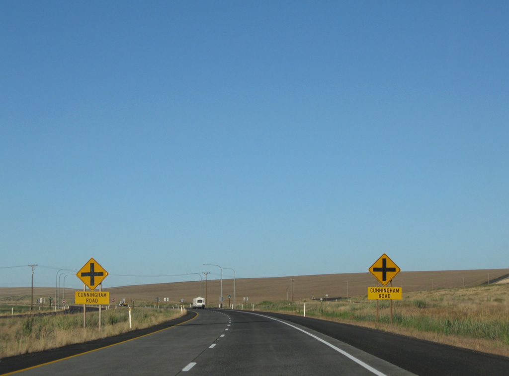
Cunningham Road ventures west from Foulkes Road (old U.S. 395) to the settlement of Cunningham along the BNSF Railroad.
08/03/11
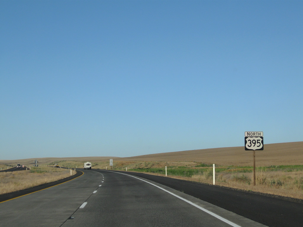
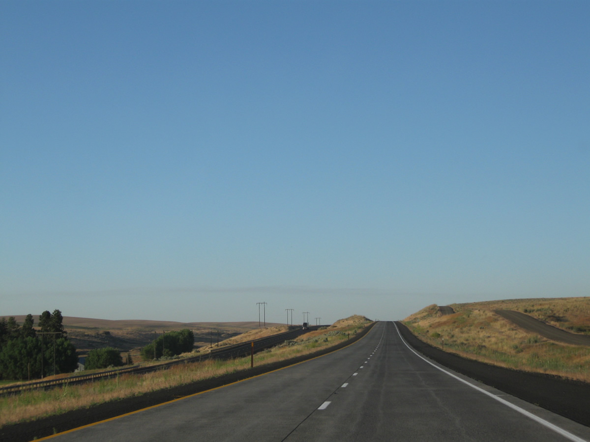
U.S. 395 again upgrades to a freeway from Cunningham Road northward to the merge with Interstate 90.
08/03/11
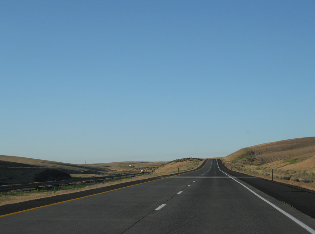
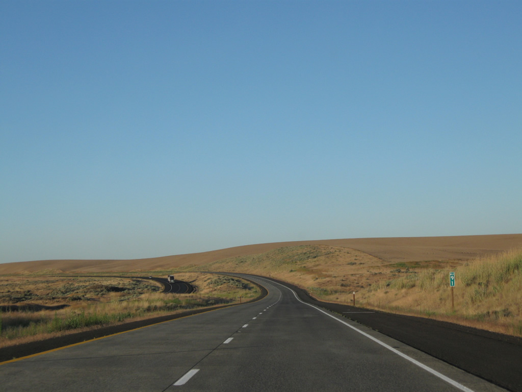
U.S. 395 retakes its original alignment north of Cunningham Road and follows Hatton Coulee toward the town of Lind. Access to adjacent Foulkes, Neilson and Wahl Roads is unavailable along the stretch.
08/03/11
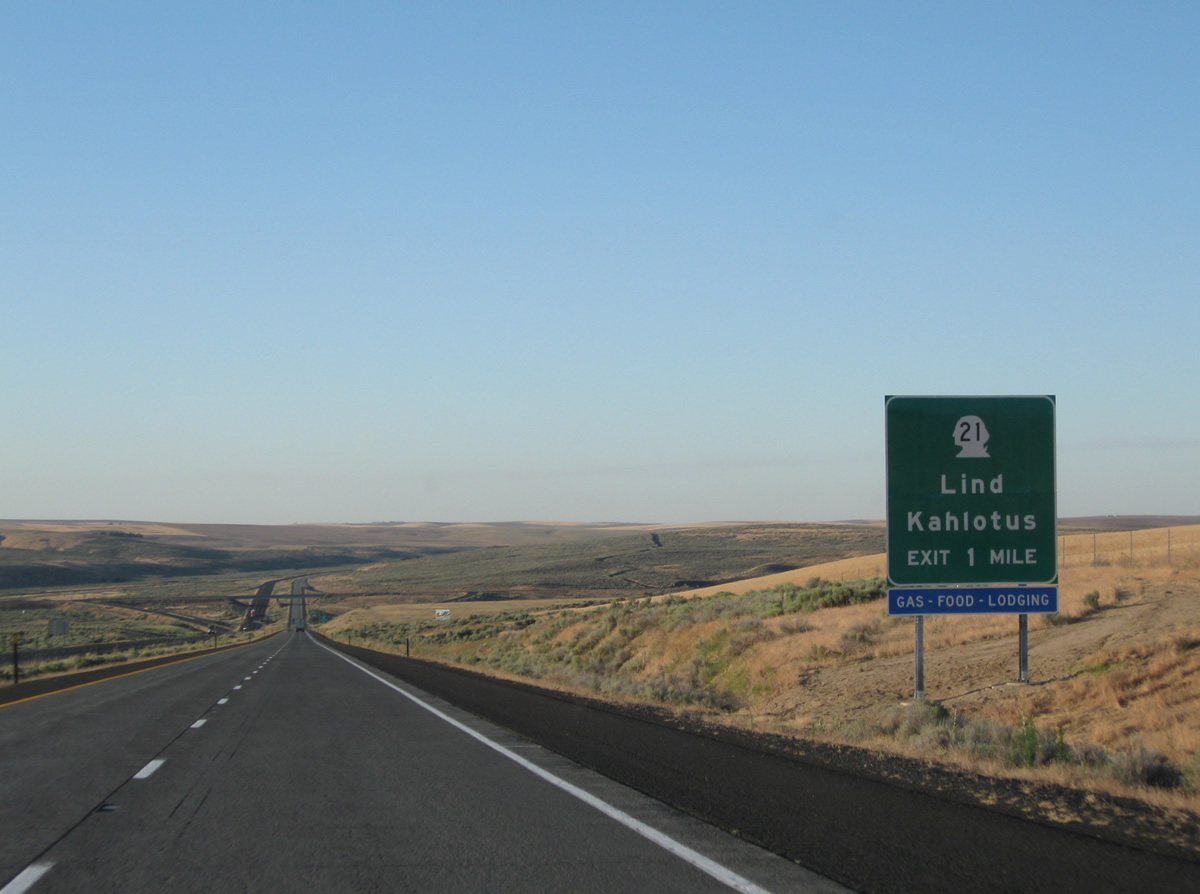
Lowering into Lind Coulee ahead of the diamond interchange with SR 21 near Lind. SR 21 comprises a 191.29 mile route from SR 260 at Kahlotus to the Canadian border at Danville.
08/03/11
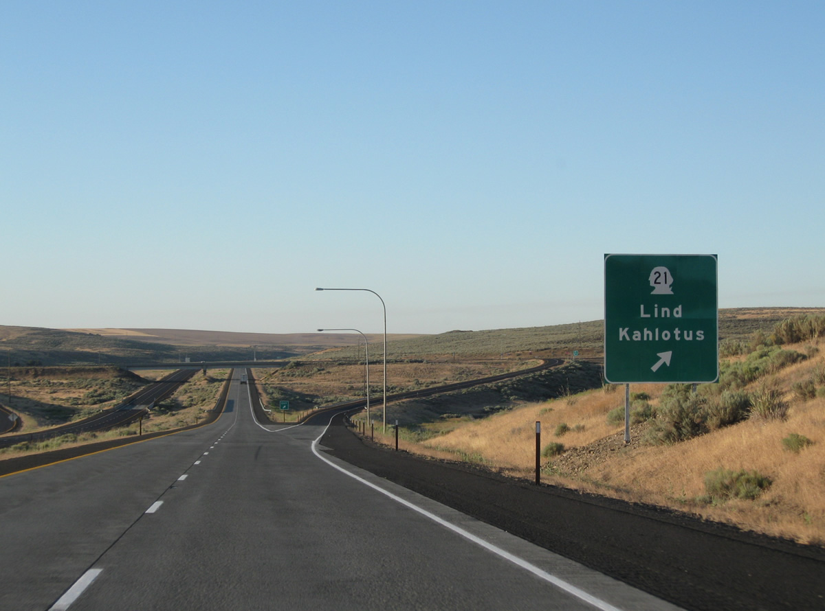
SR 21 travels east-west along 1st, I, and 2nd Streets through Lind just west of U.S. 395. The state route meets Interstate 90 at Exit 206 in 13 miles otherwise.
08/03/11
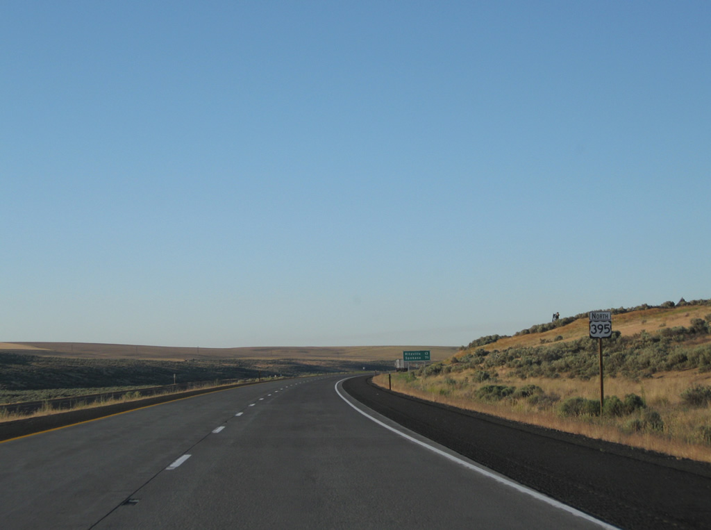
Spokane reappears at this reassurance shield and distance sign combo north of SR 21. The city of 208,916 is an hour to the east.
08/03/11
U.S. 395 lines the hills above Paha Coulee to Paha.
08/03/11

Paha-Packard Road leads north from the U.S. 395 diamond interchange with Dewald Road to Exit 215 of Interstate 90 and ultimately Davis Road on the Lincoln County line.
08/03/11
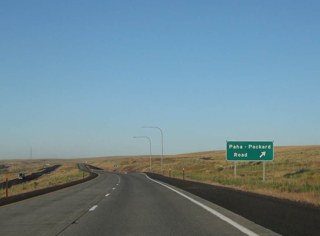
Drivers bound for Paha-Packard Road north to Packard depart U.S. 395 north. Dewald Road connects the freeway with the hills to the south and north of Paha.
08/03/11
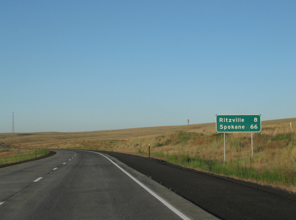
U.S. 395 follows Paha Coulee on the eight mile drive to Ritzville.
08/03/11
Plager Road travels alongside U.S. 395 northbound in this scene near Paha.
08/03/11
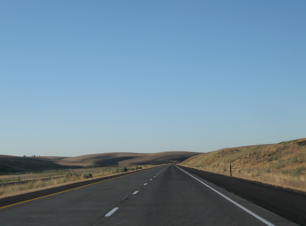
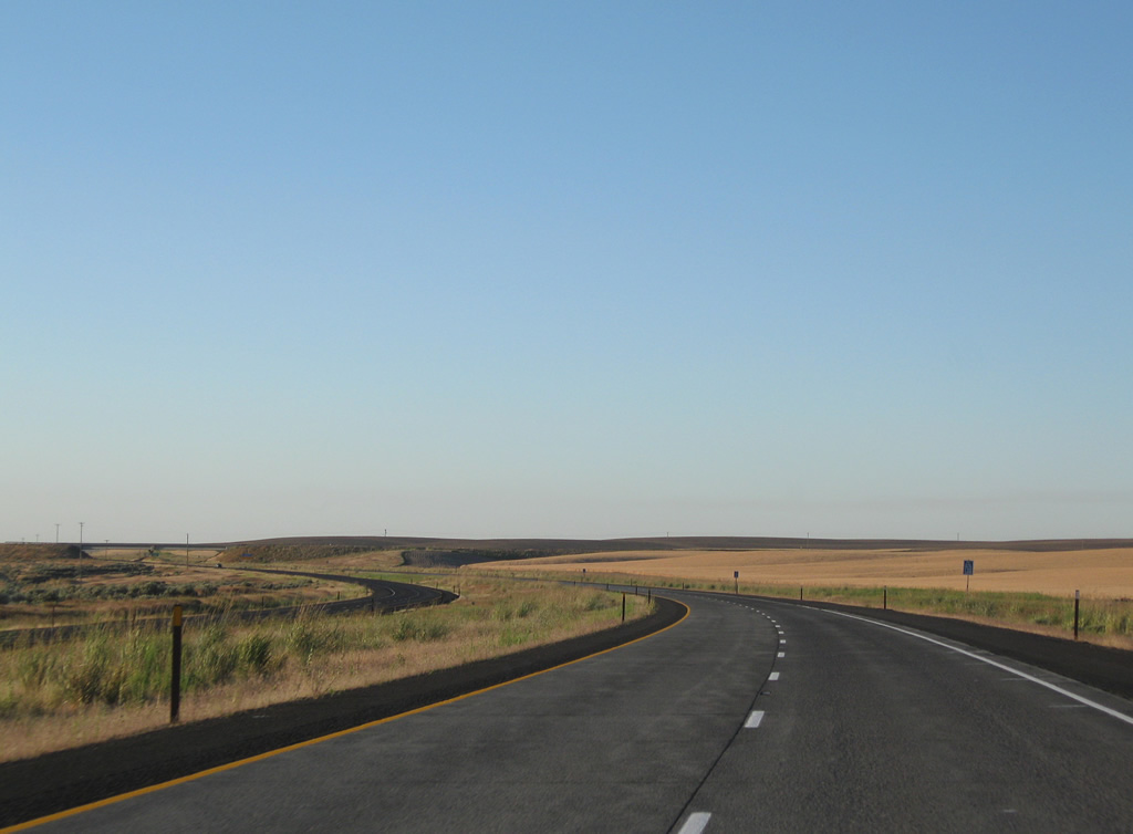
Curving northward ahead of the Urquhart Road overpass along U.S. 395 north. There are no access points along a nine mile stretch.
08/03/11
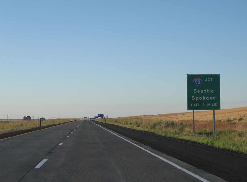
One mile south of Interstate 90 near Ritzville on U.S. 395 north. Interstate 90 travels 41 miles east from Moses Lake to merge with U.S. 395 north on the 60 mile drive to Spokane.
08/03/11
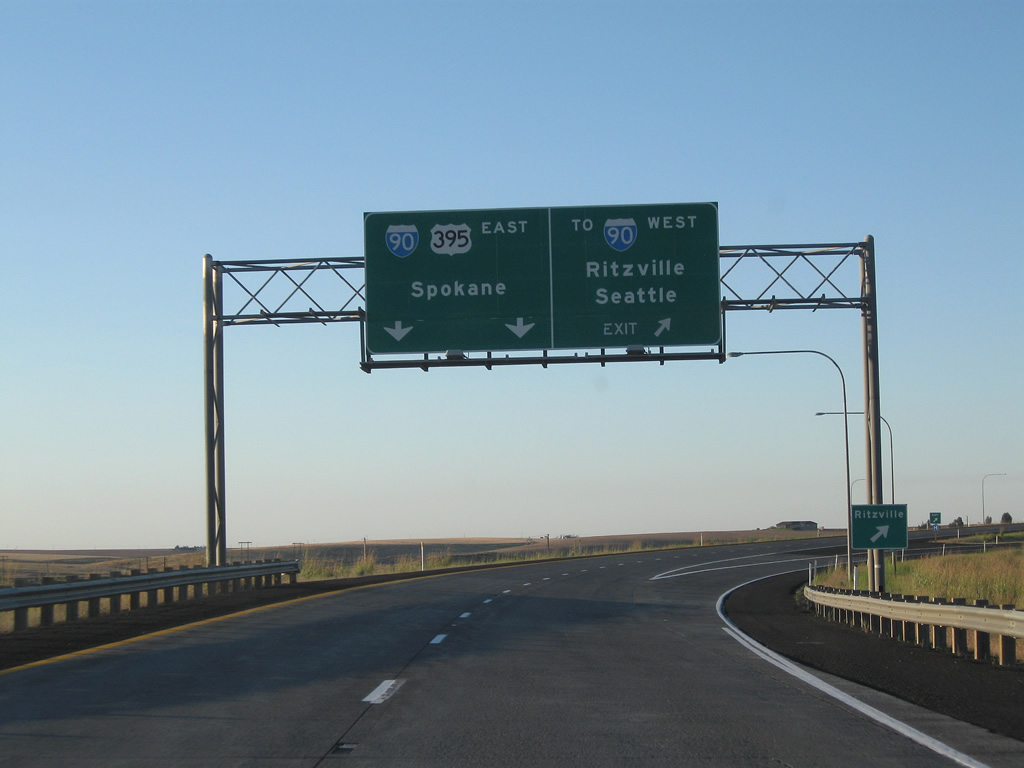
A wye interchange carries drivers from U.S. 395 north onto West 1st Avenue (former U.S. 10 & 395) to its diamond interchange with Interstate 90 west to Seattle. This movement replaced an original folded-cloverleaf interchange between I-90 and original U.S. 395.
08/03/11

U.S. 395 northbound otherwise defaults onto Interstate 90 east via an adjacent wye interchange. Exit 221 with Division Street provides a second opportunity to reach Ritzville in lieu of old U.S. 395.
08/03/11
Photo Credits:
- Andy Field: 08/03/11
Connect with:
Page Updated Thursday October 13, 2011.