
U.S. 421 South
 South
South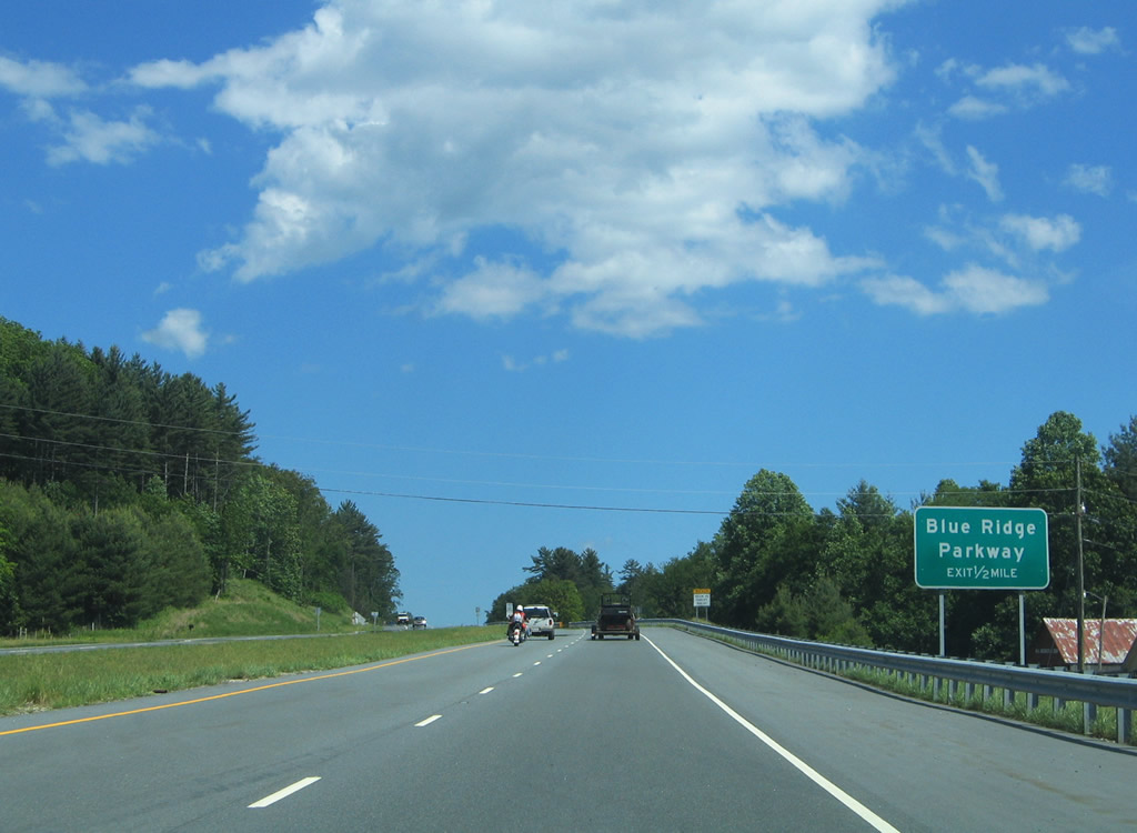
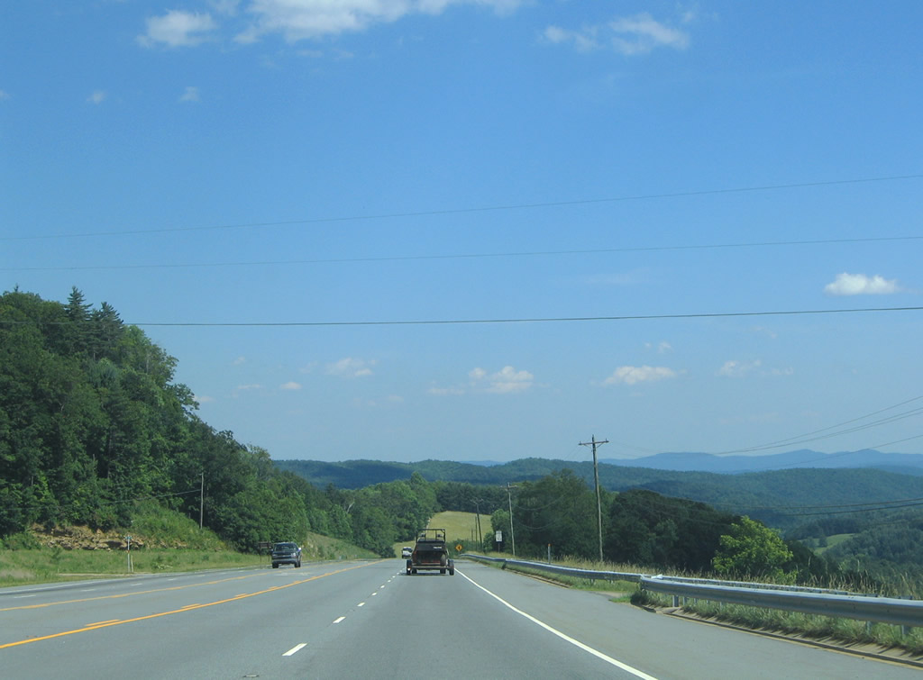
Heading east from U.S. 221 and the community of Deep Gap, U.S. 421 southbound advances to a grade separated intersection with the Blue Ridge Parkway.
06/17/05
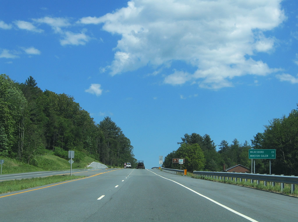
U.S. 421 carries four overall lanes between Boone and the freeway at Wilkesboro. 59 of the 77 miles between Deep Gap and Winston-Salem involves freeway driving.
06/17/05
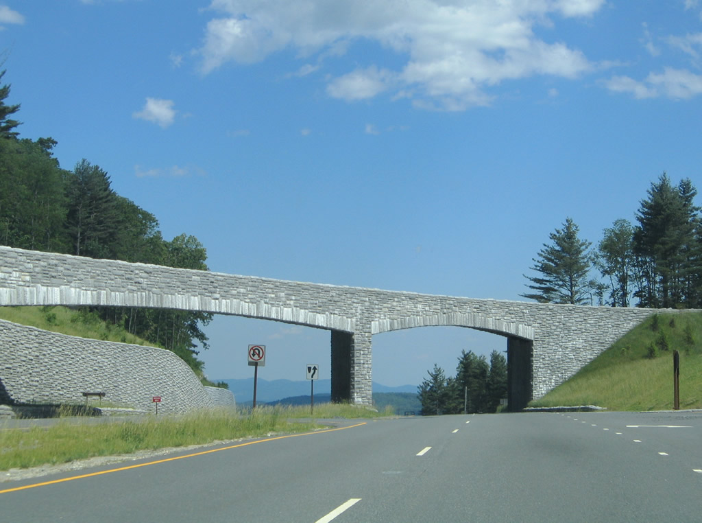
One quarter mile west from the Blue Ridge Parkway access road on U.S. 421 south. The Blue Ridge Parkway is a controlled access road maintained by the National Park Service. The scenic byway travels along the Appalachian Mountains through North Carolina and Virginia.
06/17/05
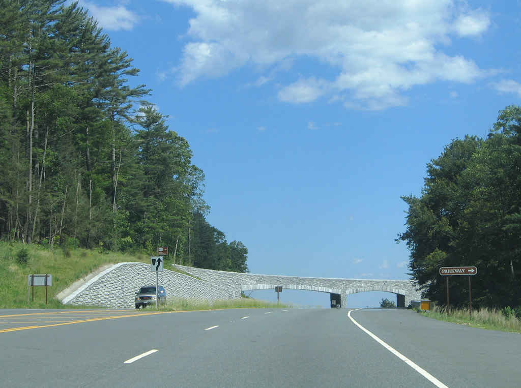
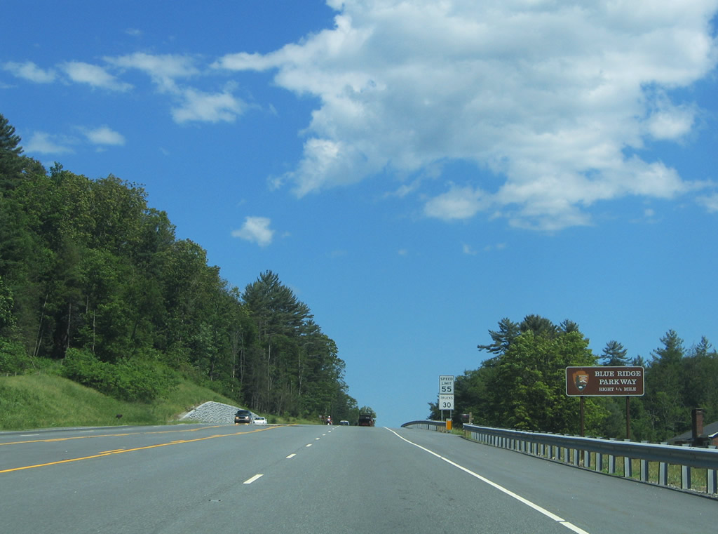
Decorative overpasses blend the Blue Ridge Parkway into its natural settings at the overpass above U.S. 421. The parkway heads south to Blowing Rock and north to Glendale Springs. All commercial trucks are prohibited from the route.
06/17/05

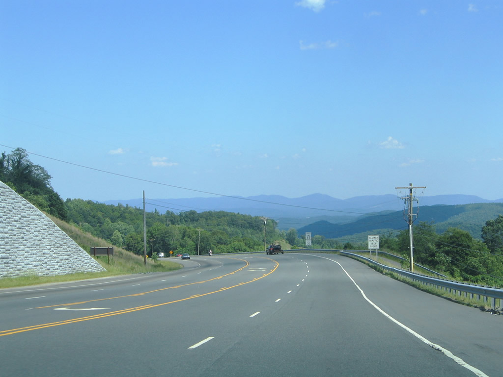
U.S. 421 descends steeply from the Blue Ridge Mountains toward the Wilkes County line along Ivy Point Ridge.
06/17/05
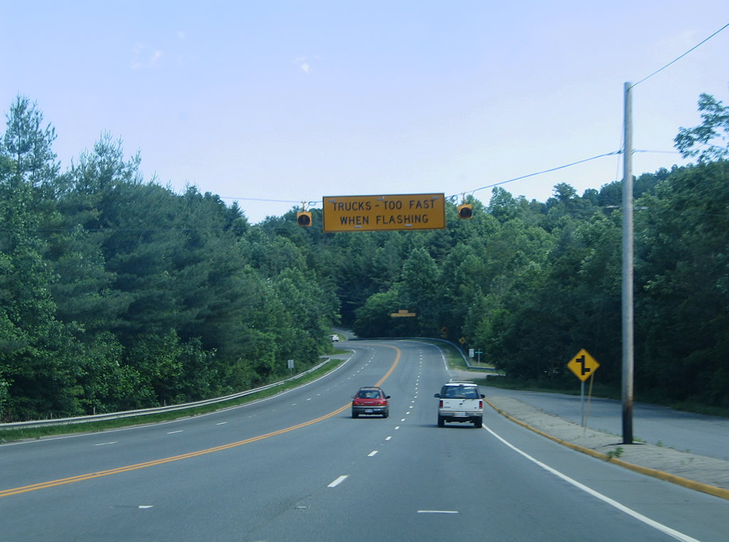
A truck turn out precedes Mt. Zion Road along U.S. 421 east between Wolf Knob and Chestnut Mountain.
06/17/05
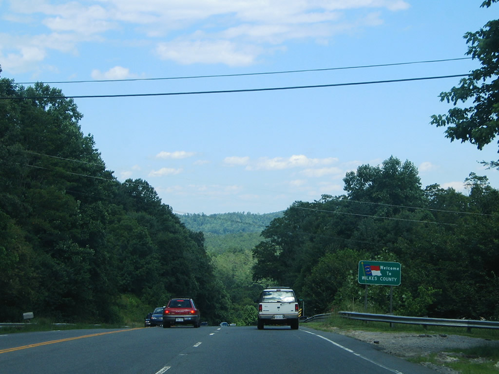
Eastbound at Stony Fork, the dividing line between Watauga and Wilkes Counties on U.S. 421.
06/17/05
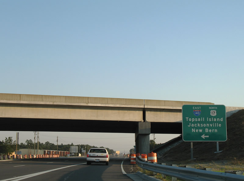
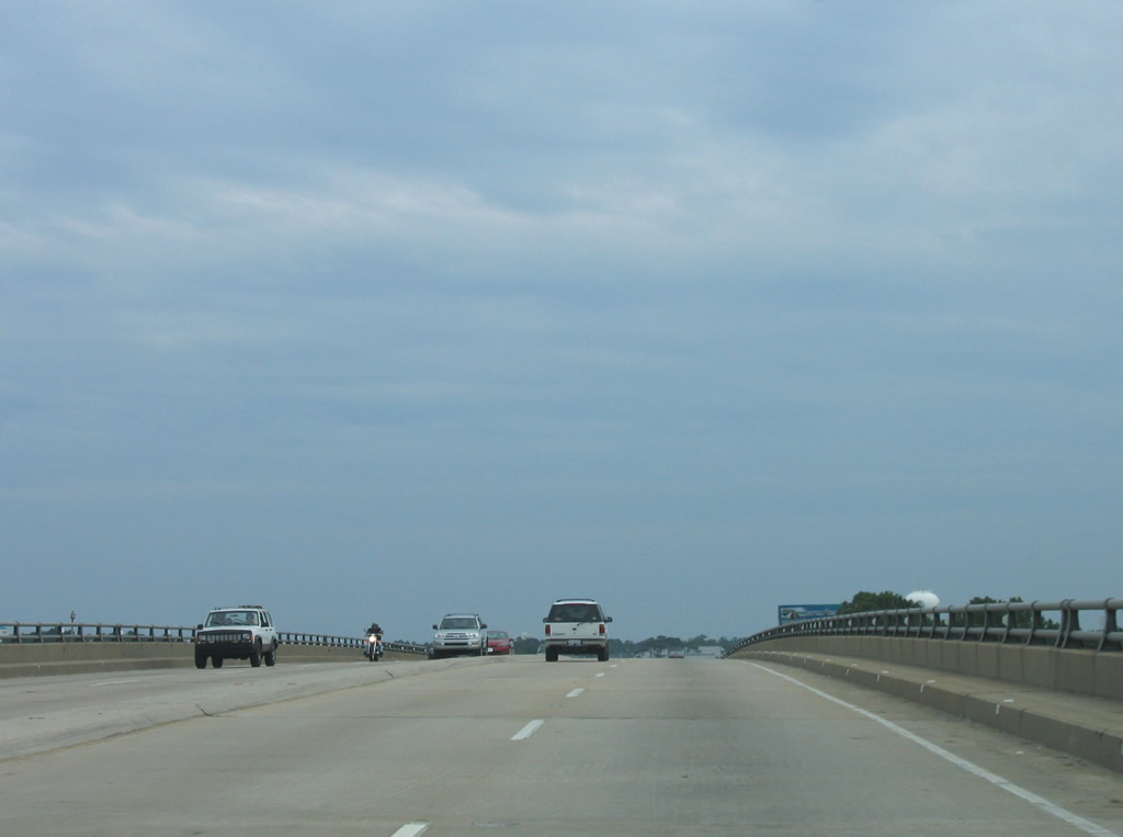
U.S. 421 south at Interstate 140. I-140 east spans the Northeast Cape Fear River across the Dan Cameron Bridge to Wrightsville.
11/11/06
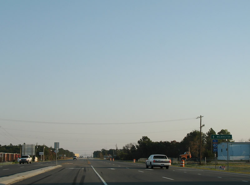
Interstate 140 opened east from U.S. 421 on June 30, 2006 and west on December 19, 2017.
11/11/06
 West
West  South
South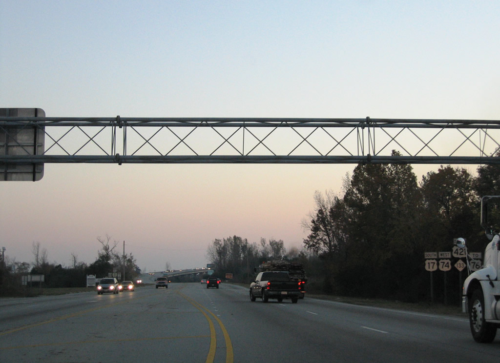
Heading south along U.S. 74-421 and NC 133 between Martin Luther King, Jr. Parkway and the Cape Fear River.
11/11/06
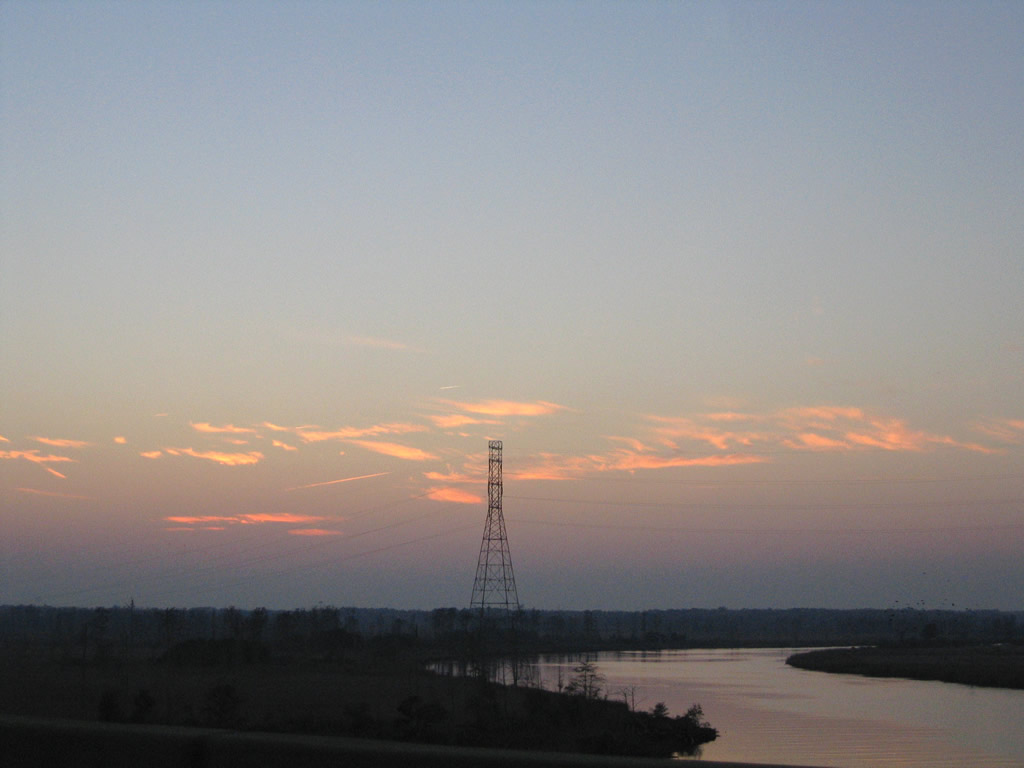
Waning sunlight over the Cape Fear River and the Tidal Flats to the northwest.
11/11/06
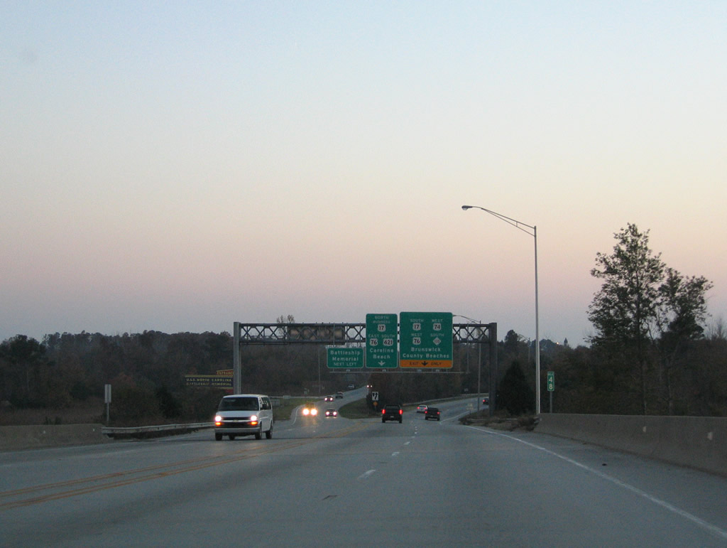
Lowering from the Cape Fear River bridge, U.S. 74 west / U.S. 421-NC 133 south approach the access road to the USS North Carolina and adjacent trumpet interchange with U.S. 17-76.
11/11/06
 North
North  East South
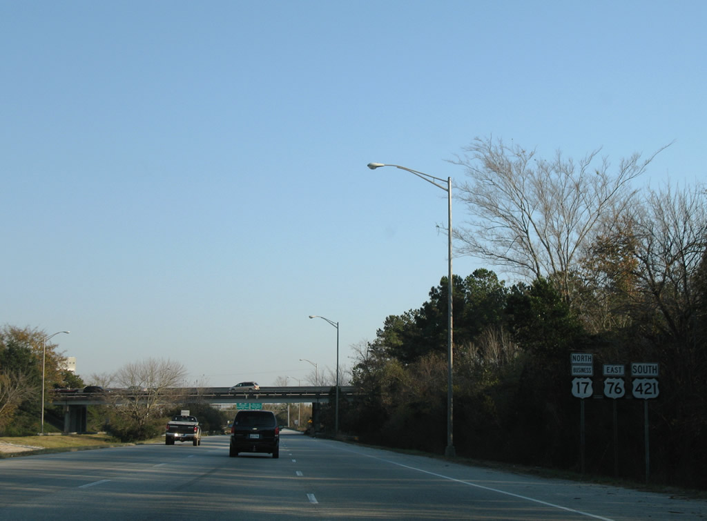
This shield assembly was removed by January 2017. A guide sign for U.S. 421 Truck south along Front Street was added in the same time frame.
11/11/06
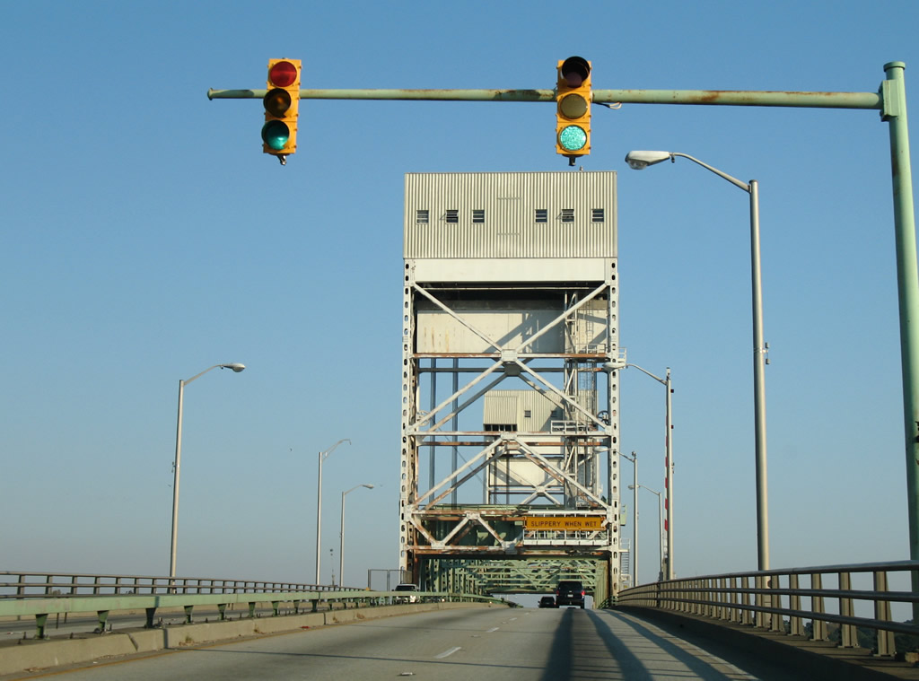
The Cape Fear Memorial Bridge opened to traffic on October 1, 1969. The central section lifts between the two towers, providing more vertical clearance for larger passing ships.
11/11/06
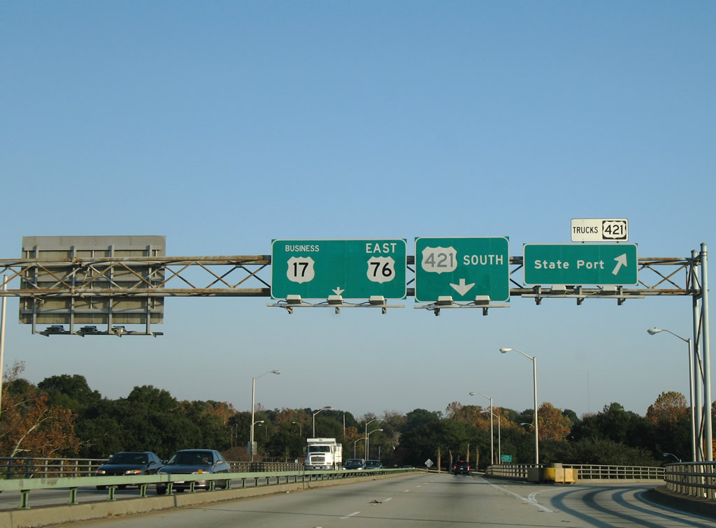
The U.S. 421 truck route lowers from the Cape Fear Memorial Bridge onto Front Street south toward the State Port. The port at Wilmington is one of two in North Carolina, with other located in Morehead City near the eastern end of U.S. 70. The truck route links with Burnett Boulevard south to Shipyard Boulevard (U.S. 117).
11/11/06
South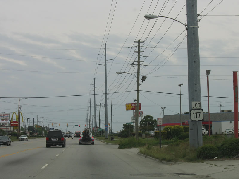
U.S. 421 shifts onto Carolina Beach Road from Burnett Boulevard south through the Summer Hills neighborhood of Wilmington. The five lane boulevard progresses southward to intersect U.S. 117 (Shipyard Boulevard) east of the State Port.
06/01/05
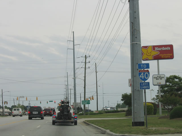
U.S. 117 follows Shipyard Boulevard 2.87 miles east to combine with NC 132 (College Road) northward to Interstate 40.
06/01/05
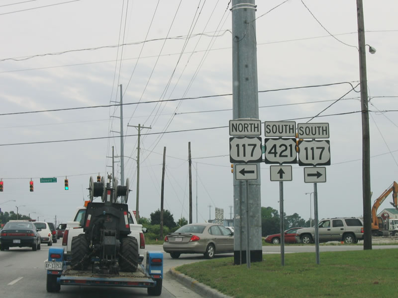
U.S. 117 was realigned onto Shipyard Boulevard in March 2003 to provide a consistent designation between I-40 and the state port of Wilmington. The route concludes 0.69 miles west of U.S. 421 at River Road. River Road parallels the Cape Fear River south to Snows Cut Bridge.
06/01/05
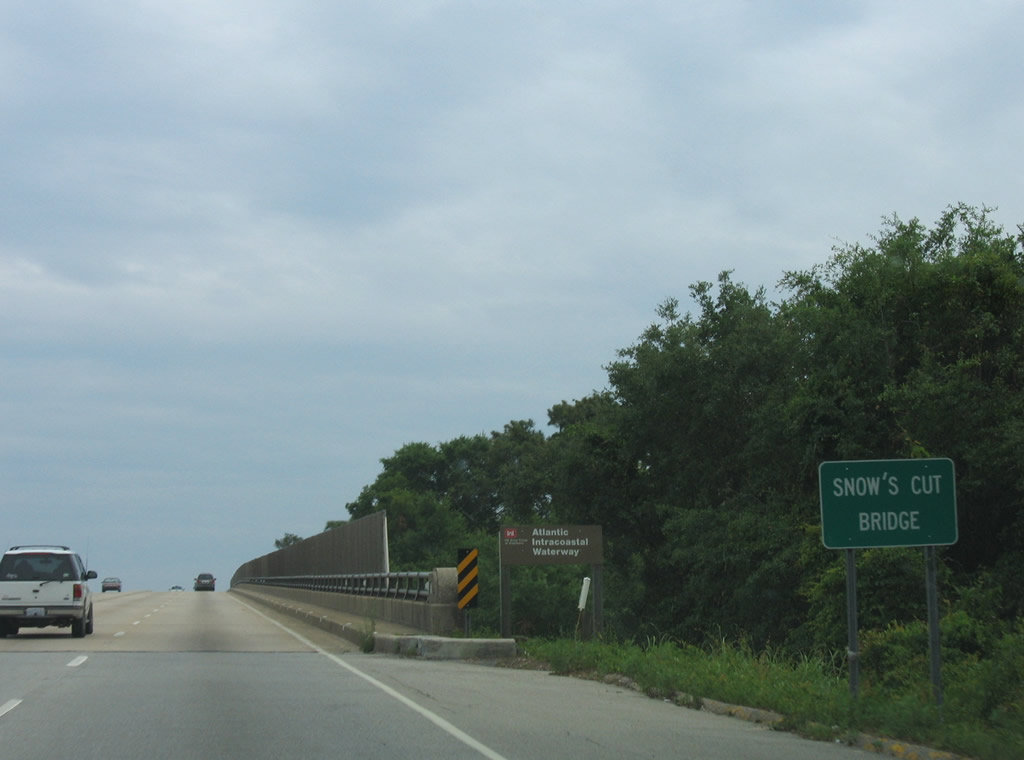
U.S. 421 crosses Snows Cut (Intracoastal Waterway) onto Pleasure Island over the Snow's Cut Bridge. The 2,061 foot long fixed-span dates from 1962 (Baughn, n.d.).
05/31/05

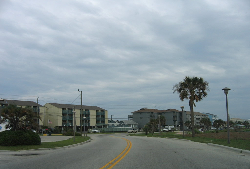
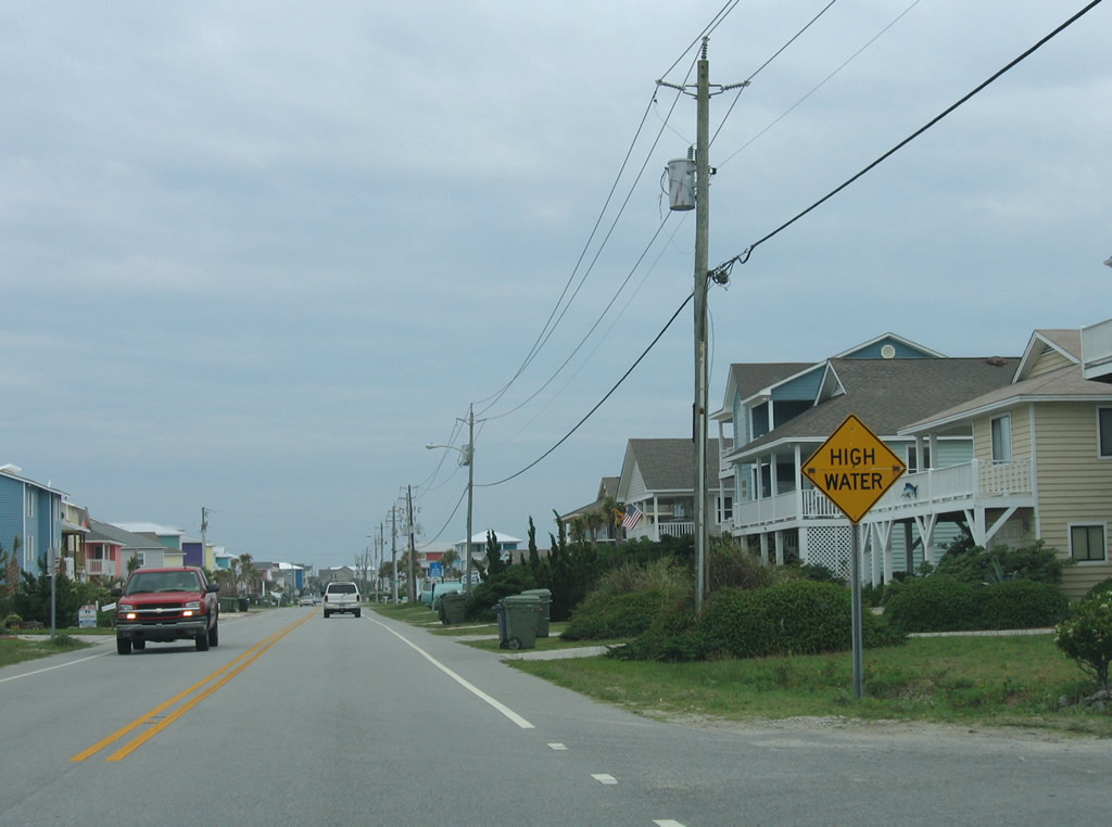
U.S. 421 lowers from the Snows Cut Bridge through a commercial strip along Lake Park Boulevard. The remainder of the route is unmarked with the exception of southern terminus. The second traffic light on Pleasure Island operates at Dow Road.
05/31/05
U.S. 421 shifts east toward the beaches through an S-curve around Carolina Lake.
05/31/05
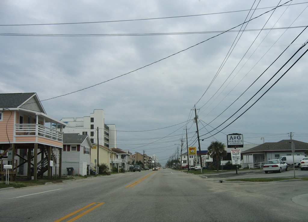
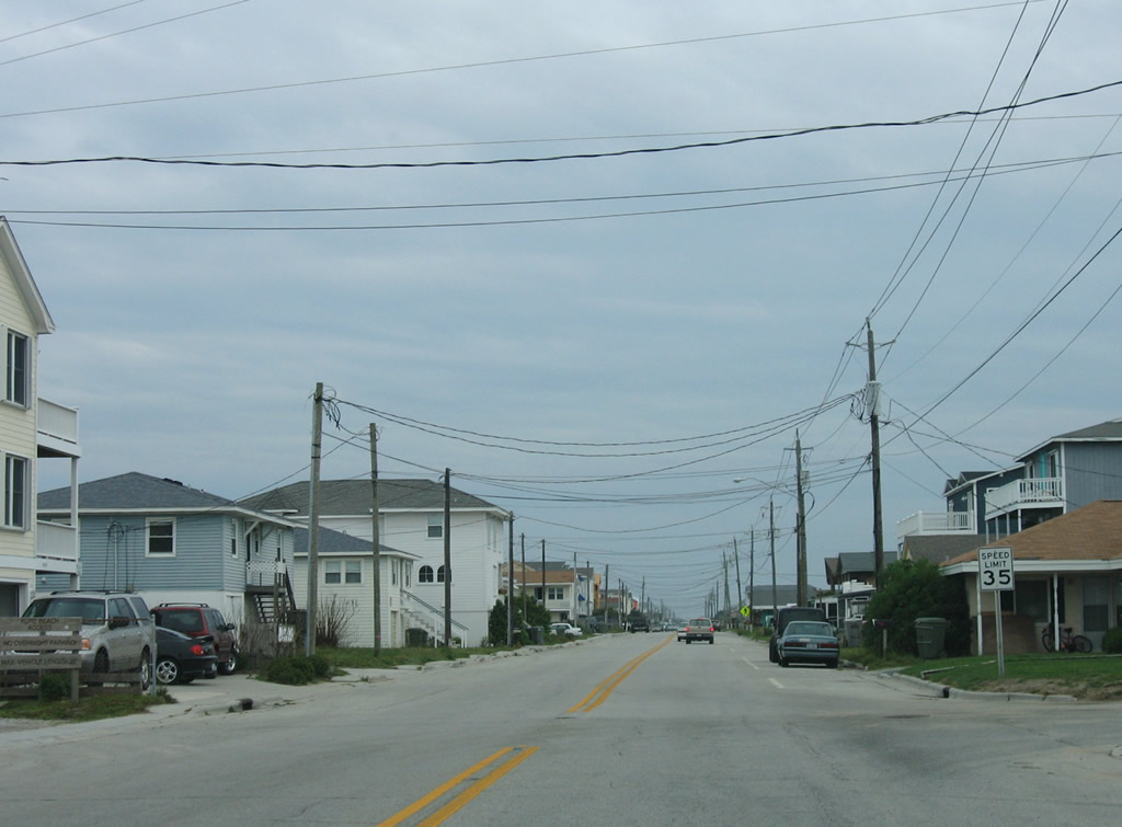
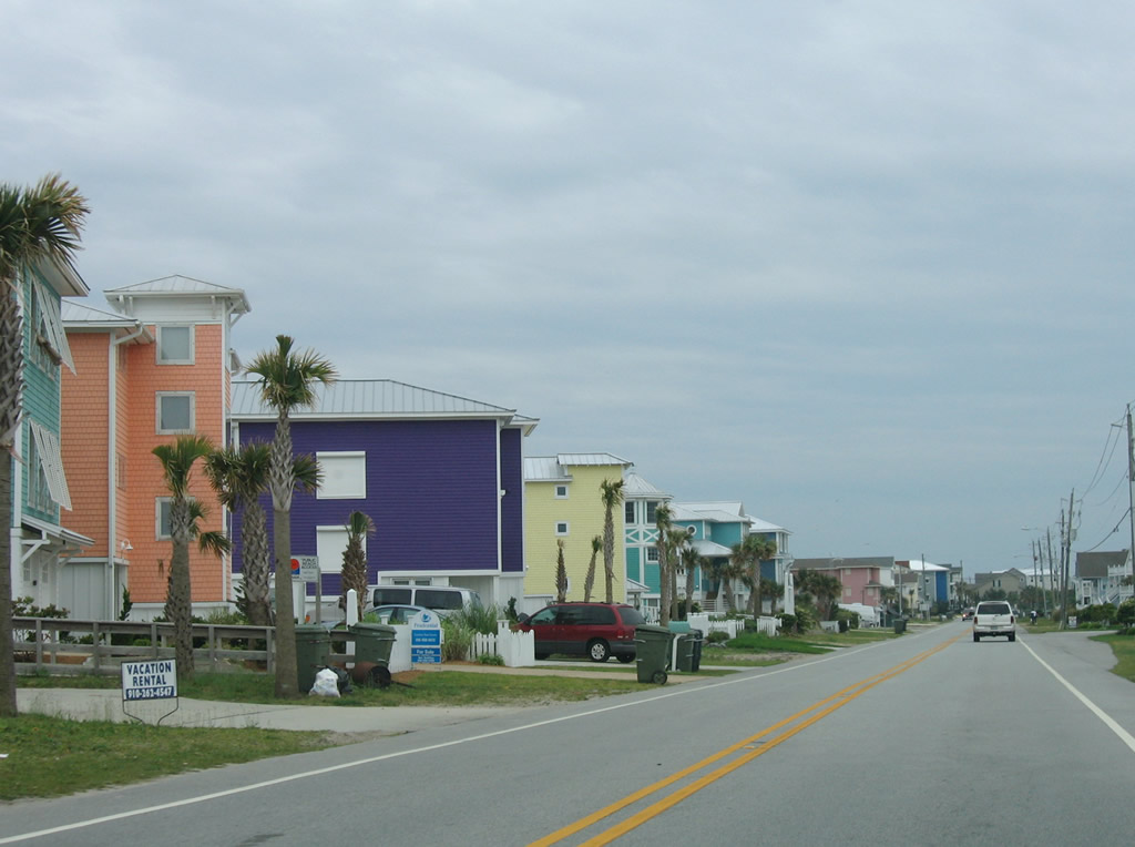
Southbound U.S. 421 advances south through the town of Carolina Beach, which is a popular vacation and weekend destination for beachgoers.
06/01/05
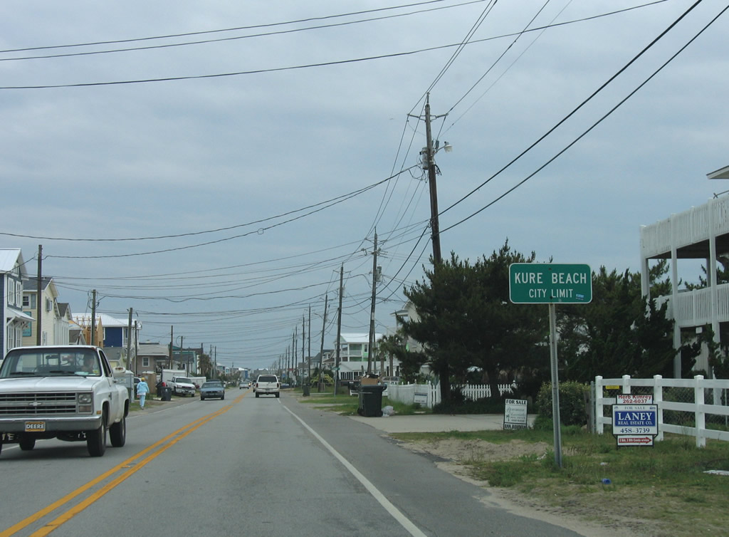
Through south Carolina Beach, U.S. 421 (Lake Park Boulevard) passes through the Wilmington Beach community and next enters the town of Kure Beach.
05/31/05
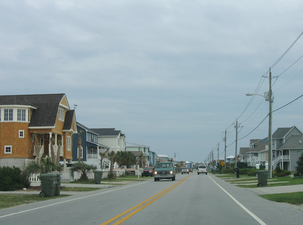
An array of colorful beach homes line the oceanfront along U.S. 421 (Fort Fisher Boulevard) through Kure Beach.
06/01/05
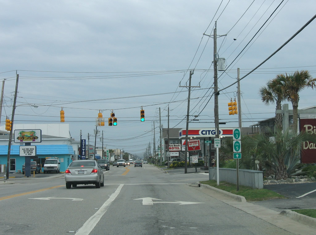
Forst Fisher Boulevard south at K Avenue in the Kure Beach business district. K Avenue west connects with Dow Road (SR 1573) leading north back to Carolina Beach. The Kure Beach Pier extends over the Atlantic Ocean one block to the east.
06/01/05
U.S. 421 continues south another 1.75 miles from K Avenue through the town of Kure Beach.
06/01/05
Leaving Kure Beach, U.S. 421 navigates along a narrow strip of land between the Cape Fear River and the Atlantic Ocean, entering the Fort Fisher State Recreation Area. The state park is home to an aquarium, the Fort Fisher Civil War site, and a preserve.
05/31/05
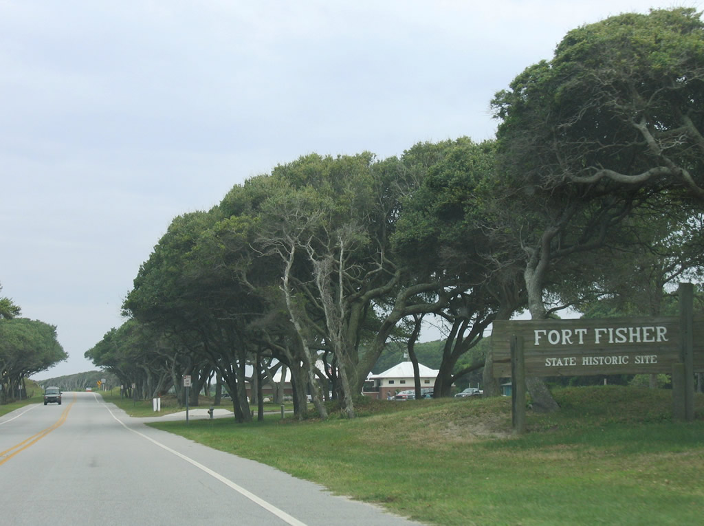
Fort Fisher was a Civil War-era military installation. The Confederate States of America used this location to guard the entrance to Wilmington's port via the Cape Fear River starting in 1861. Union armies took over the fort in 1865, only three months before the end of the Civil War.
05/31/05

The Atlantic Ocean comes into view after U.S. 421 passes the Fort Fisher State Historic Site. Parking for the beach is available nearby.
05/31/05
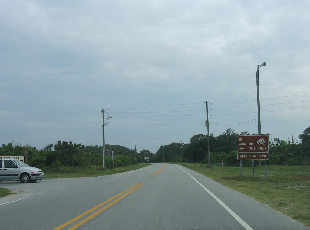
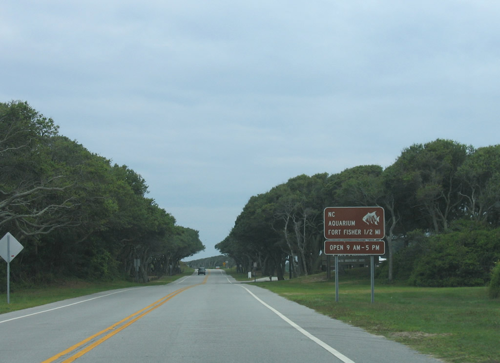
Southbound U.S. 421 reaches the left turn for Loggerhead Road to the North Carolina Aquarium at Fort Fisher.
05/31/05
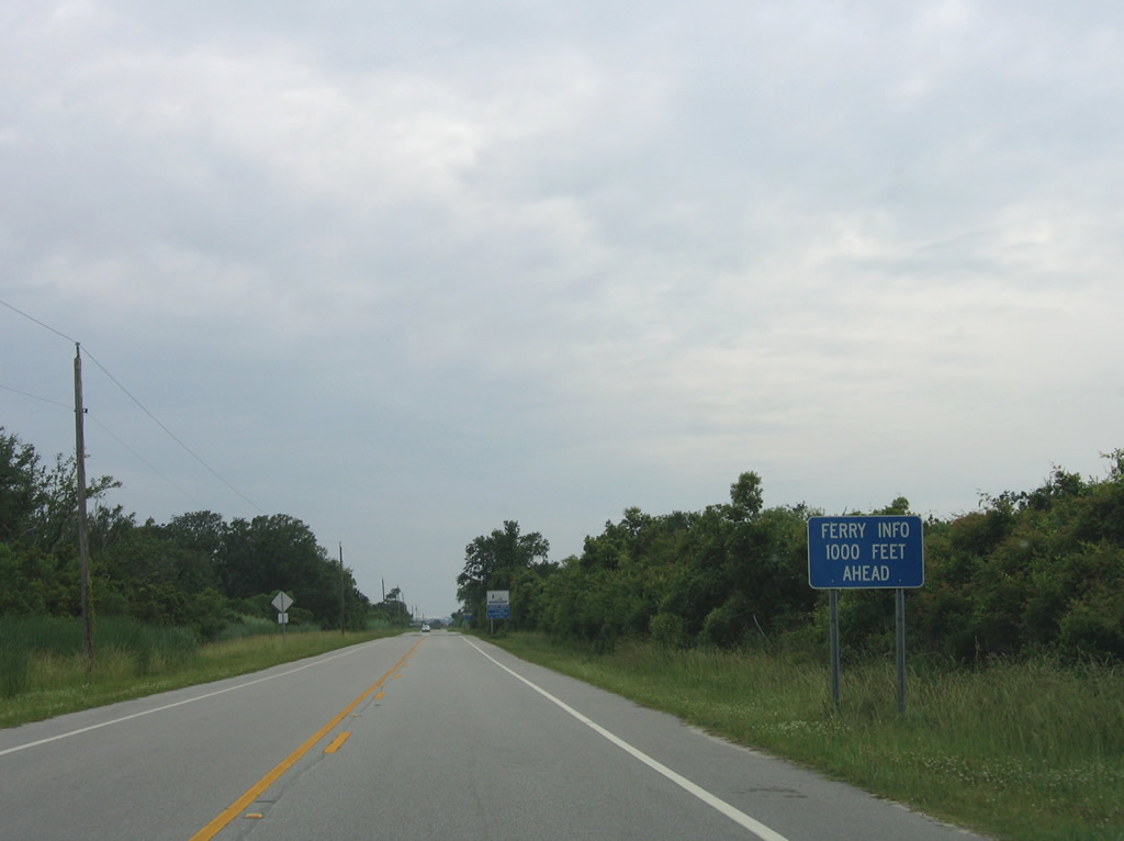
1.25 miles west of Loggerhead Road, U.S. 421 reaches the Fort Fisher-Southport Ferry. The ferry offers service between Southport in Brunswick County and Fort Fisher several times a day, especially during the summer tourist season.
05/31/05

The bicycle routes that accompany U.S. 421 south through Pleasure Island overlay the ferry route southwest to Southport.
05/31/05
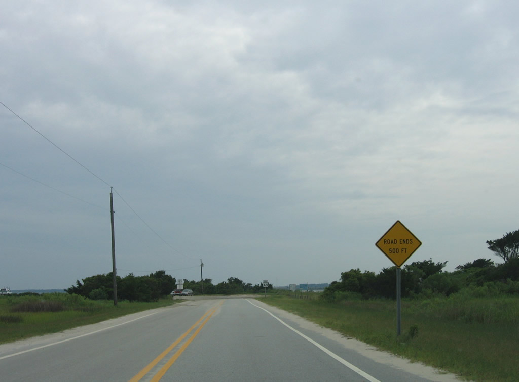
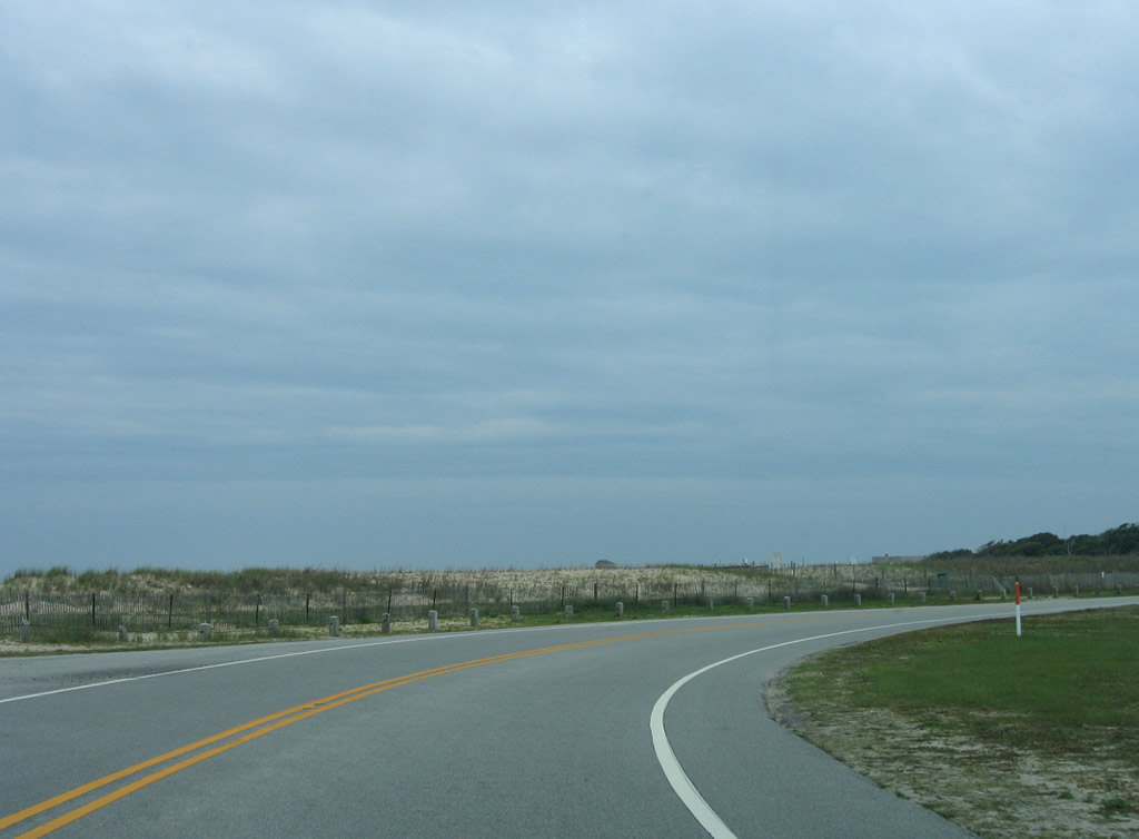
Less than a quarter mile remains along U.S. 421 beyond the Fort Fisher-Southport Ferry.
05/31/05
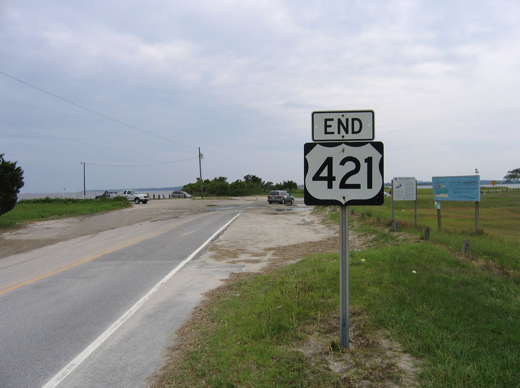
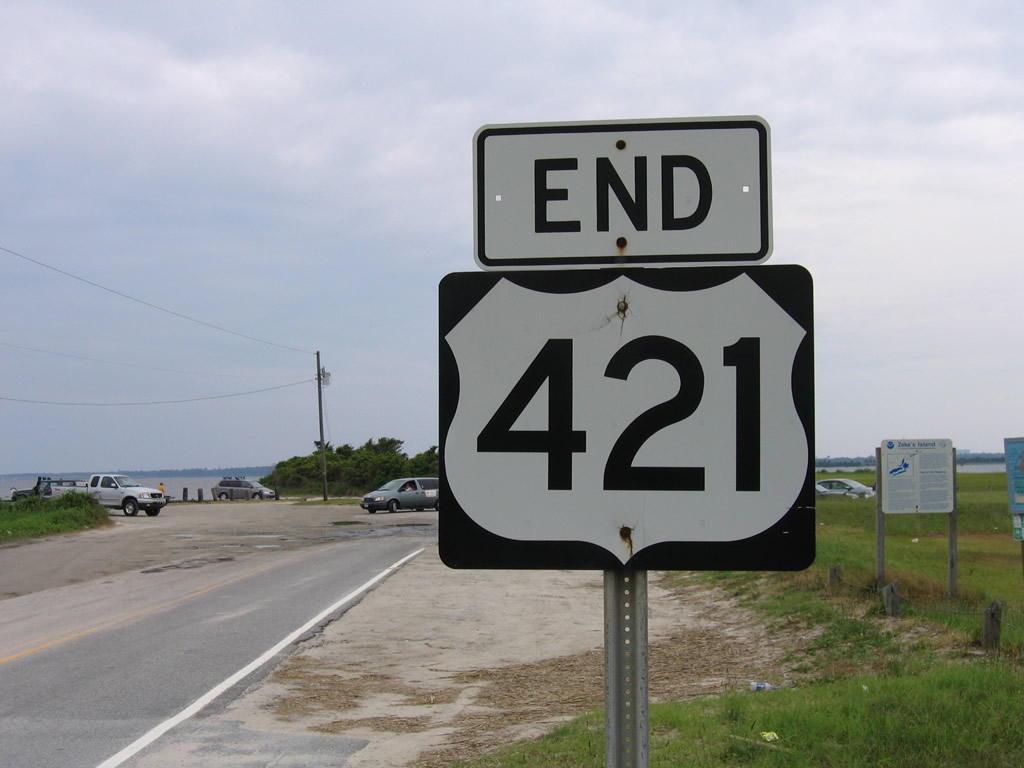
An end shield marks the southern terminus of U.S. 421 at Federal Point by the Rocks at Fort Fisher.
05/31/05
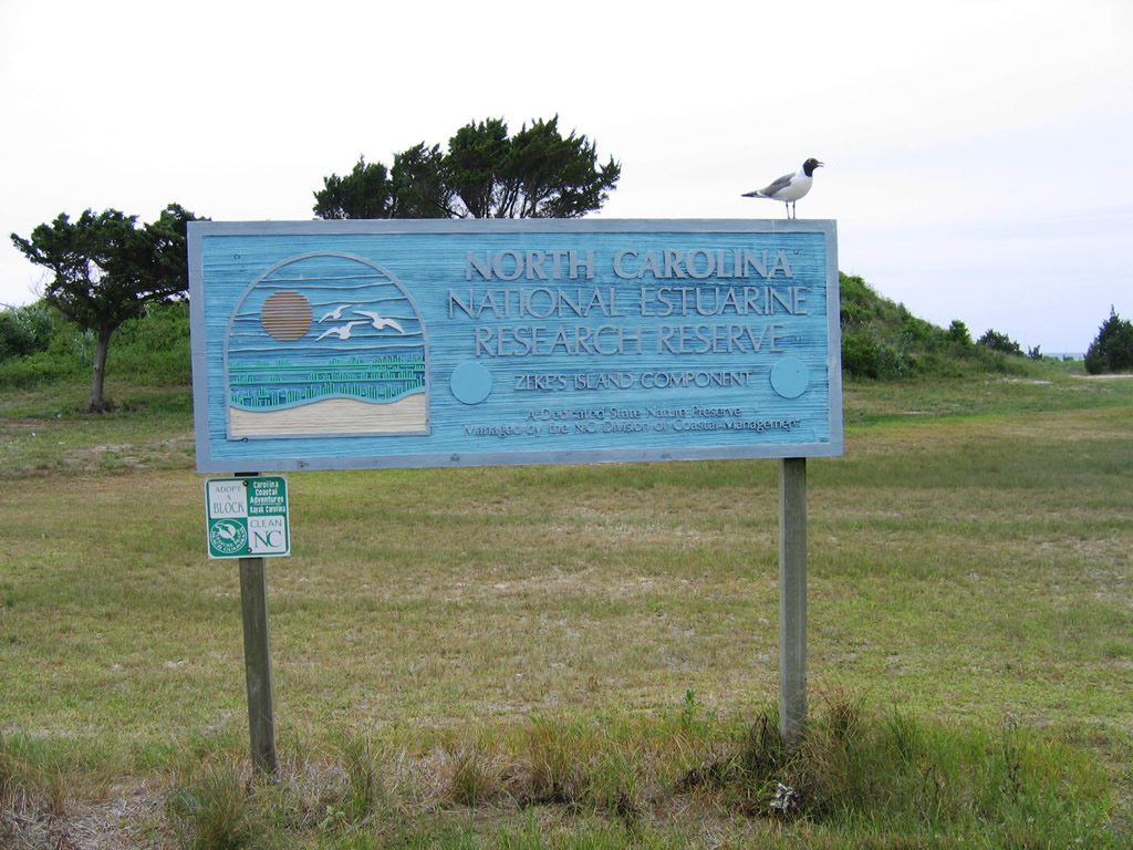
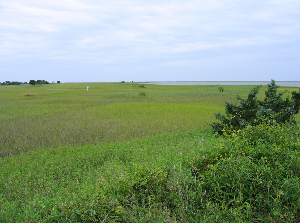
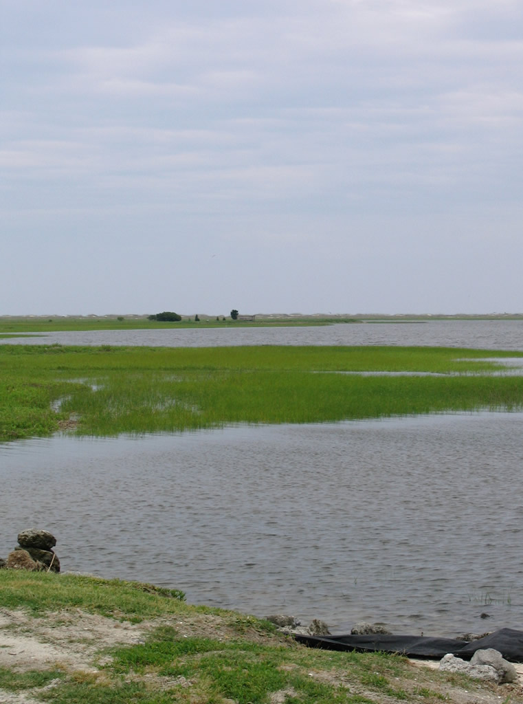
Coastal areas near the mouth of the Cape Fear River fall within the North Carolina National Estuarine Reserve Sanctuary (Zeke's Island Unit).
05/31/05
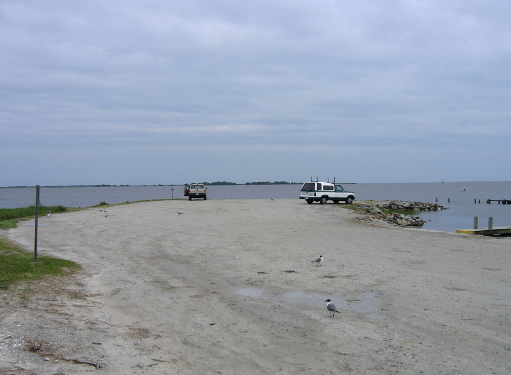
A parking area and boat ramp to The Basin lie at Federal Point.
05/31/05
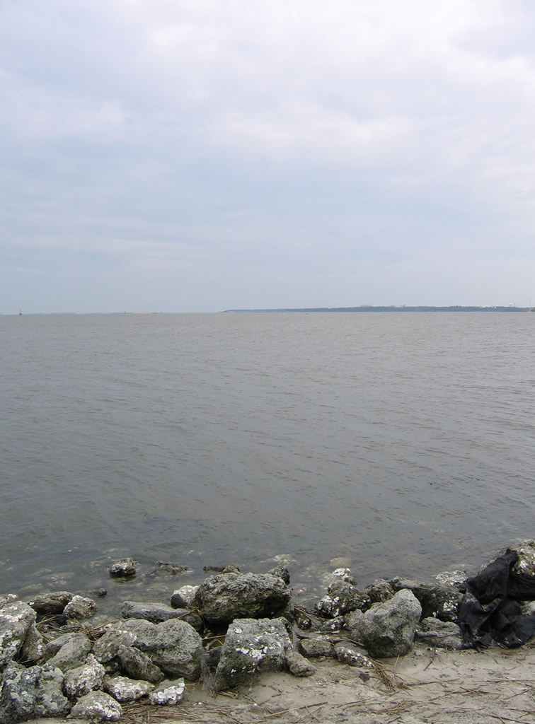
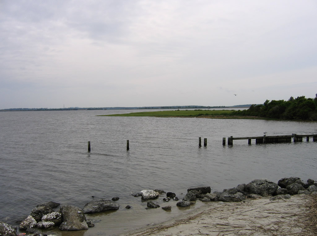
Viewing marshland and waters from The Basin at Federal Point. The Cape Fear River lies just beyond the Rocks at Fort Fisher and Zekes Island to the west.
05/31/05
References:
Baughn, J. (n.d.). US421 over SR1532&INTRACOAST, New Hanover County, North Carolina. BridgeReports.com. https://bridgereports.com/1332500
Photo Credits:
- Alex Nitzman: 06/17/05
- Alex Nitzman, Justin Cozart: 11/11/06
- Andy Field: 05/31/05, 06/01/05
Connect with:
Page Updated Tuesday September 11, 2018.