
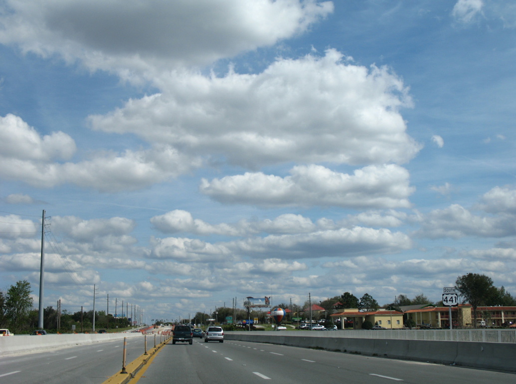
U.S. 441 South - Leesburg to Mount Dora

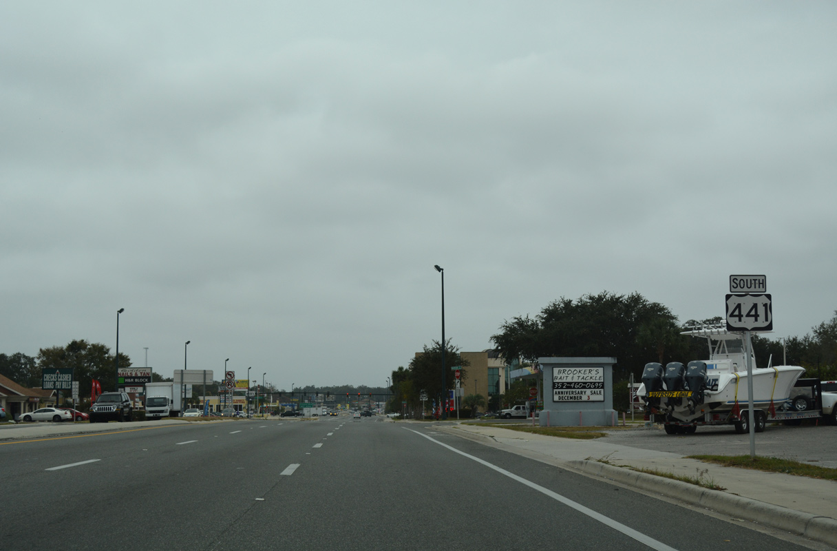
 South
South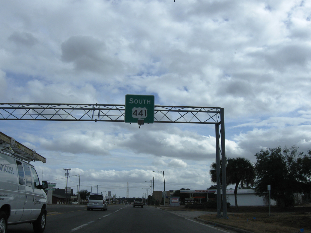
Leading away from U.S. 27 along U.S. 441 (North Boulevard) southbound. This sign bridge was removed during 2011 construction realigning North Boulevard.
01/17/10
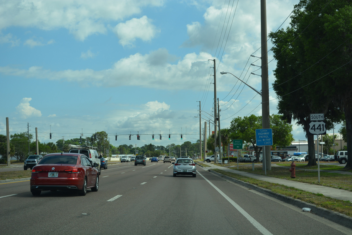
U.S. 441 confirming marker posted south of U.S. 27 (N 14th Street) by Marion Street.
11/14/16
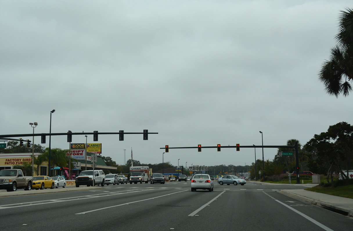
Citizens Boulevard comprises a five lane boulevard linking U.S. 441 at Miller Street with nearby U.S. 27 (N 14th Street) at Gateway Plaza shopping center.
11/14/16
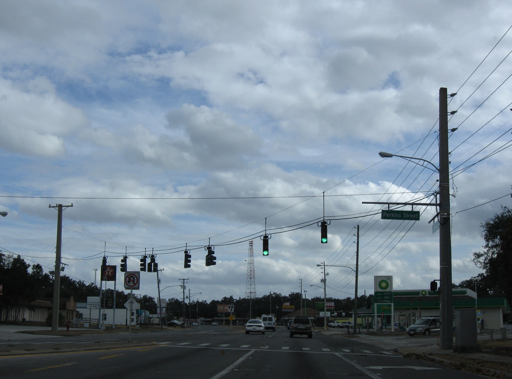
Perkins Street is a minor collector south 0.63 miles to Main Street (CR 44) west of Downtown Leesburg.
01/17/10
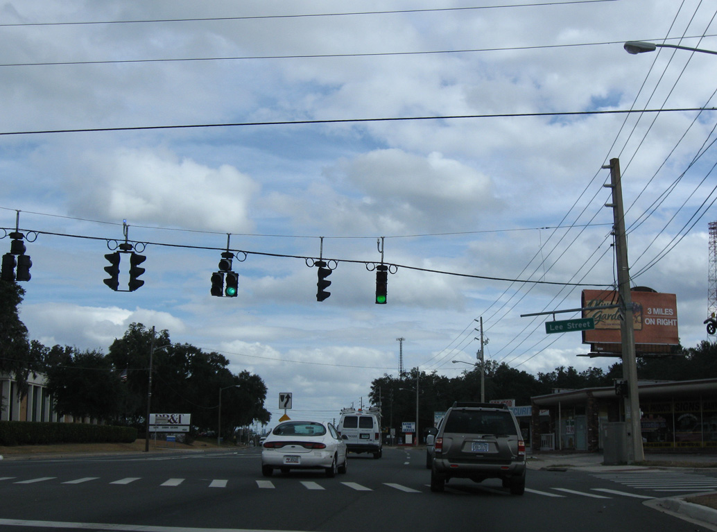
North Boulevard at Lee Street.
01/17/10

3rd Street heads south to Main Street in the heart of Downtown Leesburg.
01/17/10

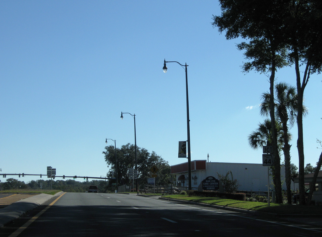
Canal Street leads 0.61 miles south to SR 44 and north to Bourlay Historic Nature Park along Lake Griffin.
01/17/10
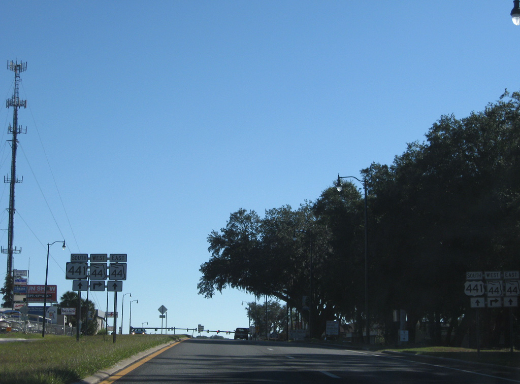
SR 44 east converges with U.S. 441 south beyond the Leesburg street grid at Newell Hill Road.
11/16/08
SR 44 bypasses Downtown Leesburg to the south along a five lane boulevard.
11/16/08
West from Leesburg, SR 44 travels to The Villages, Wildwood and Crystal River on the Nature Coast.
11/16/08
South  East
East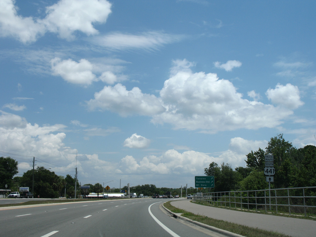
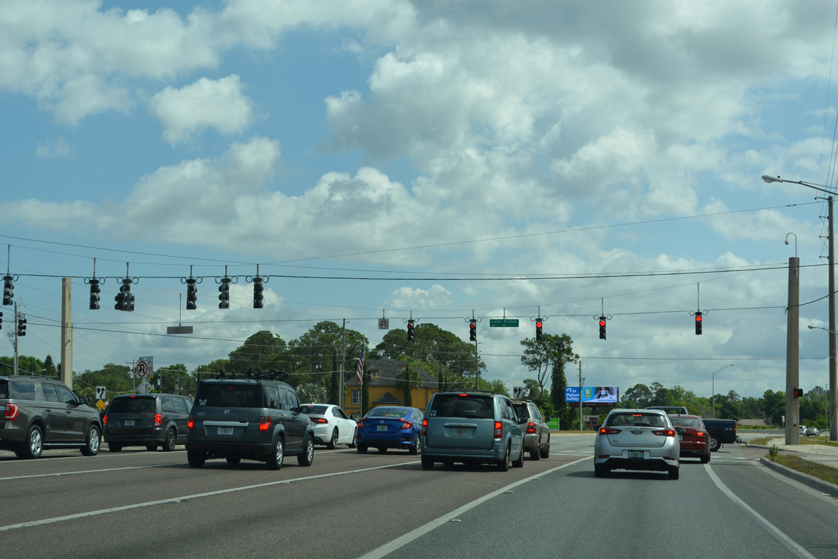
Straddling the south shore of Lake Eustis, U.S. 441 advances into Taveras ahead of SR 500A.
04/28/08
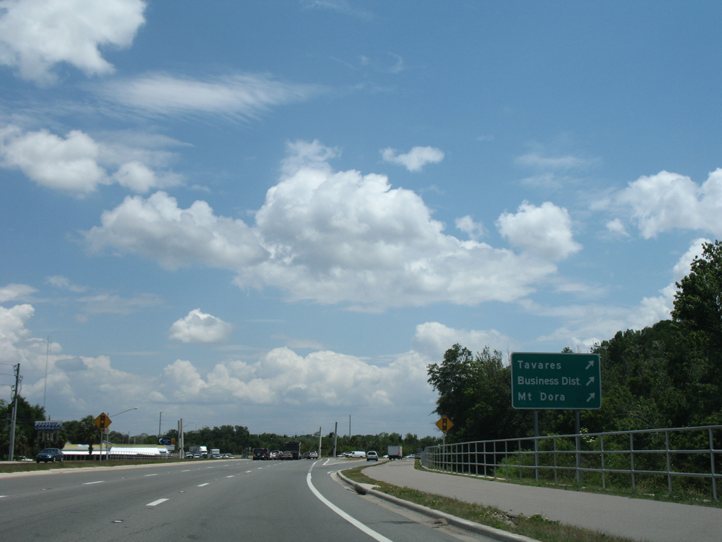
SR 500A constitutes a 0.27 mile long cut off from U.S. 441 south to SR 19 south at Gateway Drive (CR Old 441) to Downtown Taveras.
04/28/08
South  North East
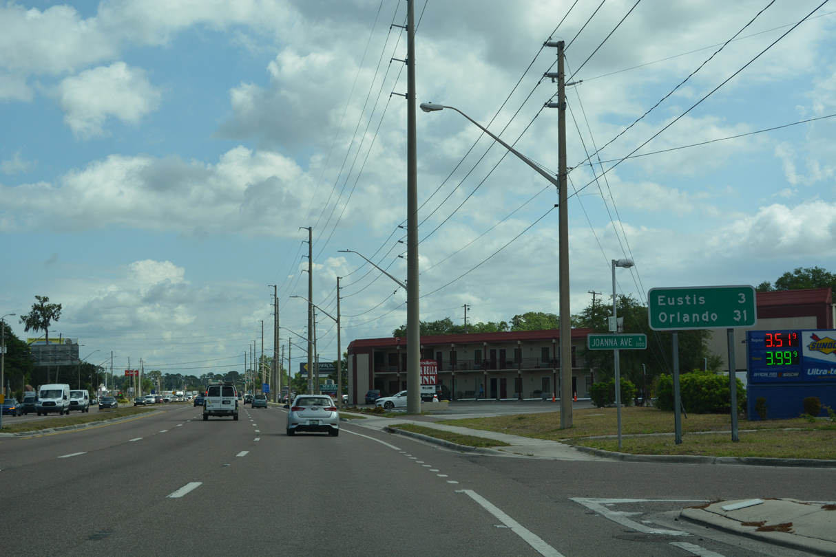
The overlaps with both SR 19 south and SR 44 east are unmarked along U.S. 441 southbound at both Taveras and Eustis.
04/14/23
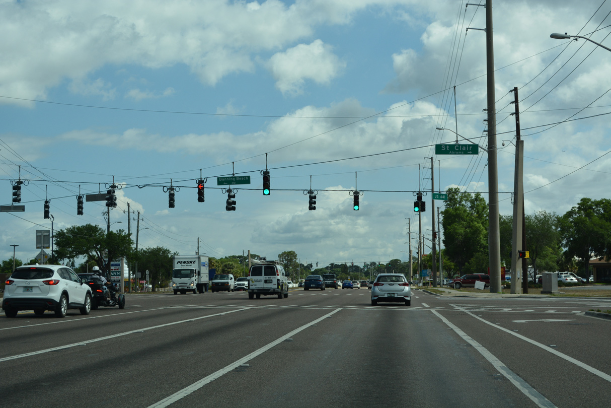
St. Clair Abrams Avenue leads north from E Main Street (CR 452) and Downtown Taveras to U.S. 441 across from Banning Beach Road.
04/14/23
St. Clair Abrams Avenue was formerly part of CR 452. A reassurance marker for U.S. 441 follows along Burleigh Boulevard eastbound.
04/14/23
Lake Eustis Drive branches northeast from U.S. 441 (Burleigh Boulevard) 1.48 miles to the Eustis city line, where it becomes Lakeshore Drive 1.75 miles to SR 19 in Downtown.
04/14/23

Curving east, U.S. 441 crosses Lake Juniata.
04/14/23
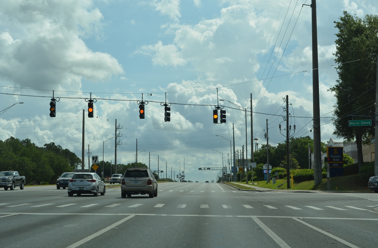
Mayo Drive north and Huffstetler Drive south come together at the succeeding traffic light on U.S. 441 (Burleigh Boulevard) southbound by AdventHealth Waterman Hospital.
04/14/23
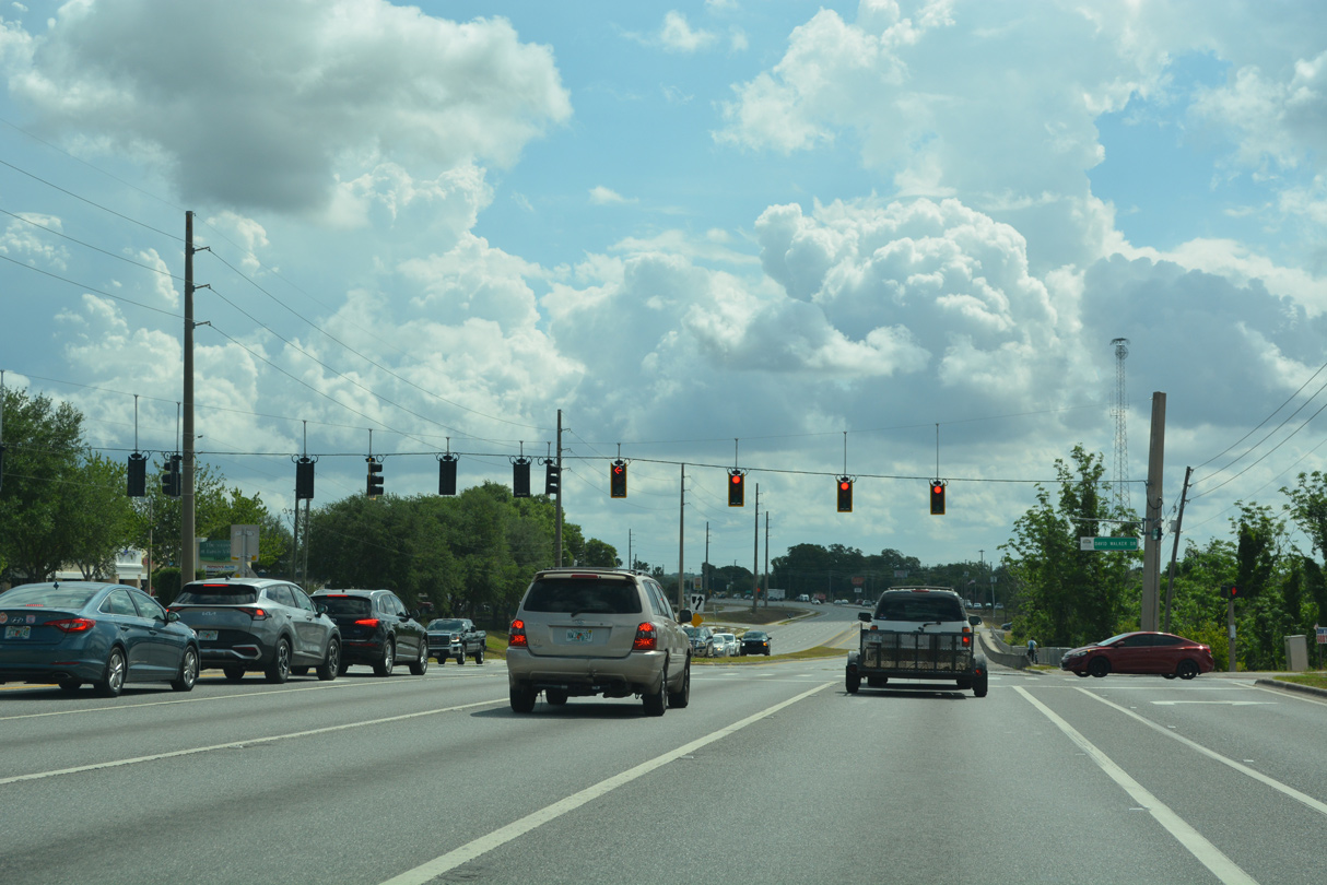
U.S. 441 runs along the Eustis and Taveras city line east to next intersect David Walker Drive.
04/14/23
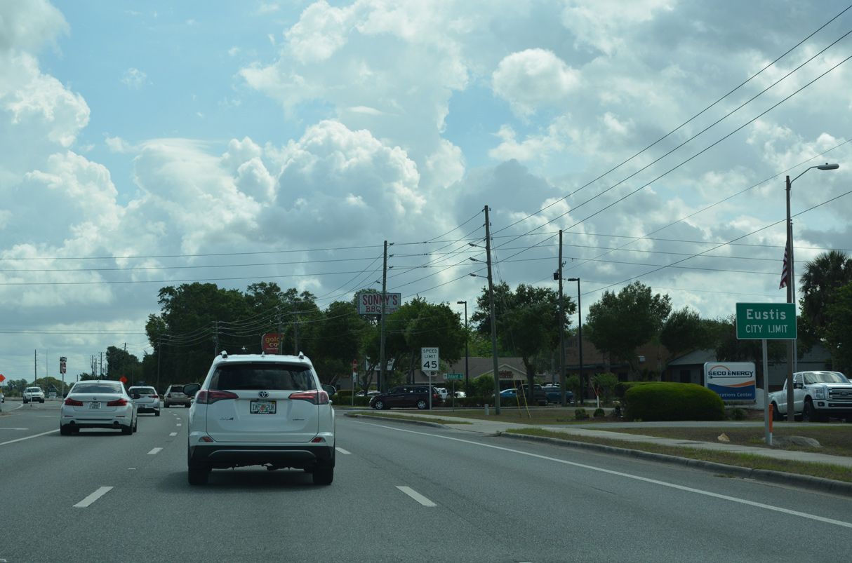
The Eustis city limit sign was previously located along U.S. 441 at Mt. Homer Road by the at-grade crossing with the Florida Central Railroad line. U.S. 441 wholly enters the city at Dillard Road.
04/14/23
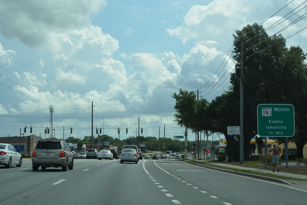
SR 19 parts ways with U.S. 441 along Bay Street north to Downtown Eustis beyond the signalized intersection with Kurt Street.
04/14/23
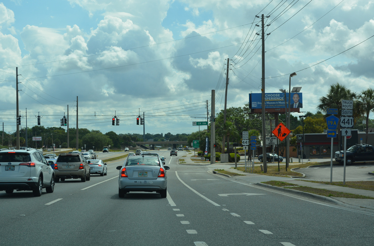
CR 19A angles northeast from Dora Avenue in Taveras to U.S. 441 in Eustis at the ensuing traffic light east of Kurt Street.
04/14/23
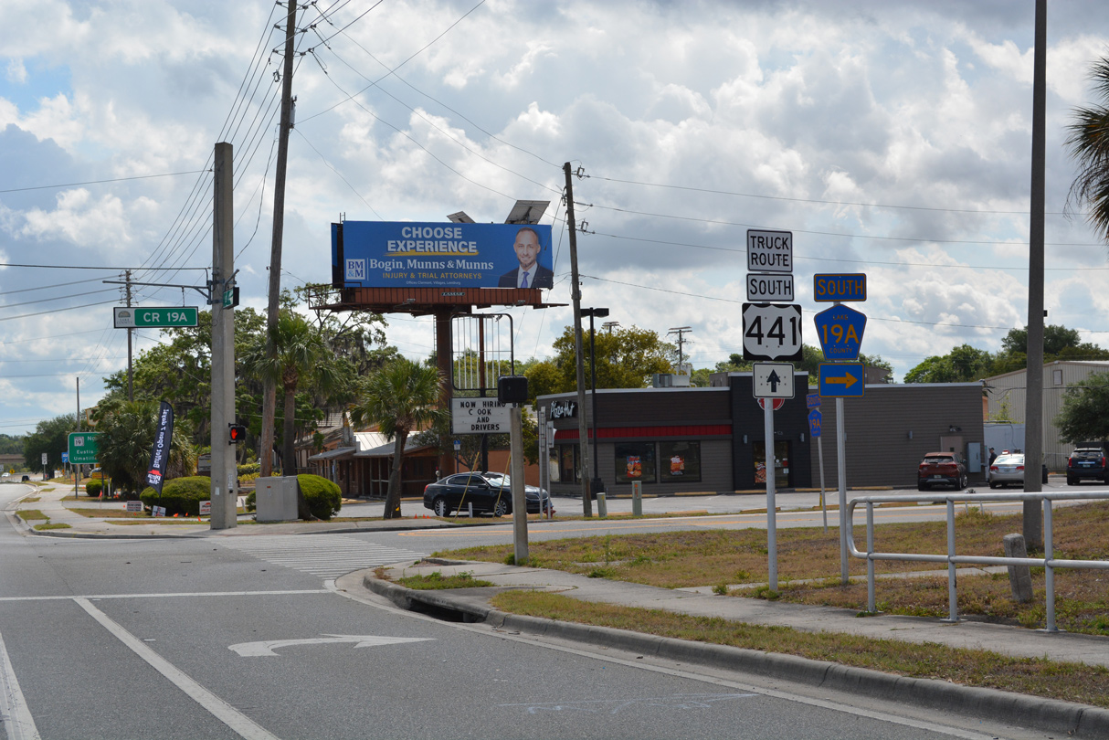
CR 19A leads 2.48 miles southwest to Lake Dora Drive in Taveras.
04/14/23
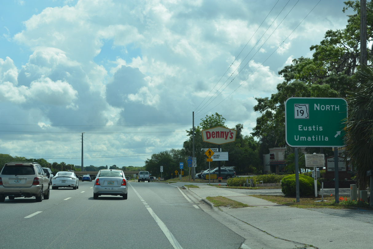
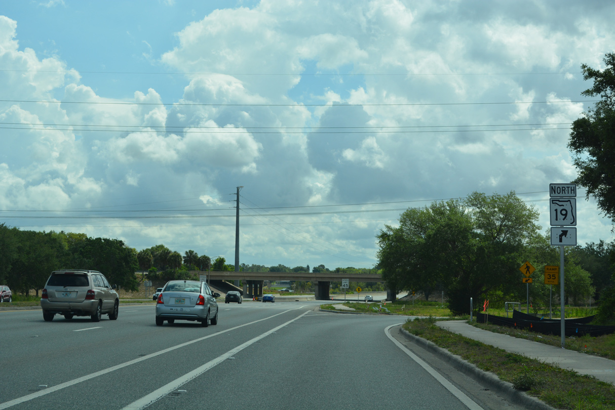
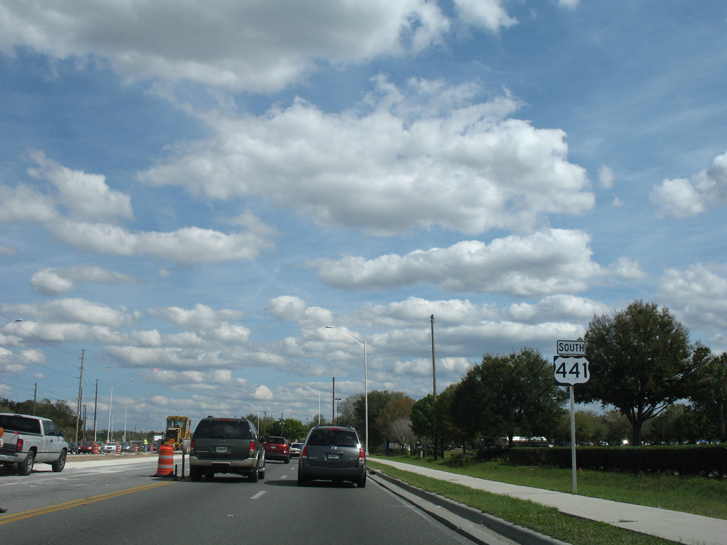
SR 19 separates from U.S. 441 southbound at a six-ramp parclo interchange with Bay Street in Eustis.
04/14/23
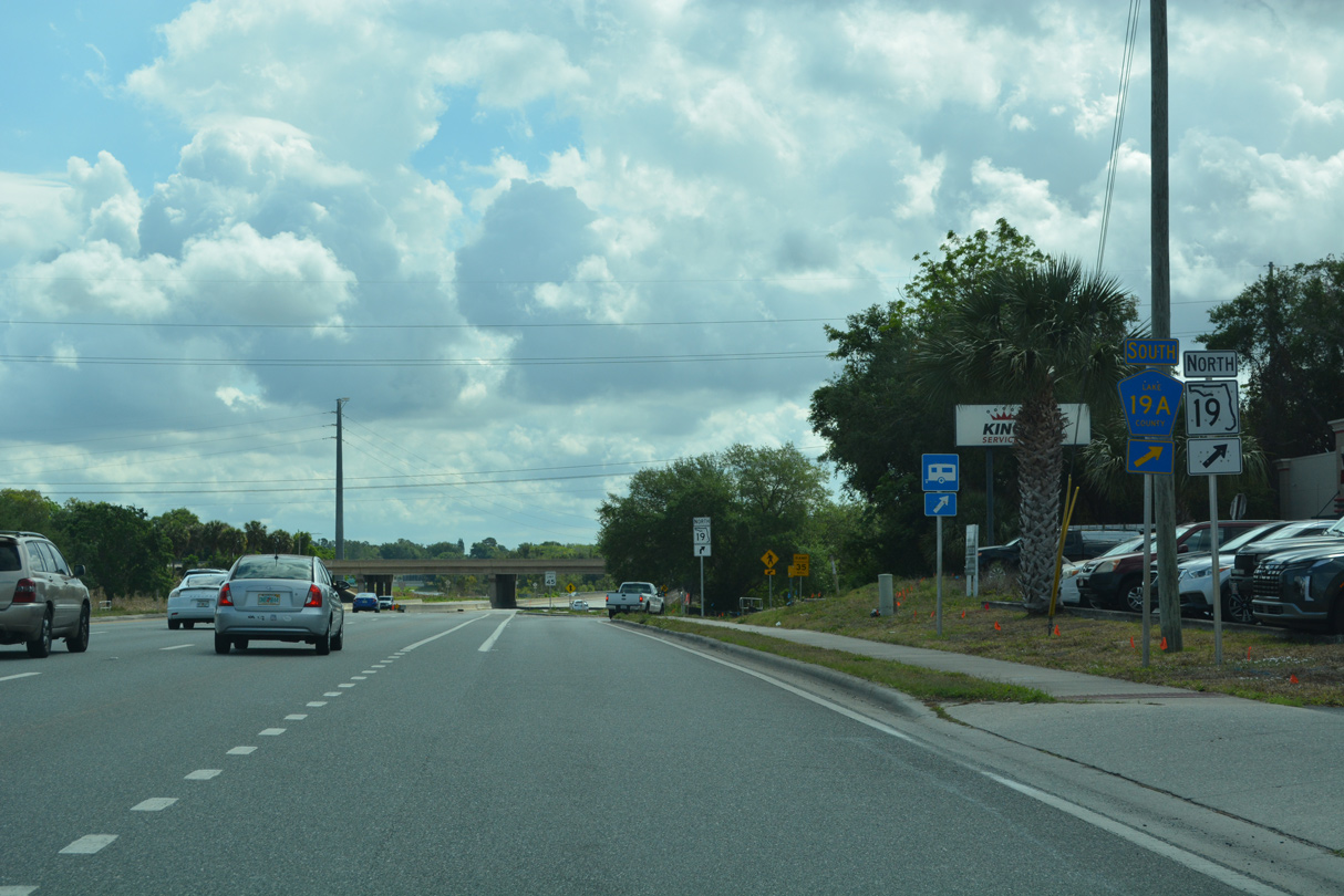
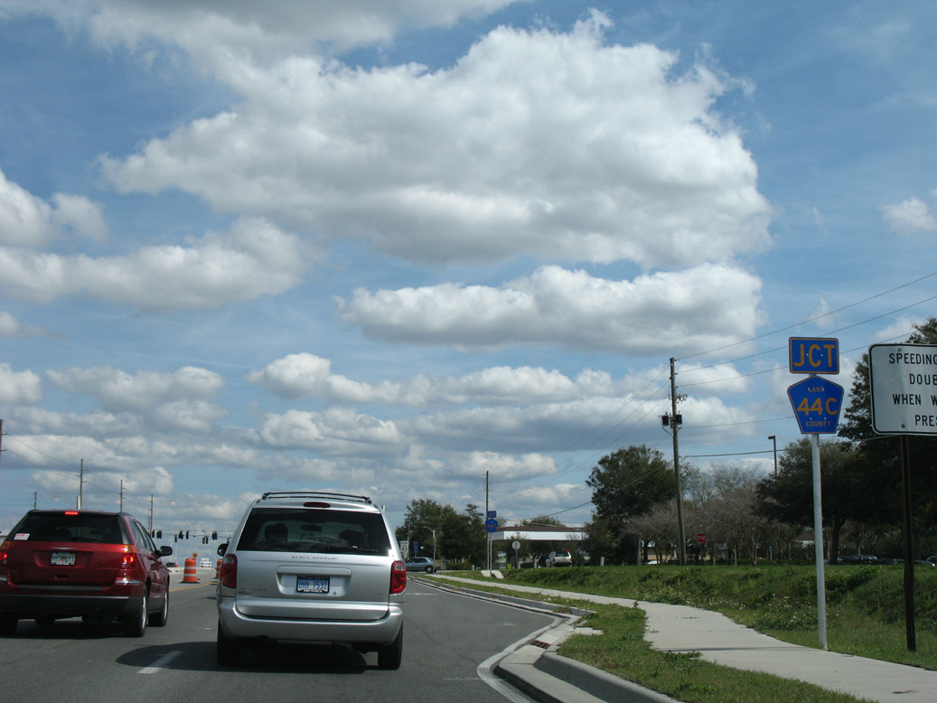
A second branch of CR 19A ties into U.S. 441 at the exchange with SR 19 (Bay Street) north. CR 19A curves 1.30 miles southeast to CR 44C (Eudora Road) and Old CR 441 (Old US Highway 441) in Mount Dora.
04/14/23
SR 19 travels north to Downtown Eustis en route to neighboring Umatilla and Palatka.
04/14/23
South East
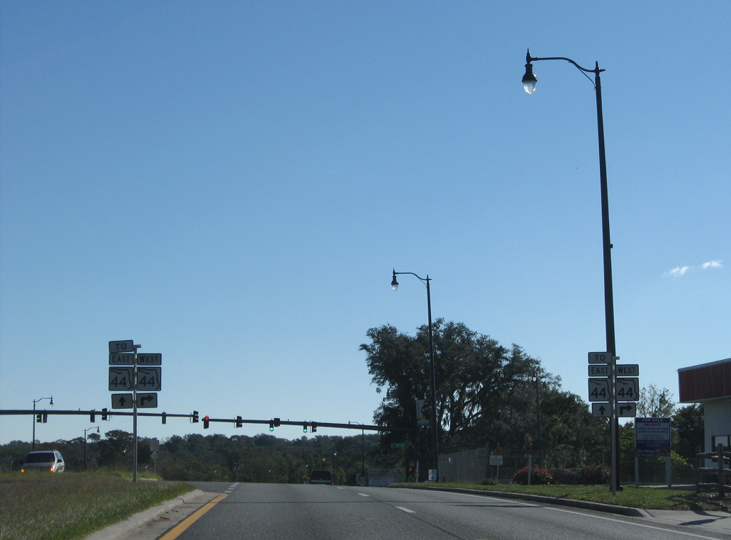
The overlap with SR 44 was previously acknowledged at the exchange with SR 19 north and CR 19A south.
02/29/08
U.S. 441 plies across Lake Woodward east from SR 19 (Bay Street).
02/29/08

Staying on U.S. 441 to Colonial Drive east leads 29 miles to Orlando.
02/29/08
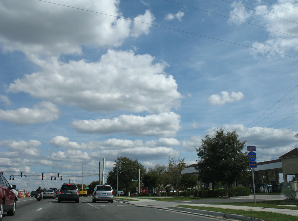
Forthcoming Eudora Road doubles as CR 44C south 0.90 miles to CR 19A and Old CR 441 in west Mount Dora.
02/29/08
Eudora Road extends north from CR 44C and U.S. 441 between Lake Woodward and Lake Louise to Old Mount Dora Road.
02/29/08
U.S. 441 straddles the Eustis and Mount Dora city line east to Mount Dora Market Place retail plaza.
02/29/08
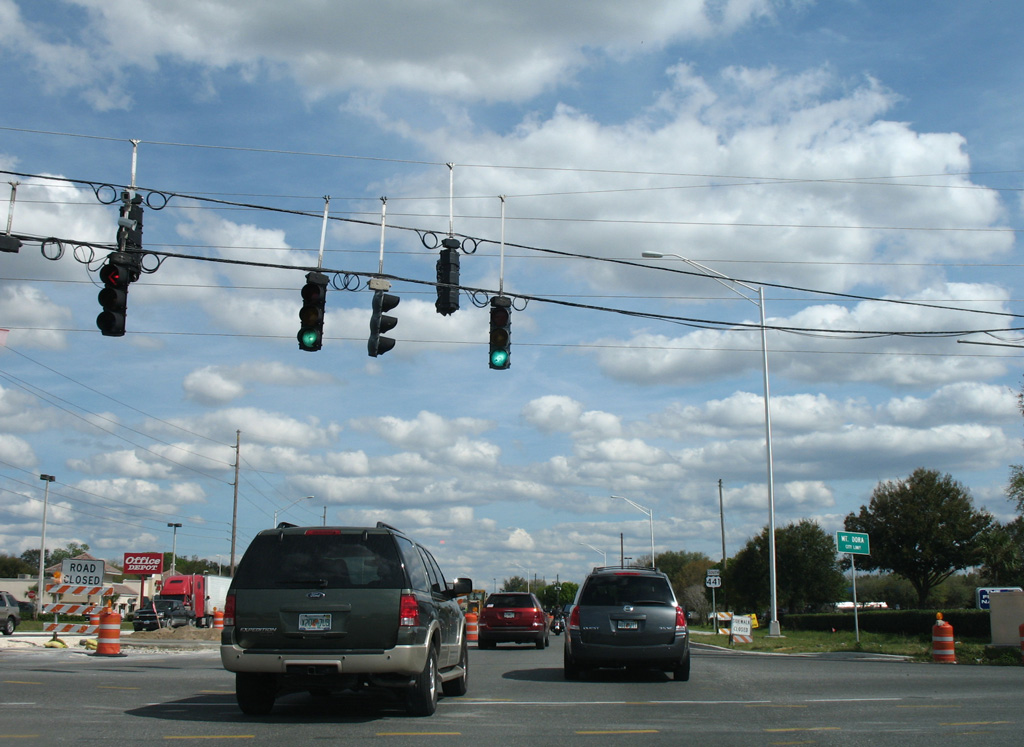
Six lane expansion of U.S. 441 between Eustis and Mout Dora was underway in 2007/09.
02/29/08
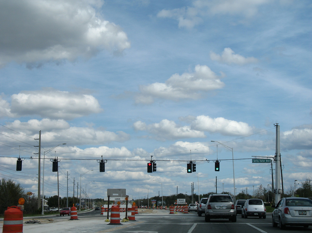
The traffic light at Spring Harbor Boulevard serves an array of big box retail, restaurants and other businesses.
02/29/08
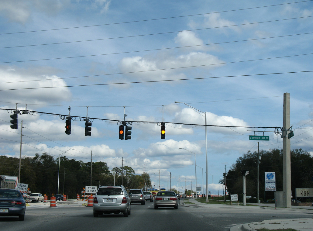
Crooked Lake Drive heads north through residential areas of Eustis by East Crooked Lake and Lake Nettie. South of U.S. 441, Crooked Lake Drive ties into Old Eustis Road by Lake Gertrude.
02/29/08
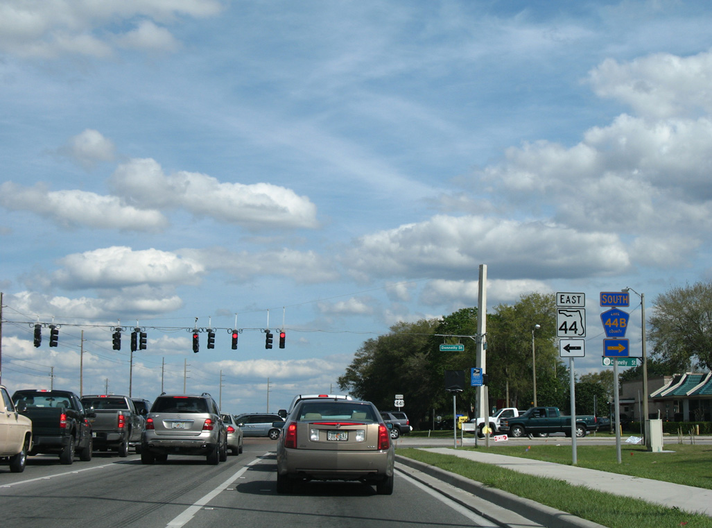
Donnelly Street south 1.62 miles from U.S. 441 to Old CR 441 in Downtown Mount Dora was formerly CR 44C (5th Avenue).
02/29/08
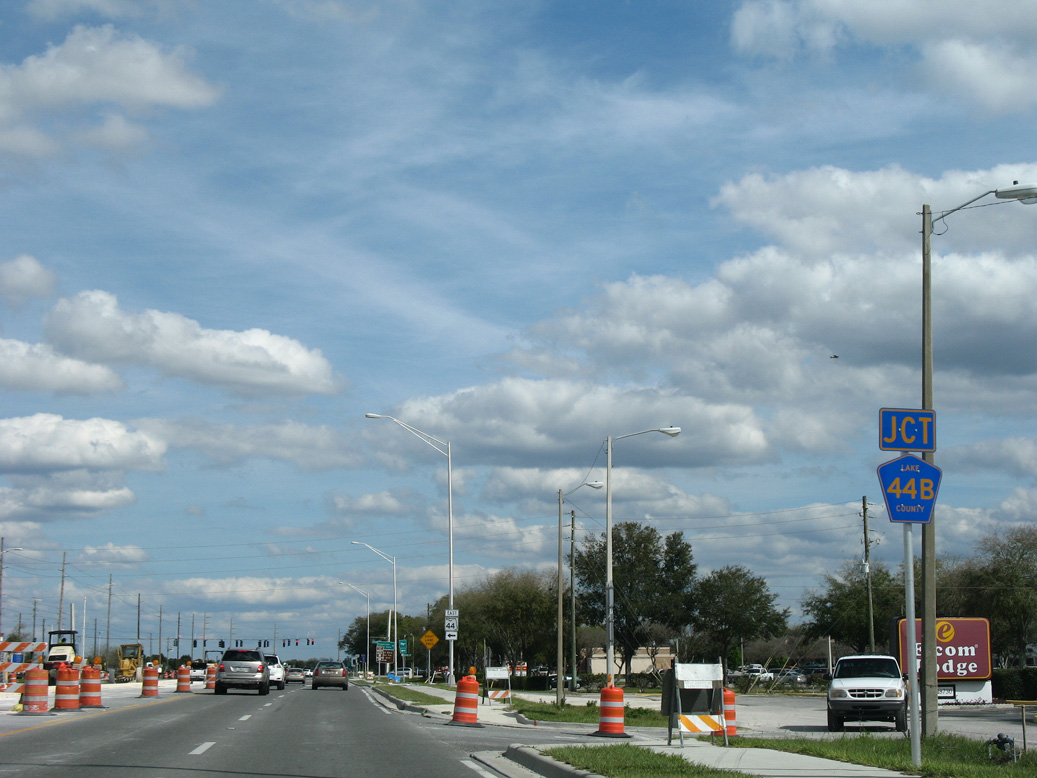
SR 44 replaced what was CR 44B north between Loch Leven and Lake Joanna when the state road was relinquished along Orange Avenue west to Downtown Eustis.
02/29/08
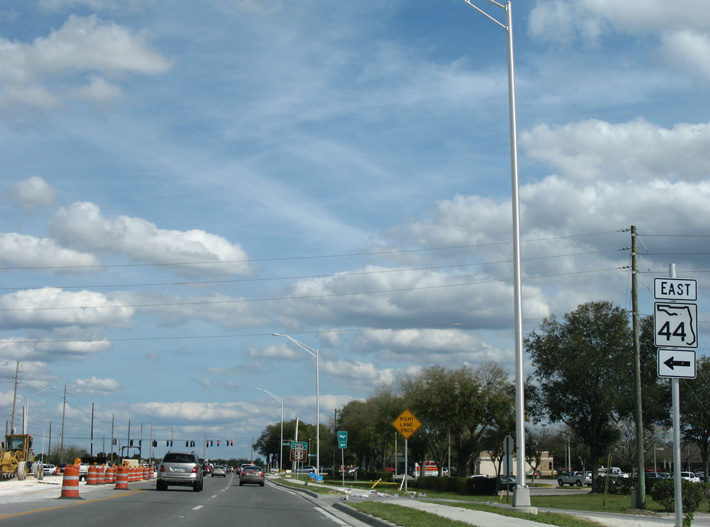
SR 44 separates from U.S. 441 north 2.11 miles to rejoin the original alignment heading northeast from Eustis to DeLand.
02/29/08
South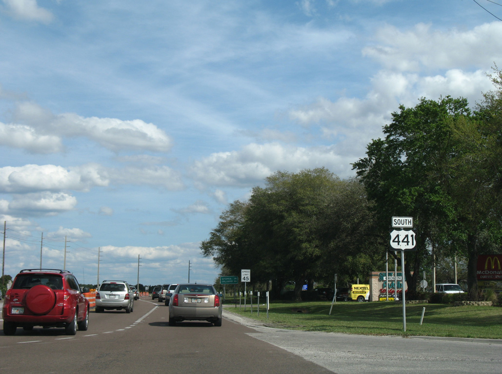
U.S. 441 proceeds east from the commercialized intersection with SR 44 and Donnelly Street to a remaining undeveloped area of orange groves.
02/29/08
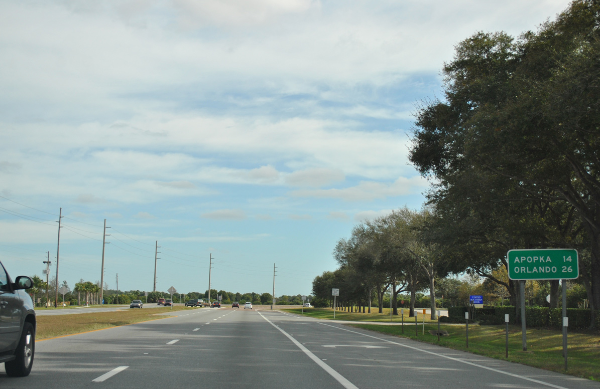
U.S. 441 turns south of Loch Leven toward Zellwood and Apopka.
12/21/11
Country Club Boulevard is the lone entrance to The Country Club of Mount Dora golf course development.
02/29/08

Limit Avenue east meets U.S. 441 across from Wolf Branch Road west. Paralleling SR 46/CR 46 to the north, Wolf Branch Road heads 4.69 miles east to CR 437 near Sorrento.
12/21/11
Lincoln Avenue heads 1.16 miles west from U.S. 441 to Lincoln Avenue Community Park and Donnelly Street (old CR 44C) at W 13th Avenue in Mount Dora.
12/21/11
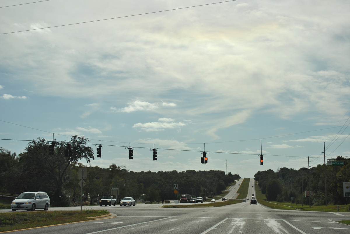
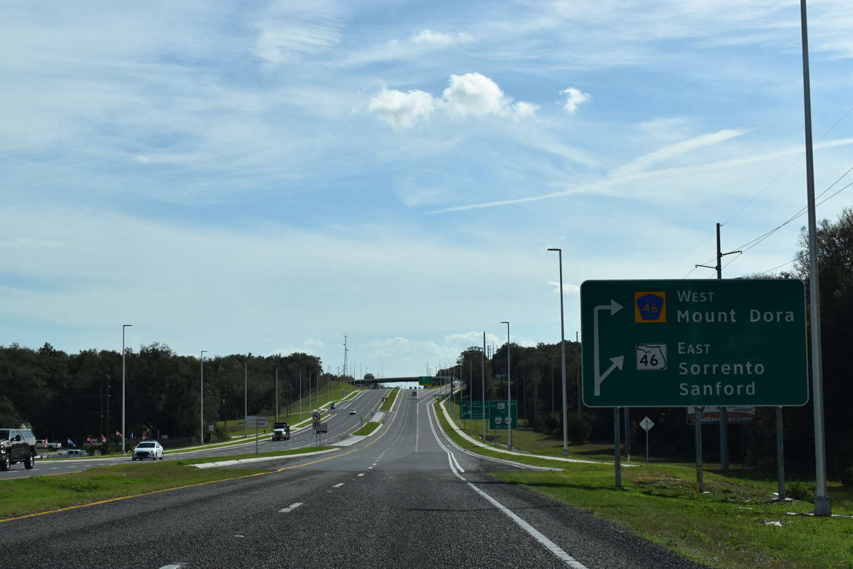
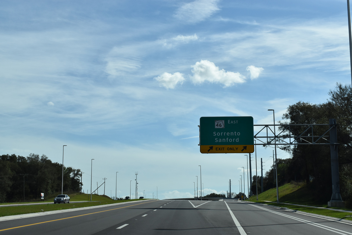
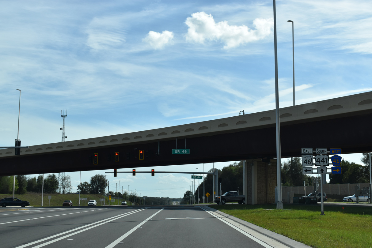
Advancing south, U.S. 441 next meets SR 46 east and CR 46 (E 1st Avenue) west.
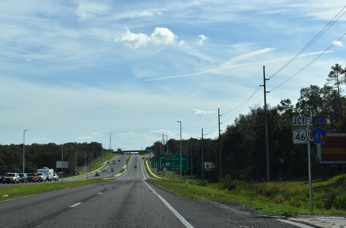
02/12/21
Section 3B construction of Wekiva Parkway widened SR 46 east to a six lane arterial and replaced the diamond interchange at U.S. 441 with a signalized intersection and flyover joining southbound to eastbound. Work ran from October 2017 to Fall 2020.
02/12/21
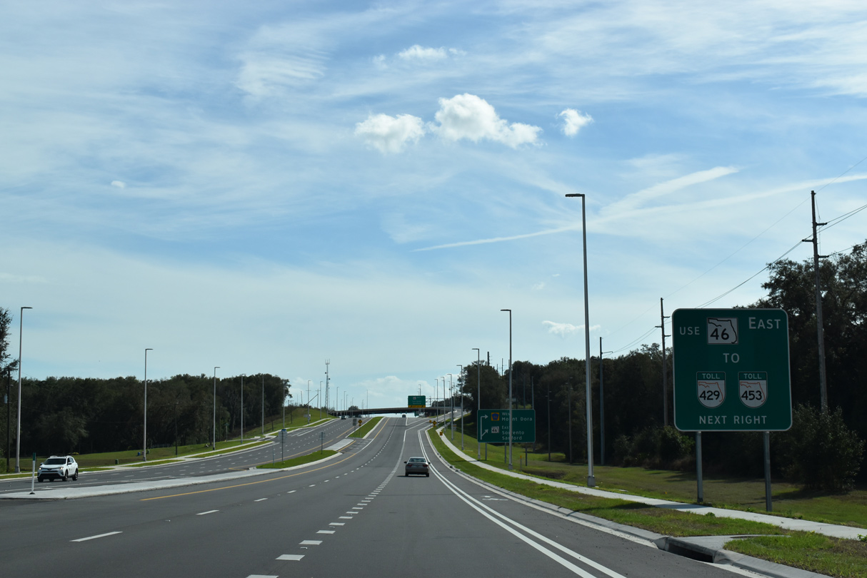
The western leg of SR 46 runs 2.51 miles east from E 1st Avenue to SR 453 (Mount Dora Connector). The Mount Dora Connector comprises a toll road southeast to SR 429 (Wekiva Parkway).
02/12/21
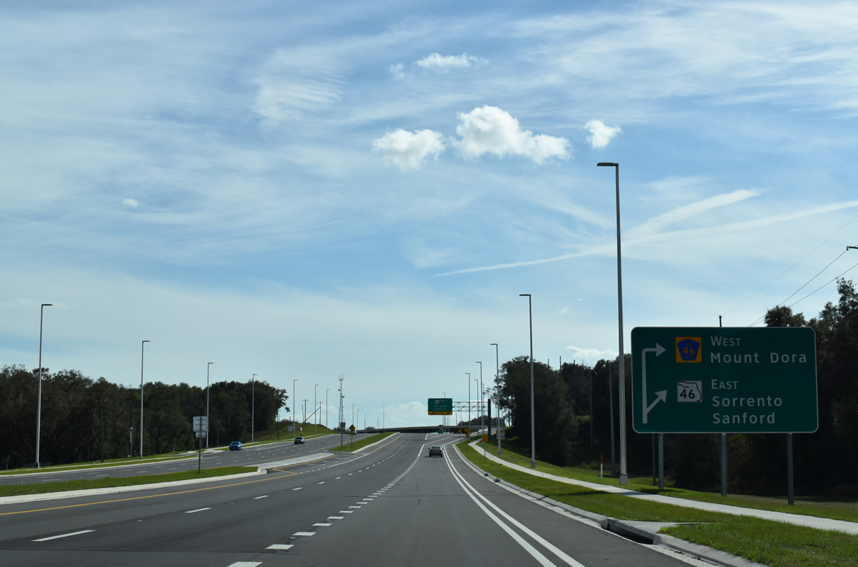
East of SR 453 (Mount Dora Connector), SR 46 was downgraded to CR 46 to Sorrento and Mount Plymouth. SR 46 resumes east from the exchange joining Wekiva Parkway with CR 46A. to Sanford.
02/12/21
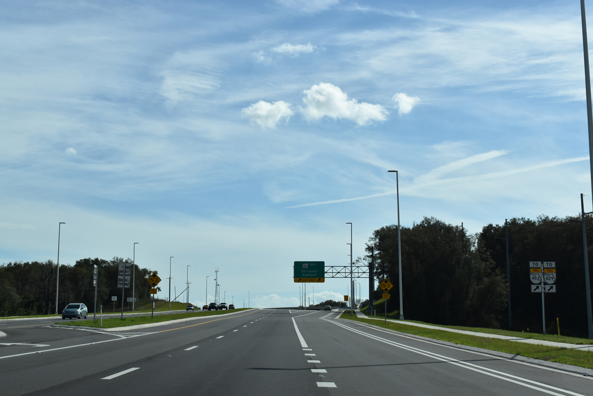
The Mount Dora Connector opened south from SR 46 to SR 429 (Wekiva Parkway) on March 31, 2018. Wekiva Parkway travels south to Apopka and east to Sanford.
02/12/21
SR 429 (Wekiva Parkway) travels east from SR 46 to Interstate 4 at SR 417 (Seminole Expressway) in Sanford. The toll road was completed in Fall 2023.
02/12/21
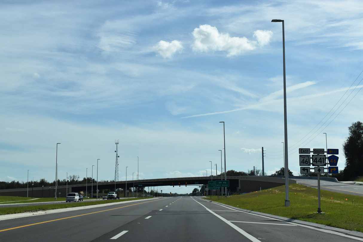
CR 46 connects U.S. 441 and SR 46 with Old CR 441 (Highland Street) in the Mount Dora street grid, 0.60 miles to the west.
02/12/21
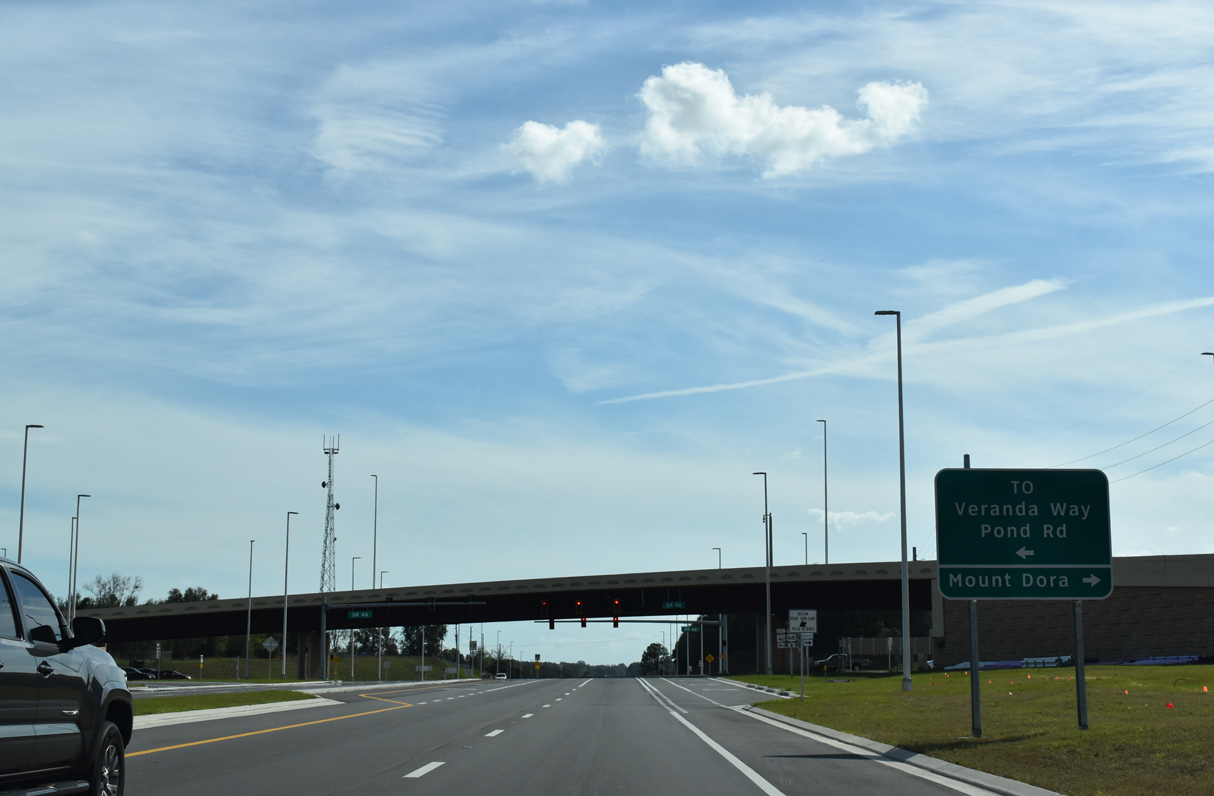
The left turn from U.S. 441 south to SR 46 east provides access to Veranda Way north and Pond Road south, local streets bypassed by the flyover.
02/12/21
Overall SR 46 travels in sections between Mount Dora and U.S. 1 at Mims on the Space Coast.
02/12/21
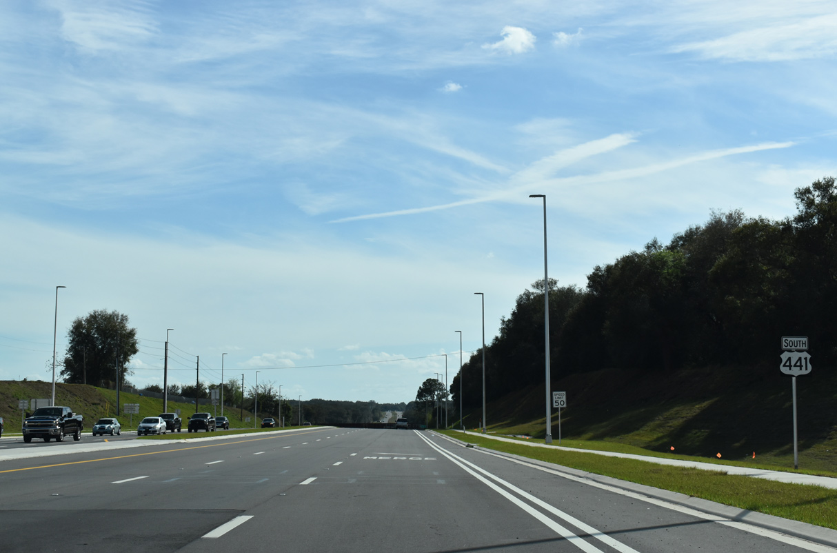
U.S. 441 reduces from six to four lanes south of SR 46/CR 46.
02/12/21

U.S. 441 passes under the Florida Central Railroad, 11 miles northwest of Downtown Apopka.
02/12/21
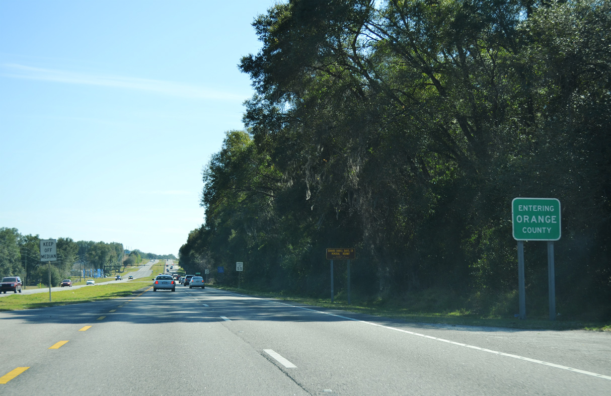
U.S. 441 enters Orange County east of Mount Dora Golf Club.
02/27/16

Photo Credits:
- ABRoads: 11/16/08, 01/17/10, 12/21/11, 02/27/16, 02/12/21, 04/14/23
- Alex Nitzman: 02/29/08, 04/28/08, 11/14/16, 04/14/23
Connect with:
Page Updated Friday August 11, 2023.