
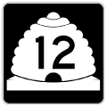
State Route 12
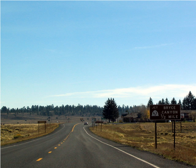
123.22 miles in length, the Utah 12 Scenic Byway connects Red Canyon, Bryce Canyon, Escalante, and Capitol Reef in south central Utah. Starting at U.S. 89 at Bryce Canyon Junction, SR 12 heads east, meeting SR 63 at Rubys Inn. SR 63 spurs south into Bryce Canyon National Park while SR 12 heads southward from Rubys Inn through Tropic to Cannonville with a connection to Kodachrome State Park.
SR 12 traverses areas of Grand Staircase-Escalante National Monument northeast to Escalante and Boulder. Ascending to 9,501 feet above sea level at Point Lookout, SR 12 encircles Boulder Mountain northward across the Wayne County line to Grover. The scenic byway concludes at SR 24 near Torrey and west of Capitol Reef National Park.
After exiting U.S. 89, this picture shows the first shield for Utah 12 east. It is designated as an official scenic byway for its entire length.
10/25/03
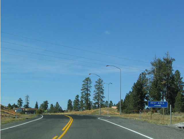
Mileage sign along eastbound Utah 12 in Bryce Canyon Junction. A couple of motels and restaurants are located here, and they are conveniently located near the intersection between Utah 12 and U.S. 89, making the area easily accessible to attractions along either of these roads or even Utah 14.
10/25/03
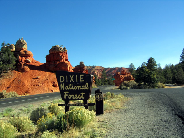
A couple miles east of the junction, Utah 12 enters Dixie National Forest. With the exception of the segment between Tropic and Cannonville and the segment between Grover and Torrey (Utah 24), most of Utah 12 is located within a national forest, national park, or national monument.
10/25/03
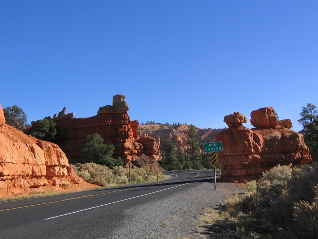
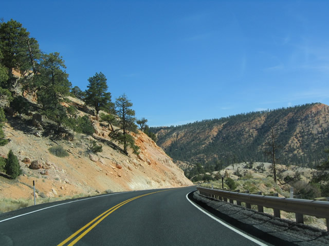
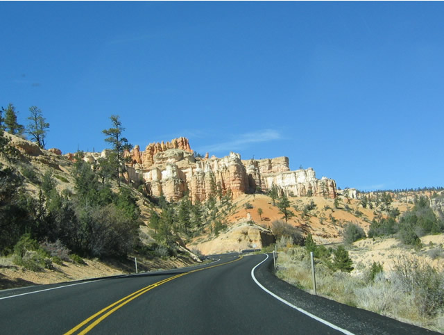
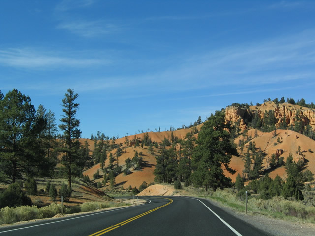
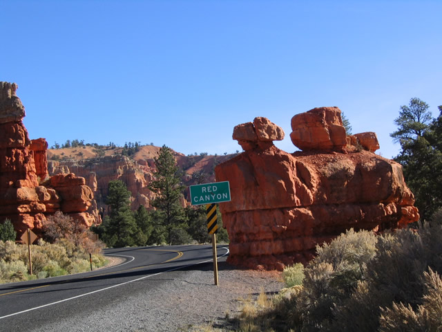
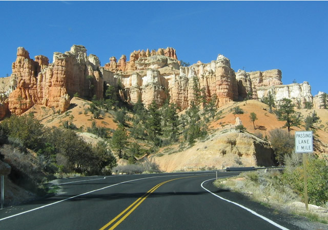
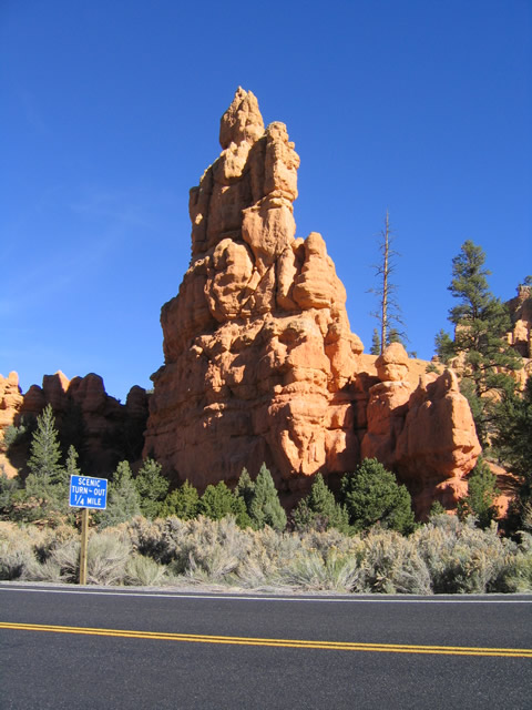
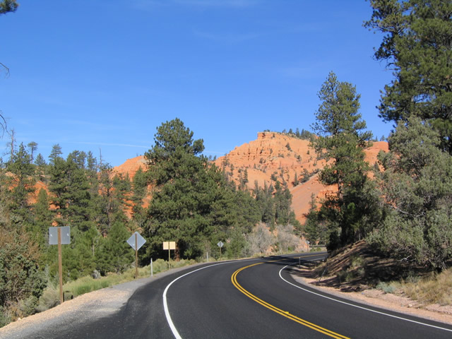
Utah 12 passes these spires and rock formations upon entering aptly named Red Canyon after passing the Dixie National Forest boundary.
10/25/03
Mileage sign along eastbound Utah 12 in the vicinity of Red Canyon, indicating that Bryce Canyon is 14 miles ahead (via Utah 12 and Utah 63).
10/25/03
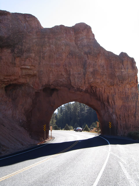
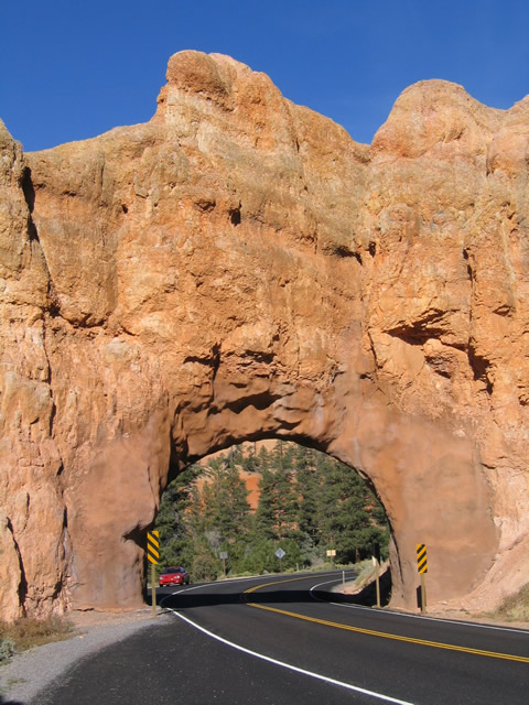
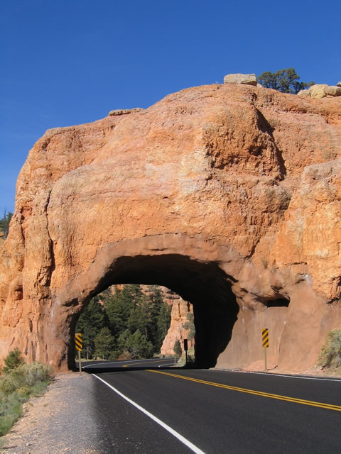
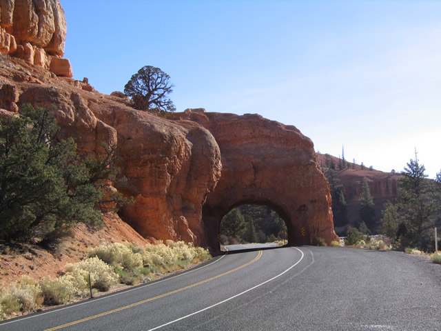
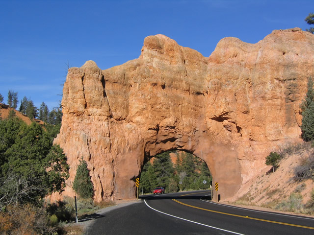
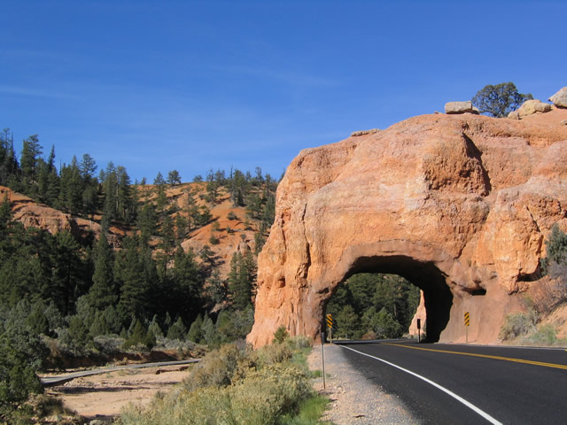
Utah 12 passes through two tunnels as part of the Red Canyon. Both tunnels are very short, and they cut through the red rock. Pull outs are available on either side of both tunnels to allow for picture taking and closer inspection. A bicycle and walking path is located adjacent to the highway on the south side, and that allows for safe walking between the two tunnels. The first picture shows the first tunnel along eastbound, and the second picture shows the second tunnel.
10/25/03
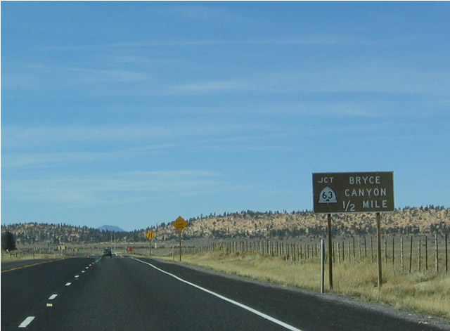
Now departed from Red Canyon, east Utah 12 approaches Utah 63 and Garfield County Route 1660 at Rubys Inn. The main function of Utah 63 is to funnel traffic into Bryce Canyon National Park, as evidenced by the brown guide sign used for the pending junction.
10/25/03
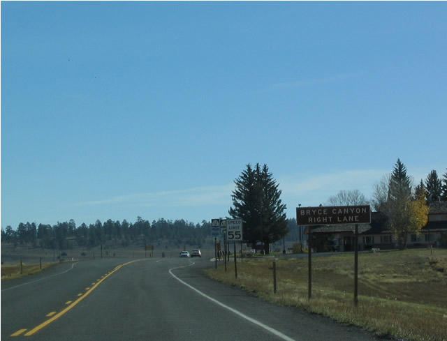
Utah 12 gains an exit-only lane to allow turning traffic to decelerate for the turn onto southbound Utah 63. The early-morning sun makes this photo a bit dark.
10/25/03
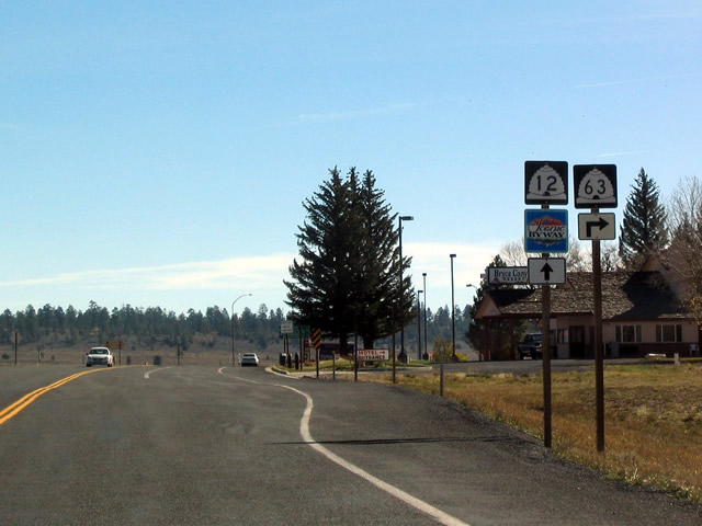
Utah 12 east and Utah 63 south shields as seen along eastbound. This intersection marks the northern terminus of Utah 63. As is typical in Utah, there are no shields present for Garfield County Route 1660 north.
10/25/03
Utah 12 continues east to Tropic, Cannonville, and Escalante. Meanwhile, Garfield County Route 1660 turns left toward Antimony. County Route 1660 follows the East Fork of the Sevier River, and it changes into Utah 22 at Antimony.
10/25/03
Shields for Utah 12 and Utah 63 as seen from the exit-only right lane.
10/25/03
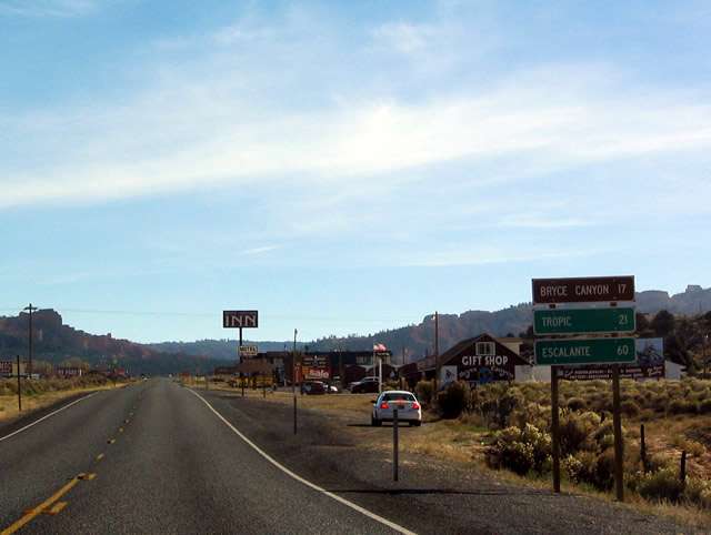
After passing the junction with Utah 63, Utah 12 begins a descent to the Paria River Valley. The towns of Tropic and Cannonville are located in this valley, and the highway has a few curves along the descent.
10/25/03
The topography of the land changes a bit as the highway lowers its elevation. Most of the bright red and orange hues found in the higher terrain around Red Canyon and Bryce Canyon have changed to a more neutral brown. However, some splashes of color may be found here, including Kodachrome Basin State Park.
10/25/03
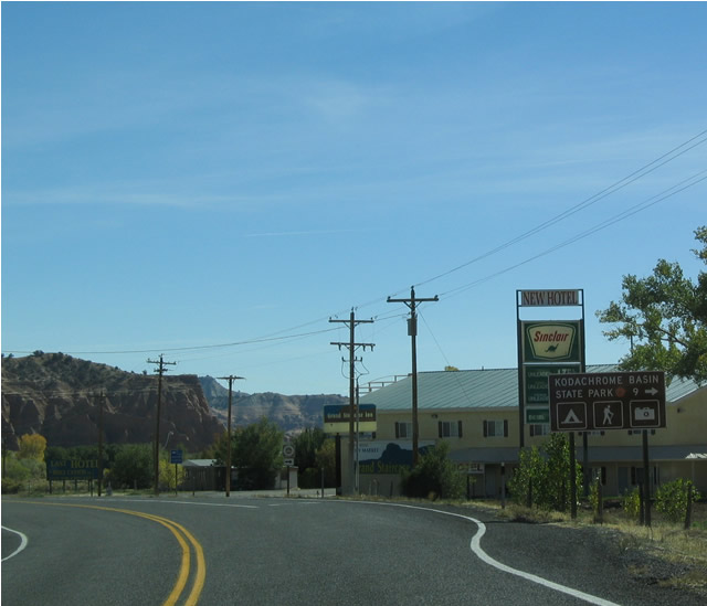
Eastbound Utah 12 at Junction "To" Utah 308 to Kodachrome Basin State Park in the town of Cannonville. This right turn leads to a Garfield County route (Kodachrome Road/Main Street) that changes into a Kane County route (Cottonwood Canyon Road) upon crossing the county line. A few miles south of the county line, Cottonwood Canyon Road reaches Utah 308, a segment of state route discontinuous with the rest of the state system. Utah 308 is specifically identified in Utah law, and it is not designated to connect with Utah 12; it is merely the "driveway" into the state park.
10/25/03
Utah 12 east meets Main Street (Kodachrome Road) in downtown Cannonville. Utah 12 continues east into the northern reaches of the mammoth Grand Staircase-Escalante National Monument, then turns northeast toward Escalante and Escalante State Park.
10/25/03
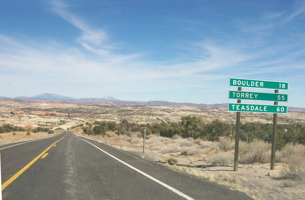
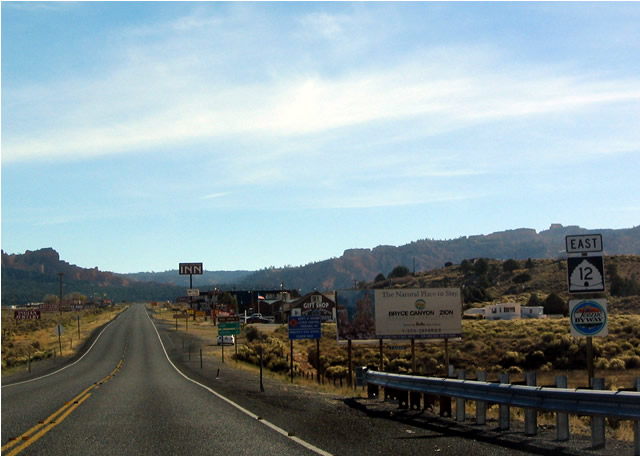
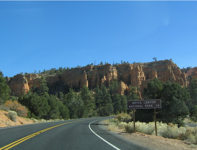
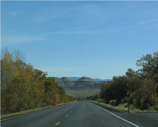
About ten miles northeast of Escalante, this mileage sign along Utah 12 east provides the distance to Boulder (18 miles) and the towns of Torrey and Teasdale via Utah 24 west (55 and 60 miles, respectively). Utah 12 ends at Utah 24 just west of Capitol Reef National Park near Torrey.
03/11/07
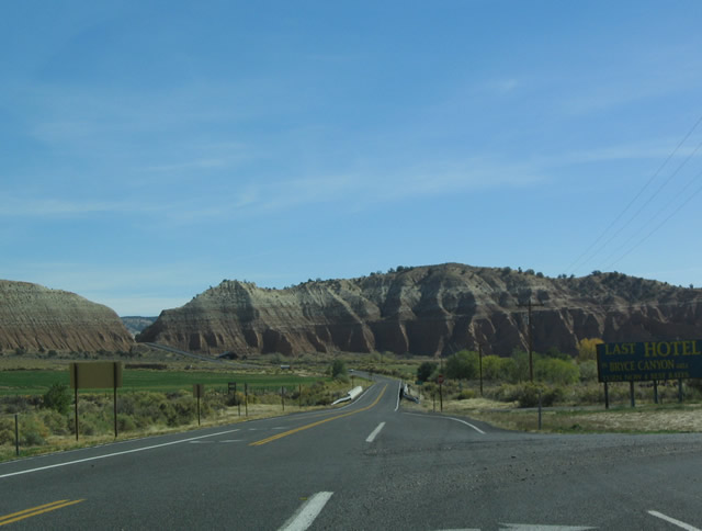
Upon leaving Cannonville, the cliffs on the hills above the highway suggest the kind of colors and rock formations to be seen in the area around Bryce Canyon. At this lower elevation, such rock formations do not exist.
10/25/03
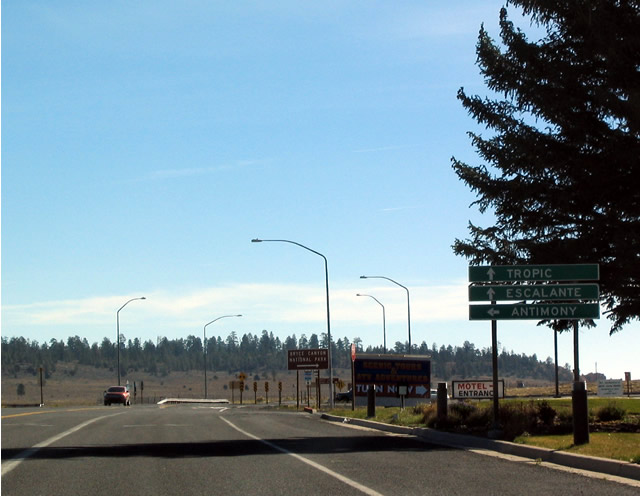
Mileage sign along westbound after leaving Cannonville. The two destinations listed on this sign are Bryce Canyon National Park via Utah 63 and U.S. 89. Rubys Inn (Utah 63) and Red Canyon is omitted.
10/25/03
As Utah 12 rises above the Paria River Valley, it encounters rock formations such as these that are reminiscent of the hoodoo rock formations in Bryce Canyon.
10/25/03
Upon reaching the top of the hill, Utah 12 approaches its junction with Utah 63 south and unsigned Garfield County Route 1660 north, one-quarter mile.
10/25/03
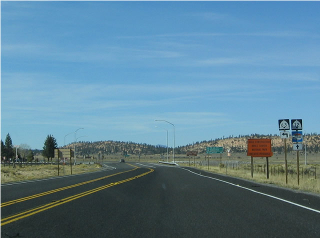
While there are no services at the intersection between Utah 12 and Utah 63 itself, there are some services a short distance south along Utah 63.
10/25/03
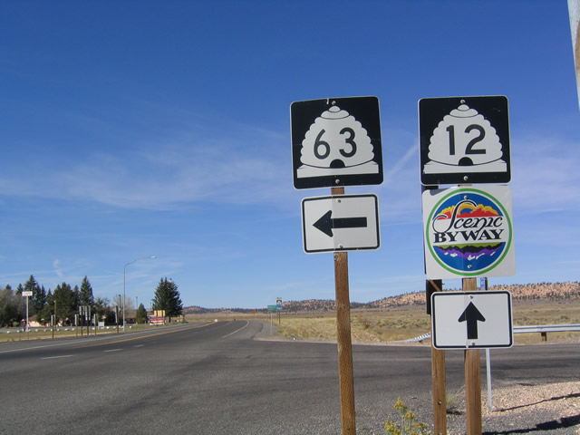
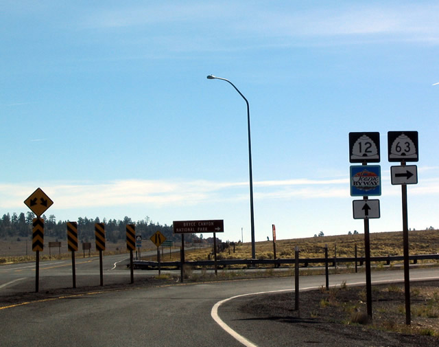
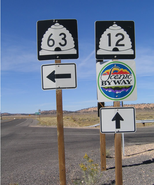
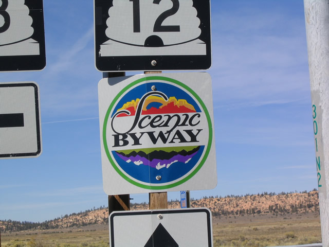
These shields are located on westbound Utah 12 at the intersection with Utah 63. Unsigned Garfield County Route 1660 continues north from this intersection to meet Utah 22 in Antimony; Utah 63 heads south a few miles to the northern entrance to Bryce Canyon National Park. The close-ups show the detail of the state route shields and the scenic byway shield.
10/25/03
Westbound Utah 12 shield and mileage sign after Utah 63.
10/25/03
A rest area is located along Utah 12 west after the Utah 63 junction.
10/25/03
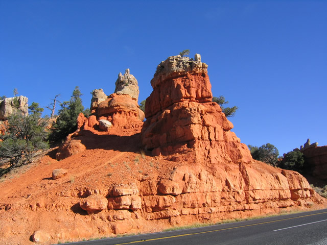
Scenery abounds on this stretch of Utah 12, including this red mountain found on westbound.
10/25/03
Westbound Utah 12 approaching the first of two tunnels in the Red Canyon area. These two tunnels allow Utah 12 to pass under two of the red rock formations without having to pass over the riverbed to the south.
10/25/03
The second tunnel in Red Canyon as seen from the pullout on the south side of westbound Utah 12 in Dixie National Forest.
10/25/03
Utah 12 passes these spires and rock formations in Red Canyon after the tunnels.
10/25/03
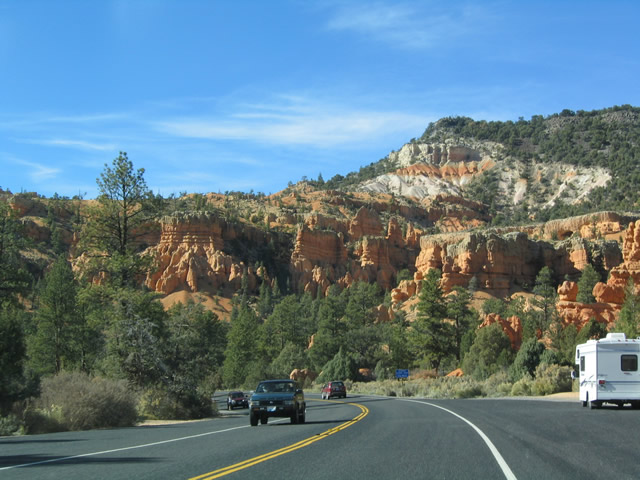
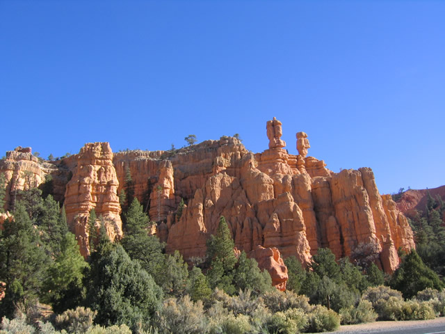
After passing through the two tunnels, Utah 12 passes by some beautiful red rock formations contrasted by the green trees and shrubs that surround it. In some of these high desert locations, the wettest part of the year may be during the summer, when afternoon thunderstorms become more common. Winter snows also bring moisture to the area. This is unlike the southern deserts of Southern California and Arizona, where such storms are less frequent.
10/25/03
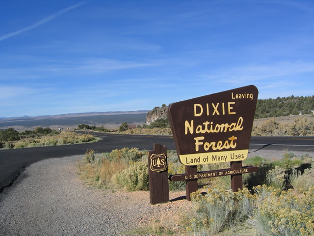
After leaving the Red Canyon area, Utah 12 west leaves Dixie National Forest. Upon leaving the national forest, the trees begin to disappear, and the sagebrush plain dominates the Sevier River Valley ahead.
10/25/03
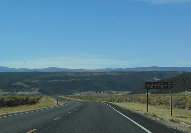
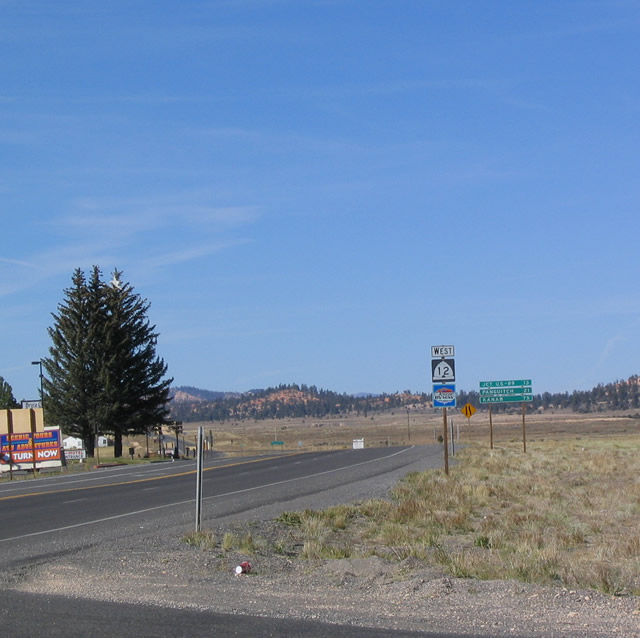
Signage for Losee Canyon and Casto Canyon, two areas located within Dixie National Forest that may be accessed by dirt and gravel roads, appears on westbound Utah 12. Both areas are located north of Utah 12. Utah 12, meanwhile, loses a bit of elevation as it reaches Bryce Canyon Junction and U.S. 89 in the distance.
10/25/03
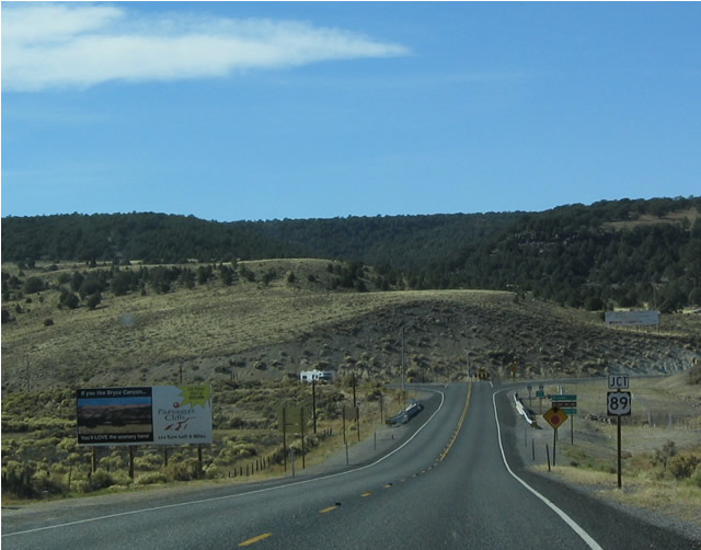
Westbound Utah 12 approaching U.S. 89 at Bryce Canyon Junction. This intersection marks the western terminus of Utah 12; to reach Interstate 15, travelers may use U.S. 89 north to Utah 20 west via Panguitch and Brians Head to Parowan or U.S. 89 south to Utah 14 west to Cedar City.
10/25/03
U.S. 89 north leads to Panguitch, Circleville, Junction, Marysville, and Sevier before reaching Interstate 70 Exit 23. At that point, U.S. 89 north merges onto Interstate 70 east into Richfield. As for U.S. 89 south, it connects to Cedar City and Cedar Breaks National Park via Utah 14 and Zion National Park via Utah 9.
10/25/03
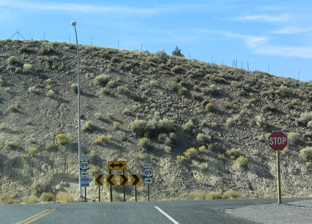
The U.S. 89 shields were erroneously replaced with Utah 89 shields in both this shield assembly and the assembly used on northbound U.S. 89 approaching Utah 12 east. There is no end shield, and it appears that the Utah Scenic Byway shield was removed from beneath the Utah 89 shield.
10/25/03
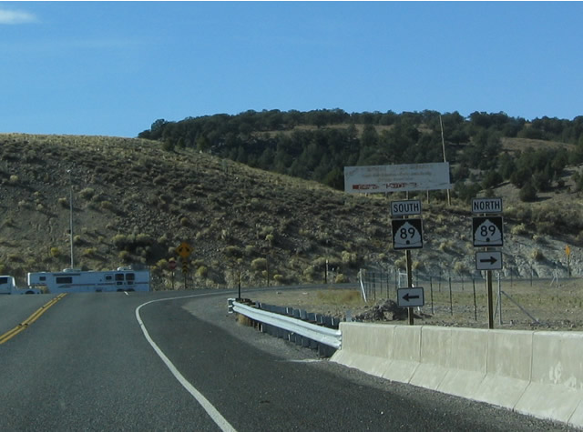
Now reaching its western terminus, Utah 12 traffic must choose between U.S. 89 north and U.S. 89 south.
10/25/03
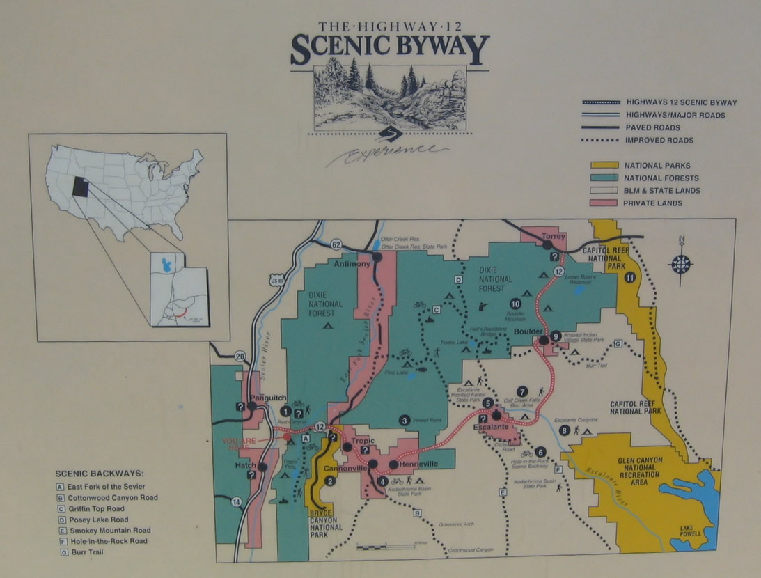
This roadside map shows the main attractions and parks along the length of the Utah 12 Scenic Byway at the rest area/pullout located just west of Red Canyon. From west to east, the attractions include Red Canyon/Dixie National Forest, Bryce Canyon, Kodachrome Basin State Park, Grand Staircase-Escalante National Monument, Escalante Petrified Forest State Park, and Capitol Reef National Park. This map is located at the rest area located on the south side of Utah 12 at the western entrance into Red Canyon.
10/25/03
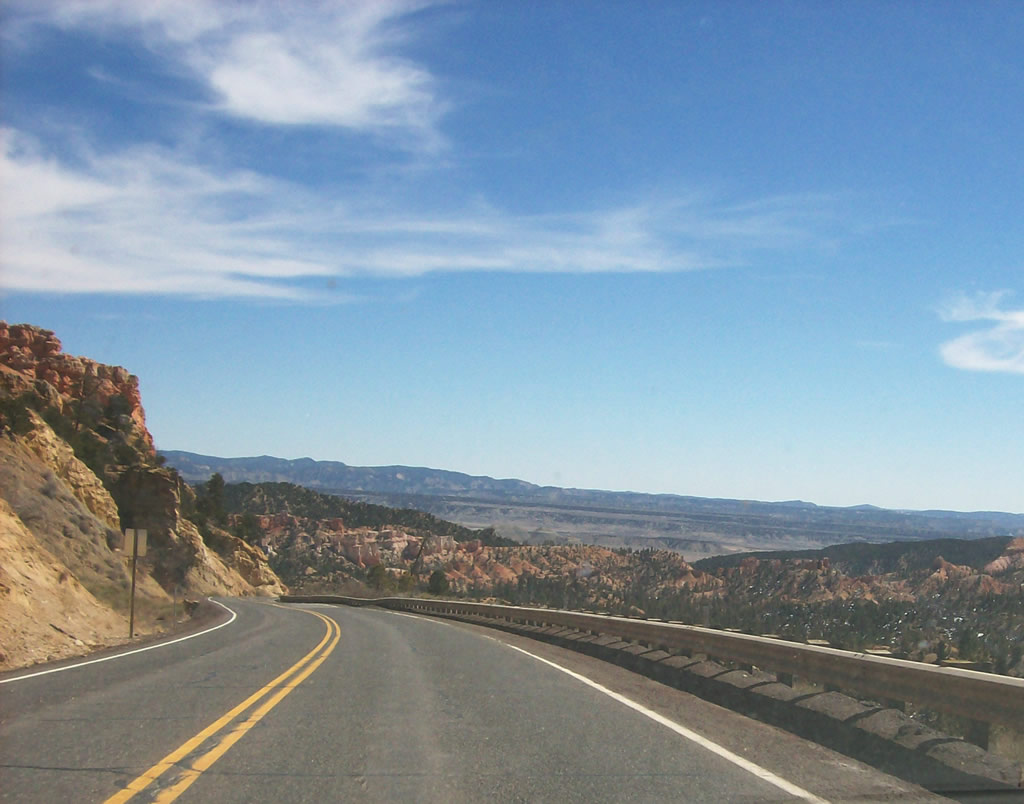
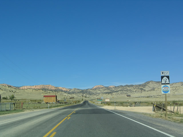
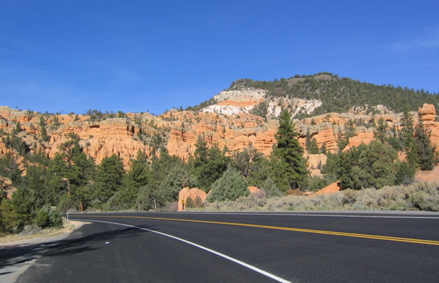
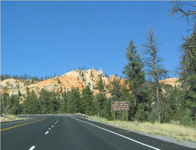
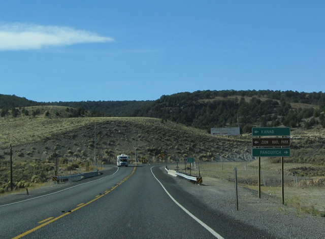
This view shows eastbound Utah 12 as it approaches Bryce Canyon National Park east of Panguitch.
03/11/07
Photo Credits:
- Andy Field: 10/25/03
- Kenny Chuck: 03/11/07
Connect with:
Page Updated Tuesday May 22, 2012.