
State Route 76

Utah State Route 76 travels just 2.431 miles as a frontage road linking Interstate 70 with the Ivie Creek Rest Area and SR 72 at Fremont Junction. The state route follows a portion of old Utah 10 through Fishlake National Forest.
Signs for Exit 86 along I-70 omit the state route and instead only reference the adjacent rest area along SR 76.
SR 76 begins at the diamond interchange (Exit 86) with I-70 near Pine Hollow. The state route overtakes old U.S. 50 east beyond the east side ramps with I-70.
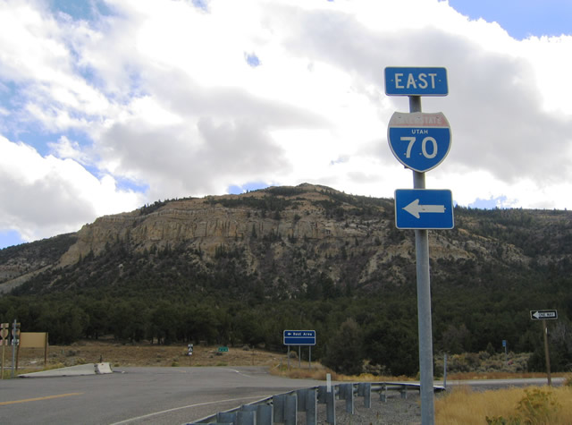
Prior to 2006, this state named shield for I-70 was one of just two remaining in use throughout the state of Utah (the other was posted in Salina).
10/18/04
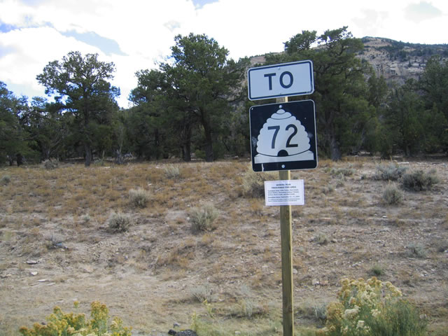
SR 76 provides a direct route to SR 72 south to the Wayne County seat of Loa. SR 72 meets I-70 directly at Exit 91, but 1.9 miles east of Fremont Junction.
10/18/04
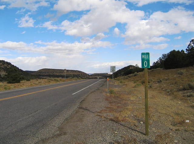
The zero milepost for SR 76 east. The state route connects I-70 with the nearby Ivie Creek Rest Area. The facility is the lone full service rest area between Cove Fort and Crescent Junction along Interstate 70.
10/18/04
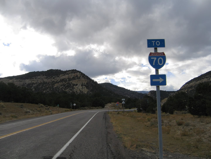
Interstate 70 trailblazer posted after the Ivie Creek Rest Area and ahead of the diamond interchange at Exit 86.
10/18/04
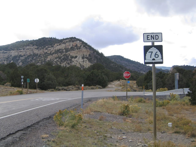
An end shield stands at the access road linking SR 76 (old SR 10) with the ramps for I-70 & U.S. 50. Interstate 70 replaced SR 10 west of Exit 86 to Salina. Old SR 10, now a National Forest Road, continues west, along the south side of I-70, to Emigrant Pass.
10/18/04
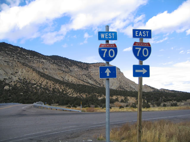
Turning north onto the Exit 86 access road from SR 76 west, motorists depart for I-70/U.S. 50 east to Green River and Denver, Colorado.
10/18/04
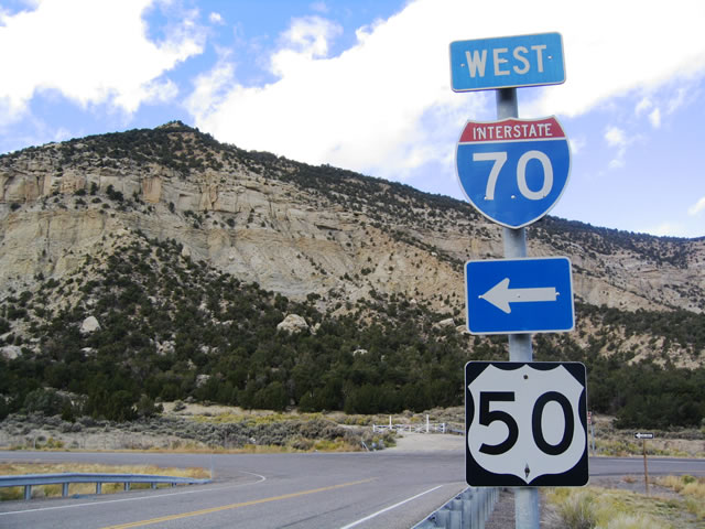
U.S. 50 appears at the westbound on-ramp to Salina and Cove Fort. The U.S. highway is signed sparingly on its overlap with Interstate 70 throughout the state of Utah.
10/18/04
Photo Credits:
- AARoads: 10/18/04
Connect with:

Page Updated Tuesday July 12, 2016.