
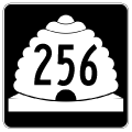
State Route 256
State Route 256 follows a historic alignment of U.S. 89 west from U.S. 89 through the town of Redmond in the Sevier Valley. The state route measures 5.595 miles as it branches west from U.S. 89 across the Sevier River to State Street through Redmond. SR 256 converges with U.S. 89 north of Salina-Gunnison Airport (SBO) in southern Sanpete County.
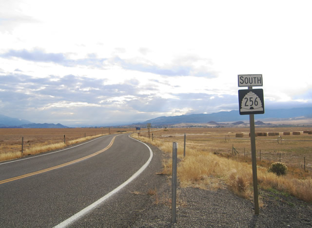
The north end of SR 256 lies just south of Willow Creek and the rural community of Axtell in southern San Pete County.
10/18/04
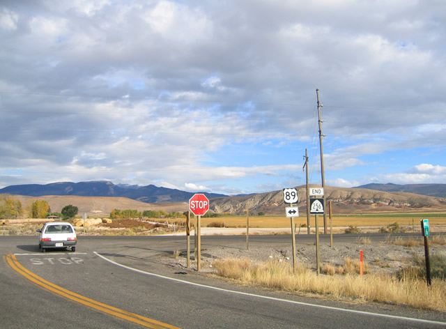
SR 256 begins and angles southwest from U.S. 89 to Salina-Gunnison Airport (SBO).
10/18/04
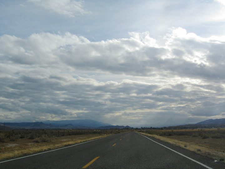
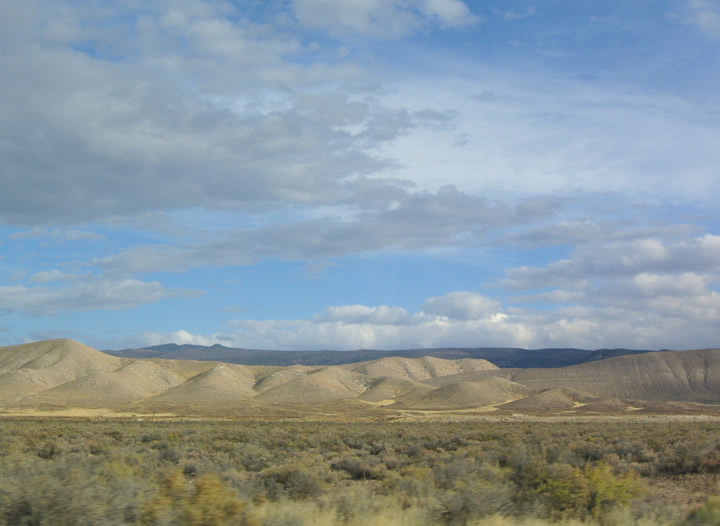
SR 256 crosses the Sevier County line at milepost 4.481. Spreading along the horizon are the distant Fishlake Mountains to the east and the Pahvant Range to the southwest.
10/18/04
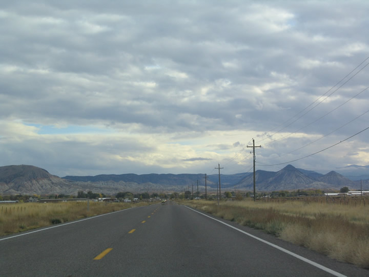
Looking east toward the Cedar Mountains from SR 256 near the Sevier River.
10/18/04
The Valley Mountains rise west of Redmond and Sevier Valley as part of the Pahvant Range. Areas of west of the Sevier River are agricultural.
10/18/04
SR 256 takes a linear route south from State Street and the Redmond city center to converge with U.S. 89. A short segment of abandoned U.S. 89 rests behind the barrier ahead.
10/18/04
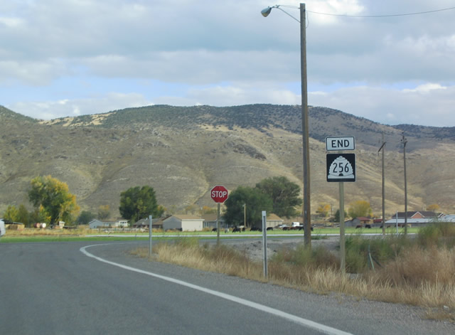
An end SR 266 shield precedes the T-intersection with U.S. 89.
10/18/04
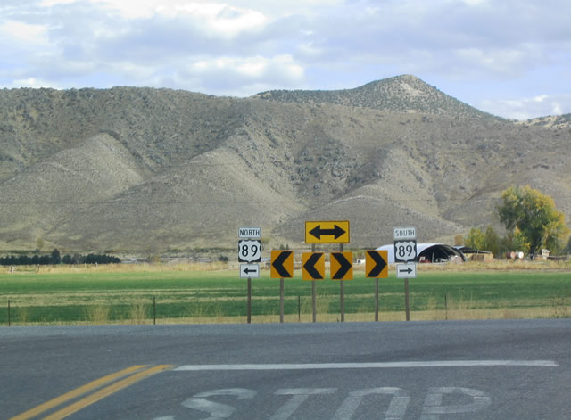
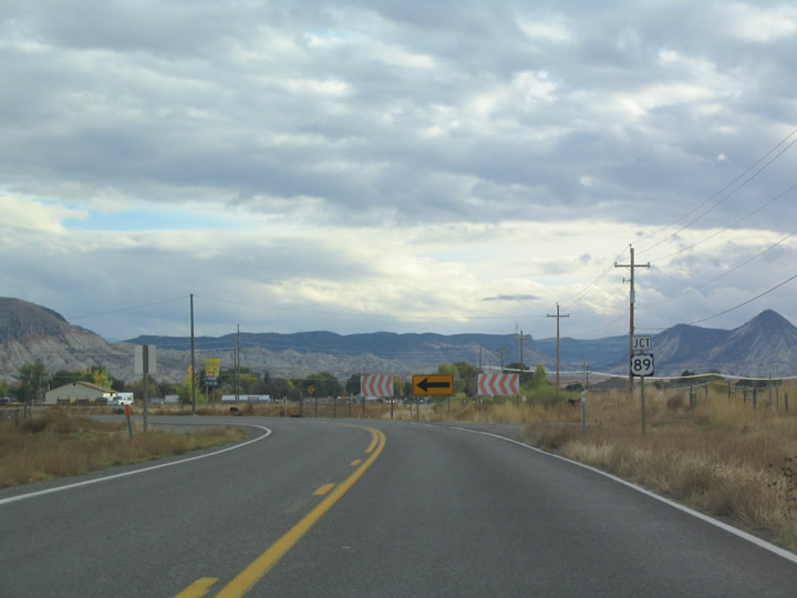
U.S. 89 shields at the south end of SR 256. Downtown Salina is a one mile drive to the south.
10/18/04
Photo Credits:
- AARoads: 10/18/04
Connect with:
Page Updated Monday July 30, 2018.