
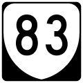
State Route 83
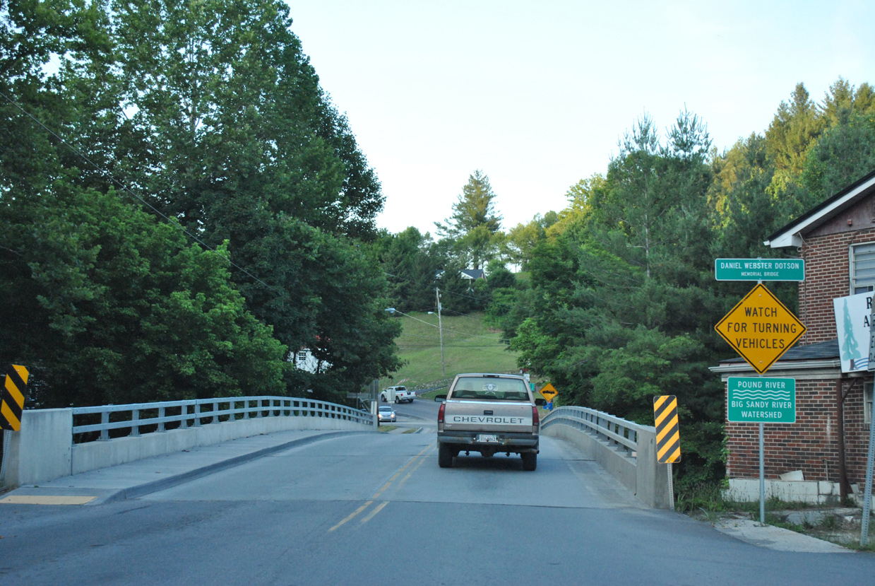
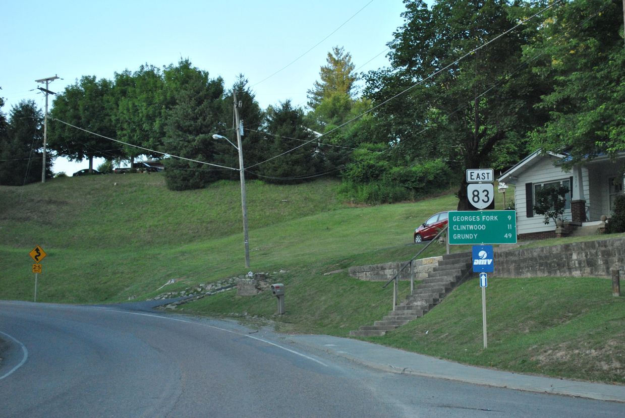
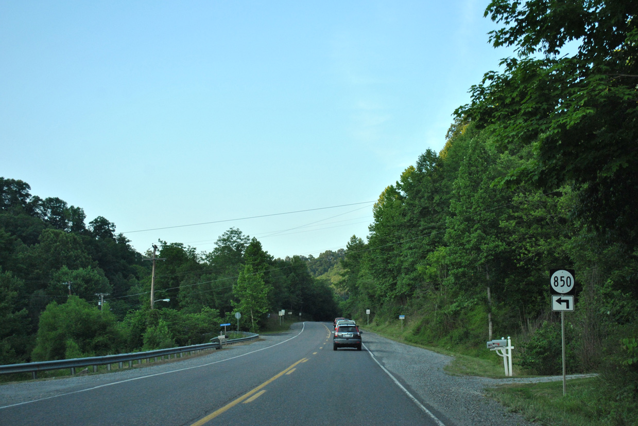
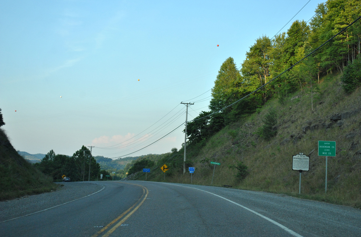
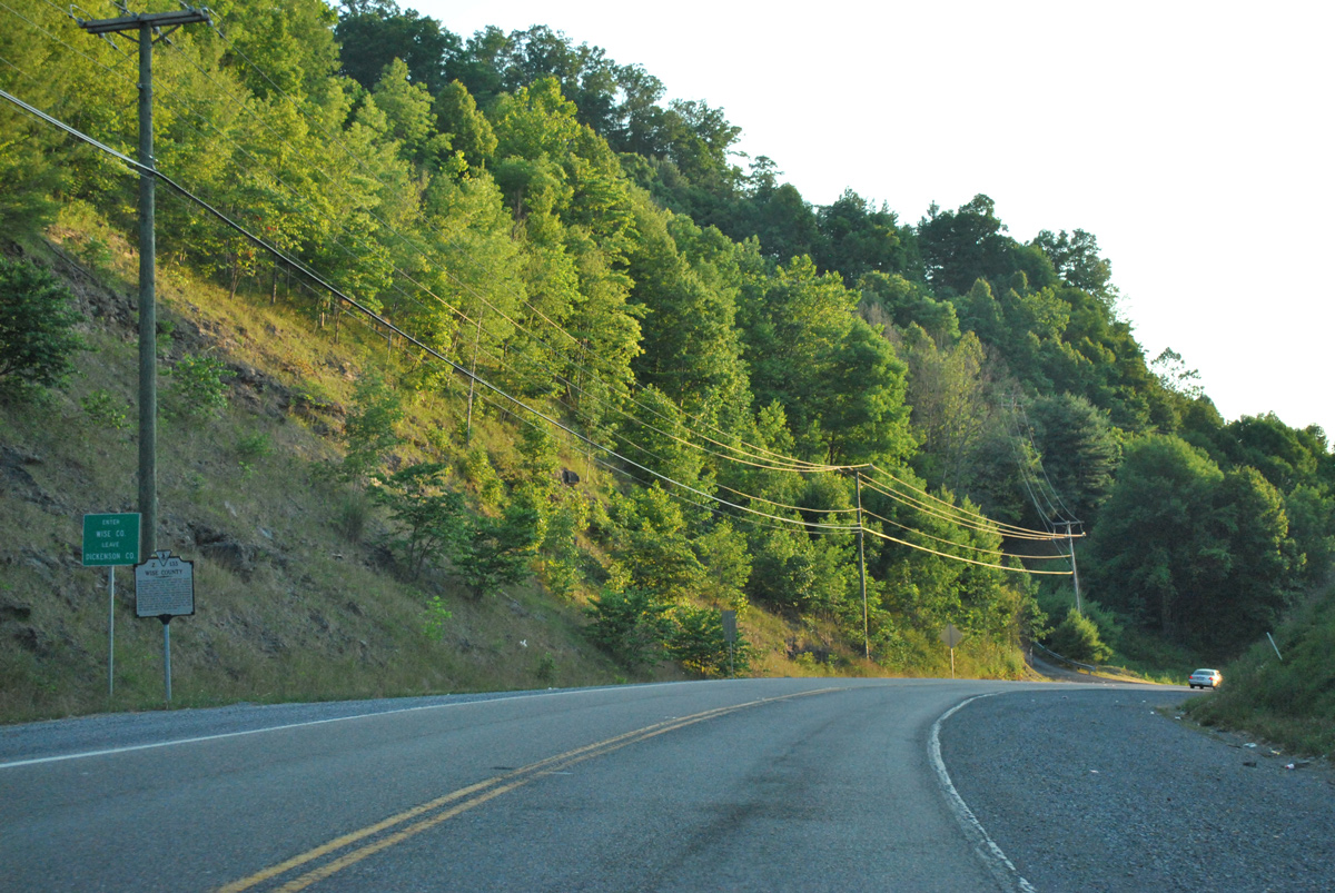
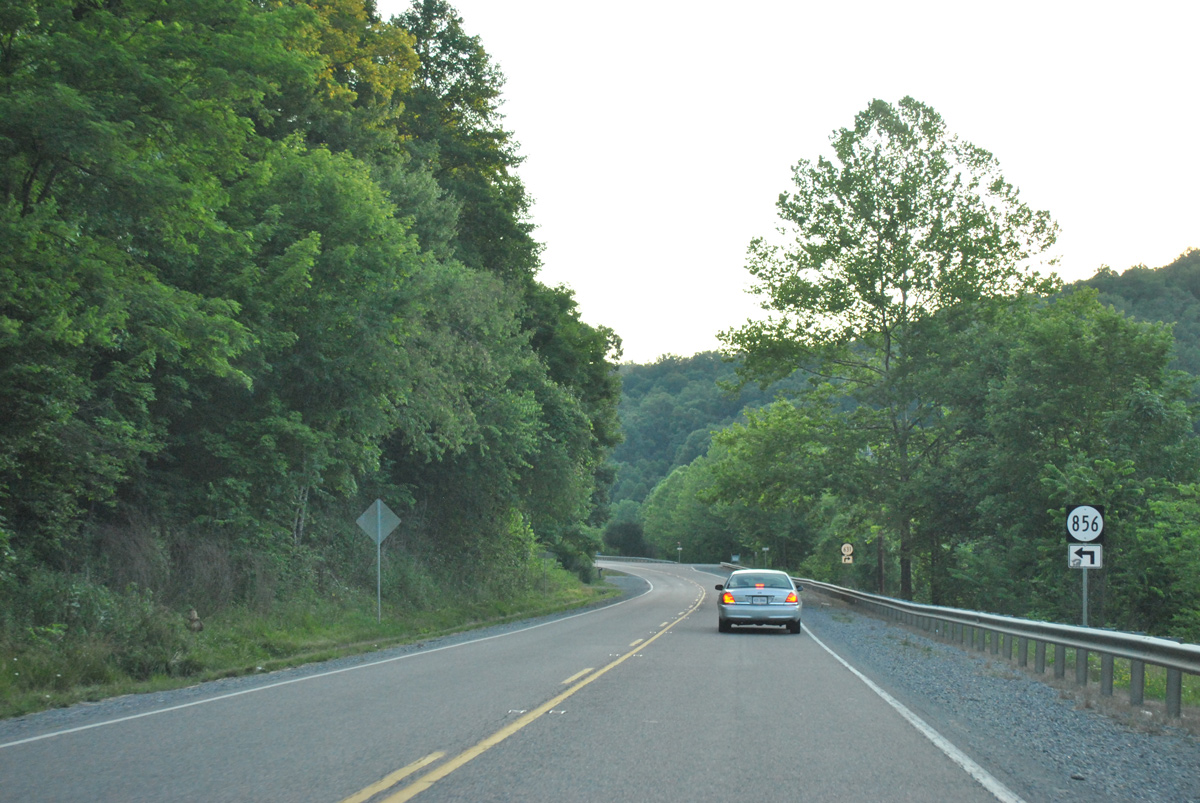
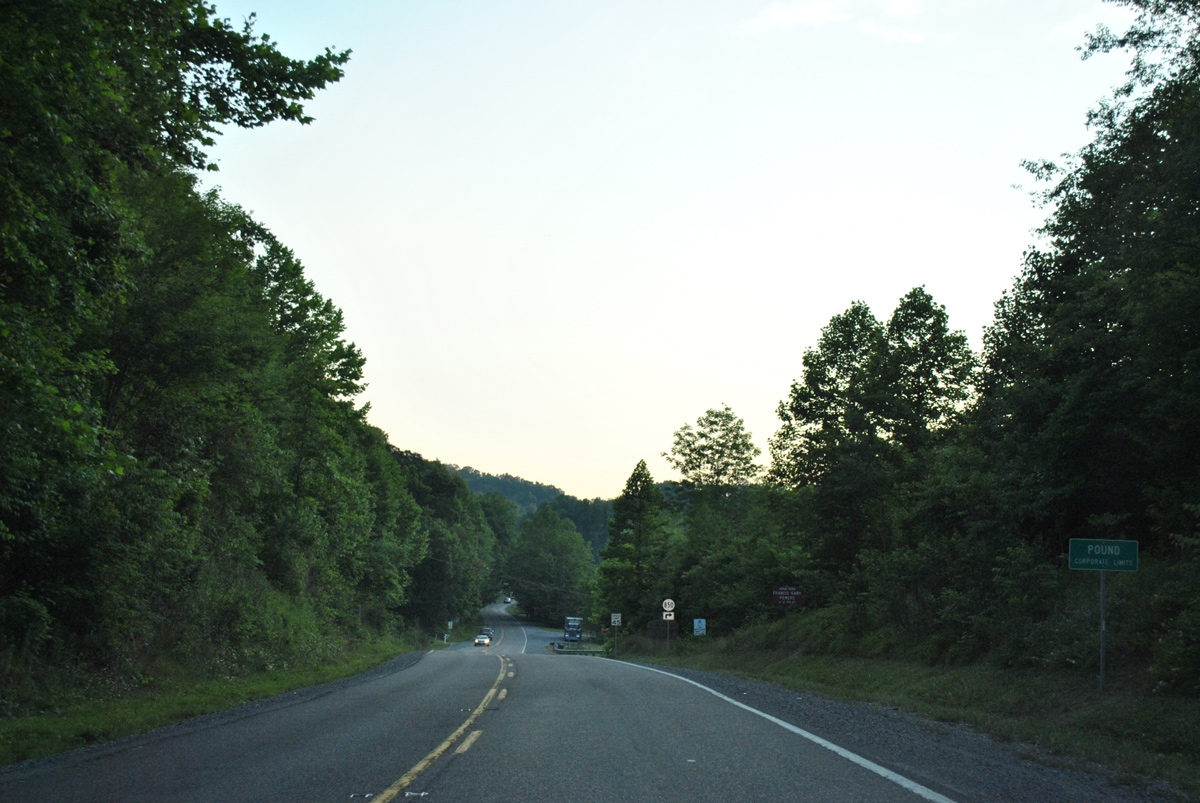
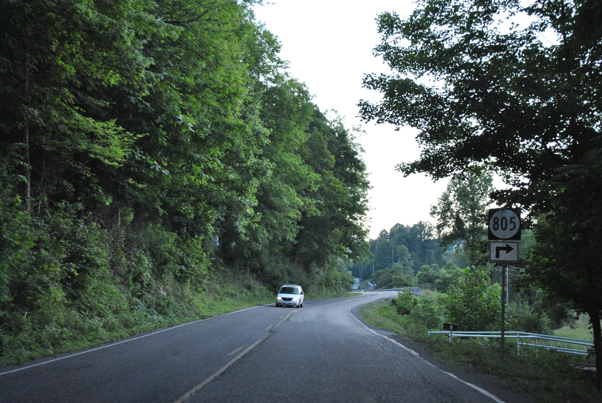
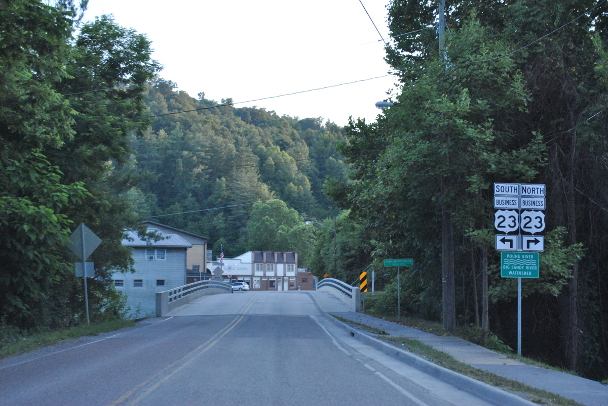
Virginia Route 83 traverses the Appalachian Mountains 41.96 miles east from U.S. 23 Business in the town of Pound to U.S. 460 at Vansant. Part of The Crooked Road, Virginia's Historic Music Trail, SR 83 follows Clintwood Highway east from Main Street in Pound to the town of Clintwood in Dickenson County. Heading south to Bearpen Gap, SR 83 passes between Hill Ridge and Reedy Ridge to SR 63 at Fremont.
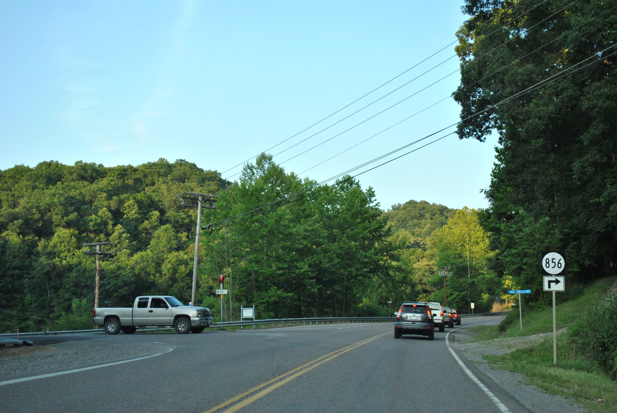
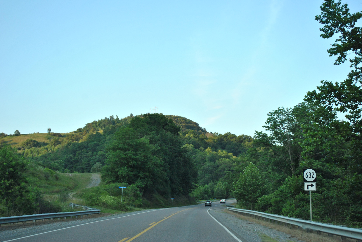
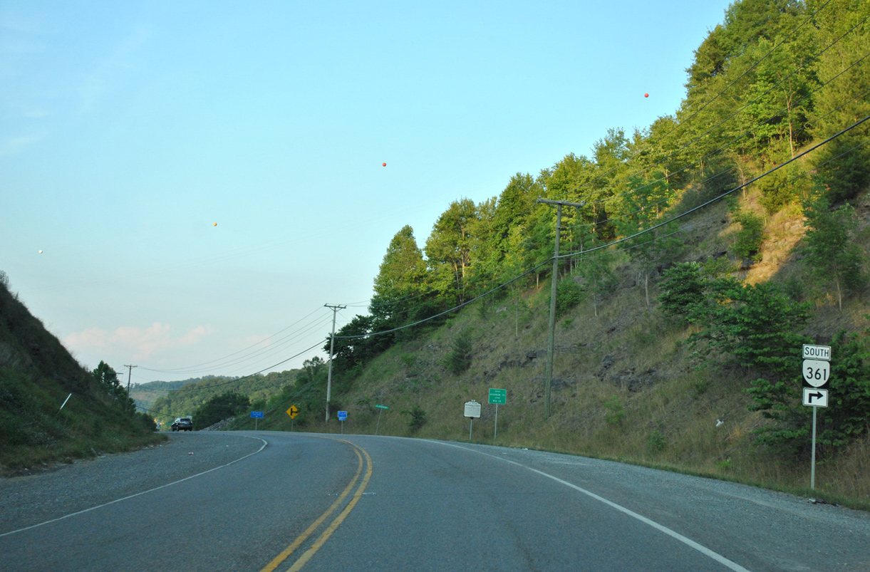
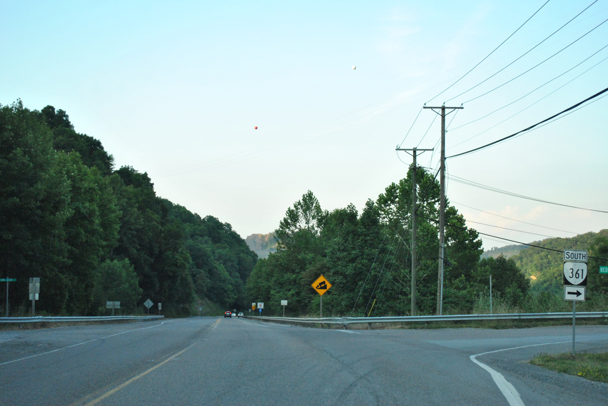
SR 63 overlaps with SR 83 (Cumberland Scenic Highway) 4.94 miles north along the Mc Clure River and Big Ridge to Clinchco. The two meet again in the town of Haysi, where MSR 80 joins SR 83 for 1.43 miles along Sandlick Drive and Main Street. East from Hayti, SR 83 heads to Prater and through Lovers Gap to U.S. 460, south of the Buchanan County seat of Grundy.
06/24/12
06/24/12
06/24/12
06/24/12
06/24/12
06/24/12
06/24/12
06/24/12
06/24/12
06/24/12
06/24/12
06/24/12
06/24/12
06/24/12
06/24/12
Photo Credits:
- ABRoads: 06/24/12
Connect with:

Page Updated Friday April 23, 2021.