
State Trunk Highway 29 East - Bellevue to Kewaunee

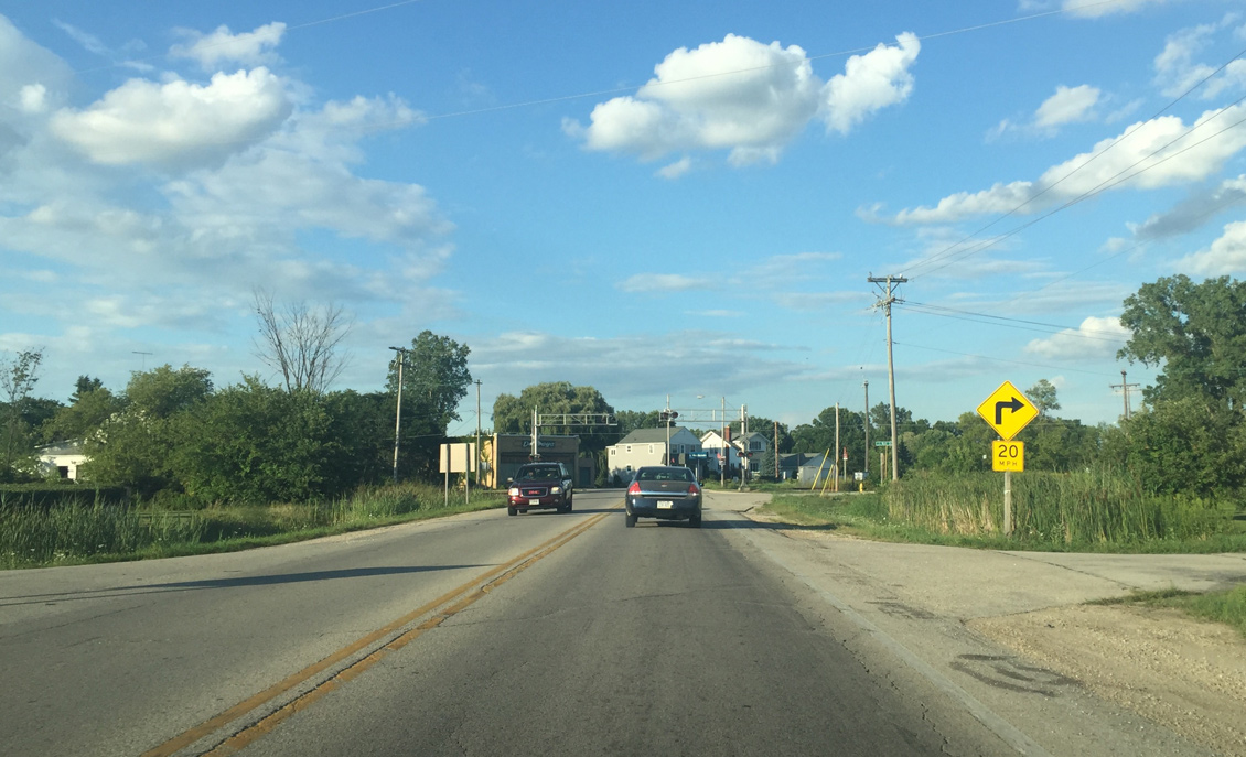
A sharp curve follows the at-grade CN Railroad crossing after Wis 29 departs U.S. 141.
08/14/16
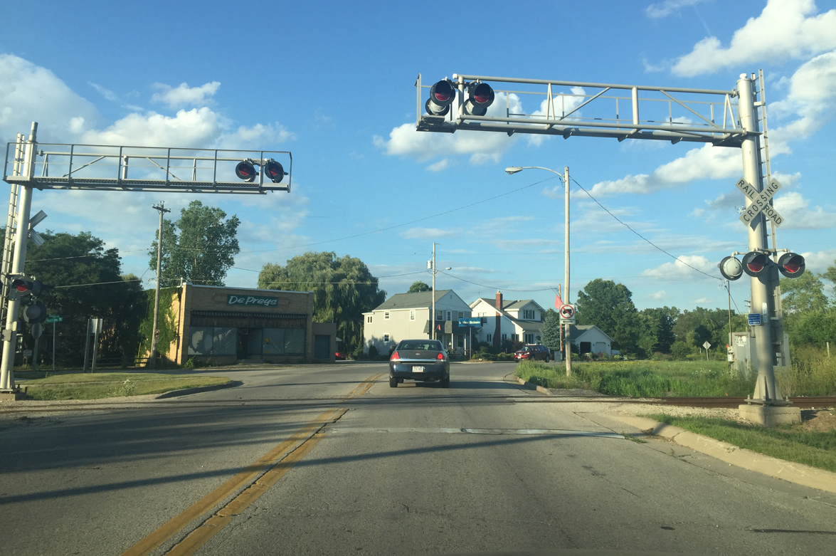
Wis 29 (Kewaunee Road) crosses the CN Railroad in the original section of Bellevue.
08/14/16

The first confirming marker for Wis 29 east of U.S. 141 stands at Huron Road.
08/14/16
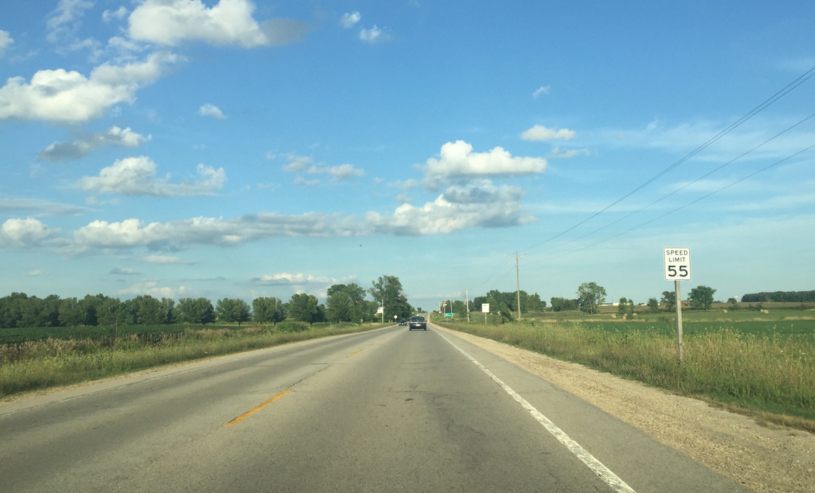
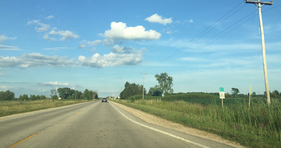
Wis 29 becomes rural as the speed limit increases.
08/14/16
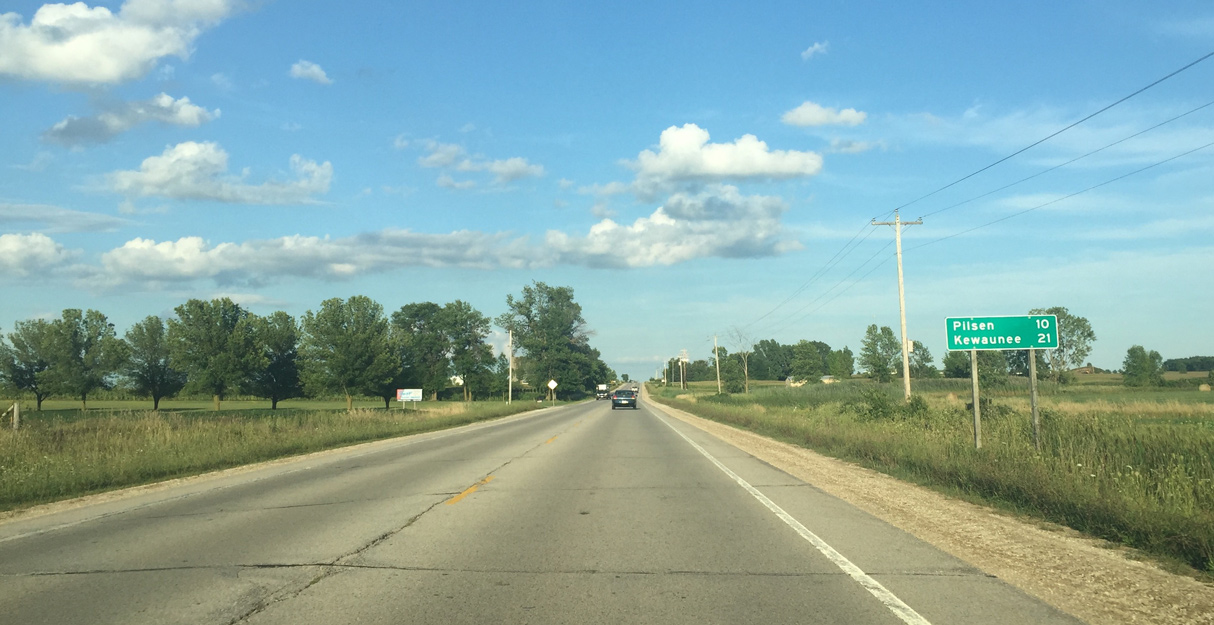
Pilsen in Kewaunee County, lies ten miles east of Bellevue.
08/14/16
Entering the Town of Eaton
08/14/16
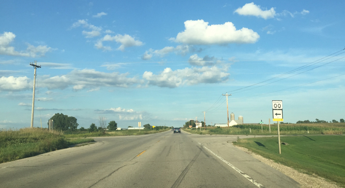
County QQ is a short highway that connects Wis 29 with County V and County N.
08/14/16
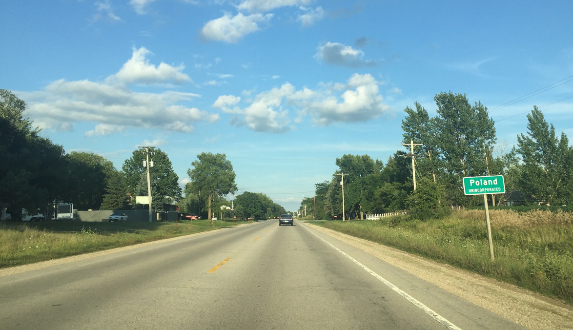
Entering Poland
08/14/16
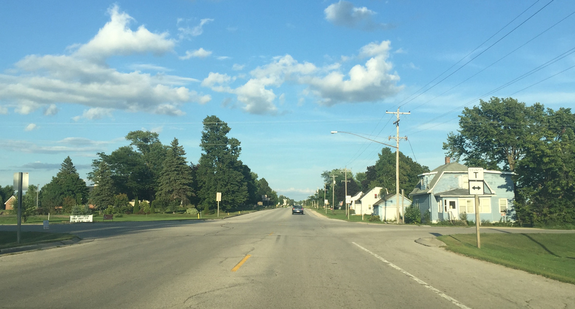
CTH T crosses Wis 29 (Kewaunee Road) south of Humboldt at Poland.
08/14/16
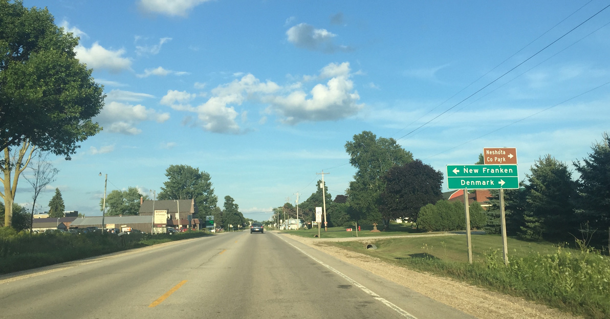
County T travels north to New Franken and south to Denmark, Maribel and Kellnersville to an eventual end at U.S. 10 in Manitowoc County.
08/14/16
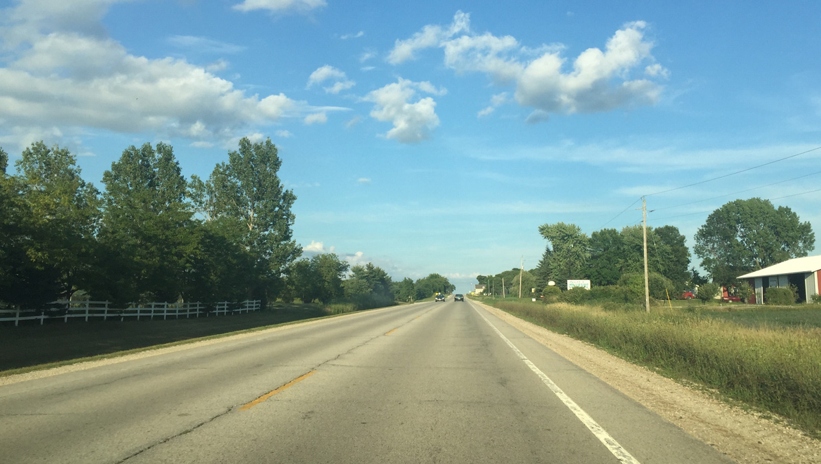
Leaving Poland, Wis 29 resumes across agricultural areas.
08/14/16

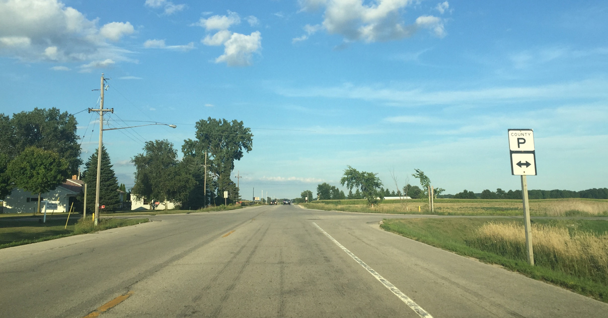
Mainly a rural roadway, County P ends at a diamond interchange with Wis 57 near Dykesville to the north and at County R to the south.
08/14/16
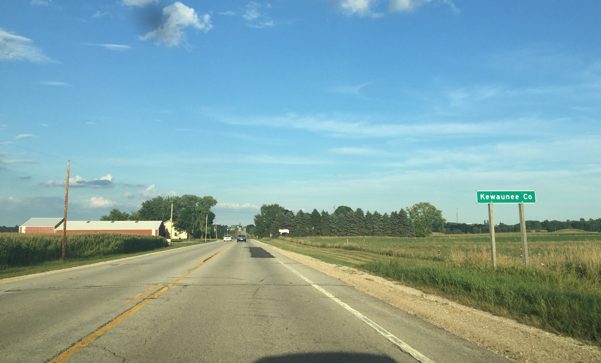
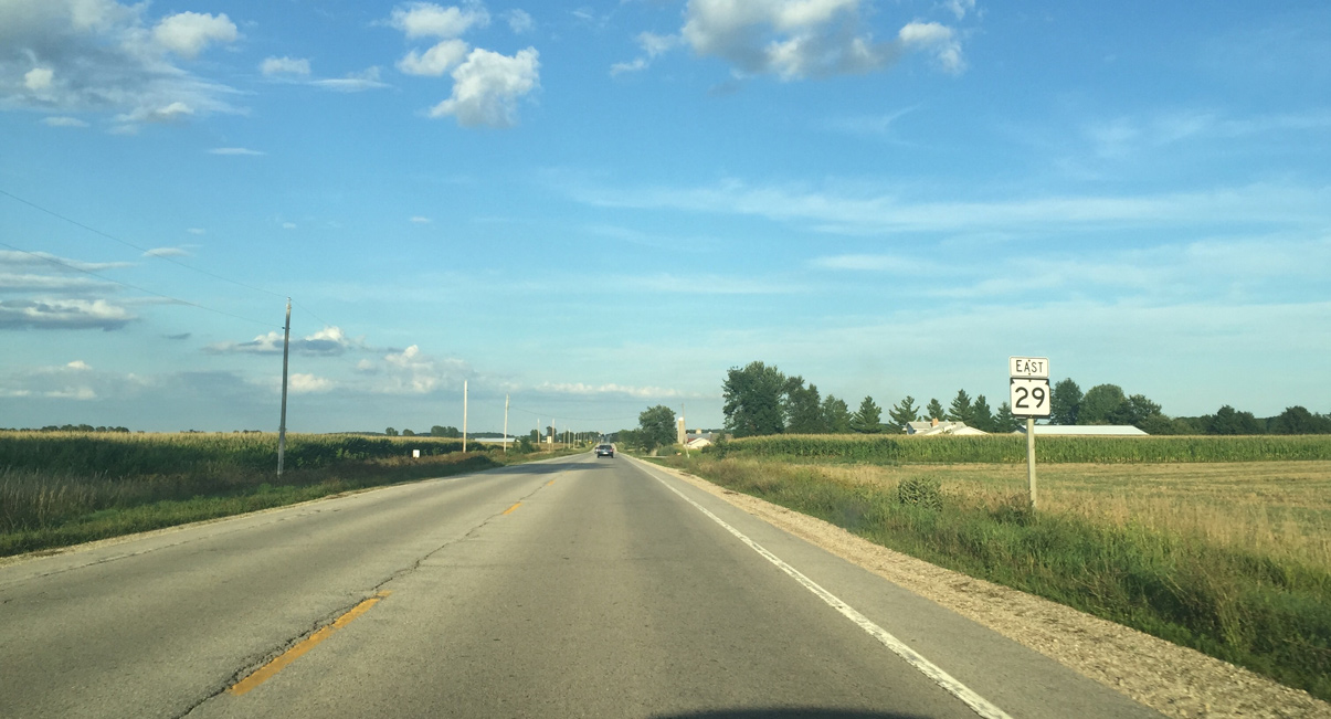
STH 29 crosses into Kewaunee County one mile east of CTH P at Henrysville.
08/14/16
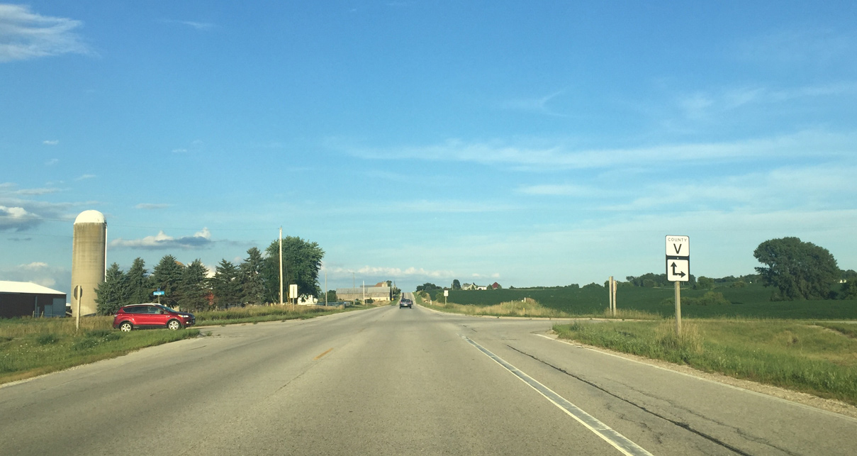
County V ties into Wis 29 one mile east of the Brown County line. County V heads south to County KB at Curran.
08/14/16
An implied concurrency takes County V east alongside Wis 29 one mile to Pilson. Typically county roads are not cosigned with state trunk highways.
08/14/16
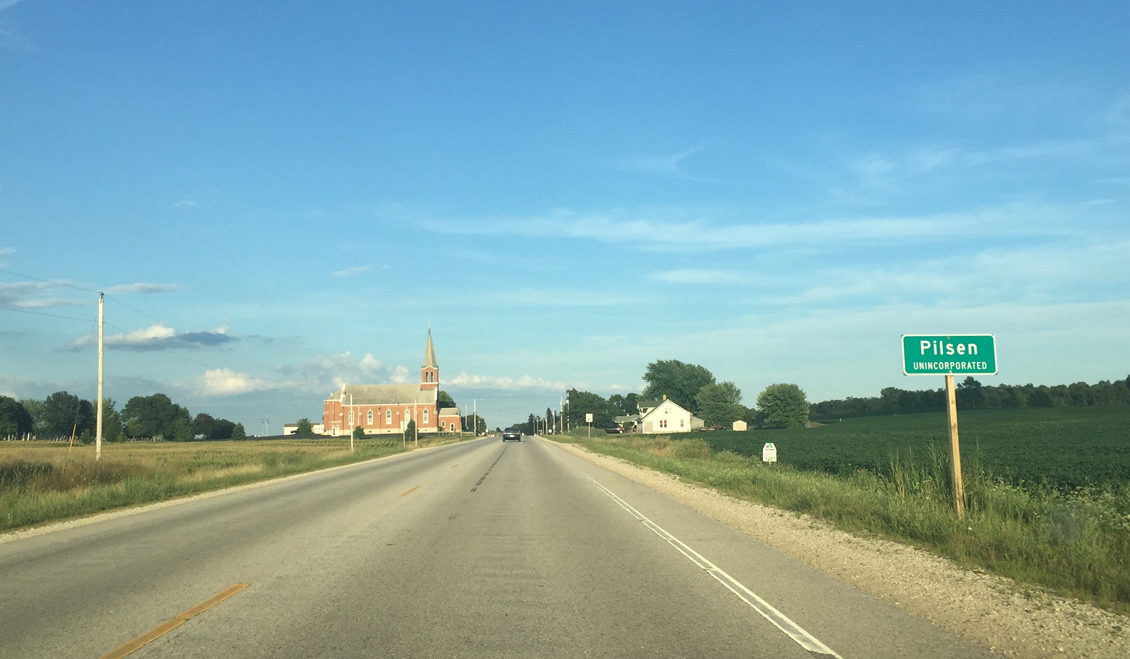
Entering Pilsen
08/14/16
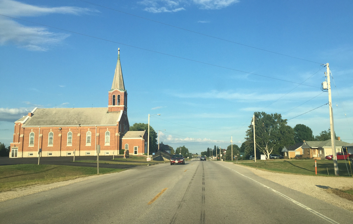
Large churches are common in rural Wisconsin.
08/14/16
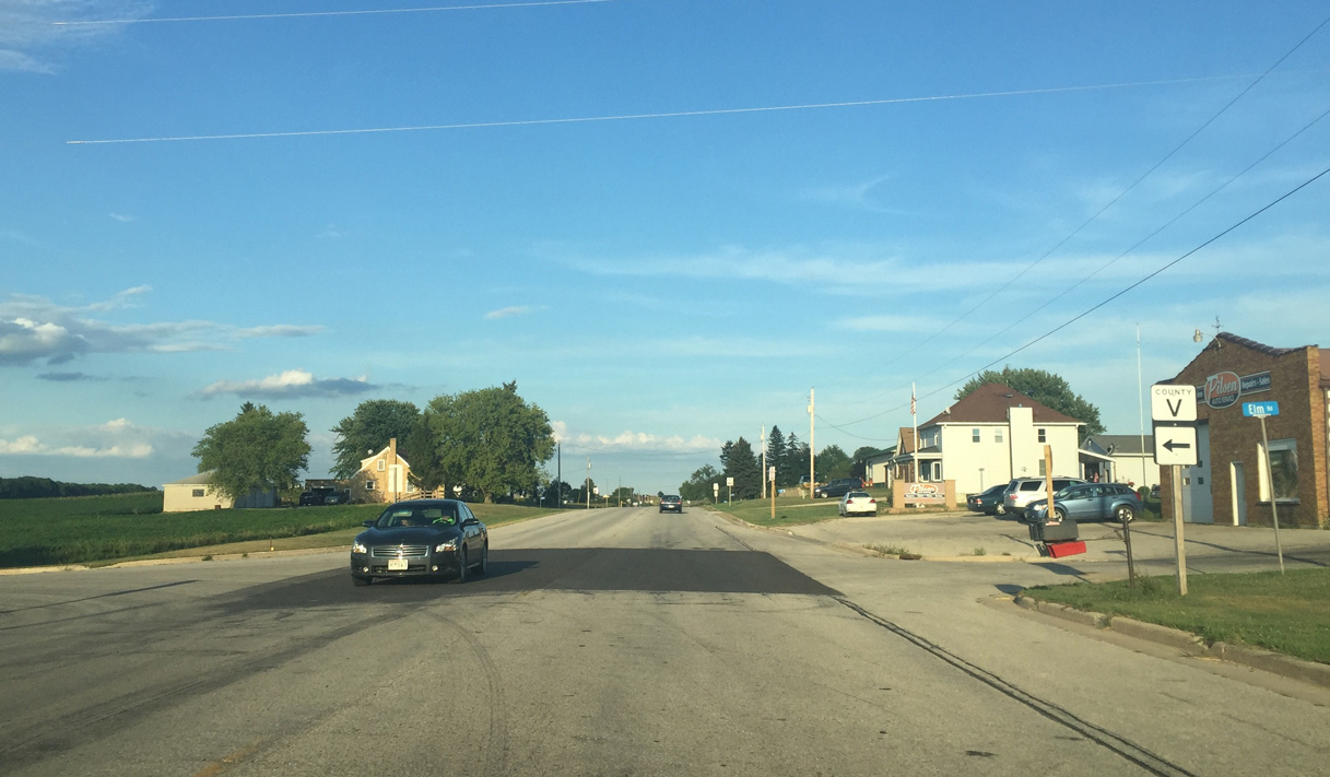
County V branches four miles north to County N at Neuern from Wis 29 at Elm Road in Pilsen.
08/14/16
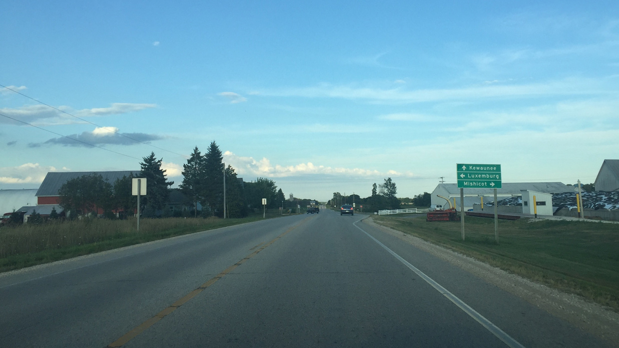
County AB goes to Luxemburg and Mishicot. It was Wis 163 until 1998.
08/14/16

The pork chops are evidence that County AB was a state trunk highway with the upgraded intersection design.
08/14/16
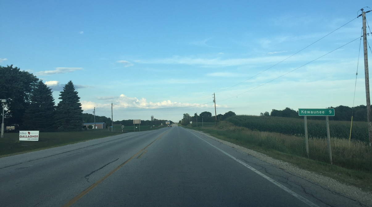
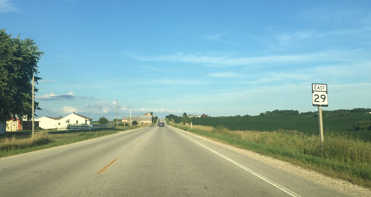
Nine miles of STH 29 to Kewaunee remain east of CTH AB.
08/14/16
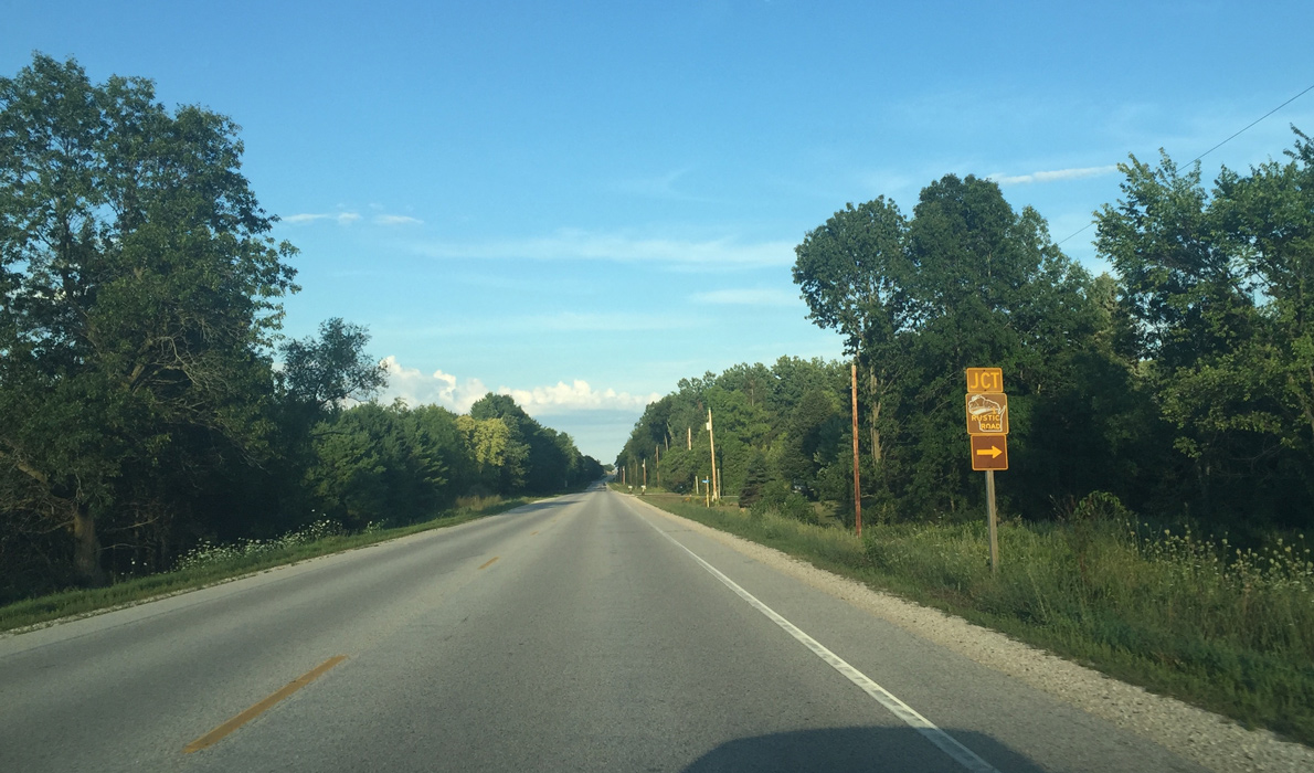
Wis 29 east at Hrabik Road. Rustic roads provide scenic routes throughout the state on mainly town roads.
08/14/16
Wis 29 east at Krok Creek.
08/14/16
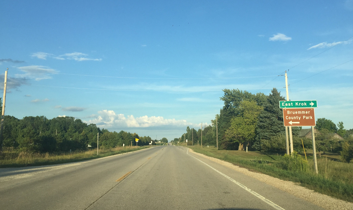
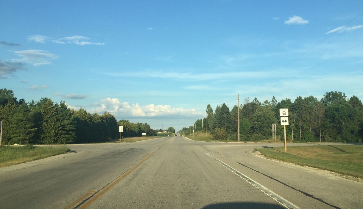
CTH B intersects STH 29 one mile north of East Krok and a mile south of CTH F east to Bruemmer Park.
08/14/16
County B extends south to Tisch Mills along the Manitowoc County line and north to County C.
08/14/16
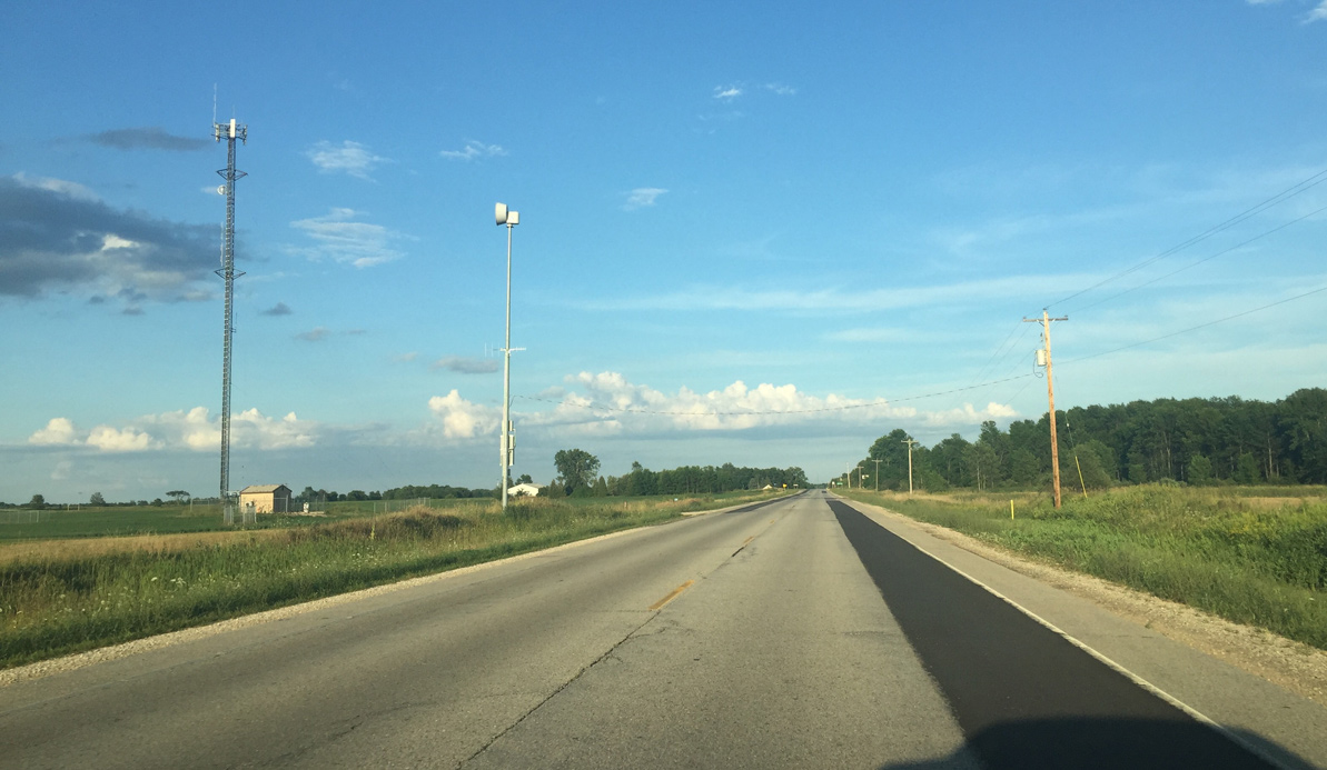
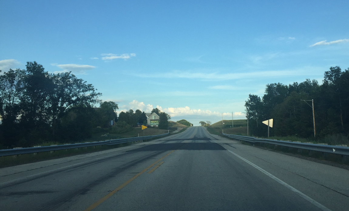
Weather siren along Wis 29 east of Townhall Road.
08/14/16
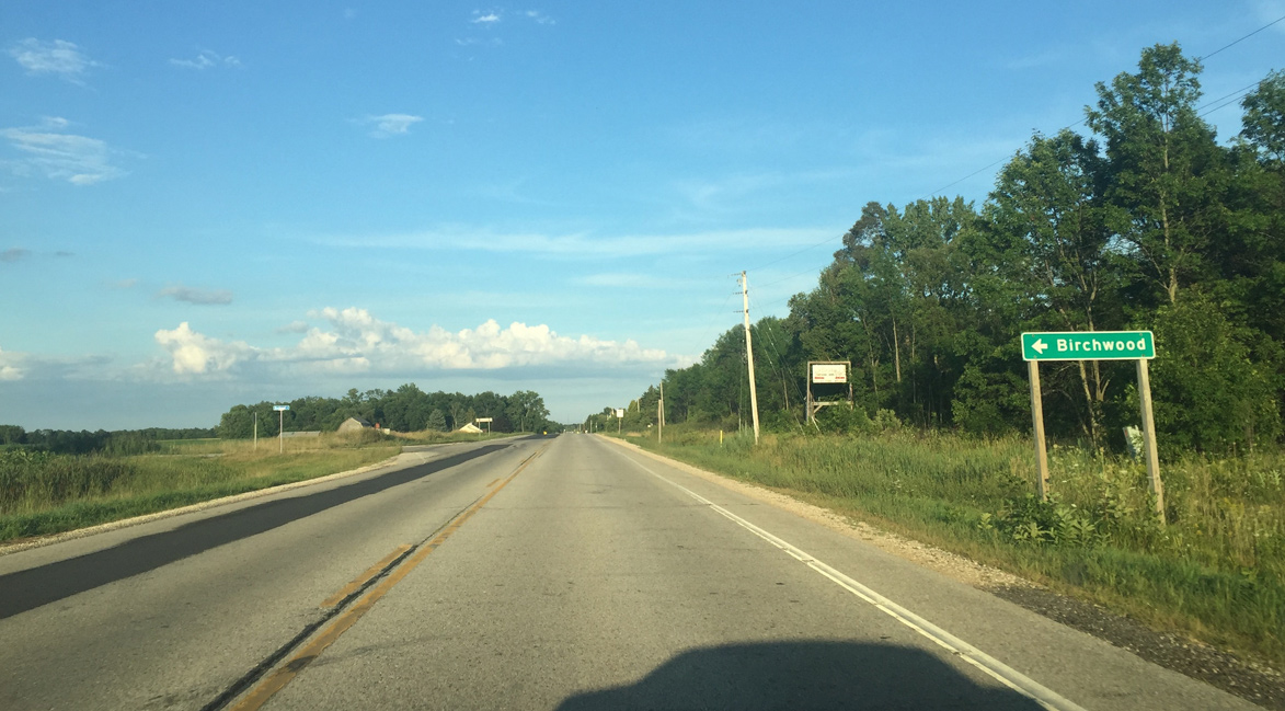
Birchwood Road leads north from Wis 29 to the small community of Birchwood.
08/14/16
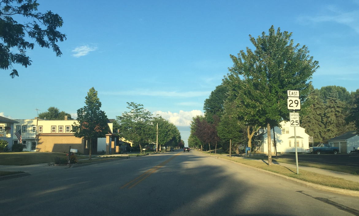
Wis 29 turns northeast toward Kewaunee at Angle Road.
08/14/16
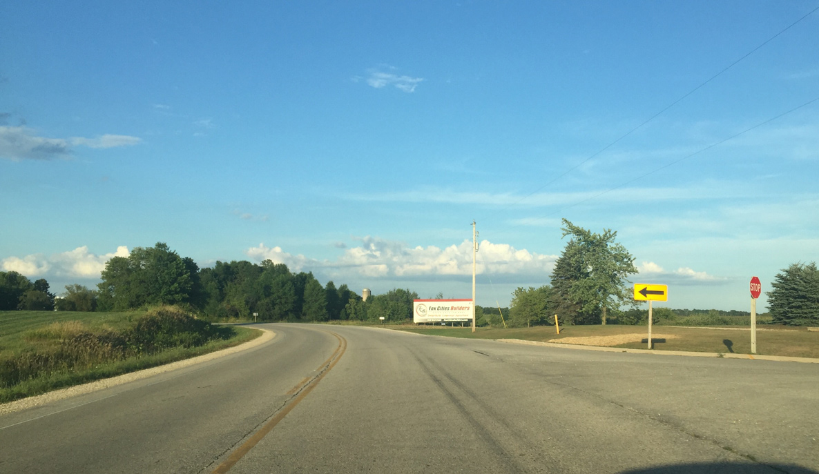
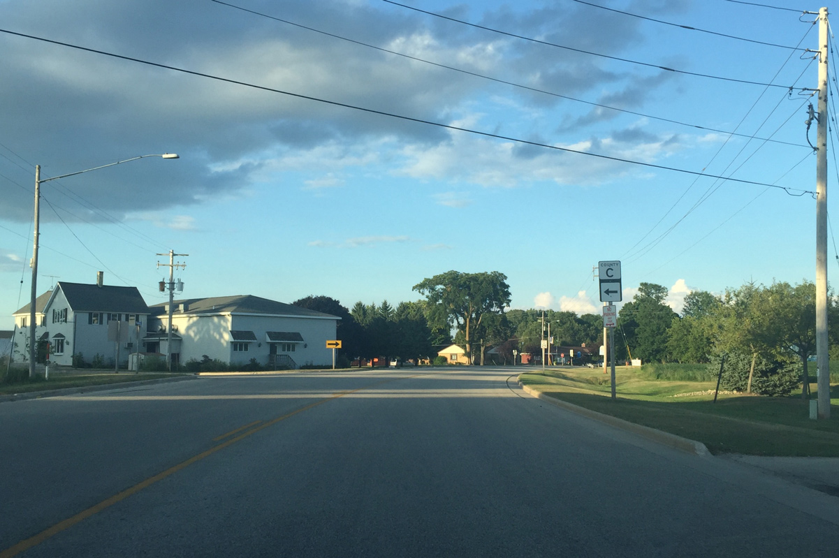
The south branch of County C provides a cut off from Wis 29 east to Wis 42 south.
08/14/16
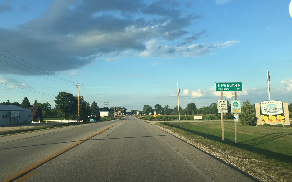
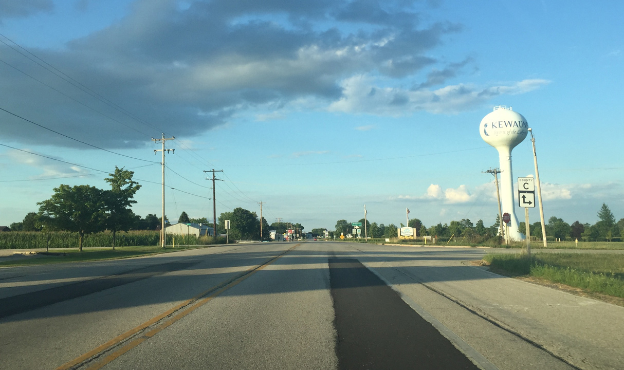
Entering the city of Kewaunee
08/14/16
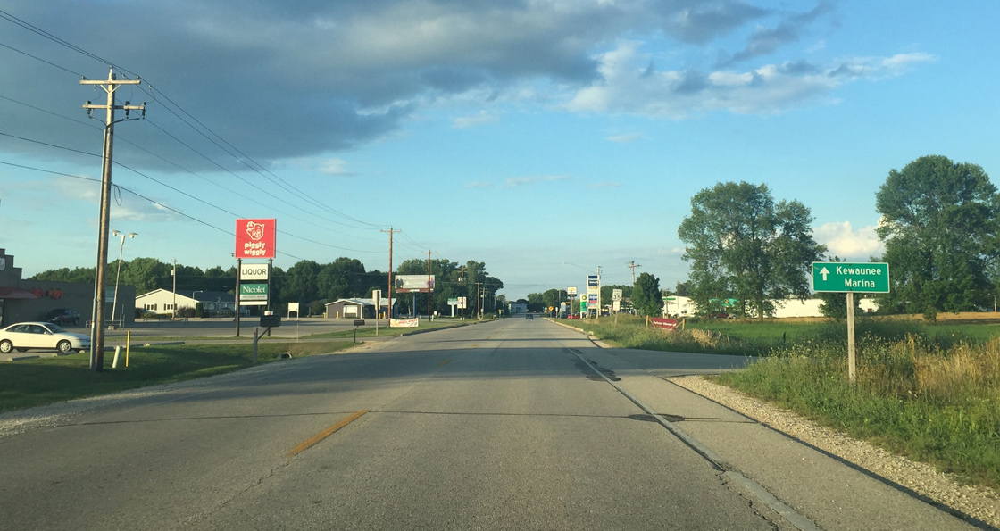
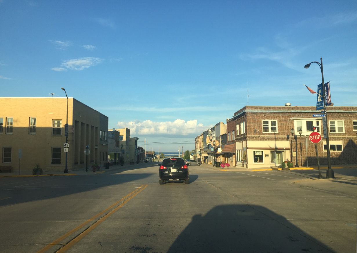
Wis 29 east to Wis 42 leads boaters to the Kewaunee Marina.
08/14/16
Wis 29 overtakes Ellis Street from the north branch of County C in Kewaunee. County C heads northwest to Wis 54 at Casco.
08/14/16
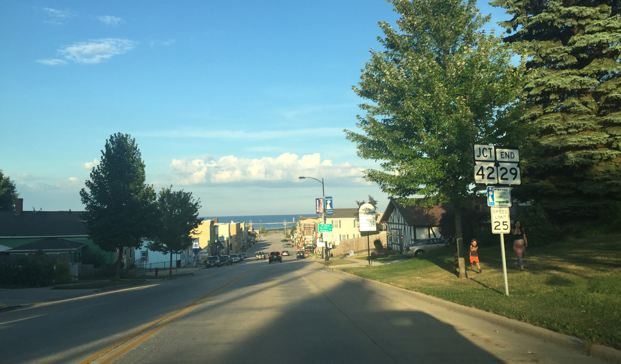
The final confirming marker for Wis 29 stands east of County C along Ellis Street.
08/14/16
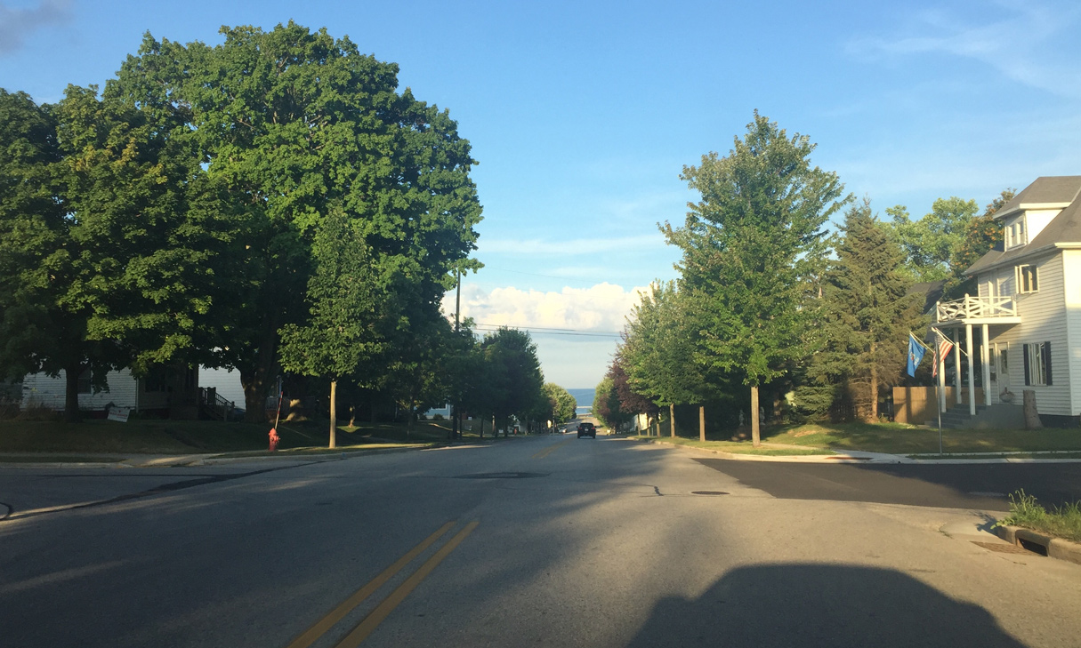
Lake Michigan becomes visible as the Wis 29 (Ellis Street) descends at 1st Street.
08/14/16
Wis 29 drops 100 feet in elevation from CTH C to the east end at Wis 42 (Milwaukee Street).
08/14/16
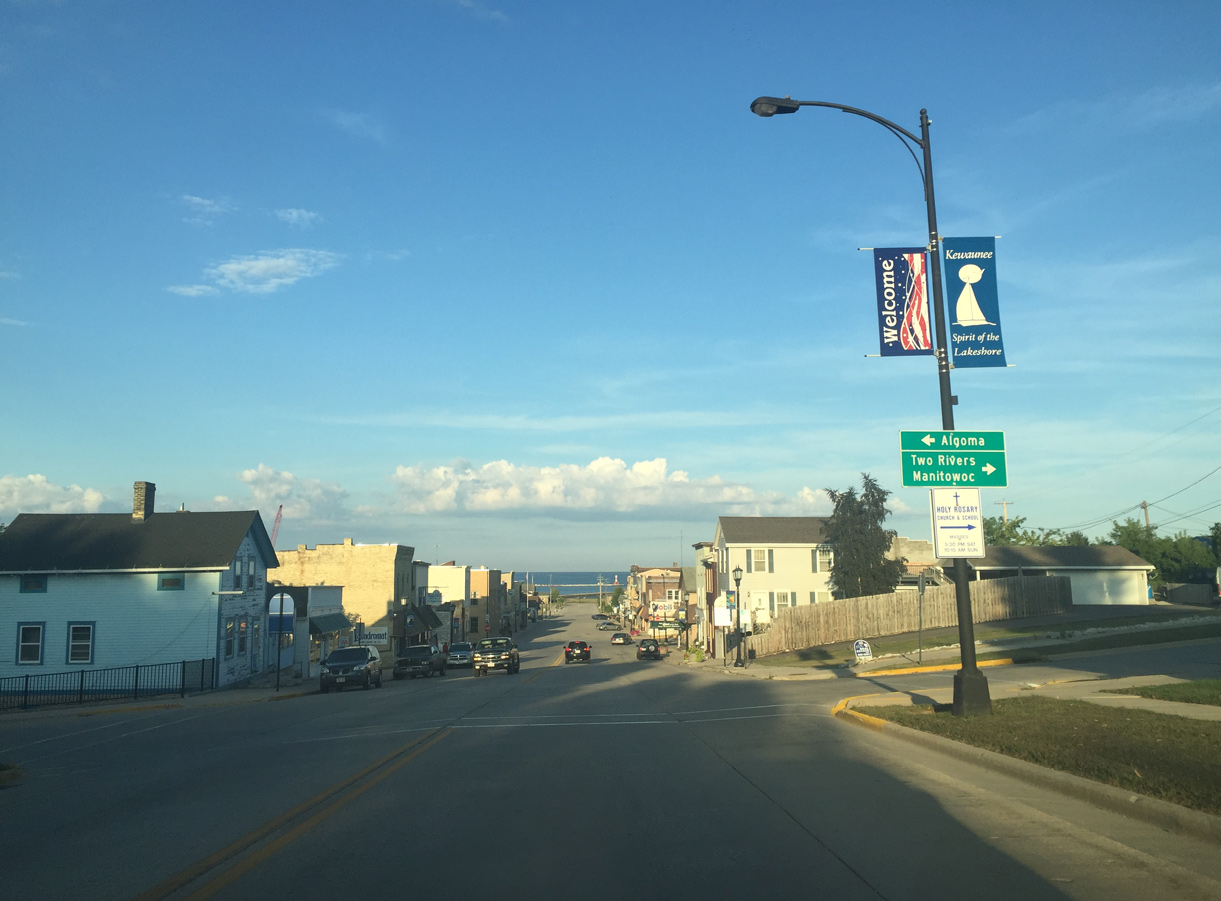
State Trunk Highway 42 runs along the western shoreline of Lake Michigan, connecting Kewaunee with Algoma and Sturgeon Bay to the north and Two Rivers and Manitowoc to the south.
08/14/16
Ellis Street extends two blocks east from the end of Wis 29 at Wis 42 to Kewaunee Lighthouse and the mouth of the Kewaunee River.
08/14/16
Photo Credits:
- Peter Johnson: 08/14/16
Connect with:
Page Updated Wednesday October 30, 2019.