
State Trunk Highway 29 West - Marathon County

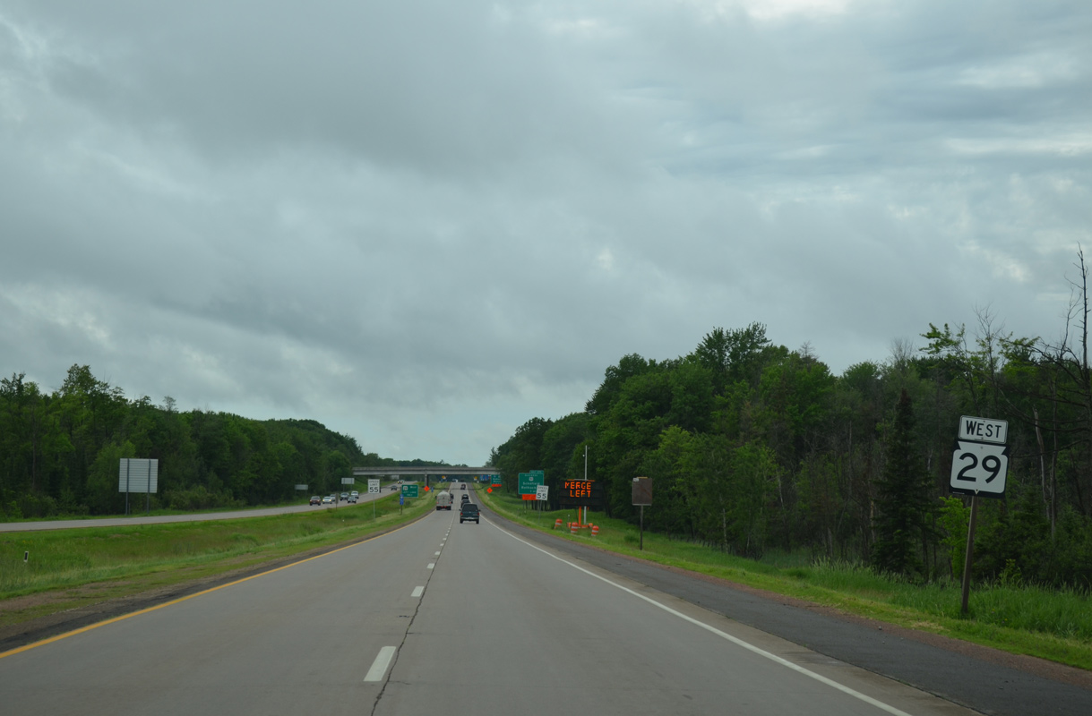
Wis 29 straddles the Weston and Rothschild village line west toward the Wisconsin River and Exit 171.
06/15/15
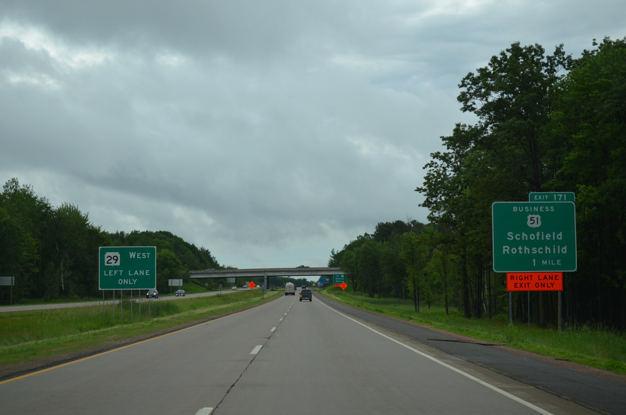
U.S. 51 Business (Grand Avenue) links the Wis 29 freeway with the Rothschild village center to the south and Schofield village center to the north via a folded diamond interchange (Exit 171) in one mile.
06/15/15

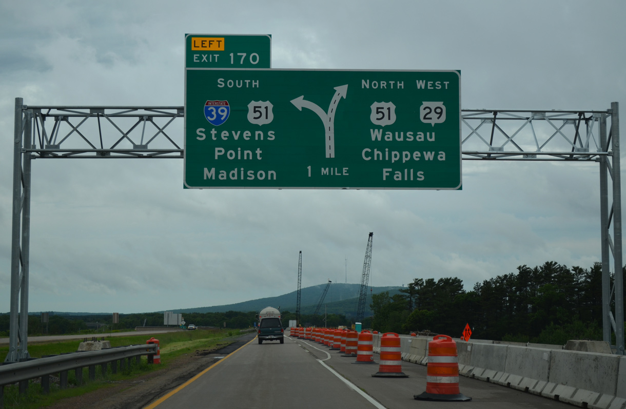
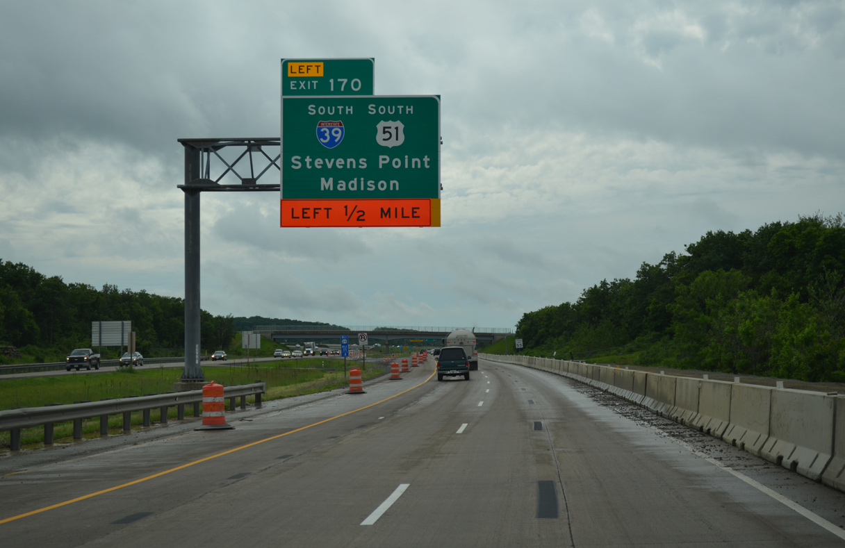
Beyond Exit 171, Wis 29 spans the Wisconsin River directly into a directional T interchange (Exit 170) with Interstate 39 south and U.S. 51.
06/15/15
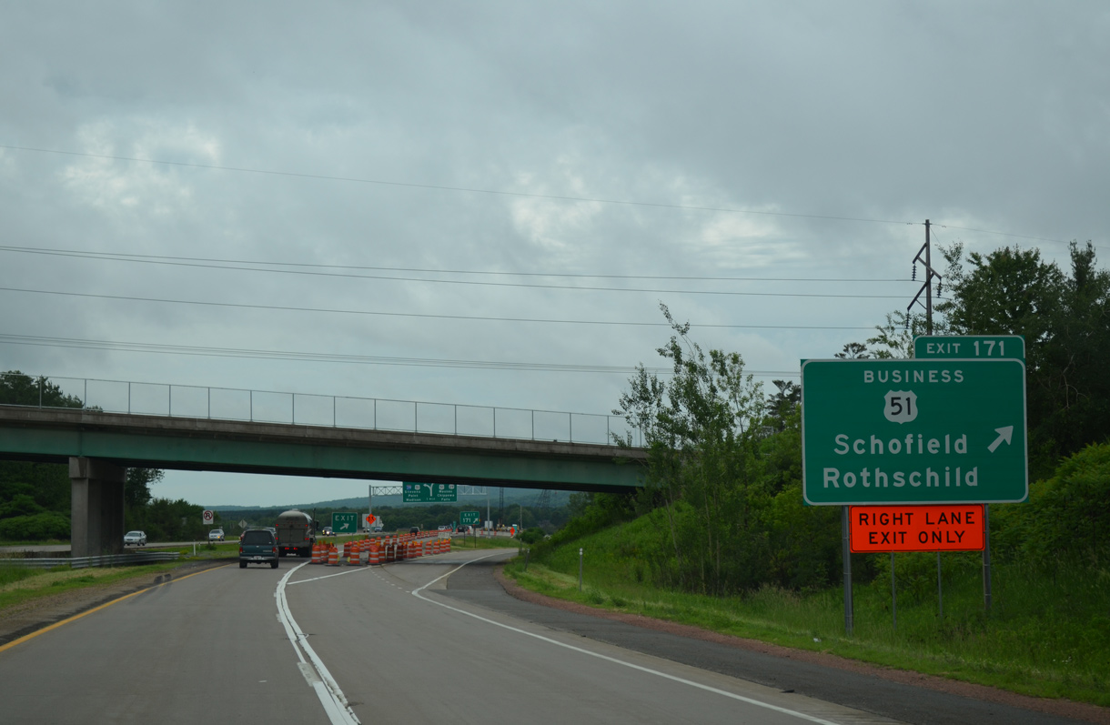
Exit 171 parts ways with STH-29 west for U.S. 51 Business (Grand Avenue). U.S. 51 Business comprises a state trunk highway south to I-39/U.S. 51 at Exit 185 and north to Downtown Wausau and U.S. 51 at Exit 194.
06/15/15
Advancing west across Lake Wausau of the Wisconsin River, STH-29 separates in one mile with a high speed flyover joining the southbound beginning of Interstate 39. I-39/U.S. 51 run concurrently south to Stevens Point, Plover and Portage.
06/15/15
The WIS 29 Sunrise Drive - Business 51 project from May 5, 2014 to May 2017 replaces the Wis 29 mainline pavement, bridge decks over both the Wisconsin River and U.S. 51 Business and raises the Sunrise Drive overpass to meet current vertical clearance requirements.
06/15/15
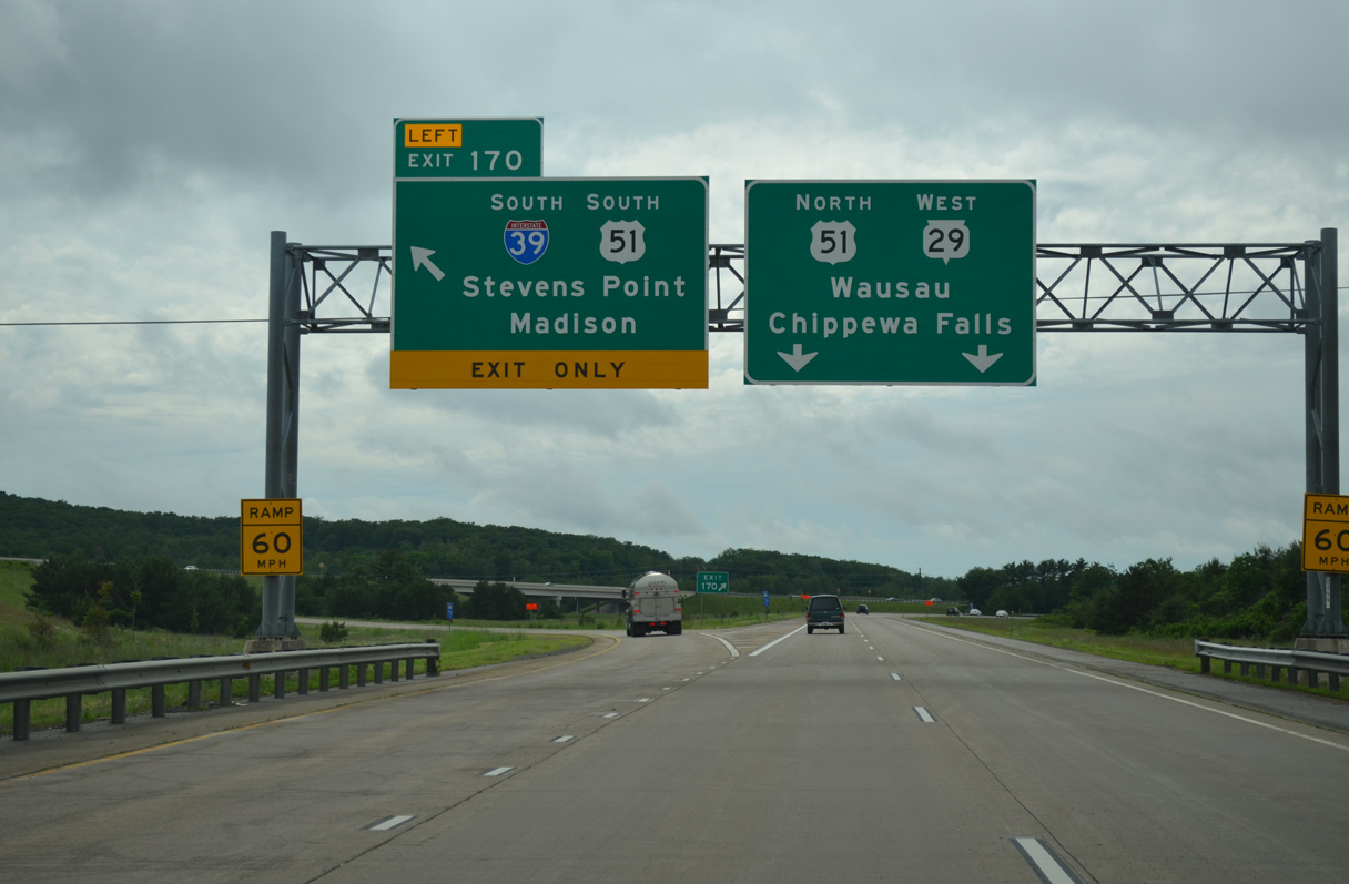
Wis 29 west turns north to overlap with U.S. 51 by Rib Mountain to Wausau. I-39 leads travelers south 140 miles to Madison.
Construction between 2004 and 2010 upgraded a trumpet interchange here and expanded the U.S. 51/Wis 29 freeway north to six lanes.
06/15/15
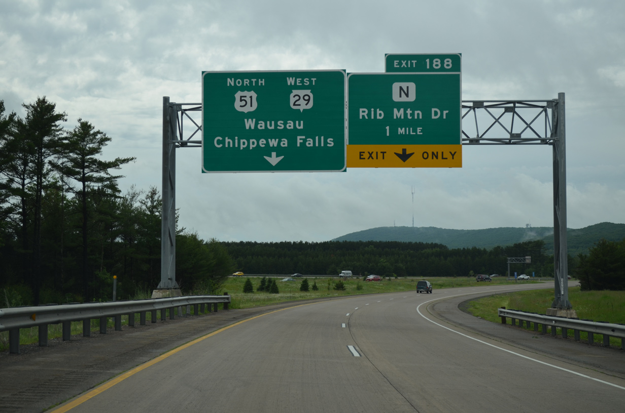
An auxiliary lane was added during the US 51/WIS 29 project northward to Exit 188 with County N (Rib Mountain Drive) to better separate weaving traffic.
06/15/15

U.S. 51/Wis 29 separate a residential street grid just to the west of Lake Wausau to the diamond interchange (Exit 188) with County N (Rib Mountain Drive). CTH-N heads south then west initially as an arterial (South Mountain Road) before transitioning into a rural two lane road west across Marathon County to Wien and Colby.
06/15/15
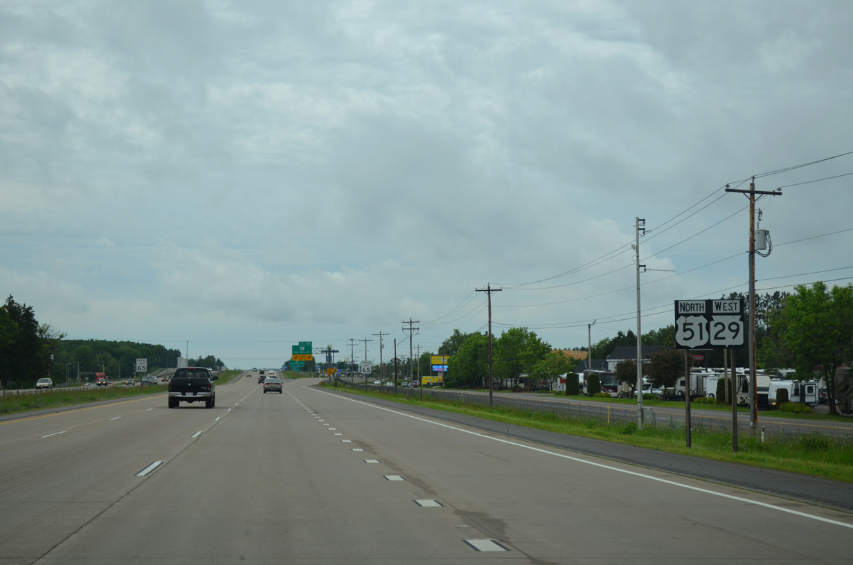
Lilac Avenue extends north from Lakeshore Drive as the frontage road to the freeway along U.S. 51/Wis 29 beside this shield assembly.
06/15/15
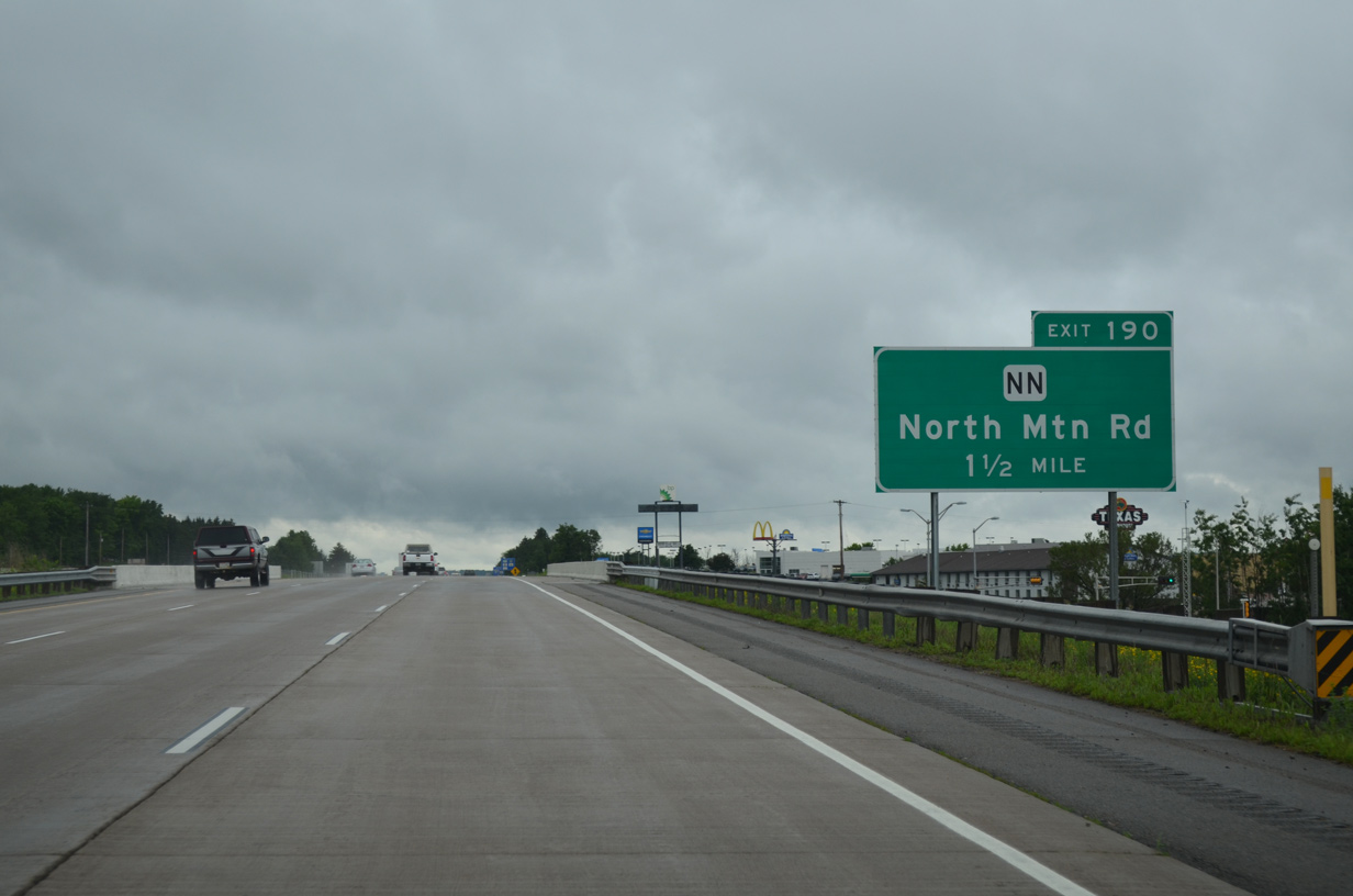
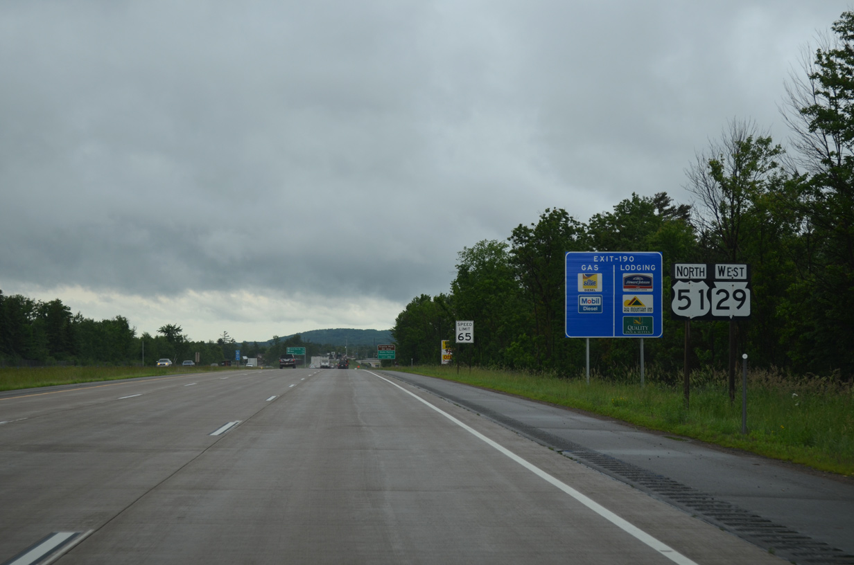
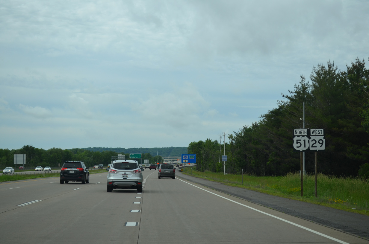
Advancing north, U.S. 51/Wis 29 next meet County NN (North Mountain Road) at Exit 190 in one mile.
06/15/15
Confirming shields for U.S. 51/Wis 29 posted west of the adjacent retail area on Rib Mountain Drive.
06/15/15
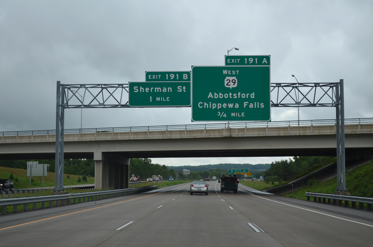
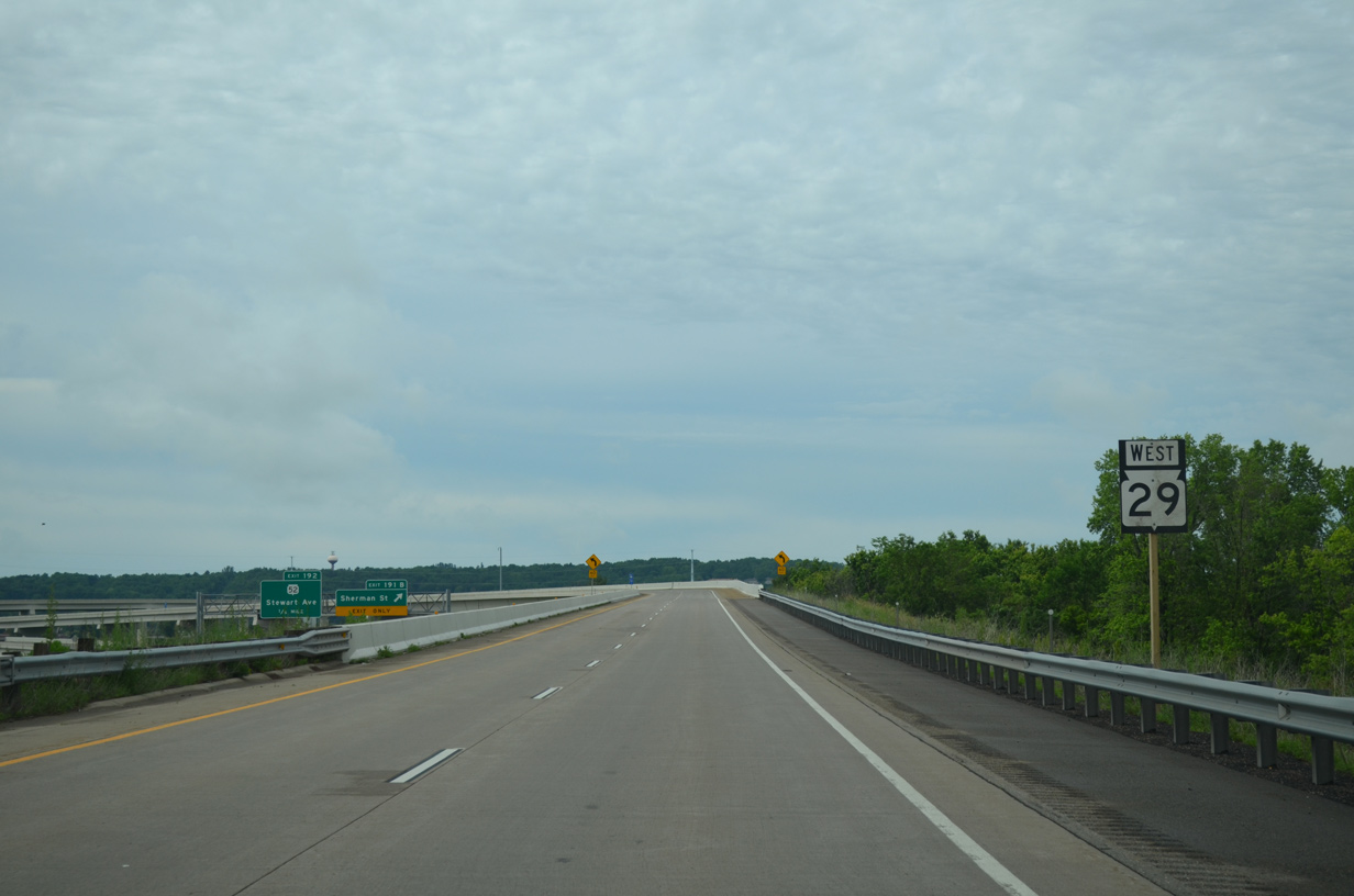
Wis 29 branches west from U.S. 51 north in 0.75 miles at a directional T interchange (Exit 191B). Completed in 2010, the US 51/WIS 29 project added the systems interchange at Exit 191A to replace the previous connection with Wis 29 west via the diamond interchange (Exit 192) with Stewart Avenue (Wis 52).
06/15/15
The final set of shields for the U.S. 51/STH-29 overlap. CTH-R remains just to the west along Hummingbird Road to 28th Avenue in Wausau.
06/15/15
A confirming shield for Wis 29 west stands along the flyover from U.S. 51 north. The ramp replaces a previous alignment for STH-29 to the northwest.
06/15/15
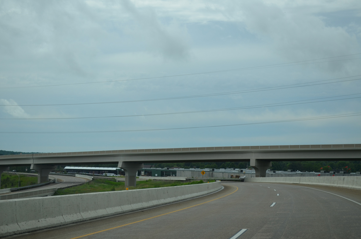
The high speed flyover from Wis 29 east to U.S. 51 north to Merrill was last the ramp to be completed during the US 51/WIS 29 project in 2010. Associated work extended Wis 52 west in place of the former Wis 29 as an at-grade roadway from U.S. 51 to a wye interchange with the new Wis 29 freeway after 28th Avenue.
06/15/15
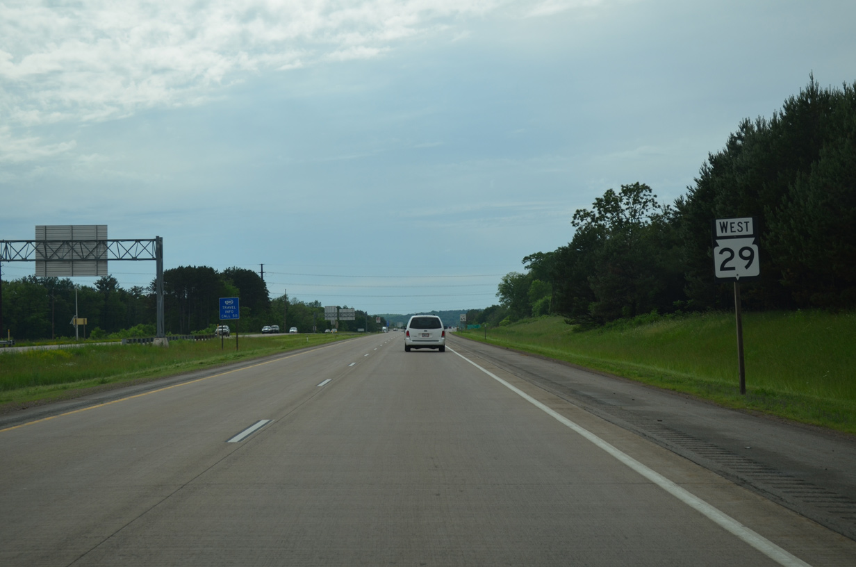
Wis 29 shield assembly posted after the west end merge of Wis 52. The freeway appears rural but remains within the city limits of Wausau for another 3.4 miles.
06/15/15
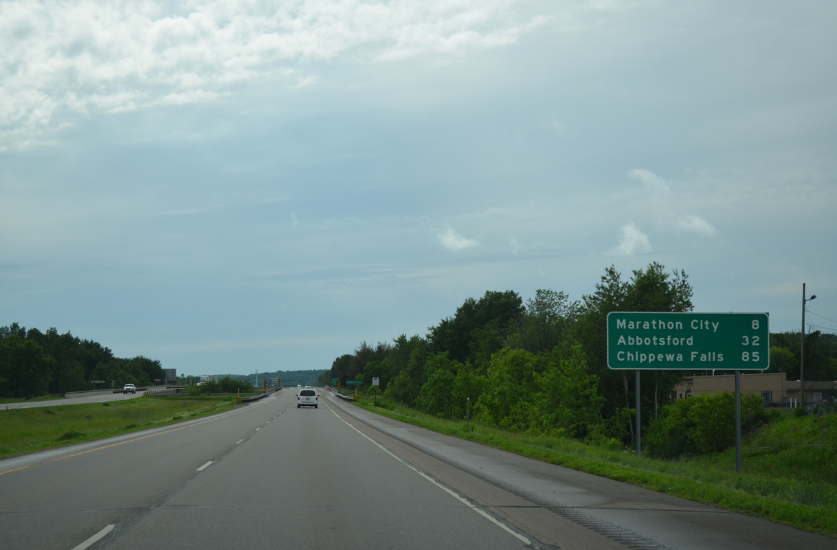
Beyond Wausau, Wis 29 travels north of the village of Marathon City (eight miles). Chippewa Falls, where STH-29 meets the U.S. 53 freeway south to Eau Claire and north toward Superior, lies 85 miles to the west.
06/15/15
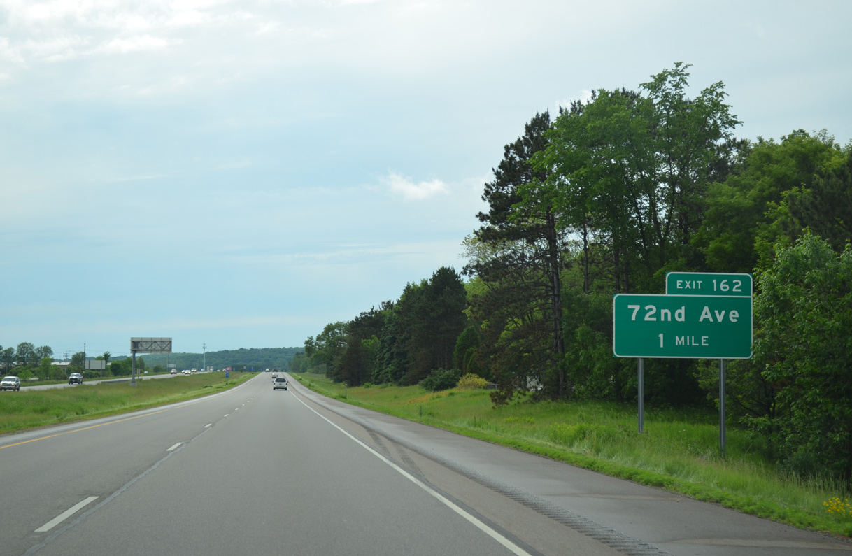
Exit 162 consists of a diamond interchange with 72nd Avenue amid a number of industrial parks and businesses including Linetec and Mid-Wisconsin Beverage, Inc.
06/15/15
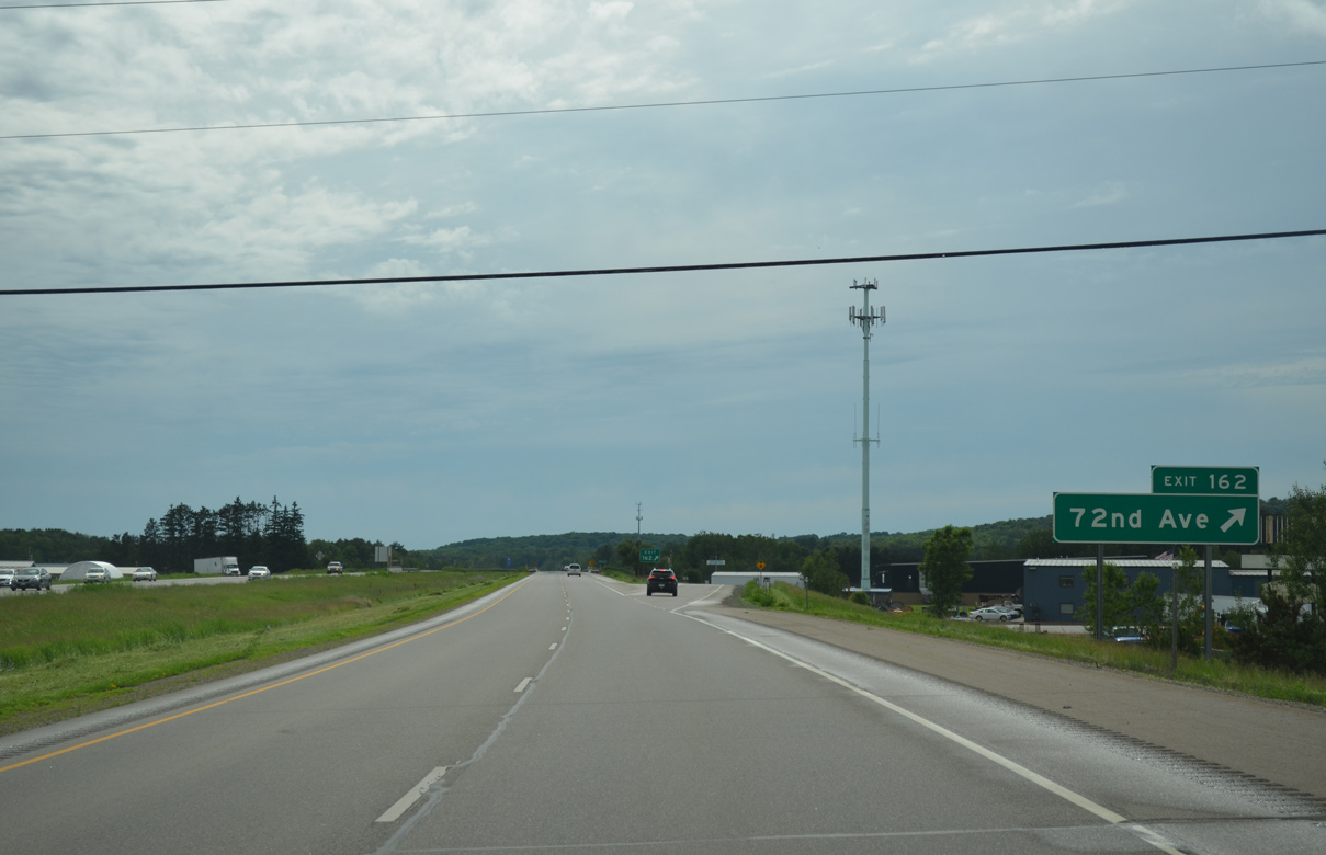
72nd Avenue ends just south of Exit 162 at Packer Drive and the entrance to Sunny Vale Park. The road north extends to additional industries including the Foot Locker Service Center at Stettin Drive.
06/15/15
Photo Credits:
- ABRoads: 06/15/15
Connect with:
Page Updated Friday April 29, 2016.