
State Trunk Highway 54
State Trunk Highway 54 traverses the width of Wisconsin between the Mississippi River, across from Winona, Minnesota, to Algoma on the shore of Lake Michigan. 243 miles in length, STH-54 mostly travels through rural areas. Through western reaches of the state, STH-54 joins the Jackson County seat of Black River Falls with Wisconsin Rapids in Wood County. Within Wisconsin Rapids, STH-54 joins STH-73 and STH-13 to encircle the city while expanding to four lanes.
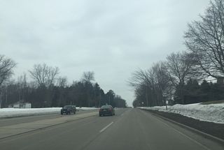
East from Wood County, STH-54 upgrades to an expressway through the city of Plover. There the state trunk highway turns southeast alongside U.S. 51 Business. Beyond the exchange with I-39, STH-54 leads directly to Green Bay, but along a slow moving route compared to the U.S. 10 expressway to Appleton and Interstate 41 north to Ashwaubenon.
Within Green Bay, STH-54 travels along Mason Street, which includes a mile long freeway segment just south of Downtown. The elevated roadway spans a busy railroad and includes a draw bridge across the Fox River. The movable span is high enough so that it opens only for large ships, while the other two Downtown bridges are lower with more frequent openings. Traffic along the adjacent Walnut and Doushman Street bridges is also slowed by the at-grade railroad crossings.
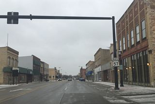
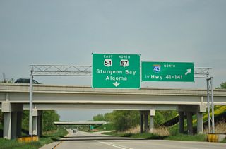
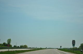
STH-54 combines with STH-57 along an L-shaped route along Monroe Avenue and University Avenue through the central business district. The two highways overlap east to Interstate 43, where they upgrade into a freeway by the University of Wisconsin-Green Bay. STH-57 follows an expressway northeast to Door County while STH-54 resumes an eastward heading along a rural route to Luxemburg and STH-42 at Algoma.
State Trunk Highway 54 Guides
Wis 54/57 East - Downtown Green Bay to I-43 - 44 photos
West - Green Bay to Outagamie County - 38 photos
Wis 54/57 East - I-43 to CTH-I - 36 photos
Wis 54/57 West - CTH-I to I-43 - 35 photos
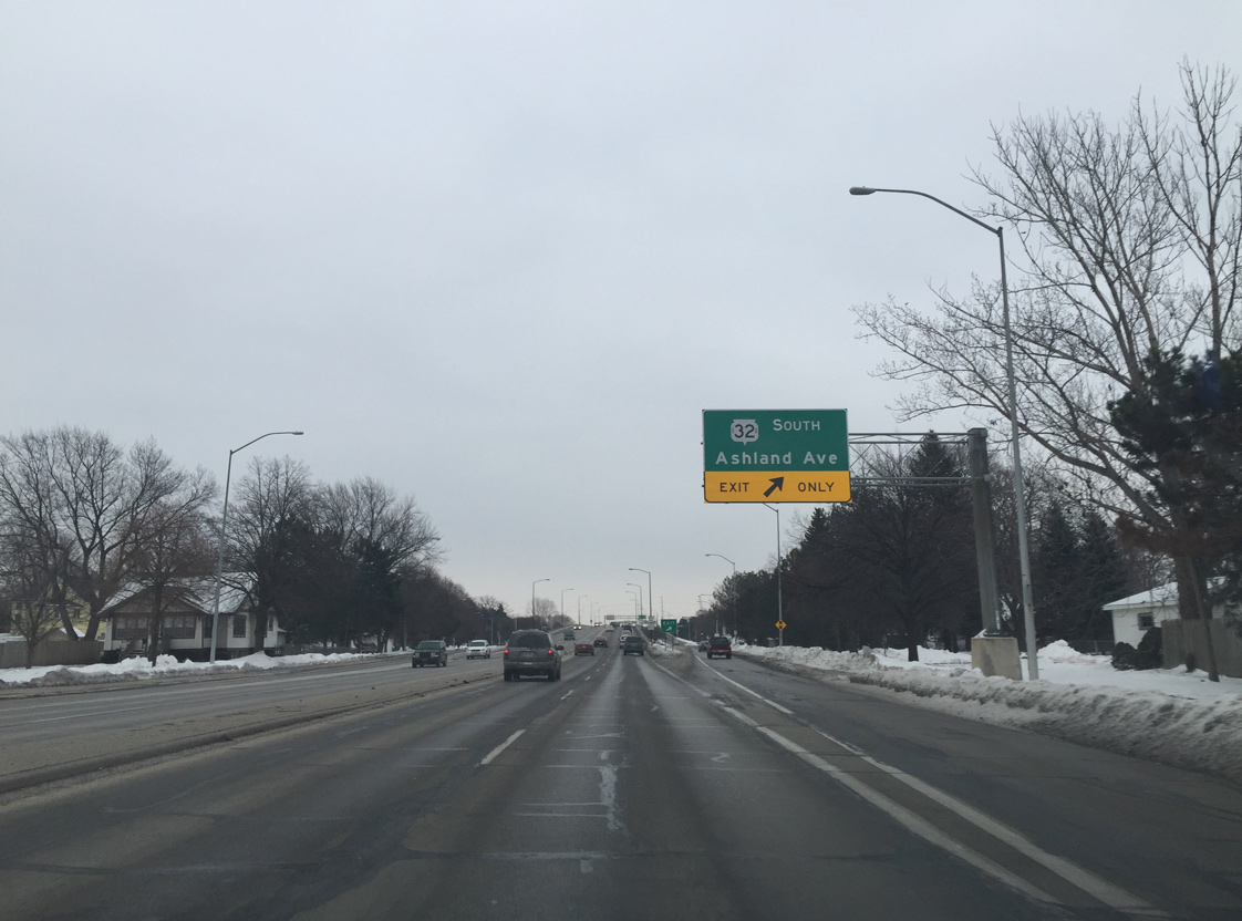
Mason Street transitions into a full freeway east of 10th Avenue as Wis 32 south splits from Wis 54 east at the diamond interchange with Ashland Avenue.
01/21/16
STH-54 (Mason Street) crosses the Fox River between Broadway and Adams Street. A wye interchange connects the east end of the bridge with Madison Street north and from Jefferson Street south.
01/21/16
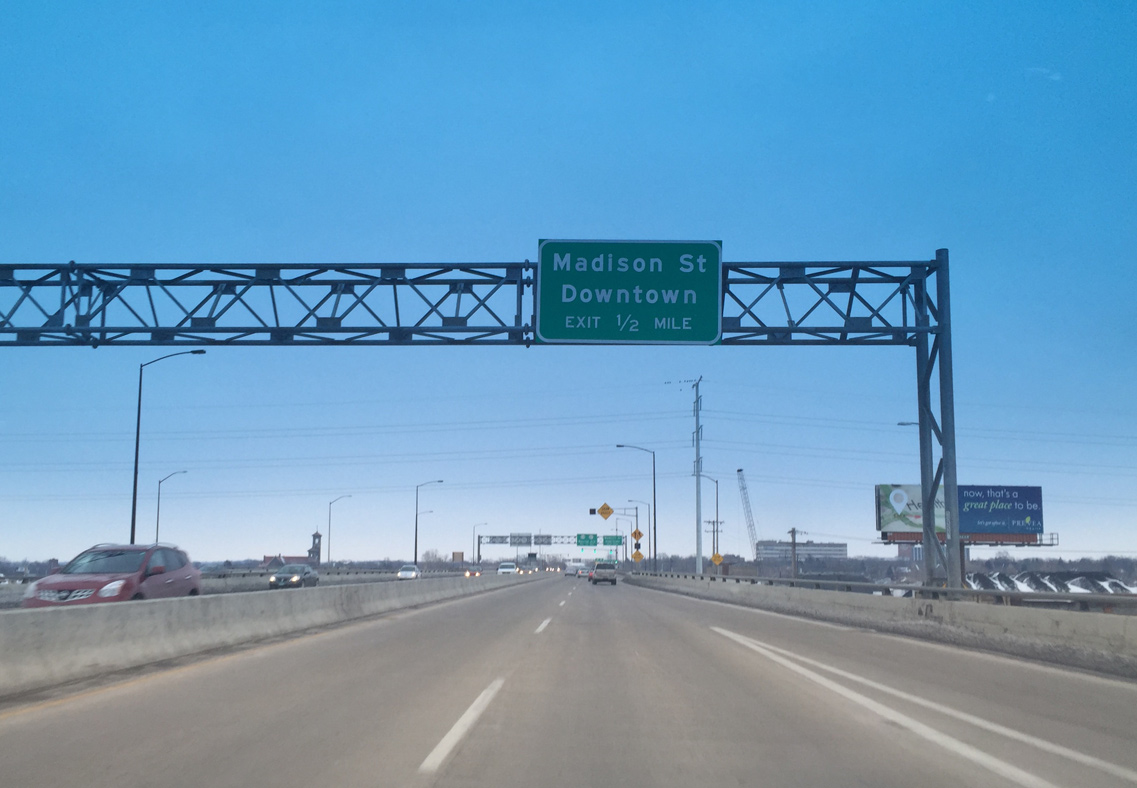
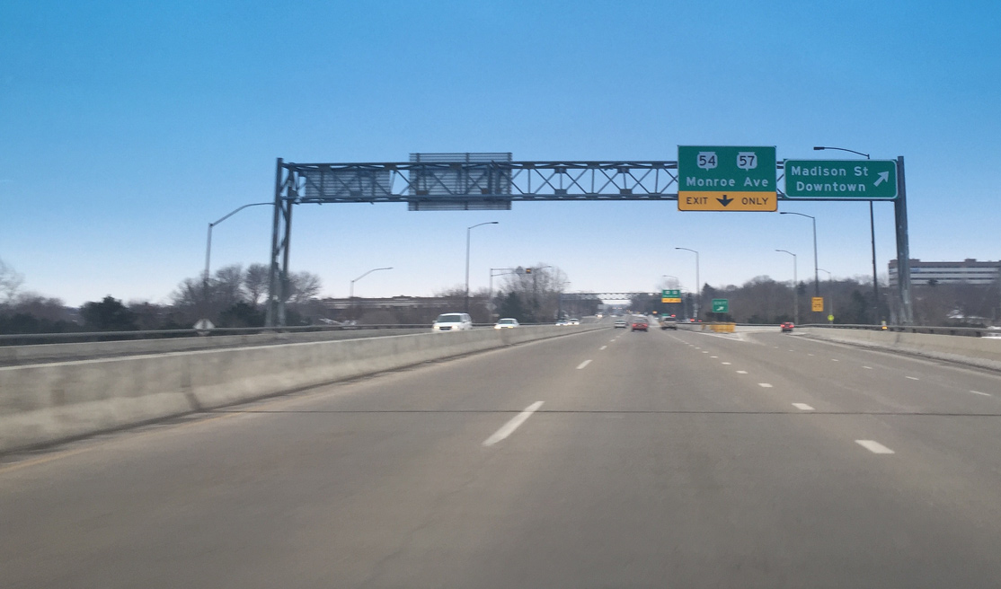
Wis 54 leaves Mason Street in one half mile to combine with Wis 57 north along Monroe Avenue. Interests to Downtown Green Bay are directed north along Madison Street, which parallels the trunk highways one block to the west.
01/21/16

The Mason Street Bridge was built in 1973. $3.3 million in work between September 3, 2014 and April 2015 included the replacement of the barrier gate system, updating of the lift bridge control and electrical system components and the installation of cameras.1
01/21/16
The Madison Street off-ramp departs from Wis 54 above Adams Street to join the one way street northbound ahead of Martin Street. North-south streets in Green Bay from the Fox River east to Webster Avenue are named after former U.S. Presidents.
01/21/16
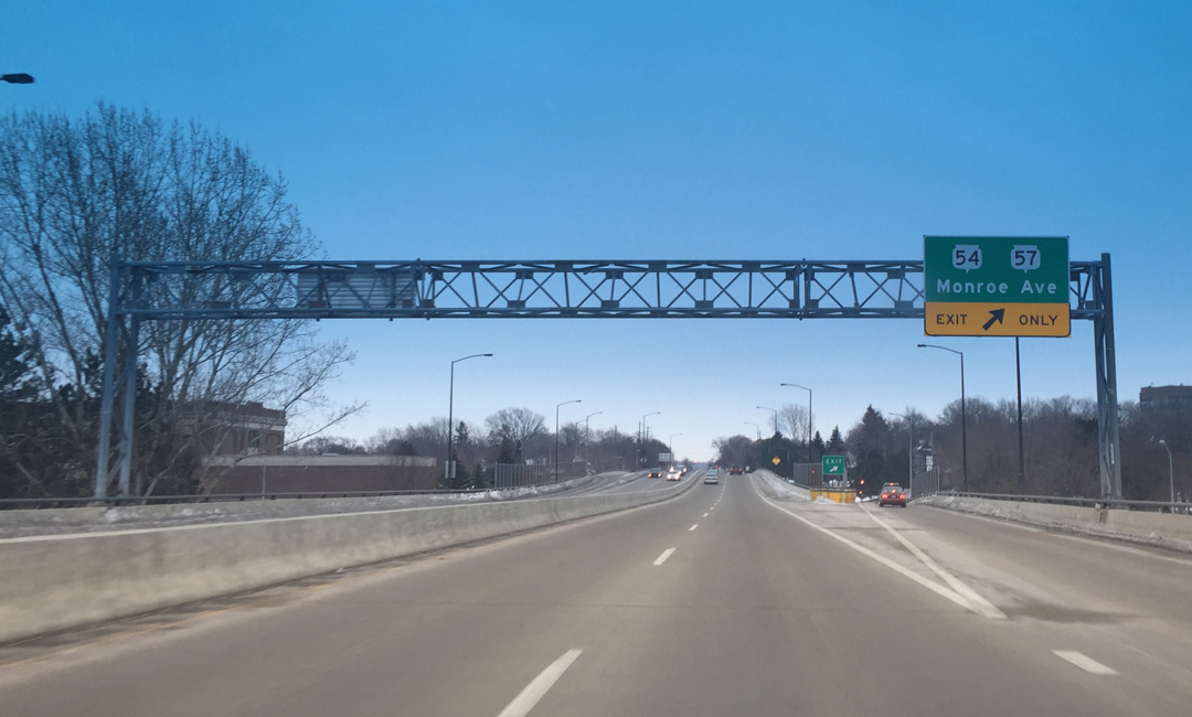
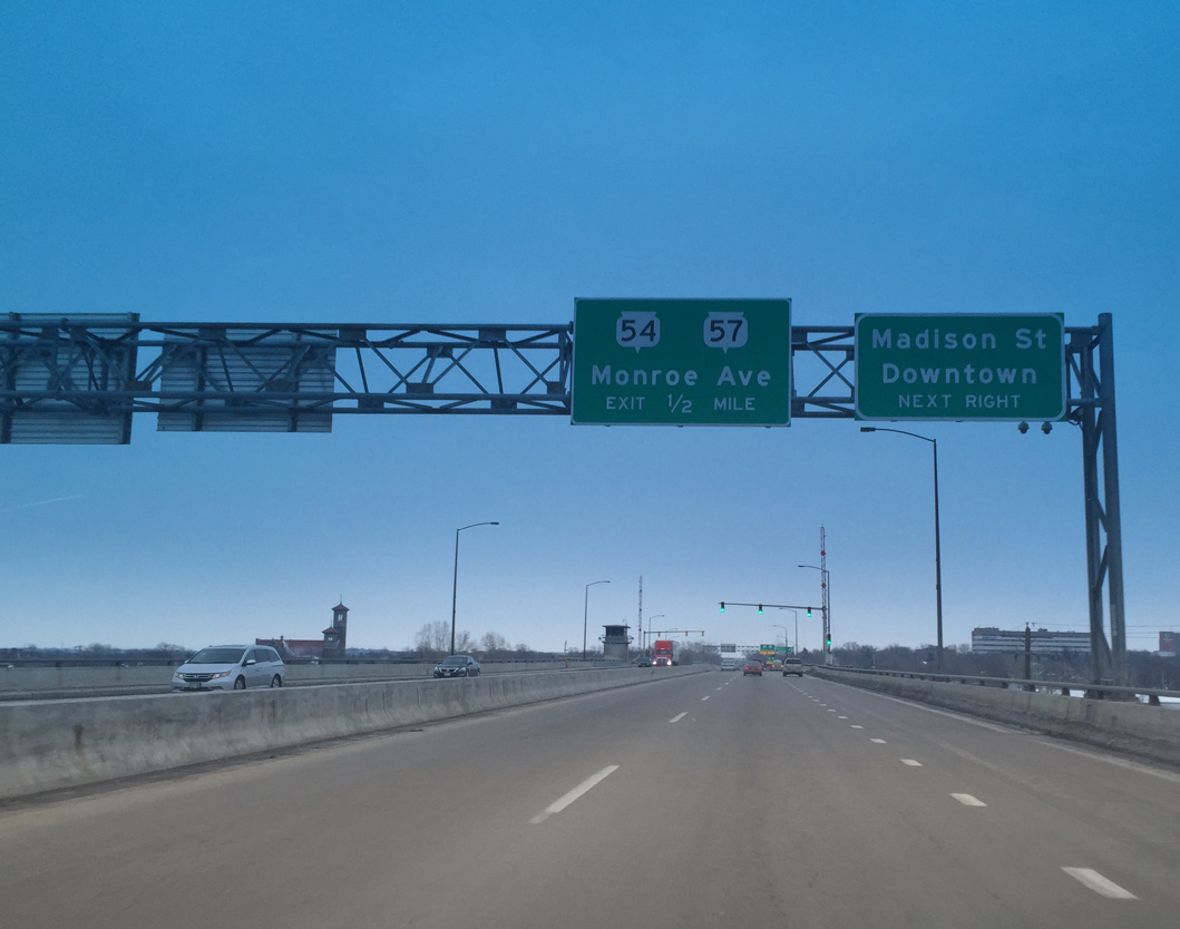
Wis 54 quickly leaves the Mason Street viaduct for Monroe Avenue. STH 57 runs south along Monroe Avenue to Allouez and north with STH 54 east to the East River outside Downtown.
01/21/16
The Mason Street viaduct touches down at Jackson Street. A pair of driveways tie into the eastbound lanes before the four lane boulevard intersects Webster Avenue at Baird Park.
01/21/16
References:
- "Gov. Walker approves funding for the Mason Street Bridge in Green Bay" Fox11News, August 24, 2014.
Photo Credits:
- Peter Johnson: 01/21/16
Connect with:
Page Updated Thursday April 07, 2016.