
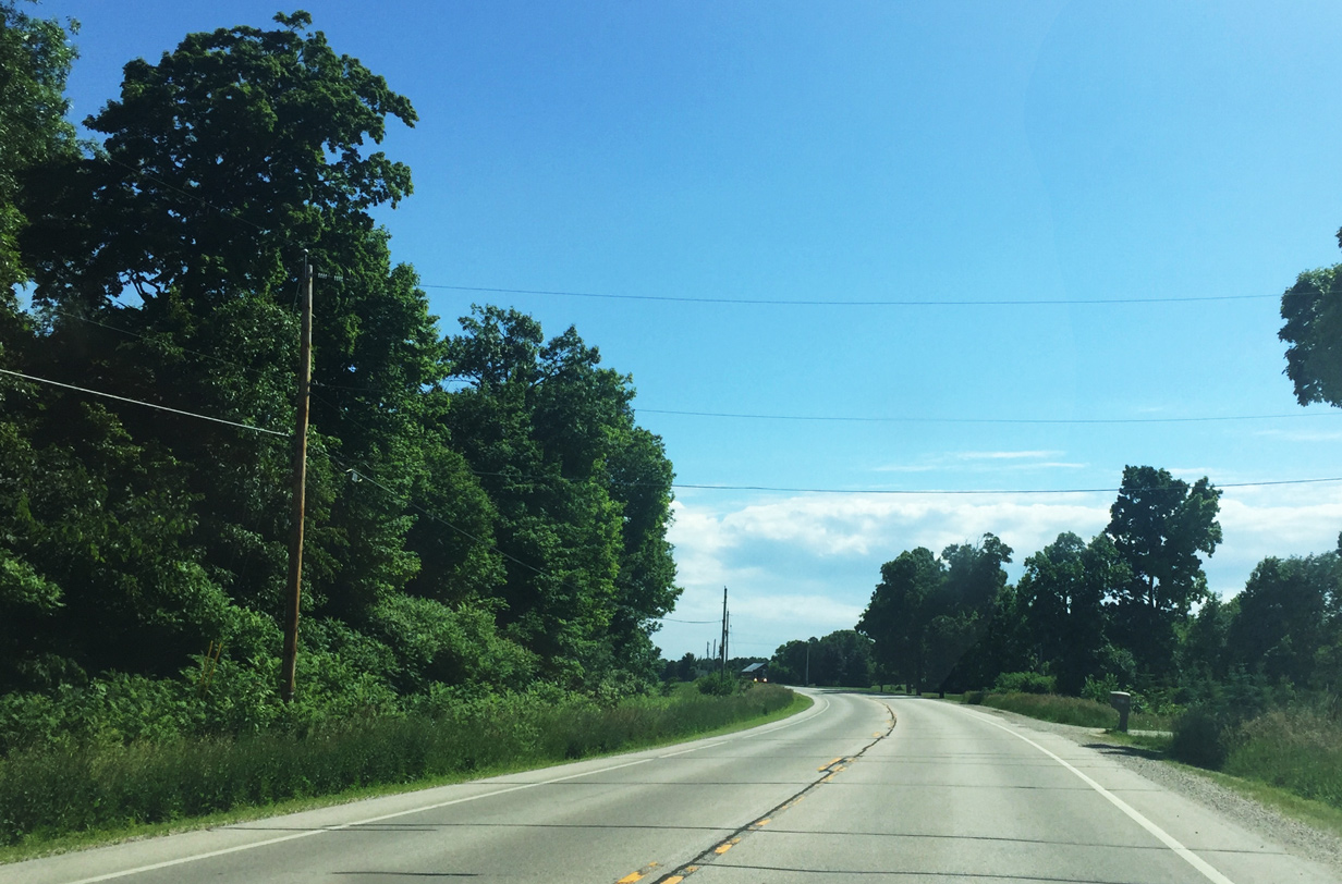
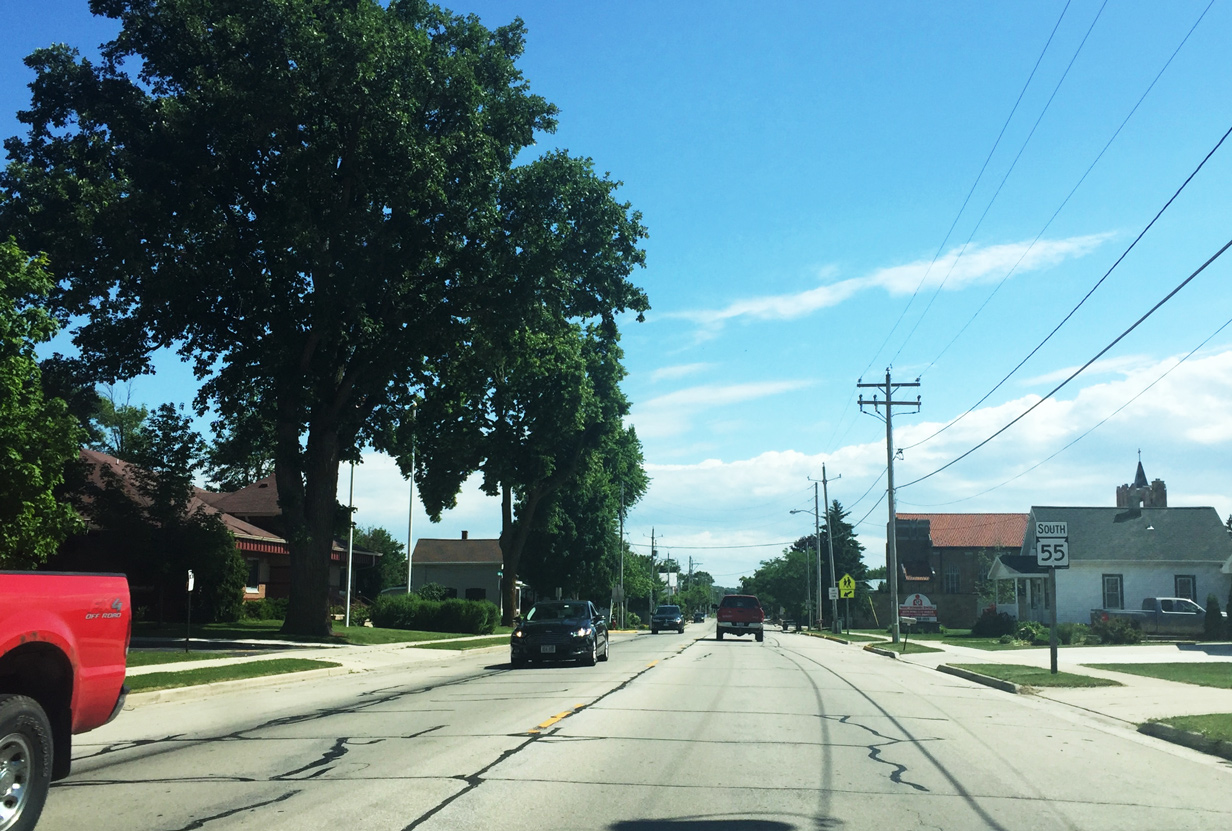
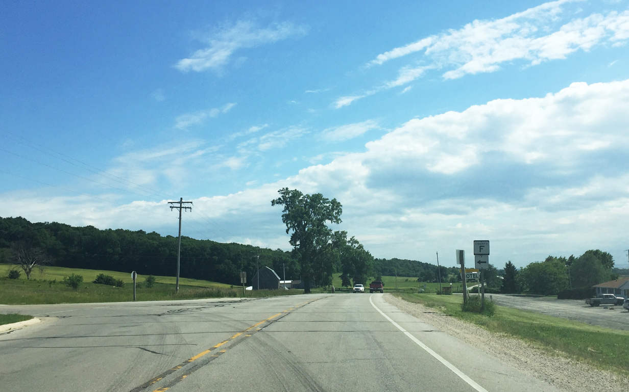
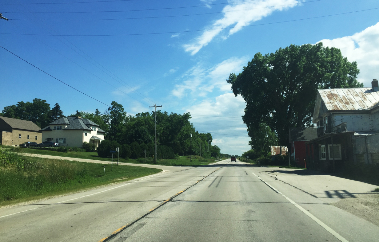
State Trunk Highway 55 South

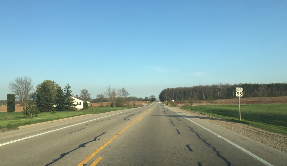
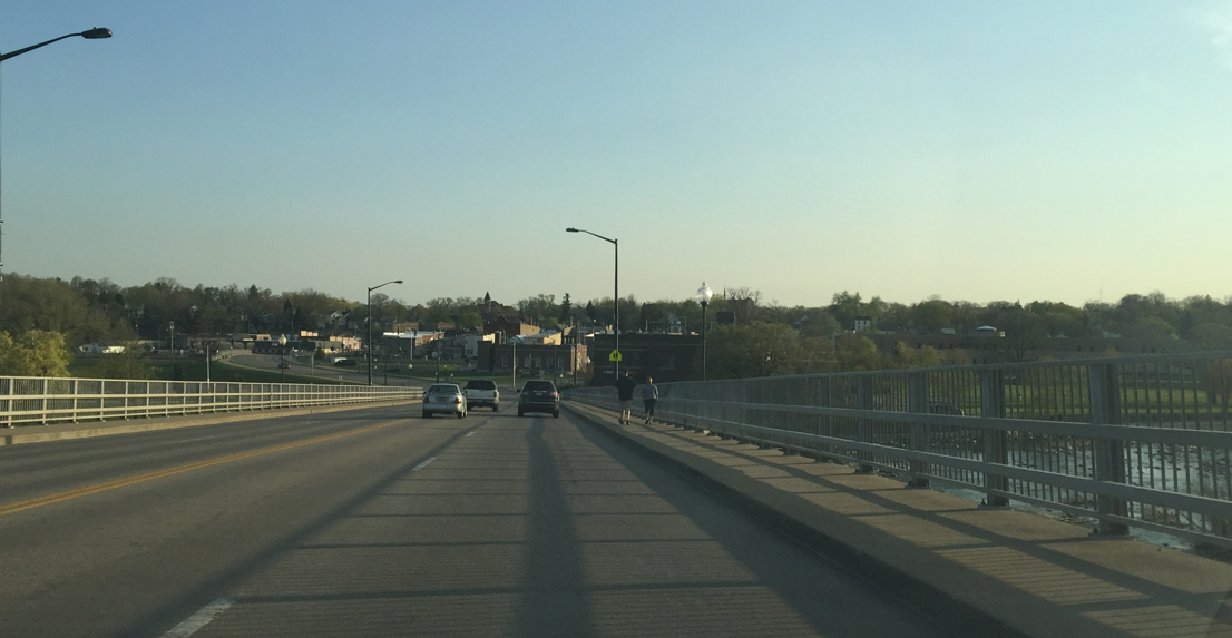
Wis 55 reassurance sign posted after County JJ. The state trunk highway remains rural on the northern outskirts of Kaukauna.
05/06/16

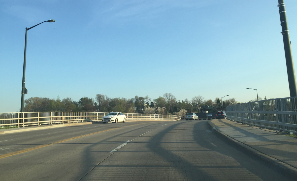
Entering the city limits of Kaukauna on Wis 55 (Delanglade Street) south.
05/06/16
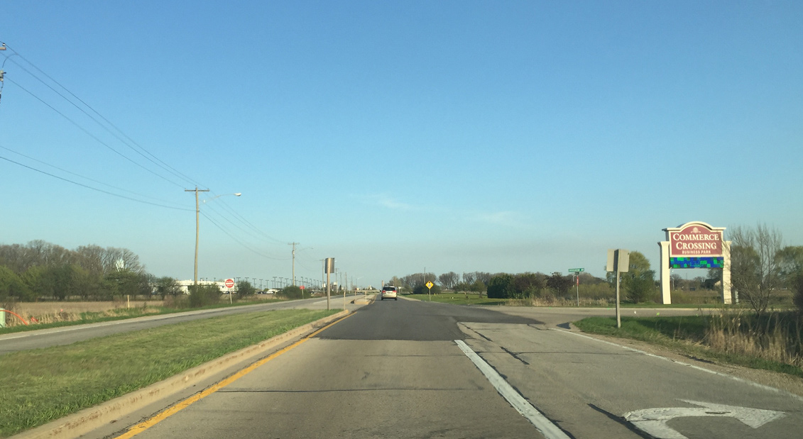
Commerce Crossing business park is a redevelopment project by the City of Kaukauna to replace a Greyhound Track. The turn lanes were put in to accommodate the track, but it went out of business due to the rise of casinos.
05/06/16
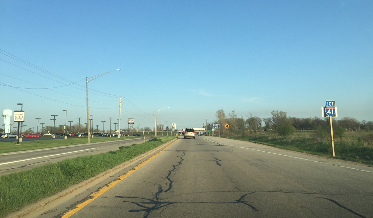
Advancing past Commerce Crossing, drivers along STH-55 south next enter a diamond interchange with Interstate 41.
05/06/16
Wis 55 south at the I-41 south ramps. The interchange was built in the early 1960s with older design standards. Newer interchanges have left turn lanes and are built wider.
05/06/16
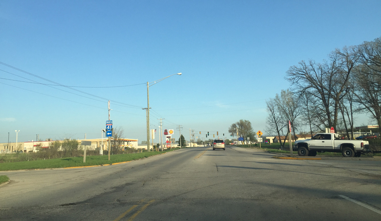
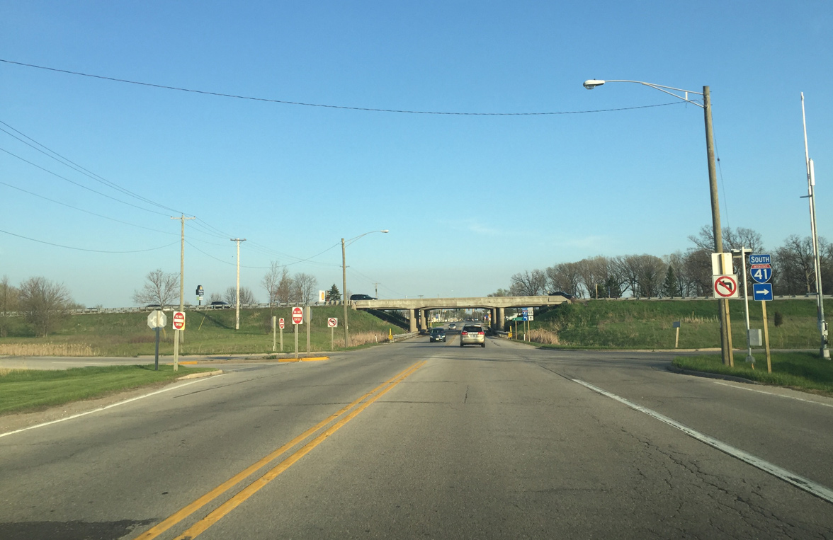
Interstate 41 travels east-west from Grand Chute across north Appleton, Little Chute and Kaukauna. Leading away from Wis 55, the freeway turns northward to Wrightstown, Ashwaubenon and Green Bay.
05/06/16
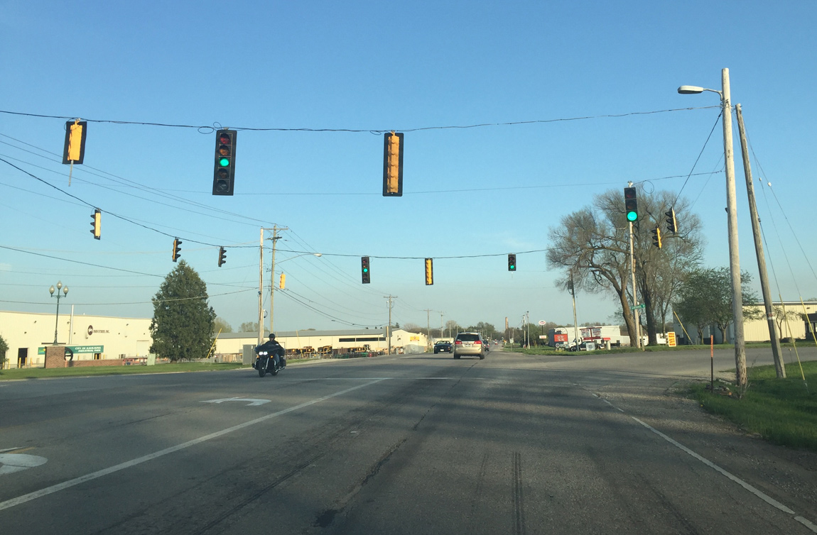
Temporary traffic signals in use at the intersection with Maloney Road north and Gertrude Street south. A roundabout is scheduled to be built here.
05/06/16
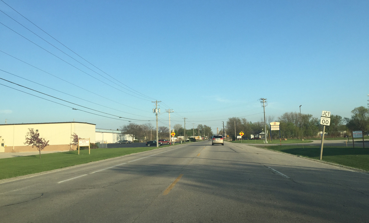
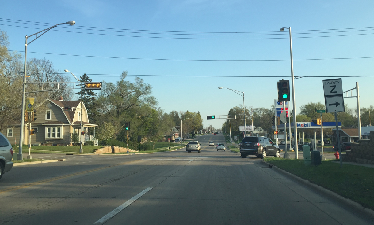
Wis 55 (Delanglade Street) bisects an industrial area from Maloney Street south to County OO (Hyland Avenue).
05/06/16
County OO (Hyland Avenue) skirts the northern Fox Cities. The four lane section of the trunk highway begins to the right (west). A roundabout will replace this intersection when Wis 55 is reconstructed.
05/06/16
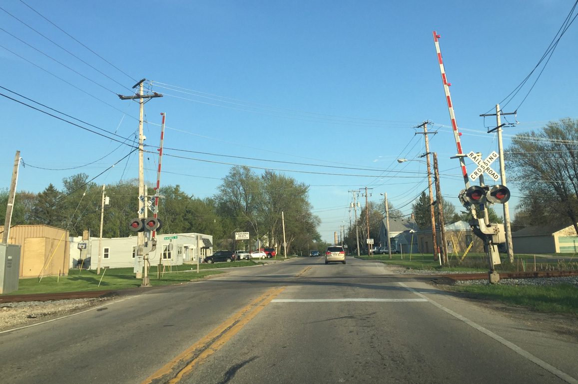
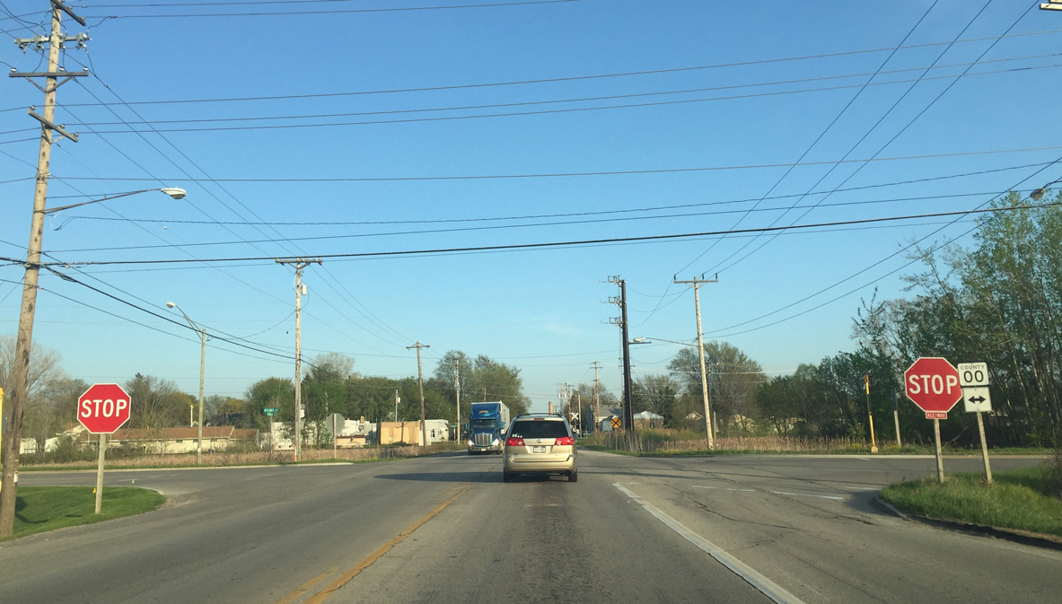
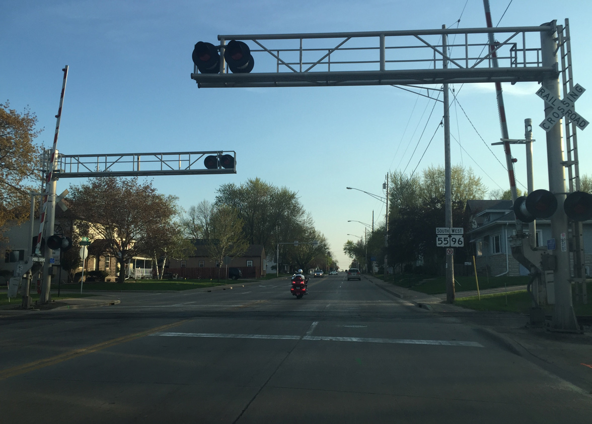
South of CTH-OO, STH-55 crosses a Canadian National Railroad to enter a residential area of Kaukauna.
05/06/16
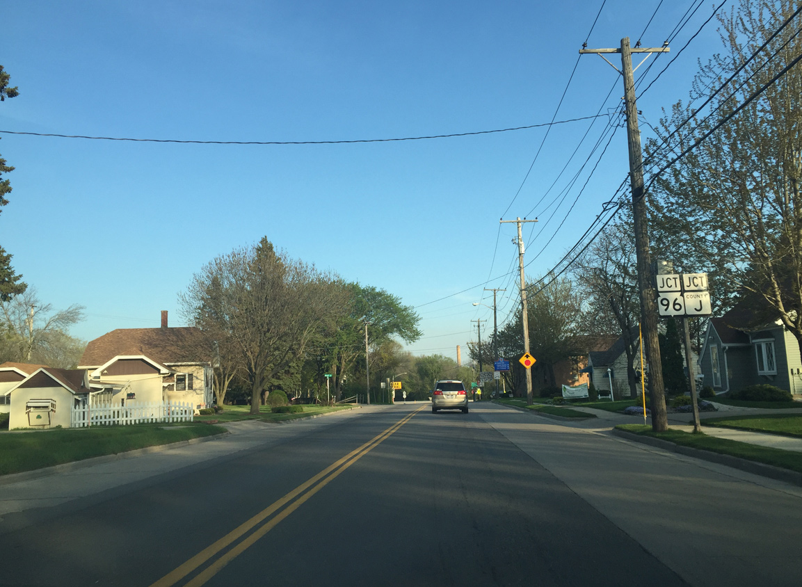
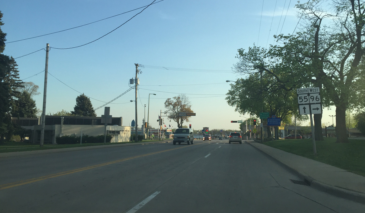
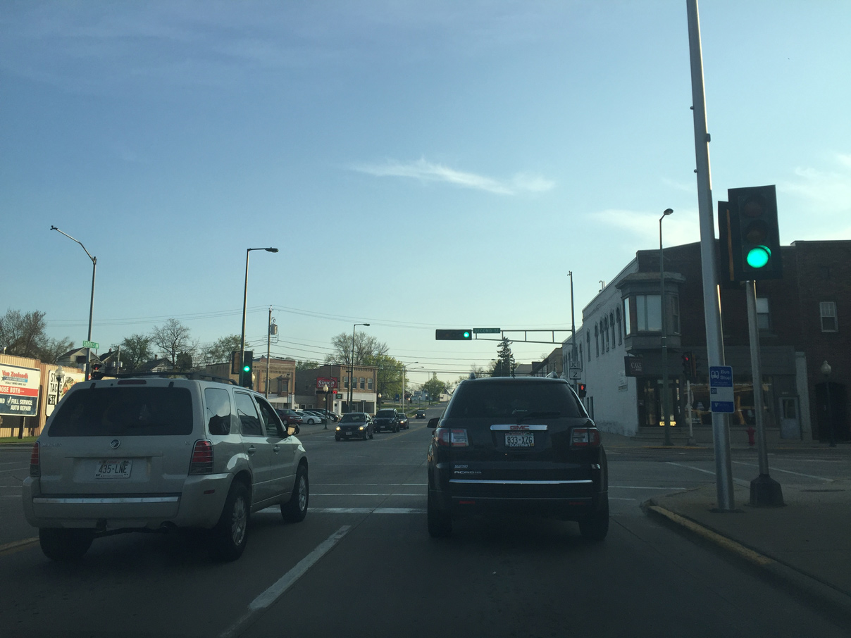
Three blocks further south, Wis 55 intersects Wis 96 west and County J north at Lawe Street.
05/06/16
Wis 96 comprises a 56 mile route between Fremont and Denmark. The state trunk highway joins the Kaukauna city center with central Little Chute and Appleton to the west while paralleling I-41 northeast to Wrightstown.
05/06/16
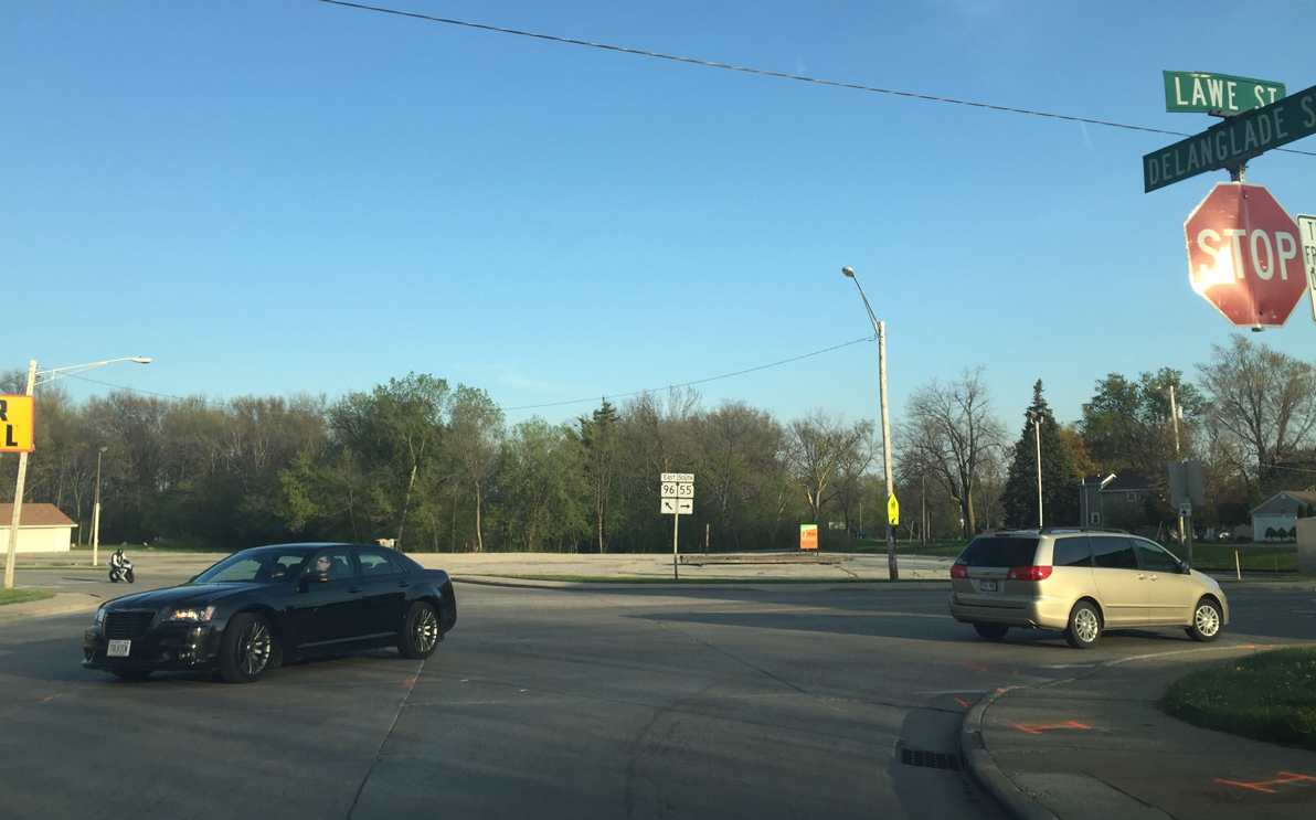
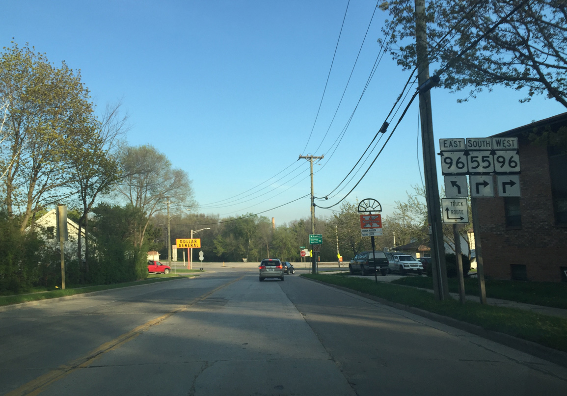
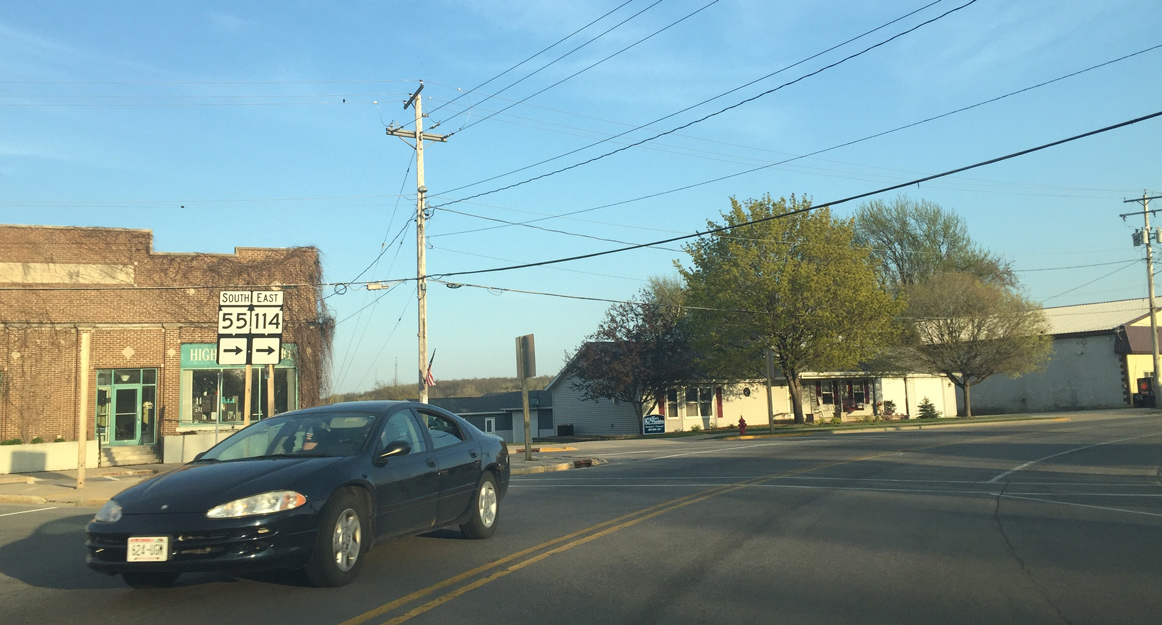
Traffic signals will be installed at the Lawe Street intersection when Wis 55 is reconstructed. Wis 55 turns to the right with Wis 96 west.
05/06/16
First Wis 55/96 reassurance assembly as the tandem cross a railroad spur to a paper mill.
05/06/16
Wis 55/96 west overlap for just a half mile along Lawe Street to Taylor Street north and Catherine Street south.
05/06/16
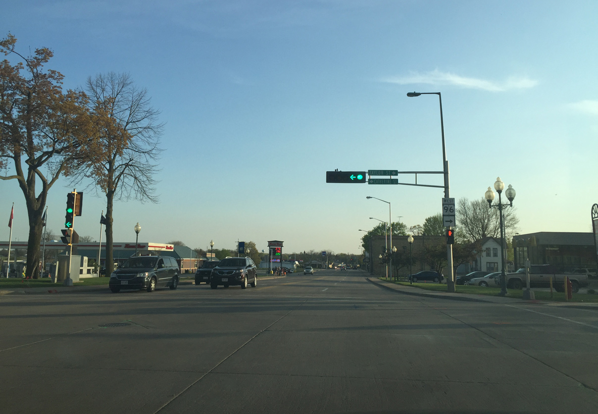
Wis 96 west turns right onto Taylor Street towards Little Chute and Appleton. Catherine Street leads to the other Fox River crossing in Kaukauna.
05/06/16
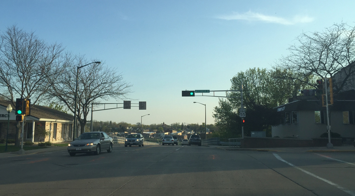
Lawe Street continues Wis 55 south to the Fox River at Wisconsin Avenue. Wisconsin Avenue leads to the Kaukauna Uptown District.
05/06/16
Wis 55 crosses the Fox River. The river drops 50 feet in Kaukauna.
05/06/16
Crossing a canal built for Hydroelectric power. The steep drop in elevation accommodates two hydro power plants. The early power plants give Kaukauna the nickname "Electric City".
05/06/16
Second Street leads to the Downtown Kaukauna business district. Adjacent 3rd Street doubles as County Z east to Askcaton in Brown County.
05/06/16
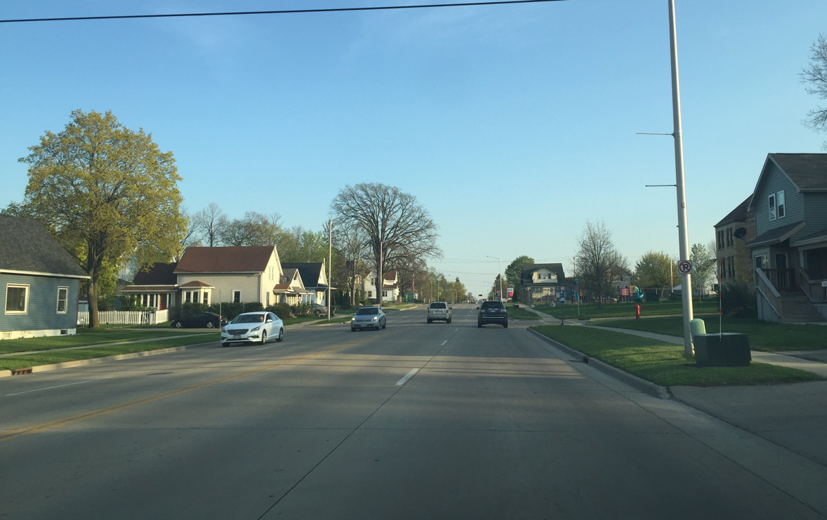
Wis 55 transitions through a residential street grid as it heads up the valley into southern Kaukauna.
05/06/16
County Z shares an implied overlap with Wis 55 south from 3rd to 10th Streets. The trunk highway resumes a westward course from STH-55 to Combined Locks and Kimberly.
05/06/16
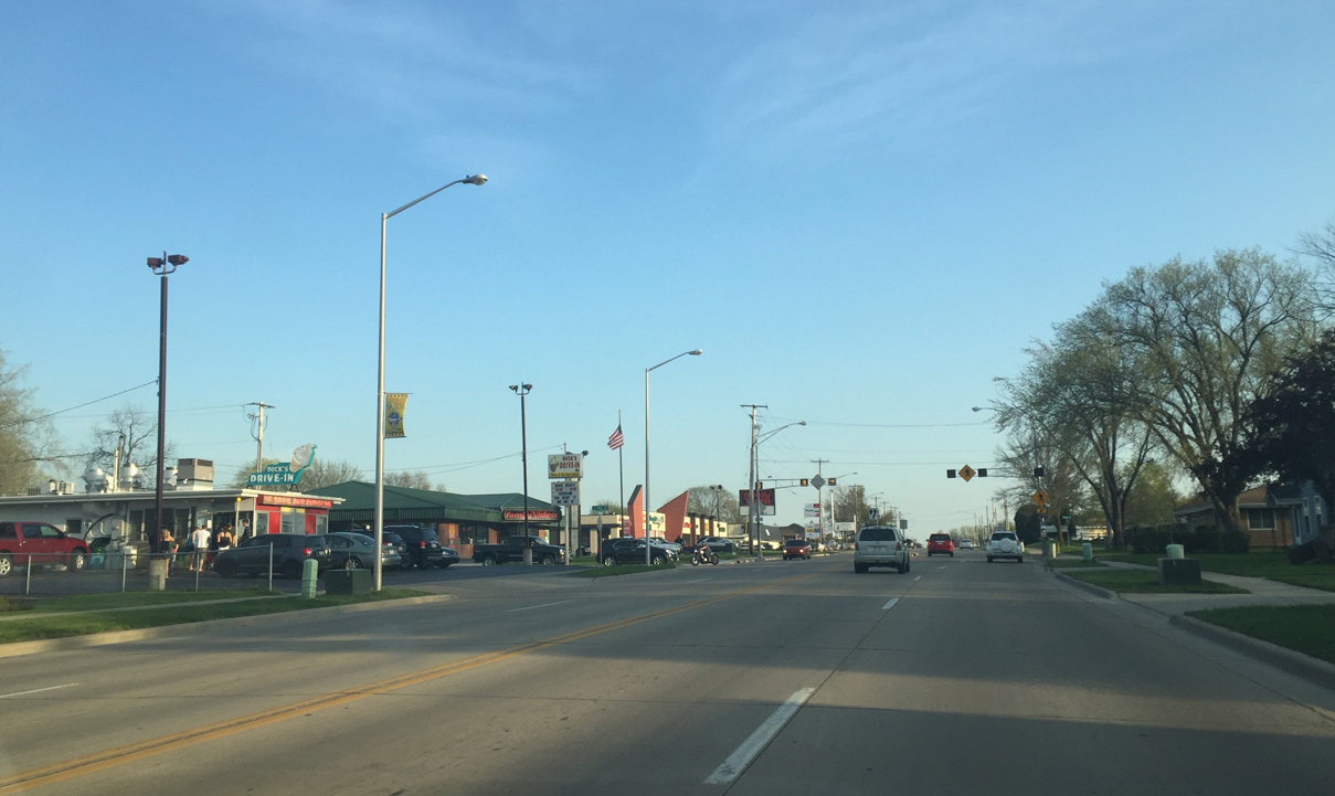
Dicks Drive In, located on Wis 55 (Crooks Avenue) at 18th Street, is a popular roadside destination for food and ice cream.
05/06/16
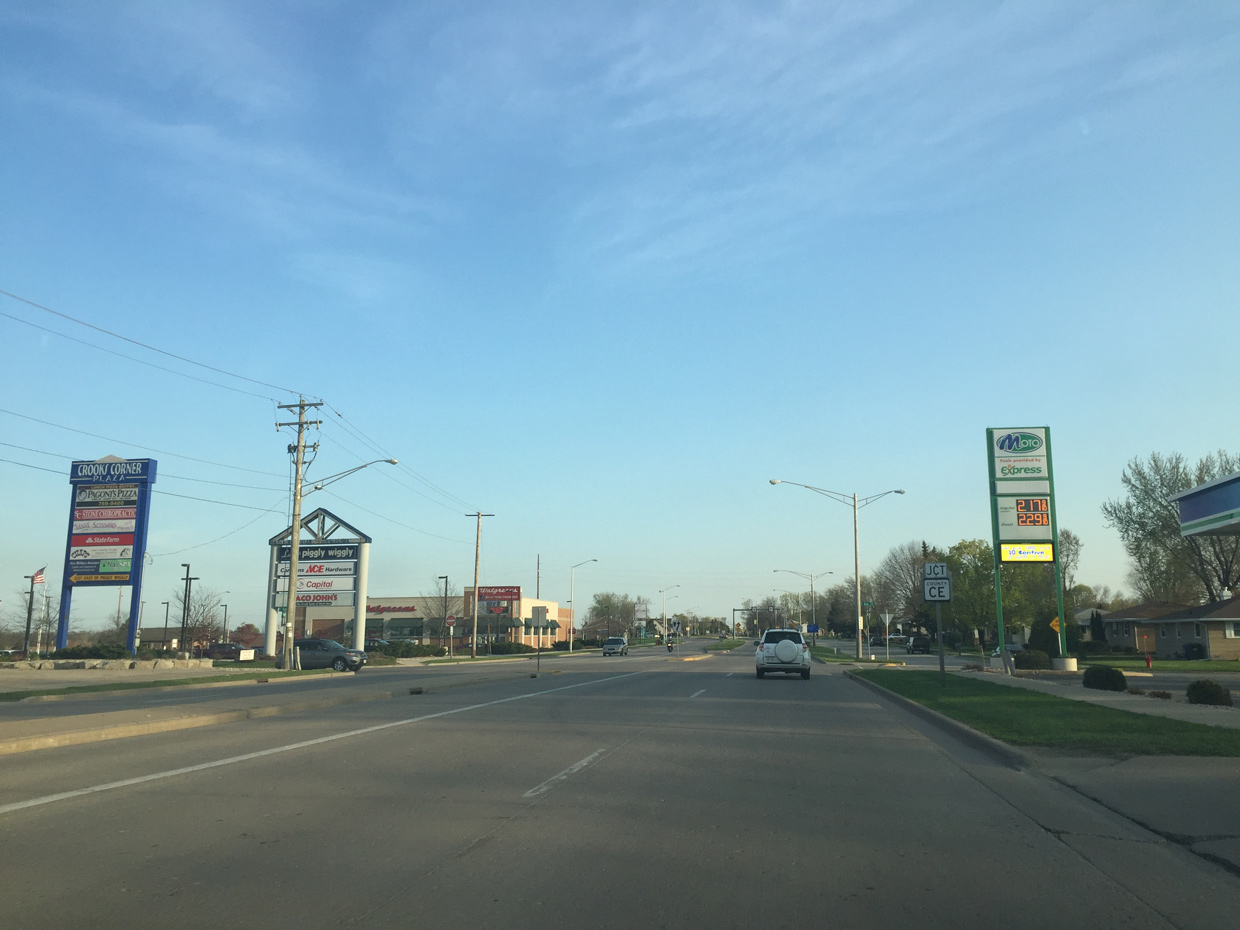
Wis 55 (Crooks Avenue) passes by newer commercial development as it approaches County CE. County CE constitutes a four lane expressway west of the roundabout with Wis 55. The trunk highway ends at Wis 441, where College Avenue enters Appleton.
05/06/16
A multi lane roundabout replaced traffic signals at Wis 55 and County CE (College Avenue) in 2012.
05/06/16

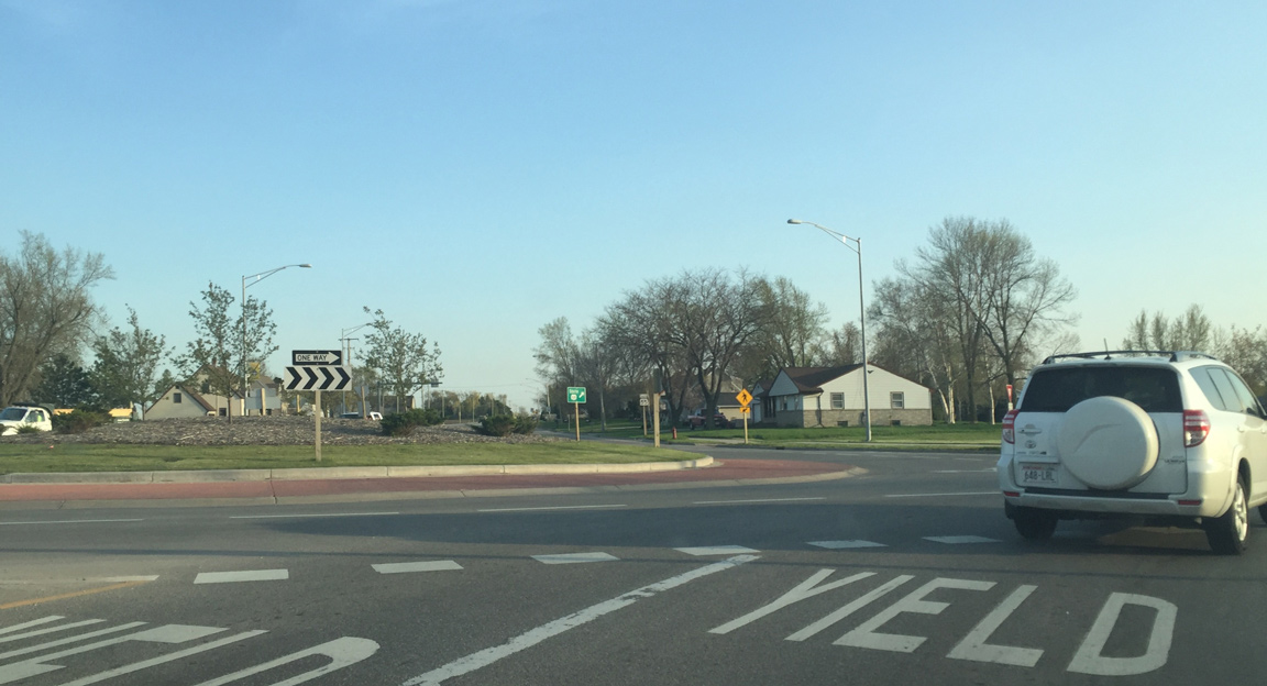
Wis 55 narrows to two lanes as it exits Kaukauna.
05/06/16
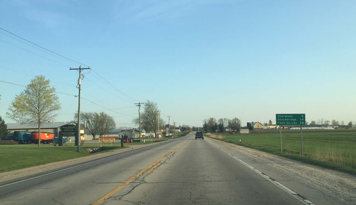
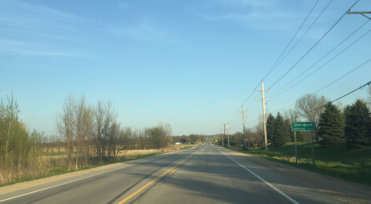
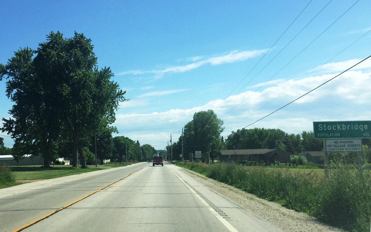
Sherwood, a village of over 2,700, is the next community that Wis 55 enters. Stockbridge lies further south along the route off Lake Winnebago.
05/06/16
Forthcoming County KK (Calumet Street) travels through Harrison and the south end of Appleton.
05/06/16
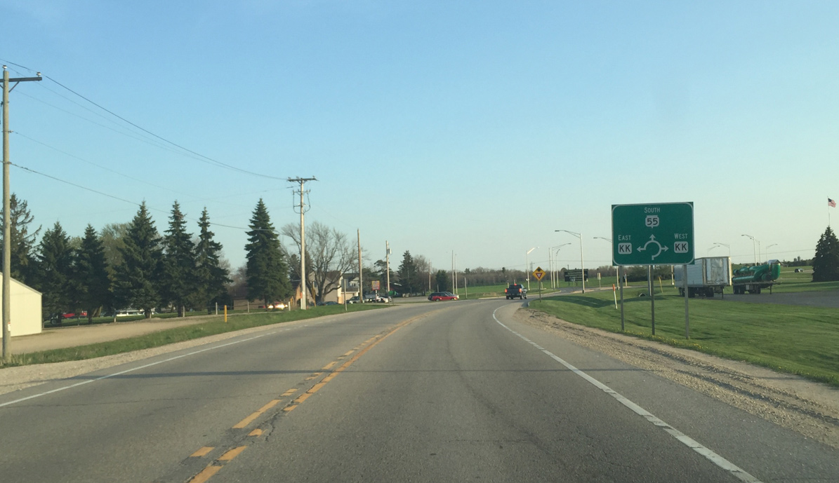
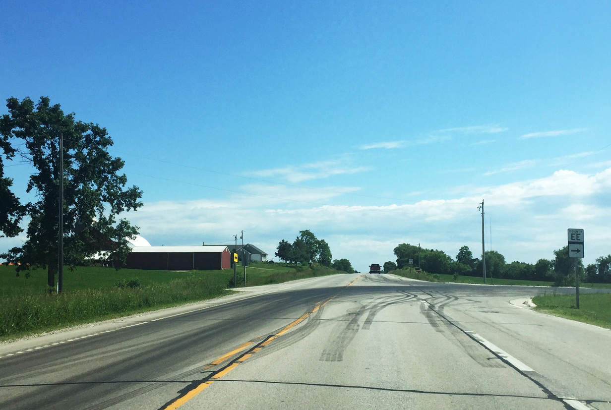
Drivers along Wis 55 south reach the Calumet County line at the roundabout with County KK. CTH-KK straddles the county border east to CTH-D and west to Wis 441.
05/06/16
Wis 55 angles southwest one half mile and passes through a mostly rural area in the Village of Harrison.
05/06/16
U.S. 10 connects Appleton and Manitowoc as part of a 293 mile route across Wisconsin from Prescott to Lake Michigan and the SS Badger Carferry Dock.
05/06/16
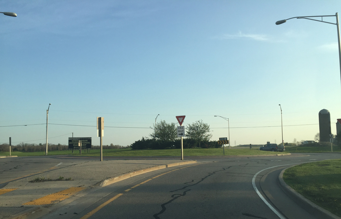
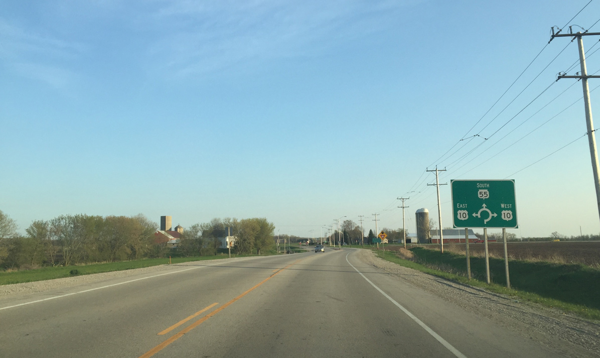
A roundabout replaced stop signs on Wis 55 at U.S. 10 due to high crash rates.
05/06/16
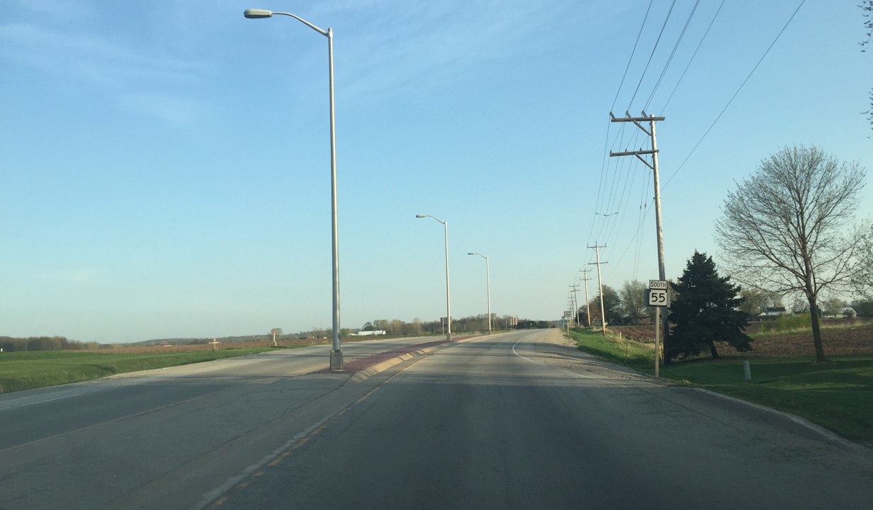
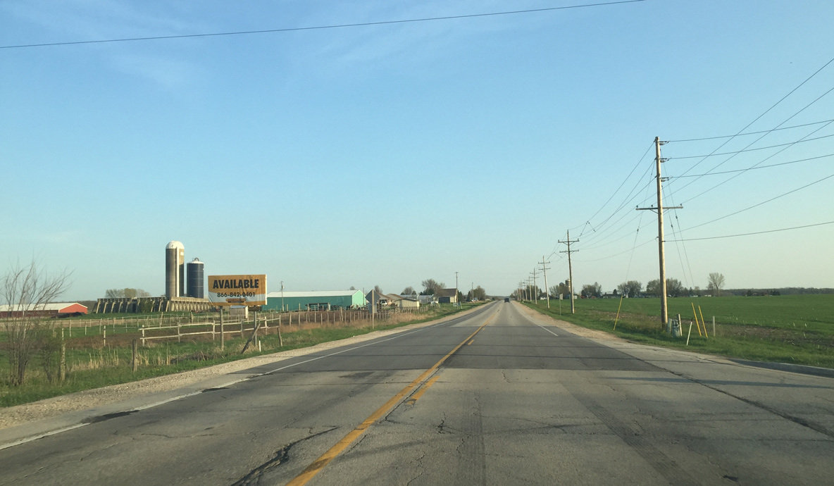
Confirming marker posted for Wis 55 south of U.S. 10. The state trunk highway traverses agricultural areas for another 1.5 miles.
05/06/16
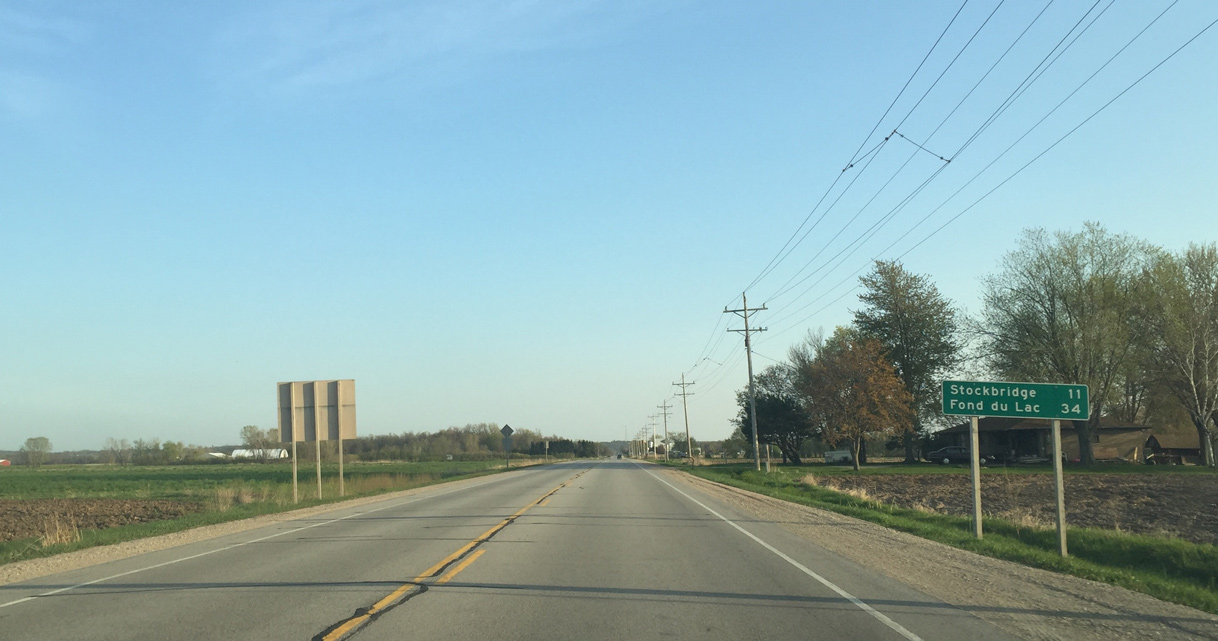
Stockbridge is 11 miles away. Wis 55 ends before Fond Du Lac, but runs into U.S. 151 that takes travelers the rest of the way.
05/06/16
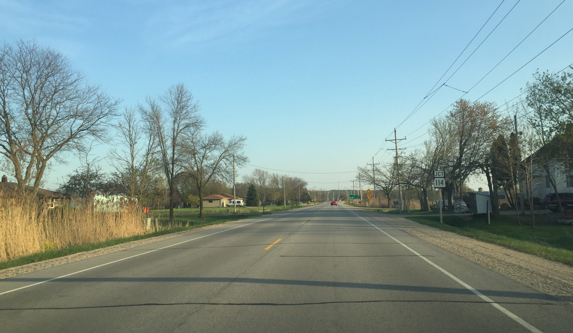
Approaching Wis 114 on Wis 55 south. Wis 114 connects Sherwood with Appleton and Menasha.
05/06/16
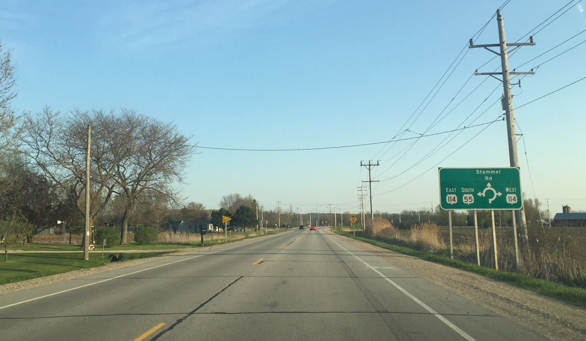
Wis 55 south joins Wis 114 southeast towards Sherwood while Stommel Road extends south as a local road to the High Cliff Country Club golf course community.
05/06/16
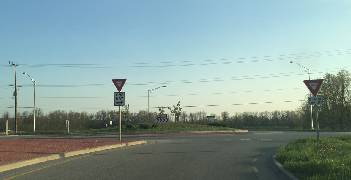
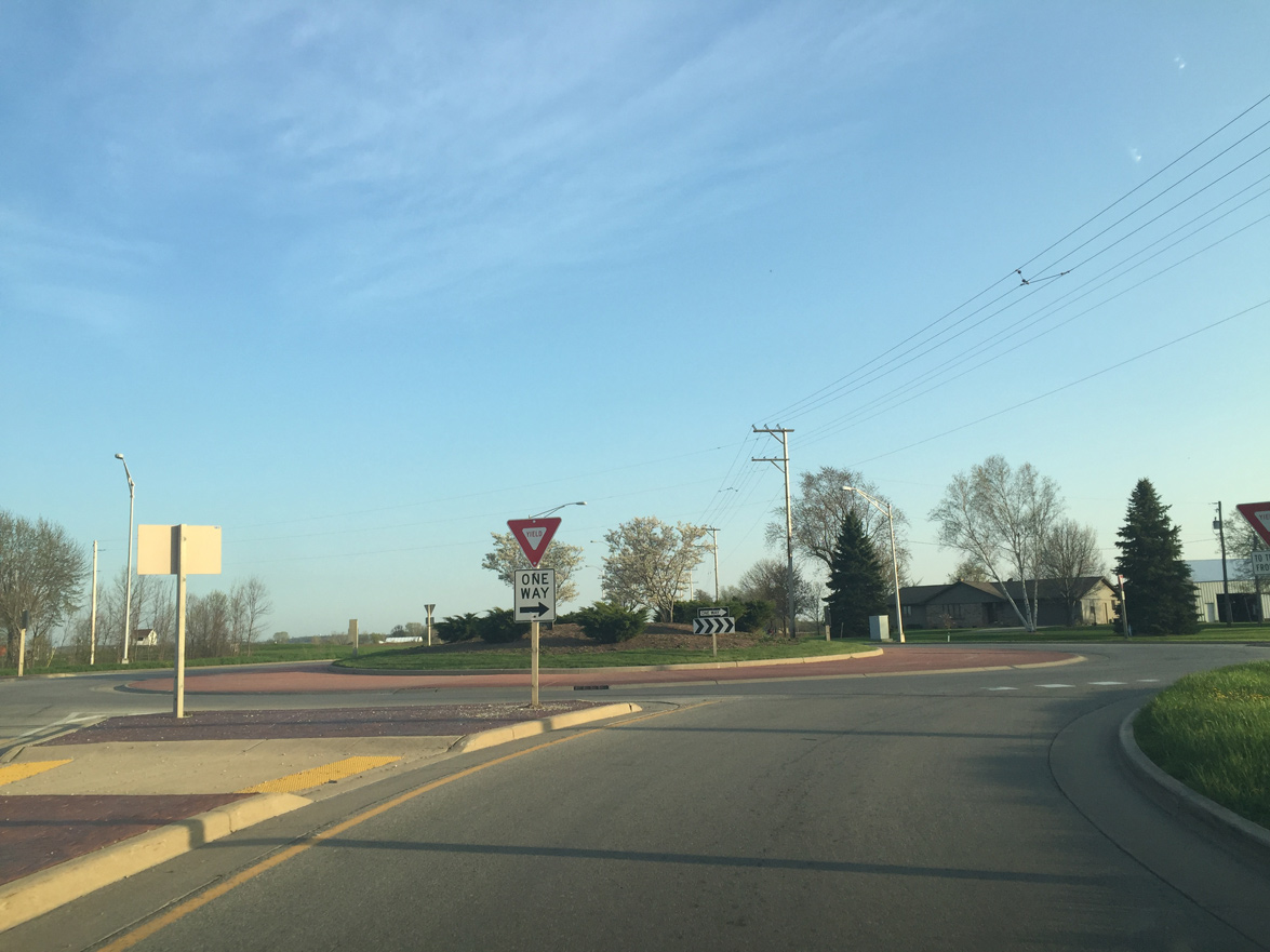
A roundabout joins the two state trunk highways on the northern outskirts of Sherwood. Wis 55/114 overlap for 2.5 miles to the south while Wis 114 west combines with U.S. 10 in 5.2 miles at Harrison.
05/06/16
STH-55/114 enter the village of Sherwood south of a CN Railroad crossing. Sherwood was a growing community, but after the Town of Harrison incorporated to become a village, it is severely limited as it can no longer annex additional land.
05/06/16
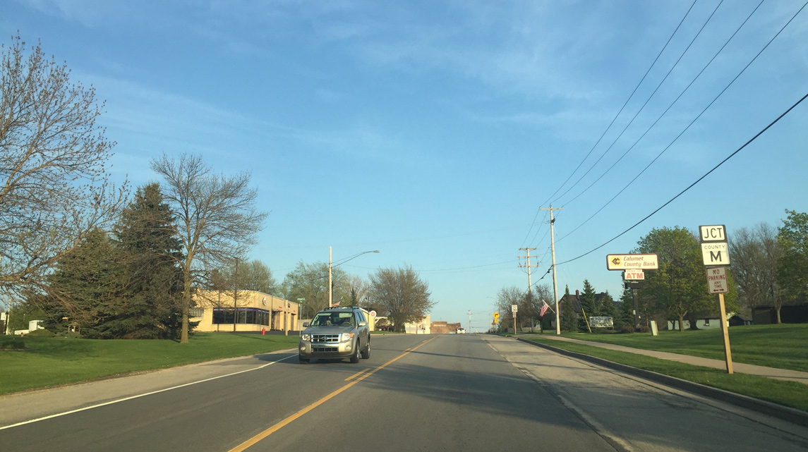
Wis 55/114 (Veterans Avenue) east intersect County M (Military Road) at the Sherwood village center.
05/06/16
Wis 55-114 turns southwest to overtake Military Road from CTH-M through Sherwood.
05/06/16
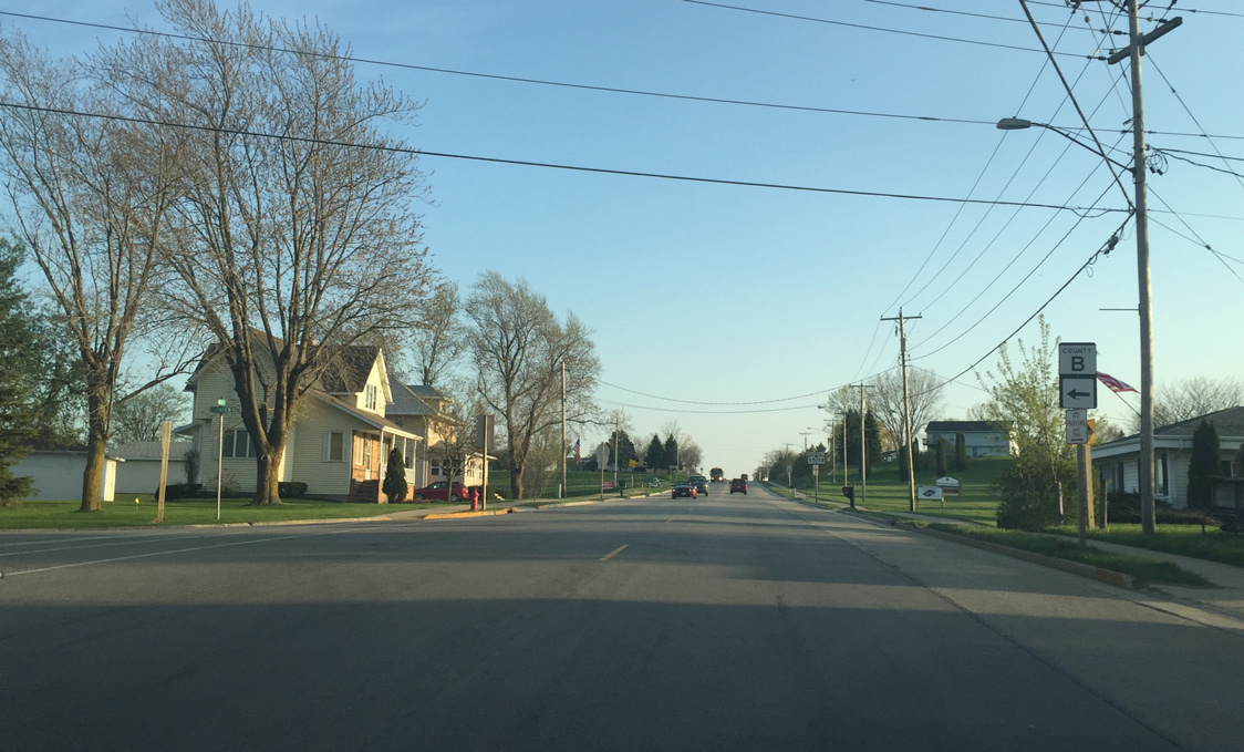
County B heads east from Wis 55/114 through St. John to end in 4.8 miles at Wis 32/57.
05/06/16
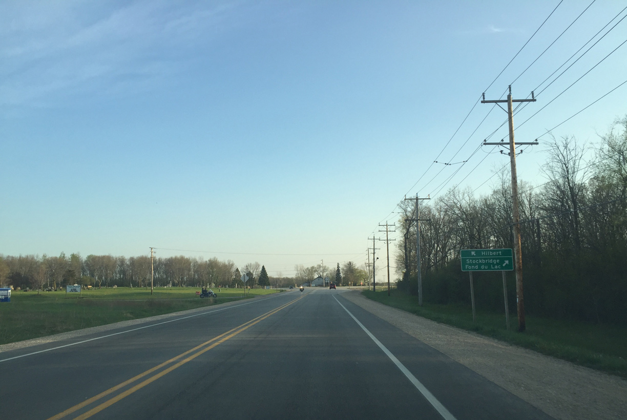
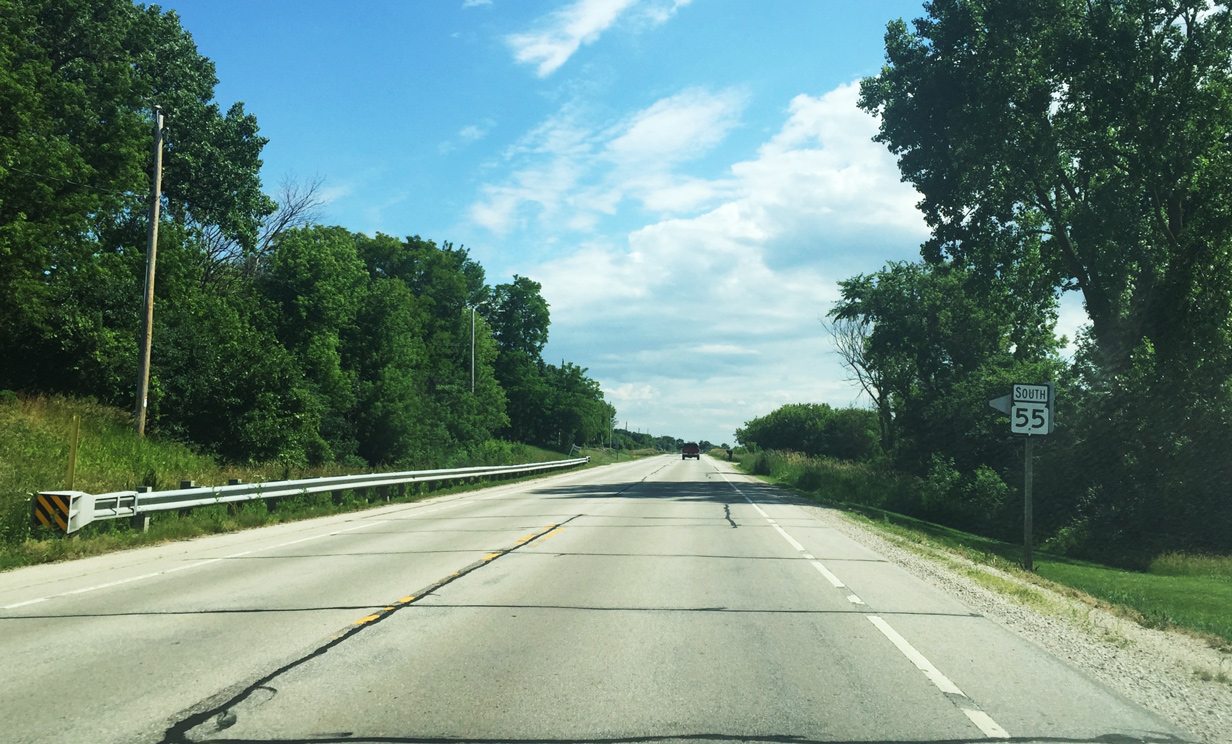
Wis 114 heads toward Hilbert while Wis 55 travels along the east shore of Lake Winnebago to Stockbridge and U.S. 151, north of Fond Du Lac.
05/06/16
Continuing south from the split with Wis 114 and the village of Harrison, Wis 55 winds around a curve near Faro Springs Road. Faro Springs Road stems east to connect with Wis 32 south of Hilbert.
06/22/16
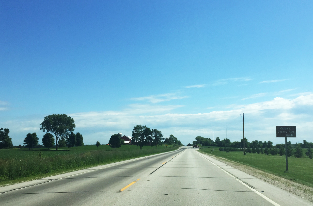
Calumet County Park is situated along Lake Winnebago at the west end of County EE. The 200-acre park offers camping sites, hiking trails, and various winter-time activities.
06/22/16
CTH-EE leads 1.2 miles west from Wis 55 to the entrance at Calumet County Park.
06/22/16
Beyond County EE and Hill Road STH-55 south travels along a part of the Niagara Escarpment. The escarpment is a long cliff-like ridge forming an arc around the Great Lakes from New York to Wisconsin. The Niagara Escarpment is the most prominent one in the Great Lakes region.1
06/22/16
Wis 55 formally enters the village of Stockbridge south of Moore Road. The village is touted as being the "Sturgeon Center of the World".
06/22/16
This reassurance marker is found along STH-55 south preceding School Street. The state trunk highway meets CTH-E (Lake Street) next.
06/22/16
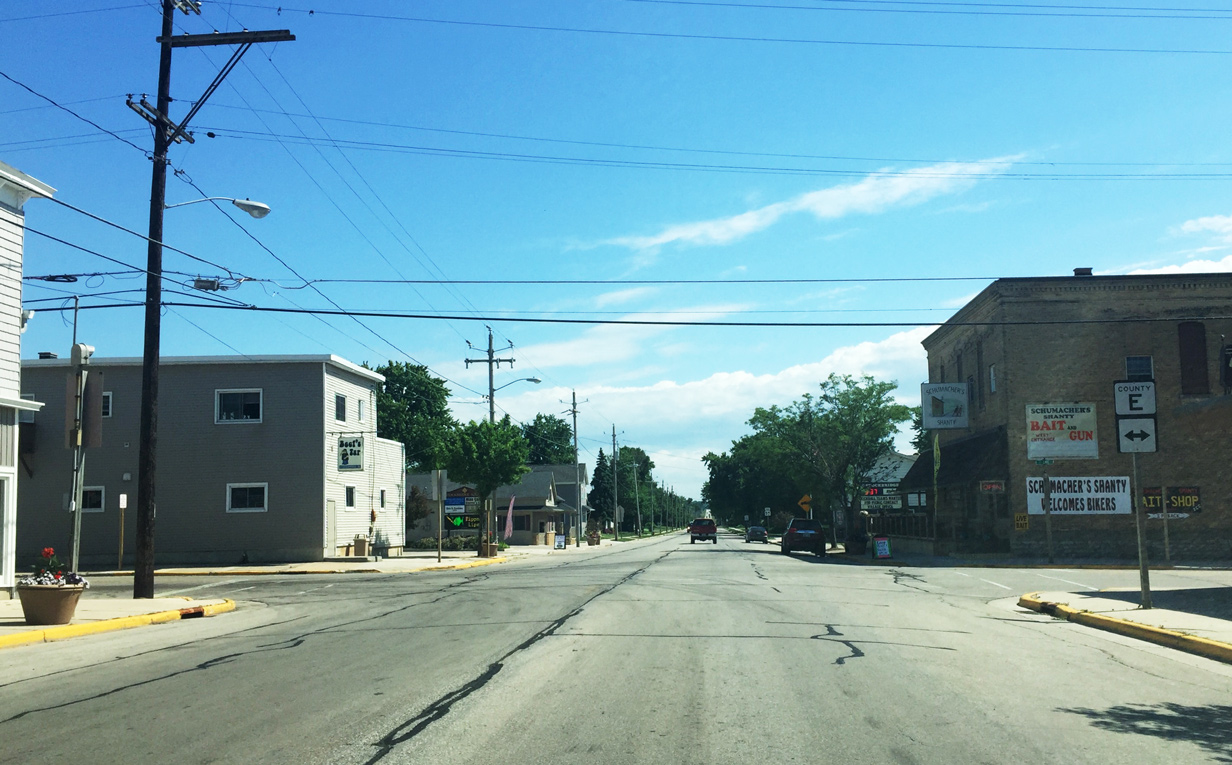
Wis 55 meets Calumet County E in the heart of Stockbridge. County E leads 1.5 miles west to Stockbridge Harbor and 4.8 miles east to the small community of Brant. Ultimately the county trunk highway ends at County Y in eastern Calumet County.
06/22/16
Motorists pass by this reassurance marker as STH-55 leaves the village of Stockbridge.
06/22/16
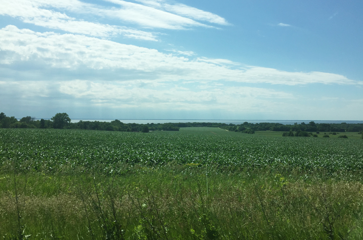
Lake Winnebago comes into view as STH-55 travels closer to the lake southwest Stockbridge and Quinney. Lake Winnebago is the largest inland lake in Wisconsin at over 212 square miles.
06/22/16
County F spokes east to Kloten and Chilton, the county seat of Calumet County.
06/22/16
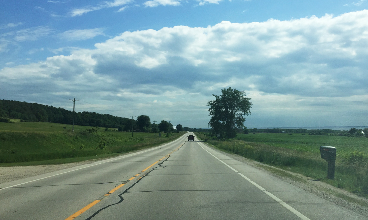
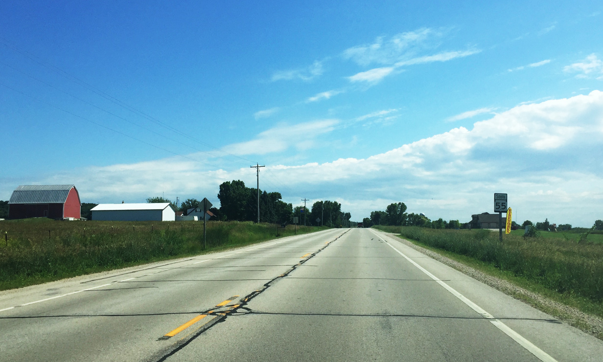
Wis 55 south travels between the Niagara Escarpment and Lake Winnebago from County F to the community of Quinney.
06/22/16
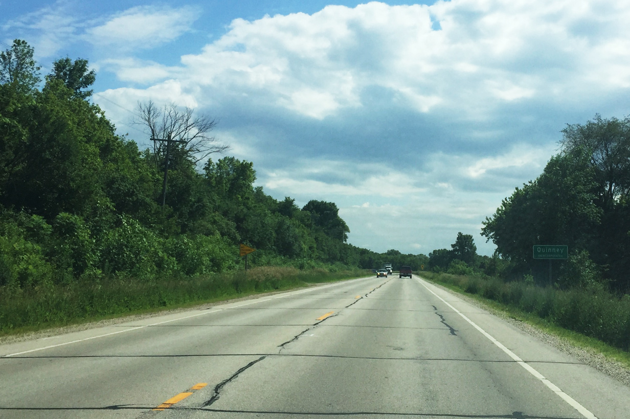
STH-55 kinks away from Lake Winnebago as it enters the unincorporated area of Quinney.
06/22/16
Quinney Road stems west and east a short distance from Wis 55 as the state trunk highway passes through the center of Quinney.
06/22/16
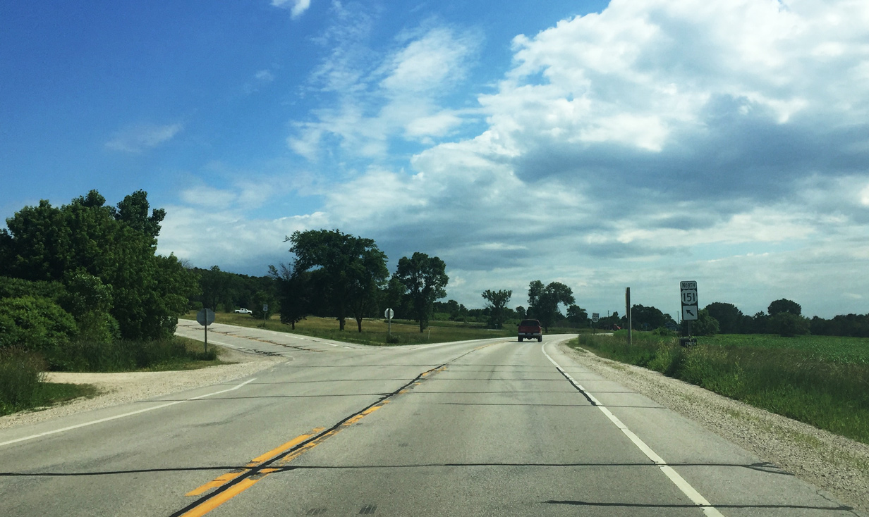
Wis 55 south advances toward U.S. 151.
06/22/16
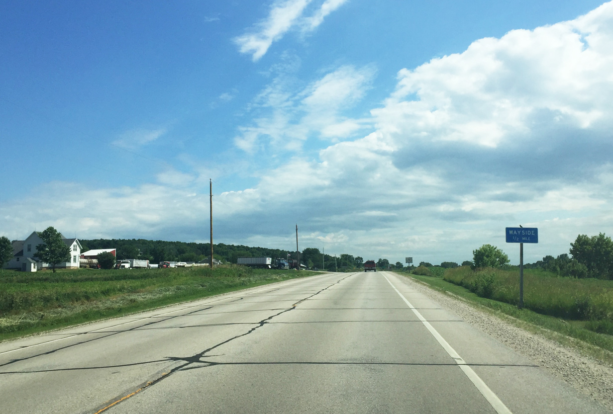
A small wayside area is located within the apex of the U.S. 151 and Wis 55 intersection.
06/22/16
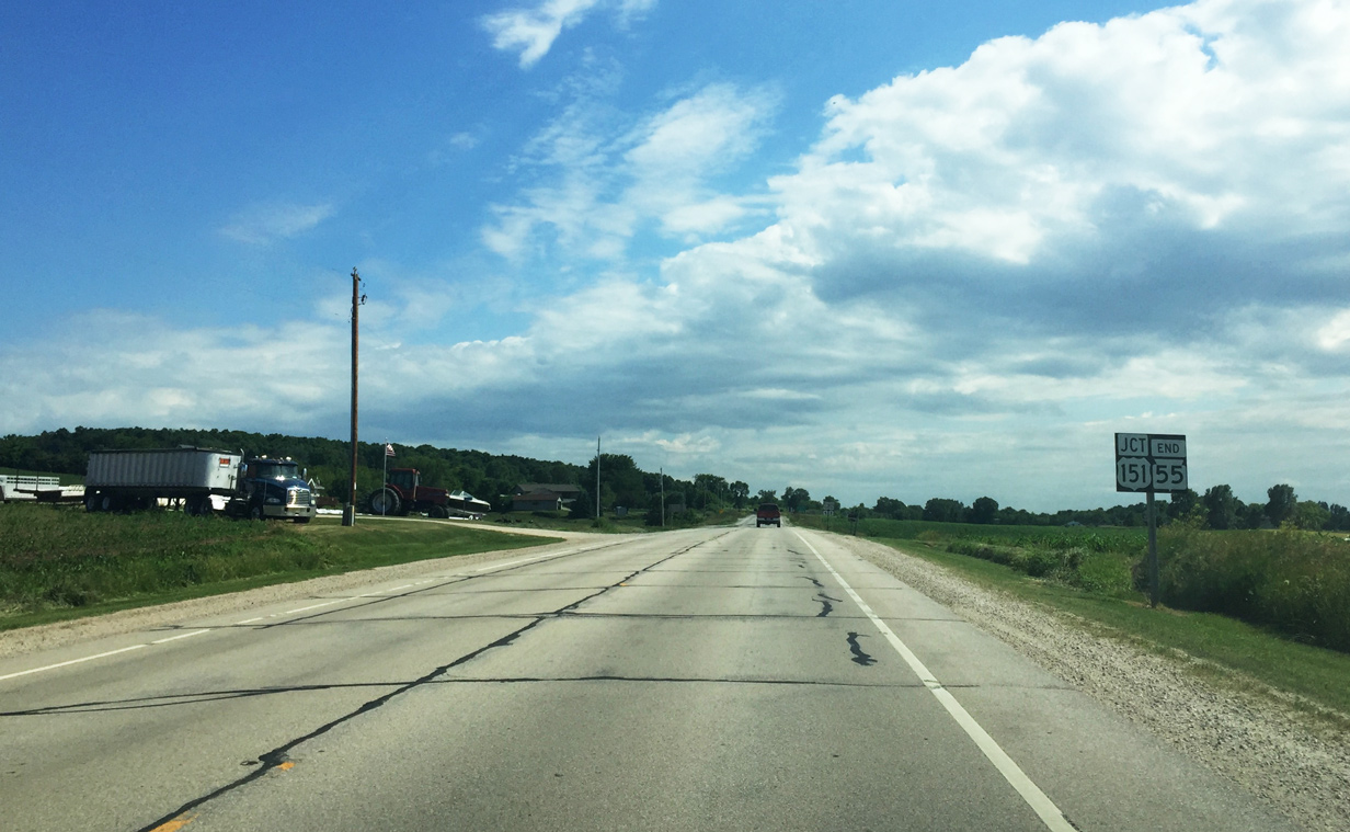
The 176 mile long route of STH 55 concludes at U.S. 151.
06/22/16
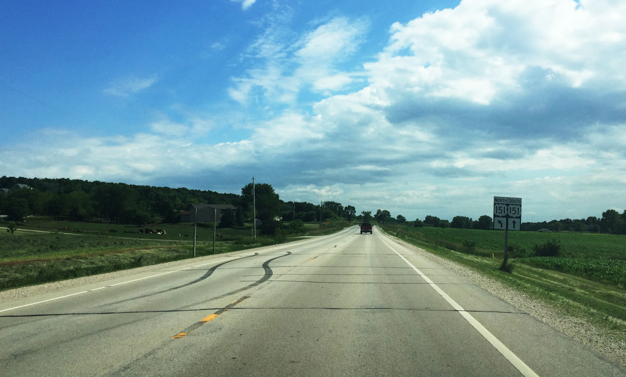
U.S. 151 south continues straight ahead while a two lane connector branches east to reach U.S. 151 north.
06/22/16
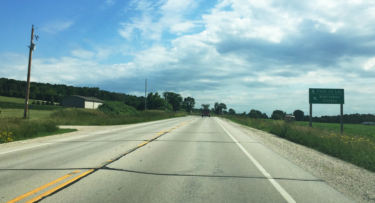
U.S. 151 heads 20 miles south to Fond du Lac and north eight miles to Chilton and 35 miles to Manitowoc. Chilton is at the crossroads with Wis 32 while Manitowoc, along Lake Michigan, is the northern terminus for the U.S. highway.
06/22/16
Wis 55 south ends as the spur connector leads to U.S. 151 north. Continue ahead to reach the wayside parking area.
06/22/16
References:
- Niagara Escarpment, New World Encyclopedia (newworldencyclopedia.org)
Photo Credits:
- Peter Johnson: 05/06/16, 06/22/16
Page Updated Tuesday July 12, 2016.