
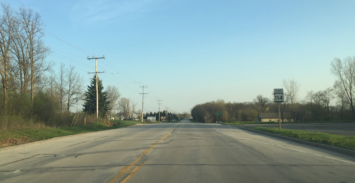
State Trunk Highway 114 East
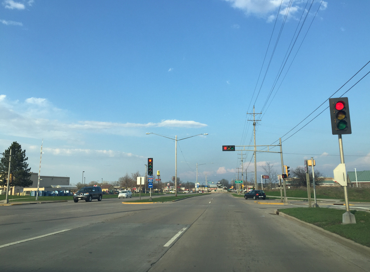
Wis 114 begins at the commercialized diamond interchange with Interstate 41 within the city of Neenah.
04/25/16
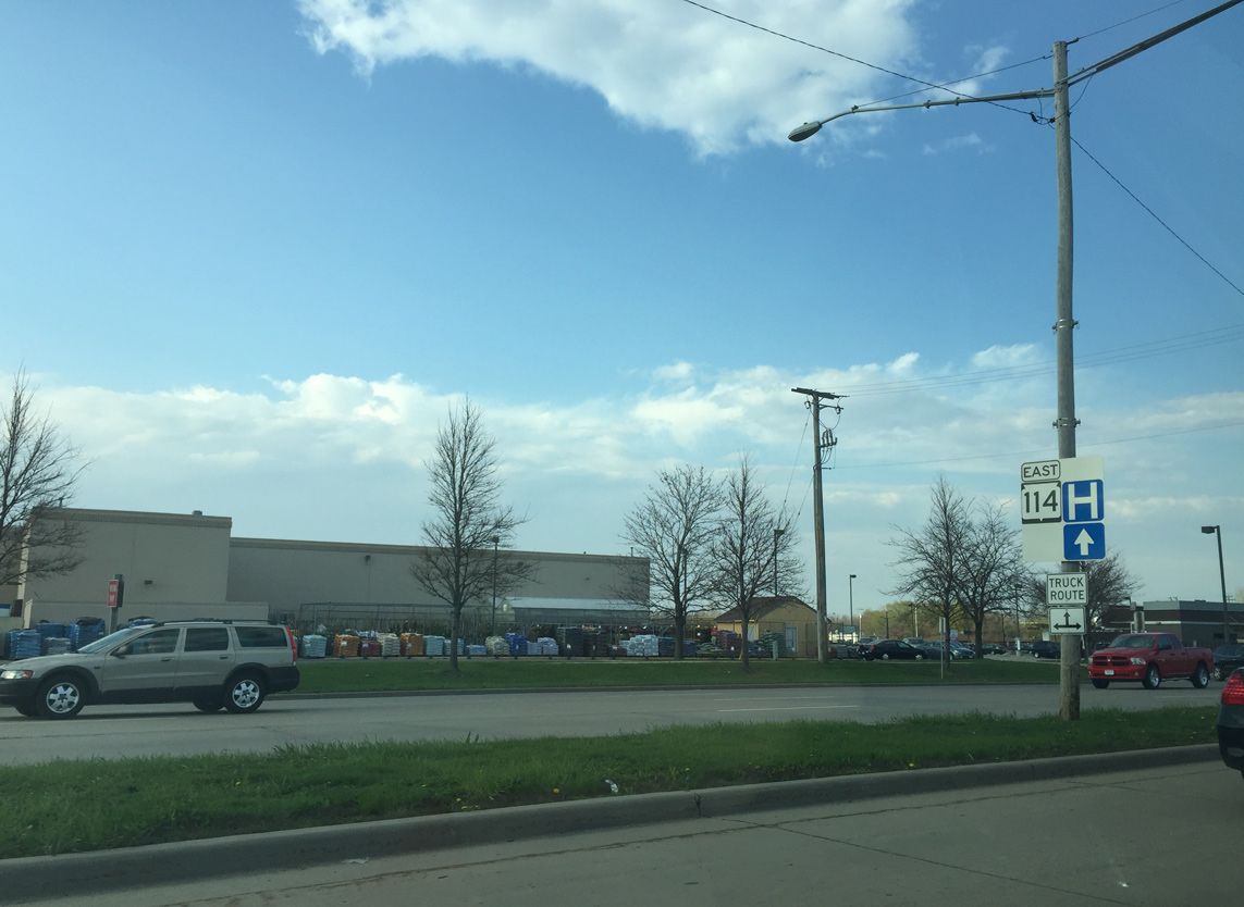
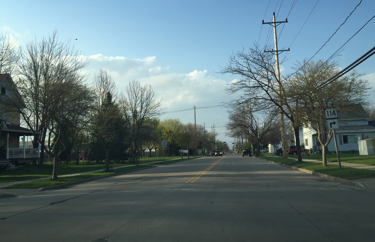
Although already wholly within the city of Neenah, an entrance sign for the southernmost Fox City stands along Wis 114 (Winneconne Avenue) east of I-41.
04/25/16
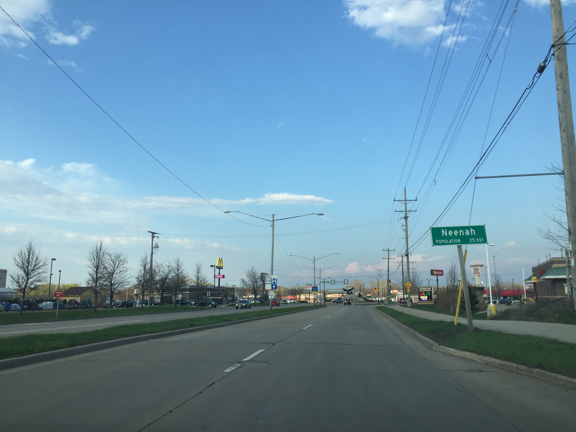
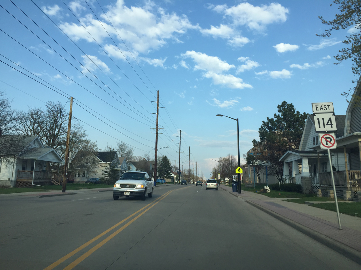
Although already wholly within the city of Neenah, an entrance sign for the municipality appears. The first Wis 114 reassurance sign stands within the median of Winneconne Avenue.
04/25/16

The intersection with Green Bay Road was reconstructed to a roundabout. The statue in the center was built to mark the gateway into the city.
04/25/16
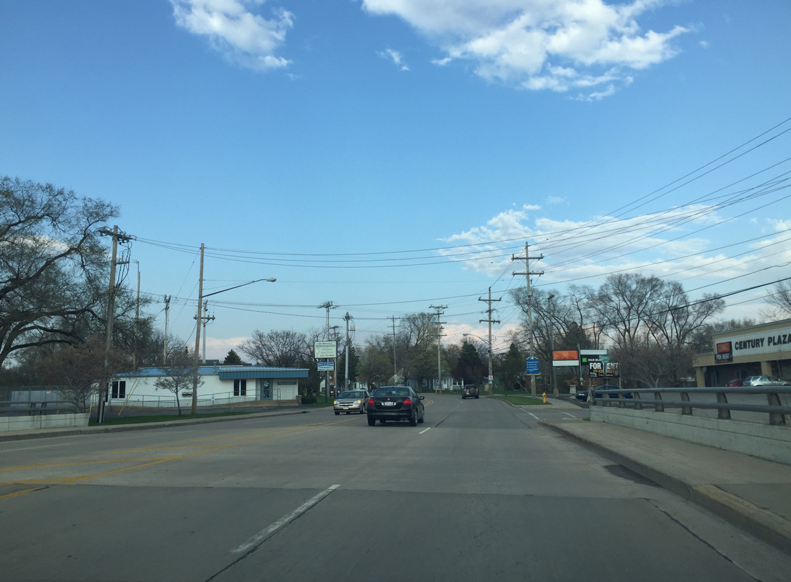
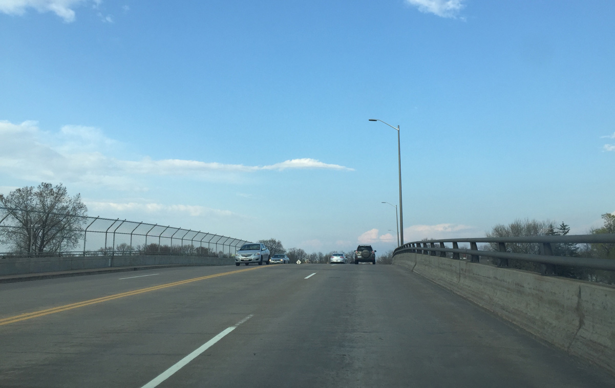
A second roundabout joins STH-114 with Lake Street ahead of the bridge across Neenah Slough. The trunk highway enters a residential area over the next half mile.
04/25/16
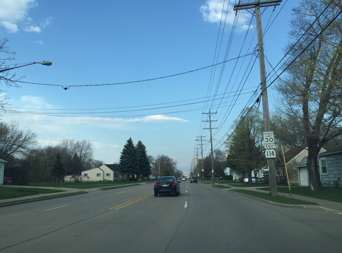
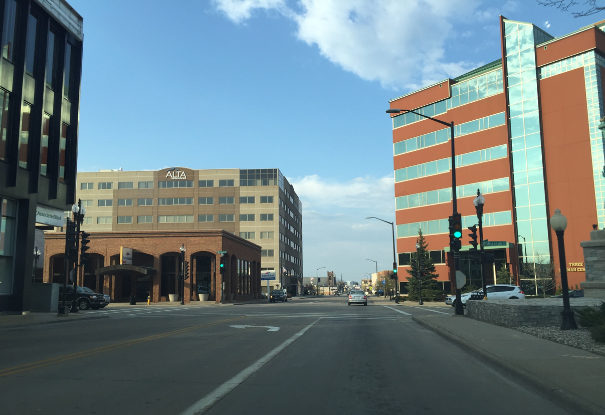
Wis 114 (Winneconne Avenue) continues east towards Downtown Neenah as a four lane undivided roadway.
04/25/16
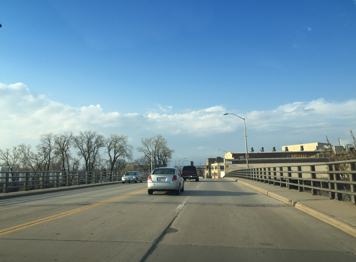
A viaduct carries STH-114 over a Canadian National Railroad between Harrison and Henry Streets.
04/25/16
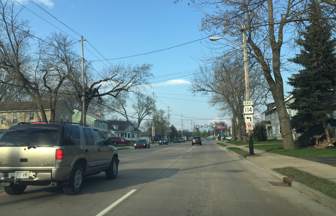
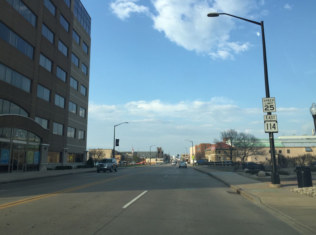
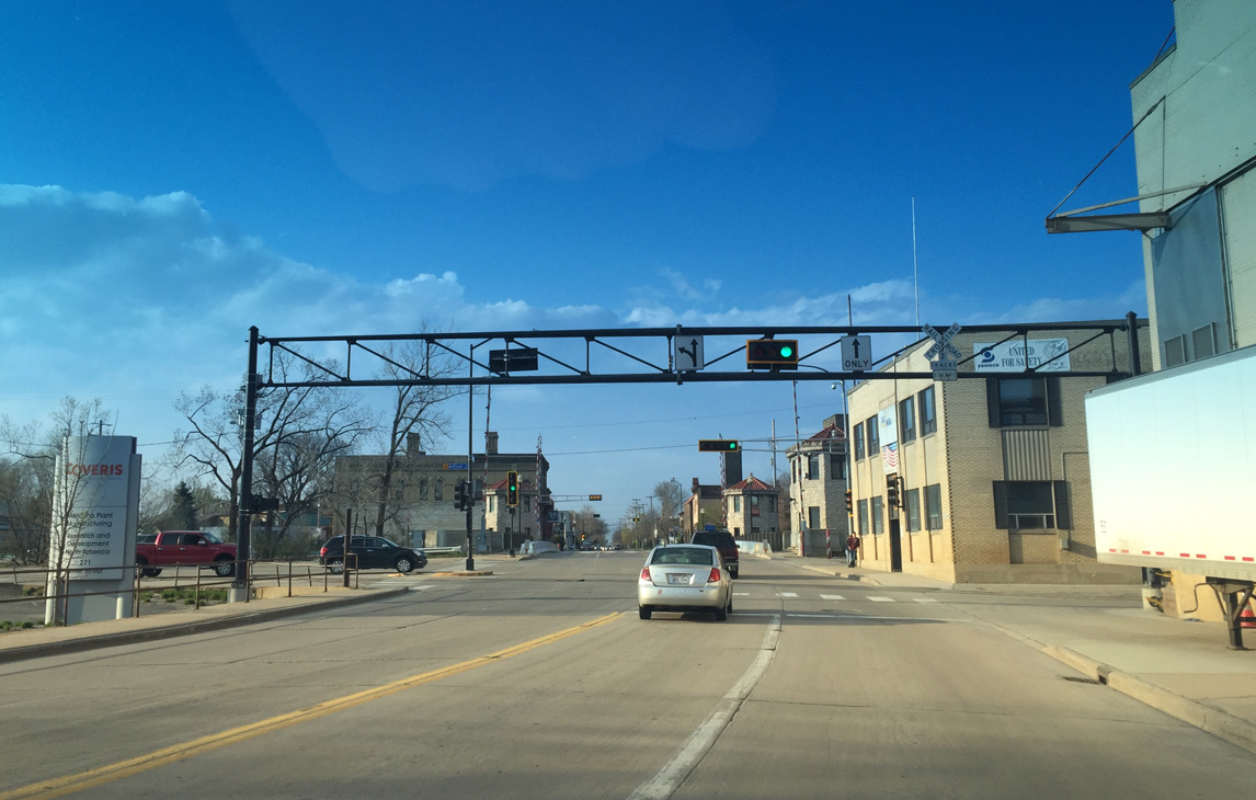
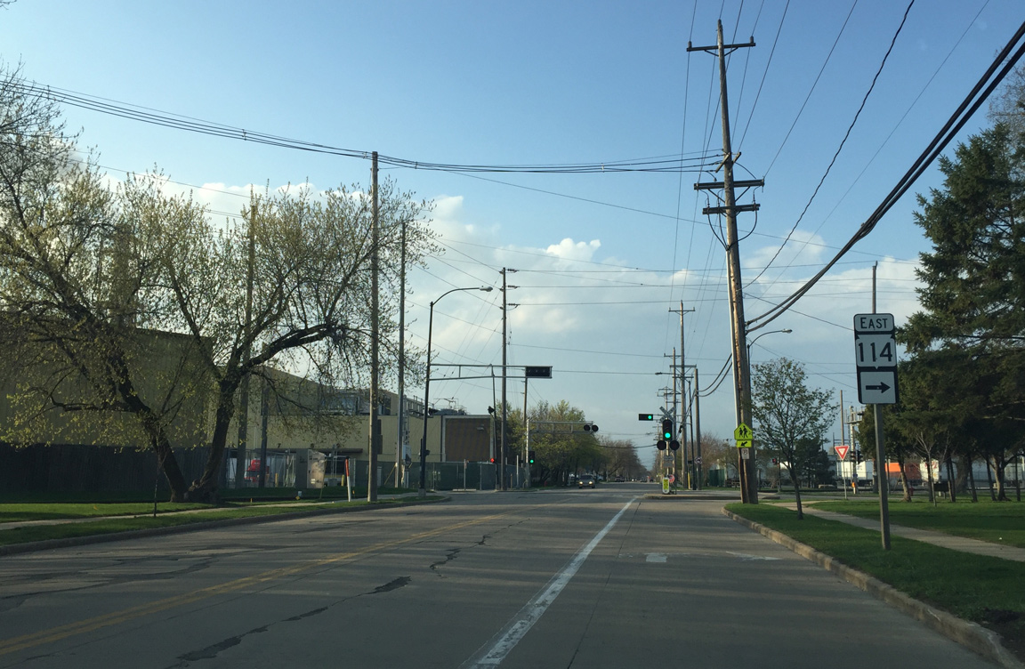
Wis 114 turns north onto Commercial Street at the ensuing traffic light.
04/25/16
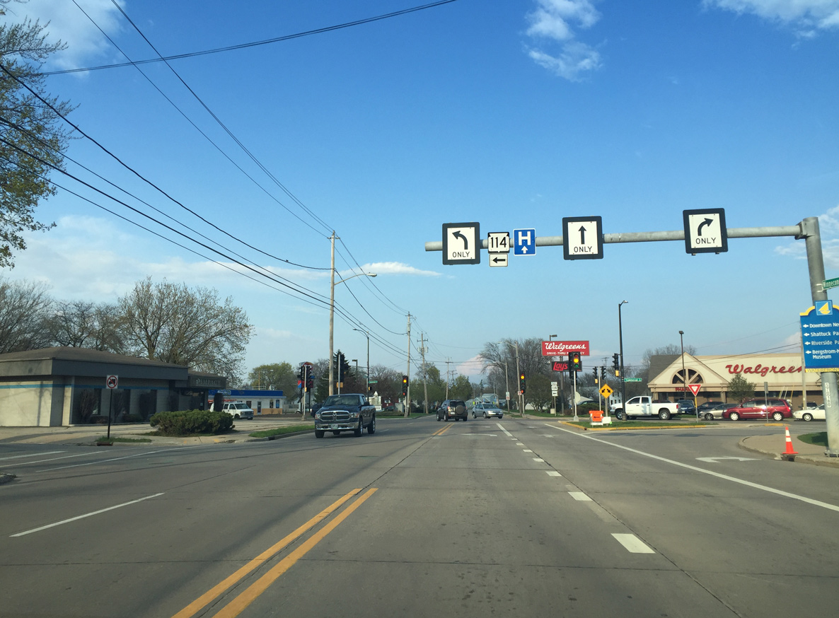
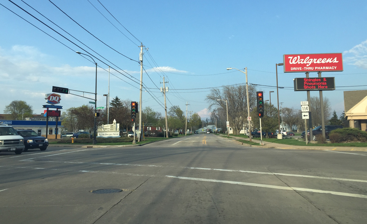
Overhead lane signs and an extra Wis 114 shield precede the northward turn onto Commercial Street. Winneconne Avenue extends east to Walnut Street as a local roadway.
04/25/16
Wis 114 north at Commercial Street. Commercial Street south is the former route of County A to the city line near Adelia Beach.
04/25/16
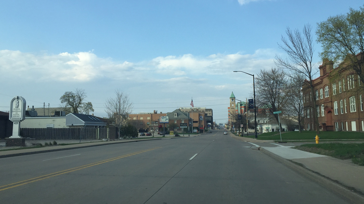
Commercial Street takes Wis 114 northeast towards Downtown Neenah.
04/25/16
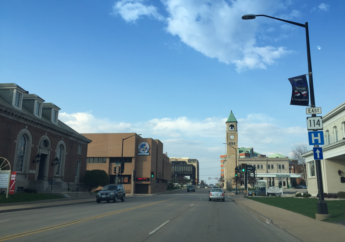
Neenah's old city hall clock tower still stands as a landmark in Downtown. The rear of the building was torn down.
Note also the traffic signal at the adjacent intersection with Columbian Avenue mounted to a building.
04/25/16
Wis 114 (Commercial Street) passes by the Neenah Place towers beyond Wisconsin Avenue in Downtown.
04/25/16
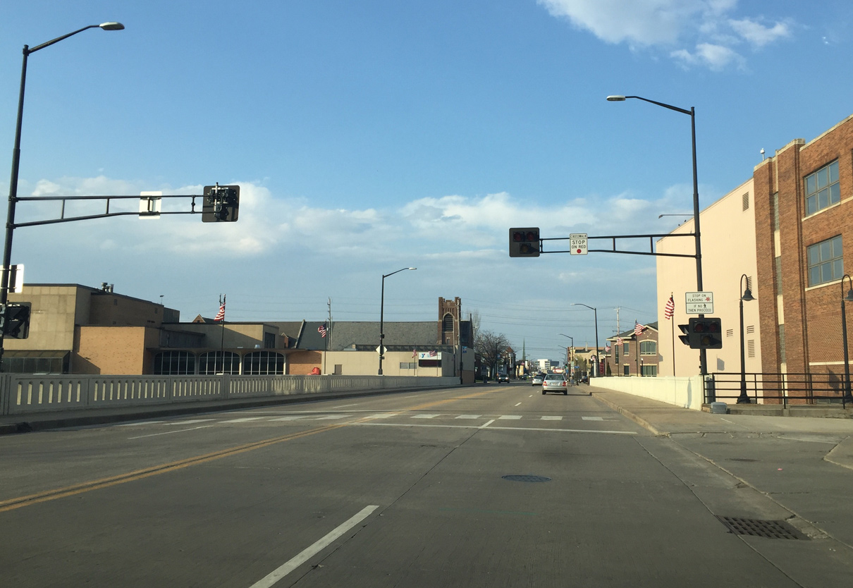
Wis 114 crosses a small canal north of Wisconsin Avenue.
04/25/16
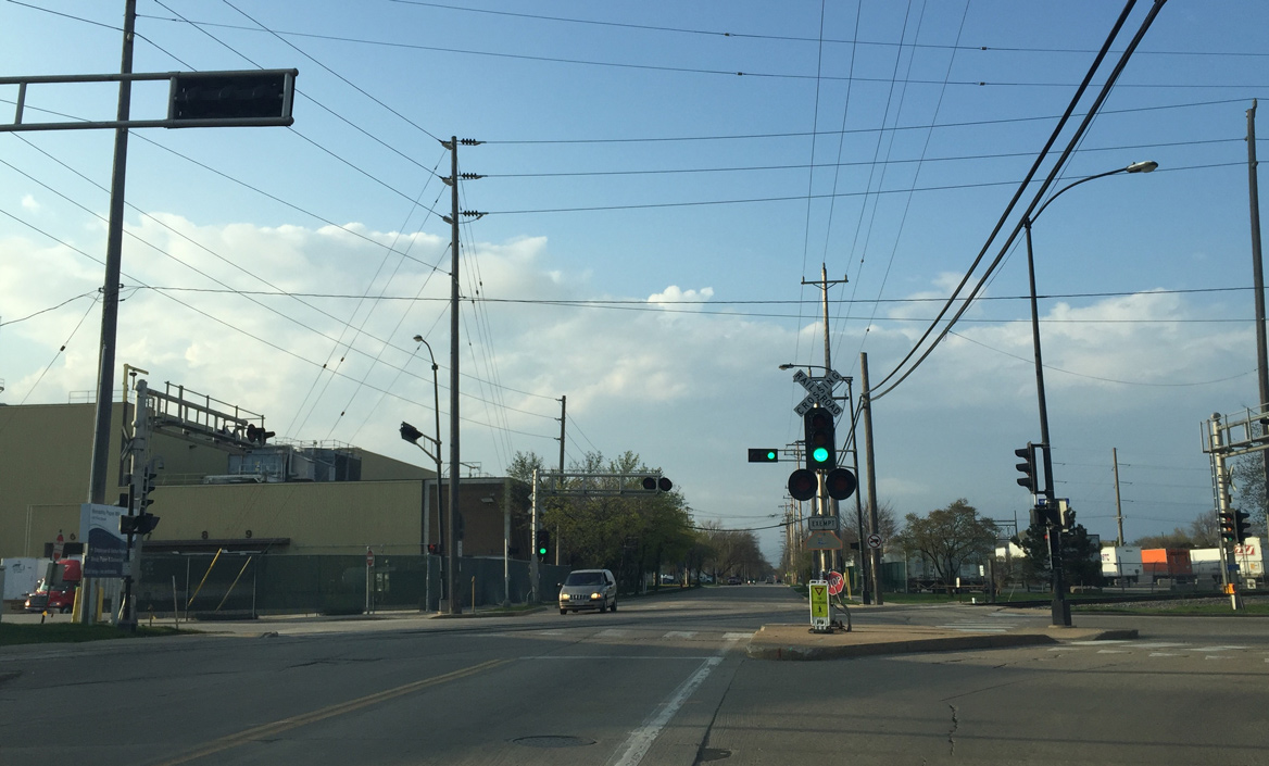
A HAWK signal protects pedestrians crossing from a parking lot to a paper mill. Wis 114 then crosses the southern split of the Fox River onto Doty Island. Doty Island is formed by the Fox River splitting between Little Lake Butte des Morts and Lake Winnebago.
04/25/16
Commercial Street lives up to its name across Doty Island in this scene north of Forest Avenue.
04/25/16
Crossing the northern split of the Fox River into the city of Menasha on STH-114 east.
04/25/16
Wis 114 intersects River Street and crosses a railroad spur into a paper mill on the subsequent island.
04/25/16
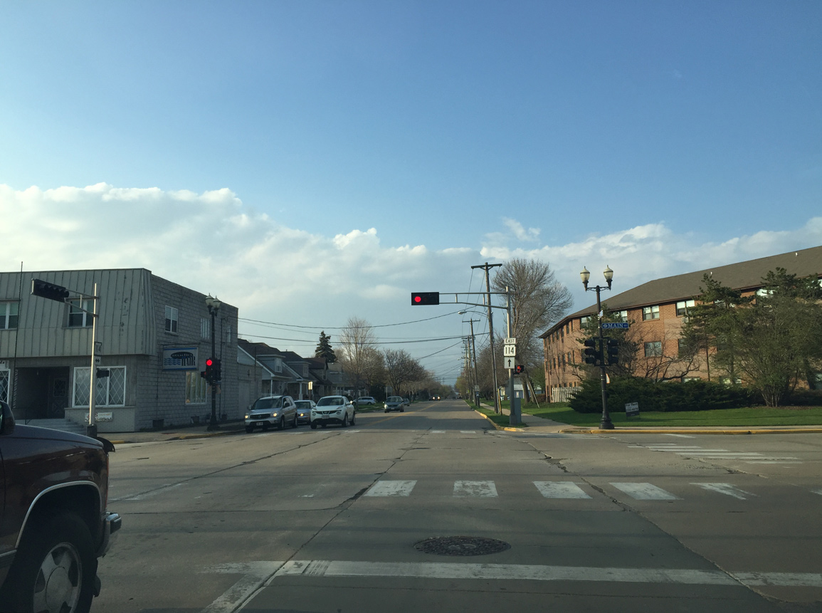
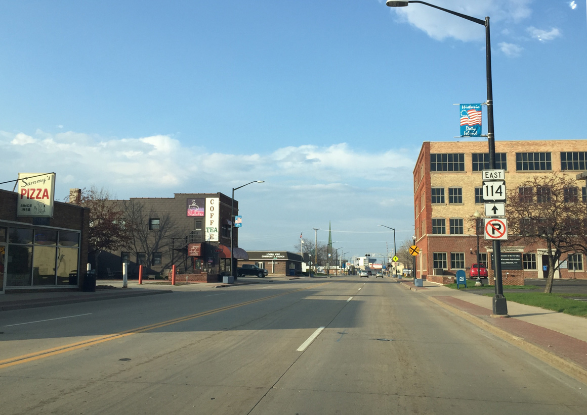
Main St leads northeast from Wis 114 (Tayco Street) into Downtown Menasha.
04/25/16
Wis 114 (Tayco Street) reduces to two lanes north of Main Street.
04/25/16
Four blocks further north, Wis 114 turns east onto 3rd Street.
04/25/16
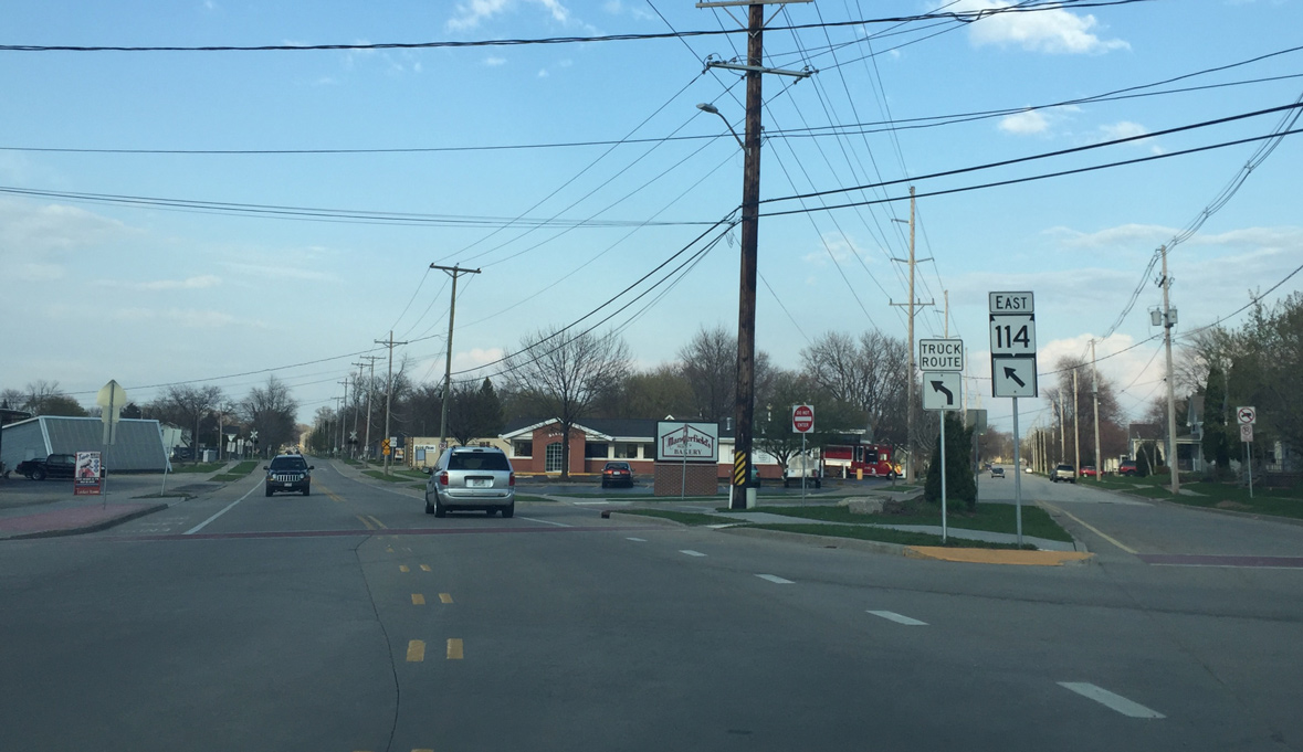
Wis 114 lines 3rd Street five blocks east to Manitowoc Street.
04/25/16
A dedicated right turn lane bypasses the upcoming railroad tracks that angles across the intersection of 3rd and Tayco Streets.
04/25/16
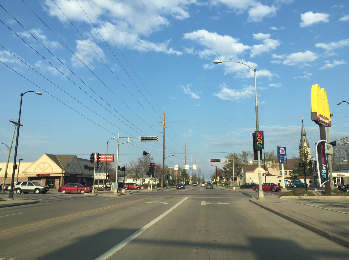
Now facing east, STH-114 (3rd Street) enters the signalized intersection with Racine Street. Racine Street was the lone eastern connection to Wis 441 when it only existed as a bridge across Little Lake Butte des Morts.
04/25/16
Wis 114 expands to four lanes again east of Racine Street.
04/25/16
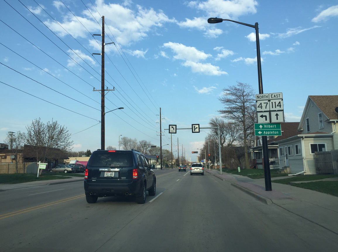
Wis 47 begins ahead at DePere Street and heads through central Appleton. The lengthy state trunk highway concludes at Manitowish in the Wisconsin Northwoods.
04/25/16
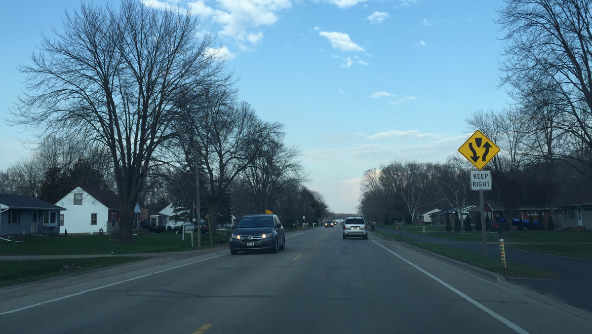
3rd Street spurs east to Jefferson Park and Brighton Beach as a local road while Wis 114 turns northeast onto Plank Road and loses a lane.
04/25/16
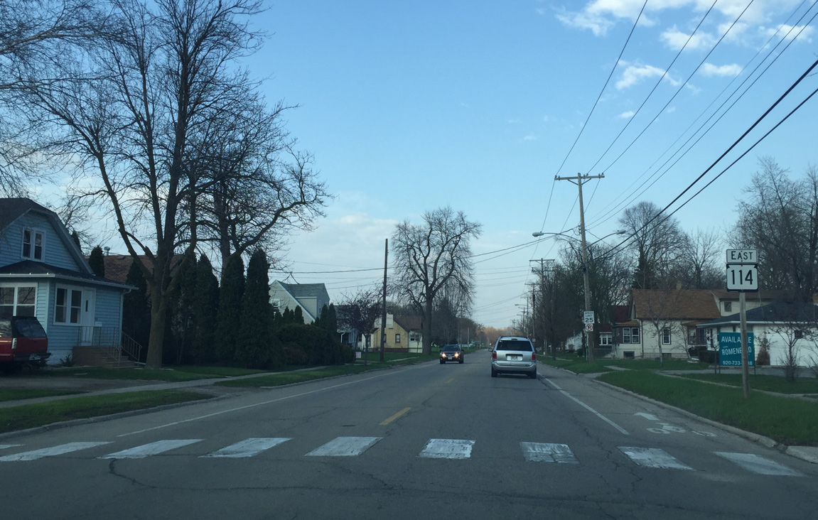
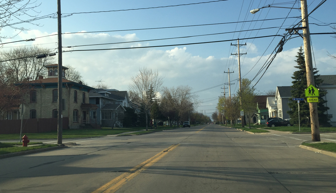
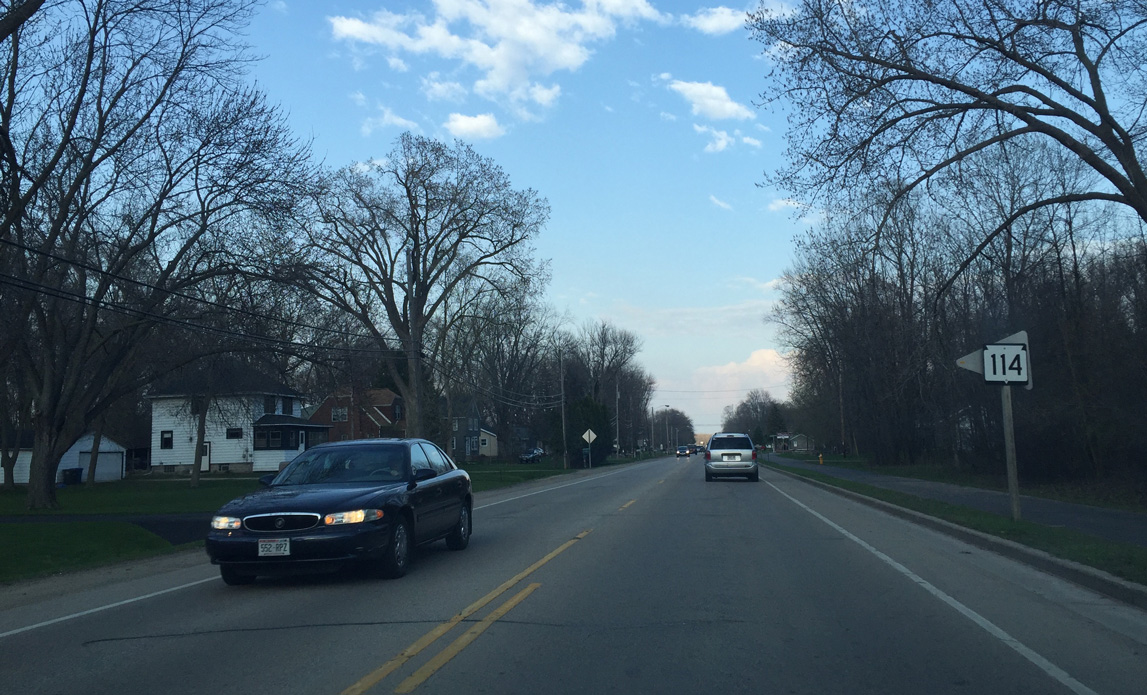
Wis 114 (Plank Road) passes through a residential area. A reassurance marker appears at Konemac Street.
04/25/16
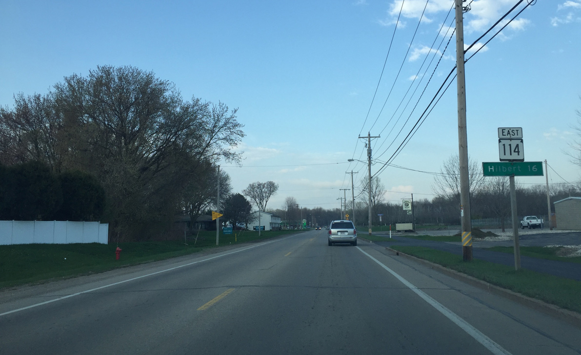
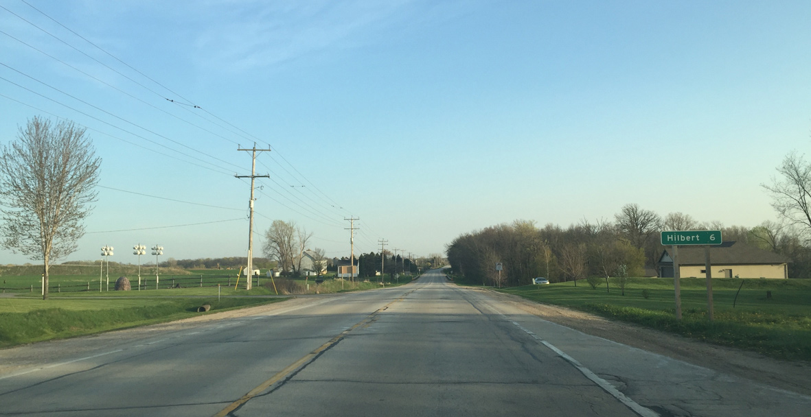
Hilbert and the end of Wis 114 is 16 miles away.
04/25/16
The Friendship Trail runs alongside Wis 114. Long term plans call for the trail to extend from Stevens Point to Manitowoc, mainly following U.S. 10.
04/25/16
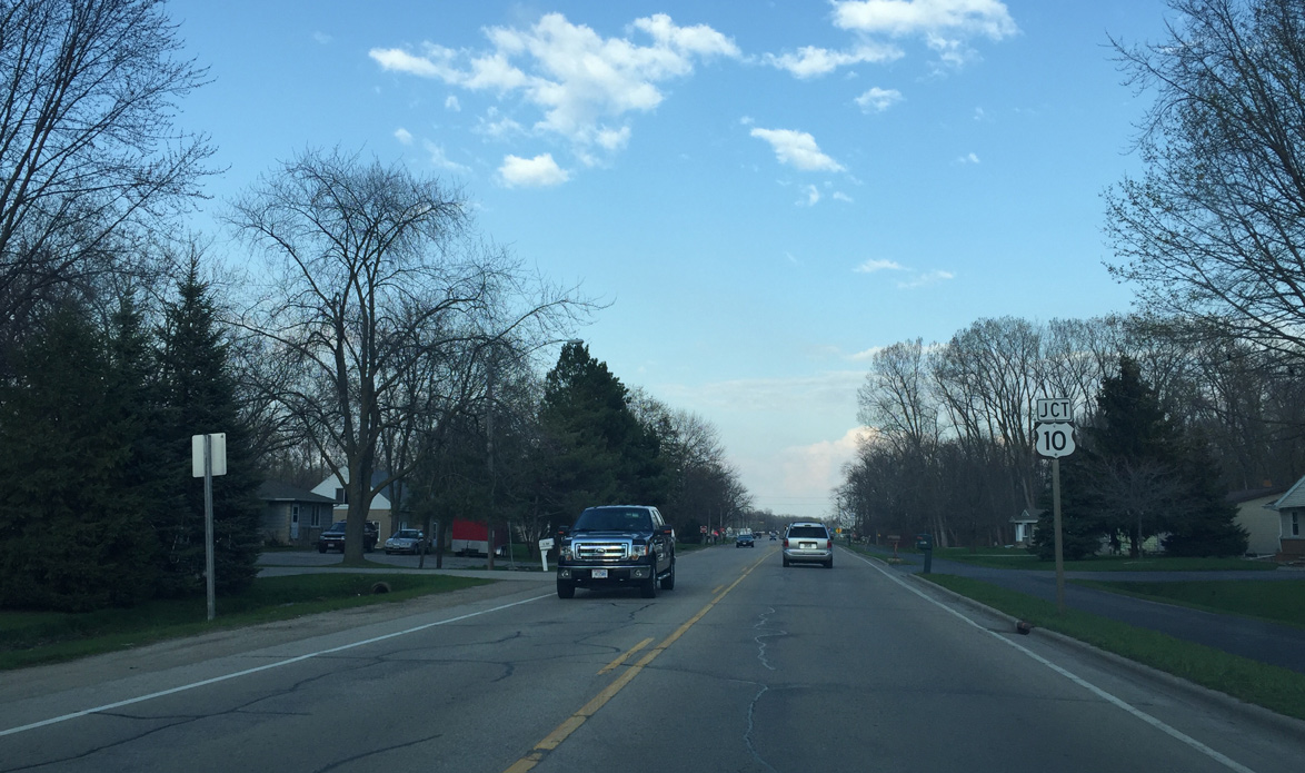
Wis 114 becomes a divided roadway ahead as it approaches U.S. 10.
04/25/16
Upcoming U.S. 10 travels north along Oneida Street on the Calumet / Winnebago County line to Wis 441 (Tri County Freeway).
04/25/16

U.S. 10 east runs concurrent with Wis 114 along the northern periphery of Lake Winnebago to the village of Harrison.
04/25/16
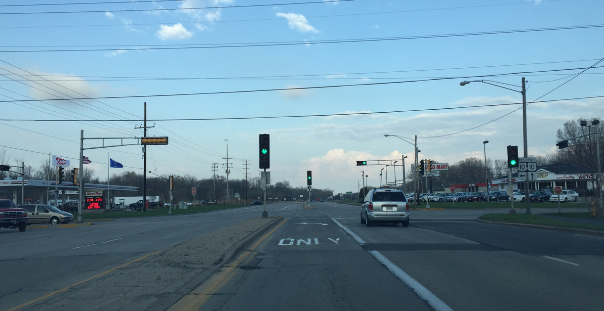
Oneida Street provides a direct route to Downtown Appleton from Wis 114. U.S. 10 bypasses the city center via Wis 441 west to its own freeway beyond Interstate 41.
04/25/16
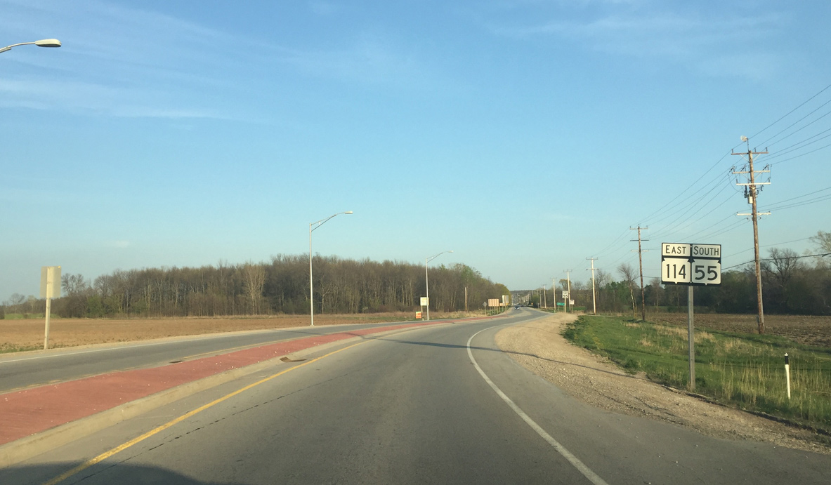
Passing by the first set of shields for Wis 55/114 as the trunk highways angle southeast from their merge.
05/06/16
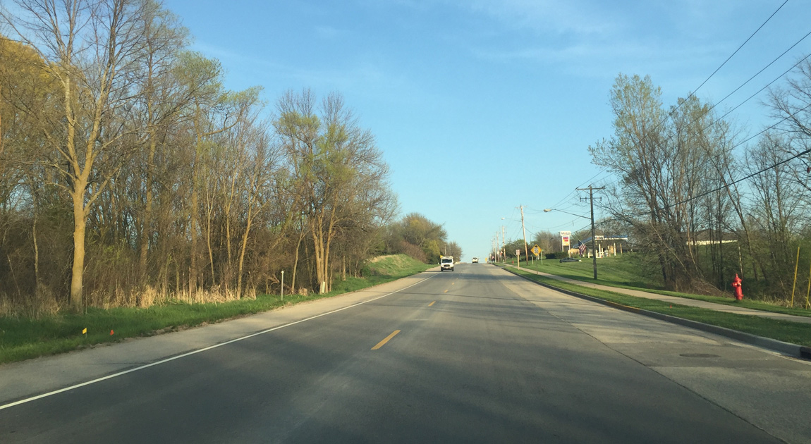
Ascending on a hill that makes up High Cliff to the south on STH 55/114. The hill is part of the Niagara Escarpment.
05/06/16
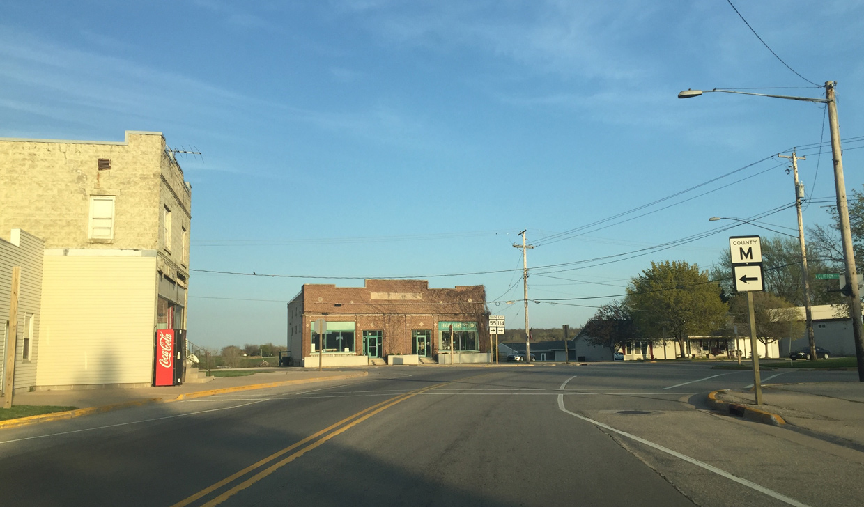
County M heads northeast to connect Sherwood with U.S. 10 east.
05/06/16
Leaving the Sherwood business district along Wis 55/114 (Military Road) east.
05/06/16
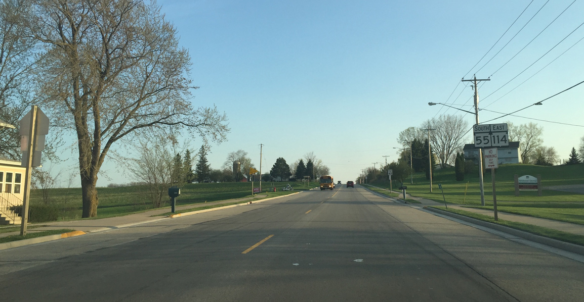
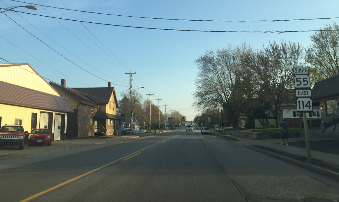
Travelers pass by the final reassurance markers for Wis 55 south / Wis 114 east beyond County B.
05/06/16
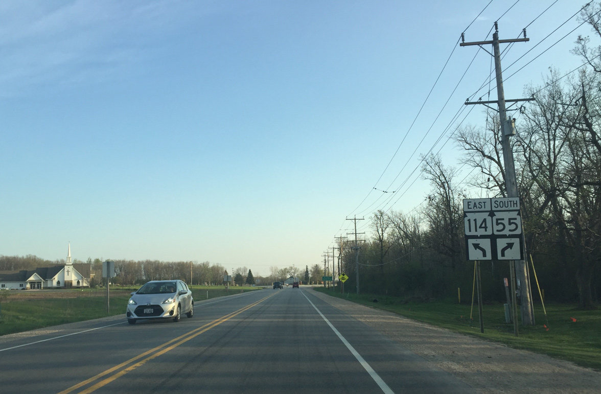
A short distance further, Wis 55 south branches to the southwest from Wis 114. High Cliff Road ties into the pending split from High Cliff State Park to the west.
05/06/16
Gore point of Wis 114 and Wis 55. STH-55 south continues 11.8 miles to an end near Quinney.
05/06/16
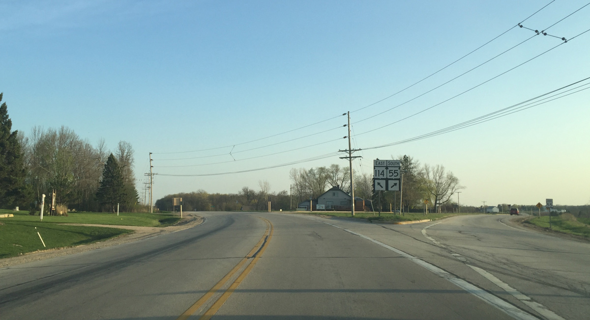
Reassurance marker posted for Wis 114 as it leads away from Wis 55.
05/06/16
STH-114 continues another 6.4 miles to end at STH-32/57 in the village of Hilbert.
05/06/16

Wis 114 heads due south another 1.5 miles through rural Calumet County.
05/06/16
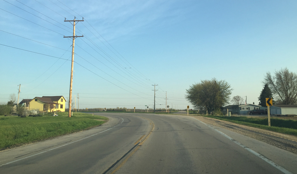
Wis 114 curves sharply at Kees Road to run along a section line east to Hilbert.
05/06/16
Photo Credits:
- Peter Johnson: 04/25/16, 05/06/16
Page Updated Friday June 10, 2016.