
Route 9

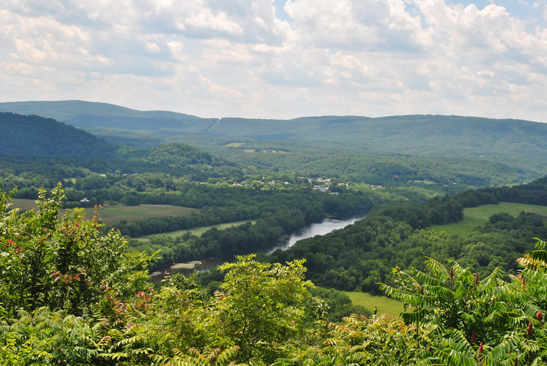
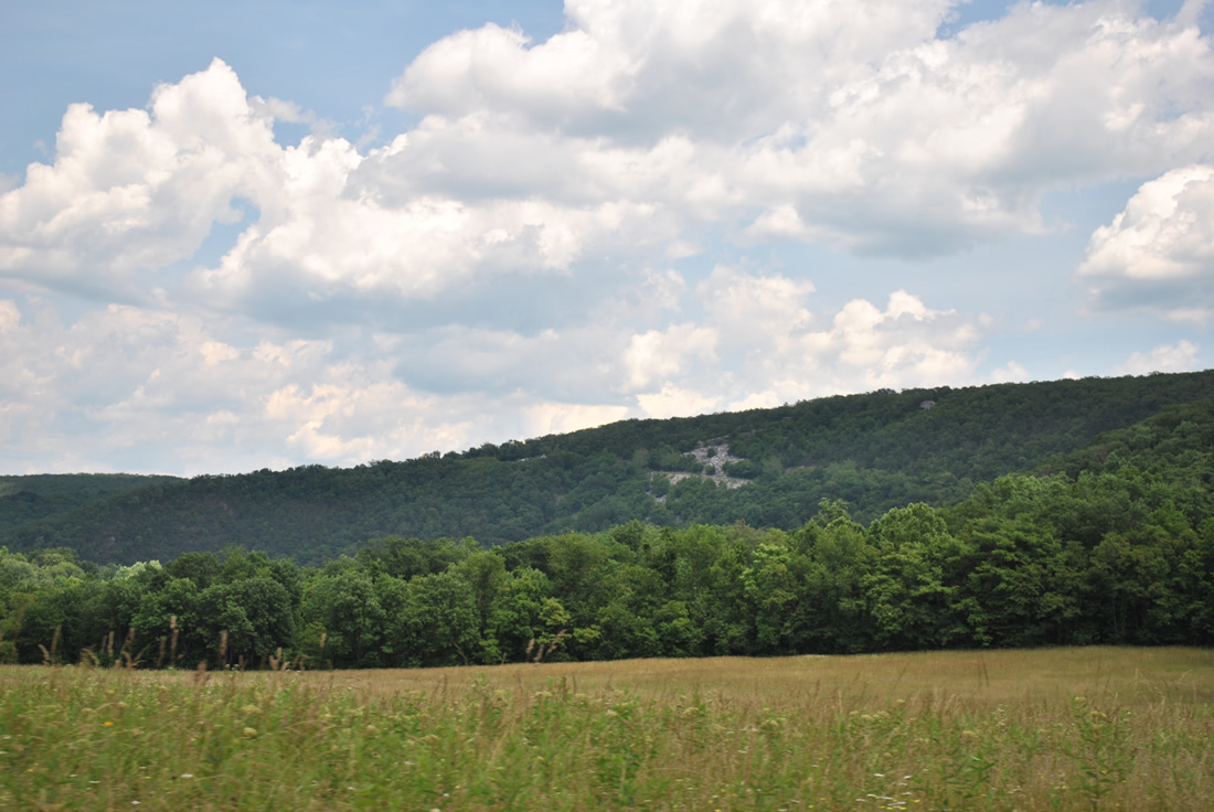
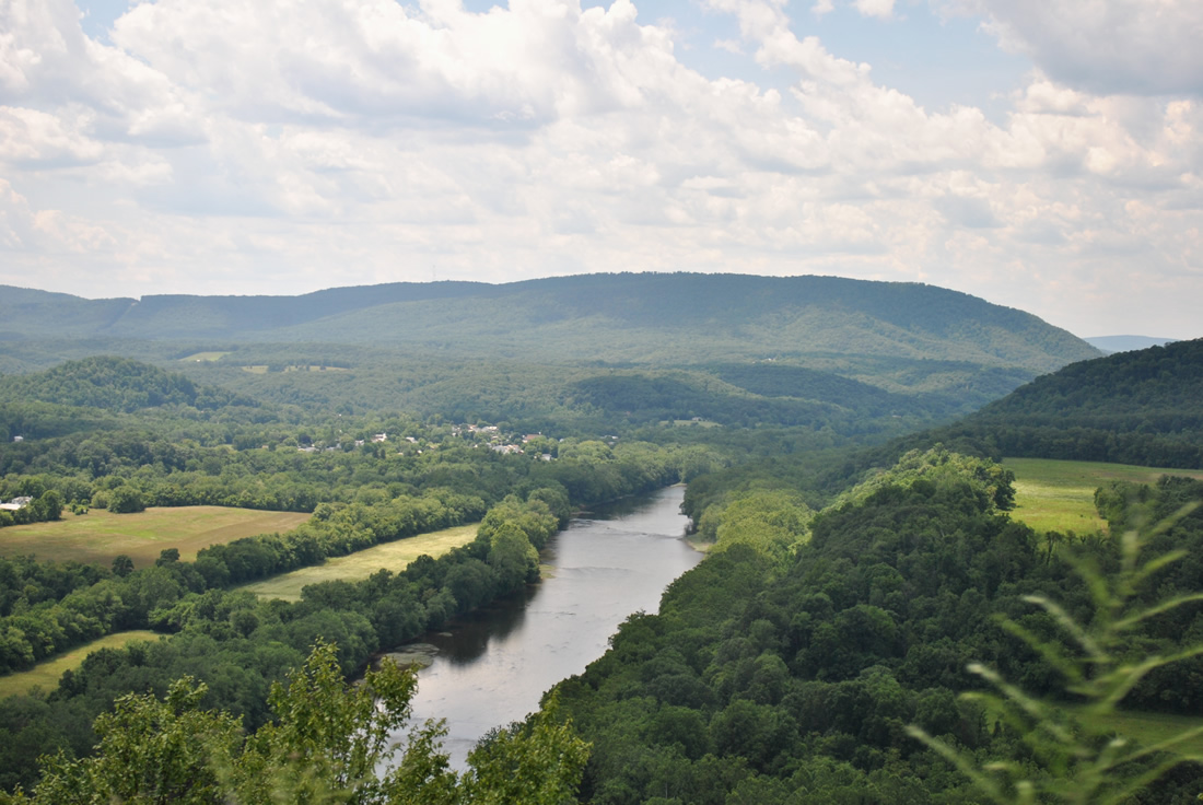
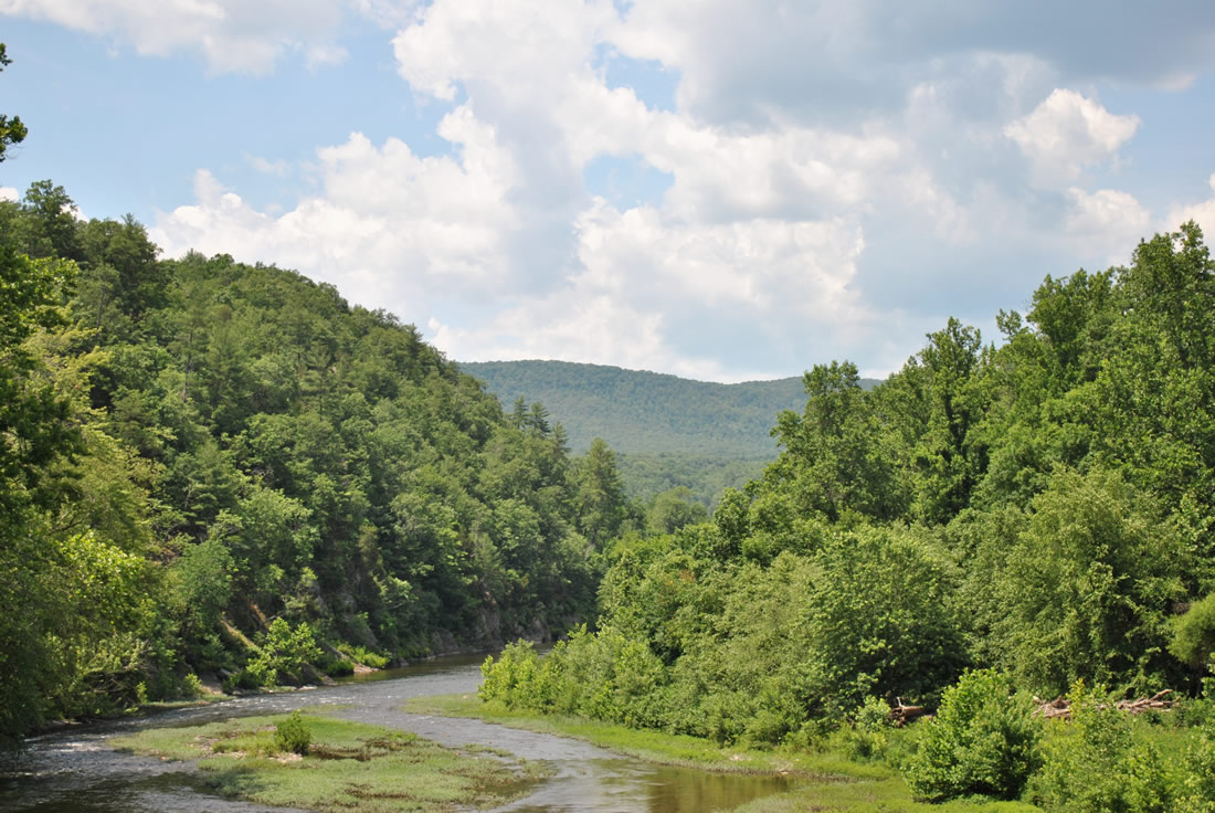
A scenic pull off overlooks the Potomac River from Cacapon Mountain. Within view is the community of Great Cacapon in the foreground and Sideling Hill on the horizon. - 06/08/2012
WV 9 exists as three distinct routes. Between Paw Paw and Martinsburg, the state route follows a two-lane and generally winding road across a series of mountains. Once in the Martinsburg area, WV 9 travels a commercial arterial to Queen Street and the city street grid. East from U.S. 11, the state route joins an expressway alignment to the Charles Town bypass (U.S. 340) and east to the Virginia state line.
Upgrades along Route 9 to expressway standards took place between 2008 and November 14, 2012 between U.S. 340 and Frederick County, Virginia.1 The section from U.S. 340 to the state line cost $153 million, including the $39.9 million Delta-Rahmen Bridge over the Shenandoah River. The span travels 200 feet above the river at a length of 1,650 feet.2
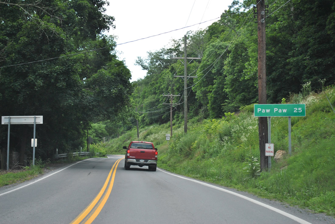
WV 9 (Cacapon Road) winds 25 miles west from Berkeley Springs to Paw Paw.
06/08/12
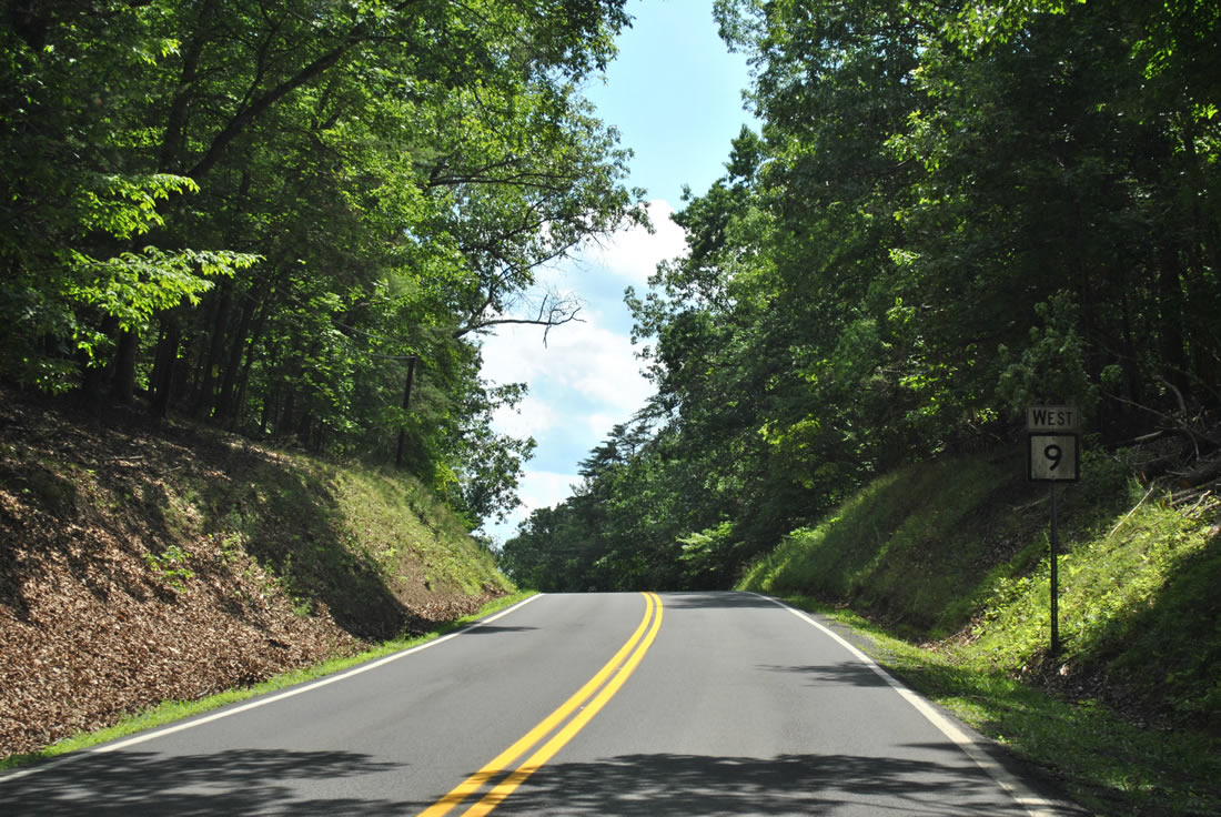
Motorists taking WV 9 out from Berkeley Springs climb onto Warm Spring Ridge by Berkeley Springs Castle.
06/08/12
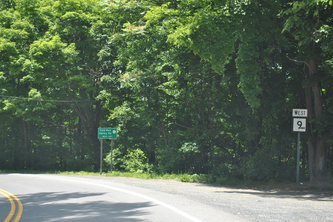
Cold Valley Road (CR 9/10) meanders south from WV 9 (Cacapon Road) along the west side of Warm Spring Ridge to U.S. 522 near Rock Gap.
06/08/12
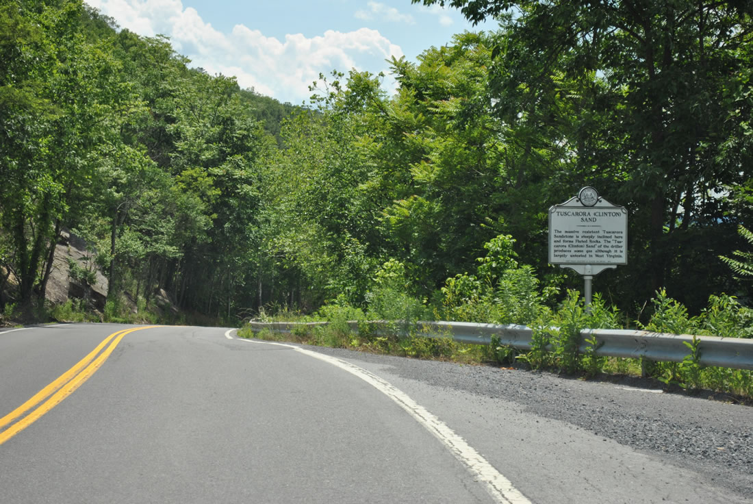
Descending from Cacapon Mountain, WV 9 comes close to the Potomac River ahead of the Fluted Rocks. The Fluted Rocks, which come into view alongside WV 9, are formed by Tuscarora Sandstone.
06/08/12
Motorists on WV 9 (Cacapon Road) touch down from Cacapon Mountain onto a flat area between the Cacapon and Potomac Rivers. A meadow lies between the state highway and the parallel CSX Railroad to the north.
06/08/12
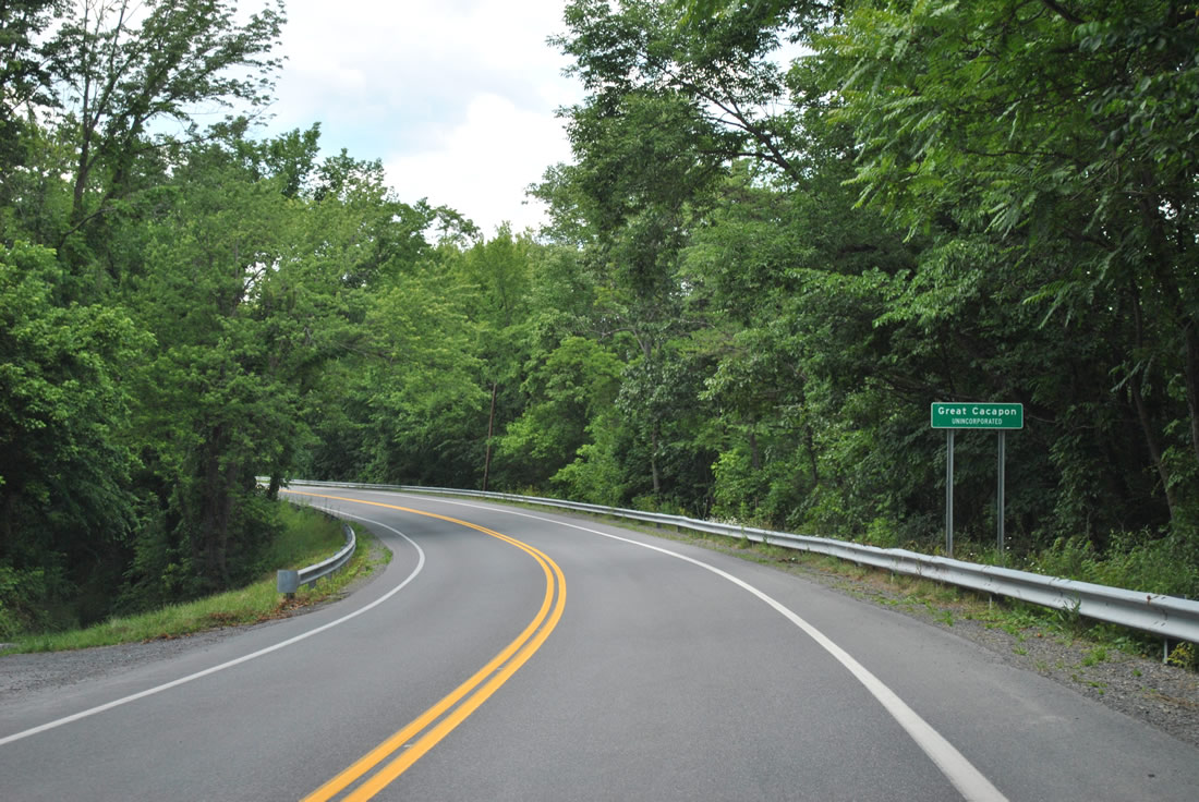
Great Cacapon, a community of less than 400, was founded as an old Baltimore and Ohio Railroad depot. WV 9 travels Central Avenue town.
06/08/12
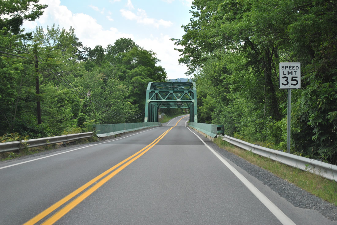
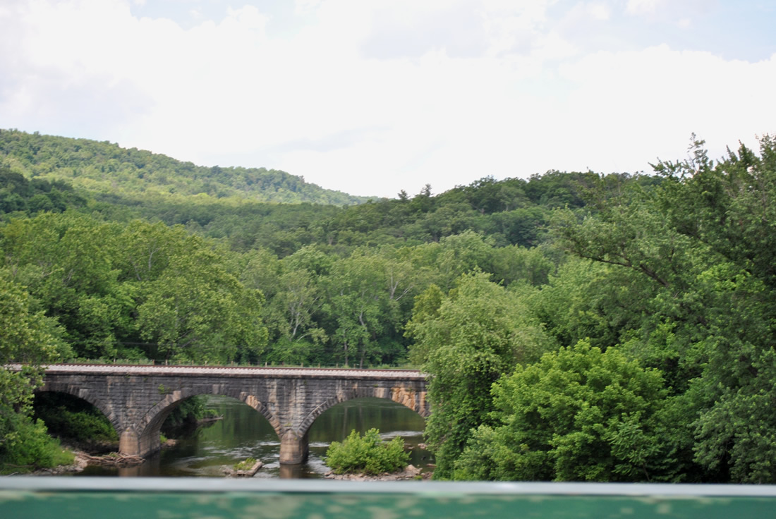
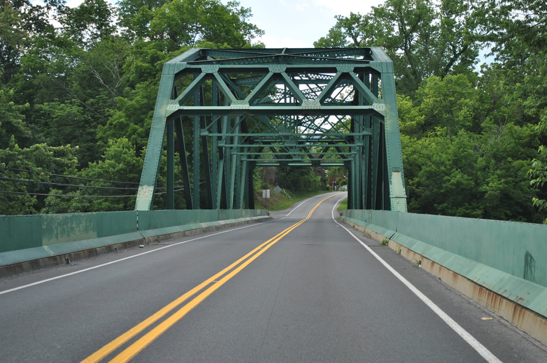
A steel truss bridge carries WV 9 across the Cacapon River.
06/08/12
The CSX Railroad crossing of the Cacapon River comes into view just north of WV 9.
06/08/12
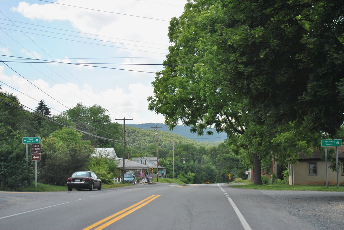
Rock Ford Road (CR 7) and Tonoloway Street (CR 9/39) come together at WV 9 (Central Avenue) in Great Cacapon.
06/08/12
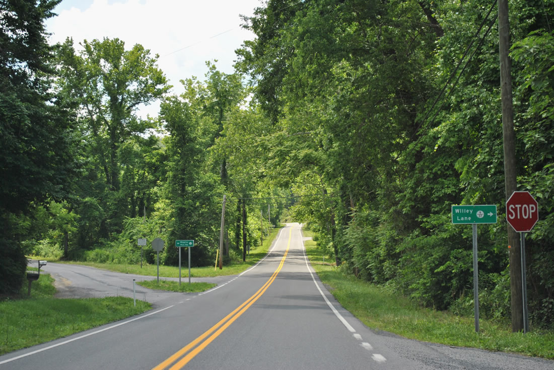
WV 9 turns southward again from Willey Lane (CR 9/37) and Wiggins Run Road (CR 9/22) in Great Cacapon. Both roads serve residential areas of the community.
06/08/12
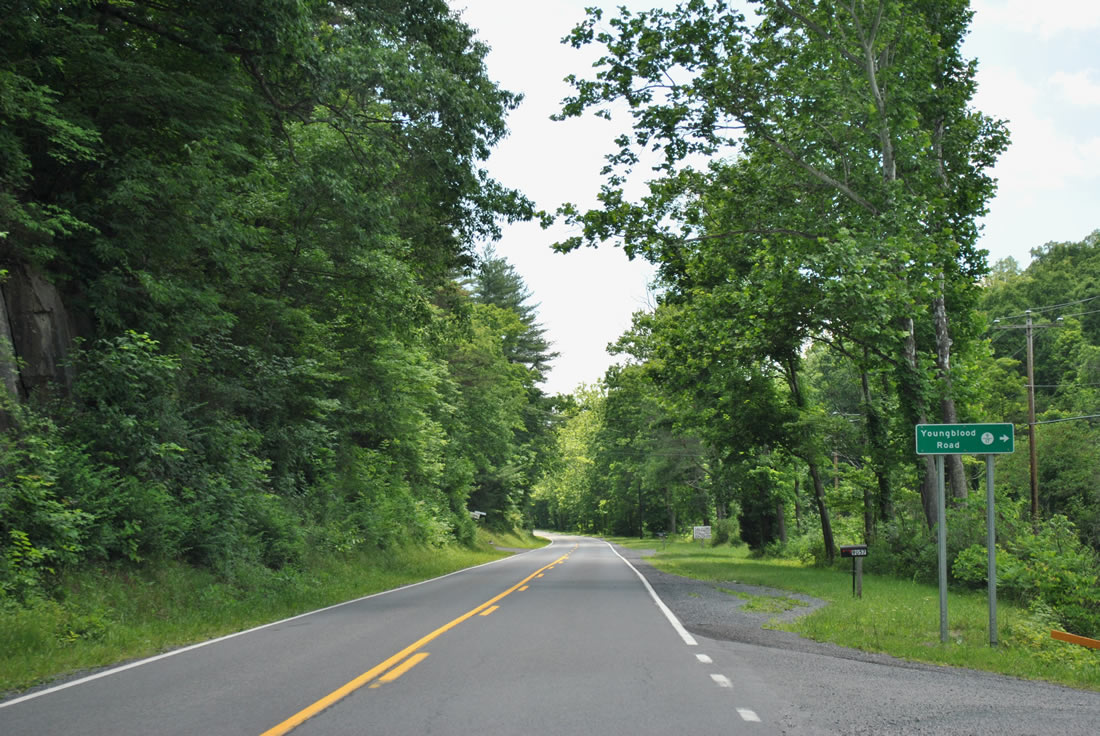
WV 9 lines the forested valley formed by Road and Tonoloway Ridges alongside Long Hollow Run to Youngblood Road (CR 9/17).
06/08/12
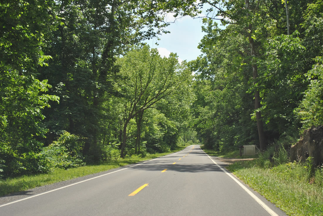
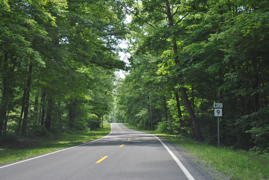
Continuing to the west of Tonoloway Ridge along WV 9 (Cacapon Road).
06/08/12
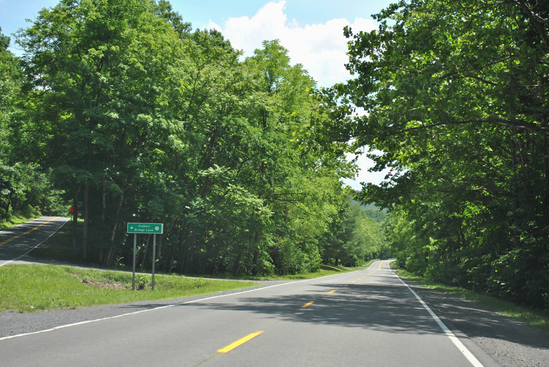
Fishers Bridge Lane (CR 9/2) branches south east from WV 9 to the Cacapon River just south of Tonoloway Ridge.
06/08/12

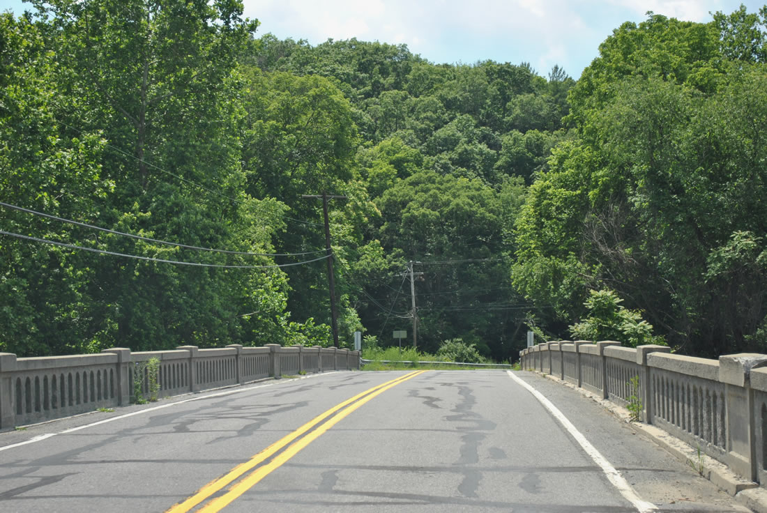
WV 9 (Cacapon Road) spans the Cacapon River for a second time on a nondescript bridge south of Tonoloway Ridge.
06/08/12
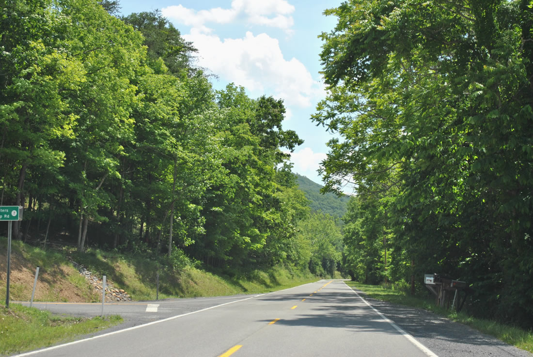
Hunters Camp Road (CR 7) spurs east from WV 9 to the river side just north of Little Mountain.
06/08/12
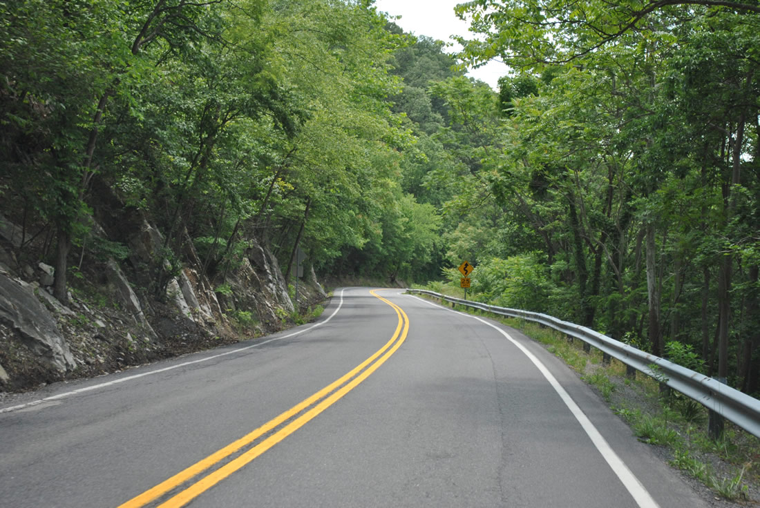
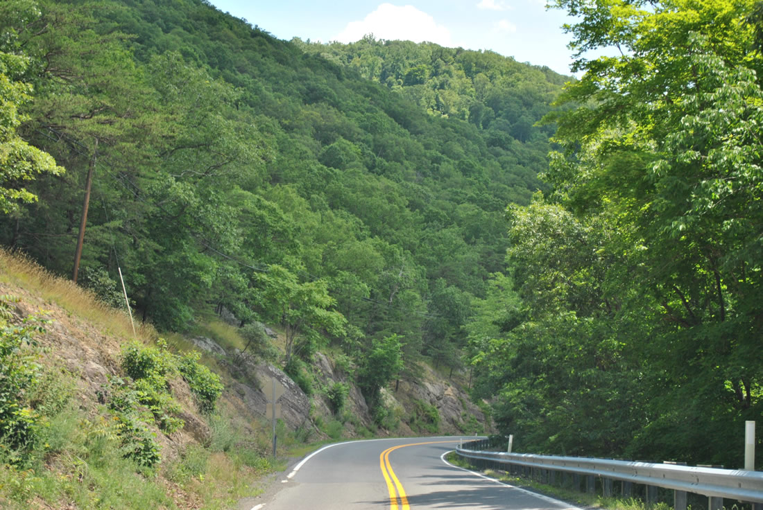
WV 9 hugs the hill side of Little Mountain above the Cacapon River along a winding stretch.
06/08/12
WV 9 shield assembly posted after Lindsay Lane. The road is much less curvy as it leaves Little Mountain toward Largent.
06/08/12
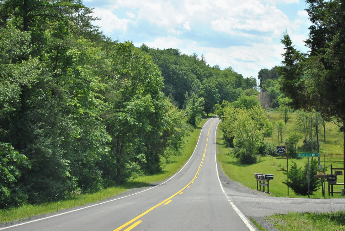
Oliver Lane (CR 9/30) spurs west from WV 9 (Cacapon Road) toward a handful of residences on the Cacapon River.
06/08/12
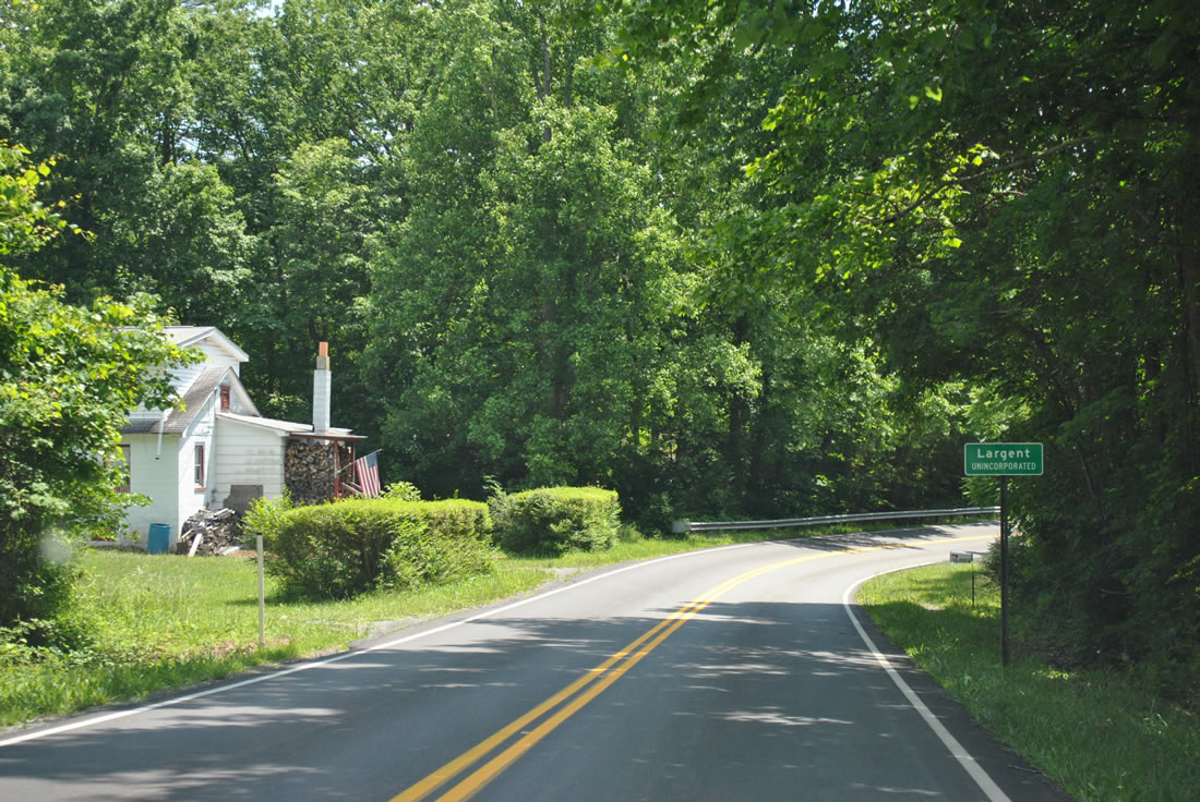
Drivers along WV 9 west reach the unincorported settlement of Largent.
06/08/12
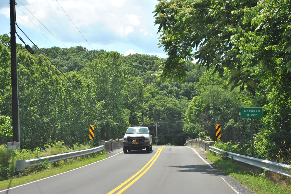
The third and final crossing of the Cacapon River is just west of Largent on WV 9.
06/08/12

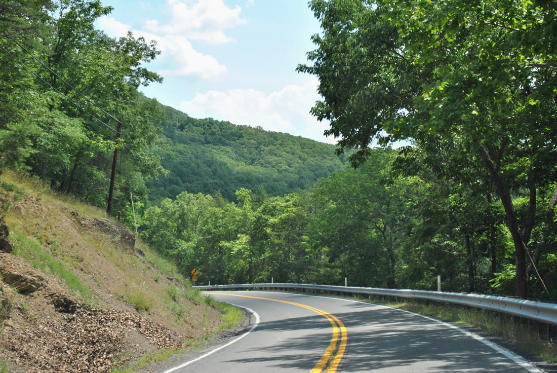
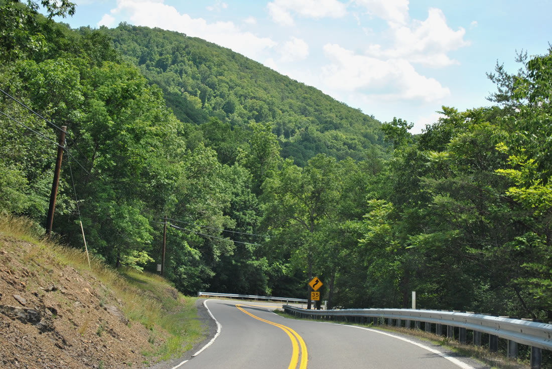
WV 9 west rises again on the climb over Sideling Hill.
06/08/12
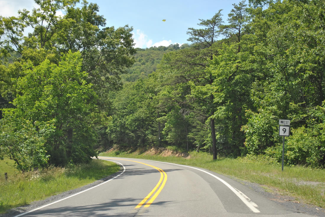
Angling southwest from Milo School Road over Sideling Hill, drivers see this shield assembly.
06/08/12
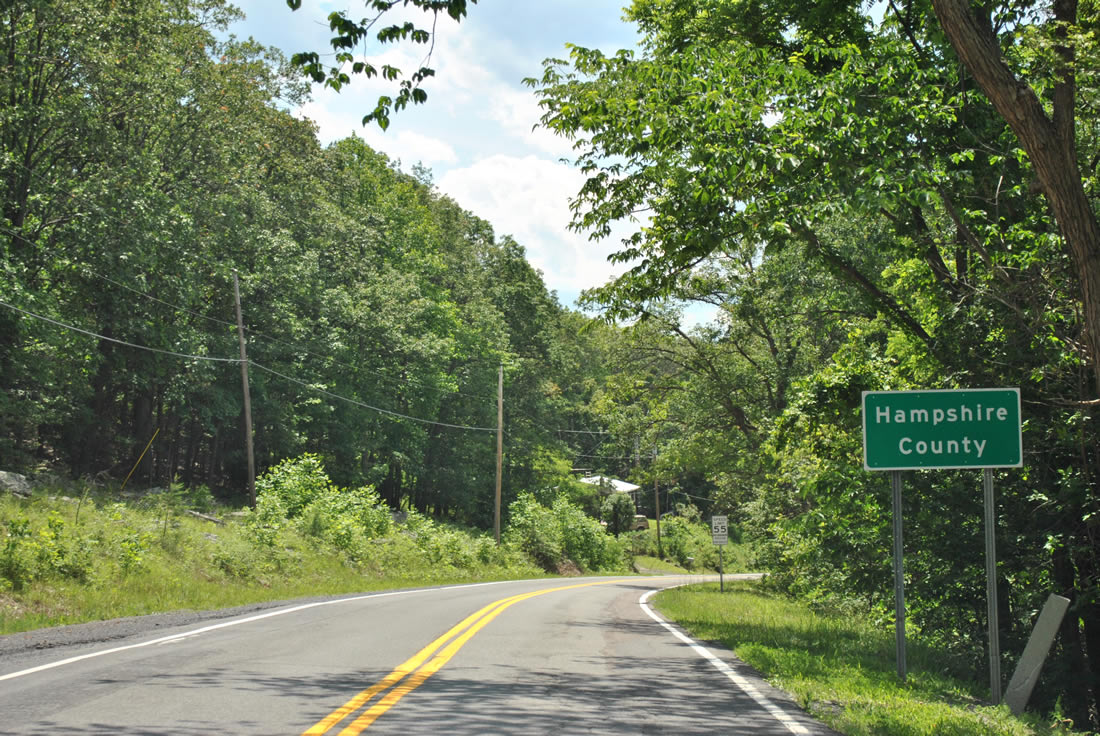
WV 9 (Cacapon Road) nips a portion of Hampshire County while cresting over Sideling Hill.
06/08/12
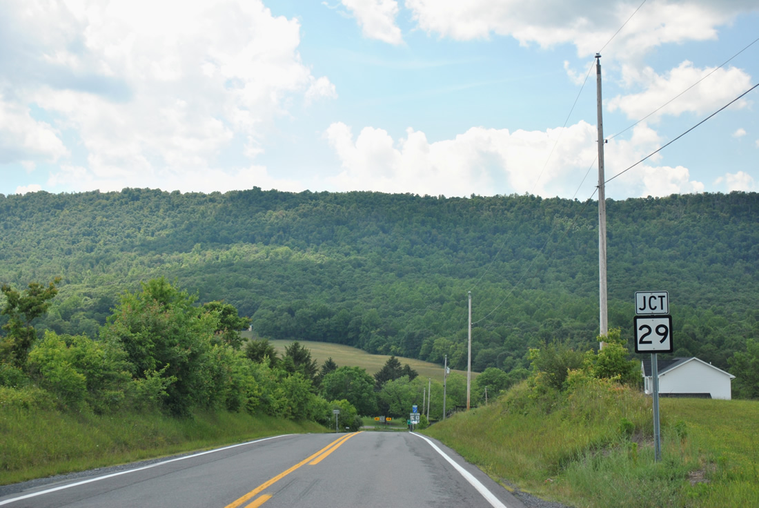
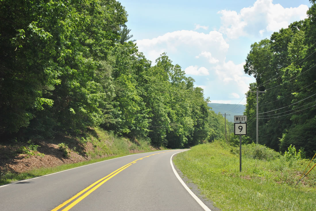
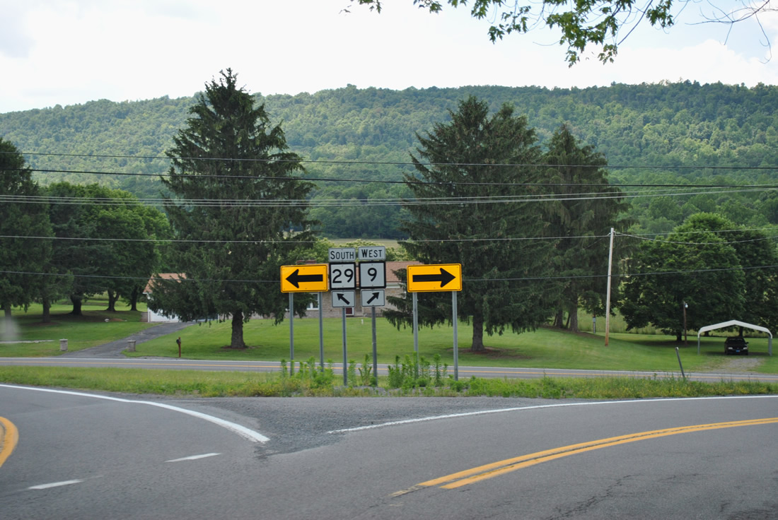
21.3 miles after splitting with U.S. 522, WV 9 approaches another state highway (WV 29) in the shadow of Spring Gap Mountain.
06/08/12
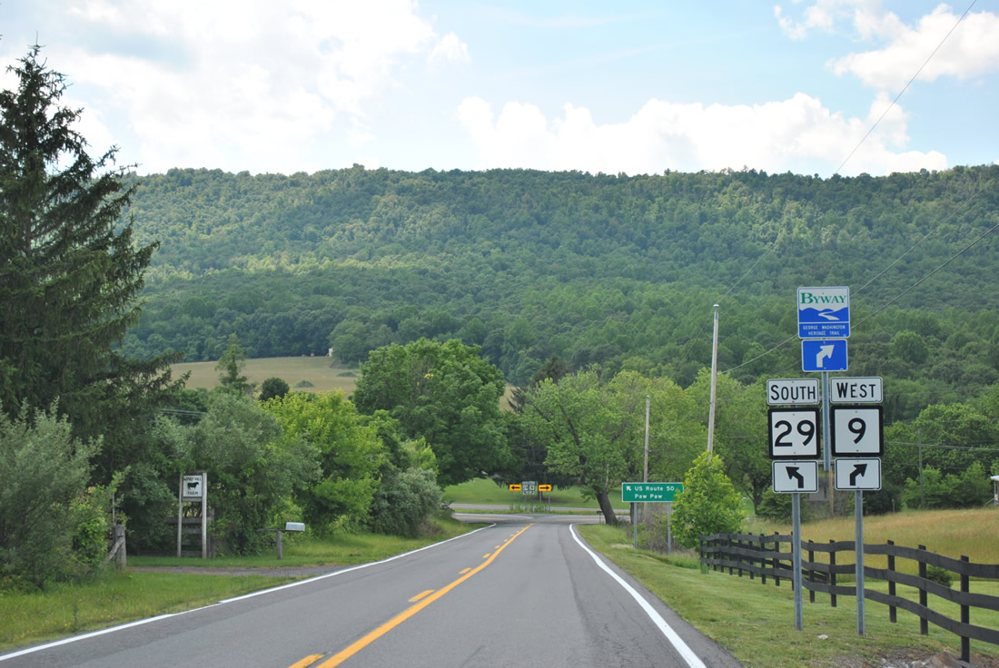
WV 29 begins at the northern turn of WV 9 west. The state highway totals 69 miles south to Forks of Cacapon, Slanesville, Delray and Baker.
06/08/12
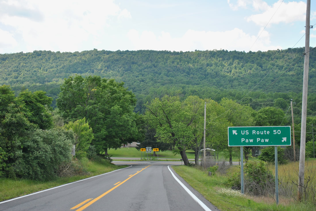
WV 9 turns north into Paw Paw from WV 29, while WV 29 south is signed simply as the route to U.S. 50. WV 29 and U.S. 50 share a short overlap through Pleasant Dale.
06/08/12
A split wye intersection allows motorists on WV 9 west to continue without stopping from WV 29.
06/08/12
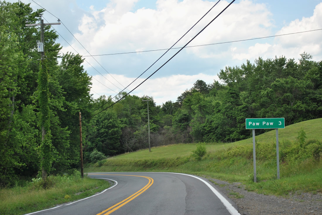
WV 9 (Paw Paw Road) leads another three miles north into the town of Paw Paw.
06/08/12
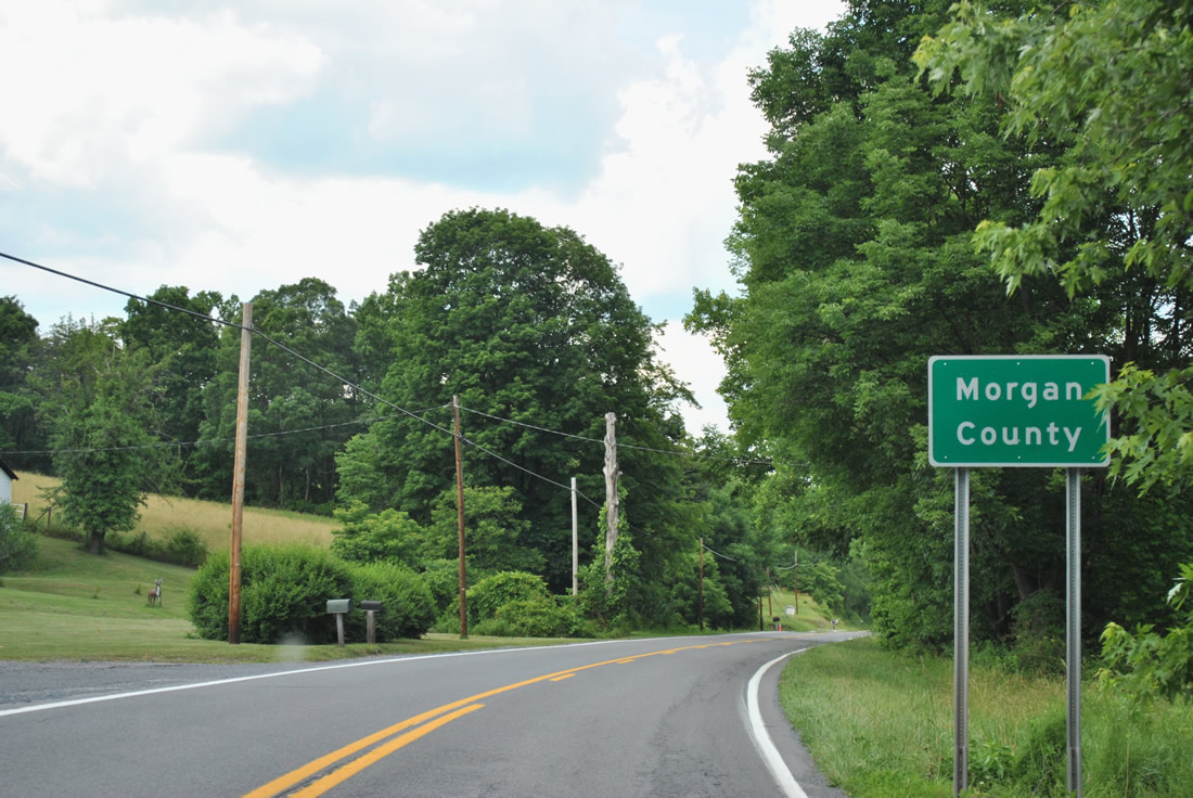
WV 9 reenters Morgan County just 0.3 miles north of WV 29.
06/08/12
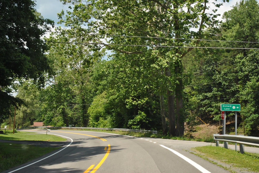
Westbound at the intersection with Orchard Lane (CR 9/24).
06/08/12
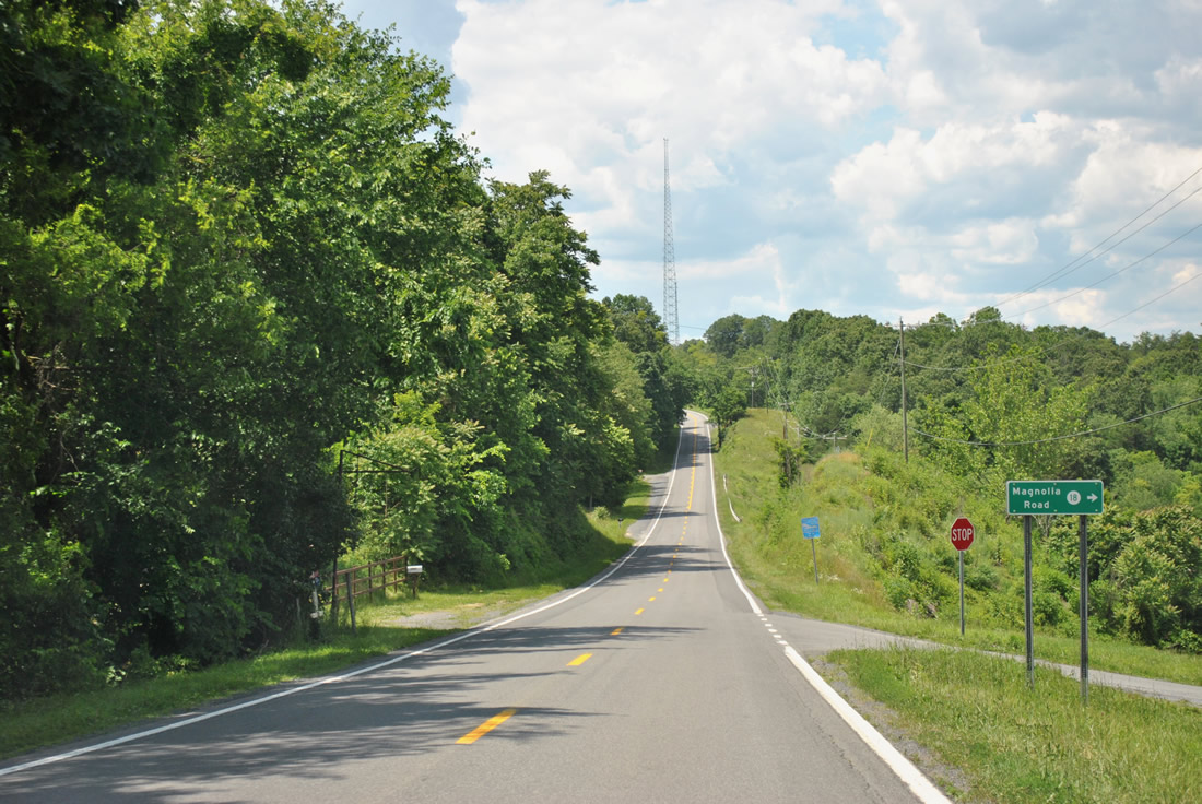
CR 18 (Magnolia Road) snakes its way east from WV 9 (Paw Paw Road) across Sideling Hill back to WV 9 near Great Cacapon.
06/08/12
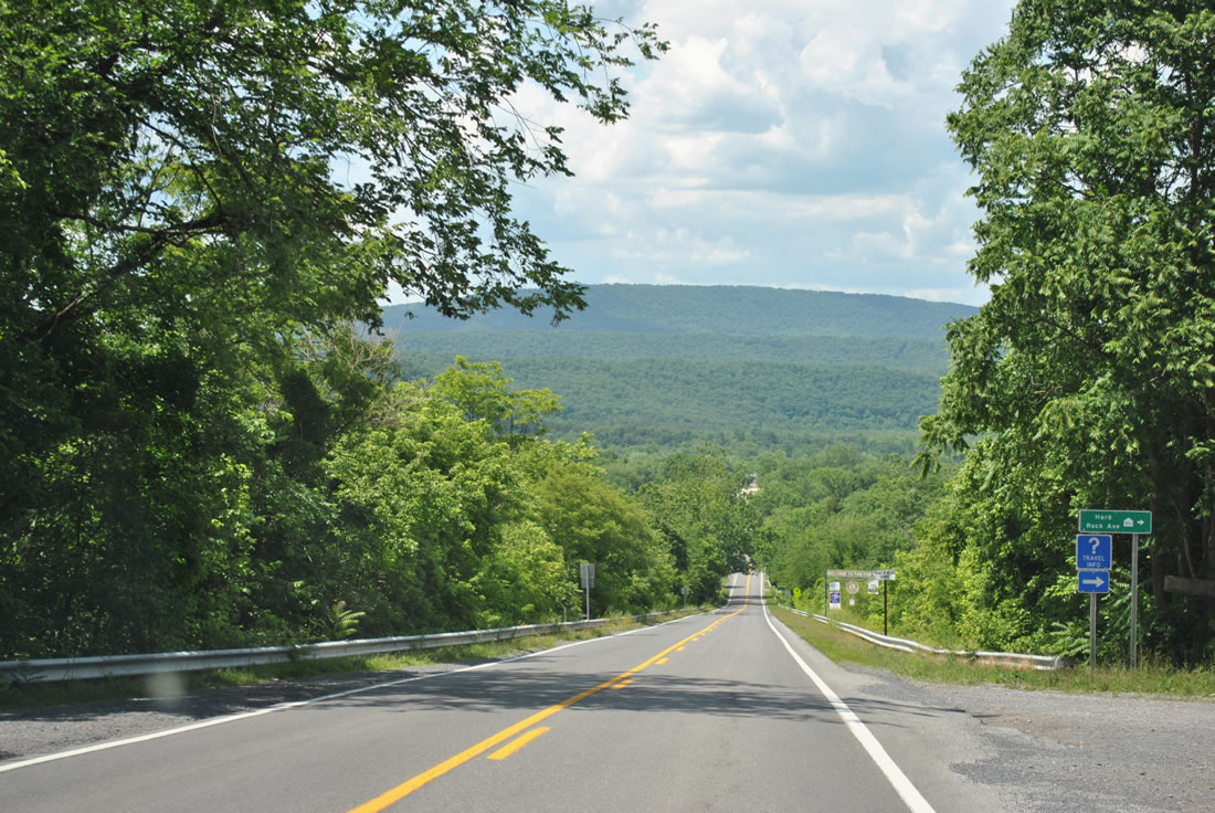
Hard Rock Avenue doubles as CR 953, one of the residential state secondary routes used by WVDOT.
06/08/12
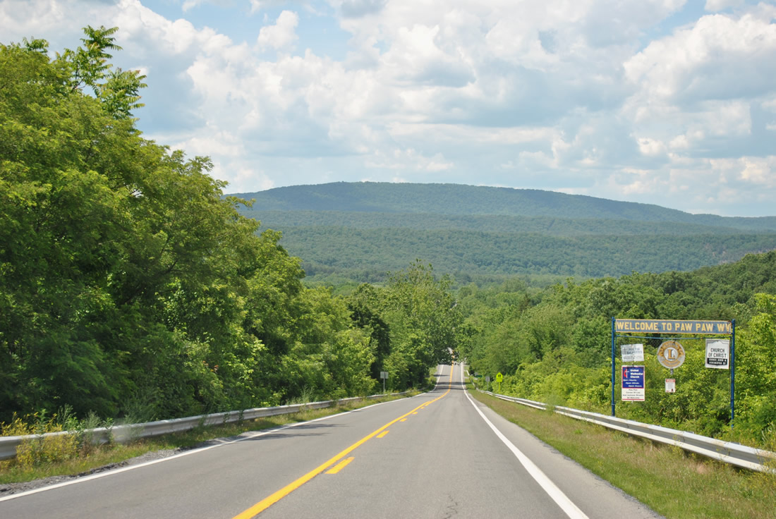
WV 9 (Paw Paw Road) drops toward the town of Paw Paw. Sorrell Ridge, Anthony Ridge, and Town Hill rise from Maryland to the north.
06/08/12
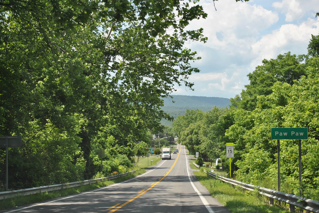
Paw Paw was incorporated on April 8, 1891 and is named after pawpaw, a fruit that once grew throughout the region. The town is home to around 500 people and is one of three named Paw Paw in the United States.
06/08/12
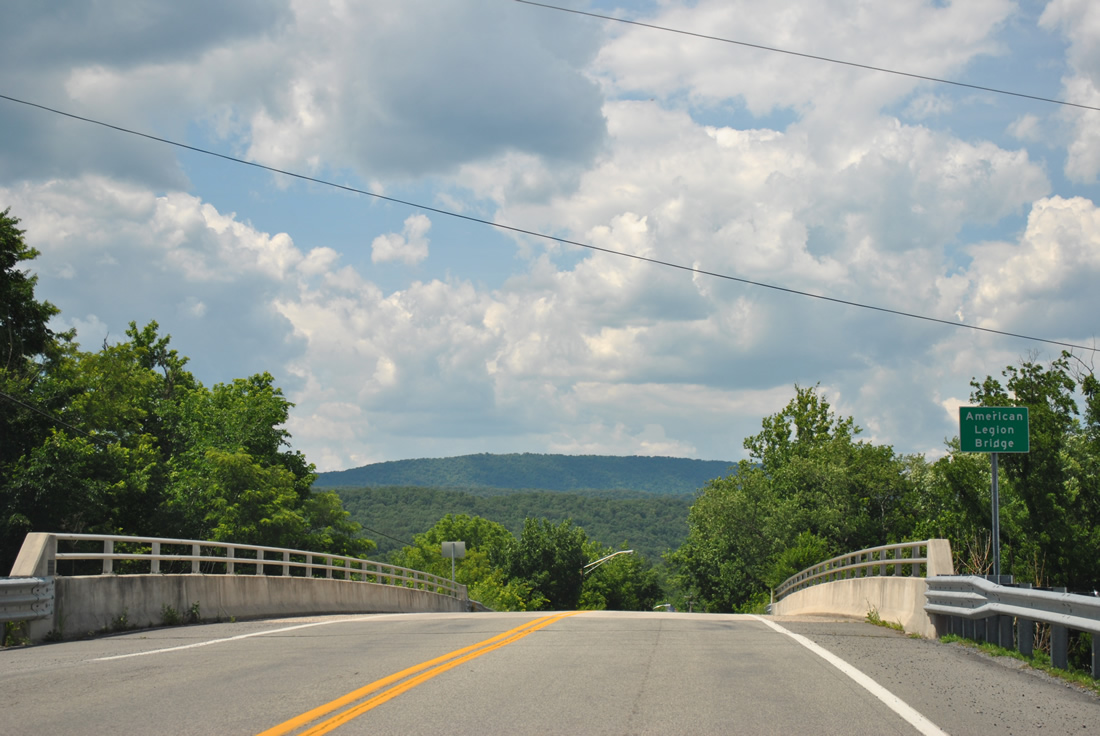
The WV 9 crossing over the CSX Railroad in Paw Paw is named the American Legion Bridge. The state highway follows Henry W. Miller Highway along the east side of town.
06/08/12
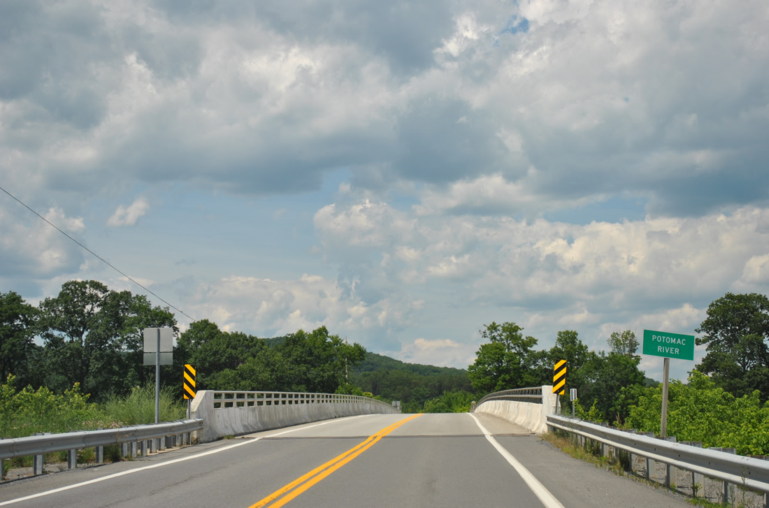
Route 9 curves northeast from Paw Paw to the Potomac River and Allegany County, Maryland. The state line follows the south banks of the river as Route 9 becomes MD 51 at the crossing.
06/08/12
References:
- "Upgraded W.Va. 9 segment to open Wednesday." The Charleston Gazette (WV), November 12, 2012.
- "With Delta-Rahmen Bridge complete, W.Va. 9 set to open Nov. 2." The Journal (Martinsburg, WV), October 27, 2012.
Photo Credits:
- Alex Nitzman: 06/08/12
Connect with:


Page Updated Tuesday February 05, 2013.