
Route 16
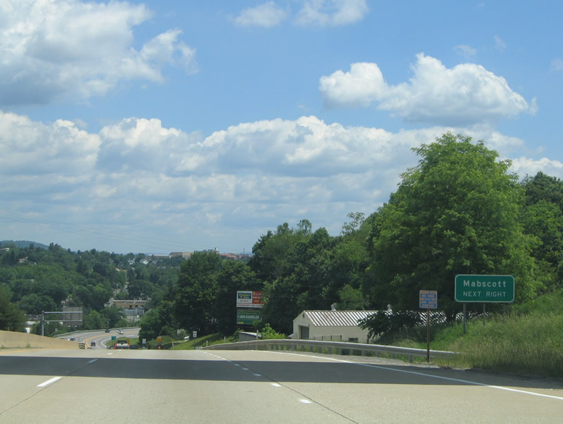
Route 16 (Robert C. Byrd Drive) descends from the trumpet interchange with I-64/77 (West Virginia Turnpike) into the town of Mabscott and city of Beckley. Off-ramps depart from the divided highway ahead to Depot Street and City Avenue.
06/17/05
Northbound reassurance shield posted on the descent into Mabscott. WV 16 enters Mabscott from Sophia and Crab Orchard as a four lane highway with WV 97. WV 97 ends at the West Virginia Turnpike interchange.
06/17/05
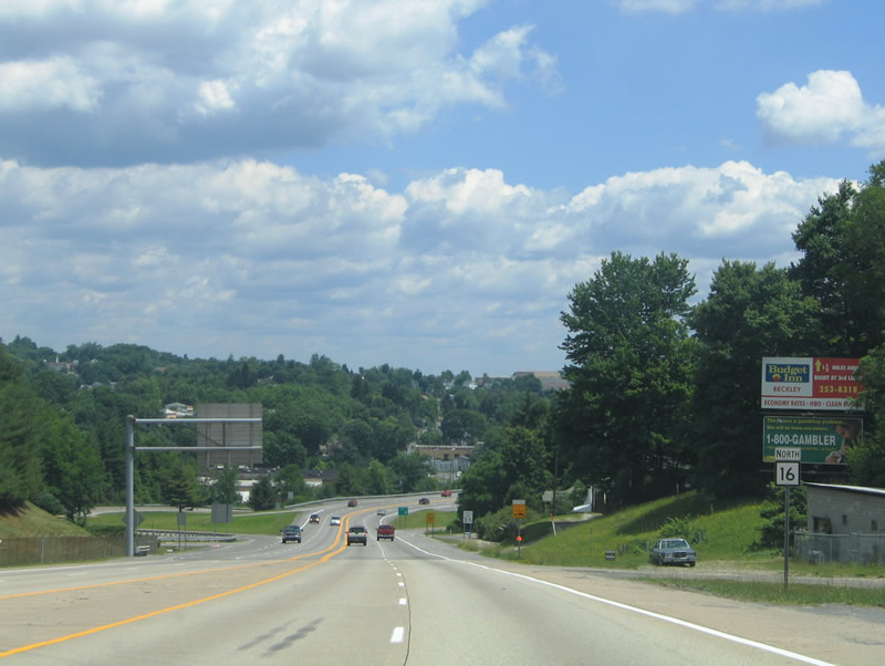
A folded diamond interchange joins WV 16 with Depot Street west and City Avenue north. City Avenue acts as a business loop to WV 16 through Mabscott. Depot Street stems northwest to Whitestick Avenue.
06/17/05
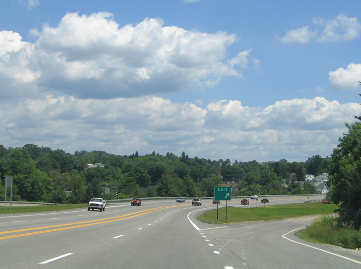
Route 16 leads southward from Beckley and Mabscott to a trumpet interchange and access road with the West Virginia Turnpike. The four lane expressway proceeds south from ramps with City Avenue to a grade separation with Fitzpatrick and Old Soak Roads
06/17/05
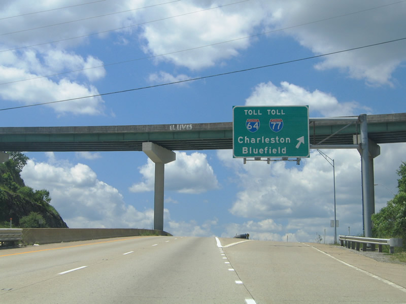
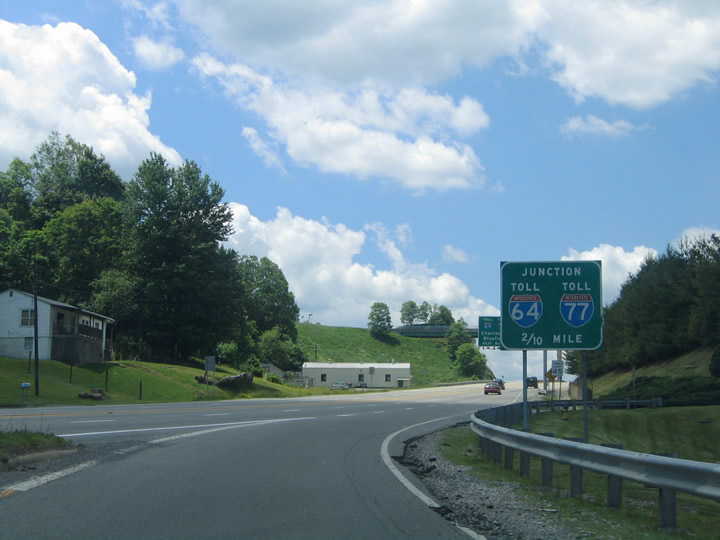
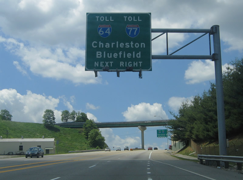
The entrance ramp for I-64/77 departs from Route 16 southbound. I-64 west/77 north follow the West Virginia Turnpike northward to Charleston. I-64/77 split 2.3 miles to the south.
06/17/05
Traffic partitions on the access road linking WV 16 with the West Virginia Turnpike. I-64/77 heads north three miles to the connector with U.S. 19 northeast to Oak Hill, Summersville, and Morgantown. The toll road extends 56 miles to the Kanawha River crossing in southeast Charleston.
06/17/05
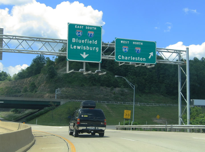
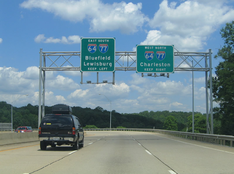
The connection from WV 16 to the I-64/77 south split is toll free. Interstate 64 branches east from Beckley to Green Sulphur Springs, Lewisburg, and White Sulphur Springs. Interstate 77 remains along the turnpike to Princeton.
06/17/05
Photo Credits:
- Alex Nitzman: 06/17/05
Connect with:
Page Updated Saturday June 08, 2019.