
Route 28 and Route 28 Alternate


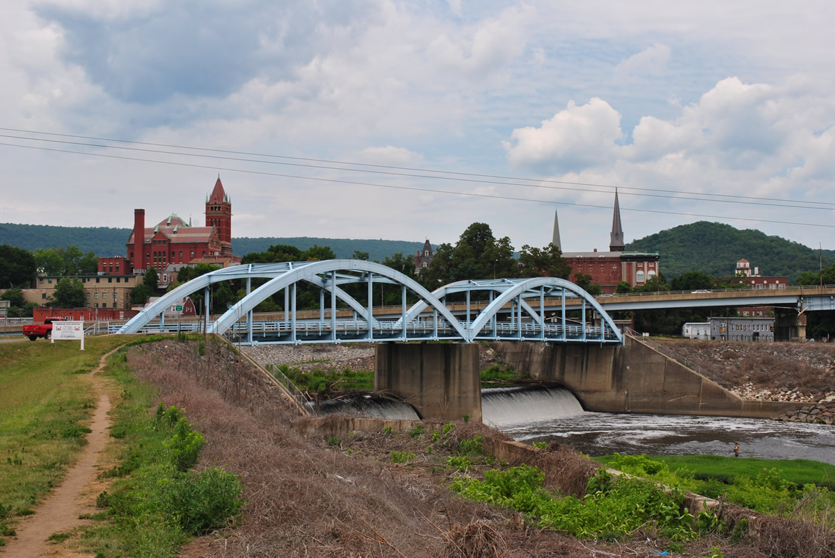
Water from the North Branch Potomac River rushes under the steel arch bridge that links Downtown Cumberland, Maryland with Ridgeley, West Virginia. The river turns south from Wills Creek to Wiley Ford, WV. - 06/24/2012
WV 28 is a 150 mile route traveling the spine of the Appalachian Mountains from Huntersville (WV 39) to Wiley Ford in eastern portions of the Mountain State. WV 28 becomes MD 61 at the state line.
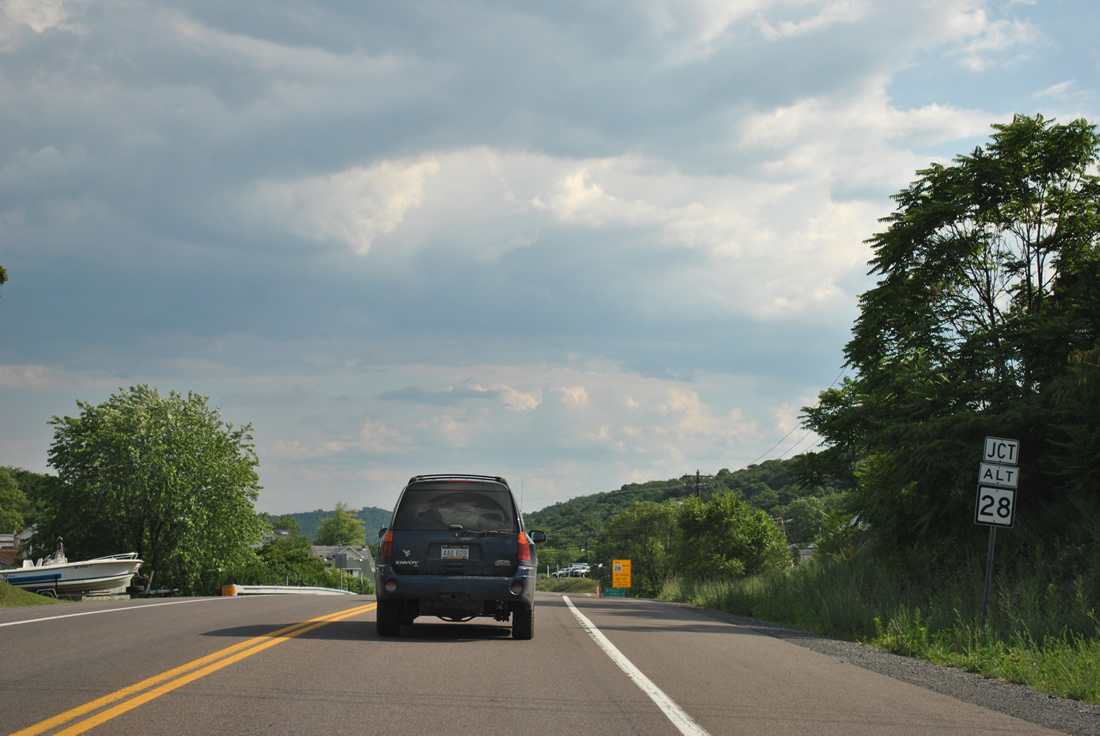
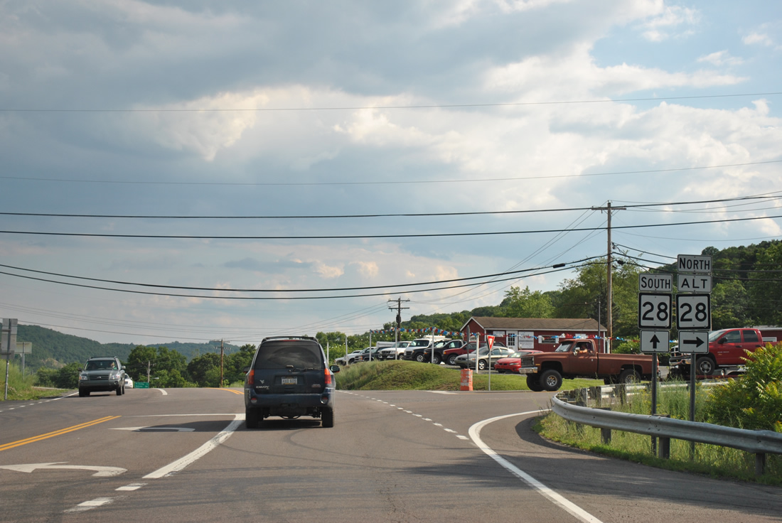
The state route splits with an Alternate route at Wiley Ford. WV 28 Alternate loops north three miles through Ridgeley to Downtown Cumberland, Maryland while WV 28 travels across the North Branch of the Potomac River to South Cumberland, Maryland.
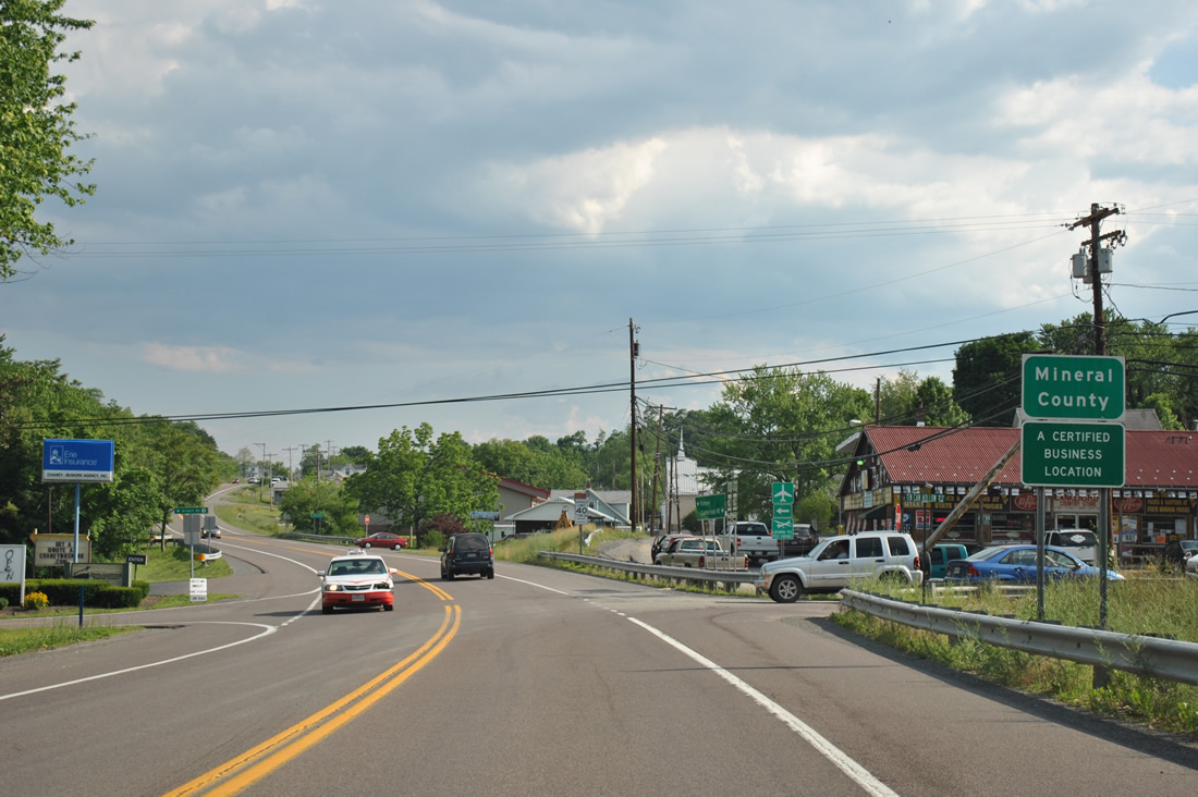
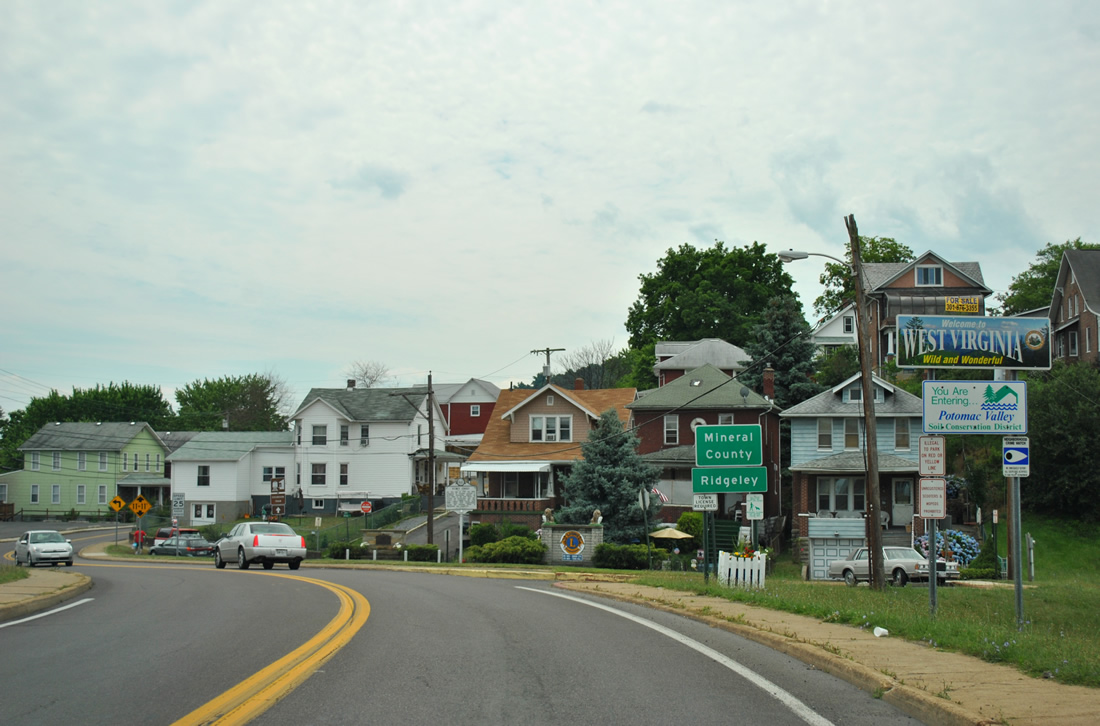
Mineral County sign posted just south of the North Branch Potomac River bridge on WV 28 south. Airport Road (CR 28/11) spurs east from the state highway to Cumberland Municipal Airport (UBE) while Tin Can Hollow Road meanders west to WV 28 Alternate.
06/08/12
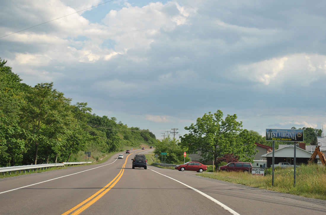
A welcome to West Virginia sign follows the intersection with Airport Road. WV 28 bypasses much of the unincorporated community of Wiley Ford along this stretch.
06/08/12
WV 28 Alternate heads south from downtown Cumberland and Ridgeley by way of Knobly Mountain to end at WV 28 in Wiley Ford.
06/08/12
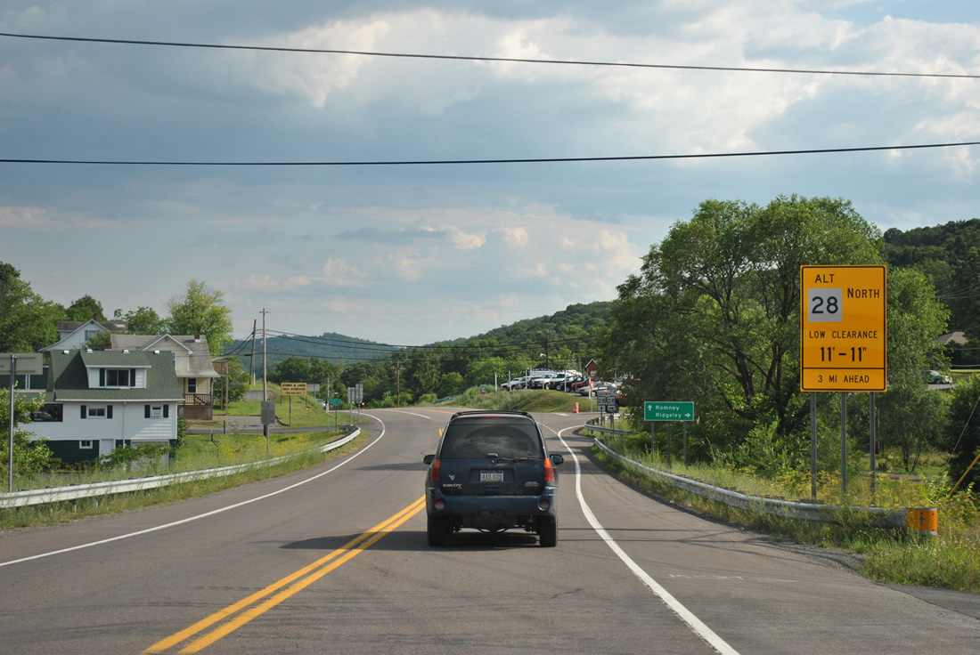
Motorists taking WV 28 Alternate north are advised of a low clearance (11 foot 11 inches) at the CSX Railroad underpass in Ridgeley.
06/08/12
WV 28 Alternate ties into WV 28 opposite Highland Avenue. Connections in downtown Cumberland link the state highway with Interstate 68. WV 28 south otherwise continues south 24 miles to the Hampshire County seat of Romney.
06/08/12
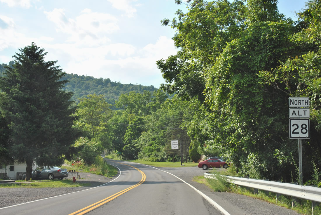
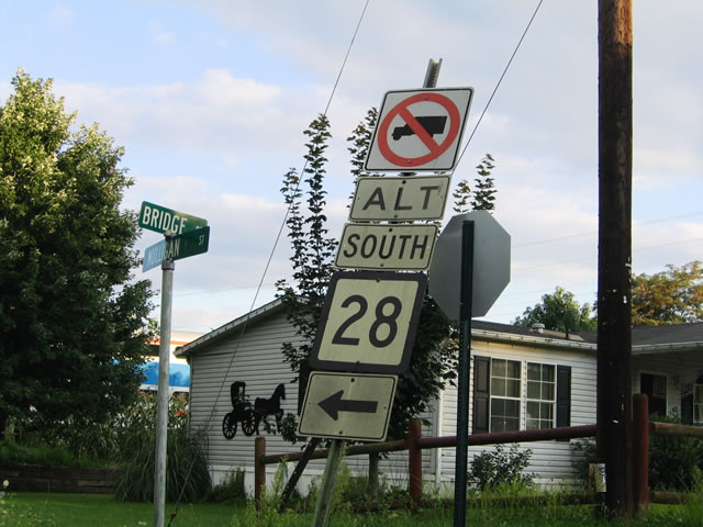
The first shield of WV 28 Alternate resides just north of its split with WV 28 in Wiley Ford.
06/08/12
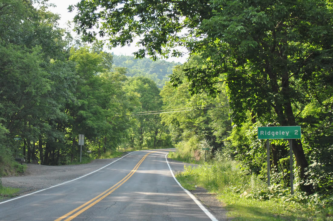
Distance sign posted two miles south of Ridgeley at the WV 28 Alternate intersection with Clearview Avenue in Wiley Ford.
06/08/12
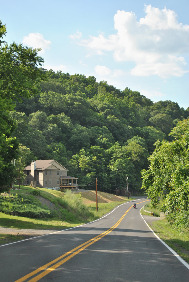
WV 28 Alternatea leaves Wiley Ford and hugs the eastern side of Knobly Mountain to Ridgeley.
06/08/12
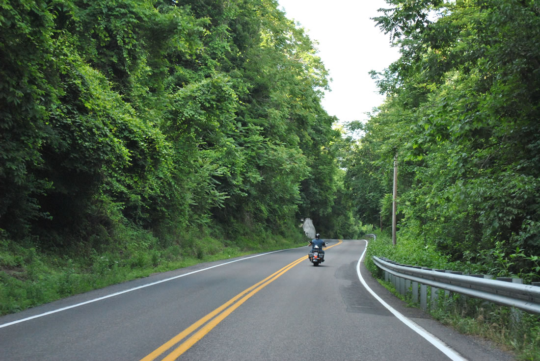
Traveling high above the adjacent Cumberland River North Branch on WV 28 at Knobly Mountain.
06/08/12
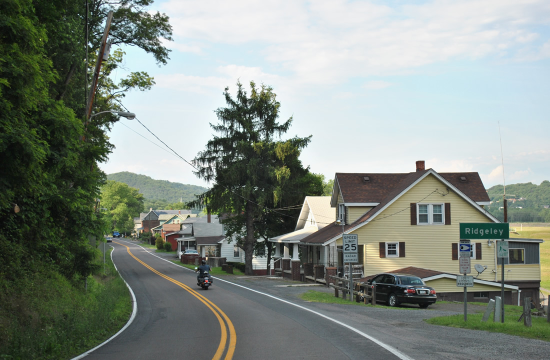
WV 28 lowers from Knobly Mountain into the town of Ridgeley. Incorporated on November 28, 1914, the town was named after the land owners who founded it. The population of Ridgeley was 675 as of the 2010 census.
06/08/12
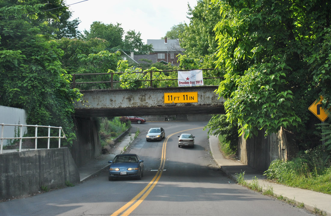
WV 28 turns from Potomac Street onto Mulligan Street to the CSX Railroad overpass in Ridgeley. The low clearance (11 foot 11 inches) precludes trucks from using the alternate route to Cumberland.
06/08/12
WV 28 Alternate turns right onto Bridge Street from Mulligan Street and the CSX Railroad bridge. Bridge Street carries the route to the North Branch Potomac River just across from downtown Cumberland.
06/08/12
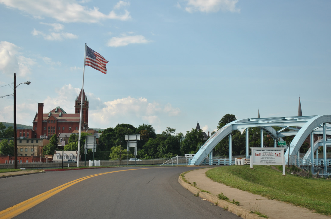
A steel arch bridge spans the Potomac River North Branch into downtown Cumberland. Bridge Street links WV 28 with Greene Street just below the Interstate 68 & U.S. 40-220 viaduct. Green Street leads west to ramps for the elevated freeway.
A Maryland welcome sign was posted here in 2004, but missing by 2012.
06/08/12
The Maryland state border lines the south banks of the Potomac River North Branch through Cumberland. Bridge Street meets Greene Street at a signalized intersection one block north of the river. From there Greene Street overtakes Bridge Street north one block to the intersection of Baltimore Street, Washington Street, and Cumberland Street.
06/24/12
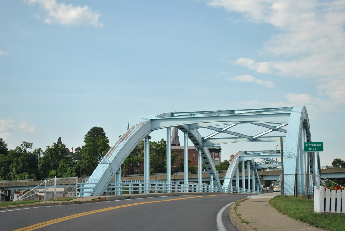
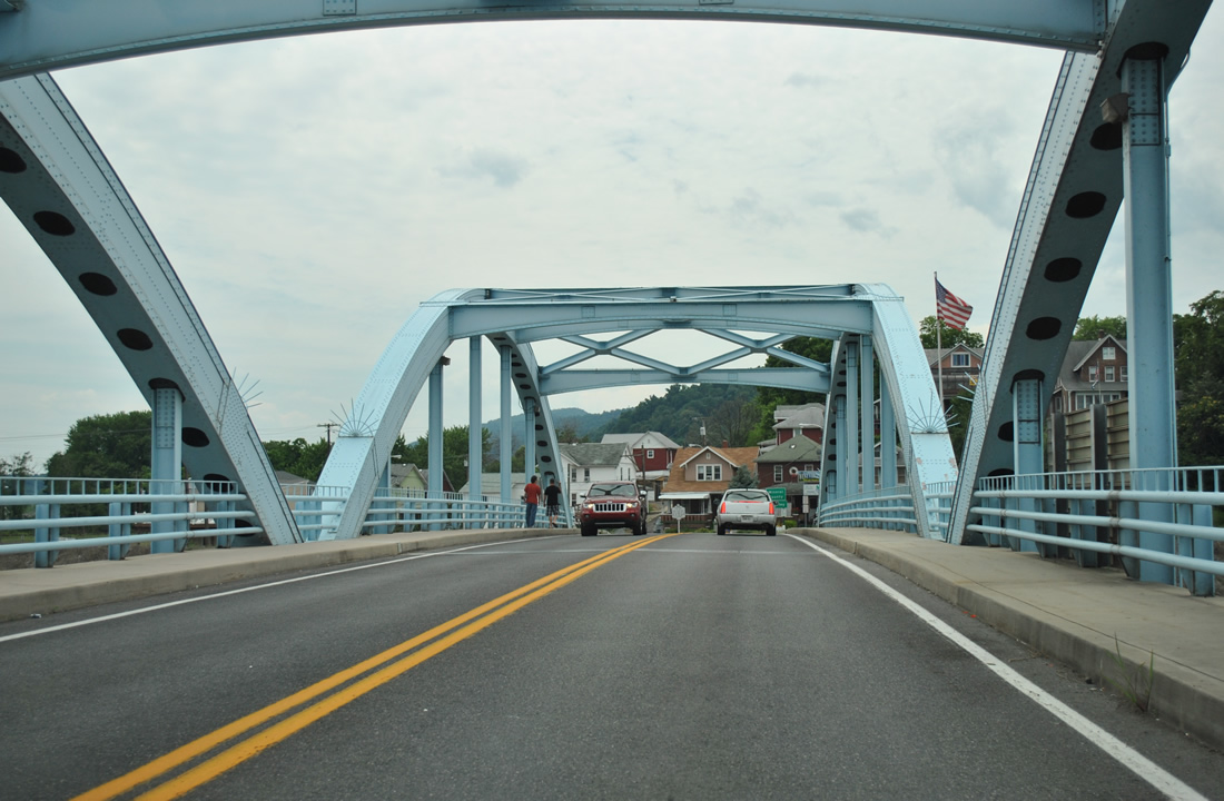
Bridge Street spans the North Branch of the Potomac River from downtown Cumberland to Ridgeley, West Virginia across a steel arch bridge.
06/08/12
WV 28 Alternate officially begins as Bridge Street reaches the south banks of the Potomac River North Branch.
06/08/12
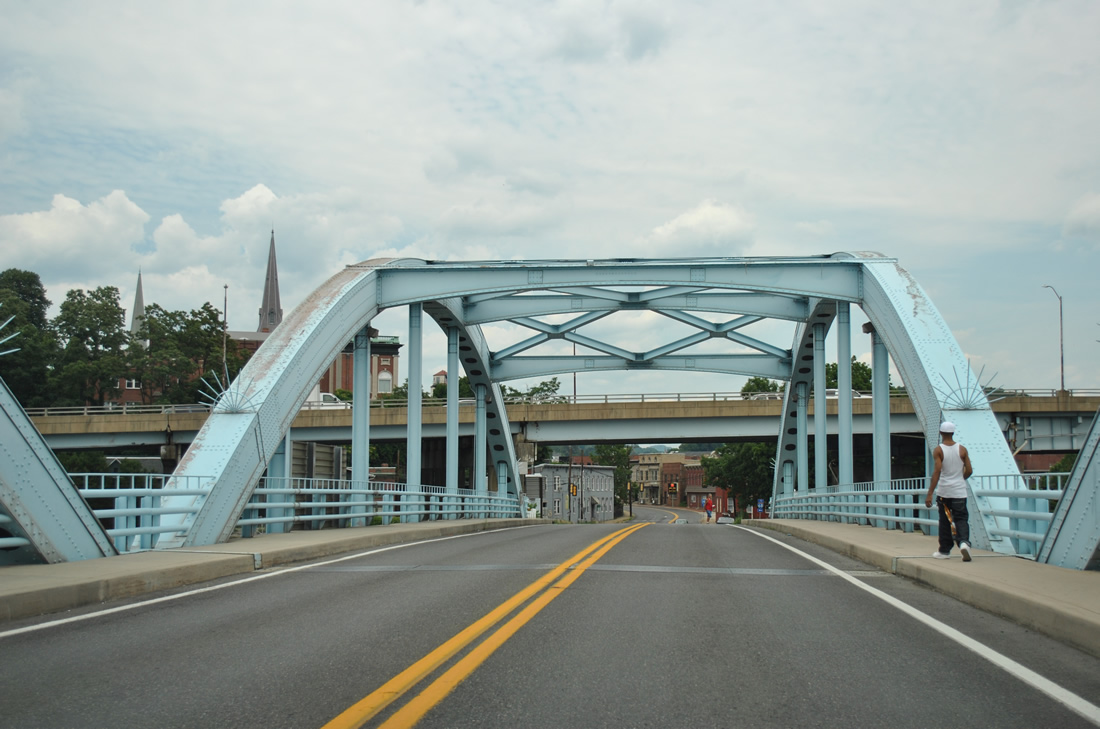
The state highway quickly turns left onto Mulligan Street east from Bridge Street for Potomac Street south out of Ridgeley. A faded shield assembly, since replaced, directs motorists to make a left turn onto Mulligan Street for WV 28 Alternate south to Wiley Ford.
08/07/04
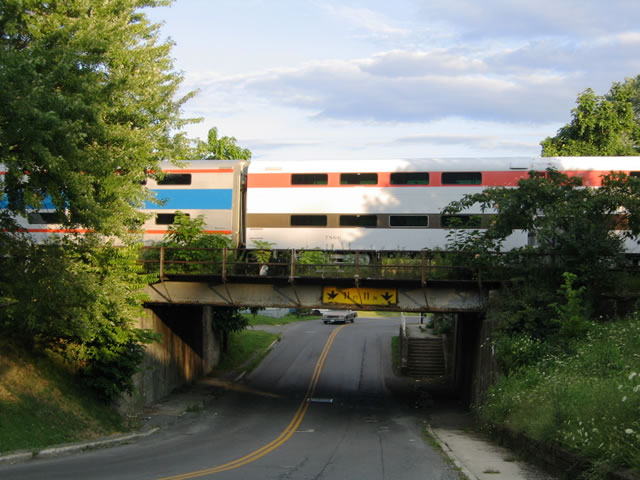
Mulligan Street (WV 28 Alternate) passes underneath a CSX Railroad overpass as it leaves Bridge Street. The span travels low with a clearance of just 11"1".
08/07/04
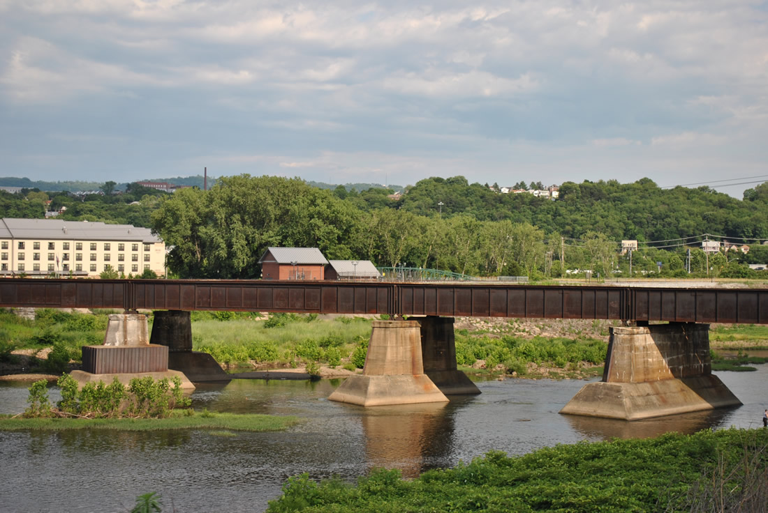
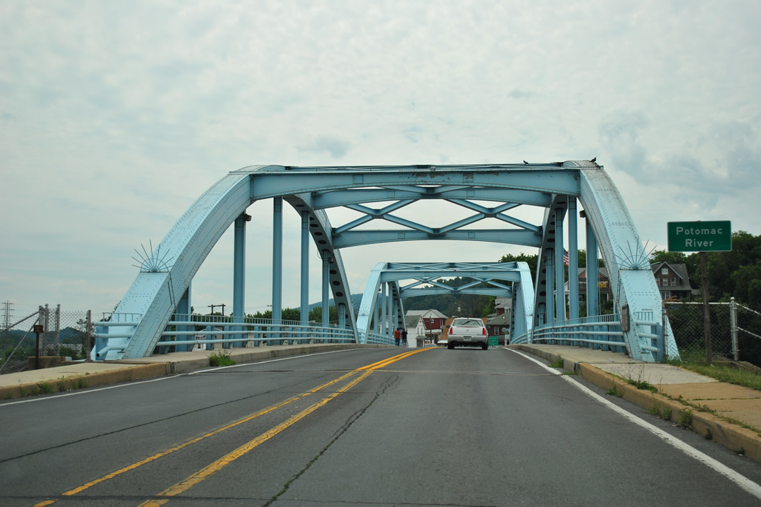
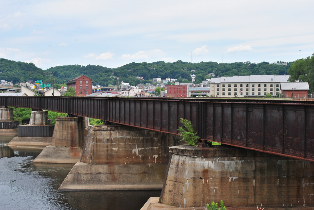
A CSX Railroad bridge spans the North Branch Potomac River just east of the WV 28 Alternate (Bridge Street) in Ridgeley. The railroad spurs west into West Virginia from the Western Maryland Scenic Railroad.
06/08/12
06/24/12
Photo Credits:
- Alex Nitzman: 08/07/04, 06/08/12
- ABRoads: 06/24/12
Connect with:

Page Updated Tuesday February 05, 2013.