
Rhode Island Road & Highway Photo Guides
Sitemap to road and highway photo guides for Rhode Island.
Interstates
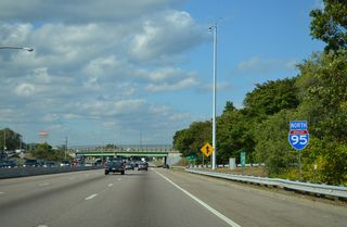
 Interstate 95
257 photos
 Interstate 195
51 photos
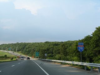
 Interstate 295
105 photos
U.S. Highways
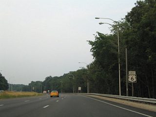
 U.S. 6
20 photos
State Routes
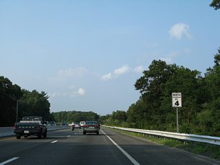
 Route 4
16 photos
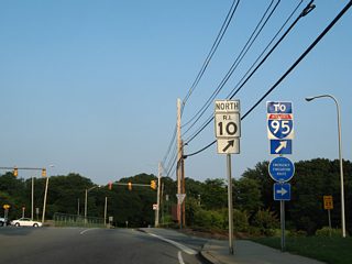
 Route 10
19 photos
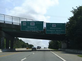
 Route 24
34 photos
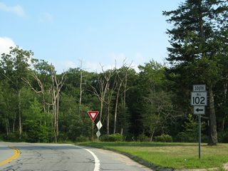
 Route 102
16 photos
 Route 114
25 photos
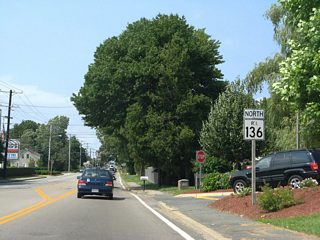
 Route 136
26 photos
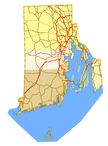
Photo Coverage of Roads and Highways in Rhode Island
AARoads documents highways and roads across Rhode Island with route-by-route photo guides organized by direction of travel. Coverage includes Interstate Highways, U.S. Routes, Rhode Island State Routes, and select county roads.
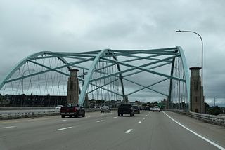
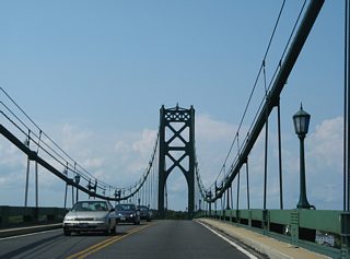
Photo guides focus on highway signage, interchanges, route markers, city limit signs, county lines, and notable points of interest along each route. Urban guides of the Providence area features extensive coverage of the I-95 and I-195 urban corridors. Coastal route coverage extends to iconic bridges while rural corridors emphasize reassurance markers and route junctions.
New and updated photos for Rhode Island routes are added periodically and cataloged on the updates page.
Photographic Contributors
Photography by Alex Nitzman, Andy Field, Brent Ivy, Carter Buchanan and Ian Ligget.
Last updated: Thursday December 30, 2021