
California 2 West
| California 2 west | ||
|---|---|---|
 |
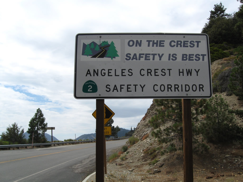 |
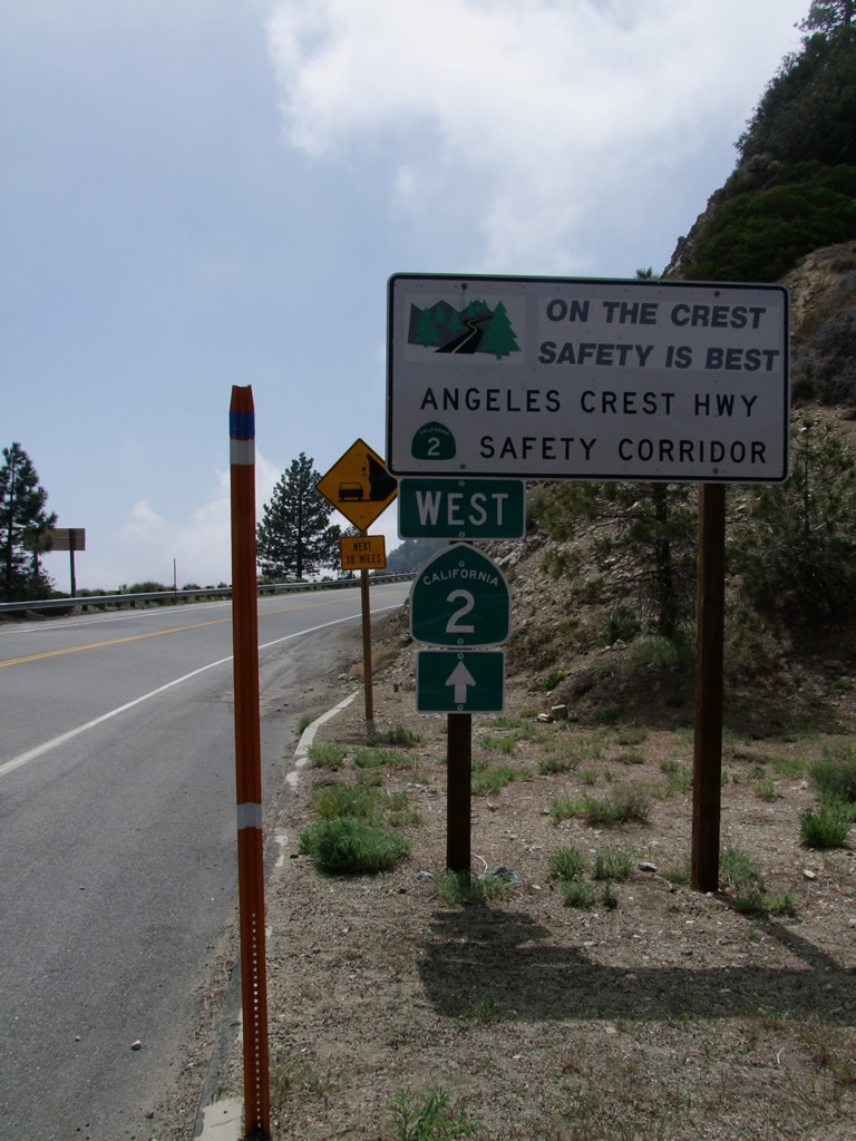
Leaving Islip Saddle, this sign advises of the need for safety along California 2 (Angeles Crest Highway). A small California 2 shield (complete with state name) is posted within the safety sign. Photos taken 05/21/10 by Martin Grahl and 08/22/09. |
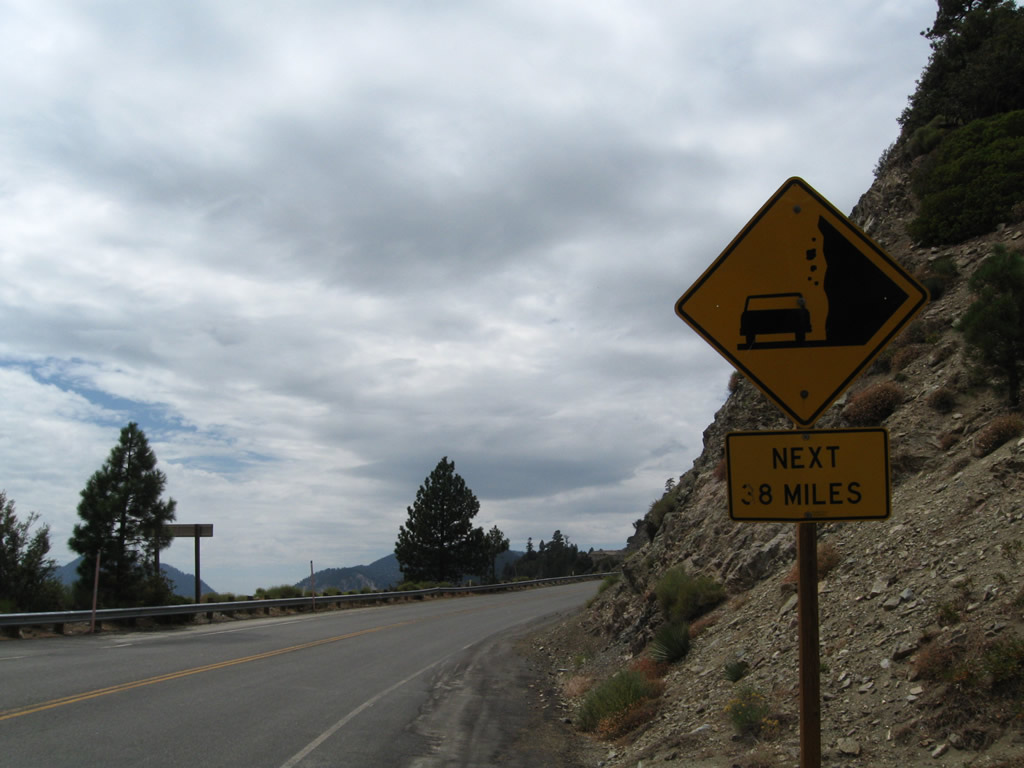 |
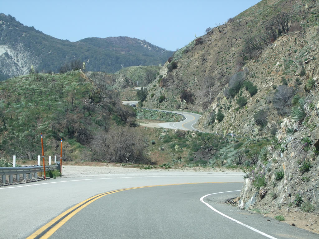
Falling rock along California 2 (Angeles Crest Highway) is a daily fact of life. Watch for rocks on the road for the next 38 miles, or from Islip Saddle southwest to La Canada-Flintridge, especially during or after inclement weather. Photo taken 08/22/09. |
 |
Skipping ahead, westbound California 2 (Angeles Crest Highway) meets Upper Big Tujunga Road, which travels west to connect with Los Angeles County N-3 (Angeles Forest Highway). Photo taken by Martin Grahl (05/21/10). |
 |
This view looks west along California 2 (Angeles Crest Highway) after the Upper Big Tujunga Road intersection. Photo taken by Martin Grahl (05/21/10). |
 |
Westbound California 2 (Angeles Crest Highway) approaches Mt. Wilson Red Box Road, which travels south to Mt. Wilson. California 2 continues southwest toward the junction with Angeles Forest Highway, La Canada-Flintridge, and Glendale. Photo taken by Martin Grahl (05/21/10). |
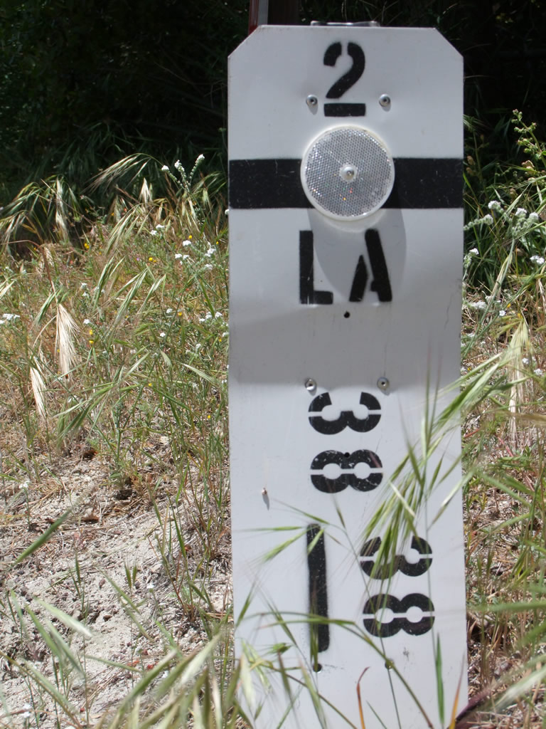 |
This postmile for State Route 2 Mile 38.38 in Los Angeles County is located near the Mt. Wilson Red Box Road intersection. Photo taken by Martin Grahl (05/21/10). |
 |
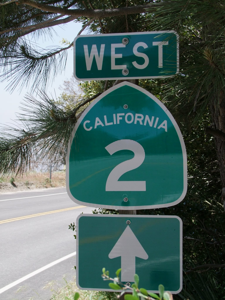 |
A California 2 west trailblazer is posted after the Mt. Wilson Red Box Road intersection in the shade of a conifer tree. Photos taken 05/21/10 by Martin Grahl. |

Page Updated January 28, 2012.
|
About Contact Glossary |
In The News Testimonials Interstate Guide |
Social Media:
 |
|
© 2000-23 AARoads.com | All Rights Reserved | Privacy Policy / Terms of Use
|
||